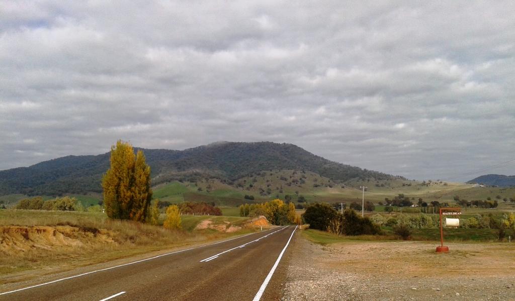
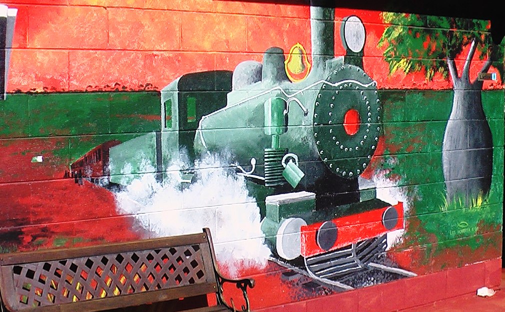
Day 27 – 22nd April – Temora to Corryong – 270 Km
A cool morning, but not quite as cold as the 2C and 4C of the previous two, greeted us as I took the car for a service. With that chore attended to we left Temora at 11.30 am bound for Corryong via Wagga Wagga and Tumbarumba. The run to Wagga Wagga and then along the Tumbarumba Road to where it crosses the Hume Highway is fairly flat but then its character changes abruptly. From flattish open farm country it changes to mountains covered with forest. The first steep hill starts immediately on the other side of the Hume Highway.
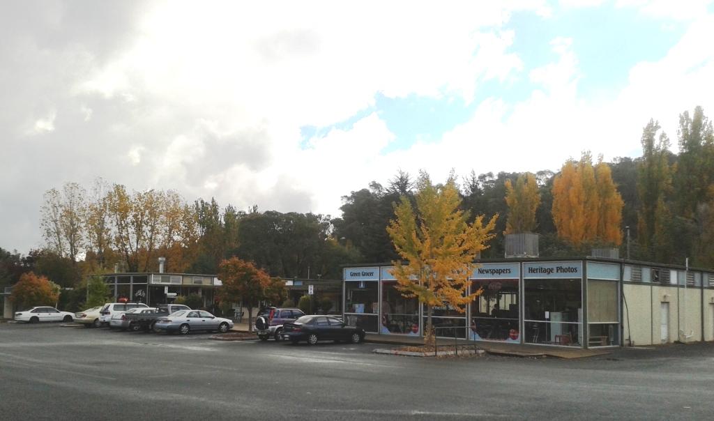
Wagga Wagga was a fuel and lunch stop. It appears to be a prosperous regional city with a great deal of commercial building going on. We found a pleasant little park for our break. Having just come from Temora Aviation Museum we did not stop at the aircraft display at the front of the RAAF base at North Wagga but continued on through the small town of Ladysmith (it made me think of apples) and on, after much climbing and descending, to Tumbarumba.
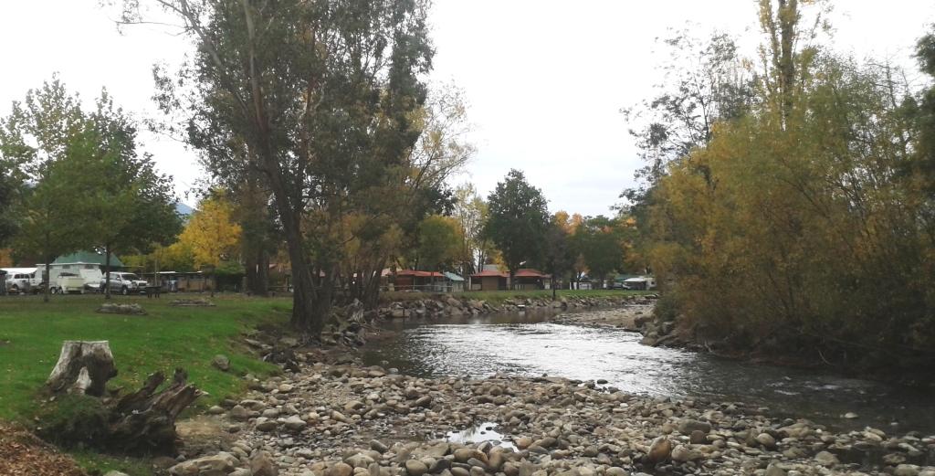
We had not been to this very pretty town before and were not prepared for the sight of it nestled in its valley and expanding onto the surrounding slopes. We were not able to stop for a photo, as there was nowhere for a caravan to park on the steep descent into the town. You cannot see a town properly unless you spend a bit of time in it. And you often have to retrace your steps to get good photographs.
In the centre of Tumbarumba.
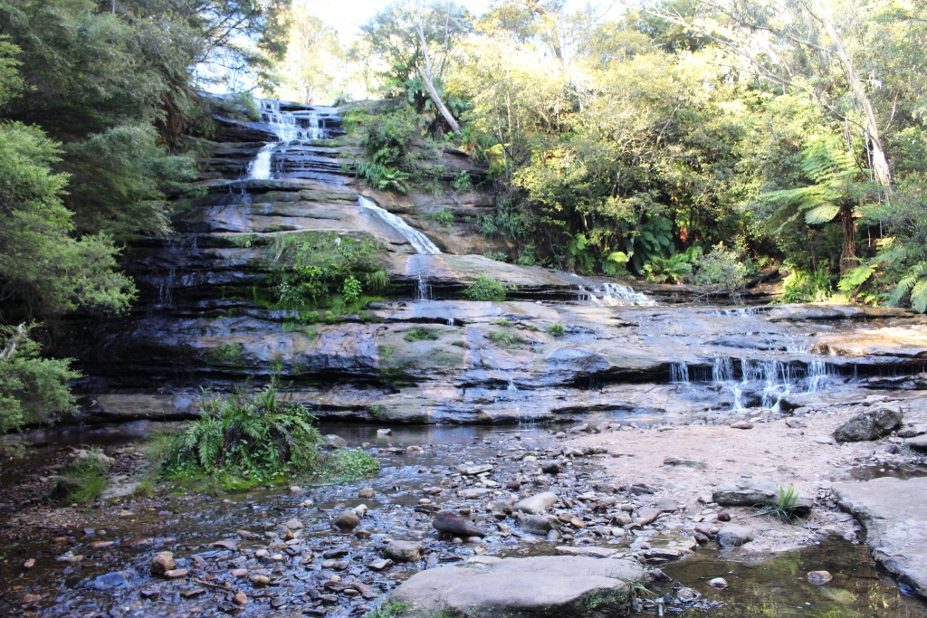
The earlier part of the road to Corryong was again a series of steep climbs and sharp descents with some really choice spots at which we could have camped if arrangements had permitted. There were about four caravans in one clearing beside a creek. We would have loved to join them.
Further along this road we came across a memorial to lost aircraft the Southern Cloud. This aircraft, an Avro 618 Ten, went missing on a flight from Sydney to Melbourne in May 1931 with 6 passengers and a crew of 2. A search failed to find it and its remains were not discovered until 27 years later when a Snowy Mountains Authority employee stumbled upon it. The memorial occupies a site on a hill top beside the road, looking across a valley to the mountain side where the aircraft crashed. A number of display boards tell the story.
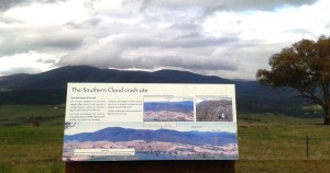
The mountains of the crash site behind the sign that tells the story.
Ruth walks among the story boards of the memorial.
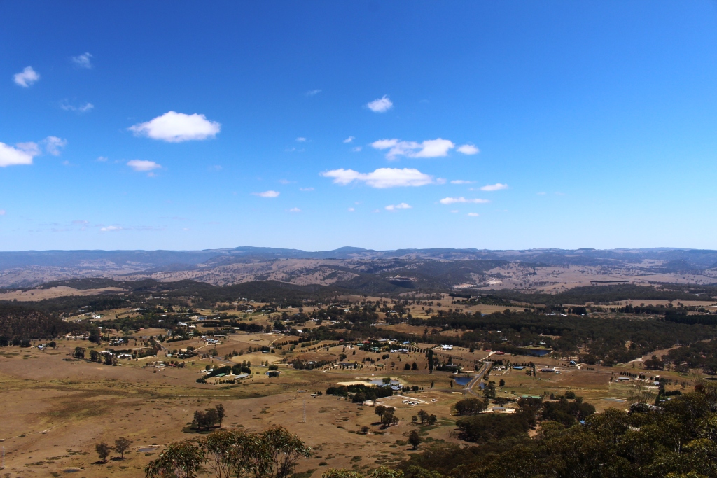
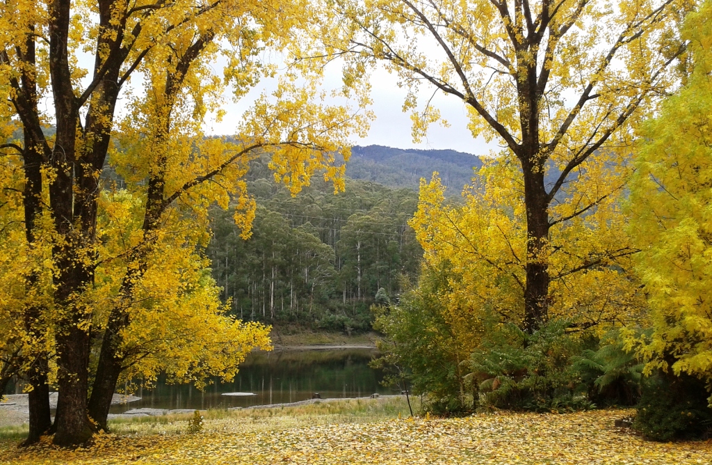
From this point on the forest dissipated and deep cleared valleys and rolling hills of farmland commenced. The natural vegetation has been replaces with clumps of deciduous species such as maples and poplars. With autumn well progressed the leaves have turned to the lovely colours that precede their fall. The hills and valleys are dotted with sheep and cattle with scattered farm buildings. Smoke rises from chimneys into the still afternoon air. You can almost feel the warmth of the fire side as you drive past.
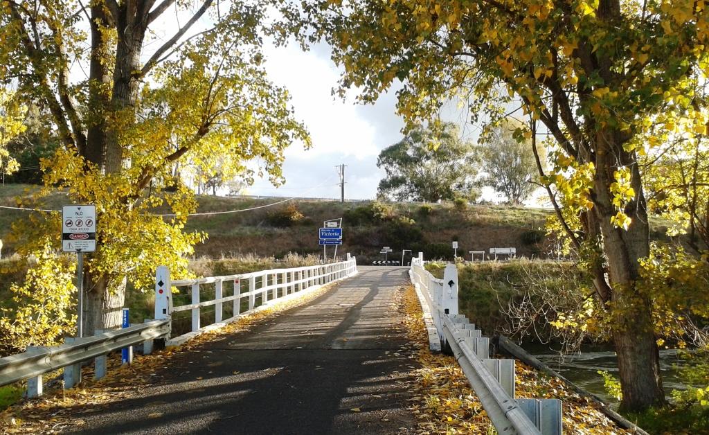
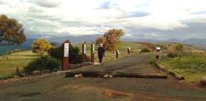
Entry to Victoria at Towong
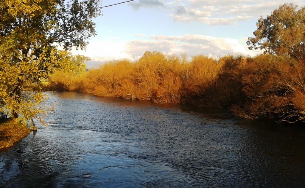
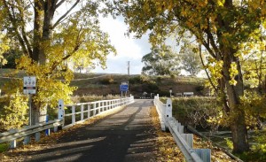
There are many points on the Murray River where you can cross from NSW to Victoria but surely not many as pretty as the crossing at Towong. The river, at this point, is not very wide and the bridge is a simple timber structure, but it has a welcoming appearance that is most attractive. The run from Towong to Corryong is along a valley between grassy hills. Pastures rise from the stream to the crests of hills with a background of tree covered ranges and are dotted with cattle with a few sheep. This town is the nearest of any size to the Snowy Mountain area so it has claimed “The Man from Snowy River” as its own. There are representations of horses and riders all over the place.

Murray River viewed from the Towong bridge.
Day 28 – 23rd April – Khancoban & the Snowy Mountains
It is not possible to do justice to this area in a day so it was a pity that overnight rain kept us in until about 11.00 am. But the sky started to clear so there seemed a good chance that we would be able to see some mountains instead of cloud. It was midday by the time that we reached Khancoban so we stopped there for lunch, knowing that there was no food to be had before Thredbo, and we certainly were not going that far.
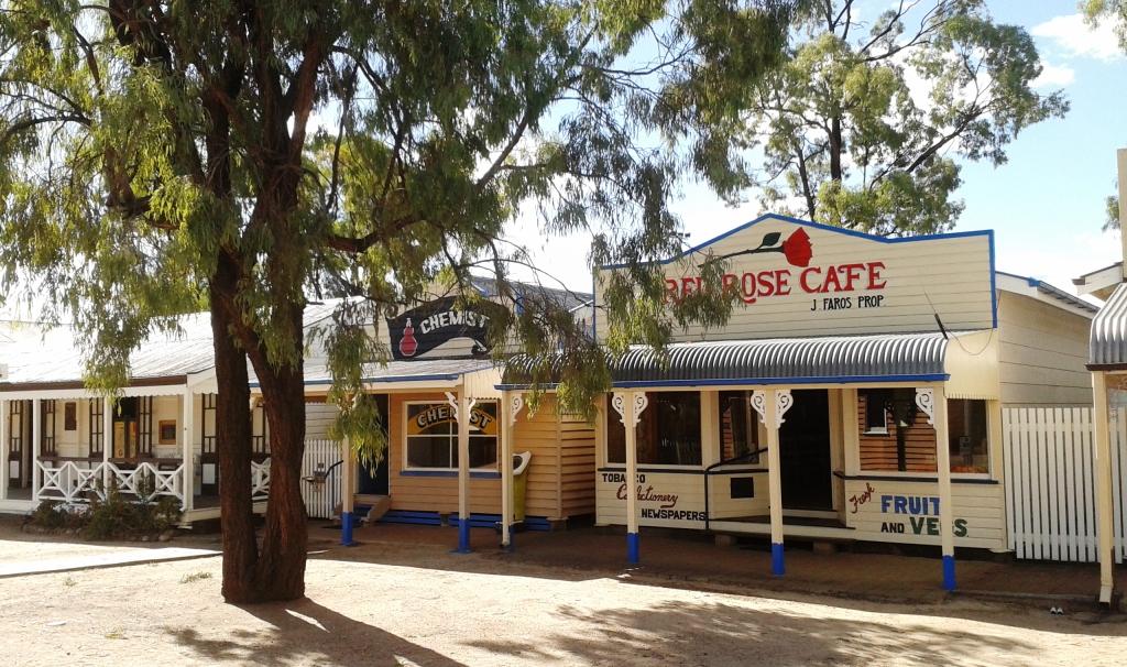
Khancoban Town Centre
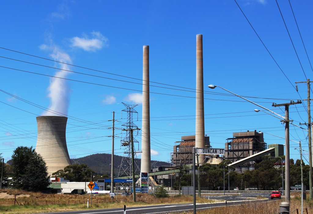
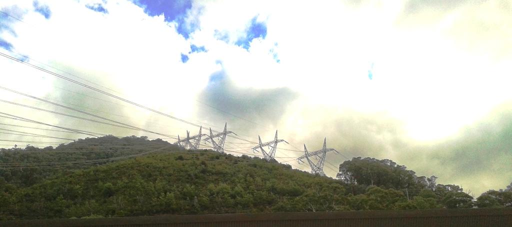
We commenced our sightseeing at the Murray No 1 Power Station lookout. You will probably recognise this place. It is the one where the three big white pipes come down the hill carrying the water to drive the turbines and with towers that carry the power lines step up the escarpment like giants. The sun was shining on it so it looked grand.
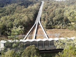
Murray No 1 Power Station

Towers like giants on the hillside.
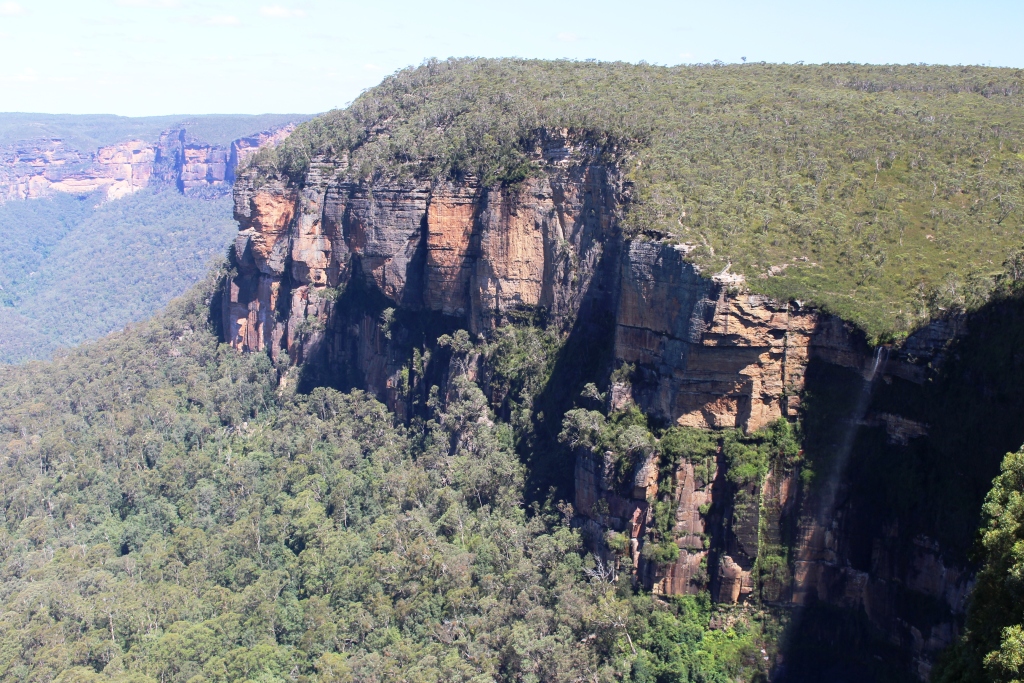
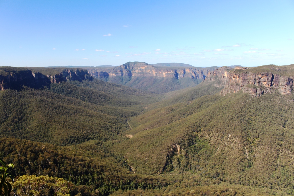
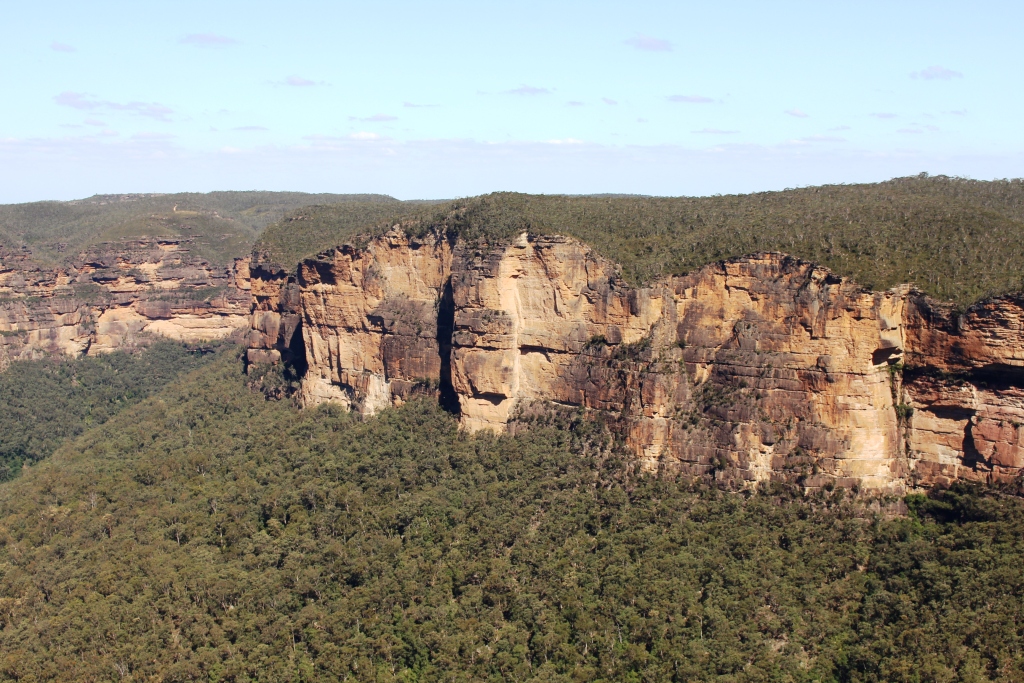
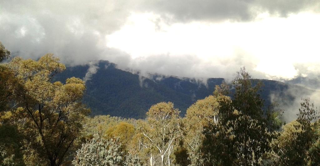
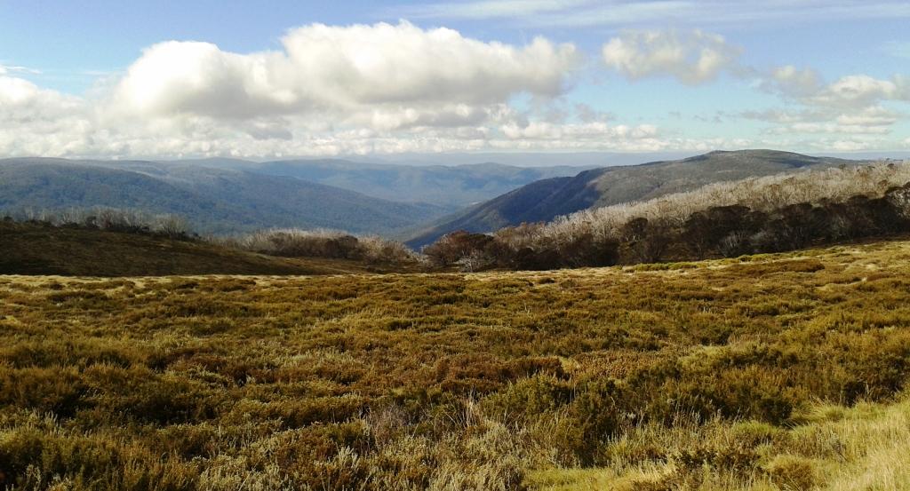
The next stop was at Clews Ridge, named in honour of the late Major Clews who was the main surveyor for the Snowy scheme. The well known (to 4WD people) Major Clews dry weather 4WD track starts from here. A little further on is the Geehi Walls mountain range and then Schammell Spur Lookout. From the observation deck of this lookout a sweeping vista of the western face of the Main Range of the Snowy Mountains greets the beholder. The mountain tops were partly lost in cloud and huge banks of mist rose up the mountain sides. The sight was a bit awe inspiring.

Western Fall of Main Range of the Snowy Mountains.
We journeyed on to Geehi camping area where the Alpine Way crosses the Swampy Plains River. We stopped to chat to a fisherman in a motor home who had been trying his luck with trout in the stream. He claimed to have had no luck at all.
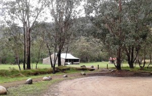
Geehi Hut at the camping area
This camping area is the site of huts built many years ago by cattlemen as camps for that part of the year when cattle were grazed in the high country. We saw Geehi Hut where it stands beside the river. It is constructed of river stones set in concrete. This hut has been destroyed by fire but has been restored by NSW National Parks. The hut, and others like it, is left open so they are available as shelter in emergencies. Campers are requested not to use them and this restriction appears to be honoured.
We turned for home, but detoured to the visitors centre at the Murray No 1 power station. It has a very interesting display that sets out the history of the Snowy Scheme and includes a great deal of information for the technically minded. We discovered that there was food to be had past Khancoban, as the visitor centre contains a neat little coffee shop.
Day 29 – 24th April 2013 – Corryong to Mt. Beauty – 161 Km
We changed our minds this morning and changed them back again this afternoon.
The plan had been to travel to Omeo via the Omeo Highway, but while checking road conditions I noticed that a road closure for the Omeo Highway had just been lifted. Snow and rock falls had closed the road in the last few days. After discussions with the police at Tallangatta we decided that prudence ruled it out and that we would have to reach Lakes Entrance via Melbourne.
Plan B became the Bright area. The GPS sent us via Mt. Beauty and the Tawonga Gap. As we drove into Mt. Beauty we saw a sign that said “Omeo 110”. Enquiries produced information that the road is regularly used by caravans so we decided to revert to plan A. So tomorrow we will set off up the road, past Falls Creek ski area, over the Bogong High Plain and on to Omeo.
Murray Valley Highway
The drive this morning has been along the Murray Valley Highway, so it has been another morning of ups and downs as the road traverses the valleys that host the streams that feed the Murray and the hills that separate them.
From the time that we left Tallangatta late morning we have been following the Kiewa River along the Kiewa Valley. The road follows the foot hills on one side of the river with the golden leaves of maples and poplars lining the stream and with the foot hills on the other side rising to the tree line with the ranges of the Victorian Alps in the background. A truly beautiful sight!
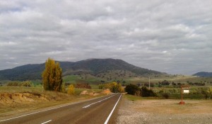
Just before reaching Mt Beauty a rest area provides a fine view to Mt Bogong whith a Lions Club sign pointing out that it is the highest peak in Victoria.
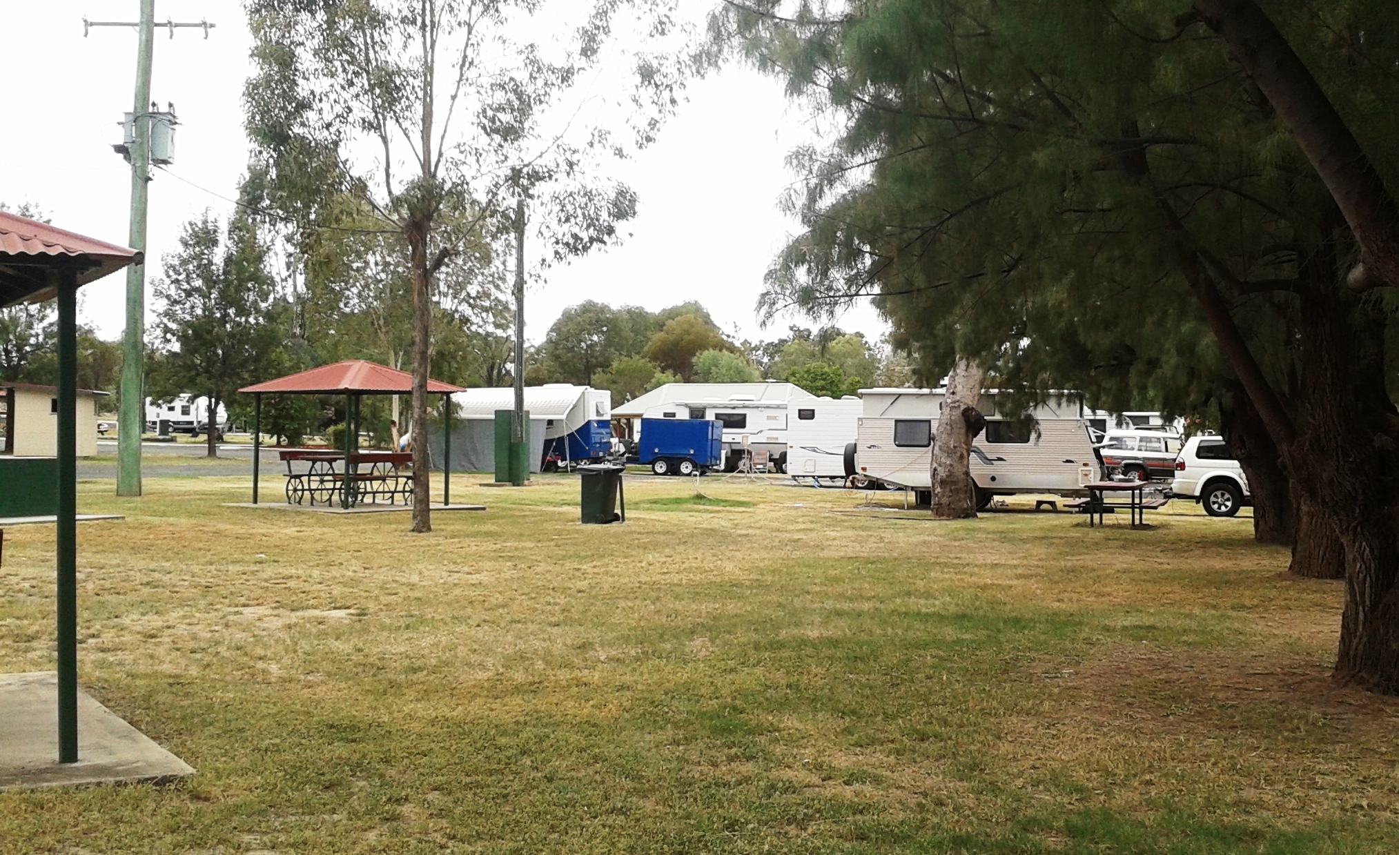
We have a sight in the caravan park on the banks of the West Kiewa River. It is a very pretty spot with lush green grass, rippling clear water and autumn tints. If it was a bit warmer we would sit out for longer to enjoy it.
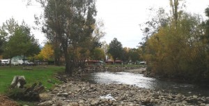
Our view at Mt Beauty Caravan Park
Day 30 – 25th April 2013 – Falls Creek & the Bogong High Plains
Overnight we changed our minds again. Call it losing one’s nerve, or discretion being the better part of valour, I decided that I did not want to tow the van over an unknown road that has steep climbs, sharp bends and reaches 1,750 meters above sea level. So we decided to stay at Mount Beauty for a second night and do a day trip up the mountain today.
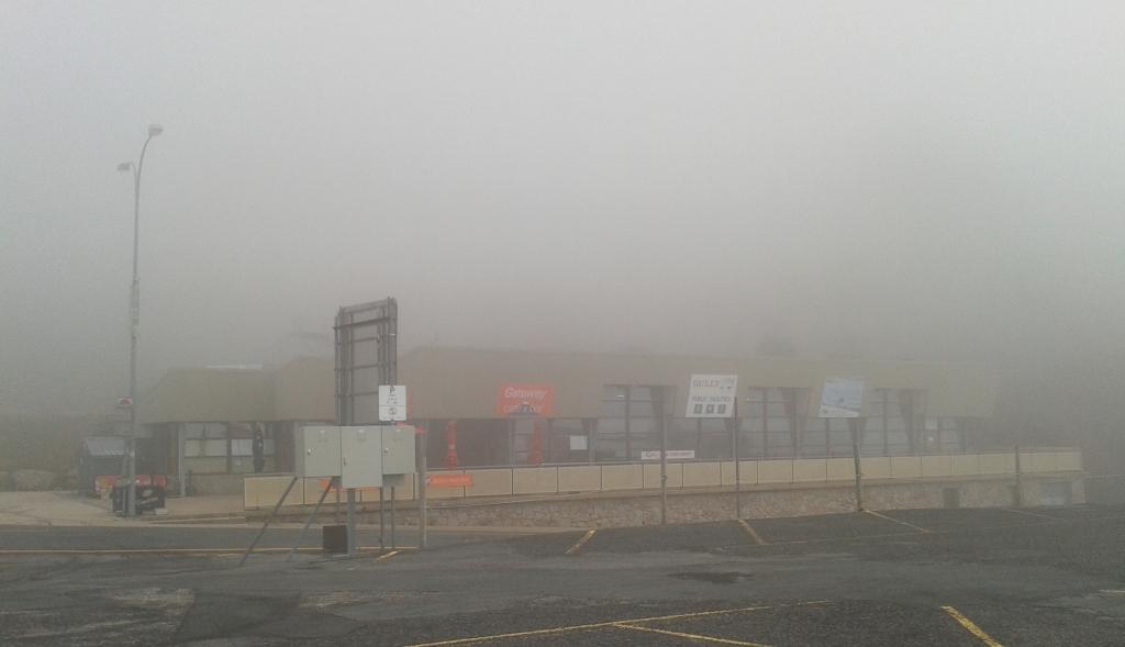
In the 31 Km from Mount Beauty to Falls Creek there is a change in altitude of over 1,500 meters. That means sharp climbs and a winding and, in this case, fairly narrow road. We left town in light overcast weather but about 1 Km below the top we started to encounter mist that became relatively thick cloud by the time we reached the first buildings of the ski resort.
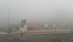
Foggy Falls Creek
There was no view and it was not an occasion for a picnic but a bar/restaurant was open so we became its sole, and I think, its first customers of the day.
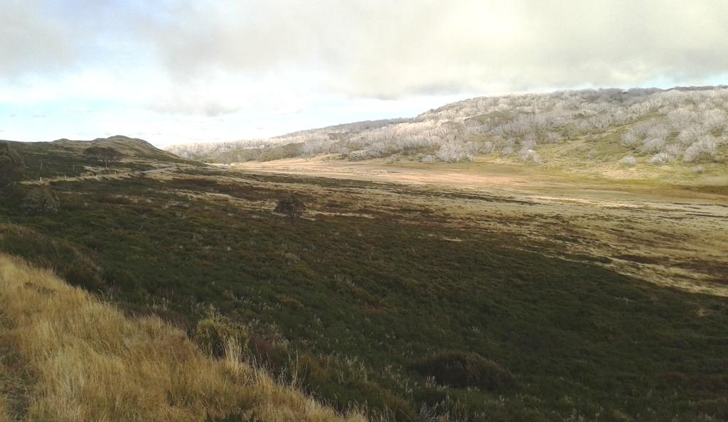
Weather conditions in mountains can be quite fickle so we decided to press on to see if Rocky Valley Dam could be seen. The dam was half visible and the fog was performing some amazing tricks above the water. As the wall of the dam, which is also the bridge, was fairly clear of fog we drove on for another 20 Km towards the Omeo Highway intersection. This extra distance gave us a good look at the Bogong High Plains.

Bogong High Plains 1
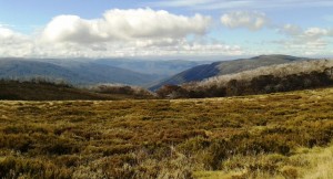
Bogong High Plains
Bogong High Plains 3
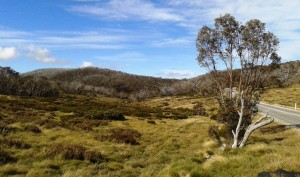
There are a number of walks, or bike rides, some to the sheltering huts that dot the plateau and date back to the days when the area was grazed during the warmer months. Tracks are well marked and often have an information kiosk at the start that gives a variety of relevant information.
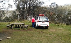
At the point at which we turned around to return to Mt Beauty we saw a sign to a camping area just off the road. We went to investigate. One of its purposes was to provide a camping spot for horse riding parties so it had a fenced area to secure horses overnight. Picnic tables were set among the snow gums and there were fire places as well. There was also a wonderful weatherboard toilet which reminded me of the one for which I had to dig holes when a teenager at Bulahdelah.
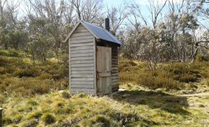
The Rustic Loo
As we returned to Falls Creek we could see the cloud billowing up over the mountain top, driven by a cold wind that had developed considerable strength by that time. There was nowhere for us to enjoy a sheltered picnic lunch so we headed back down the mountain to the small alpine village of Bogong.
Too cold for lunch here
Bogong is a small town, built by the electricity authorities during the construction of the Kiewa hydro electricity scheme, where the houses have now been sold to individuals. We had driven into the village on our way up the mountain and thought that we were in a ghost town. There was not a person in site at 11.00 in the morning. During our return visit folk were abroad but town businesses, the whole two of them, were closed for the holiday. Even Bogong Jack’s bar and bistro, that bore a sign undertaking to open at 11.30 am 7 days a week, was securely closed.

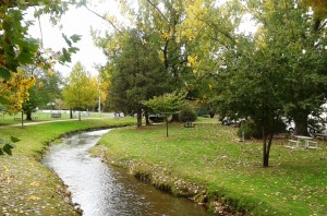
Autumn colours at Bogong Pondage
The town is built down a steep slope, as alpine villages are, to a pondage on the Kiewa River. There quality tourist facilities have been built. The edge of the pondage is lined with poplars and maples which, rapidly turning to their autumn shades looked spectacular against the green backdrop of the native bush. Under SEC ownership the town was a show place with flowers growing in the garden beds. The flower are long gone under private ownership but a sign remains that says “Please don’t pick the flowers”. No doubt as a memorial to better times now gone – just like the flowers.