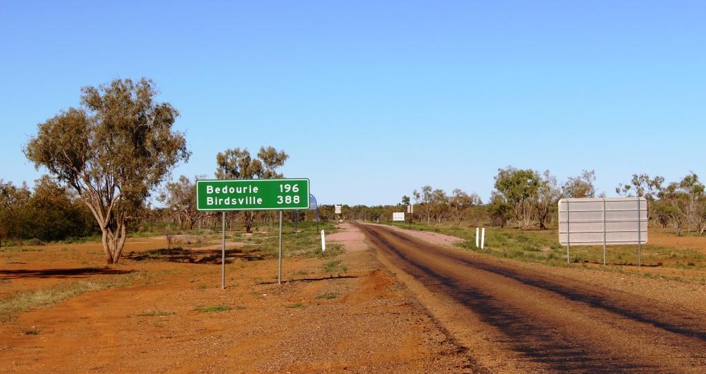
This is the sign that welcomes you to Birdsville. We photographed it on the way out. The +/- 7000 relates to visitors at major events
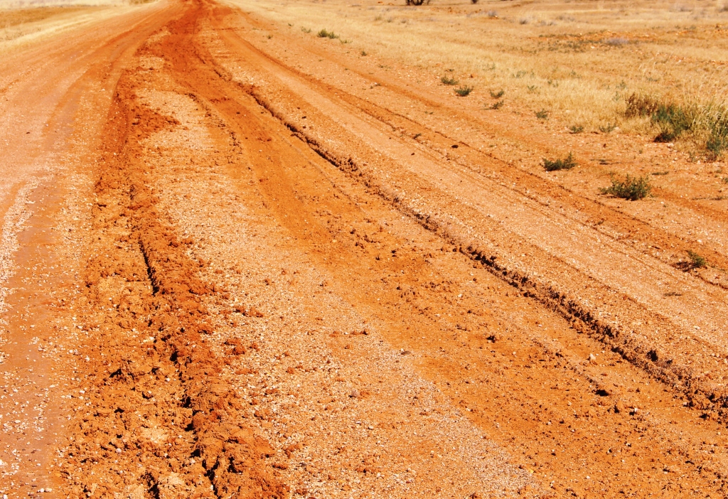
The next two days were spent travelling back to Boulia, so there is not much to be said, as we were covering ground already covered in this trip. But we did take some photographs, of things that we had missed on the way down.

People hang the strangest things beside the road
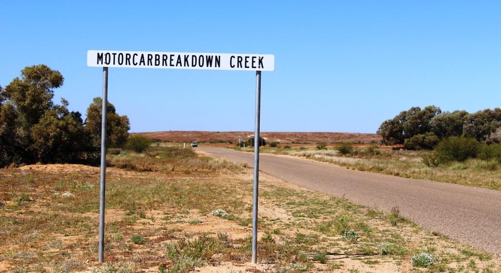
Have you ever seen such a descriptive name?
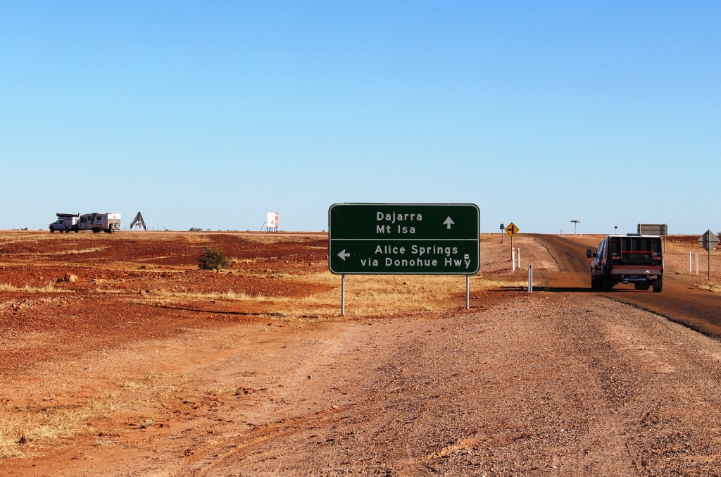
But Boulia to Mount Isa represented new fields as we had not travelled this road before.
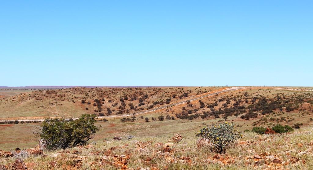
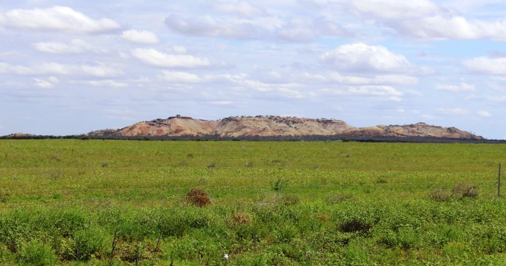
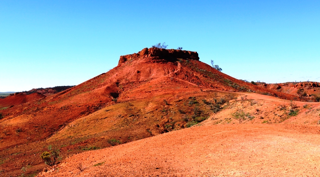
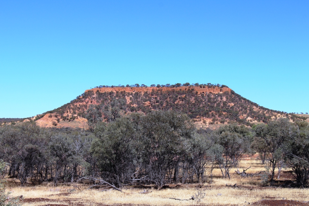
The ranges near Dajarra
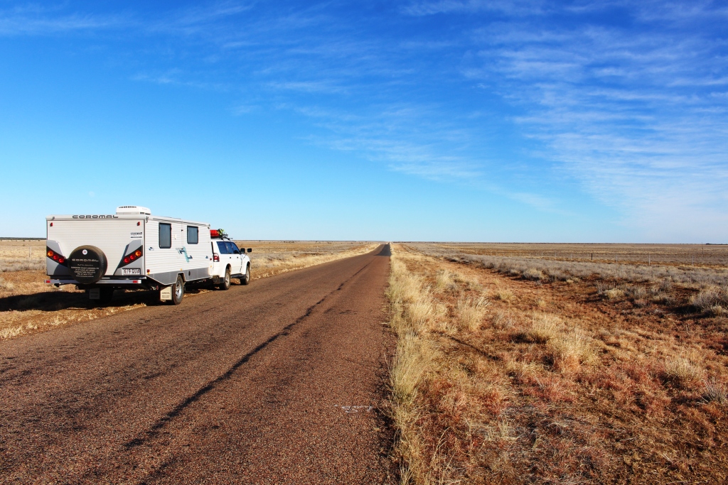
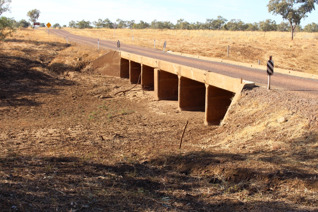
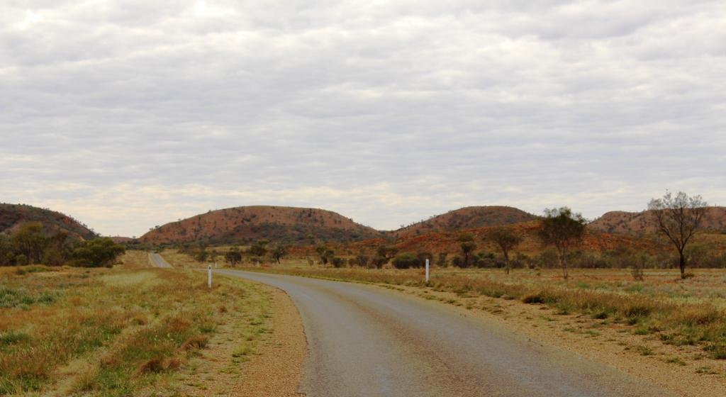
This part of the Diamantina Developmental Road can be best described as a single lane ribbon of tar punctuated periodically by wider stretches of pavement, officially named Passing Opportunities – and Dajarra. Dajarra is a predominantly Aboriginal town about 140 kilometres north of Boulia. It is situated near the only decent range of hills that is encountered on the entire journey, until nearing Mount Isa.

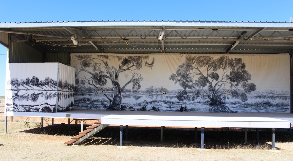
The Museum in Dajarra
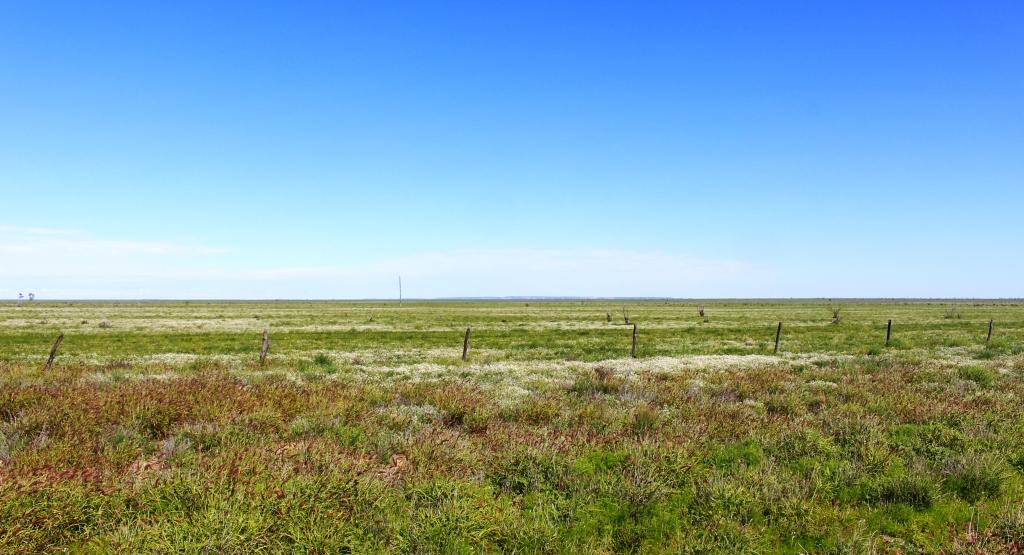
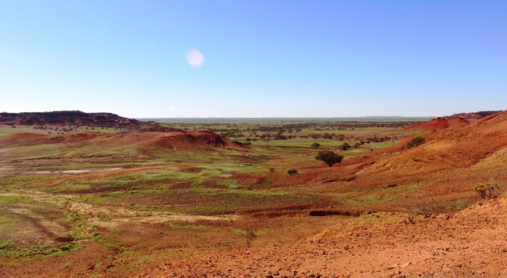
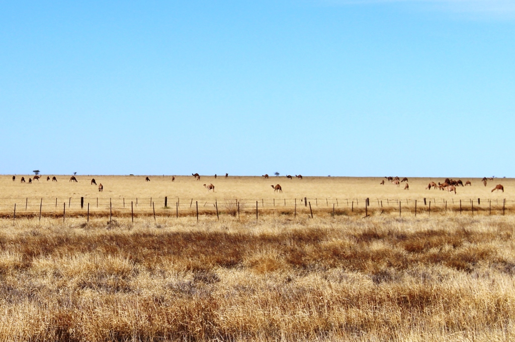
Much of the country is treeless plains of varying quality but a good portion carried good grass. Other parts are not so lush and have the appearance of not having received as much rain as pastures further south.
I mentioned in a previous post the lack of cattle grazing on the fresh grass. It appears that cattle are being trucked into the area from

Grazing lands south of Mt Isa
further north. Someone to whom I spoke suggested that the cattle were sourced from the area around Catherine in Northern Territory. We camped at a rest area about 60 kilometres north of Boulia and during late afternoon and early evening saw around 10 double deck three trailer road trains, fully loaded and heading south. Just before we reached the rest area we had seen a herd of several hundred beasts that looked to have been recently unloaded.
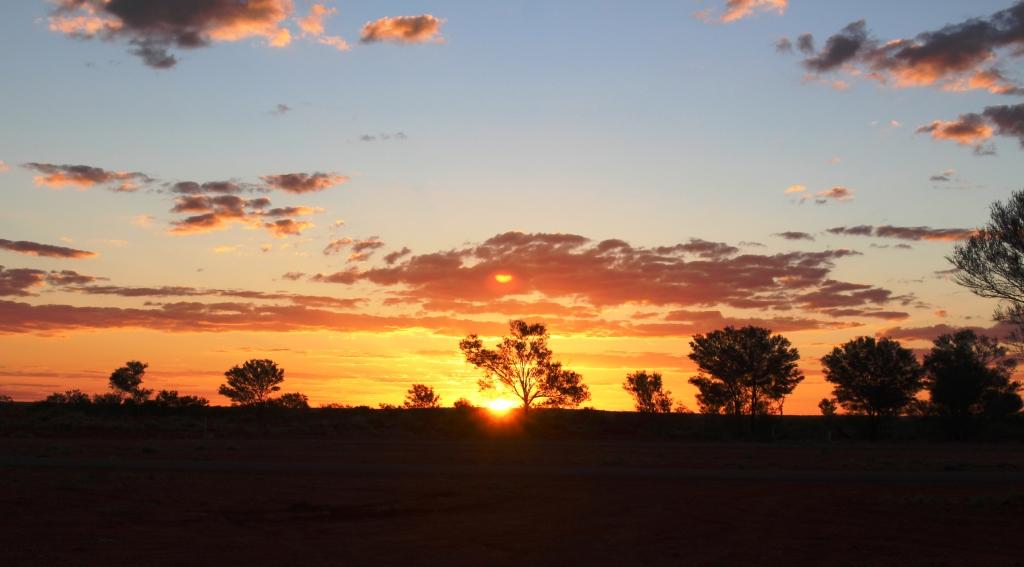
Sun sett at our Peek Creek Bore camp sight north of Boulia
This stop, at Peek Creek Bore afforded us the opportunity for a second camp fire for this trip. But the fire did not produce enough quality coals to try using the camp oven.
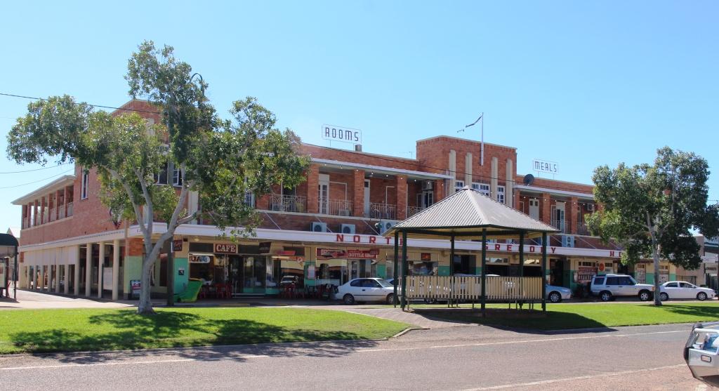
Mount Isa is a shopping and washing stop for us. We have been here at least five times so there is not much new to see. This time we approached from the south so passed not one but two power stations that we had not seen before. Mount Isa is a substantial centre dominated by the huge mine operated by Mount Isa Mines.
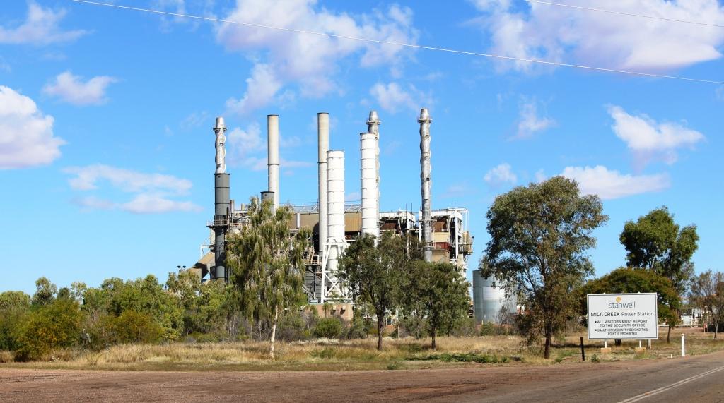
One of the power stations at Mt Isa
The stage at the Drovers Museum. Anne Kirkpatrick, daughter of Slim Dusty, will perform here during the festival
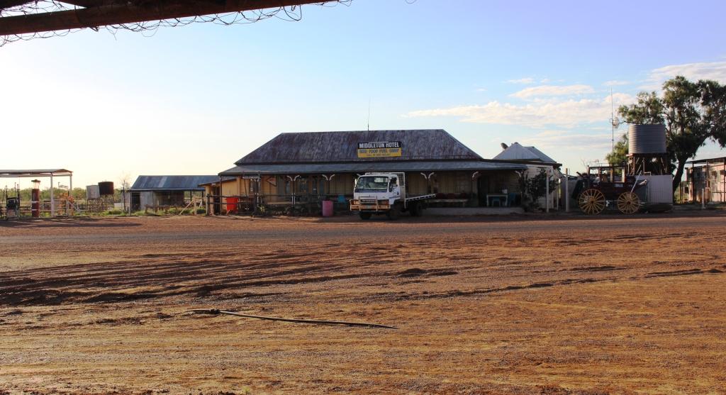
This stop over was for Friday and Saturday nights, so on Sunday morning we continued north west to the border town of Camooweal. You may recall that two of our fellow dinner guests at the remote Middleton Hotel were on their way to Camooweal to assist with preparation for the annual drovers’ festival. Camooweal has a drovers’ museum which is the base for the festival. This is where we found the folk that we met at Middleton. I had told them that we would call but they were still surprised to see us.
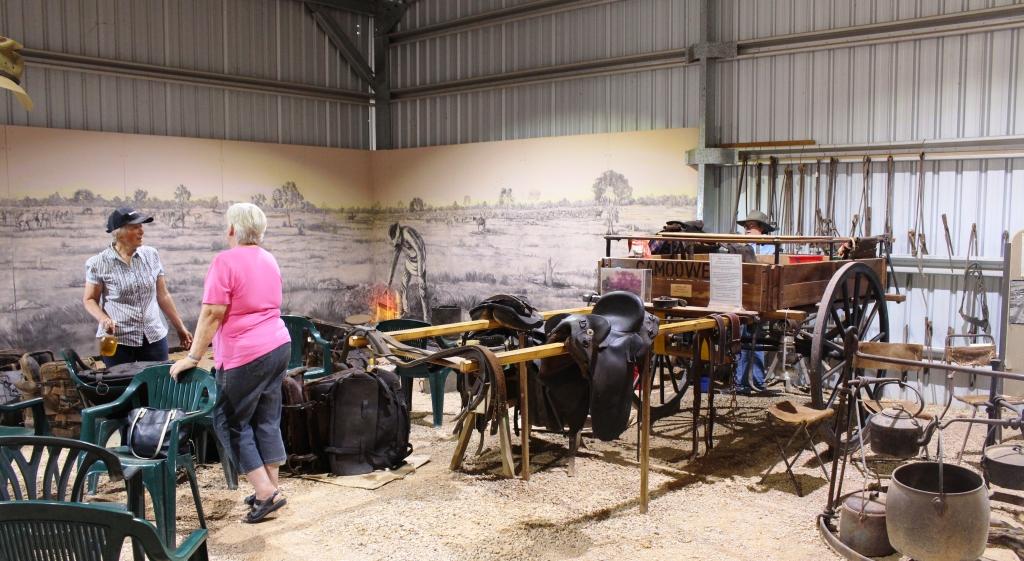
Ruth talking to our new acquaintance at the museum
The museum has the normal memorabilia but also a great deal of cattle droving related artifices, dozens of artists portraits of droving identities and several displays that tell the history of cattle droving in northern Australia. All this is supplemented by a video made of a conducted tour of the museum. We had no trouble in spending 90 minutes there before taking our leave of our new friends.

Model stock yards are used to demonstrate cattle handling techniques

Cattle grazing against the background of a grey sky
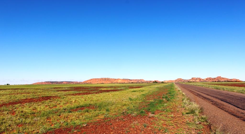
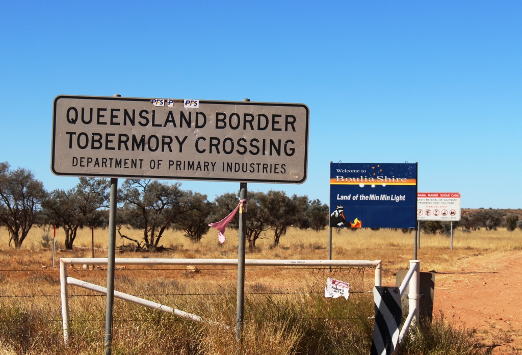
Mount Isa is in a mountainous area but is surrounded to the south, west and north by the flat sweeping plains. The pastures through which we drove are not as green as to the south as they have not had the same amount of rain. The border between Queensland and Northern Territory is a line drawn across a featureless plain that stretches to the horizon in every direction.
This is the Barkly Tableland, that covers a large part of Northern Territory and encroaches well into North West Queensland. It is prime grazing land and produces a substantial proportion of Australia’s beef.
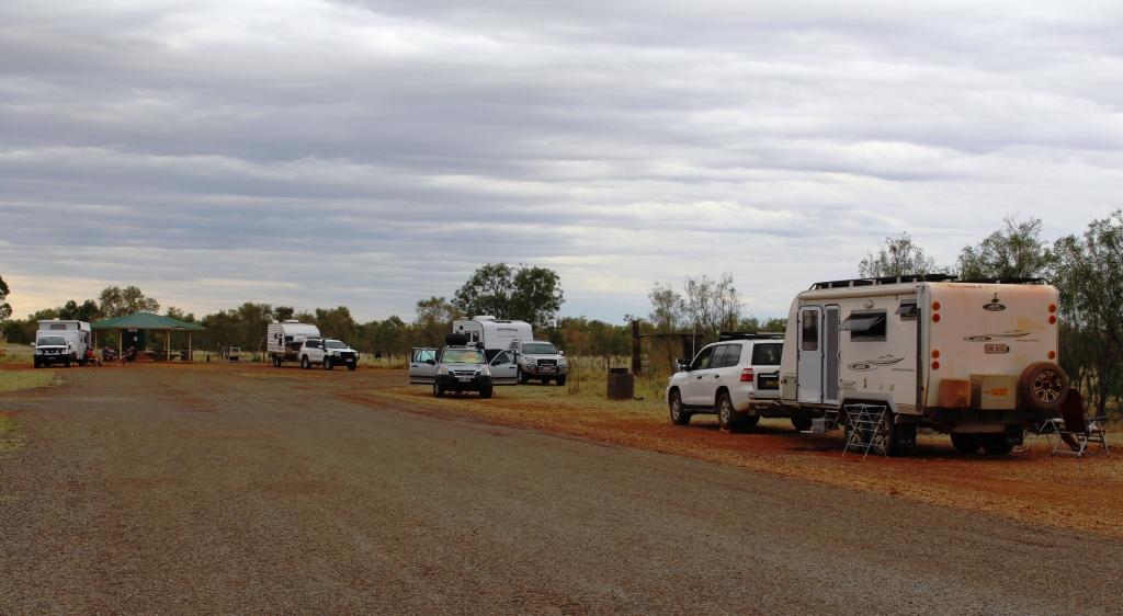
Some of our fellow campers at Avon Downs
Our journeys on this Sunday has brought is to Avon Downs Rest Area, about 60 kilometres inside the NT border. Avon Downs cattle station surrounds us and the Avon Downs police station, the first in NT, is across the road. We are sharing the space with about twenty other vans, motor yard. Occasionally another road train thunders by, but less frequently as the night passes, we hope.
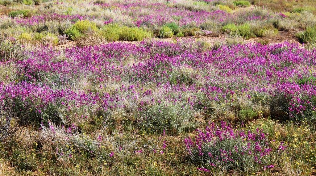
Some wild flowers along the way
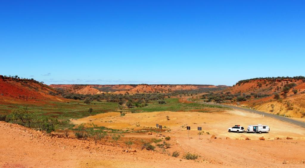
We had set an easy task for Monday (22nd August) with only 190 kilometres to get us to Barkly Homestead Roadhouse. Cloud started to build yesterday and there were some blustery winds during the night. Lots of blue sky this morning but it did not last. Grey skies soon set in. As we pulled in to the fuel pumps at Barkly Homestead rain spots appeared on the windscreen. Rain has been forecast throughout the area for about this time. We thought we might be far enough to the north to miss it, but no such luck.
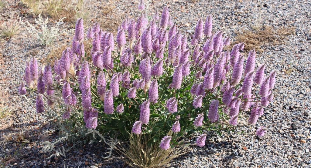
Flowers road side at Mt Isa
About the most exciting things to happen to us on the drive this morning was to be passed by two road trains. As an interest, as we have crossed this part of the Barkly Tableland, Ruth has been keeping an inventory of the traffic we met. That is, east bound traffic. I will include the details in a future post. But one comment can be made. If you remove the caravans and motor homes there is not much traffic left.
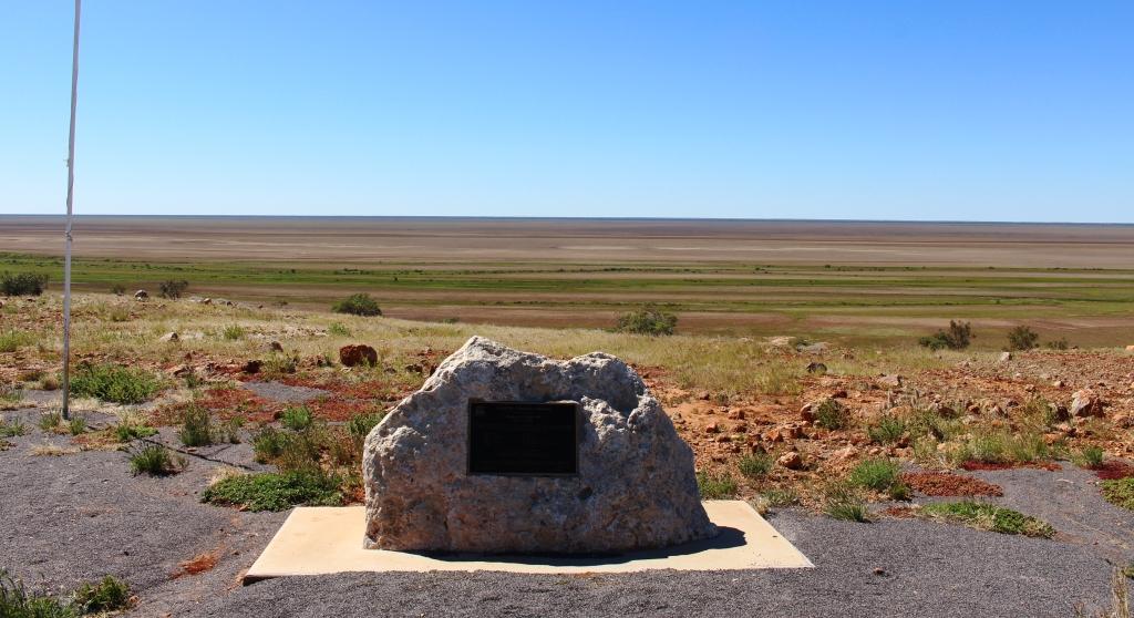
The Nine Pillars of Cobb & Co
The Nine Pillars plaque at Middleton. Under the sign on the right.
To back track a bit, during our stay at the Middleton Hotel our host pointed out to us a plaque declaring his establishment to be the Fourth Pillar of Cobb & Co. When a mail contract was awarded to Cobb & Co in 1892 the Middleton Hotel was already operating, having opened in 1876. It was soon joined by others that also became horse change stations and providers of food and overnight accommodation for coach passengers. All other hotels are gone with the only relic being the chimney of the Hamilton Hotel. That hotel, well known to locals was sighted on the Hamilton River nearer to Boulia.
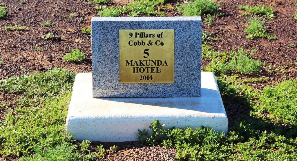
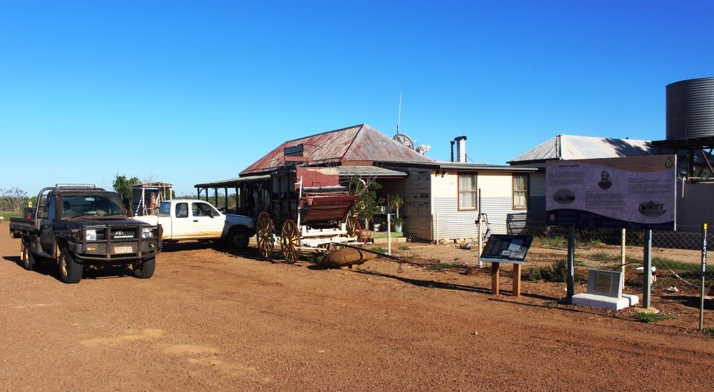
Makunda Hotel was where the coaches from Winton and Boulia met. No sign of the hotel remains.
We found some of the plaques as we drove the rest of the way to Boulia. Number 1 is in Winton and Number 9 is outside the Min Min Experience at Boulia. A brochure that gives details of the old mail run, presented as a tour, is available at information centres. It includes a return route that includes the Diamantina Lakes National Park and points of interest along the Diamantina River.