Interrupted Journey – North Queensland 2022 – Part 3

Heading for Dinosaur Country

Note: Two video links appears at the bottom of this blog post.

Please note the video link at the foot of this post to the Carnival of Flowers.

We set off on the morning of Monday 26th September to complete our Covid interrupted tour. Instead of going back to Townsville to start where we left off, we travelled inland via Toowoomba and took the opportunity to visit the Carnival of Flowers as we passed through, spending our first night at Chinchilla.

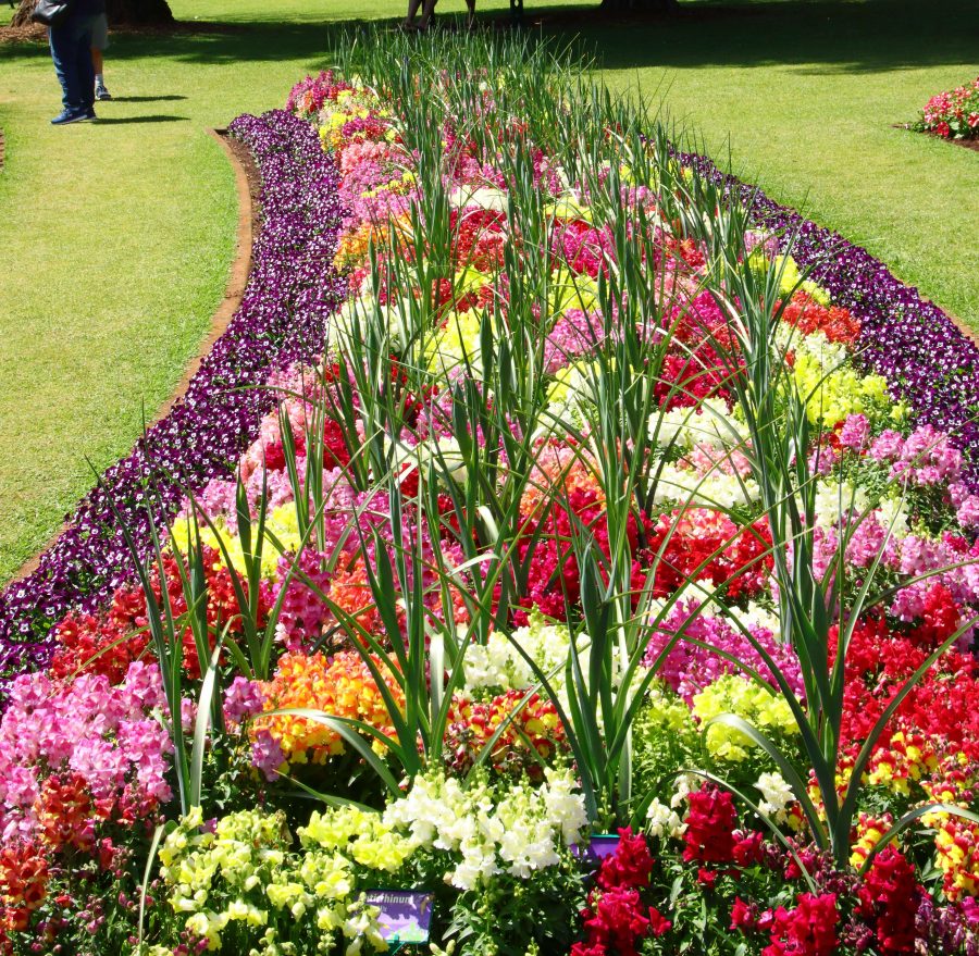
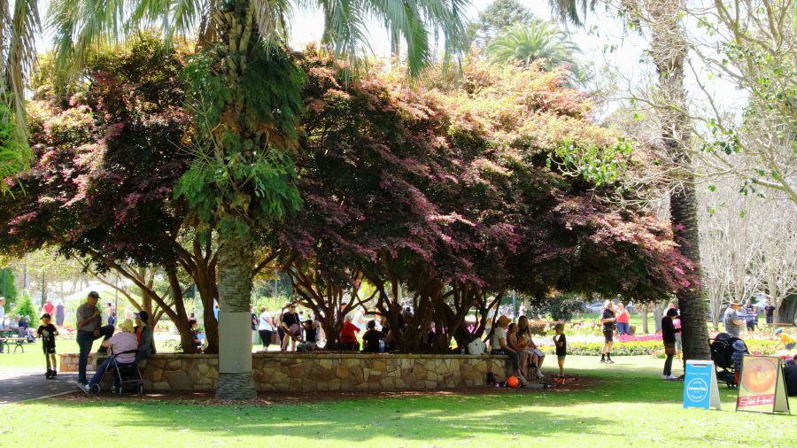
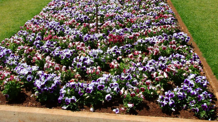
The flowers at Toowoomba were up to the normal high standard. As our visit was late in the carnival, most of the additional activities had finished. The flowers and a few food vans parked down the back was all that remained of the festive area. But we were there to see the flowers and were well satisfied with the offerings on display. The greatest challenge was to take a photo of a flower bed without an Asian tourist in the foreground having their photo taken.

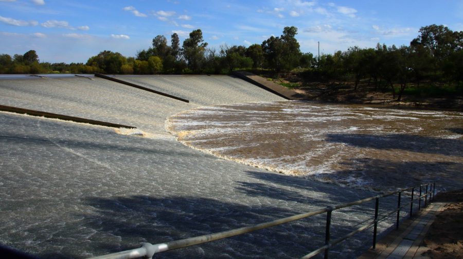
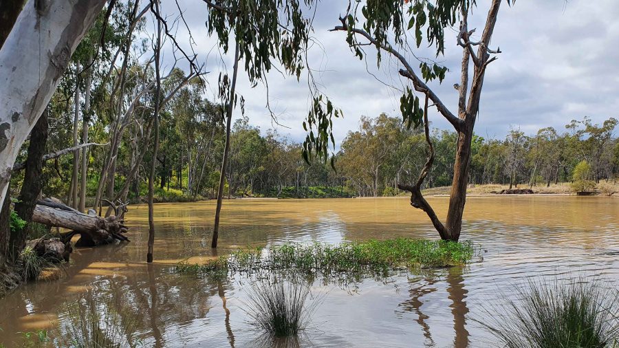
A thin sheet of water over the face of Chinchilla Weir as the water flows towards the Murray River.

We drove on to Dalby for lunch having skipped morning coffee. In planning I had identified some likely bird locations to try before reaching our overnight stop at Chinchilla. I had no luck until Chinchilla Weir where we found greatly improved camping conditions from those we remembered from our previous visit. And we found a flock of Apostle Birds. I believe these birds are so named because of their practice of flocking in groups of about a dozen. Water was cascading over the weir.

A thin sheet of water over the face of Chinchilla Weir as the water flows towards the Murray River.
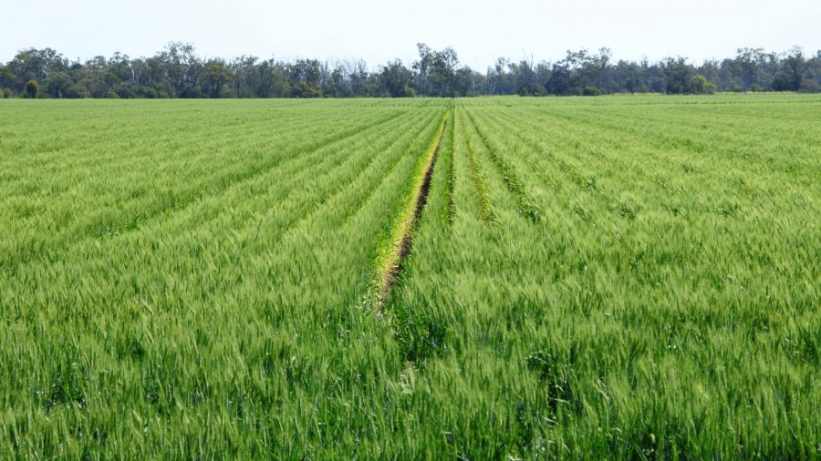
Recently germinated crops line the roadside in this part of the Darling Downs.
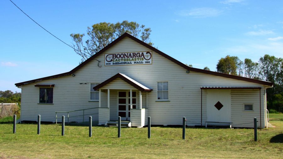
Boonagara, reached just before Chinchilla, built a public hall to commemorate success in using a grub to defeat cactus infestation.
Gil Weir is located just west of the Leichardt Highway, south of Miles

Friday saw us headed for Morven, a very small town where the Landsborough Highway branches from the Warrego Highway. It leads to Longreach as the major town in that direction. This piece of road is also known as the Matilda Way, but that is more for promotional purposes that accurate geography.

We checked for birds at Gill Weir, south of Miles and Judd’s Lagoon, south of the highway, closer to Roma. All that we found in both places was overflowing weirs and long term bush campers, most of which were in their highly equipped caravans. Rising water levels inundate water bird feeding grounds and I imagine, causes the birds paddle harder to stay in the same place. The birds are not silly. Thy go somewhere else.

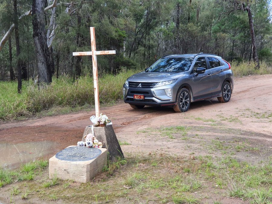
Memorial to fettlers wives near Dulacca
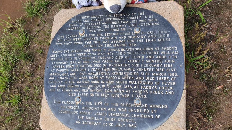
The informative plaque that is part of the memorial.

Roadside, just before Dulacca out towards Roma, we came upon a memorial to the railway fettlers and the women who supported them while building the western railway line from Miles to Dulacca in 1978-79. In those days families had to travel with their breadwinners if they wanted to see them. No FIFO in those days.

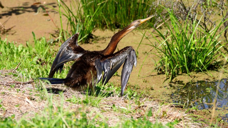
Australian Darter, drying off following a fishing session.

After morning coffee at Roma’s Big Rig, we had a look at Roma Bush Gardens, located just off the highway past the town centre. Walking around the lake was restricted by flooding but I did see some Mallards and an Australian Darter, drying its wings in the morning sunshine after fishing excursion.
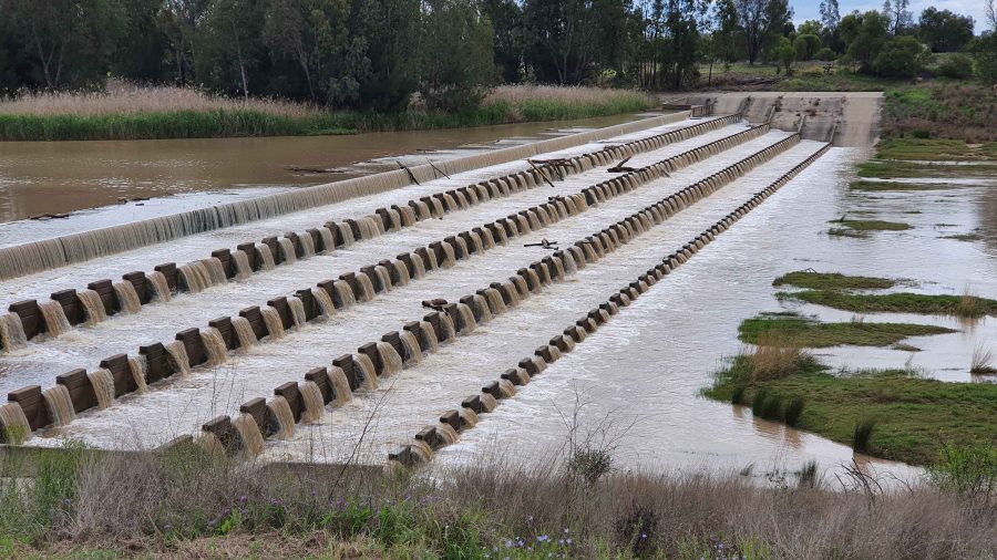
Neil Turner Weir on the Maranoa River at Mitchell was overflowing. We have not seen this in several visits.

We took our lunch break at Neil Turner Weir, a water storage on the Maranoa River near Mitchell. Mitchell is probably best known for its therapeutic artesian spars. We have used the camping area at the weir on several occasions but had not seen the dam overflowing before. It reminded us that so much of our travel through Australia’s outback occurred during the drought years.

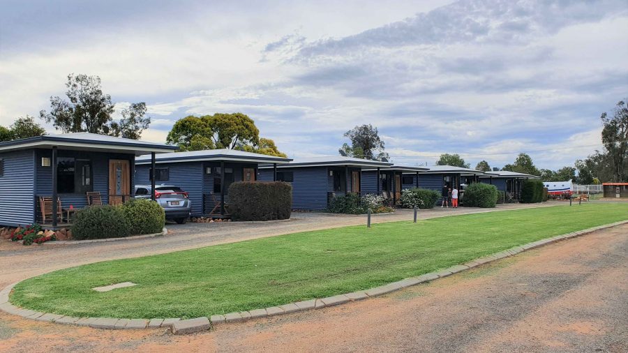
The Pick-a-Box Motel at Morven
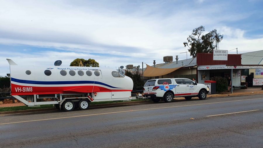
A Royal Flying Doctor Promotional Van Parked Outside The Motel.

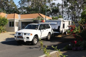
The Pick-a-Box Motel was our resting place for the night. The motel is a small group of newish iron-clad cabins near to and managed by the Morven Hotel, recently rebuilt following a fire. The only excitement in town was a Royal Flying Doctor Service caravan in the shape of an aircraft fuselage, parked in the street outside.

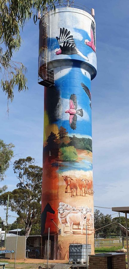
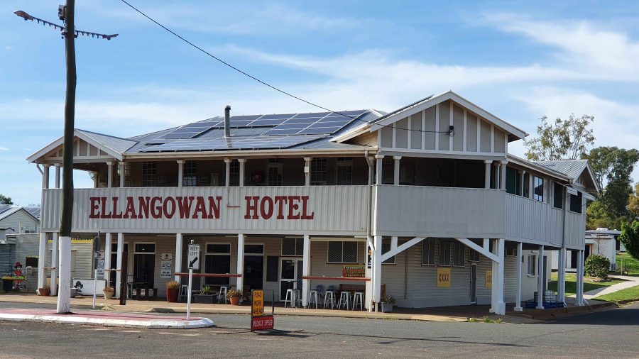
So, from Morven on Wednesday morning, we turned north-west on the Landsborough Highway. First stop was a call at the first town, Augathella, a distance of about 90 km. The town is quite old and has been supporting the local agricultural community since its founding in 1883. Like many outback towns, it has upgraded its visitor facilities for grey nomads. Artists have painted pictures on its water tower, art silo fashion.

The Ellangawan Hotel bears Augathella’s original name.
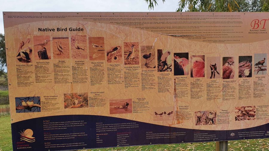
The list of local water birds at Tambo. Most on the list were conspicuous by their absence.

Next, about the same distance further north-west, we arrived at Tambo, another pioneering town (1868) with good visitor facilities. We paused for morning coffee beside the small dam at the entrance of the tow. By the lake there is an information sign providing details of the many water birds to be found in the area. There were very few on display for us, although small birds such as Noisy Miners were busy in the tree.

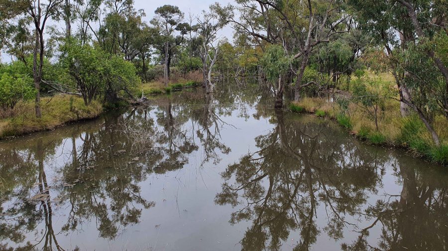
Continuing, we crossed the Barcoo River and arrived at Blackall, which was built on the banks of that stream. Major Thomas Mitchell explored this part of Australia in 1846. The town developed in the 1860s as an agricultural service centre. Again, it has good tourist facilities. It is surrounded by vast expanses of open naturally grassed pasture, as is much of this area. We had been driving through it all morning.

The Barcoo River at the Landsborough Highway crossing.
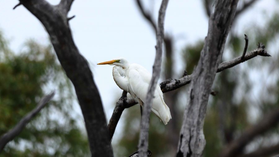
An Eastern Great Egret perched in a tree over the Barcoo River.
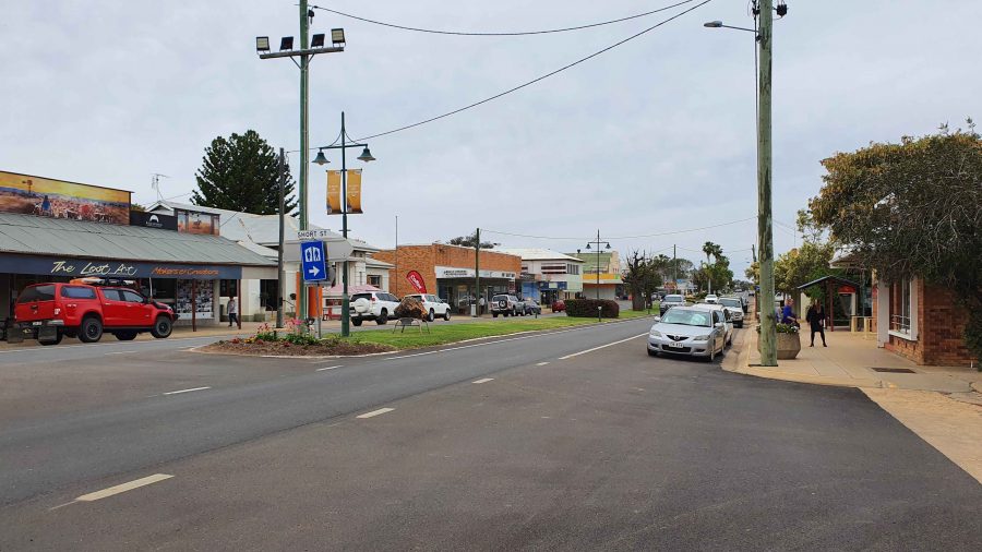
Blackall main street is the highway.
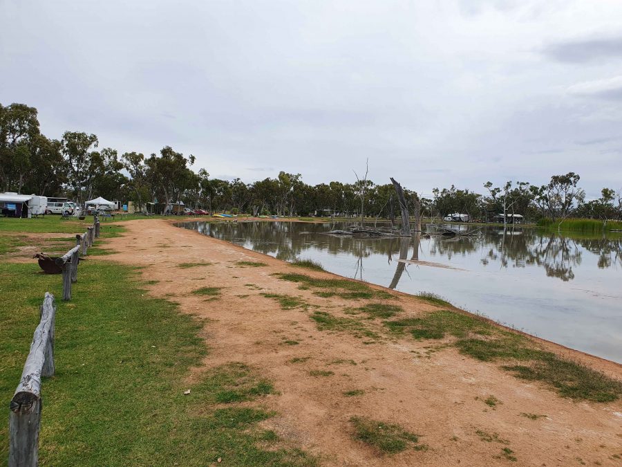
Part of the billabong and camping area at Lara Wetlands

The next town along this highway is Barcaldine, but about 45 km before that we turned off to the left and drove the 16 km of dirt station road to look at Lara Wetlands. This is a camping area that almost surrounds a large waterhole filled with dead trees, so is probably the result of a dam. Lara Station is an operating cattle station. They run the camping ground in conjunction with the station. There are reported to be 164 species of birds identified in the area. But there is no power and only one cabin. Interesting spot, all the same.

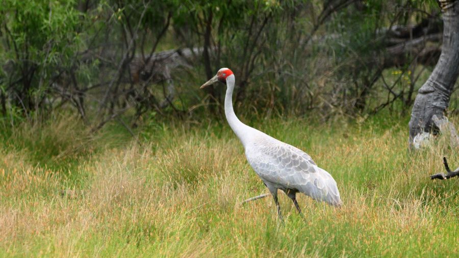
A Brolga by the road as we drove into Lara Wetlands.

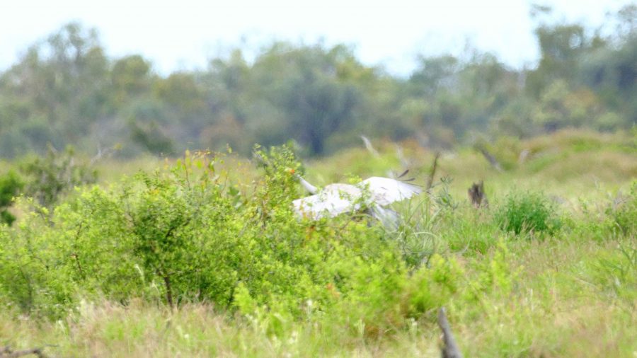
As we drove into the Lara Station, Ruth saw a large grey bird at the edge of the trees. I stopped and got some good photos of a Brolga. It was wandering up and down and seemed quite settled but as I turned back to the car, I heard the whoomp whoomp whoomp of large wings as the Brolga took to flight. I turned just in time to snap it disappearing behind some brush. Not a very good photo, sadly.

The Brolga landing in the brush by the roadside.

We refuelled at Barcaldine, paying for the first time just over $2 per litre for unleaded petrol. At Barcaldine the highway turns left and west through Ilfracombe to Longreach. Scattered cloud meant that the western sun was not too much of a problem. We had travelled quite a distance in pursuit of the setting sun since leaving Brisbane, so the days were ending quite a bit later.

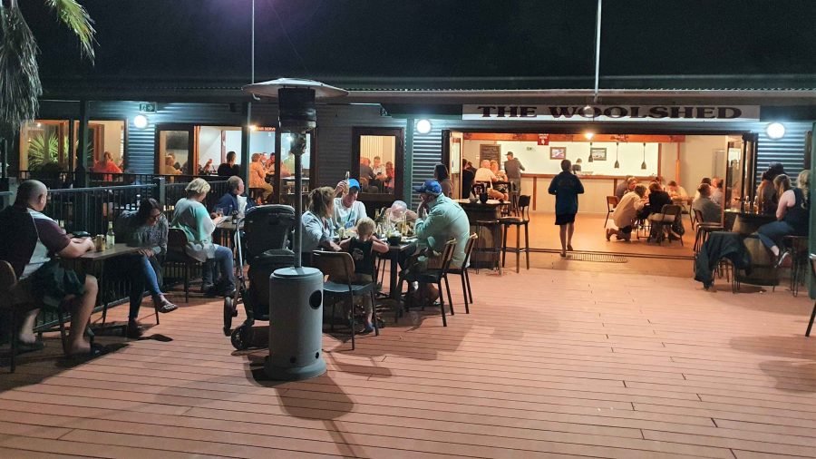
The deck at the Woolshed Restaurant at Longreach.

We were able to get a booking at the Woolshed Restaurant at Longreach Tourist Park, where we had a cabin. Last time we were here they were booked out. They were again but we had booked in time. An excellent meal even if the entertainment was a bit loud.

While at Longreach we returned to Ilfracombe and also drove south to Isisford. That drive is covered in the next blog post.

Mount Moffatt National Park

IMG_1829On the trek into Mount Moffatt, the first real point of interest is the Slab Hut, a relic of earlier days of cattle grazing in the area. But it failed to grab our attention when our six vehicle convoy stopped to inspect this example of pioneering residential stamina. Ruth opened the caravan door to find the contents of our refrigerator on the floor with the fridge door underneath. Our consternation was quickly shared by our travelling companions with the Slab Hut fading to insignificance. Some perishables were quickly moved to spare capacity in other refrigerators while we considered what to do.

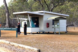
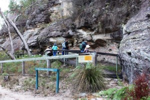
The Information Center at the Ranger Station

The Information Center at the Ranger Station

Our group leader quickly spied the problem. The door is hinged on a fixed pin at the bottom and a threaded pin at the top. The top pin had worked loose, allowing the door to fall off. Not a very good design in my view. Another member of the group produced a gleaming set of spanners and very soon the door was back in place and the food replaced. Then, following an inspection of the hut we continued on our way to our destination at the Dargonally Rock Pool camping area, within the Park.

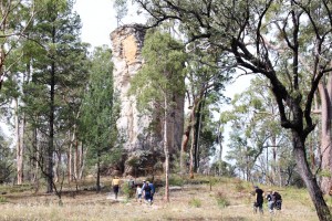
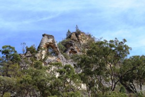
The sandstone column known as Lot's Wife.

The sandstone column known as Lot’s Wife.

The area of Central Queensland west of the Great Dividing Range hosts a series of sandstone mountain ranges. A substantial proportion of them are enclosed within the borders of the four areas that make up the Carnarvon Gorge National Park. The best known is the Carnarvon Gorge itself but, although more difficult to access, the Mount Moffat section runs a close second. The area is a plateau at around 700 meters with mountain peaks to more than 1,200 meters. The weather was quite cool at this time of the year.

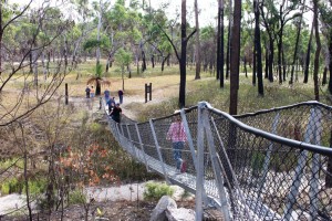
Suspension bridge on path to the Great Walk

Suspension bridge on path to the Great Walk

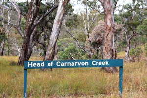
Vegetation is open bush land with some areas of denser growth and open grass land. In the north of the park, near the top of Carnarvon Gorge and the source of the Carnarvon Creek, there is an impressive stand of Mahogany trees that brought back memories of my roots in the timber areas of the Central Coast of New South Wales and my timber cutting father. I could almost hear the sound of the fall of the axe and the rasp of the crosscut saw. The Maranoa River also rises in this area.

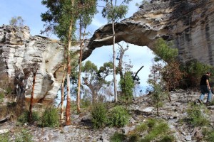
Marlong Arch

Marlong Arch

The Dargonally Rock Pool camping ground is, unsurprisingly, beside a stream that would have had rock pools with more rain, but only provided a few puddles. Fortunately the National Park authorities had provided a tap and although the water was untreated it was clean and provided a valuable backup for our drinking supply. We set up our vans, camper trailers and one tent in a rough circle around the all important camp fire.

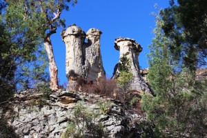
The Chimneys

The Chimneys

The camp fire was the center of social activity, as well as the main cooking medium for some. An experienced camper brought a spike that, when driven into the ground, supported a barbecue plate and a hook from which a camp fire kettle hung over the flames. The fireplace was surrounded by logs sawn in half length wise to provide seating, to which we added comfortable chairs and tables for

Viewing area at the Toombs

Viewing area at the Toombs

meals. Food preparation included use of camp ovens for those with the required skills. Dishes prepared for community consumption in these handy devices included delicious dampers and a huge apple pie.


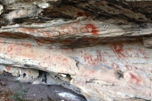
Aboriginal Art

Aboriginal Art

The park attracts visitors because of its remoteness, its physical attractions and its history. There are two areas of significant Aboriginal art and historic sites associated with bush ranger activity.

In the late Nineteenth Century the Kenniff Brothers, the last of Queensland’s bush rangers, frequented the area, pursuing their trade of cattle stealing . An offended

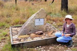
Memorial to the murdered police officer

Memorial to the murdered police officer

station owner and a police officer went into the hills to arrest them and were murdered by the brothers. To conceal the crime the Kenniff Brothers attempted to cremate the bodies. The bush rangers were ultimately brought to justice. The murder and cremation sites are marked on the map but we could only find the latter. The site, on flat rocks in the bed or a Creek, is marked by a memorial to the fallen police officer.

The Looking Glass

The Looking Glass

A six kilometer morning walk included the best of the Aboriginal art, which was similar to the art we had seen several years ago in the Carnarvon Gorge section of the park, possibly done by the same group. This walk included The Chimneys, a triple column of rock, a sort of mini Three Sisters and The Looking Glass, a rock formation high on a cliff top and where the center has weathered away forming a mirror like appearance and The Tombs, an Aboriginal burial site decorated with typical art work.

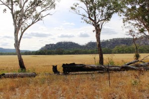
Marlong Plains

Marlong Plains

Lot’s Wife, a solitary pillar of sandstone and Marlong Arch, a narrow bridge of rock spanning a gap between two large rock outcrops were deeper into the park and we had checked them out the day before. On the final day we drove to the high country at the back of the park and while there walked 850 meters to Kookaburra Cave, the other Aboriginal art site.

The very top of Carnarvon Gorge

The very top of Carnarvon Gorge

On the final night we all gathered around the camp fire, discussing all manner of things while we waited for an apple pie to cook in a camp oven. Then with custard and cream provided by others, we finished our meal with a slice of the very delicious pie.

On Monday morning, the Queen’s Birthday holiday, we packed and, now a convoy of seven vehicles, headed out of the Park towards Mitchell, where we said our farewells over a late lunch before going our separate ways. Most turned east towards home, but Ruth and I and a lone traveler have headed west for Birdsville and parts beyond. Or at least that was the intention.

Mount Moffatt is accessed from Injune on the Carnarvon Highway or Mitchell on the Warrego Highway. Both roads are via Womblebank Station that is located where the roads meet. The distance from Injune is about 150 km and it is about 200 km from Mitchell. The last 80 km or so from either starting point is unsealed and a mixture of sand, dirt and gravel.

You ave read the story, now watch the movie.

A Different Way There … And Back – Post 2

Day 5 – 31st March 2013 – Charleville

At some point during the night I turned the air conditioner off and pulled up the doona. Rain had been falling all night. We awoke to a grey sky and weather reports that told us that it was 17C, half of yesterday’s temperature. Are we in Melbourne already?

We got a bit of a fright at lunch time. We turned on a second light and it came on very dimly. We then noticed that the lights had gone out on the refrigerator. Oh no! Not battery charger problems on a one year old van. Fortunately not!  On our short test trip to check on our electrics for bush camps I had to replace a fuse. To get at the fuse box I had to unplug the battery charger … and forgot to plug it back in. So we had been living on charge put into the battery when moving since we left home. The battery had been progressively discharging. All seems well now.

Intermittent rain fell all day so we stayed in the warmth of the van and read, including tourist information in our reading. The forecast for tomorrow is for fine weather, so we will check the place out.

I guess you don’t normally think of a town facing in a particular direction but Charleville definitely faces south, because that is where the tourist money comes from. North Queensland has a wet season and a dry season. Charleville has a “Grey Nomad” season and a “Rest of the Year” season. Charleville is on the main route that Victorians and South Australians take when starting out on The Big Lap (around Australia). Most lappers do the lap in an anticlockwise direction.

Charleville Info Centre

Charleville Information Centre

Tourist authorities have marketed the town well. The Information Centre is on the Mitchell Highway to the south of the town. Most lappers do the around Australia lap anticlockwise so will only ever approach the town from the south. Their printed material is excellent, particularly the visitors guide that they produced annually. Activities are set out in detail with times, amount of time to allow and the cost. And most things have a cost. Some have a substantial cost. Perhaps they think that grey nomads have money running out of their pockets this early in the circumnavigation.
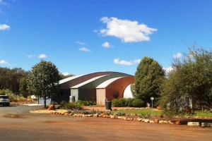
Info and Cosmos Buildings

Cosmos Centre Building

Weather permitting we will look at some of these attractions for you, and us, tomorrow.

Day 6 – 1st April, 2013 – Charleville

Yesterday’s rain was followed by a fine sunny day so, after breakfast, we set off to see the town. We started at the Information Centre, located at the southern entrance to town. It is part of the Charleville Cosmos Centre, which in turn is the jewel in Charleville’s crown. The information centre is modern, contains a very pleasant coffee shop and all the information on other relevant destinations that you could want.

The Cosmos Centre is about looking into the heavens. Charleville normally has an abundance of clear skies so is ideal for things celestial. The main event occurs at night but there are a number of simulated activities, some of them interactive, that can be used in daylight hours to cater for those who don’t get to the evening show. For those who have an interest in such matters, or first timers, it is a great opportunity see the realms beyond.

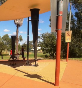
Clement Wragg's Vortex Rain Guns

Clement Wragg’s ineffective Vortex Rain Gun

From there we took a look at meteorologist Clement Wragg’s Vortex rainmaker guns that didn’t make rain and then took the Timber Walk to view samples of the trees and shrubs that grow in the area. As this was Easter Monday the town was closed but we walked the main street to get a feel for the town. All was quiet. Even the famed Hotel Corones was closed for business. The old lady is in need of much TLC but tours and after noon teas are available spasmodically now but will rev up as the southern tourists start to move through.

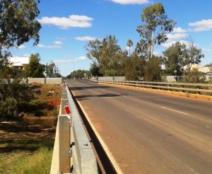
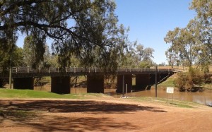
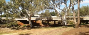
Warrego Bridge & Flood Barrier Bridge & Barrier 2

Two views of the bridge and flood barriers

Charleville floods regularly but now has a flood barrier along the banks of the Warrego River. But the town has that “what’s the use” look about it and could not be described as attractive. It is, in fact, quite down at heal.

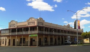
Hotel Corones

Hotel Corones looking a little tired

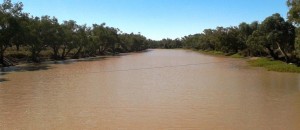
After lunch we drive 20 km out of town to look at Ward River, a local fishing location. We found a body of water larger than the Warrego with fisher folk doing their thing.

Ward River

Broad waters of Ward River

Ward River Fisher Folk

Fishing in the shade

When we came back to the park at lunch time, a sandwich board at the gate proclaimed a camp oven dinner to be available that evening, so we booked. The operators erected a marquee under which they set up metal open fire containers for cooking and ambiance. Attendees were required to bring a chair, plate, bowl and cutlery. The main meal was a large ladle of mashed potatoes covered with an even larger ladle of excellent beef stew with Johnny cakes made of damper mixture. Dessert was apple crumble with custard followed by genuine billy tea. Great meal and we met some great people.

Day 7 – 2nd April – Charleville to Mitchell – 181 km

With only about 180 km back to Mitchell we were able to make a leisurely start and cruised sedately along a road that we had almost to ourselves. The high point was refuelling at Morven.

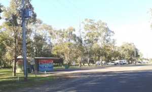
Neil Turner Weir camp area

Neil Turner Weir camping area

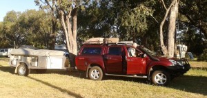
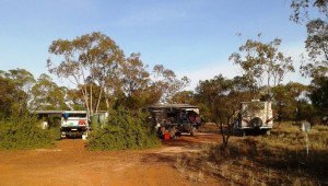
We located the free camp site at Neil Turner Weir and were set up in time for lunch. About an hour later Bruce and Annie arrived. We met this couple at St George last year. They would have been in the Mount Moffatt group but they are off on a four month trip to NT and The Kimberly. We have kept in touch but our paths crossing here gave an opportunity to catch up physically. We examined their new and well fitted Isuzu D-MAX Ute, had dinner and a chat around the camp fire and turned in with almost total darkness and near complete silence. There were probably twenty or so other campers there, but they were all quite as mice.

Early Morning Departure

An early morning departure

Day 8 – 3rd April – Mitchell to St George – 283 km

Our original path from Mitchell was directly to St George but problems with the Wi-Fi function on our wireless broadband modem dictated that we return to Roma, as that is the only town in which we would find a Telstra shop. So, armed with a new 4G Wi-Fi modem that would fit in your pocket, we headed to St. George via Surat. The country is similar to that between Roma and Mitchell but flatter.

Surat, a name familiar to many from the Surat Basin gas fields, sits on the high bank of the Maranoa River from where its citizens can watch the fairly frequent floods. At the bridge plaques show photos of the river in flood with the tops of the street lights at waist height above the water.

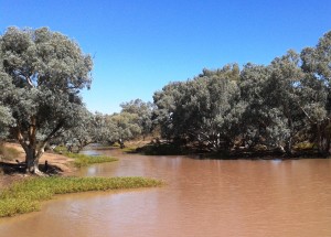
Warrego River not in flood

An unflooded Maranoa River

We spent the night at the Pelican Rest Caravan Park at St George with not a pelican in sight.

Day 9 – 4th April – St George to Lightning Ridge – 230 km

The destination at day’s end was Lightning Ridge to call on another couple that we had met at St George last year and then called on at Lightning Ridge a few days later as we travelled south. Trevor and Margaret live near Murwillumbah in northern NSW but have a family cabin on an old opal mining lease that has been converted to a residential lease. It is in the scrub surrounded by the evidence of opal mining.

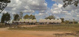
St George is Cotton Central. The harvest is in full swing and the roadside is scattered with the whisps of cotton that blow off as the journey is made to the cotton gin. Trucks like the one below are frequent company on the road.

Cotton bales

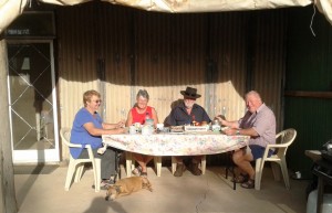
We parked our van in the yard beside their camper and that of Margaret’s brother and his wife (another Margaret) with whom they were travelling. They were only there for a few days so we were lucky that our passing through coincided with their brief stay. A bar-be-cue meal was followed by yet another talk session around a camp fire. Trevor and Margaret, together with the brother and wife, visited the most remote parts of the Kimberly last year, so there was much travel talk to be enjoyed.

Parked at Lightning Ridge

Parked at Lightning Ridge

Our hosts at breakfast

Our hosts at breakfast

Then, another very dark and quite night, but a night that seemed long to this early waking bloggist. Our crossing into NSW the day before meant that the sun did not rise until an hour later. Why can’t these people in the south keep normal time?

Day 10 – 5th April – Lightning Ridge to Dubbo – 357 Km

Today was just a straight forward run from Lightning Ridge to Dubbo. Talk about flat country! From the Central Highlands of Queensland (where we were supposed to be at Mount Moffatt) to the Great Dividing Range north of Melbourne the country hardly hosts a decent hill let alone a mountain.

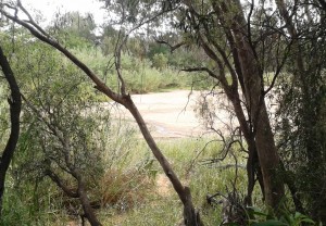
Castlereagh River

A sandy Castlereagh River

From Walgett we followed the Castlereagh River through Coonamble and Gulargambone (I love that name) with the source of the river in the Warrumbungle Ranges to our left as we approached Dubbo. The Warrumbungle Ranges are quite an impressive sight up close but from a distance they appeared to be almost cowered by the vastness of the gently rising plain. The area is known as the North West Slopes and Plains. An aptly descriptive name!

In the caravan park in Dubbo they placed our modest van between two huge fifth wheelers. They must be trying to stop us getting too big for our boots!