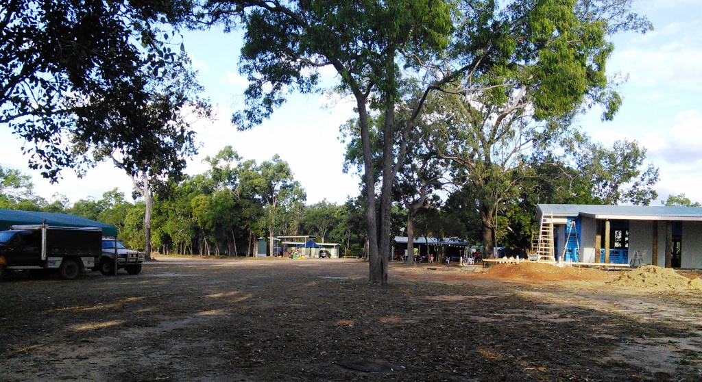
Weipa is primarily a mining town with some tourist activity. Many who come here have fishing as their main objective but most visitors seem to include Weipa as a logical part of the Cape York experience. The town has a population of about 3,500, most of who work for Rio Tinto or are in businesses that support the bauxite operations.

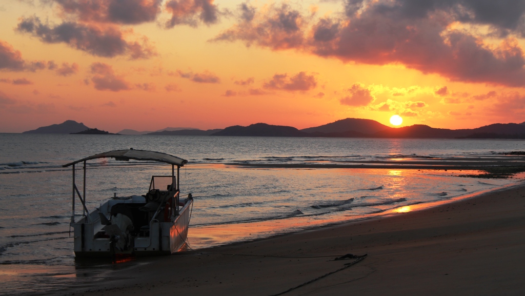
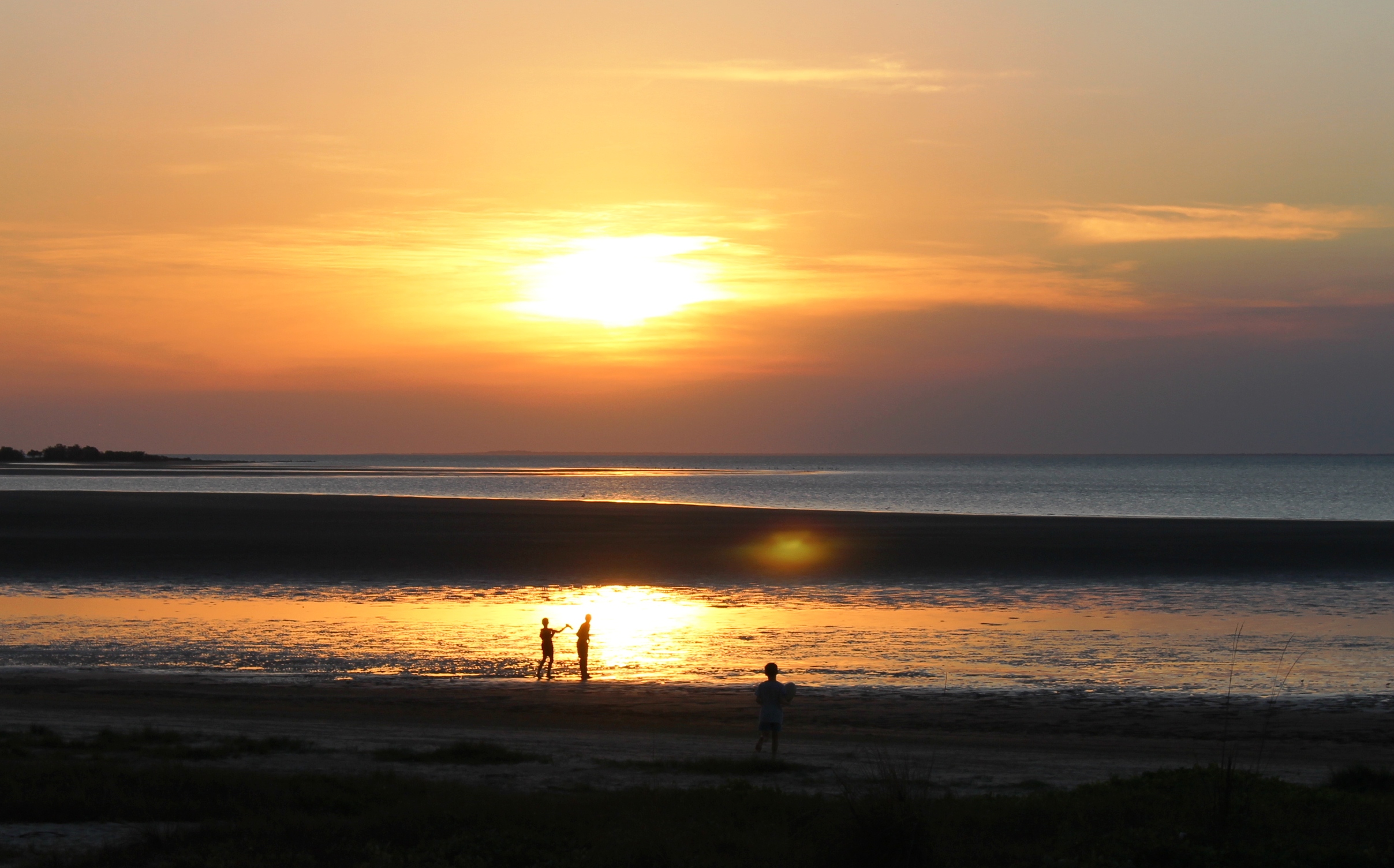
Sunset over the beach at Weipa Caravan Park
The tourist season lasts for only about half of the year so I don’t know what tourist industry employees do for the rest of the year. Fishing charters probably have a longer season.
Dutchman William Janszoon sailed along the coast off what is now Weipa in 1606. The first recorded Englishman to sail the same coast was Matthew Flinders in 1802.
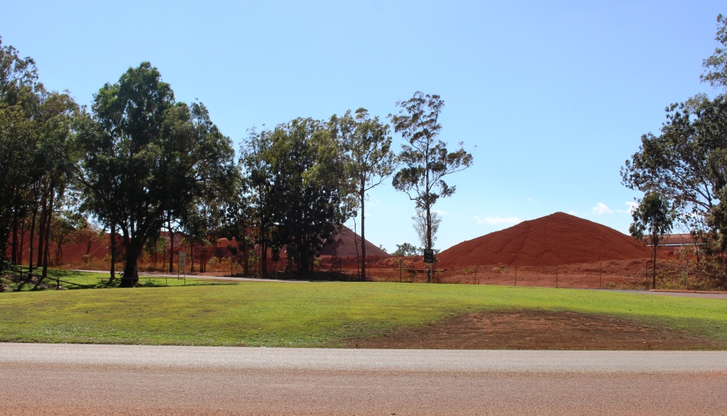
Bauxite stock piles
Flinders noted the red cliffs in the area. In 1955 geologist Henry Evans discovered that the red cliffs previously reported were metal grade bauxite, the raw material from which alumina and then aluminium are made. Serious mining and town development started in 1967.
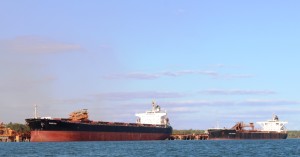
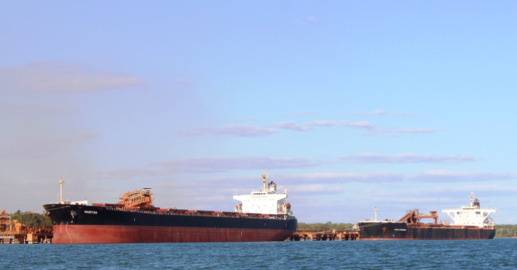
A bauxite bulk carrier destined for a foreign port
Ships of up to 86 thousand tonnes come to the Port of Weipa and carry away about 26 million tonnes of bauxite each year. Mining is expected to continue for another 60 years, at least.
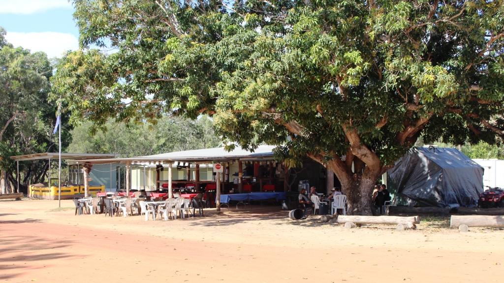
After resting up for a couple of days we stirred ourselves sufficiently to look around. The commercial centre was within walking distance
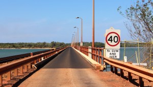
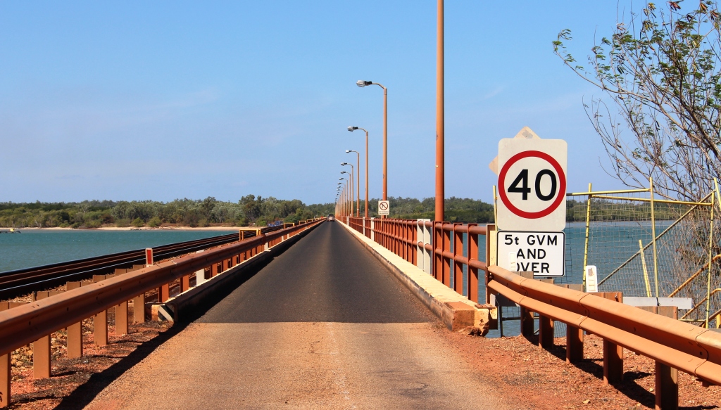
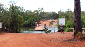
The long single lane bridge on the road to the North of the town
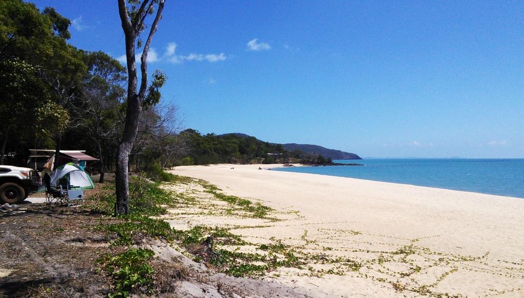
of the caravan park with the greater part of the residential area sprawling to the north. We checked out the water front areas and the bauxite shipping facilities. The harbor is extensive and calm with good beaches but they are largely deserted. The waterways are home to crocodiles.
We joined a sunset cruise on our last evening in Weipa. Departing at
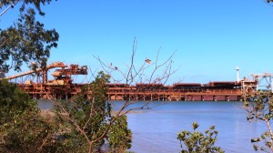
A bulk carrier loading at the Weipa wharf
4.00 pm, we cruised past the bauxite loading area while listening to an extremely articulate and humorous Aboriginal guide. We then turned for the other side of the harbour and entered a broad creek in search of crocodiles. The total score was one croc sunning itself and one brief glimpse of a head, but that kept everyone happy. The bonus was that the 2.5 metre croc that we saw on a sand bank on our way up the creek was still there when we came back.
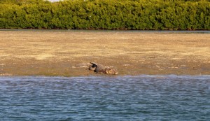
The only crocodile that we saw in the whole trip
After drinks had been served we cruised into the open bay to watch the sun set into the ocean. A mix of cloud and smoke from burning off operations ensured a satisfactory result. We returned to land just before darkness set in.
The guide gave us what I thought was a balanced commentary on Indigenous matters. He was a
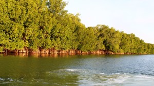
Mangroves are crocodile habitat
strong believer in education and self sufficiency. One thing I found interesting was that in the Northern Cape, Aborigines don’t play the didgeridoo. No one seems to know why.
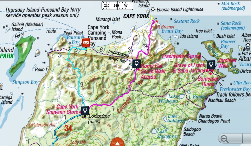
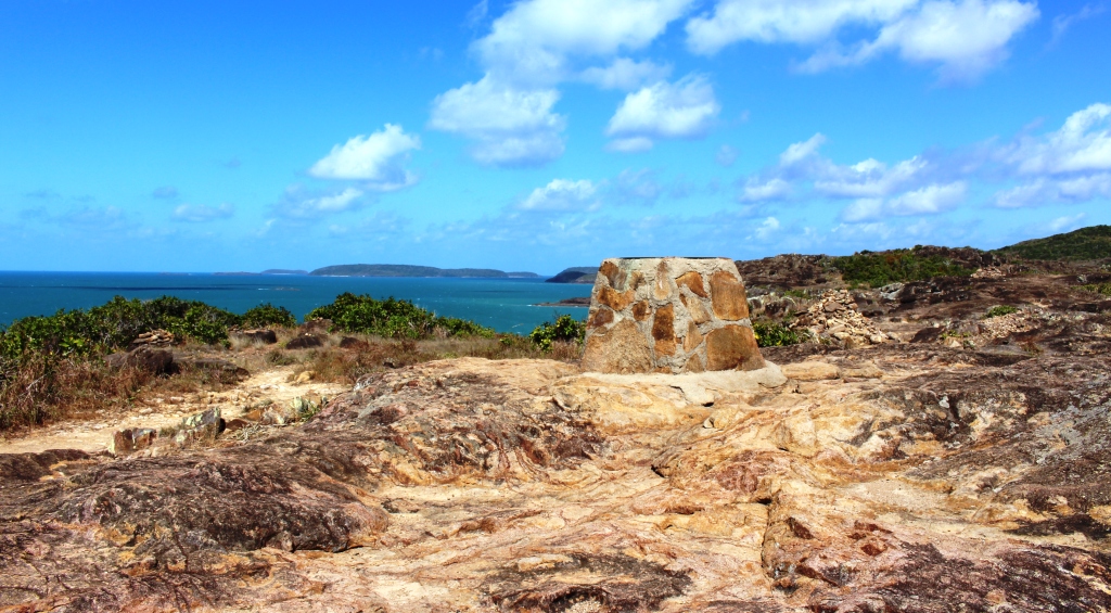
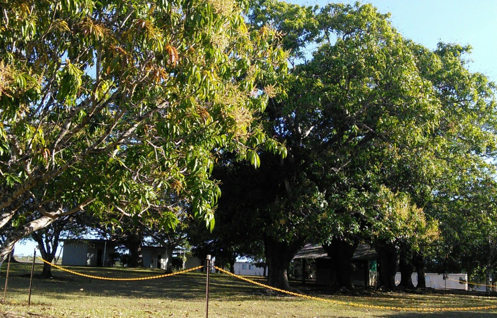
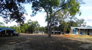
We had only a short drive on the day of our departure from Weipa. One hundred km or so back towards the intersection of Old Telegraph Track (Bamaga Road) and The Peninsula Developmental Road brought us to Merluna Station. Like many cattle stations, the Merluna homestead is a sprawl of assorted buildings to which has been

Accommodation under the shady Mango trees
added a range of accommodation options, all under or near a grove of huge mango trees. The property is owned and managed by Cameron and Michelle McLean. Cameron is a descendant of the early Scottish settlers in North Queensland and has a Scottish heritage that seems to almost go back to the times of Bonnie Prince Charlie, although his forebears come from Mull and not Skye.
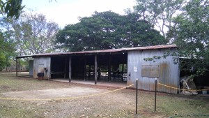
A machinery shed has become a camp kitchen
Once again we didn’t do much after our arrival but did have quite lengthy separate discussions with both Cameron and Michelle. They are delightful people. They offer an evening meal as an option, so we joined them as paying guests for dinner. We shared the meal with the three grader operators who were grading the road that we had driven on that morning. Merluna provides accommodation to road workers and other contractors when they are working in the area.
Merluna Station runs about one thousand head of cattle with markets accessed through sale yards at Mareeba or the meat works at Townsville. They are not within the catchment area for live cattle export.
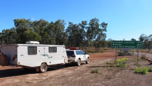
Parked at the start of the Bamaga Road which follows the route of the Old Telegraph Track
The night spent at Merluna was to break up the journey. Our next stop at Bramwell Station was for the same reason. It was in the right place, just another 160 km along the road and the main accommodation venue before the final run to the Jardine River and Bamaga. There is not much accommodation suitable for travelers like us for the next 200 km. Most people who are not towing and many with camper trailers will take the option of the Old Telegraph Track to go north from Bramwell Junction, which is only a few km away and on the same cattle station. The OTT is not maintained
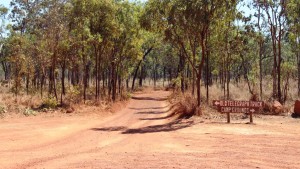
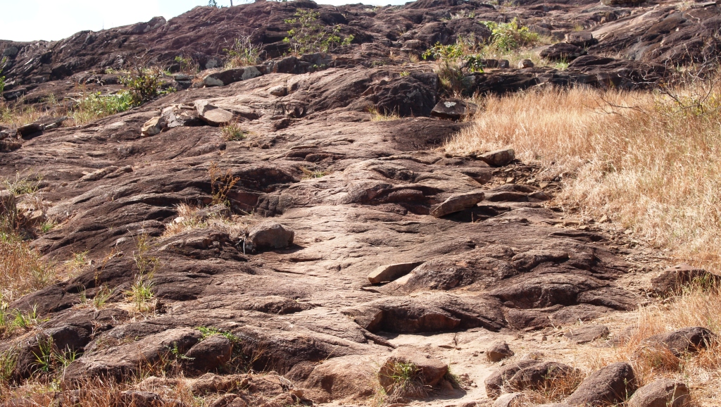
The start of the Old Telegraph Track
and has several stream crossings which are challenging to drivers and threatening to their vehicles. But dedicated 4WD types just can’t resist it.
But we resisted it and took the longer but faster bypass road that runs to the east of the OTT, then cuts across it and runs to the west until the Jardine ferry is reached.
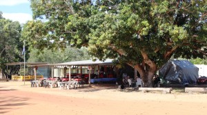
The bistro at Bramwell Station
Bramwell Station has developed a good quality tourist camp about 6 km off the main road. It offers a range of accommodation options, including a restaurant/bar with live (and loud) music each night of the tourist season. Most importantly there are good quality facilities with great hot showers. The main downside is that the resort manager gives a station talk before the music starts. The talk is
The old bistro and a new restaurant under construction.
broadcast at full volume so everyone in the campground hears it, weather they want to or not, and he goes on and on. I think you call it a captive audience.
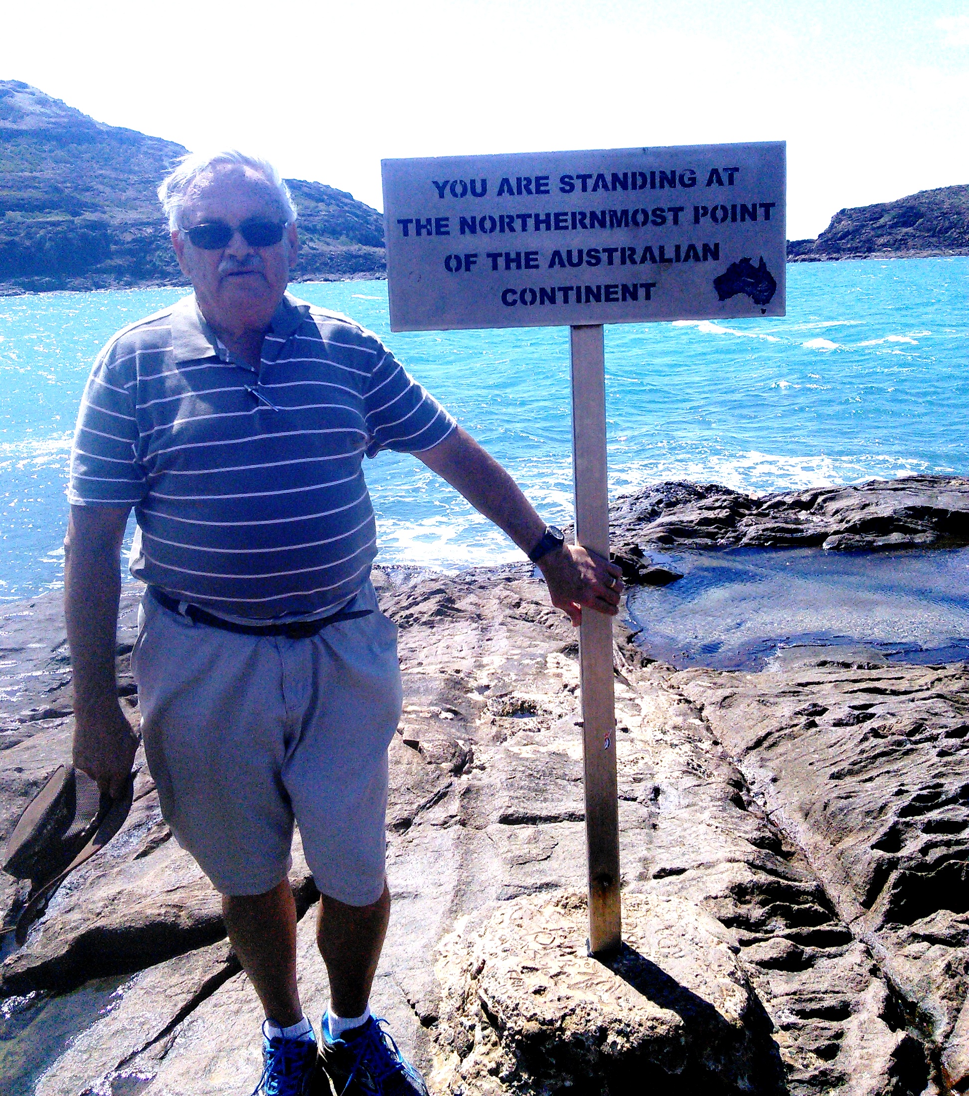
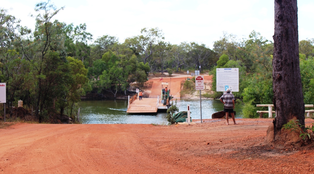
 It is 163 km from Bramwell Junction to the Jardine River, a further 45 to Bamaga and 26 km to Punsand Bay. That made a planned day of 234 km but we had 13 km to do before reaching Bramwell Junction and we took a longer road to Bamaga, so our tracker put the total at 260 km for the day. The first 150 was quite good, with a long recently constructed section of dirt and an even longer sealed section. But
A rather dirty van
about 10 km before the Jardine River and about half the run into Bamaga, the conditions suddenly changed to deep and confused corrugations that defied driving. For some of the distance refuge was available by driving in the table drain or crawling forward at 10 kph. But we finally made it to Bamaga and then Punsand Bay in quite good order and condition. But with a dirty car and a very dirty van.