Day 8
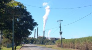
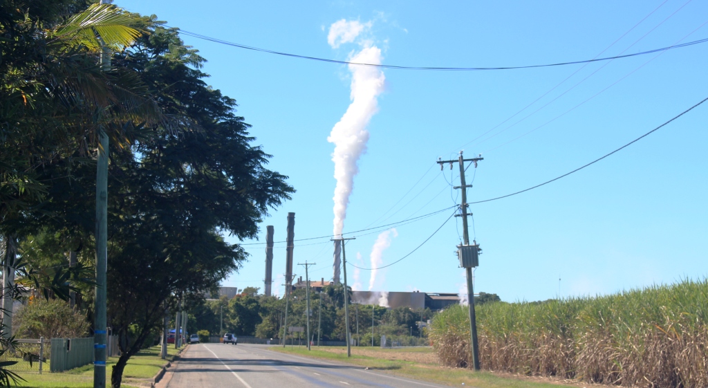
Steam rising almost vertically on a still morning as we passed Marian sugar mill
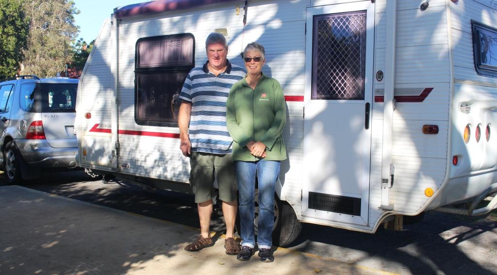
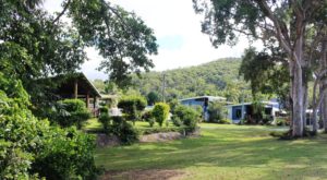
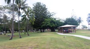
Moving on to Mackay was the main item on the day’s agenda. We drove the 70 km or so to Mackay, turning north at Marian to the Bruce Highway and approaching Mackay from the north. The morning was clear with almost no breeze. We quickly settled into the Andergrove Van Park. We have been here before so know our way around.
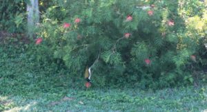
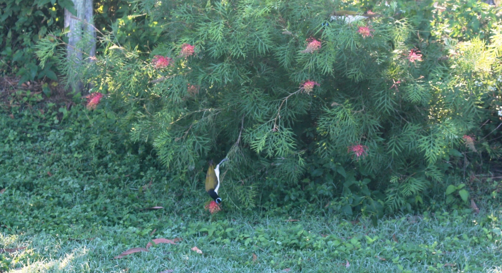
Birds feeding near our caravan
We arrived just before midday, set up the van and had lunch. But there were delays while we chatted with a West Australian couple, of about our vintage, who arrived at the neighboring site, as we were setting up.
Then to chores that needed our attention, so washing and a trip to the shops completed the day.
Day 9
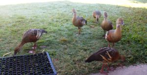
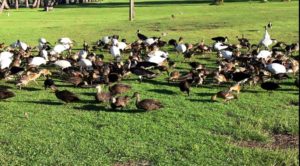
We were visited by a group of ducks
Last night Ruth encountered some problems with access to the Internet, with her computer and pad, while trying to connect to the Internet through the mobile hot spot facility of her mobile phone. So first order of the day was to get it sorted. A young technician at the nearest Telstra shop solved the problem in about two minutes, but there was a bit of a wait for his services, so we did not return to the van until lunch time.
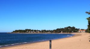
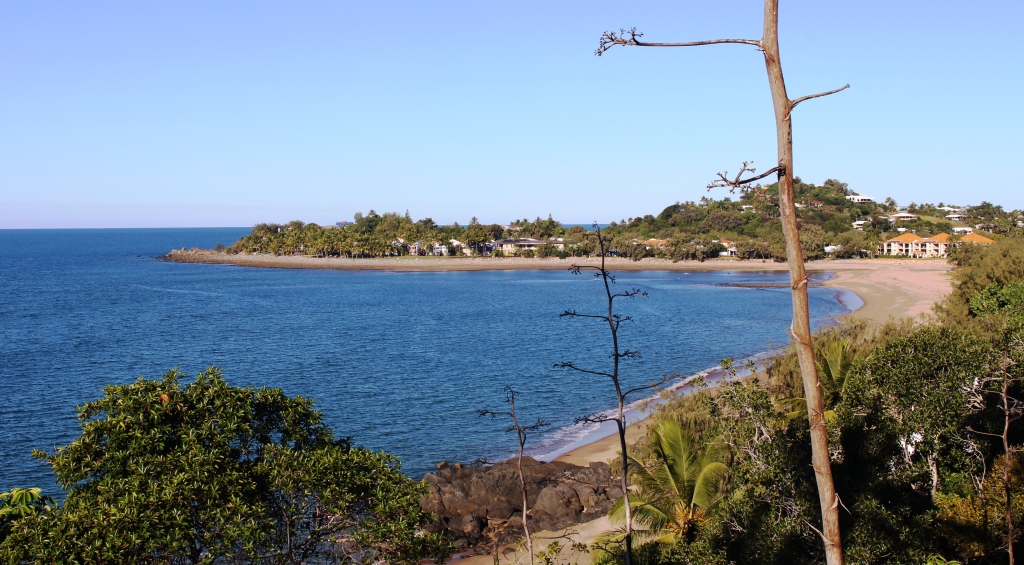
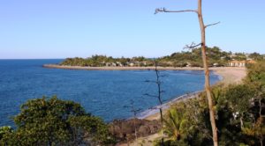
Sunset Beach at Shoal Point
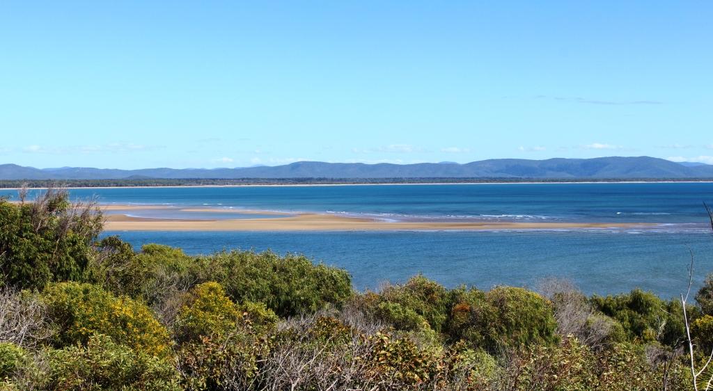
After lunch we went for a drive to the near northern beaches. I love this part of Queensland and could easily live here. Three promontories point northward into the Coral Sea, giving ocean views to the north and to a certain extent, to the west. Each has elevated terrain at their northern extremities and locals have taken full advantage of high ground when building their homes.
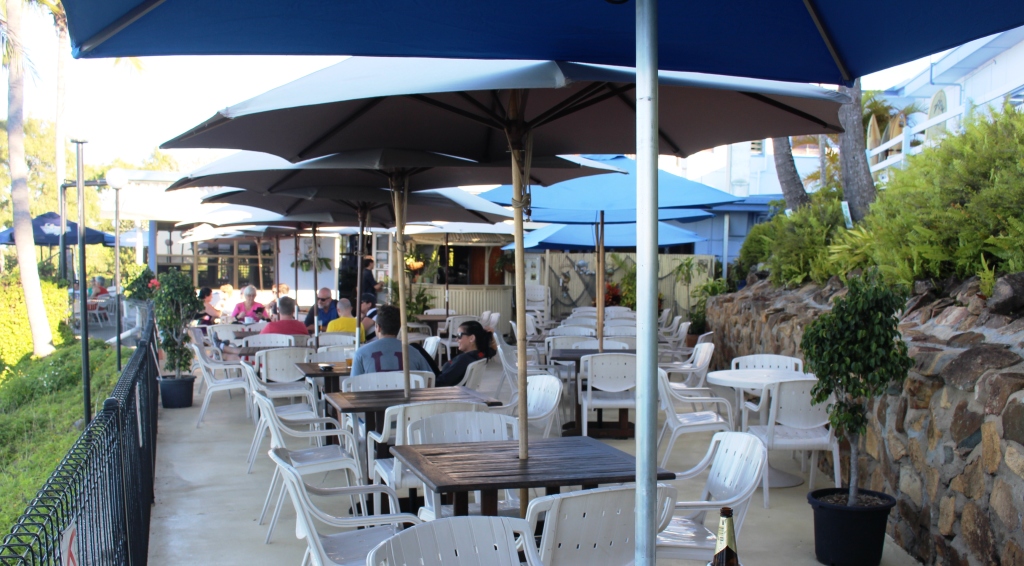
Dolphin Heads from the deck at the Eimeo Hotel
We started at Shoal Point, which is furthest from Andergrove, and returned through Bucasia, Eimeo, Dolphin Heads and Blacks Beach. We called at the Eimeo Pacific Hotel for Devonshire Tea. The hotel is a beautiful old building, situated at the top of a hill at the most northern point of the promontory. It has an extensive deck with umbrella shaded tables. Views are over neighboring Dolphin Point including the Dolphin Point Resort and to the not very distant outlining islands, that are part of an island chain that runs all the way to the Whitsunday Islands.

Eimeo Hotel deck
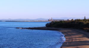
Lamberts Beach and Mackay Harbor
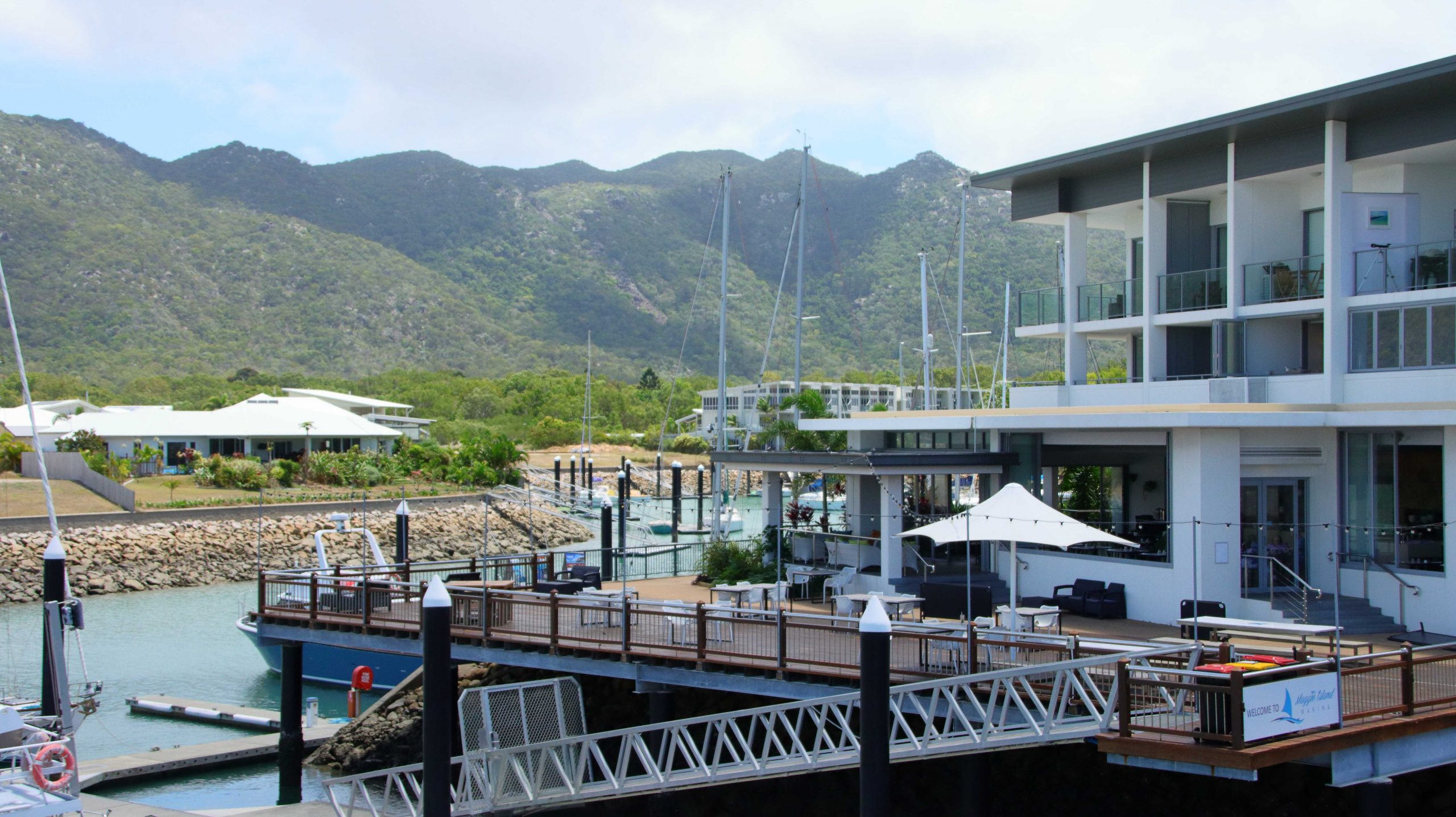
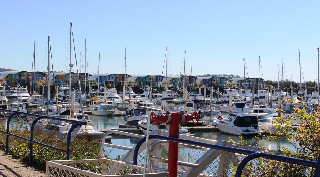
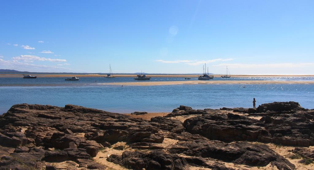
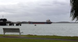
We returned back south and past our caravan park to drive in the other direction to Slade Point. At the tip of the point is a car accessible observation point that provides panoramic views of Mackay Harbor and the marina with its village of high rise apartments and hotels. In the distance, to the south and east, views are to be had of the twin coal loading facilities of Hay Point and Dalrymple Bay, with their cluster of loading ships and the armada of waiting empty bulk carriers out to sea.
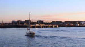
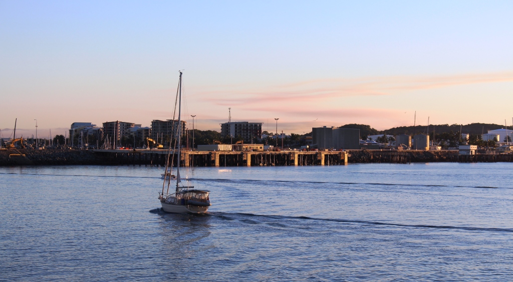
A yacht entering Mackay Harbor
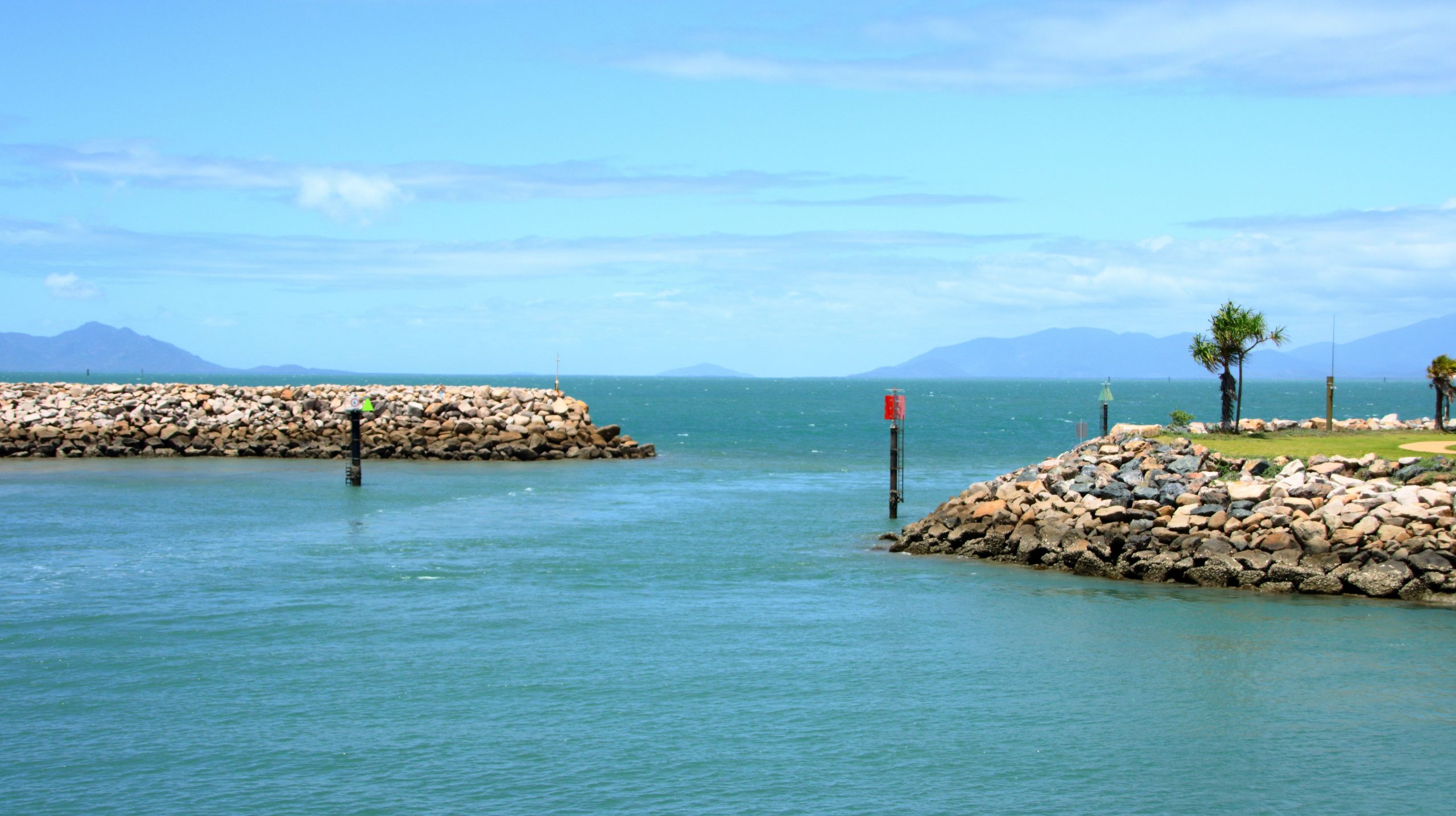
We finished the day by driving out to the end of the harbor breakwater. The parking area there gives another view of the coal loader and waiting ships plus a view of the harbor facilities. At that time of day they were silhouetted against the setting sun. About 25 years ago I had close commercial involvement in this part of Queensland. It was fascinating to see the development that has occurred during the last quarter of a century.
Day 10
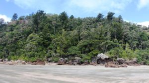
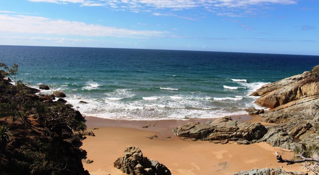
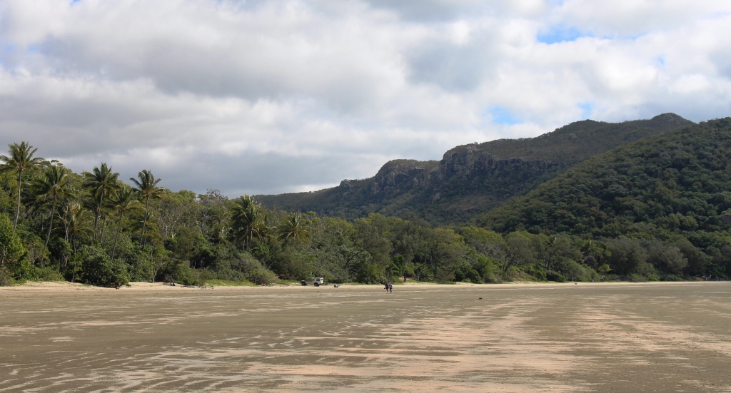
Beach at Cape Hillsborough
Today we did a tour of the more distant beach locations north of Mackay. We repeated the first few kilometres of yesterday’s trip but then cut across through the small town of Habana to the Cape Hillsborough road. The drive was through more cane fields in an area of undulating terrain where each hill top seemed to be crowned by a house.
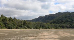
Mountains behind the beach on Cape Hillsborough
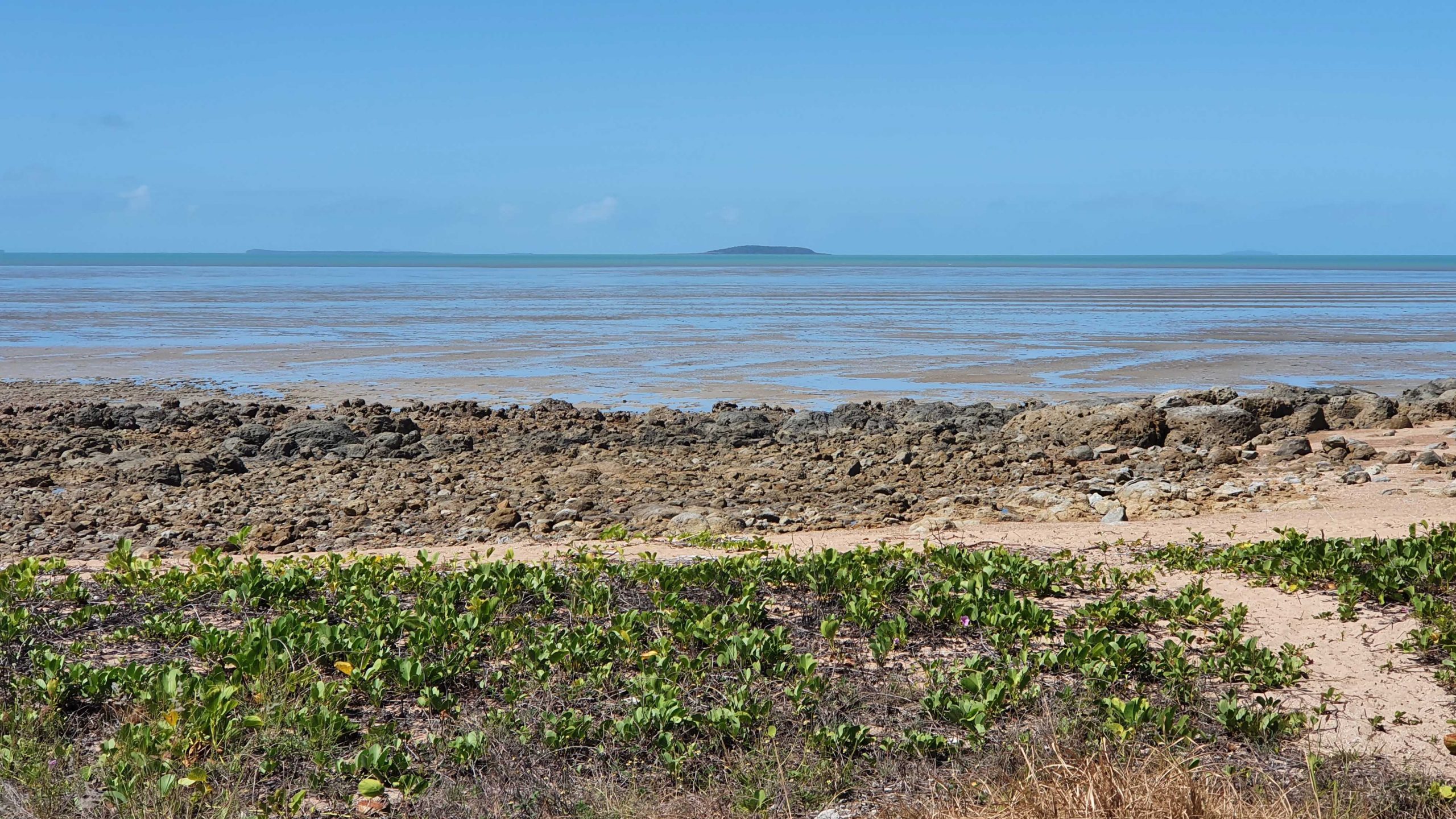
Cape Hillsborough has a caravan park, where we stayed for a few days about six years ago. Today we parked at the picnic area in the national park for coffee before taking a walk on the beautiful beach. The beach is not beautiful in terms of brilliant white sand. The sand is grey in colour and muddy nearer the water, as the tide was out. It’s beauty comes from the rocks sculptured by waves, wind and rain over the ages, the steep hills that fringe the beach and the dramatic mountains that form a backdrop. And then there is the implied romance of off shore islands, partially obscured by haze.
Beach side houses at Ball Bay
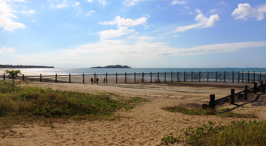
In then, in turn, visited Ball Bay, Halliday Bay and Seaforth. These towns of varying size each has its own bay , beach and a residential area of old fishermen’s hut type houses with newer residential and holiday homes built among them. Each town has an esplanade behind the beach, a park with facilities and a swimming enclosure to keep box jellyfish and crocodiles at bay.
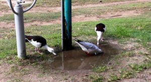
Birds feeding under a tap.
We lunched under a picnic shelter at Seaforth, the largest of the towns. A family, returning from the beach, stopped at a tap near to our table to wash sand off their feet. The resulting pool of fresh water was quickly taken over by ducks and seagulls that seemed to enjoy a long drink of fresh water. They showed no fear and provided us with entertainment as we had our lunch.
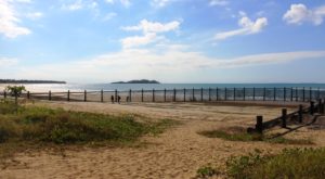
Empty swimming enclosure at Seaforth
This latish lunch marked the end of our outing, so we headed back to the van for some preparation for our departure next day for home.
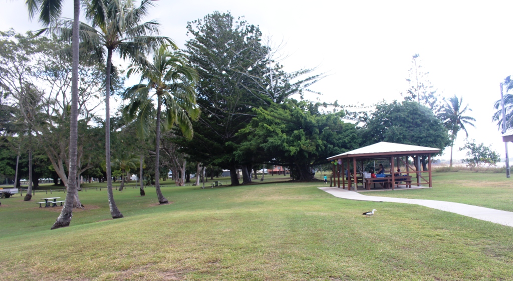
Picnic facilities at Seaforth
Days 11, 12 & 13
We had allowed ourselves three days to travel home. The weather was deteriorating as we came south and getting colder.
Water birds being fed at the caravan park
The first day brought us to the minute town of Yaamba, which is on the highway not far north of Rockhampton, for an overnight stop in a road side parking area. Once again we had heavy traffic thundering by with trains in the distance. But we are becoming immune to truck noise and enjoyed a good night’s sleep. There was heavy rain over night but we did not hear it.
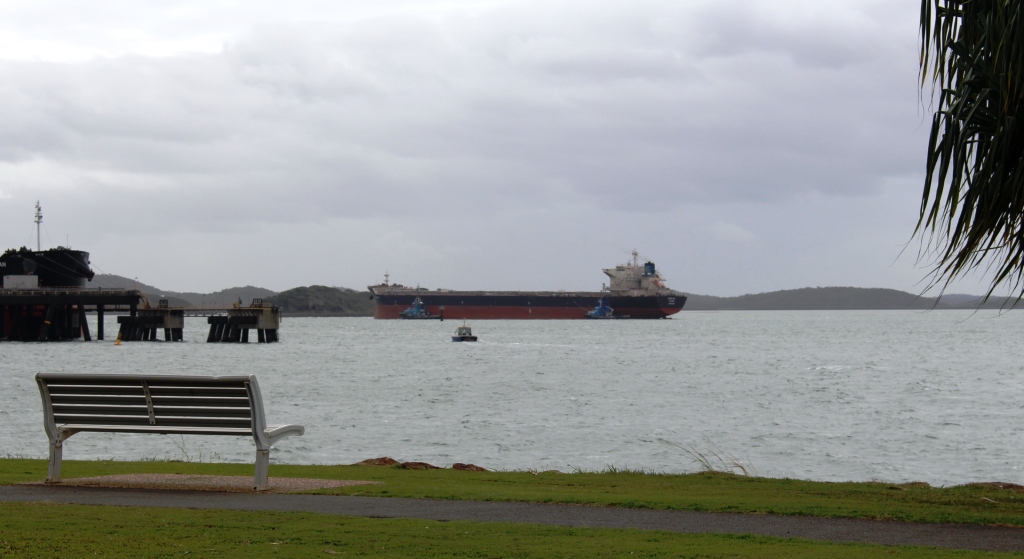
A bulk carrier on its way into the Gladstone coal terminal
For the evening of day two we had arranged to call on my former secretary from Mayne Nickless days. We had some time to spare before arriving at her home so drove into Gladstone and found a parking spot with views of the harbor and shipping activity. There we relaxed and had lunch. Two empty coal carriers were escorted to their births by tugs while we watched.
Former secretary Sandy has a brand new husband who we had not met, so we accepted an invitation to dinner and to park overnight in the spacious grounds around their house, on the northern fringe of Bundaberg. They are developing the property into a wedding reception and conference centre. The attractive property has areas of forest and lush green lawns. We enjoyed their company and the meal prepared by hubby Ian and learned much about the challenges of establishing such a business.
There was a bit more rain overnight and more as we came further south, with frequent showers passing.
On our way back south we discovered the missing caravans from our trip north. They were all coming north on the Bruce Highway. The spare spaces that we had seen in caravan parks were in process of being filled.