This post is being written in Port Augusta, as we take another lay day to let more rain pass through. But the day is not wasted as we had planned to have the car serviced. That is happening as I work on this blog post.
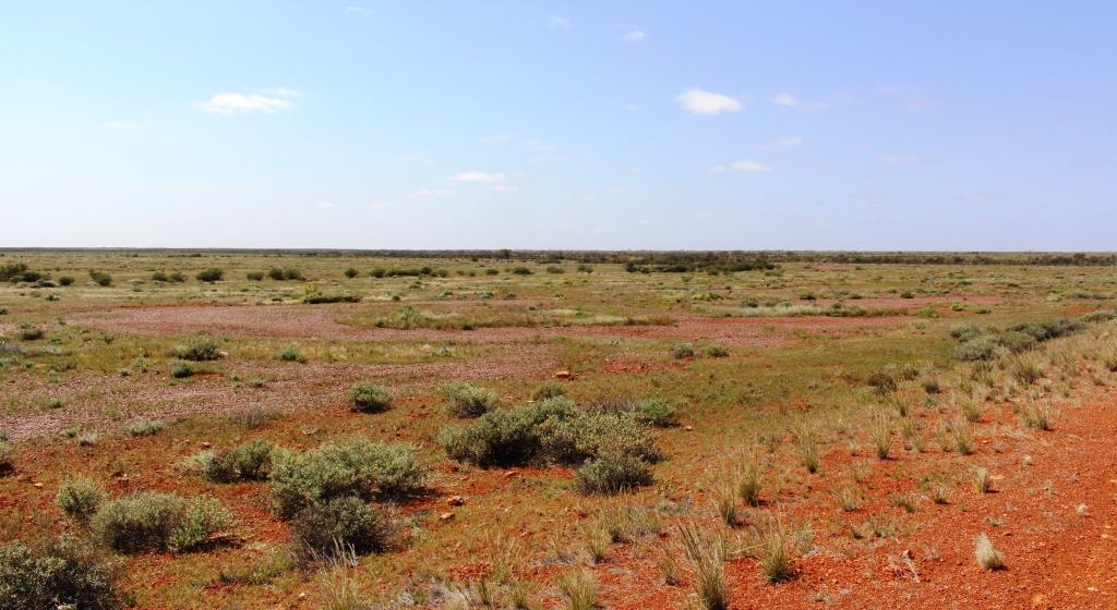
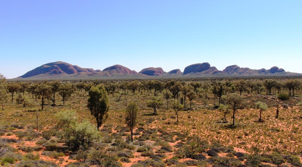
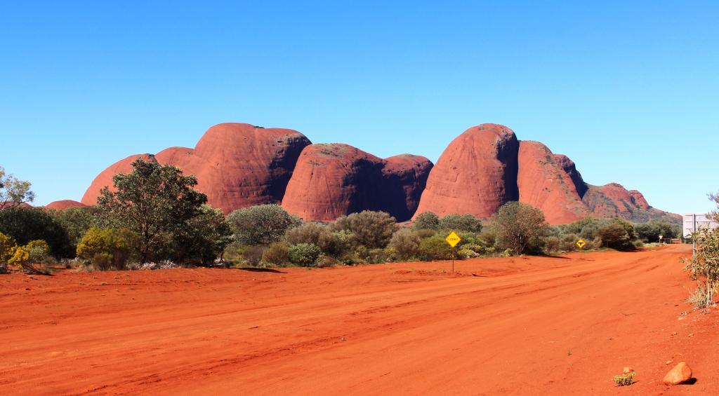
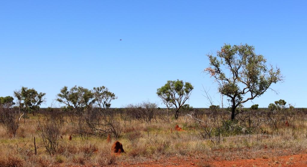
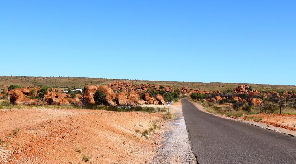
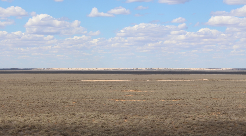
We drove through a lot of country that looked like this
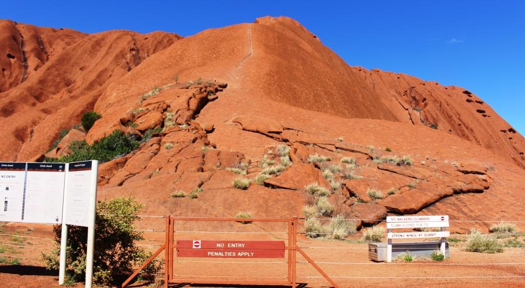
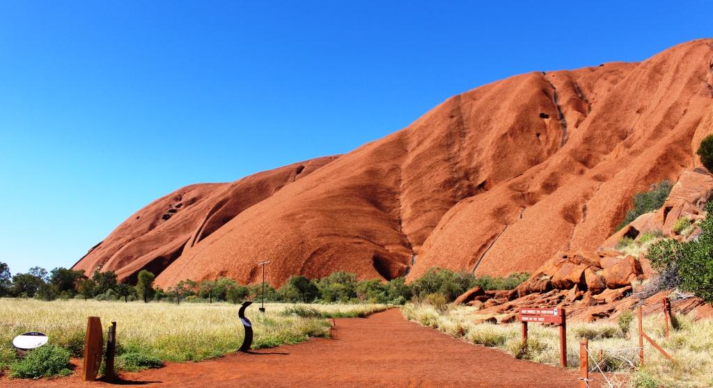
The distance between Ayers Rock and Port Augusta is almost 1,300 kilometres, with few towns or even roadhouses in between. We are forced to stay on the Stuart Highway. Our stalling strategy didn’t achieve a thing. The dirt roads in our plans were still rain affected. On those roads now partially open towing was still not permitted. So we had to bypass the Painted Desert.
We returned to Erldunda at the Stuart Highway intersection the first day and then stopped at Marla Roadhouse, Coober Pedy for two nights, Kingoonya, in a small detour onto gravel, and then Port Augusta for two nights.
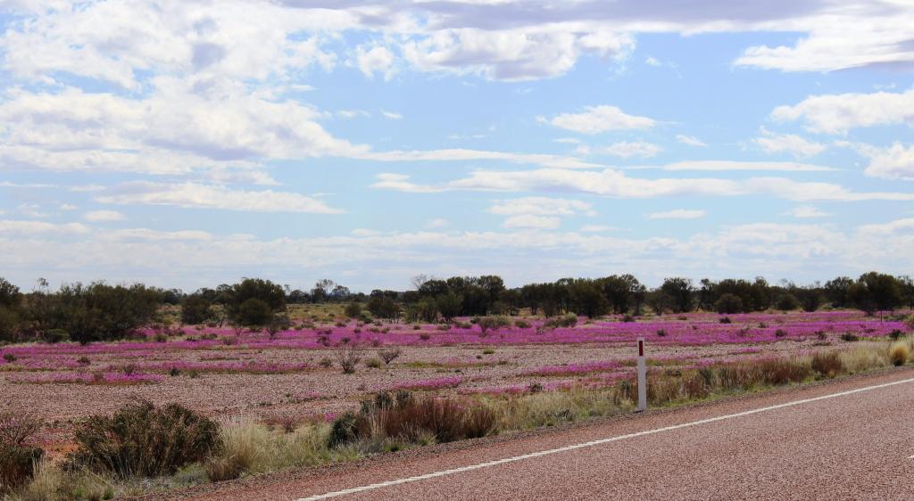
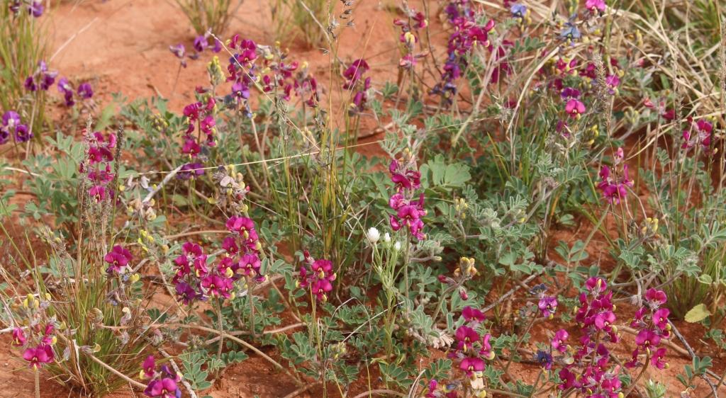
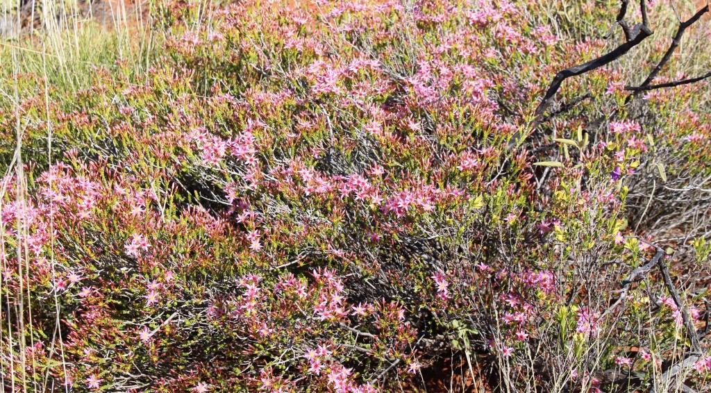
Massed blooms by the highway
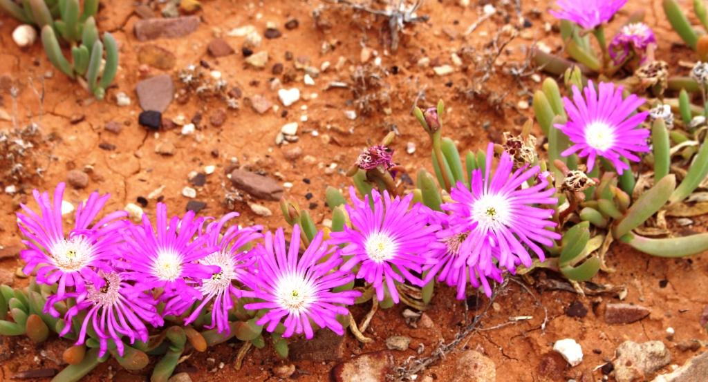
The continuing interest is wild flowers. The roadside is lined with what appear to be a small wattle, with bright yellow blooms, interspersed with a variety of plants of varying sizes, shapes and colours. Beyond the roadside vegetation there are intermittent expanses of yellow and white daises and blue and purple ground cover in huge masses, all against a background of green grass and
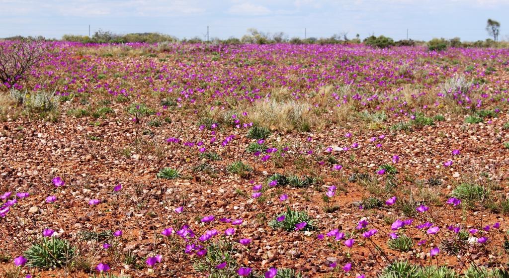
The individual flowers that make up the mass display
the foliage of the other trees. Then there are larger trees with red flowers and patches of plants with dark pink to red blooms that we now know are Wild Hops.

Underground hotels in the main street of Coober Pedy
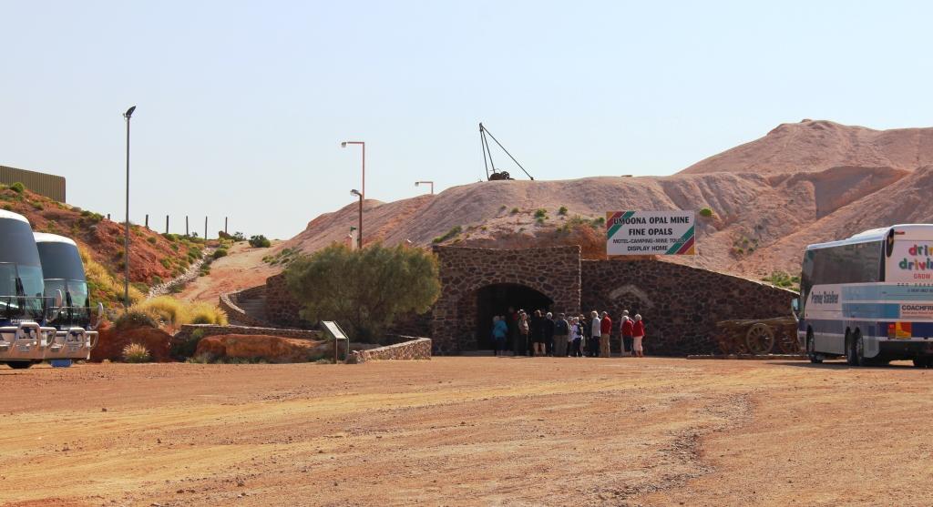
The most popular tourist place on this stretch of highway, and the only real town, is Coober Pedy, South Australia’s, and possibly Australia’s, Opal capital. Locals claim that the town has more Opal shops per square kilometre that any other place on earth. I believe them!
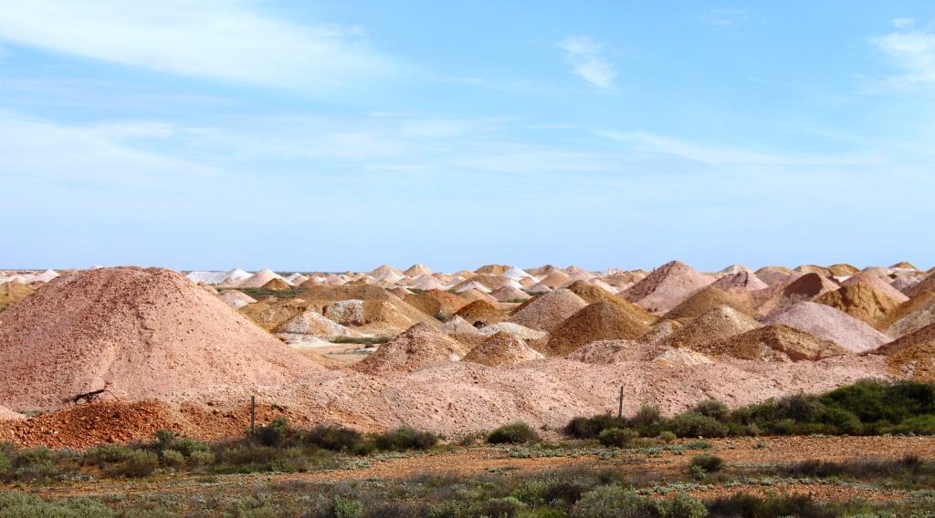
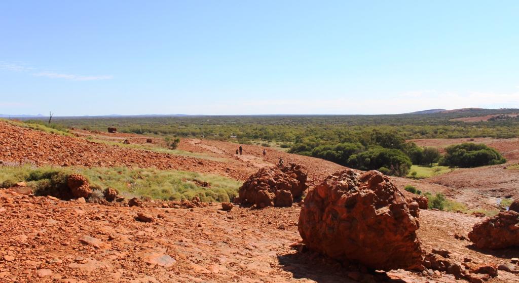
A digging area near to town
The approach to the town from any direction is like entering a moonscape. The cone shaped piles of mulloch that result from mining methods is like endless rows of tents. Most are massed in the areas of richest pickings but others stand alone, like shunned neighbors, where test shafts have been drilled with no commercial result. These mining mounds start to appear 25 kilometres north of the town and the last worked area to the south is about 25 kilometres out of town.
The entrance to an underground building
Coober Pedy always looks a bit down at heel,with a higgledy piggledy main street and shopping area and many empty and derelict buildings. But the town is progressively going underground. People have lived in what they term dugouts for a long time. But more hotel and motel accommodation is now below the surface, including one of the leading hotels and Opal sales establishments. We overheard an assistant at the information centre advise that there are only three accommodation establishments that don’t offer a below ground option. There is even an underground caravan park.
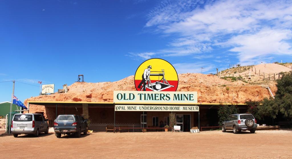
The Old Timers Mine entrance
We conducted our own tour, instead of joining an organised tour, as we did last visit. We visited the Old Timer Opal Mine, one of the most awarded establishments in town. It was an operating mine but has now been set up to tell the story of Opal mining. Mannequins have been placed throughout to assist in demonstrating aspects of Opal mining. Another part has been set up as a mining museum with passages attaching it to a dugout residence, the rooms of which are furnished and contain more mannequins to demonstrate living conditions when the mine was in production.
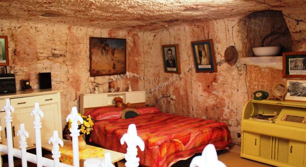
A bedroom in the display dugout
We also visited the lookout above the town to get a broader perspective. The view includes many underground houses, mostly set into hillsides. We saw the underground Catholic Church from the outside and toured the Anglican Catacomb underground church, where we received an explanation of its construction and history.
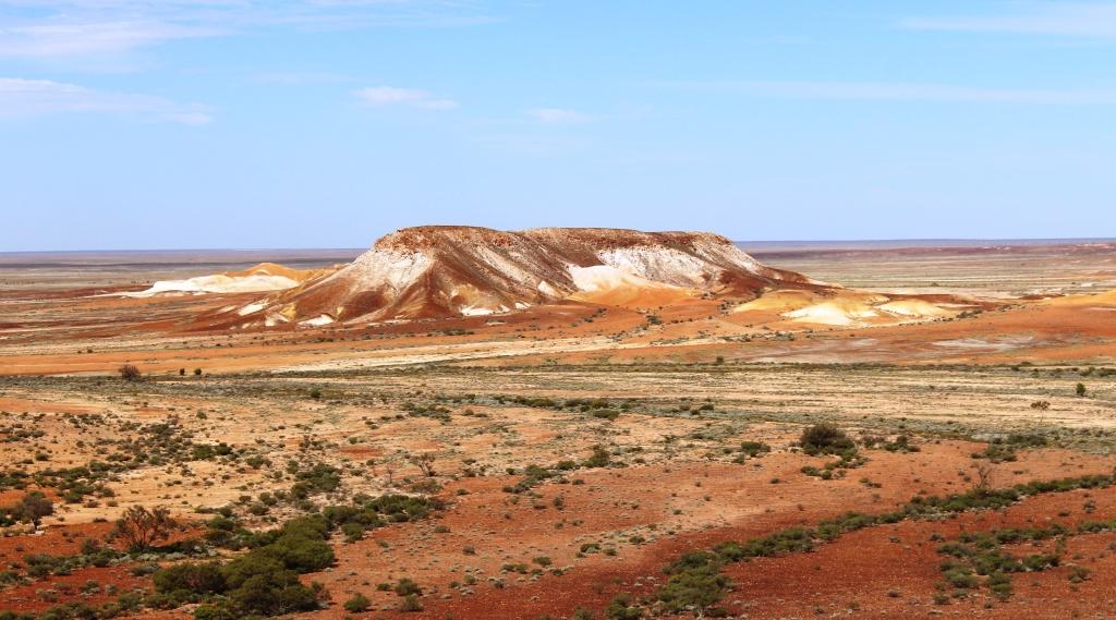
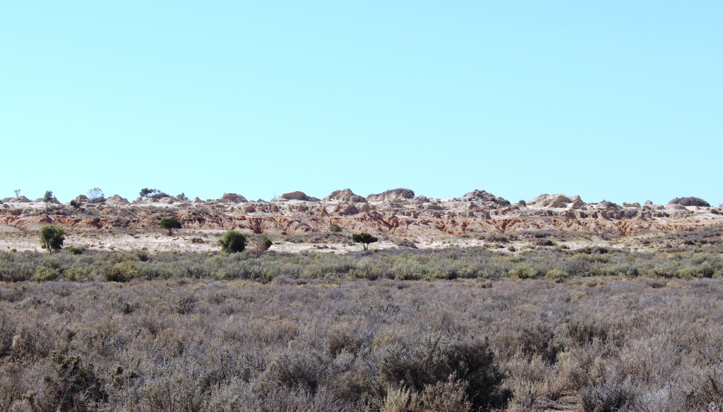
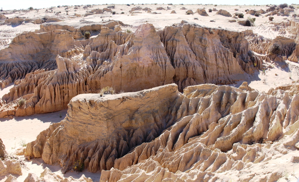
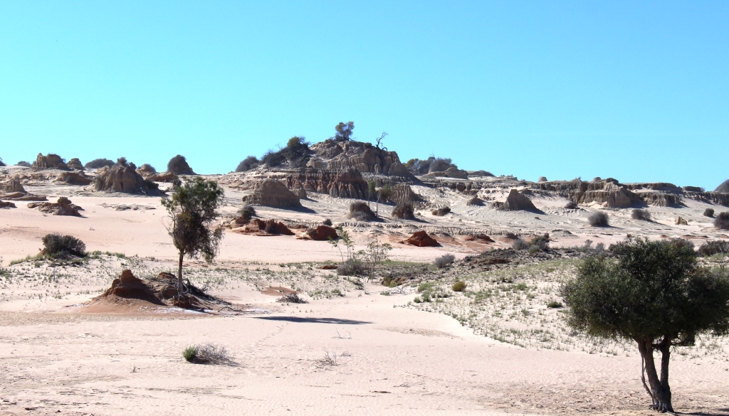
Part of The Breakaways, so named as they appear to have broken away from the main body of the Stuart Range
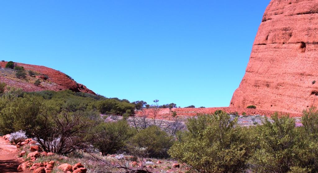
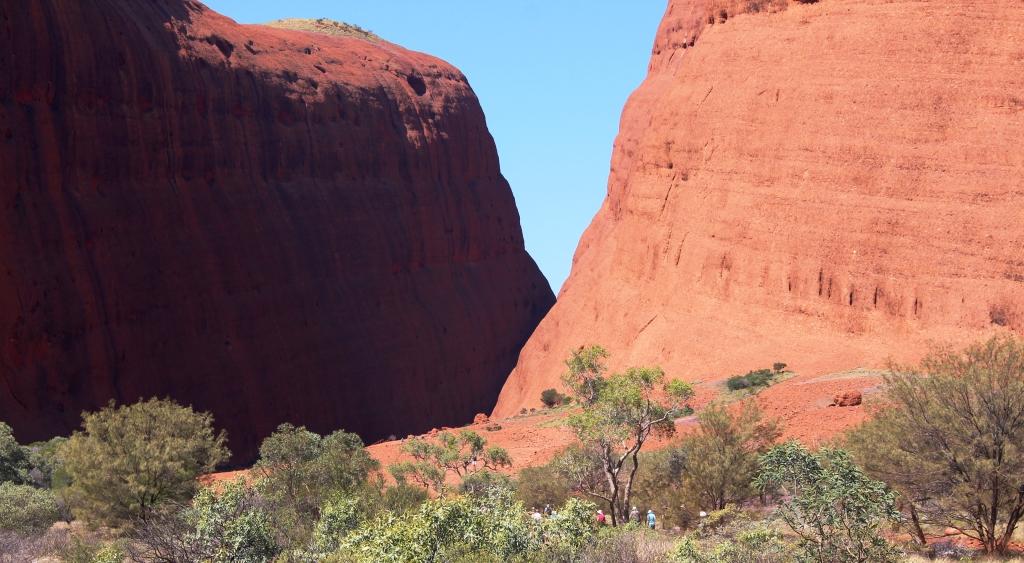
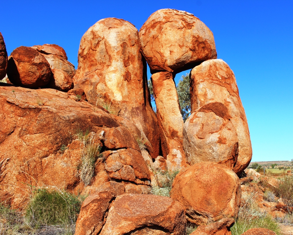
Later in the day we drove out to the area known as The Breakaways. These are jump ups or mesas where chemical action has painted the sides in most attractive colours, similar to colours we would have seen, but on a much greater scale, in the Painted Desert.
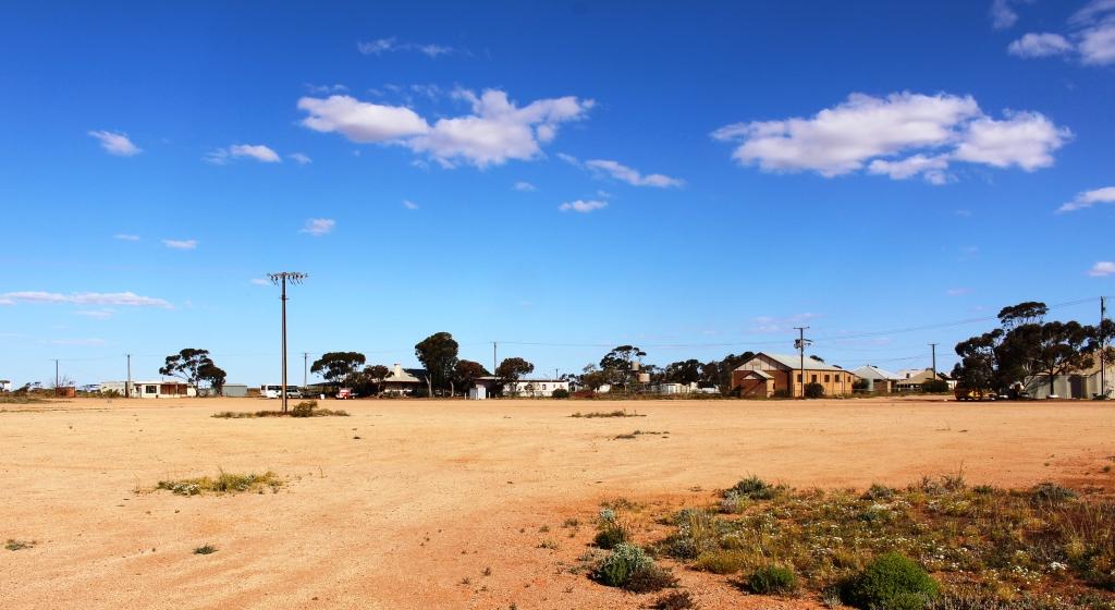
Kingoonya’s wide main street
We moved on south next day, Sunday, with one more night to spend before reaching Port Augusta. The original plan had been to leave the Stuart Highway about 200 kilometres south of Coober Pedy and travel via Kingoonya, Mount Ive Station and the Gawler Ranges to Port Augusta. As we were running behind time, we had decided to follow the highway directly to Port Augusta.
Another floral display
But why not take the short diversion and spend a night at Kingoonya anyway? The road in was 35 kilometres of recently graded sandy dirt and the 55 kilometres back to the highway was in similar condition.
Kingoonya is the first town on the Transcontinental Railway after it turns west, to pursue its long and substantially straight passage over the Nullarbor Plain. It used to be a railway town but now the only operating businesses are the pub and the very run down caravan park. But the caravan park has new owners who have already started to improve the facilities. Their plans include reopening the general store. Currently the only shopping facility within reasonable distance is the Roadhouse at Glendambo, on the highway, 55 kilometres to the east.
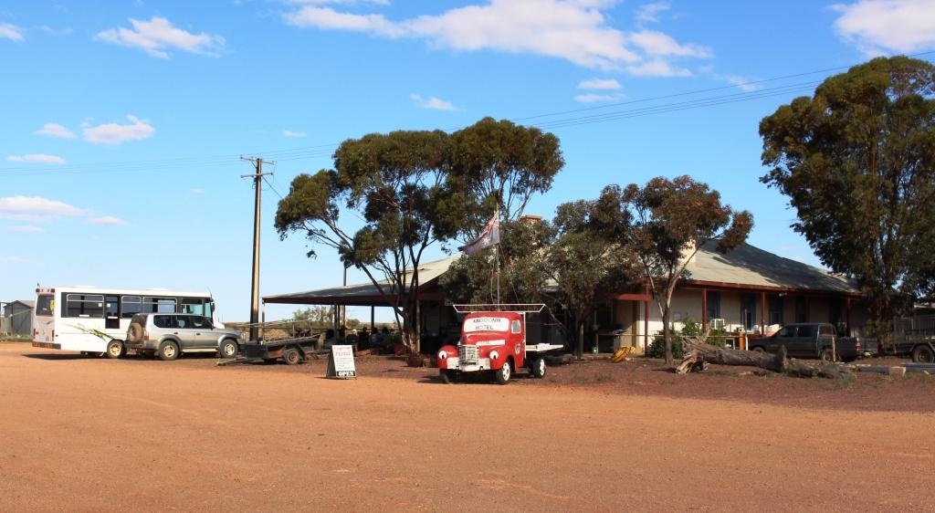
Kingoonya pub
The hotel is doing its bit as well. They host a camp oven cook out and a cricket tournament for country teams, each held annually. The cricket match is held on the very wide main street and no doubt is interrupted in the event of a vehicle passing through. But that would not disrupt the game very often.
We dined at the pub and arrived a bit early for a pre dinner drink. We joined the other patrons around a large steel box with a fire burning in it. That was a nice touch, as the weather had turned chilly. Much of the town’s social life happens here. It seems that the patrons only retire to the bar if air conditioning is needed. Otherwise they sit under shelter around the fire and watch very long trains rumble by.
The other guests around the fire were the other couple from the caravan park, a girl there on a government assignment, three stock men and the boss’s daughter from the neighboring cattle station and a couple of locals. We four from the caravan park dined royally on curried king prawns with rice.
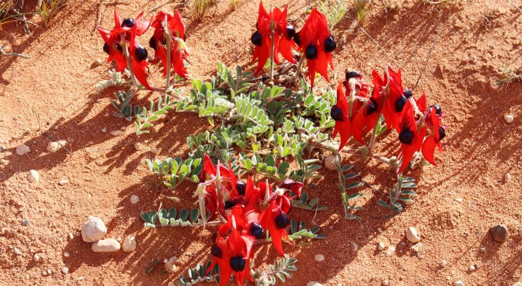
Sturts Desert Pea
We had been on the lookout for Sturts Desert Peas that grow wild in South Australia and are the State’s official flower. A few kilometres along the road back to the highway we found some, growing in substantial numbers along both sides of the road. They were fresh and new. The brilliance of their colour could not be missed against the dull red of the sand.
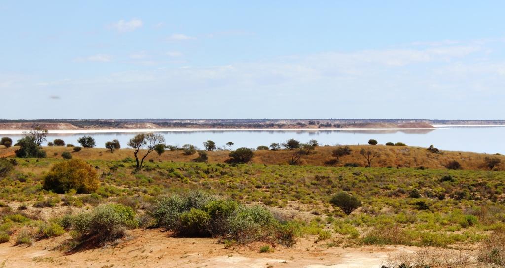
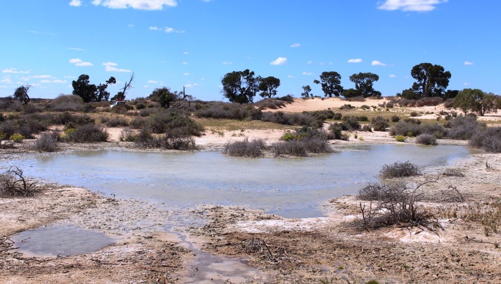
Lake Heart
Once back on the highway we travelled again through vast tracts of open grassland and then trough scrubby county, mostly flat but with the occasional hill in the distance. Near the turn to Woomera the road passes between salt lakes, large and small, that are surrounded by hills, which provide both relief from the previous flat terrain and vantage points to view the lakes. The two most significant are Lake Heart that is part of the Woomera restricted entry area and Island Lagoon, that does indeed have a prominent island in its waters.
Shortly after passing the lakes the first spots of rain appeared on our windscreen. We then had intermittent light showers until we reached Port Augusta. Fortunately a break in the rain allowed us to set the van up without getting wet. But the rain set in overnight and has continued into Tuesday. The forecast is for fine weather tomorrow. We hope that it is accurate.