
Please Note: A link to a short video covering the material in this blog post can be found at the bottom of the blog.
There was something to blog about in our family visit at Drouin. On reflection, I think our visit there should be recorded, as it is part of the experience of our trip.
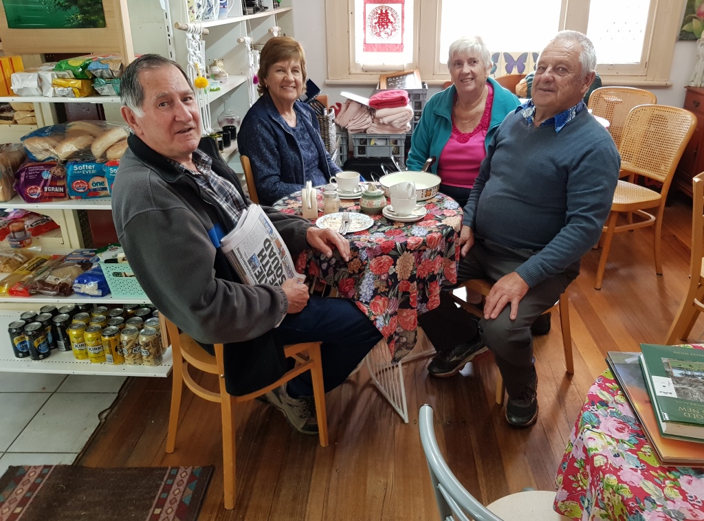
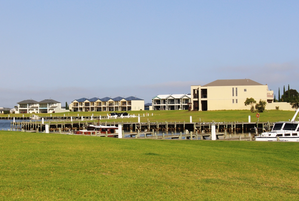
Family group. Lest to right: Colin, Aileen, Ruth and Bernard
Our reason for coming so far south on a trip to South and Western Australia is the medical condition of my brother Winston. He has been assessed as terminally ill, with probably only months to live. We visited him in his nursing home and on the following day he was able to attend a family lunch at his old home. He is wheelchair bound and can only move to other seating with a great deal of help. But it was a happy occasion. He was able to spend time with his only grandchild, an eight month old girl, and other members of his immediate family.
We parted after we had delivered Winston back to his nursing home. As we shook hands we were both very aware that this might be the last time that we would see each other. We can only hope for a miracle.
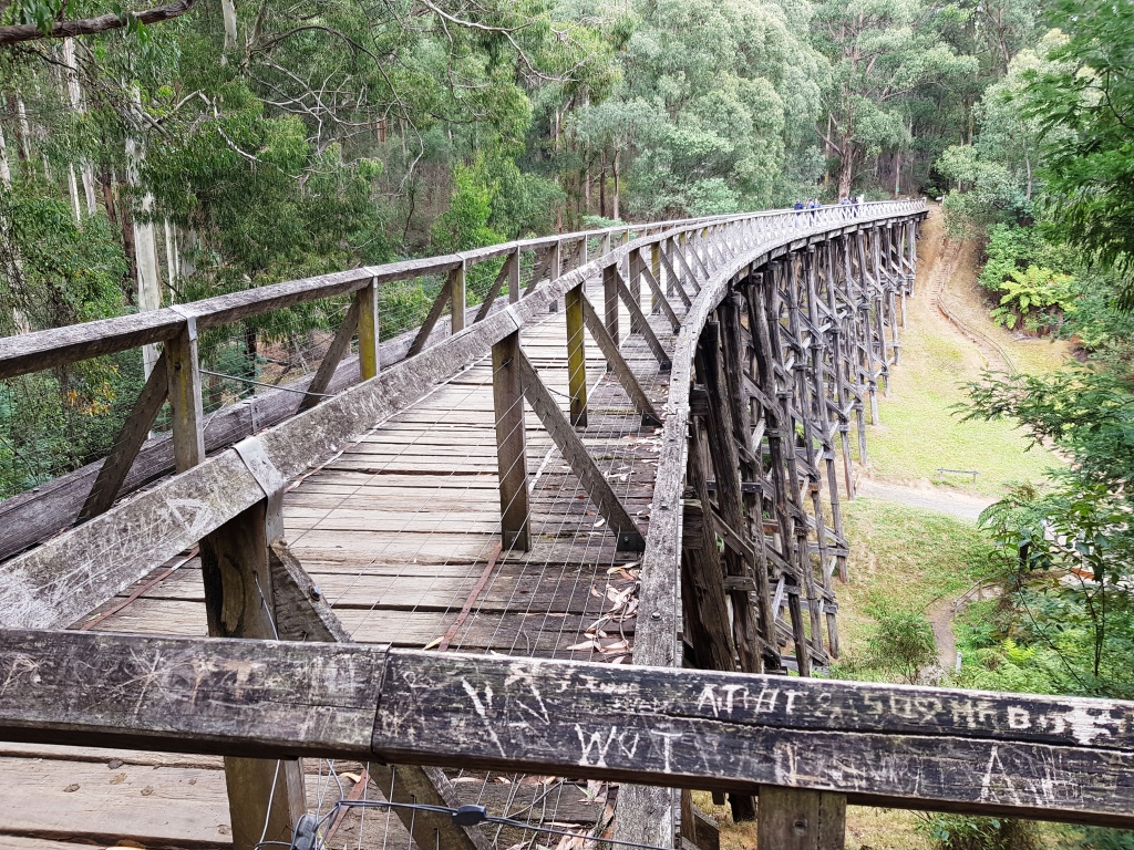
The Noojee trestle bridge at deck level
The following day, in company with my sister Aileen, her husband Colin and my youngest brother Bernard, we drove into the hills to the north of Drouin in search of the restored Noojee trestle bridge. The bridge was part of the now long closed Warragul to Noojee railway line, built mainly for the transport of timber. The bridge was partially destroyed by fire many years ago. It has been restored as a tourist attraction. If success is to be judged by the number of people visiting it then the strategy has worked.
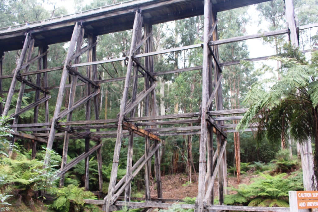
Trestles supporting the Noojee bridge
We had stopped for coffee at the Neerim South Bakery, another place enjoying a brisk tourist trade, visited the bridge and then drove into Noojee for lunch. We enjoyed a pasty at the general store, and then drove out to the parking area for the water falls on the Tooronga River. The walk takes in the Tooronga and Amphitheatre Falls during a brisk walk of a bit more than two kilometres. There are some steep parts and steps, but generally an easy walk.

Family group minus Ruth at Amphitheater Falls
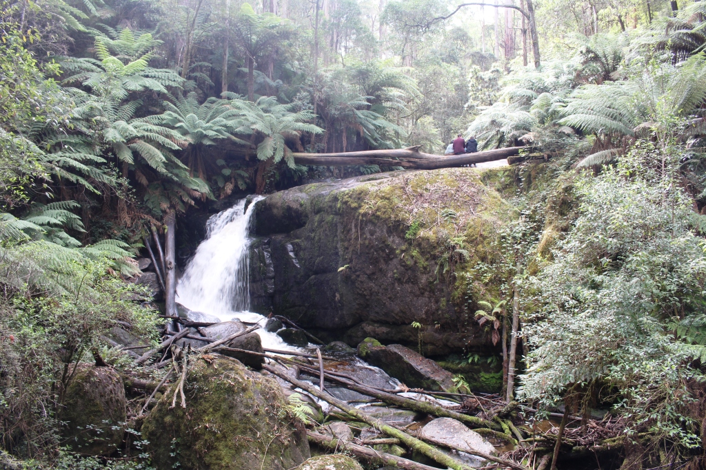
Tooronga Falls

The river runs beneath rock falls in some places
Next morning we moved on to Melbourne, to a caravan park at East Doncaster, to visit long time friends Thelma and Joe. Our caravan won’t fit on their property because of narrow streets, so we commute from the caravan park. Short visits like this are mostly spent talking, catching up with news and the doings of family and friends. We did a very pleasant lunch with them at the Ringwood Club, near their home.
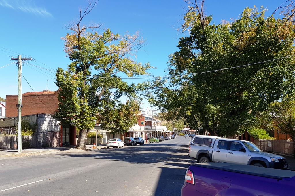
A street in Maldon
Planning the next move forward always includes keeping an eye on the weather. We were a bit shocked, after the cold weather we had experienced, to find our planned route would lead us back into southern summer like extremes. We planned to go to Castlemaine and then to Mildura, before following the Murray River to South Australia. But temperatures were forecast to be in the high thirties. Clearly it was advisable to stay in the south for a few days.
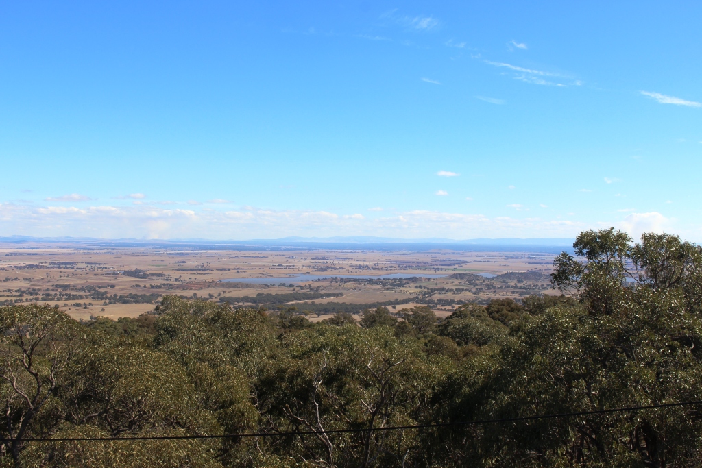
View from the mountain top. The water is Cairn Curran Dam
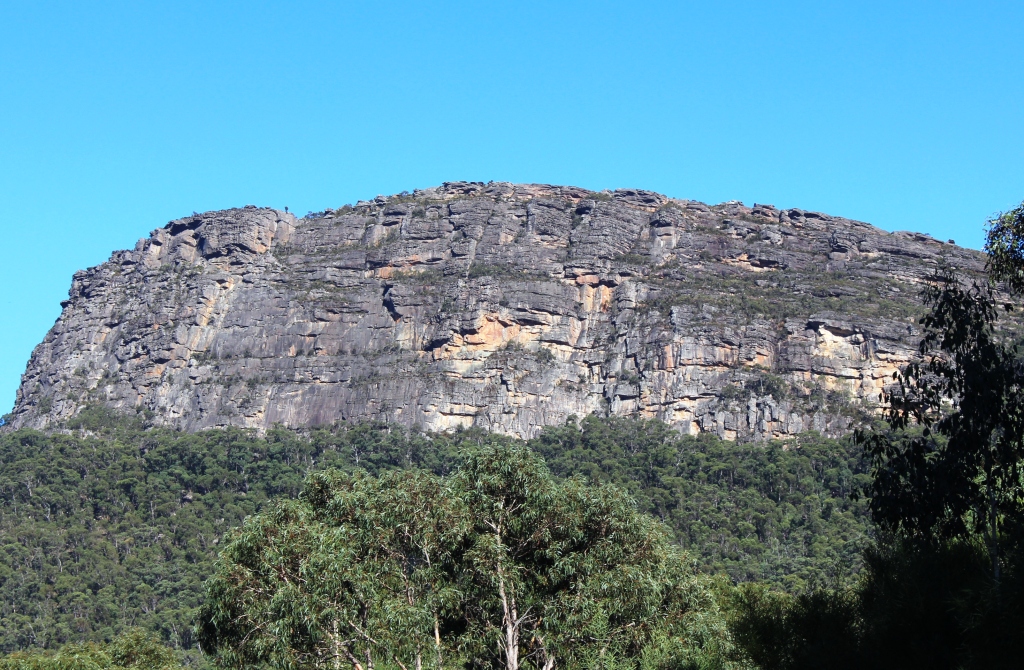
Keith and Lynda have a great spot for a caravan at the front of their house in Castlemaine. We had planned a one night stop over but, at their invitation, extended it to two. Again much chatting, but we did fit in a tour to the nearby gold town of Maldon, for lunch and a stroll along the historical streets. There are many fine restored buildings in streetscapes which preserve their heritage. There was no time to research gold rush history, but we did return home via the panoramic views from Mount Tarrengower and a park by the waters of the Cairn Curran Dam.
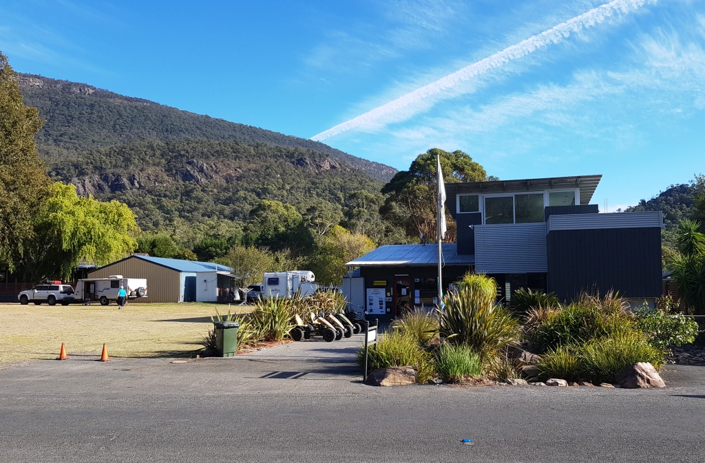
Parked in the guest space at Halls Gap
It’s Saturday 7th April and time to move on again. The plan is to do a short leg to Ararat for perhaps two nights, but we want to catch up with an old friend at Dunkeld, so we called ahead to her mobile. She answers it from her hospital bed in Geelong. She had a mild heart attack on Easter Friday. She awaits news of future treatment but meanwhile is bored. Know the feeling? After hearing our proposed schedule she suggests that we overnight at Halls Gap, where her daughter and son-in-law manage the Big 4 caravan park. I suggest that it will be booked out with school holidays and we say our goodbyes. Five minutes later, she calls back to say that she has talked to her daughter and they have a site for us. So here we are!
Update: Do has had two stents inserted into the troublesome artery. She is fine and will soon be back to normal. In her early eighties, she is planning another tag-along tour in a desert somewhere in Western Australia.
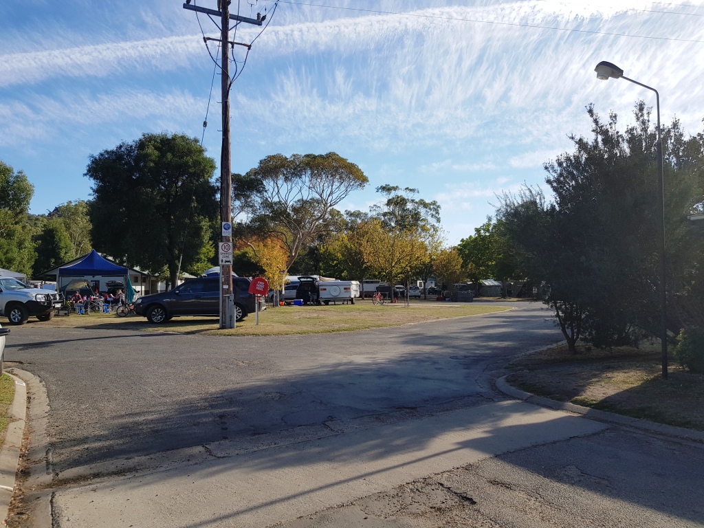
The park at Halls Gap was busy
To reach Halls Gap we passed through the larger towns of Maryborough and Ararat and some smaller settlements. We crossed the sheep country of the Moolort Plains and through some of the hills of the Pyrenees Ranges. Finally we drove the Great Western Highway from Ararat to Stawell before turning off to Halls Gap. The entire area through which we drove needs rain.
The Grampians on the way to Dunkeld
We left Halls Gap at about 9.00 AM, bound for Dunkeld, then Hamilton and on through the small towns of Marino and Sanford to Casterton. After lunch we continued to Penola and turned south west to our final destination. The quiet caravan park at Millicent, near Mt. Gambier, should be ideal to catch up on washing, blogging and general record keeping.
Brown farm land near Casterton in Western Victoria

The Autumn colours were appearing in Casterton
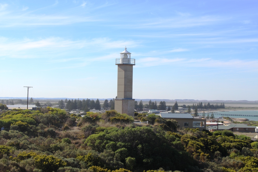
A lighthouse stands above Beachport
Sunday 8th was Ruth’s birthday and we had travelled all day. Ruth spent part of the day fielding telephone calls and Facebook posts. By way of celebration, we went to a local hotel recommended by the caravan park management and enjoyed a pleasant relaxing meal.
After lunch next day, with chores substantially complete, we drove the 35 km west to the beach side town of Beachport, located at the south eastern end of a chain of lakes that run just inside the coast to the north west to the better known holiday and lobster town of Robe. Beachport is an attractive town with a great deal of tourist accommodation. I suspect that many Adelaide residents find it to be something of a refuge during the summer heat of holiday time.
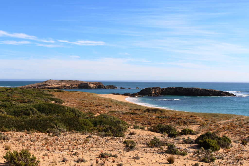
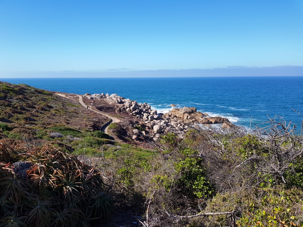
Beaches along the scenic drive
A scenic drive follows the rugged coast to the north west, with observation points that provide views of the rocky promontories and small sheltered beaches that reach up the coast and views back over the town and along the sweep of the beach to Southend in the far distance.
The barrier at the mouth of the drainage chanel
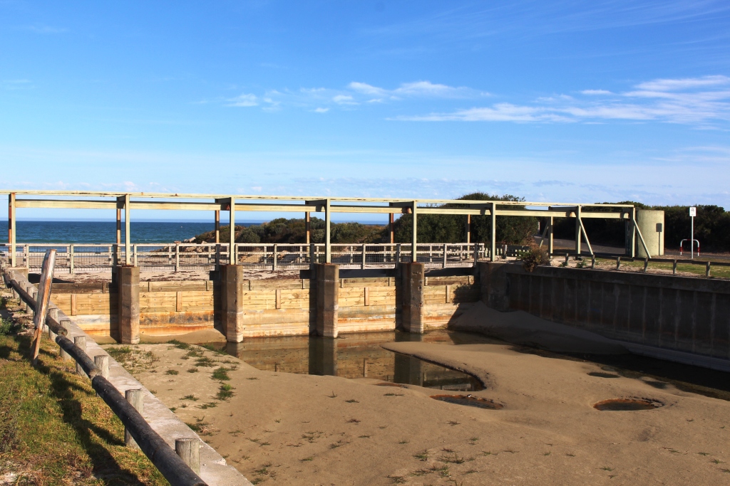
At the entrance to Beachport a drain reaches the sea, but its entrance is protected by a barrier to stop the entry of salt water. We noticed a number of such drains the next day. The area is very flat and near to sea level. It was drained to make it suitable for farming activities, many long years ago.
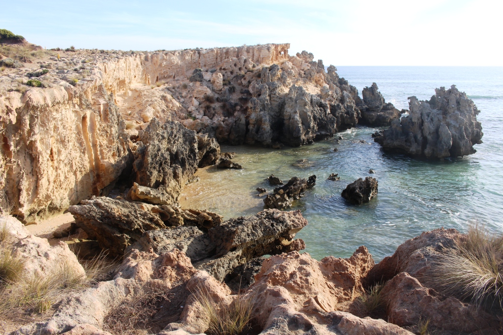
Weathered rocks at Southport
On the way back to Millicent, we did a detour to Southend. It is a typical seaside village with almost no commercial centre. But a does have a headland with interesting erosion patterns in the rocks, which seem to be of a material that selectively weathers. From the headland you can see back to Beachport.
With forecasts suggesting Adelaide weather returning to sanity, we left Millicent on Tuesday 10th, bound for Port Elliot and Victor Harbour. It was a 400 km drive into a strong head wind. Unpleasant conditions made worse when the caravan tyre that had been repaired in Orbost again went flat. So out with the compressor to add some air! We made the 15 km into Meningie before it went flat again. But this time it has suffered mortal damage, probably from a sharp edge to the pavement. Fitting a tube got us back on the road, but the tyre will have to be replaced before we go too far.
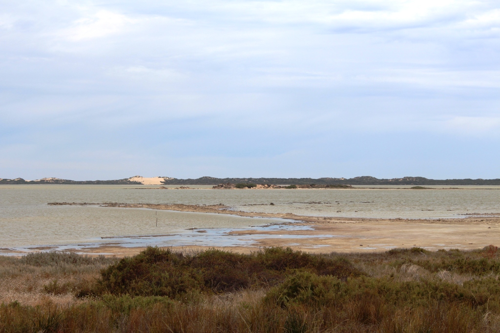
Views over The Coorong
The drive from Millicent is over very flat terrain for most of the way. It is mostly dairying and grazing country with both cattle and sheep. Pine forests can be seen in the distance to the right. The road was rather bumpy. The views are of brown land in need of rain. The highway joins the coast at Kingston SE. Soon after that a long strip of water enclosed within its own National Park, known as the Coorong, appears to the left and stays there for most of the 130 Km to the next town of Meningie.
The Victor Harbour to Goolwa steam train runs through Port Elliot
We turned left and took the ferry over the Murray at Wellington, travelling through the vineyards of Langhorne Creek and via Strathalbyn to reach Port Elliot. We set up at the showgrounds where a basic caravan park operates. You have to save money when you can. The tyres on an off road caravan are expensive.
A walking track follows the coast as Port Elliot
As we approached Port Elliot, Ruth phoned her long time friend Margaret who is retired, with her husband Brian, in the town. We found that her retirement village backs on to the Showgrounds. Brian was in hospital in Adelaide having a new knee fitted. Margaret was not visiting him the next day so we arranged to meet for coffee. We met in the street and did a short foot tour, walking up to the headland that provides views to Victor Harbour to the west and

Protected stone buildings in Port Elliot
Goolwa to the east. Brian’s forebears were among the earliest settlers in the area, so we heard some interesting stories before returning to the coffee shop/post office for coffee and a long chat, as Margaret and Ruth covered many years of not seeing each other very often.
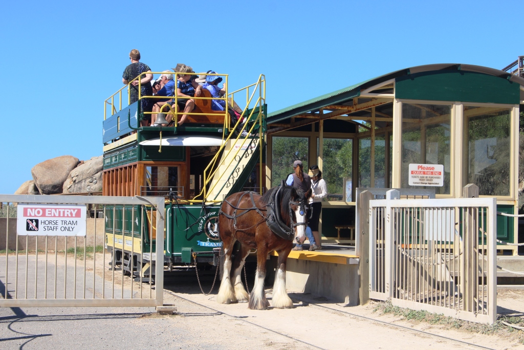
The Granite Island horse drawn tram
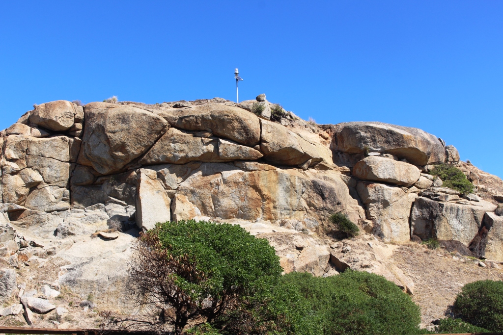
The granite pile in the centre of the island
With coffee long finished, we took our leave and drove to Victor Harbour. One of the features of that fine resort town is the off lying Granite Island, which is linked to the mainland by a timber causeway. There is a regular and popular horse drawn tram service to transport tourists to the island. The alternative is to walk. And a pleasant walk it would be.
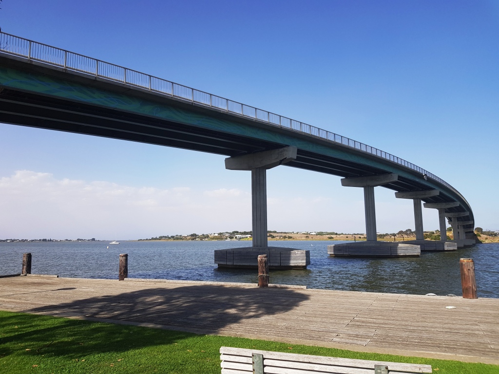
The Hindmarsh Island or “Secret Women’s Business” bridge
But we caught the tram. I ascended the wooden stairway to the top of the granite pile for the view and photos. Then we caught the tram back to the mainland. The island also hosts an under water observatory and, just off the island, a circular enclosure where you may swim with tuna, if that activity takes your fancy.
After lunch we drove back east to the old river port town of Goolwa, to visit the restored wharf area which includes the Goolwa station of the Victor Harbour to Goolwa steam railway. The train normally operates on Wednesdays but was dormant for our visit, probably undergoing maintenance in preparation for a coming busy school holiday schedule. As we stood on the wharf, towering above us was what I call the Secret Women’s Business Bridge.
Houses at the Hindmarsh Island Marina
Do you remember the kerfuffle when activists used the secret women’s business ploy in an attempt to stop the building of the bridge and a marina on Hindmarsh Island? The protest failed, as the completed bridge demonstrates. Accompanying photo illustrates that the marina, which was being protested at the same time, was also built. Where do the people come from with the money to buy all of the houses and units this far from Adelaide, I wonder?
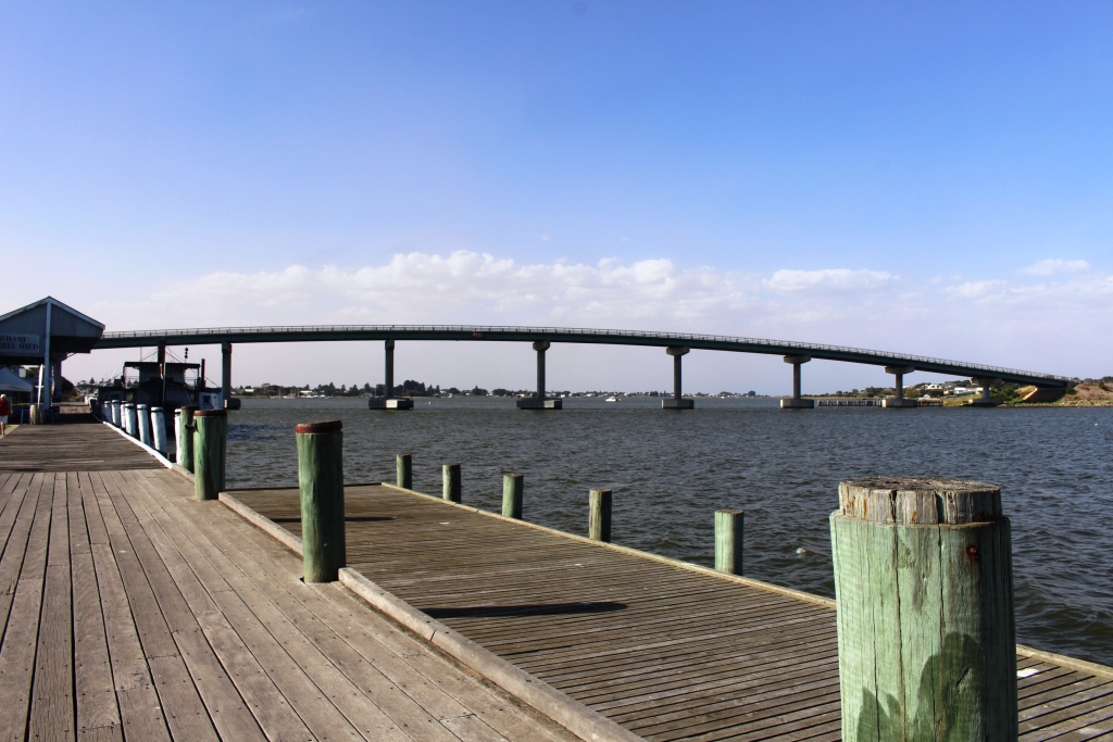
The bridge and the old wharf
During our drive, Margaret called to invite us to dinner. So a pleasant evening was spent with old times getting a thorough going over. Margaret is a retired nursing sister, with most of her working life spent in the Northern Territory, but she has also worked in the United Kingdom and Zambia. There were some interesting stories. Oh, yes! Brian’s knee operation went well.
Thursday gave us a leisurely start. The appointment to get the new caravan tyre fitted was at 11.30 with check out time at the caravan park at 10.00, so we found a high spot with good views to spend the intervening hour or so. I had ground some coffee beans that morning, while we had power, so we enjoyed homemade cappuccino while we admired the view.
New tyre fitted, we set out for the northern suburbs of Adelaide, where we are set up in the Gawler Gateway Tourist Park for four nights. The forecast for our stay is for cool weather, with winds to 45 kph and some rain. That will be horizontal rain, no doubt. I will let you know in the next post.