It is some time since I last posted to my blog. Age and some illness has slowed us down and the Summer just passed did not provide much in the way of good days to go for a drive. But Labor Day in Queensland provided such a fine opportunity that we took to the road with a destination in mind.
So, equipped with camera, we headed out. On reaching the Bruce Highway we turned North until Caboolture where we turned into the D`Agula Highway and proceeded through to Woodford. Traffic was relatively light on the Bruce Highway for Northbound travellers but quite heavy moving South.
After turning into Neurum Road we noticed a substantial amount of building at the Woodford Correctional Centre. The nature of the buildings suggested increases to low security prisoners, as the new building is outside the main prison walls. I guess it is to provide additional accommodation for those caught out by Queensland’s tough on crime policies.


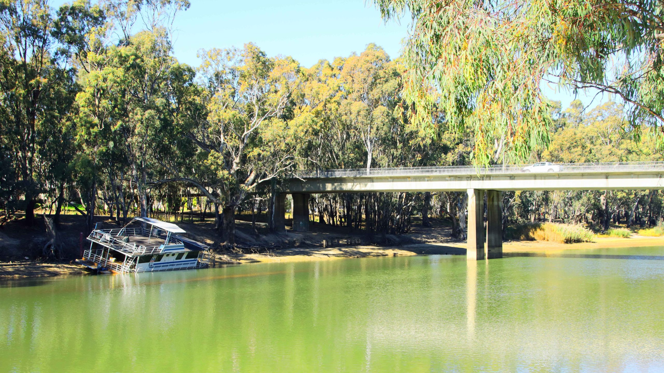
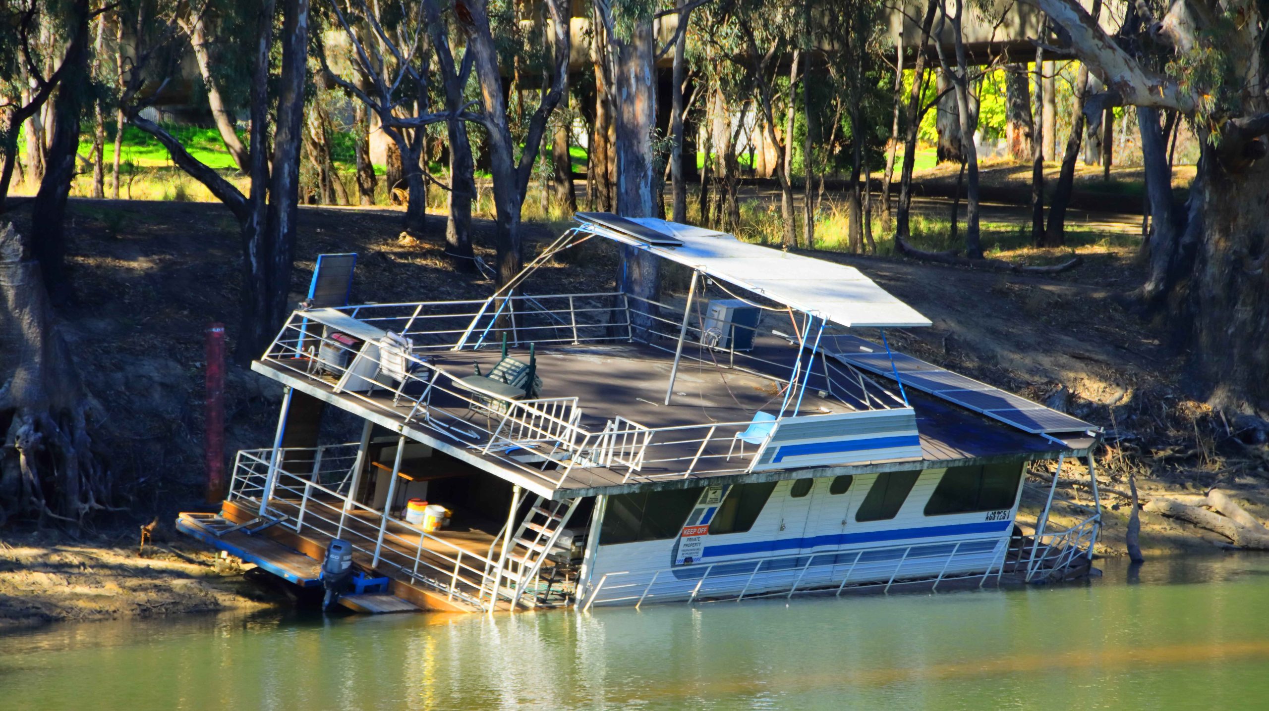
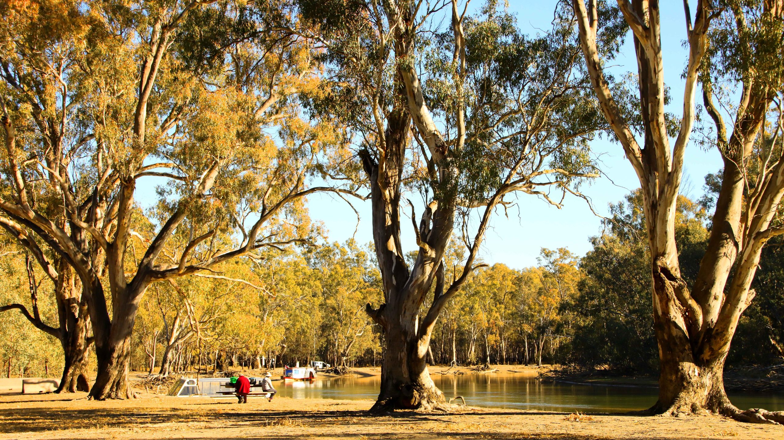
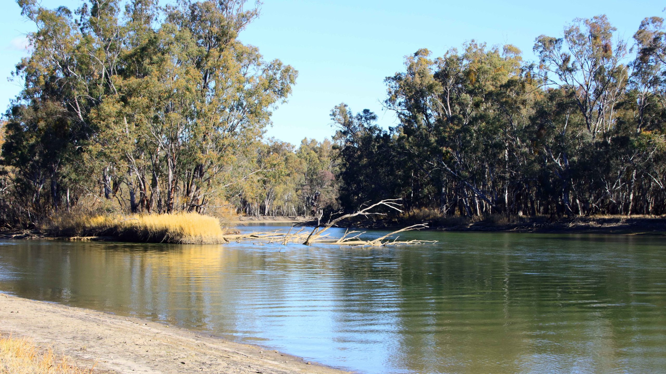
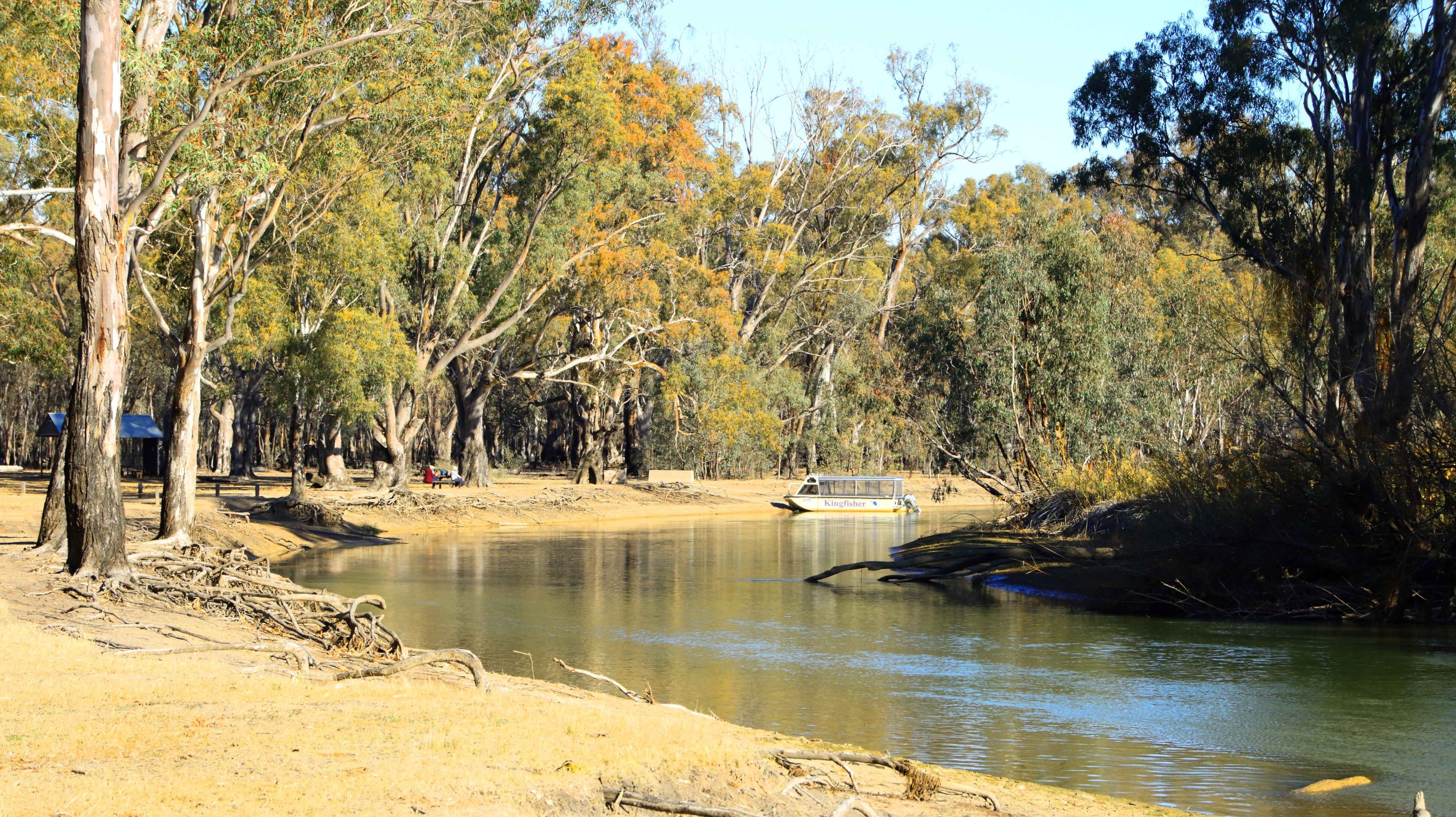
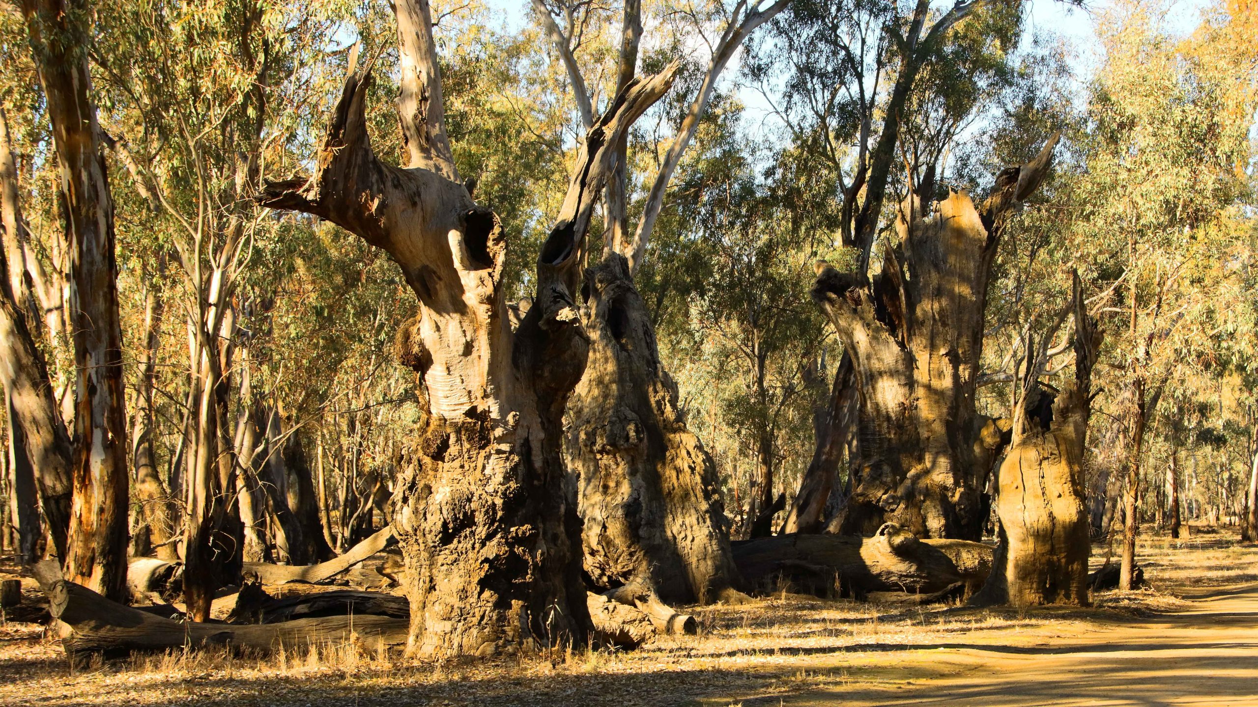
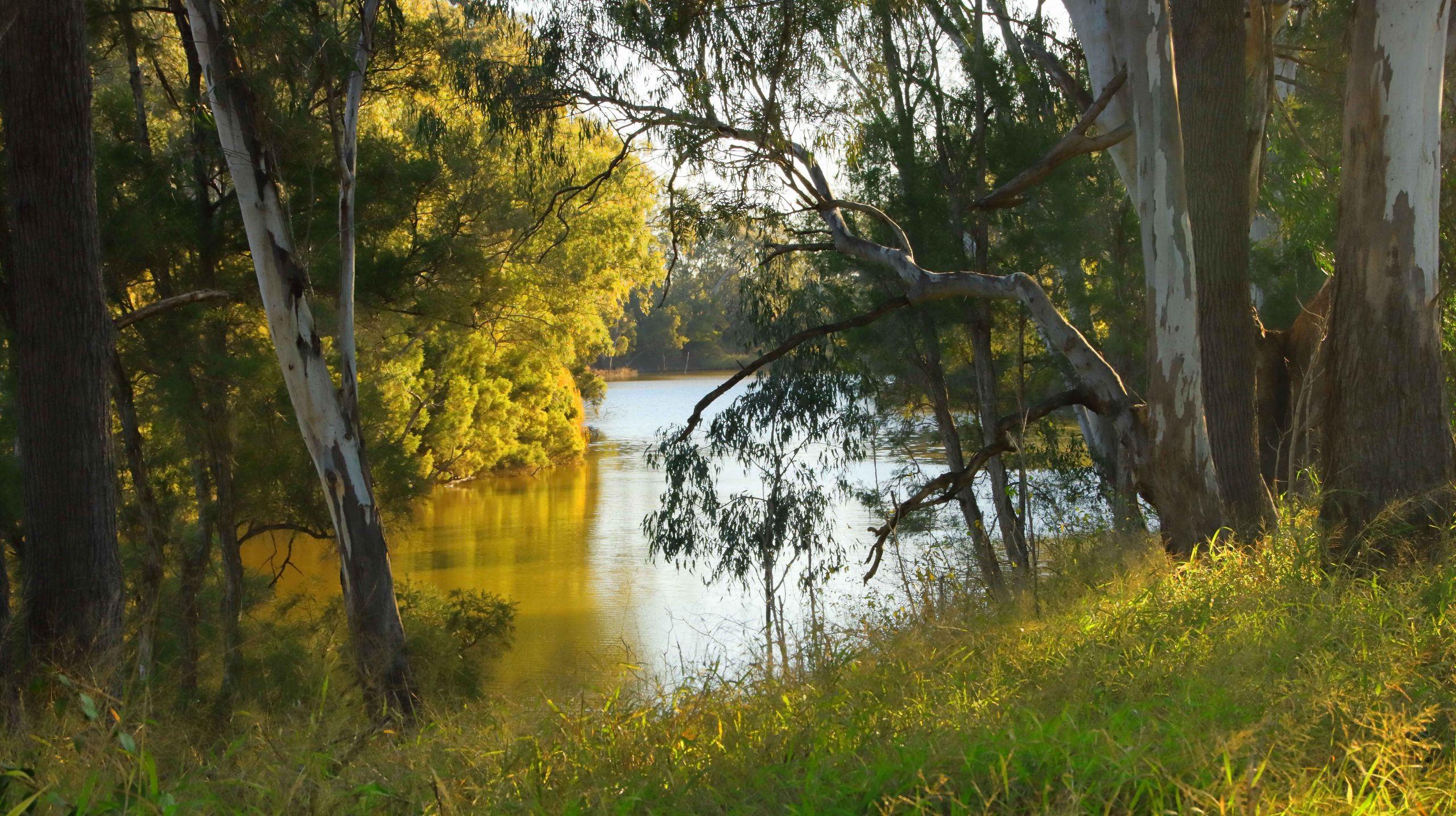
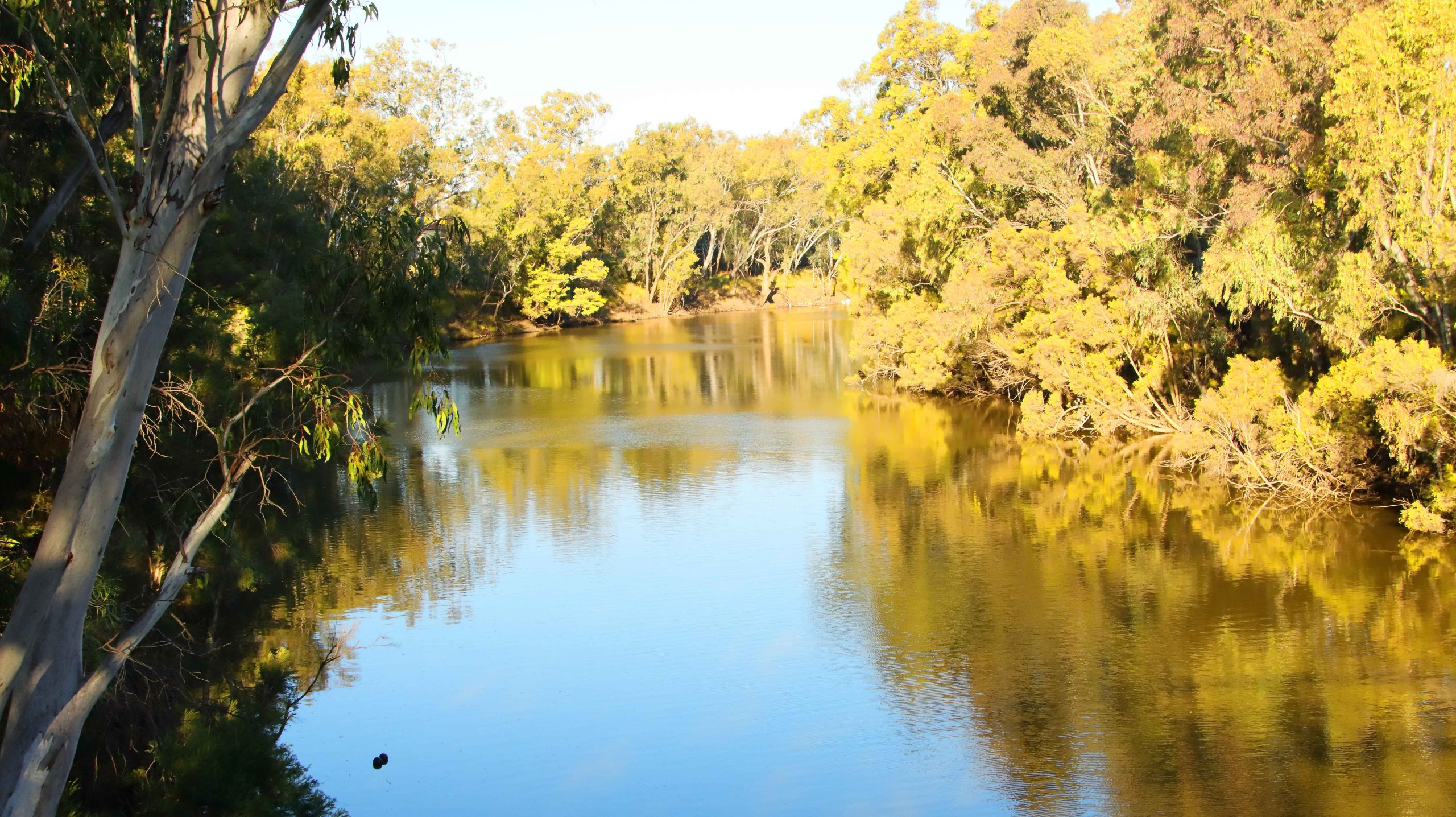
The road passes through rolling farmland covering the broad Stanley River Valley and the side valleys that feed into the main stream. The Stanley River is the main river feeding into the Somerset Dam. The Kilcoy Creek flows through the town of Kilcoy and along an adjacent valley to the west. Together they provide a substantial proportion of the water flowing into Somerset.
Down stream of the bridge over the river, the stream broadens and retains the added width until it reaches the head waters of Somerset Dam.

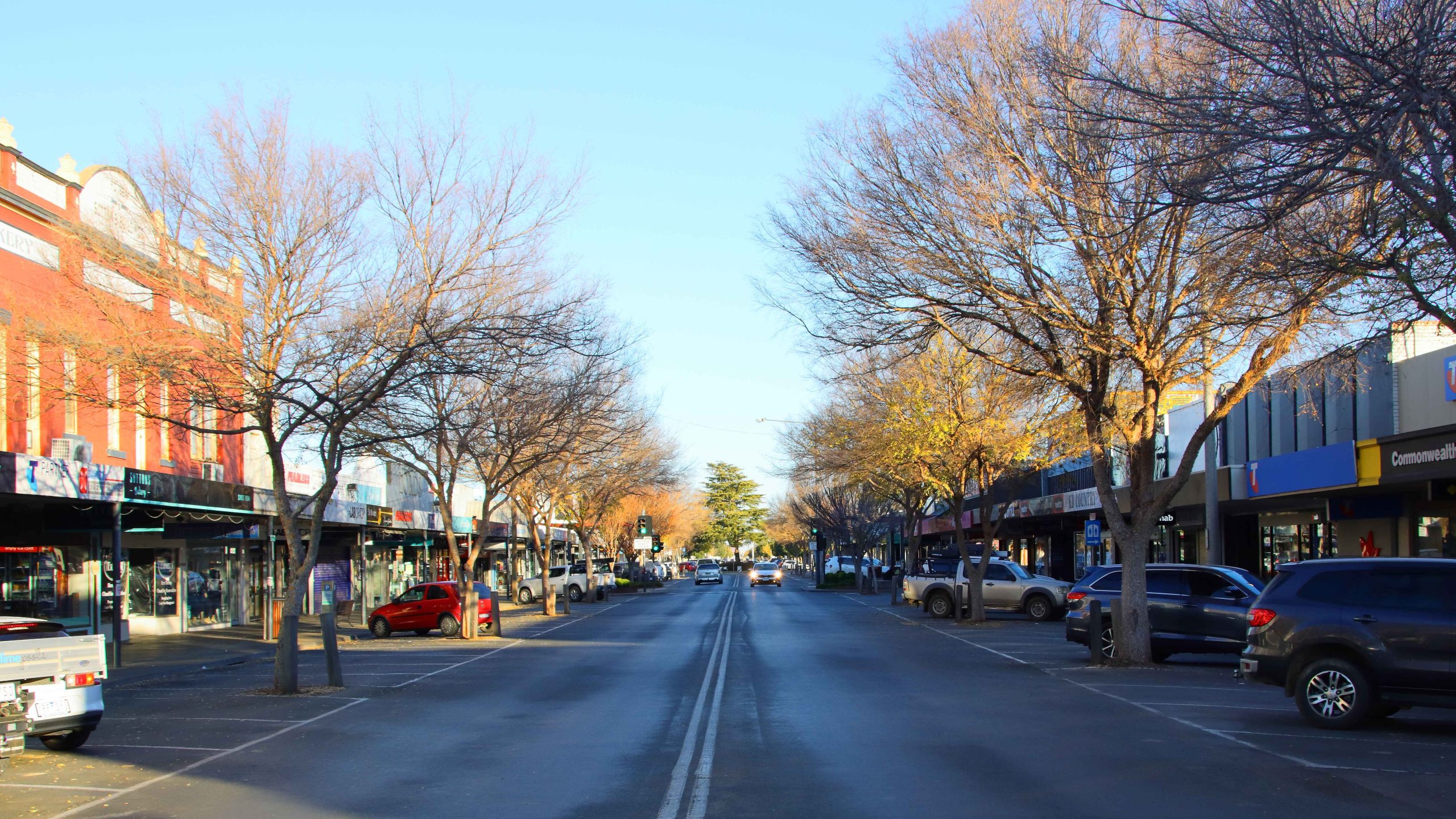
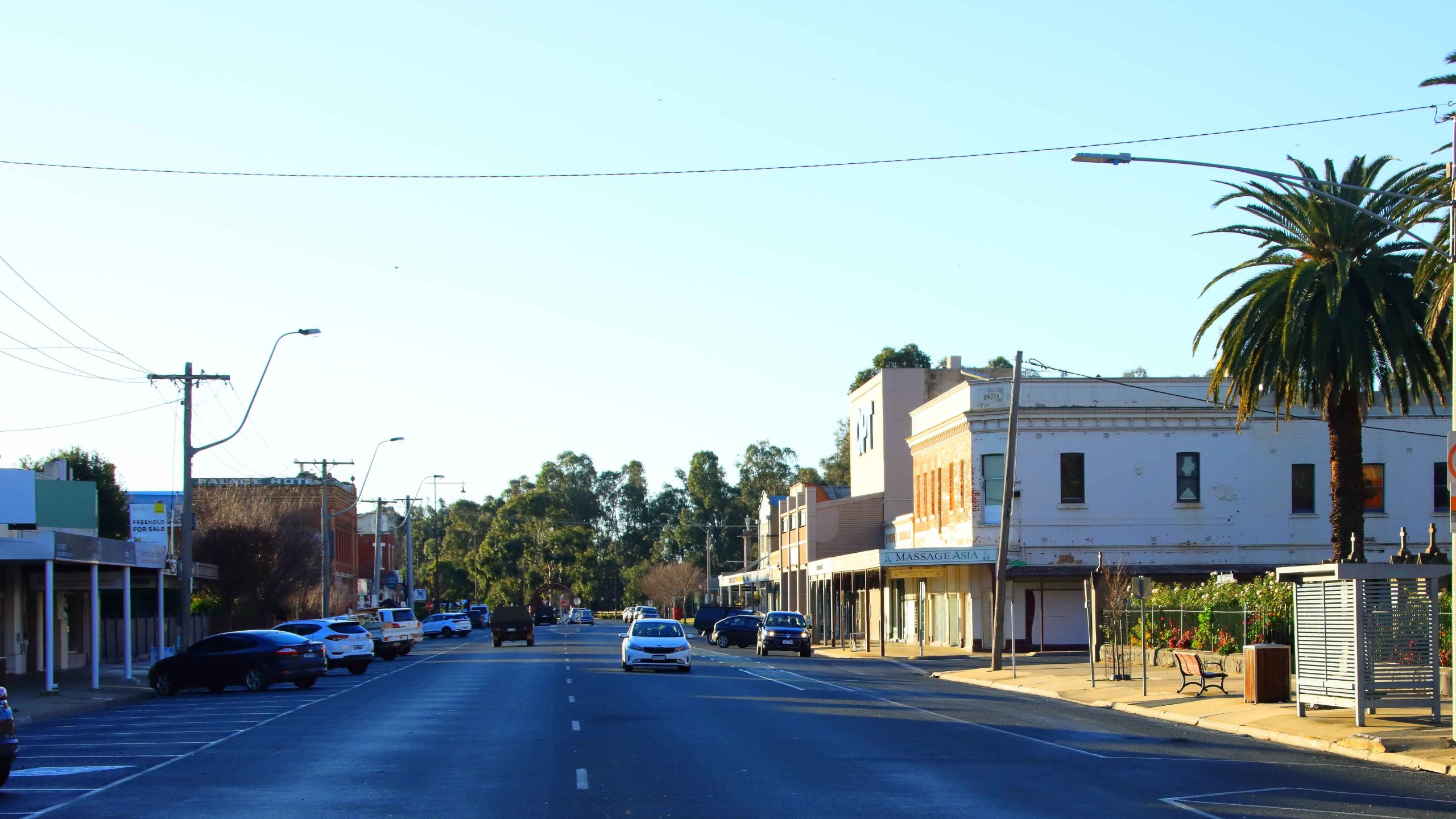
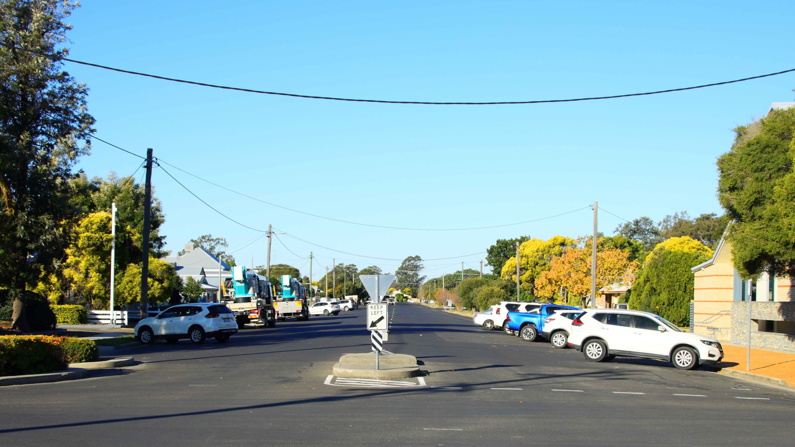
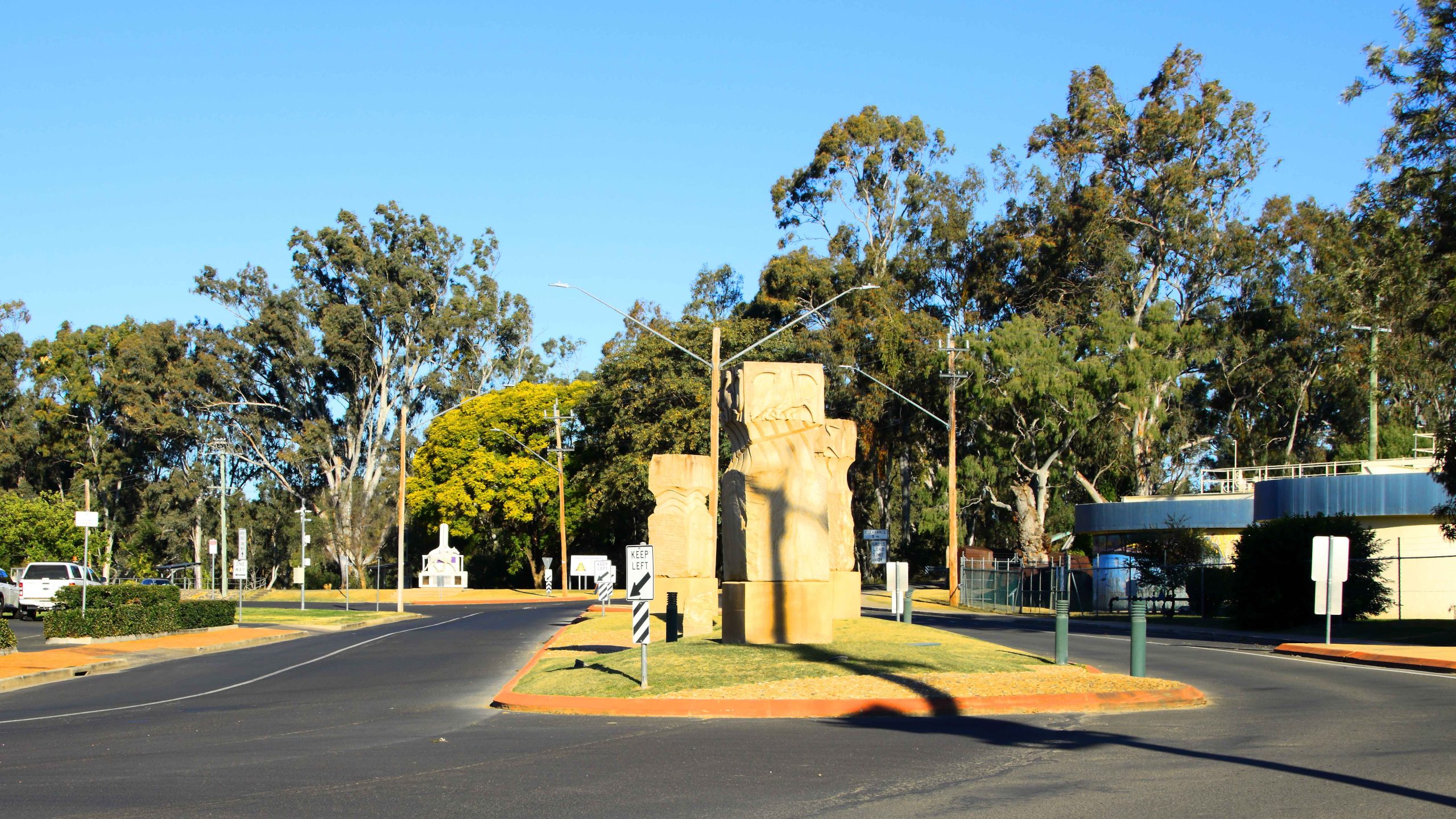
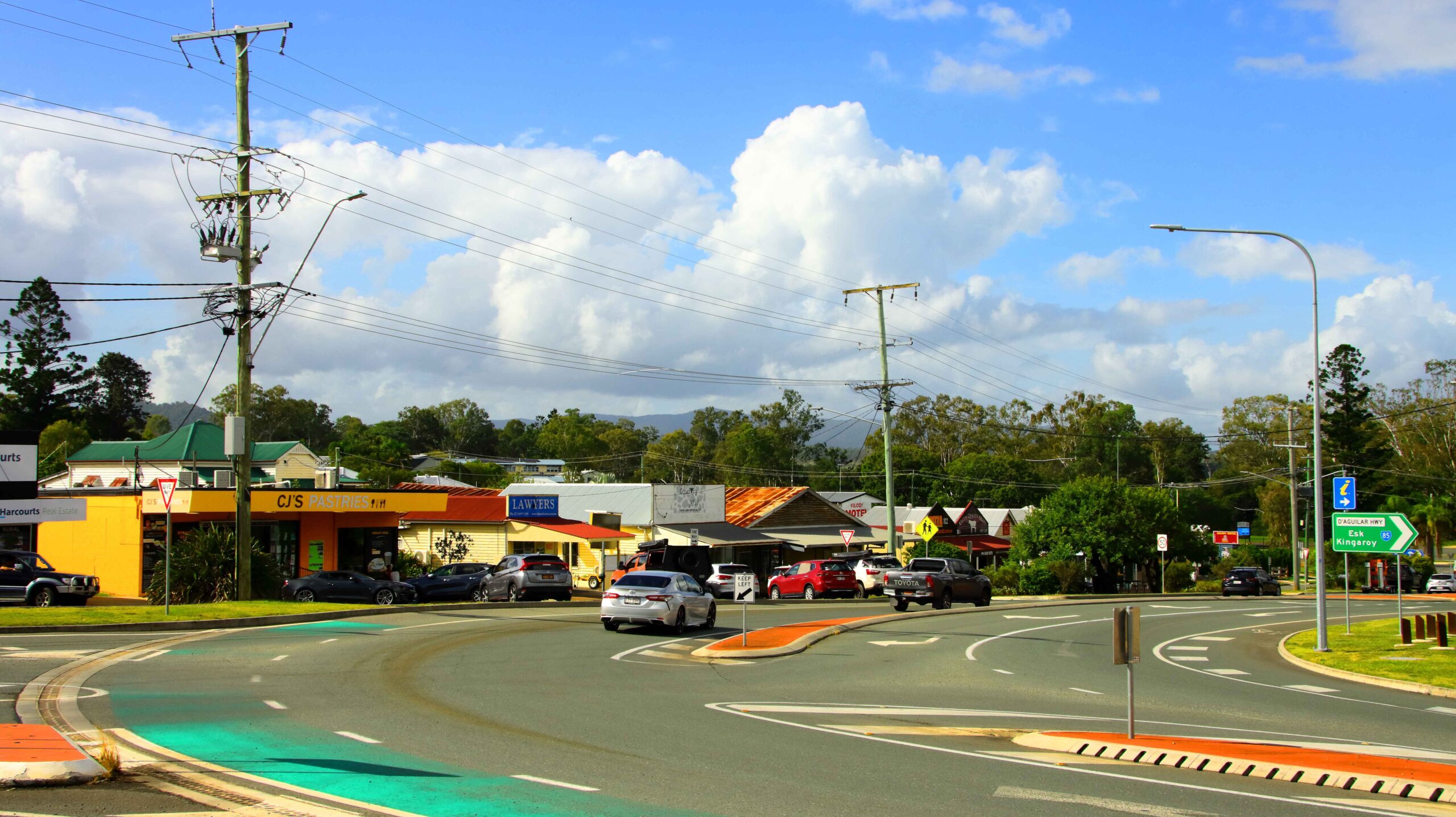
We continued our drive into Kilcoy, making a comfort stop at the newish facilities beside Kilcoy Creek and then drove the short distance to the eastern side of the town. We have eaten at the Kilcoy branch of CJ’s Pastries before, so went directly there for a quick lunch. We obviously made the same decision as many others, as the queue to place an order almost reached the back door.


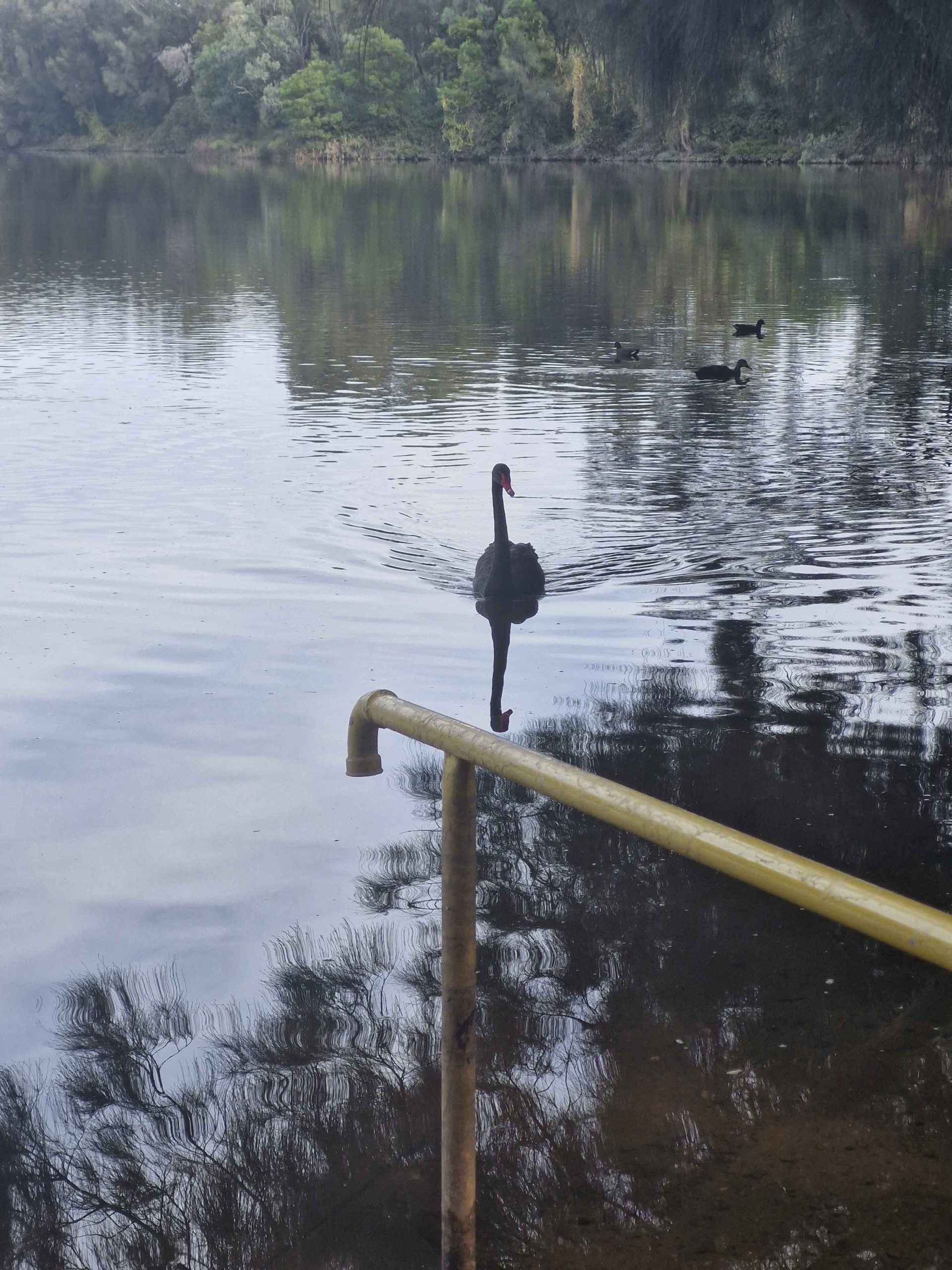
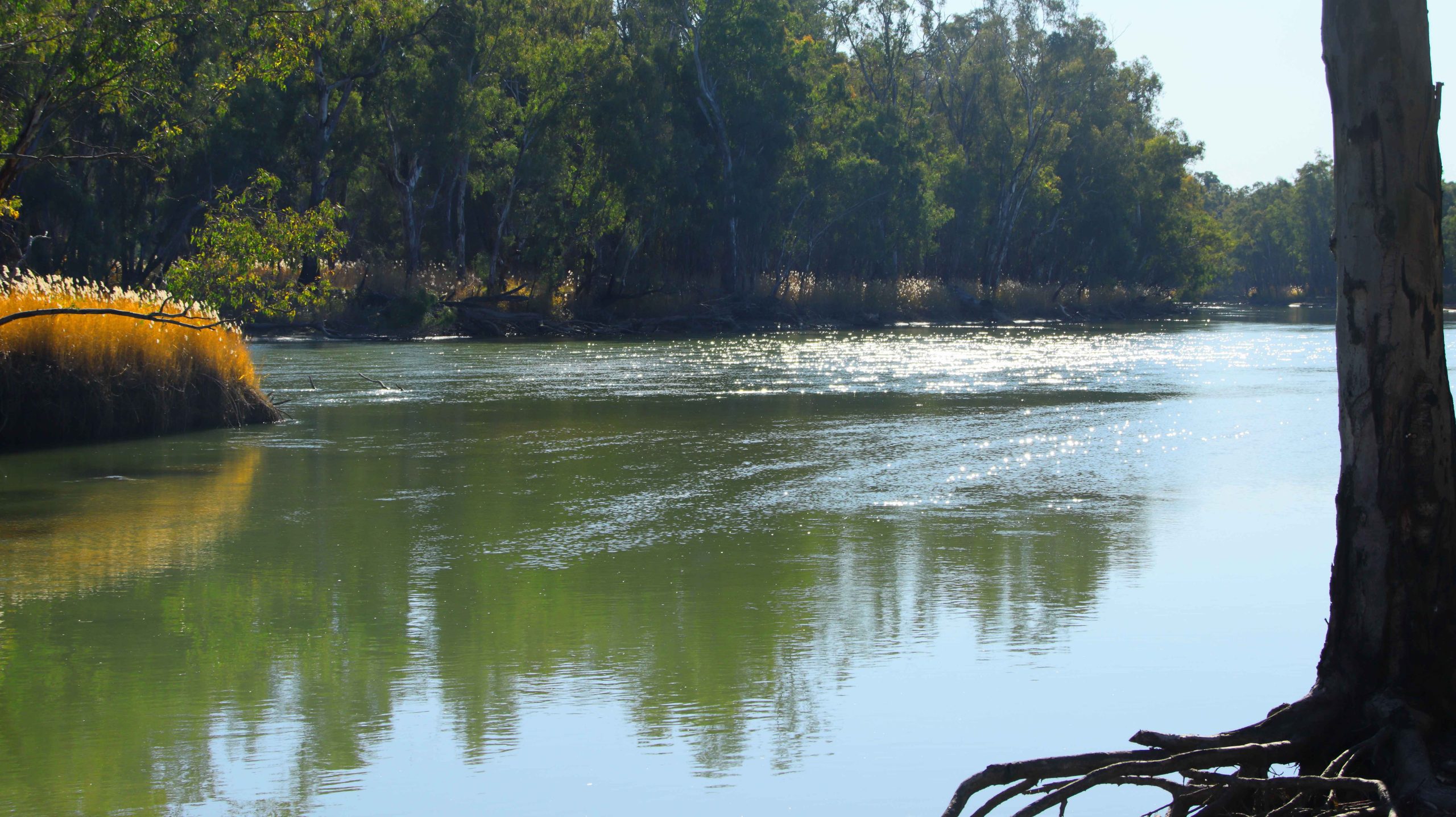
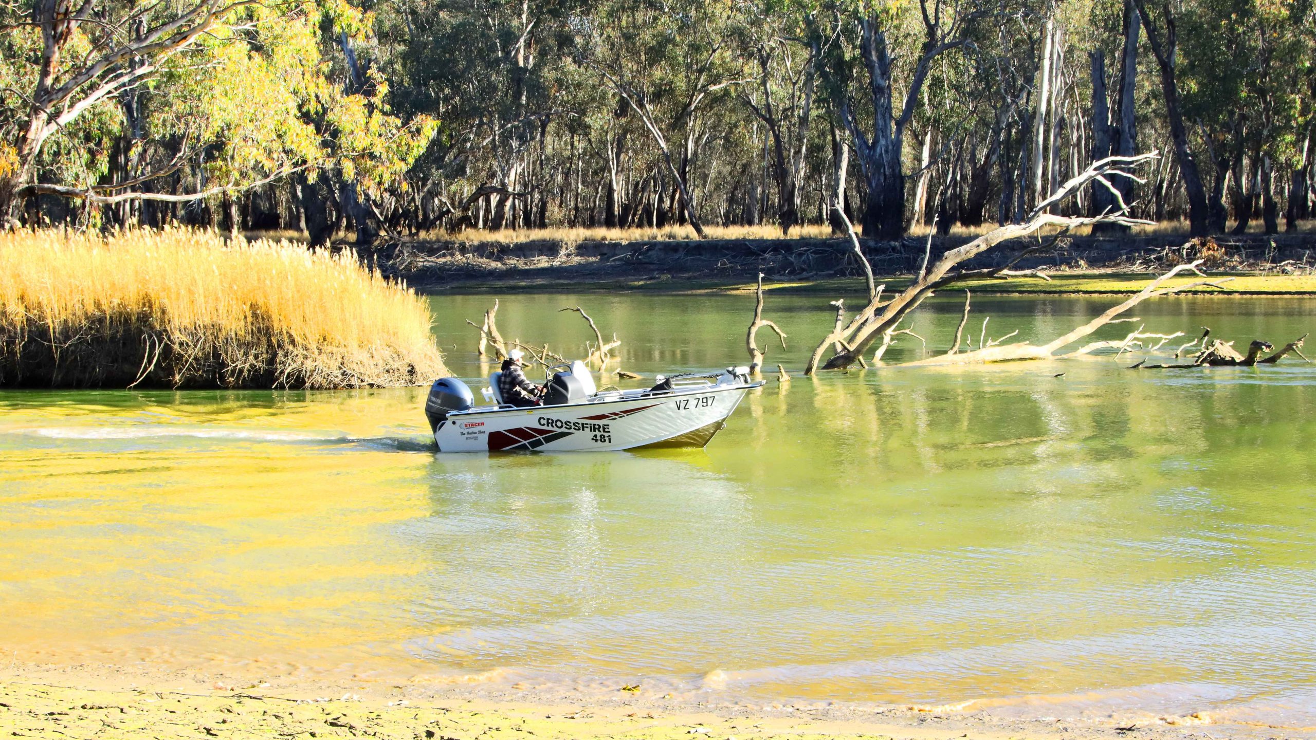
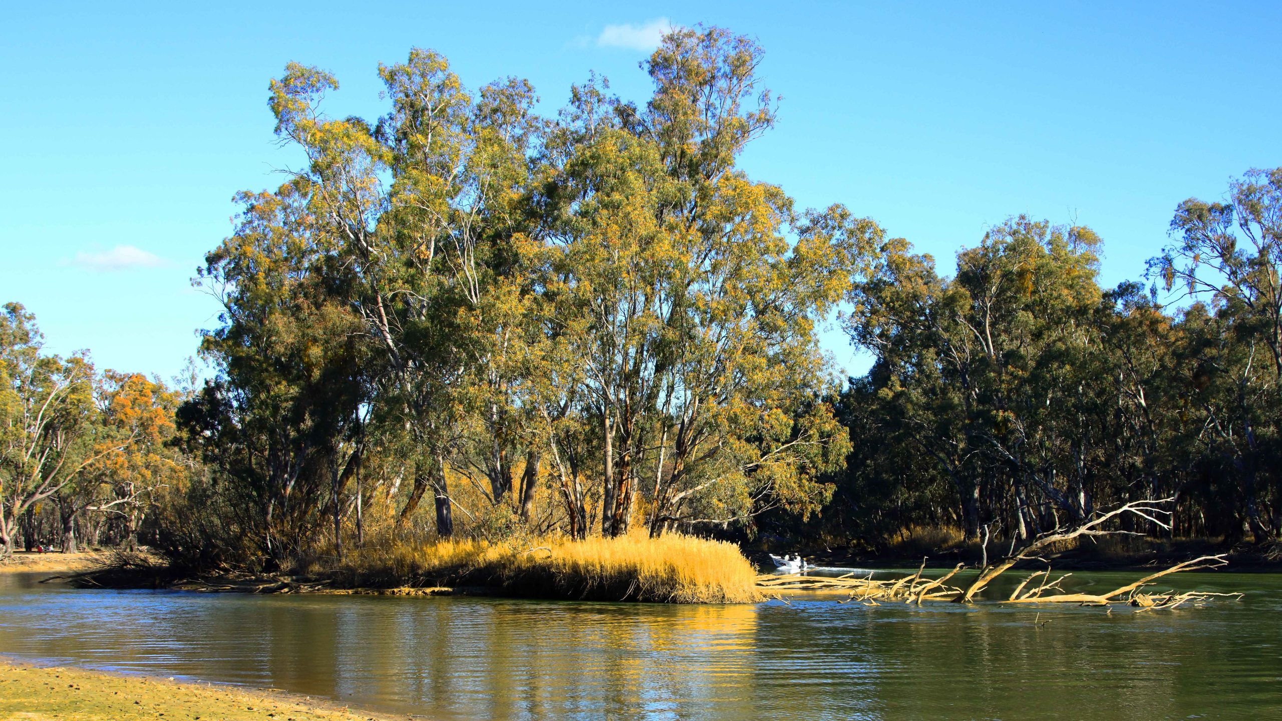
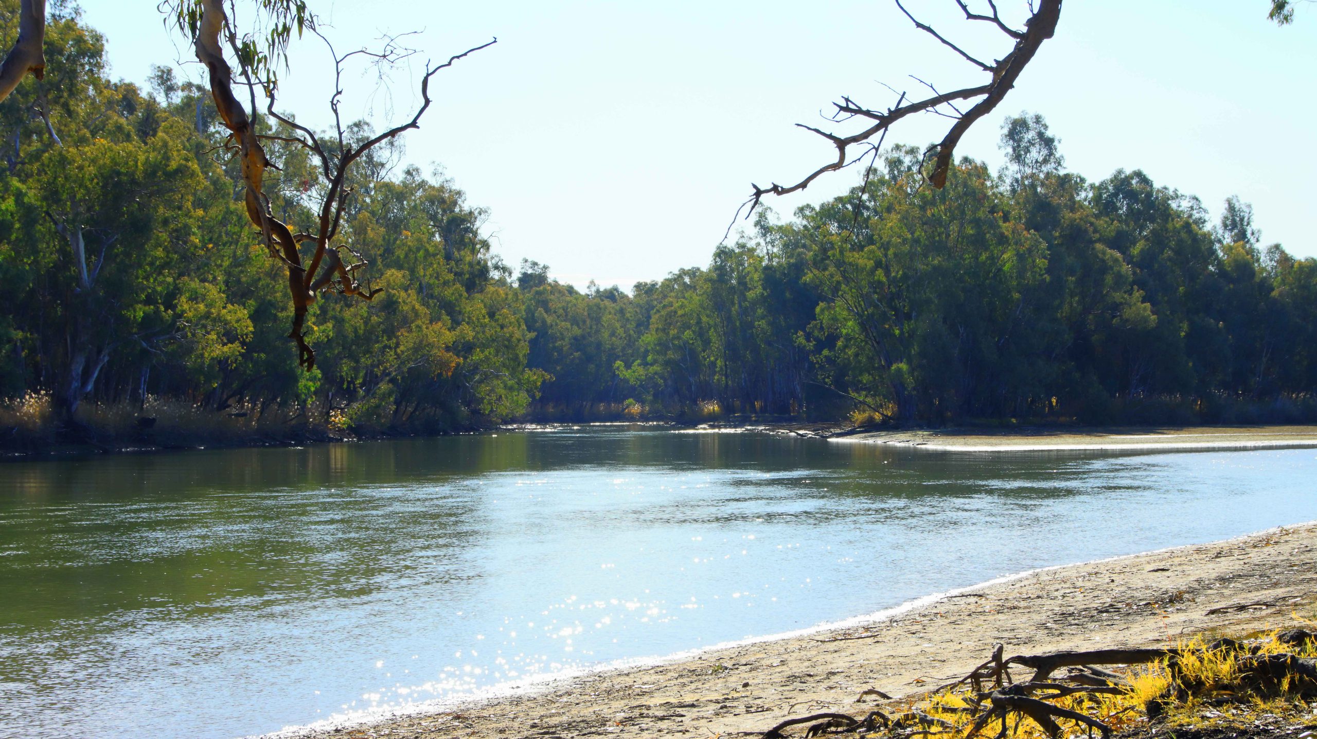
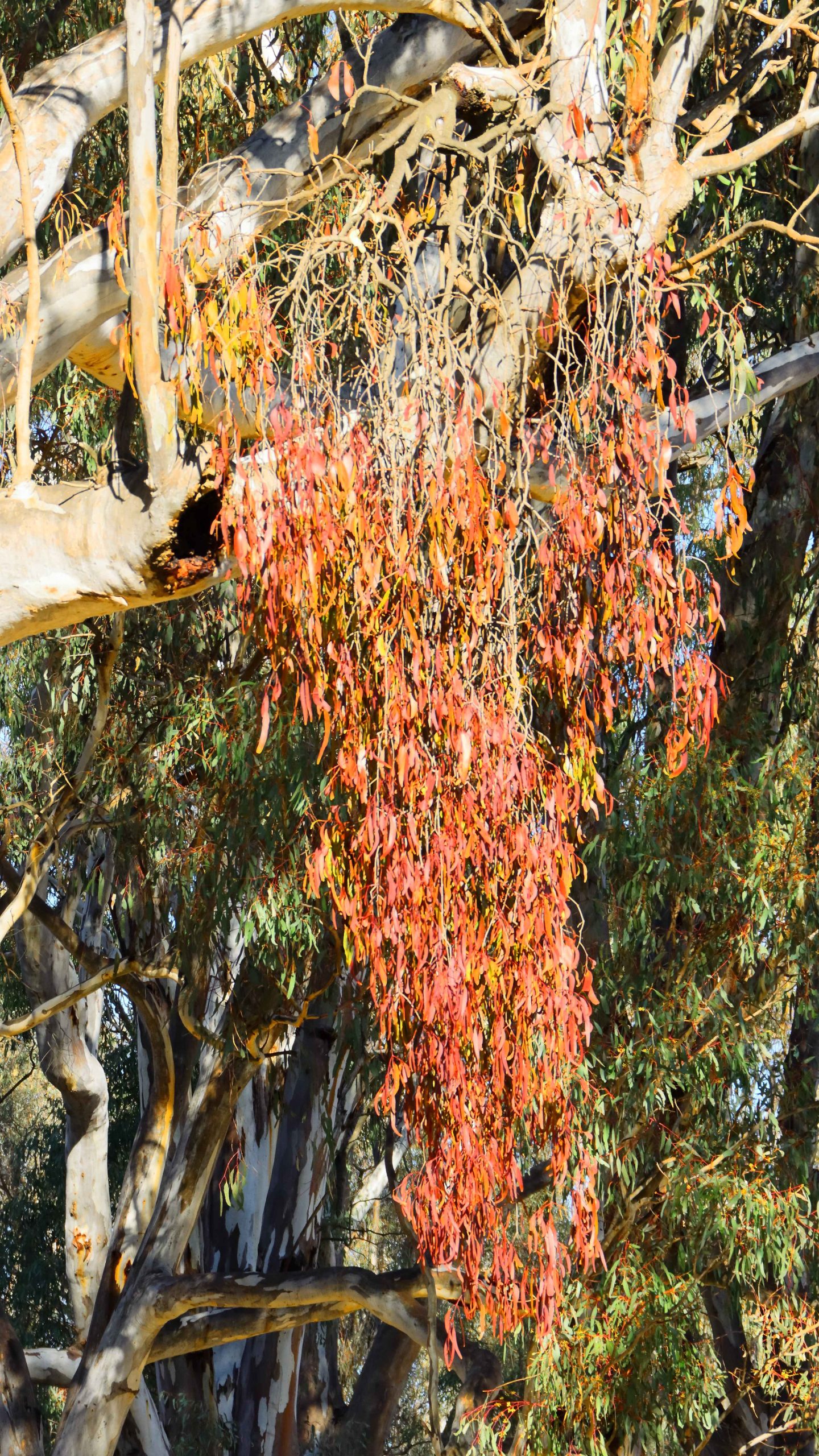
We left town via the D’Aguilar Highway, but turned left into Sandy Creek Road, which we followed until its intersection with Mary Smokes Creek Road. We then followed Mary Smokes Creek Road, following it back to the highway, stopping to take some photos at one of the road crossings of Sandy Creek.
Our drive home was among moderate traffic. But we did take the precaution of returning home via Caboolture, rather than chancing heavy traffic by returning to the Bruce Highway at Caboolture East.