We had planned to spend the last three nights at Kingscliff where our friends Jim & Frances Weir are currently ensconced, along with three other couples who we have got to know during our visits there. But it was not to be. The Surf Lifesaving folk had decided to hold a Nippers carnival at the Kingscliff SLC so the caravan park was booked out.
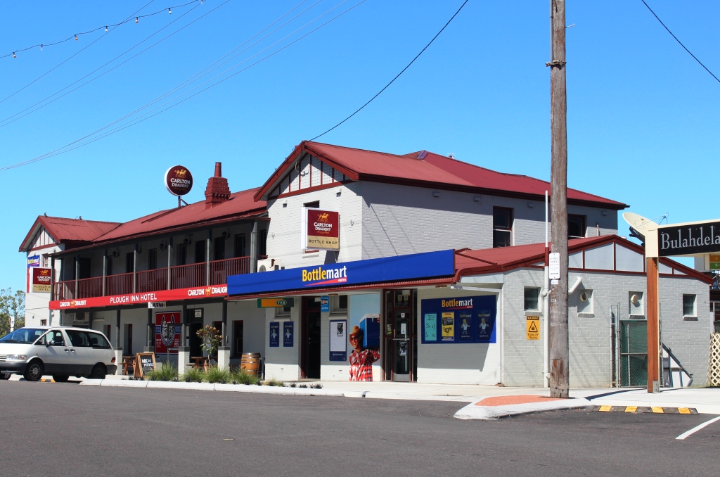
Ruth’s younger sister Kathy and her husband Barry have recently settled in the small town of Townsend which is located to the east of the highway adjacent to Maclean. We had arranged to call and had received an invitation to lunch.
We had packed up in rain at Coffs Harbour but the weather had improved to overcast at Townsend. If it had still been raining we probably would have, after lunch, kept on directly to home. We decided to continue along the road through Townsend to the coastal settlement of Brooms Head where we knew there was a caravan park.

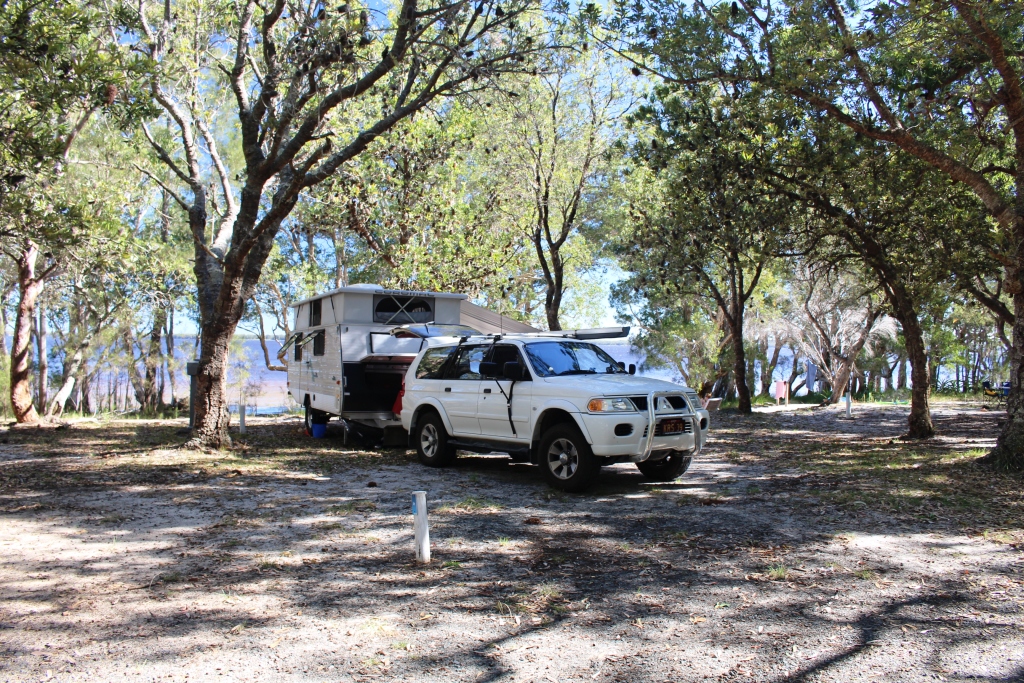
Lower area at Brooms head Caravan Park.
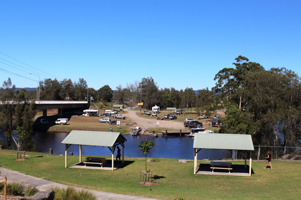
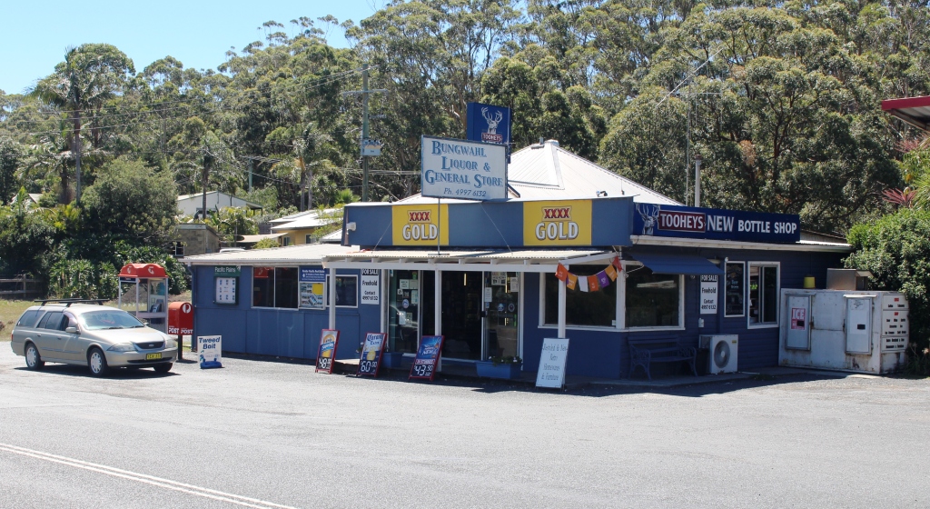
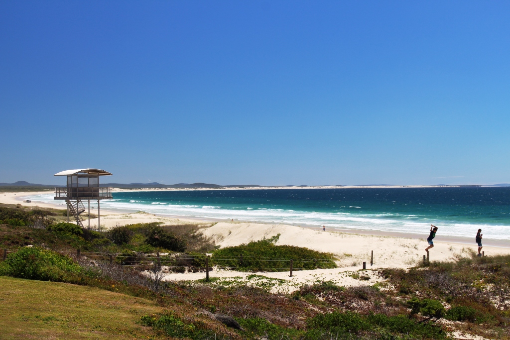
Caravan parks are frequently in towns. Brooms Head is almost a town in a caravan park. The park stretches 1.5 km along the beach and includes part of a hill on which there are van sights with excellent views. The remainder of the town is comprised of houses, mostly holiday rental and the Brooms head general store.

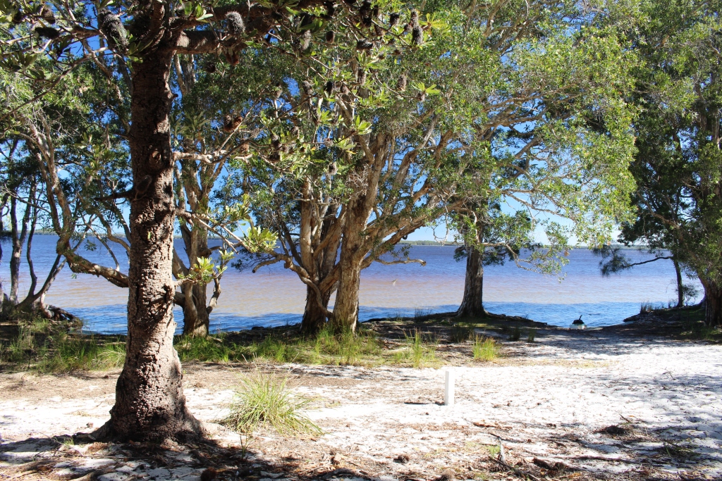
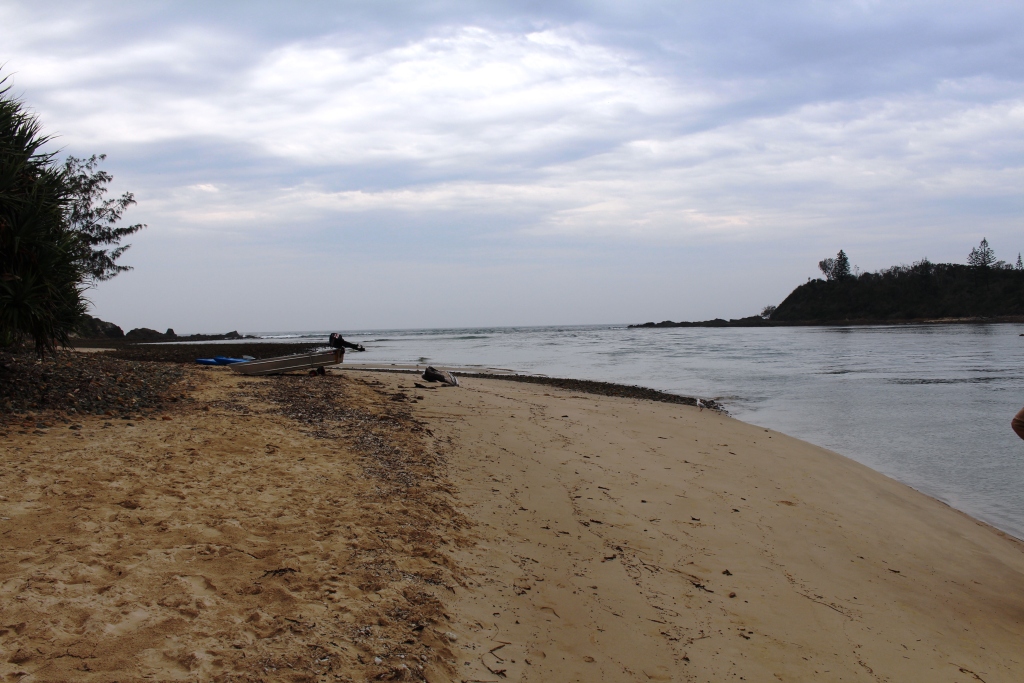
The day area at Brooms head beach
High winds were forecast so we acquired a site in the lower area, in behind the sand dune that runs the length of the beach. As it turned out the winds did not reach predicted strength so we have had a comfortable stay.
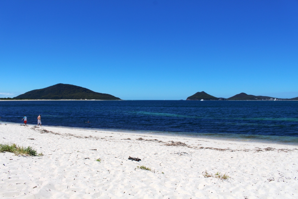
The attractions here are the beach and fishing. The other points of interest are Sandon River to the south and Red Cliff to the north.
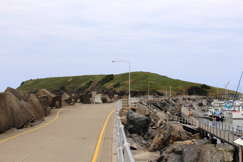
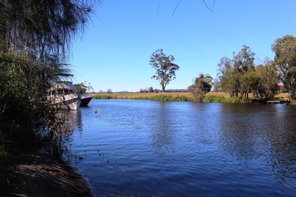
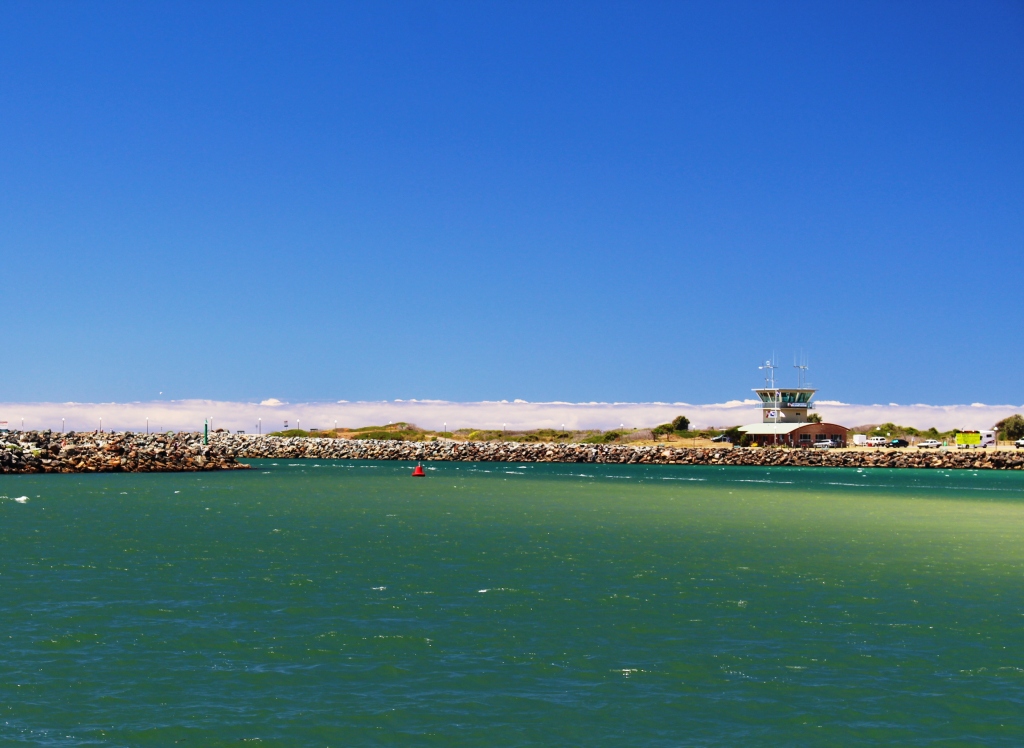
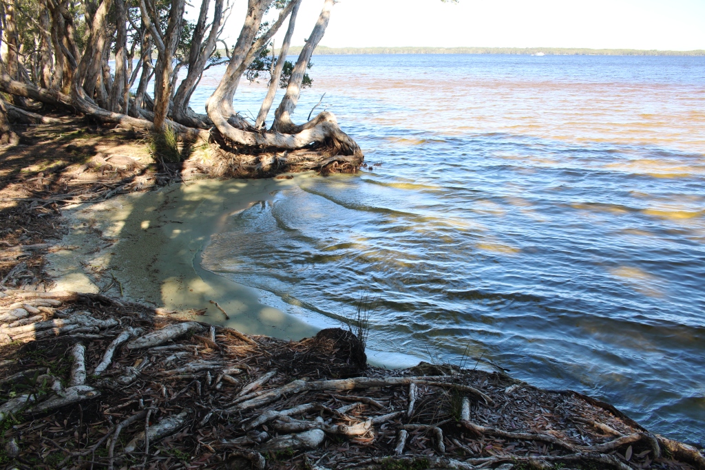
The mouth of the Sandon River
Both are fishing locations with camping facilities within the Yuraygir National Park. Surprisingly both camping areas were almost full of caravans and tents.
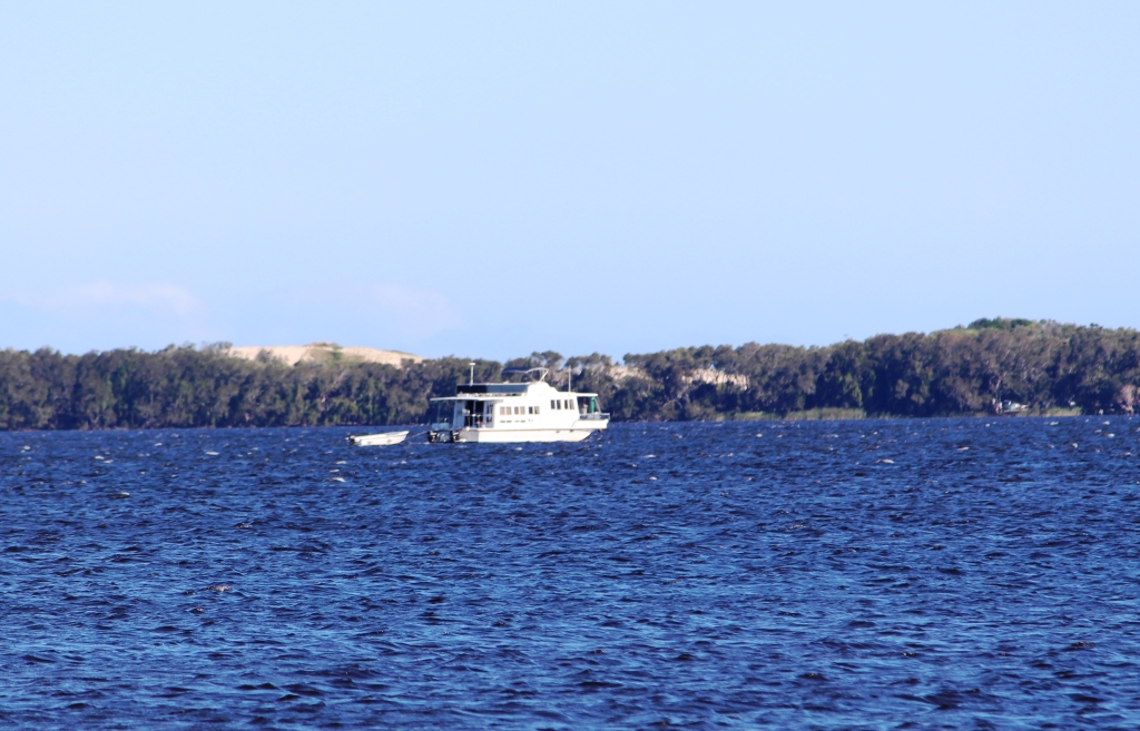
Sandon has a private enclave within the national park, with a few old fishing shacks. The river is quite broad, has good boat access
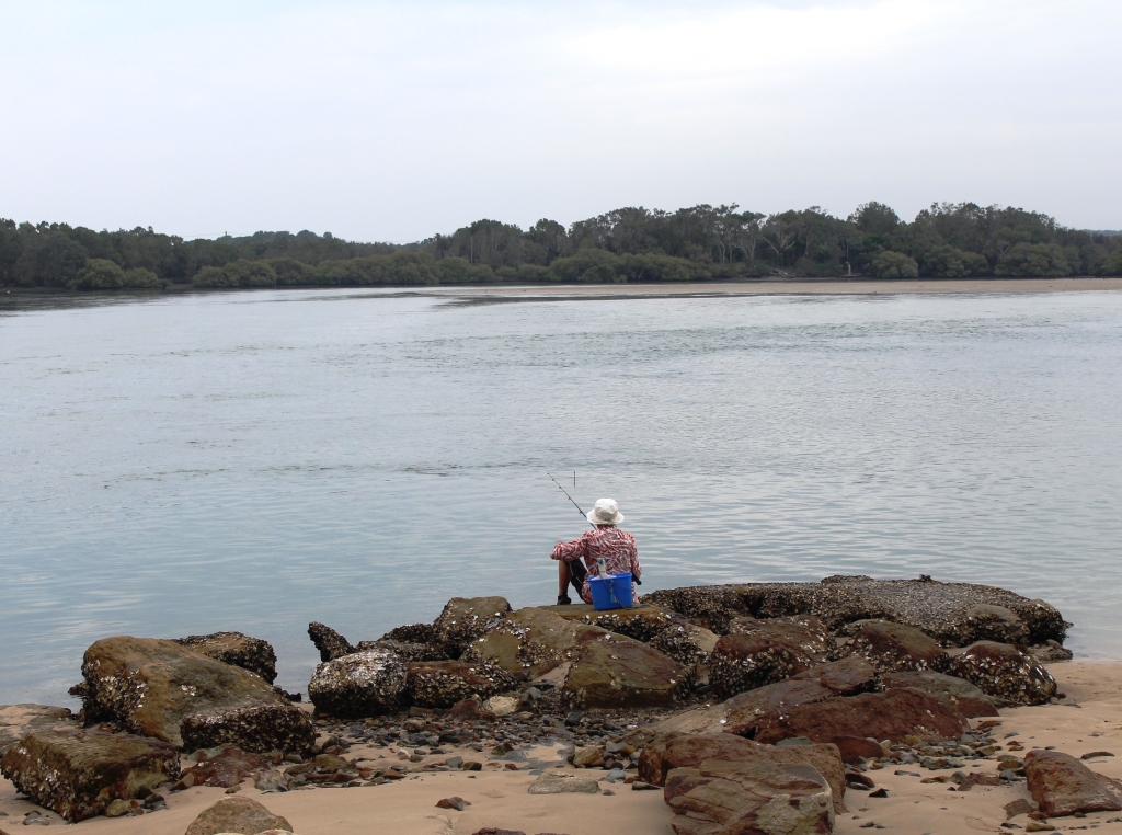
A lone fisherman at Sandon River
and was the sight of much fishing activity. The vegetation is typical of the low coastal areas on this part of the coast. It is about 10 km from Brooms Head.
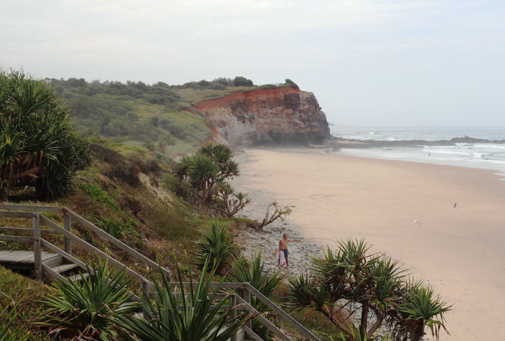
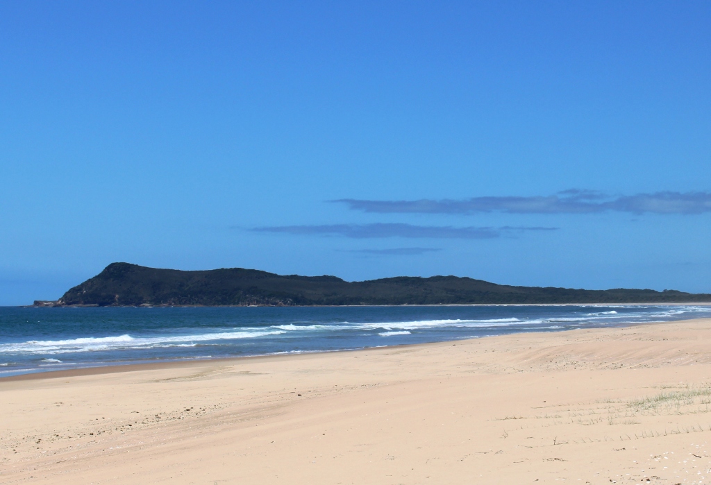
Red Cliff headland
Red Cliff is, as its name suggests, a red cliff in the form of a headland that stands above the beach just north of Brooms Head. A National Parks provided camping area stretches along the hills behind the headland. The area is partly open and partly vegetated with camp sites cut back into the scrub to provide semi private accommodation. The area is
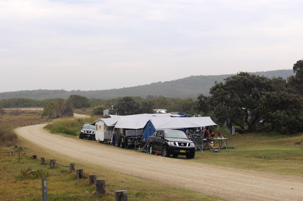
A group camping at Red Cliff
popular with kangaroos as well as with people. Several tame specimens were quietly grazing, mostly ignoring the humans.
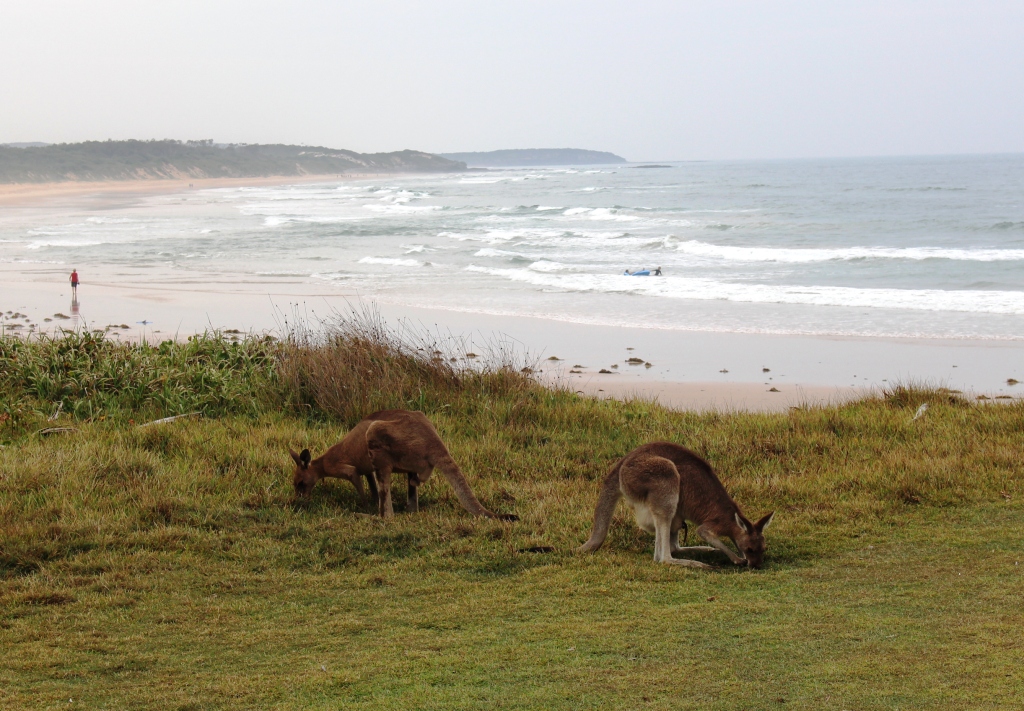
Roos grazing at Red Cliff
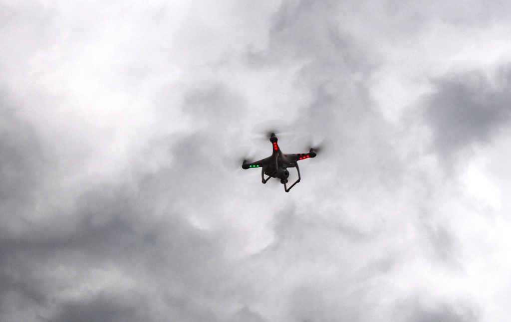
Buzzed from above!
In the cool of the evening we walked along the beach to the other part of the caravan park. On the hill above the beach we could see a group of young blokes all looking down at the beach. We could hear a buzzing noise and looked up to see ourselves being buzzed by a radio controlled drone. We waved it its camera and the group waved back. We are

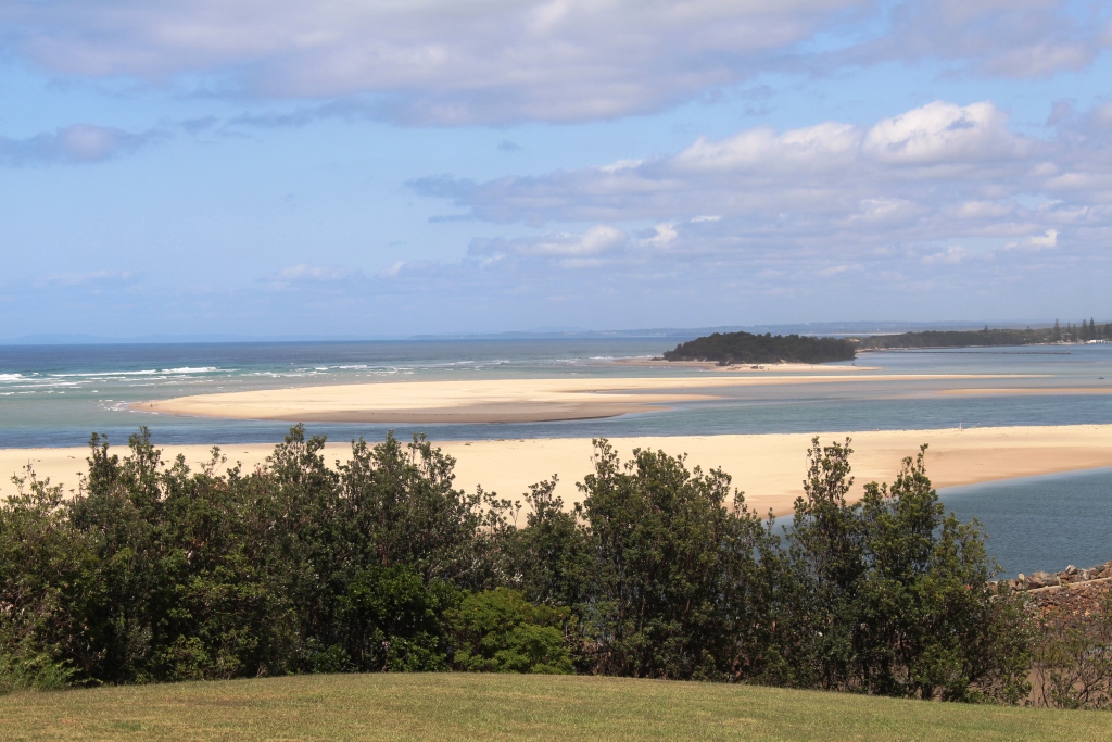
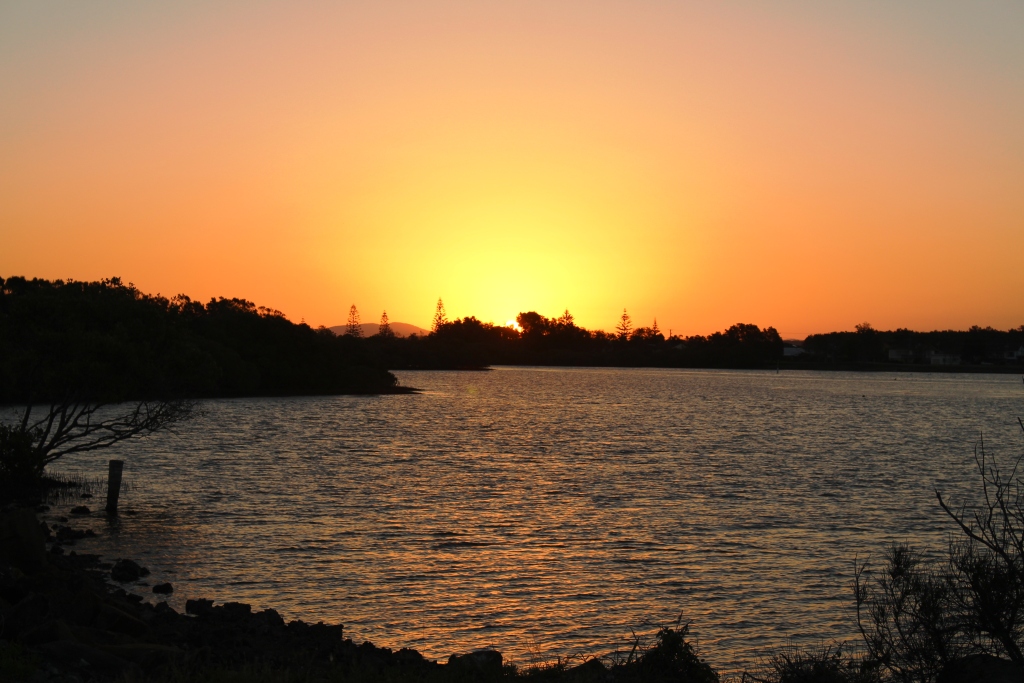
Brooms Head at low tide
always happy to help with the entertainment!
The following morning we travelled to Kingscliff near Tweed Heads where we spent the last night of the trip. With the Nippers carnival complete we were able to find a site for one night.. This is familiar ground so no need for photos.
After spending the night at Kingscliff, we arrived home at about midday on 17th February. On 18th Ruth saw her orthopaedic surgeon, who has given her clean bill on her knee. Her next visit is in 9 months time. On 19th, Eldest daughter Karen arrived from her stay in Tasmania to spend a month with us before returning to India. After a short stay at her India home she is off to USA for several weeks in conjunction with her work in India.
So here ends the current series of blog posts. We will keep you advised about future travel.
Until then Ruth joins me in extending our best wishes to all readers.
Kevin