Three Days at Golden Beach

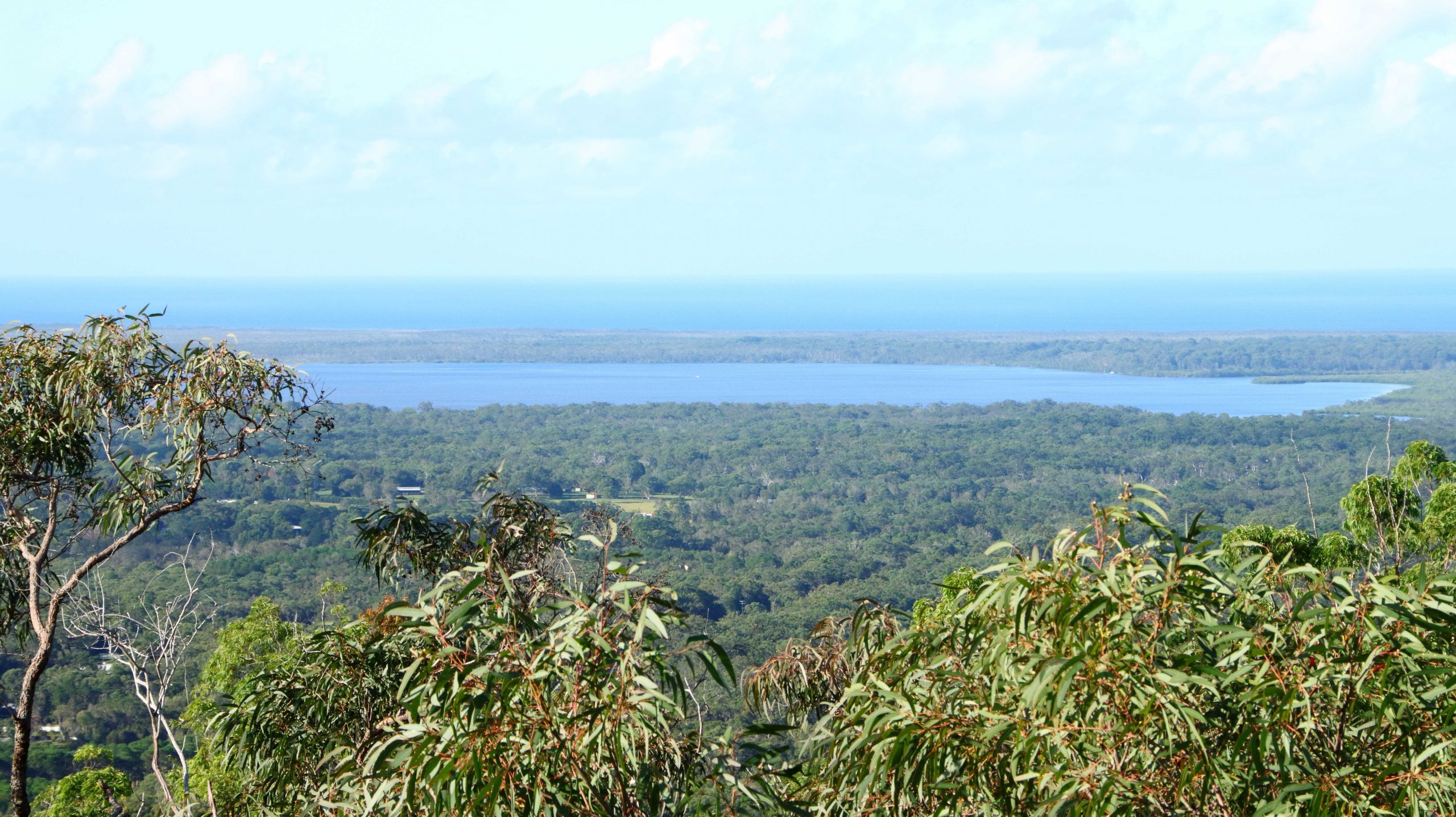
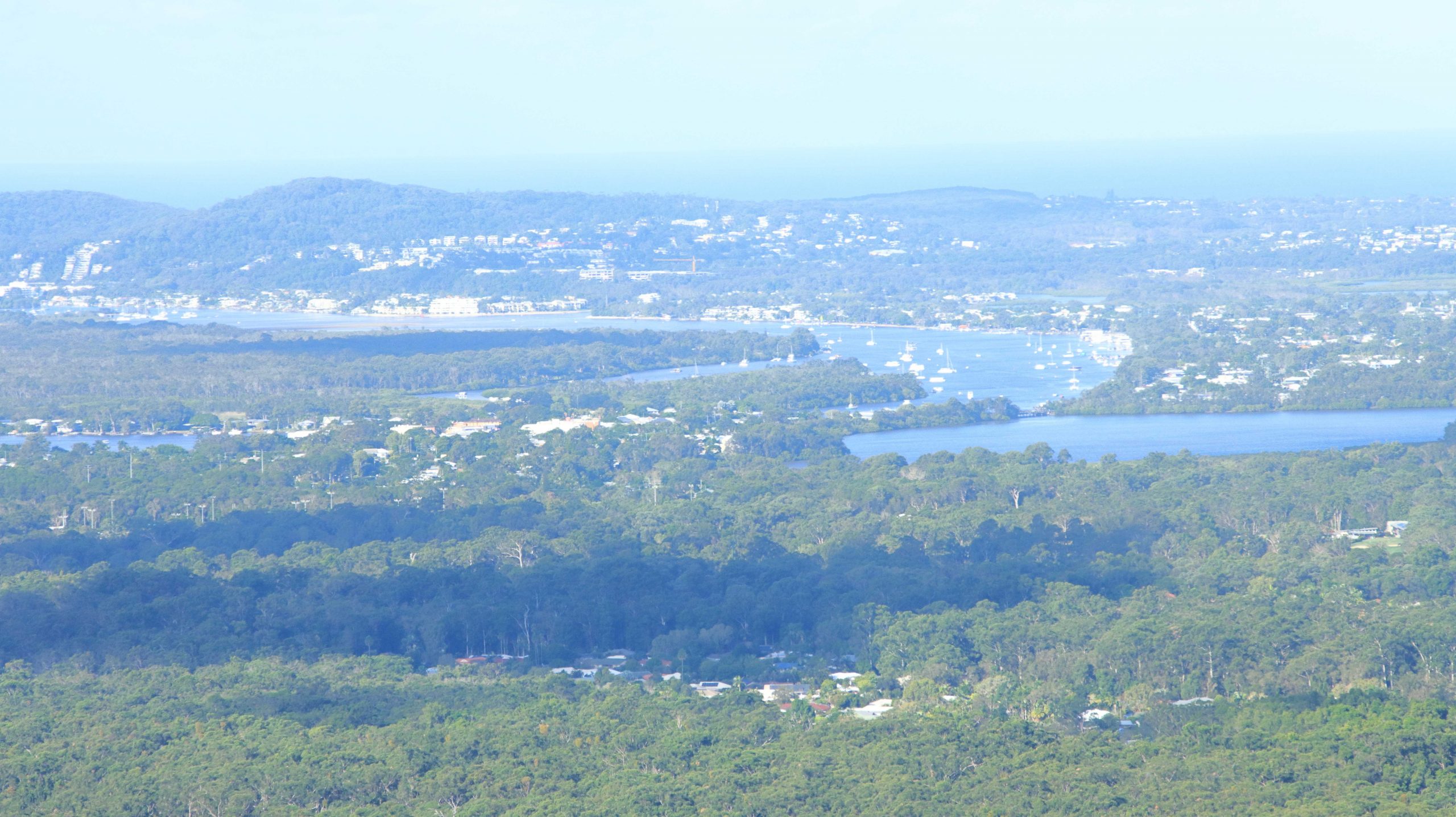
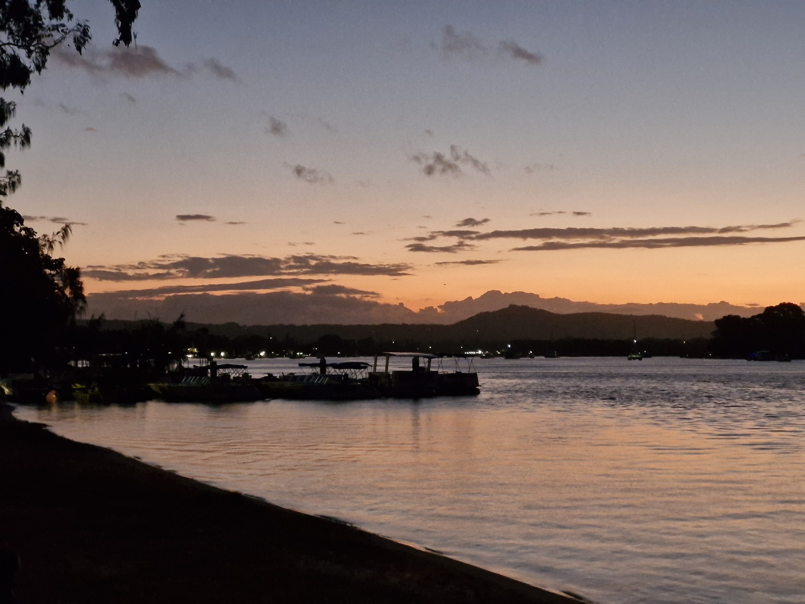
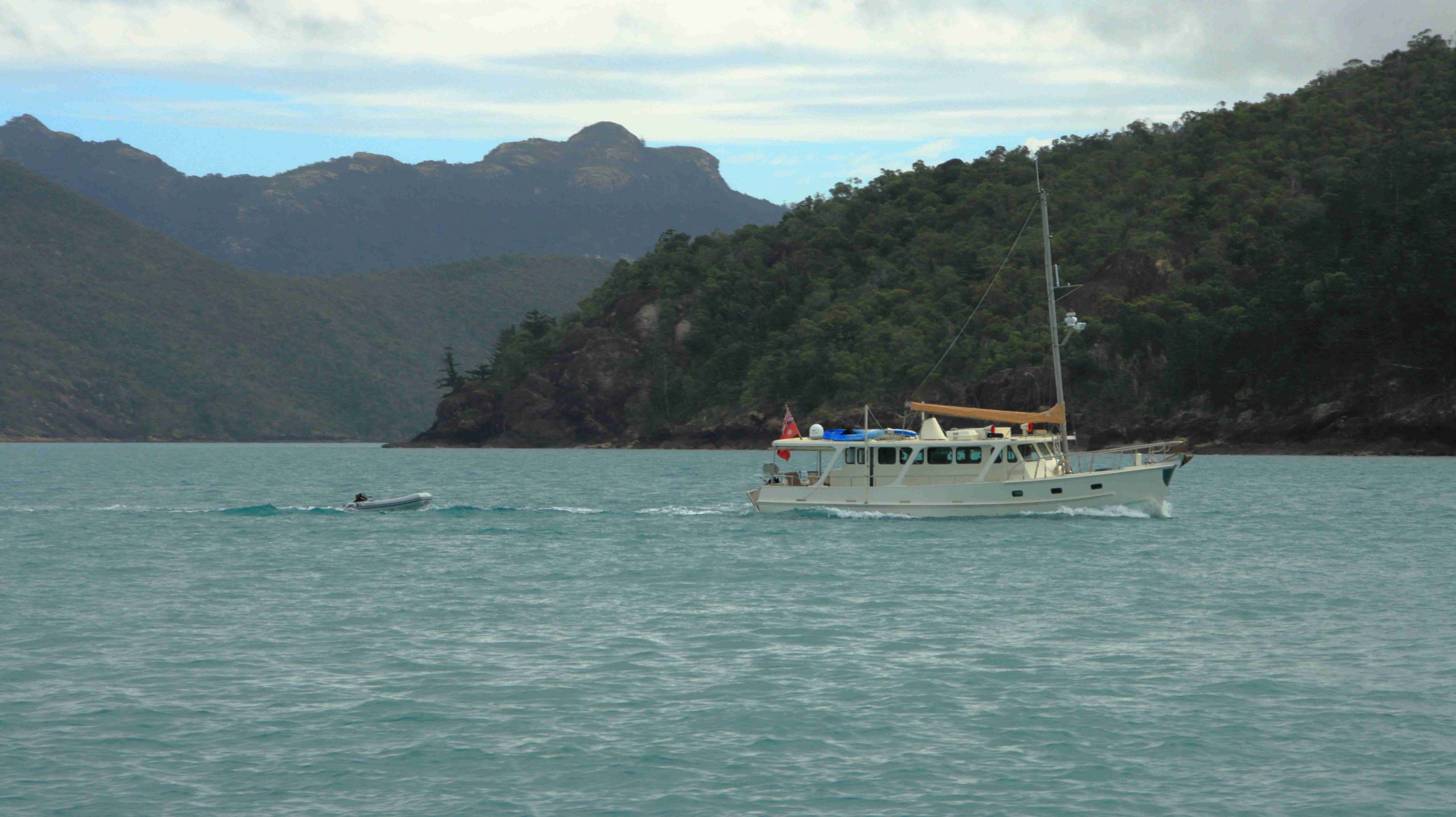
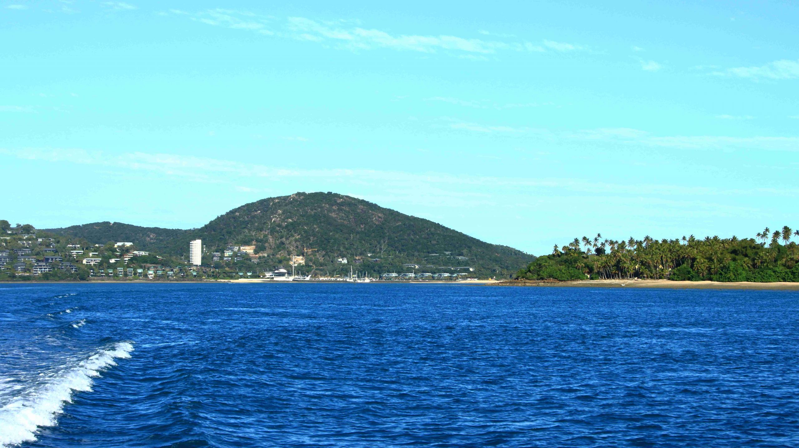
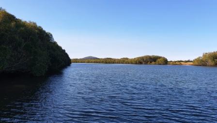
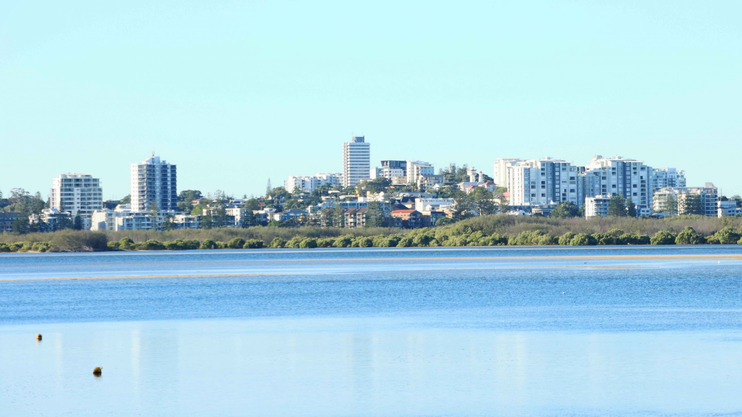
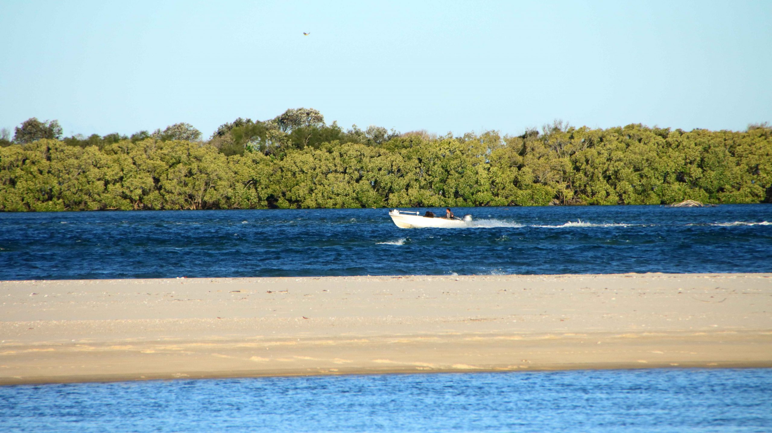
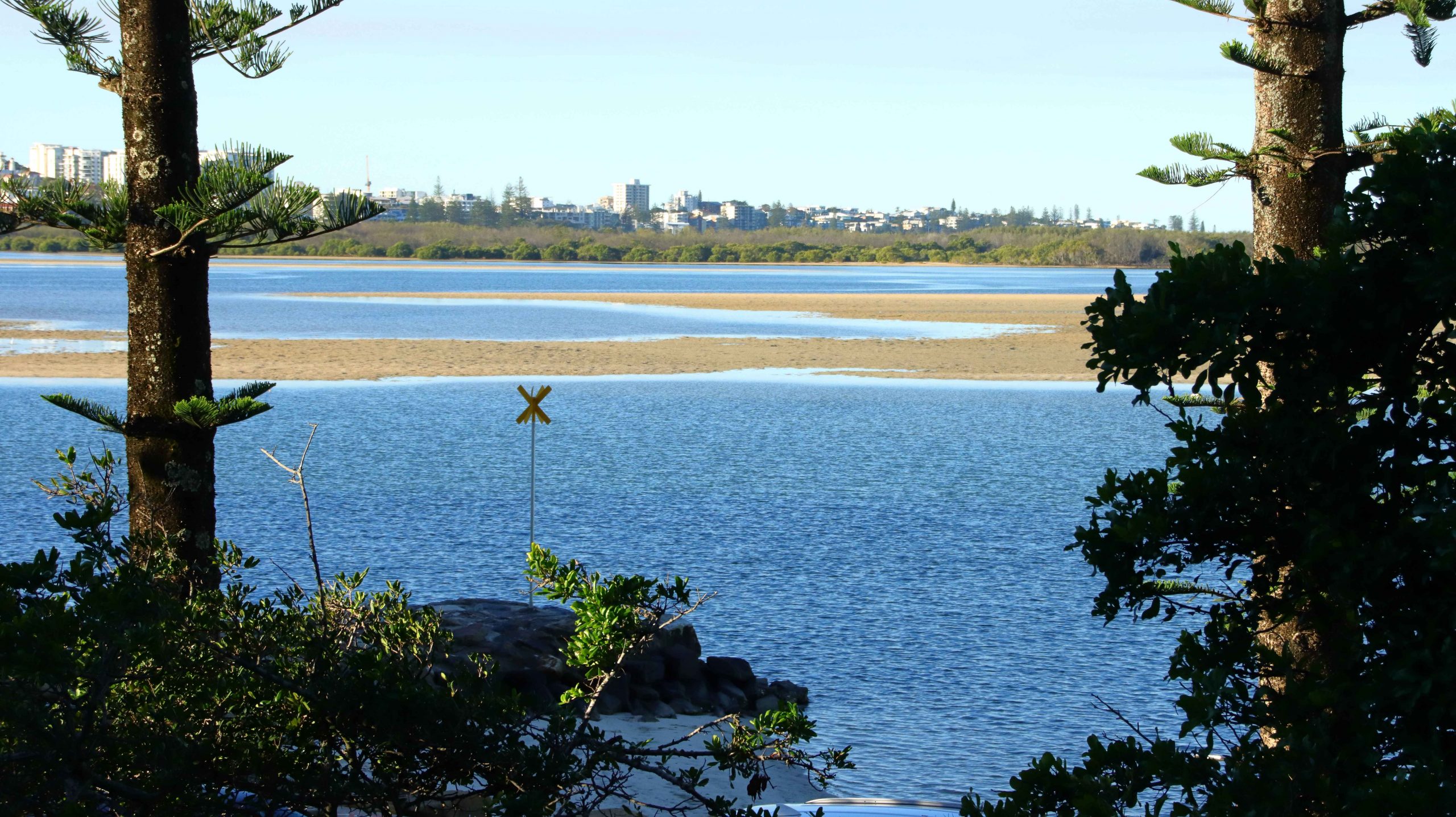
Our son and daughter-in-law kindly gave Ruth and I a short break at a time share resort at Golden Beach, near Caloundra Queensland. The Ramada Resort is located right on the shores of Pumicestone Passage, opposite the recent break through by the ocean of the narrow peninsula that is North Bribie Island, thus creating a new passage. This change has greatly improved the view of shipping moving to and from the Port of Brisbane.

Caloundra from Golden Beach
Passing boat
Pelicans on the Beach

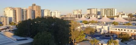
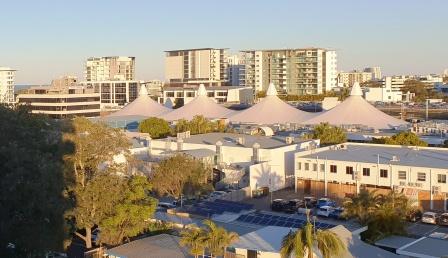
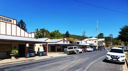
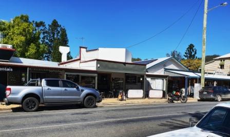
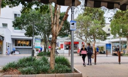
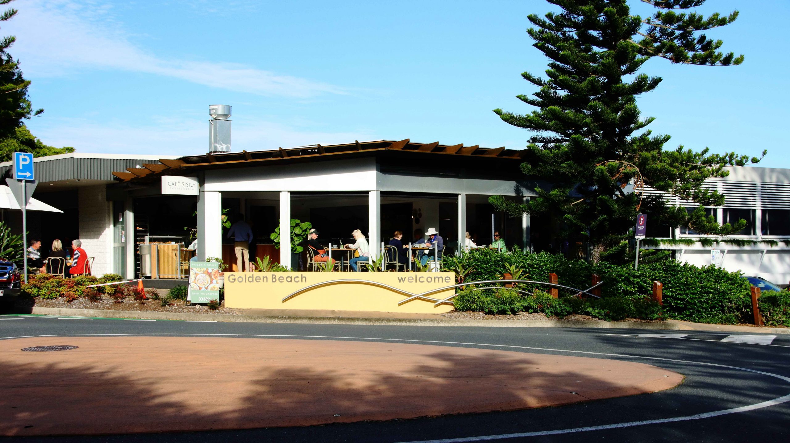
Golden Beach is a suburb of Caloundra, situated a couple of kilometres to the Southwest of the main business and tourist centre. It is a precinct of medium high rise, with apartment buildings rising to about 10 floors. The commercial centre has support businesses including pharmacies, real estate agents, hairdressers and restaurants, cafes and coffee shops. It gets quite busy, particularly to and including lunch time.

Moored dinghys

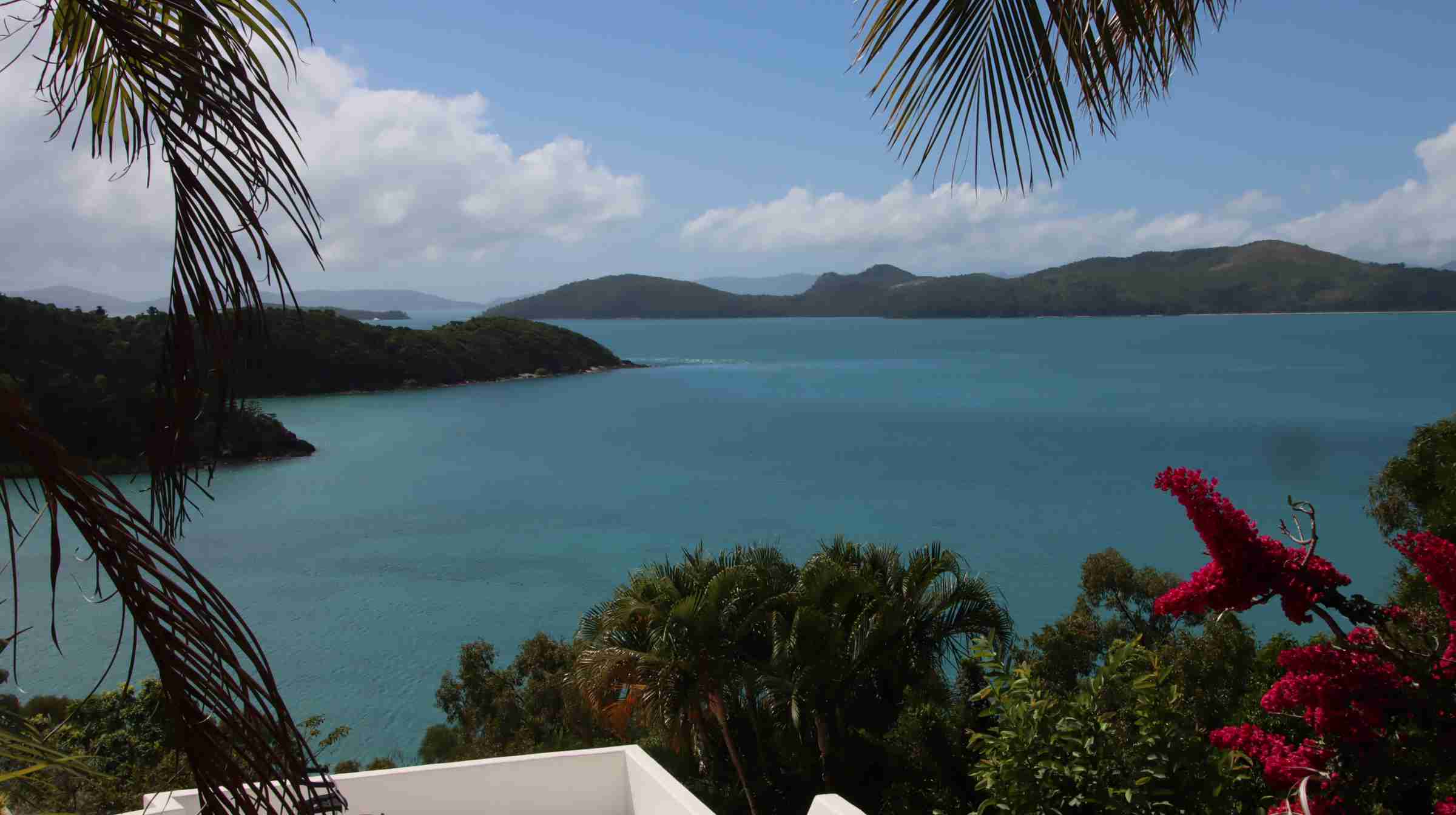
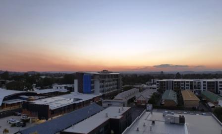
We arrived at the resort late morning and went through the arrival procedure. Our room, on the second floor, provided fine views of Pumicestone Passage and the waters of North Moreton Bay. The welcome included coffee.

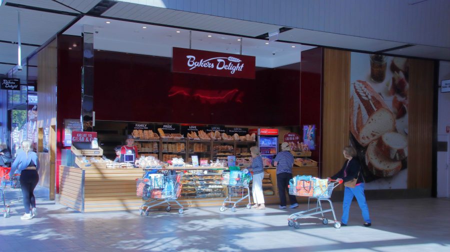
There is normally a bit of shopping to be done when you settle into a resort, so we visited the nearest shopping mall to deal with that problem, made more vital as I had forgotten to pack my pajamas. We returned to our room for a leisurely afternoon.

Just Trees
Pelicans were always in view
Black-winged Stilt

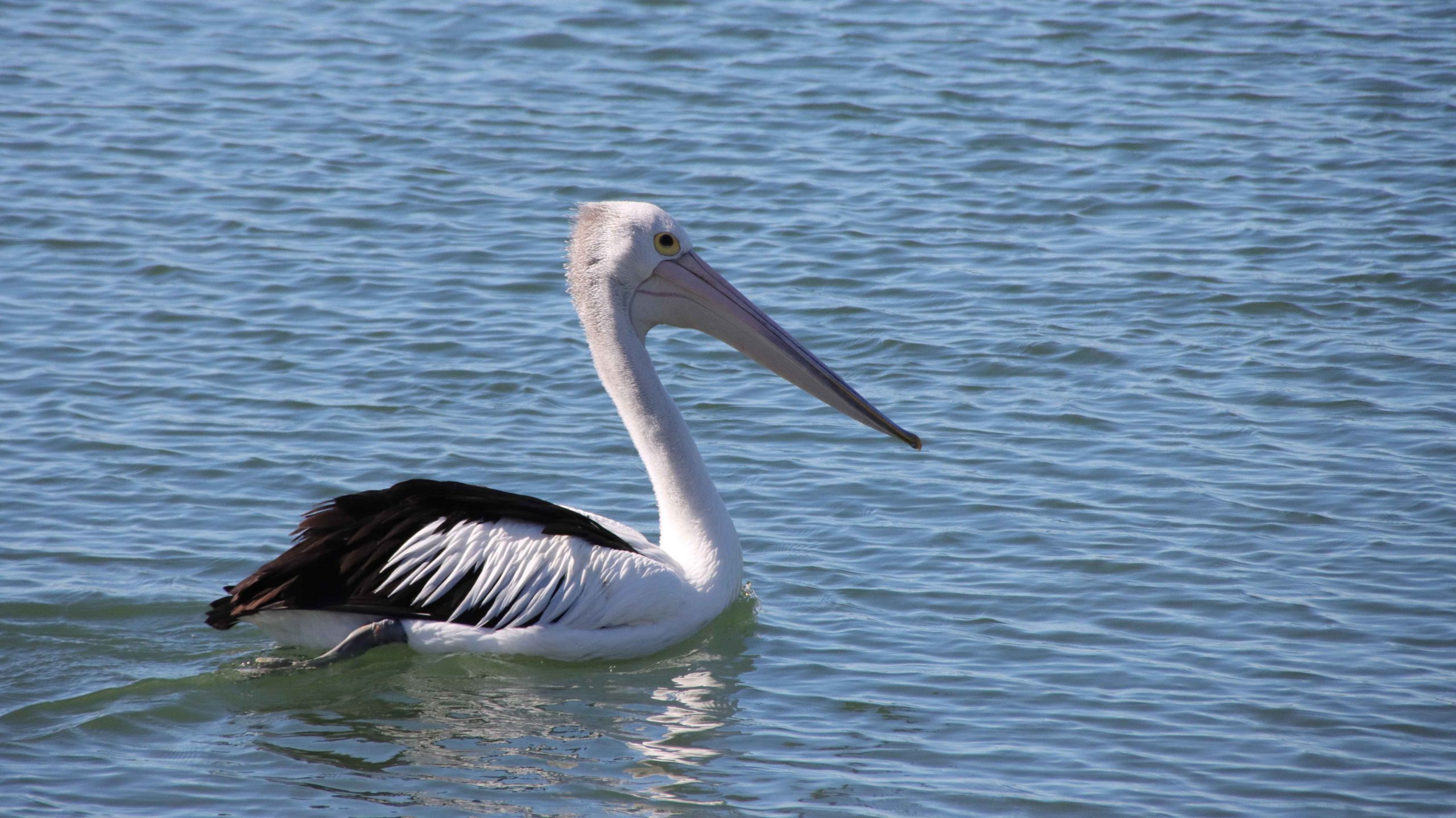
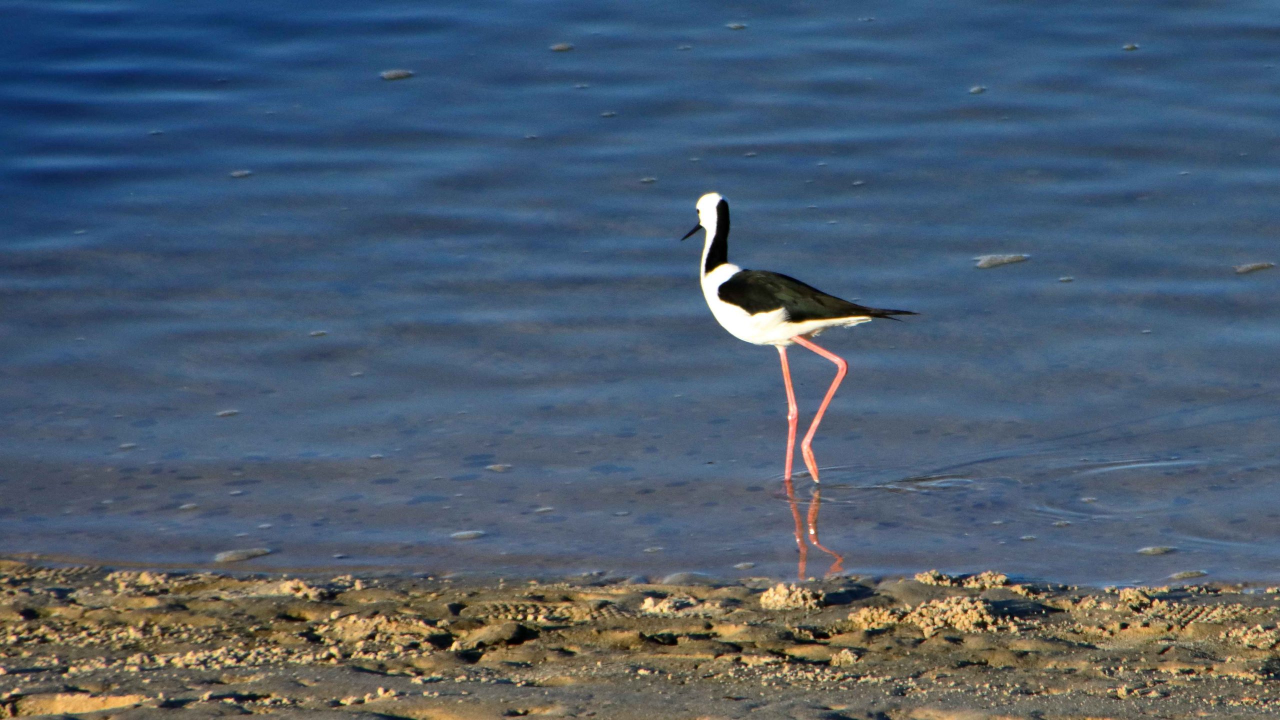
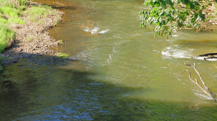
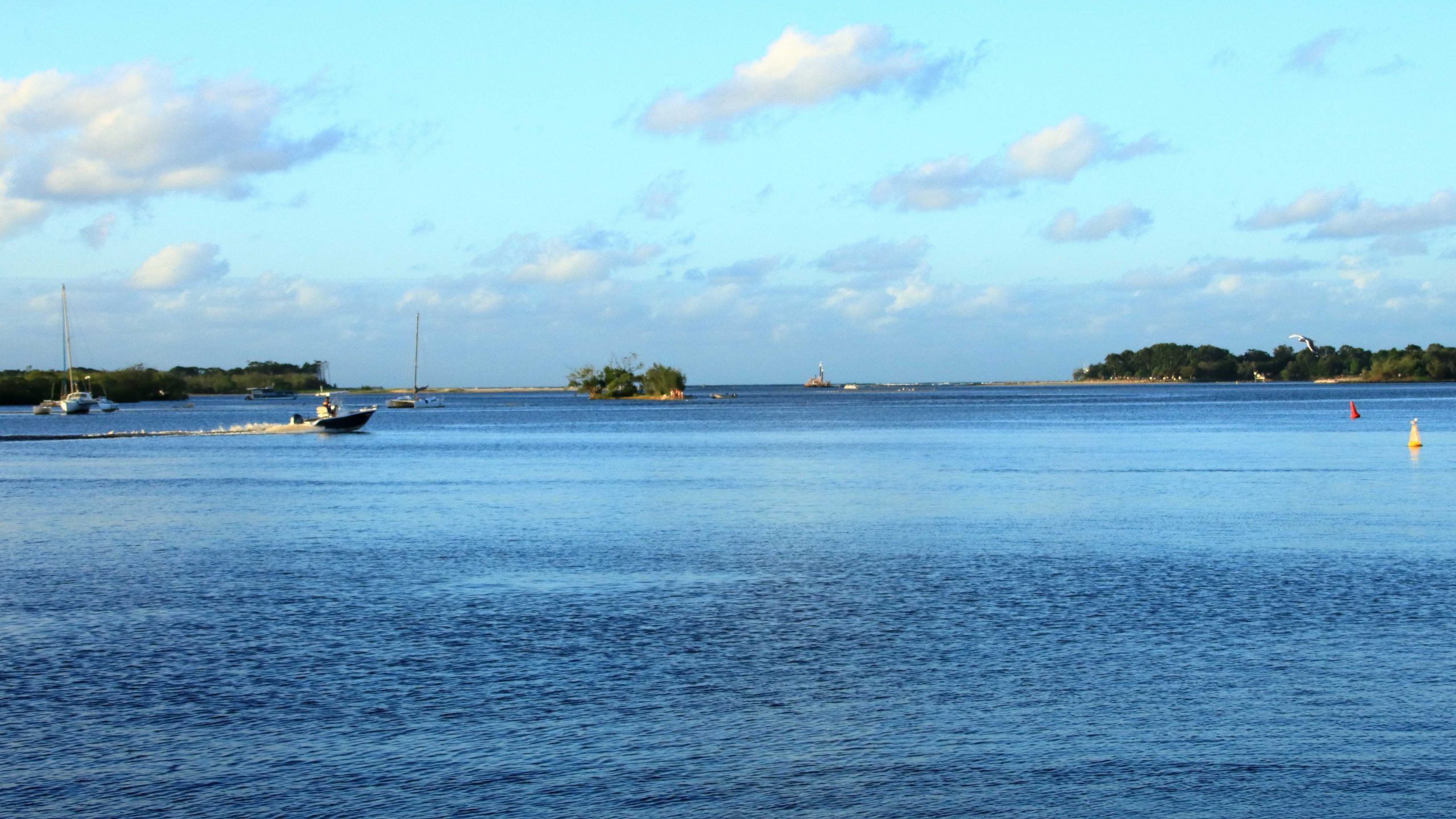
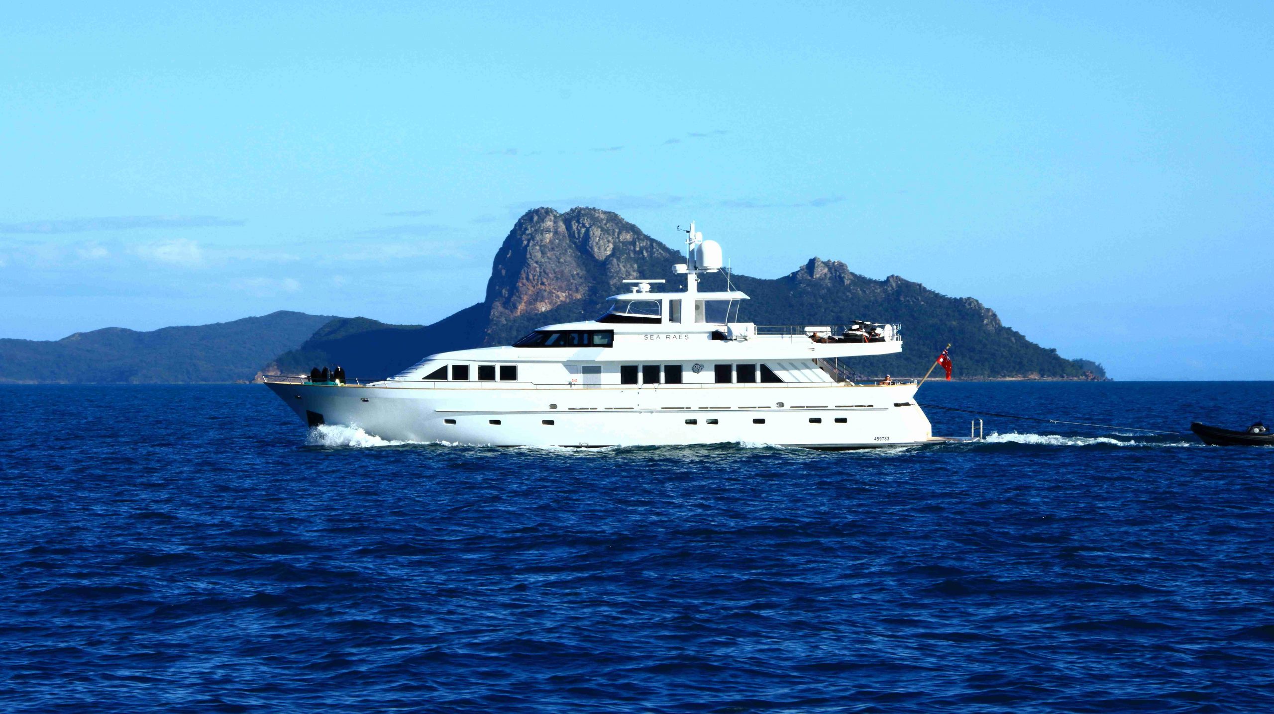
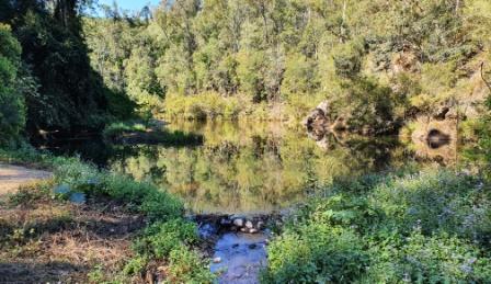
A walk is always on my agenda, so I set out with my camera for a stroll beside the water. The sun was shining and a slight breeze was blowing. As I returned, a large container ship was heading out to ports unknown. It was surprisingly close to the shore as it turned around the last channel marker to head out to sea.

We catered for ourselves for our evening meal and retired at our normal time. But the sun shining through the new gap in Bribe Island woke us early, so we started our day with coffee and breakfast while we enjoyed the warmth of the sun. In our own unit, we don’t see the sun until later in the day.

Osprey standing on the remains of breakfast
Possibly the same Osprey looking for its next meal

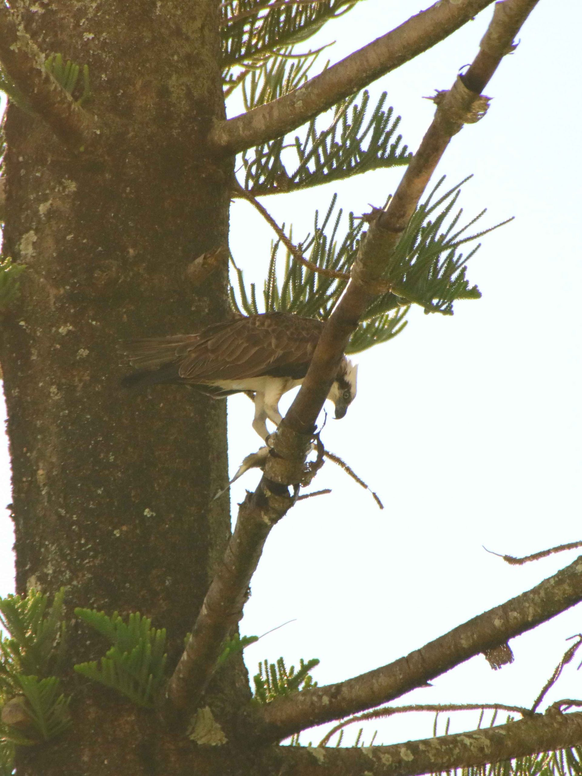
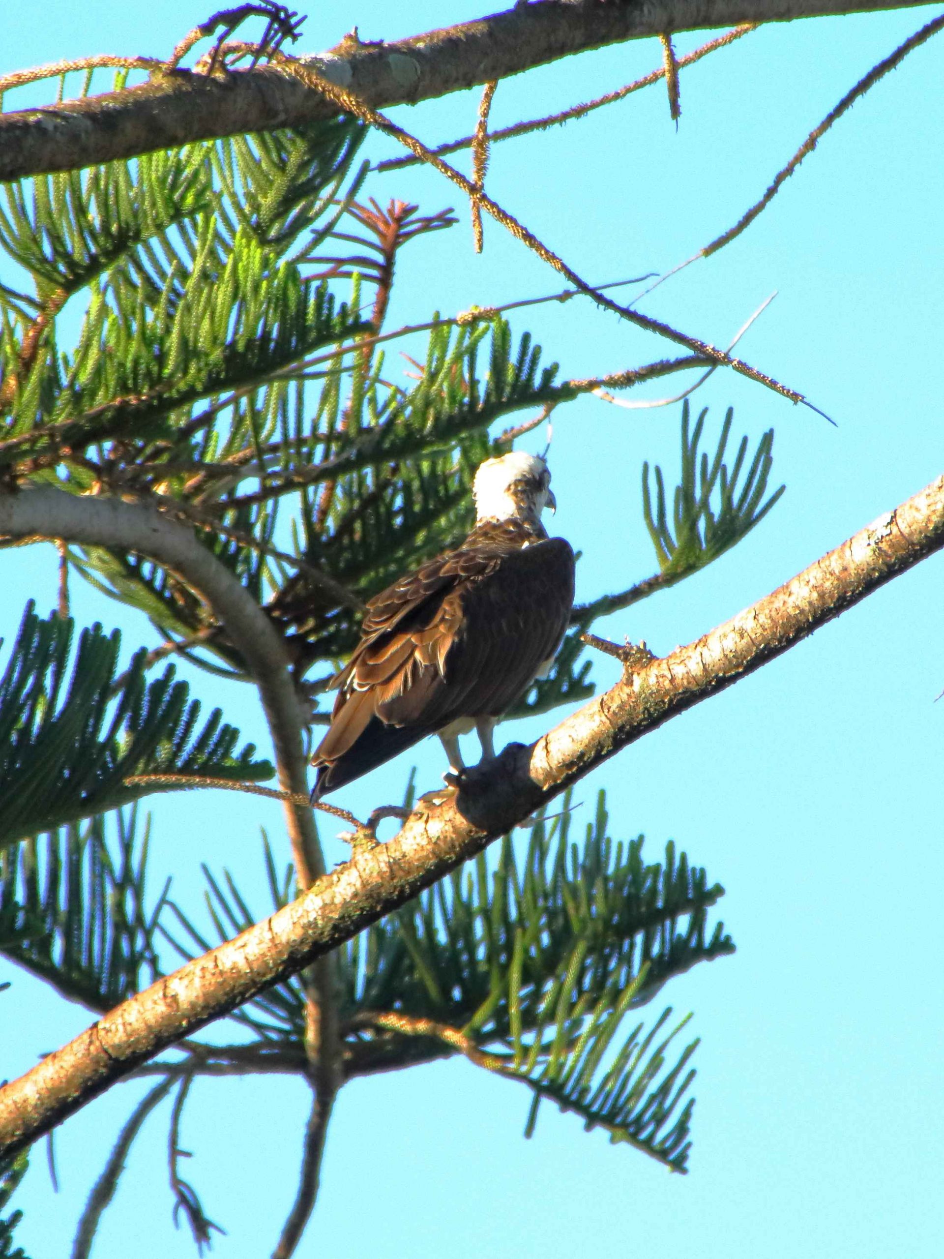
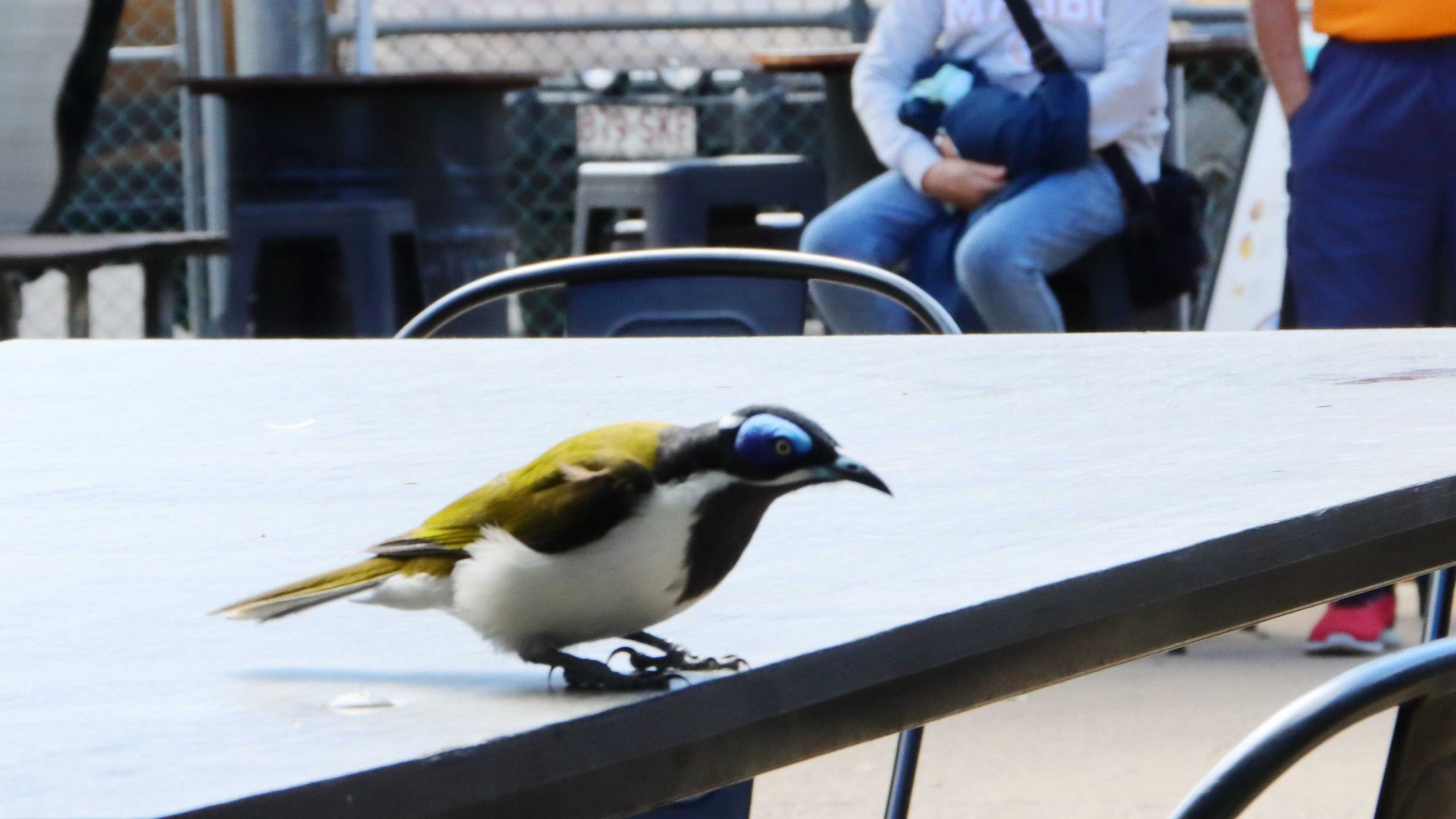
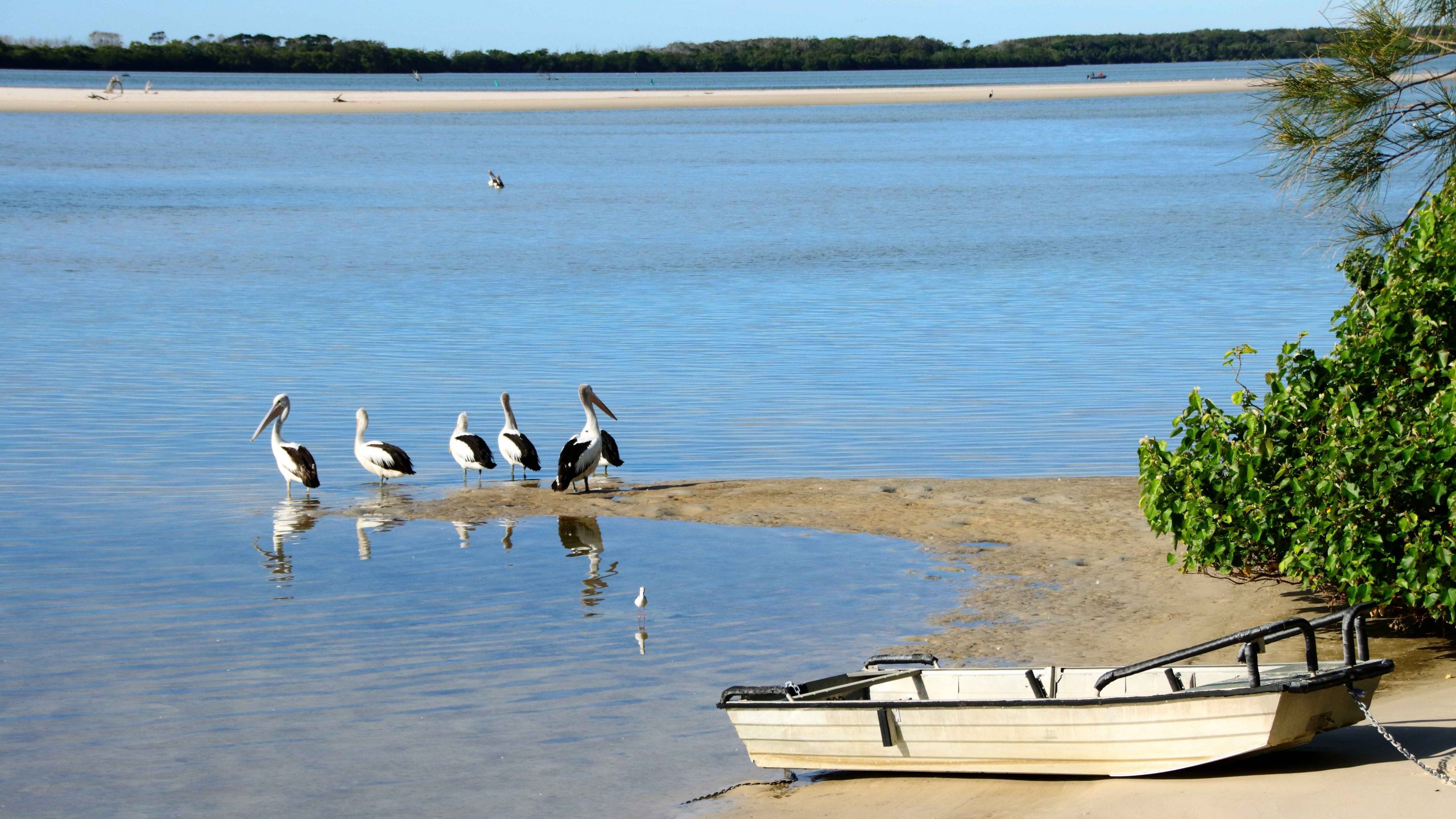
Before we ventured out for the day, I walked out onto our balcony and noticed an Eastern Osprey sitting on a branch of one of the Norfolk Pines that line the shore. As I watched, the bird flew off but a couple of minutes later returned with a reasonable size fish secured in the claws of one foot. It landed back on the original limb, stood on its catch until it stopped flapping around and then proceeded to eat it. Not all at once though. I went to get my camera. By the time that I returned it had stopped eating and had secured the remains of the fish under one foot. The food chain in operation!

The first coffee provider that we visited

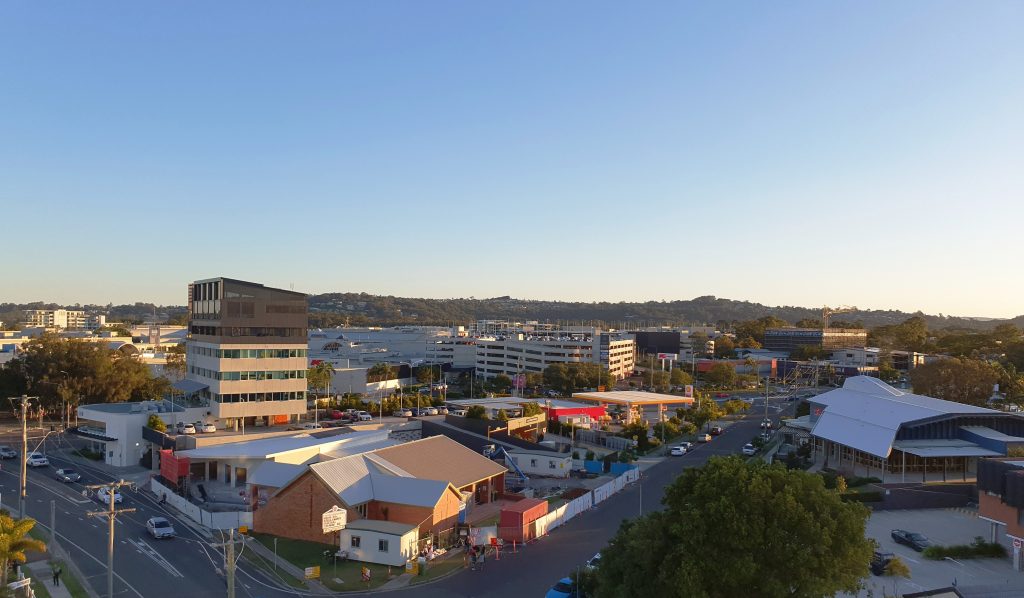
After visiting a local café for coffee, we took a drive to look at some of the more recently completed areas, to the west of Kawana Lakes but drove via Currimundi Beach. We hadn’t been there for quite a while but nothing much had changed from last time.

I think the suburb was Birtinya. We found a new shopping mall, which we explored. Everything was new and shiny. The shops were not busy, but it was still early in the week.

Birtinya Shopping Centre
Mooloolaba Pilot Boat Returning to Port

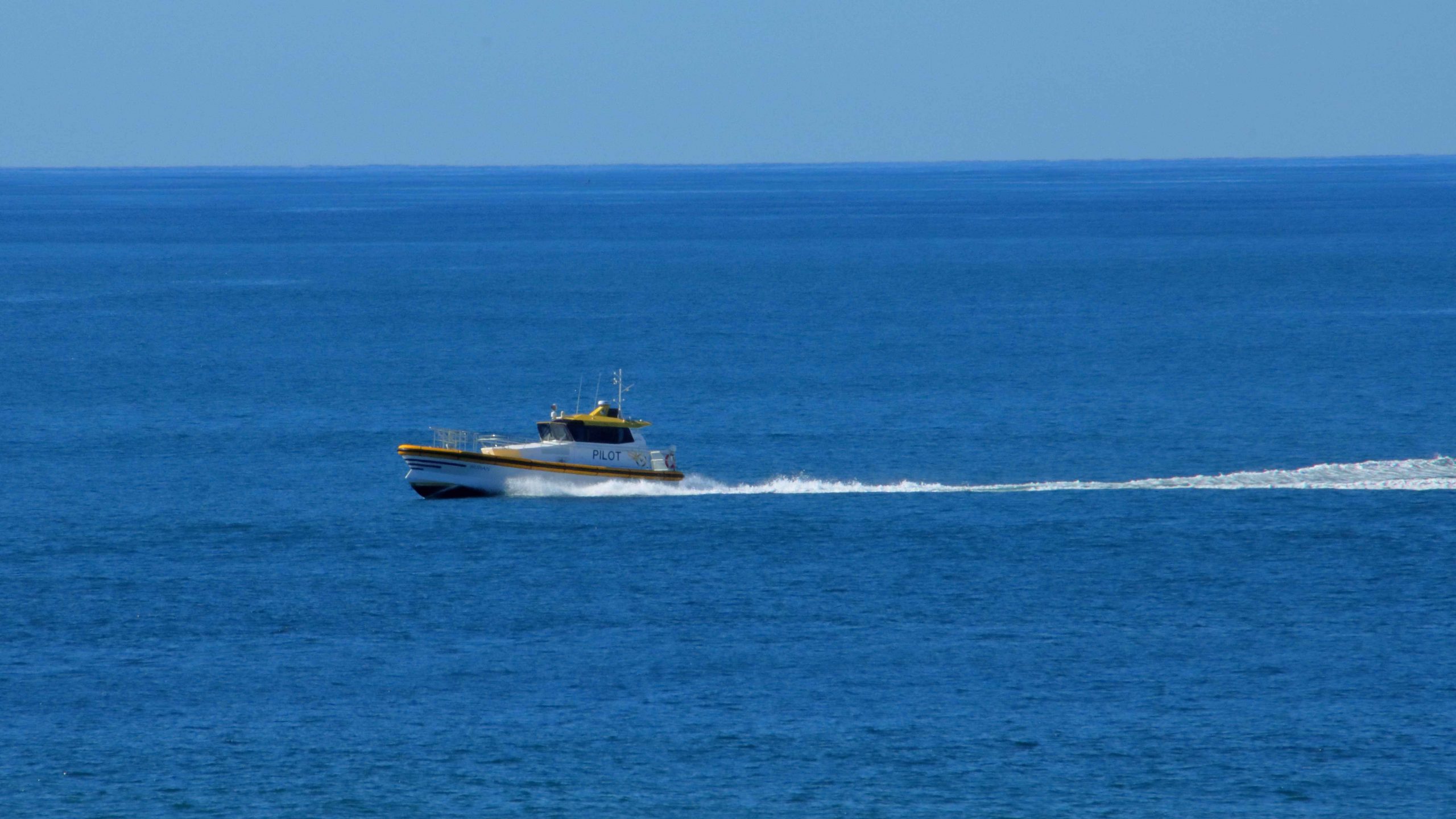
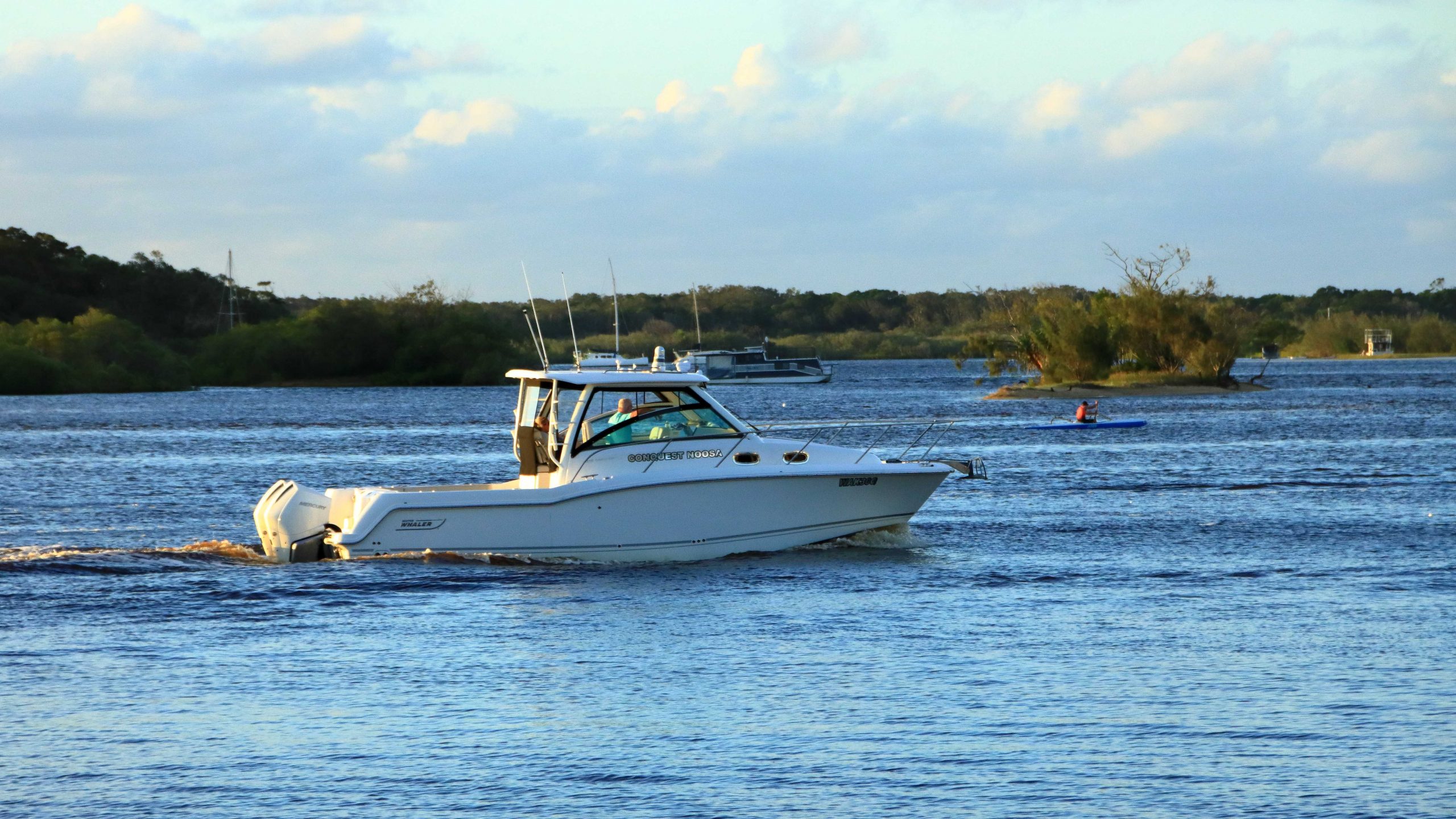
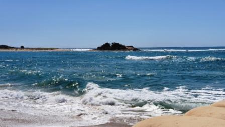
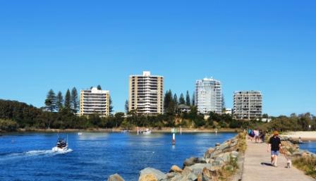
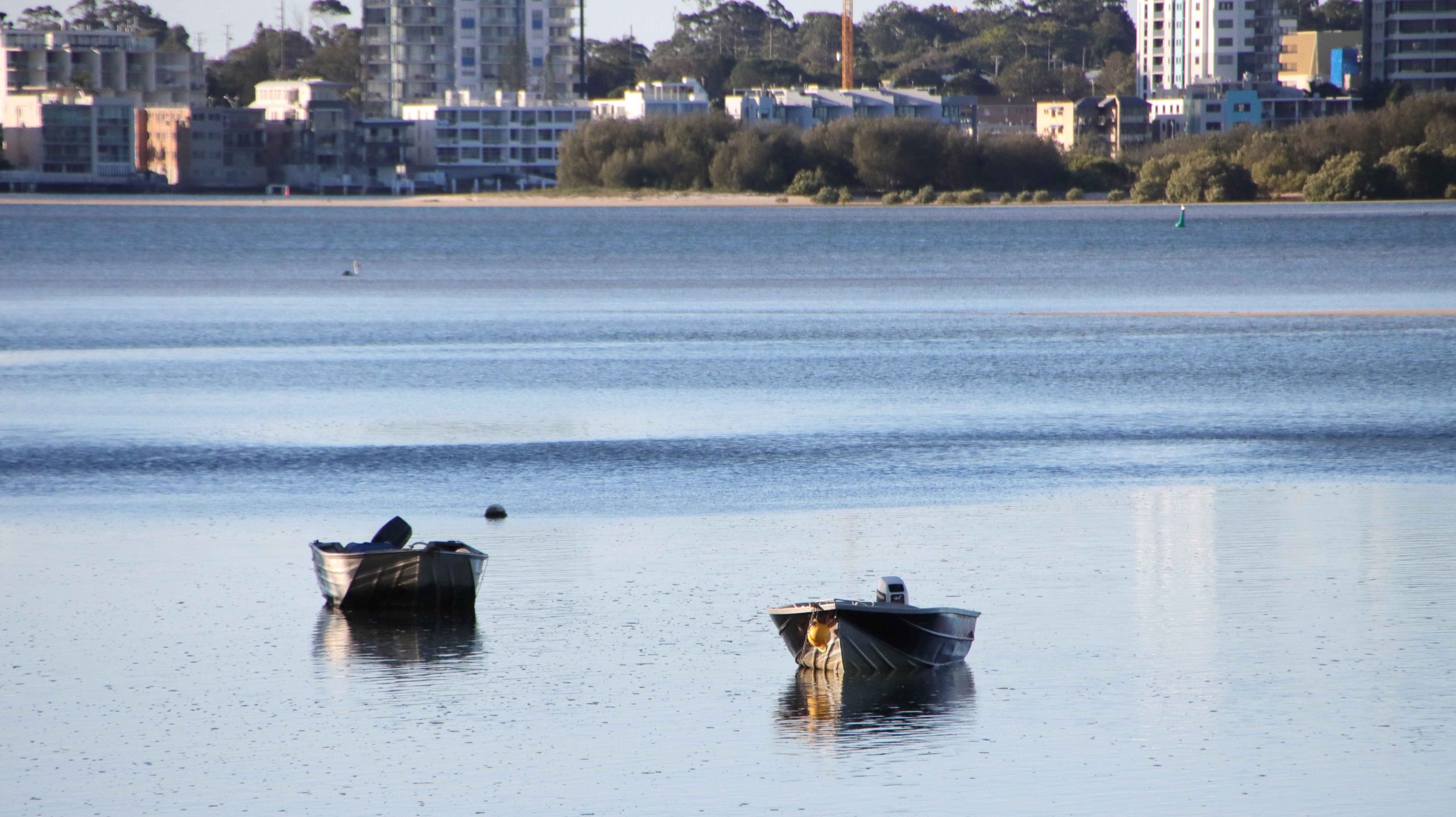
From Birtinya we drove to Point Cartwright, the Headland around which boats from south turn to gain the shelter of the Mooloolah River. The marine facilities in the river include the pilot station for pilotage through the Great Barrier Reef to Cape York. We parked for a few minutes to take in the excellent beach views from the parking area, before returning to Kawana Waters shopping centre for lunch. We returned to our unit mid-afternoon and again took it easy with a self-catered and simple evening meal.

Cafe Sisily where I enjoyed Cannoli

A former workmate, now resident in one of Caloundra’s several rapidly developing satellites, picked up from a Facebook post that we were in the area and messaged, suggesting we meet for coffee. What a good idea!

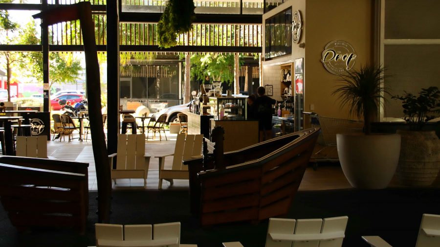
So, our last day started with a meeting in an excellent coffee shop just a short walk from our resort. I was introduced to the delights of Cannoli. Somehow, I have reached my considerable age without trying it. It was delightful and is now on the morning coffee menu of possibilities. It was a pleasant catch up with Sandy, who we had not seen for quite some time.

The new Caloundra Bar, the northern entrance to Pumicestone Passage
The Ferris Wheel at Happy Valley Beach
Rocky area of Happy Valley Beach

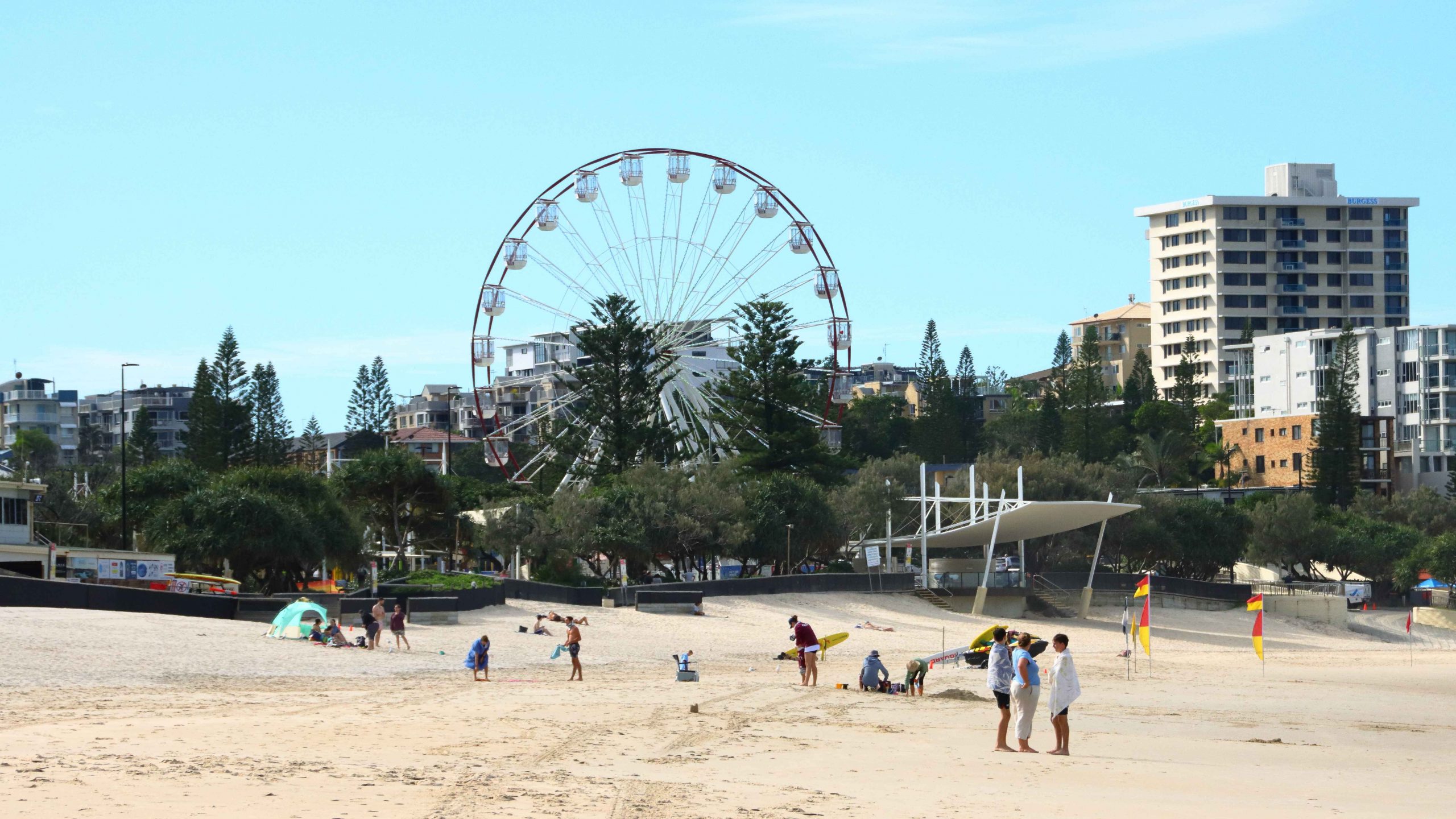
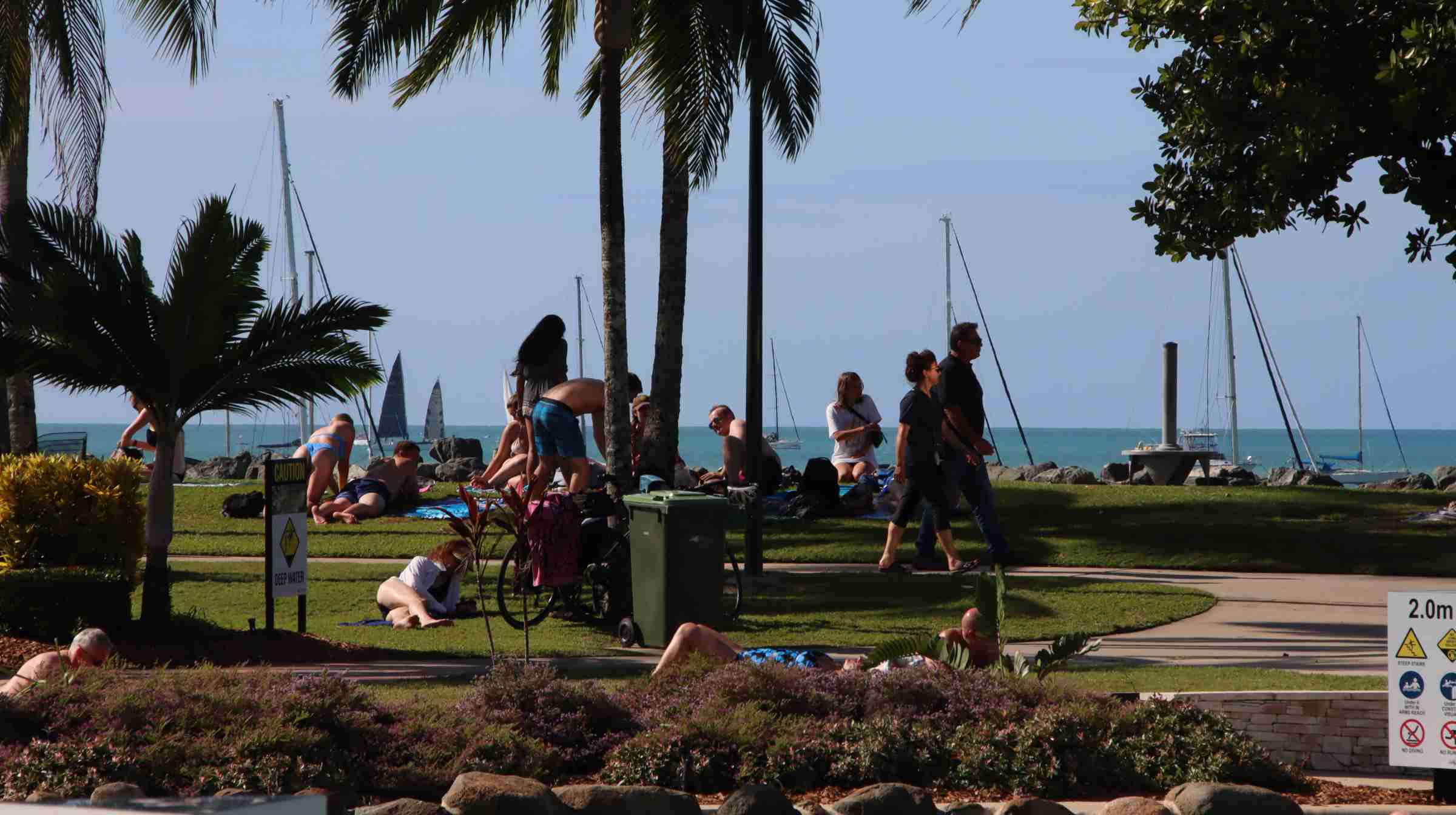
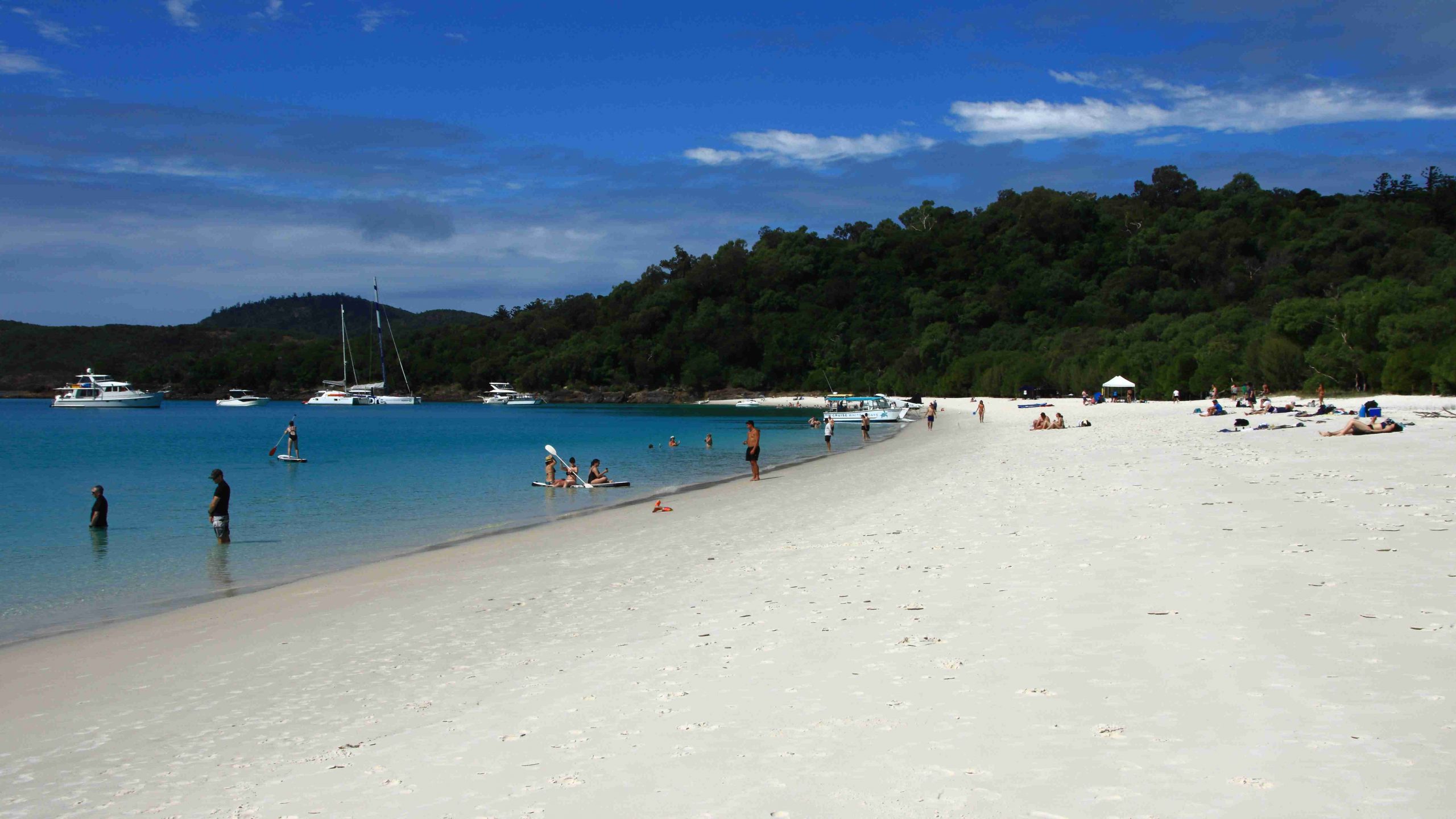
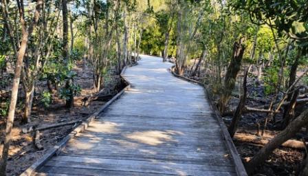
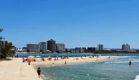
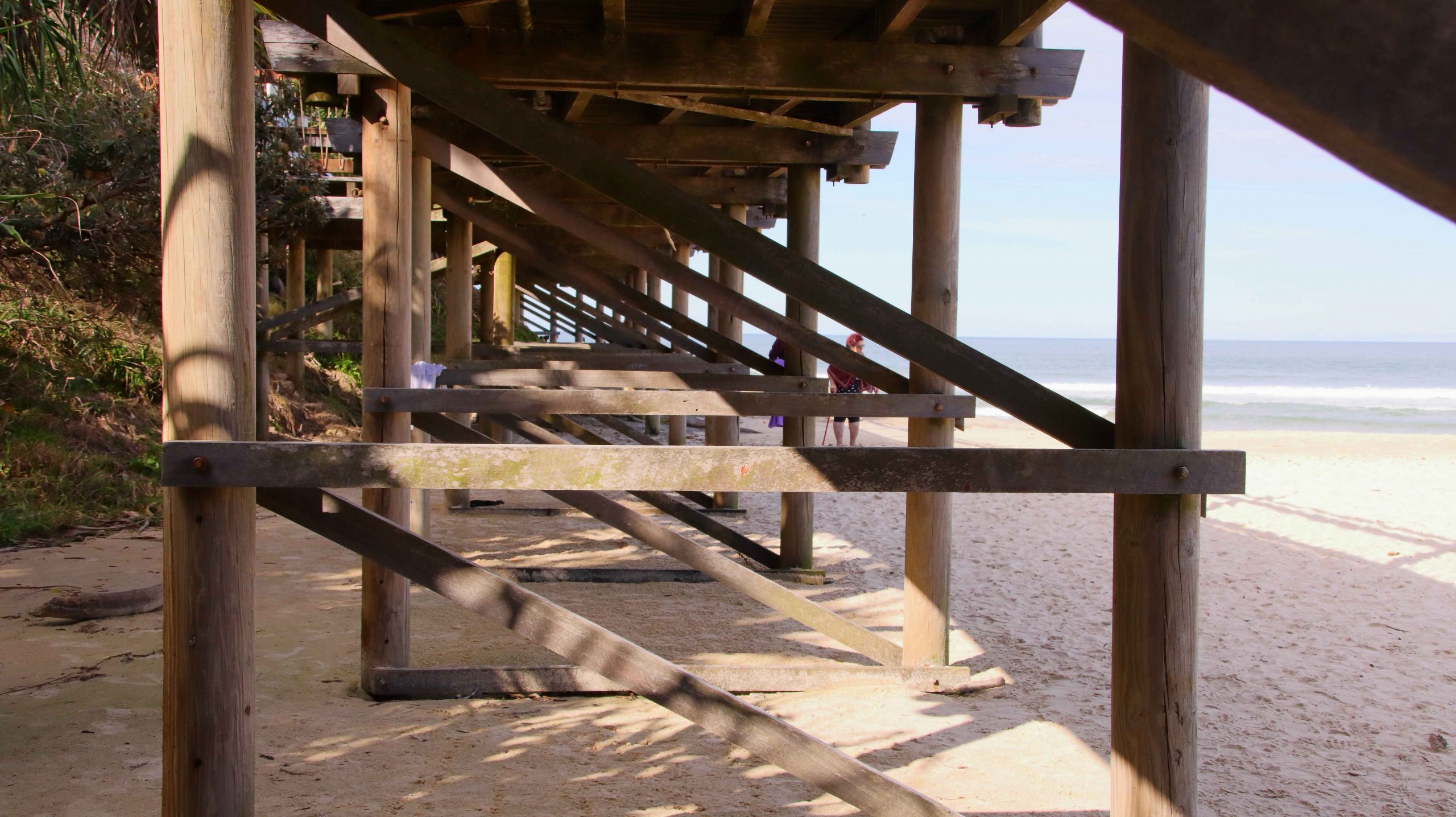
After lunch at our unit, we drove to Happy Valley and parked where Ruth had a good view of the ocean while I walked the board walk to Kings Beach, to get in some steps and to take some photographs. The weather was pleasantly warm with a scattering of sunbathers on the beach.

A couple relaxing by the sea
Sand covers the area of the old Caloundra bar
A different view of the Happy Valley board walk
The new area of sand at Bulcock Beach.

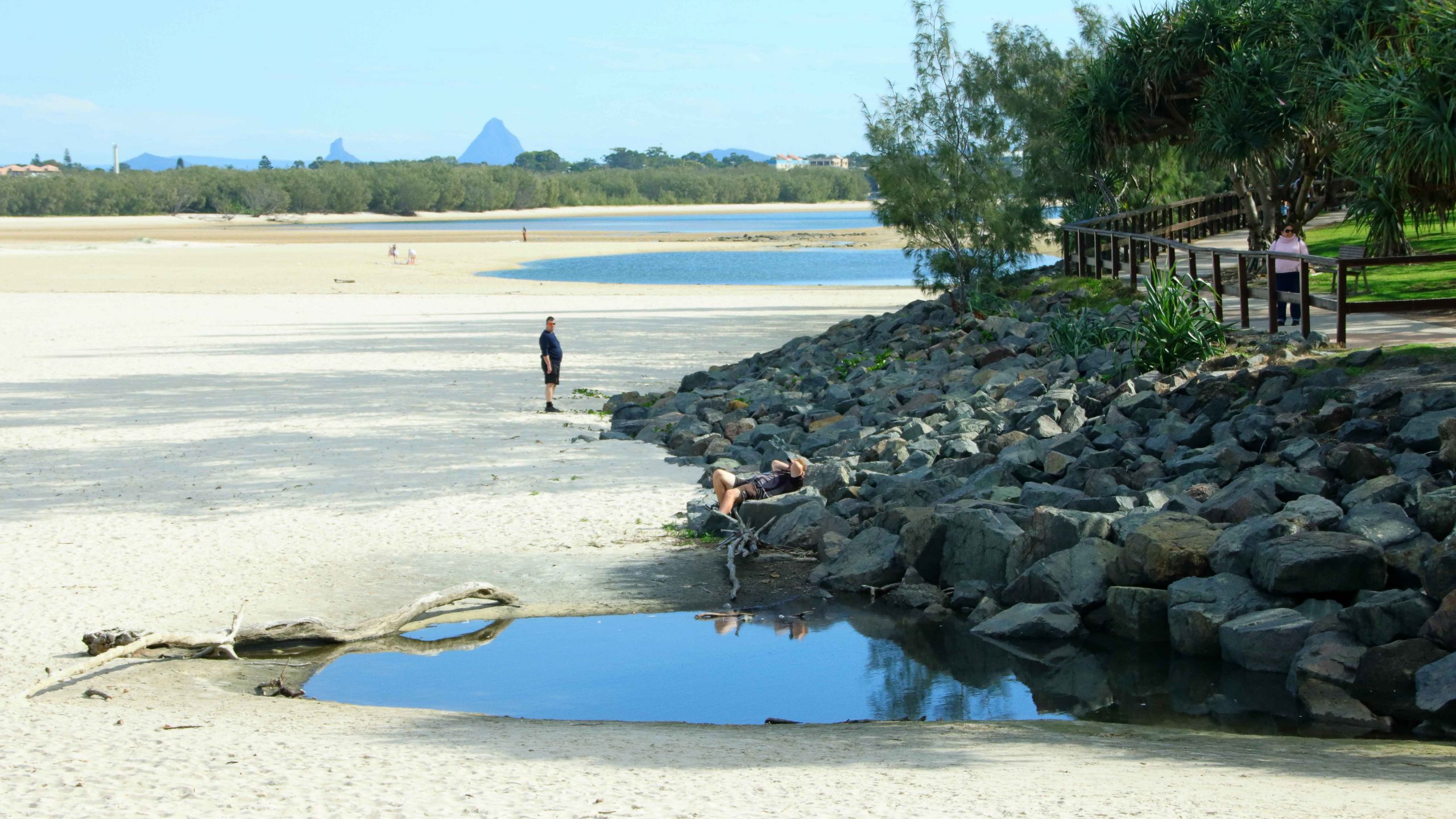
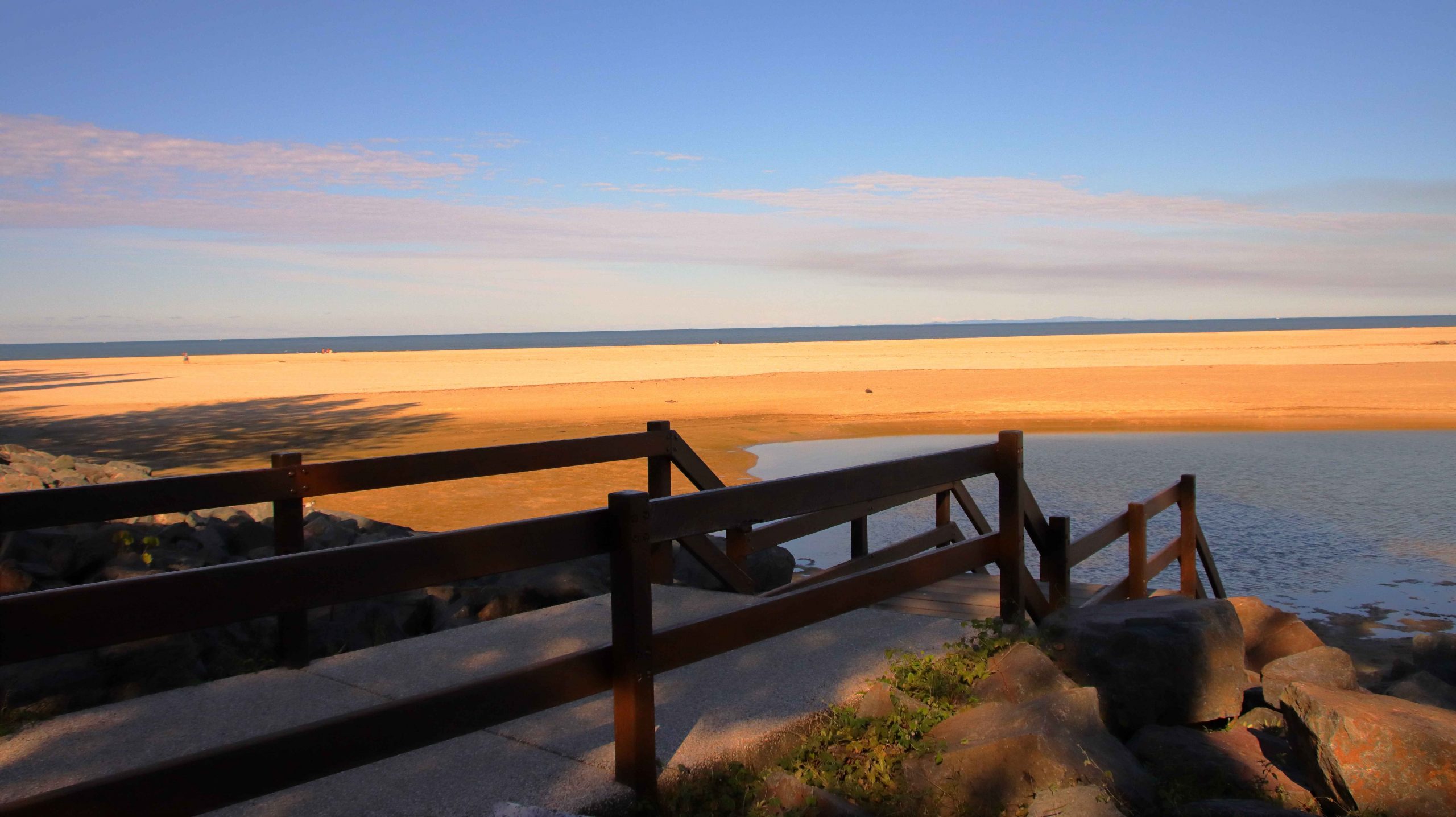
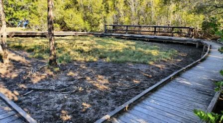
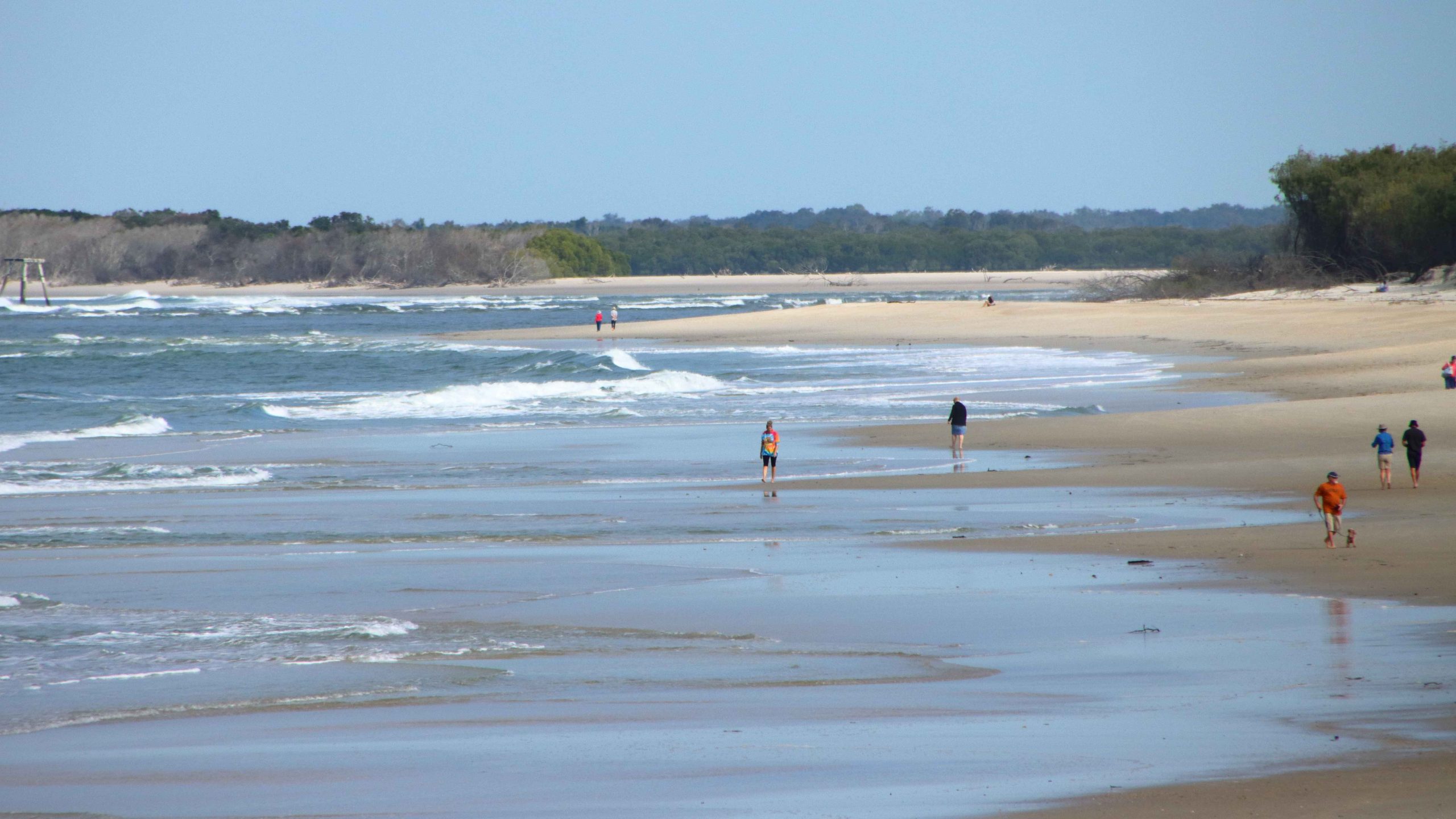
The breakthrough of the ocean to Pumicestone Passage has led to the old bar at Bulcock Beach totally silting up. Now, where once the tide swept into and out of Pumicestone Passage there is now a sand dune that is no longer breached even by the highest tides. I wandered over part of the sand filled area, photographing as I progressed, until returning to the car and then to our unit.

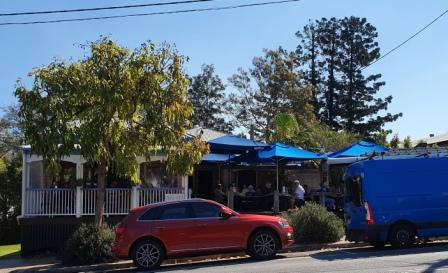
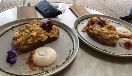
Since this was our last night, we dined at the Copper Spoon Thai Restaurant on the resort grounds. We enjoyed a delicious meal, savoring the delightful flavors for which good Thai food is known.

Caloundra between the Pine trees

All that was left of the short break, after another restful night, was breakfast and the drive home next morning.

A Drive in the Country

The recently departed long, hot and wet summer and early Autumn was far from ideal for travel. And after all, that is what my blog posts are mostly about.

Two planned trips to Queensland’s Granite Belt and New South Wales New England, were aborted for both family and weather reasons. Although that trip may still occur, it is not yet bloggable and may never eventuate anyway.

But good things come to those who patiently wait. The weather forecast for Queensland’s Labor Day public holiday was predicted to be a ray of sunshine between the clouds and so it proved to be.

Kenilworth bakery and doughnuts
Kenilworth Friendly Grocer

Still hankering after Autumn colours, I recalled some Facebook comments from months ago, where a grove of trees near Kenilworth seemed to present possibilities. Unless you have word from the horse’s mouth, there can be no certainty about the timing of the appearance of Autumn colours.

We left home after breakfast, stopping at Wild Horse Mountain or coffee. At the north end of Nambour, we turned inland to Mapleton, followed the precipitous descent of Obi Obi Road and then Obi Obi Creek, to Kenilworth. Everything is so green at the moment. It was an enjoyable drive.

A Queue for the Loo
A visit from a Blue-faced Honeyeater

Lunch time had come, so we found a parking space after a bit of a search. Kenilworth is a poplar town on a sunny public holiday. We then walked the short distance to the Kenilworth Dairy, where lunch and cheese were both offered. Lunch first, then cheese.

As we waited for lunch to arrive, I took  couple of photos and rested my camera on the table. Suddenly, like out of nowhere, a Blue-faced Honeyeater landed on the adjoining table. There was no time for bird photography settings. It was grab and shoot and the bird was gone. You be the judge of the resulting photo.

Obi Obi Creek, near Kenilworth

We walked around town, as you do, while I took a few photos. Then we drove out to the grove of trees that, if they possessed an decency at all, would have presented leaves with all the colours of the Autumn spectrum. But no such luck. I am sure the I had located the correct trees, but my timing was obviously out. But I photographed them I took some photos of Obi Obi Creek as well. The grove of trees is at the head of this post.

The day had improved from its quite reasonable start. There was more blue sky than clouds and the temperature was delightful. Of the alternatives available to us we chose to drive toward Noosa. A recollection of a desire to climb Mount Tinbeerwah, located between Cooroy and Noosa, surfaced, so that is where we went.

Lake Cooroibah on the Noosa River

Ruth stayed with the car and I took the track to the summit, not sure if I would go all the way. But once on the track it was hard to turn back and the views improved as I climbed. The track is concrete with inlaid stones for most of the way with some sloping bare rocks and a few short flights with steps. Where needed, the stairs have handrails.

THe Summit of Mount Tinbeerwah

A roofed observation deck is at the summit. Rails enclose the area, as the peak is surrounded on three sides by precipitous cliffs. There were half a dozen people up there, all much younger than I am. One young fellow said that he was staying to photograph the sunset. The path down would be quite safe, even in declining light.

Dredging is currently in progress at the Mount of the Noosa River. We drove through Noosaville, appreciating the beauty of the river in the late afternoon and deciding that we would return for fish and chips in the twilight.

Noosa town and river through afternoon haze
The Noosa River bar in after noon light

Noosa Heads was its normal busy self. We patiently made our way to Hastings Street and slowly followed, as part of the traffic, along its narrow way. Almost every parking space along the road that leads to the river was taken. Those vacant were too far back to allow for an easy walk to the river.

This tree is a survivor of fire beside the Tinbeerwah car park.

We turned and slowly progressed to Noosaville, securing a parking spot adjacent to the river, a short walk from the vender of fish and chips. We found a table in the alfresco dining area and placed our order. There are always too many chips, but there certainly was adequate fish and assorted sea food. Quite a feast

More photos were taken at Noosaville, of course, ensuring a pleasant couple of hours next day as I processed them. Some accompany this blog.

We always enjoy Kenilworth and Noosa. I think this was the first time that we had visited them both on the same day.

In case you were wondering, the day after the public holiday was another nice day, despite the forecast to the contrary.

Cruising at Day’s End. Noosa River.
Noosa River Sunset

Tramping Around Brisbane – Gardens, Towers & Bridges

Note: A link to a video of the walk appears at the foot of this post.

When your hobby is photography, then you must take photos. And the more photos the better. With digital photography, taking photos continues to be both an indoor and outdoor recreation. Outdoors to take photos and afterwards, with the assistance of a computer and appropriate software, to process the photos. I find processing to be every bit as satisfying as actually composing the photo and pressing the shutter release. Just like it was all those years ago with black and white photography in the darkroom.

The Signature Bougainville at Southbank

I hadn’t been out for a while. Expected opportunities evaporated for a couple of locations, so a determined effort was needed. On Monday morning of the week of 27th November 2023 I got up early, showered, dressed and breakfasted and drove to Sandgate Railway Station. I chose Sandgate as the Cleveland train departs from there and passes through South Brisbane Station, thus avoiding a change of trains at Central Station.

The Brisbane Eye Against City Background
Using Colour in Architecture

My first objective was coffee on the Goodwill pedestrian bridge, one of the links between the south and north banks of the river, adjacent to the Queensland University of Technology Gardens Point Campus. This walking route took me down Grey Street in South Brisbane and past the western boundary of the Southbank Parklands.

Goodwill Bridge from Near QUT

The winding trellis of Bougainvillea that runs like a spine through the gardens at the Parklands is at its blooming best. The tropical wetland feature area was lush with spring greenery. We have received some very handy rain showers over this part of Brisbane in recent weeks, so the tourist areas at the back of the parklands had that freshly washed look about them.

The approach to the elevated bridge provides fine views of the river and the development along its banks. At its western end the bridge passes above the Queensland Maritime Museum, providing good views of HMAS Diamantina in its permanent dry dock and the many additional items displayed outside of the actual museum buildings.

Deck of the Goodwill Bridge

Goodwill Brew is a coffee dispensing caravan part way over the bridge. I had a choice of seating, so enjoyed my coffee watching pedestrians, cyclists and scooter riders crossing the bridge, Rivercats and other craft fussing about while I changed the lens and set up for the next stage of my walk.

As I have grown older I have become more interested in making videos. The interest first arose when I wanted to turn the still images of our travels into a more internet friendly form. I had a video camera for a while but when technology passed it by I decided to return to a Single Lens Reflex camera. But by that point SLR had been replaced by DSLR. The ability to produce still images and quality video was a winning combination.

Queensland Maritime Museum and HMAS Diamantina
Goodwill Bridge and QUT

About 18 months age I purchased a Canon EOS 90D with kit lenses but upgraded to a decent telephoto for bird photography and a 18-250mm zoom for general use and videos. I have recently bought my first prime lens in a long time, a Canon 50mm lens. It is fondly known by owners as a “nifty fifty”. At f1.8 it is by far my fastest lens.

QUT Ferry Terminal and South Bank

I did give some serious consideration to buying a new mirrorless camera body but decided to stick with established technology. I am very happy with the Canon EOS 80D.

The purpose of this outing was to capture video of two large building projects under way in Brisbane. They are the Queens Wharf project that will house, among other things, a new casino and a new pedestrian bridge to link the lower east of the city with Kangaroo Point. Both are multi billion dollar and multi year projects. Both are well under way. Between the two sites I walked through the Brisbane Botanic Gardens.

The Queens Wharf Projext
The Bridge Between the Two Queens Wharf Buildings.

As I mentioned, the first part of my walk was through the streets to the west of Southbank Parklands. I fitted my newly acquired Canon 50mm prime lens. I am happy with the images produced by this camera and lens combination. After coffee I changed to a Sigma 18-250mm zoom lens which serves as my walk around lens and my video lens. To complete the setup I added a telescopic monopod with a pan and tilt head to mount the camera. There are advantages in using a tripod to shoot video but the monopod is much lighter and easier to carry.

Southbank Entrance to Goodwill Bridge

The Queens Wharf Project is under construction in the vicinity of the old Queens Wharf, which occupied part of the site on the bank of the Brisbane River, about mid city and overlooking Southbank and the motor-way that leads to Captain Cook Bridge. The almost complete Neville Bonner Bridge will provide a pedestrian link between the new casino and Southbank Parklands.

Flowers in Queensland Botanic Gardens
THe Work Area for Kangaroo Point Footbridge

The building nearest to the river is the shorter of the two. It is a horseshoe shape with the adjoining tower built at the open end of the horseshoe. The tower will rise to the level similar to neighbouring buildings. The online promotional blurb claims the site as an integrated tourist precinct including a casino, hotels, retail and accommodation.

When completed it will be well worth visiting and will, as claimed, raise Brisbane’s profile as an international tourist destination.

Artists Impression of Finished Project.

From Queens Wharf I walked via the entrance to Queensland University of Technology, through part of the Botanic Gardens to the riverside pathway that leads to the Eagle Street Pier area. The old pier area is under major reconstruction but the part that was of interest to me on this walk was the new Kangaroo Point pedestrian bridge.

The bridge is quite a structure. It is well under way. Its defining characteristic is a mid-river pilon that will support the cables that in turn will suspend the walkway at a level that will allow river traffic to pass underneath. Construction has cut the riverside walkway at this point, so it is necessary to return to the city streets to make your way past this obstacle.

Kangaroo Point Footbridge and Storey Bridge

The pier area, had previously housed several restaurants and provided moorings for the Kookaburra Queen paddle wheel restaurants that we still had from Expo 88. But it looks like the paddle wheelers have gone. Major construction will take place when the bridge works, that take up a large area of shore space, are completed. The current bridge works area takes up much of the footprint of the final development.

St Stephens Cathedral is crowded by a cluster of high rise buildings.

Having reached this point I had seen what I came to see and photograph, so I grabbed some lunch and walked to Central Station for my train, via the grounds of St Stephens Cathedral and Post Office Square.

Interrupted Journey – North Queensland 2022 – Part 1

Part 1 – The Whitsunday Islands

Note: A video link appears at the bottom of this blog post.

Please Note: There is a video of the day in the Whitsunday Islands ay the end of this post.

The Mobile Sheathers are mobile again. We left home on the morning of Wednesday 10th August, for a tour that was planned to absorb the remaining days in August. But unexpected events occurred.

Our view to Port Airlie approaches

We departed in sunshine, came through a cloudy period around Gympie, then fine to our overnight stop at Gladstone. Brilliant sunrise on Thursday morning could only be seen through a window, without getting dressed and going outside, so no sunrise photograph.

A bit of rain south of Sarina and a bit more between Mackay and Proserpine but plenty of sun shining through the clouds as we topped the rise coming in to Airlie. We were able to enjoy that fantastic sunshine on blue water and green mountains view that is the reward for just getting there.

Whitsunday sunset from our balcony

We stayed at Club Wyndham, situated on the hill directly above the Port of Airlie, with little to obscure the view, after a fairly good drive, apart from road works. We estimate that at least 40% of the highway between Gympie and Gladstone has road works speed limits, 80, 60 or even 40 MPH if they get the chance. A bit frustrating but necessary. If you wonder why Australia is short of people to pick fruit, make coffee or all those other vacancies we keep hearing about, it is probably because so many are working building and repairing roads.

We enjoyed good weather at Airlie Beach, noticeably warmer than recent Redcliffe temperatures.  There has been early cloud, burning off to a clear afternoon.

New Shute Harbour Passenger terminal

On Friday morning, our first day at Airlie, we drove out to Shute Harbour to check out the new passenger terminal, built since the last cyclone. We also checked the logistics of the cruise through the Whitsunday Islands that we planned to do for suitability for Ruth, who gave it the thumbs up. We booked for the following day.

A view of Shute Harbour from near the houses on Coral Point, accessed from the road that runs behind and above the Shute Harbour car parking area.

We did a drive around the residential area that overlooks Shute Harbour area, then drove out to Mandalay Point (the range of hills opposite to Airlie Beach) to check on how the rich people live, or at least the houses that they live in. Some are beautiful houses with magnificent views of the bays and headlands around the residential area. A few original fisherman’s shacks remain.

Units on the hill at Airlie Beach.
The beach at Airlie Beach at low tide.

After lunch we did a walk around the Airlie town, including enjoying an ice-cream. Then back to our resort for a rest and dinner. Club Wyndham is built on the steep hill that overlooks the town and port facility. It is very steep but that provides the views. It is a very nice resort. We are staying here through the kindness of our son and daughter-in-law.

Shute Harbour Road in the heart of Airlie tourist strip
Poolside at Airlie, near the main beach
A recently completed mansion overlooks Airlie Beach
Cruise morning sunrise reflected on the clouds

On Saturday morning we drove out to Shute Harbour and boarded the “Nancy Wake”, our tour boat for the day.  From Shute Harbour we cruised past Daydream Island, through the Mole Passage and past the now unused South Mole Island where the once famous resort that was so badly damaged by Cyclone Debbie remains closed and unrepaired.

The charter yacht base at Shute Harbour

Our passage then led inside Cid Island and through the both picturesque and functional deep-water anchorage. The harbour was used for refuge for Naval vessels during WWII.

Daydream Island resort

The cruise continued through Hook Passage, the narrowing body of water between Hook & Whitsunday Islands and the shortest passage from Airlie and Shute Harbour to The Great Barrier Reef. The north-east part of Whitsunday is mountainous with precipitous drops to the sea. But not far along this coast is an inlet and Tongue Point, that provides a sheltered anchorage for vessels visiting Hill Inlet. A twenty-minute climb to the summit reveals sweeping views of Hill Inlet, Whitehaven Beach, Solway Passage and Haslewood Island.

A motor yacht making for Cid Harbour

With all back on board, lunch was served, after which we moved on to anchor off the southern end of Whitehaven Beach, to allow passengers ashore for a guided walk, sunbake or swim. My legs were a bit tired from the climb to Hill Inlet Lookout but I did go ashore for a walk along the beach. We were anchored there for about two and a half hours, with plenty of company from private and other tourist boats and even a small amphibious aircraft.

The southern end of Whitehaven Beach . Swim, sun bake, snorkel, hike. Take your pick.
Our tour boat, “Nancy Wake”.
A breaching Whale off Solway Passage

With all hands back on board, afternoon tea was served. We then set off then to complete our journey. We continued south through Solway Passage where we came upon some Whales playing, so stopped to watch their show. After a pause of 10 minutes or so, the Whales dived and we moved on past Hamilton Island and the neighbouring Dent Island and returned to Shute Harbour.

A Pleasure Boat passing Perseverance Island
The main Hamilton Island resort area
Hamilton Island Yacht Club and harbour entrance
Dent Island. The residence of the original owners is among the trees in the centre foreground.

The cruises past Hamilton Island provided an excellent view of both the tourist facilities and the stunningly located private accommodation on the northern end if the Island. This is a rich persons’ playground. Hamilton island Week was about to commence. Some of the large racing yachts were visible as our cruise boat proceeded past the harbour entrance, before turning for home. The afternoon light on both island and water was pleasing, as the sun moved towards sunset.

Hamilton Island, viewed over the stern of “Nancy Wake” as we headed back to Shute Harbour.

We had enjoyed a very pleasant day, to say the least. Lots of sunshine, seascapes, mountains, resorts plus more food than we could comfortably eat. We will move on tomorrow, very contented with our short stay in this paradise.

A Short Stay at Maroochydore

View towards the ocean

Our original plans for our annual trip to find warmer weather had been much more ambitious but a short lock down followed by a couple weeks of travel restrictions put paid to them. The plan had been to travel via the Warrego and Landsborough Highways to Winton to do the tours at The Australian Age of Dinosaurs, via the Flinders Highway to a stay on Magnetic Island off Townsville and then to return home via a couple of days on Daydream Island and finally two days ay Yeppoon. Some single nights in between some destinations, of course.

But the restrictions and the always imminent danger of a short notice lock down convinced us that it was not smart to stray more than half a day’s drive from home. Who, other than the wealthy, would risk lock down on Daydream Island?

So we settled on a newish hotel near Sunshine Plaza at Maroochydore. Symphony on Beach, it is called. I read that as Symphony on the Beach and confused myself into thinking it was at Cotton Tree. Never mind. We are not great beach people anyway. Walking on sand gets harder as you get older.

Arrival at the hotel was later than expected due to an unexpected chore that required completion before we left home, so that settled the first day. We eat in and had a normal quiet night.

The first full day was Thursday. We had a quiet morning but went out in the afternoon, the destination being Maroochy Nature Reserve, near Bli Bli. It is a marshy and timbered area that runs down to the Maroochy River.

The parks people have build an extensive board walk from the end of ramped concrete paths at the visitor centre to the pontoon at the edge of the river, so it is easy to visit by road or boat.

Loop off the track to stream

Two loops run off the main track to allow viewing of special areas. All is wheelchair and walker friendly. It is probably about 1.5 km from carpark to river.

I walked the full length looking for birds, but only saw an Egret in the far distance on the river bank and another small bird that flew swiftly across my path and disappeared into the forest.

On the way back to our hotel we detoured to Twin Waters to view Maroochydore from a different direction. And to fill in time until dinner.

Sunset Day 1

Our hotel is near to the Big Top shopping centre. When Sunshine Plaza was built and then continually increased in size, Big Top, which was the original shopping centre in Maroochydore, was over shadowed. But it has come back as a food area with rows of eating places along the streets, just like Mooloolaba and parts of the Gold Coast. We went to a seafood restaurant called The Red Sea in Duporth Street. It was well priced, the food was excellent and there was plenty of it. And great service by keen young staff. A restaurant worth remembering!

Day two of our four day trip saw us on the road to Imbil, Kenilworth, Melany, Mapleton and back to Maroochydore. It was some years since we had visited much of this area. So, up the newish highway to the turn onto the old highway and then the roads into the Mary River Valley.

The main change to Imbil is the long grass growing over the railway line as a result of the Mary Valley Rattler no longer reaching the town. The station has been turned into the first tee of a golf course but the station buildings and the engine turntable have been preserved and an old steam engine and carriage stand on the old tracks, secured by a flimsy netting barrier.

The town was busy, with caravans driving through at irregular intervals. We saw many of them later at the Borumba Dam Camping area. We had coffee at the Rattler Café, served by a young man dressed as a farm hand.

Imbil was the terminus for the Gympie to Imbil tourist steam train known as “The Rattler”.

The track was badly damaged by the tail end of a cyclone. The rail line was reinstated only to Amamoor and the old Imbil station was set up as a museum, with an old steam locomotive and a single car standing on the track leading to the station. The strip along the old permanent way has been converted into a small golf course, with the first tee adjacent to the station building.

Bougainvillea Near Dam

Borumba Dam is a water impoundment on Yabba Creek south west of Imbil. It has been there since 1964 so is well known to SE Queenslanders. The wall is 43 metres high and 343 metres long and is of rock fill construction. Whilst primarily a water storage for irrigation and town supply, it is a popular fishing spot and location for other water sports. A caravan and camping park is located down stream from the wall.

After a drive to the dam, we went on to Kenilworth. The town was very busy so we had to find parking in a side street. The Bushtracker Caravan club was in residence at the showgrounds as were many other caravans, campers and tents.

Clearly, many visitors to the coast were having a hinterland day. The bakery closed right after lunch as it had sold all of its stock. We had lunch overlooking the main street, then visited the cheese factory to make the obligatory cheese purchase. We never come to Kenilworth without buying cheese.

Continuing our drive, we called at the Charlie Moreland camping area in the Imbil Forest Park. There were a few campers set up for the weekend. The gravel road in was in great condition.

From there it was just a pleasant drive through the valley and over the range to Maleny. The day was clear so we enjoyed great views of the coast as we drove through Montville to Mapleton. Then down the range and through the afternoon traffic congestion of Nambour and Maroochydore to Rhythm on Beach.

We dined in. We had leftovers to finish from the previous night. A better sunset with a bit of cloud to add interest.

High-rise units at Point Cartwright

We didn’t do much at all on day three. Coffee at Cotton Tree and a walk on the beach south of the river mouth was followed by lunch at the unit. Later we drove to Mooloolaba, grabbing a lucky parking spot overlooking the beach adjacent to the shopping and eating strip. Later we drove to the peninsula and stretched our legs with a walk to the end of the inner wall at the mouth of the Mooloolah River. Dinner in because we couldn’t bother going out.

Sunday was our last day. We had planned a drive to Noosa and despite threatening rain we stuck to our plan. A kind visitor pulled out of a parking space just as we began to look for one. A good start.

Noosa brunch – Truffle Omelette

The famous Aromas on Hastings was under serious renovation last time that we were in Noosa, so a delayed visit for brunch was the focal point of our visit. They were enjoying a busy morning with a short queue for tables. As we reached the front of the socially distanced queue, a table in the front row became vacant and was awarded to us. Coffee was available quickly but there was a 40 minute delay for food as the kitchen could not keep up with demand. While we waited for our food we received a visit from two Rainbow Lorikeets that landed briefly on our table and it started to rain. The meal was worth waiting for.

A quite spot in Noosa’s Hastings Street

Brunch done, we walked the length of Hastings street, pausing for a few minutes to stand out of a recommenced drizzle, drove down to the river mouth where there was no parking available and drove back to Maroochydore via Nicklin Way, the road along the coast.

The day was rounded out by a call at Sunshine Plaza for Galati and a return to our hotel for dinner. The final act was to drive home the following morning, happy that Brisbane had not been locked down while we were away.