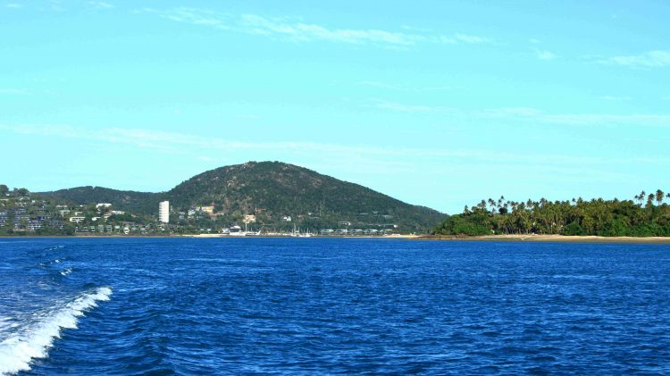
Far North Queensland 2024 – Days 7 & 8 – Port Douglas & Green Island

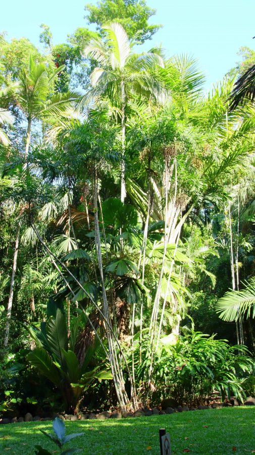
a typical part of Cairns Botanic Gardens

I don’t think that we have ever visited Cairns without also visiting Port Douglas. Oh wait! On our first ever trip to Cairns, a road trip from Melbourne, at Christmas, about 56 years ago, we hadn’t even heard of Port Douglas and neither had most other Melbournians. We hadn’t heard of Christopher Skase, either.

As Thursday was the only day without a fixed starting activity, I took the opportunity to walk to The Esplanade. Reports suggested that the beach and water side parklands was a great bird photography sight. But not that day. I arrived at about 7.30 am but it seemed that half of Cairns had beaten me there. Clearly it is a favourite aera for morning exercises and there were many exercising. But they weren’t doing it quietly. I took some photos, but mostly birds with which I am already familiar.

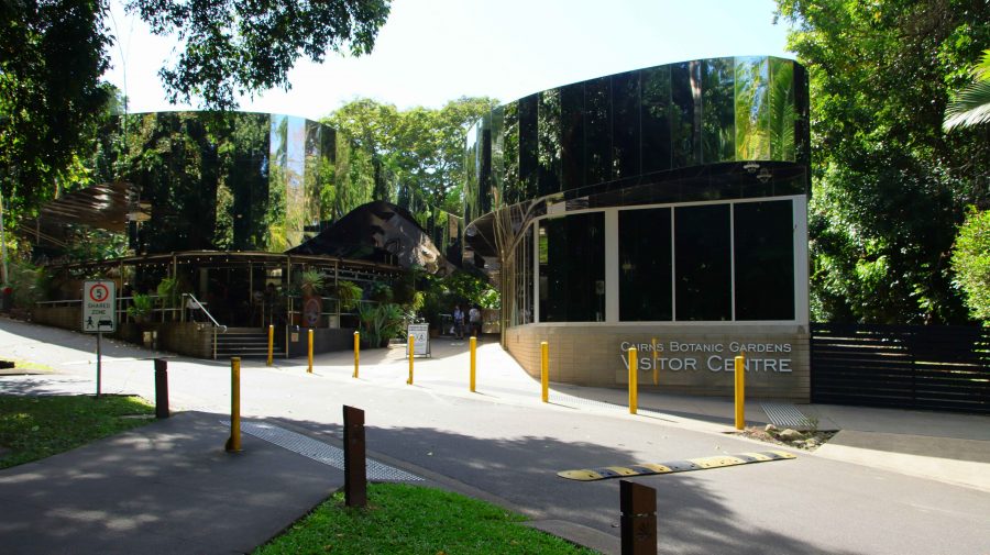
First of all, we visited the Cairns Botanic Gardens. Unsurprisingly, it is a tropical rain forest paradise. A day at least could be spent wandering around the paths and roads. Even longer if you include the visitor centre and its coffee shop. I limited myself to about half an hour, but it was time well spent.

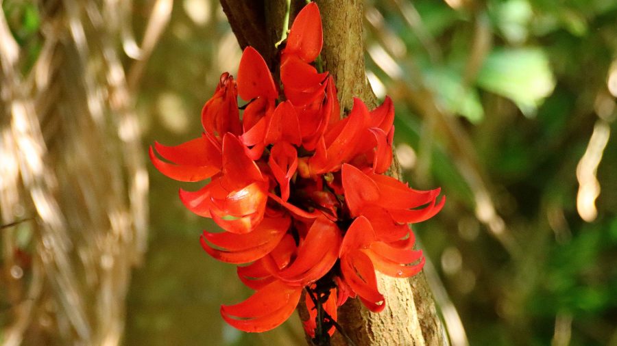
Tropical flower in the Gardens
Botanic Gardens Visitor Centre including a cafe.

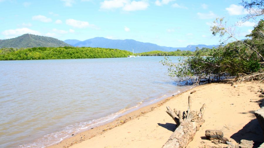
From the gardens we drove to Machins Beach to see the mouth of the Barron River. The banks of the stream and the beach seem to be popular fishing spots and a location for some quiet free camping. But I could sense those Crocodiles lurking just beneath the surface of the water. Much happier in our unit.

Barron River a little upstream from the mouth
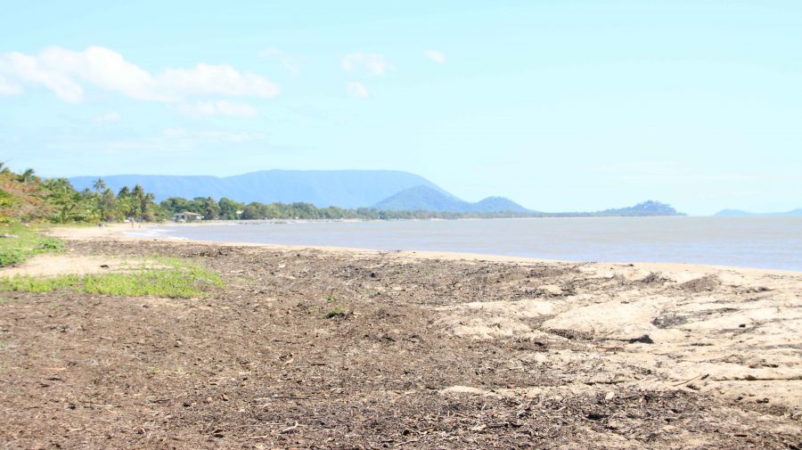
Machins Beach near the Barron River mouth looking north
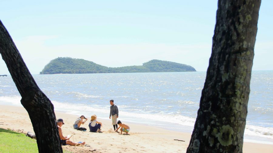
Double Island off Palm Cove Beach.

Palm Cove is one of our favourite places. We have fond memories of our brief stay there a couple of years ago. As we were passing, we called in for coffee and the views of the Coral Sea and Double Island. Double Island used to be home to a luxury resort. Cairns council is conducting a public conversation in an attempt to decide its future tourist use. A decision in principle seems to have been reached to redevelop it.

We drove on along that magic stretch of coast. Work is still in progress to fully restore the parts of the Cook Highway damaged in the deluges that followed Cyclone Jasper in December last year. Just a couple of delays were involved.

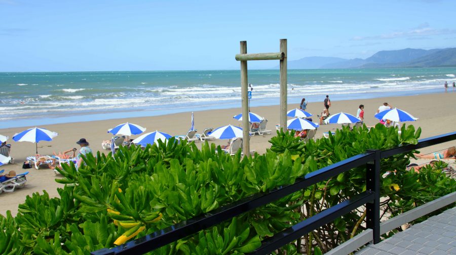
Shading umbrellas at Four Mile Beach

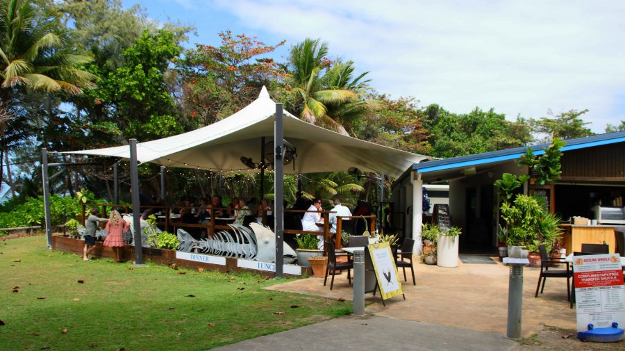
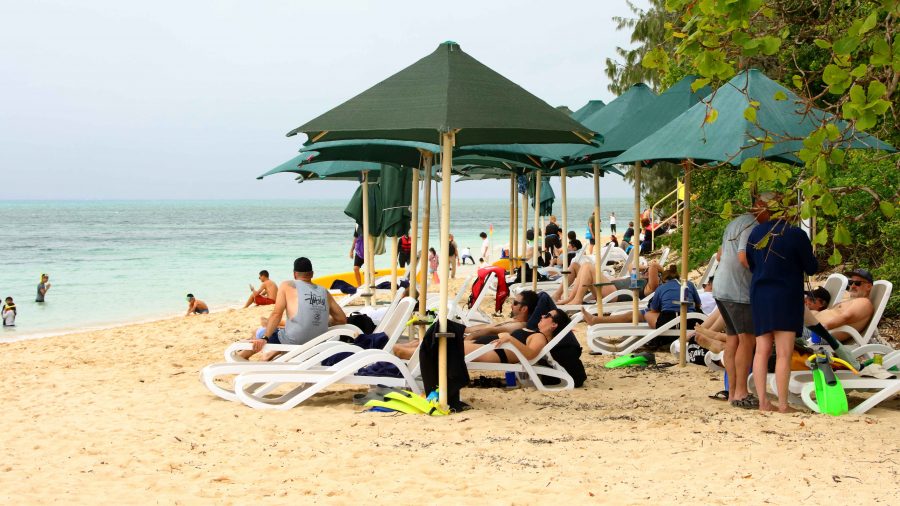
Four Mile Beach has seen some improvements at its northern end since we were last in Port Douglas. A new amenities block with changing facilities has been completed. Two new casual dining establishments now offer food and drink. New ramps and stairs provide improved access to the beach. In addition, there is now an area of striped umbrellas providing shade from the sun over sun lounges. The beach is rather a windy spot so I am not sure how they get the umbrellas to stay in place.

We made our normal visit to Flagstaff Hill to view, and photograph, the town and beach. Then off in search of a parking spot near Macrossan Street so that we could find a place for lunch. We chose a street side eatery called the Iron Bar. It was a bar, substantially constructed of corrugated iron. We dined from large share taste seafood platter.

A new eating location at Four Mile Beach. The new bathing facilities are right next door.
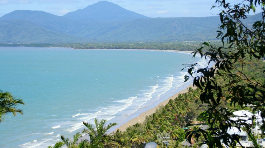
Four Mile Beach from Flagstaff Hill Lookout
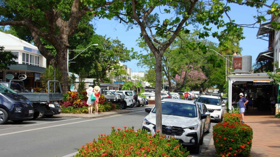
Macrossan Street near where we lunched

The drive back to Cairns was incident free, with a repeat of the road works stops on the way up, but with us facing the opposite direction.

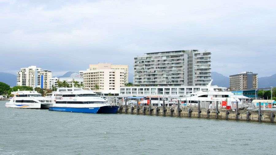
Cairns Harbourside from Green Island Ferry

Friday was our last day in Cairns. We had booked a ferry trip to Green Island. It was over fifty years since we had last visited. Since then the Jetty has been extended, the underwater observatory had gone and a resort has been built.

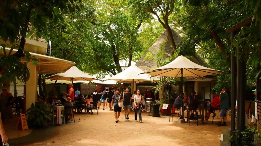
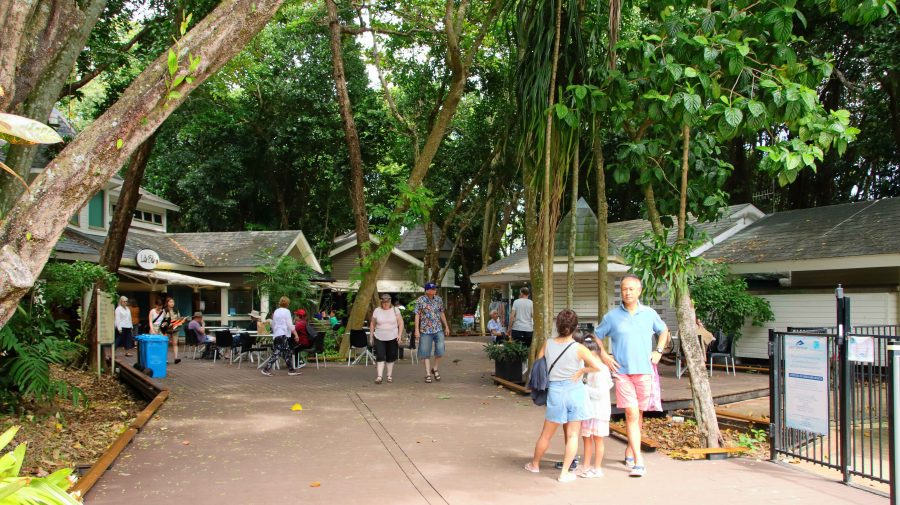
Part of the public area at Green Island

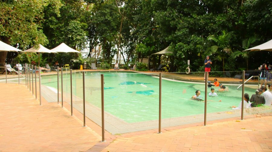
It was not a brilliant day, with strong winds and drizzle periods. The sun was in hiding for most of the day, but it was still about 25C, and comfortable if you were sheltered from the direct wind. We established ourselves in the public area near to the resort reception. There were lots of youngsters about. The pool generated a continual cacophony of sound.

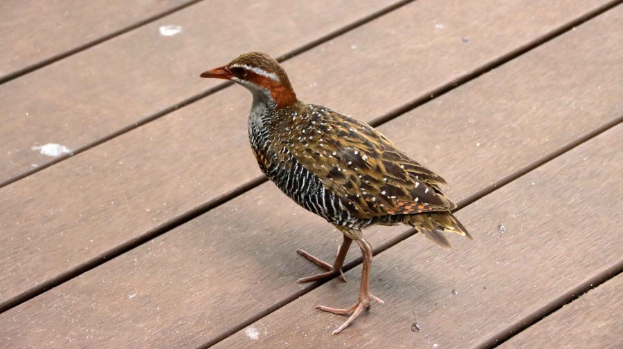
Buff-banded Rail. Green Island pigeons

The first time that I photographed a Buff-banded Rail, I thought that I had found something special. But at Green Island they are as common as Pigeons in a city park. They feed off tourist food scraps and are deliberately fed by some tourists, including us.

Green Island is a true coral cay. To make walking easier than ploughing through soft sand, extensive boardwalks have been built, including one that leads to the far south-east corner. Visitors go there to swim on calmer days or to kitesurf on days like we were experiencing. I walked there looking for birds that some claim to be quite profuse. But that must be on days with less wind. I found a few, but they were all in hiding from the wind. They included two Eastern Osprey hiding behind a chain-wire fence. They must be regularly fed, so don’t need to go fishing. Or perhaps it was too windy for them too.

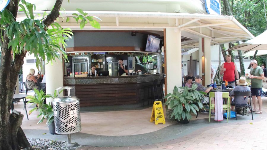
This is where you get coffee at Green Island
Green Island Public Pool later in the day with only a few children
Another view of Green Island public area

With departure time near and rain squalls about, we made for the ferry. On the last unprotected stretch a gust of wind took my prised Tilley hat, which will now be on the floor of Davy Jones Locker. Pity! I will need to replace it as I had become quite attached to it. But obviously it was not attached to me quite well enough.

The swimming beach faces North, away from the prevailing south-easterlies
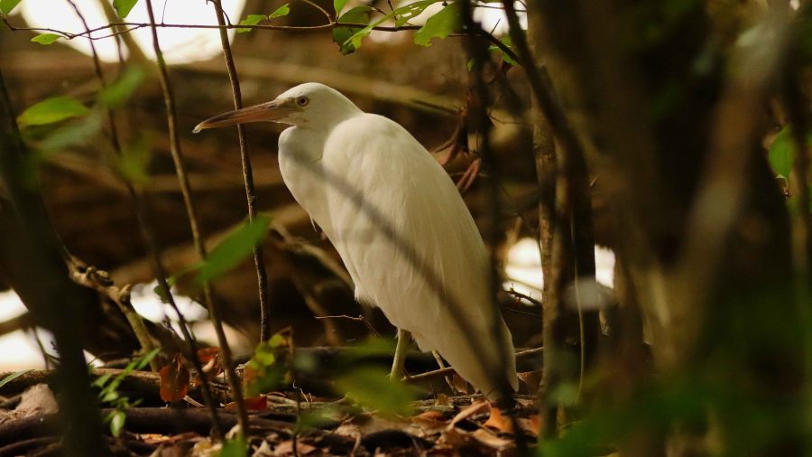
An Intermediate Egret sheltering from the wind
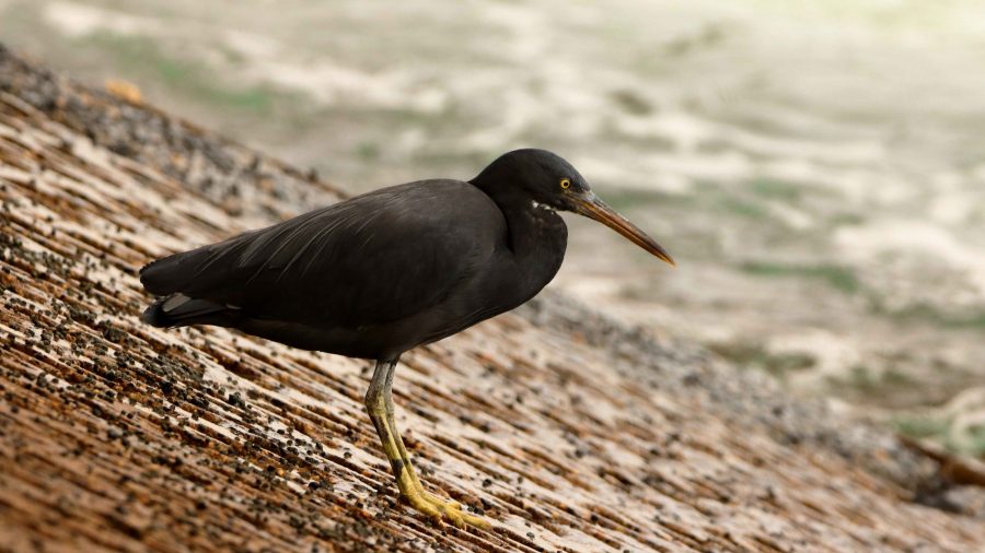
This Eastern Reef Egret looks like it is a bit cold

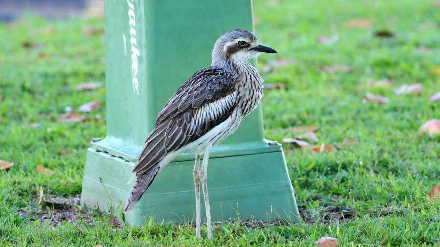
Back in Cairns the weather was fine. We were welcomed back to our parked car by the largest group of Bush-stone Curlews that I had ever seen. But my hands were too full of bits and pieces from the day out for me to take a photo.
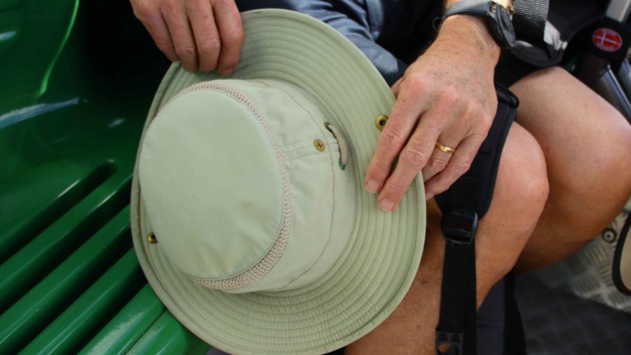
My lost and lementad hat
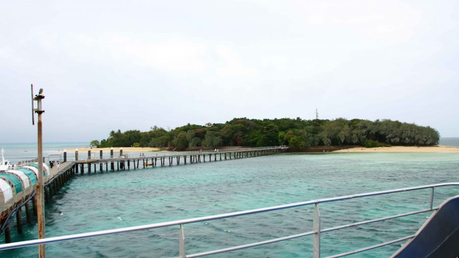
Green Island and ferry jetty, from the ferry
A photo from the previous day of a Bush-stone Curlew

We returned to our unit via a laundromat. The washing had been accumulating.

Interrupted Journey – North Queensland 2022 – Part 7

Travelling Home

A video link appears at the bottom of this blog post.

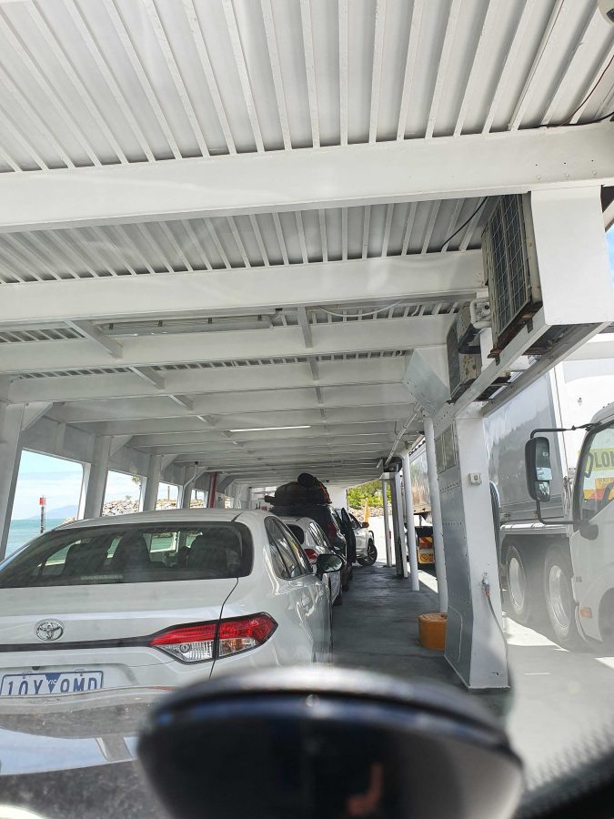
On Board the Magnetic Island Ferry

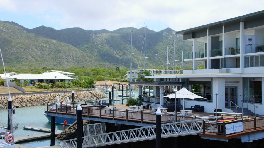
On disembarking from the Magnetic Island ferry, we headed directly to Bowen, pausing only for necessities and roadwork. We stayed at the Bowen Arrow Motel. Now, who could resist it with a name like that?

More roadworks south of Bowen. One 20 km strip with 15 km at 60 kph and the other 5 at 80 kph. Traffic was not heavy, so the drive was pleasant. The skies were partly cloudy with enough sprinkles at Proserpine to kick the automatic wipers into action for a swish or two.

We used the Mackay Ring Road for the first time. It completely misses the city, leaving the Bruce (north bound) at the BP truck stop south of town, runs west for about 3 km and then turns north to re-join the Bruce near Farleigh sugar mill. Three km at 80 kph and 8 at 100 kph. Saves a bit of time and city traffic.

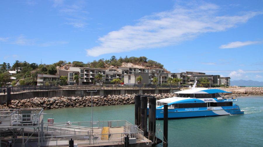
Ferry Arriving at Nelly Bay.
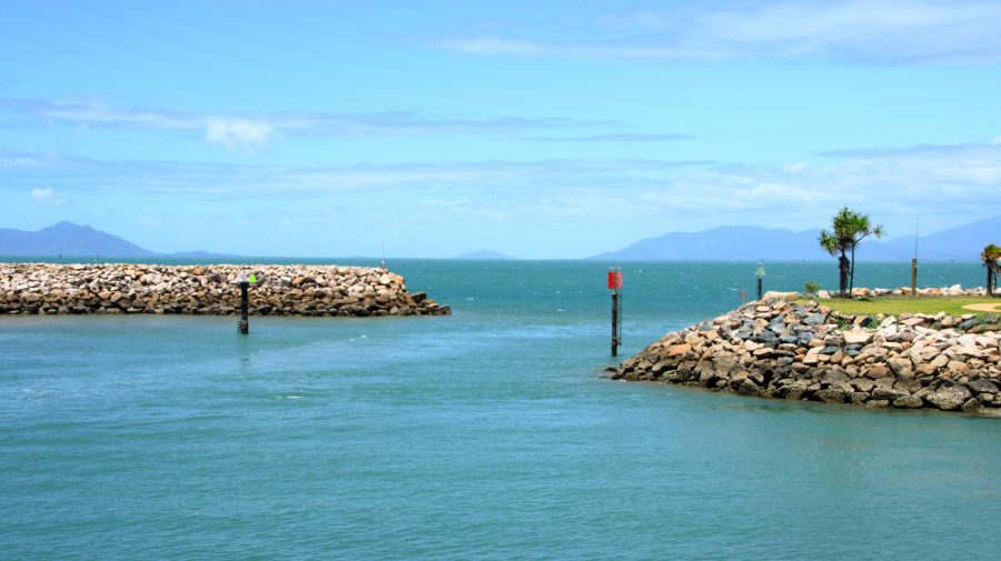
Nelly Bay Harbour Entrance from Inside.

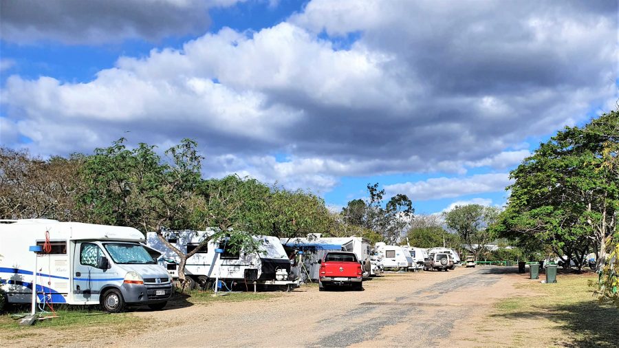
If you break a Bowen to Brisbane trip into three days travel, then Marlborough is where you end up on the first night. We have stayed there in the caravan, but never used the motel. It is dated, perhaps bit tired, but so are we. But we had a comfortable night and a good meal in the restaurant. There are also workers camps on site, so they get good patronage from camp occupants.

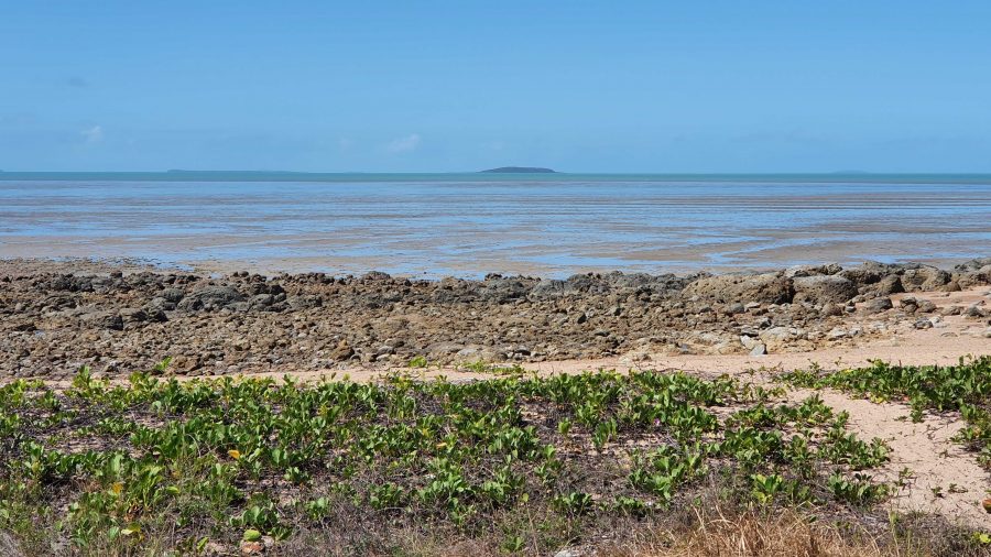
Our Lunchtime View at Clairview.
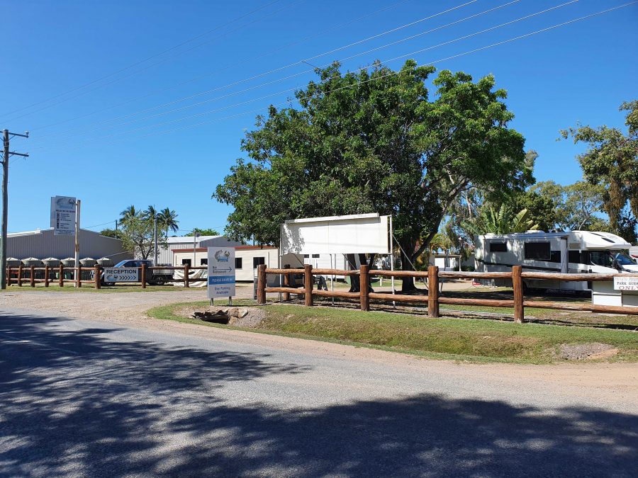
BarraCrab Caravan Park at Clairview.
Caravans at Marlborough Motel & Caravan Park.

We stopped for lunch at Clairview. The caravan park has grown and is now called the BarraCrab Caravan Park and boasts a bistro and bar. But we ate our sandwiches seated in a picnic shelter overlooking the Coral Sea….with the tide out.

The final two days of our trip were just more driving but keeping daily distance to about 400 km. We did morning coffee at a pie cart at the south of Rockhampton.

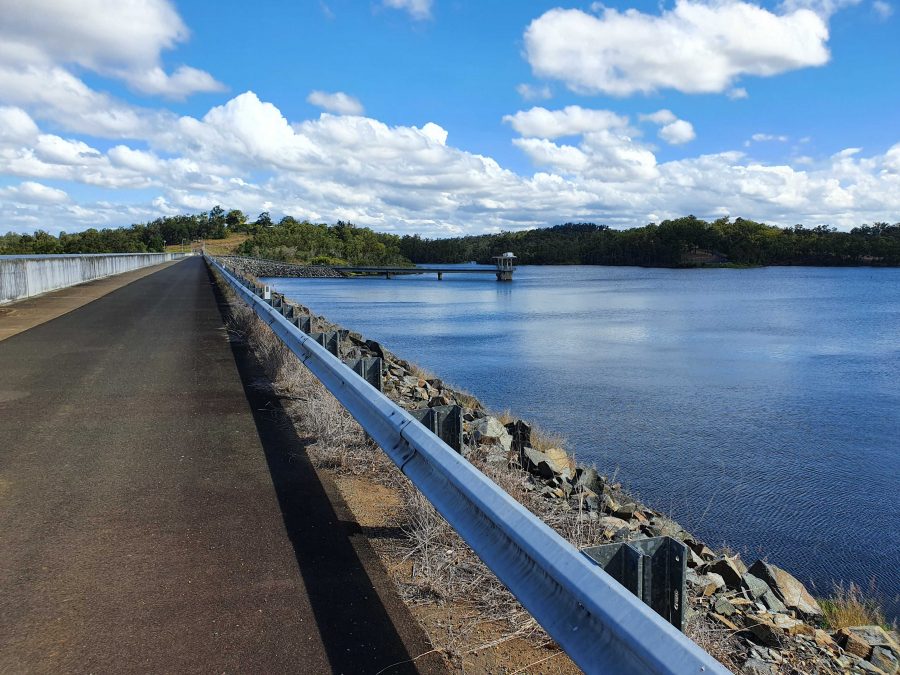
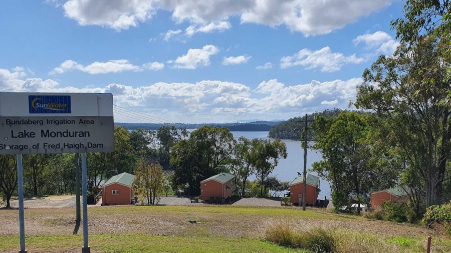
We turned off at Fred Haig Dam, just north of Gin Gin. This dam holds back the waters of Lake Monduran. It supplies irrigation water to Bundaberg primary producers. We had spent a night there about 12 years ago. It has a good caravan park, built below the retaining wall and patronised by Barramundi fishermen.

We spent Saturday night at Childers in a pleasant motel on the southern end of town. Childers proved to be the start of cool wet weather. We had intermittent rain all the way home.

A View From the Top Deck of the Ferry.

South of Maryborough, in fact south of Tiaro, a sign by the highway advises of a tourist drive through Bauple. We have both seen and ignored it many times. But this was the day that we finally succumbed to curiosity and took the drive.

The Retaining Wall at Fred Haig Dam.

Bauple is a small, old town but that is about all. Not much there but we did see a sign advising of a “bypass meeting” which suggests that the highway diversion around Gympie might just be diverting through Bauple. We didn’t stop for photos

It was too wet for a picnic morning coffee so we called at The Coffee Club at Gympie. This store of TCC has about the best range of cakes of any and seems to be a popular meeting place for Gympieites. It is always busy.

We arrived home at about 12.30 pm and got on with unpacking. Another successful trip under our belt, despite being interrupted.
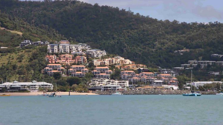
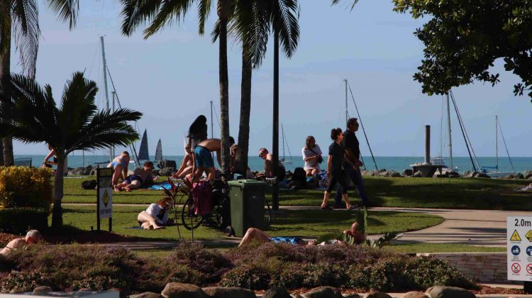
Guest Cabins Overlook Lake Monduran.

Thanks, Ruth, for agreeing to being dragged around the bush again. I am never so happy as when I am driving down another remote country road, in pursuit of another bit of Australiana. Ruth knows that you can’t take the bush out of the boy. Even when he has become an old boy.

Interrupted Journey – North Queensland 2022 – Part 1

Part 1 – The Whitsunday Islands

Note: A video link appears at the bottom of this blog post.

Please Note: There is a video of the day in the Whitsunday Islands ay the end of this post.

The Mobile Sheathers are mobile again. We left home on the morning of Wednesday 10th August, for a tour that was planned to absorb the remaining days in August. But unexpected events occurred.

Our view to Port Airlie approaches

We departed in sunshine, came through a cloudy period around Gympie, then fine to our overnight stop at Gladstone. Brilliant sunrise on Thursday morning could only be seen through a window, without getting dressed and going outside, so no sunrise photograph.

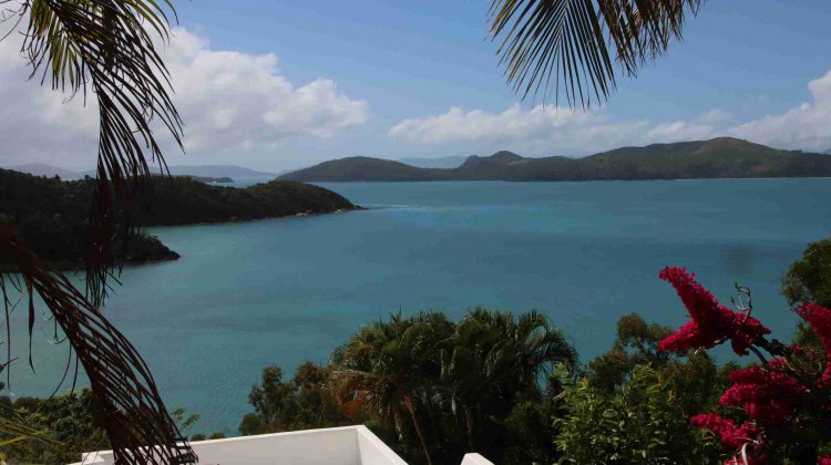
A bit of rain south of Sarina and a bit more between Mackay and Proserpine but plenty of sun shining through the clouds as we topped the rise coming in to Airlie. We were able to enjoy that fantastic sunshine on blue water and green mountains view that is the reward for just getting there.

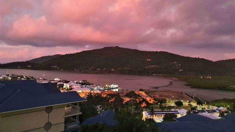
Whitsunday sunset from our balcony

We stayed at Club Wyndham, situated on the hill directly above the Port of Airlie, with little to obscure the view, after a fairly good drive, apart from road works. We estimate that at least 40% of the highway between Gympie and Gladstone has road works speed limits, 80, 60 or even 40 MPH if they get the chance. A bit frustrating but necessary. If you wonder why Australia is short of people to pick fruit, make coffee or all those other vacancies we keep hearing about, it is probably because so many are working building and repairing roads.

We enjoyed good weather at Airlie Beach, noticeably warmer than recent Redcliffe temperatures.  There has been early cloud, burning off to a clear afternoon.

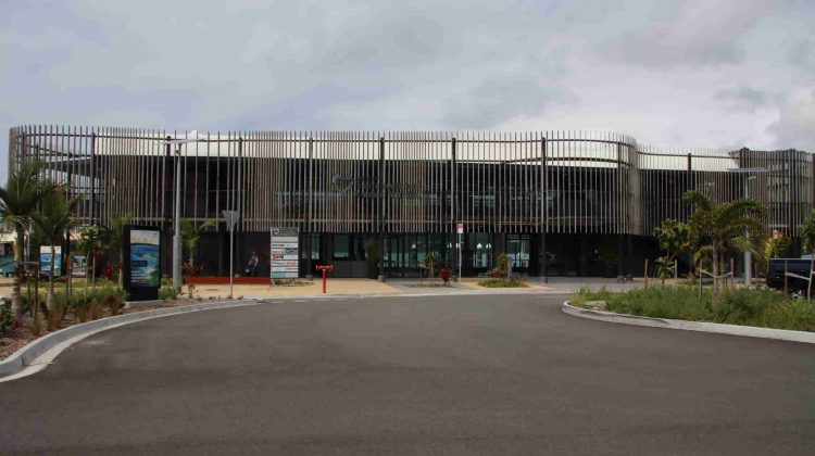
New Shute Harbour Passenger terminal

On Friday morning, our first day at Airlie, we drove out to Shute Harbour to check out the new passenger terminal, built since the last cyclone. We also checked the logistics of the cruise through the Whitsunday Islands that we planned to do for suitability for Ruth, who gave it the thumbs up. We booked for the following day.

A view of Shute Harbour from near the houses on Coral Point, accessed from the road that runs behind and above the Shute Harbour car parking area.

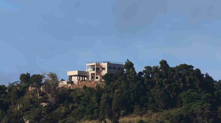
We did a drive around the residential area that overlooks Shute Harbour area, then drove out to Mandalay Point (the range of hills opposite to Airlie Beach) to check on how the rich people live, or at least the houses that they live in. Some are beautiful houses with magnificent views of the bays and headlands around the residential area. A few original fisherman’s shacks remain.

Units on the hill at Airlie Beach.
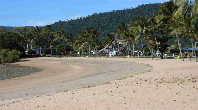
The beach at Airlie Beach at low tide.

After lunch we did a walk around the Airlie town, including enjoying an ice-cream. Then back to our resort for a rest and dinner. Club Wyndham is built on the steep hill that overlooks the town and port facility. It is very steep but that provides the views. It is a very nice resort. We are staying here through the kindness of our son and daughter-in-law.

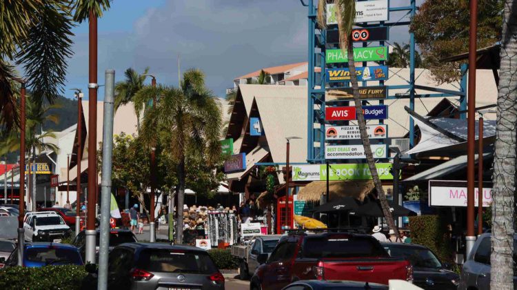
Shute Harbour Road in the heart of Airlie tourist strip
Poolside at Airlie, near the main beach
A recently completed mansion overlooks Airlie Beach
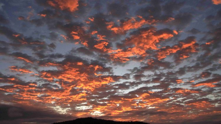
Cruise morning sunrise reflected on the clouds

On Saturday morning we drove out to Shute Harbour and boarded the “Nancy Wake”, our tour boat for the day.  From Shute Harbour we cruised past Daydream Island, through the Mole Passage and past the now unused South Mole Island where the once famous resort that was so badly damaged by Cyclone Debbie remains closed and unrepaired.

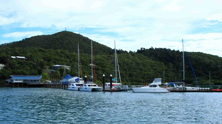
The charter yacht base at Shute Harbour

Our passage then led inside Cid Island and through the both picturesque and functional deep-water anchorage. The harbour was used for refuge for Naval vessels during WWII.

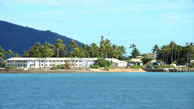
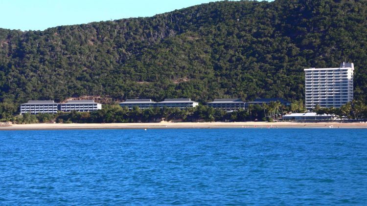
Daydream Island resort

The cruise continued through Hook Passage, the narrowing body of water between Hook & Whitsunday Islands and the shortest passage from Airlie and Shute Harbour to The Great Barrier Reef. The north-east part of Whitsunday is mountainous with precipitous drops to the sea. But not far along this coast is an inlet and Tongue Point, that provides a sheltered anchorage for vessels visiting Hill Inlet. A twenty-minute climb to the summit reveals sweeping views of Hill Inlet, Whitehaven Beach, Solway Passage and Haslewood Island.

A motor yacht making for Cid Harbour

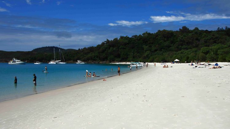
With all back on board, lunch was served, after which we moved on to anchor off the southern end of Whitehaven Beach, to allow passengers ashore for a guided walk, sunbake or swim. My legs were a bit tired from the climb to Hill Inlet Lookout but I did go ashore for a walk along the beach. We were anchored there for about two and a half hours, with plenty of company from private and other tourist boats and even a small amphibious aircraft.

The southern end of Whitehaven Beach . Swim, sun bake, snorkel, hike. Take your pick.
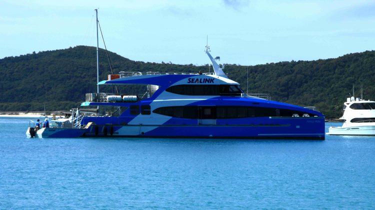
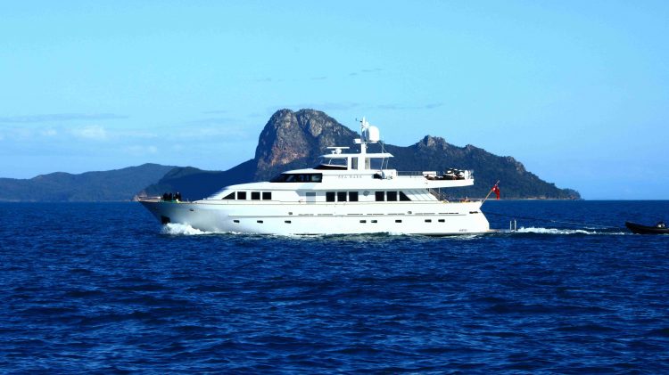
Our tour boat, “Nancy Wake”.
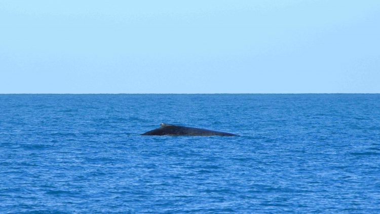
A breaching Whale off Solway Passage

With all hands back on board, afternoon tea was served. We then set off then to complete our journey. We continued south through Solway Passage where we came upon some Whales playing, so stopped to watch their show. After a pause of 10 minutes or so, the Whales dived and we moved on past Hamilton Island and the neighbouring Dent Island and returned to Shute Harbour.

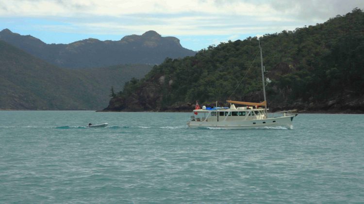
A Pleasure Boat passing Perseverance Island
The main Hamilton Island resort area
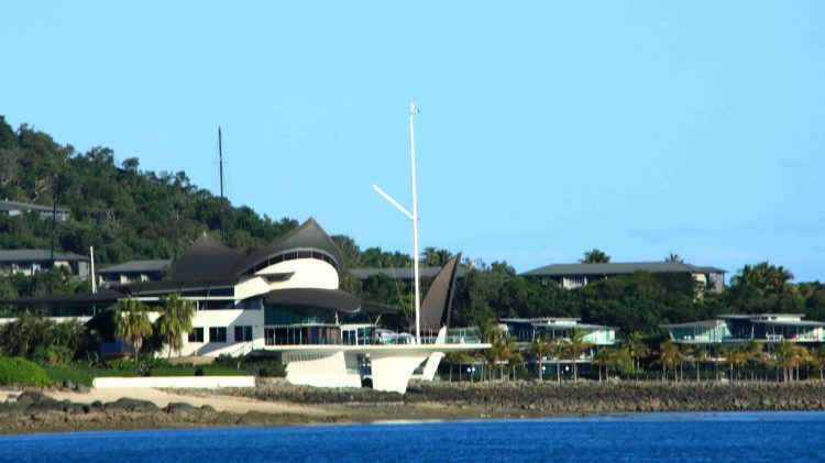
Hamilton Island Yacht Club and harbour entrance
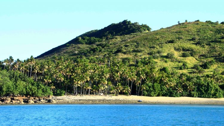
Dent Island. The residence of the original owners is among the trees in the centre foreground.

The cruises past Hamilton Island provided an excellent view of both the tourist facilities and the stunningly located private accommodation on the northern end if the Island. This is a rich persons’ playground. Hamilton island Week was about to commence. Some of the large racing yachts were visible as our cruise boat proceeded past the harbour entrance, before turning for home. The afternoon light on both island and water was pleasing, as the sun moved towards sunset.

Hamilton Island, viewed over the stern of “Nancy Wake” as we headed back to Shute Harbour.

We had enjoyed a very pleasant day, to say the least. Lots of sunshine, seascapes, mountains, resorts plus more food than we could comfortably eat. We will move on tomorrow, very contented with our short stay in this paradise.