Interrupted Journey – North Queensland 2022 – Part 7

Travelling Home

A video link appears at the bottom of this blog post.

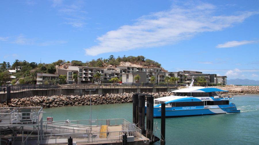
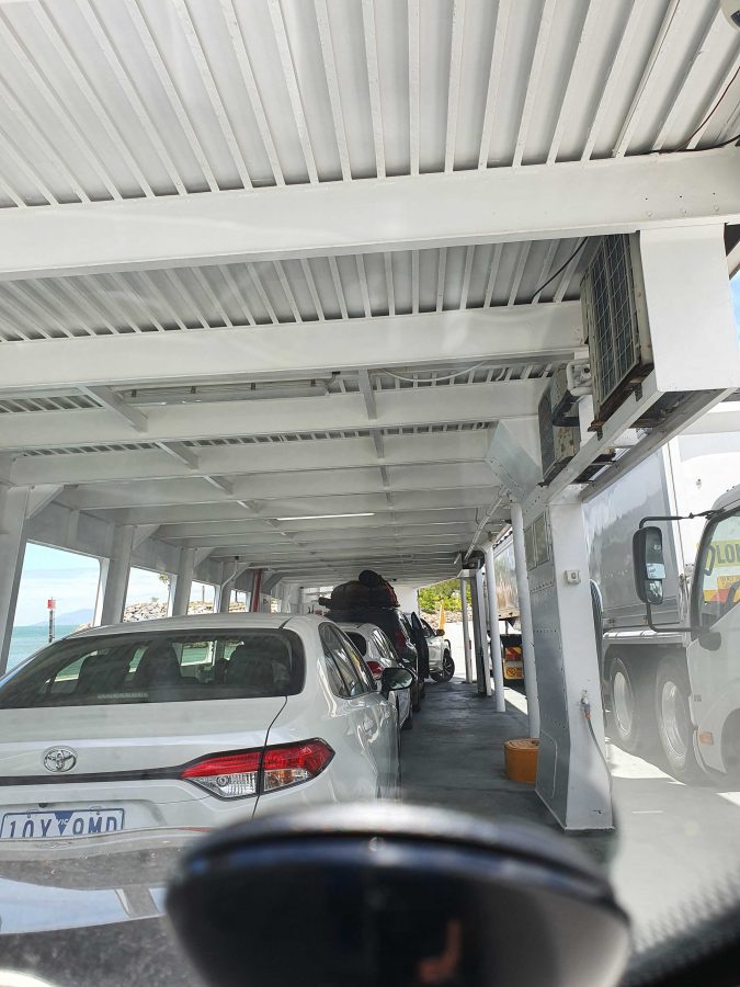
On Board the Magnetic Island Ferry

On disembarking from the Magnetic Island ferry, we headed directly to Bowen, pausing only for necessities and roadwork. We stayed at the Bowen Arrow Motel. Now, who could resist it with a name like that?

More roadworks south of Bowen. One 20 km strip with 15 km at 60 kph and the other 5 at 80 kph. Traffic was not heavy, so the drive was pleasant. The skies were partly cloudy with enough sprinkles at Proserpine to kick the automatic wipers into action for a swish or two.

We used the Mackay Ring Road for the first time. It completely misses the city, leaving the Bruce (north bound) at the BP truck stop south of town, runs west for about 3 km and then turns north to re-join the Bruce near Farleigh sugar mill. Three km at 80 kph and 8 at 100 kph. Saves a bit of time and city traffic.

Ferry Arriving at Nelly Bay.
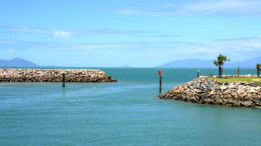
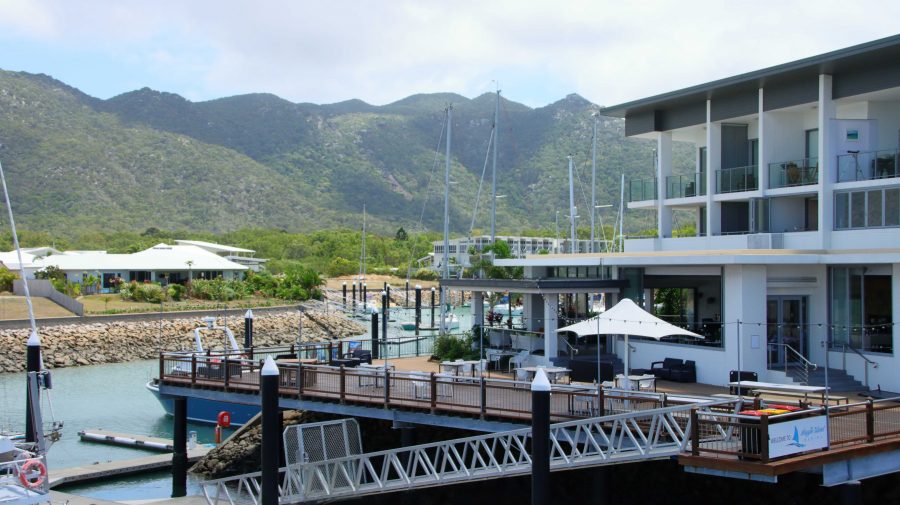
Nelly Bay Harbour Entrance from Inside.

If you break a Bowen to Brisbane trip into three days travel, then Marlborough is where you end up on the first night. We have stayed there in the caravan, but never used the motel. It is dated, perhaps bit tired, but so are we. But we had a comfortable night and a good meal in the restaurant. There are also workers camps on site, so they get good patronage from camp occupants.

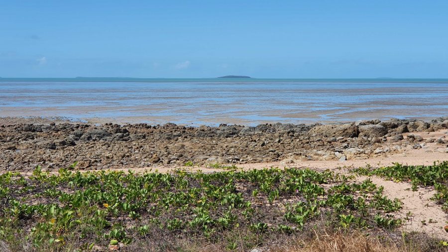
Our Lunchtime View at Clairview.
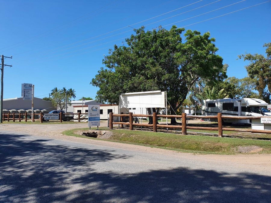
BarraCrab Caravan Park at Clairview.
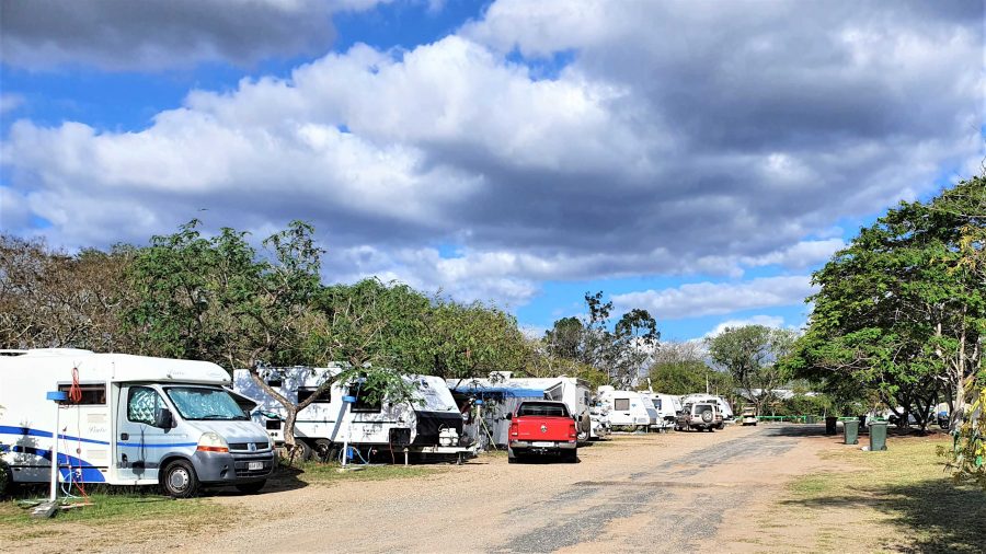
Caravans at Marlborough Motel & Caravan Park.

We stopped for lunch at Clairview. The caravan park has grown and is now called the BarraCrab Caravan Park and boasts a bistro and bar. But we ate our sandwiches seated in a picnic shelter overlooking the Coral Sea….with the tide out.

The final two days of our trip were just more driving but keeping daily distance to about 400 km. We did morning coffee at a pie cart at the south of Rockhampton.

We turned off at Fred Haig Dam, just north of Gin Gin. This dam holds back the waters of Lake Monduran. It supplies irrigation water to Bundaberg primary producers. We had spent a night there about 12 years ago. It has a good caravan park, built below the retaining wall and patronised by Barramundi fishermen.

We spent Saturday night at Childers in a pleasant motel on the southern end of town. Childers proved to be the start of cool wet weather. We had intermittent rain all the way home.

A View From the Top Deck of the Ferry.

South of Maryborough, in fact south of Tiaro, a sign by the highway advises of a tourist drive through Bauple. We have both seen and ignored it many times. But this was the day that we finally succumbed to curiosity and took the drive.

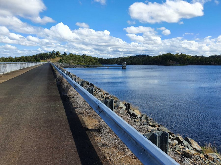
The Retaining Wall at Fred Haig Dam.

Bauple is a small, old town but that is about all. Not much there but we did see a sign advising of a “bypass meeting” which suggests that the highway diversion around Gympie might just be diverting through Bauple. We didn’t stop for photos

It was too wet for a picnic morning coffee so we called at The Coffee Club at Gympie. This store of TCC has about the best range of cakes of any and seems to be a popular meeting place for Gympieites. It is always busy.

We arrived home at about 12.30 pm and got on with unpacking. Another successful trip under our belt, despite being interrupted.

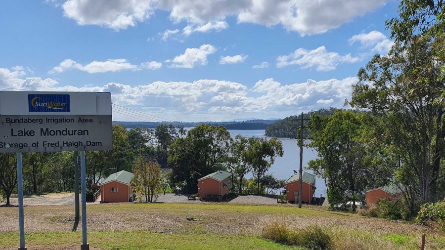
Guest Cabins Overlook Lake Monduran.

Thanks, Ruth, for agreeing to being dragged around the bush again. I am never so happy as when I am driving down another remote country road, in pursuit of another bit of Australiana. Ruth knows that you can’t take the bush out of the boy. Even when he has become an old boy.

West, Centre and Flinders – Days 1 to 4 – A Bridge and Aviation History

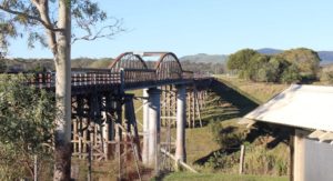
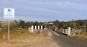
Dickabram Bridge

Dickabram Bridge

Some time ago, someone posted somewhere, a photo of Dickabram Bridge with a comment about an adjacent peaceful camping area. I noted it for future reference. When we settled with the Keith an Linda Giles on Burnett Heads as a meeting point we were committed to yet another trip up the Bruce Highway, but we wanted an overnight stop away from highway traffic. Dickabram Rest Area was just the ticket.

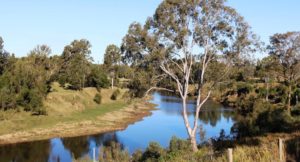
The Mary River upstream of the bridge

The Mary River upstream of the bridge

The turn from the highway is to the left at the small town of Gunalda, about 15 km north of the intersection of the Bruce Highway with the Wide Bay (or Bunya) Highway. The road is narrow but sealed and passes through woodlands and cane fields. The bridge carries the road over the Mary River near the remains of the town of Miva. The road then joins the Bauple Woolooga Road. This makes it something of a short cut to the South Burnett area, as we found during the afternoon and evening.

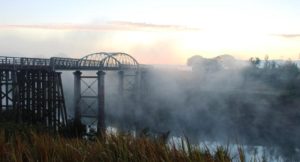
The bridge in the morning fog

The bridge in the morning fog

The bridge is heritage listed, as it is one of two of its kind in Australia. It has two lanes, one that carries road traffic and one that formally carried the railway. The line has long been closed, but the rails remain. The bridge is mainly of timber construction with a planked deck, the planks running at right angles to the direction of travel. We lived within hearing distance to a bridge planked in this manner when I was a child. They are a recipe for noise.

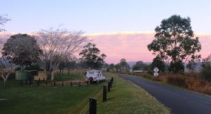
A cloud bank illuminated by the sun rise behind the camping area

A cloud bank illuminated by the sun rise behind the camping area

A unique feature of the bridge is the steel tube trusses that support the centre part that is actually over the river itself. The other trusses are of timber. The bridge was opened in 1886, completing a link to Kilkivan. The structure is 191 meters long and stands 23 meters above the river. Its decking has only once been under flood waters, quite early in its life, in 1893, but many floods have raged between its trusses since then, without bringing it down.

The deck of the bridge with the rails still in place

The deck of the bridge with the rails still in place

There is not much left of Miva. Its heyday seems to have been during bridge construction, when it was one of those towns that boasted a butcher, a baker and a candle stick maker and three pubs!

The camping area was quite, except when a vehicle was crossing and that occurred frequently during the late afternoon and quite a few times during the night. We were the only residents overnight but did entertain a travelling couple to afternoon tea. We took pity on them. Their caravan was damaged and they had been waiting for two weeks for it to be repaired and were living in a cabin at Gunalda while they waited. They had visited the bridge to help fill in some time. We assisted by extending the time taken for their visit to the bridge.

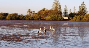
Pelicans at Burnett Heads

Pelicans at Burnett Heads

The next day we made our way back over the bridge as we moved on to Bundaberg and Burnett Heads. As had been the case the day before, we met an endless stream of caravans coming south. We arrived at the Burnett Heads Caravan Park at about 1.30 pm to find Keith and Linda Giles two caravans ahead of us in the check in queue.

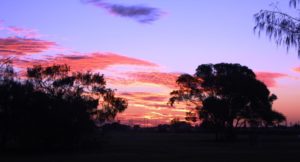
A crimson sunset

A crimson sunset

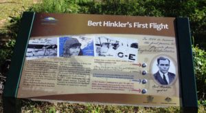
The arrangement was really about spending some time with them, but on Wednesday we went together to visit the Hinkler Hall of Aviation. Almost everyone has heard of aviator Bert Hinkler and most people know that his home was in Bundaberg. He came to fame in Europe but it all started in Bundaberg.


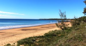
A tribute to Bert Hinkler at Mon Repos Beach

A tribute to Bert Hinkler at Mon Repos Beach

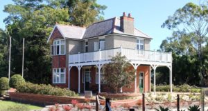
I had no idea that he designed and built his own glider, taking inspiration for his design from the study of the ibis. His glider actually flew a mere ten years after the Wright Brothers first successful flight, on what is now Mon Repos Beach, now better known for its popularity with the Loggerhead Turtle as a breeding ground. It was named after Hinkler’s home in England. This house now stands in the gardens at Bundaberg North, having been reconstructed brick by brick after being dismantled and moved to Bundaberg.

The beach where the first flight took place

The beach where the first flight took place

We visited the house several years ago. Now it stands next to a large building that contains the story of Hinkler’s life and many of the aircraft, some of them replicas, with which he was involved throughout his life.  He became a pilot, served with distinction during the First World War, reaching the rank of Squadron Leader, and of course was the first aviator to fly solo from England to Australia. But he was a gifted engineer and inventor. Many of his inventions are still in use today.

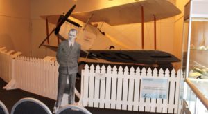
A Bert Hinkler cutout in front of his famous aircraft

A Bert Hinkler cutout in front of his famous aircraft

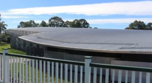
The Hall of Aviation is an extensive building with a roof shaped in the style of an aircraft wing. Inside is an extensive display that features several aircraft but has video booths, wall mounted illustrated story boards, flight simulators and even simulators that allows visitors to experience the sensation of flying a glider of the type that Hinkler built.

The Hinkler home relocated from England

The Hinkler home relocated from England

A visit is to be absolutely recommended.


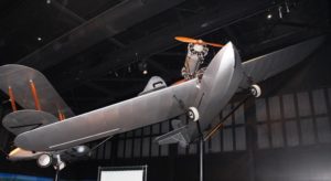
A Hinkler designed amphibious airfraft

A Hinkler designed amphibious airfraft

The aircraft wing shaped roof of the building

The aircraft wing shaped roof of the building

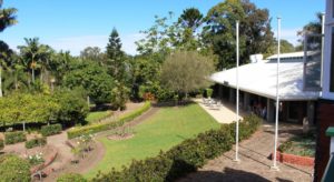
Gardens and cafe from the house balcony

Gardens and cafe from the house balcony

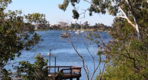
Cruising yachts on the Burnett River. The rum distillery is in the background.

Cruising yachts on the Burnett River. The rum distillery is in the background.

We returned to the city area to lunch, overlooking the Burnett River and after a bit of essential shopping returned to Burnett Heads for a second communal evening meal. This morning Keith and Linda continued their journey home to Castlemaine and we moved north to Baffle Creek for a couple of nights. We will post from Baffle Creek if anything worth reporting should occur.

Baffle Creek, incidentally, is south of the town of Seventeen Seventy. This part of Queensland is known as the Discovery Coast.