A video link appears at the bottom of this blog post.
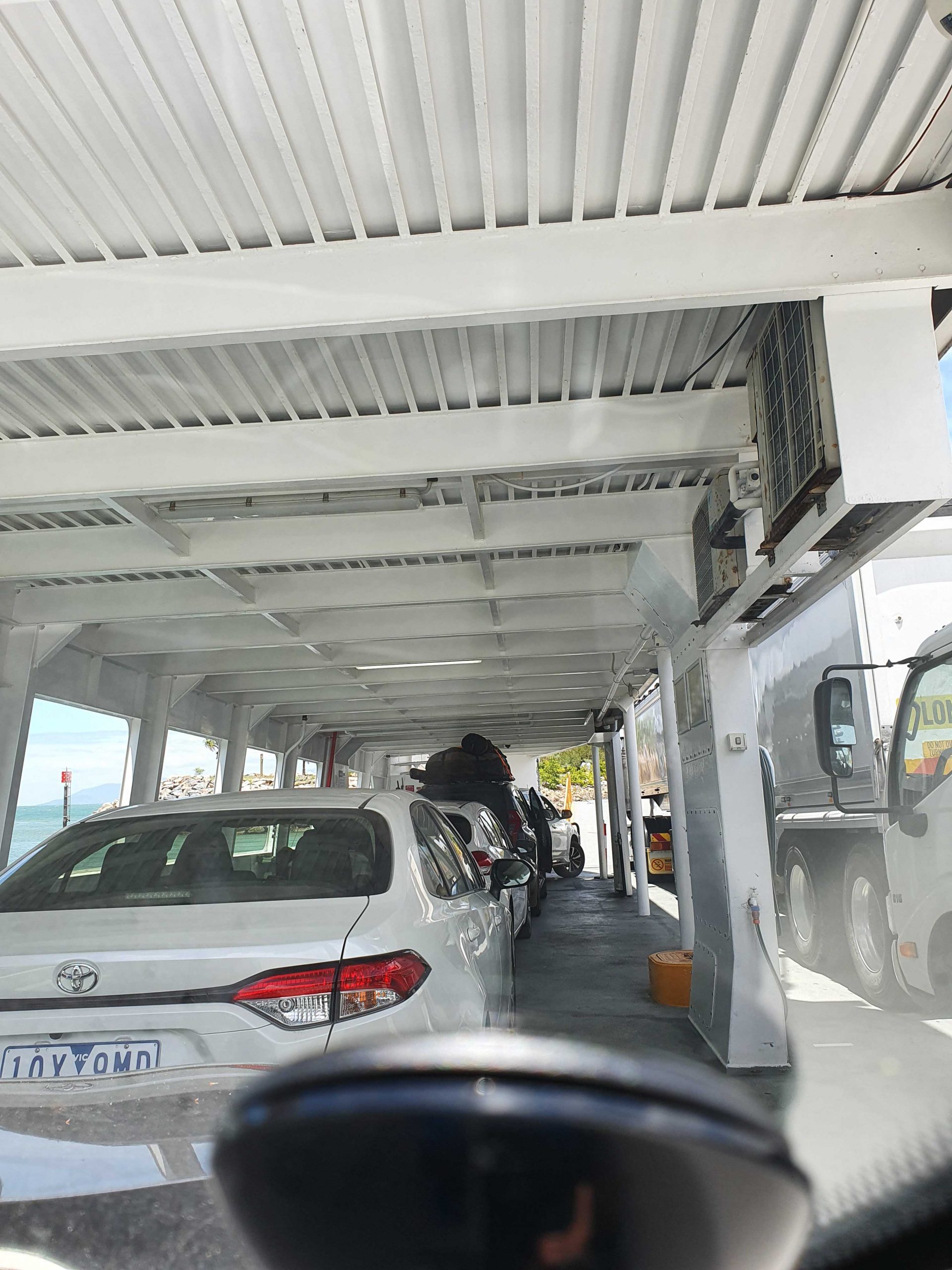
On Board the Magnetic Island Ferry
On disembarking from the Magnetic Island ferry, we headed directly to Bowen, pausing only for necessities and roadwork. We stayed at the Bowen Arrow Motel. Now, who could resist it with a name like that?
More roadworks south of Bowen. One 20 km strip with 15 km at 60 kph and the other 5 at 80 kph. Traffic was not heavy, so the drive was pleasant. The skies were partly cloudy with enough sprinkles at Proserpine to kick the automatic wipers into action for a swish or two.
We used the Mackay Ring Road for the first time. It completely misses the city, leaving the Bruce (north bound) at the BP truck stop south of town, runs west for about 3 km and then turns north to re-join the Bruce near Farleigh sugar mill. Three km at 80 kph and 8 at 100 kph. Saves a bit of time and city traffic.
Ferry Arriving at Nelly Bay.
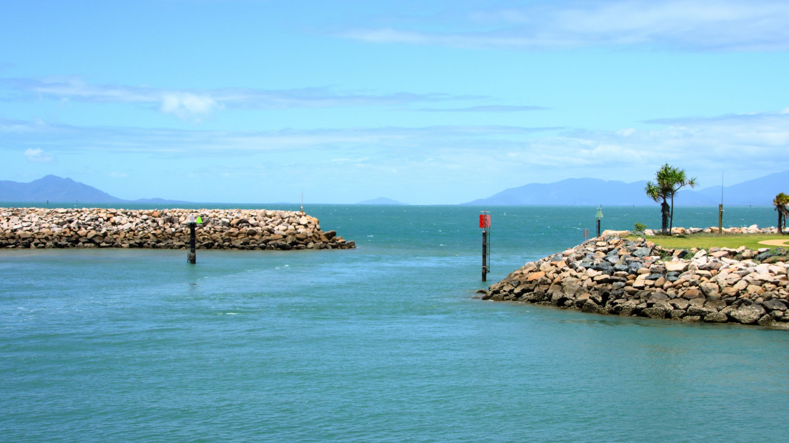
Nelly Bay Harbour Entrance from Inside.
If you break a Bowen to Brisbane trip into three days travel, then Marlborough is where you end up on the first night. We have stayed there in the caravan, but never used the motel. It is dated, perhaps bit tired, but so are we. But we had a comfortable night and a good meal in the restaurant. There are also workers camps on site, so they get good patronage from camp occupants.
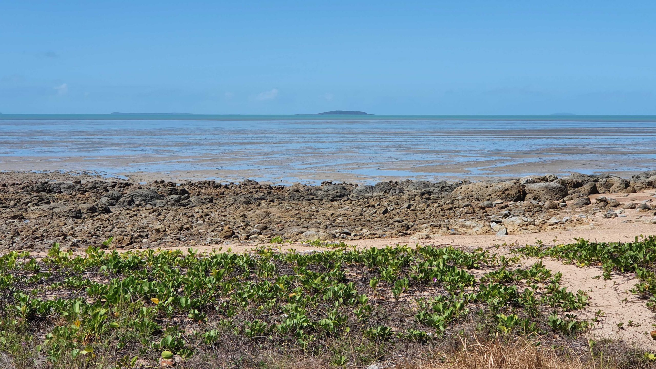
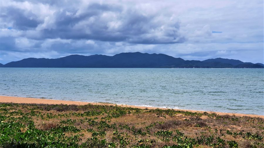
Our Lunchtime View at Clairview.
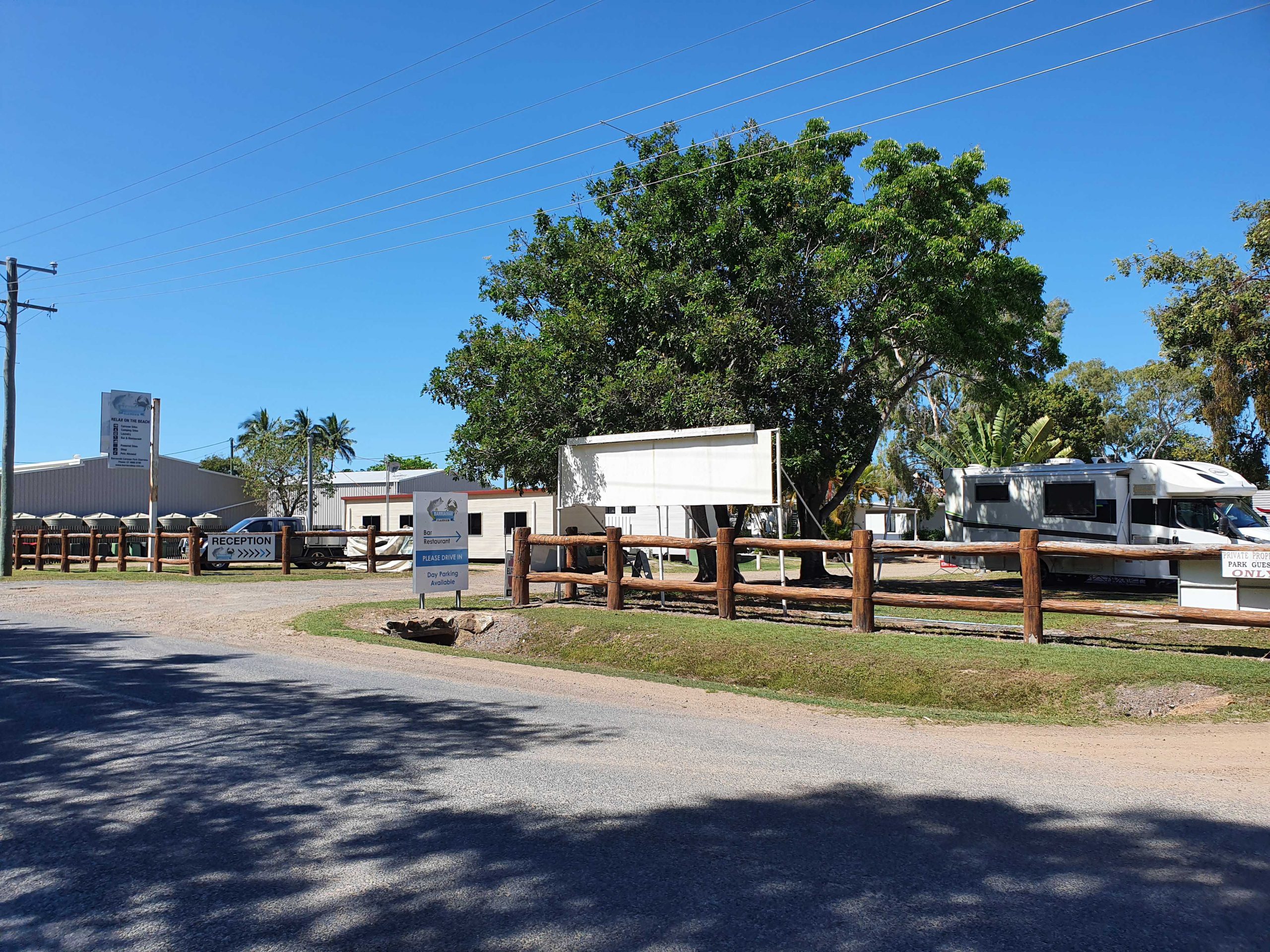
BarraCrab Caravan Park at Clairview.
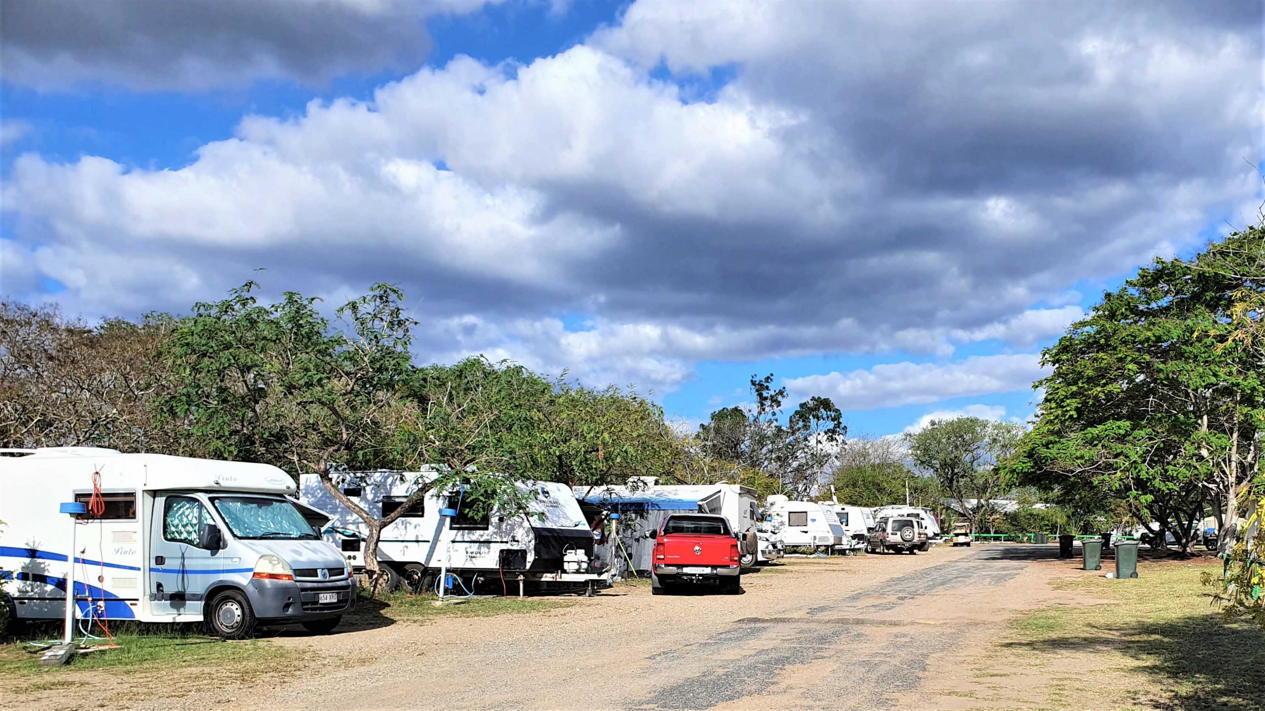
Caravans at Marlborough Motel & Caravan Park.
We stopped for lunch at Clairview. The caravan park has grown and is now called the BarraCrab Caravan Park and boasts a bistro and bar. But we ate our sandwiches seated in a picnic shelter overlooking the Coral Sea….with the tide out.
The final two days of our trip were just more driving but keeping daily distance to about 400 km. We did morning coffee at a pie cart at the south of Rockhampton.
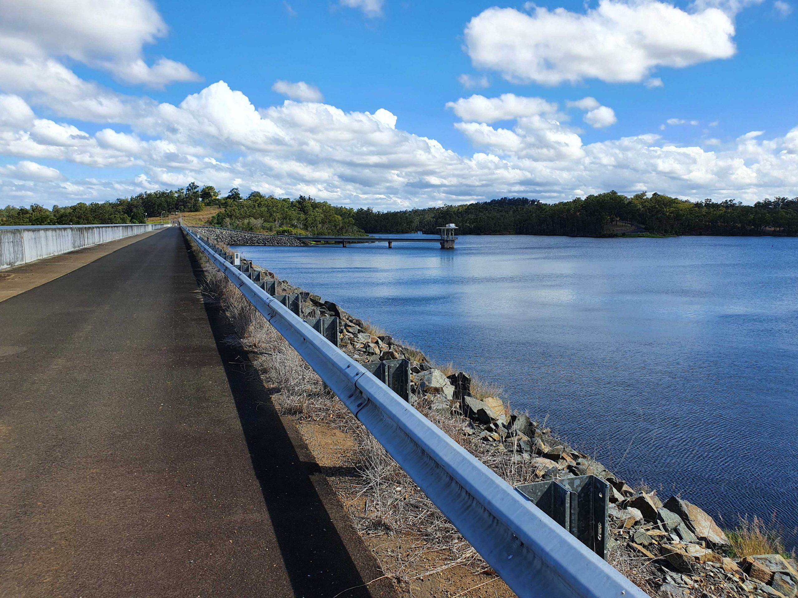
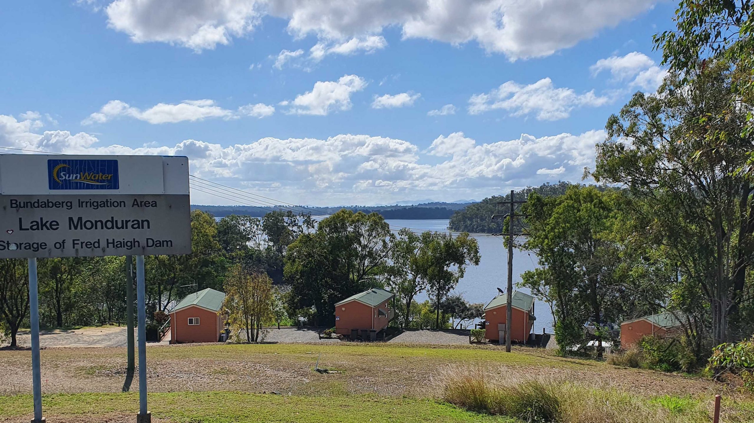
We turned off at Fred Haig Dam, just north of Gin Gin. This dam holds back the waters of Lake Monduran. It supplies irrigation water to Bundaberg primary producers. We had spent a night there about 12 years ago. It has a good caravan park, built below the retaining wall and patronised by Barramundi fishermen.
We spent Saturday night at Childers in a pleasant motel on the southern end of town. Childers proved to be the start of cool wet weather. We had intermittent rain all the way home.
A View From the Top Deck of the Ferry.
South of Maryborough, in fact south of Tiaro, a sign by the highway advises of a tourist drive through Bauple. We have both seen and ignored it many times. But this was the day that we finally succumbed to curiosity and took the drive.
The Retaining Wall at Fred Haig Dam.
Bauple is a small, old town but that is about all. Not much there but we did see a sign advising of a “bypass meeting” which suggests that the highway diversion around Gympie might just be diverting through Bauple. We didn’t stop for photos
It was too wet for a picnic morning coffee so we called at The Coffee Club at Gympie. This store of TCC has about the best range of cakes of any and seems to be a popular meeting place for Gympieites. It is always busy.
We arrived home at about 12.30 pm and got on with unpacking. Another successful trip under our belt, despite being interrupted.
Guest Cabins Overlook Lake Monduran.
Thanks, Ruth, for agreeing to being dragged around the bush again. I am never so happy as when I am driving down another remote country road, in pursuit of another bit of Australiana. Ruth knows that you can’t take the bush out of the boy. Even when he has become an old boy.
Note: A video link appears at the bottom of this blog post.
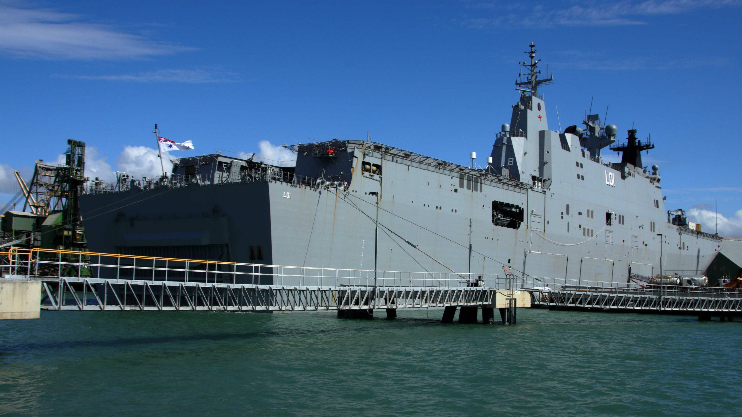
HMAS Adelaide in Townsville Harbour.
The ferry departed on time, turned in the limited width of Ross Creek and slowly made its way down the channel and out into the broader waters of Cleveland Bay. The harbour activities were on our right, including HMAS Adelaide, probably in port replenishing its supplies since it is a supply ship.
Reminder: Click on pictures to expand to full screen size.
Drilling Platform for Extension to Port of Townsville.
Substantial work is under way to increase the size of Townsville Harbour. As we cruised past we could see where work has commenced to construct footings for a sea wall to enclose a large area which will ultimately be pumped dry and filled, to allow the building of wharves and freight handling facilities. I understand that the existing port is literally bursting at the seams.
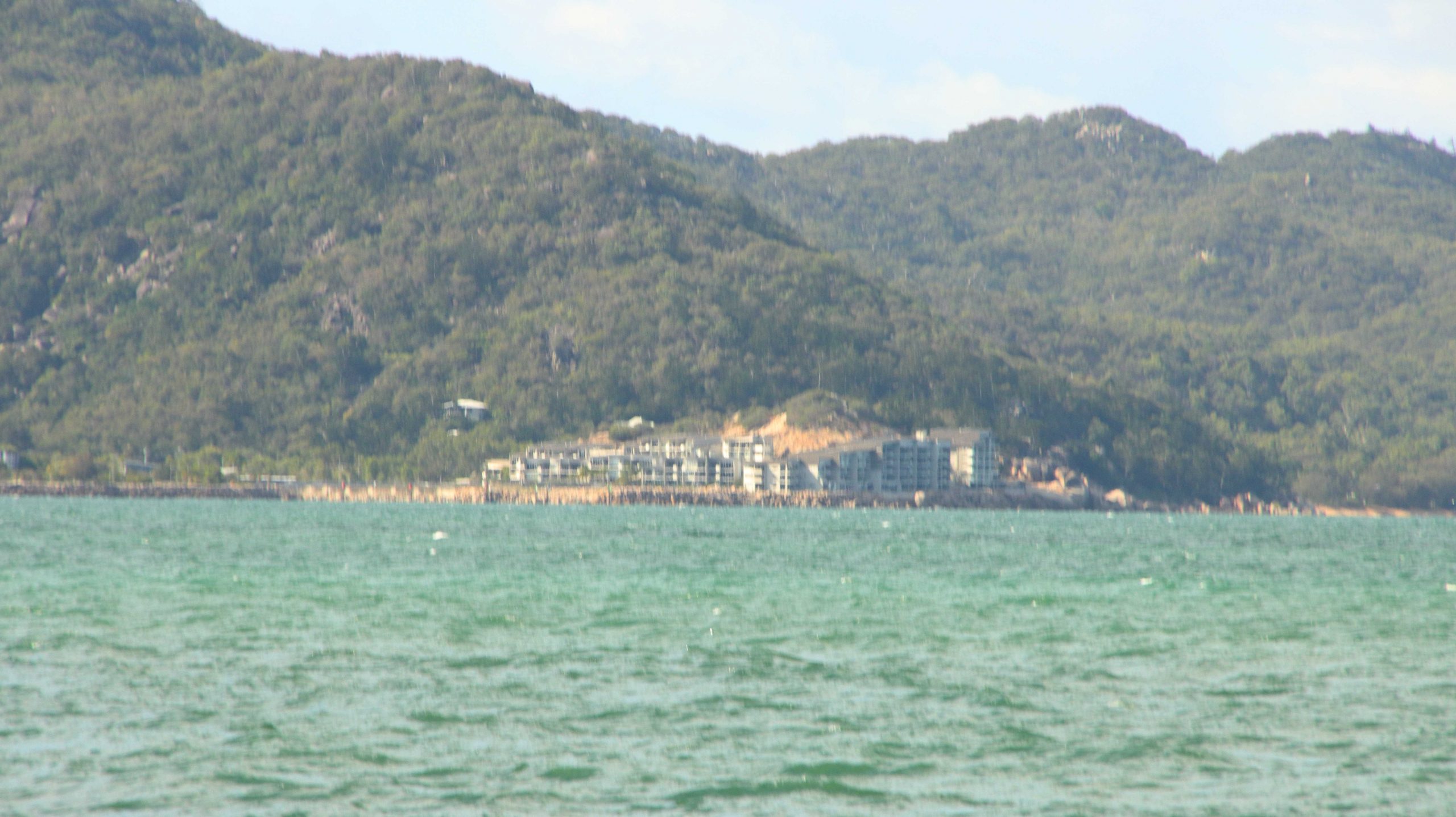
Distant Bright Point and Harbour Entrance
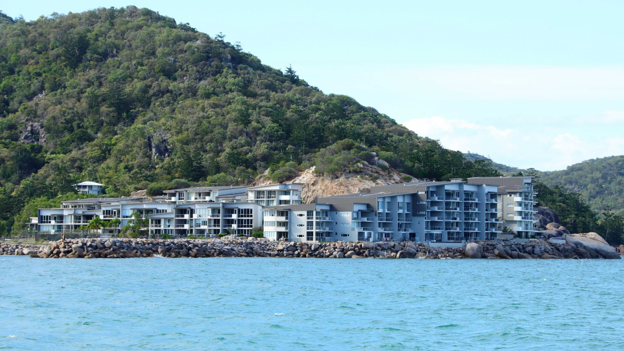
Luxury Units & Hotel on Bright Point, Nelly Bay.
SeaLink Ferry passing Luxury Units on Bright Point.
An Allied Rock Wallaby on a Rock. Eating.
Nelly Bay Beach. Picnic Bay is just over the point.
On our first day on the island we took it easy, with a slow start, although I did take a walk out onto the west side breakwater which was just down the street in front of our resort complex. After coffee we crossed the island to Horseshoe Bay and stayed for lunch. We returned in stages, looking at items of interest, such bays and headlands and other features.
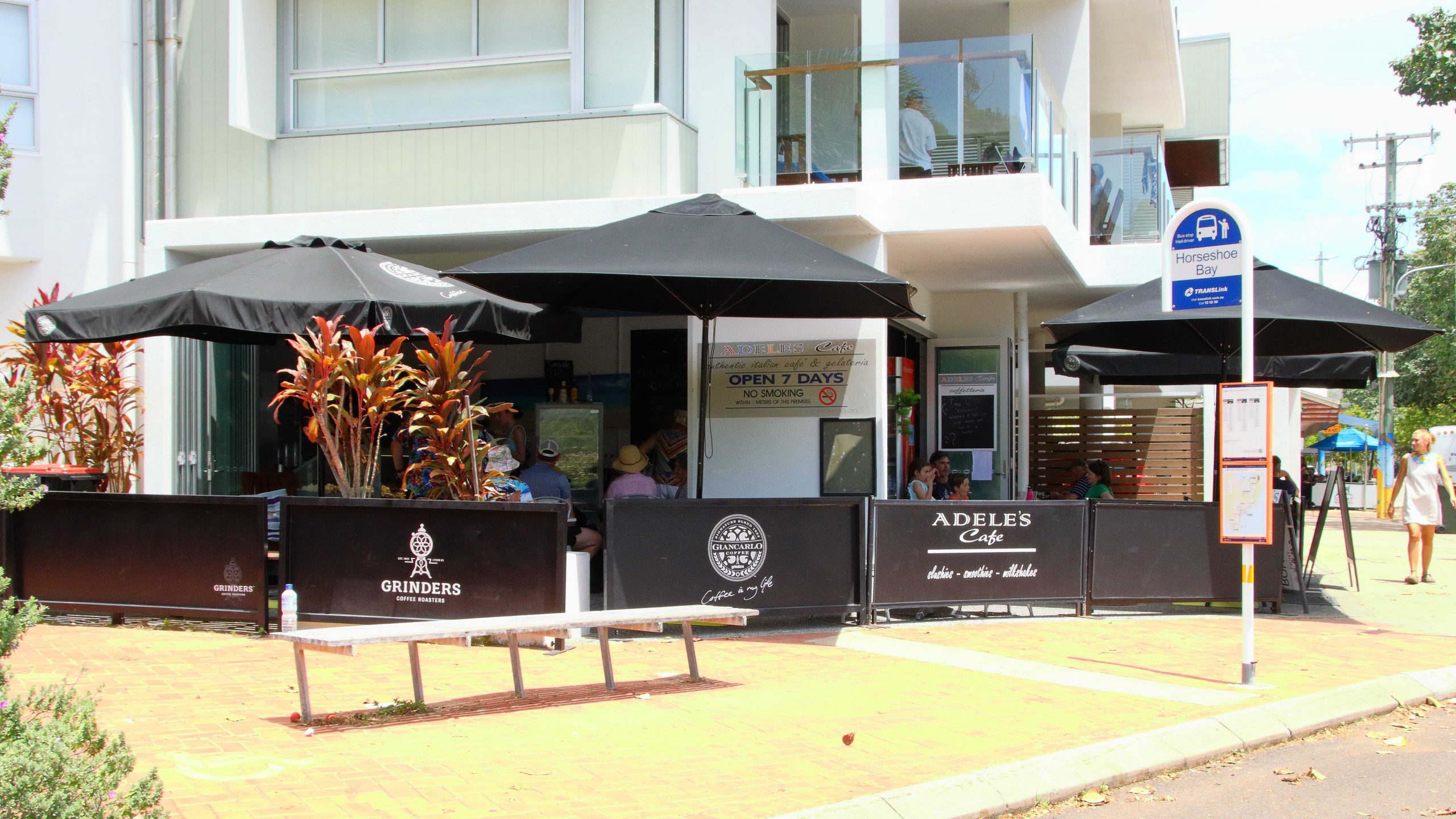
Adele’s Café at Horseshoe Bay. Lunch venue on the first day.
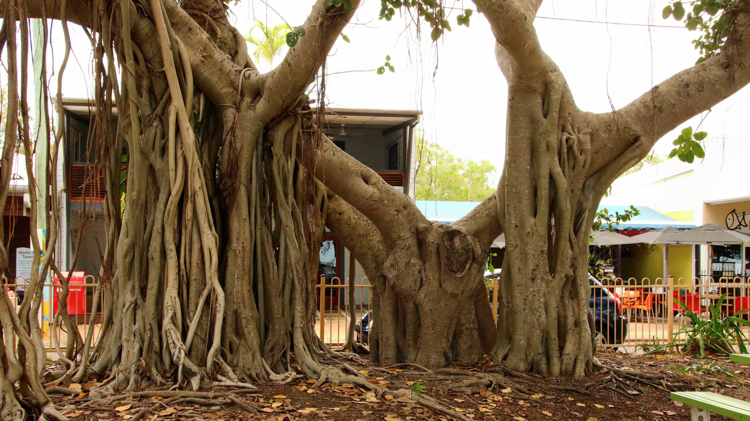
Large Banyan Trees are a Feature of the Horseshoe Beachfront.
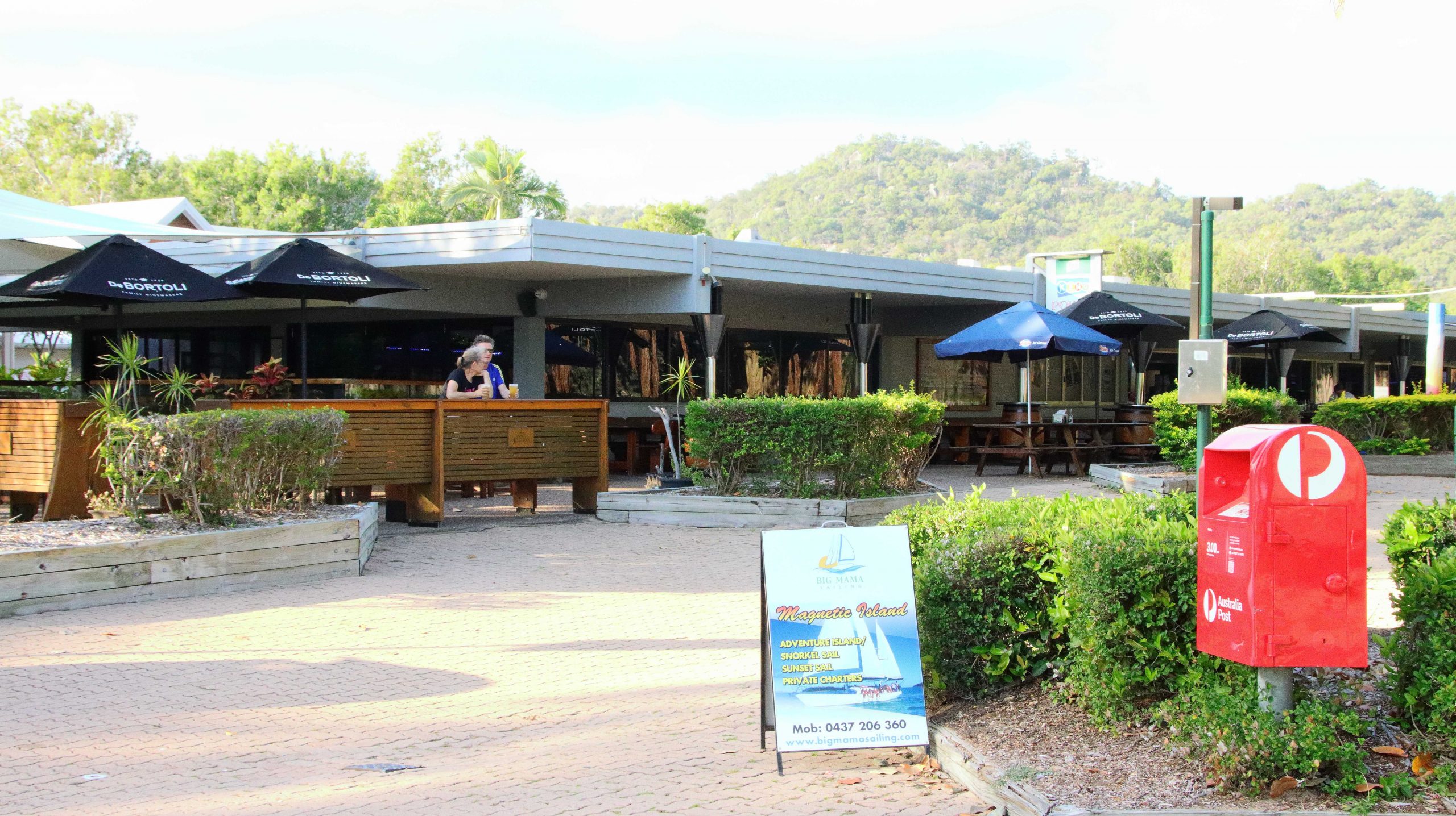
The ferry base is at Nelly Bay, near the southwest corner if the island. When you leave the ferry, if you drive to the left, you reach Picnic Bay, so named because in the early days Townsville residents would cross by boat to the nearest point on the island, for a picnic. It is a short drive. Just along Nelly Bay Beach, over a ridge and down to the town area, which is clustered around an hotel.
Allied Rock Wallaby Habitat.
Picnic Bay Jetty
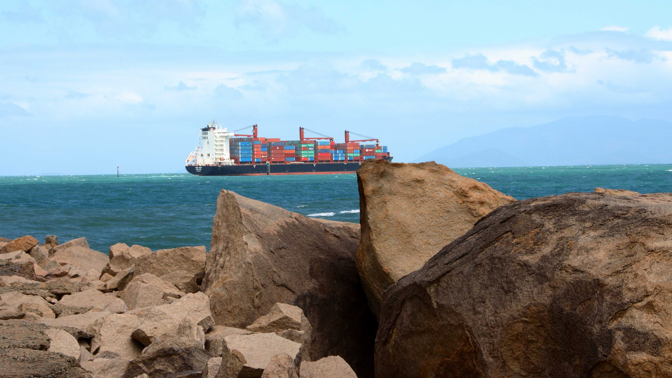
A Container Ship Passed Magnetic Island on its way to Townsville Harbour.
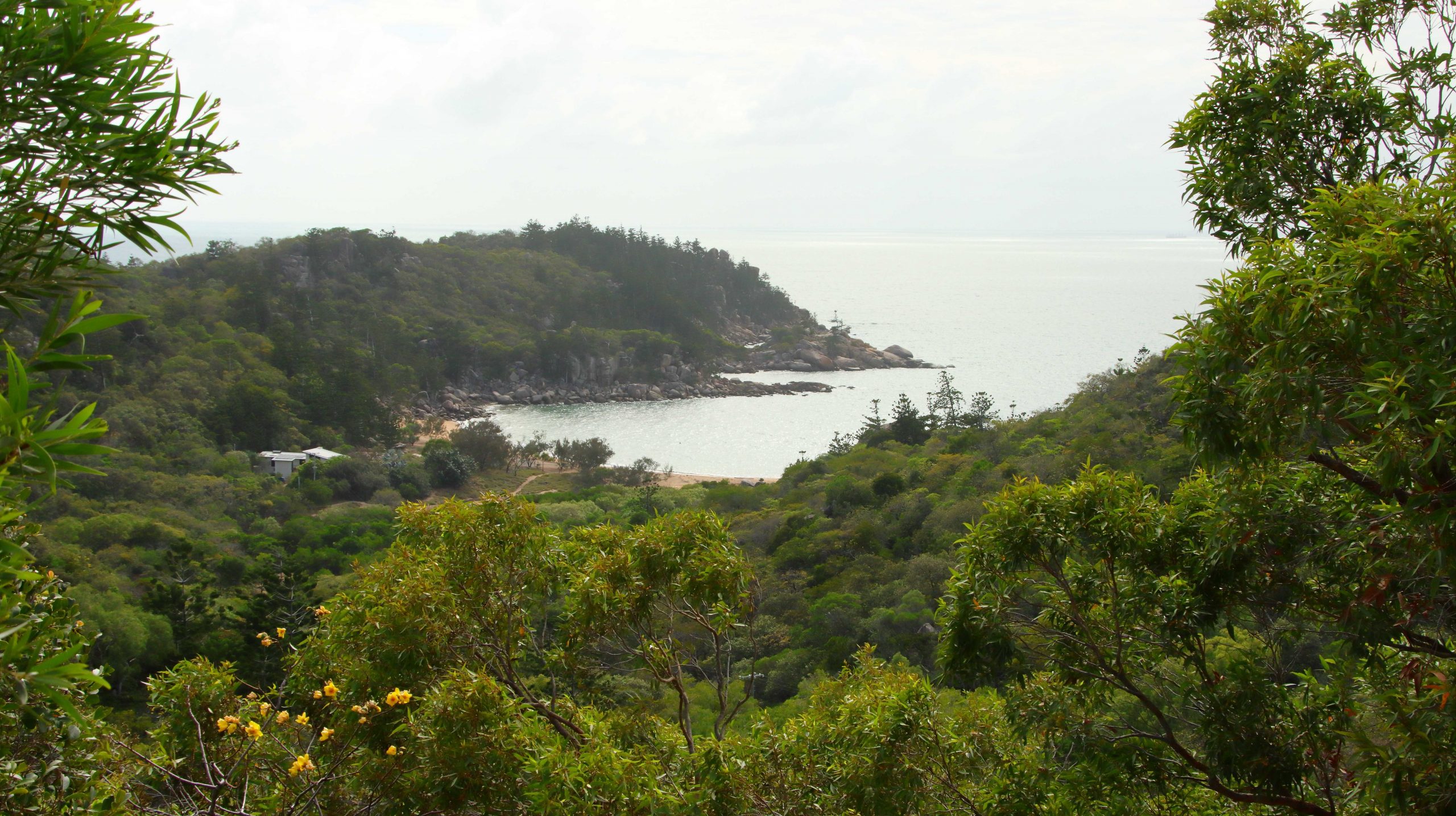
If you turn right from the ferry the road leads through Arcadia, then across the island to Horseshoe Bay. A national park occupies most of the island, which is in reality a huge pile of tree covered rocks with a coast which alternates between bays with sandy beaches divided by rocky promontories.
Picnic Point Hotel
The population centres are more a series of small residential towns than an island of holiday resorts, although some high-quality holiday accommodation and higher priced residential units have been built in recent years. Most residents commute to Townsville to work via the SeaLink passenger ferry. Parking spaces are at a premium during the day anywhere within walking distance of the ferry terminal.
We went looking for sunsets in the late afternoon, but the sun sets behind mangrove covered shores on the largely inaccessible north-western corner of the island, making the exercise a bit difficult. At least that is where the sun set while we were there. We gave up and went back to our unit.
The Original Vehicle Track to the Fort Area.
Balding Bay from the Fort Track.
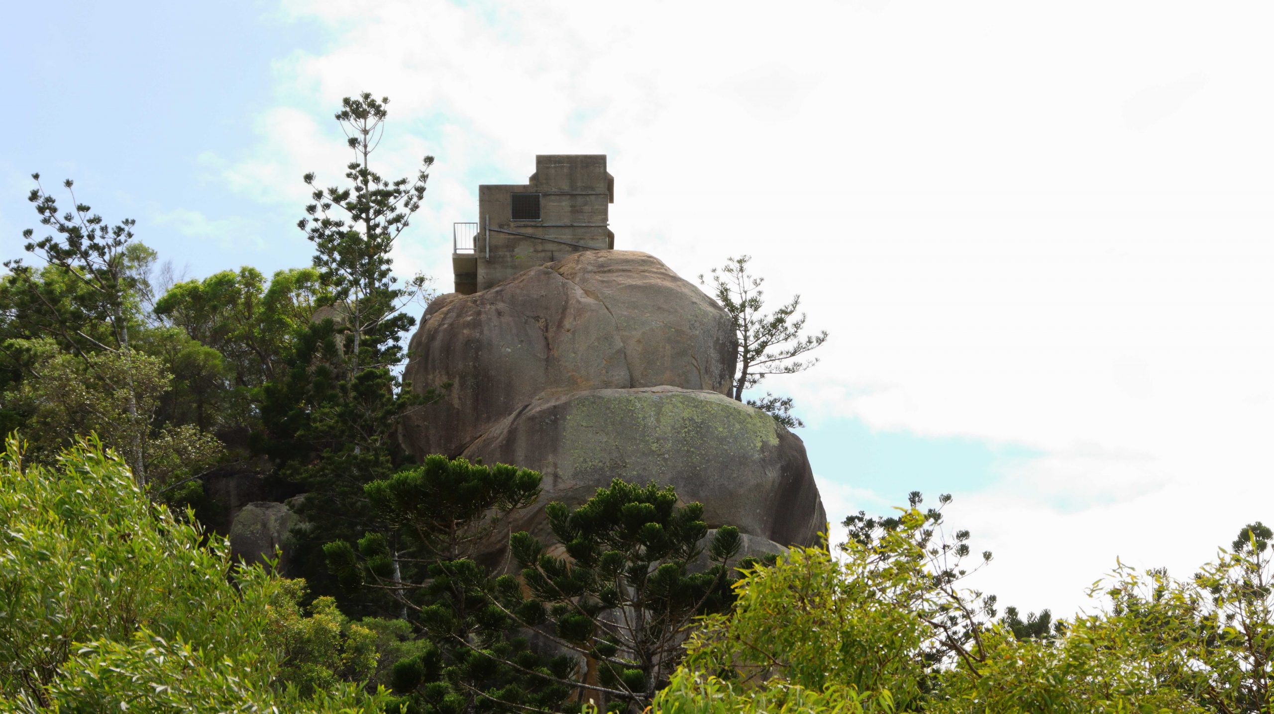
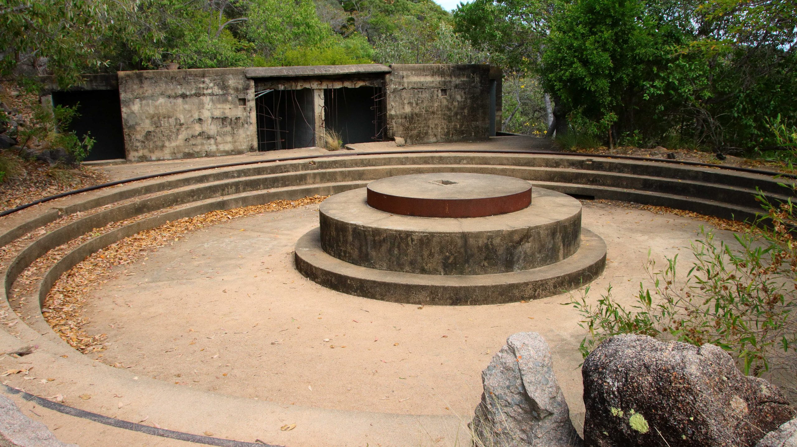
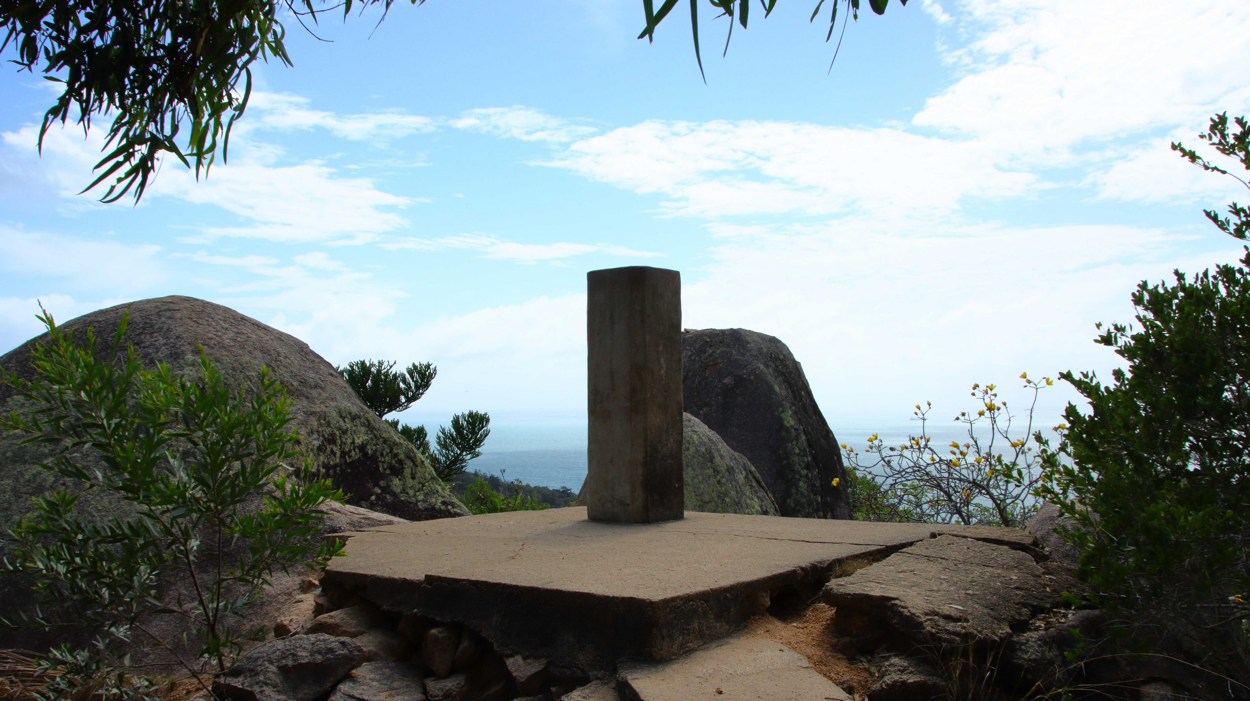
The Observation Post on Top of The Highest Peak.
Because the island is mountainous there are not many easy walks, certainly not that lead to elevated lookouts. On the morning of our second day, with no other plans made, I decided to set out on a walk to the area of military installations from WWII days. The access road that visitors use to access the site is the one built during the war. It is a fairly easy walk to the site of the camp but when you get there you are confronted with a long flight of rough stone steps, that lead up to the gun platforms and lookout posts. The ammunition magazine is part way up.
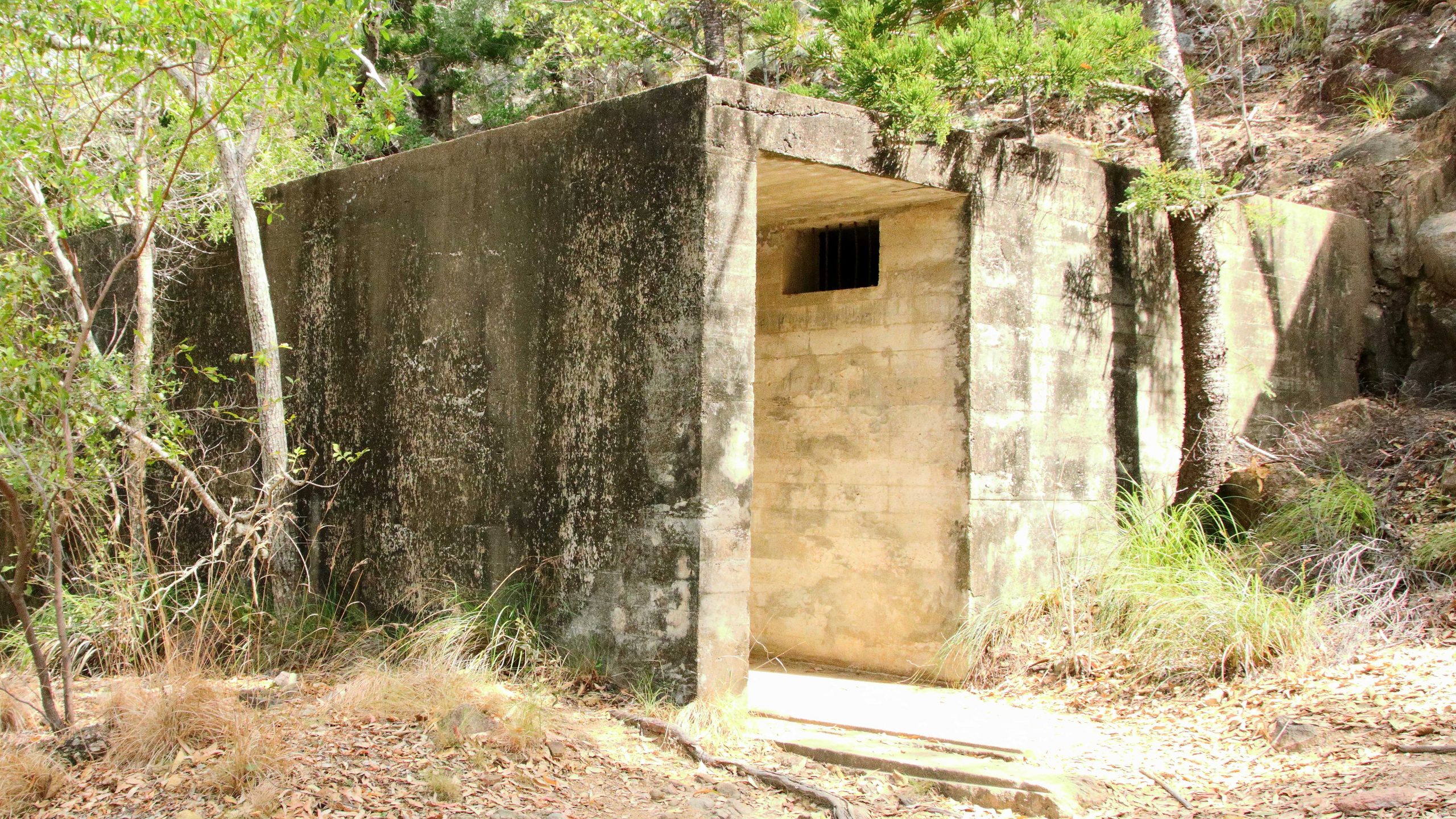
The Main Amination Magazine
One of Two Main Gun Mounts.
The Remains of the Range Finder.
The planners really did use the topography to advantage. There were two large guns, one placed higher than the other but placed to increase the arc of fire. There are two observation points for lookouts and signals, set on the highest rocks and a range finder to tell the guns how much powder they needed to reach the target. The construction would have been a huge challenge and I am glad that I was not one of the soldiers with the task of getting ammunition up to the guns.
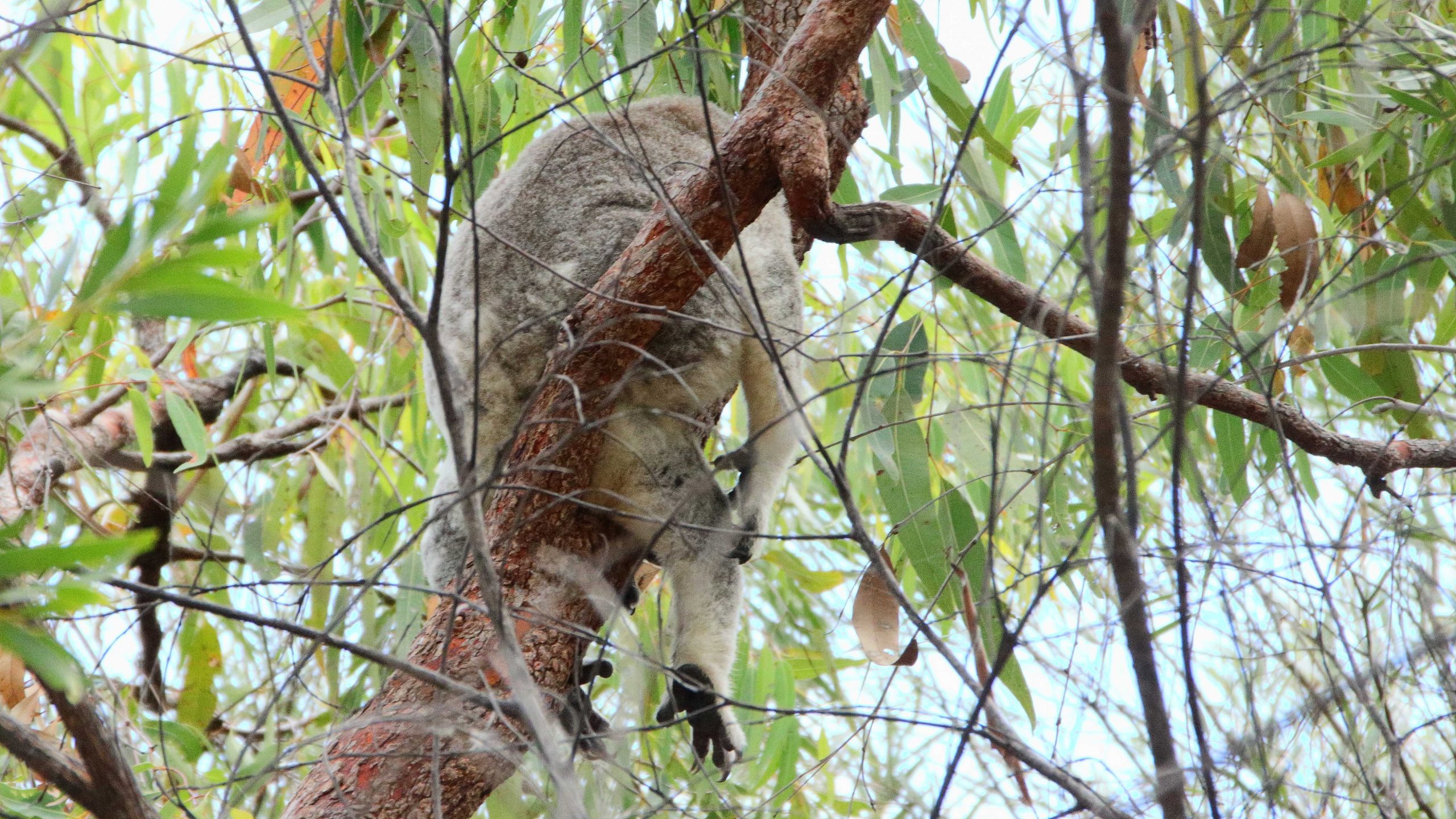
A Sleeping Koala
There are Koalas on Magnetic Island and the walk to the fortress passes through some of their habitat. I saw two of them, but not very clearly. They were not at all keen to show their faces.
I was rather tired when I got back to the unit. My smart watch told me that I had climbed the equivalent of sixteen stories. So we had a quiet lunch and rested up, making a final visit to Horseshoe Bay later in the afternoon to enjoy an ice-cream, as we looked out over the blue water at the small boats on their moorings..
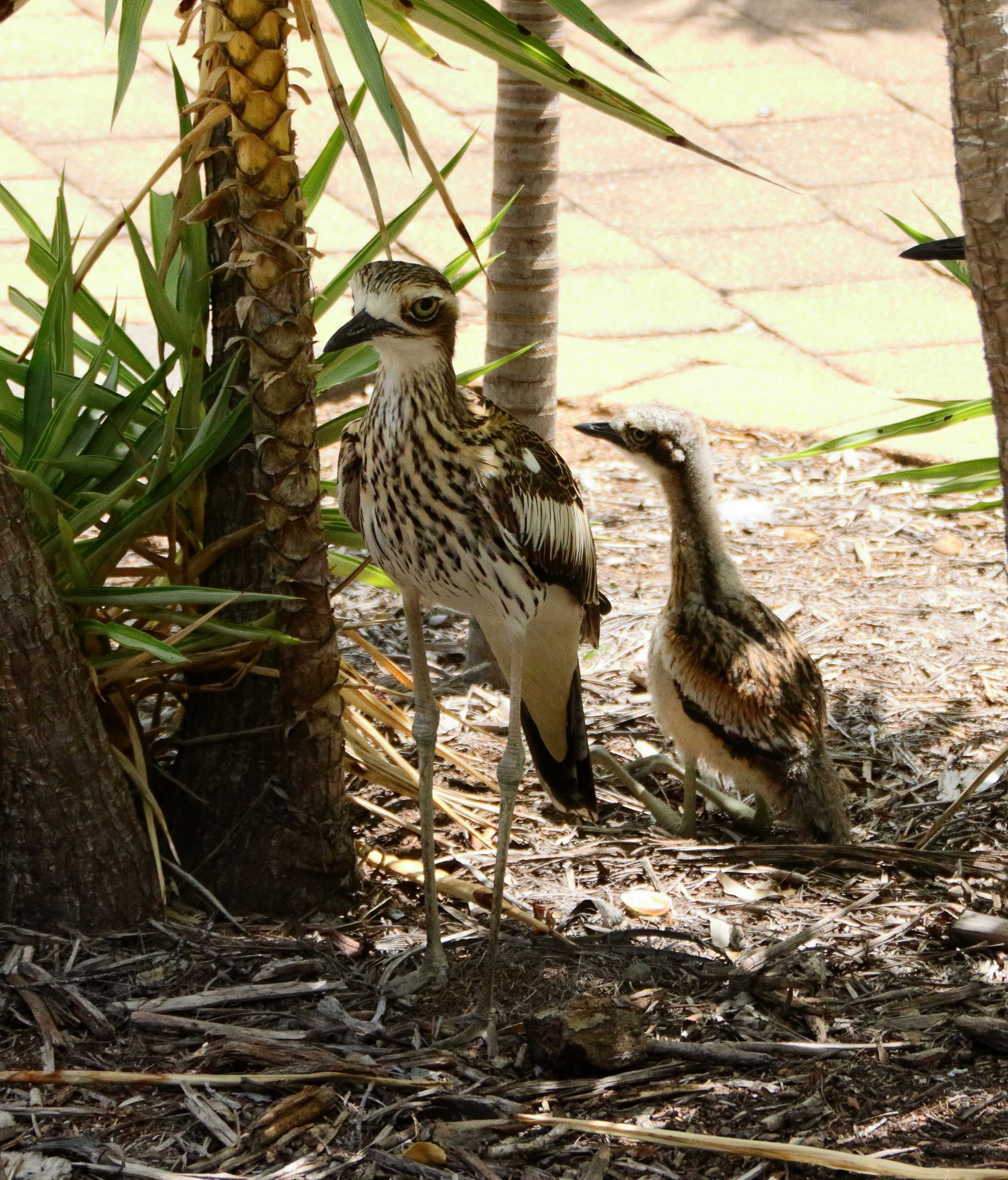
Bush Stone-Curlews, Parent and Fledgling.
Just before lunch our attention was drawn to a Bush Stone-curlew family, parents and one young bird, who were making themselves at home in a garden bed under an ornamental tree. As we were having lunch, we looked out the door and there they were, looking in at us. More photos and they finally moved on. They are apparently regulars.
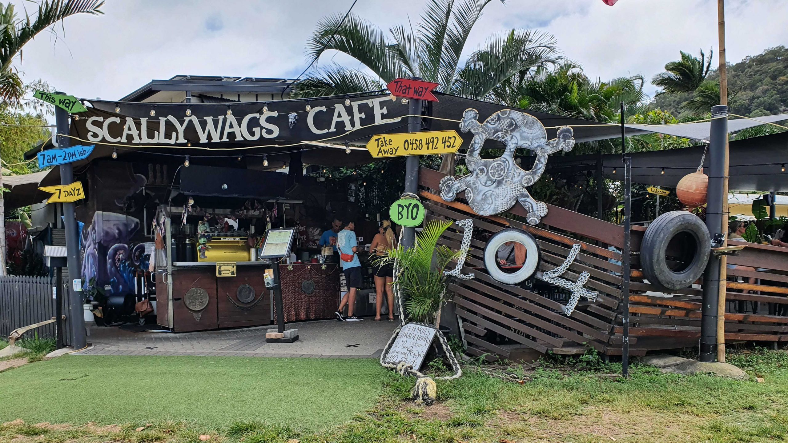
We were on the mid-day ferry back to Australia, so with check out at 10.00 am we had ample time for a leisurely brunch before we queued up to board the ferry. We stopped off at Scallywags Café, up the street a bit from our unit, for a very pleasant brunch. We even had some time left to read and watch the waters of Cleveland Bay, before boarding the ferry.
Note: A video link appears at the bottom of this blog post.
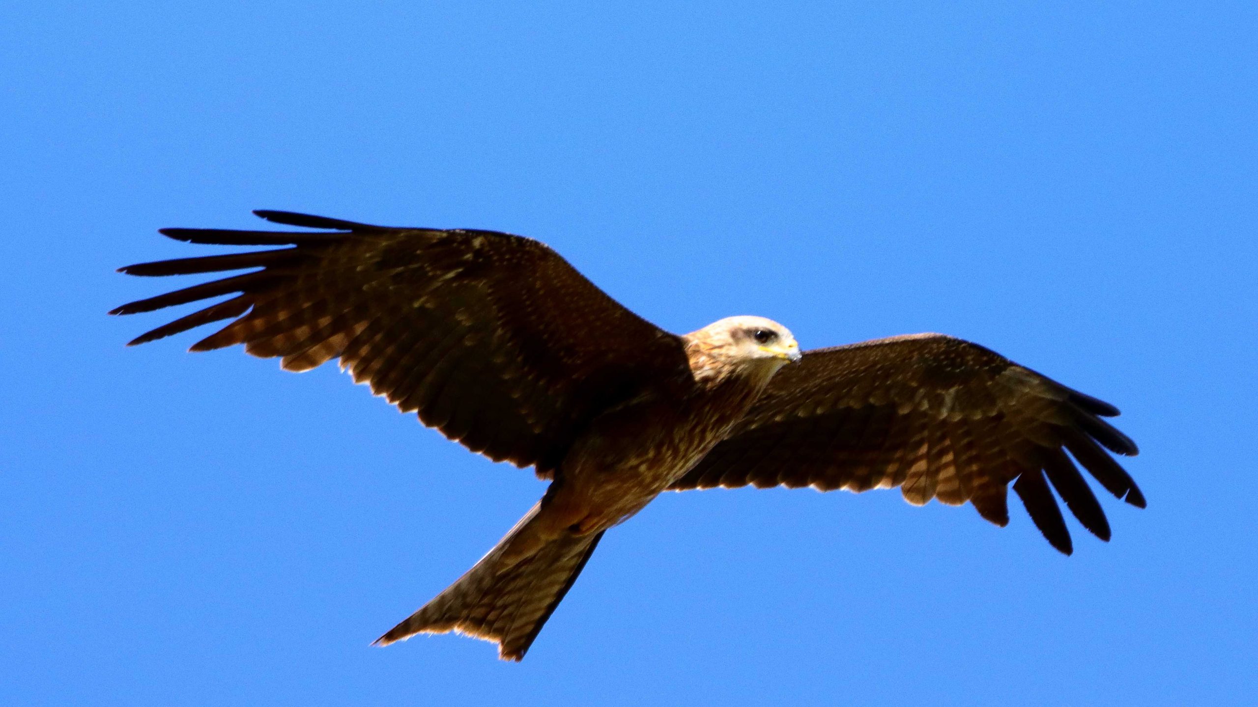
A gliding Black Kite.
All along the highway from about Blackall, roadkill was attended by birds that I thought were a type of Kite and black Crows. Once I got a photo, I was able to identify them as Black Kites. Their appearance and behaviour, such as their swooping flight and that they were in flocks. I posted about Plumed Whistling Ducks and Crested Pigeons in the previous post. So that’s it for Birds at Longreach.
We departed Longreach early to reach Winton in good time as we had a drive of about two and a half hours after Winton, to reach our overnight stop at Hughenden.
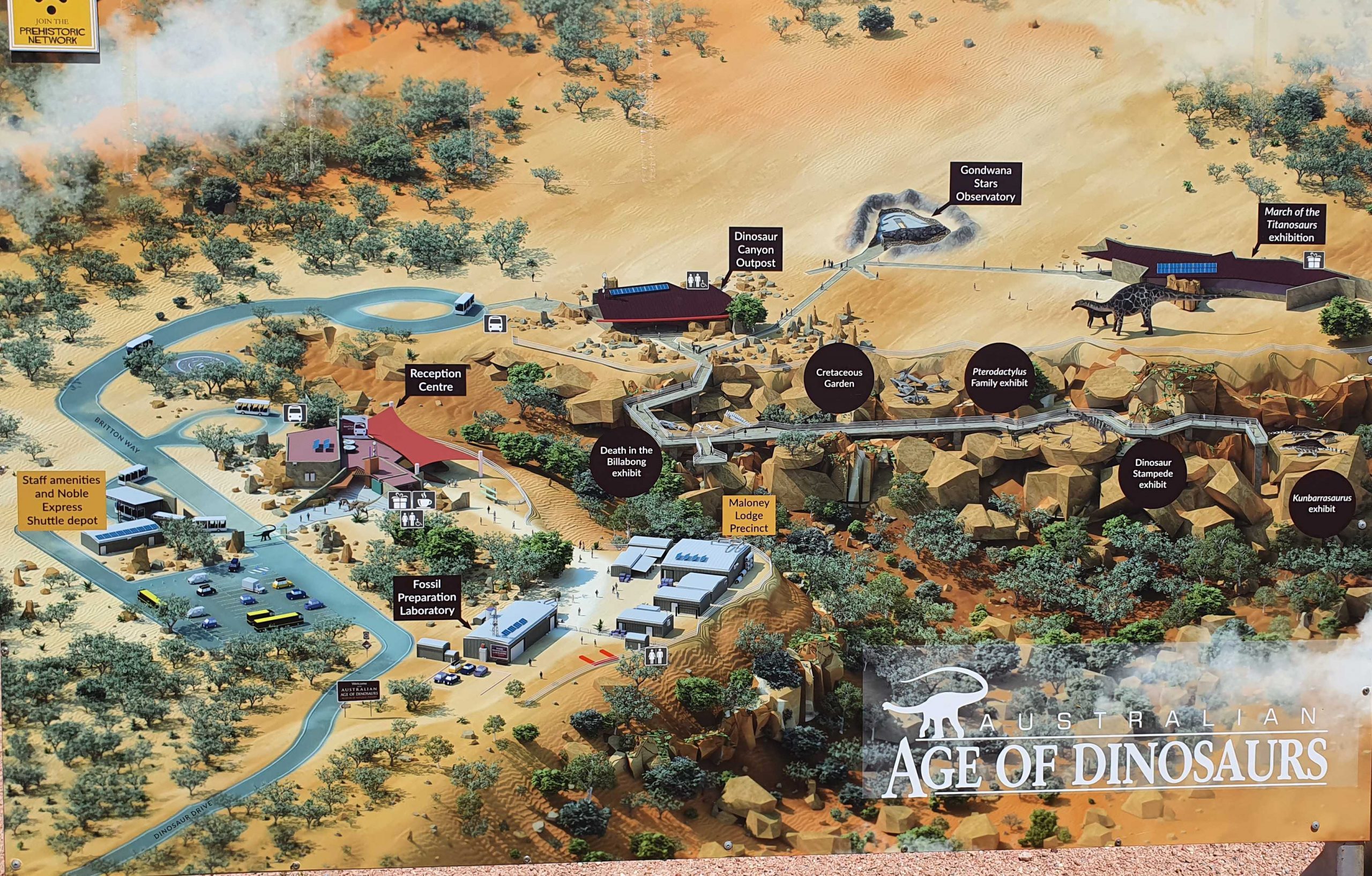
Australian Age of Dinosaurs layout. Entrance road is in the lower left hand corner.
The Dinosaur footprints, recovered from swamp country and reinstalled in a temperature controlled building for display and preservation.
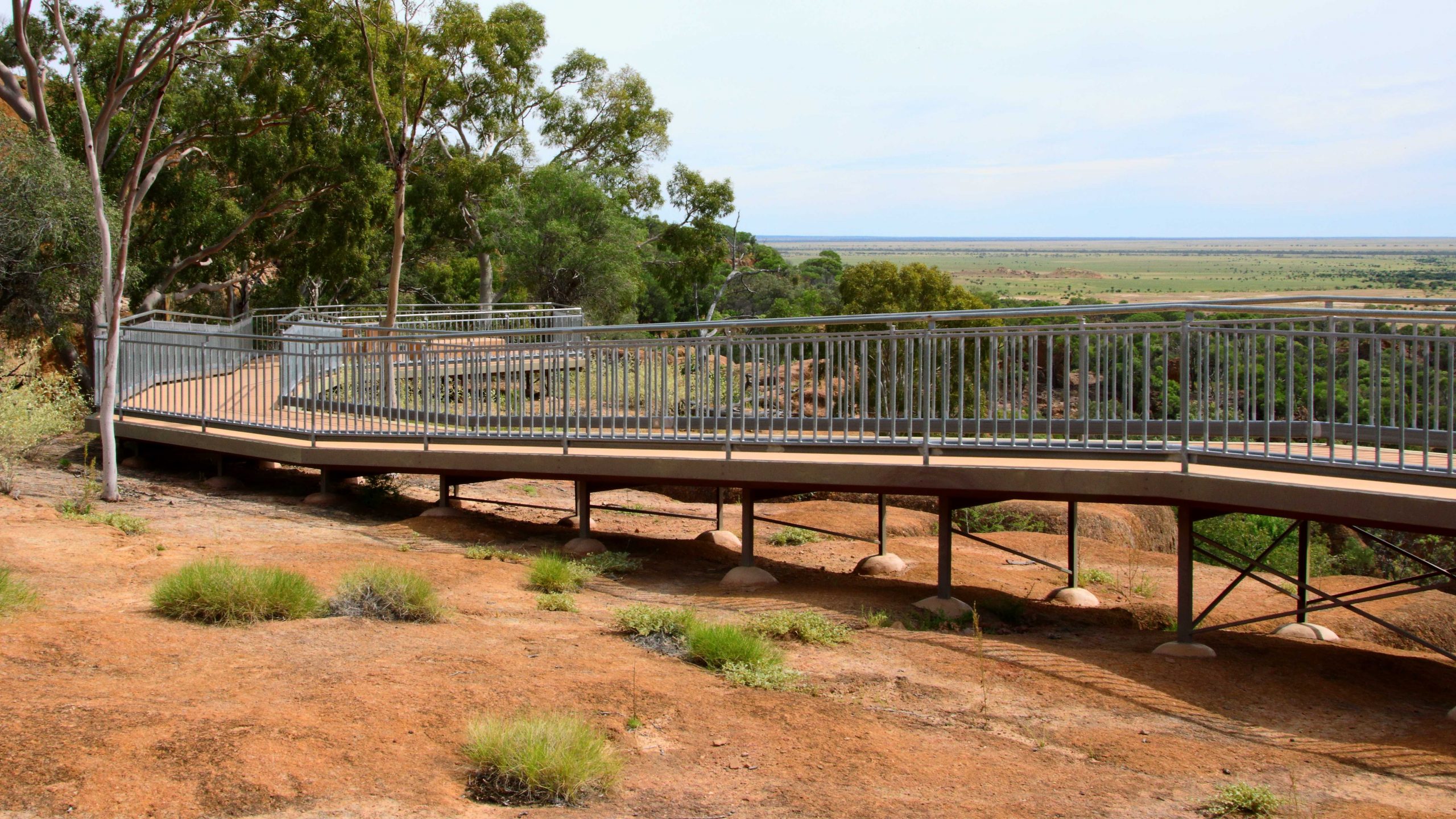
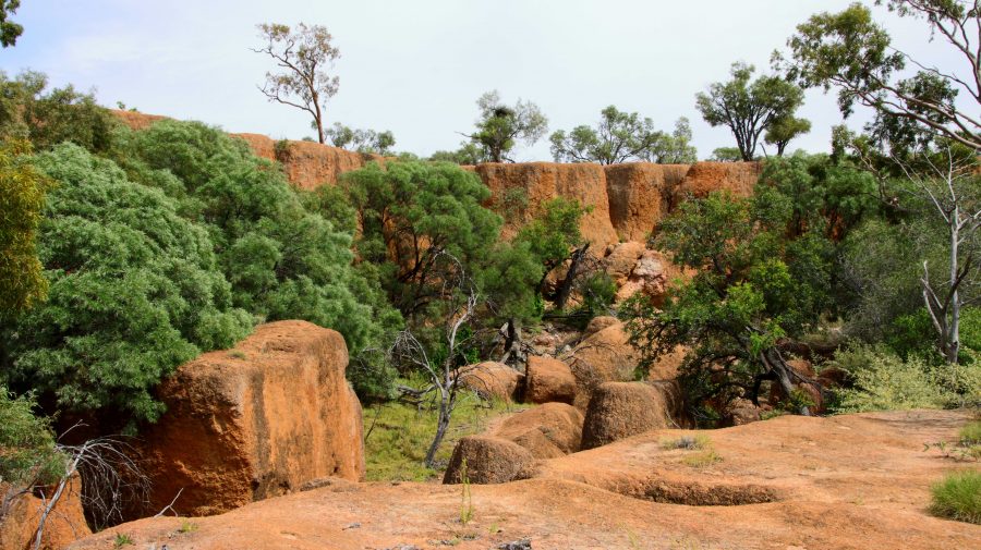
The location of The Australian Age of Dinosaurs is on the Longreach side of Winton, so that helped. Part of the success of this attraction is the brilliant sighting on top of a jump up. The top is quite flat, probably a couple of hundred metres above the grassy plains of the grazing area. Huge rocks have broken away around the edge and moved a short distance to where they have become stable. All of the buildings are on the plateau, but some displays have been built on and among those huge rocks around the plateau rim.
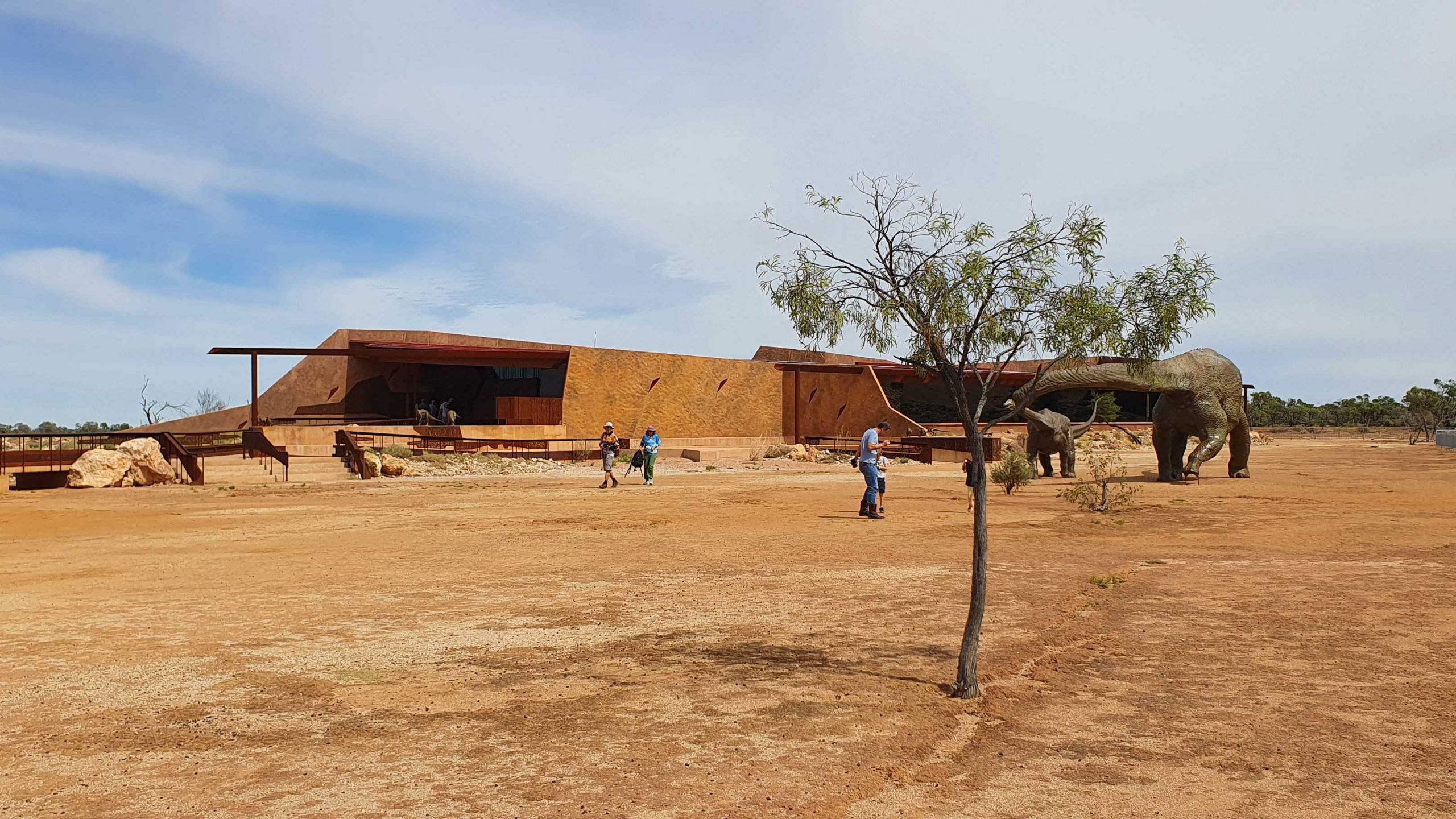
March of the Titanosaurs Building where the footprints are displayed.
We arrived about an hour ahead of our tour and presented ourselves at reception. We were given an earlier tour start. The session required a short trip on a shuttle to the Dinosaur Canyon Outpost. This part is relatively new. It is in a large fully enclosed building into which has been moved a large area of fossilised rock that was found in the lower country. It is part of an ancient swamp where Dinosaur footprints of various sizes have been frozen in time. The guide points out some differences between the footprints and what it is thought the creatures were doing at the time.
A board walk extends to the Dinosaur Canyon Walk.
A diorama of Dinosaurs in stampede mode.
Tumbled boulders at the edge of the Jump Up.
The displays that have been built among the rocks on the side of the jump up, are in this area.
About 50 km away on the Jundah Road south of Winton is the site of the dinosaur stampede. We saw it years ago and found it to be most interesting but inconvenient to get to, because of the condition of the road. So to have this display of similar footprints so easily accessible is a great convenience.
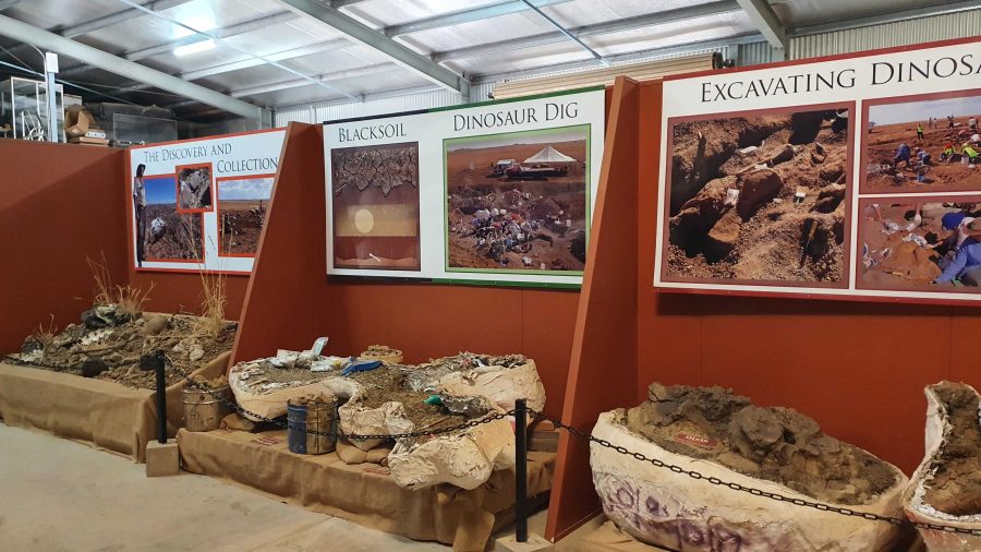
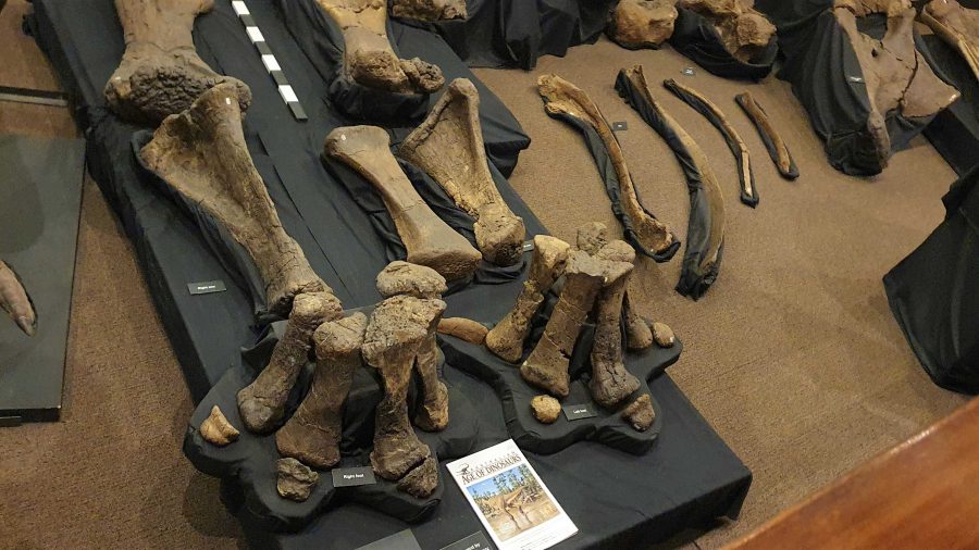
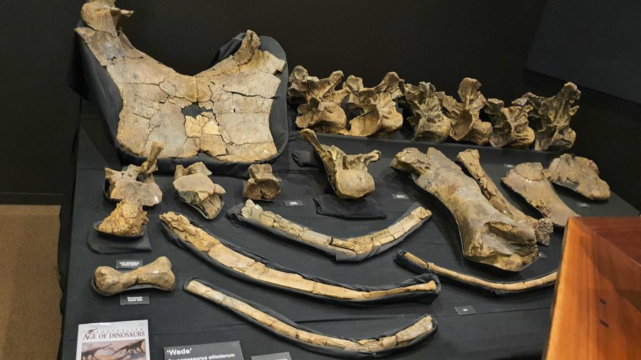
Digs, recovery of fossils and storage of fossils awaiting processing.
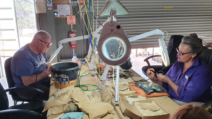
The next part of the tour required a drive or walk of about 500 metres to the laboratory, where the fossils are prepared for display or further research. We were taken through the detail if how digs for fossils are conducted and the fossils secured and brought back for further processing so that the item can be positively identified. Finally we watched as the workers used a variety of tools to remove foreign material without causing damage to the fossil.
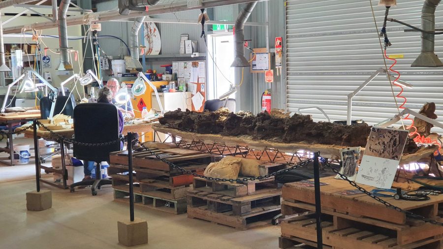
Work in progress
Two volunteers working to on fossils.
Recovered and restored fossils.
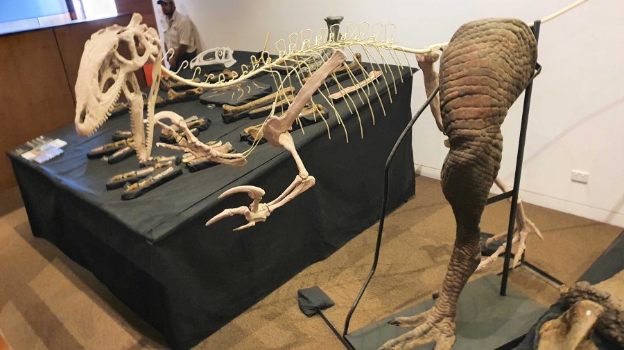
Finally, we returned to the museum at the main building for a presentation of how the finished fossils are used to recreate the original creature, or part of a creature, using genuine parts or parts fabricated to replace the missing bit. These are displayed as models, a leg for example, and in photographs or sketches. There is an interesting display of parts that don’t fit with anything else but are genuine.
More recovered and processed fossils.
An example of the use of fossilised parts to recreate a body part,
Since the café is in the same building as the museum, we had coffee and a sandwich and drove into Winton for a petrol refill at $2.02 per litre. But that now seems cheap compared to $2.15 that I saw on a pump at Redcliffe yesterday.
A view from the museum grounds of a distant jump up. Part of Winton about centre left, just below the skyline. The flat topped mountains are a feature of this part of Queensland.
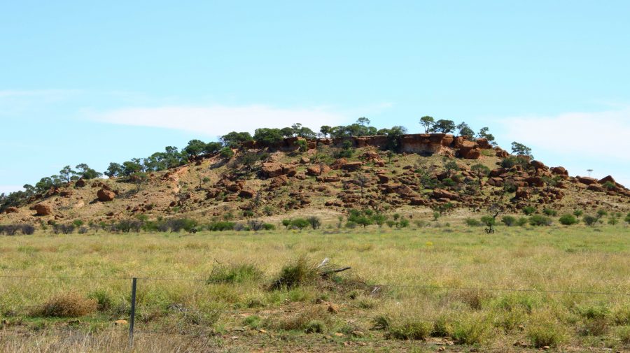
A typical small jump up or mesa in the area.
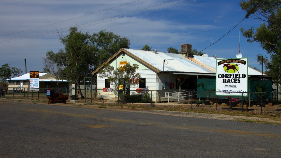
Corfield Hotel, currently closed.
The drive to Hughenden is on sealed road except for the first 15 km that is currently a dirt side track running parallel with an almost completed new road. We stopped at the tiny town of Corfield for a break. This “town” boasted a pub and racetrack. The pub is now permanently closed but I am not sure about the racetrack. They used to conduct a “Corfield Cup” but a lot of those country events were cancelled during the Covid epidemic and have not restarted.
There are no real towns along this road, just one other notable locality, Stamford that has a school.
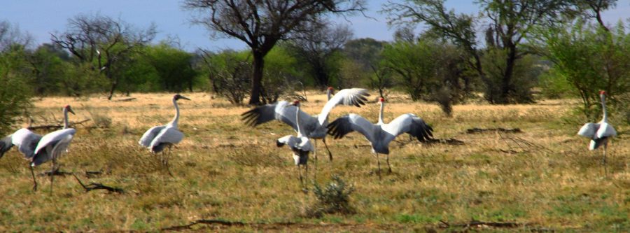
Brolga near Hughenden
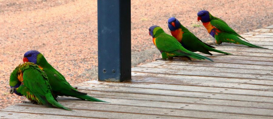
Rainbow Lorikeets on our door step at Hughenden.
About 30 km short of Hughenden, we came across a group of Brolga. The Brolga were in a paddock about 30 km south of our destination. I was separated from the Brolgas by a 4 strand well maintained barbed wire fence, when I took some photos. They kept moving away until I reached the fence. Then they turned around and looked at me. I wonder if they knew that I could not get through the fence.
On our arrival at the caravan park in Hughenden, our doorstep was taken up by Rainbow Lorikeets being fed by a resident. Most flew away but some stayed to see if there was more food on offer.
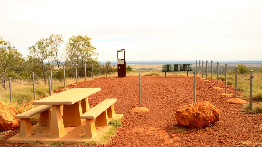
The area at the summit of Mt Walker. All lookouts are joined to the central area by gravel paths.
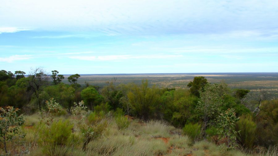
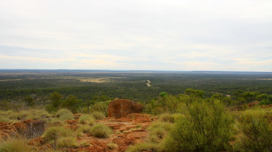
Lookout to the Southeast.
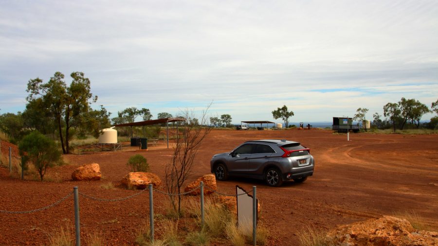
About 10 km south of Hughenden is Mount Walker, named in memory of the leader of an expedition to find Bourke & Wills. It is about 450 metres above sea level but stands well above the surrounding terrain. It is part of two adjoining stations, the owners of which combined with the local council to install a road and visitor facilities. There are about six lookouts that face in all directions, each one providing panoramic views. We made it our first call of the morning, before heading east.
View to the Northeast. The road to Hughenden can be seen below.
Tables and seats are scattered around the area.
White Mountain National Park near Torrens Creek
There are only small towns on this stretch of road, until we reached Charters Towers with its approximately 9,000 population. We did coffee at Torrens Creek and experienced the “excitement” of a 60-truck fertiliser train passing through.
Memorial to the Completion of the Sealing of the Hervey Range Road.
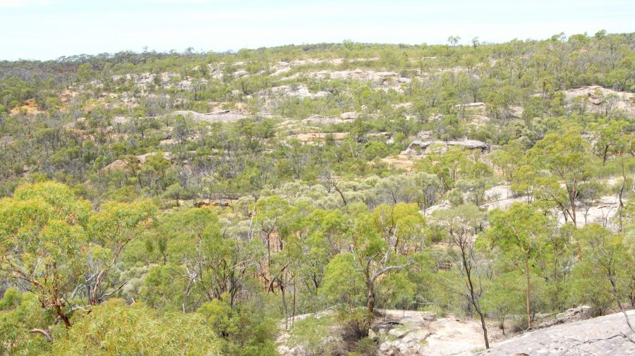
A geological feature of some note, the White Mountain National Park, is a further 30 km. You need a 4WD to get into the park but some of its signature white stone is visible from a rest stop by the highway.
We continued amid little traffic to Charters Towers, where we arrived at about 1 pm. It was pleasing to see petrol at around $1.70 per litre.
After a restful afternoon and evening, we left next morning for Townsville and the ferry terminal, but went the long way. We drove north-west on the Gregory Highway until we reached a place called Basalt, where we turned east into the Hervey Range Road. We stopped to see a memorial to the completion of sealing the road. Hervey Range Road is part of the network of “beef roads” that criss-cross Northwest Queensland. This one takes beef to the processing works at Townsville.
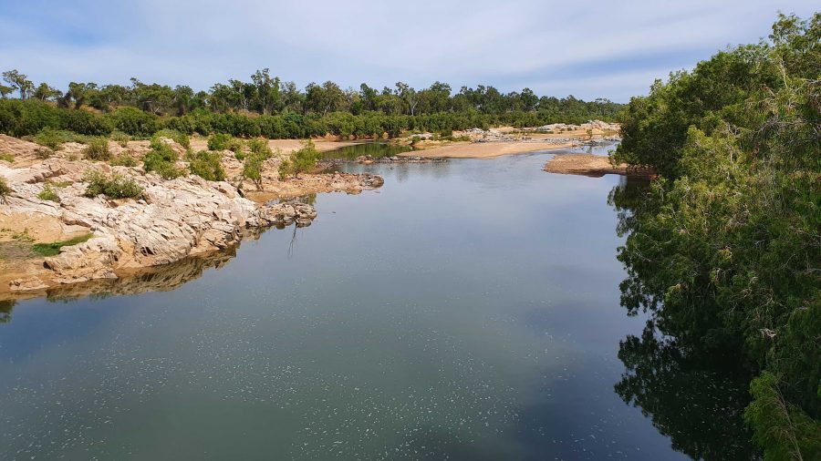
The Burdekin River upstream of the Hervey Range Road Crossing.
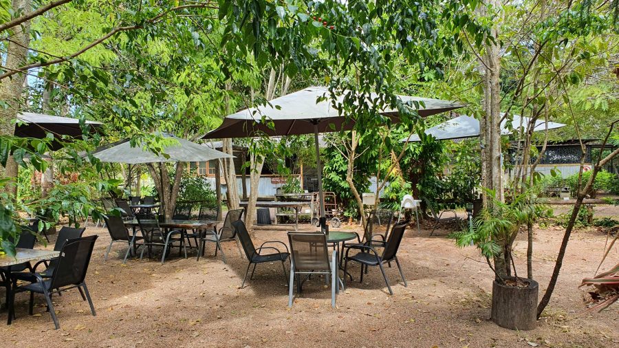
The Hervey Range Tea House without customers. A very present place to stop for a break, Wednesday to Sunday.
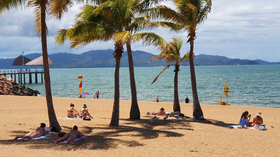
Ah! The Tropics! Beach goers relaxing on Townsville Beach.
We then crossed the Burdekin River and stopped at the Hervey Range Tea House. The day was Monday, and this is a weekend drive location for Townsville residents. The tea house is closed on Mondays and Tuesdays, but we knew that. There were no coffee stops available until we reached the suburbs of Townsville. Topped up with coffee and with some time to fil in before the departure of the ferry, we found a parking space in The Esplanade where we were able to see Magnetic Island and enjoy the beach, fresh air and sunshine. We caught our ferry with time to spare,