Interrupted Journey – North Queensland 2022 – Part 5

Dinosaurs and Brolga

Note: A video link appears at the bottom of this blog post.

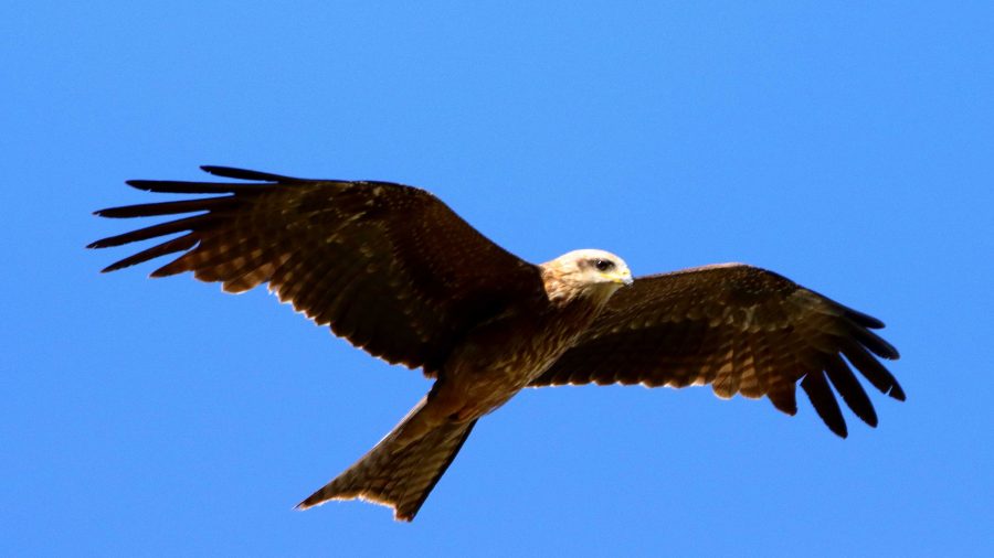
A gliding Black Kite.

All along the highway from about Blackall, roadkill was attended by birds that I thought were a type of Kite and black Crows. Once I got a photo, I was able to identify them as Black Kites. Their appearance and behaviour, such as their swooping flight and that they were in flocks. I posted about Plumed Whistling Ducks and Crested Pigeons in the previous post. So that’s it for Birds at Longreach.

We departed Longreach early to reach Winton in good time as we had a drive of about two and a half hours after Winton, to reach our overnight stop at Hughenden.
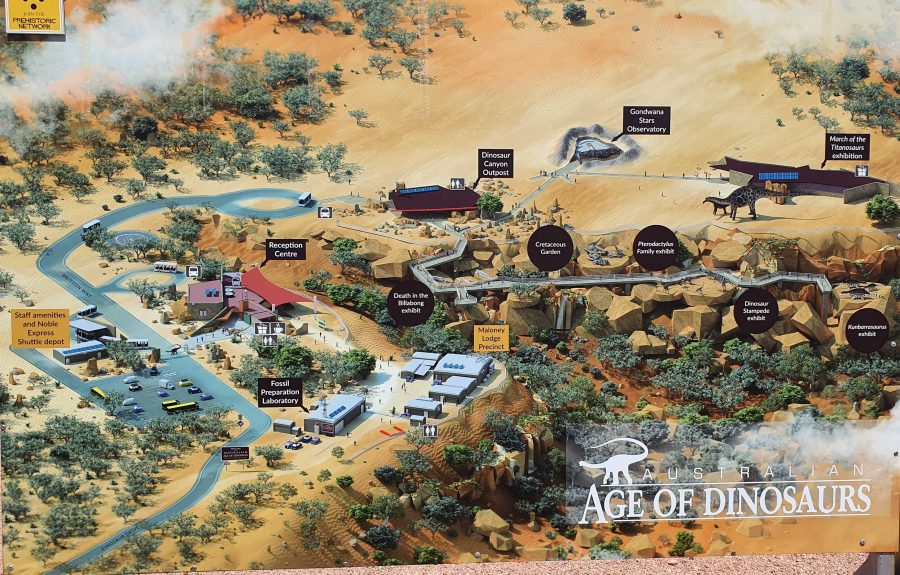
Australian Age of Dinosaurs layout. Entrance road is in the lower left hand corner.
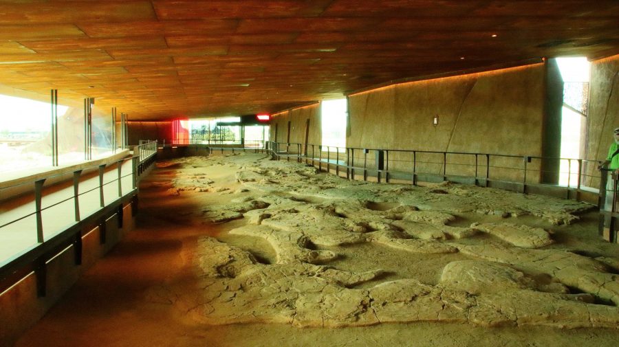
The Dinosaur footprints, recovered from swamp country and reinstalled in a temperature controlled building for display and preservation.

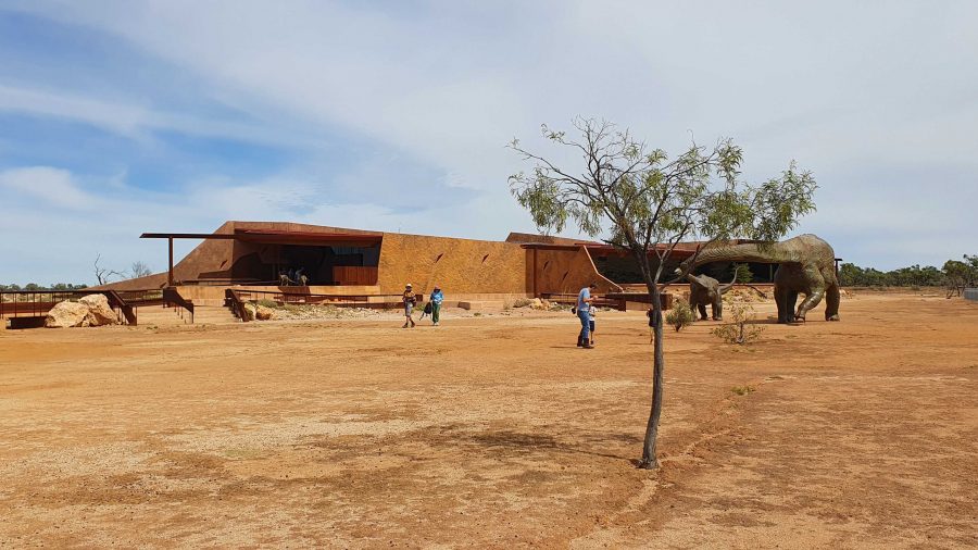
The location of The Australian Age of Dinosaurs is on the Longreach side of Winton, so that helped. Part of the success of this attraction is the brilliant sighting on top of a jump up. The top is quite flat, probably a couple of hundred metres above the grassy plains of the grazing area. Huge rocks have broken away around the edge and moved a short distance to where they have become stable. All of the buildings are on the plateau, but some displays have been built on and among those huge rocks around the plateau rim.

March of the Titanosaurs Building where the footprints are displayed.

We arrived about an hour ahead of our tour and presented ourselves at reception. We were given an earlier tour start. The session required a short trip on a shuttle to the Dinosaur Canyon Outpost. This part is relatively new. It is in a large fully enclosed building into which has been moved a large area of fossilised rock that was found in the lower country. It is part of an ancient swamp where Dinosaur footprints of various sizes have been frozen in time. The guide points out some differences between the footprints and what it is thought the creatures were doing at the time.
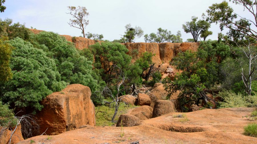
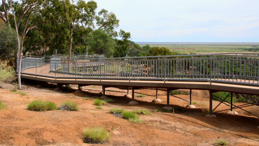
A board walk extends to the Dinosaur Canyon Walk.
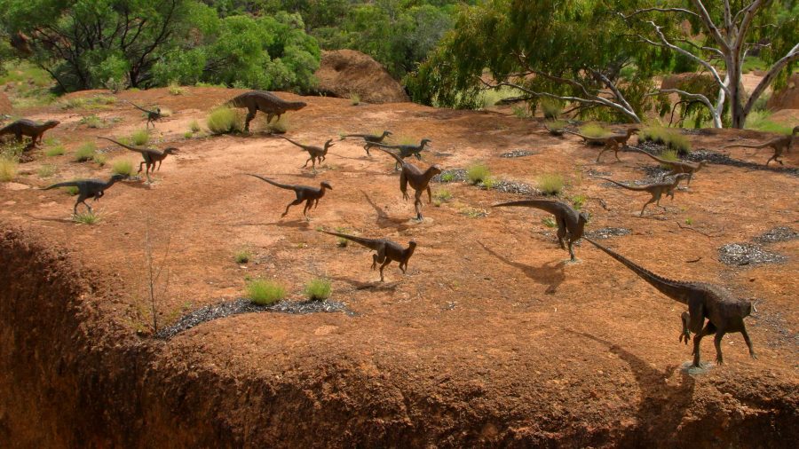
A diorama of Dinosaurs in stampede mode.
Tumbled boulders at the edge of the Jump Up.

The displays that have been built among the rocks on the side of the jump up, are in this area.

About 50 km away on the Jundah Road south of Winton is the site of the dinosaur stampede. We saw it years ago and found it to be most interesting but inconvenient to get to, because of the condition of the road. So to have this display of similar footprints so easily accessible is a great convenience.
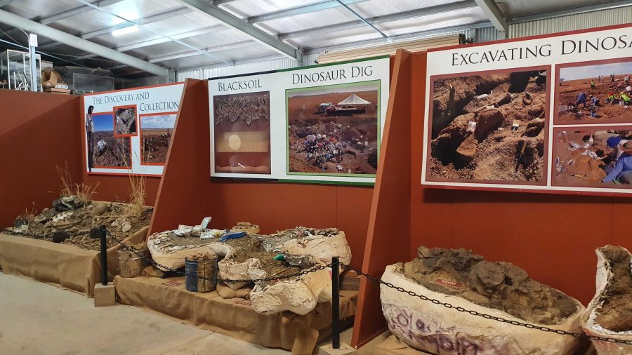
Digs, recovery of fossils and storage of fossils awaiting processing.

The next part of the tour required a drive or walk of about 500 metres to the laboratory, where the fossils are prepared for display or further research. We were taken through the detail if how digs for fossils are conducted and the fossils secured and brought back for further processing so that the item can be positively identified. Finally we watched as the workers used a variety of tools to remove foreign material without causing damage to the fossil.
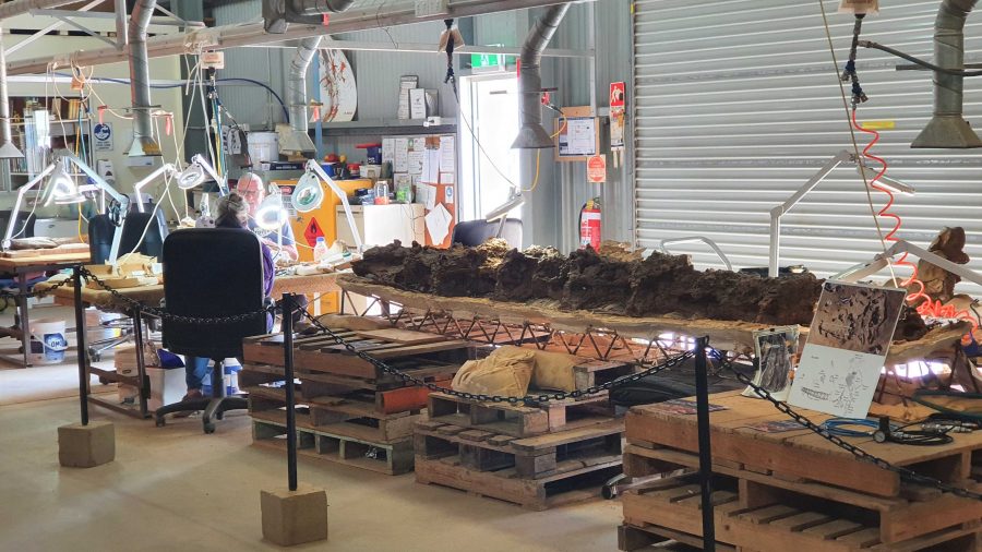
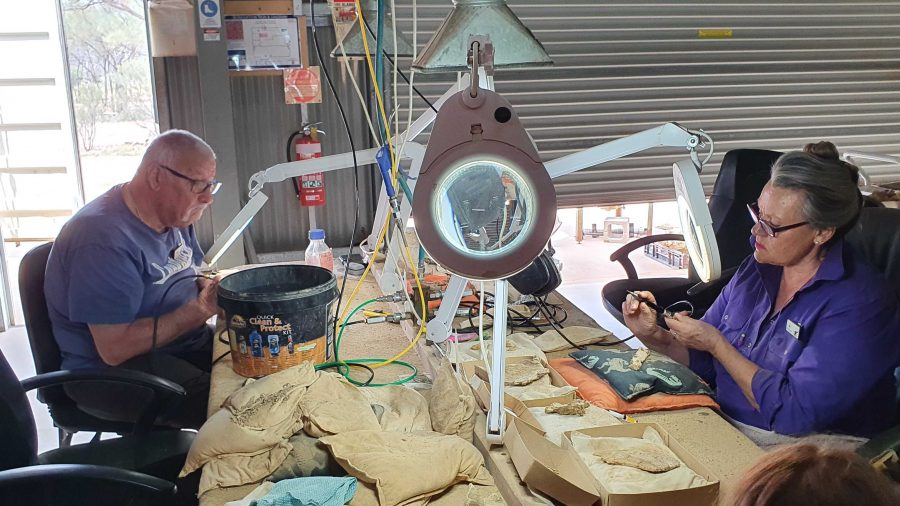
Work in progress
Two volunteers working to on fossils.
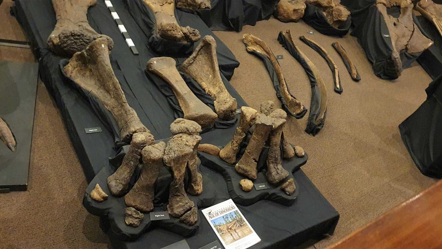
Recovered and restored fossils.

Finally, we returned to the museum at the main building for a presentation of how the finished fossils are used to recreate the original creature, or part of a creature, using genuine parts or parts fabricated to replace the missing bit. These are displayed as models, a leg for example, and in photographs or sketches. There is an interesting display of parts that don’t fit with anything else but are genuine.
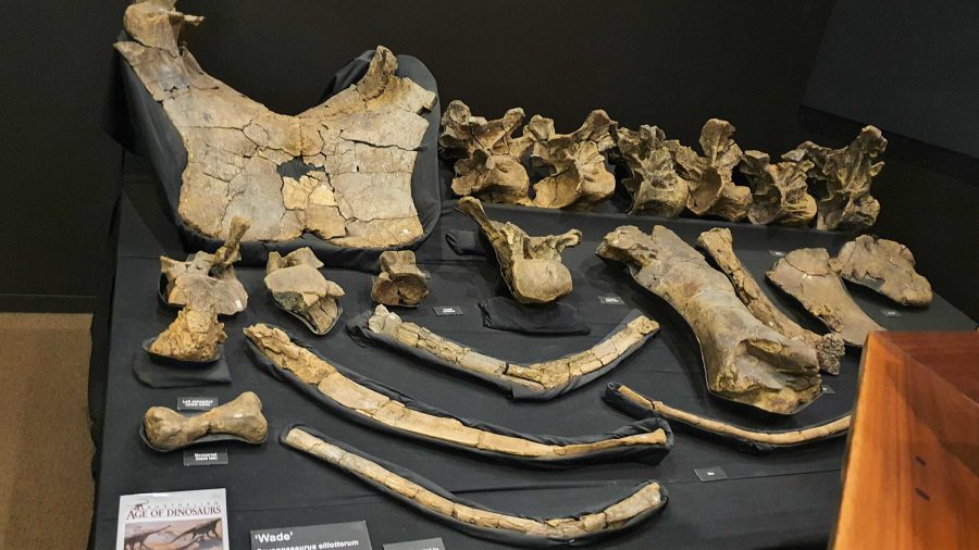
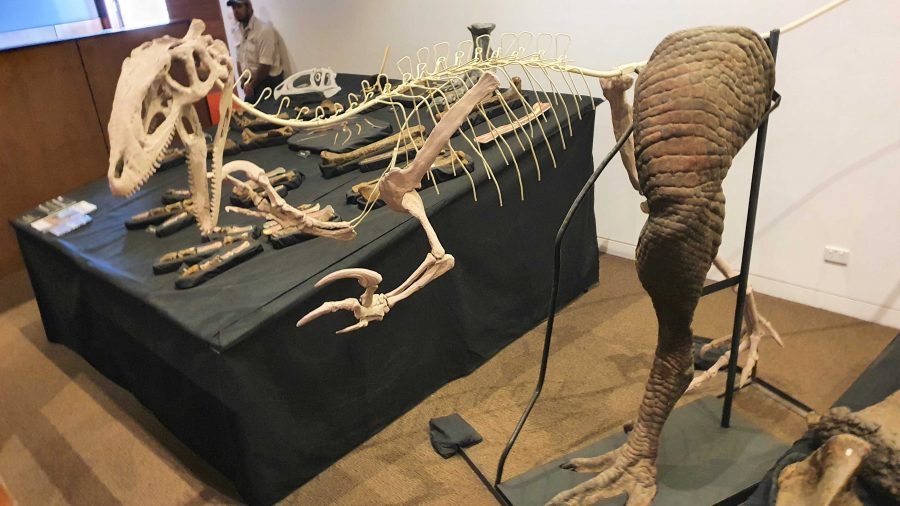
More recovered and processed fossils.
An example of the use of fossilised parts to recreate a body part,

Since the café is in the same building as the museum, we had coffee and a sandwich and drove into Winton for a petrol refill at $2.02 per litre. But that now seems cheap compared to $2.15 that I saw on a pump at Redcliffe yesterday.
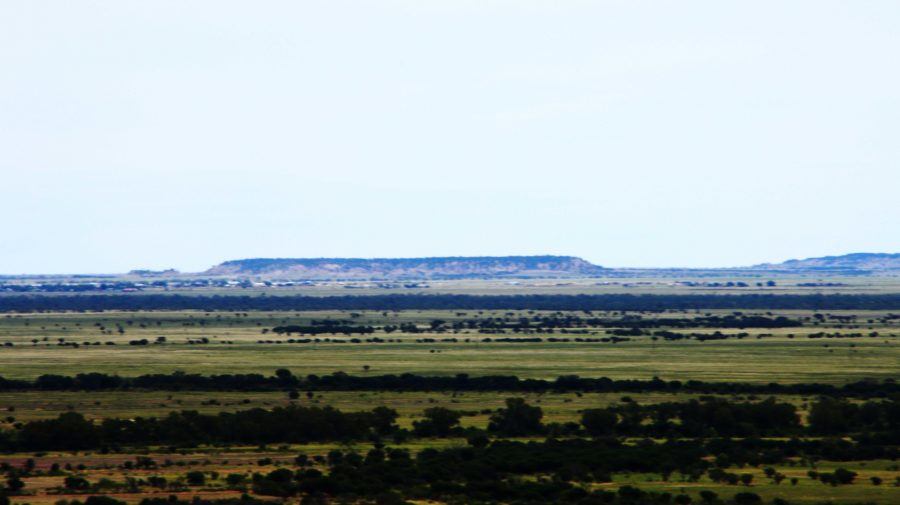
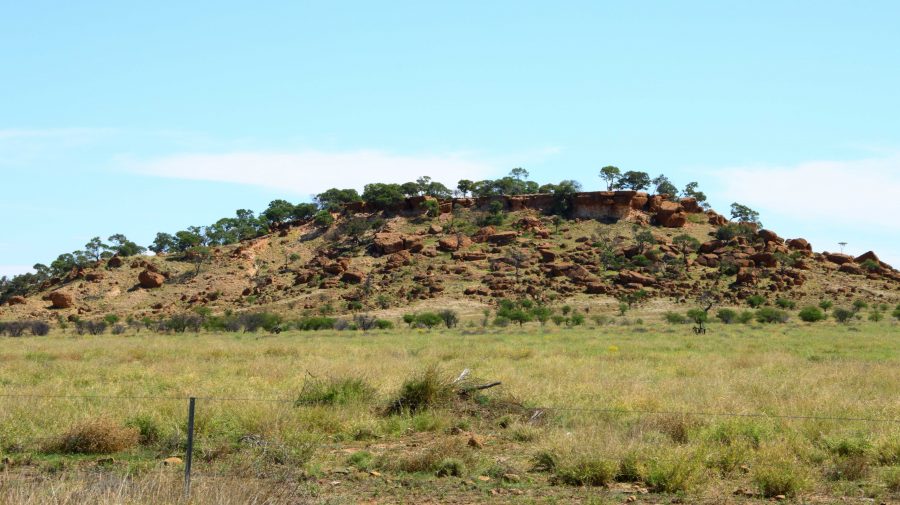
A view from the museum grounds of a distant jump up. Part of Winton about centre left, just below the skyline. The flat topped mountains are a feature of this part of Queensland.
A typical small jump up or mesa in the area.
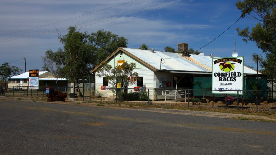
Corfield Hotel, currently closed.

The drive to Hughenden is on sealed road except for the first 15 km that is currently a dirt side track running parallel with an almost completed new road. We stopped at the tiny town of Corfield for a break. This “town” boasted a pub and racetrack. The pub is now permanently closed but I am not sure about the racetrack. They used to conduct a “Corfield Cup” but a lot of those country events were cancelled during the Covid epidemic and have not restarted.

 There are no real towns along this road, just one other notable locality, Stamford that has a school.
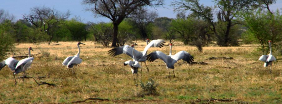
Brolga near Hughenden
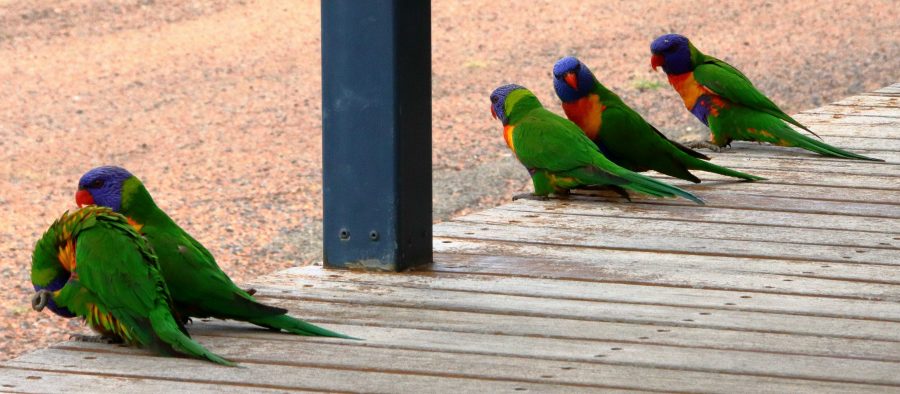
Rainbow Lorikeets on our door step at Hughenden.

About 30 km short of Hughenden, we came across a group of Brolga. The Brolga were in a paddock about 30 km south of our destination. I was separated from the Brolgas by a 4 strand well maintained barbed wire fence, when I took some photos. They kept moving away until I reached the fence. Then they turned around and looked at me. I wonder if they knew that I could not get through the fence.

On our arrival at the caravan park in Hughenden, our doorstep was taken up by Rainbow Lorikeets being fed by a resident. Most flew away but some stayed to see if there was more food on offer.
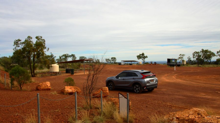
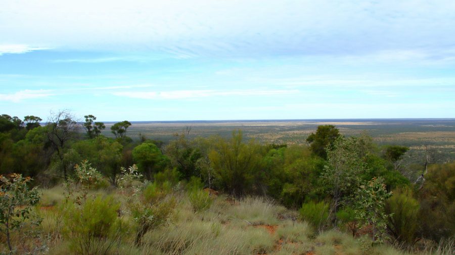
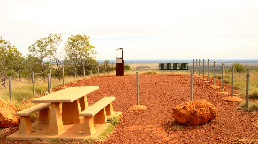
The area at the summit of Mt Walker. All lookouts are joined to the central area by gravel paths.
Lookout to the Southeast.

About 10 km south of Hughenden is Mount Walker, named in memory of the leader of an expedition to find Bourke & Wills. It is about 450 metres above sea level but stands well above the surrounding terrain. It is part of two adjoining stations, the owners of which combined with the local council to install a road and visitor facilities. There are about six lookouts that face in all directions, each one providing panoramic views. We made it our first call of the morning, before heading east.
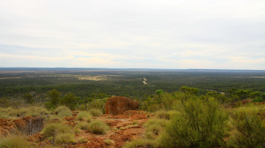
View to the Northeast. The road to Hughenden can be seen below.
Tables and seats are scattered around the area.
White Mountain National Park near Torrens Creek

There are only small towns on this stretch of road, until we reached Charters Towers with its approximately 9,000 population. We did coffee at Torrens Creek and experienced the “excitement” of a 60-truck fertiliser train passing through.
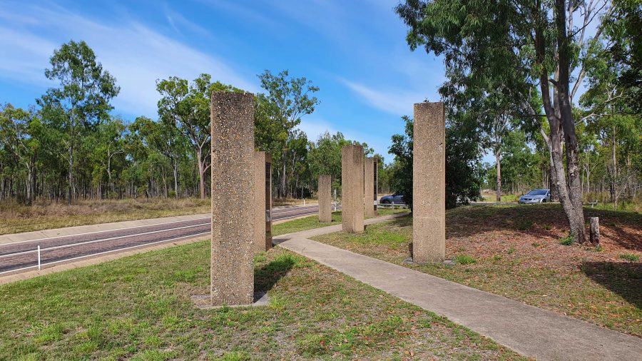
Memorial to the Completion of the Sealing of the Hervey Range Road.

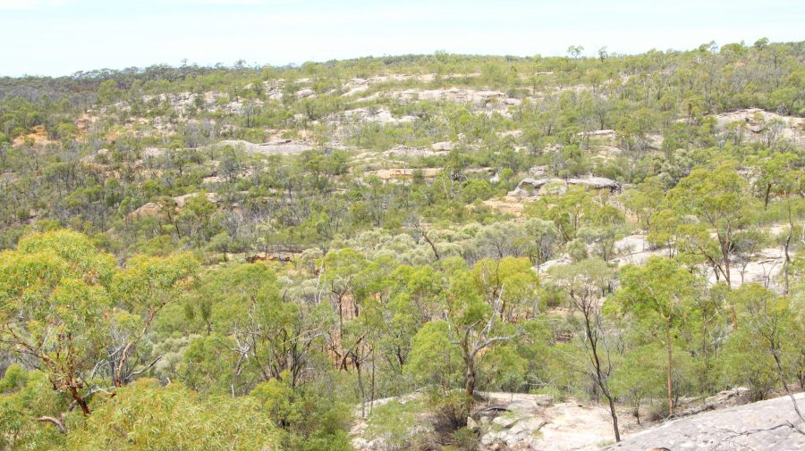
A geological feature of some note, the White Mountain National Park, is a further 30 km. You need a 4WD to get into the park but some of its signature white stone is visible from a rest stop by the highway.

We continued amid little traffic to Charters Towers, where we arrived at about 1 pm. It was pleasing to see petrol at around $1.70 per litre.

After a restful afternoon and evening, we left next morning for Townsville and the ferry terminal, but went the long way. We drove north-west on the Gregory Highway until we reached a place called Basalt, where we turned east into the Hervey Range Road. We stopped to see a memorial to the completion of sealing the road. Hervey Range Road is part of the network of “beef roads” that criss-cross Northwest Queensland. This one takes beef to the processing works at Townsville.
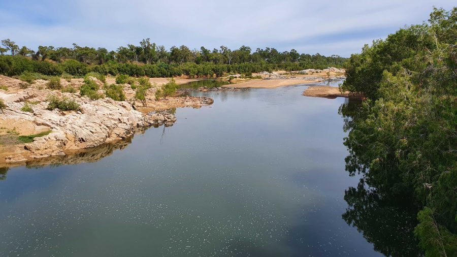
The Burdekin River upstream of the Hervey Range Road Crossing.
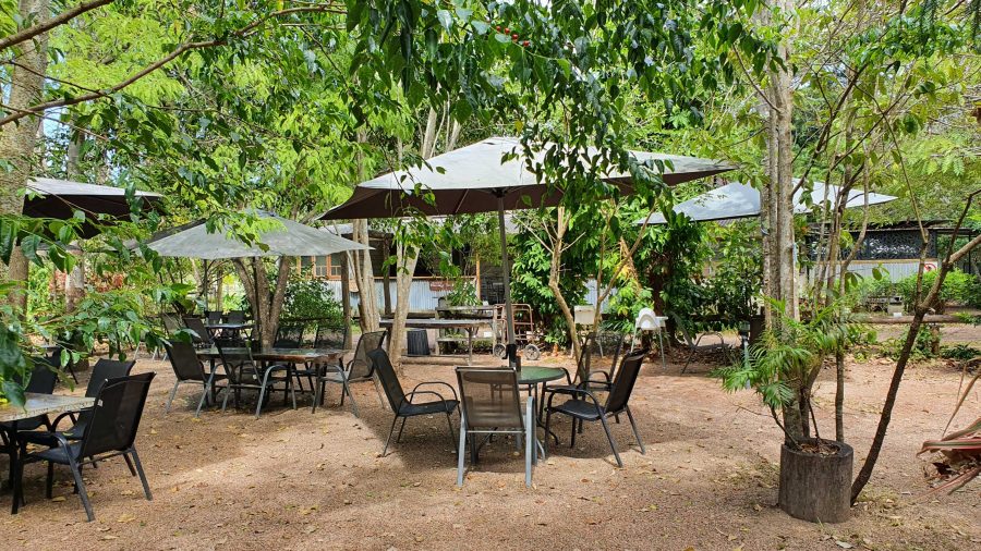
The Hervey Range Tea House without customers. A very present place to stop for a break, Wednesday to Sunday.
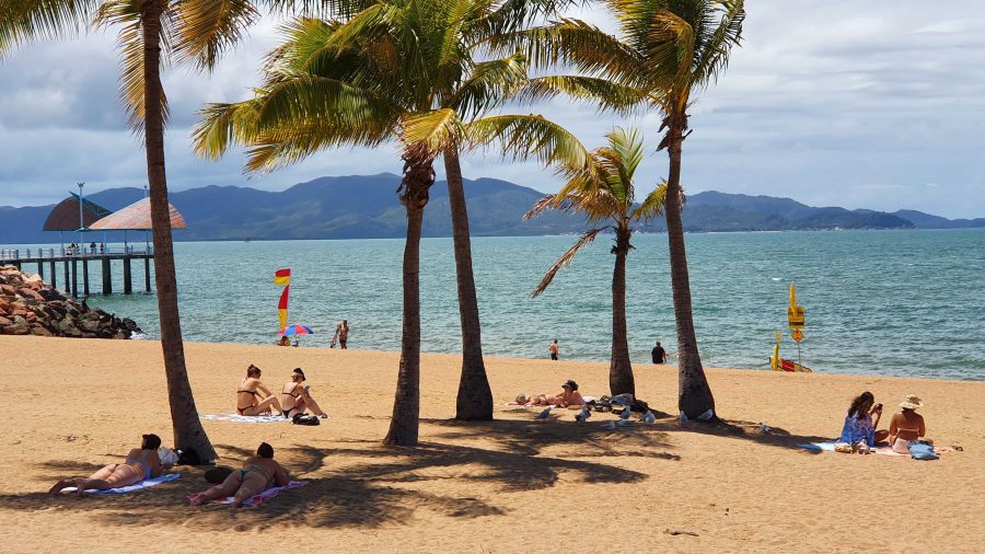
Ah! The Tropics! Beach goers relaxing on Townsville Beach.

We then crossed the Burdekin River and stopped at the Hervey Range Tea House. The day was Monday, and this is a weekend drive location for Townsville residents. The tea house is closed on Mondays and Tuesdays, but we knew that. There were no coffee stops available until we reached the suburbs of Townsville. Topped up with coffee and with some time to fil in before the departure of the ferry, we found a parking space in The Esplanade where we were able to see Magnetic Island and enjoy the beach, fresh air and sunshine. We caught our ferry with time to spare,
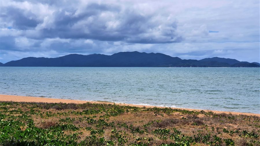
Magnetic Island from Townsville beach.

Interrupted Journey – North Queensland 2022 – Part 3

Heading for Dinosaur Country

Note: Two video links appears at the bottom of this blog post.

Please note the video link at the foot of this post to the Carnival of Flowers.

We set off on the morning of Monday 26th September to complete our Covid interrupted tour. Instead of going back to Townsville to start where we left off, we travelled inland via Toowoomba and took the opportunity to visit the Carnival of Flowers as we passed through, spending our first night at Chinchilla.

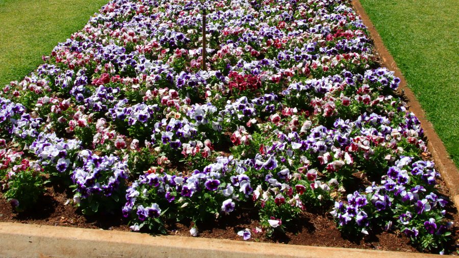
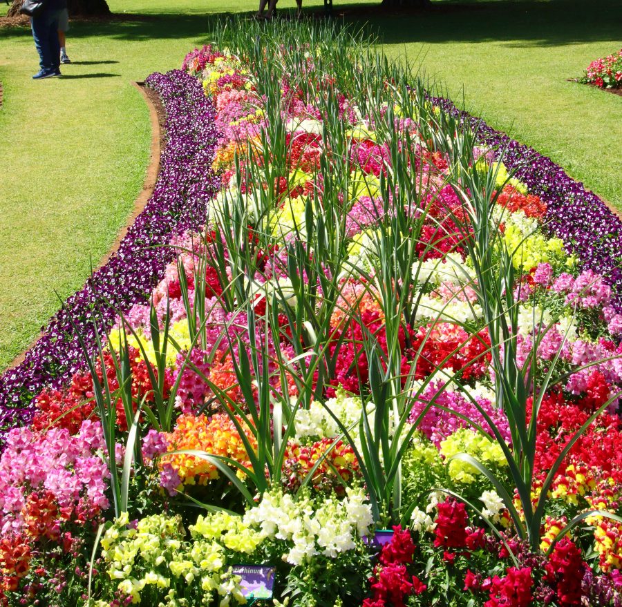
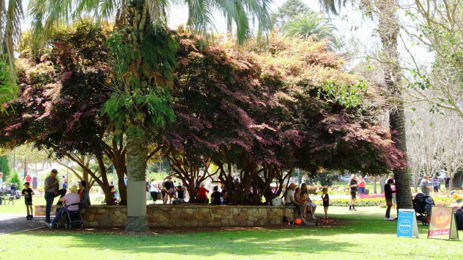
The flowers at Toowoomba were up to the normal high standard. As our visit was late in the carnival, most of the additional activities had finished. The flowers and a few food vans parked down the back was all that remained of the festive area. But we were there to see the flowers and were well satisfied with the offerings on display. The greatest challenge was to take a photo of a flower bed without an Asian tourist in the foreground having their photo taken.

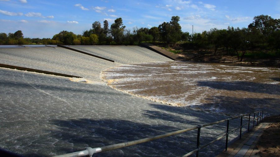
A thin sheet of water over the face of Chinchilla Weir as the water flows towards the Murray River.

We drove on to Dalby for lunch having skipped morning coffee. In planning I had identified some likely bird locations to try before reaching our overnight stop at Chinchilla. I had no luck until Chinchilla Weir where we found greatly improved camping conditions from those we remembered from our previous visit. And we found a flock of Apostle Birds. I believe these birds are so named because of their practice of flocking in groups of about a dozen. Water was cascading over the weir.

A thin sheet of water over the face of Chinchilla Weir as the water flows towards the Murray River.
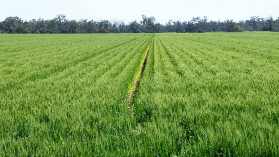
Recently germinated crops line the roadside in this part of the Darling Downs.
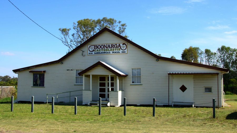
Boonagara, reached just before Chinchilla, built a public hall to commemorate success in using a grub to defeat cactus infestation.
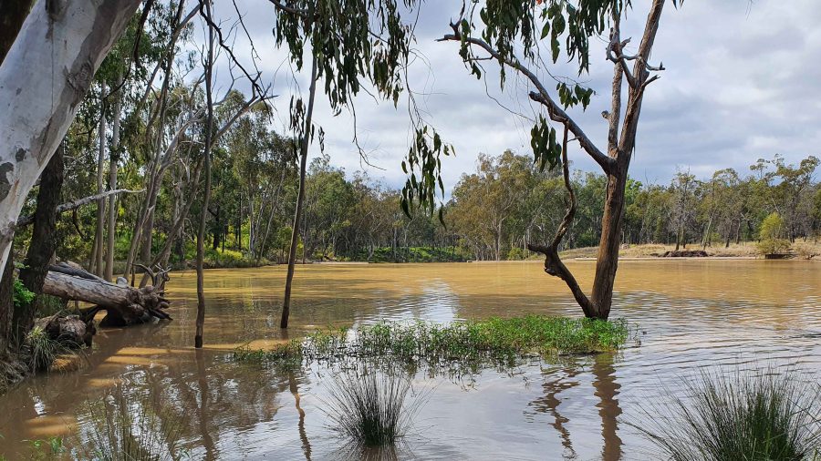
Gil Weir is located just west of the Leichardt Highway, south of Miles

Friday saw us headed for Morven, a very small town where the Landsborough Highway branches from the Warrego Highway. It leads to Longreach as the major town in that direction. This piece of road is also known as the Matilda Way, but that is more for promotional purposes that accurate geography.

We checked for birds at Gill Weir, south of Miles and Judd’s Lagoon, south of the highway, closer to Roma. All that we found in both places was overflowing weirs and long term bush campers, most of which were in their highly equipped caravans. Rising water levels inundate water bird feeding grounds and I imagine, causes the birds paddle harder to stay in the same place. The birds are not silly. Thy go somewhere else.

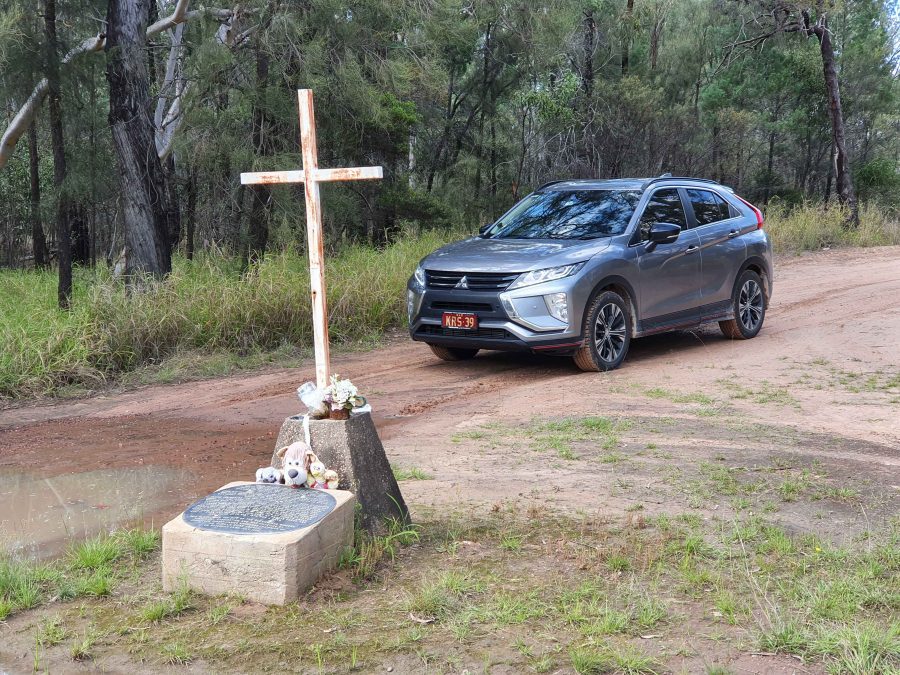
Memorial to fettlers wives near Dulacca
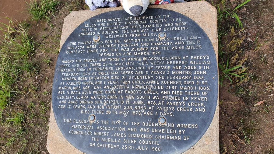
The informative plaque that is part of the memorial.

Roadside, just before Dulacca out towards Roma, we came upon a memorial to the railway fettlers and the women who supported them while building the western railway line from Miles to Dulacca in 1978-79. In those days families had to travel with their breadwinners if they wanted to see them. No FIFO in those days.

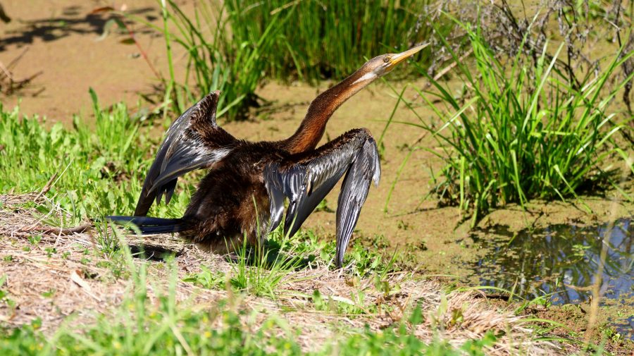
Australian Darter, drying off following a fishing session.

After morning coffee at Roma’s Big Rig, we had a look at Roma Bush Gardens, located just off the highway past the town centre. Walking around the lake was restricted by flooding but I did see some Mallards and an Australian Darter, drying its wings in the morning sunshine after fishing excursion.

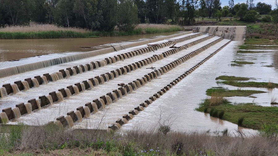
Neil Turner Weir on the Maranoa River at Mitchell was overflowing. We have not seen this in several visits.

We took our lunch break at Neil Turner Weir, a water storage on the Maranoa River near Mitchell. Mitchell is probably best known for its therapeutic artesian spars. We have used the camping area at the weir on several occasions but had not seen the dam overflowing before. It reminded us that so much of our travel through Australia’s outback occurred during the drought years.

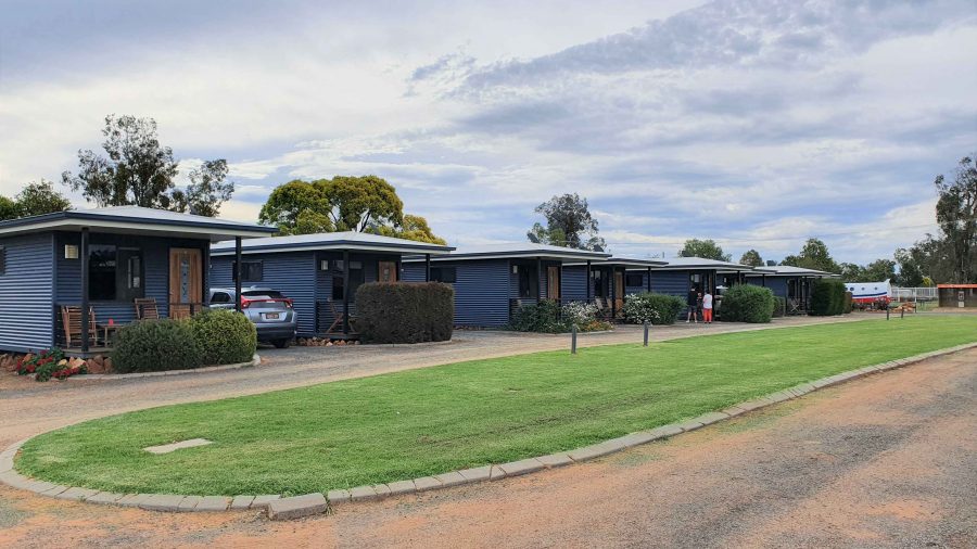
The Pick-a-Box Motel at Morven
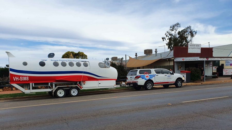
A Royal Flying Doctor Promotional Van Parked Outside The Motel.

The Pick-a-Box Motel was our resting place for the night. The motel is a small group of newish iron-clad cabins near to and managed by the Morven Hotel, recently rebuilt following a fire. The only excitement in town was a Royal Flying Doctor Service caravan in the shape of an aircraft fuselage, parked in the street outside.

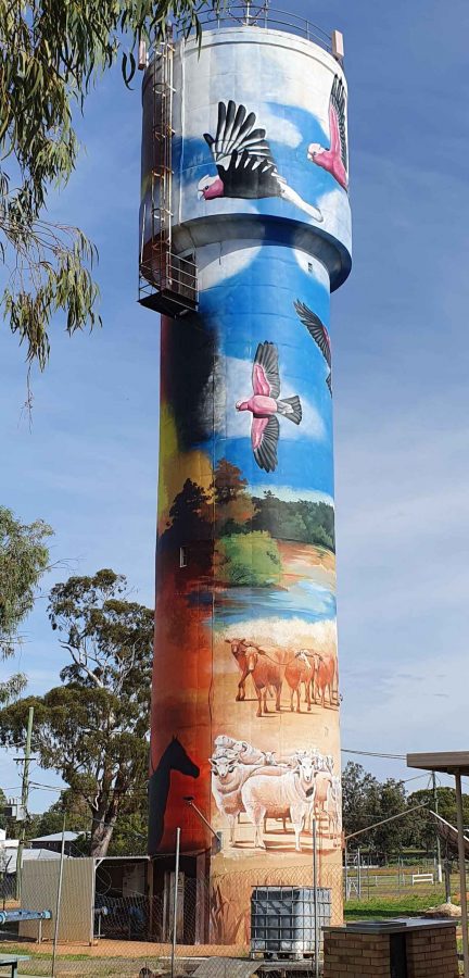
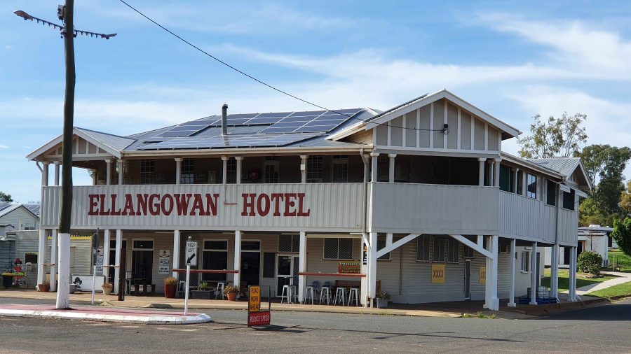
So, from Morven on Wednesday morning, we turned north-west on the Landsborough Highway. First stop was a call at the first town, Augathella, a distance of about 90 km. The town is quite old and has been supporting the local agricultural community since its founding in 1883. Like many outback towns, it has upgraded its visitor facilities for grey nomads. Artists have painted pictures on its water tower, art silo fashion.

The Ellangawan Hotel bears Augathella’s original name.
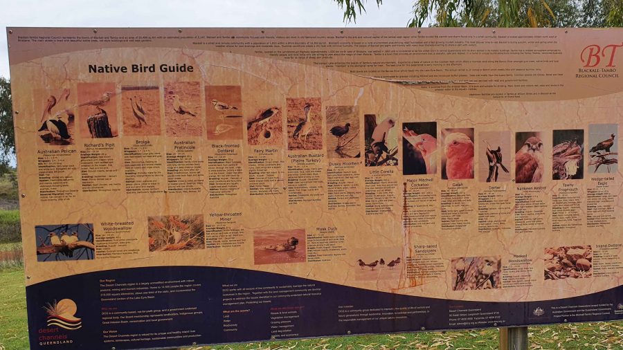
The list of local water birds at Tambo. Most on the list were conspicuous by their absence.

Next, about the same distance further north-west, we arrived at Tambo, another pioneering town (1868) with good visitor facilities. We paused for morning coffee beside the small dam at the entrance of the tow. By the lake there is an information sign providing details of the many water birds to be found in the area. There were very few on display for us, although small birds such as Noisy Miners were busy in the tree.

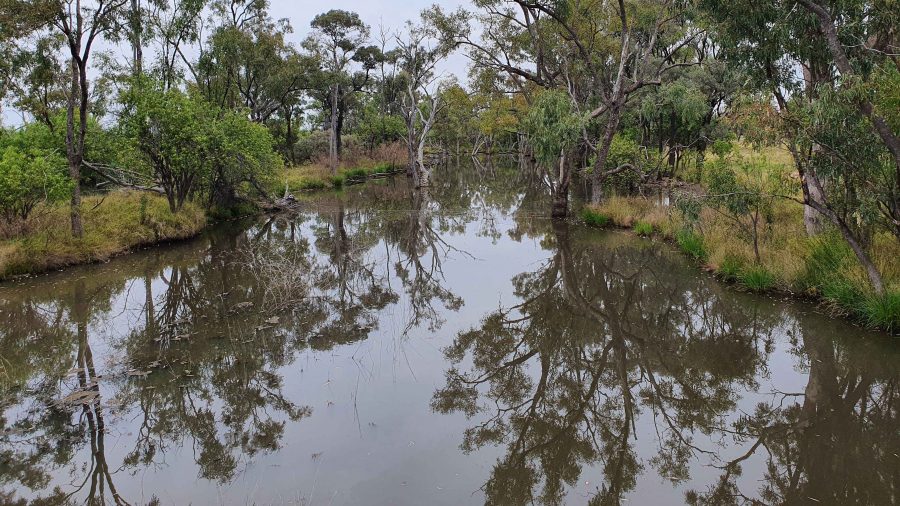
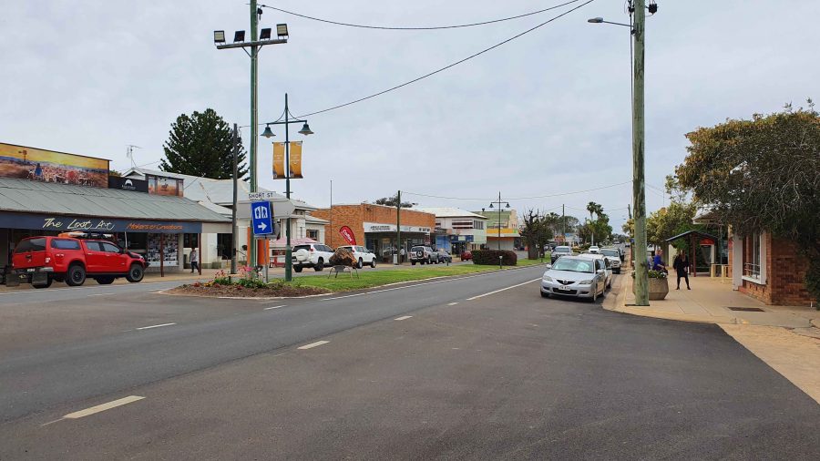
Continuing, we crossed the Barcoo River and arrived at Blackall, which was built on the banks of that stream. Major Thomas Mitchell explored this part of Australia in 1846. The town developed in the 1860s as an agricultural service centre. Again, it has good tourist facilities. It is surrounded by vast expanses of open naturally grassed pasture, as is much of this area. We had been driving through it all morning.

The Barcoo River at the Landsborough Highway crossing.
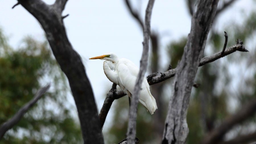
An Eastern Great Egret perched in a tree over the Barcoo River.
Blackall main street is the highway.
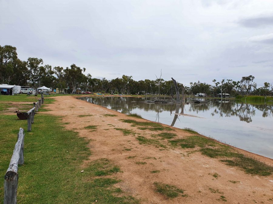
Part of the billabong and camping area at Lara Wetlands

The next town along this highway is Barcaldine, but about 45 km before that we turned off to the left and drove the 16 km of dirt station road to look at Lara Wetlands. This is a camping area that almost surrounds a large waterhole filled with dead trees, so is probably the result of a dam. Lara Station is an operating cattle station. They run the camping ground in conjunction with the station. There are reported to be 164 species of birds identified in the area. But there is no power and only one cabin. Interesting spot, all the same.

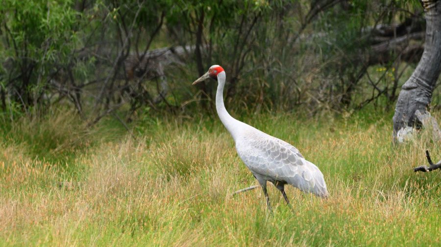
A Brolga by the road as we drove into Lara Wetlands.

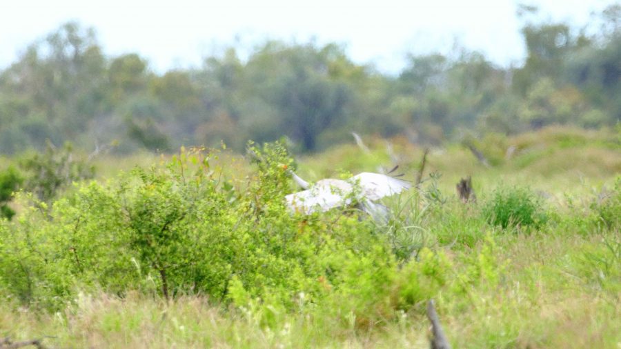
As we drove into the Lara Station, Ruth saw a large grey bird at the edge of the trees. I stopped and got some good photos of a Brolga. It was wandering up and down and seemed quite settled but as I turned back to the car, I heard the whoomp whoomp whoomp of large wings as the Brolga took to flight. I turned just in time to snap it disappearing behind some brush. Not a very good photo, sadly.

The Brolga landing in the brush by the roadside.

We refuelled at Barcaldine, paying for the first time just over $2 per litre for unleaded petrol. At Barcaldine the highway turns left and west through Ilfracombe to Longreach. Scattered cloud meant that the western sun was not too much of a problem. We had travelled quite a distance in pursuit of the setting sun since leaving Brisbane, so the days were ending quite a bit later.

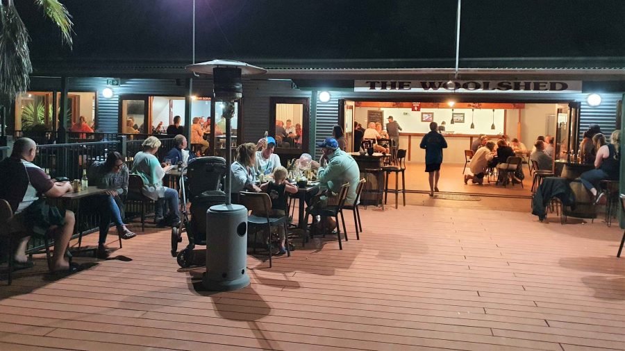
The deck at the Woolshed Restaurant at Longreach.

We were able to get a booking at the Woolshed Restaurant at Longreach Tourist Park, where we had a cabin. Last time we were here they were booked out. They were again but we had booked in time. An excellent meal even if the entertainment was a bit loud.

While at Longreach we returned to Ilfracombe and also drove south to Isisford. That drive is covered in the next blog post.