Interrupted Journey – North Queensland 2022 – Part 3

Heading for Dinosaur Country

Note: Two video links appears at the bottom of this blog post.

Please note the video link at the foot of this post to the Carnival of Flowers.

We set off on the morning of Monday 26th September to complete our Covid interrupted tour. Instead of going back to Townsville to start where we left off, we travelled inland via Toowoomba and took the opportunity to visit the Carnival of Flowers as we passed through, spending our first night at Chinchilla.

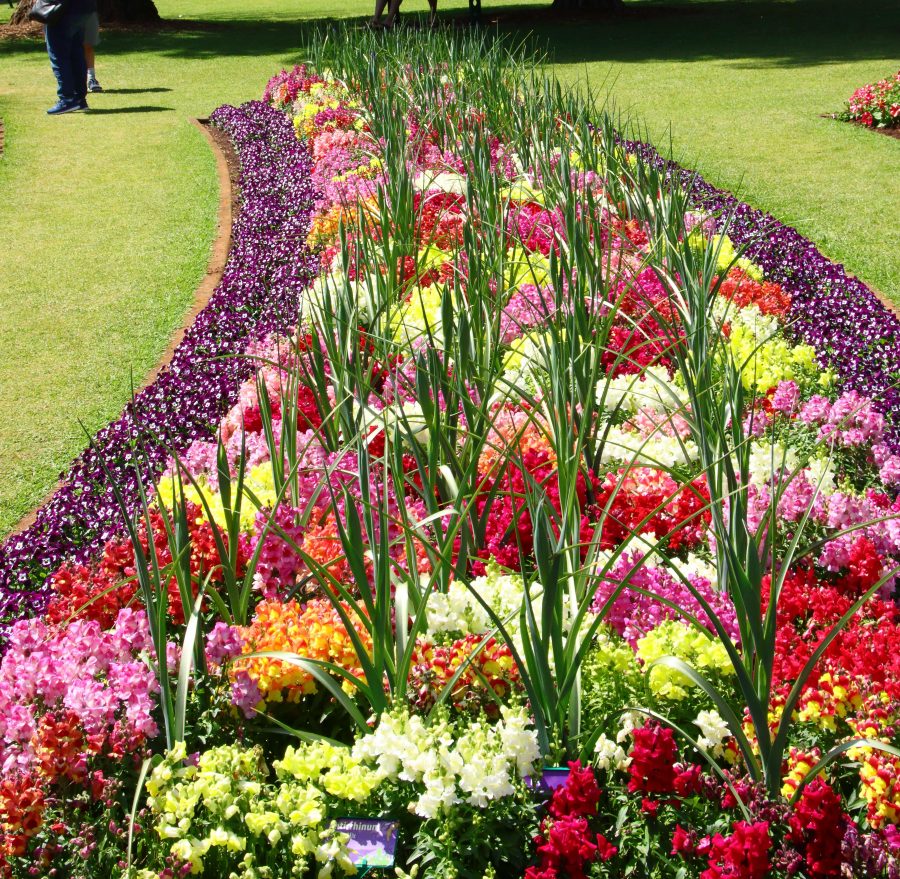
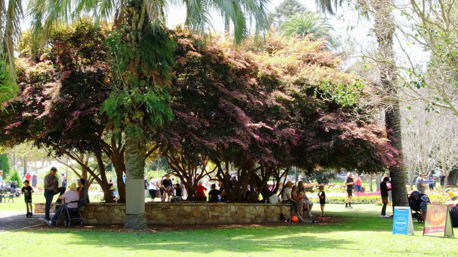
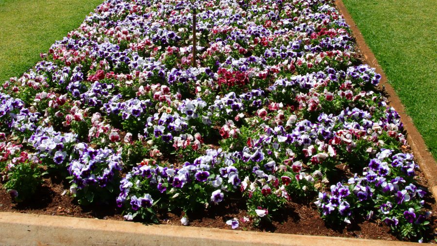
The flowers at Toowoomba were up to the normal high standard. As our visit was late in the carnival, most of the additional activities had finished. The flowers and a few food vans parked down the back was all that remained of the festive area. But we were there to see the flowers and were well satisfied with the offerings on display. The greatest challenge was to take a photo of a flower bed without an Asian tourist in the foreground having their photo taken.

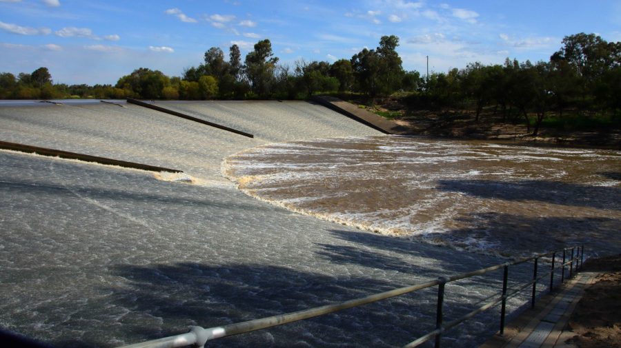
A thin sheet of water over the face of Chinchilla Weir as the water flows towards the Murray River.

We drove on to Dalby for lunch having skipped morning coffee. In planning I had identified some likely bird locations to try before reaching our overnight stop at Chinchilla. I had no luck until Chinchilla Weir where we found greatly improved camping conditions from those we remembered from our previous visit. And we found a flock of Apostle Birds. I believe these birds are so named because of their practice of flocking in groups of about a dozen. Water was cascading over the weir.

A thin sheet of water over the face of Chinchilla Weir as the water flows towards the Murray River.
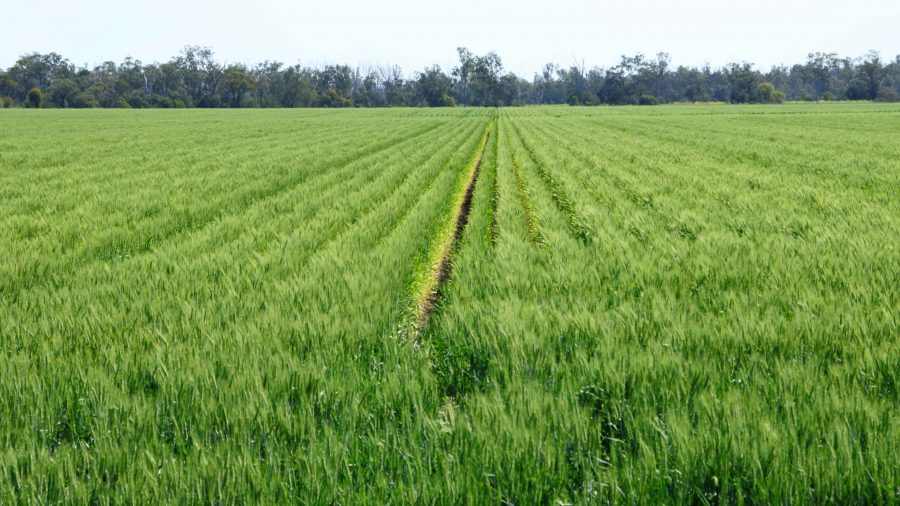
Recently germinated crops line the roadside in this part of the Darling Downs.
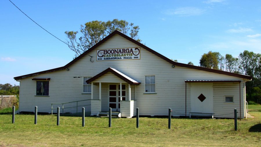
Boonagara, reached just before Chinchilla, built a public hall to commemorate success in using a grub to defeat cactus infestation.
Gil Weir is located just west of the Leichardt Highway, south of Miles

Friday saw us headed for Morven, a very small town where the Landsborough Highway branches from the Warrego Highway. It leads to Longreach as the major town in that direction. This piece of road is also known as the Matilda Way, but that is more for promotional purposes that accurate geography.

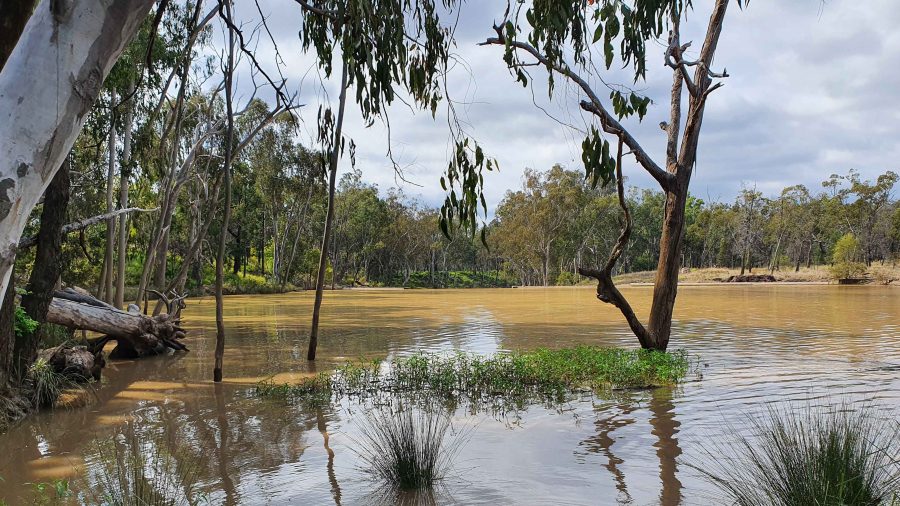
We checked for birds at Gill Weir, south of Miles and Judd’s Lagoon, south of the highway, closer to Roma. All that we found in both places was overflowing weirs and long term bush campers, most of which were in their highly equipped caravans. Rising water levels inundate water bird feeding grounds and I imagine, causes the birds paddle harder to stay in the same place. The birds are not silly. Thy go somewhere else.

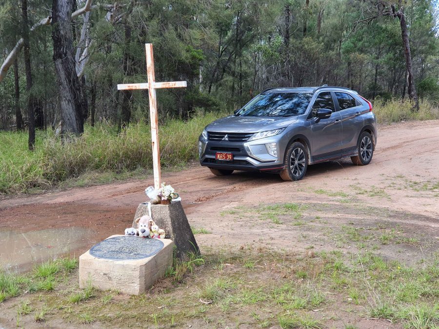
Memorial to fettlers wives near Dulacca
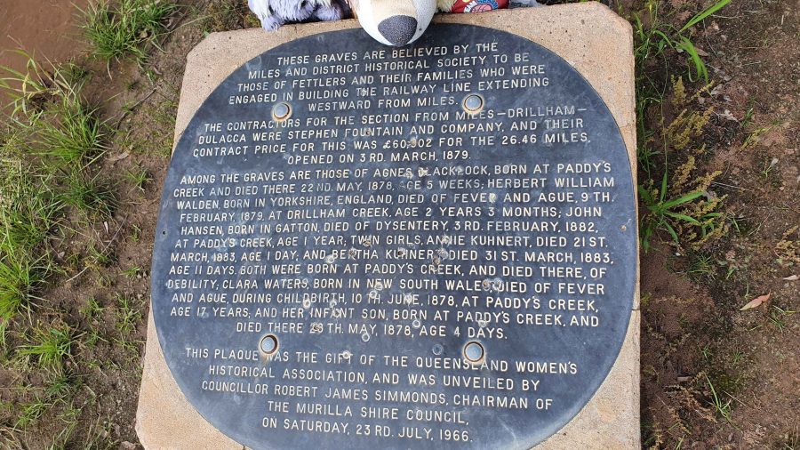
The informative plaque that is part of the memorial.

Roadside, just before Dulacca out towards Roma, we came upon a memorial to the railway fettlers and the women who supported them while building the western railway line from Miles to Dulacca in 1978-79. In those days families had to travel with their breadwinners if they wanted to see them. No FIFO in those days.

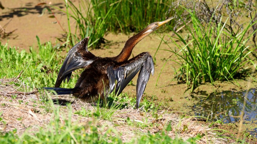
Australian Darter, drying off following a fishing session.

After morning coffee at Roma’s Big Rig, we had a look at Roma Bush Gardens, located just off the highway past the town centre. Walking around the lake was restricted by flooding but I did see some Mallards and an Australian Darter, drying its wings in the morning sunshine after fishing excursion.
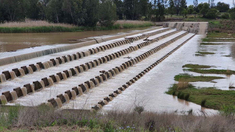
Neil Turner Weir on the Maranoa River at Mitchell was overflowing. We have not seen this in several visits.

We took our lunch break at Neil Turner Weir, a water storage on the Maranoa River near Mitchell. Mitchell is probably best known for its therapeutic artesian spars. We have used the camping area at the weir on several occasions but had not seen the dam overflowing before. It reminded us that so much of our travel through Australia’s outback occurred during the drought years.

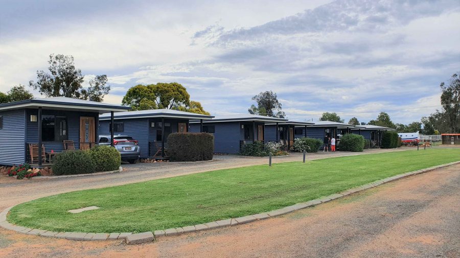
The Pick-a-Box Motel at Morven
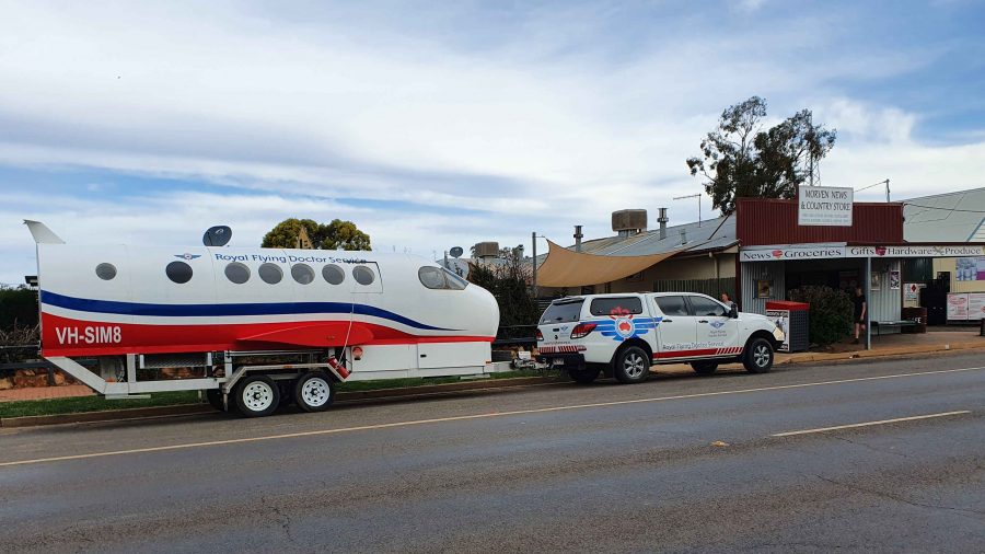
A Royal Flying Doctor Promotional Van Parked Outside The Motel.

The Pick-a-Box Motel was our resting place for the night. The motel is a small group of newish iron-clad cabins near to and managed by the Morven Hotel, recently rebuilt following a fire. The only excitement in town was a Royal Flying Doctor Service caravan in the shape of an aircraft fuselage, parked in the street outside.

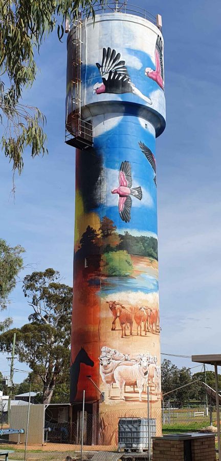
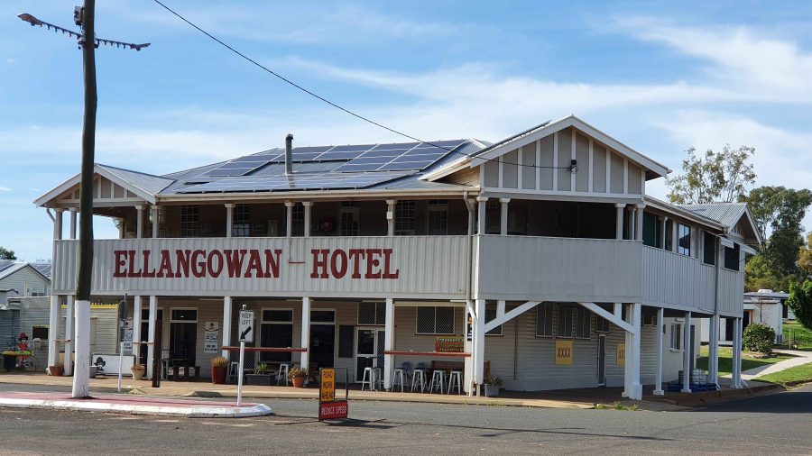
So, from Morven on Wednesday morning, we turned north-west on the Landsborough Highway. First stop was a call at the first town, Augathella, a distance of about 90 km. The town is quite old and has been supporting the local agricultural community since its founding in 1883. Like many outback towns, it has upgraded its visitor facilities for grey nomads. Artists have painted pictures on its water tower, art silo fashion.

The Ellangawan Hotel bears Augathella’s original name.
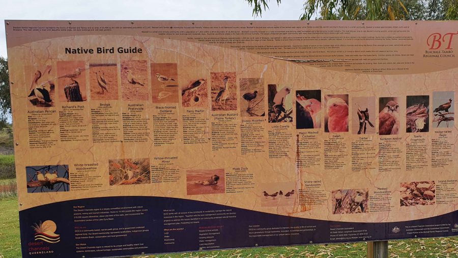
The list of local water birds at Tambo. Most on the list were conspicuous by their absence.

Next, about the same distance further north-west, we arrived at Tambo, another pioneering town (1868) with good visitor facilities. We paused for morning coffee beside the small dam at the entrance of the tow. By the lake there is an information sign providing details of the many water birds to be found in the area. There were very few on display for us, although small birds such as Noisy Miners were busy in the tree.

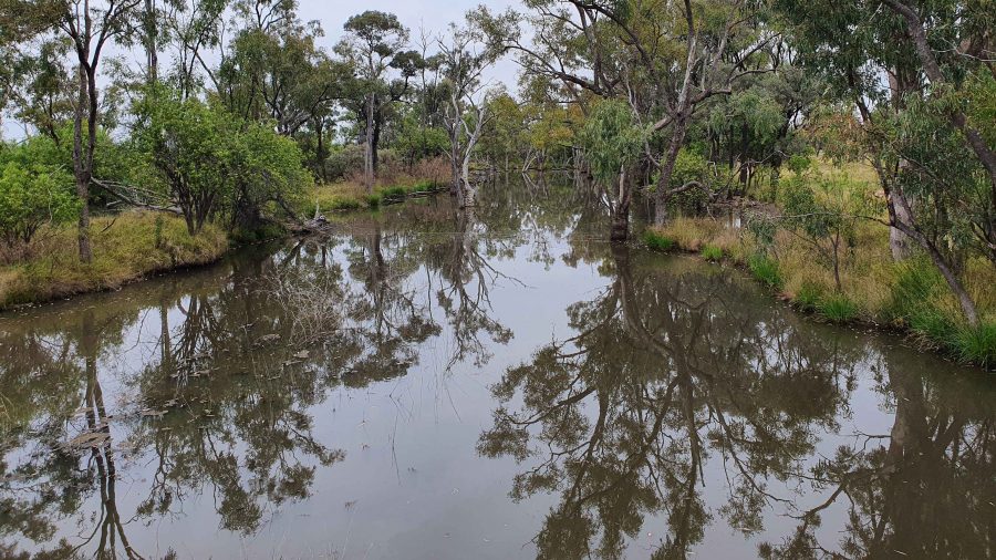
Continuing, we crossed the Barcoo River and arrived at Blackall, which was built on the banks of that stream. Major Thomas Mitchell explored this part of Australia in 1846. The town developed in the 1860s as an agricultural service centre. Again, it has good tourist facilities. It is surrounded by vast expanses of open naturally grassed pasture, as is much of this area. We had been driving through it all morning.

The Barcoo River at the Landsborough Highway crossing.
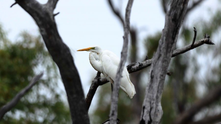
An Eastern Great Egret perched in a tree over the Barcoo River.
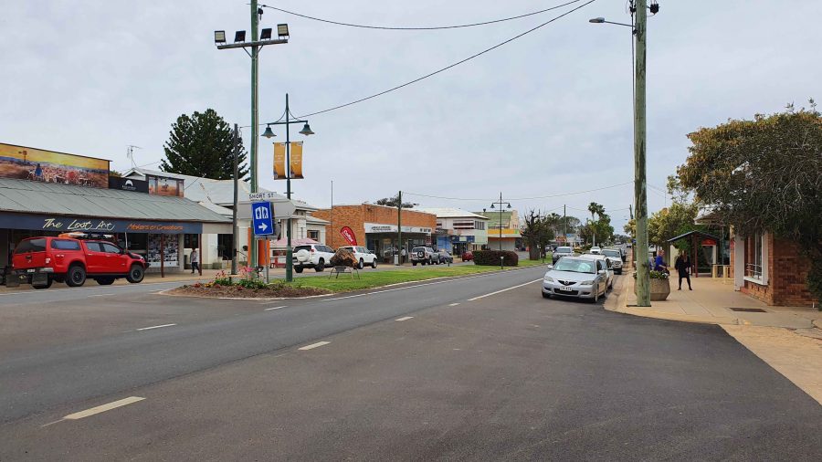
Blackall main street is the highway.
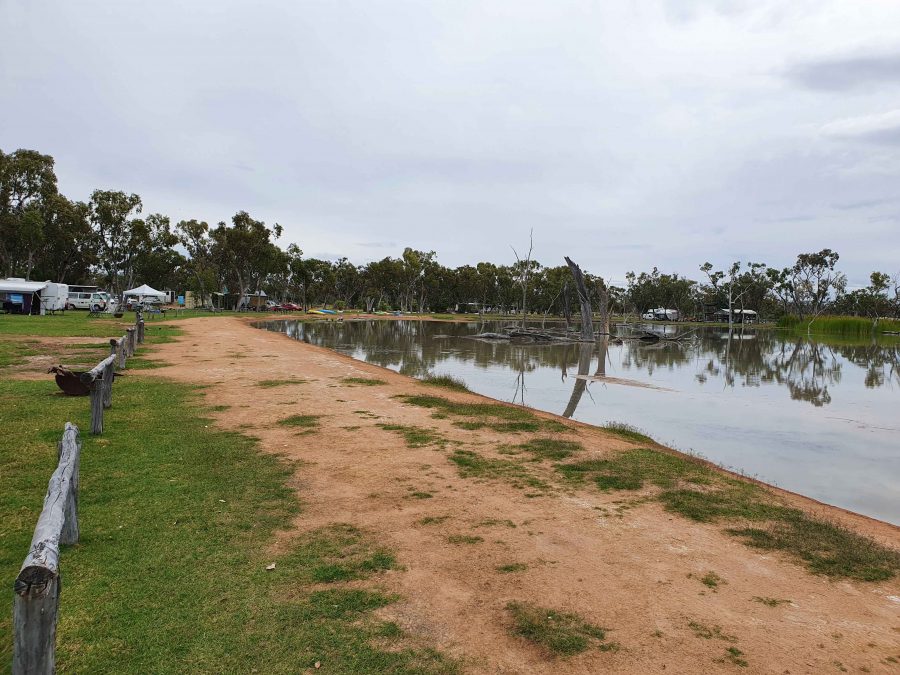
Part of the billabong and camping area at Lara Wetlands

The next town along this highway is Barcaldine, but about 45 km before that we turned off to the left and drove the 16 km of dirt station road to look at Lara Wetlands. This is a camping area that almost surrounds a large waterhole filled with dead trees, so is probably the result of a dam. Lara Station is an operating cattle station. They run the camping ground in conjunction with the station. There are reported to be 164 species of birds identified in the area. But there is no power and only one cabin. Interesting spot, all the same.

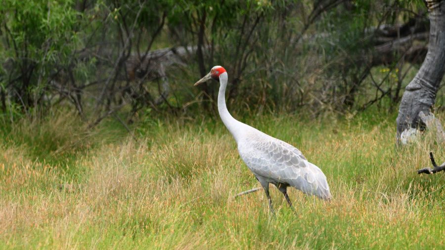
A Brolga by the road as we drove into Lara Wetlands.

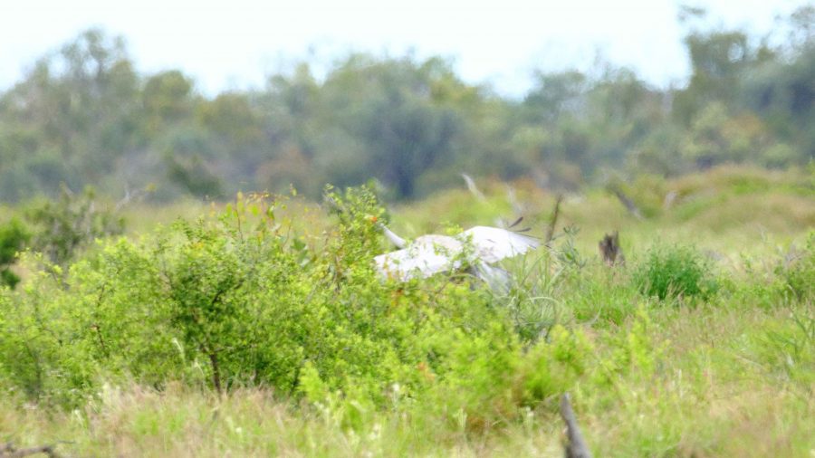
As we drove into the Lara Station, Ruth saw a large grey bird at the edge of the trees. I stopped and got some good photos of a Brolga. It was wandering up and down and seemed quite settled but as I turned back to the car, I heard the whoomp whoomp whoomp of large wings as the Brolga took to flight. I turned just in time to snap it disappearing behind some brush. Not a very good photo, sadly.

The Brolga landing in the brush by the roadside.

We refuelled at Barcaldine, paying for the first time just over $2 per litre for unleaded petrol. At Barcaldine the highway turns left and west through Ilfracombe to Longreach. Scattered cloud meant that the western sun was not too much of a problem. We had travelled quite a distance in pursuit of the setting sun since leaving Brisbane, so the days were ending quite a bit later.

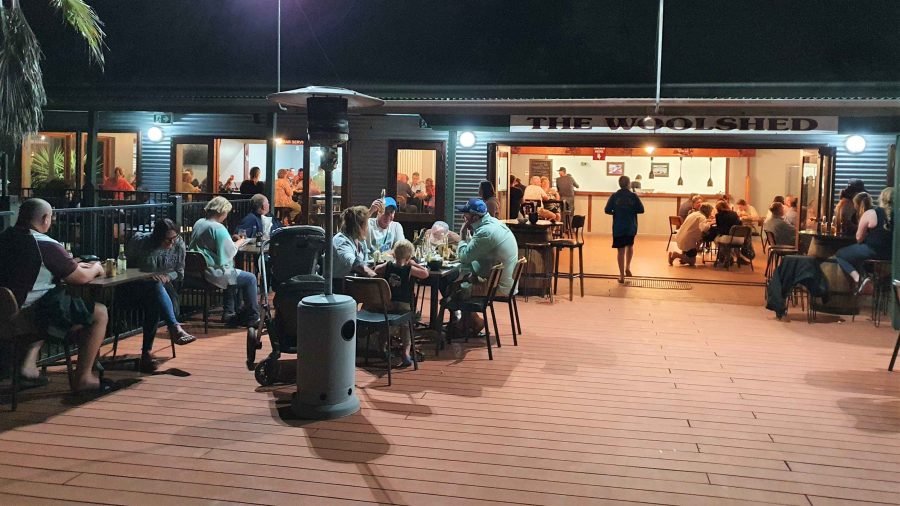
The deck at the Woolshed Restaurant at Longreach.

We were able to get a booking at the Woolshed Restaurant at Longreach Tourist Park, where we had a cabin. Last time we were here they were booked out. They were again but we had booked in time. An excellent meal even if the entertainment was a bit loud.

While at Longreach we returned to Ilfracombe and also drove south to Isisford. That drive is covered in the next blog post.

West, Centre & Flinders – Days 54 to 55 – Flinders Ranges and Rain Part 1

The Iron Knob mine, viewed from the Iron Knob Kingoonya Road

The Iron Knob mine, viewed from the Iron Knob Kingoonya Road

The water in the showers was little more than warm on our first morning at Mt Ive Station. On the second morning it was hard to tell the hot tap from the cold tap if judged by the water temperature. A check at the hot water donkey revealed an extinct fire and not much ash. The stoker had obviously fallen down on the job. Ruth and I made the best of it with a quick cold wash. When we drove out of the camping area we could see the stoker hard at work getting the fire going again. A grim faced lady in a pink dressing gown was marching up and down keeping him under close surveillance as she waited for hot water for her shower.

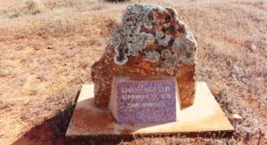
The Edward John Eyre commemorative plaque

The Edward John Eyre commemorative plaque

In returning to Port Augusta via Iron Knob we were retracing our steps, so did not expect to see anything new. But we were wrong. Not far into our journey we found a plaque advising that Edward John Ayer had camped for the sixth night in his exploration at a point near where the road now runs. He passed that way on 23rd September 1839. There was a picnic table nearby and a sign to advise that the table and plaque had been placed there by the Gawler Ranges Progress Association. Thank you GRPA.

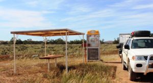
The "donation" telephone box

The “donation” telephone box

About 60 kilometres further on, the homestead for Siam Station stands a few hundred metres off the road. Beside the road, within sight of the homestead, stands a telephone box, next to a small picnic shelter. The shelter has a single piece table top sawn from a large log, but no seats. The phone is still in the phone box but it is not connected. Instead the coin box has been converted into two donation boxes, one for the Gawler Ranges Progress Association and the other for the Royal Flying Doctor Service.

The phone box is covered with bumper stickers from organisations with an interest in the area. There are also large stickers warning that the box is under closed circuit TV surveillance. We stopped in the parking area provided, for a coffee break, placed donations in each of the boxes and moved on. They are very practical folks in the Australian bush and passionate about the RFDS. There are no shortages of opportunities to donate.

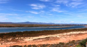
The cliff top view of the northern extremity of Spencer Gulf and the lower Flinders Ranges

The cliff top view of the northern extremity of Spencer Gulf and the lower Flinders Ranges

Before entering Port Augusta on our return we deviated north a bit to a lookout from a cliff top by the very top of Spencer Gulf, on the shores of which the town is built. The arid lands botanical garden is in the same area but we did not have time to visit there. But the cliff top parking area suited the dual purpose of a place to stop for lunch and a different view of Port Augusta. It also provides excellent views of the lower Flinders Ranges that extend well south towards Adelaide.

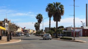
Part of the main street of Port Pirie

Part of the main street of Port Pirie

When putting out our awning at Mt. Ive, a vital bit broke off one of the handles that are used to slide the extendable arms that hold it the awning in the extended position.  The result was that we could not fully extend the awning, not a good situation in wet or hot weather. To replace the handle was a bit of a priority. We were not able to source one in Port Augusta but did

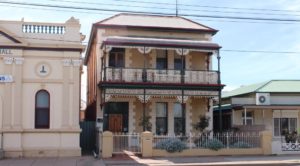
A stately home in Port Pirie

A stately home in Port Pirie

locate one at Port Pirie, about 90 kilometres to the south. So instead of heading for Quorn, a small town in the Flinders Ranges just north east of Port Augusta, we continued on, picked up our handle and proceeded to a local caravan park to spend the night and make the necessary repairs.


Quorn’s main claim to fame is that of its connection with the Pichi Richi railway. The steam  and vintage diesel trains that comprise the railway operate on part of the old Ghan railway line, to the south of the town, to Port Augusta. It gets its name from its passage through the Pichi Richi Pass, the gap in the range by which both road and rail reaches Port Augusta. Some trips start at Port Augusta and return later in the day, having given passengers a couple of hours to look around Quorn and have lunch. Other services start from and return to Quorn. The train operates at weekends and more frequently during school holidays. If you are relatively wealthy, you can book a ticket and go for a train ride for a couple of hours, or the best part of a day, depending on the service that you choose. If very wealthy you can book a seat on the lunch train, known as The Coffee Pot.

There must be a few wealthy people around as when we tried to book into the caravan park for a Saturday night stop over we found it to be fully booked, because the train was operating that weekend. As the caravan park is the only such establishment in town we opted to drive a further 70 kilometres or so to Hawker. Hawker was our next destination after Quorn, so we were not inconvenienced. We had intended to spend one night in Hawker and then move on further into the ranges. Hawker is built on a plain within the ranges. Mountains are visible all around but the town is flat.

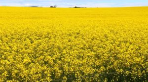
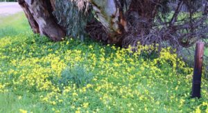
Canola in full bloom at the top of Port Germein Gorge

Canola in full bloom at the top of Port Germein Gorge

We made our way from Port Pirie through the Port Germein Gorge to Murray Town, then through Wilmington and Quorn to Hawker. The Port Germein Gorge is a very interesting drive. The road is narrow and winding and faithfully follows a stream that would be an interesting sight during heavy rain. Unfortunately there was nowhere to stop to take photos, so our passage through is unrecorded. But as we emerged on the eastern side of the range we were met by the yellow brilliance of flowering canola. This area is part of the Southern Flinders Ranges.

Floral decorations at our roadside lunch stop

Floral decorations at our roadside lunch stop

Rain was forecast and we found the start of it at Melrose, a small town with a pub beloved by bikers, that stands at the foot of the rather remarkable Mount Remarkable.  The rain was only showers but required application of the windscreen wipers from time to time. We reached Hawker at about the same time as the rain, although it did give us time to set up before it became heavy. But rain had been falling to the north of Hawker for much of the day, so all of the unsealed national park roads and most station tracks were closed.

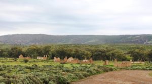
The ruins of Kanyaka Homestead 25 Km south of Hawker. It was built in 1860 and abandoned in 1888

The ruins of Kanyaka Homestead 25 Km south of Hawker. It was built in 1860 and abandoned in 1888

The rain cleared as Sunday morning dawned, but with so many roads closed we decided to stay at Hawker for two more nights to give them a chance to dry out. But sunshine and a brisk wind dried out some local roads quickly, allowing us to get out and see some things after lunch. Ruth had been busy with washing during the morning, battling with a clothes dryer that was reluctant to do its job.

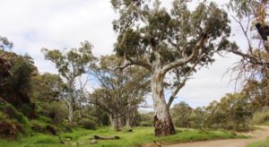
Stately River Red Gums in the bed of the creek at Willow Waters camping area

Stately River Red Gums in the bed of the creek at Willow Waters camping area

We drove east of the town in search of Willow Waters Gorge that appeared to be not far from town. But when we reached its apparent location we were only at the turn from the main road, with a further 14 kilometres to travel to the gorge. The road was solid with only a few puddles but we had to negotiate a number of cattle grids and a small flock of rams being herded along by a two stock men in utilities. We met them on the bay back and they hadn’t made much progress.

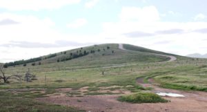
The road up Pugilist Hill

The road up Pugilist Hill. It is steeper than it looks.

After returning to town we drove up the road that leads to Wilpena Pound, turning just before the national park boundary into Martins Well Road, to find a lookout on the quaintly named Pugilist Hill. Martins Well Road leads 48 kilometres to a cattle station of that name but then, like so many station access roads in remote Australia, leads on to other destinations.

Part of the Chase Range from Pugilist Hill Lookout

Part of the Chase Range from Pugilist Hill Lookout

Pugilist Hill Lookout provides a vantage point for viewing the Chase Range, one of the major and most picturesque ranges in the Flinders Ranges. It is long, with many peaks, its red rock mass forming one side of a long valley.  Vegetation struggles to maintain a foothold on its precipitous slopes. The Chase Range is at its best in afternoon sunshine but there were still clouds lingering, which spoiled the effect to some extent. But it was still awesome. As was the drive to the summit of Pugilist Hill, and the subsequent decent!

Part of the view from Jarvis Hill of the area to the south of Hawker

Part of the view from Jarvis Hill of the area to the south of Hawker

As a last activity for the day we drove about 8 kilometres west of the town to Jarvis Hill Lookout, another sharp climb from the plain. Unfortunately, attaining the lookout point requires a scramble over rocks and rough ground, so I didn’t walk the whole distance. But the view was good, although I could not see Hawker, but I did find more wild flowers that we had not previously seen.

We returned to the van as the sun disappeared behind the range that we had just ascended, to crank up the heater in preparation for another cold night. The temperatures have been around 13 to 15 during the day and often down to 2 or 3 during the night. The heater is frequently on all night.

Oh, and did I mention flies? We have been coping with them in increasing numbers since Rockhampton.