I would like to have visited the Cunnamulla area, to check out some of the better known birding sites in the area, but time available in between commitments did not allow for this to be planned. So instead we went only as far as Dalby and returned home via the Gold Coast, to keep an appointment for lunch with friends.
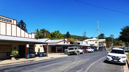
So on Tuesday 21st September we drove to Dalby via the Bunya Mountains. It’s not much further than the Warrego Highway, but does take a bit longer. At Dandabah, the tiny community centre of the Bunyas, it was blowing a gale and was about 10C, so no photos were taken and no walks attempted, but we did have lunch at Poppies Coffee Shop. The gale was still blowing at Dalby, with winds of 50+ km per hour, from the south west. So no Dalby photos either, but we did brave a visit to Myall Creek and I had a walk along the path beside the creek.

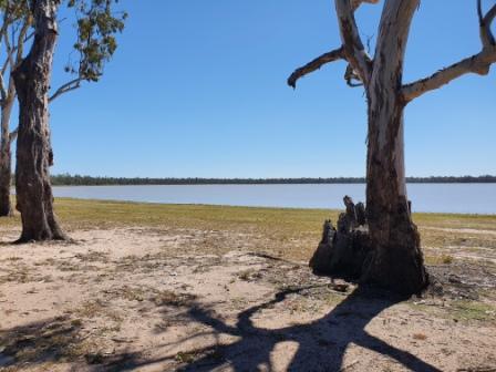
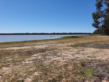
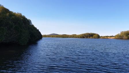
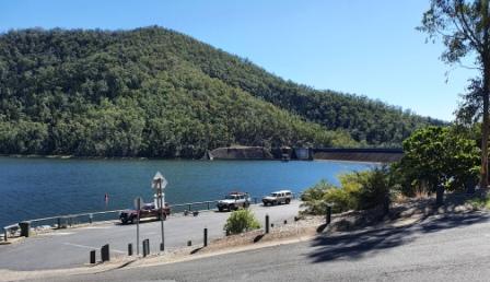
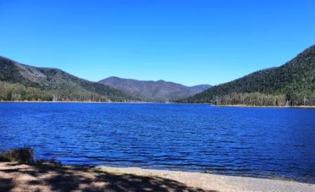
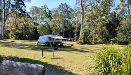
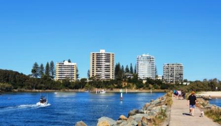
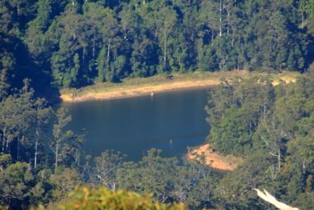
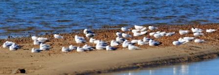
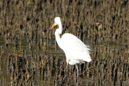
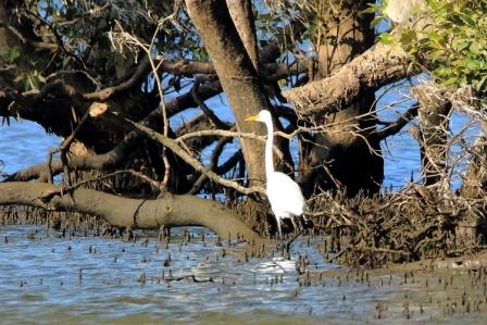
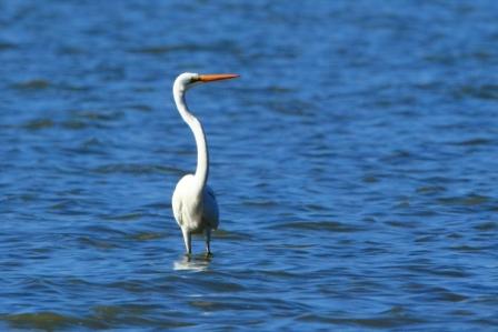
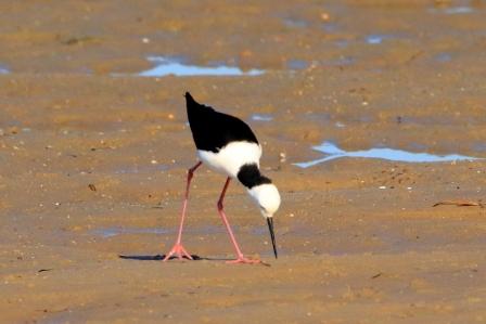
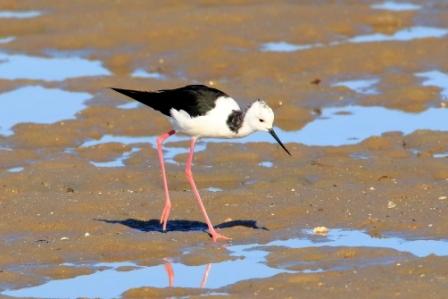
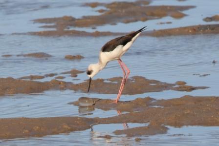
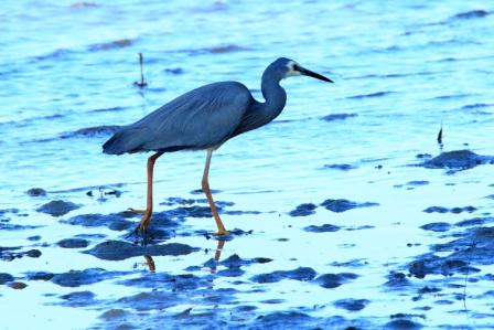
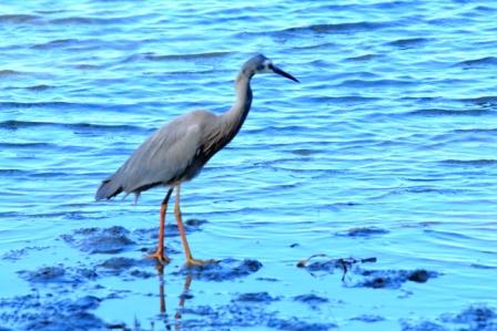
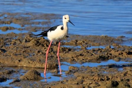
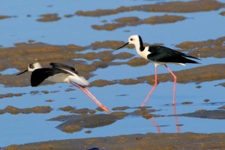
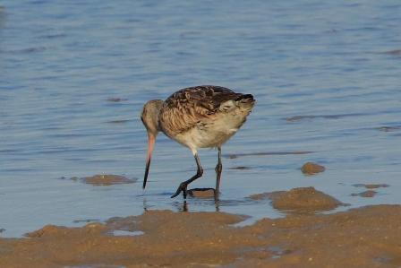
The attraction at Dalby was Lake Broadwater, 30 km to the south west. Had weather been normal we had intended to visit on Tuesday afternoon in an attempt to maximise the opportunity for bird photographs. That didn’t work out, so we did not visit there until Wednesday morning. The wind had abated and the surface of the lake was relatively undisturbed.
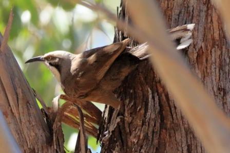
Grey-crowned Babbler 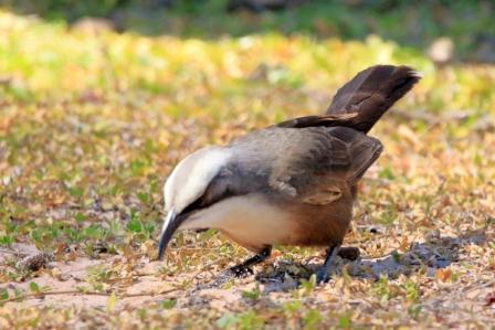
Grey-crowned Babbler 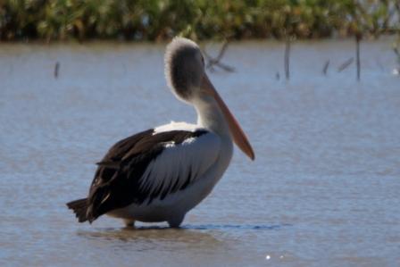
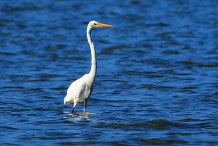
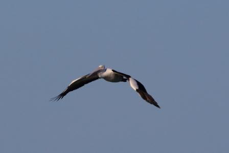
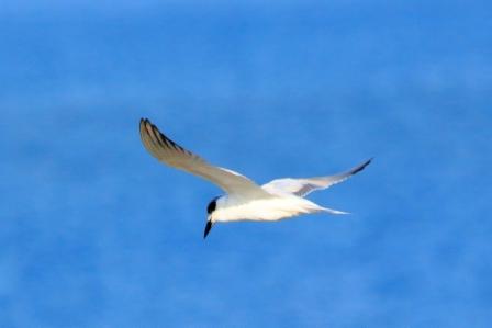
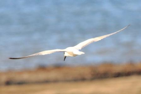
Australian Pelican
We had intended to call at Lake Broadwater during our caravaning days, but never did. We found a surprisingly good camping area and lots of day use facilities along the shore line. We enjoyed a Thermos morning coffee with a view over the lake. But of the 180 or so species of bird claimed to be resident in the reserve we saw but a few. I did make a first sighting of the Grey-crowned Babbler but apart from Magpies and Pelicans there was few to see. A bit too late in the day, probably.
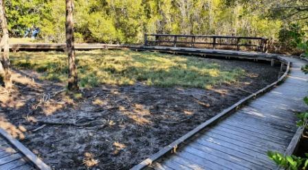
Caravan Area 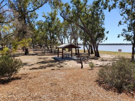
Camping Area 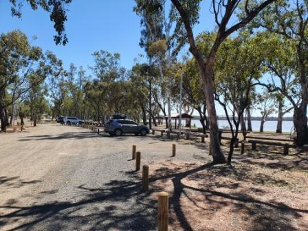
Day Visitor Area
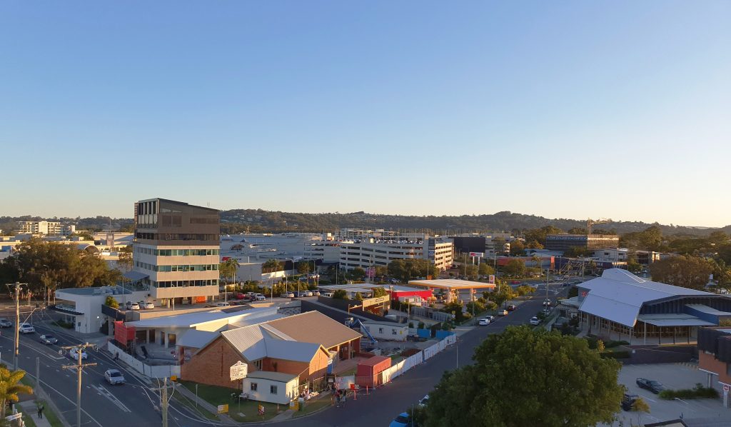
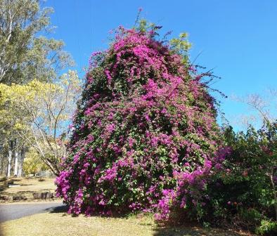
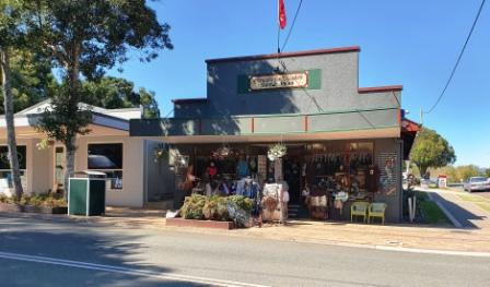
From the lake we returned to Dalby and then drove south east to Toowoomba, via Oakey and a lunch stop at the suburb of Wilsonton. It being September and school holidays, Toowoomba was in the grip of the colourful blaze of Carnival of Flowers.
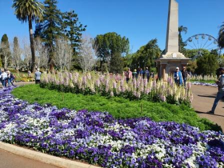
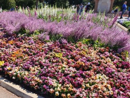

As the gardens at Laurel Bank were almost on our path through the town they were our first choice. But alas! No parking spaces were available. So we went to Queens Park and lucked onto a spot right near the gate. We wondered if the displays might be damaged from the high wind on Tuesday but there was little sign of damage. But, as usual, an exquisite display.
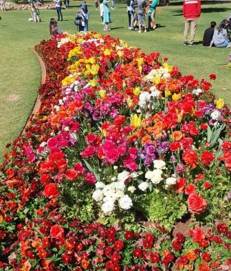
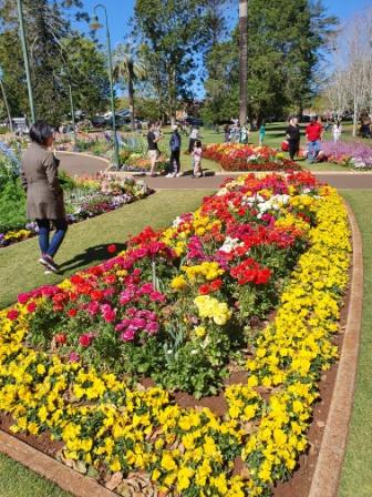
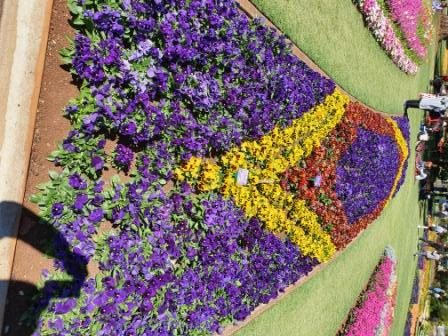
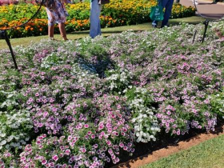
We wandered through the rather crowded area and gave ourselves plenty of time to view the displays. But as you leave you cannot help but enquire of yourself “Isn’t there another photo that I should take?”
Plaque at Main Gate 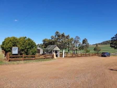
Entry and Parking 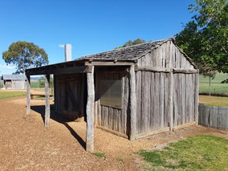
Typical Farmers Hut of the Period
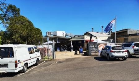
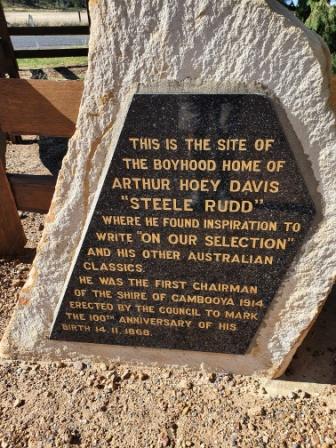
Warwick is an easy 84 km drive south of Toowoomba. But we diverged at Emu Creek to visit the Steele Rudd Memorial Park. Rudd’s real name was Arthur Davis, who later used his experiences as a youth on the “selection” as material for his book “On Our Selection” and some of his other work. He was quite a prolific writer of novels and plays in the late 1800s and early 1900s. The old radio series “Dad and Dave” was based on his writing.
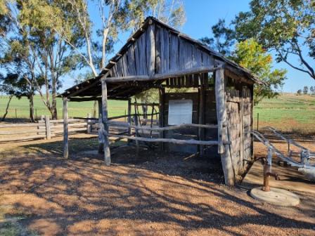
Farm Shed 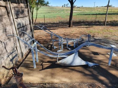
Soil Tilling Implements 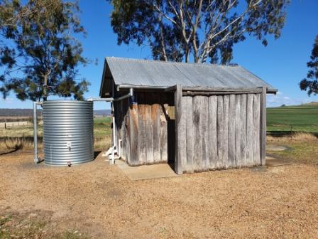
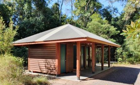
Period Themed Toilets
The park is on the site of the house on the selection where Watson (Rudd) lived as a child. Recreated versions of the buildings of the day are on display, with a bit of farm equipment and numerous plaques that tell much of the story of his life.
The park is only about 1.5 km from the New England Highway and is well worth the effort to call. If you were diverging on a drive from Toowoomba to Brisbane, the park is on a road that leads to the Clifton to Gatton road that provides an alternative route from the Southern Darling Downs to Brisbane.
We drove on and spent the night in Warwick, where the temperature at 8.00 AM next morning was a mere 8C. So we lingered to a bit closer to check out time.
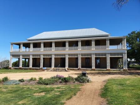
If time had permitted the previous day we would have called at Glengallan House as we drove past. This interesting piece of history is located about 15 km north of Warwick, beside the New England Highway, a couple of clicks past the intersection with the Cunningham Highway.
The mansion was built on one of the first grazing leases in the Southern Darling Downs. It has a long history and has had many owners. It fell into serous disrepair but was rescued and has been restored to some of its former glory. It is now owned by a trust purposed for its improvement. There is still a lot of work to be carried out.
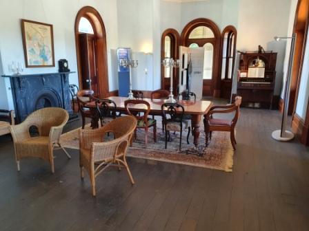
Dining Room 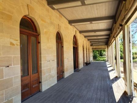
Front Ground Balcony 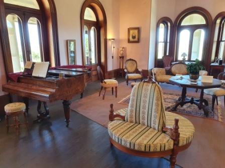
Drawing Room
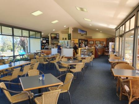
A café has been included in a reception building, with a gift shop and administration offices. It costs $10 to see through, and the tour is self conducted. Your effort is well rewarded by the picture that you will gain of life in the area in the late 1800s and the early 1900s. We had coffee before moving on.
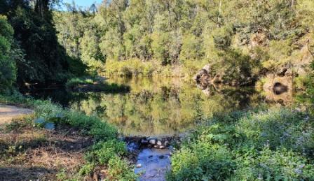
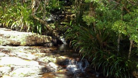
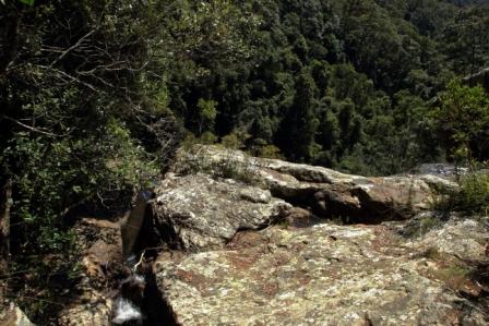
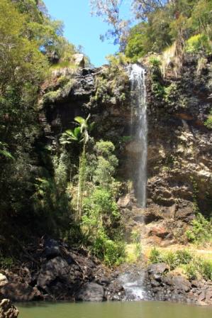
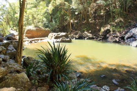
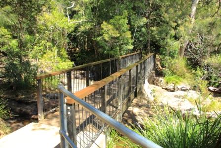
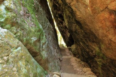
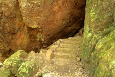
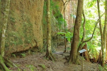
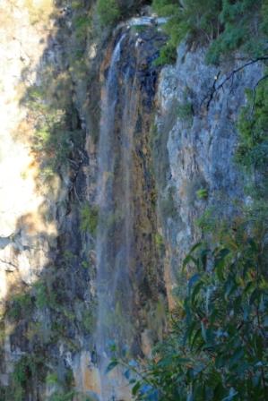
We travelled to the Gold Coast via Killarney and Queen Mary Falls. I finally realised my ambition to walk down to the bottom of the Falls. The full walk was about 2 km and took about 45 minutes, including stops for photos. There is a good quantity of water flowing down the river at that point. Waterfalls are their own reward.
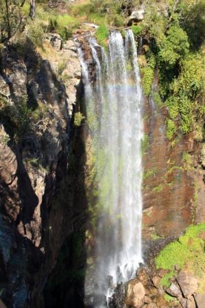
Queen Mary Falls 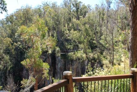
View into the gorge
We then drove the mountainous and winding Spring Creek Road to Boonah and on to the Coast. We were lucky to have been able to do the drive, as roads between Queen Mary Falls and Boonah were to have been closed for major repairs. But because border closures have had such an impact on businesses in the area the work has been deferred.
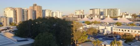
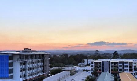
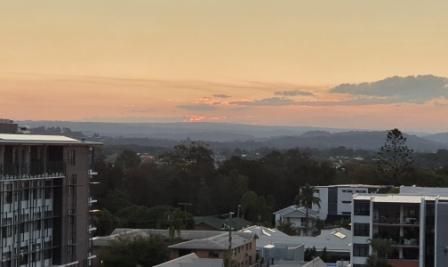
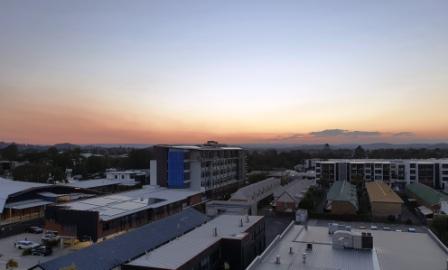
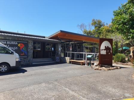
We spent two nights at the RACV Royal Pines Resort at Benowa on the Gold Coast. On the intervening day we took a run up to Binna Burra. We hadn’t been there for a some time. The resort area and visitor facilities, of course, had been burned out in the interim.
The Binna Burra visitor area and other track head parking lots remains popular as access points to the eastern parts of the Lamington National Park. Groups of cars were parked at the start of walking tracks. At the visitor facilities, we secured the last parking space.
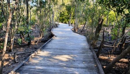
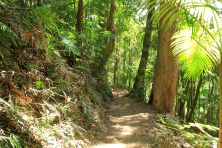
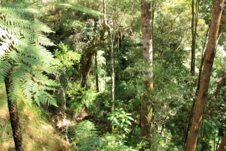
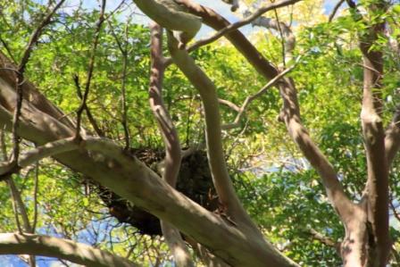
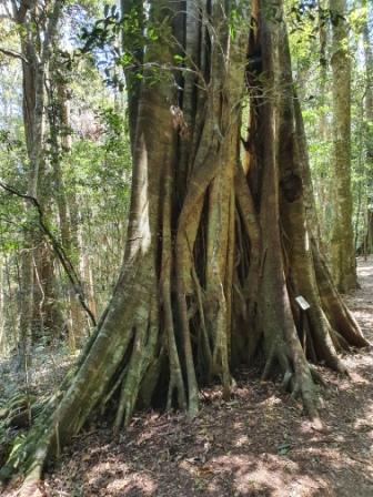
I walked the 1.2 km Rain Forest Circuit, during which I met a number of other walkers, some casual and some with back packs, as parts of the path are shared by other walks including the Border Track that links Binna Burra with O’Reillys Rainforest Resort.
The visitor area has been rebuilt since the fires with the old facilities renovated or replaced. It now has a modern appearance.
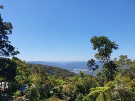
The main change is that the original chalet building that was at the top of the mountain as you turned right at the T intersection has not been rebuilt. A large shed occupies that site. New luxury units have been built to the east of that area where they enjoy sweeping views of the coast and the privacy provided by a “Guests Only” sign. But you can see the top of the units from the road, just before you reach the resort entrance.
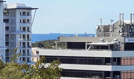
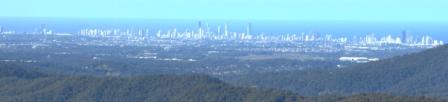
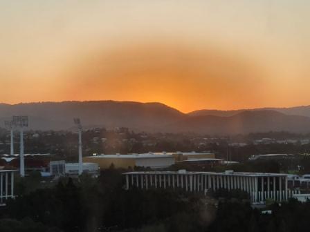
We had lunch in the café located in the visitor centre building, with coastal views through the vegetation, but views were obscured a bit by haze.
Binna Burra is always a pleasant place to visit.
Back at the hotel, room service sufficed for dinner. We couldn’t be bothered leaving the room, let alone the hotel. Increasing age has its effects.
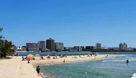
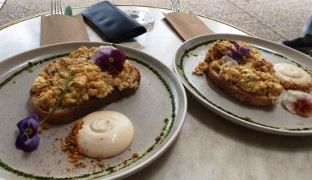
With a lunch appointment at the Kurrawa Surf Lifesaving Club at 11.30 AM there was no hurry. Check out time was at 11.00 AM so there was plenty of time. After a leisurely lunch we made our way back to Brisbane along a pleasantly quiet highway.
.