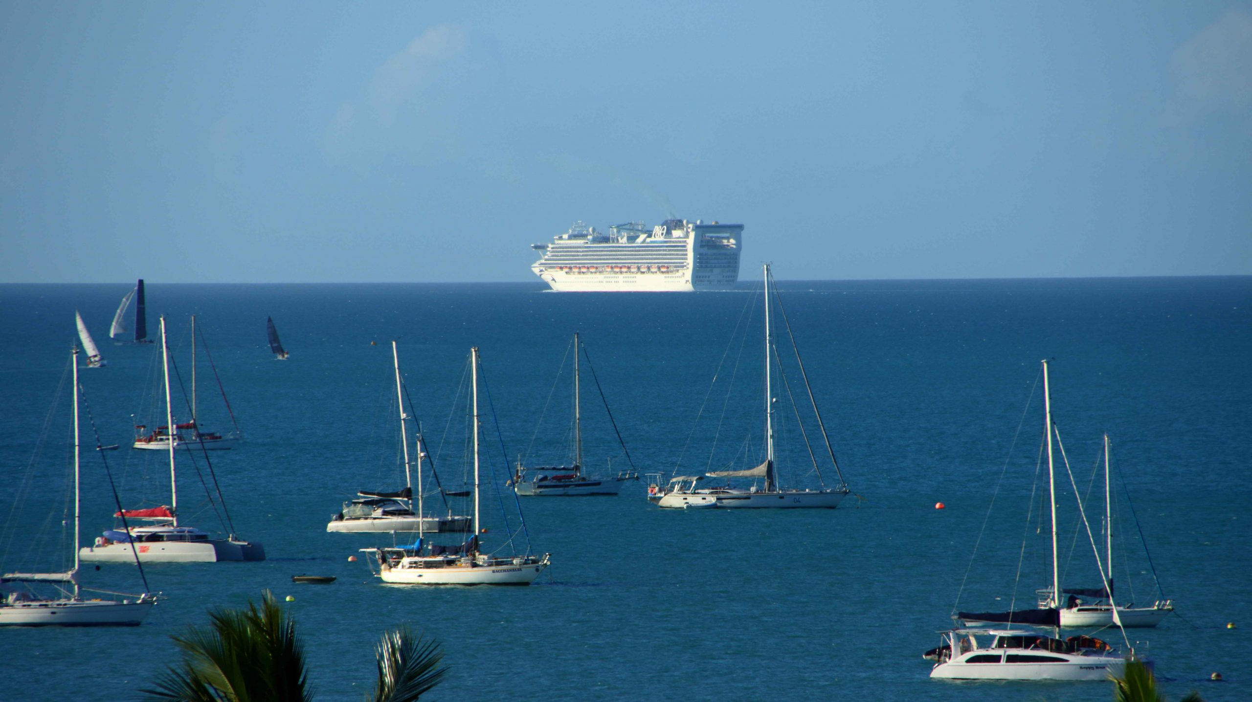
We woke early on Thursday morning, as daylight flooded into our bedroom. I arose to greet the morning and to photograph the sunrise. Out on the horizon was an inbound cruise ship, sister ship to the boat in port yesterday.
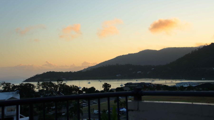
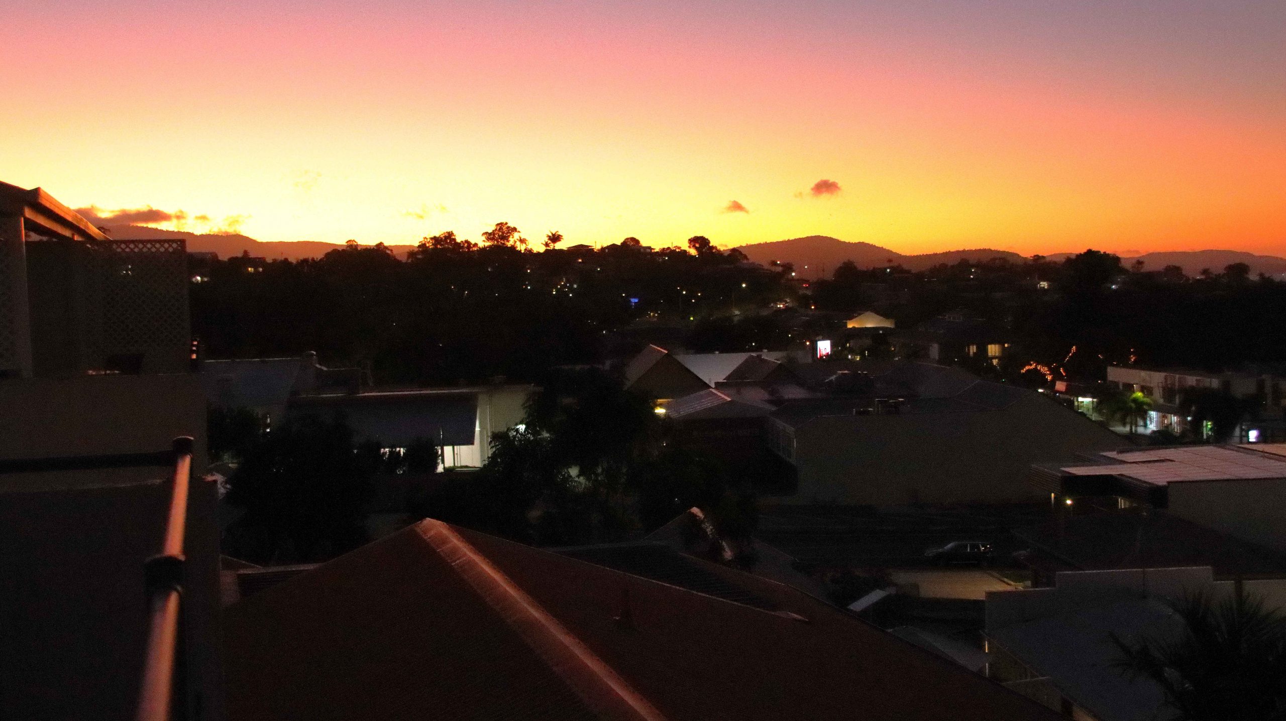
There was little cloud, so no early indication of where the sun would rise. I waited well beyond the published time of sunrise and then realised that old Sol was coming up right behind the highest mountain peak opposite to Airlie Beach. So, there was no brilliantly coloured sunrise to photograph.
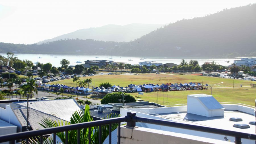
cruise day markets in the open space
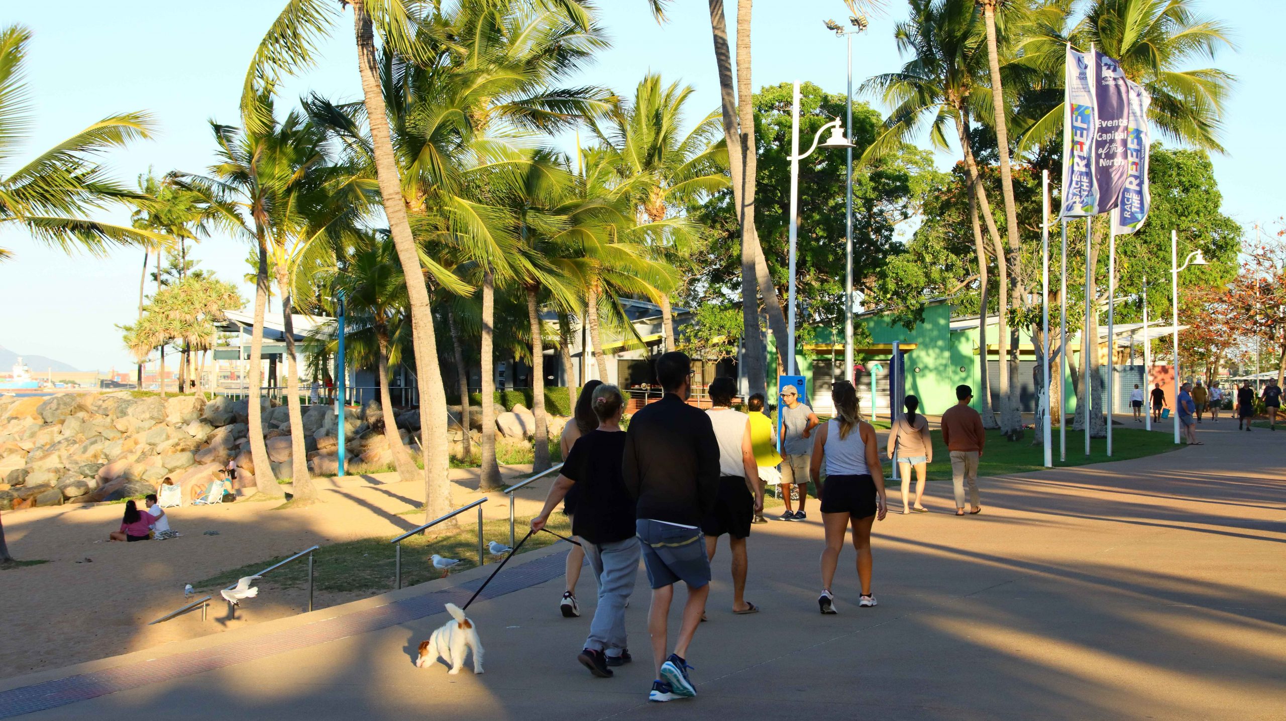
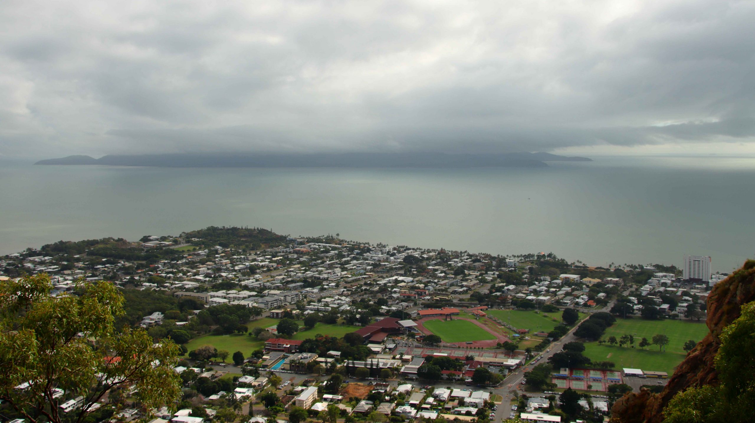
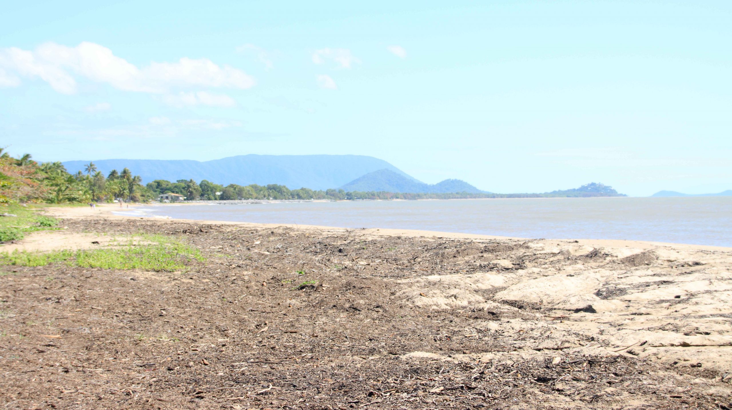
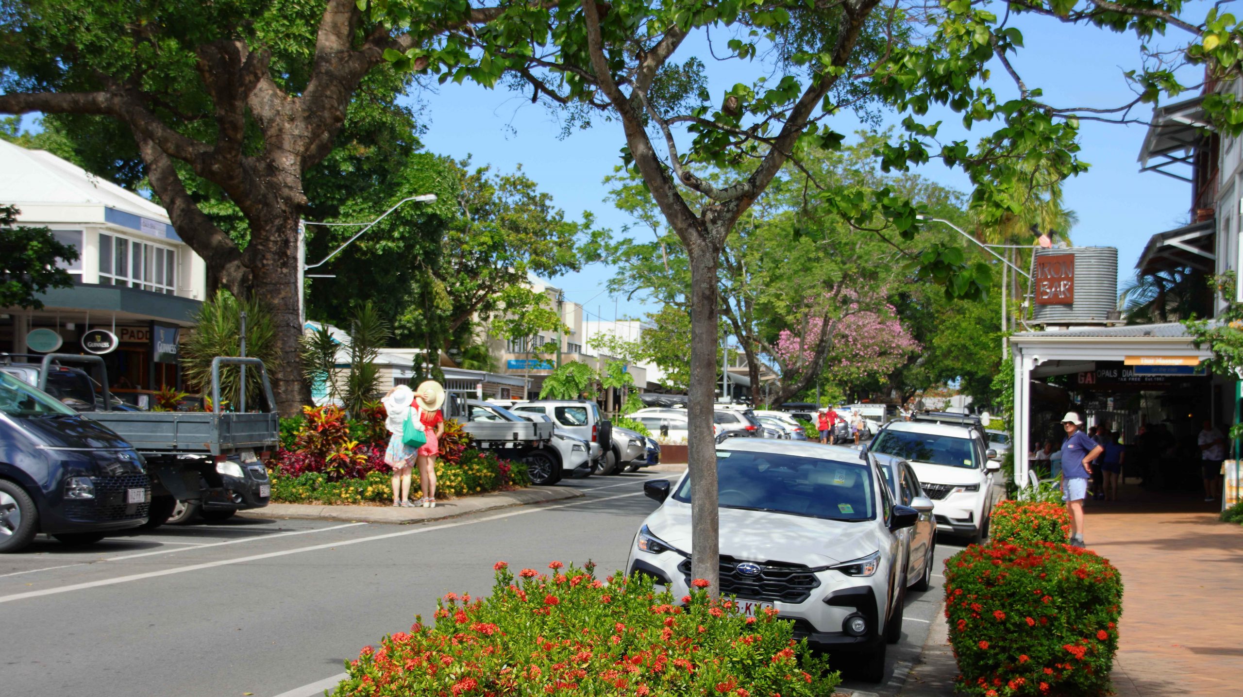
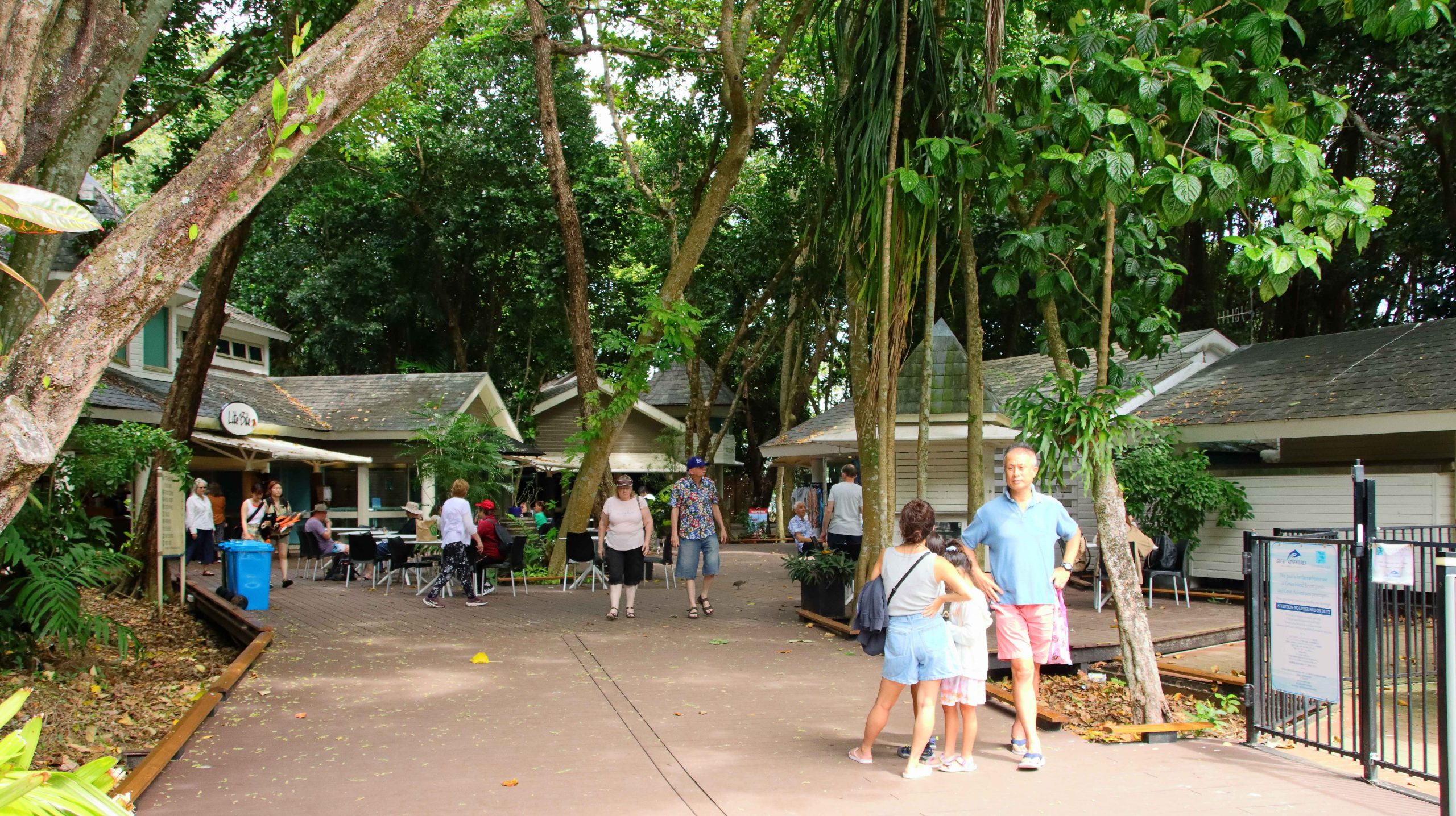
In the open area between the town and Port of Airlie, a market was taking shape. I assume that it is there for the additional visitors that the cruise ships bring to town. Even with the extra numbers, the town did not seem all that busy. But I guess many of the day visitors were doing things among the islands or on the reef.
seating or view
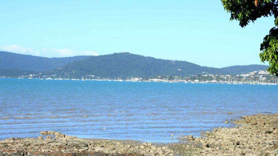
Around mid-morning we went out looking for coffee and headed towards Cannonvale, hoping for a water view. The only place that fitted our specifications was crowded. I took a walk along the Bicentennial Walking Track to build my days step count. We then went back to the town area of Airlie Beach where we achieved our coffee location objectives.
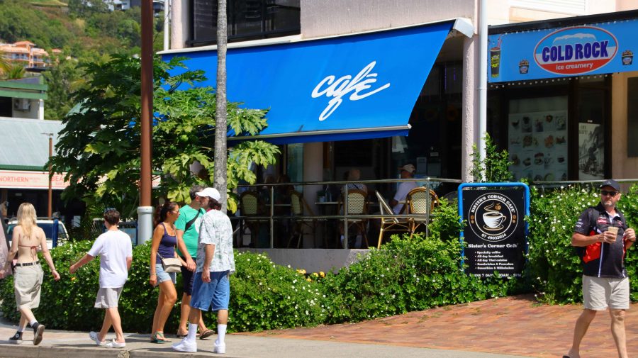
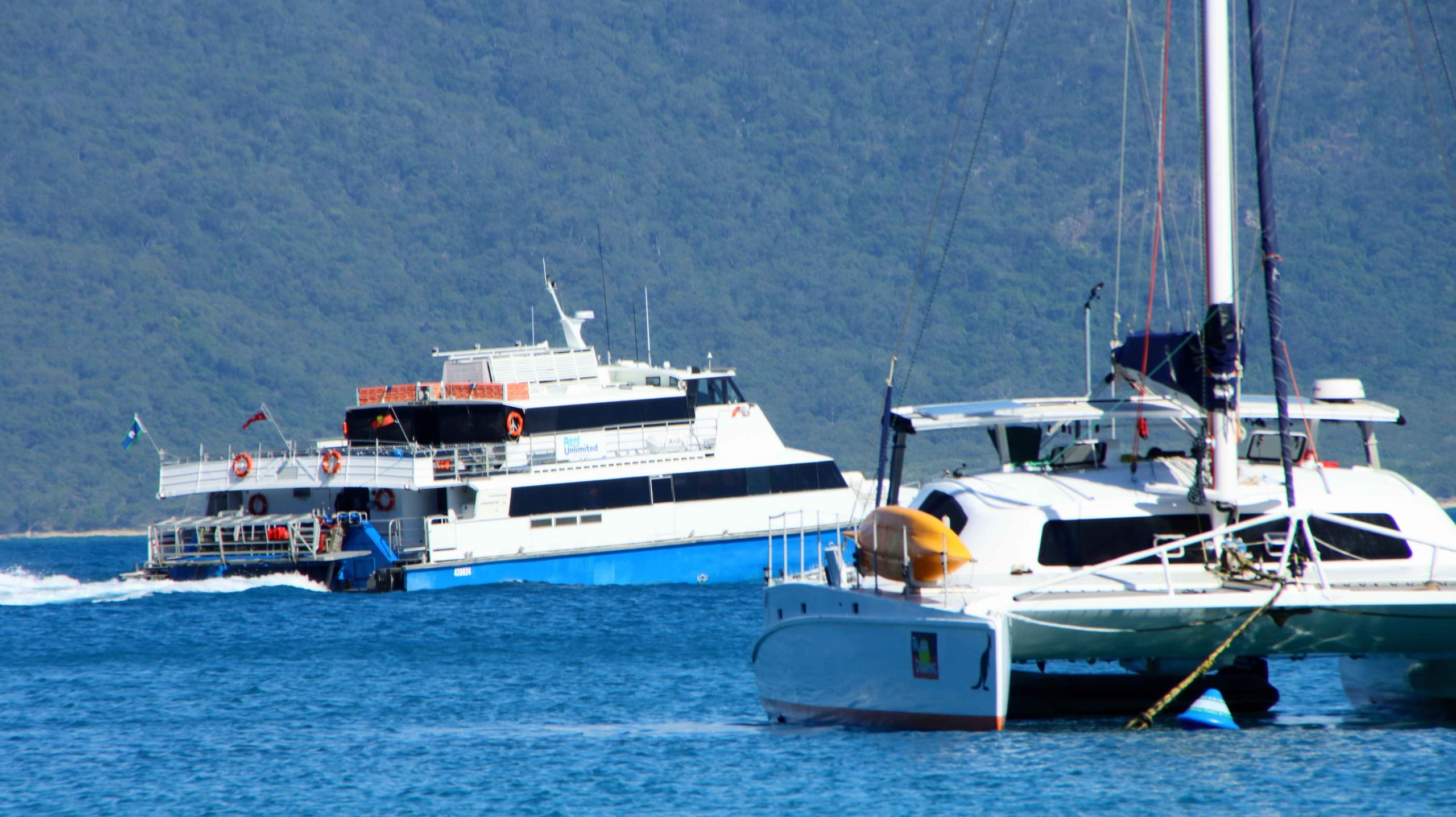
The man who took our coffee order asked if we were off the cruise ship. That lead to a discussion during which he told us that he was a retired charter skipper, so we talked Whitsunday Islands and cruising for a few minutes. As a retired recreational sailor myself and having chartered a catamaran in the Whitsundays with a group, this was something of a reminiscence, bringing back pleasant memories.
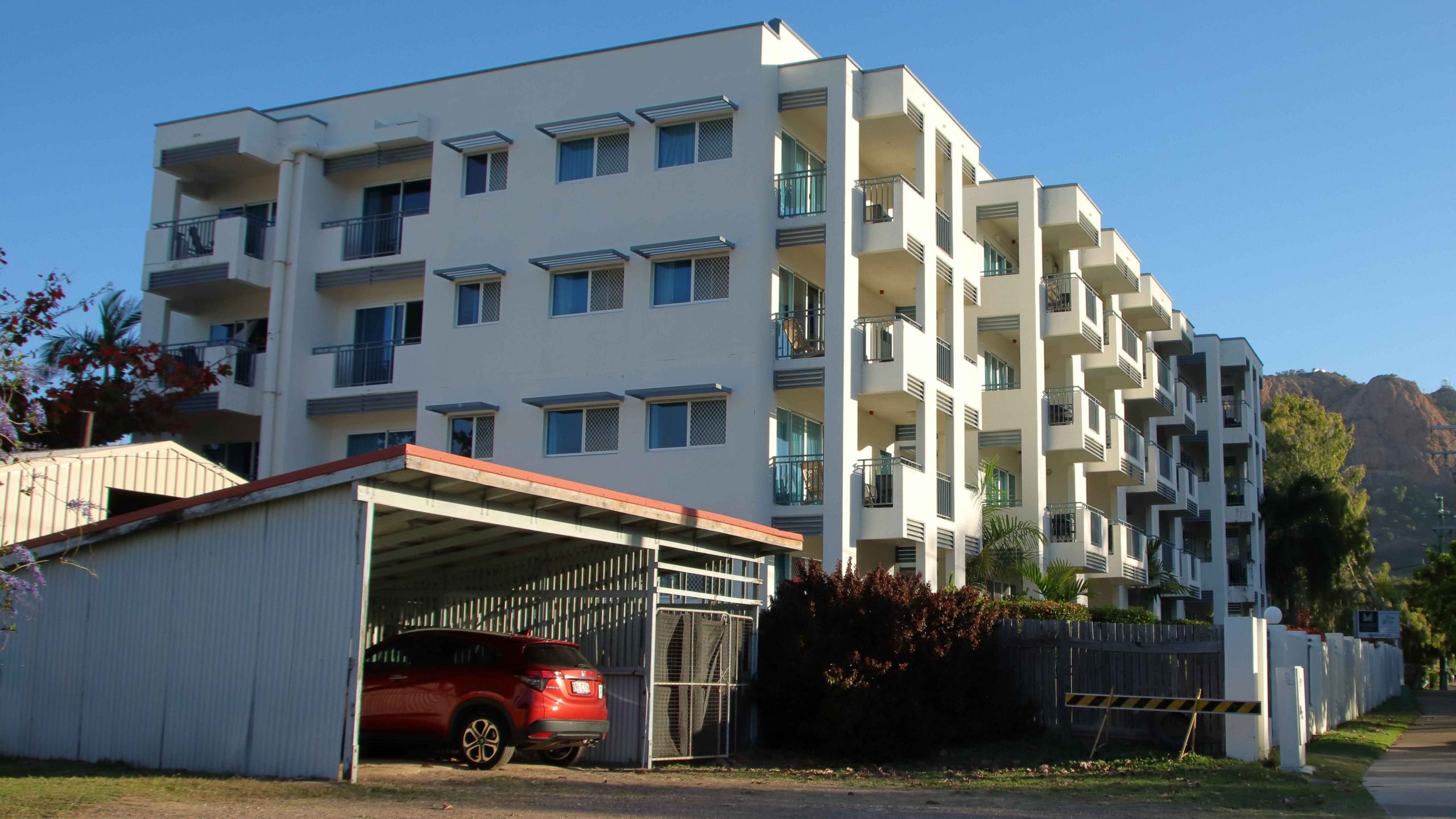
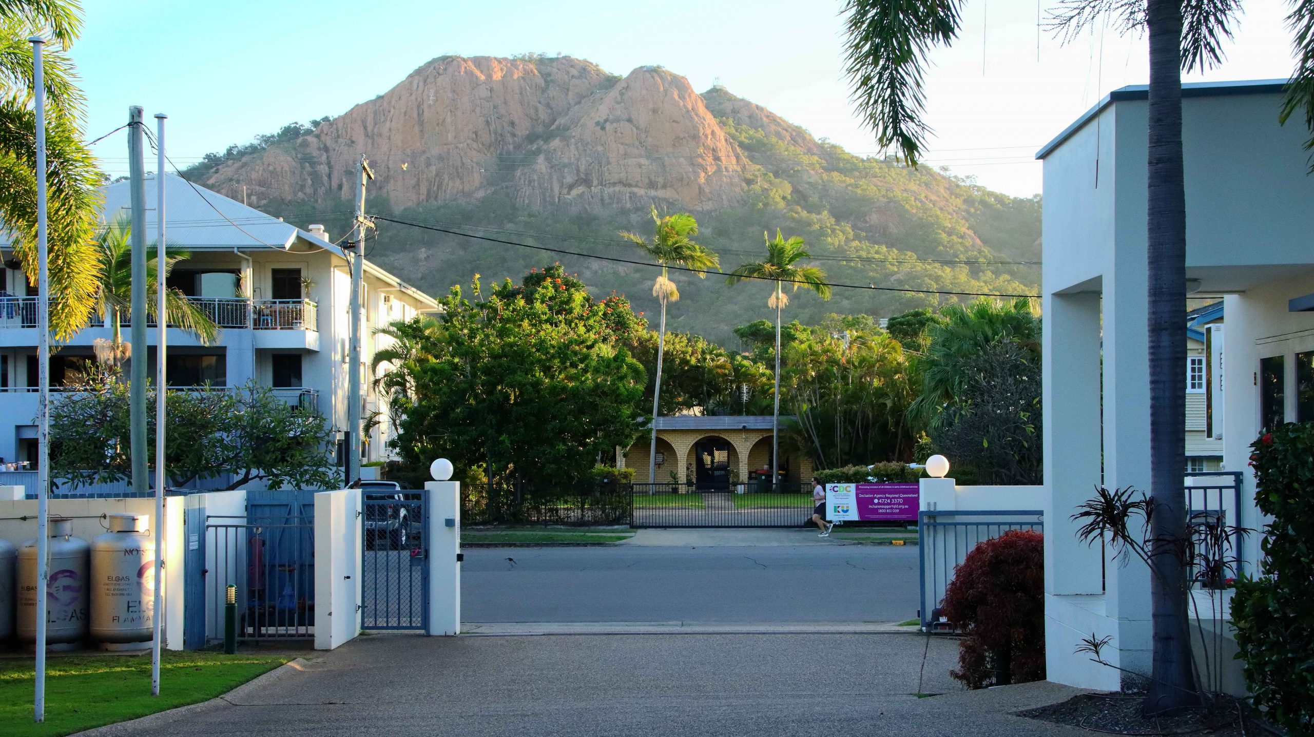
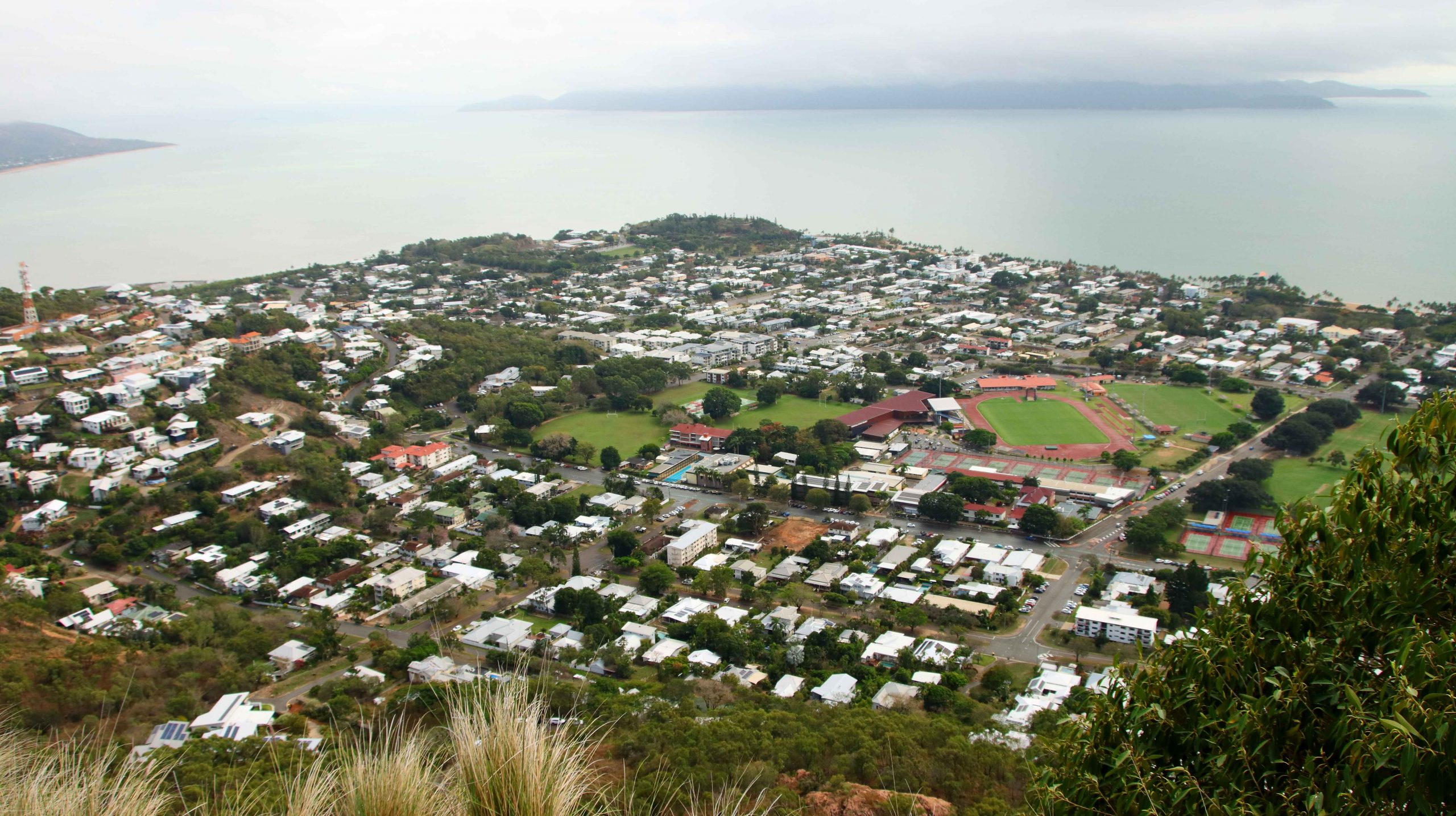
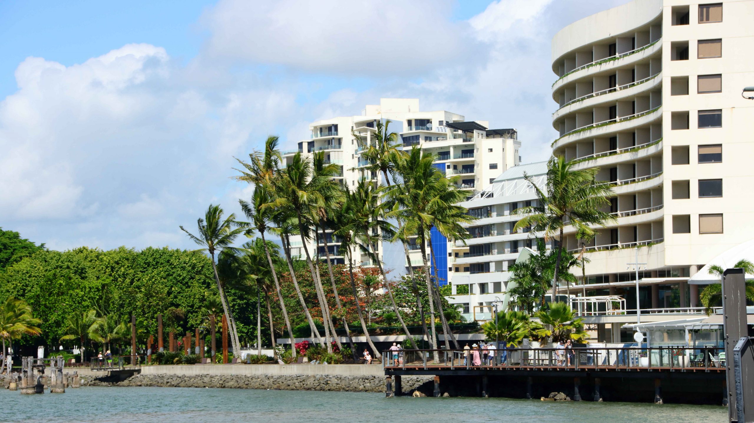
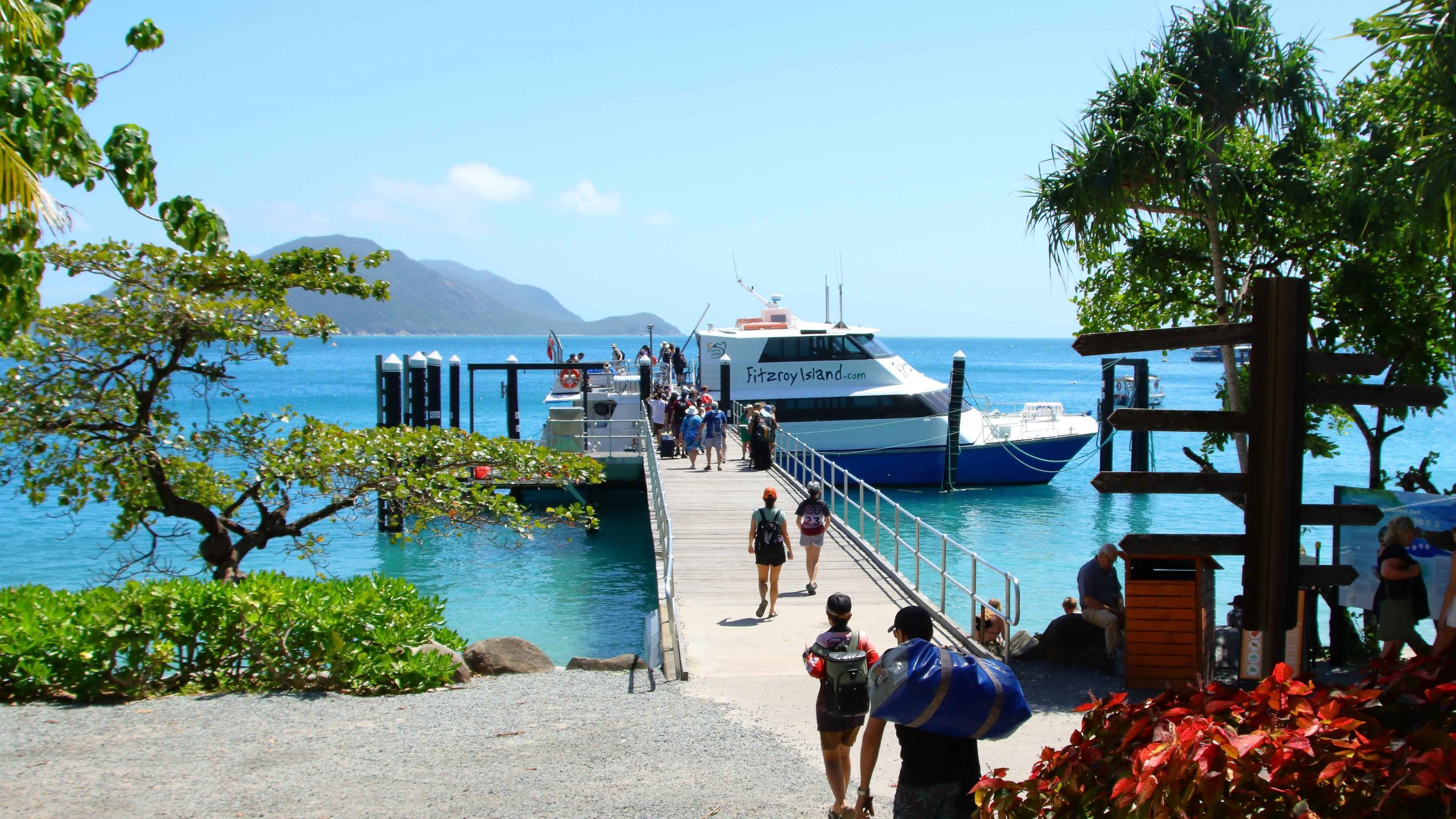
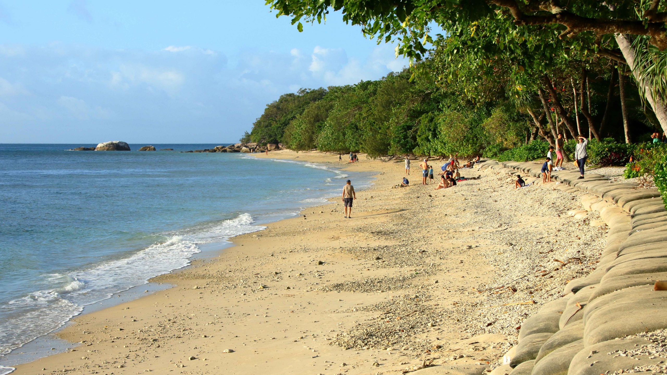
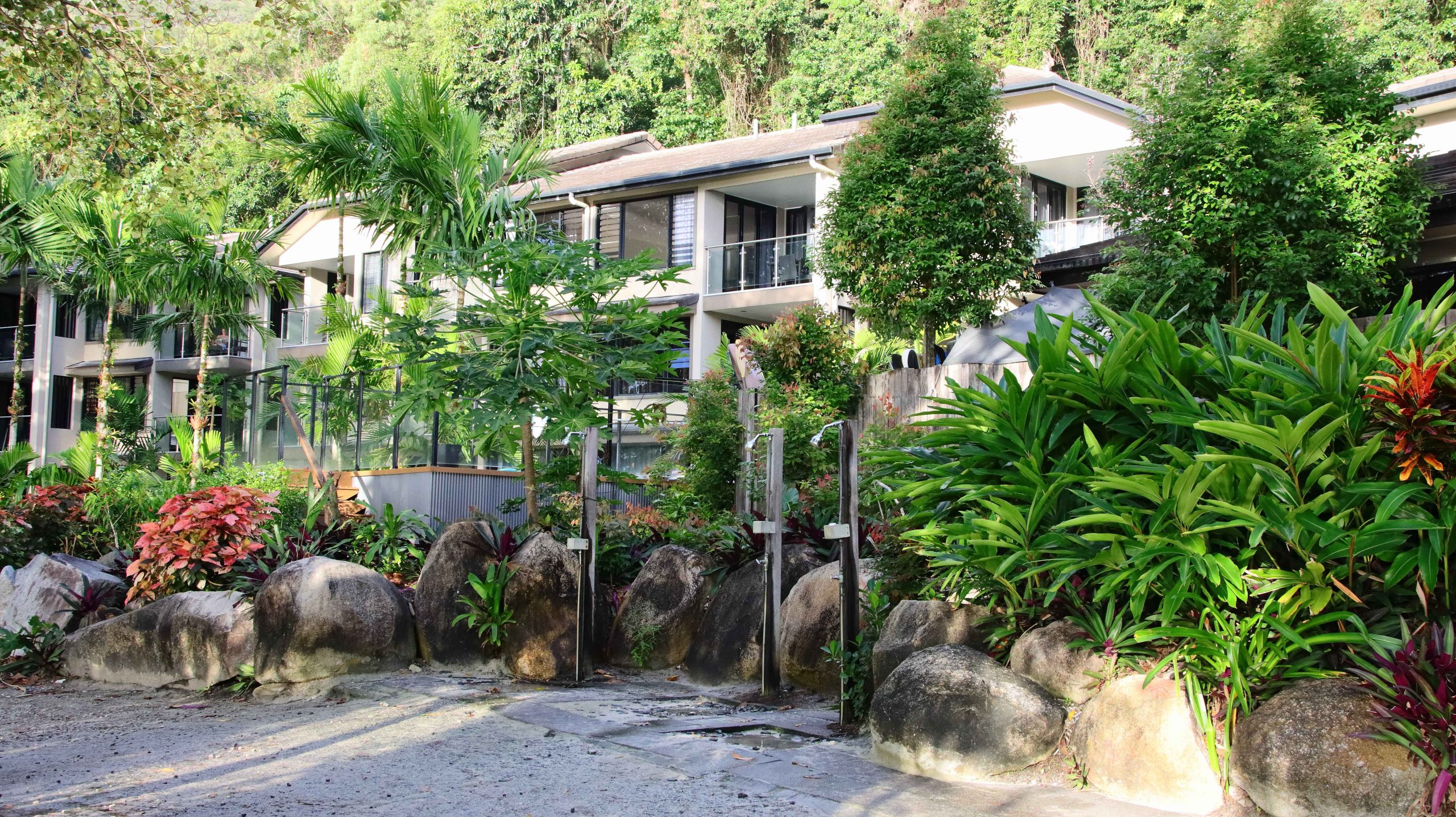
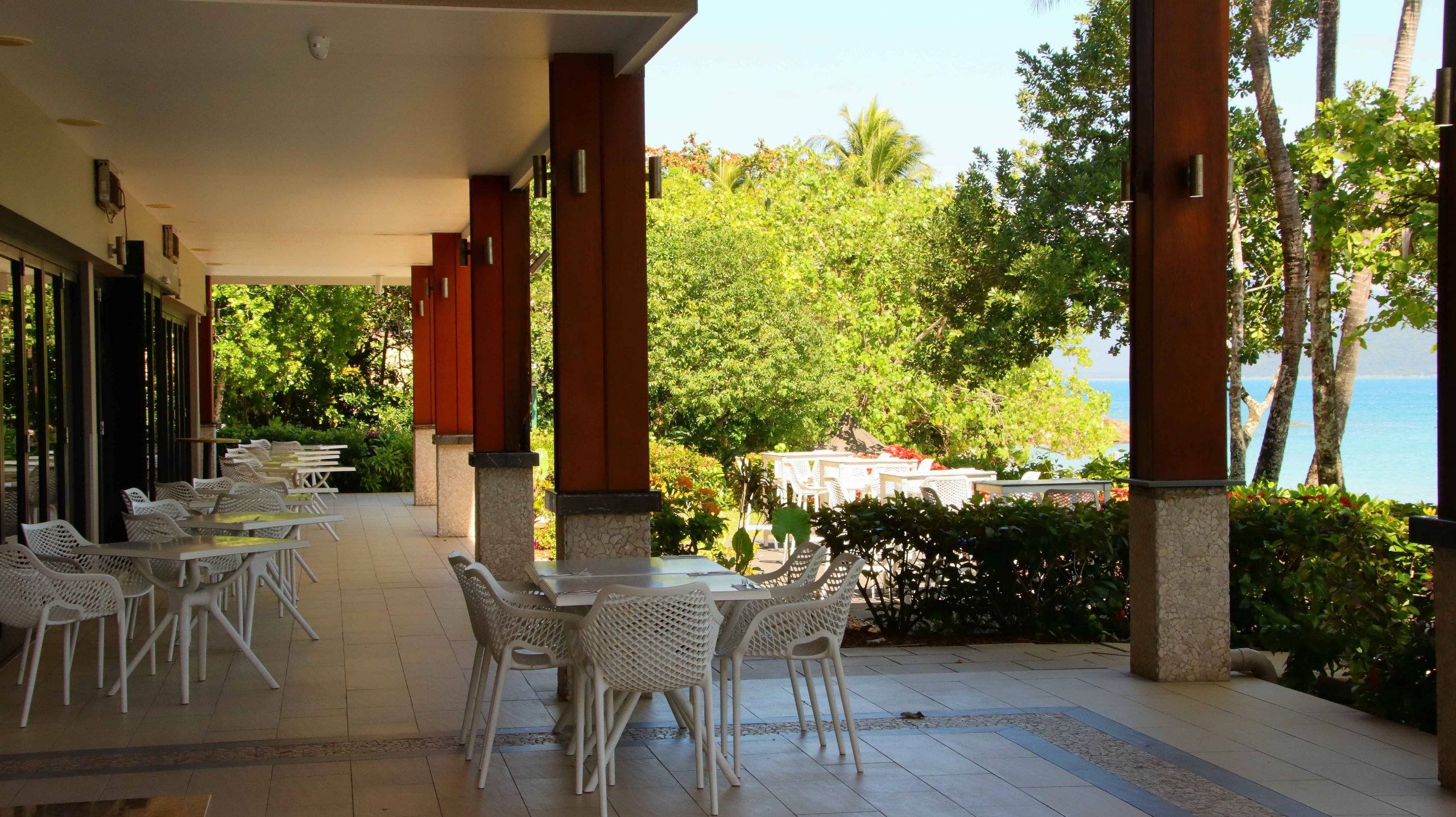
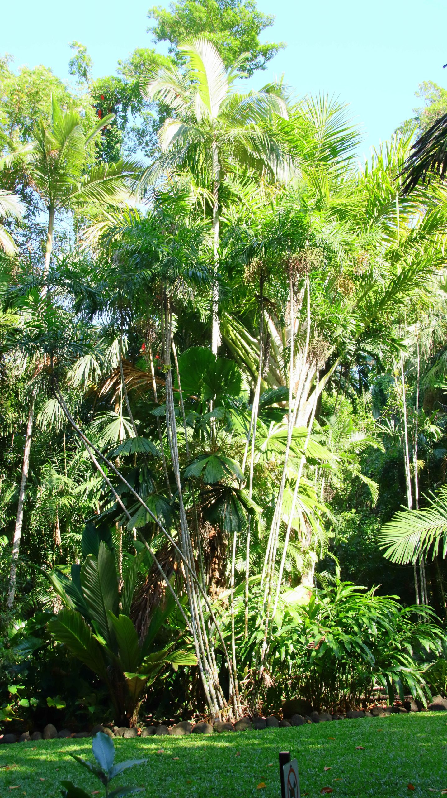
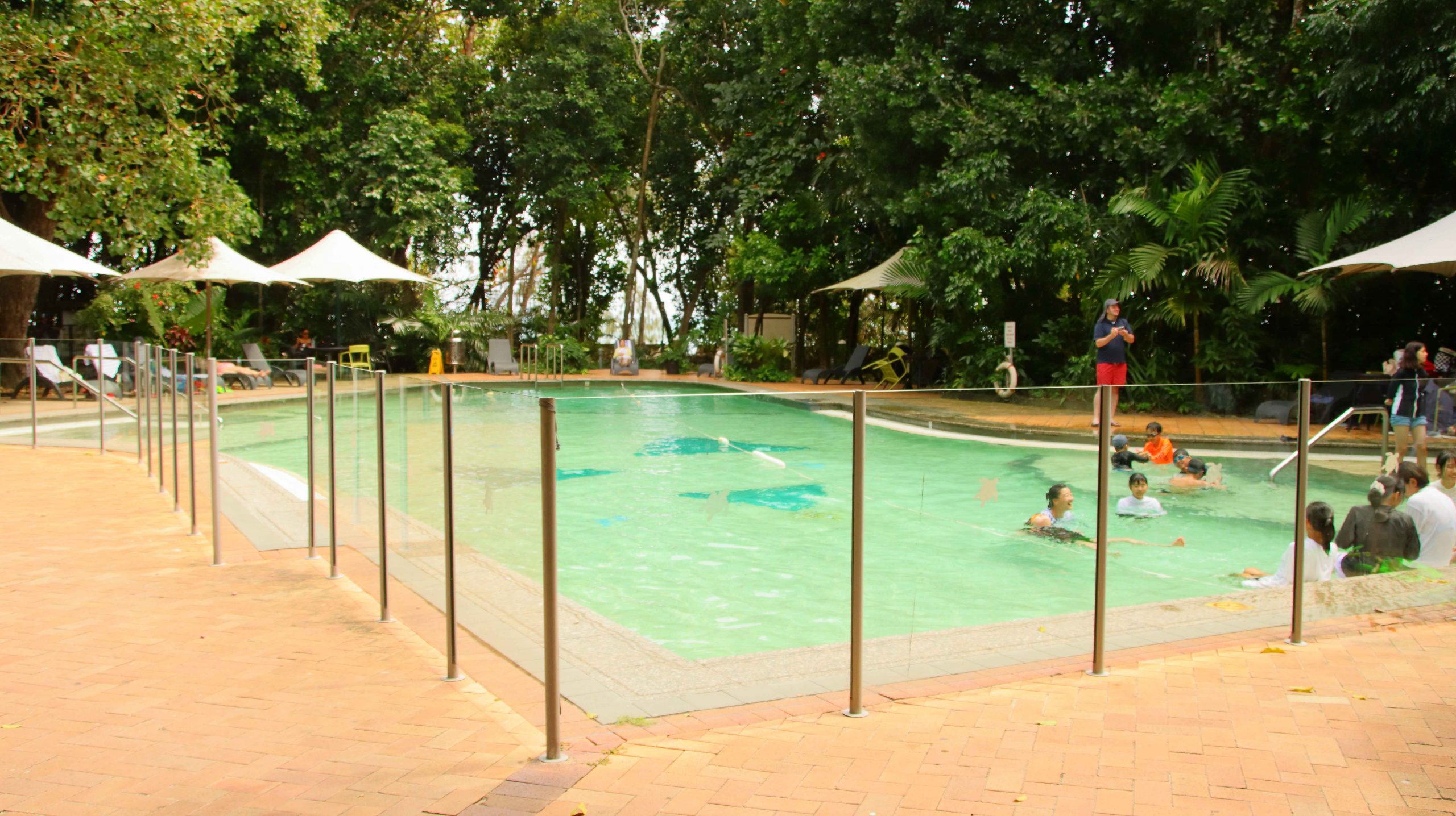
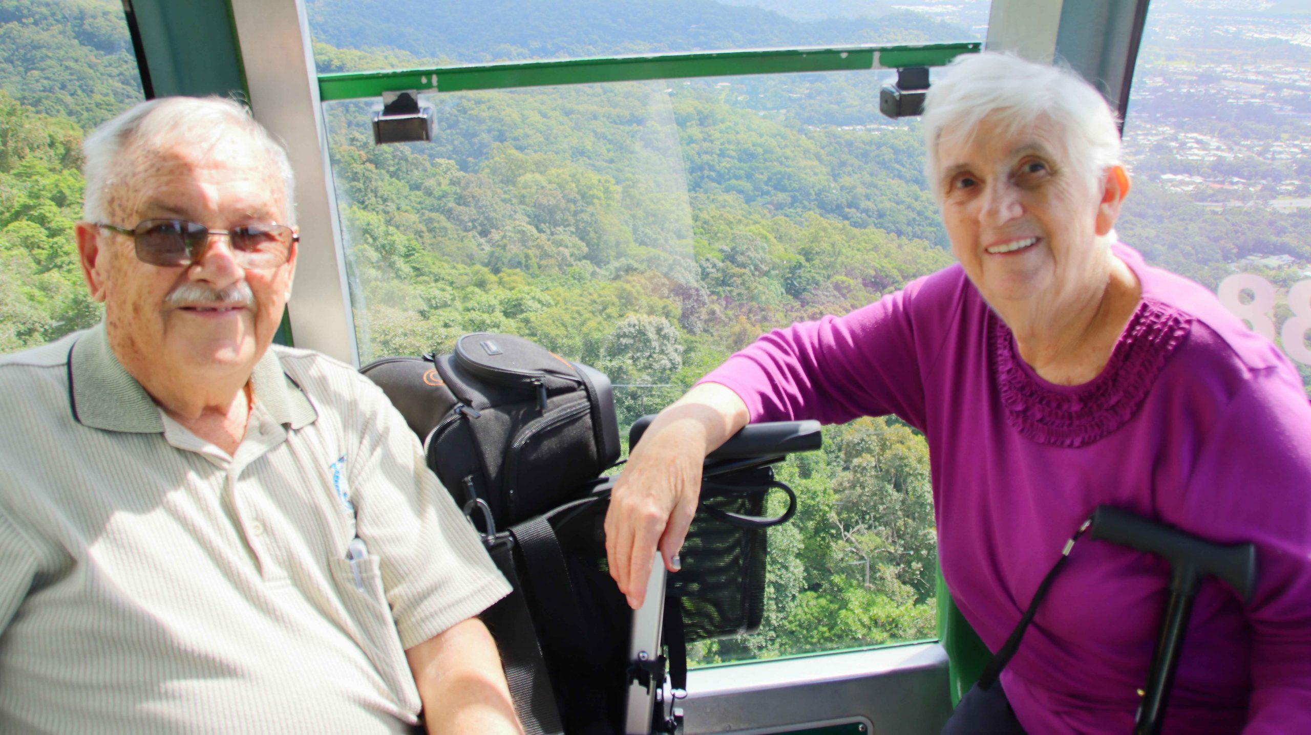
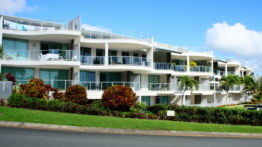
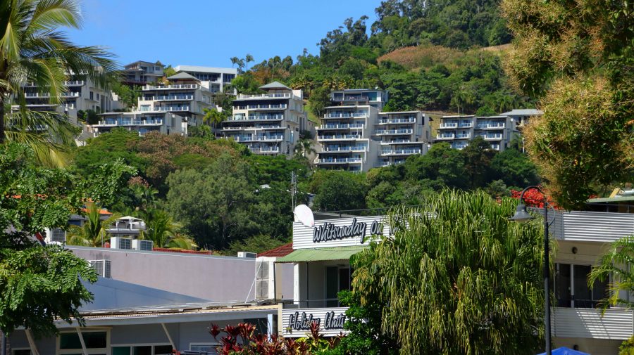
Our Airlie Beach stop was for two nights, for a bit of a break. We did not have a fixed program. We looked around at familiar sights, then returned to our unit to enjoy the view, lunch and a sleep, in that order.
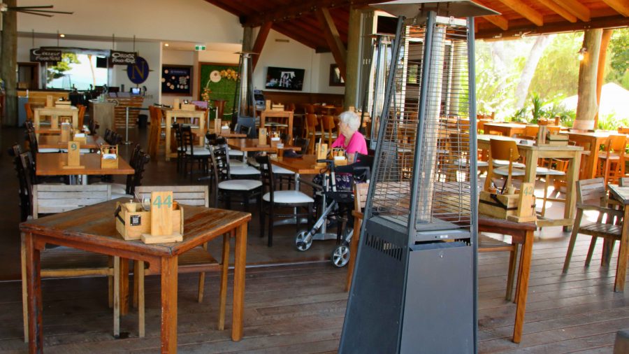
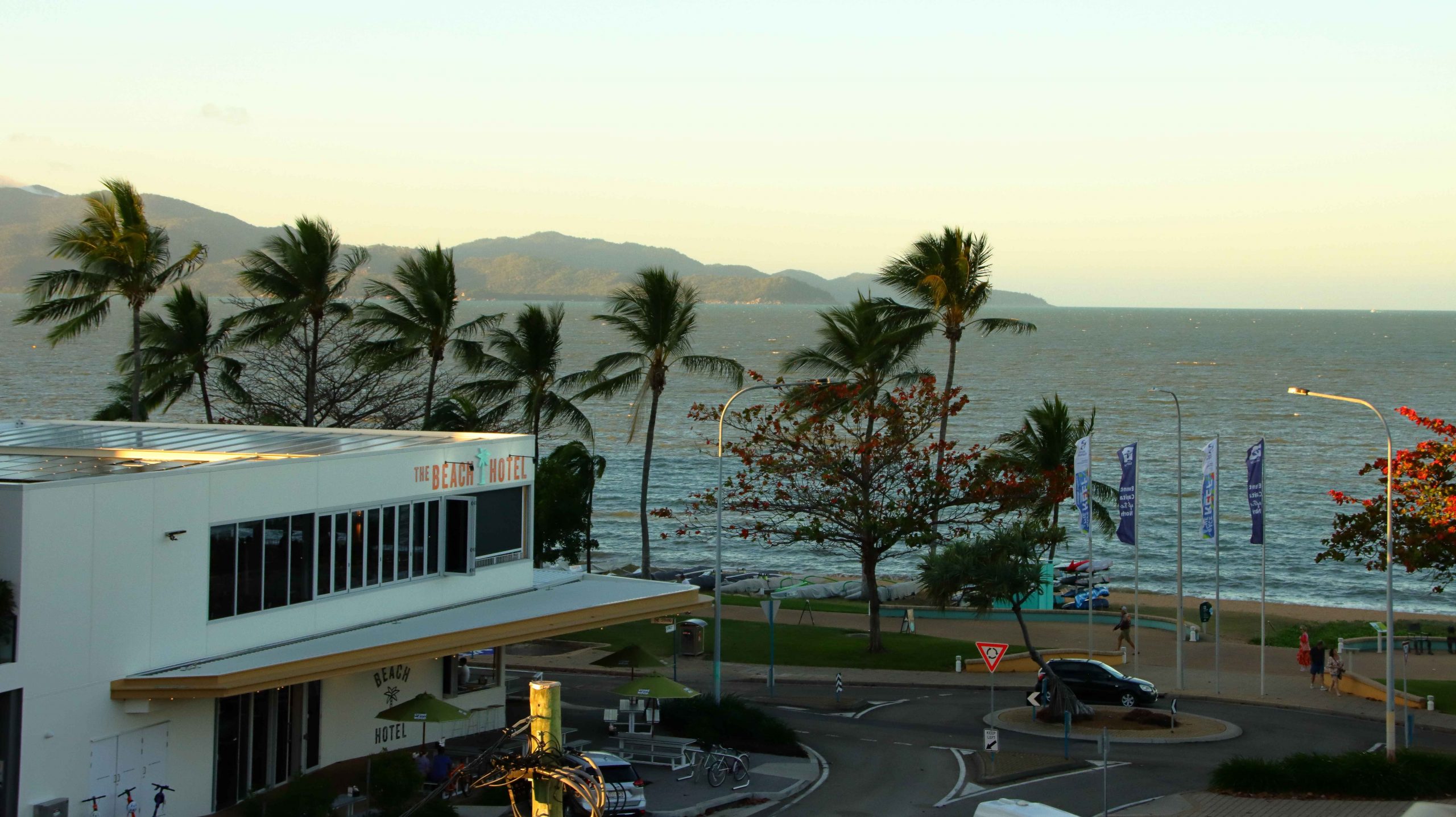
Suitably rested, we drove out through Cannonvale to Woodwark to check out Northerlies, a large pub and bistro that provides magnificent views back to Airlie Beach. Too soon to eat again, we made do with one drink and returned to our unit for another restful evening.
There had been speculation about morning fog at Cannonvale on the evening news. Airlie was clear and almost cloudless as we checked out, but heavy banks of fog blanketed most of Cannonvale but only effected the road in a couple of places.
Yeppoon, on the coast near Rockhampton, was our destination for the day. There is a good rest stop at Waverley Creek, north of Marlborough, that we have used for years. Once again, we stopped there for lunch. A fellow traveller stopped by to tell us of an explosion that had closed the highway south of Gladstone. We were not going that far on this day, so we paid little attention and continued on to Yeppoon and then Kinka Beach for the night.
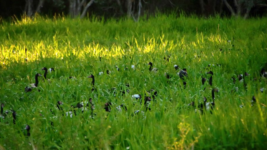
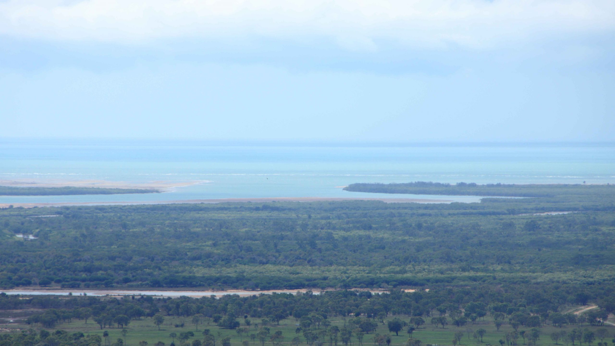
swamp at Emu Park
After booking in to our motel, we drove to nearby Emu Park for supplies. I noticed some Magpie Geese beside the road on the way in. On our return we stopped to have a closer look, The geese had taken over a large area of swamp with heads poking out of the reeds. Hundreds of them.
Later, on the evening news, we heard all about the explosion and learned that the highway would be closed for several days. The explosion had been caused by a double road train carrying a full load of Ammonium Nitrate, the explosive used in the coal mines inland from the coast. The explosive had become mixed with diesel from the prime mover and did exactly what it was designed to do. BOOM.
On Saturday morning, when we reached South Rockhampton, signs confirmed Highway closure near Bororen, south of Gladstone. A section of two-lane highway had been demolished. No traffic could pass.
We considered back roads to take us to our next accommodation at Bargara, on the coast near Bundaberg. Finally, we decided to make directly for home. Our new route led through Mount Morgan, Biloela, Monto and Mundubbera, returning to the Bruce highway at Gympie, less than 150 km from home.
Weekend traffic meant fewer large trucks. The section of the road between Dululu and Biloela was undergoing extensive repairs necessitated by recent high rainfall. We were stopped at red lights for roadwork probably between fifteen and twenty times. Despite such interruptions we were making good time. We stopped at Biloela for a refuelling break for the car and ourselves and for a late lunch break at the road junction at Ban Ban Springs, east of Gayndah.
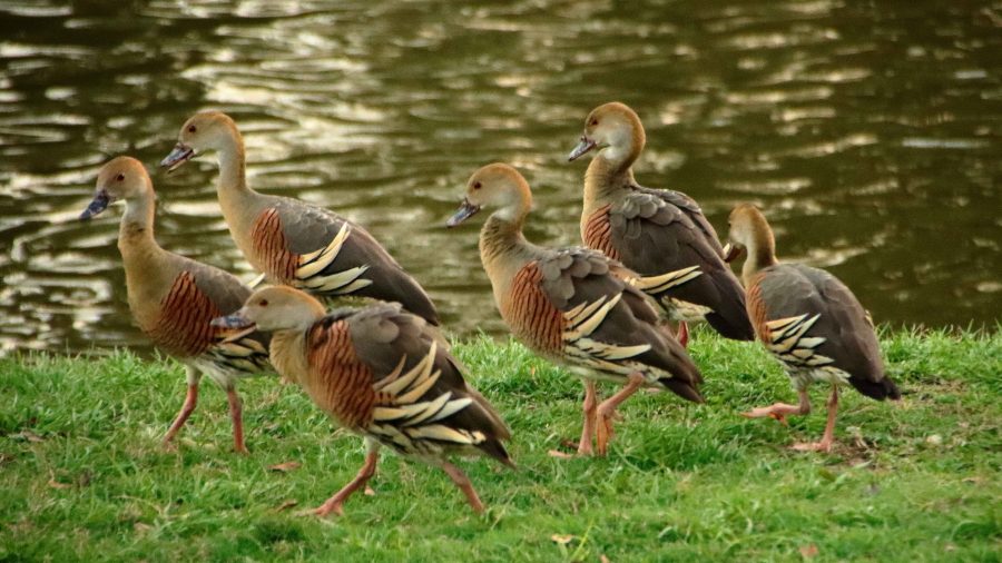
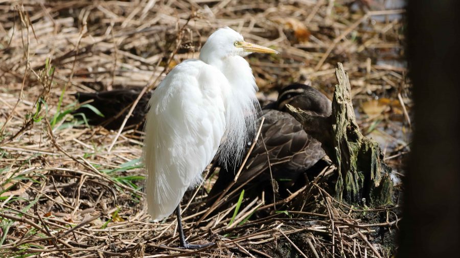
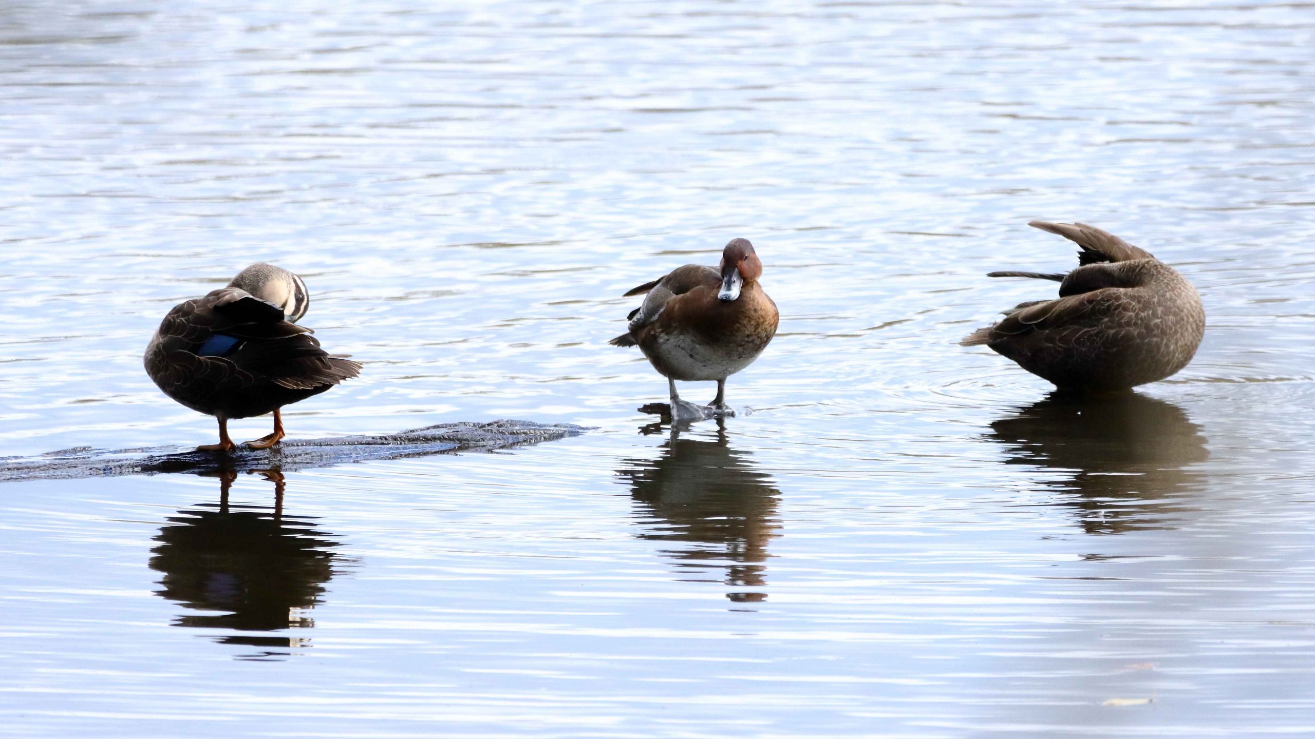
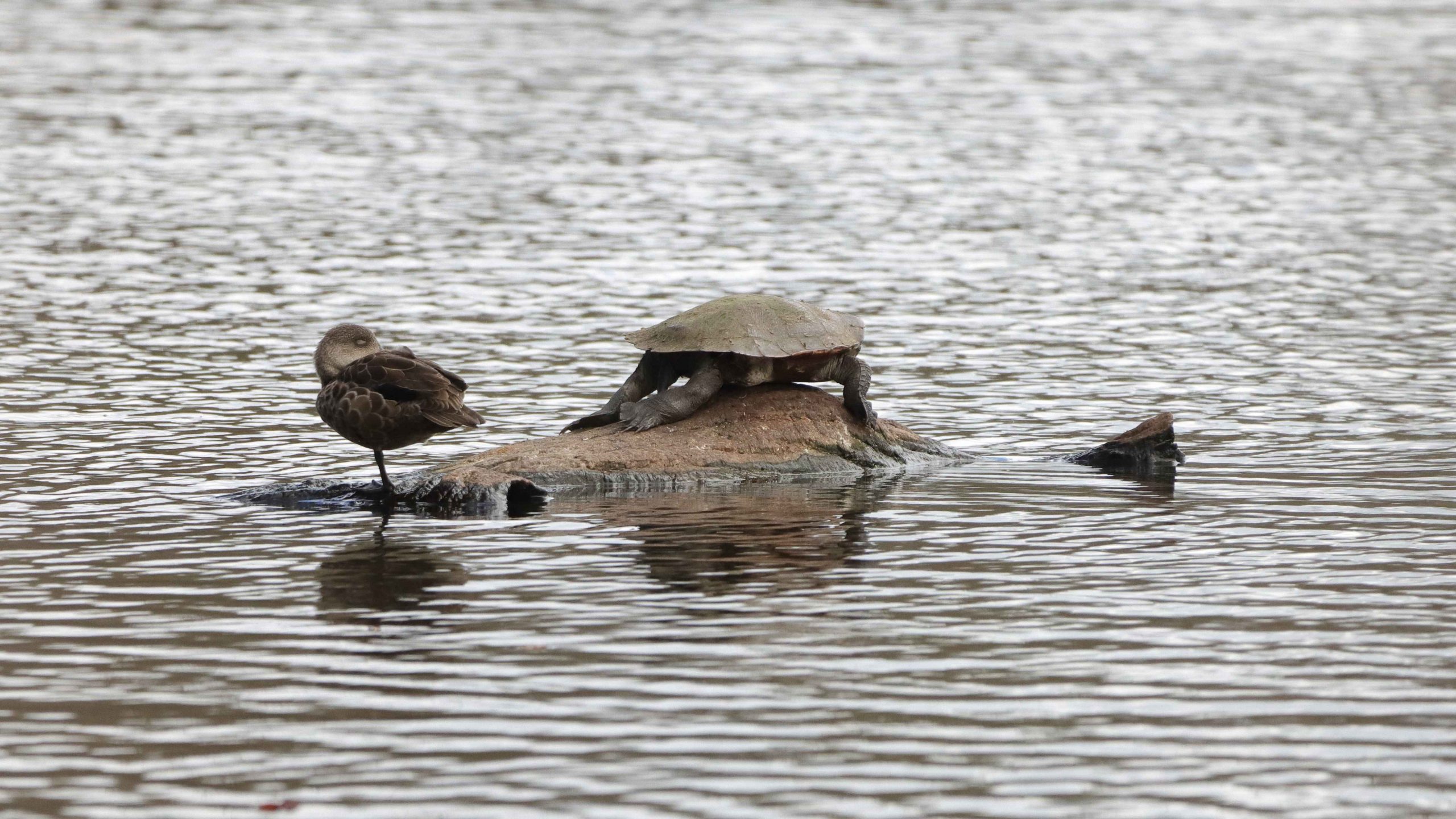
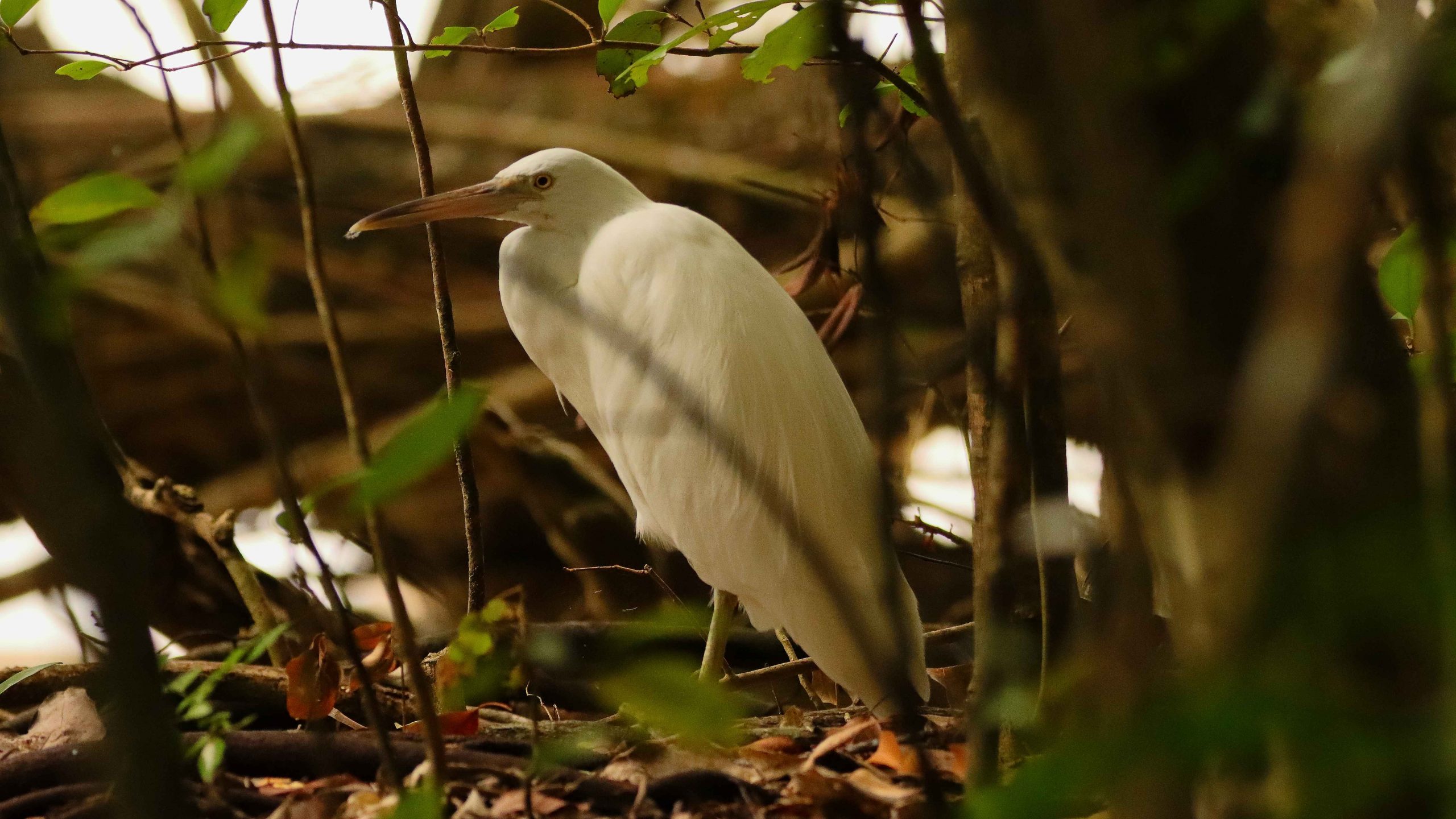
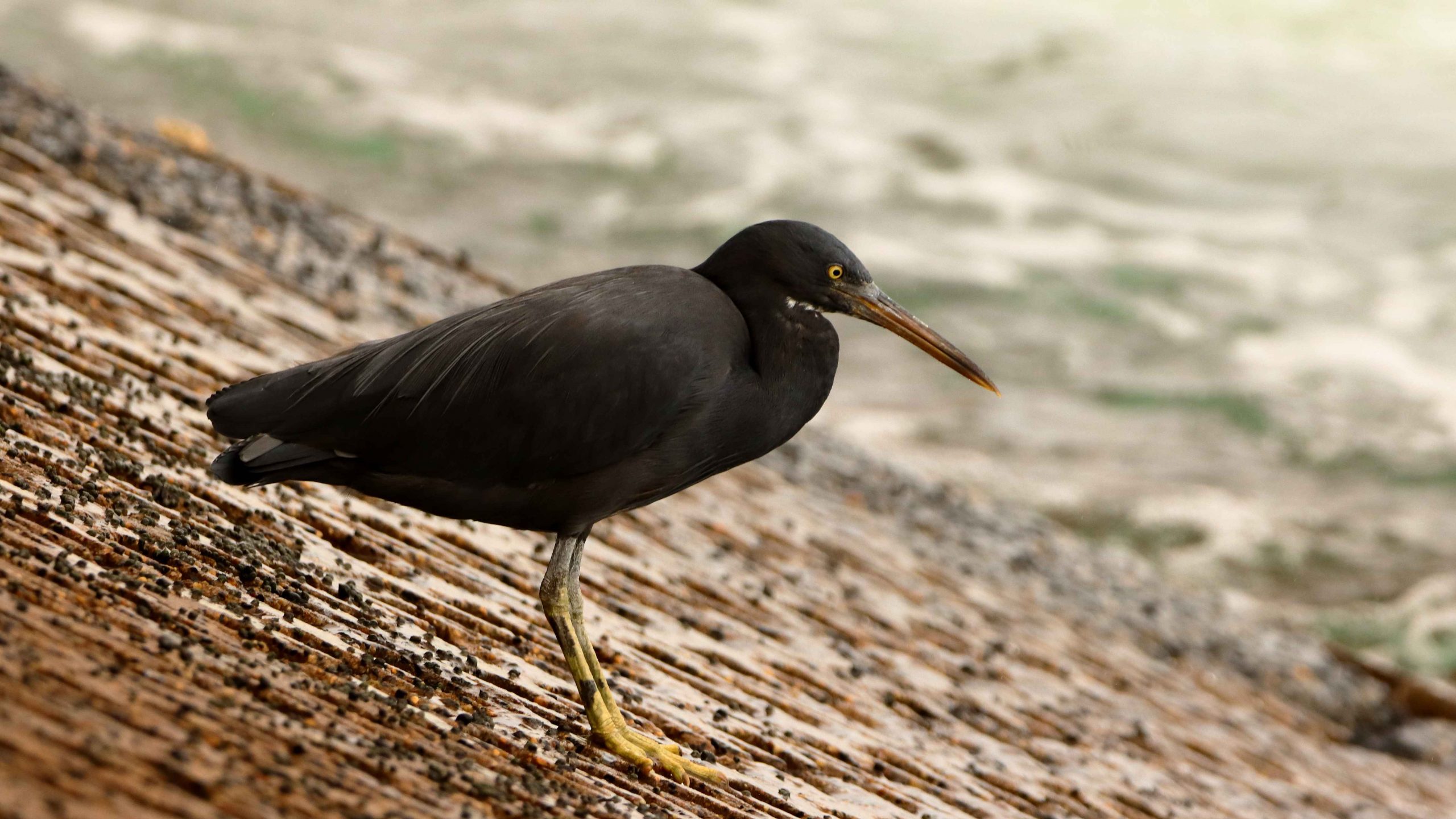
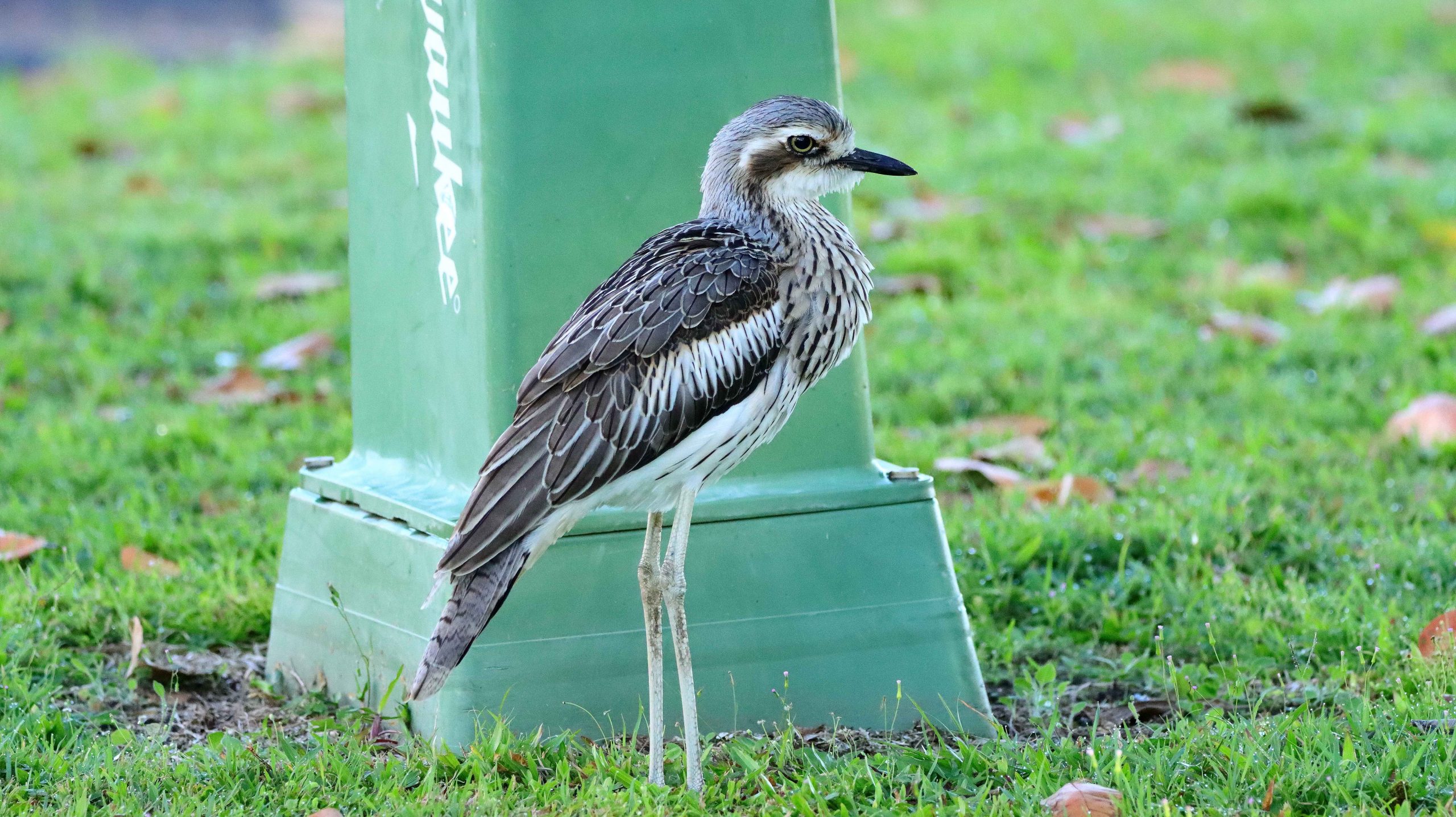
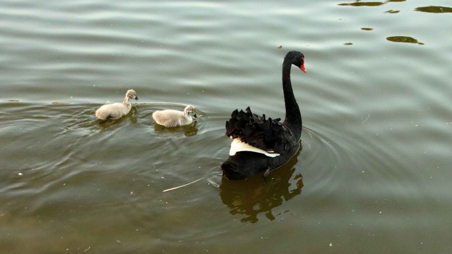
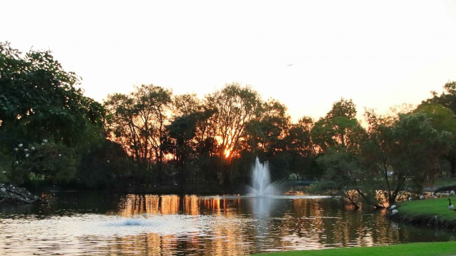
Then, at Gympie, we took a final break at Lake Alford, the rest area just south of the town. The lake is a water bird sanctuary. I fitted the birding lens to my camera and took a stroll. The sun was about to set and the birds were active as they so often are at the end of the day. The result was some good bird photos and shots of the setting sun and afterglow, for good measure.
It was an easy run from there on divided highway all the way to our turn from the highway at Burpengary.
Now in our mid-eighties and with Ruth’s mobility issues we have handled this trip quite well, we think. Well enough to have our next trip planned. Late in October we intend to go south again, to meet relatives and see more of this wonderful country in which we live.