Far North Queensland Again – 2024 – Days 1 &  2

Note: Click on pictures to enlarge.

Each year, as winter arrives in South East Queensland, I start to make comments about moving to Cairns. At least for the remainder of the Winter. But it is in jest. To do so is not practically achievable. But we can visit.

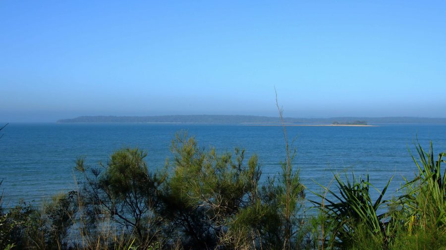
Fraser Island viewed from Matthew Flinders LOokout
Fraser Island viewed from Matthew Flinders Lookout

Since our retirement in 2009, we have tried to spend as much of Winter as possible travelling in warmer climes, even if that created the need to travel through colder areas coming from or going to the warmer parts of the country.

For the last few years, at least since we sold our caravan, we have travelled North, usually during August. By the start of August, the colder weather has usually got to me to the extent that a chance to start Spring early is very persuasive. We missed last year, as our daughter who works in India, was back in Australia, but this year we put plans in place.

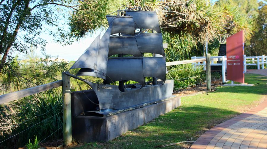
Ariadne was the first ship to bring settlers direct;y yo Hervey region

Originally the plans were to go to Cairns by train, with a sleeper berth on the Spirit of Queensland but we ultimately recognised that Ruth’s balance and mobility issues made that a poor choice. That arrangement would have had us returning home by air but we recognised that air travel out of a regional airport also had its problems. So, we decided that I would drive, but that we would take it in easy stages. We sort of did that, but necessity did dictate some variations.

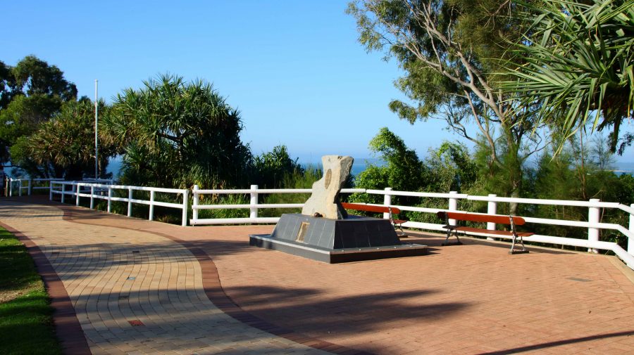
Memorial and Plaque to commemorate the landing of Lt Flinders at Hervey Bay.

We left home on 16th August with Hervey Bay our first destination. We left home after morning coffee and made Gympie by lunch time. The new bypass is not yet open, but beyond barriers we could see the new dual carriageway stretching ahead of us. We came into town for lunch and departed in the direction of Rainbow Beach until we reached the road to Maryborough, which we followed to that town and proceeded to Urangan.

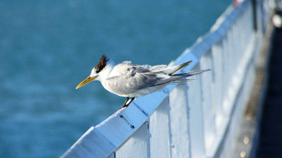
A Crested Tern in the rail of Urangan Pier.

While looking at maps before departure I had noticed the Matthew Flinders Lookout that is located between Urangan Harbor and the Urangan Pier. The lookout provided photographic opportunities, a parking space and toilets. Afterwards we moved the short distance to the base of the pier. Ruth remained in the car but I took more photos as I added to my daily step count along the famous Pier.

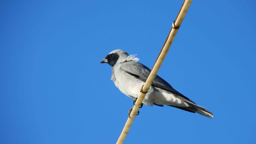
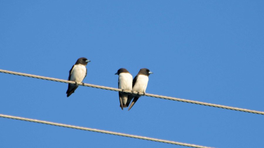
Our motel was at Pialba. After settling in I took my camera on a walk to acquire supplies for the evening. Perched on a power line just behind the motel I spied some birds, which I photographed. They were new to me and when compared to my bird identification book turned out to be a Black-face Cuckoo-shrike and a small group of White-breasted Swallow.

Black-faced Cuckoo-shrike
White-breasted Swallow
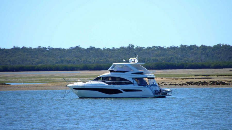
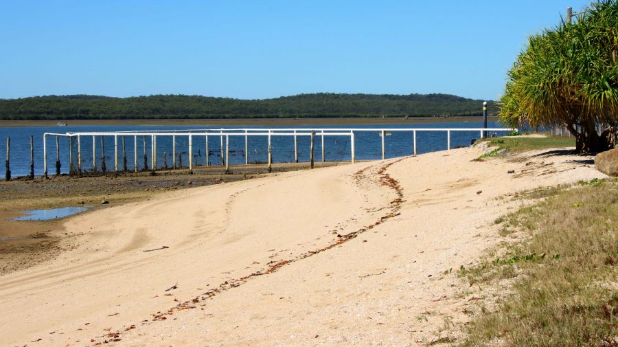
Pleasure boat at anchor at Turkey Beach

Rockhampton was our next destination. Just a little under 400 km for the day, we added about another 50 km by doing a detour to Turkey Beach, a town that most motorists just pass by. Turkey Beach is one of the few, perhaps the only, outpost of civilisation between Seventeen Seventy and Tannum Sands. It is a fishing village on one of the many inlets from the ocean that extend among the peninsulas and Mangrove swamps of the area.

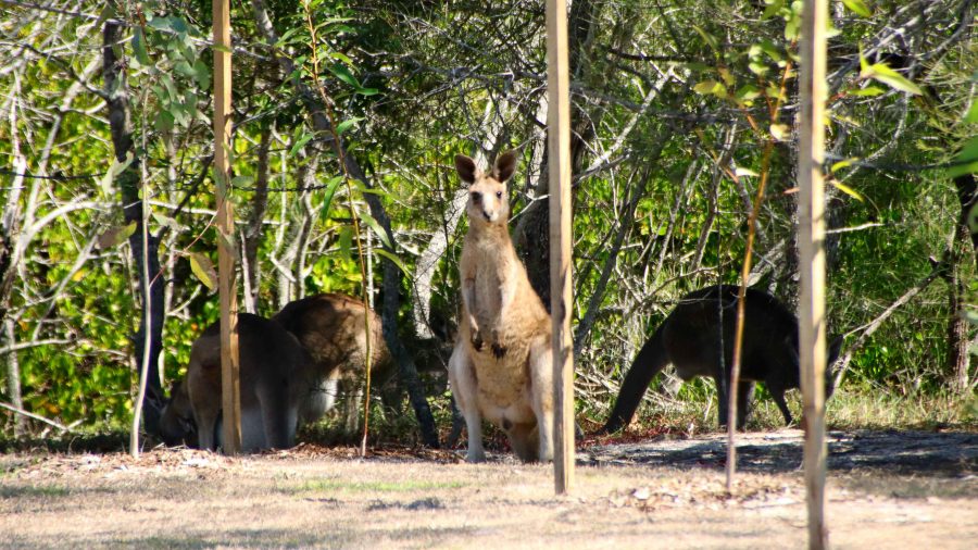
Kangaroos at Turkey Beach picnic area
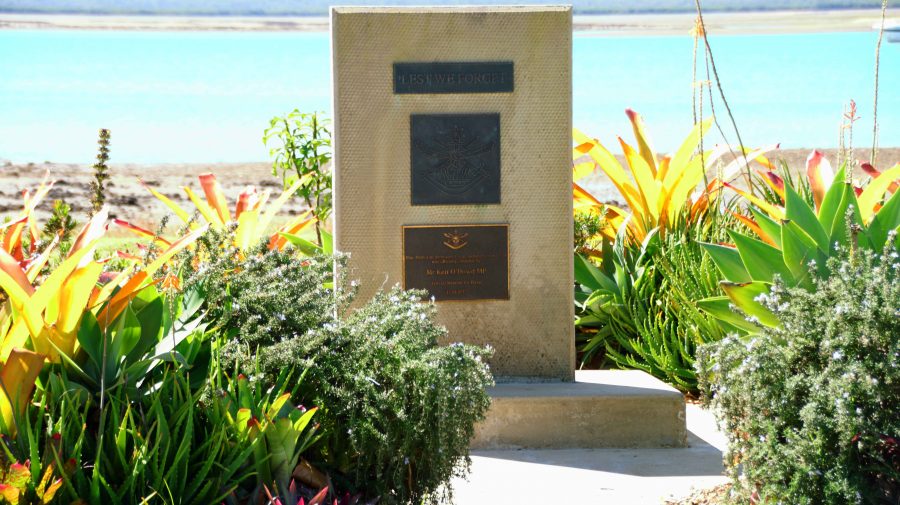
Memorial to Mr Ken O’Dowd MP former federal member for Wide Bay
Stinger free swimming enclosure
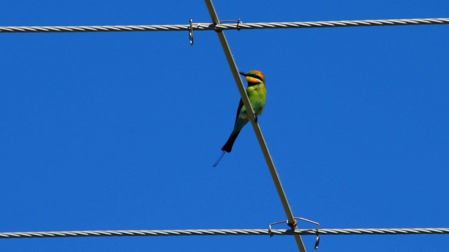
Rainbow Bee-eater on a power line

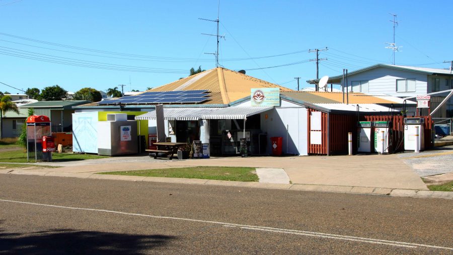
A good picnic area with amenities and a general store are its main amenities along with a launching ramp and stinger free swimming enclosure. A couple of women, enjoying the playground facilities with their children, assured us that it was a magic place to live.

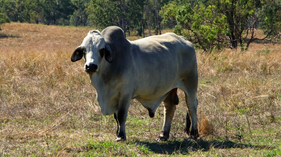
A short drive, during which we stopped to examine a couple of American Brahmin bulls, brought is to the regional city of Rockhampton, situated as it is beside the broad waters of the Fitzroy River, with its many moored boats and hidden crocodiles.

Turkey Creek general store
Now, that is a lot of Bull

Playing in the Sand – Fraser Island Part 3


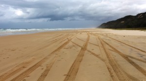
We just love driving on a wide flat beach

We just love driving on a wide flat beach

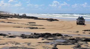
Coffee rock at Poyungan Rocks between Eurong and Happy Valley

Coffee rock at Poyungan Rocks between Eurong and Happy Valley

We retraced our track down the beach for about 36 km to Eurong and then inland to Central Station and Lake McKenzie. This was our first trip on inland tracks, so it called for some different driving techniques to those required on the beach. Speed limits on the beach are generally 80 kph with 40 kph near popular and residential areas, but on inland tracks the limit is 30 kph so speeds are mostly less than 20 kph average.

Eurong Village is quite near to the beach

Eurong Village is quite near to the beach


We headed south, past a small crowd at The Pinnacles, past a larger crowd at the SS Maheno wreck and past an even larger crowd at Eli Creek. We were again forced onto the bypass track at Yidney Rocks where the waves were lapping at the coffee rock, making it impossible to drive by on the beach. Coffee rock is embedded in the sand and can be

Eurong Beach Resort

Eurong Beach Resort

more or less exposed after a single tide. It frequently runs all the way back to the foot of the sand dunes.

There is not much to see at Eurong. The resort dominates the commercial area and is complimented by some shops. The town has a bakery, police station and fire station.  Most of the residential area is hidden in the

The main shop at Eurong

The main shop at Eurong

trees. Queensland National Parks main office for Fraser Island is also located there.

Most tracks in the area where we travelled were one way. Lake McKenzie is probably the most popular feature on Fraser, with Central Station not far behind, so the area attracts a great deal of traffic including tourist buses and tag-along groups. The tracks are narrow and winding so to meet a large bus on a blind corner can be rather frightening. The tracks are sand so become badly damaged, particularly in dry weather. A good deluge of rain washes sand into the deep holes thus improving the track. At the moment an average of 20 kph is the best that you could hope for and for much of the journey it was less.

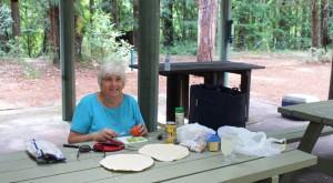
Ruth preparing lunch at Central Station

Ruth preparing lunch at Central Station

Central Station was the headquarters of the logging operation that werenpersued from the late 1800s to about 1950. Some historical artifacts are on display, including a logger’s cottage and a shed containing the artifacts, the walls of which are covered with pictures and text setting out the history of the early days, including Indigenous history.

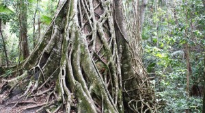
A Strangler fig at Central Station

A Strangler fig at Central Station

There are extensive picnic facilities with tables aplenty, both exposed and sheltered. This is a favorite lunch stop for the tourist buses.

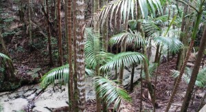
Palms line the creek

Palms line the creek


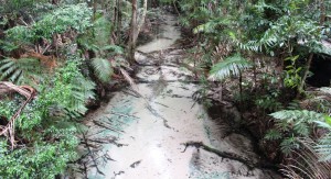
And then there is Wanggoolba Creek. Central Station was built on its banks, probably for the water supply. It’s almost clear water runs slowly over a bed of pure white sand that is tinged in places with the green of the mineral content in the sand, hence the sand mining in times past. Ancient green palms grow in its waters and its banks are lined with tall straight

The creek photographed from the boardwalk

The creek photographed from the boardwalk

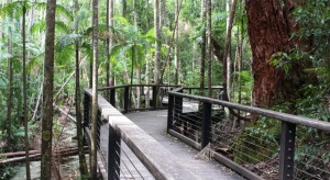
trunks of trees reaching for the sun and the natural debris that nature produces in this kind of environment. All this can conveniently be viewed from a board walk that is part of a loop track that starts and finishes at Central Station.


A section of the boardwalk beside the stream

A section of the boardwalk beside the stream


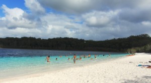
Bathers at Lake McKenzie

Bathers at Lake McKenzie

It is a further 11 kilometres to Lake McKenzie. In busy periods the large car park there is often filled before lunch time as visitors seek out this unique spot. Dingo management has lead to the banning of food lake side, but a large fenced picnic area has been provided. Visitors love the clarity of the water and somehow the pure white sand that surrounds the lake seems to invite sunbathing.

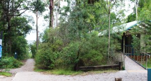
Amenities and lake access at Lake McKenzie

Amenities and lake access at Lake McKenzie

By the time we had spent a few minutes at the lake, the day was advancing. One thing that you can never forget, if the trip that you are doing requires much beach travel, is the state of the tide. Our target was to be home by 4.00 pm and the distance back to the beach at Eurong from Lake McKenzie is about 18 kilometres, probably at about 15 kph for a fair part of the way. We made it to Eurong at a few minutes after 3.00 pm. We refueled here, as 91 octane petrol was $1.85 per litre instead of $2.20 per litre at Cathedrals.

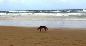
A genuine Fraser Island dingo

A genuine Fraser Island dingo

The 39 km run back along the beach took about 45 minutes but was interrupted early when, soon after leaving Eurong, we spotted a dingo trotting along the beach, near the edge of the water. We were able to drive up quite close to the animal. We were totally ignored.

We parked Cathedrals on Fraser at just after 4.00 pm but we would have been OK travelling on the beach for another hour.  High tide was at about 7.30 pm.


Five Days Playing in the Sand – Fraser Island 3 [youtube]https://www.youtube.com/watch?v=0Q6Ifg9D_Jo[/youtube]

Playing in the Sand – Fraser Island Part 1

It was an adventure just getting there!

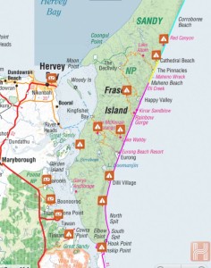
Our track along Fraser Island. Note the tracking line along the coast

Our track along Fraser Island. Note the tracking line along the coast

We woke before the alarm’s set time. Five am! Too early, but when the timetable depends on tides then it is smart to know who is boss. And it wasn’t us. “Time and tide wait for no man”, Geoffrey Chaucer once wrote.

But the early start allowed us to drive out of our gate by about 6.30 am. After a stop for fuel and a call at the ATM we were on the sparsely populated north bound lanes of the Bruce Highway, a little before 7.00 am. The south bound lanes were another story, but someone else’s story.

The vehicular ferry to the south end of Fraser leaves from Inskip Point, about 10 km north of Rainbow Beach. That’s about 225 km north of home. We arrived at Rainbow Beach at about 9.30 am, treated ourselves to coffee, topped up the fuel, bought a ferry ticket, went through the car wash booth for a protective spray to be applied under the car and headed for the ferry departure point for that all important deflation of tyres for sand driving.

The only just fitted us on

The only just fitted us on

I had a great plan to video the ferry before we boarded, but as we approached it appeared to be fully load. But as we were about to stop the attendant waved us forward into the last remaining space.  No sooner were we on board than the ramp was up behind us and the ferry was under way. The crossing only takes about 10 minutes ($6.00 per minute), and we were deposited onto the island. We paused to take the missed photos and by the time we were under way again all of our fellow passengers were out of sight.

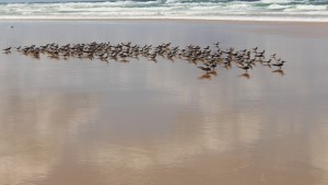
Resting migratory birds near the edge of the ocean

Resting migratory birds near the edge of the ocean

If you are last off the ferry there is no one coming up behind you for a while so, all alone, we set off on the 80 kilometre drive along the beach. The beach first runs easy west but soon turns in a of north of north east direction. The beach is a series of small sandy bays but the dunes to your leafy stretch straight ahead as far as you can see. We did meet the occasional vehicle heading back towards the ferry.

There was a fair amount of cloud around, with the sun shining through most of the time and the sea that steely blue that often comes with those conditions. The sand was quite firm most of the time, except for when we were directed further up the beach at the places reserved for small passenger aircraft operation. The aircraft get the smooth flat parts and the motor

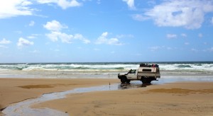
A fellow beach driver crossing a small fresh water stream

A fellow beach driver crossing a small fresh water stream

vehicle traffic is directed into the loose sand. But it was not too bad. Just a bit of slalom style driving for a few hundred metres as the tracks in the sand try to determine your direction.

Apart from aircraft and soft sand, the greatest hazard on Fraser is the frequent water courses that run across the beach into the sea. Rainfall is temporarily retained in the sand of the dunes but much of it makes its way to the edge of the beach and then through eroded sand banks to the sea. The sand embankments are most prominent and easy to see near the base of the dunes. From there they decline, depending on the height of the tides. So keeping one’s eyes open is mandatory.  Crossing where the banks are too high can be quite disastrous.

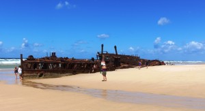
The bones of SS Maheno lie broken in the sand

The bones of SS Maheno lie broken in the sand

But there are other traps. I was driving with my window open, savoring the fresh sea air. We crossed at the seaward end of a stream. It was a bit deeper than I thought and I drove through just a tad too quickly.  The spray from the front wheel was caught by a rather brisk south easterly which blew it through the window all over me. Some of the spray even found its way onto Ruth. You may wonder if the water remains fresh right to the edge of the ocean.  It does.

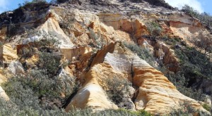
Part of The Pinnacles just south of Cathedrals on Fraser

Part of The Pinnacles just south of Cathedrals on Fraser. One of the charms of this drive is the coloured sands

As we came north, we passed in order, Dilli Village, once the base of Dillingham Mining during sand mining days, now an education facility operated by the University of Southern Queensland;  Eurong, the largest settlement on the island, with its resort and residential areas; Happy Valley, probably the second largest community on the island, with a general store, bistro and residential area; Eli Creek, the largest of all the beach streams; the remains of the SS Maheno passenger liner, resident on Fraser since the mid 1930s; and finally, Cathedrals on Fraser, our home for the next four nights.

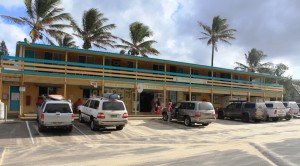
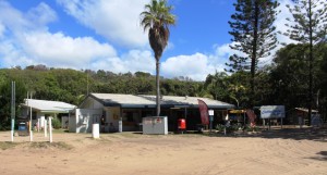
The shop and reception at Cathedrals

The shop and reception at Cathedrals

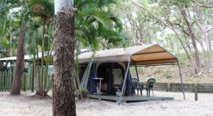
We are accommodated in a permanent tent that boasts a double bed, a towel rack and two plastic chairs as the total compliment of its furnishings. Our possessions are in bags arranged along the walls. We prepare and eat our meals in a camp kitchen that has plenty of refrigeration and freezer capacity but this is supplemented by the Waeco 12 volt fridge in the back if the car.

Our home for four nights

Our home for four nights

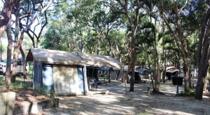
In our immediate area, besides us, there are four family tents which between them contain eight adults and about 10 kids, most of who are between the ages of four and ten. So until their bed time there is not much peace and quiet. Their biggest impact however, is in the camp kitchen at meal preparation time. It is hard to get a look in when half a dozen adults are preparing food for a group of almost twenty. Washing up is a similar story.

Our small canvas community

Our small canvas community

I had forgotten that, in warm weather, when sleeping in a tent, a balance has to be struck between privacy and comfort. The only method of cooling is the breeze. Fortunately, on this coast, the sea breezes are reliable, so we spent the night largely on display through the insect screens, but no one was watching. We were awoken next morning by the early light. The aspect of the camp  and our tent, was towards the east.