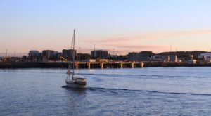
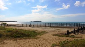
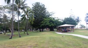
Far North Queensland – 2024 – Days 13 to 15 – Atherton to Airlie Beach

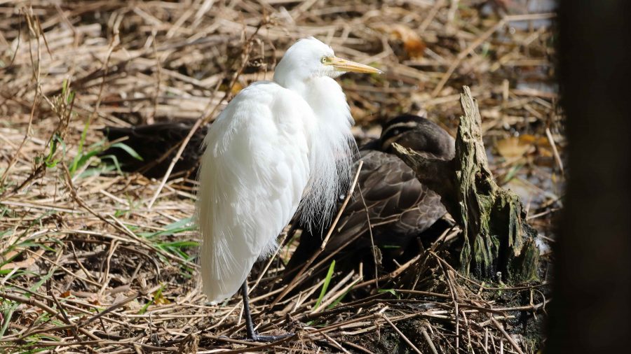
Intermediate Egret in Breeding Plumage

Our original plan for our return had been a short drive to Atherton and then to return to Redcliffe via the inland route, through Charters Towers, Emerald, Roma and then home. But forecasts were predicting that burst of warmer weather towards the end of August. When we realised that the day we were to arrive in Roma the temperature was predicted to be 37C we recast our plans. We had come north looking for warmth, not heat.

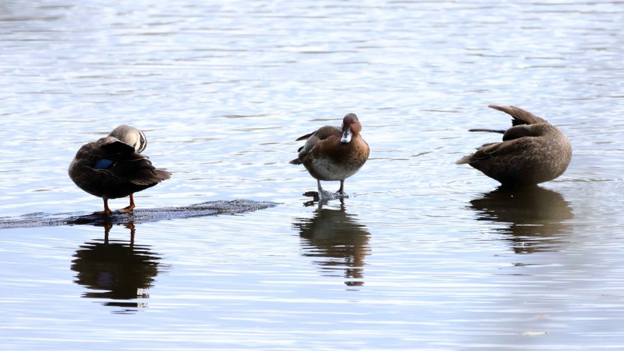
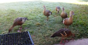
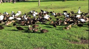
All the ducks in a row. Pacific Black Ducks in this case

We were not able to cancel our Atherton motel booking so left it in place. It is not that much further to go south from Cairns via the Palmerston Highway to Innisfail, so that is what we did. Our new plans included a night at Townsville, two at Airlie Beach and then one each at Yeppoon and Bargara.

From our brunch break at Smithfield, we drove directly to Mareeba, stopping only at road works. That meant several stops. Our one stop in Mareeba was at Coffee Works where we enjoyed an ice-cream and acquired a bottle of their own locally made chocolate liquor. It is among our daughter-in-law’s favourite tipples, so makes a good present. This time for her birthday.

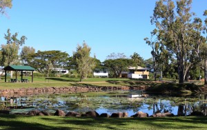
Before going to our Atherton accommodation, we drove to the south of the town, to Hastie’s Lagoon, a water bird sanctuary. The area around the lagoon is really a national park. It boasts an impressive two-level bird hide. But Atherton birds are every bit as smart as birds in other places and were mostly sitting or floating just beyond the the extreme range of my longest lens.

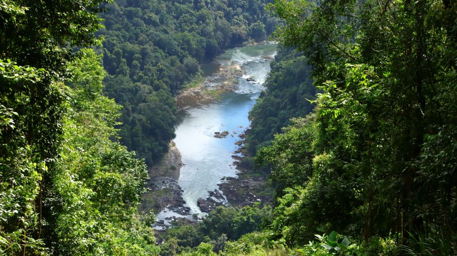
North Johnson River below where it emerges from the mountains

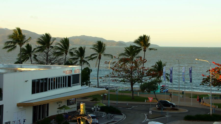
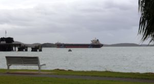
Next day, Tuesday, we had an uneventful trip to Townsville with breaks to view the one place where the North Johnson River Innisfail, coffee at North Innisfail and the Hinchinbrook lookout. We stopped for lunch at Ingham before heading to our Townsville accommodation, one block back from The Strand. We had views of The Strand area and out to Magnetic Island.

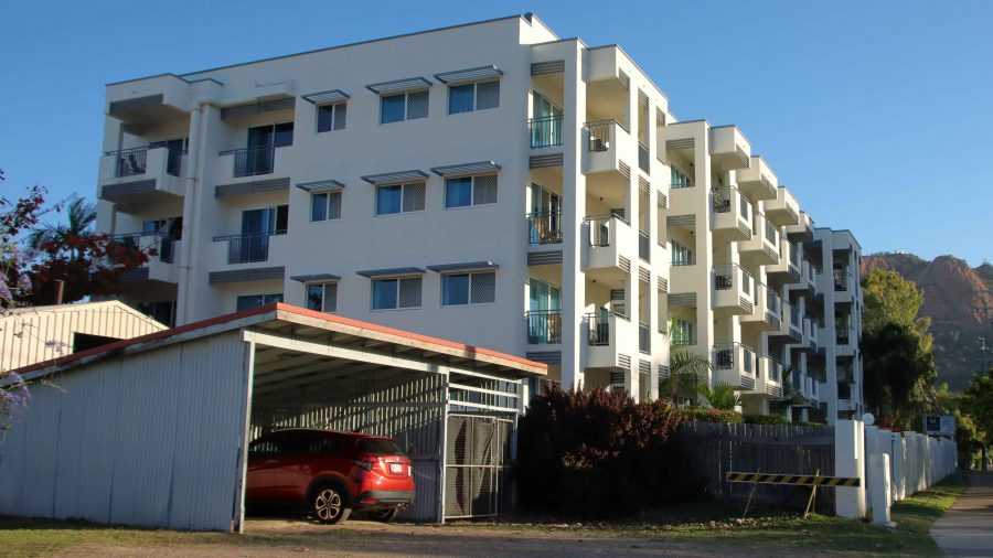
Madison Seabreeze Hotel, our Townsville accommodation
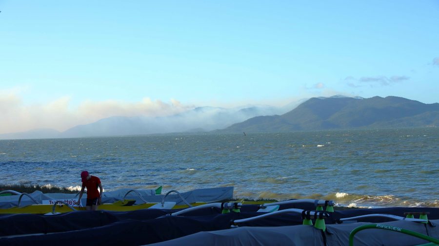
Smoke driftinf from Palm Island
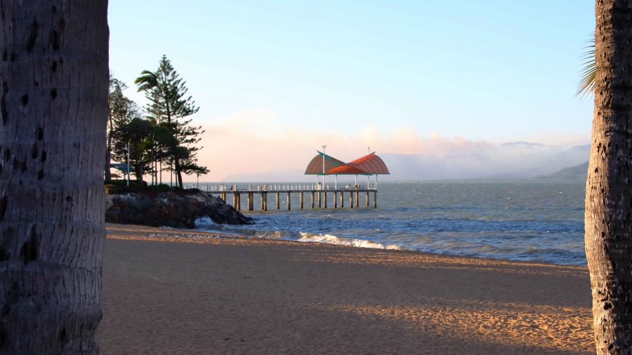
The Townsville Strand Pier

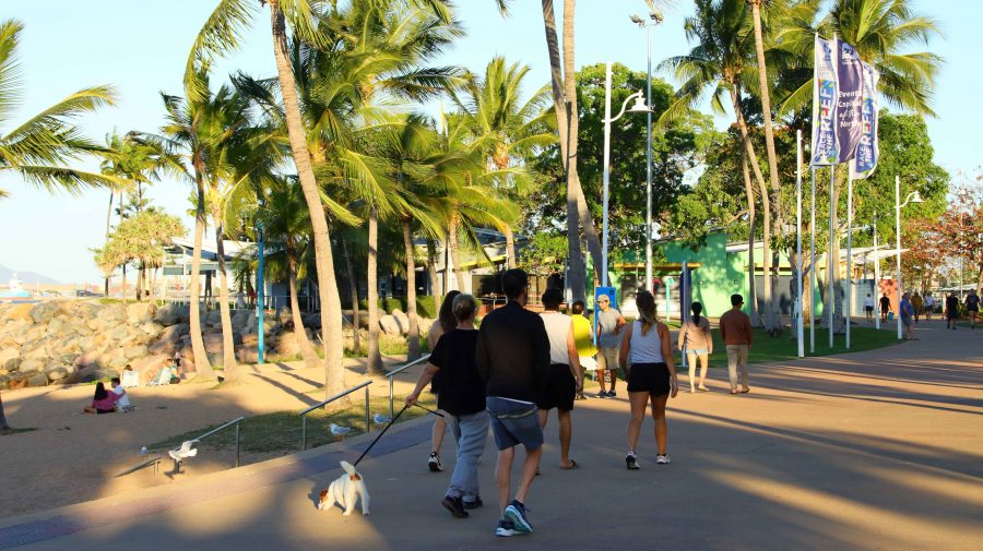
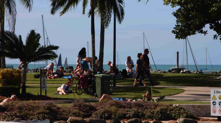
I took a stroll to The Strand and did my daily walk, in company with some of Townsville’s early evening walkers. I stopped to take photos while most other walkers just walked. We were all enjoying a pleasant evening.

Promanading Towsnsvilllians
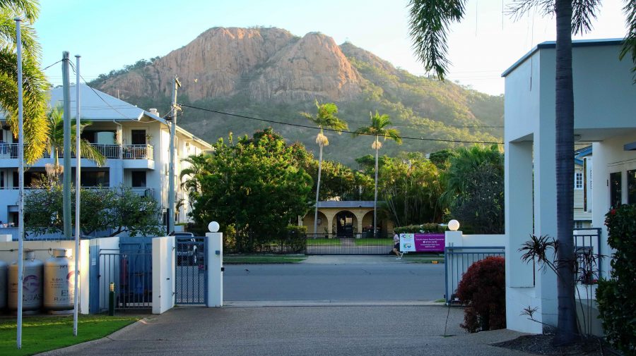
Castle Hill from our hotel driveway
The Strand from our balcony
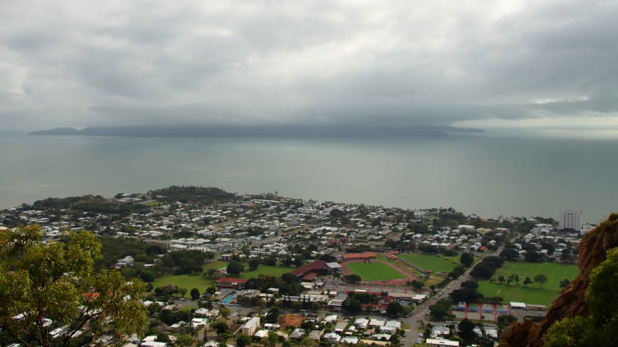
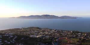
Cloud cover over Magnetic Island
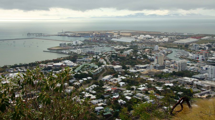
Townsville City & Port

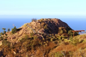
Wednesday dawned with total cloud cover and a ground mist. As we were packing, a light shower drifted in from the ocean temporarily obscuring Castle Hill. As the lookout at the top of that huge pile of rocks was our first objective for the day, we watched with mild anxiety, but good luck prevailed. By the time the we checked out and set off the rain had cleared and some lighter areas of cloud were starting to show.

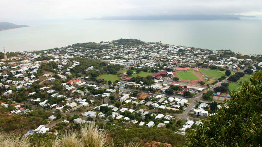
North Ward and the northern end of The Strand

The summit of Castle Hill was quite clear and reasonable for visibility and photos, although there was still rain falling to the west. The overnight rain had extinguished a large grass fire on Palm Island that had been sending huge clouds of smoke over the area north of Townsville and if still burning would have made photography problematical.

Traffic on the Bruce Highway was the heaviest that we had experienced south of Townsville, with constant traffic going north. But we still made good time. We made ourselves a cup of coffee at Brandon, just north of Ayr. South of Home Hill we drove the steep road to the picnic area at the summit of Mount Inkerman.

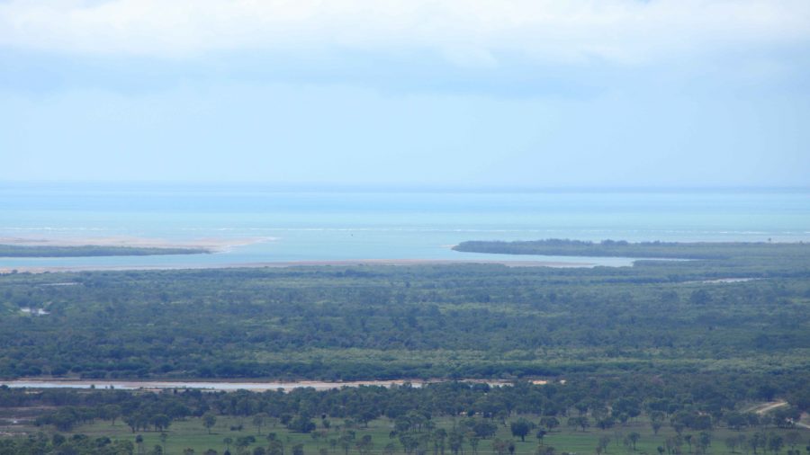
The mouth of the Burdekin River from Mount Inkerman

Last time that we made that drive we had to leave the caravan at the bottom beside the road. Drought prevailed and everything was brown and burned. This time greenery stretched to the horizon inland and to the Coral Sea to the east.

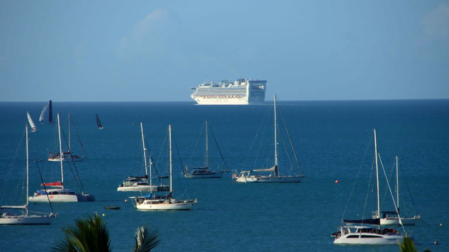
Departing cruise ship

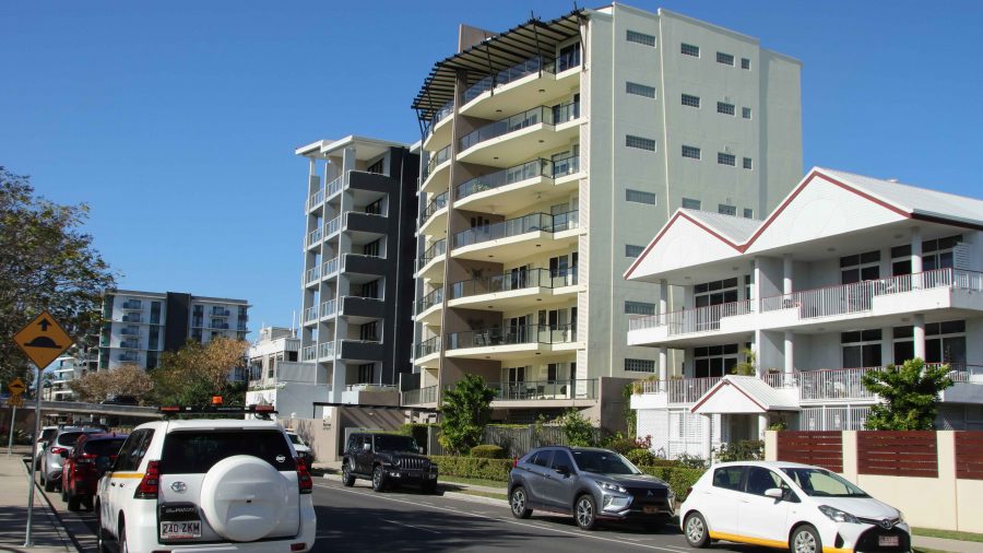
We called at Bowen for lunch and made it to our unit at Whitsunday Terraces at Airlie Beach by mid-afternoon.

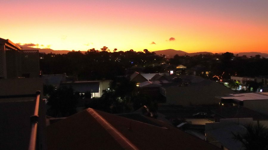
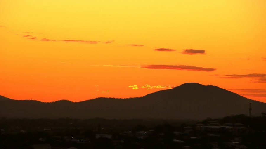
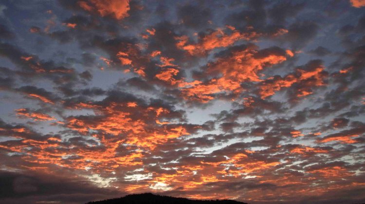
Sunset over the hills behind Airlie Beach

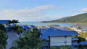
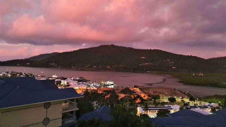
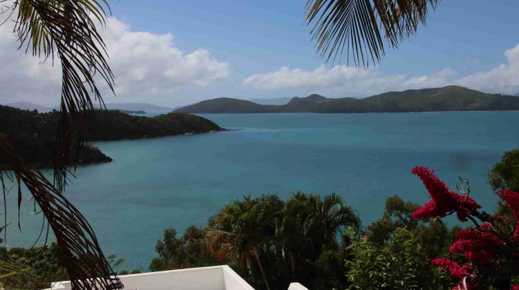
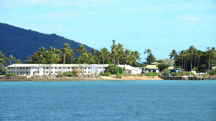
We had booked to ensure a view, and while our accommodation was not as elevated as on our previous visit, we still had great views of the town, Whitsunday Passage and the many boats at anchor outside of the harbour. Beyond the boats was a P&O cruise liner, at anchor waiting for the return of day tripping passengers. With not too much daylight left passengers were soon boarded and the ship weighed anchor and commenced its overnight cruise, disappearing from view to the north west.

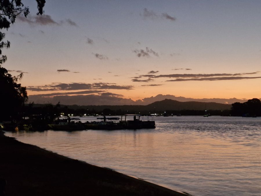
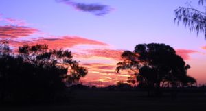
The sunset was a great display of colour. I pleasing end to the day.

Far North Queensland 2024 – Days 3 to 5 – Rockhampton to Cairns.

Area near the river and CBD in Rockhampton

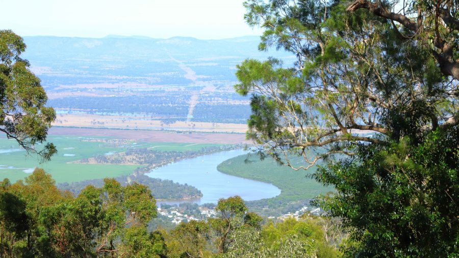
In the days before we set off for Far North Queensland, my Facebook news feed had regularly thrown up tourism advertisements from Rockhampton tourist authorities promoting the magnificent views available from the lookout at Mount Archer and a tree top walk on the same mountain top. That all sounded good, so after a short drive along the banks of the Fitzroy River on the South side, we crossed the river and took the road to Mount Archer.

Much of the mountain is a national park, the boundaries of which commence at the bottom of the hill. Like most national parks the roads have a 40-kph speed limit. We were immediately behind a tourist bus which was climbing the mountain at 20-kph. The road is very winding but after a while the bus driver signalled us past and we were able to return to the speed limit.

A limited view of the Fitzroy River from Mount Archer
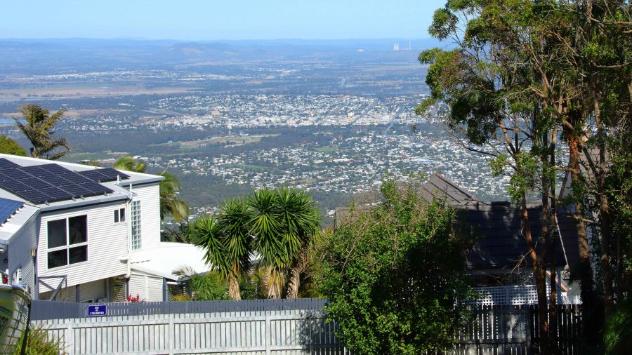
Rockhampton from the neighbouring residential area
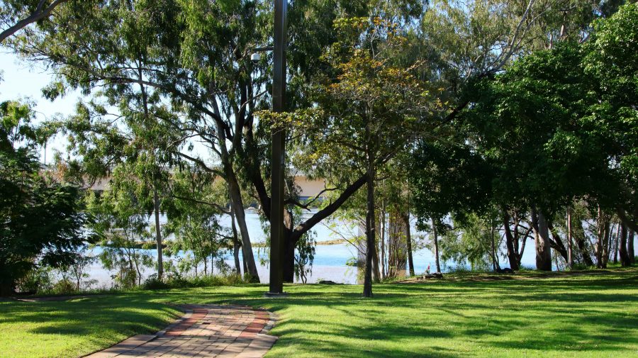
Parkland by the river near Rockhampton CBD

We reached the summit, but what a disappointment! When the lookout was first built the views probably were spectacular. But it seems that the influence of Green councillors has precluded trimming of the trees, to the point where they obscure most of the view. One of our fellow visitors was lamenting that he had not brought his chain saw,

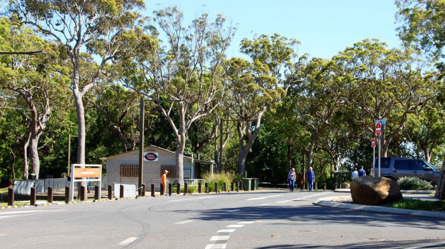
Public area at Mount Archer

Of the treetop walk we could find no sign, nor any mention of it on the signage at the park entrance. The best views are to be had from the small area of residential development that shares the mountain top with the national park and enjoys permanent spectacular views.

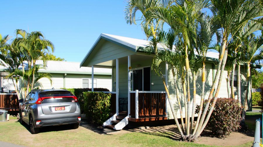
Our Bowen cabin with our car parked at the front stairs

We had booked a caravan park cabin in Bowen for two nights. It was a while since we had spent much time in Bowen, which is an attractive regional centre, with some excellent tourist facilities. The cabin was in good condition, fairly new and comfortable. It was located at the Queen’s Beach Tourist Village, which was packed with grey nomads.

Bowen is located on a peninsula and has both a northern and southern aspect. Horseshoe Beach at the north-eastern tip provides an easterly aspect as well.

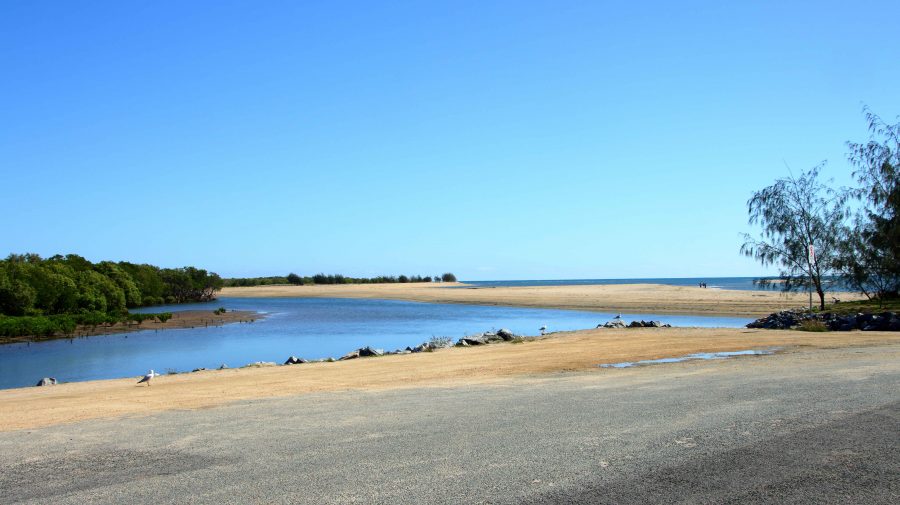
Near the mouth of the Don River
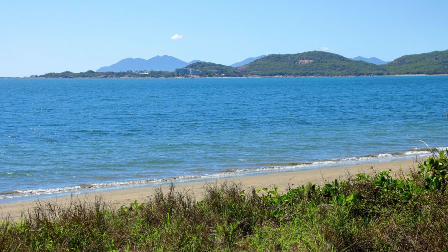
Kings Beach between Horseshoe Beach and Flagstaff Hill
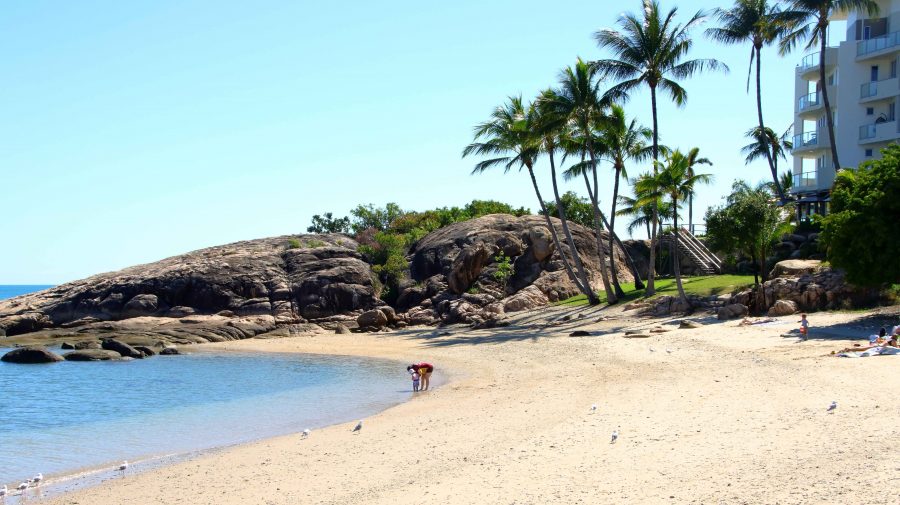
Coral Cove at the North-easterly tip of the North facing beaches

On the day we had available, we started at the mouth of the Don River and worked our way east to Horseshoe Beach and Rose Bay. The day was perfect and holiday makers were making the most of it. We made a quick call at Mullers Lagoon to check for bird life before visiting the main town centre. On our last visit here we still had a caravan and stayed at the caravan park by the harbour.

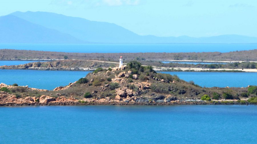
North Head Island Lighthouse marks the northern point of the entrance to Bowen Harbour

Finally, we drove to the summit of Flagstaff Hill for the views over the town and back south over the bay to Cape Gloucester and Gloucester Island, before returning to the cabin for lunch and a rest.

At about 4.00 PM we returned to Muller Lagoon for some bird photography and from there went back to Flagstaff Hill to watch the sunset from that vantage point. It wasn’t a great night for sunset colour, as there was almost no cloud cover to the west, but to watch the changing light on Bowen Harbour and the moon rise over Gloucester Island was not a bad substitute.

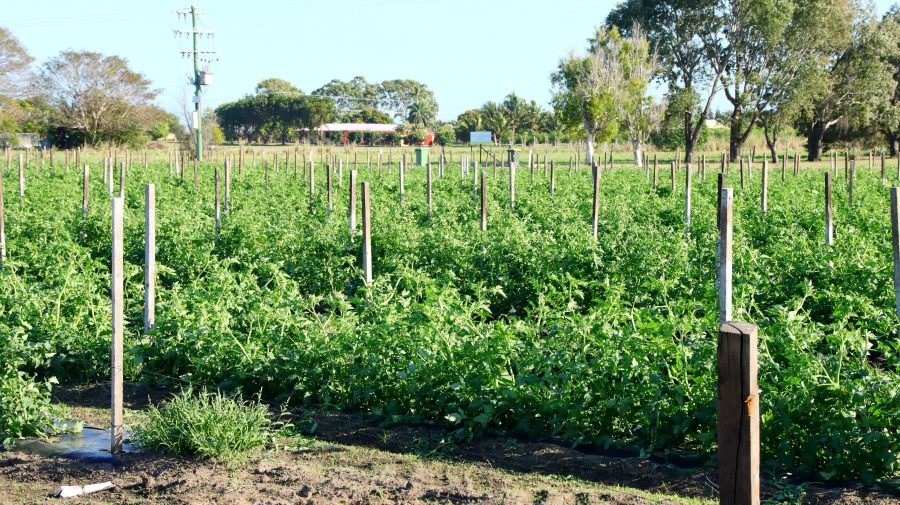
Tomato crop at a Bowen farm

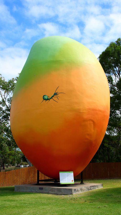
On successive trips north we have noticed the increase in horticulture and market gardens, that seem to be expanding around the larger towns and occupying some of the land formally used for sugar cane production. Bowen has mangos aplenty as indicated by the Big Mango at the southern approach to the town, but tomatoes are now very much in evidence. I wonder if we will ever see a Big Tomato at the entrance to the town.

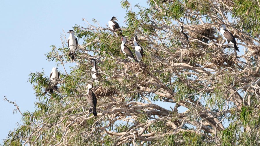
A nesting tree of Little Pied Cormorants
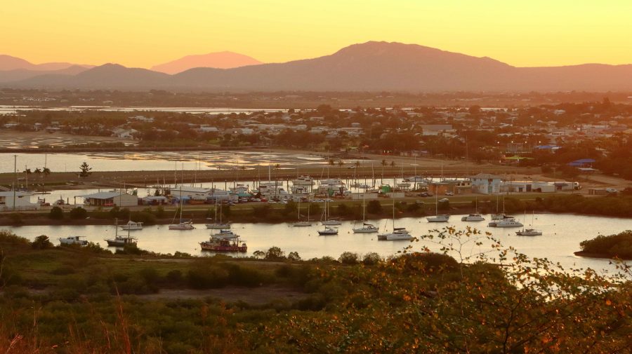
Bowen and Harbour in the fading light
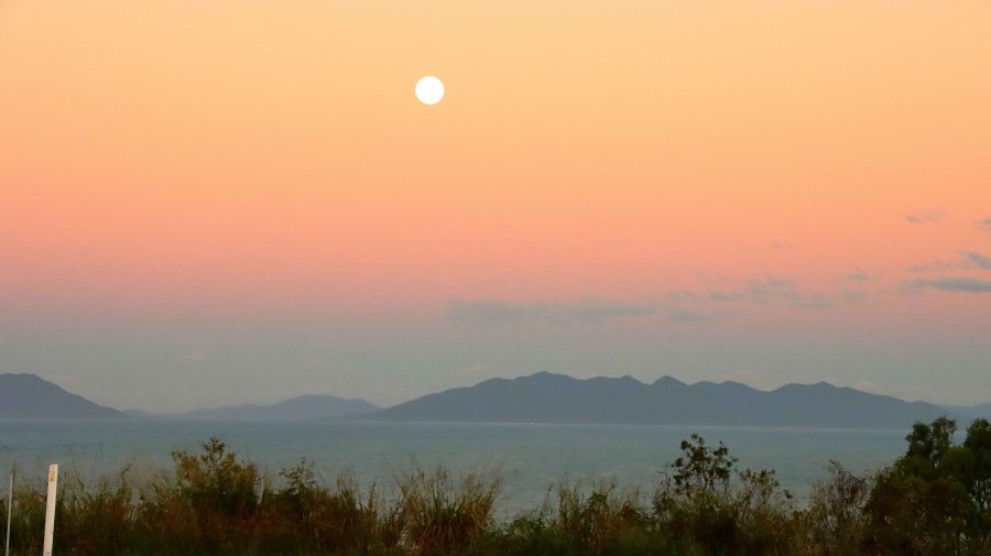
The Moon rising over Gloucester Island
Sunset over The Great Dividing Range

Bowen is a coal town with many of its residents employed at the gigantic coal loading facility at Abbott Point, just 30 km to the north. In addition, I would think it an ideal location for fly in fly out employees in the mines of the Bowen Basin just over the range to the west. Perhaps drive in drive out as well.

The Big Mango is located at the Visitor Information Centre at the southern entrance to the town

On Tuesday morning we departed to Cairns under cloudy skies. By Townsville the sky had darkened and as we passed through Ingham and approached the mountains near Hinchinbrook Island, the rain started to fall in earnest. An umbrella was required to leave the car for lunch at Innisfail, during what was, according to the news, a 50 mm fall of rain.

Just south of Cairns the rain abated, but returned after we had settled into our motel unit in North Cairns. When it rains during holidays you just have to deal with it. The greater problem was that in booking I had failed to specify a ground floor room, so Ruth had to make it up fourteen steps. We dealt with that problem, for the four nights that we were there, by going out in the morning and returning at the end of the day, when all activities were done.

Far North Queensland Again – 2024 – Days 1 &  2

Note: Click on pictures to enlarge.

Each year, as winter arrives in South East Queensland, I start to make comments about moving to Cairns. At least for the remainder of the Winter. But it is in jest. To do so is not practically achievable. But we can visit.

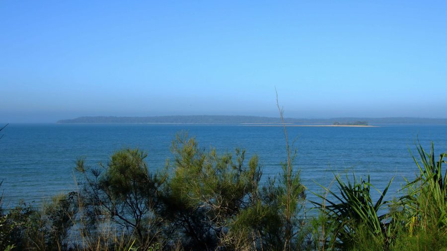
Fraser Island viewed from Matthew Flinders LOokout
Fraser Island viewed from Matthew Flinders Lookout

Since our retirement in 2009, we have tried to spend as much of Winter as possible travelling in warmer climes, even if that created the need to travel through colder areas coming from or going to the warmer parts of the country.

For the last few years, at least since we sold our caravan, we have travelled North, usually during August. By the start of August, the colder weather has usually got to me to the extent that a chance to start Spring early is very persuasive. We missed last year, as our daughter who works in India, was back in Australia, but this year we put plans in place.

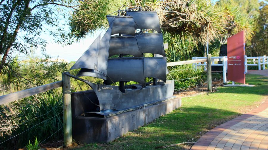
Ariadne was the first ship to bring settlers direct;y yo Hervey region

Originally the plans were to go to Cairns by train, with a sleeper berth on the Spirit of Queensland but we ultimately recognised that Ruth’s balance and mobility issues made that a poor choice. That arrangement would have had us returning home by air but we recognised that air travel out of a regional airport also had its problems. So, we decided that I would drive, but that we would take it in easy stages. We sort of did that, but necessity did dictate some variations.

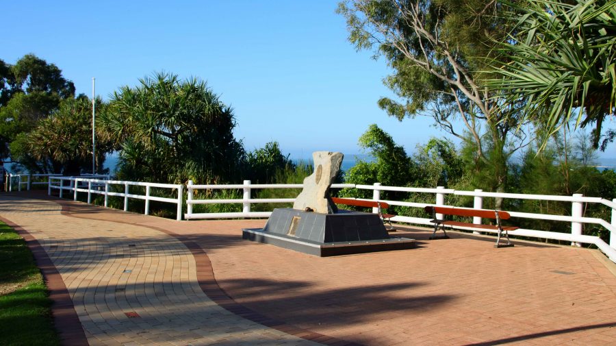
Memorial and Plaque to commemorate the landing of Lt Flinders at Hervey Bay.

We left home on 16th August with Hervey Bay our first destination. We left home after morning coffee and made Gympie by lunch time. The new bypass is not yet open, but beyond barriers we could see the new dual carriageway stretching ahead of us. We came into town for lunch and departed in the direction of Rainbow Beach until we reached the road to Maryborough, which we followed to that town and proceeded to Urangan.

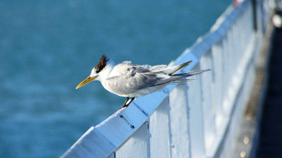
A Crested Tern in the rail of Urangan Pier.

While looking at maps before departure I had noticed the Matthew Flinders Lookout that is located between Urangan Harbor and the Urangan Pier. The lookout provided photographic opportunities, a parking space and toilets. Afterwards we moved the short distance to the base of the pier. Ruth remained in the car but I took more photos as I added to my daily step count along the famous Pier.

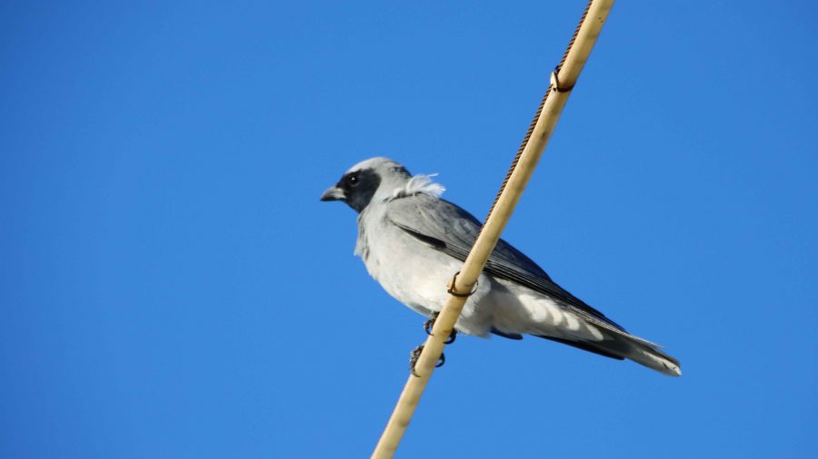
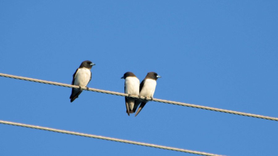
Our motel was at Pialba. After settling in I took my camera on a walk to acquire supplies for the evening. Perched on a power line just behind the motel I spied some birds, which I photographed. They were new to me and when compared to my bird identification book turned out to be a Black-face Cuckoo-shrike and a small group of White-breasted Swallow.

Black-faced Cuckoo-shrike
White-breasted Swallow
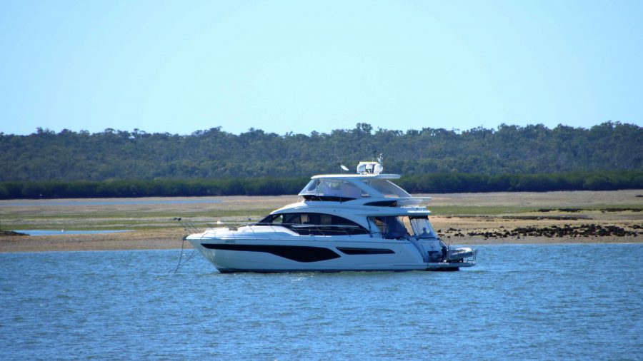
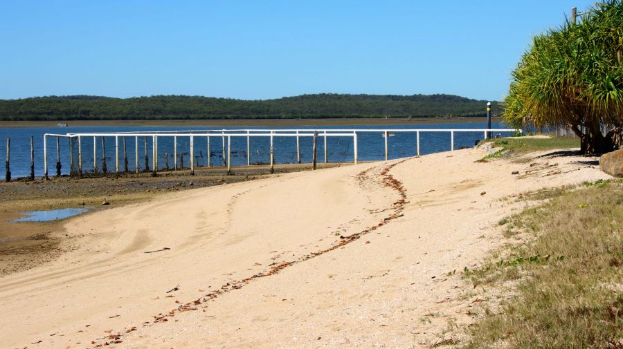
Pleasure boat at anchor at Turkey Beach

Rockhampton was our next destination. Just a little under 400 km for the day, we added about another 50 km by doing a detour to Turkey Beach, a town that most motorists just pass by. Turkey Beach is one of the few, perhaps the only, outpost of civilisation between Seventeen Seventy and Tannum Sands. It is a fishing village on one of the many inlets from the ocean that extend among the peninsulas and Mangrove swamps of the area.

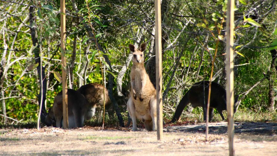
Kangaroos at Turkey Beach picnic area
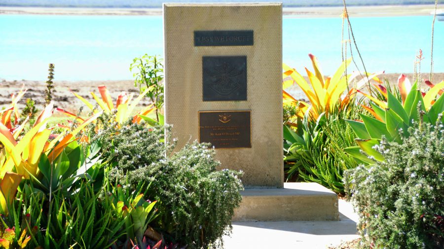
Memorial to Mr Ken O’Dowd MP former federal member for Wide Bay
Stinger free swimming enclosure
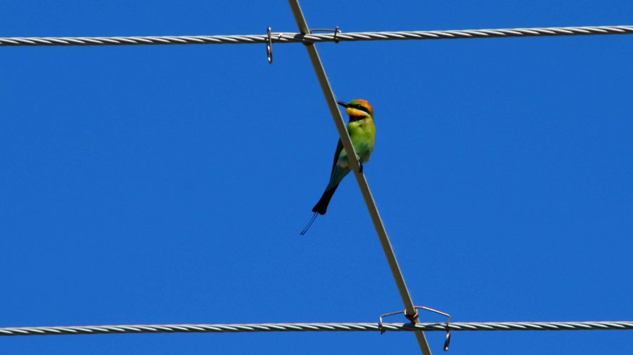
Rainbow Bee-eater on a power line

A good picnic area with amenities and a general store are its main amenities along with a launching ramp and stinger free swimming enclosure. A couple of women, enjoying the playground facilities with their children, assured us that it was a magic place to live.

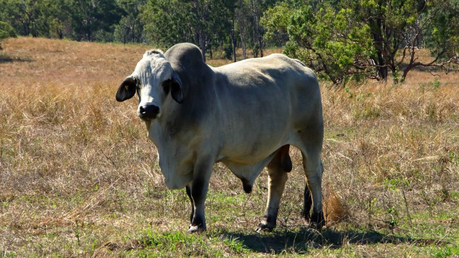
A short drive, during which we stopped to examine a couple of American Brahmin bulls, brought is to the regional city of Rockhampton, situated as it is beside the broad waters of the Fitzroy River, with its many moored boats and hidden crocodiles.

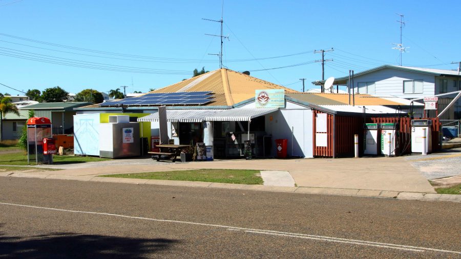
Turkey Creek general store
Now, that is a lot of Bull

A Drive in the Country

The recently departed long, hot and wet summer and early Autumn was far from ideal for travel. And after all, that is what my blog posts are mostly about.

Two planned trips to Queensland’s Granite Belt and New South Wales New England, were aborted for both family and weather reasons. Although that trip may still occur, it is not yet bloggable and may never eventuate anyway.

But good things come to those who patiently wait. The weather forecast for Queensland’s Labor Day public holiday was predicted to be a ray of sunshine between the clouds and so it proved to be.

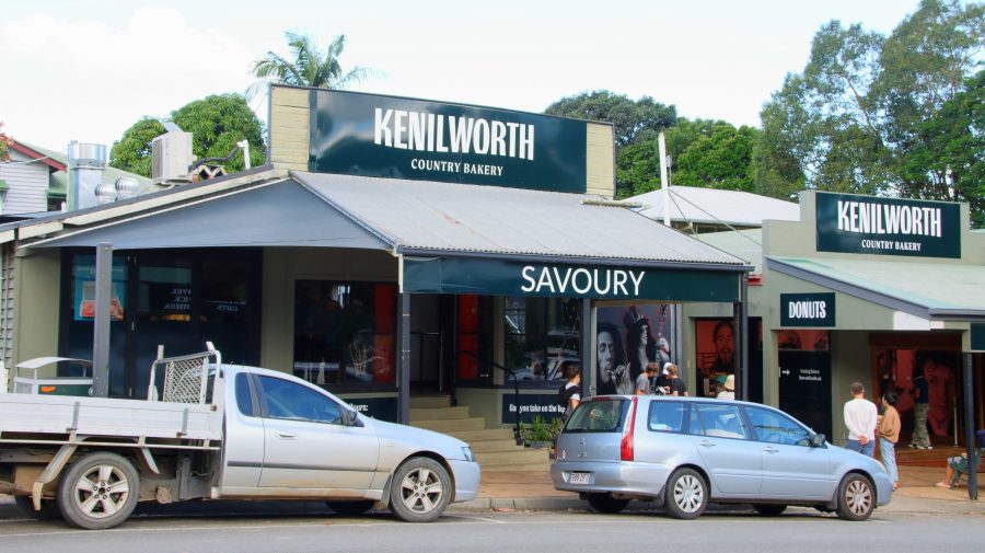
Kenilworth bakery and doughnuts
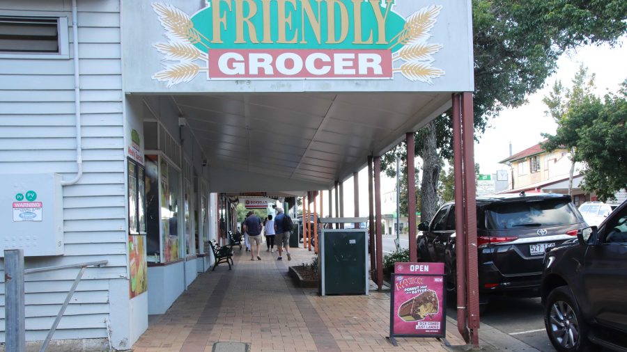
Kenilworth Friendly Grocer

Still hankering after Autumn colours, I recalled some Facebook comments from months ago, where a grove of trees near Kenilworth seemed to present possibilities. Unless you have word from the horse’s mouth, there can be no certainty about the timing of the appearance of Autumn colours.

We left home after breakfast, stopping at Wild Horse Mountain or coffee. At the north end of Nambour, we turned inland to Mapleton, followed the precipitous descent of Obi Obi Road and then Obi Obi Creek, to Kenilworth. Everything is so green at the moment. It was an enjoyable drive.

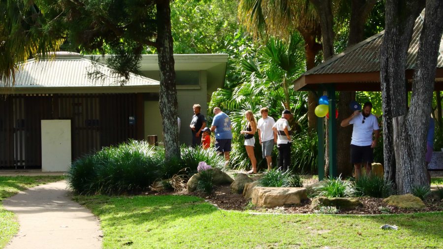
A Queue for the Loo
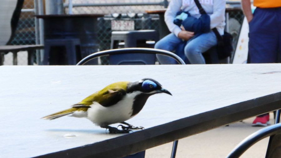
A visit from a Blue-faced Honeyeater

Lunch time had come, so we found a parking space after a bit of a search. Kenilworth is a poplar town on a sunny public holiday. We then walked the short distance to the Kenilworth Dairy, where lunch and cheese were both offered. Lunch first, then cheese.

As we waited for lunch to arrive, I took  couple of photos and rested my camera on the table. Suddenly, like out of nowhere, a Blue-faced Honeyeater landed on the adjoining table. There was no time for bird photography settings. It was grab and shoot and the bird was gone. You be the judge of the resulting photo.

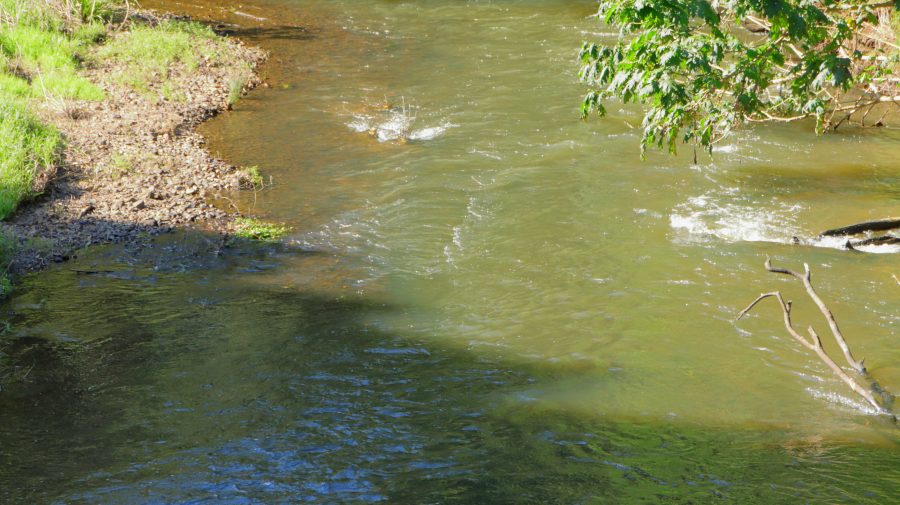
Obi Obi Creek, near Kenilworth

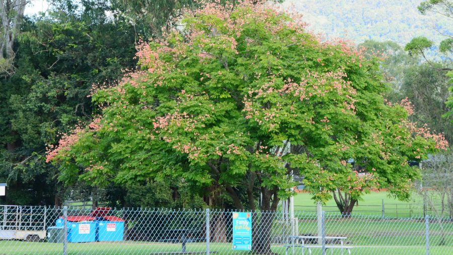
We walked around town, as you do, while I took a few photos. Then we drove out to the grove of trees that, if they possessed an decency at all, would have presented leaves with all the colours of the Autumn spectrum. But no such luck. I am sure the I had located the correct trees, but my timing was obviously out. But I photographed them I took some photos of Obi Obi Creek as well. The grove of trees is at the head of this post.

The day had improved from its quite reasonable start. There was more blue sky than clouds and the temperature was delightful. Of the alternatives available to us we chose to drive toward Noosa. A recollection of a desire to climb Mount Tinbeerwah, located between Cooroy and Noosa, surfaced, so that is where we went.

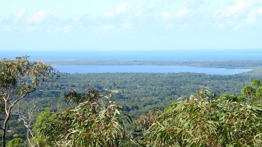
Lake Cooroibah on the Noosa River

Ruth stayed with the car and I took the track to the summit, not sure if I would go all the way. But once on the track it was hard to turn back and the views improved as I climbed. The track is concrete with inlaid stones for most of the way with some sloping bare rocks and a few short flights with steps. Where needed, the stairs have handrails.

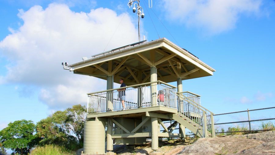
THe Summit of Mount Tinbeerwah

A roofed observation deck is at the summit. Rails enclose the area, as the peak is surrounded on three sides by precipitous cliffs. There were half a dozen people up there, all much younger than I am. One young fellow said that he was staying to photograph the sunset. The path down would be quite safe, even in declining light.

Dredging is currently in progress at the Mount of the Noosa River. We drove through Noosaville, appreciating the beauty of the river in the late afternoon and deciding that we would return for fish and chips in the twilight.

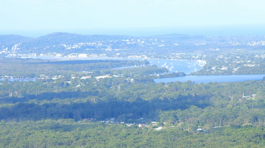
Noosa town and river through afternoon haze
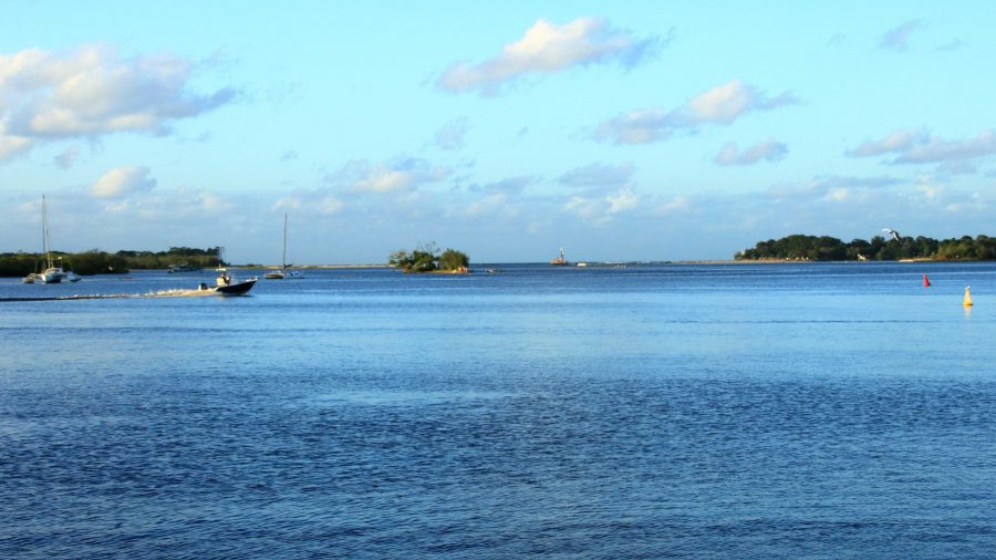
The Noosa River bar in after noon light

Noosa Heads was its normal busy self. We patiently made our way to Hastings Street and slowly followed, as part of the traffic, along its narrow way. Almost every parking space along the road that leads to the river was taken. Those vacant were too far back to allow for an easy walk to the river.

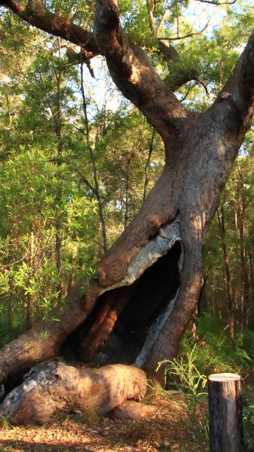
This tree is a survivor of fire beside the Tinbeerwah car park.

We turned and slowly progressed to Noosaville, securing a parking spot adjacent to the river, a short walk from the vender of fish and chips. We found a table in the alfresco dining area and placed our order. There are always too many chips, but there certainly was adequate fish and assorted sea food. Quite a feast

More photos were taken at Noosaville, of course, ensuring a pleasant couple of hours next day as I processed them. Some accompany this blog.

We always enjoy Kenilworth and Noosa. I think this was the first time that we had visited them both on the same day.

In case you were wondering, the day after the public holiday was another nice day, despite the forecast to the contrary.

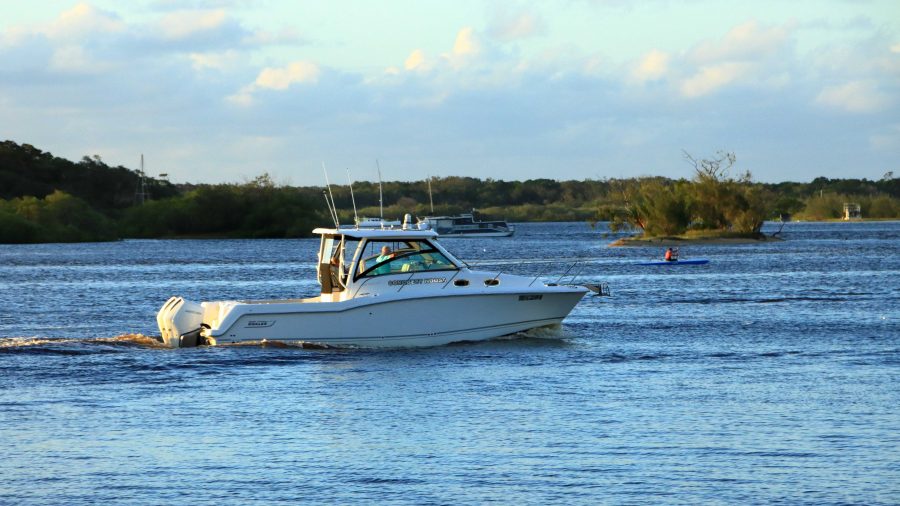
Cruising at Day’s End. Noosa River.
Noosa River Sunset

Interrupted Journey – North Queensland 2022 – Part 1

Part 1 – The Whitsunday Islands

Note: A video link appears at the bottom of this blog post.

Please Note: There is a video of the day in the Whitsunday Islands ay the end of this post.

The Mobile Sheathers are mobile again. We left home on the morning of Wednesday 10th August, for a tour that was planned to absorb the remaining days in August. But unexpected events occurred.

Our view to Port Airlie approaches

We departed in sunshine, came through a cloudy period around Gympie, then fine to our overnight stop at Gladstone. Brilliant sunrise on Thursday morning could only be seen through a window, without getting dressed and going outside, so no sunrise photograph.

A bit of rain south of Sarina and a bit more between Mackay and Proserpine but plenty of sun shining through the clouds as we topped the rise coming in to Airlie. We were able to enjoy that fantastic sunshine on blue water and green mountains view that is the reward for just getting there.

Whitsunday sunset from our balcony

We stayed at Club Wyndham, situated on the hill directly above the Port of Airlie, with little to obscure the view, after a fairly good drive, apart from road works. We estimate that at least 40% of the highway between Gympie and Gladstone has road works speed limits, 80, 60 or even 40 MPH if they get the chance. A bit frustrating but necessary. If you wonder why Australia is short of people to pick fruit, make coffee or all those other vacancies we keep hearing about, it is probably because so many are working building and repairing roads.

We enjoyed good weather at Airlie Beach, noticeably warmer than recent Redcliffe temperatures.  There has been early cloud, burning off to a clear afternoon.

New Shute Harbour Passenger terminal

On Friday morning, our first day at Airlie, we drove out to Shute Harbour to check out the new passenger terminal, built since the last cyclone. We also checked the logistics of the cruise through the Whitsunday Islands that we planned to do for suitability for Ruth, who gave it the thumbs up. We booked for the following day.

A view of Shute Harbour from near the houses on Coral Point, accessed from the road that runs behind and above the Shute Harbour car parking area.

We did a drive around the residential area that overlooks Shute Harbour area, then drove out to Mandalay Point (the range of hills opposite to Airlie Beach) to check on how the rich people live, or at least the houses that they live in. Some are beautiful houses with magnificent views of the bays and headlands around the residential area. A few original fisherman’s shacks remain.

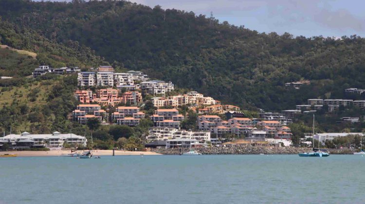
Units on the hill at Airlie Beach.
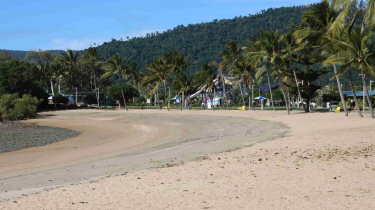
The beach at Airlie Beach at low tide.

After lunch we did a walk around the Airlie town, including enjoying an ice-cream. Then back to our resort for a rest and dinner. Club Wyndham is built on the steep hill that overlooks the town and port facility. It is very steep but that provides the views. It is a very nice resort. We are staying here through the kindness of our son and daughter-in-law.

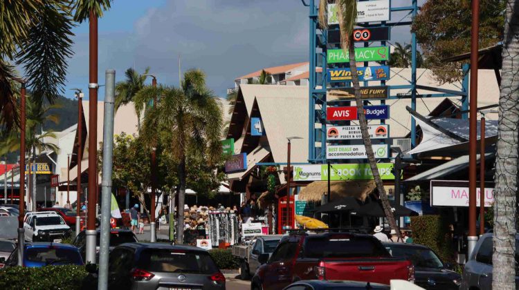
Shute Harbour Road in the heart of Airlie tourist strip
Poolside at Airlie, near the main beach
A recently completed mansion overlooks Airlie Beach
Cruise morning sunrise reflected on the clouds

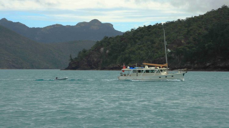
On Saturday morning we drove out to Shute Harbour and boarded the “Nancy Wake”, our tour boat for the day.  From Shute Harbour we cruised past Daydream Island, through the Mole Passage and past the now unused South Mole Island where the once famous resort that was so badly damaged by Cyclone Debbie remains closed and unrepaired.

The charter yacht base at Shute Harbour

Our passage then led inside Cid Island and through the both picturesque and functional deep-water anchorage. The harbour was used for refuge for Naval vessels during WWII.

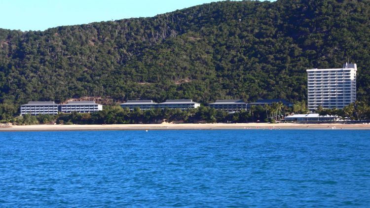
Daydream Island resort

The cruise continued through Hook Passage, the narrowing body of water between Hook & Whitsunday Islands and the shortest passage from Airlie and Shute Harbour to The Great Barrier Reef. The north-east part of Whitsunday is mountainous with precipitous drops to the sea. But not far along this coast is an inlet and Tongue Point, that provides a sheltered anchorage for vessels visiting Hill Inlet. A twenty-minute climb to the summit reveals sweeping views of Hill Inlet, Whitehaven Beach, Solway Passage and Haslewood Island.

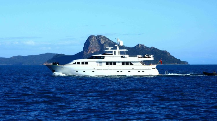
A motor yacht making for Cid Harbour

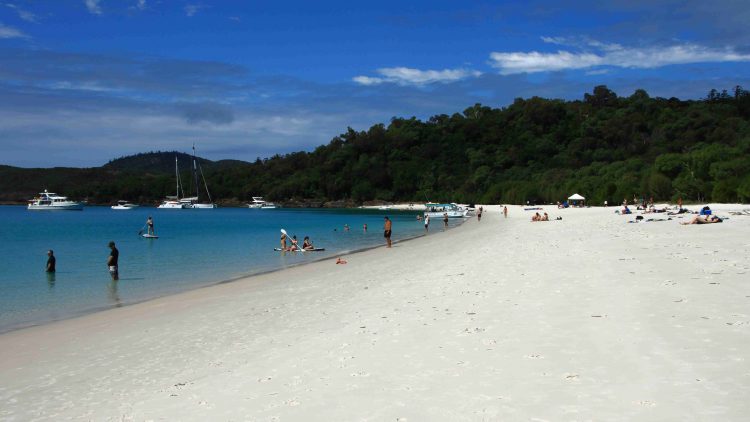
With all back on board, lunch was served, after which we moved on to anchor off the southern end of Whitehaven Beach, to allow passengers ashore for a guided walk, sunbake or swim. My legs were a bit tired from the climb to Hill Inlet Lookout but I did go ashore for a walk along the beach. We were anchored there for about two and a half hours, with plenty of company from private and other tourist boats and even a small amphibious aircraft.

The southern end of Whitehaven Beach . Swim, sun bake, snorkel, hike. Take your pick.
Our tour boat, “Nancy Wake”.
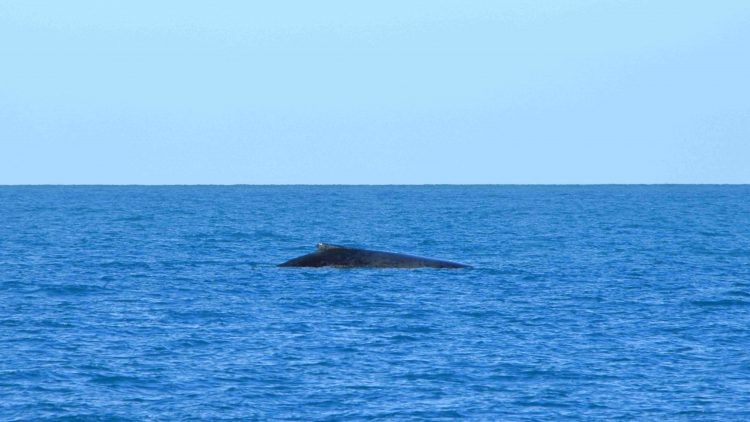
A breaching Whale off Solway Passage

With all hands back on board, afternoon tea was served. We then set off then to complete our journey. We continued south through Solway Passage where we came upon some Whales playing, so stopped to watch their show. After a pause of 10 minutes or so, the Whales dived and we moved on past Hamilton Island and the neighbouring Dent Island and returned to Shute Harbour.

A Pleasure Boat passing Perseverance Island
The main Hamilton Island resort area
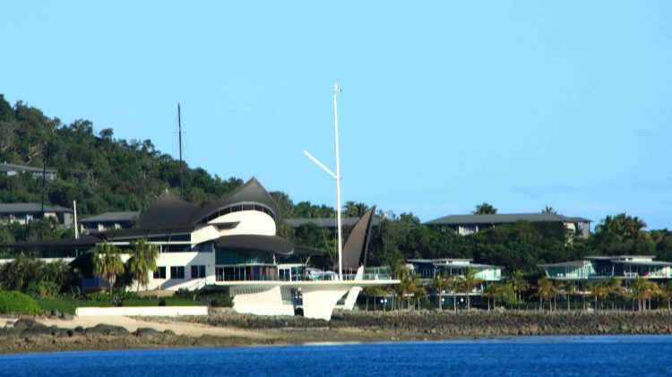
Hamilton Island Yacht Club and harbour entrance
Dent Island. The residence of the original owners is among the trees in the centre foreground.

The cruises past Hamilton Island provided an excellent view of both the tourist facilities and the stunningly located private accommodation on the northern end if the Island. This is a rich persons’ playground. Hamilton island Week was about to commence. Some of the large racing yachts were visible as our cruise boat proceeded past the harbour entrance, before turning for home. The afternoon light on both island and water was pleasing, as the sun moved towards sunset.

Hamilton Island, viewed over the stern of “Nancy Wake” as we headed back to Shute Harbour.

We had enjoyed a very pleasant day, to say the least. Lots of sunshine, seascapes, mountains, resorts plus more food than we could comfortably eat. We will move on tomorrow, very contented with our short stay in this paradise.

West, Centre and Flinders – Days 1 to 4 – A Bridge and Aviation History

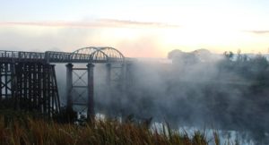
Dickabram Bridge

Dickabram Bridge

Some time ago, someone posted somewhere, a photo of Dickabram Bridge with a comment about an adjacent peaceful camping area. I noted it for future reference. When we settled with the Keith an Linda Giles on Burnett Heads as a meeting point we were committed to yet another trip up the Bruce Highway, but we wanted an overnight stop away from highway traffic. Dickabram Rest Area was just the ticket.

The Mary River upstream of the bridge

The Mary River upstream of the bridge

The turn from the highway is to the left at the small town of Gunalda, about 15 km north of the intersection of the Bruce Highway with the Wide Bay (or Bunya) Highway. The road is narrow but sealed and passes through woodlands and cane fields. The bridge carries the road over the Mary River near the remains of the town of Miva. The road then joins the Bauple Woolooga Road. This makes it something of a short cut to the South Burnett area, as we found during the afternoon and evening.

The bridge in the morning fog

The bridge in the morning fog

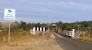
The bridge is heritage listed, as it is one of two of its kind in Australia. It has two lanes, one that carries road traffic and one that formally carried the railway. The line has long been closed, but the rails remain. The bridge is mainly of timber construction with a planked deck, the planks running at right angles to the direction of travel. We lived within hearing distance to a bridge planked in this manner when I was a child. They are a recipe for noise.

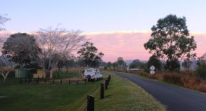
A cloud bank illuminated by the sun rise behind the camping area

A cloud bank illuminated by the sun rise behind the camping area

A unique feature of the bridge is the steel tube trusses that support the centre part that is actually over the river itself. The other trusses are of timber. The bridge was opened in 1886, completing a link to Kilkivan. The structure is 191 meters long and stands 23 meters above the river. Its decking has only once been under flood waters, quite early in its life, in 1893, but many floods have raged between its trusses since then, without bringing it down.

The deck of the bridge with the rails still in place

The deck of the bridge with the rails still in place

There is not much left of Miva. Its heyday seems to have been during bridge construction, when it was one of those towns that boasted a butcher, a baker and a candle stick maker and three pubs!

The camping area was quite, except when a vehicle was crossing and that occurred frequently during the late afternoon and quite a few times during the night. We were the only residents overnight but did entertain a travelling couple to afternoon tea. We took pity on them. Their caravan was damaged and they had been waiting for two weeks for it to be repaired and were living in a cabin at Gunalda while they waited. They had visited the bridge to help fill in some time. We assisted by extending the time taken for their visit to the bridge.

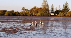
Pelicans at Burnett Heads

Pelicans at Burnett Heads

The next day we made our way back over the bridge as we moved on to Bundaberg and Burnett Heads. As had been the case the day before, we met an endless stream of caravans coming south. We arrived at the Burnett Heads Caravan Park at about 1.30 pm to find Keith and Linda Giles two caravans ahead of us in the check in queue.

A crimson sunset

A crimson sunset

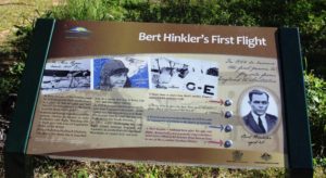
The arrangement was really about spending some time with them, but on Wednesday we went together to visit the Hinkler Hall of Aviation. Almost everyone has heard of aviator Bert Hinkler and most people know that his home was in Bundaberg. He came to fame in Europe but it all started in Bundaberg.


A tribute to Bert Hinkler at Mon Repos Beach

A tribute to Bert Hinkler at Mon Repos Beach

I had no idea that he designed and built his own glider, taking inspiration for his design from the study of the ibis. His glider actually flew a mere ten years after the Wright Brothers first successful flight, on what is now Mon Repos Beach, now better known for its popularity with the Loggerhead Turtle as a breeding ground. It was named after Hinkler’s home in England. This house now stands in the gardens at Bundaberg North, having been reconstructed brick by brick after being dismantled and moved to Bundaberg.

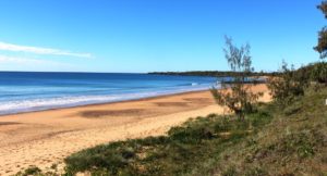
The beach where the first flight took place

The beach where the first flight took place

We visited the house several years ago. Now it stands next to a large building that contains the story of Hinkler’s life and many of the aircraft, some of them replicas, with which he was involved throughout his life.  He became a pilot, served with distinction during the First World War, reaching the rank of Squadron Leader, and of course was the first aviator to fly solo from England to Australia. But he was a gifted engineer and inventor. Many of his inventions are still in use today.

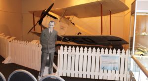
A Bert Hinkler cutout in front of his famous aircraft

A Bert Hinkler cutout in front of his famous aircraft

The Hall of Aviation is an extensive building with a roof shaped in the style of an aircraft wing. Inside is an extensive display that features several aircraft but has video booths, wall mounted illustrated story boards, flight simulators and even simulators that allows visitors to experience the sensation of flying a glider of the type that Hinkler built.

The Hinkler home relocated from England

The Hinkler home relocated from England

A visit is to be absolutely recommended.


A Hinkler designed amphibious airfraft

A Hinkler designed amphibious airfraft

The aircraft wing shaped roof of the building

The aircraft wing shaped roof of the building

Gardens and cafe from the house balcony

Gardens and cafe from the house balcony

Cruising yachts on the Burnett River. The rum distillery is in the background.

Cruising yachts on the Burnett River. The rum distillery is in the background.

We returned to the city area to lunch, overlooking the Burnett River and after a bit of essential shopping returned to Burnett Heads for a second communal evening meal. This morning Keith and Linda continued their journey home to Castlemaine and we moved north to Baffle Creek for a couple of nights. We will post from Baffle Creek if anything worth reporting should occur.

Baffle Creek, incidentally, is south of the town of Seventeen Seventy. This part of Queensland is known as the Discovery Coast.

Central Highlands and Mackay – 9 to 14 June – Finch Hatton to Mackey and Home

Day 8

A still morning at Marian Sugarmill

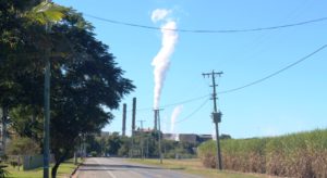
Steam rising almost vertically on a still morning as we passed Marian sugar mill

Moving on to Mackay was the main item on the day’s agenda. We drove the 70 km or so to Mackay, turning north at Marian to the Bruce Highway and approaching Mackay from the north.  The morning was clear with almost no breeze. We quickly settled into the Andergrove Van Park. We have been here before so know our way around.


Birds feeding near our caravan

Birds feeding near our caravan

We arrived just before midday, set up the van and had lunch. But there were delays while we chatted with a West Australian couple, of about our vintage, who arrived at the neighboring site, as we were setting up.

Then to chores that needed our attention, so washing and a trip to the shops completed the day.

Day 9

We were visited by a group of ducks

We were visited by a group of ducks

Last night Ruth encountered some problems with access to the Internet, with her computer and pad, while trying to connect to the Internet through the mobile hot spot facility of her mobile phone. So first order of the day was to get it sorted. A young technician at the nearest Telstra shop solved the problem in about two minutes, but there was a bit of a wait for his services, so we did not return to the van until lunch time.

Sunset Beach at Shoal Point

Sunset Beach at Shoal Point

After lunch we went for a drive to the near northern beaches. I love this part of Queensland and could easily live here. Three promontories point northward into the Coral Sea, giving ocean views to the north and to a certain extent, to the west. Each has elevated terrain at their northern extremities and locals have taken full advantage of high ground when building their homes.

Dolphin Heads from the deck at the Eimeo Hotel

Dolphin Heads from the deck at the Eimeo Hotel

We started at Shoal Point, which is furthest from Andergrove, and returned through Bucasia, Eimeo, Dolphin Heads and Blacks Beach. We called at the Eimeo Pacific Hotel for Devonshire Tea. The hotel is a beautiful old building, situated at the top of a hill at the most northern point of the promontory. It has an extensive deck with umbrella shaded tables.  Views are over neighboring Dolphin Point including the Dolphin Point Resort and to the not very distant outlining islands, that are part of an island chain that runs all the way to the Whitsunday Islands.

Eimeo Hotel deck

Eimeo Hotel deck

Lamberts Beach and Mackay Harbor

Lamberts Beach and Mackay Harbor

We returned back south and past our caravan park to drive in the other direction to Slade Point. At the tip of the point is a car accessible observation point that provides panoramic views of Mackay Harbor and the marina with its village of high rise apartments and hotels. In the distance, to the south and east, views are to be had of the twin coal loading facilities of Hay Point and Dalrymple Bay, with their cluster of loading ships and the armada of waiting empty bulk carriers out to sea.

Yacht entering Mackay Harbor

A yacht entering Mackay Harbor

We finished the day by driving out to the end of the harbor breakwater. The parking area there gives another view of the coal loader and waiting ships plus a view of the harbor facilities. At that time of day they were silhouetted against the setting sun. About 25 years ago I had close commercial involvement in this part of Queensland. It was fascinating to see the development that has occurred during the last quarter of a century.

Day 10

Beach at Cape Hilsborough

Beach at Cape Hillsborough

Today we did a tour of the more distant beach locations north of Mackay. We repeated the first few kilometres of yesterday’s trip but then cut across through the small town of Habana to the Cape Hillsborough road. The drive was through more cane fields in an area of undulating terrain where each hill top seemed to be crowned by a house.

Mountains behind the beach on Cape Hilsborough

Mountains behind the beach on Cape Hillsborough

Cape Hillsborough has a caravan park, where we stayed for a few days about six years ago. Today we parked at the picnic area in the national park for coffee before taking a walk on the beautiful beach. The beach is not beautiful in terms of brilliant white sand. The sand is grey in colour and muddy nearer the water, as the tide was out. It’s beauty comes from the rocks sculptured by waves, wind and rain over the ages, the steep hills that fringe the beach and the dramatic mountains that form a backdrop. And then there is the implied romance of off shore islands, partially obscured by haze.

Beach side houses at Ball Bay

Beach side houses at Ball Bay

In then, in turn, visited Ball Bay, Halliday Bay and Seaforth. These towns of varying size each has its own bay , beach and a residential area of old fishermen’s hut type houses with newer residential and holiday homes built among them. Each town has an esplanade behind the beach, a park with facilities and a swimming enclosure to keep box jellyfish and crocodiles at bay.

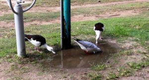
Birds feeding under a tap.

Birds feeding under a tap.

We lunched under a picnic shelter at Seaforth, the largest of the towns. A family, returning from the beach, stopped at a tap near to our table to wash sand off their feet. The resulting pool of fresh water was quickly taken over by ducks and seagulls that seemed to enjoy a long drink of fresh water. They showed no fear and provided us with entertainment as we had our lunch.

Empty swimming enclosure at Seaforth

Empty swimming enclosure at Seaforth

This latish lunch marked the end of our outing, so we headed back to the van for some preparation for our departure next day for home.


Picnic facilities at Seaforth

Picnic facilities at Seaforth

Days 11, 12 & 13

We had allowed ourselves three days to travel home. The weather was deteriorating as we came south and getting colder.

Water birds being fed at the caravan park

Water birds being fed at the caravan park

The first day brought us to the minute town of Yaamba, which is on the highway not far north of Rockhampton, for an overnight stop in a road side parking area. Once again we had heavy traffic thundering by with trains in the distance. But we are becoming immune to truck noise and enjoyed a good night’s sleep. There was heavy rain over night but we did not hear it.

A bulk carrier on its way into the Gladstone coal terminal

A bulk carrier on its way into the Gladstone coal terminal

For the evening of day two we had arranged to call on my former secretary from Mayne Nickless days. We had some time to spare before arriving at her home so drove into Gladstone and found a parking spot with views of the harbor and shipping activity. There we relaxed and had lunch. Two empty coal carriers were escorted to their births by tugs while we watched.

Former secretary Sandy has a brand new husband who we had not met, so we accepted an invitation to dinner and to park overnight in the spacious grounds around their house, on the northern fringe of Bundaberg. They are developing the property into a wedding reception and conference centre. The attractive property has areas of forest and lush green lawns. We enjoyed their company and the meal prepared by hubby Ian and learned much about the challenges of establishing such a business.

There was a bit more rain overnight and more as we came further south, with frequent showers passing.

On our way back south we discovered the missing caravans from our trip north. They were all coming north on the Bruce Highway. The spare spaces that we had seen in caravan parks were in process of being filled.

Central Highlands and Mackay – 2 to 5 June 2016 – From Home to Dingo

Day 1 – Thursday 2nd June
Free campers set up for the night at Gympie

Free campers set up for the night at Gympie

Once again we were on the Bruce Highway, travelling north. We followed the Bruce to just past Gympie, turned left into the Wide Bay Highway for 20 kilometers, turned right to pass through Woolooga and ultimately to Biggenden,  where we finally turned  south west to our overnight stop at Ban Ban Springs.

The distance is 301 km. The map showed the road via Woolooga as being sealed all the way but there is an unsealed strip of about 20 km that winds its way over a range. We had been encountering showers all morning. A particularly heavy deluge arrived just as we hit the gravel. The wheel ruts almost immediately became rivulets that obscured the actual road surface. I thought we were going to arrive at our stopover with a dirty van but the rain continued for long  enough after we came back on the tar to give us a quite effective wash.
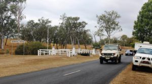
To preserve the memorial bridge it has been bypassed by the road

To preserve the memorial bridge it has been bypassed by the road

Further on, but before Biggenden, we came across (not literally) a memorial bridge, which used to be in service, but has now been preserved by the side of the realigned road. It spans Bridge Creek right beside it’s replacement. Signage claims it to be the only privately funded memorial bridge in Australia.
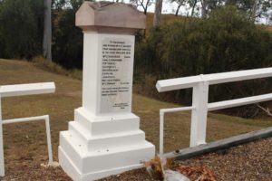
One of the pillar style end posts commemorate local fallen from WWI

One of the pillar style end posts that commemorate local fallen from WWI

Adjacent to the bridge, but a bit further from the road, a picnic shelter has been erected. Its one wall (three sides are open) contains material about soldiers who did not return, including a letter from a soldiers fiance seeking information about his death. At both ends of each bridge rail stand small but monumental posts of stone. One of those at the northern end lists the local fallen from the First World War while the other lists those who served and returned.
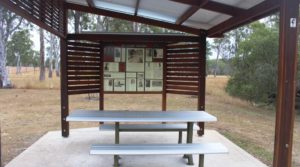
 

Memorabilia from WWI relating to locals who served
Memorabilia from WWI relating to locals who served

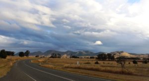
Light and shade on the hills as we approach Ban Ban Springs

Light and shade on the hills as we approach Ban Ban Springs

Rain was still falling as we reached Biggenden but cleared as we drove the 36 km to Ban Ban Springs. The sun broke through as we crested a hill to illuminate an agricultural valley. Clumps of trees stood out like stage props under a spot light, while cloud shadows patterned the hills that stretched across the scene like a backdrop.

Ban Ban Springs is a roadhouse and motel at the junction of the Isis and Burnett Highways. The rest area, where caravans stop over night, is right across the road. Since arriving her I have remembered that this route is a favorite truckies short cut for heavy vehicles travelling between North Queensland and Melbourne and Adelaide. I’ll let you know how much sleep we get.
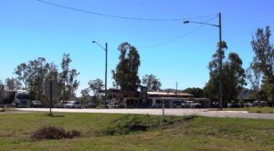
Ban Ban Springs Roadhouse

Ban Ban Springs Roadhouse

Day 2 – Friday 3rd June

The trucks did not interrupt out sleep. Traffic reduced after around 8.00 pm and we only heard the odd vehicle go by. In no time at all the sun was peeping through the overcast of cloud, something that it continued to do during the day. We encountered little of the forecast rain.
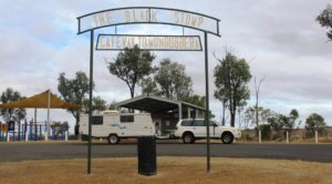
IMG_4248We stopped at Mundubbera for morning coffee and at Monto for lunch, on both occasions using the excellent roadside facilities provided in this area. Both include driver reviver facilities for holiday periods.

Traffic was relatively lite with not as many caravans as we expected. Caravans on the road were mainly travelling south with few moving in our direction. Caravan parks don’t seem to be busy either. Perhaps the Burnett Highway is not a popular tourist route.
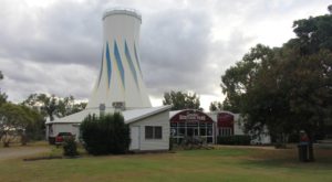
The main feature of Heritage Park is the ex Expo 88 Primary Industries silo

The main feature of Heritage Park is the ex Expo 88 Primary Industries silo

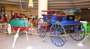
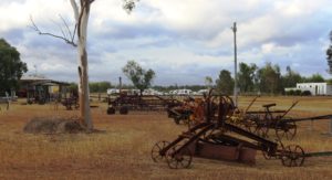
So it is not surprising that we are in a very lightly populated park tonight. We are in the 48 hour rest area that is part of the Queensland Heritage Park in Biloela. The park is managed by a club of historic machinery enthusiasts. They have a huge display of old agricultural machinery, small and large, and displays of the kind of household memorabilia with which I shared my early years. But much of the collection is older than I am. The central building of the complex that houses much of the display is the Primary Industries pavilion from Brisbane Expo 88. I had a close association with that particular building during Expo.
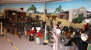
Part of the Heritage Park display

Part of the Heritage Park display –  including a variety of cream separators
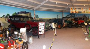
Motor vehicles have been lovingly restored to their former glory
Motor vehicles have been lovingly restored to their former glory

Transport from an era long passed
Transport from an era long passed

Old farm machinery with visiting caravans in the background
Old farm machinery with visiting caravans in the background

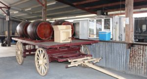
Wagon and wine barrels standing beside the bar in the function shed

Wagon and wine barrels standing beside the bar in the function shed

Thunder storms are forecast for tonight but as yet only a few rain drops and no thunder. Perhaps we will sleep through the noise even if it does occur.


Day 3 – Saturday 4th June

The storm arrived at midnight and woke us with torrents of rain drumming on the roof of the van. Our first thought was for the lady travelling alone in a vehicle with a roof top tent parked next to us. My next thought was, “Did I close the window of the car after I wound it down to insert the card that opened the gate to the camping area?”. That question had to be answered so up I got, put on wet weather gear and ran around the front of the car to check. Yes, securely closed! So I dashed back into the van with wet PJ pants and black mud all over my feet. After a thorough foot wash and a change of PJs we had a cup of tea and went back to bed
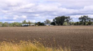
Recently plowed land with house and sheds north of Biloela

Recently plowed land with house and sheds north of Biloela

The rain had gone by the morning but the mud had not. Despite a covering of recently mowed grass the mud found its way through on to boots and shoes. Black mud and mower clippings make a challenging mess when clinging to the soles of said boots and shoes.

Today’s journey has taken us north to the Capricorn Highway via the small town of Dululu, where we made the mandatory stop at the loo. The overcast sky again gave way to sunshine but an unexpected storm came back from the opposite direction to that of the storm last night. It only lasted for 15 minutes or so.
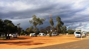
Vans in the Dauringa camping area

Vans in the Duaringa camping area

We had intended to reach Dingo but the camping area at Duaringa looked inviting and with plenty of space, so we decided to stay. That decision was confirmed when we found the lady with the roof top tent from the previous evening.  She joined us for a cup of tea and we found out a bit about her.

Her name is Annie. She is a single middle aged lady who loves to travel and particularly in Australia, as this is her third consecutive Australian winter. She has a Nissan Patrol with all necessary gear, which she leaves here in preparation for the next visit. She has covered a great deal of Australia, particularly the outback. She left the following morning, headed for a Simpson Desert crossing.
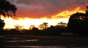
The setting sun lights up the edge of the departing storm clouds

The setting sun lights up the edge of the departing storm clouds

After the storm the setting sun broke through to produce a stunning sunset that lit up the clouds through the entire 360 degrees of the horizon.


Day 4 – Sunday 5th June

The sun rose into a clear sky again. We didn’t see a cloud all day and at the end of the day, at Dingo, the sun set, producing a brilliant strip of orange light across a flat horizon.
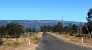
The view approaching Blackdown Tableland

The view approaching Blackdown Tableland

We came on the final 36 km to Dingo, refueled and parked the van in a large parking area behind the Dingo Roadhouse. We set up, put our security arrangements in place,  packed a picnic lunch and headed west on the highway for the 12 km to the turn to Blackdown Tableland National Park. The next 12 km to the foot of the mountain runs through unfenced cattle country with plenty of grazing stock that seem to prefer the roadside grass to that further away from traffic. They were healthy looking beef cattle of various breeds.
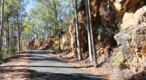
The road that runs at the base of the cliff as the summit is neared

The road runs at the base of the cliff as the summit is neared

The road to the summit of Blackdown Tableland is sealed, but steep and winding. From the time that we left the highway we could see the long Cliffs of coloured sandstone that gives this mountain its special appearance. The climb was through dense forest for much of the way but near the summit the road runs directly below the cliffs.
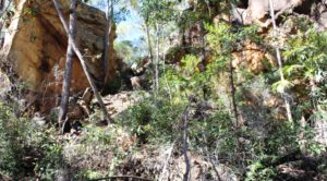
A gap in the cliff face beside the road
A gap in the cliff face beside the road

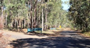
The end of the sealed road at the start of the park plateau

The end of the sealed road at the start of the park road

The sealed road ends at the information shelter but the dirt road was in good condition and adequate for the 60 kph speed limit within the park. We drove to the southern car park, which is as far as you can drive. Walks start there for what seems to be a significant waterfall but the distance and terrain was a bit much for the time we had available.
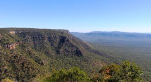
The view from the lookout that we reached
The view from the lookout that we reached

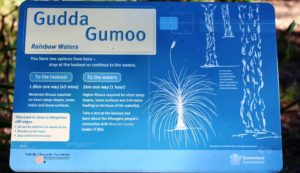
The sign for the walks that we did n

The sign for the walks that we did not do

We were thwarted in reaching a lookout by a chain locked across the access road, but did make it to the lookout that provides a view to the north and northeast. It was only a 100 meter paved walk but the view was fairly spectacular.

There is a camping area about 5 km past the information shelter where a few campers were in residence. The lengths of the walks are more suitable for campers than for day trippers unless the day trippers arrive early and are young and fit.

We finished the day by driving on to Backwater. The town is all about coal and promotes itself as the coal capital of Queensland. Apart from mining activity and coal trains the town was quiet on a Sunday afternoon.
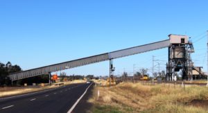
Coal conveyor and loaded train near Blackwater

Coal conveyor and loaded train near Blackwater

The coal trains run along beside the highway in this area. At Dingo Roadhouse there is a truck parking area, the roadhouse, the highway and a strip of vacant land between us and the twin sets of rails of the coal line. A stiff south easterly breeze had been blowing the sound away from us but when the breeze dropped as evening fell it was as if the volume had been turned up.
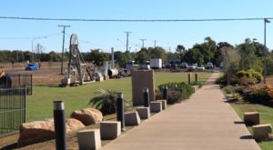
The entrance path and old mining equipment at Blackwater

The entrance path and old mining equipment at Backwater coal information centre
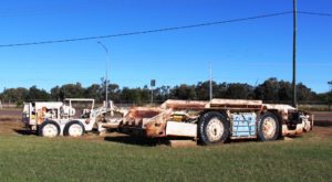
Retired underground mining equipment at Blackwater

Retired underground mining equipment at Backwater
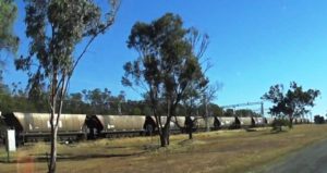
Driving past a long coal train

Driving past a long coal train

The trains are rather large, typically with about 100 coal wagons and three engines, with an engine at each end and one in the centre. So as they pass, you have the rumble of wheels and the scream of electric motors. The line is electrified. Trains go by at a rate of three to four per hour. So, yes, our sleep was a bit disturbed.
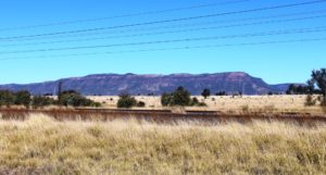
A final view of Blackdown Tableland as we drive back to Blackwater

A final view of Blackdown Tableland as we drive back from Blackwater
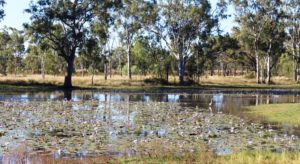
Massed water lilies in a roadside pond near Dingo

Massed water lilies in a roadside pond near Dingo
Mountains and Waterfalls

Townsville has a wonderful mountain. It is called Castle Hill. Its battlements tower over the Central Business District with the scenic Strand running along its eastern foundations.

Magnetic Island offshore from Townsville's beach side suburbs

Magnetic Island offshore from Townsville’s beach side suburbs

Great views are to be enjoyed from this vantage point that sweep from Magnetic Island to the east, to the sprawling western suburbs and to coastal plains and mountains to north and south. To the south west stands Townsville’s other viewing platform Mount Stuart, with the regimented neatness of the Army’s Lavarack Barracks at its feet.

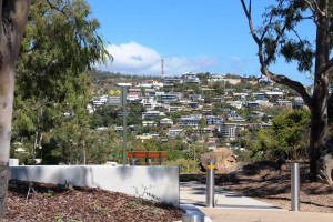
Hill side homes with views over Magnetic Island

Hill side homes with views over Magnetic Island

It took us two attempts to reach the summit of Castle Hill. The first attempt was thwarted by the phone call that confirmed our appointment with WO Hema at the military museum. We needed to find a place to turn around on the narrow and steep road to return to earth to keep our appointment. We only found turning space a couple of hundred meters from the top.


Our second attempt was later in the day, as sunset was approaching. We then discovered the extent to which residents of Townsville use this rocky elevation for exercise. The participants in this activity are mostly young and female but the slim black tighted majority

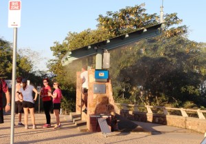
Misting station at the summit of Castle Hill

Misting station at the summit of Castle Hill

are interspersed with the not so slim, older men with looks of grim determination on their faces, the odd younger male on a bicycle. Young mothers with children in pushers were making the climb, some accompanied by young children on foot.

The Council has installed what could best be described as a misting booth at the summit so that hot climbers can cool themselves

Climbers resting as they wait for the setting of the sun

Climbers resting as they wait for the setting of the sun

at the end of the climb. It is not greatly used on a winter afternoon but probably very popular in hotter weather. Some climbers wait to get their breath back, in tranquil solitude or small groups, before starting down again. Others occupy one of the many vantage points to watch the sunset.

Our most northern point on the coast this trip was Ingham. We stayed for three nights so that we

Ingham's Tyto wetlands are worth a visit

Ingham’s Tyto wetlands are worth a visit

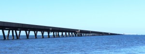
had time to explore the mountains of The Great Dividing Range. This spine that runs the length of our east coast is never far inland in North Queensland. But first we used the afternoon of our arrival to take the drive to Lucinda, a small town adjacent to the southern tip of Hinchinbrook Island, to see the six kilometer long bulk sugar loading jetty.

The six kilometre jetty seems to almost reach the horizon

The six kilometre jetty seems to almost reach the horizon

It was a beautiful afternoon, warm with a light breeze. It is not possible to walk along the jetty, which is really a huge conveyor belt with a maintenance road on top, but we walked around the adjoining park, stopping to talk to other strollers or to watch workers replacing the roof of one of the bulk sugar terminal

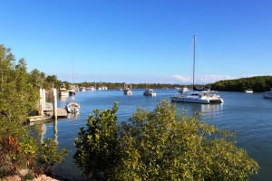
Boats at anchor at Dungeness

Boats at anchor at Dungeness

buildings. After driving the short distance to the neighboring town of Dungeness we refreshed ourselves with a restoring iced coffee as we enjoyed the view of the rugged peaks of Hinchinbrook.

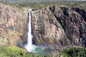
The main reason for our visit to the area, apart from our search for warmth, was to visit Wallaman Falls. For a water fall to be worth visiting, you need water. Last time we were in the area, dry weather had reduced to flow over the falls to little more than a trickle. Current flows are sufficient for a good show.

The full view of Wallaman Falls

The full view of Wallaman Falls

Wallaman Falls, at a straight drop of about 230 meters, is the longest drop in Queensland. To get there you drive about 50 km west of Ingham, park in the area provided, then walk about 100 meters to the viewing platforms and there are the falls in all their magnificence.

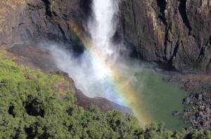
The water tumbles over the edge of a precipice in a plunge that is unimpeded until it creates a continuous explosion of water on the rocks of the continuation of the stream into which it falls. Nature has dictated that the falls face about north east so are directly lit by sunlight for most of the day. The rays of the sun create rainbows in the spray. The rainbows move up and down the column of water, changing with the position of both sun and viewer. At times, from a particular position you can watch two rainbows move together to become one.

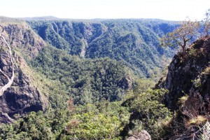
The gorge down stream from Wallaman Falls

The gorge down stream from Wallaman Falls

Those with much more energy than I possess can descend by a steep but well formed path to the foot of the falls and no doubt, from that changed vantage point, can view more rainbows in the spray. But the return journey is a kilometer multiplied by two. That requires a lot of energy.

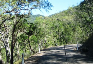
The first 30 km of the drive is through cane fields and grazing

The rainbow in the spray

The rainbow in the spray

country. The final 20 km is up the mountain. The road is a good width, but steep and winding for most of the way. Only about 5 km remains unsealed and roadwork in the area suggest that this will soon be fixed.

On our way home we encountered the unexpected! We had slowed as we approached a creek crossing because of the rough surface and noticed that an approaching vehicle had pulled to our side of the road and stopped. So we stopped too. And there, walking casually along the road towards us was a fully grown Cassowary. It was in no hurry and walked within a meter of my open window. Then a third car approached, in a hurry, and the bird was gone, frightened back into the scrub.

A sample of the narrow Mt Spec Road

A sample of the narrow Mt Spec Road

The following day we travelled about 40 km south on the Bruce Highway and drove up the Paluma Range to the mountain top town of Paluma and on a further 12 km to the Paluma Dam. We had tried to do this a couple of years ago but were thwarted by cloud over the mountain. About a kilometer from the top we had encountered thick fog. This time the sky was blue, without a cloud in sight.

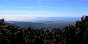
The view from near Paluma

The view from near Paluma

The scenery is not of the standard of the Wallaman Falls drive but the lookout at Paluma provides sweeping views of the coast and off lying Islands, of which Palm Island is the most dominant.

Access is via Mt. Spec Road, which is interesting in its own right. Built during the depression, the construction was accomplished mainly by manpower with little mechanical assistance. The workforce was substantial, probably because men were more readily available than machines. The road climbs and twists its way to the summit providing tempting glances of the view to be seen from the lookout at the top.

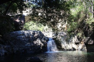
Below the bridge over Little Crystal Creek

Below the bridge over Little Crystal Creek

Certainly the most charming spot on the road is the bridge that crosses Little Crystal Creek. It is a single arch structure of concrete but beautifully faced with stone in the manner of so many historic bridges in Australia. But if you simply drive over it you miss the best. For where it spans the creek waterfalls tumble into rock pools that make great swimming holes on warm days. It is a magic place. The amenities block at the picnic area even has a change room.

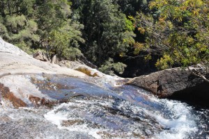
At the top of Birthday Falls

At the top of Birthday Falls

The drive to the dam is through rain forest and over mountain ridges on a narrow gravel road. About halfway between the town and dam a clearing in the bush provides parking for those who go on the 500 meter walk to the top of the Birthday Falls and perhaps the 500 meter scramble to the bottom. We chose the former and while the view from the top is probably not as good as from the bottom you still get the idea of a stream of water plunging into a valley far below.

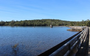
The waters of Paluma Dam

The waters of Paluma Dam

The dam is part of Townsville’s water supply but is also a favorite camp site for locals. We met a surprising succession of vehicles as we returned down the range. Paluma is probably something of a weekend retreat for Townsvillians and it was Saturday afternoon. We completed the day with a stop at the Frosty Mango for an ice cream as we returned to Ingham.