Our original plan for our return had been a short drive to Atherton and then to return to Redcliffe via the inland route, through Charters Towers, Emerald, Roma and then home. But forecasts were predicting that burst of warmer weather towards the end of August. When we realised that the day we were to arrive in Roma the temperature was predicted to be 37C we recast our plans. We had come north looking for warmth, not heat.
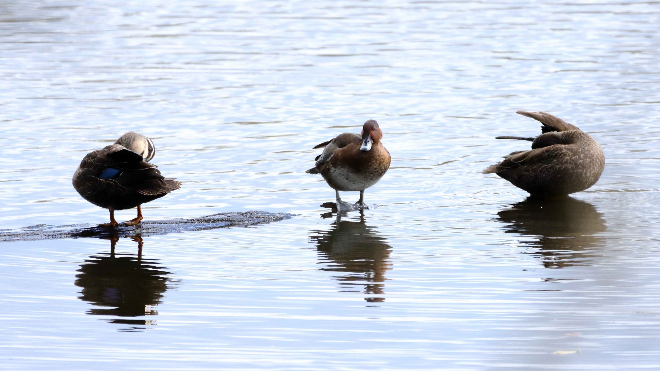
All the ducks in a row. Pacific Black Ducks in this case
We were not able to cancel our Atherton motel booking so left it in place. It is not that much further to go south from Cairns via the Palmerston Highway to Innisfail, so that is what we did. Our new plans included a night at Townsville, two at Airlie Beach and then one each at Yeppoon and Bargara.
From our brunch break at Smithfield, we drove directly to Mareeba, stopping only at road works. That meant several stops. Our one stop in Mareeba was at Coffee Works where we enjoyed an ice-cream and acquired a bottle of their own locally made chocolate liquor. It is among our daughter-in-law’s favourite tipples, so makes a good present. This time for her birthday.
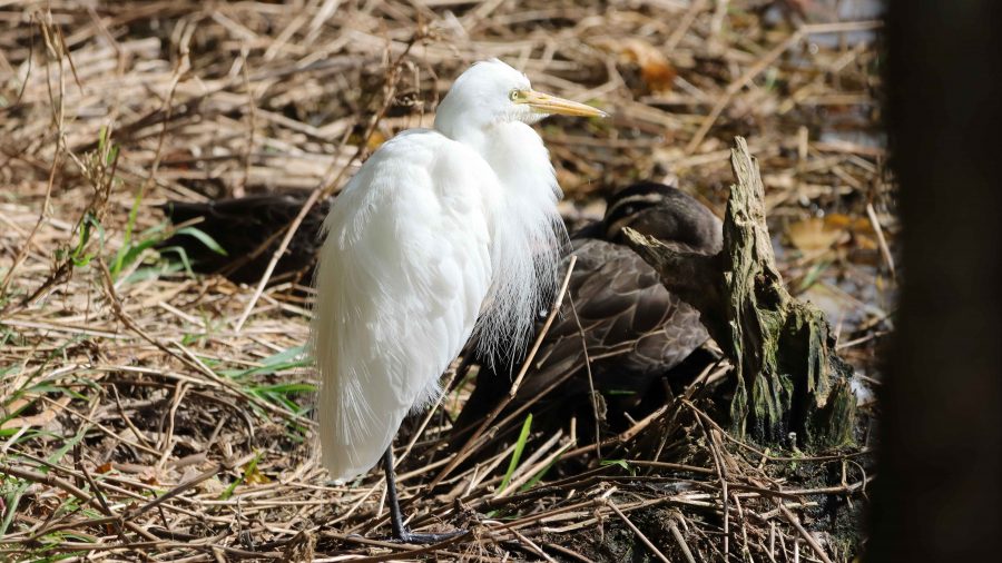
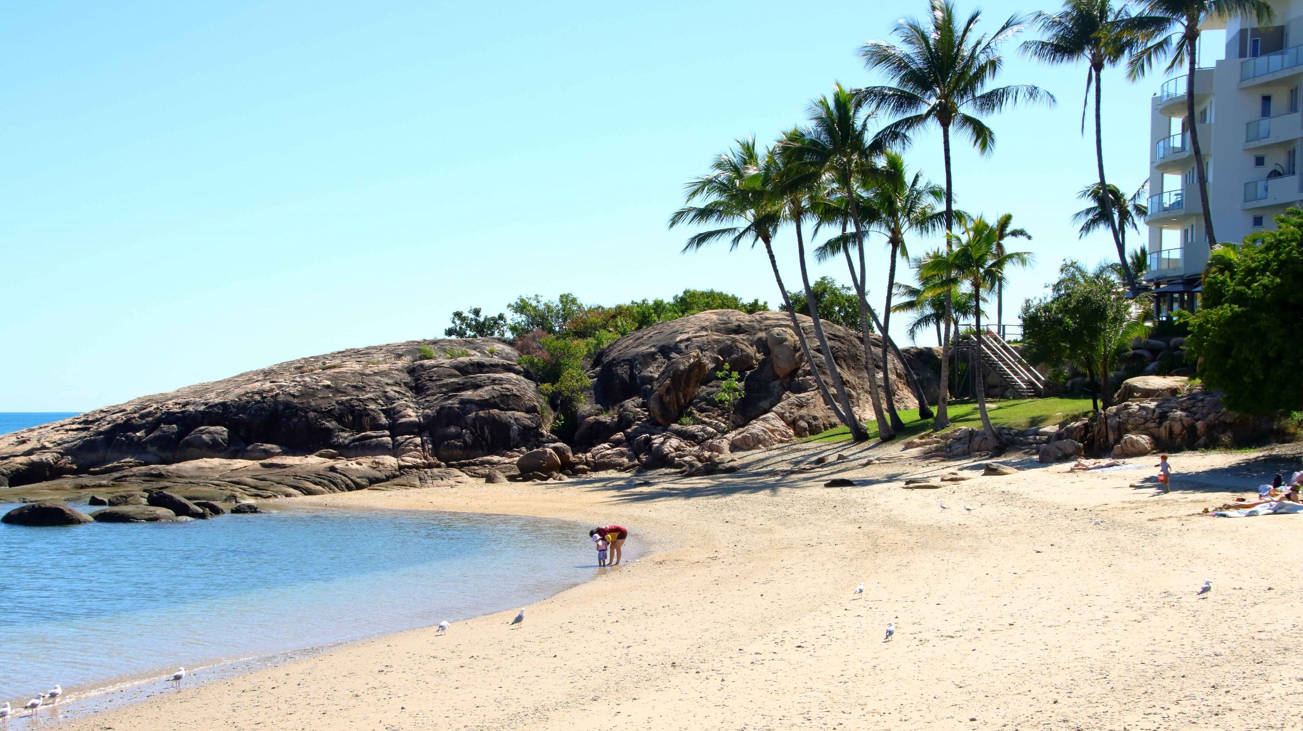
Before going to our Atherton accommodation, we drove to the south of the town, to Hastie’s Lagoon, a water bird sanctuary. The area around the lagoon is really a national park. It boasts an impressive two-level bird hide. But Atherton birds are every bit as smart as birds in other places and were mostly sitting or floating just beyond the the extreme range of my longest lens.
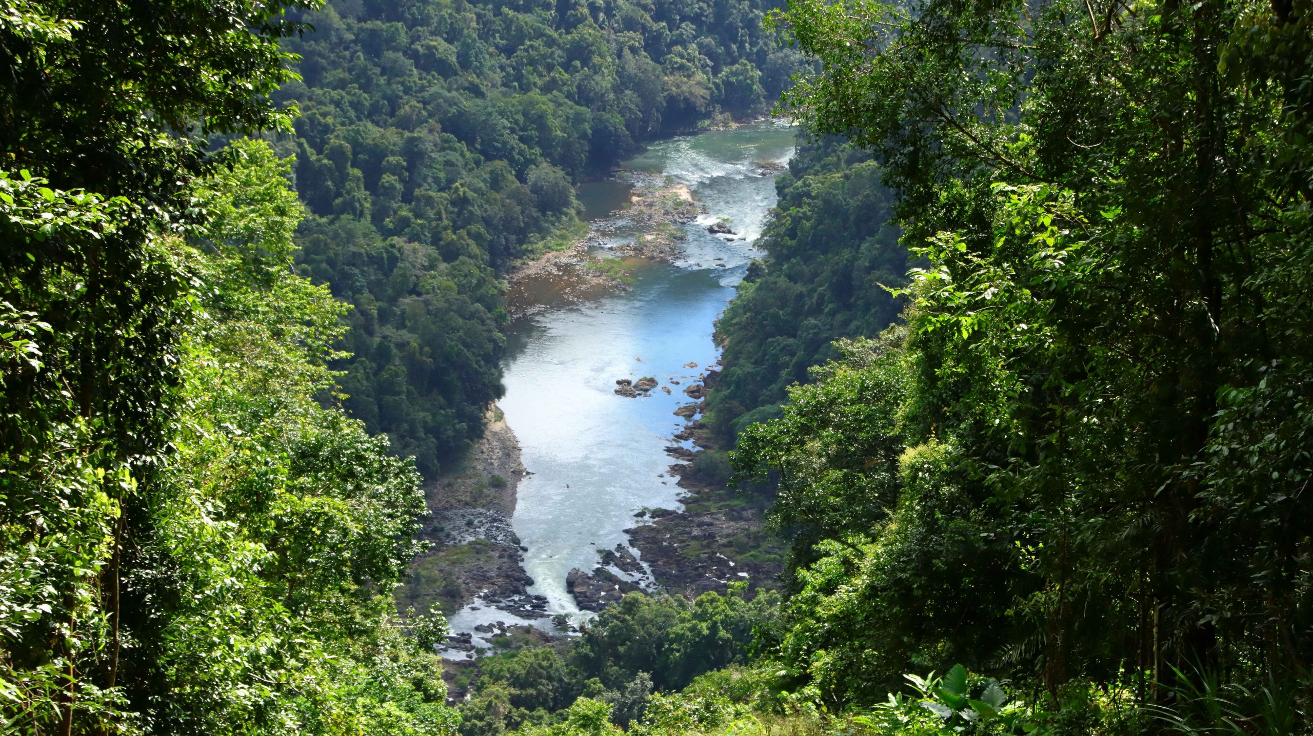
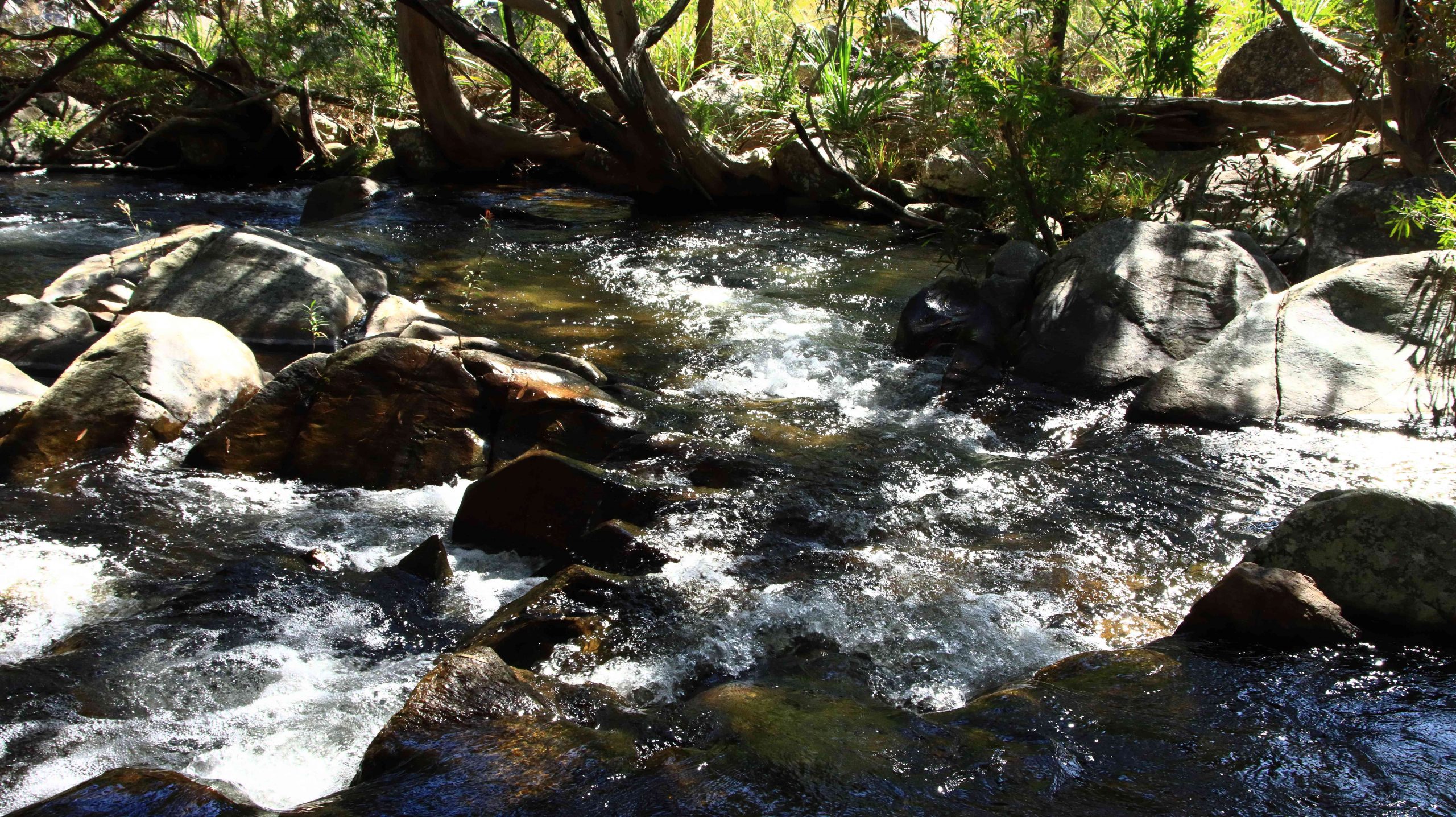
North Johnson River below where it emerges from the mountains
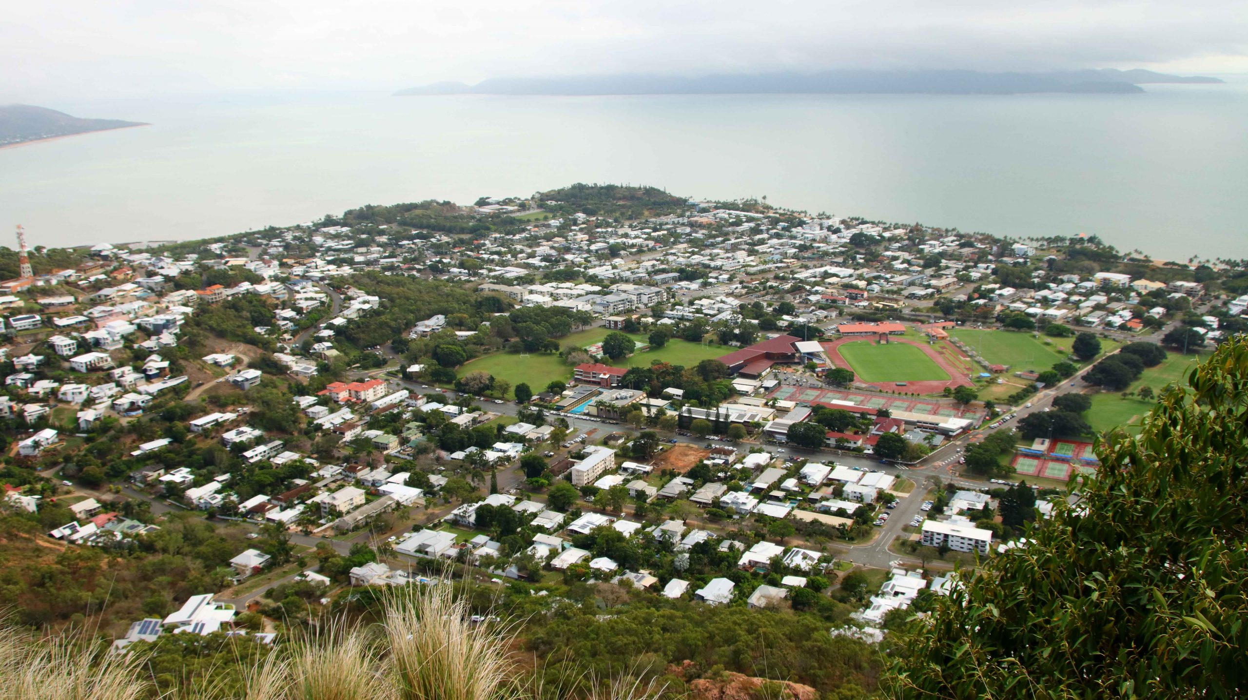
Next day, Tuesday, we had an uneventful trip to Townsville with breaks to view the one place where the North Johnson River Innisfail, coffee at North Innisfail and the Hinchinbrook lookout. We stopped for lunch at Ingham before heading to our Townsville accommodation, one block back from The Strand. We had views of The Strand area and out to Magnetic Island.
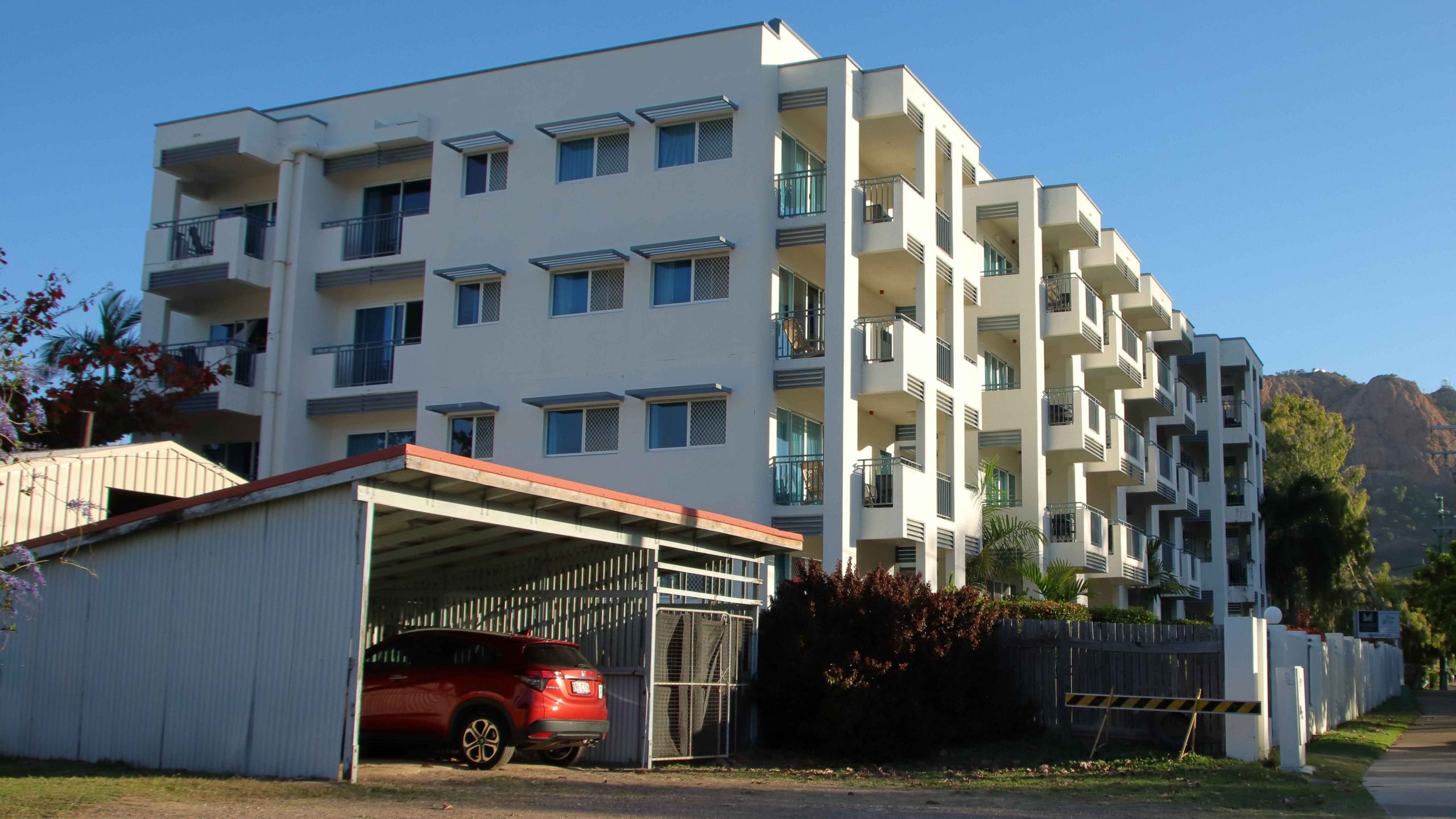
Madison Seabreeze Hotel, our Townsville accommodation
Smoke driftinf from Palm Island
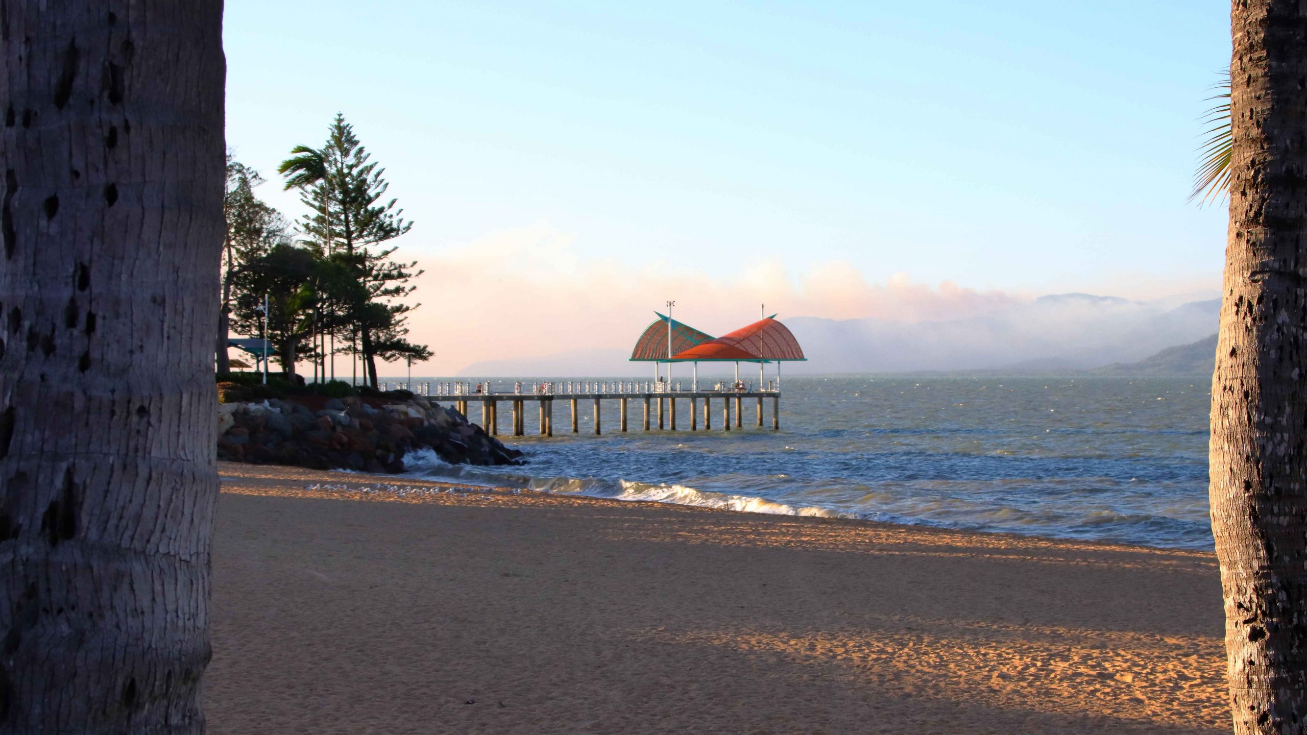
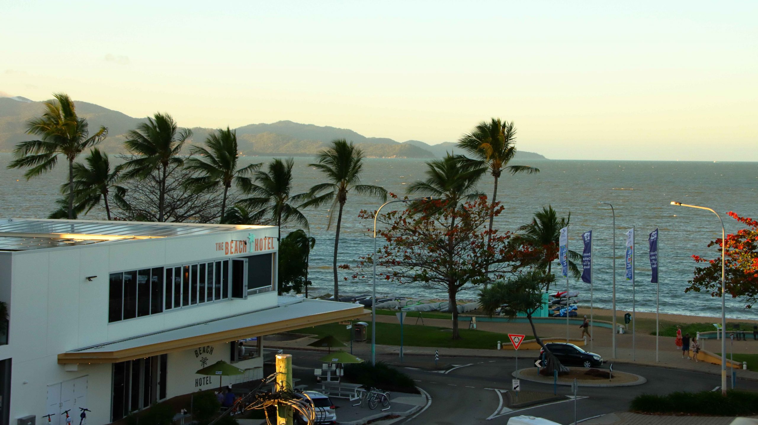
The Townsville Strand Pier
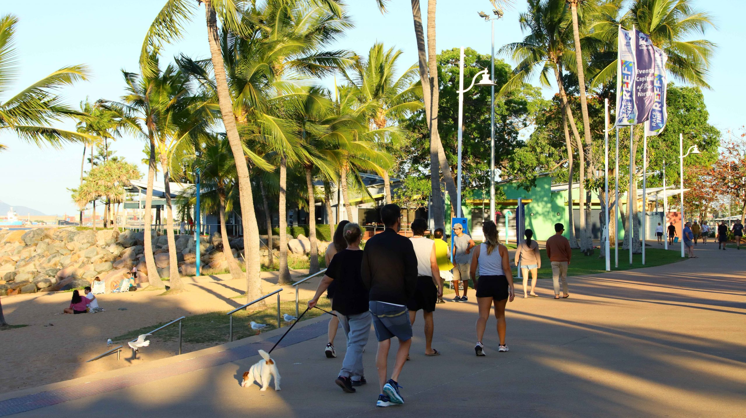
I took a stroll to The Strand and did my daily walk, in company with some of Townsville’s early evening walkers. I stopped to take photos while most other walkers just walked. We were all enjoying a pleasant evening.
Promanading Towsnsvilllians
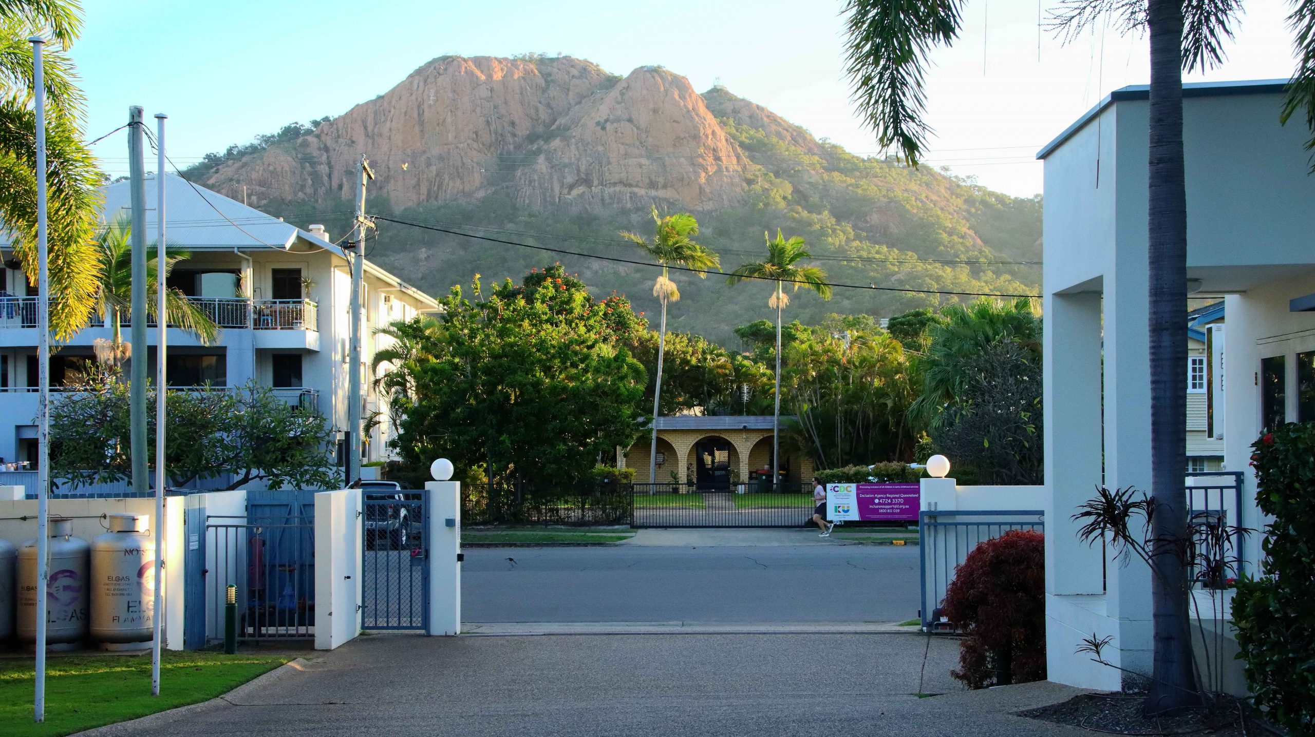
Castle Hill from our hotel driveway
The Strand from our balcony
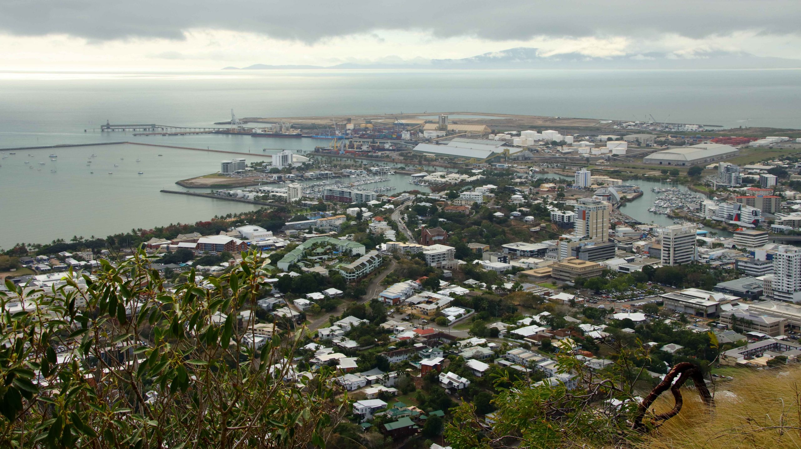
Cloud cover over Magnetic Island
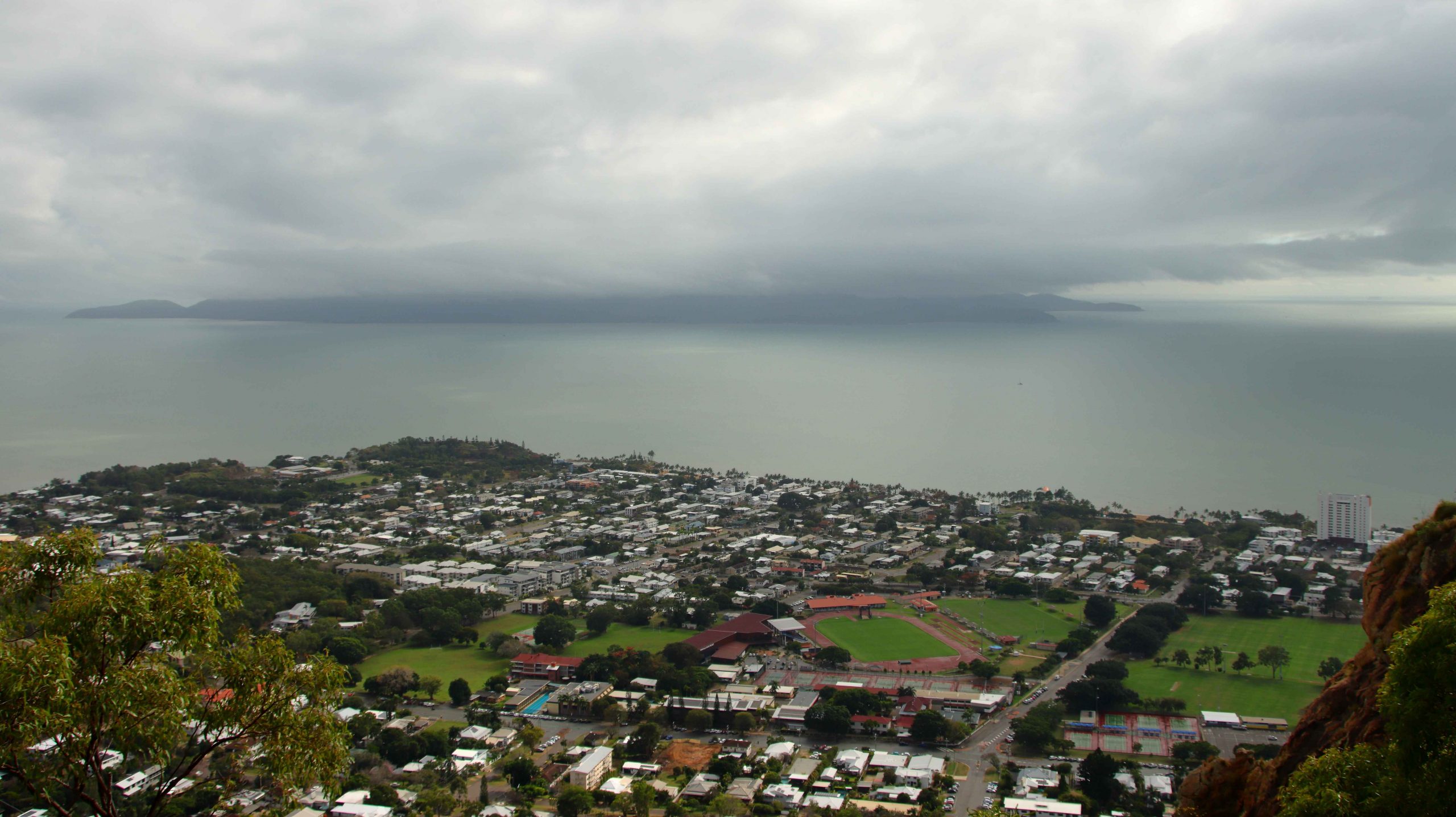
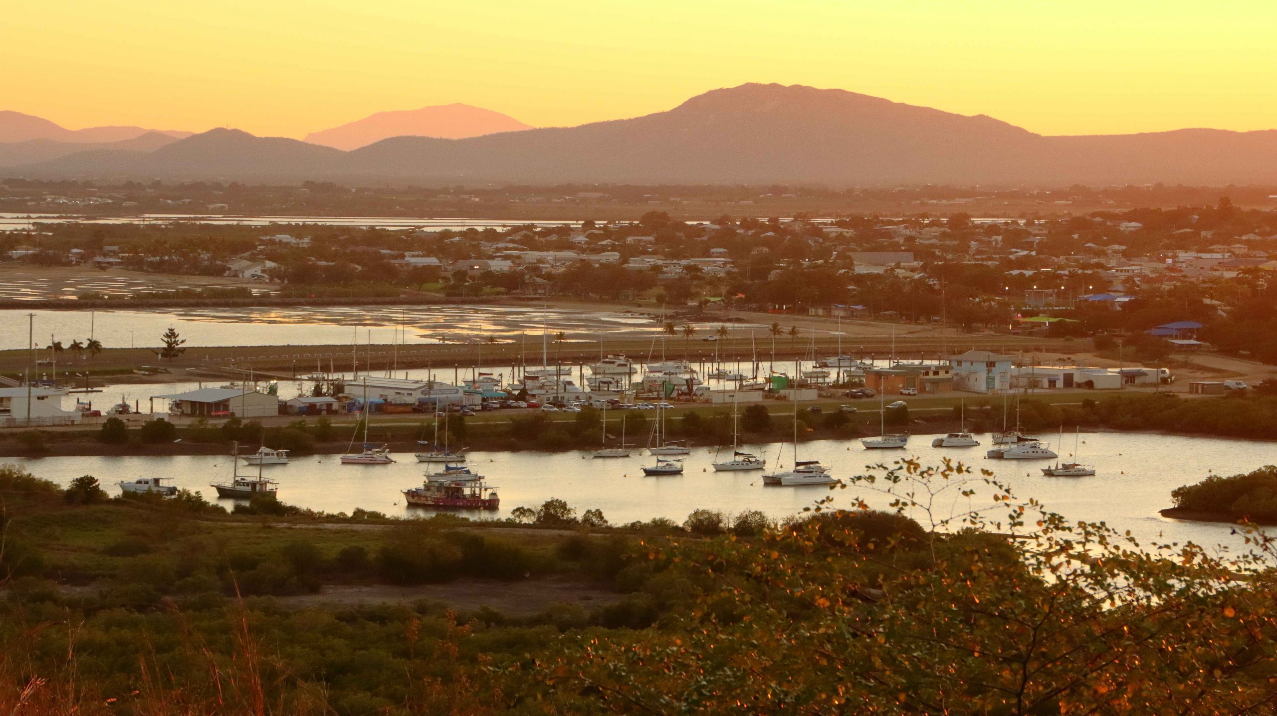
Townsville City & Port
Wednesday dawned with total cloud cover and a ground mist. As we were packing, a light shower drifted in from the ocean temporarily obscuring Castle Hill. As the lookout at the top of that huge pile of rocks was our first objective for the day, we watched with mild anxiety, but good luck prevailed. By the time the we checked out and set off the rain had cleared and some lighter areas of cloud were starting to show.
North Ward and the northern end of The Strand
The summit of Castle Hill was quite clear and reasonable for visibility and photos, although there was still rain falling to the west. The overnight rain had extinguished a large grass fire on Palm Island that had been sending huge clouds of smoke over the area north of Townsville and if still burning would have made photography problematical.
Traffic on the Bruce Highway was the heaviest that we had experienced south of Townsville, with constant traffic going north. But we still made good time. We made ourselves a cup of coffee at Brandon, just north of Ayr. South of Home Hill we drove the steep road to the picnic area at the summit of Mount Inkerman.
The mouth of the Burdekin River from Mount Inkerman
Last time that we made that drive we had to leave the caravan at the bottom beside the road. Drought prevailed and everything was brown and burned. This time greenery stretched to the horizon inland and to the Coral Sea to the east.
Departing cruise ship
We called at Bowen for lunch and made it to our unit at Whitsunday Terraces at Airlie Beach by mid-afternoon.
Sunset over the hills behind Airlie Beach
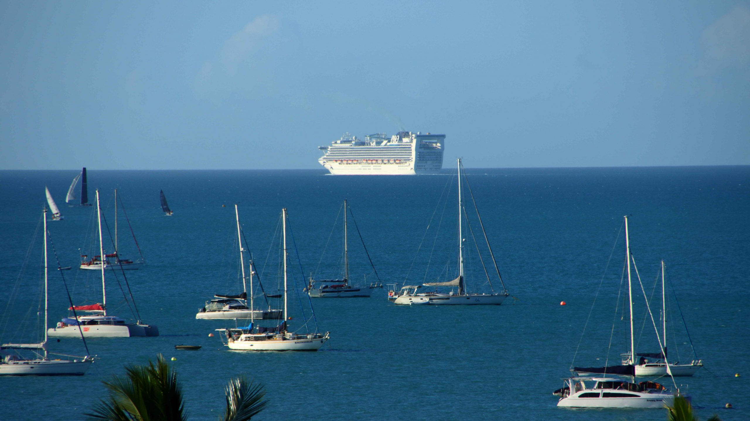
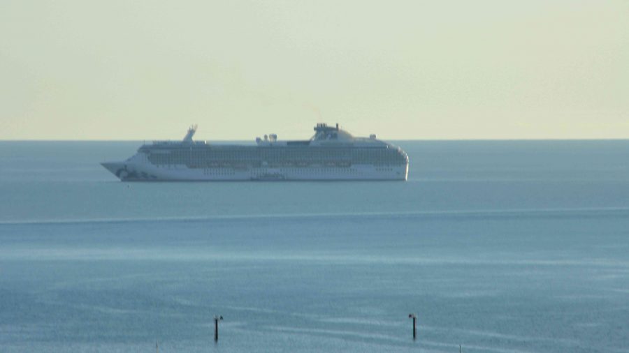
We had booked to ensure a view, and while our accommodation was not as elevated as on our previous visit, we still had great views of the town, Whitsunday Passage and the many boats at anchor outside of the harbour. Beyond the boats was a P&O cruise liner, at anchor waiting for the return of day tripping passengers. With not too much daylight left passengers were soon boarded and the ship weighed anchor and commenced its overnight cruise, disappearing from view to the north west.
The sunset was a great display of colour. I pleasing end to the day.
In the days before we set off for Far North Queensland, my Facebook news feed had regularly thrown up tourism advertisements from Rockhampton tourist authorities promoting the magnificent views available from the lookout at Mount Archer and a tree top walk on the same mountain top. That all sounded good, so after a short drive along the banks of the Fitzroy River on the South side, we crossed the river and took the road to Mount Archer.
Much of the mountain is a national park, the boundaries of which commence at the bottom of the hill. Like most national parks the roads have a 40-kph speed limit. We were immediately behind a tourist bus which was climbing the mountain at 20-kph. The road is very winding but after a while the bus driver signalled us past and we were able to return to the speed limit.
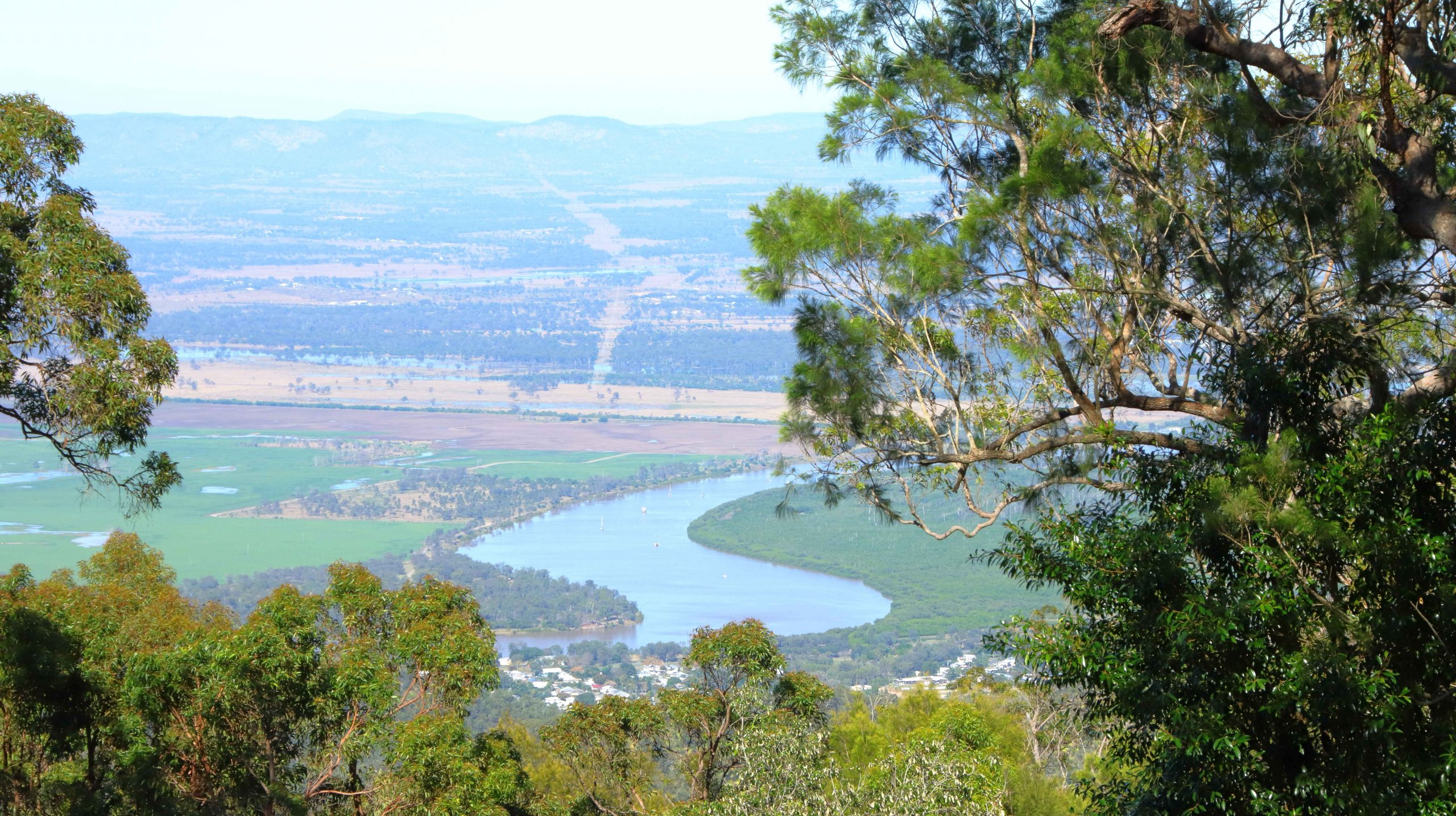
A limited view of the Fitzroy River from Mount Archer
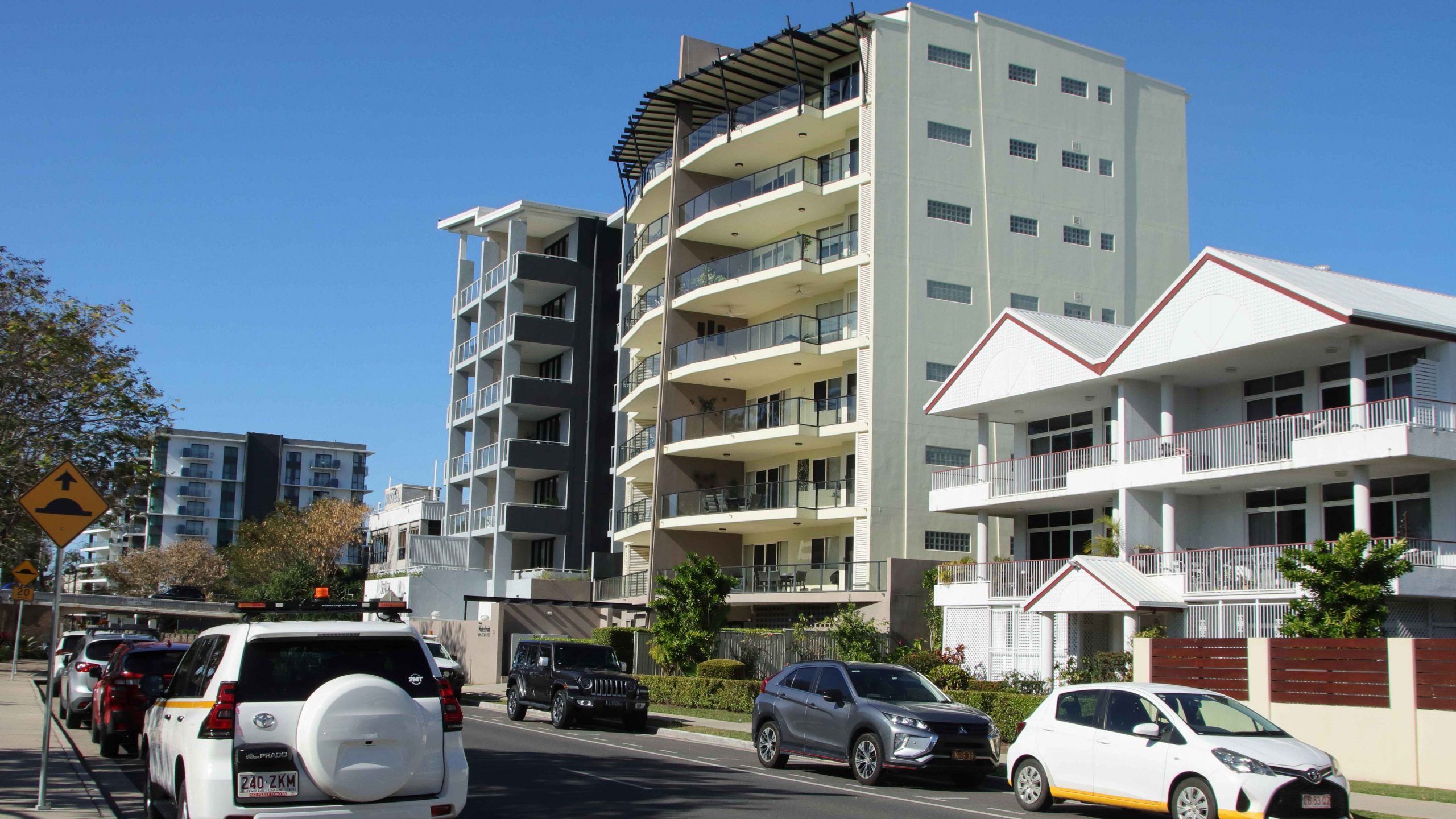
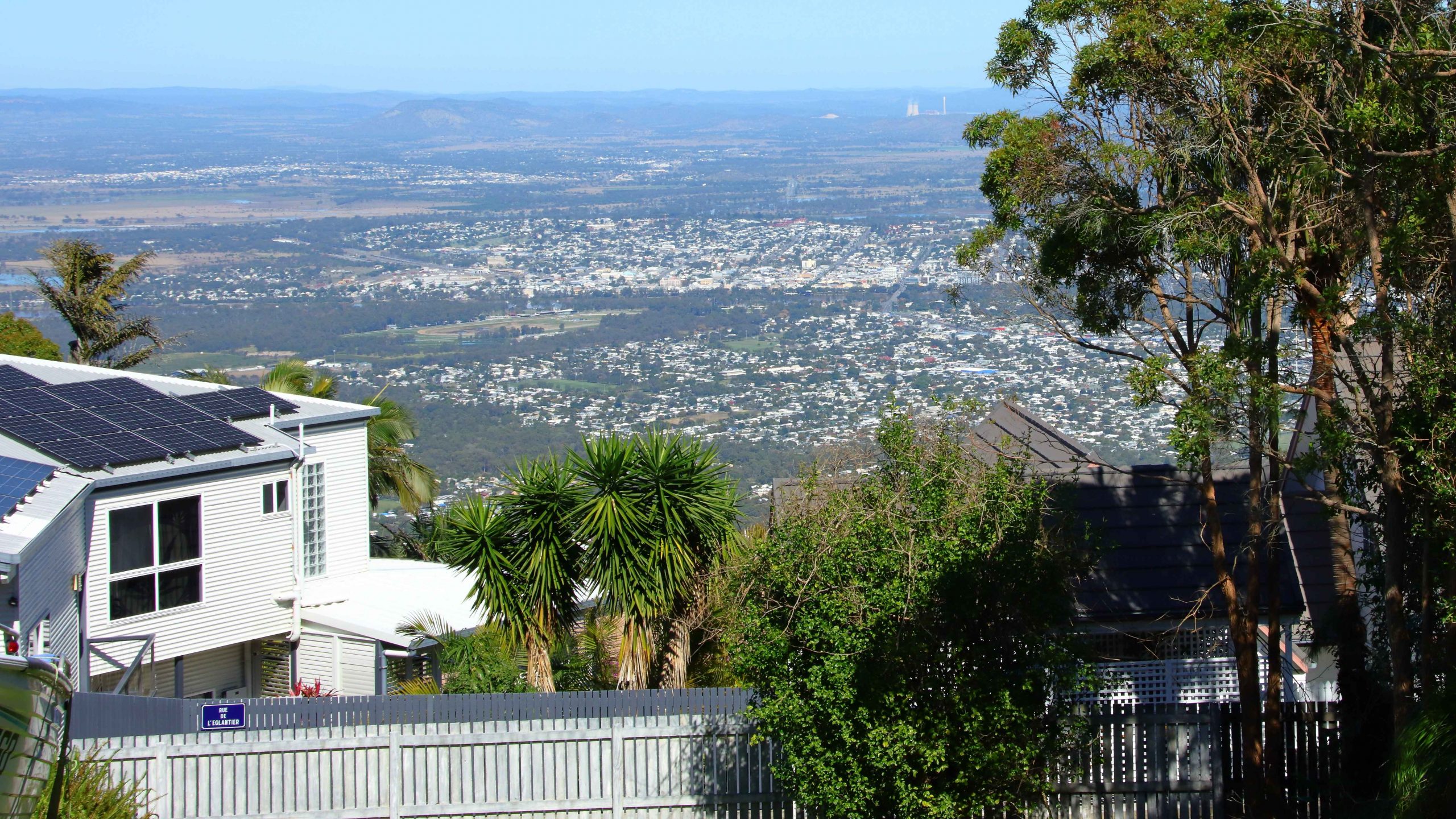
Rockhampton from the neighbouring residential area
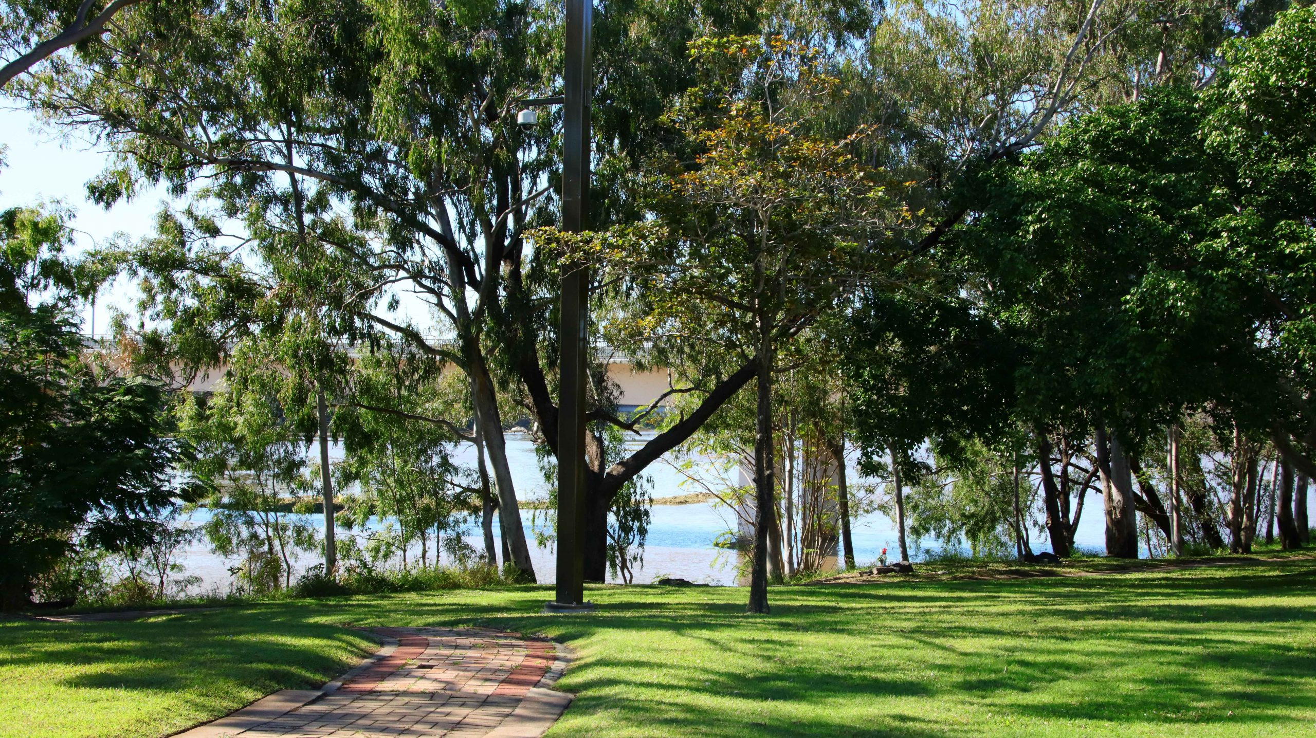
Parkland by the river near Rockhampton CBD
We reached the summit, but what a disappointment! When the lookout was first built the views probably were spectacular. But it seems that the influence of Green councillors has precluded trimming of the trees, to the point where they obscure most of the view. One of our fellow visitors was lamenting that he had not brought his chain saw,
Public area at Mount Archer
Of the treetop walk we could find no sign, nor any mention of it on the signage at the park entrance. The best views are to be had from the small area of residential development that shares the mountain top with the national park and enjoys permanent spectacular views.
Our Bowen cabin with our car parked at the front stairs
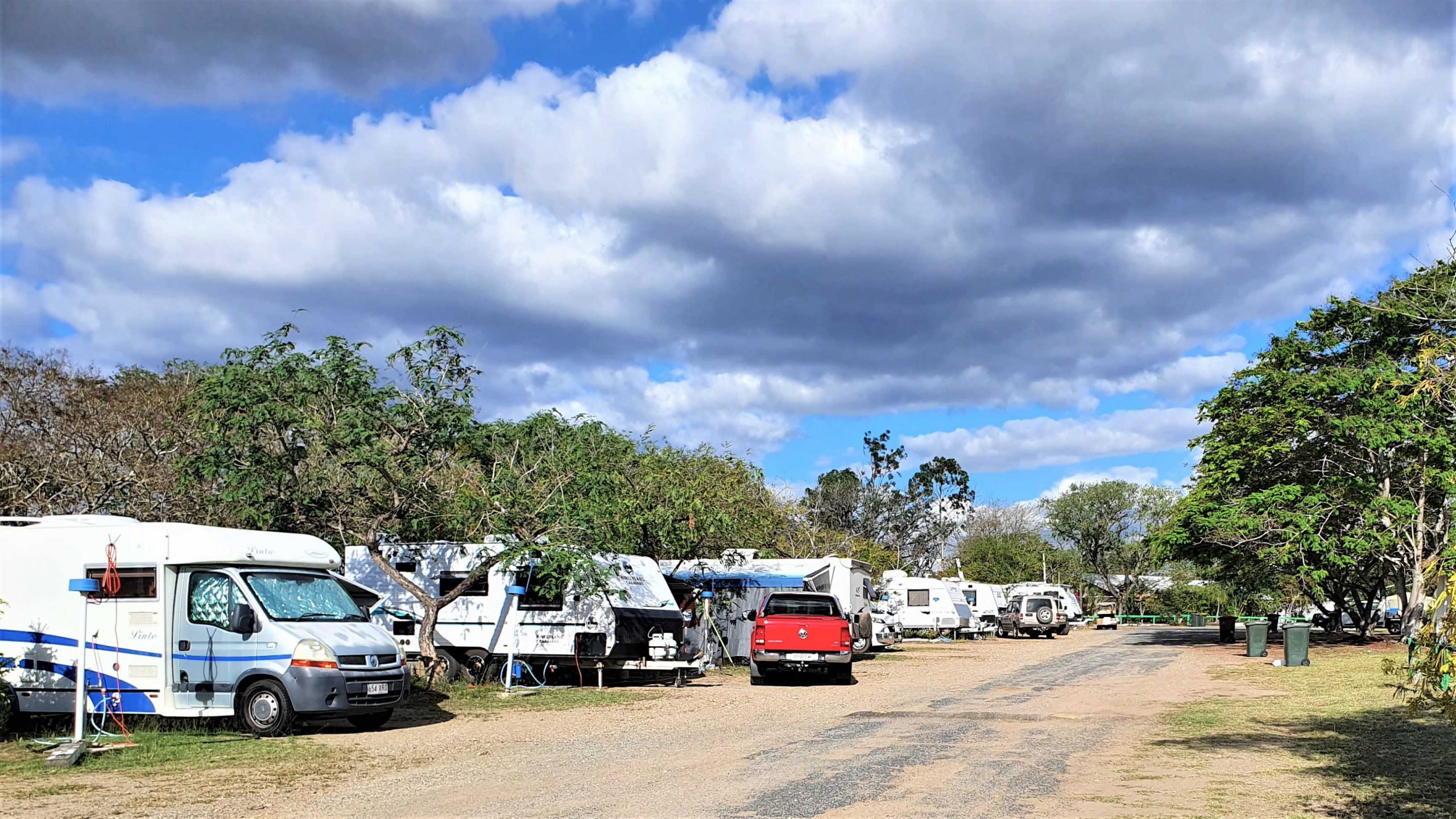
We had booked a caravan park cabin in Bowen for two nights. It was a while since we had spent much time in Bowen, which is an attractive regional centre, with some excellent tourist facilities. The cabin was in good condition, fairly new and comfortable. It was located at the Queen’s Beach Tourist Village, which was packed with grey nomads.
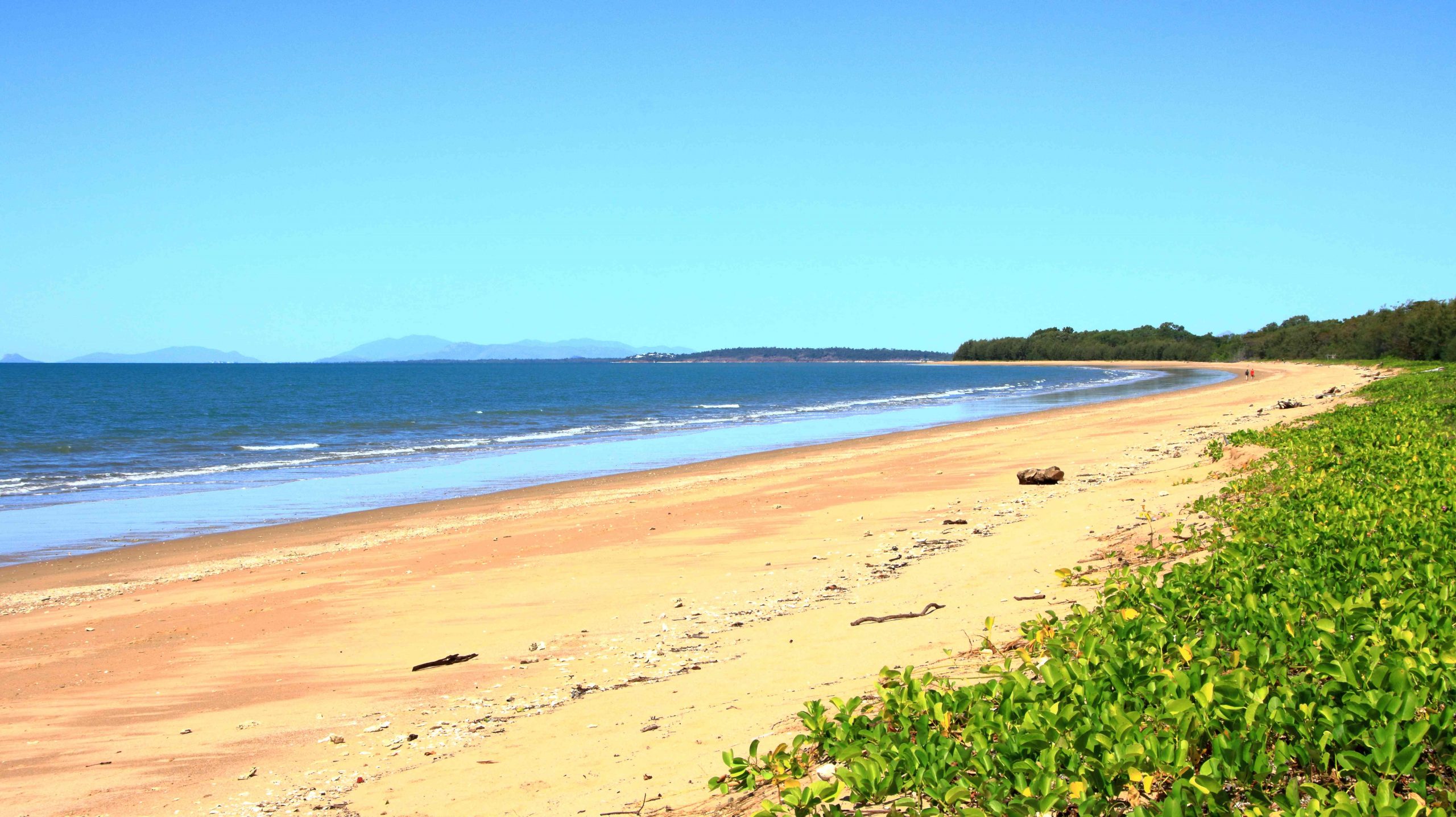
Bowen is located on a peninsula and has both a northern and southern aspect. Horseshoe Beach at the north-eastern tip provides an easterly aspect as well.
Near the mouth of the Don River
Kings Beach between Horseshoe Beach and Flagstaff Hill
Coral Cove at the North-easterly tip of the North facing beaches
On the day we had available, we started at the mouth of the Don River and worked our way east to Horseshoe Beach and Rose Bay. The day was perfect and holiday makers were making the most of it. We made a quick call at Mullers Lagoon to check for bird life before visiting the main town centre. On our last visit here we still had a caravan and stayed at the caravan park by the harbour.
North Head Island Lighthouse marks the northern point of the entrance to Bowen Harbour
Finally, we drove to the summit of Flagstaff Hill for the views over the town and back south over the bay to Cape Gloucester and Gloucester Island, before returning to the cabin for lunch and a rest.
At about 4.00 PM we returned to Muller Lagoon for some bird photography and from there went back to Flagstaff Hill to watch the sunset from that vantage point. It wasn’t a great night for sunset colour, as there was almost no cloud cover to the west, but to watch the changing light on Bowen Harbour and the moon rise over Gloucester Island was not a bad substitute.
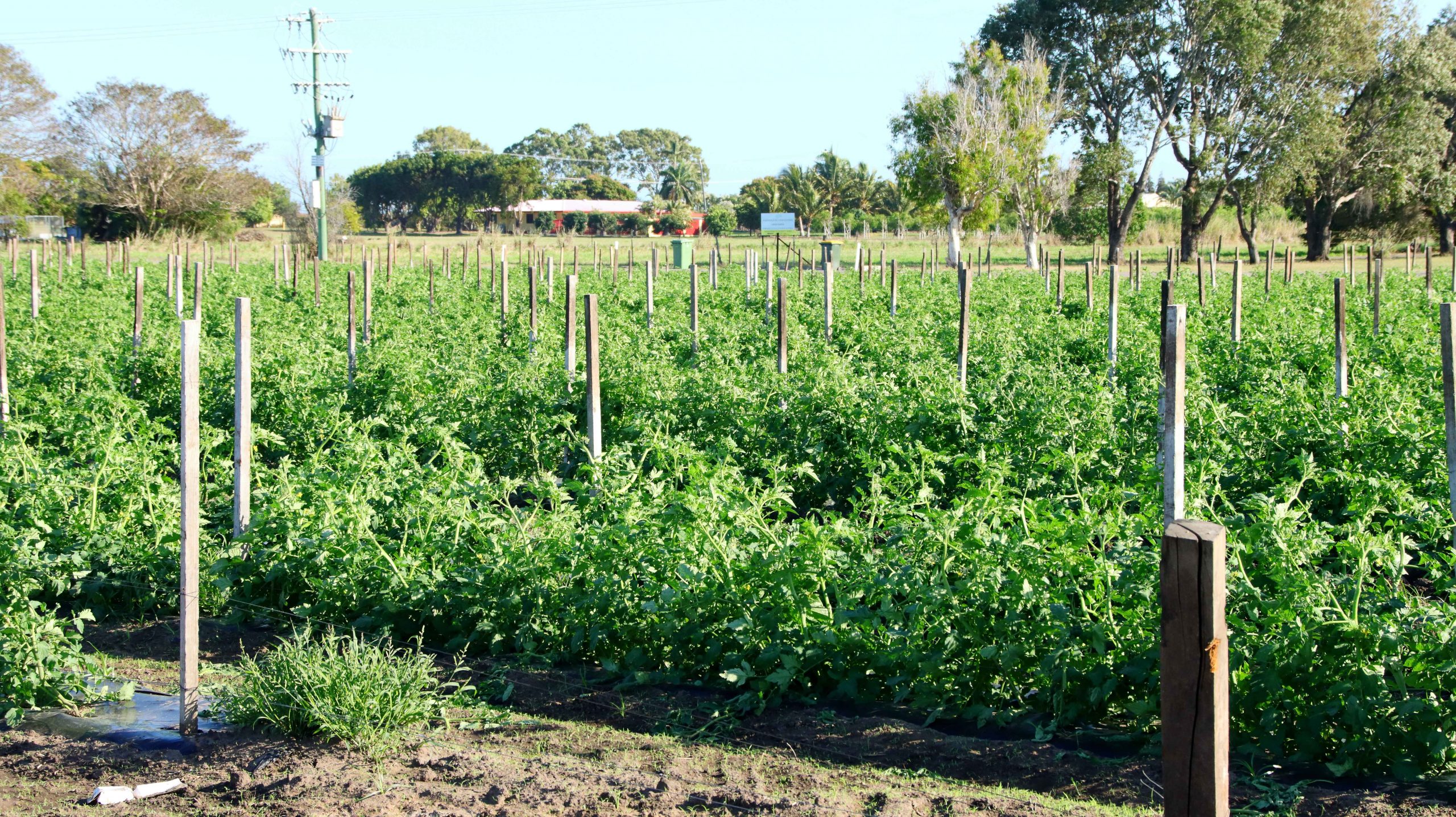
Tomato crop at a Bowen farm
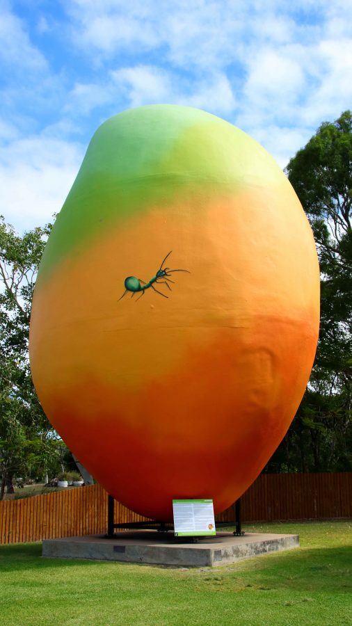
On successive trips north we have noticed the increase in horticulture and market gardens, that seem to be expanding around the larger towns and occupying some of the land formally used for sugar cane production. Bowen has mangos aplenty as indicated by the Big Mango at the southern approach to the town, but tomatoes are now very much in evidence. I wonder if we will ever see a Big Tomato at the entrance to the town.
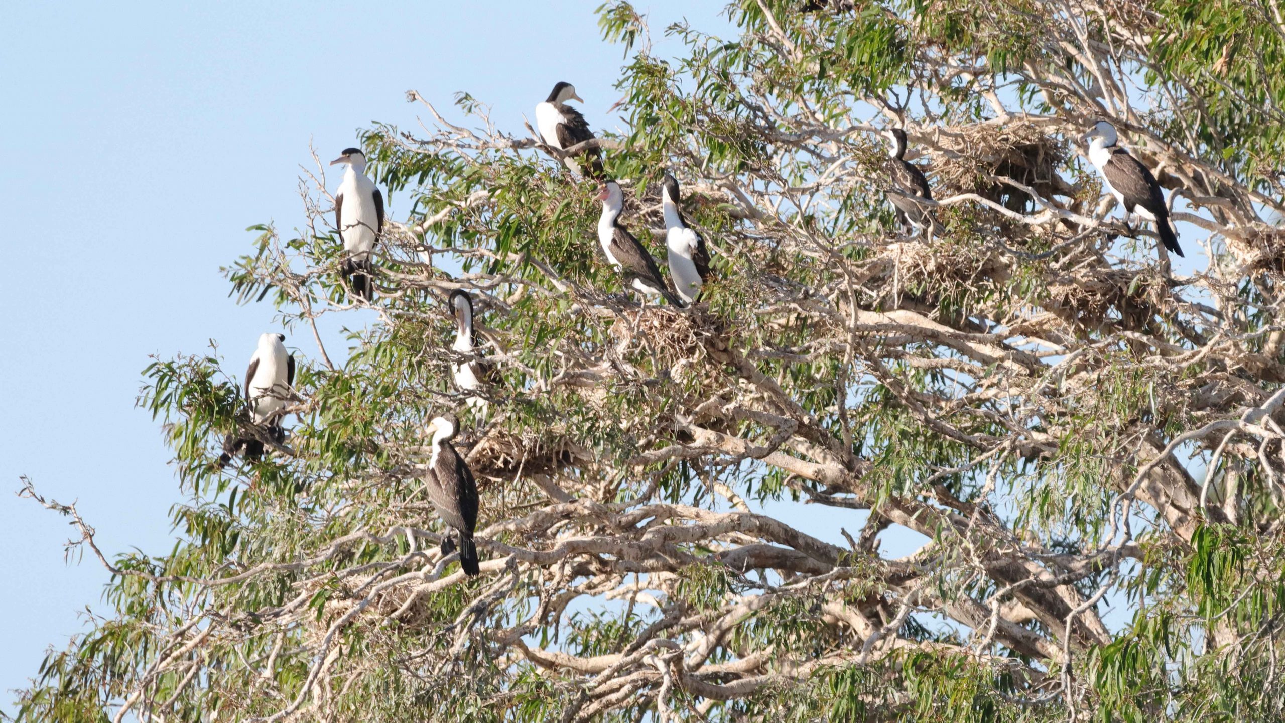
A nesting tree of Little Pied Cormorants
Bowen and Harbour in the fading light
The Moon rising over Gloucester Island
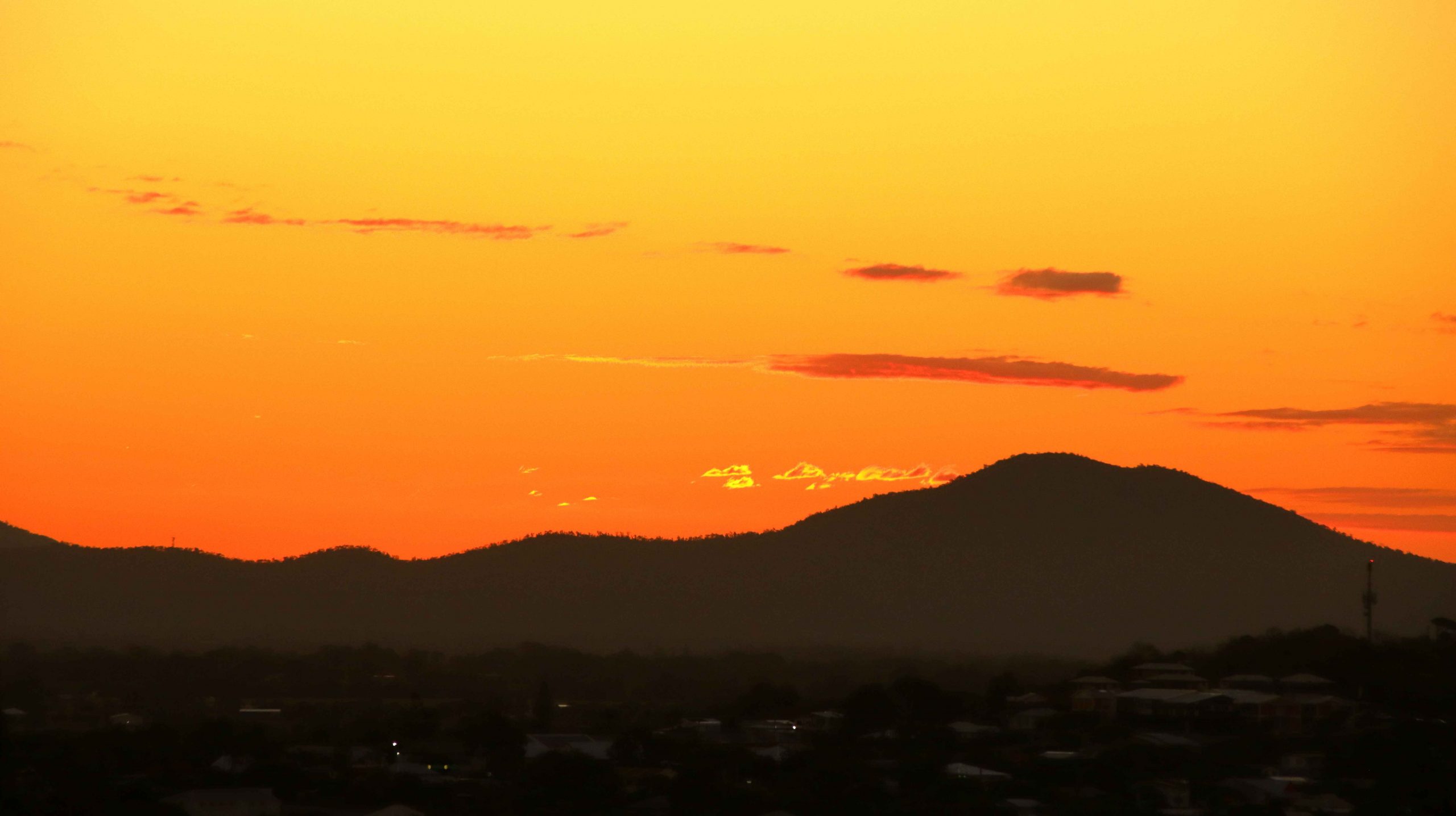
Sunset over The Great Dividing Range
Bowen is a coal town with many of its residents employed at the gigantic coal loading facility at Abbott Point, just 30 km to the north. In addition, I would think it an ideal location for fly in fly out employees in the mines of the Bowen Basin just over the range to the west. Perhaps drive in drive out as well.
The Big Mango is located at the Visitor Information Centre at the southern entrance to the town
On Tuesday morning we departed to Cairns under cloudy skies. By Townsville the sky had darkened and as we passed through Ingham and approached the mountains near Hinchinbrook Island, the rain started to fall in earnest. An umbrella was required to leave the car for lunch at Innisfail, during what was, according to the news, a 50 mm fall of rain.
Just south of Cairns the rain abated, but returned after we had settled into our motel unit in North Cairns. When it rains during holidays you just have to deal with it. The greater problem was that in booking I had failed to specify a ground floor room, so Ruth had to make it up fourteen steps. We dealt with that problem, for the four nights that we were there, by going out in the morning and returning at the end of the day, when all activities were done.
A video link appears at the bottom of this blog post.
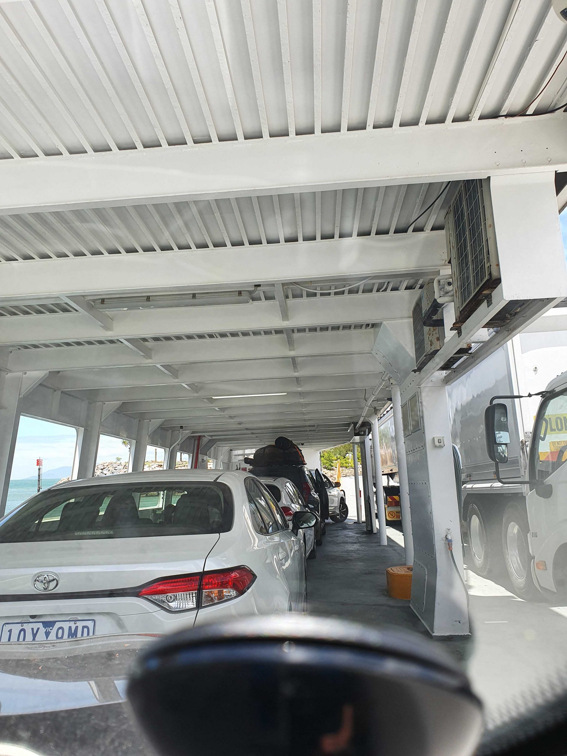
On Board the Magnetic Island Ferry
On disembarking from the Magnetic Island ferry, we headed directly to Bowen, pausing only for necessities and roadwork. We stayed at the Bowen Arrow Motel. Now, who could resist it with a name like that?
More roadworks south of Bowen. One 20 km strip with 15 km at 60 kph and the other 5 at 80 kph. Traffic was not heavy, so the drive was pleasant. The skies were partly cloudy with enough sprinkles at Proserpine to kick the automatic wipers into action for a swish or two.
We used the Mackay Ring Road for the first time. It completely misses the city, leaving the Bruce (north bound) at the BP truck stop south of town, runs west for about 3 km and then turns north to re-join the Bruce near Farleigh sugar mill. Three km at 80 kph and 8 at 100 kph. Saves a bit of time and city traffic.
Ferry Arriving at Nelly Bay.
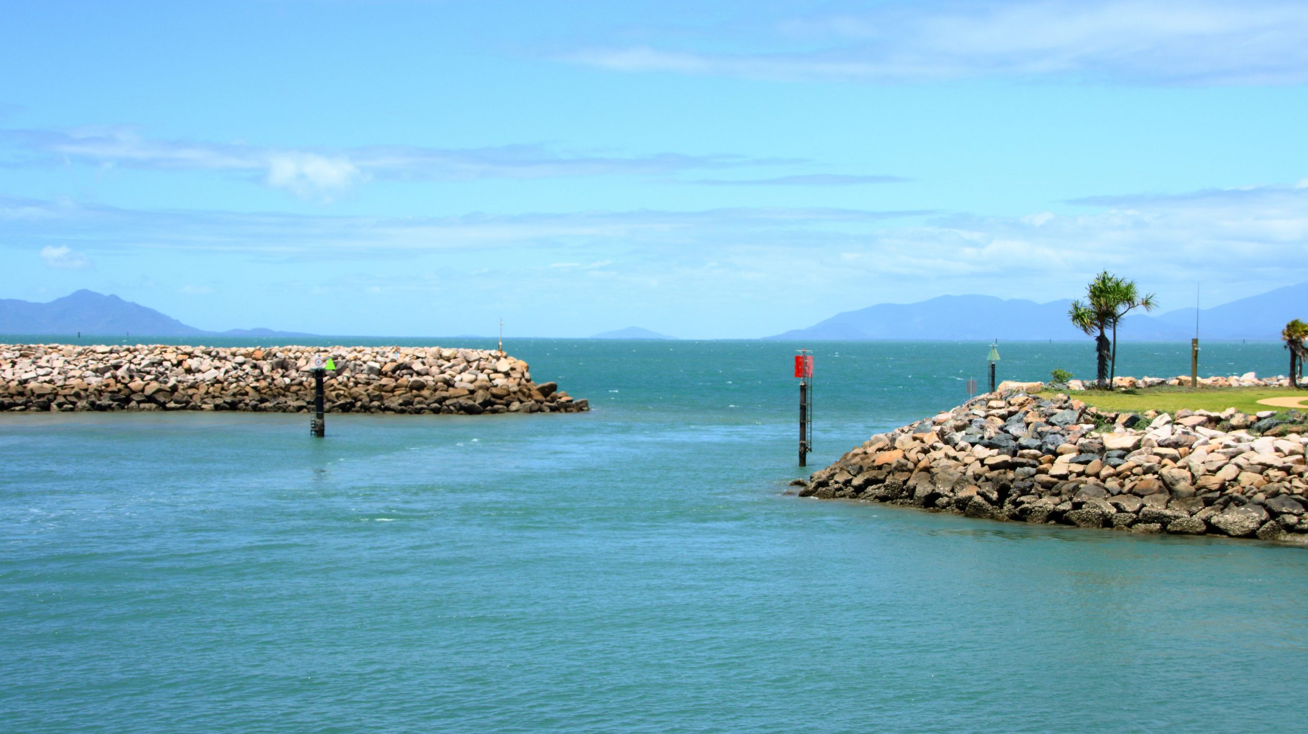
Nelly Bay Harbour Entrance from Inside.
If you break a Bowen to Brisbane trip into three days travel, then Marlborough is where you end up on the first night. We have stayed there in the caravan, but never used the motel. It is dated, perhaps bit tired, but so are we. But we had a comfortable night and a good meal in the restaurant. There are also workers camps on site, so they get good patronage from camp occupants.
Our Lunchtime View at Clairview.
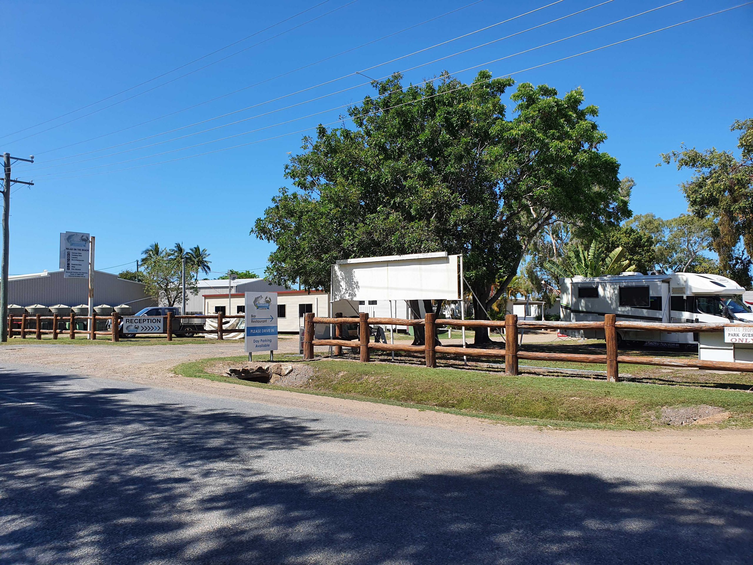
BarraCrab Caravan Park at Clairview.
Caravans at Marlborough Motel & Caravan Park.
We stopped for lunch at Clairview. The caravan park has grown and is now called the BarraCrab Caravan Park and boasts a bistro and bar. But we ate our sandwiches seated in a picnic shelter overlooking the Coral Sea….with the tide out.
The final two days of our trip were just more driving but keeping daily distance to about 400 km. We did morning coffee at a pie cart at the south of Rockhampton.
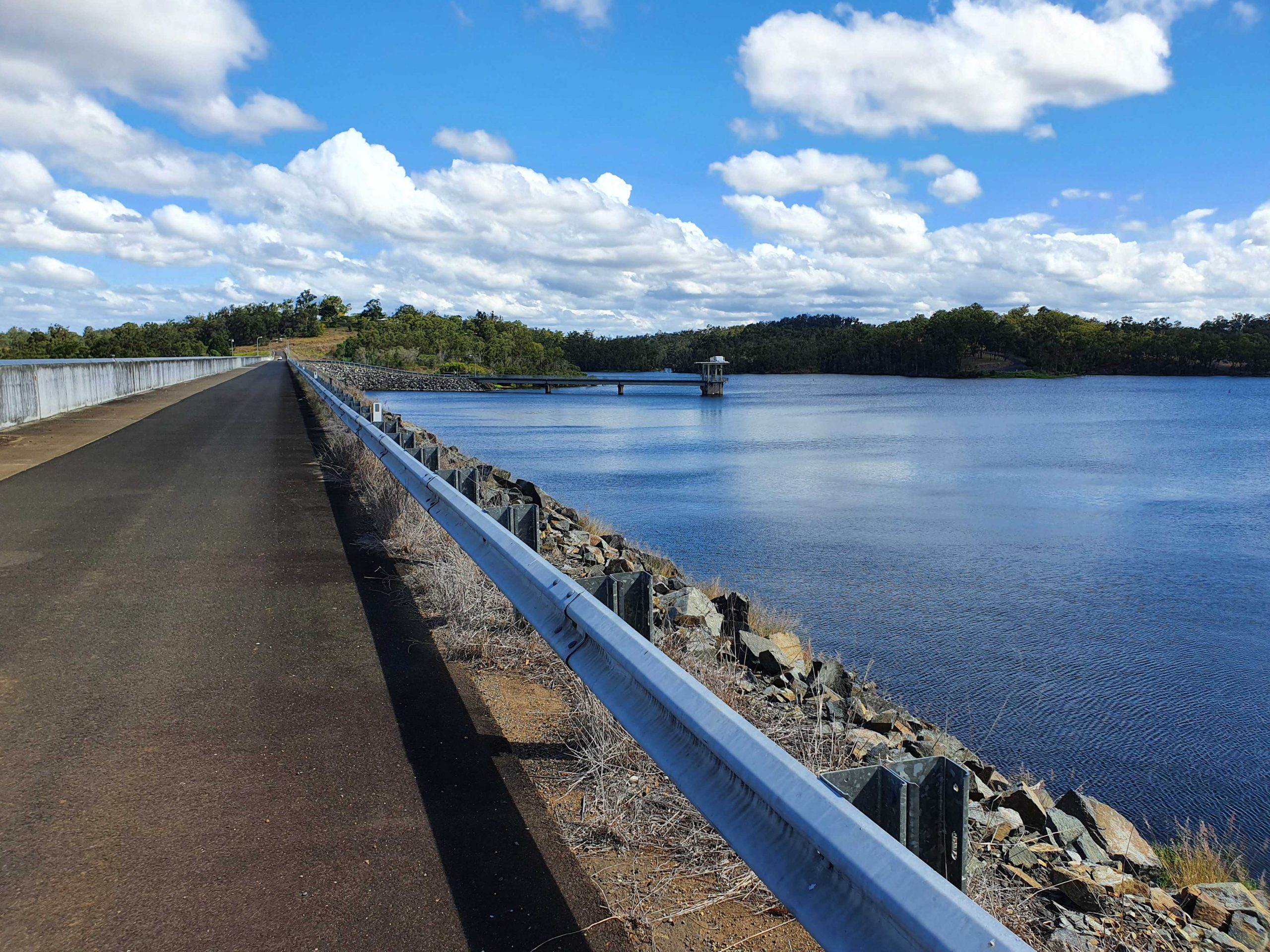
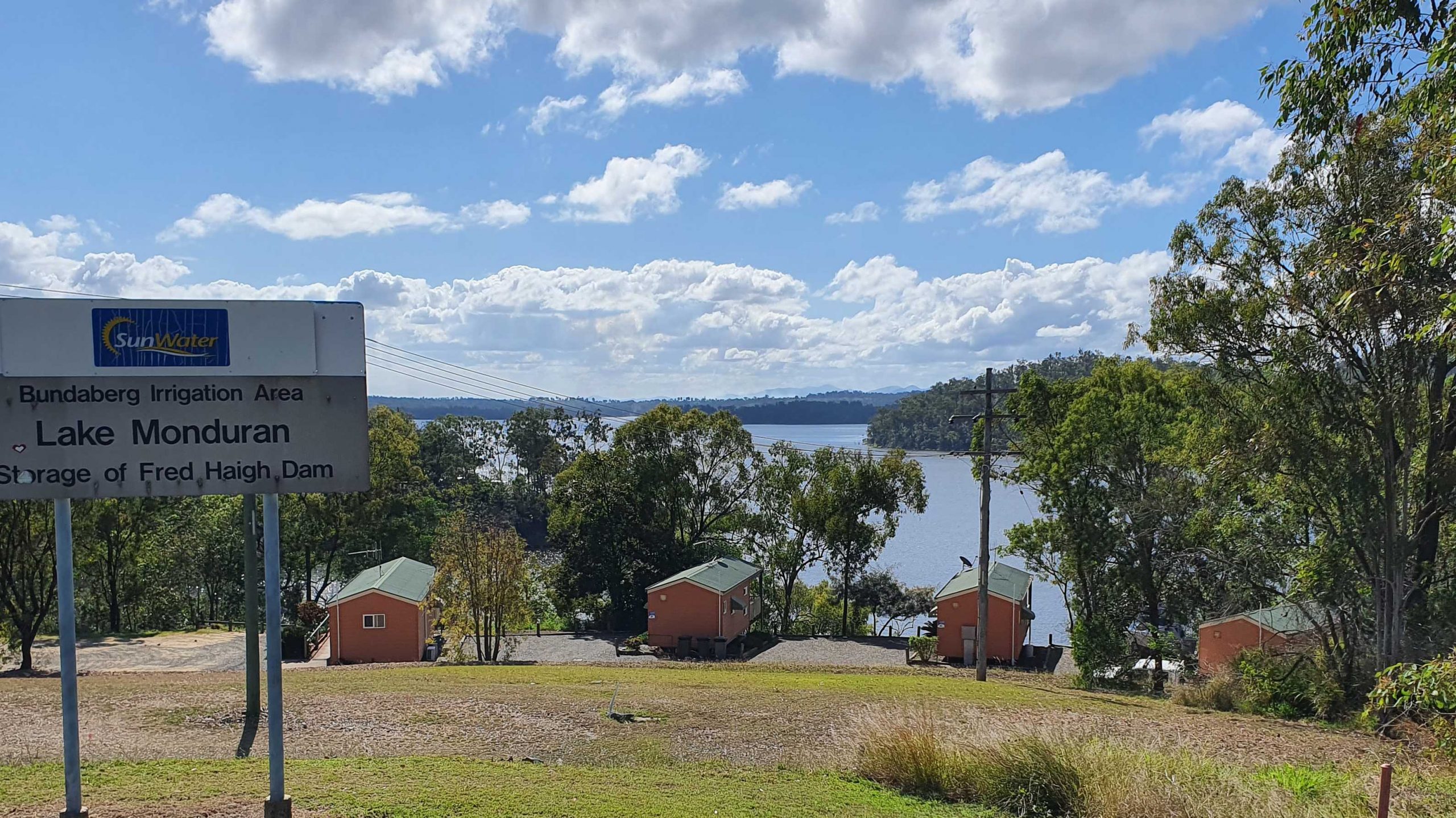
We turned off at Fred Haig Dam, just north of Gin Gin. This dam holds back the waters of Lake Monduran. It supplies irrigation water to Bundaberg primary producers. We had spent a night there about 12 years ago. It has a good caravan park, built below the retaining wall and patronised by Barramundi fishermen.
We spent Saturday night at Childers in a pleasant motel on the southern end of town. Childers proved to be the start of cool wet weather. We had intermittent rain all the way home.
A View From the Top Deck of the Ferry.
South of Maryborough, in fact south of Tiaro, a sign by the highway advises of a tourist drive through Bauple. We have both seen and ignored it many times. But this was the day that we finally succumbed to curiosity and took the drive.
The Retaining Wall at Fred Haig Dam.
Bauple is a small, old town but that is about all. Not much there but we did see a sign advising of a “bypass meeting” which suggests that the highway diversion around Gympie might just be diverting through Bauple. We didn’t stop for photos
It was too wet for a picnic morning coffee so we called at The Coffee Club at Gympie. This store of TCC has about the best range of cakes of any and seems to be a popular meeting place for Gympieites. It is always busy.
We arrived home at about 12.30 pm and got on with unpacking. Another successful trip under our belt, despite being interrupted.
Guest Cabins Overlook Lake Monduran.
Thanks, Ruth, for agreeing to being dragged around the bush again. I am never so happy as when I am driving down another remote country road, in pursuit of another bit of Australiana. Ruth knows that you can’t take the bush out of the boy. Even when he has become an old boy.
Part 2 –North to Port Douglas via The Atherton Tablelands
Note: A video link appears at the bottom of this blog post.
Coral Princess lying off Airlie Beach.
When you have a view like we did at Airlie Beach, the first thing that you do when you get up of a morning is open the blinds. We opened our blinds on Sunday morning and there in the middle of our view was the Coral Princes, in port for a visit. Our friends Jim and Frances Weir were on board, but we were gone by the time that they come ashore.
Sunday was one of making distance up the coast. Our Sunday night overnight stop was at Innisfail. The sun shone on us all day. We struck some low-lying fog both on land and over the bay as we approached Bowen, making slower progress than we had hoped as we coped with the long slow kilometres of roadworks. Almost the entire length of road from where we entered the highway just north of Proserpine to Bowen, was limited to 60 and 40 kph with a few areas of 80 kph.
Balgal Beach. The view goes all the way to Magnetic Island and Townsville.
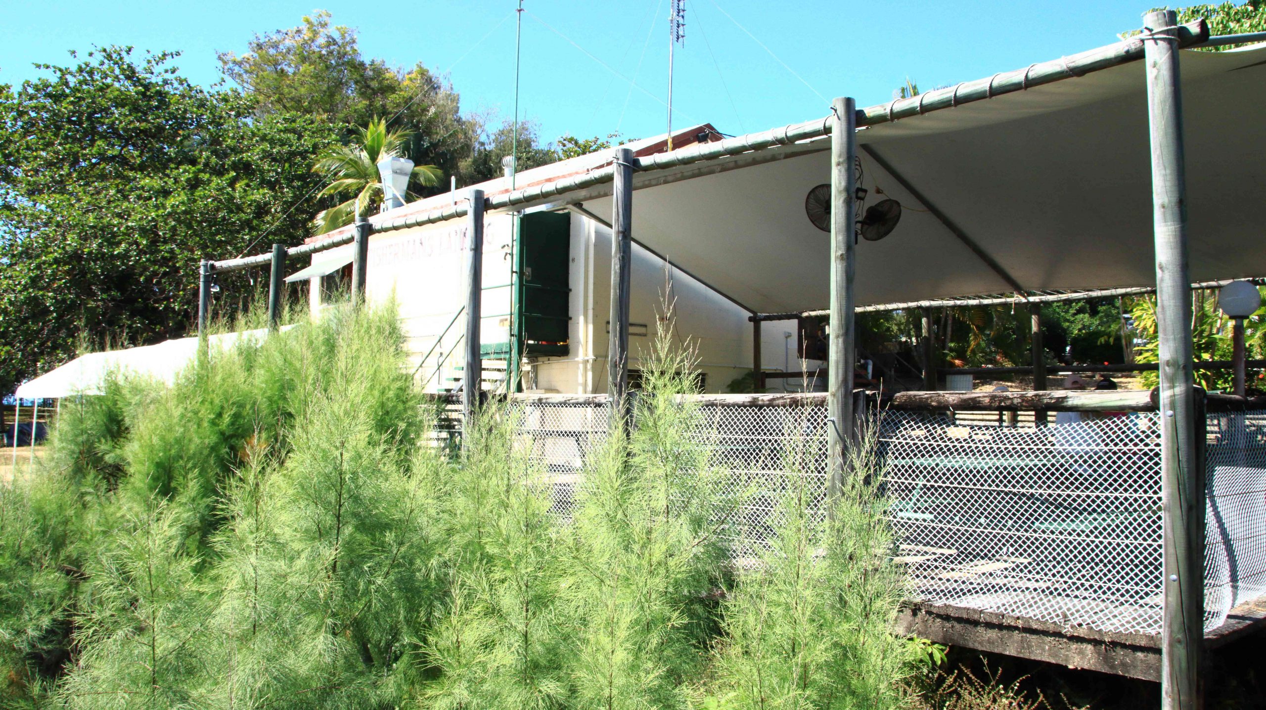
The run for the rest of the distance to Innisfail was much better, but still with a lot of areas of road works. We bypassed Townsville on the convenient ring road, as you do now, but called in a Balgal Beach. near Rollingstone. We knew where we could get near the beach for lunch, from previous visits.
Fisherman’s Landing at Balgal Beach. The restaurant overlooks the jetty where fishing boats dock.
The mountains northwest of Innisfail
We had a quiet night in Innisfail. The motel was right in town but quiet. All we wanted was somewhere to eat and sleep.
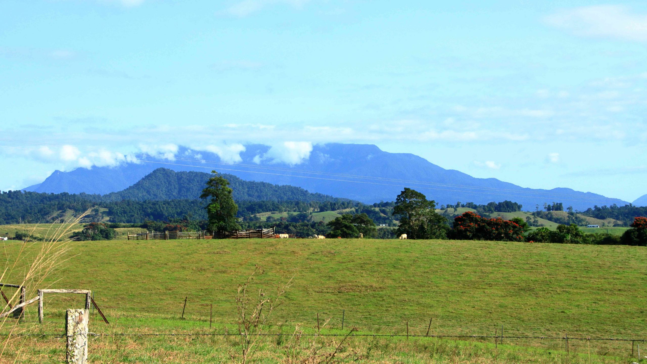
A cap of cloud was sitting on the top of that mass of mountains to our north as we left Innisfail. The mountain ranges inland from the coast are home to Queensland’s two highest mountains, Bartle Frere at 1,611 metres and Bellenden Ker which reaches a height of 1,593. At those heights they and the surrounding ranges rise well above the Atherton Tablelands, to which they provide a backdrop to the east.
The drive from Innisfail ascends some steep grades but on a good road. When you reach the edge of the Tableland the height gain from the coast is obvious. The first town is Millaa Millaa, but first you will see signs that point to a drive that leads you past four waterfalls, before returning you to the main road. We have done this drive before but did it again before stopping for coffee at the park in the main street. The town has a couple of good café/coffee shops as well.
Zillie Falls on the Falls Circuit near Millaa Millaa.
Millaa Millaa Falls also in the Falls Circuit.
The mountain ranges viewed from Millaa Millaa Lookout.
We then crossed to Herberton to look at the tin mining museum. Soon after you leave the town of Millaa Millaa, you reach a steep ascent. Just before the summit, a left-hand turn takes you to a lookout which, unsurprisingly is named Millaa Millaa Lookout. Equally predictably the lookout provides fine views back over Millaa Millaa and the ranges nearer to the coast. We were greeted on our arrival by some domestic hens.
Mining machinery and buildings at Herberton Mining Museum.
There is much to see at the Herberton Museum, particularly for those with an interest in old machinery and historic mines. You could spend quite some time there if that were the direction in which your interests lay.
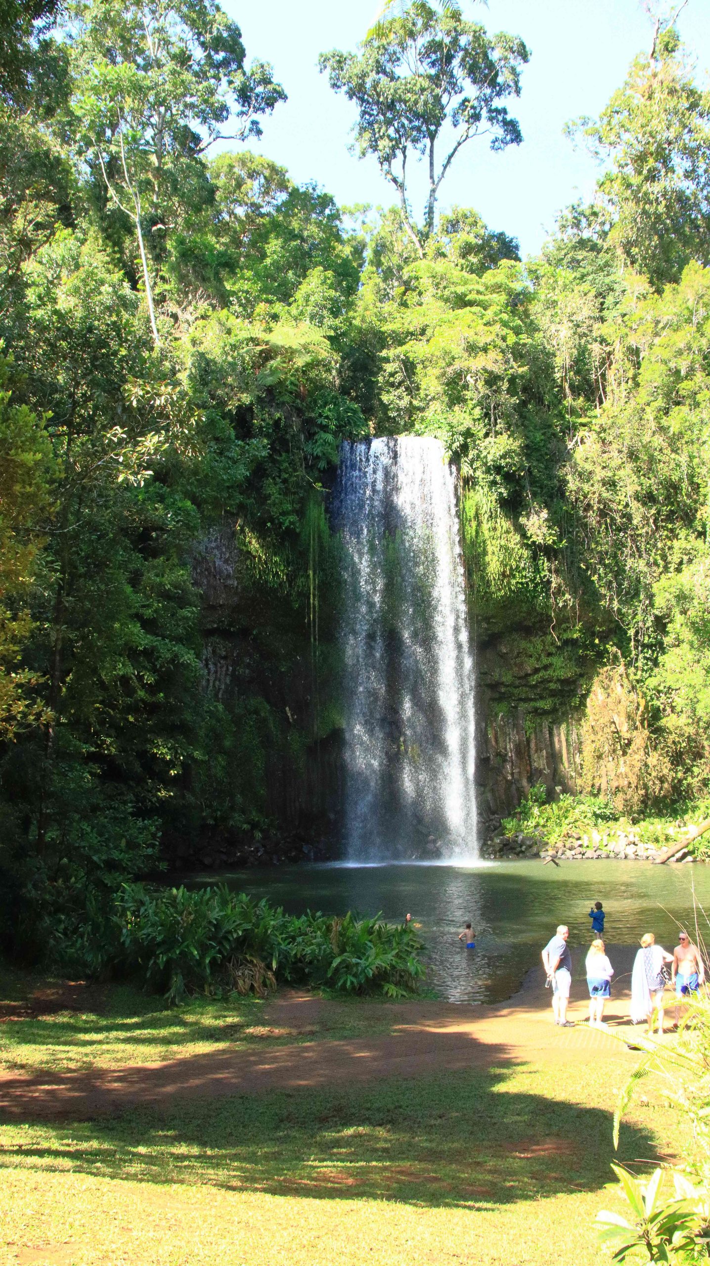
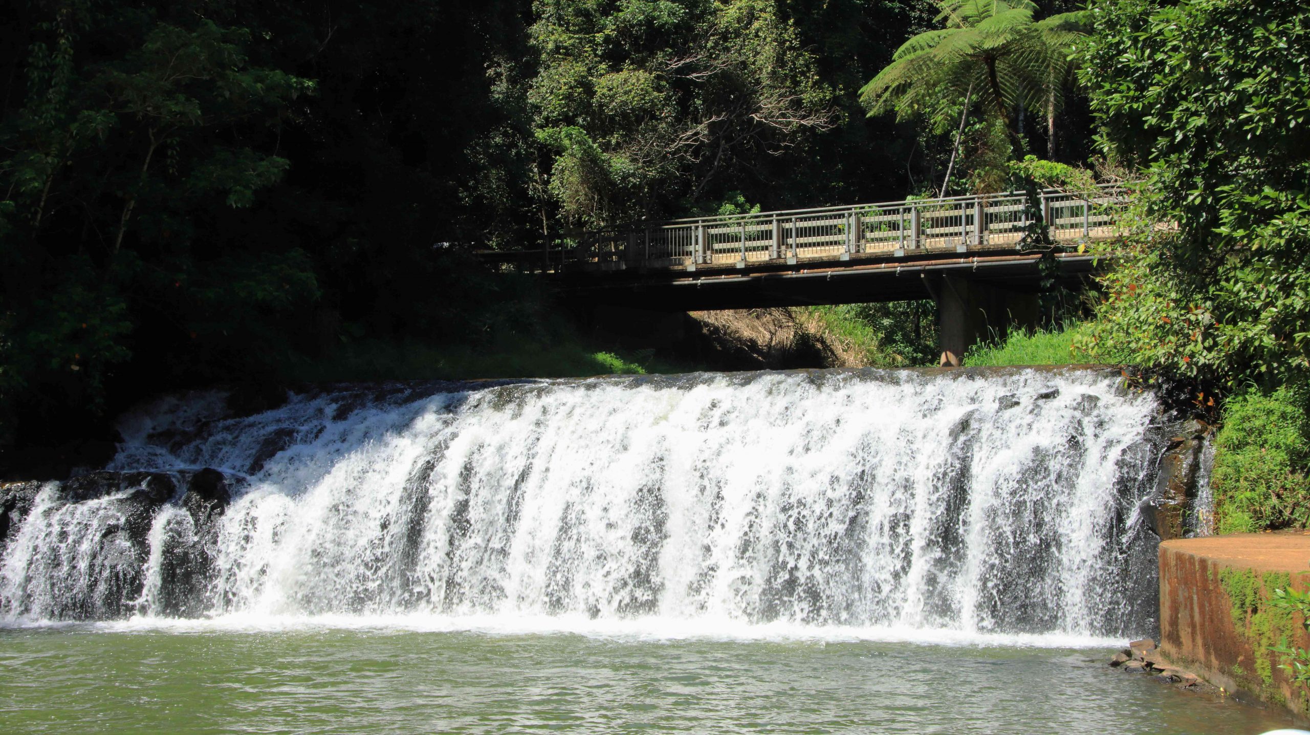
Malanda Falls is located in parkland near the town.
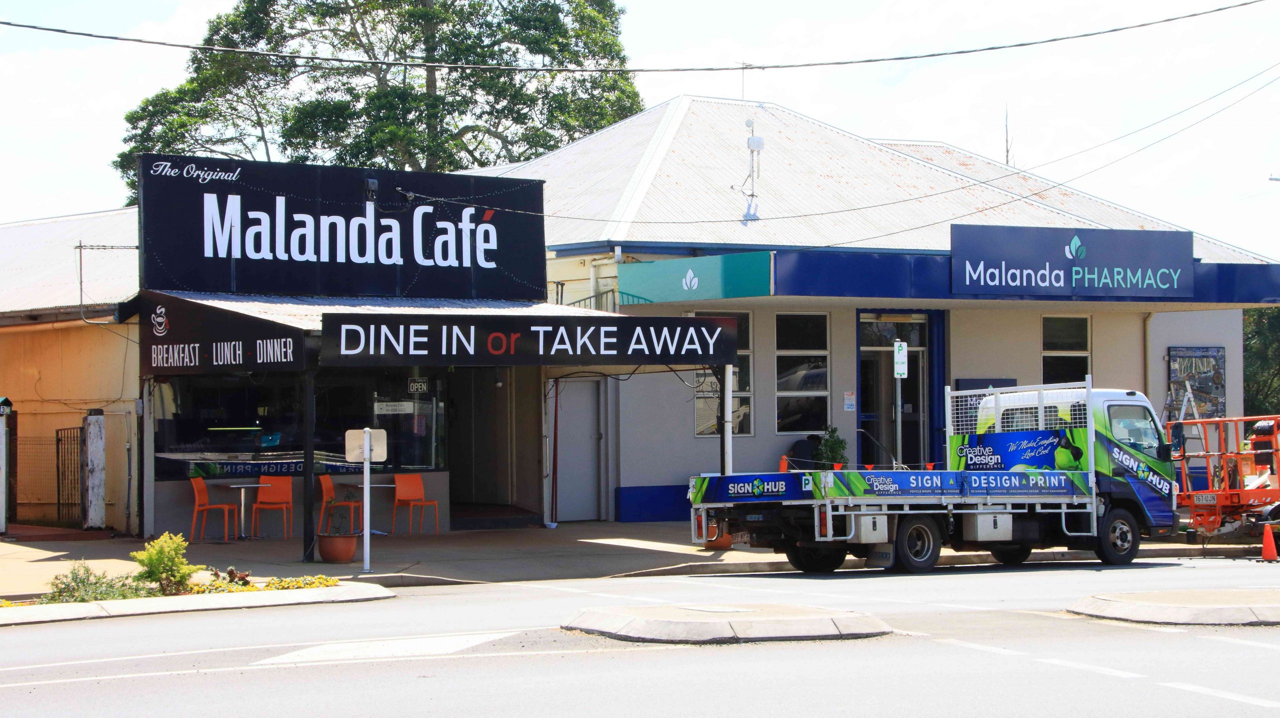
We then turned back to the east to Malanda. We wanted to lunch at Gallo Dairyland but research had shown them to be a Wednesday to Sunday operation, which seems to be quite common in areas that are within an easy weekend drive of major population centres.
Malanda Café, our lunch location.
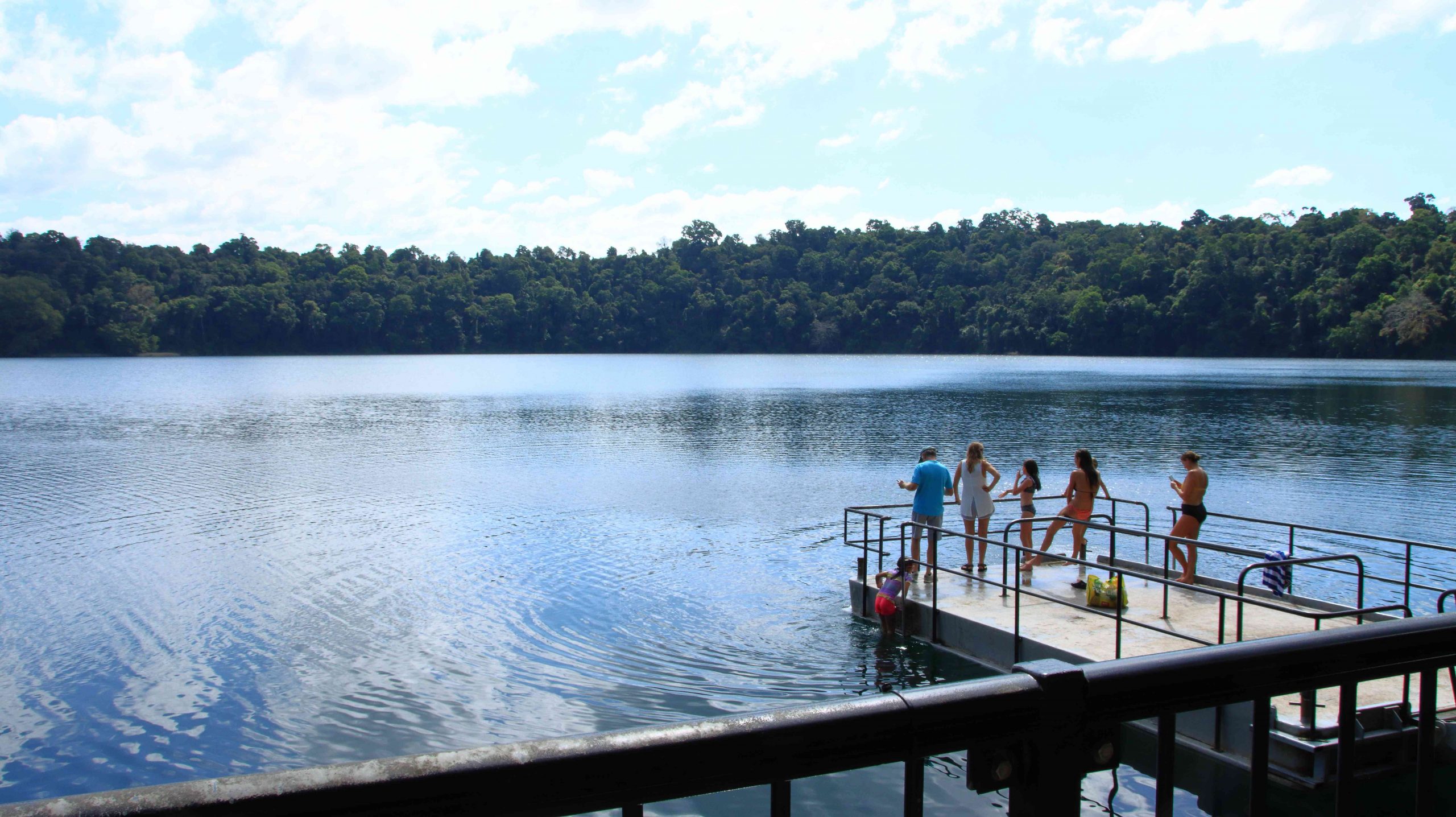
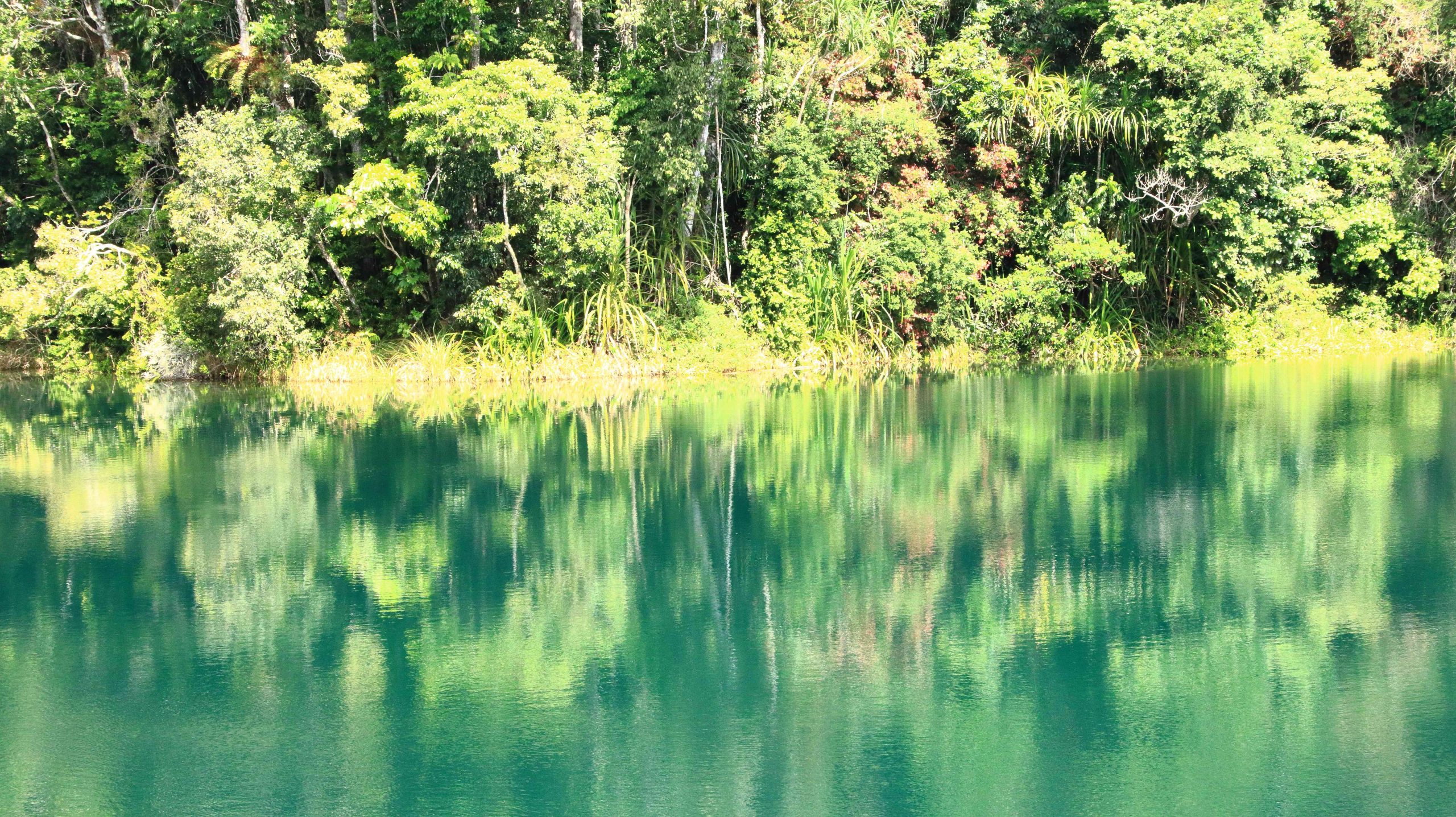
So, after visiting Malanda Falls we lunched at a café in town before making a return visit to Lake Eacham, where some hardy souls were swimming and sun baking. It is a beautiful location and wasn’t all that cold but not my idea of swimming weather.
Lake Eacham with bathers.
Reflections in Lake Eacham.
We passed through the attractive town of Yungaburra on our way to Tinaroo Dam.
Patient Cattle Egrets waiting for the cane harvest to move on.
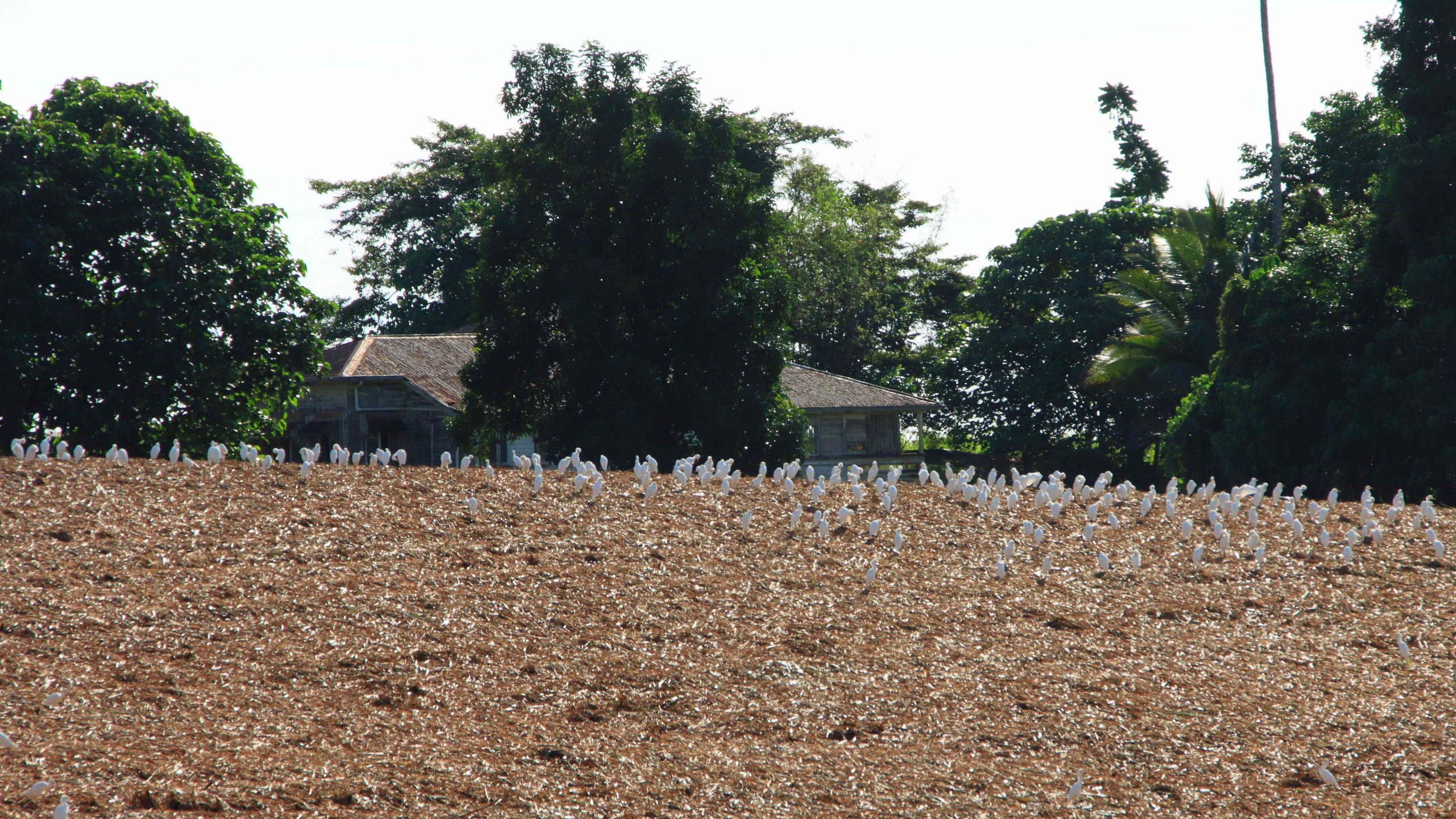
We had seen a large flock of Cattle Egrets (the little white Egrets that are often found where cattle are grazing) back nearer to Innisfail. They were waiting for a cane farmer to finish harvesting a field. Some were near to the road, but all took off and flew to the top of a hill overlooking the cane fields when we stopped. Newly cut cane must produce good eating grounds for them. We saw the same phenomenon at a couple more cane harvesting sites the following day, but other harvest sites had no birds at all.
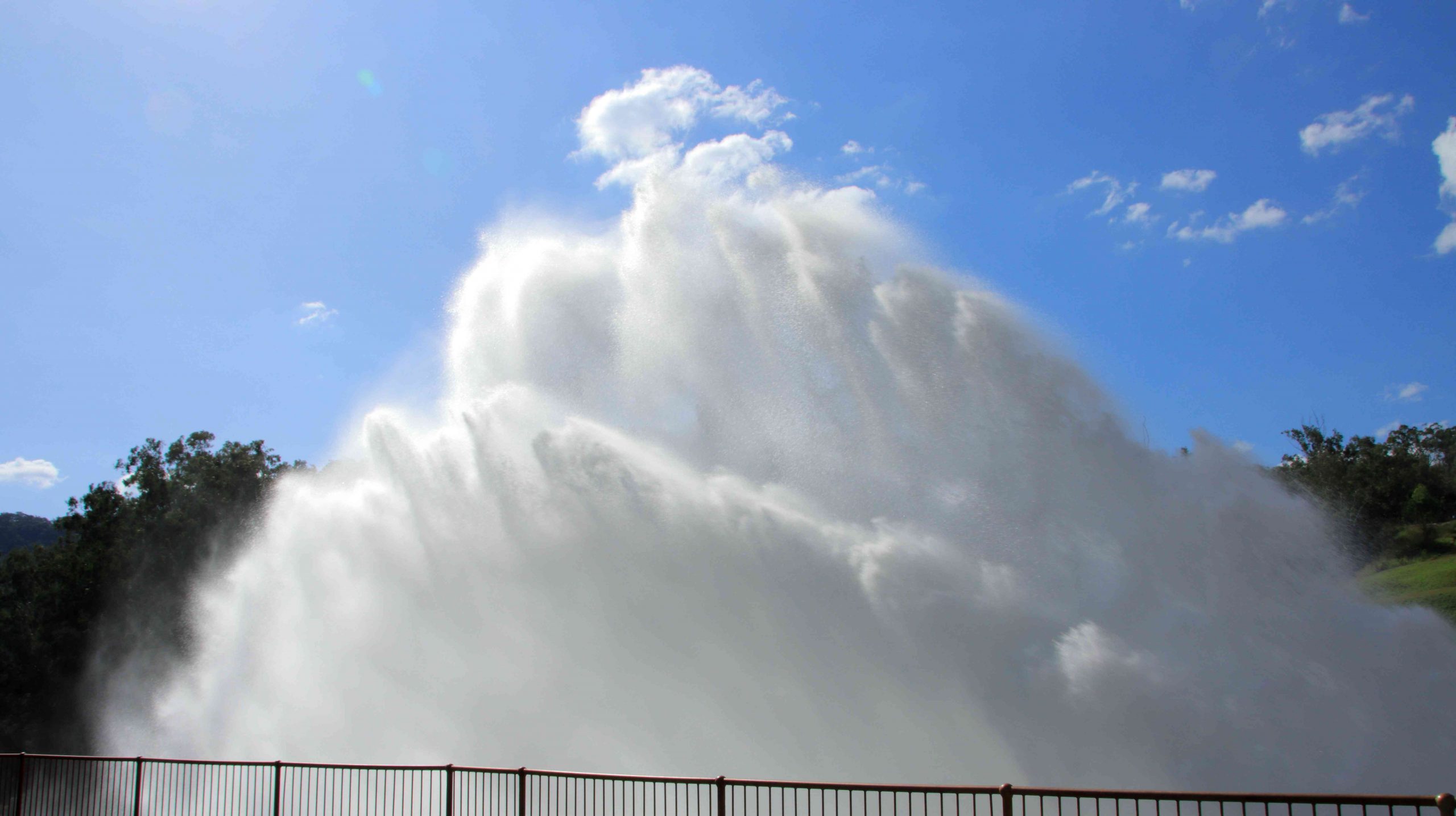
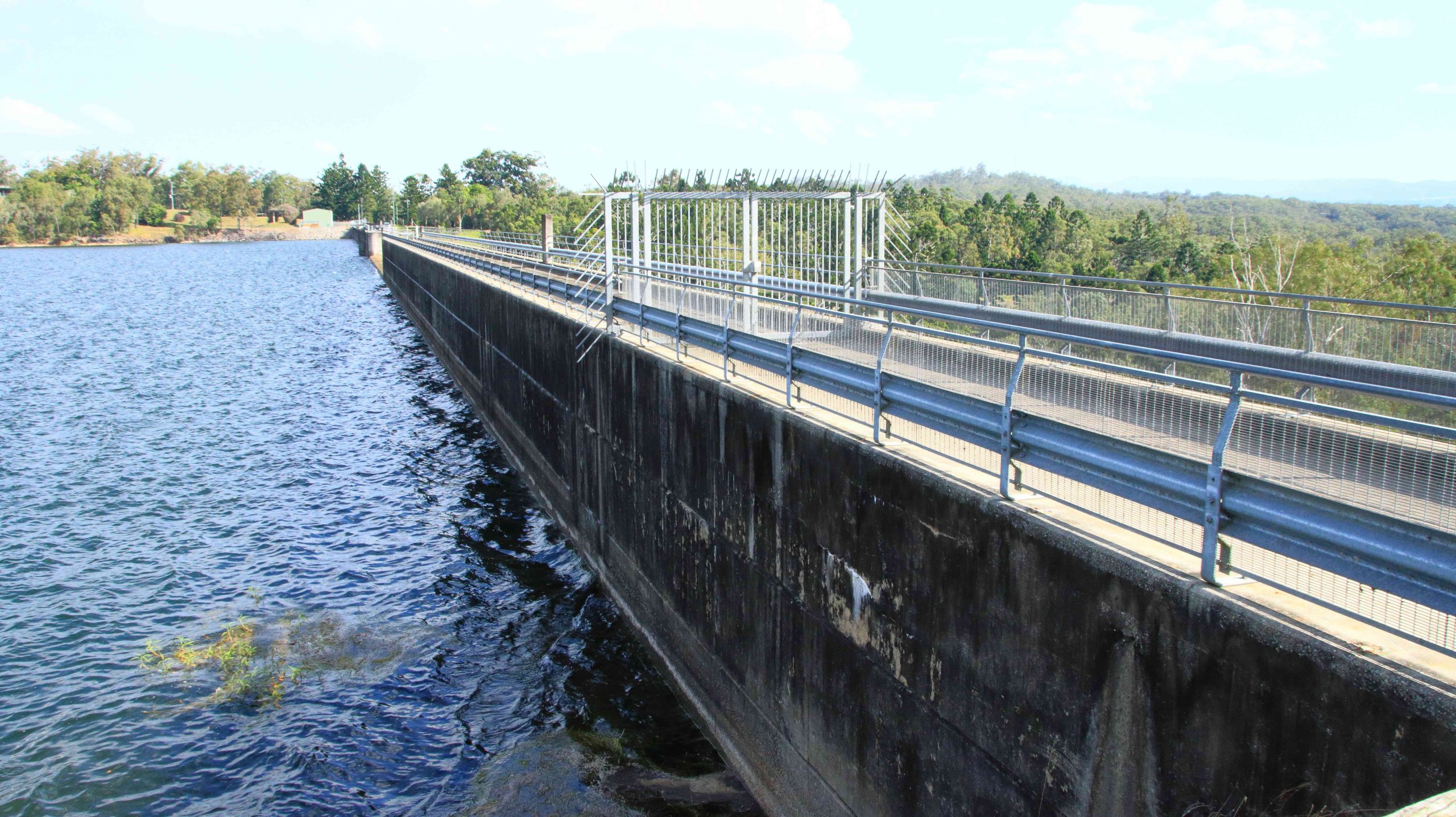
To complete the day, we drove to Tinaroo Dam, where operators were discharging quantities of water, no doubt to the delight of tourists who see it flowing down the Baron Falls as they look down from the Kuranda train or the cable Skyway. There is plenty more where that is coming from. The dam is near to full.
Rather spectacular water discharge from Lake Tinaroo.
Tinaroo Dam
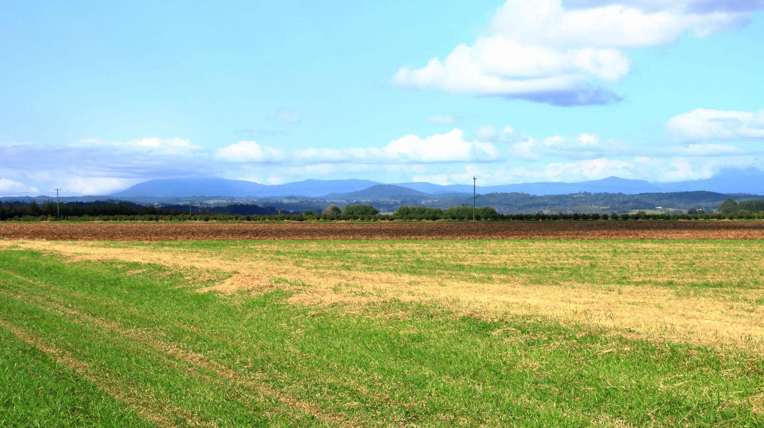
Agricultural land, irrigated by water from Lake Tinaroo.
We then drove on to Atherton and checked into our motel. It was a shorter and easier day. We travelled just over 200 km. Yesterday was a little over 600 km.
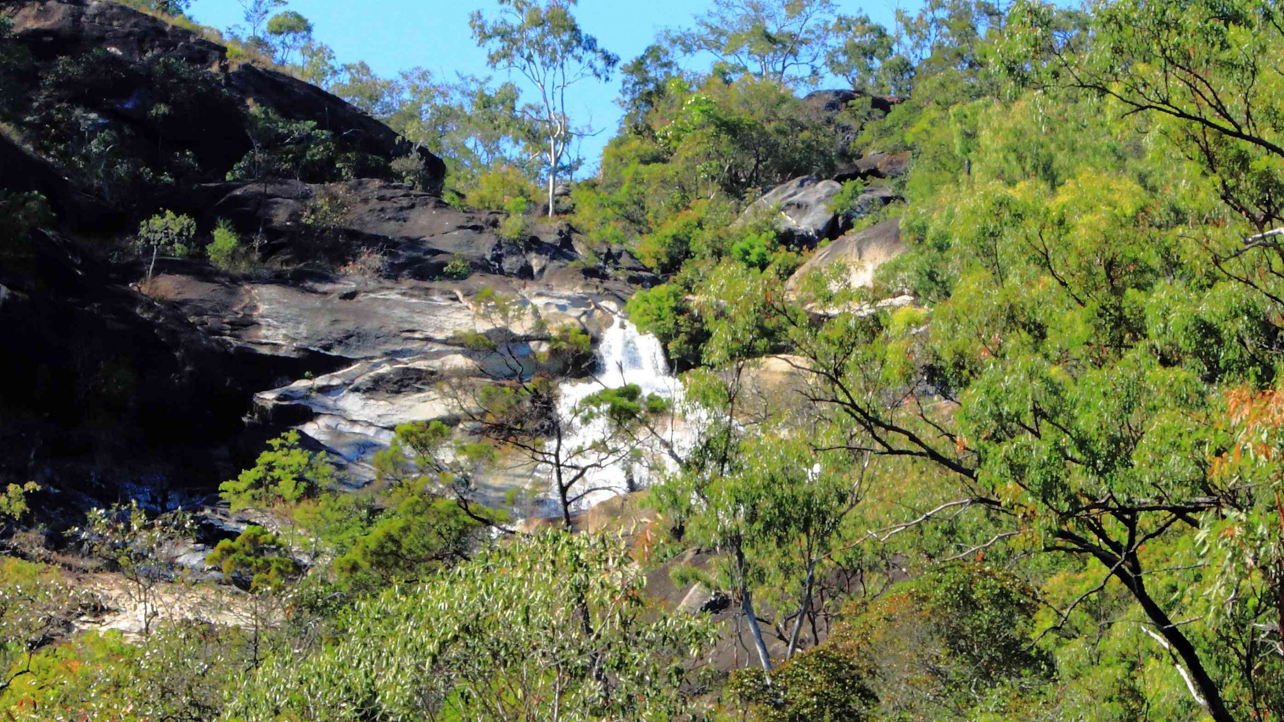
We departed Atherton on the morning of Tuesday 16th August, heading for Mareeba initially but with Port Douglas as our end-of-day goal. We turned east at Mareeba to drive to Emerald Falls. The facilities at the car park suggest that it is quite popular with visitors.
The top section of Emerald Falls.
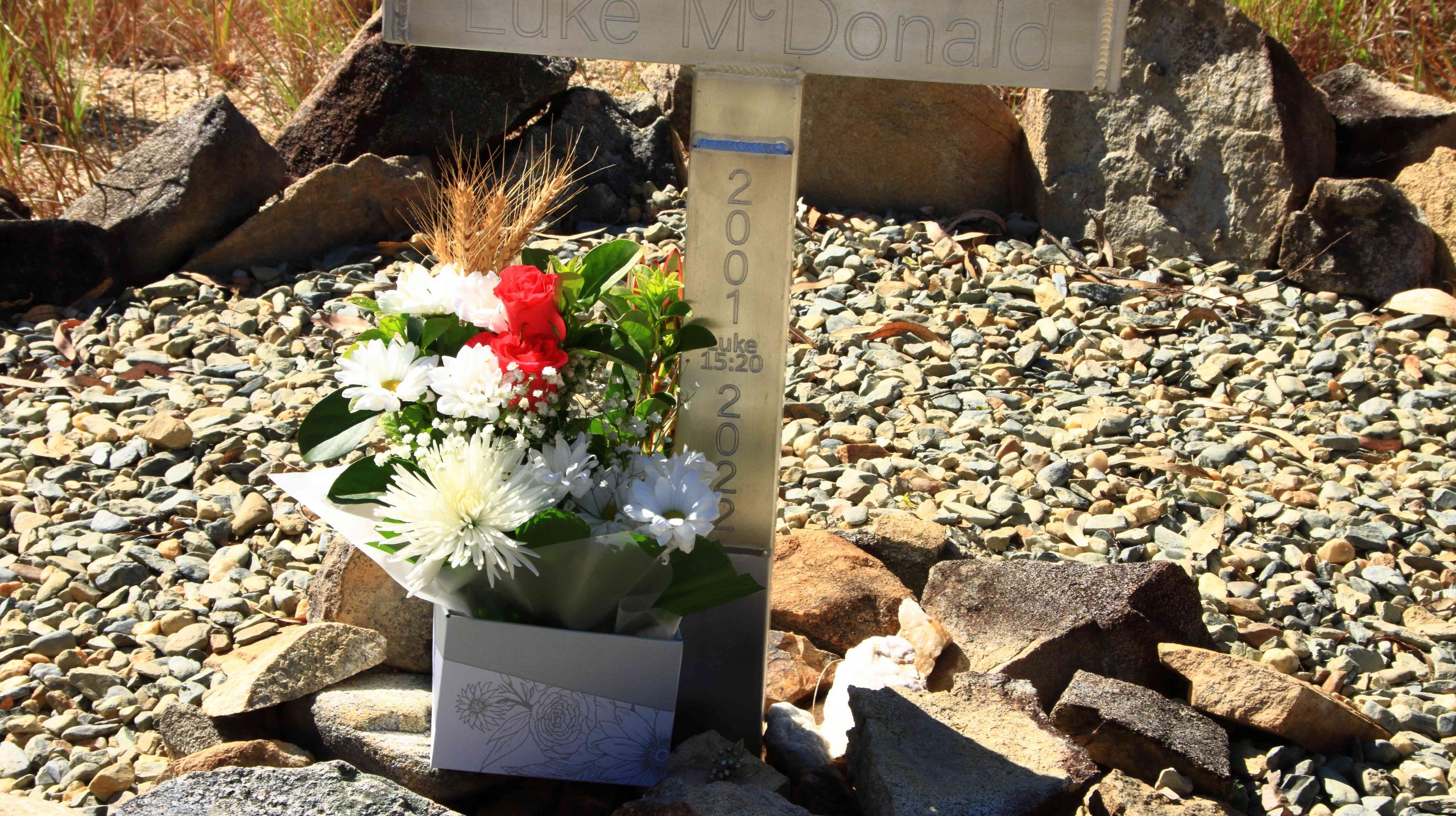
The memorial to Luke McDonald who lost his life in the waters of Emerald Creek
Emerald Creek below the falls and series of rapids.
The walk to the falls is a little under a kilometre one way and quite easy until the last couple of hundred metres, when a series of well-built stone steps lead to the lookout and a rougher path to the foot of the falls. Visitors are reminded of the perils of mountain streams by a memorial, built by the side of the track, to a young man who perished in the stream. Being conscious that we were there on our own and that I am not as young as I once was, I gave the walk away when the top of the falls were in sight. Thy are partly obscured by vegetation. But a great spot for a picnic and walk.
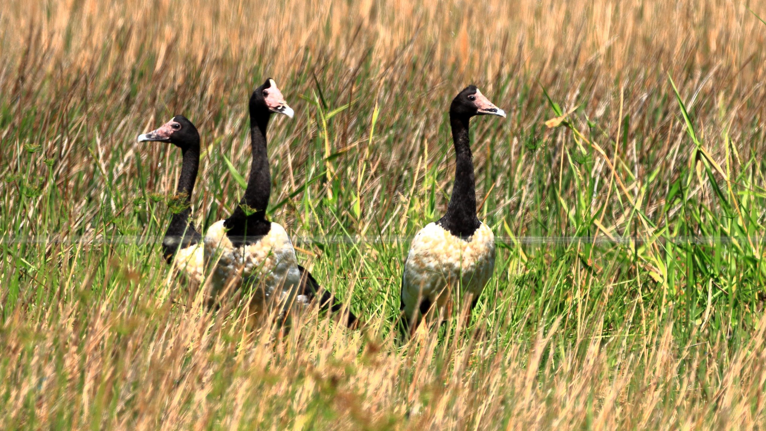
Magpie Geese near Mount Molloy on the Mulligan Highway.
We returned to Mareeba to revisit Coffee Works, a local success story, for morning coffee, before continuing north on the Mulligan Highway. We had intended to call into the nature reserve at Lake Mitchell, but the gate was closed, and the track did not look very inviting. We drove on. The highway runs beside a wetlands area that is part of the dam. There we found a Great Eastern Egret and a flock of Magpie Geese, both feeding in the pools. There was also a Pelican, but out of camera range.
View north east from the highway above Mosman.
The coast towards Daintree National Park
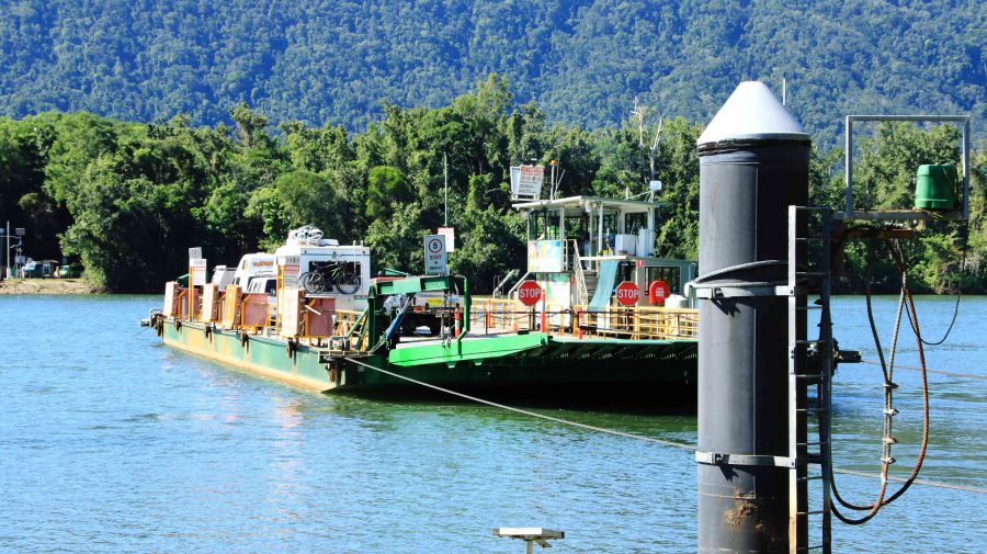
Daintree River ferry that provides the road link to Cape Tribulation.
We passed through Mount Molloy and took the right hand turn towards the coast and Mossman. There are two lookouts as the road begins its decline to the coast. Both give excellent views of Mossman and the coast to the Daintree River and to the ranges of the national park. We lunched at Daintree Village and photographed some Straw-necked Ibis in the park, before driving down to the Daintree River ferry. The crocodile tours along the Daintree River were doing a great trade, boosted by visitors from Coral Princess.
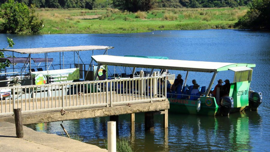
Crocodile viewing cruises on the Daintree River.
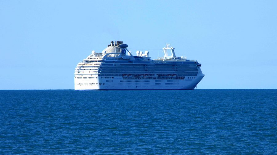
Coral Princess awaiting its passengers.
As we approached Port Douglas, we could see the Coral Princess anchored off the port. We called our passenger friends, but they were still on a day tour near Daintree. They are probably thankful that they missed us as I, at least, was incubating Covid at the time.
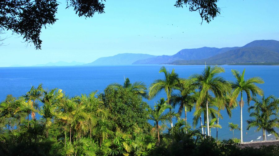
A view south from Flagstaff Hill at Port Douglas.
We had two nights at the Ramada Resort at Port Douglas. Since we had been through the area a number of times on previous trips we had decided on a quiet day. We checked out Four Mile Beach and spent time in the town area, We had visited the famous Flagstaff Hill Lookout, with its views along the beach to Cairns, the previous afternoon. We finished the day with room service dinner, a bit later than planned because the hotel lost our order.
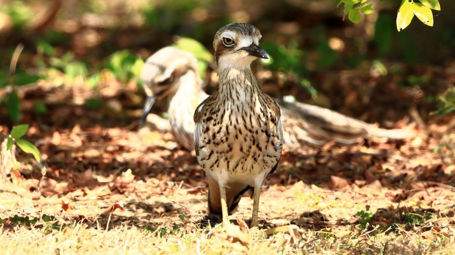
We made a pre-breakfast start from Port Douglas next morning, as we had a 400+ km drive to catch the ferry at Townsville, to cross to Magnetic Island. We breakfasted at North Cairns and continued south. We diverted at Cardwell into the cyclone damaged Hinchinbrook Resort. There we found that most houses seem to have been repaired and reoccupied, but the marina, which was the centrepiece of the resort, remains in ruins, so there is no real resort anymore. But I did spy a pair of Bush Stone-curlews in the shade of a shrub on the rather broad media strip and got some photos. I had not previously photographed this bird. So, another “lifer” on my list.
Bush Stone-curlews at Hinchinbrook Resort at Cardwell.
I wasn’t feeling particularly well from the start of the day, so before we joined the queue for the Magnetic Island vehicle ferry, I decided to do a test for Covid-19. I returned a positive test so that was effectively the end of this trip.
Getting home was not a great amount of fun but with a highlight. We reached Proserpine at dusk and as the sun set, we were enveloped in a radiance of colour that reached across the sky from East to West and in front of us to behind us as well. The colour was a golden purple that faded as night fell. I was too intent on getting home to stop for a photo, but I now regret not doing so. But I do wonder if the camera would have done the colours justice.
The rest of the trip was to have taken us not only to Magnetic Island but then to Mackay and through the coal fields of the Bowen Basin to Emerald, Longreach and Winton. We are hopeful of completing the trip around the end of September.