Far North Queensland 2024 – Days 3 to 5 – Rockhampton to Cairns.

Area near the river and CBD in Rockhampton

In the days before we set off for Far North Queensland, my Facebook news feed had regularly thrown up tourism advertisements from Rockhampton tourist authorities promoting the magnificent views available from the lookout at Mount Archer and a tree top walk on the same mountain top. That all sounded good, so after a short drive along the banks of the Fitzroy River on the South side, we crossed the river and took the road to Mount Archer.

Much of the mountain is a national park, the boundaries of which commence at the bottom of the hill. Like most national parks the roads have a 40-kph speed limit. We were immediately behind a tourist bus which was climbing the mountain at 20-kph. The road is very winding but after a while the bus driver signalled us past and we were able to return to the speed limit.

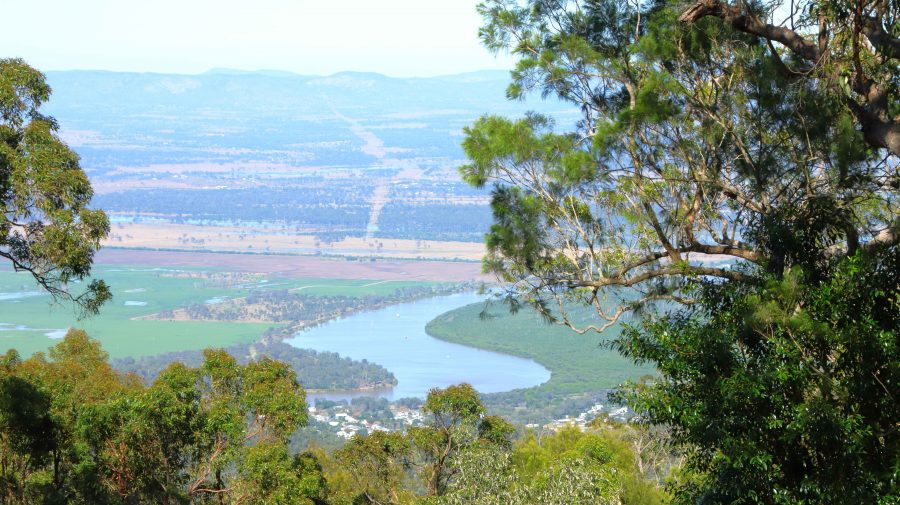
A limited view of the Fitzroy River from Mount Archer
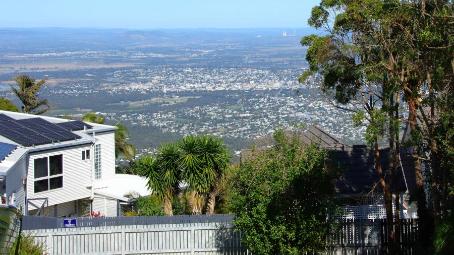
Rockhampton from the neighbouring residential area
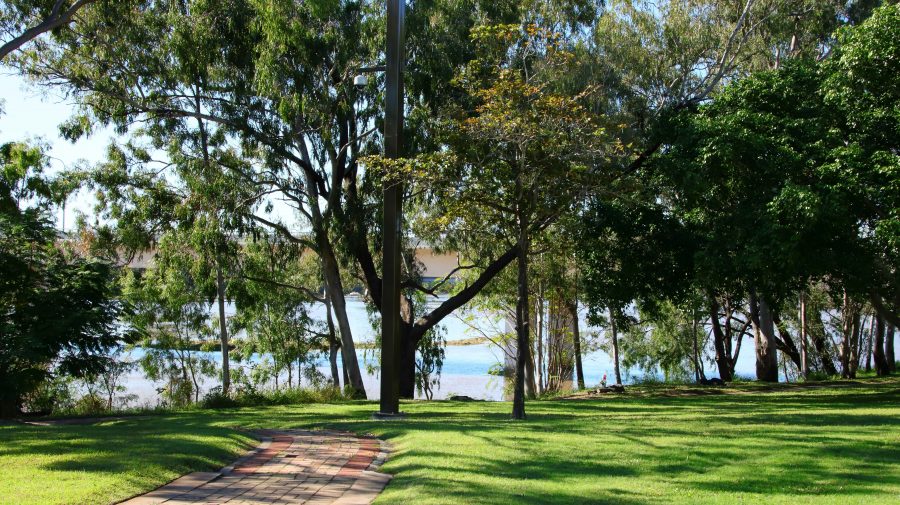
Parkland by the river near Rockhampton CBD

We reached the summit, but what a disappointment! When the lookout was first built the views probably were spectacular. But it seems that the influence of Green councillors has precluded trimming of the trees, to the point where they obscure most of the view. One of our fellow visitors was lamenting that he had not brought his chain saw,

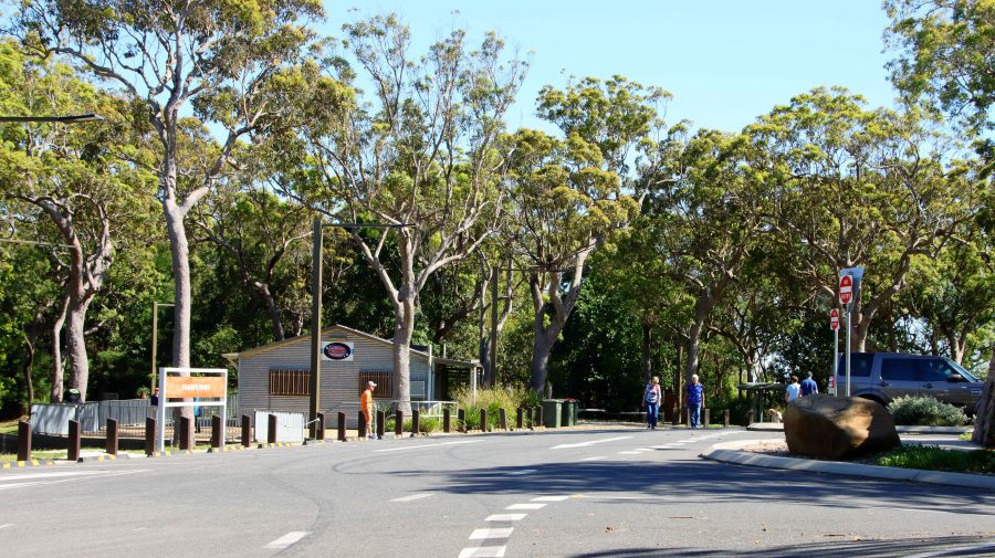
Public area at Mount Archer

Of the treetop walk we could find no sign, nor any mention of it on the signage at the park entrance. The best views are to be had from the small area of residential development that shares the mountain top with the national park and enjoys permanent spectacular views.

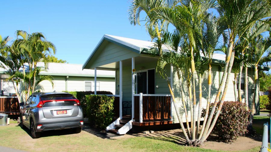
Our Bowen cabin with our car parked at the front stairs

We had booked a caravan park cabin in Bowen for two nights. It was a while since we had spent much time in Bowen, which is an attractive regional centre, with some excellent tourist facilities. The cabin was in good condition, fairly new and comfortable. It was located at the Queen’s Beach Tourist Village, which was packed with grey nomads.

Bowen is located on a peninsula and has both a northern and southern aspect. Horseshoe Beach at the north-eastern tip provides an easterly aspect as well.

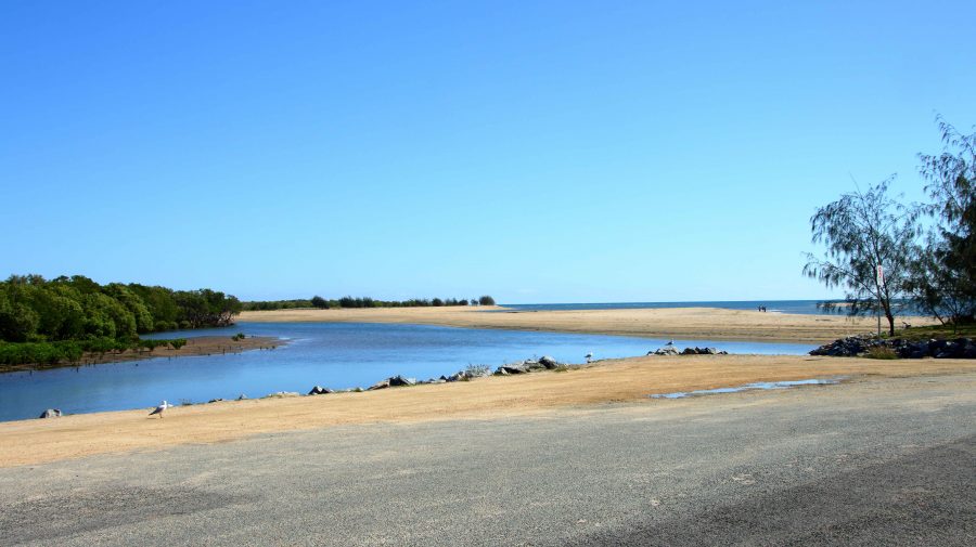
Near the mouth of the Don River
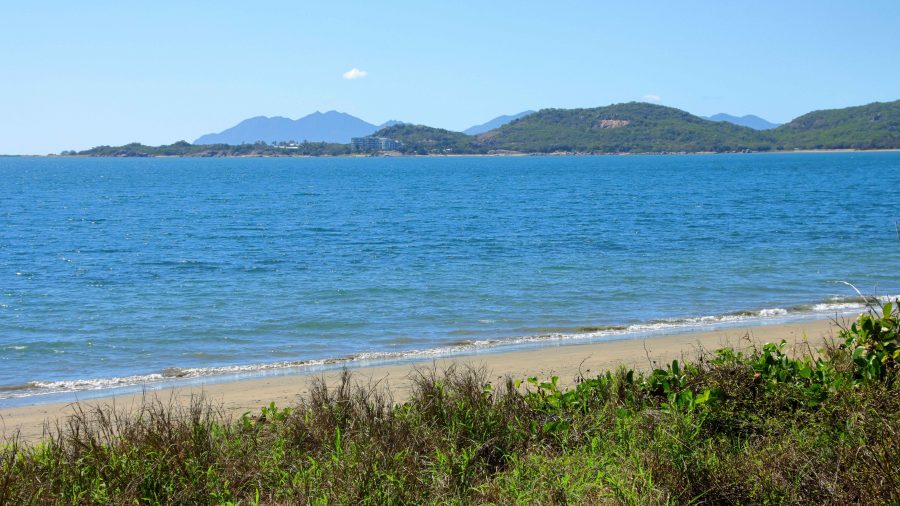
Kings Beach between Horseshoe Beach and Flagstaff Hill
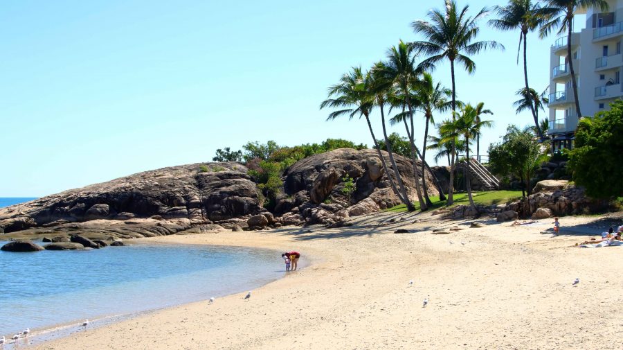
Coral Cove at the North-easterly tip of the North facing beaches

On the day we had available, we started at the mouth of the Don River and worked our way east to Horseshoe Beach and Rose Bay. The day was perfect and holiday makers were making the most of it. We made a quick call at Mullers Lagoon to check for bird life before visiting the main town centre. On our last visit here we still had a caravan and stayed at the caravan park by the harbour.

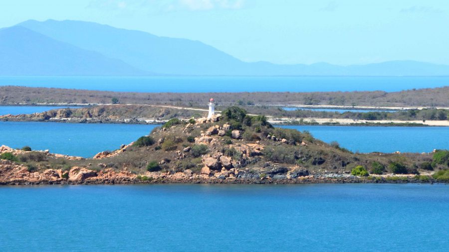
North Head Island Lighthouse marks the northern point of the entrance to Bowen Harbour

Finally, we drove to the summit of Flagstaff Hill for the views over the town and back south over the bay to Cape Gloucester and Gloucester Island, before returning to the cabin for lunch and a rest.

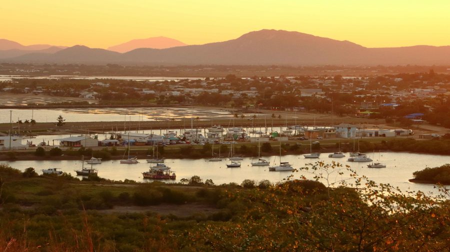
At about 4.00 PM we returned to Muller Lagoon for some bird photography and from there went back to Flagstaff Hill to watch the sunset from that vantage point. It wasn’t a great night for sunset colour, as there was almost no cloud cover to the west, but to watch the changing light on Bowen Harbour and the moon rise over Gloucester Island was not a bad substitute.

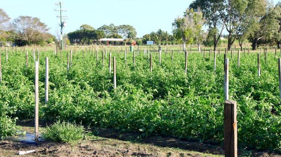
Tomato crop at a Bowen farm

On successive trips north we have noticed the increase in horticulture and market gardens, that seem to be expanding around the larger towns and occupying some of the land formally used for sugar cane production. Bowen has mangos aplenty as indicated by the Big Mango at the southern approach to the town, but tomatoes are now very much in evidence. I wonder if we will ever see a Big Tomato at the entrance to the town.

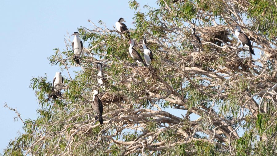
A nesting tree of Little Pied Cormorants
Bowen and Harbour in the fading light
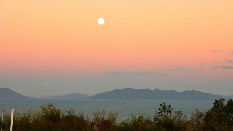
The Moon rising over Gloucester Island
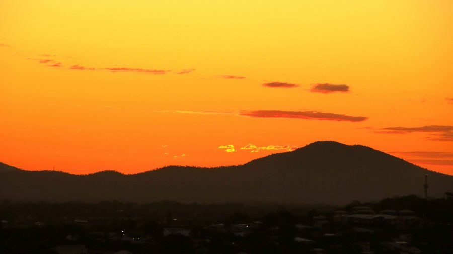
Sunset over The Great Dividing Range

Bowen is a coal town with many of its residents employed at the gigantic coal loading facility at Abbott Point, just 30 km to the north. In addition, I would think it an ideal location for fly in fly out employees in the mines of the Bowen Basin just over the range to the west. Perhaps drive in drive out as well.
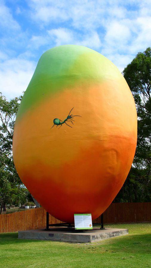
The Big Mango is located at the Visitor Information Centre at the southern entrance to the town

On Tuesday morning we departed to Cairns under cloudy skies. By Townsville the sky had darkened and as we passed through Ingham and approached the mountains near Hinchinbrook Island, the rain started to fall in earnest. An umbrella was required to leave the car for lunch at Innisfail, during what was, according to the news, a 50 mm fall of rain.

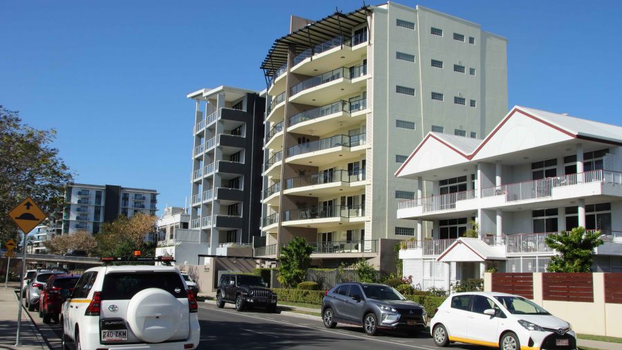
Just south of Cairns the rain abated, but returned after we had settled into our motel unit in North Cairns. When it rains during holidays you just have to deal with it. The greater problem was that in booking I had failed to specify a ground floor room, so Ruth had to make it up fourteen steps. We dealt with that problem, for the four nights that we were there, by going out in the morning and returning at the end of the day, when all activities were done.

You have read the book – now see the movie : Cape York 2015

After we return from each of our extended tours I go through our images and videos and combine them into a video, or in some cases into a series of videos. When we did the Big Lap in 2009 the material took up almost all of 4 DVDs.

Normally I have produced one long story for each trip which has not been easy to break into sections. But for the Cape York trip last year I complied twelve shorter videos, which when combined, ran for almost an hour.

I have put links to some small video clips in various blog posts covering the Cape York trip so I thought I may as well break the longer production into manageable portions and load them to You Tube, to make the material more easily accessible to my blog readers.

The end result is six videos, each of a bit less than.ten minutes duration. Here is a summary of the videos and the link to each.

Cape York Adventure 2015 – Part 1. Covers from home to Airlie Beach and a day cruise through the Whitsunday Passage to Whitehaven Beach.

[youtube]https://youtu.be/Gb-xM_mio00[/youtube]

Cape York Adventure 2015 – Part 2. This video tells of the section from Airlie Beach to Weipa and our explorations around Weipa

[youtube]https://youtu.be/s3l03Rt5bdc[/youtube]

Cape York Adventure 2015 – Part 3. You will see much of what we saw as we travelled from Weipa to Punsand Bay, our visit to The Tip and our trips around Bamaga and Seisia

[youtube]https://youtu.be/Q693fD5CiFo[/youtube]

Cape York Adventure 2015 – Part 4. This covers two separate day trips to Thursday and Horne Islands. The material is combined into one story.

[youtube]https://youtu.be/1G168MSeuik[/youtube]

Cape York Adventure 2015 – Part 5. Join us as we travel down the East Coast of Far North Queensland from Seisia to Cairns and then visit Cairns city and the rain forest areas of Daintree and Cape Tribulation

[youtube]https://youtu.be/LrKySa1q42w[/youtube]

Cape York Adventure 2016 – Part 6. This video wraps up our trip with our visits to Tully Gorge and the Central Queensland gem field towns of Rubyvale and Sapphire.

[youtube]https://youtu.be/q0-Aud4KUYU[/youtube]

We hope that you will enjoy seeing something of the scenery and points of interest that we encountered on this enjoyable and challenging journey.

Until next time,

Kevin


Cape York Adventure – Days 7 to 10

It is only about 45 km from the Crystal Creek camping area to Ingham, where we stopped to refuel, post some letters and refill a gas cylinder that had surprisingly run empty overnight. Surprising, because I thought that it was full. I had filled the second cylinder before we left home thinking that gave us two full. Oh well!

Hinchinbrook Island and Pasage

Hinchinbrook Island and Passage

Shortly after passing through Ingham, the road enters the mountains south of Cardwell. The road over the range has been realigned and as a bonus the roads authority has provided a magnificent lookout that alllows views over the southern end of the Hinchinbrook Passage. It provides a great view of this magnificent island.

You may recall that Cardwell was hit by a bad cyclone (was it Darcy?) a couple of years ago, doing immense damage to the resort and marina. From the road we could see boats at moorings next to houses but painted over sign boards at the front gate suggested that the resort and marina is not yet back into full operation. But grey nomads are supporting the town. Caravans were parked in great numbers in the large rest area and along the main street. We have done this part of the coast before, so we kept on driving.

Innisfail was our lunch stop and I got some extra exercise looking for a replacement filter for our water tap. Bunnings let me down. I had to go to the old traditional Mitre 10 store to get what I wanted.

We turned inland for the Atherton Tableland at Innisfail, arriving at our camp site at the Mareeba rodeo grounds at about 4.30 pm. This is a low cost basic site but ideal for an overnight stop. It is run by volunteers to raise funds for their annual rodeo and is conducted like a military operation. In no time we were in a site with power and water. There must have been at least 250 caravans there.

More fuel and perishable food purchase next morning before we headed north for the southern end of the Cape York Developmental Road that commences just north of Mt Molloy, 42 km into our journey. The only significant points of population before reaching Lakeland is Mt. Carbine, a small mining town and the Palmer River Roadhouse, sighted on the river from which it takes its name.

If you don’t turn left at Lakeland you will end up in Cooktown, but that was not the plan, so we turned. Last time we were on this road, about 5 years ago, it was only partly sealed with work under way. The unsealed sections were appalling. Now it is a first class highway, realigned to minimise flood impact, including a new bridge aver the Laura River in place of the former flood prone low level version. As a result, Laura looks more prosperous with a new motel and several caravans in storage while their owners visit the Cape.

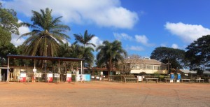
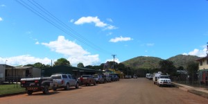
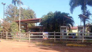
Hann River Roadhouse

Hann River Roadhouse

We stopped for lunch under a shady grove. I took the opportunity to let about 25% of the air pressure out of the tyres. We knew that we had several hundred kilometres of corrugations ahead of us. They start where the bitumen stops about 5 km north of town.

Part of Hann River's Zoo

Part of Hann River’s Zoo

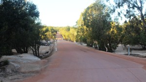
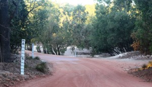
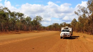
I had some idea of what to expect. The first 10 km or so was quite rough and had to be taken with care but the road then improved to a point where 60 to 65 kph was comfortable, so we made good progress. The terrain varies between flat and hilly. The best sections of road are generally across flat country with the hilly sections not as good. There are many creek crossings, mostly in pronounced dips in the road, almost all of which are sign posted. Both entry to and exit from dips tend to be badly corrugated and although most of the dips have asphalt or concrete at the bottom it is not always well aligned so caution is necessary. The result is that mush of the traffic jams its breaks on at the last minute and then accelerates out of the dip thus adding to the size of the corrugations.

Historic Musgrave Station. Another oasis on a ling dry road

Historic Musgrave Station. Another oasis on a ling dry road

Every 30 km or so there are what are called passing opportunities. They are stretches of asphalt, full road width, from 5 to 10 km in length which give some respite from the dirt road. But most motorists don’t wait for the sealed strip. They come rocketing out of your cloud of dust, pass and pull in front of you and smother you in their dust. And then there are the road trains. They are something else again!

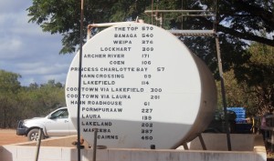
Distances from Musgrave on a fuel storage tank.

Distances from Musgrave on a fuel storage tank.

We did 75 km of unsealed road with about three sealed sections to bring us to the Hann River Roadhouse, where we spent our first night along the Cape Road. We joined about a dozen other camps, spread over the slight slope to the river. The roadhouse provides fuel, food and liquid refreshment, as well as accommodation to the travelling public. Facilities are basic but adequate. We enjoyed a comfortable night, after dining on two of their more than adequate hamburgers.

Coen's Exchange Hotel is frequently referred to as the Sexchange Hotel. Note the sign on the roof

Coen’s Exchange Hotel is frequently referred to as the Sexchange Hotel. Note the sign on the roof

There was more of the same next day. We stopped at Musgrave Station, the next road house along, for a bit of a look. It has a museum that tells the story of the overland telegraph, which we will investigate when we stop there over night on our return journey. Then on to Coen which is

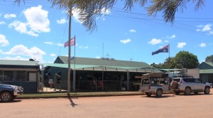
Coen's main street

Coen’s main street

the third most substantial settlement on the Cape (after Weipa and Bamaga) for fuel, lunch and some communication. The town has Telstra internet coverage. We then travelled on a further 60 km to Archer River Roadhouse as our overnight stop, making about 230 km for the day.

Archer River Roadhouse

Archer River Roadhouse

Archer River is a more modern establishment that Hann River, but provides the same services and charges about the same prices. Like Hann River, it sits on a hill above the river. Flood level markings on the amenities block indicate the amount

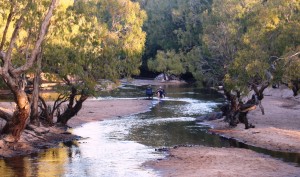
Relaxing after a hard day on the road in the Archer River

Relaxing after a hard day on the road in the Archer River

of water that rushes down these rivers during a cyclone.
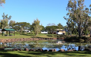
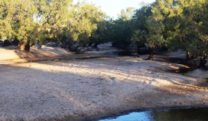
Archer River is a very pretty spot with the greatly reduced water flow of the dry season winding its way through extensive sand banks, to pass under the bridge in the

The Archer River winds through sand banks

The Archer River winds through sand banks

causeway, on its way to the Gulf of Carpentaria. Some travellers camp on the sand and unfortunately too many mark their stay with litter. Dinner in the van that night.


The Archer River Causeway

The Archer River Causeway

They have some decent floods around here

They have some decent floods around here

We were pleased that this vehicle headed out about 15 hours ahead of us

We were pleased that this vehicle headed out about 15 hours ahead of us

We started the next day a bit apprehensively, as we had been given a report in Coen that the road to Weipa was particularly bad. But the report was largely unfounded. There is a bad patch of about 10 km around 60 km out of Weipa, but the graders are working on it.

Morning coffee stop on the Cape York Developmental Road about 100 km east of Weipa

Morning coffee stop on the Cape York Developmental Road about 100 km east of Weipa

The rest is quite good and we did the 200 km in just over 4 hours, including two substantial stops.

We were greeted to Weipa by a closed boom gate and red lights and sat for a couple of minutes while one a huge dump truck made its slow passage

Ant  archetecture

Ant architecture

along the haul road bearing a load of bauxite to the processing plant where it will be processed for shipment to an alumina plant in Australia or overseas.

We are now ensconced in the Weipa camping grounds among a throng of campers, all doing what we are doing. Participating in their very own Cape York Adventure.

Mountains and Waterfalls

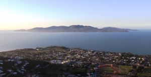
Townsville has a wonderful mountain. It is called Castle Hill. Its battlements tower over the Central Business District with the scenic Strand running along its eastern foundations.

Magnetic Island offshore from Townsville's beach side suburbs

Magnetic Island offshore from Townsville’s beach side suburbs

Great views are to be enjoyed from this vantage point that sweep from Magnetic Island to the east, to the sprawling western suburbs and to coastal plains and mountains to north and south. To the south west stands Townsville’s other viewing platform Mount Stuart, with the regimented neatness of the Army’s Lavarack Barracks at its feet.

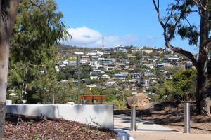
Hill side homes with views over Magnetic Island

Hill side homes with views over Magnetic Island

It took us two attempts to reach the summit of Castle Hill. The first attempt was thwarted by the phone call that confirmed our appointment with WO Hema at the military museum. We needed to find a place to turn around on the narrow and steep road to return to earth to keep our appointment. We only found turning space a couple of hundred meters from the top.


Our second attempt was later in the day, as sunset was approaching. We then discovered the extent to which residents of Townsville use this rocky elevation for exercise. The participants in this activity are mostly young and female but the slim black tighted majority

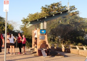
Misting station at the summit of Castle Hill

Misting station at the summit of Castle Hill

are interspersed with the not so slim, older men with looks of grim determination on their faces, the odd younger male on a bicycle. Young mothers with children in pushers were making the climb, some accompanied by young children on foot.

The Council has installed what could best be described as a misting booth at the summit so that hot climbers can cool themselves

Climbers resting as they wait for the setting of the sun

Climbers resting as they wait for the setting of the sun

at the end of the climb. It is not greatly used on a winter afternoon but probably very popular in hotter weather. Some climbers wait to get their breath back, in tranquil solitude or small groups, before starting down again. Others occupy one of the many vantage points to watch the sunset.

Our most northern point on the coast this trip was Ingham. We stayed for three nights so that we

Ingham's Tyto wetlands are worth a visit

Ingham’s Tyto wetlands are worth a visit

had time to explore the mountains of The Great Dividing Range. This spine that runs the length of our east coast is never far inland in North Queensland. But first we used the afternoon of our arrival to take the drive to Lucinda, a small town adjacent to the southern tip of Hinchinbrook Island, to see the six kilometer long bulk sugar loading jetty.

The six kilometre jetty seems to almost reach the horizon

The six kilometre jetty seems to almost reach the horizon

It was a beautiful afternoon, warm with a light breeze. It is not possible to walk along the jetty, which is really a huge conveyor belt with a maintenance road on top, but we walked around the adjoining park, stopping to talk to other strollers or to watch workers replacing the roof of one of the bulk sugar terminal

Boats at anchor at Dungeness

Boats at anchor at Dungeness

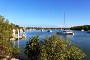
buildings. After driving the short distance to the neighboring town of Dungeness we refreshed ourselves with a restoring iced coffee as we enjoyed the view of the rugged peaks of Hinchinbrook.

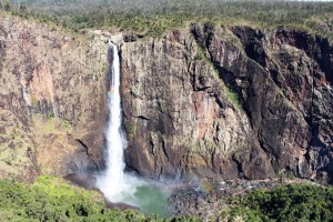
The main reason for our visit to the area, apart from our search for warmth, was to visit Wallaman Falls. For a water fall to be worth visiting, you need water. Last time we were in the area, dry weather had reduced to flow over the falls to little more than a trickle. Current flows are sufficient for a good show.

The full view of Wallaman Falls

The full view of Wallaman Falls

Wallaman Falls, at a straight drop of about 230 meters, is the longest drop in Queensland. To get there you drive about 50 km west of Ingham, park in the area provided, then walk about 100 meters to the viewing platforms and there are the falls in all their magnificence.

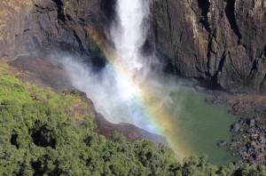
The water tumbles over the edge of a precipice in a plunge that is unimpeded until it creates a continuous explosion of water on the rocks of the continuation of the stream into which it falls. Nature has dictated that the falls face about north east so are directly lit by sunlight for most of the day. The rays of the sun create rainbows in the spray. The rainbows move up and down the column of water, changing with the position of both sun and viewer. At times, from a particular position you can watch two rainbows move together to become one.
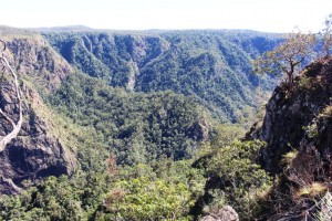
The gorge down stream from Wallaman Falls

The gorge down stream from Wallaman Falls

Those with much more energy than I possess can descend by a steep but well formed path to the foot of the falls and no doubt, from that changed vantage point, can view more rainbows in the spray. But the return journey is a kilometer multiplied by two. That requires a lot of energy.

The first 30 km of the drive is through cane fields and grazing

The rainbow in the spray

The rainbow in the spray

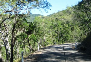
country. The final 20 km is up the mountain. The road is a good width, but steep and winding for most of the way. Only about 5 km remains unsealed and roadwork in the area suggest that this will soon be fixed.

On our way home we encountered the unexpected! We had slowed as we approached a creek crossing because of the rough surface and noticed that an approaching vehicle had pulled to our side of the road and stopped. So we stopped too. And there, walking casually along the road towards us was a fully grown Cassowary. It was in no hurry and walked within a meter of my open window. Then a third car approached, in a hurry, and the bird was gone, frightened back into the scrub.

A sample of the narrow Mt Spec Road

A sample of the narrow Mt Spec Road

The following day we travelled about 40 km south on the Bruce Highway and drove up the Paluma Range to the mountain top town of Paluma and on a further 12 km to the Paluma Dam. We had tried to do this a couple of years ago but were thwarted by cloud over the mountain. About a kilometer from the top we had encountered thick fog. This time the sky was blue, without a cloud in sight.

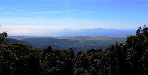
The view from near Paluma

The view from near Paluma

The scenery is not of the standard of the Wallaman Falls drive but the lookout at Paluma provides sweeping views of the coast and off lying Islands, of which Palm Island is the most dominant.

Access is via Mt. Spec Road, which is interesting in its own right. Built during the depression, the construction was accomplished mainly by manpower with little mechanical assistance. The workforce was substantial, probably because men were more readily available than machines. The road climbs and twists its way to the summit providing tempting glances of the view to be seen from the lookout at the top.
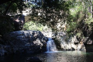
Below the bridge over Little Crystal Creek

Below the bridge over Little Crystal Creek

Certainly the most charming spot on the road is the bridge that crosses Little Crystal Creek. It is a single arch structure of concrete but beautifully faced with stone in the manner of so many historic bridges in Australia. But if you simply drive over it you miss the best. For where it spans the creek waterfalls tumble into rock pools that make great swimming holes on warm days. It is a magic place. The amenities block at the picnic area even has a change room.

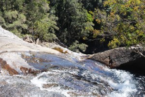
At the top of Birthday Falls

At the top of Birthday Falls

The drive to the dam is through rain forest and over mountain ridges on a narrow gravel road. About halfway between the town and dam a clearing in the bush provides parking for those who go on the 500 meter walk to the top of the Birthday Falls and perhaps the 500 meter scramble to the bottom. We chose the former and while the view from the top is probably not as good as from the bottom you still get the idea of a stream of water plunging into a valley far below.

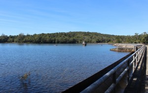
The waters of Paluma Dam

The waters of Paluma Dam

The dam is part of Townsville’s water supply but is also a favorite camp site for locals. We met a surprising succession of vehicles as we returned down the range. Paluma is probably something of a weekend retreat for Townsvillians and it was Saturday afternoon. We completed the day with a stop at the Frosty Mango for an ice cream as we returned to Ingham.