I don’t think that we have ever visited Cairns without also visiting Port Douglas. Oh wait! On our first ever trip to Cairns, a road trip from Melbourne, at Christmas, about 56 years ago, we hadn’t even heard of Port Douglas and neither had most other Melbournians. We hadn’t heard of Christopher Skase, either.
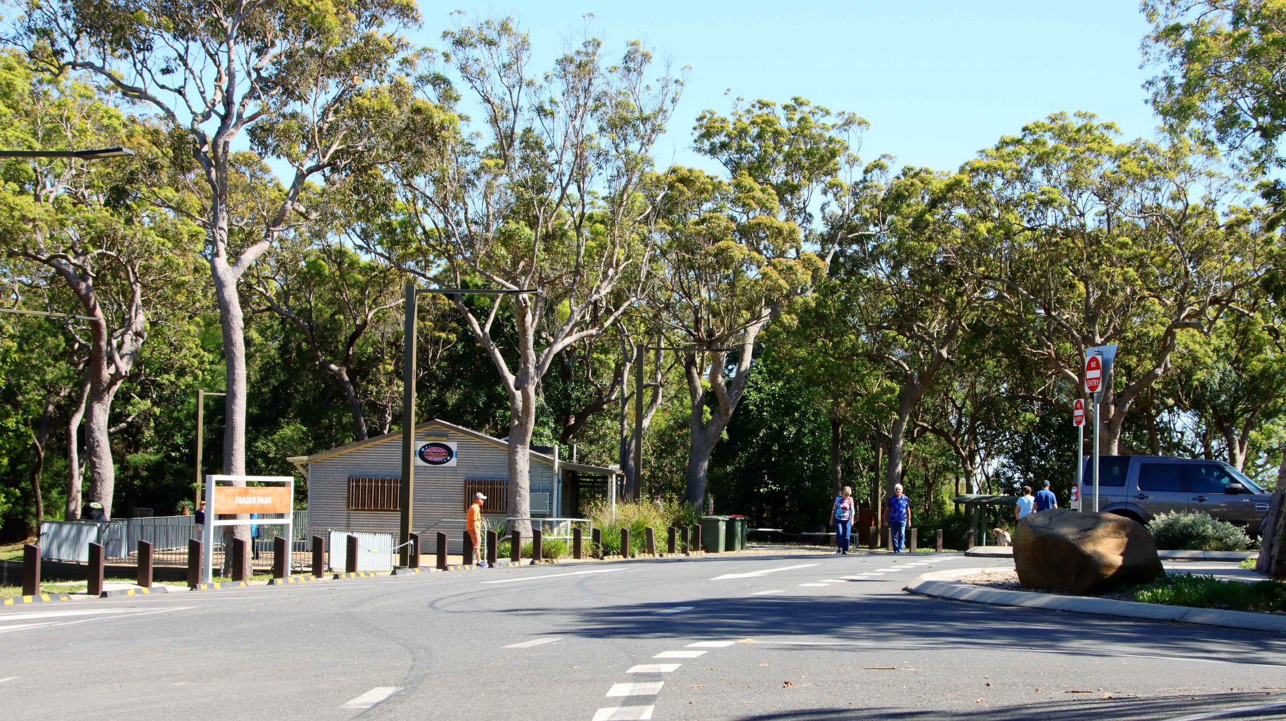
As Thursday was the only day without a fixed starting activity, I took the opportunity to walk to The Esplanade. Reports suggested that the beach and water side parklands was a great bird photography sight. But not that day. I arrived at about 7.30 am but it seemed that half of Cairns had beaten me there. Clearly it is a favourite aera for morning exercises and there were many exercising. But they weren’t doing it quietly. I took some photos, but mostly birds with which I am already familiar.
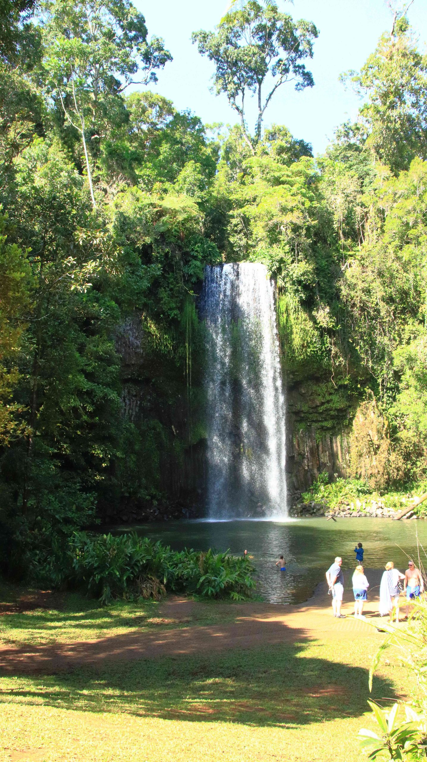
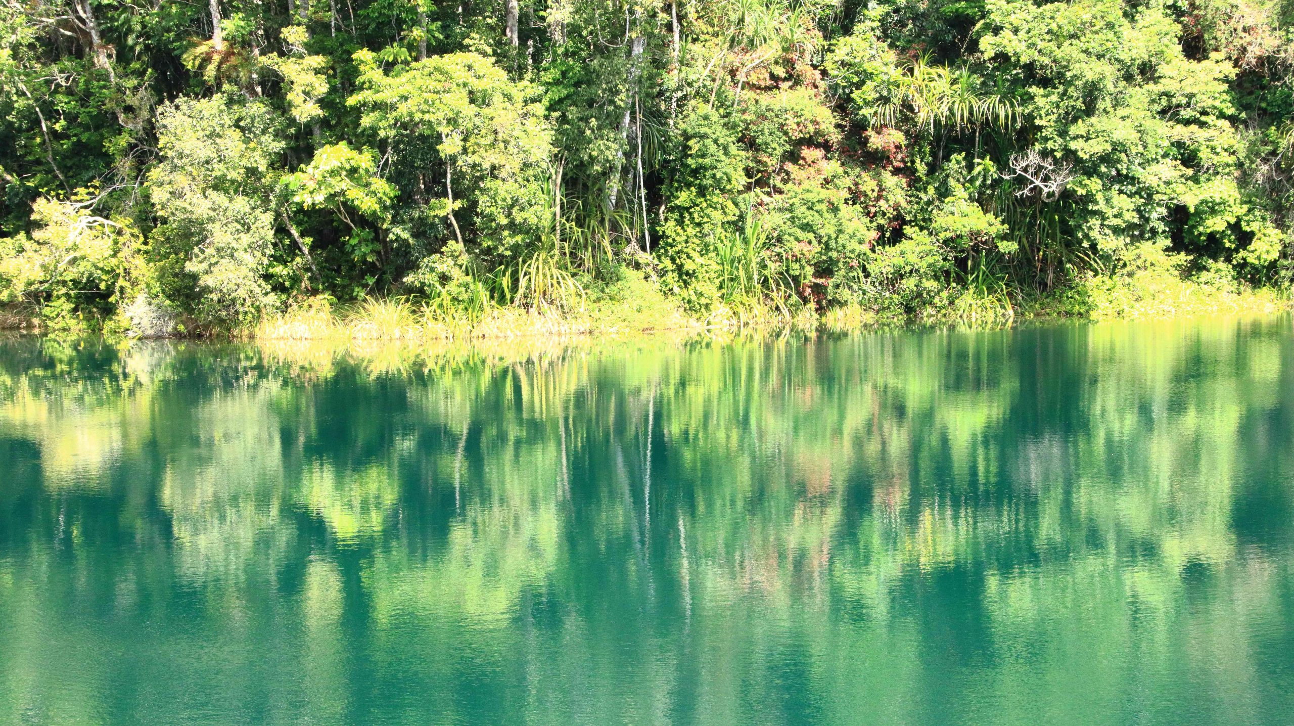
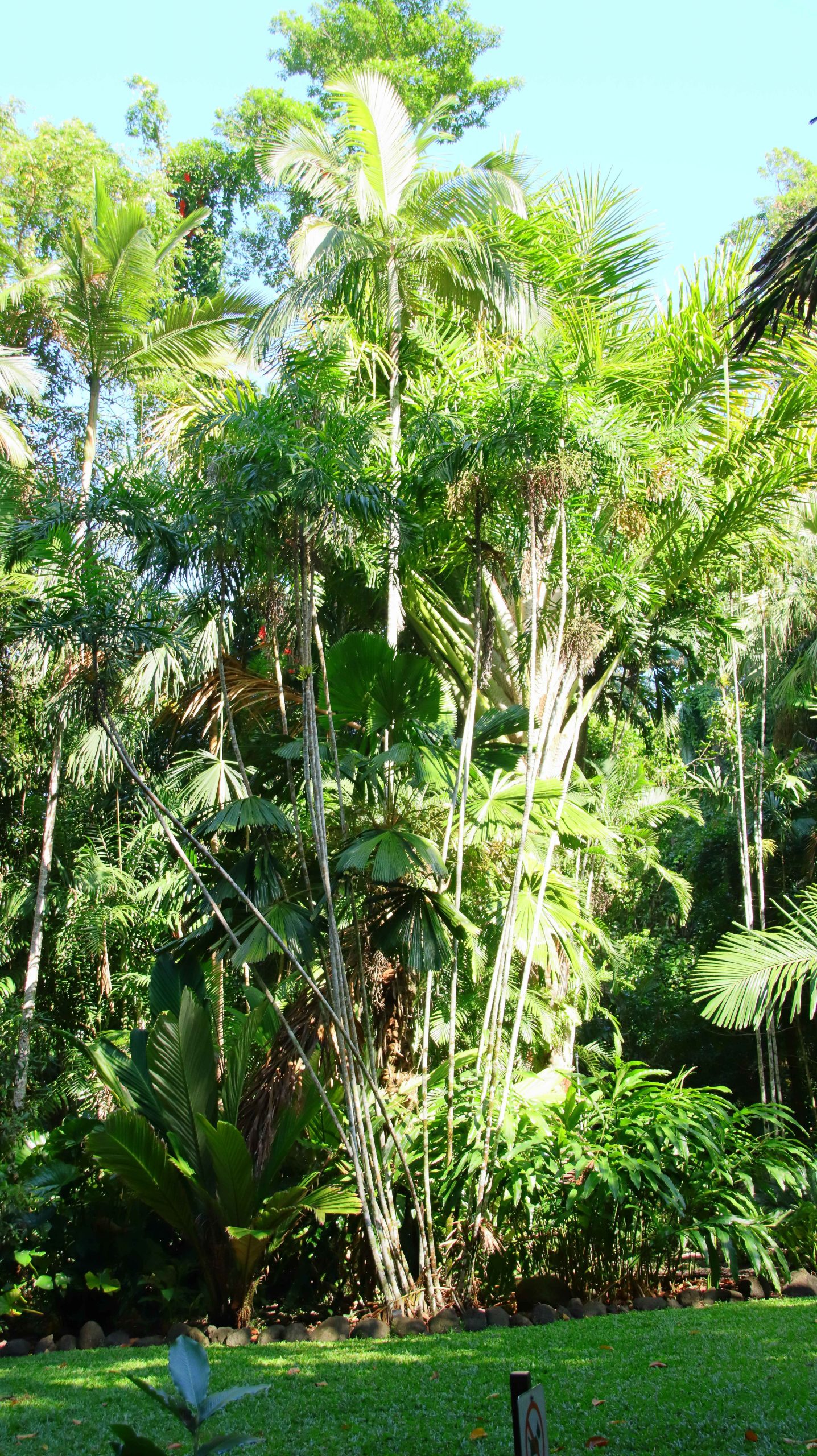
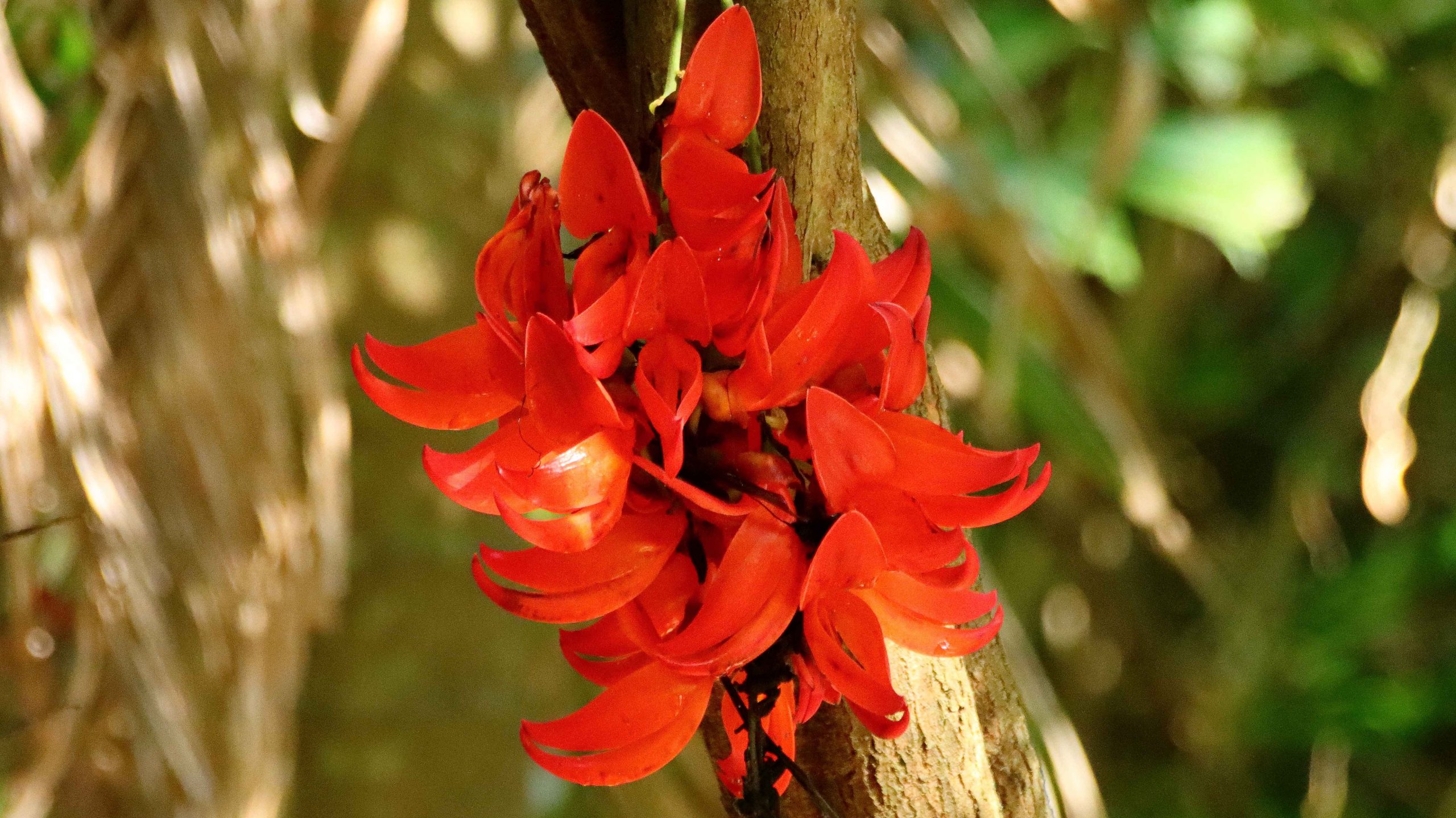
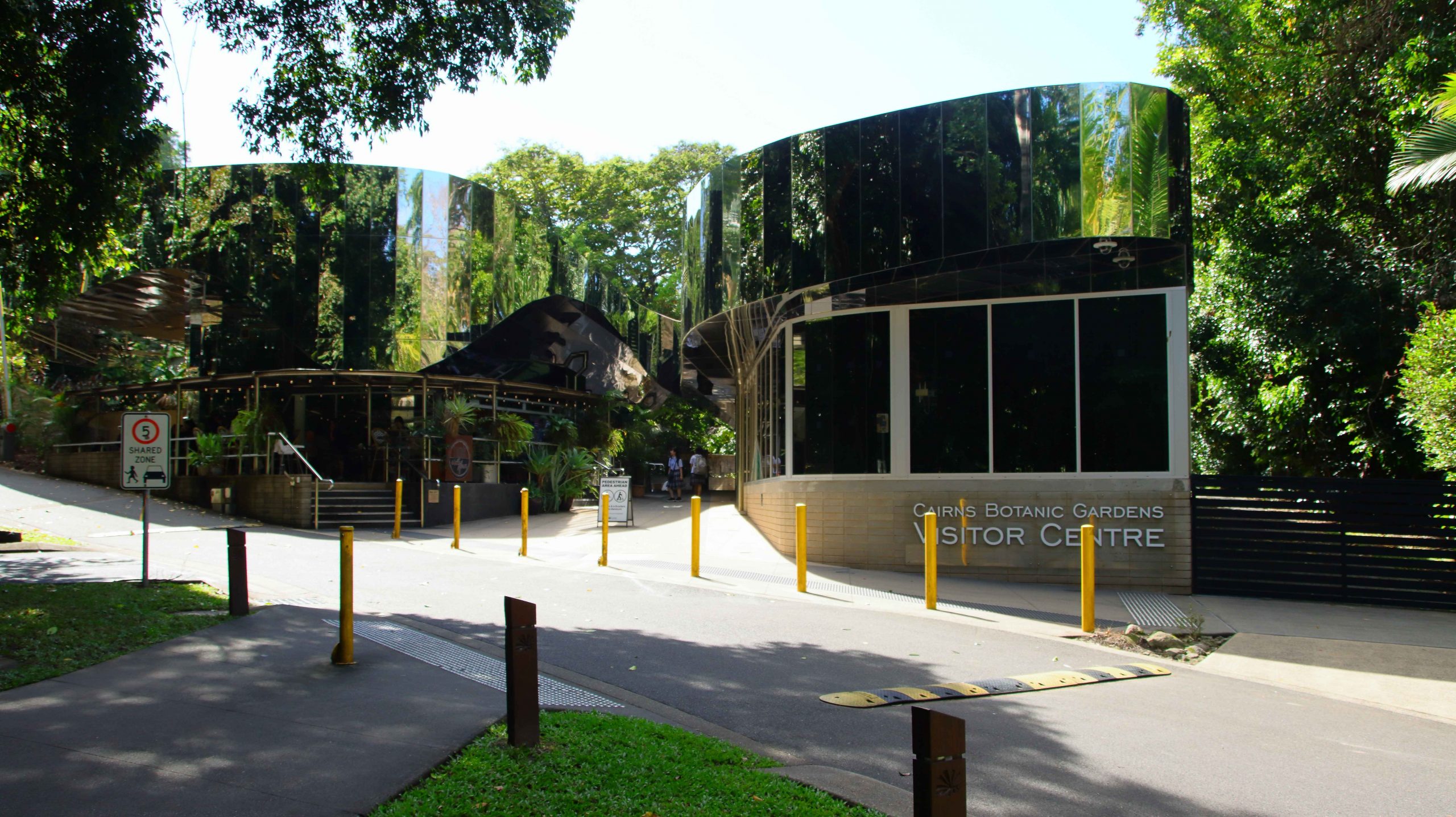
First of all, we visited the Cairns Botanic Gardens. Unsurprisingly, it is a tropical rain forest paradise. A day at least could be spent wandering around the paths and roads. Even longer if you include the visitor centre and its coffee shop. I limited myself to about half an hour, but it was time well spent.
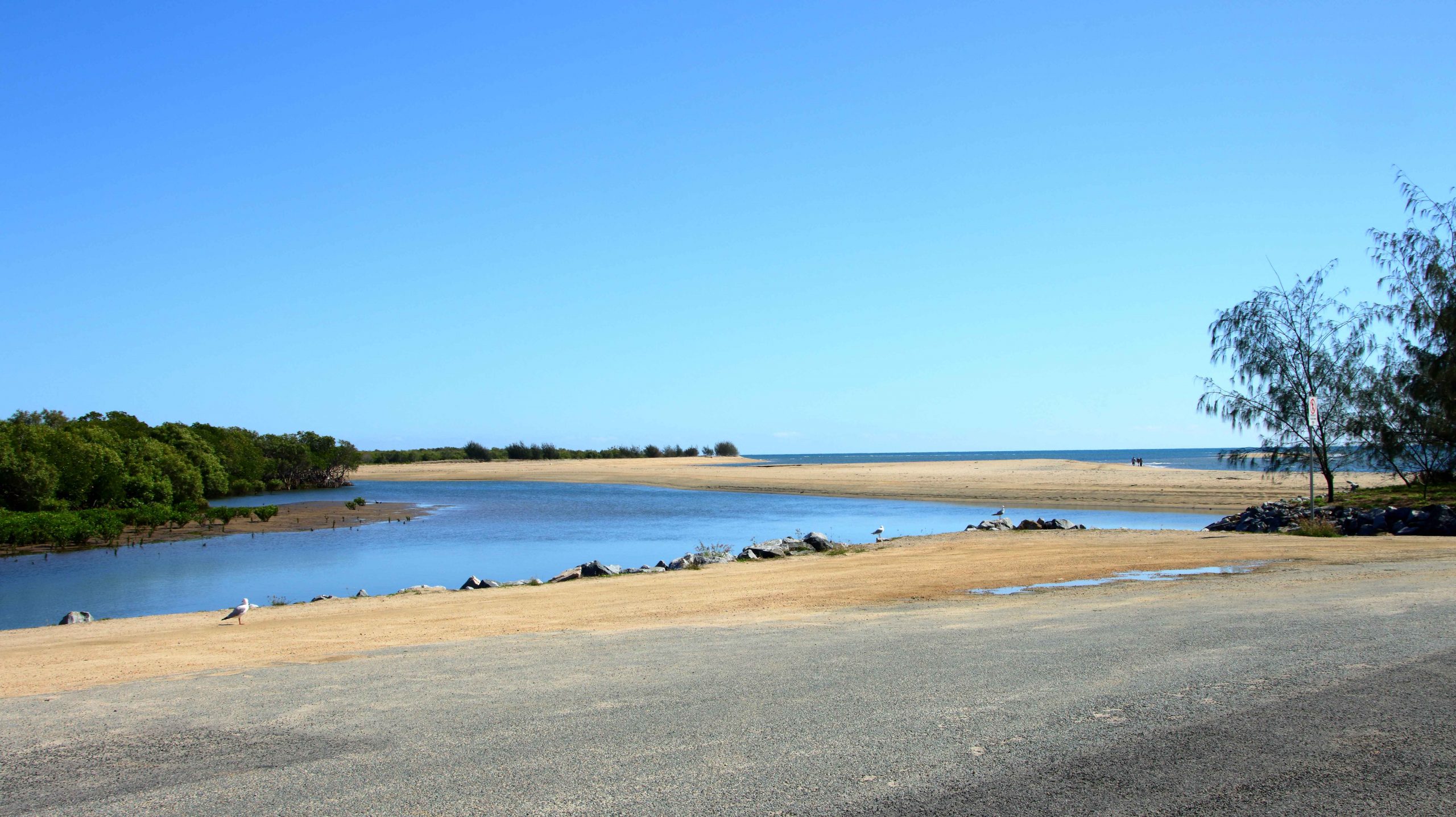
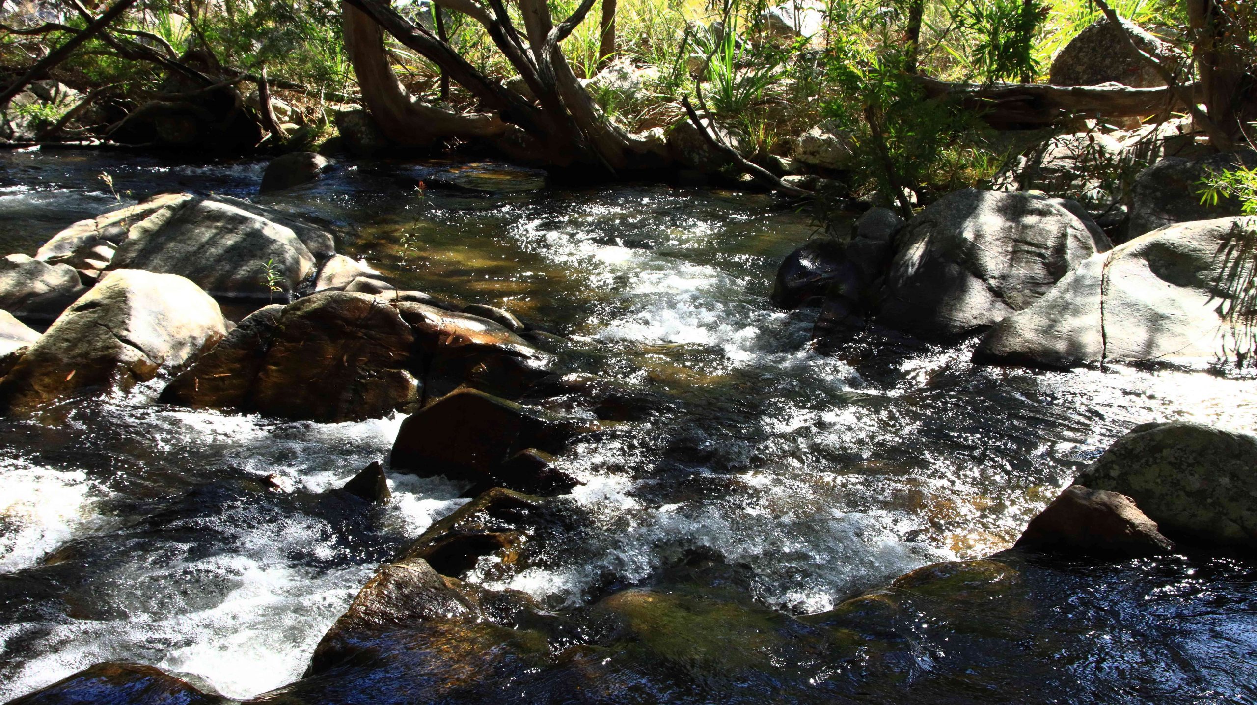
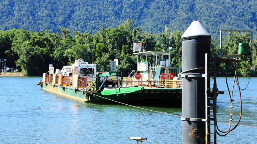
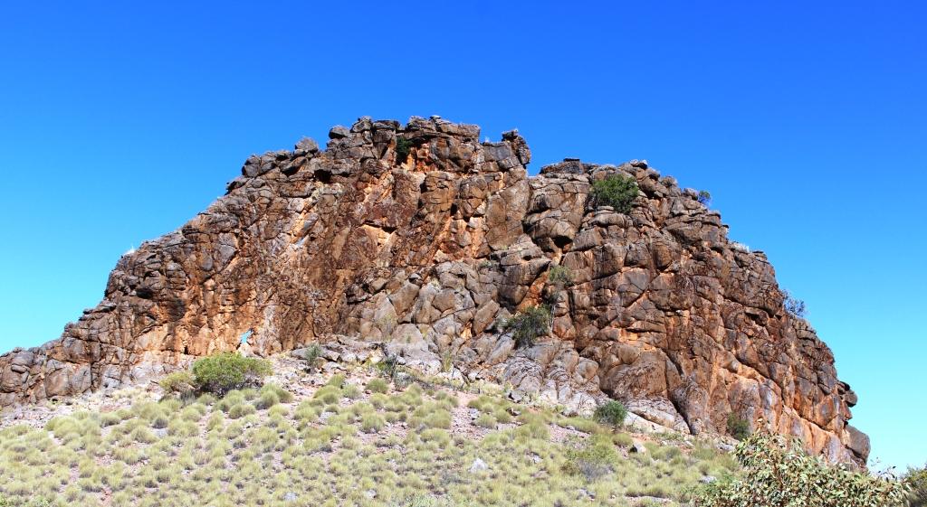
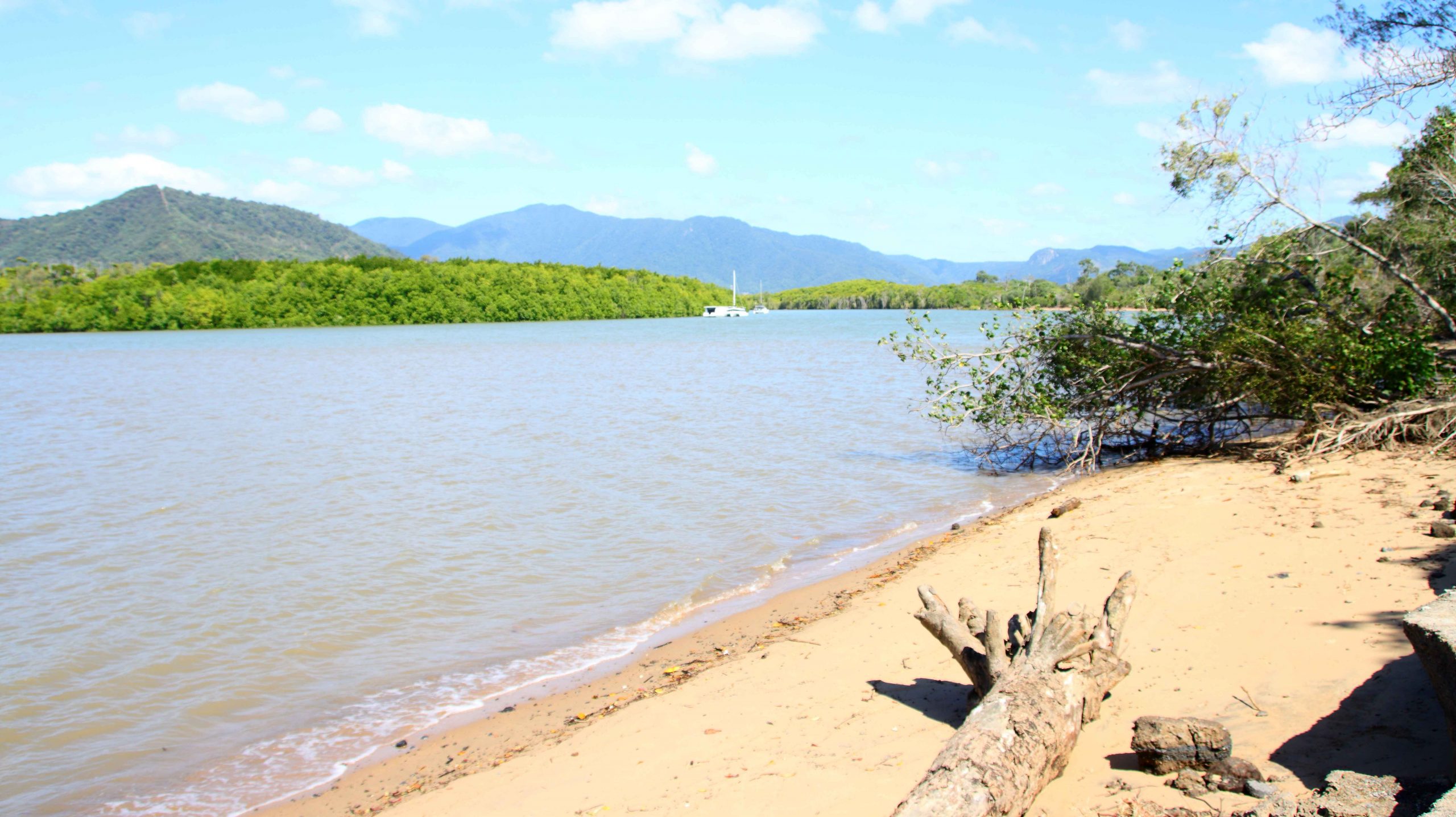
From the gardens we drove to Machins Beach to see the mouth of the Barron River. The banks of the stream and the beach seem to be popular fishing spots and a location for some quiet free camping. But I could sense those Crocodiles lurking just beneath the surface of the water. Much happier in our unit.
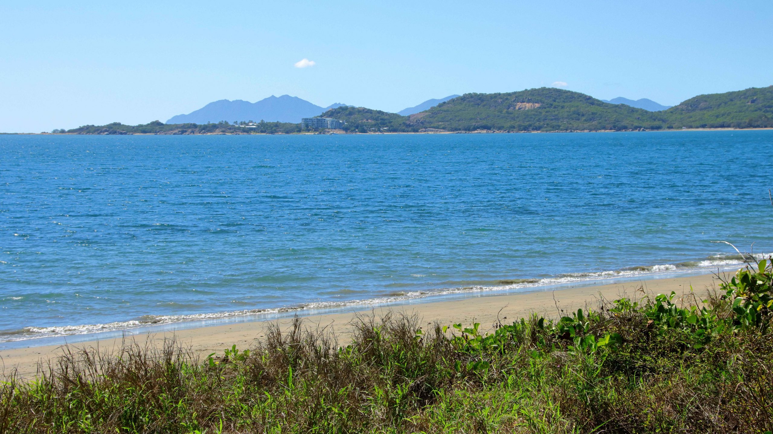
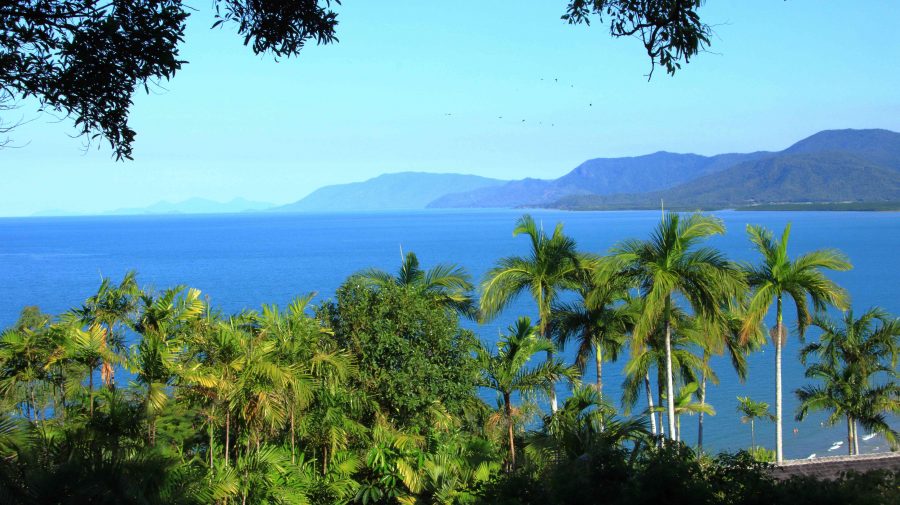
Palm Cove is one of our favourite places. We have fond memories of our brief stay there a couple of years ago. As we were passing, we called in for coffee and the views of the Coral Sea and Double Island. Double Island used to be home to a luxury resort. Cairns council is conducting a public conversation in an attempt to decide its future tourist use. A decision in principle seems to have been reached to redevelop it.
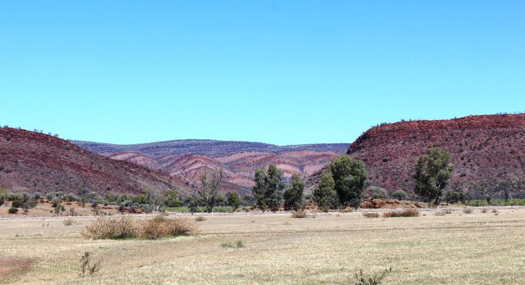
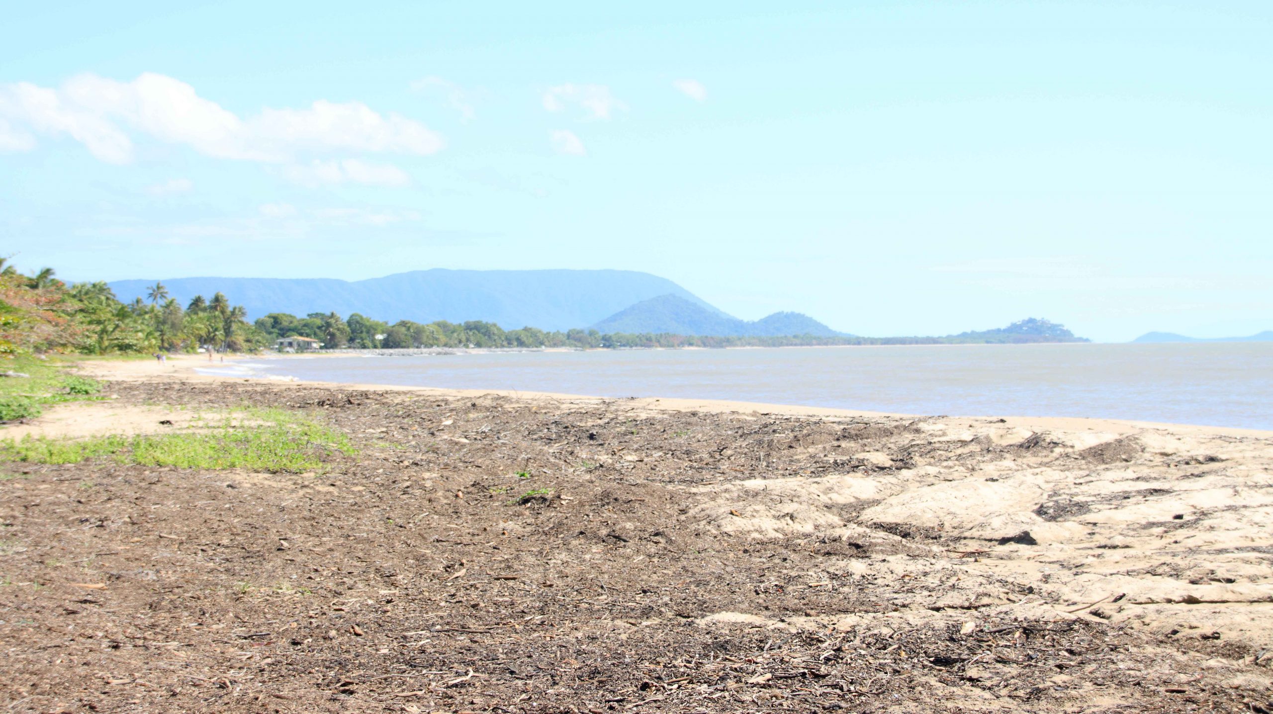
We drove on along that magic stretch of coast. Work is still in progress to fully restore the parts of the Cook Highway damaged in the deluges that followed Cyclone Jasper in December last year. Just a couple of delays were involved.
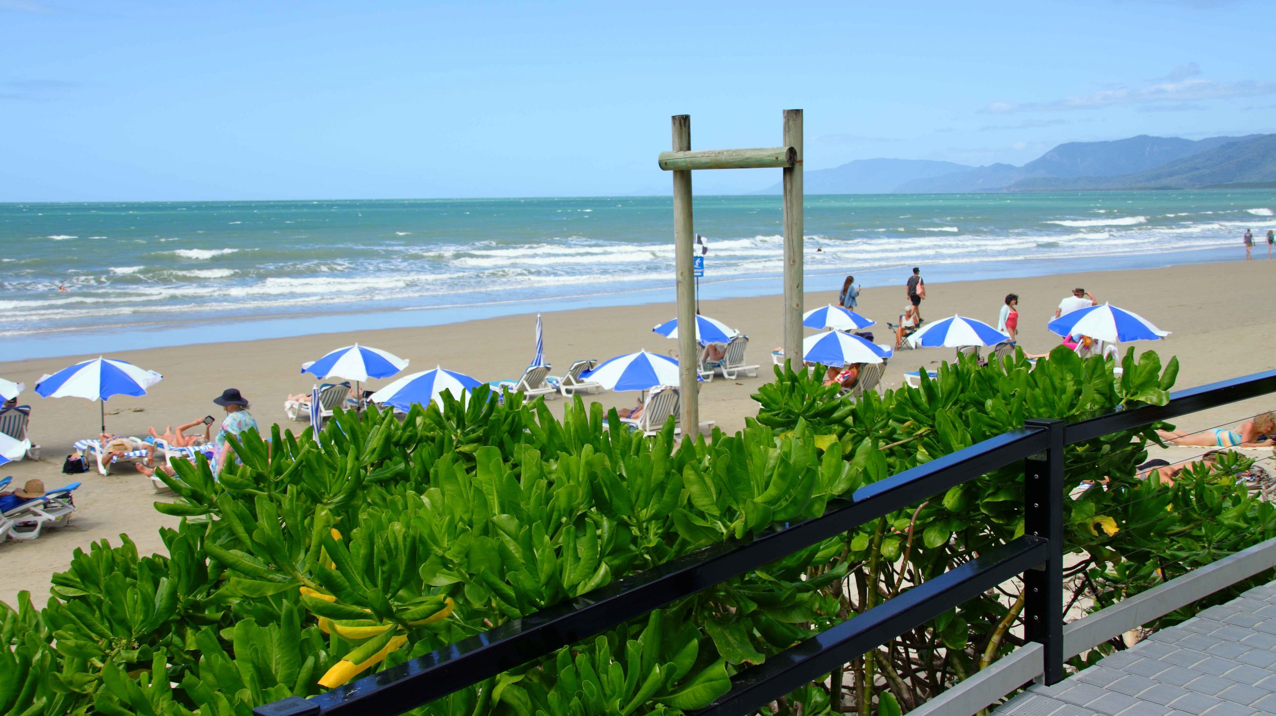
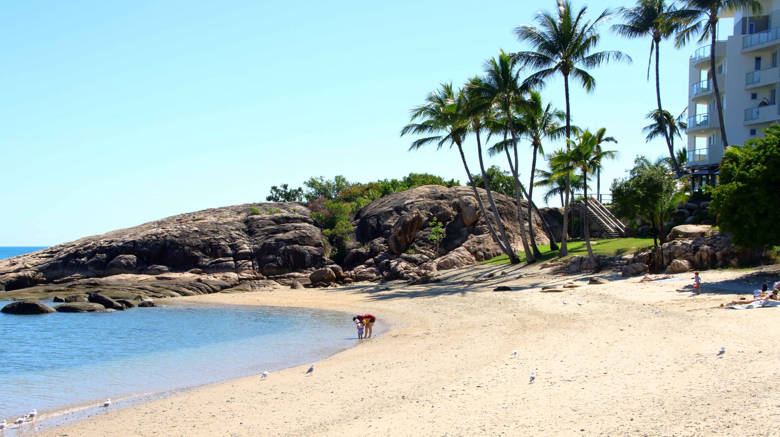
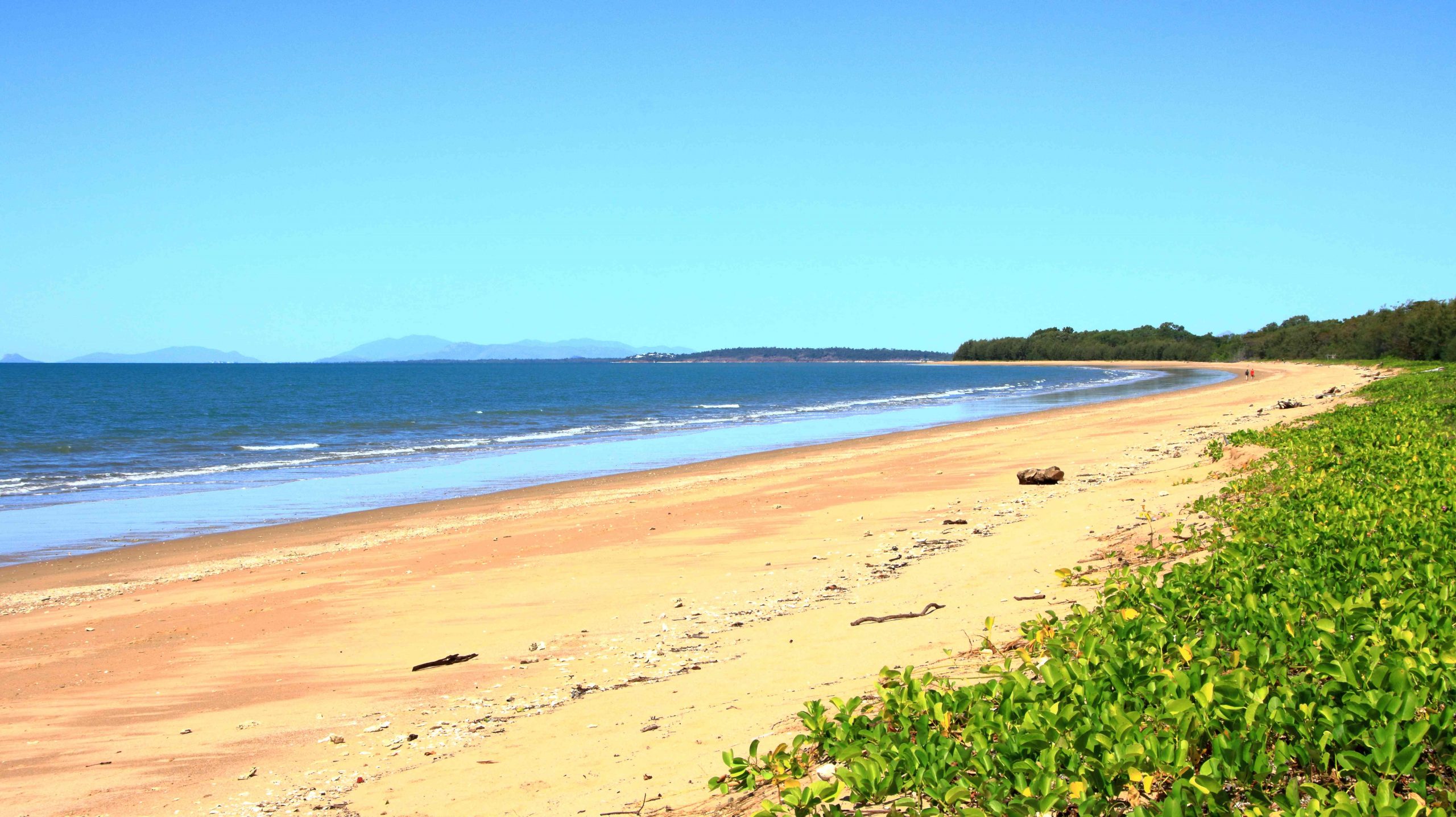
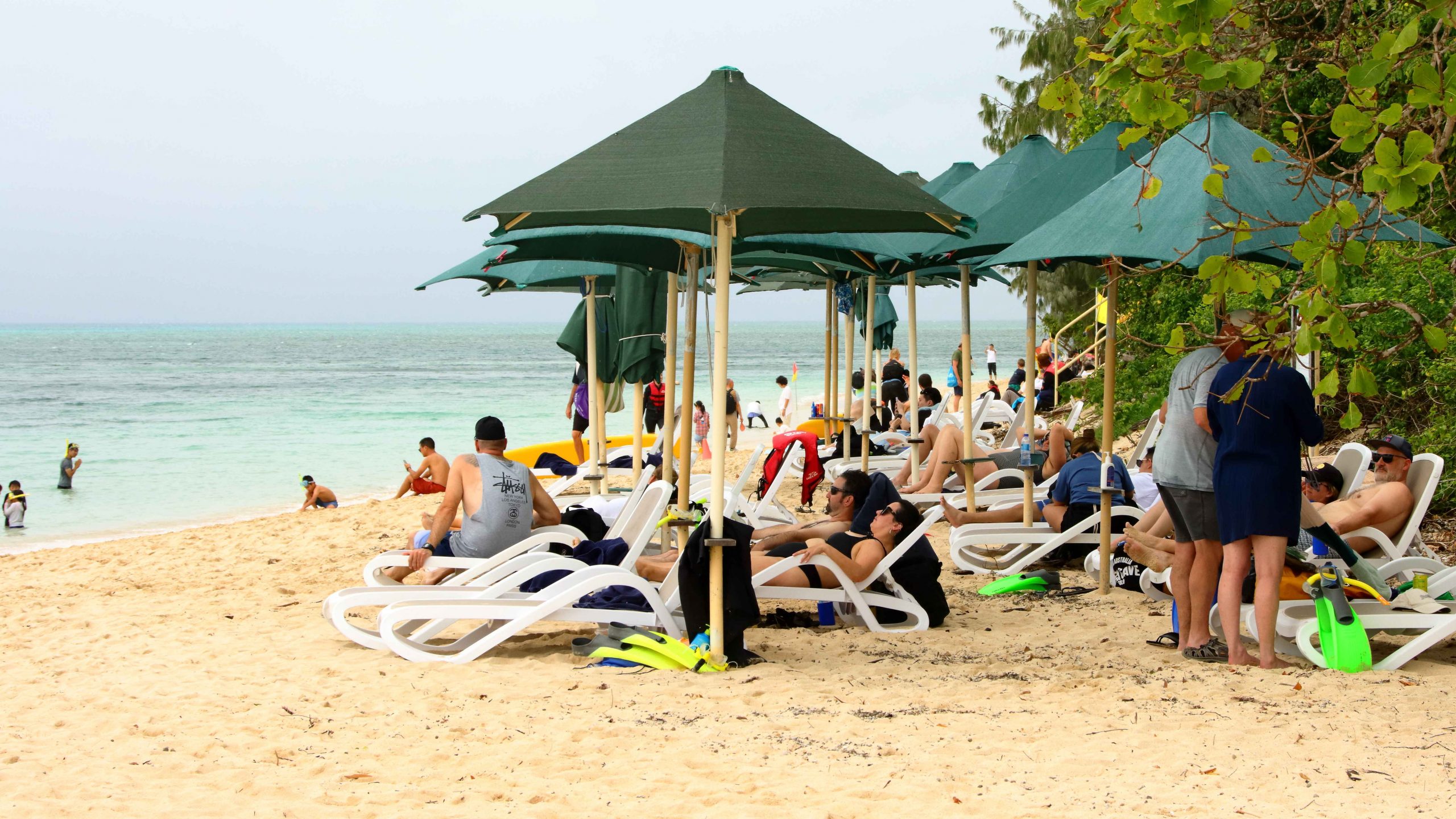
Four Mile Beach has seen some improvements at its northern end since we were last in Port Douglas. A new amenities block with changing facilities has been completed. Two new casual dining establishments now offer food and drink. New ramps and stairs provide improved access to the beach. In addition, there is now an area of striped umbrellas providing shade from the sun over sun lounges. The beach is rather a windy spot so I am not sure how they get the umbrellas to stay in place.
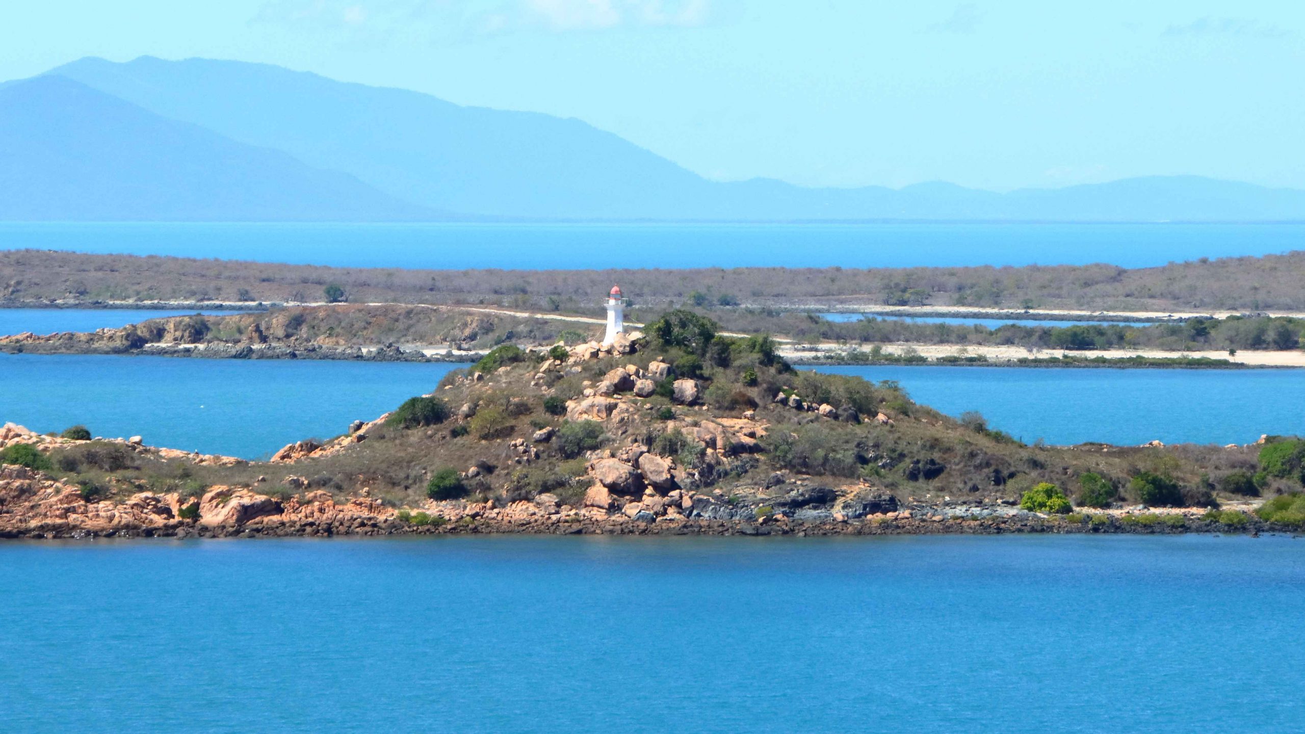
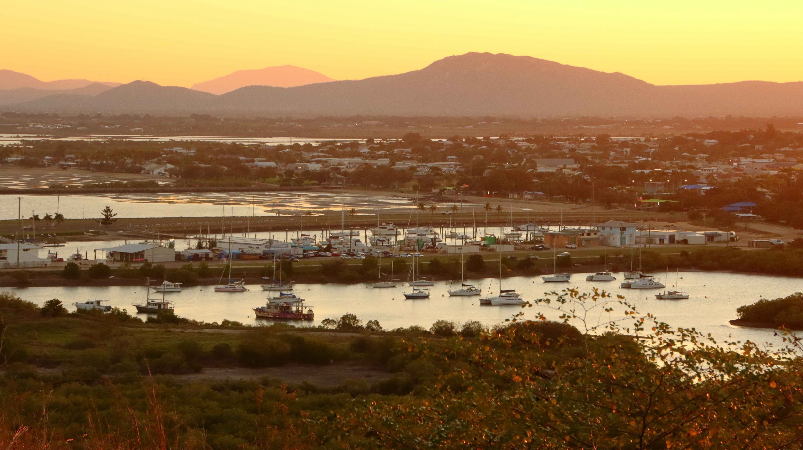
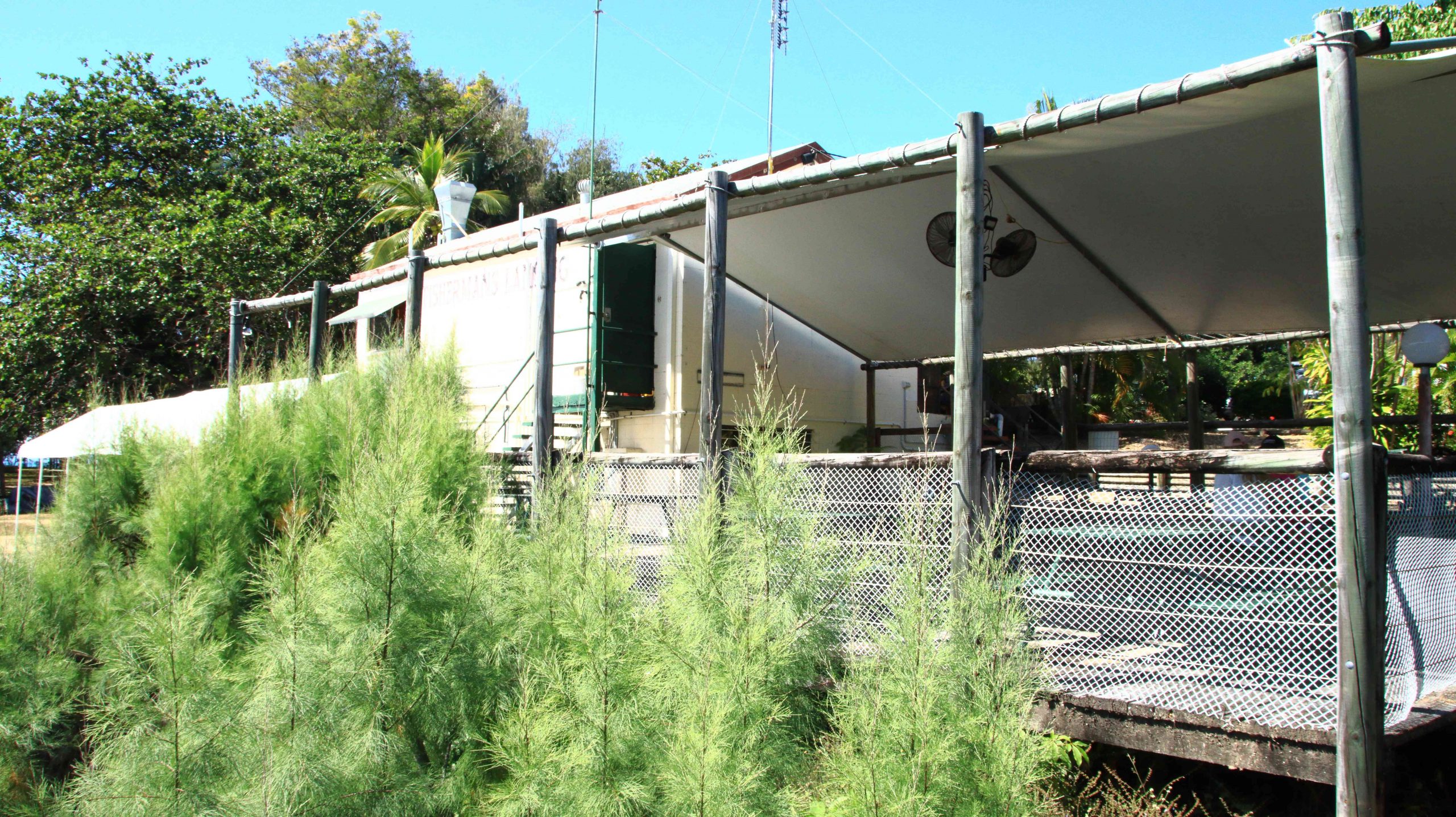
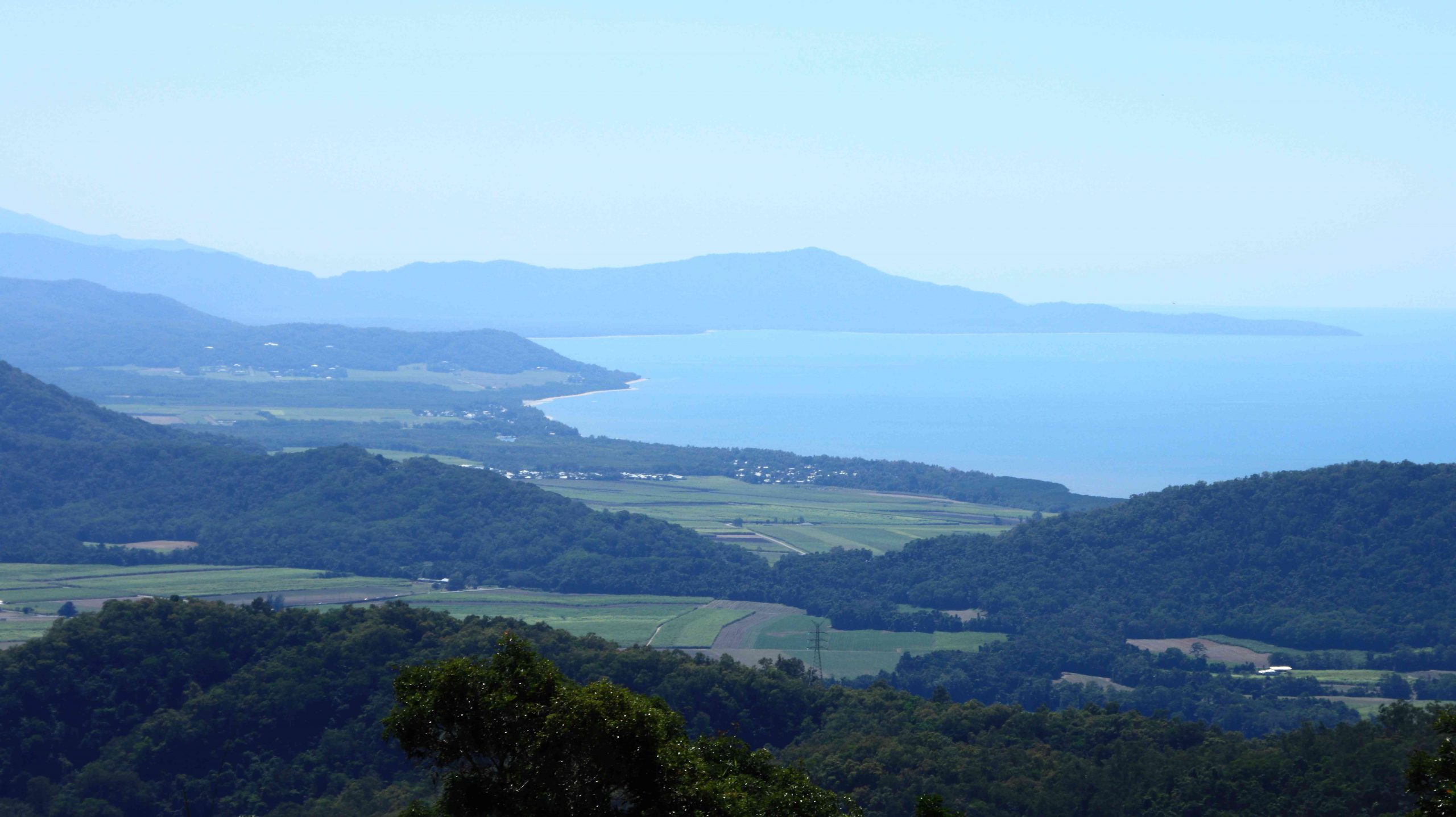
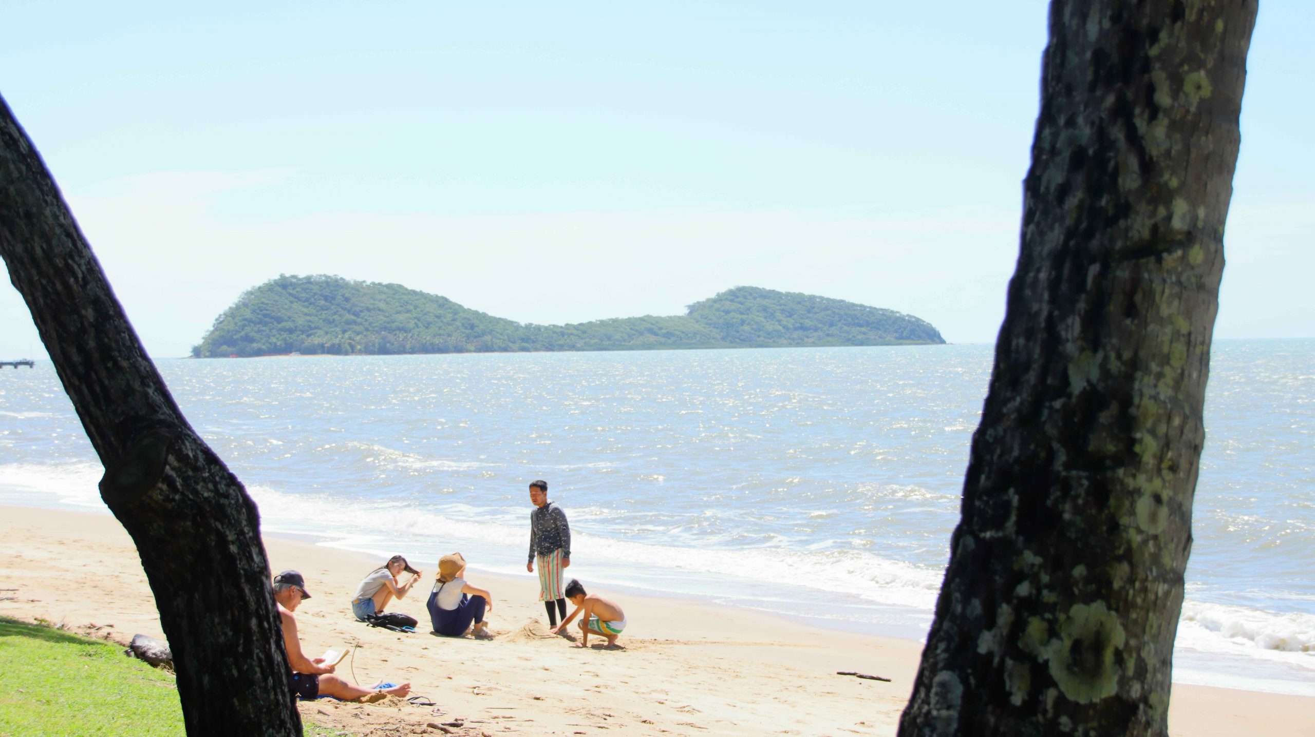
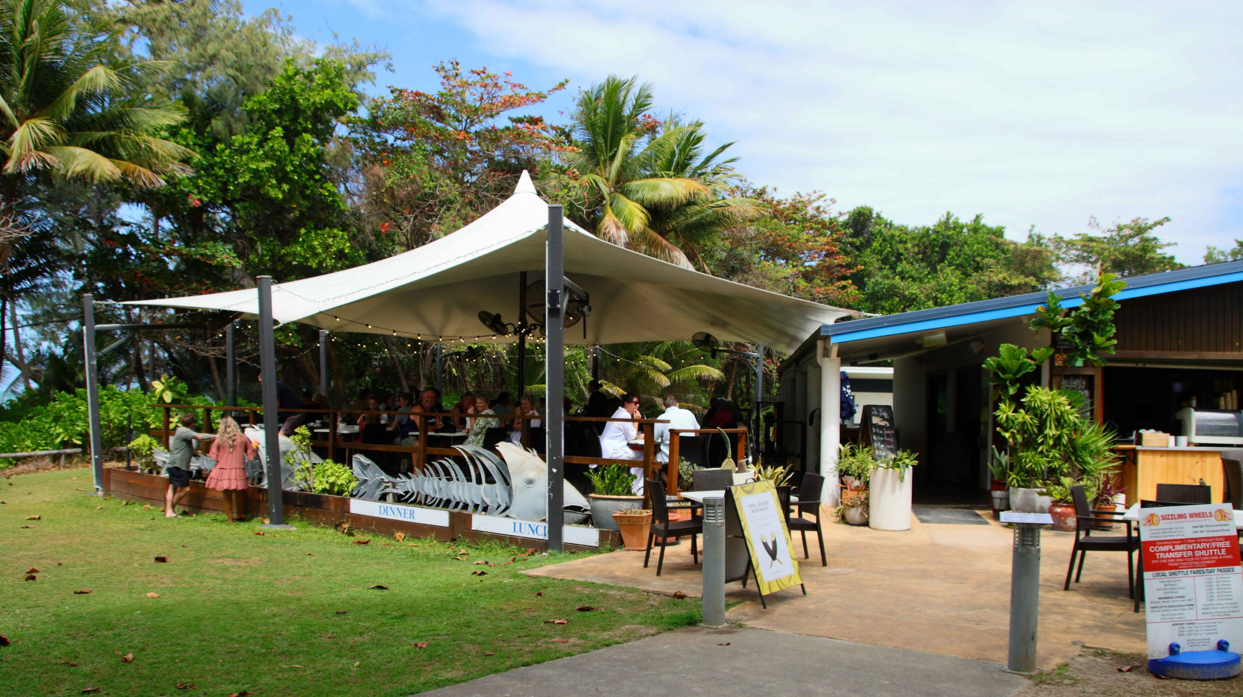
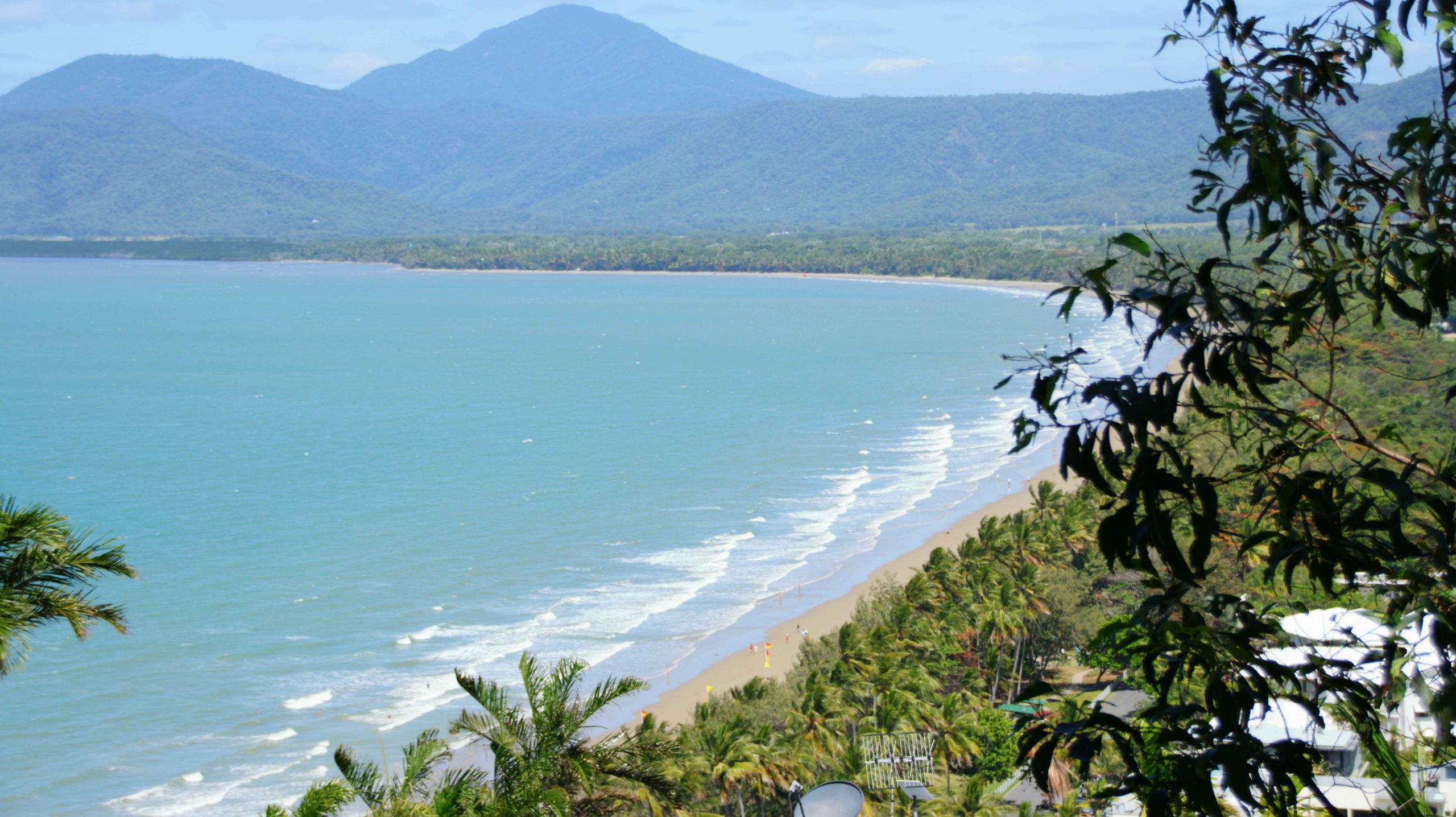
We made our normal visit to Flagstaff Hill to view, and photograph, the town and beach. Then off in search of a parking spot near Macrossan Street so that we could find a place for lunch. We chose a street side eatery called the Iron Bar. It was a bar, substantially constructed of corrugated iron. We dined from large share taste seafood platter.
The drive back to Cairns was incident free, with a repeat of the road works stops on the way up, but with us facing the opposite direction.
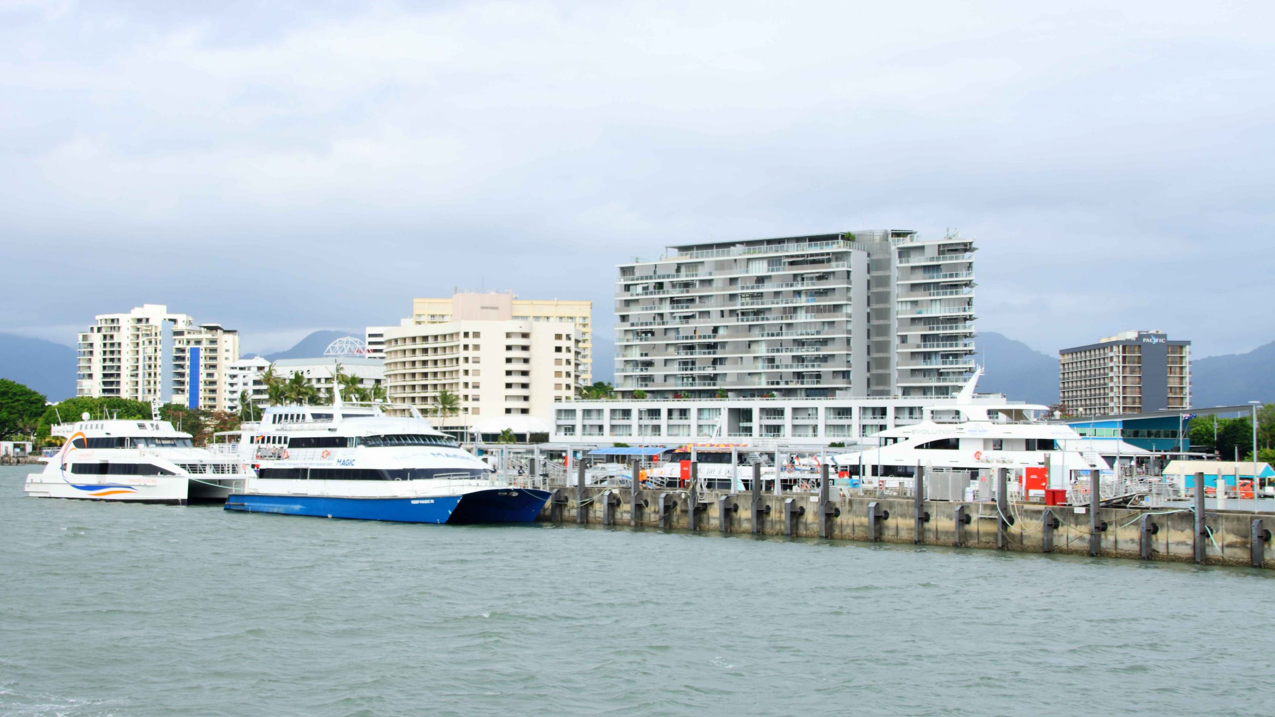
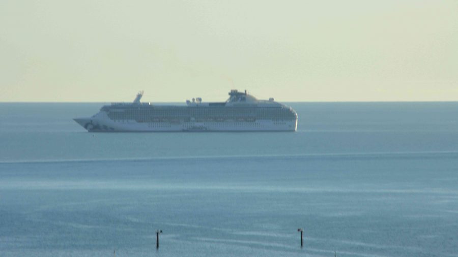
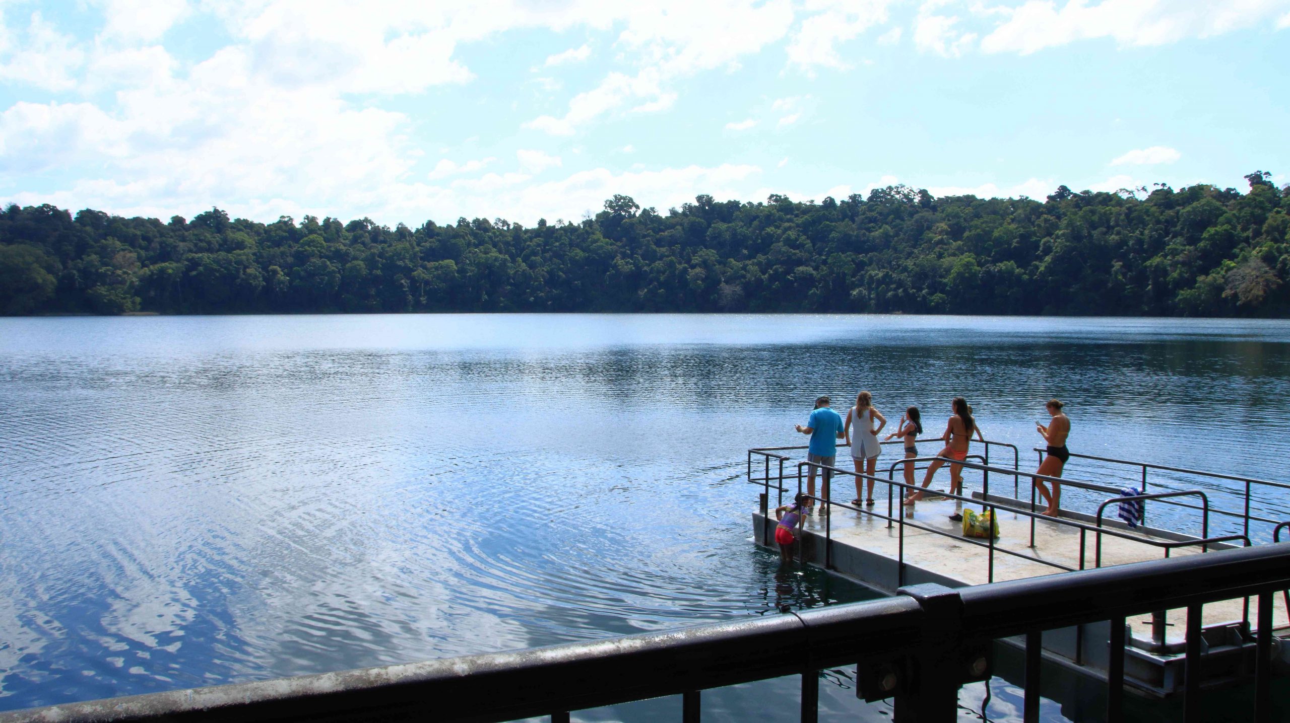
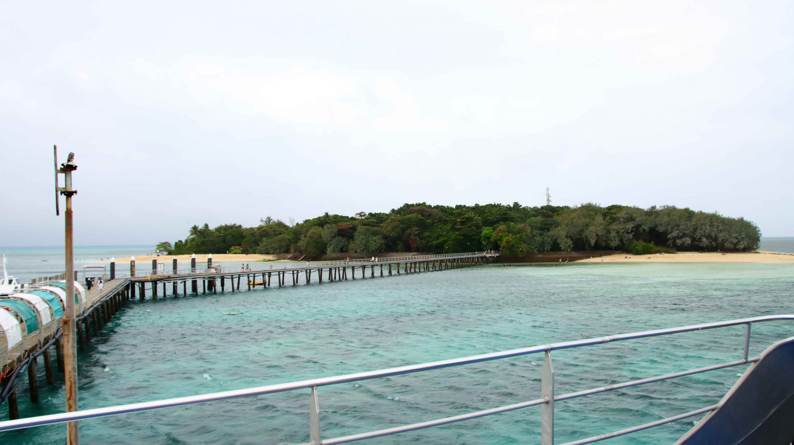
Friday was our last day in Cairns. We had booked a ferry trip to Green Island. It was over fifty years since we had last visited. Since then the Jetty has been extended, the underwater observatory had gone and a resort has been built.
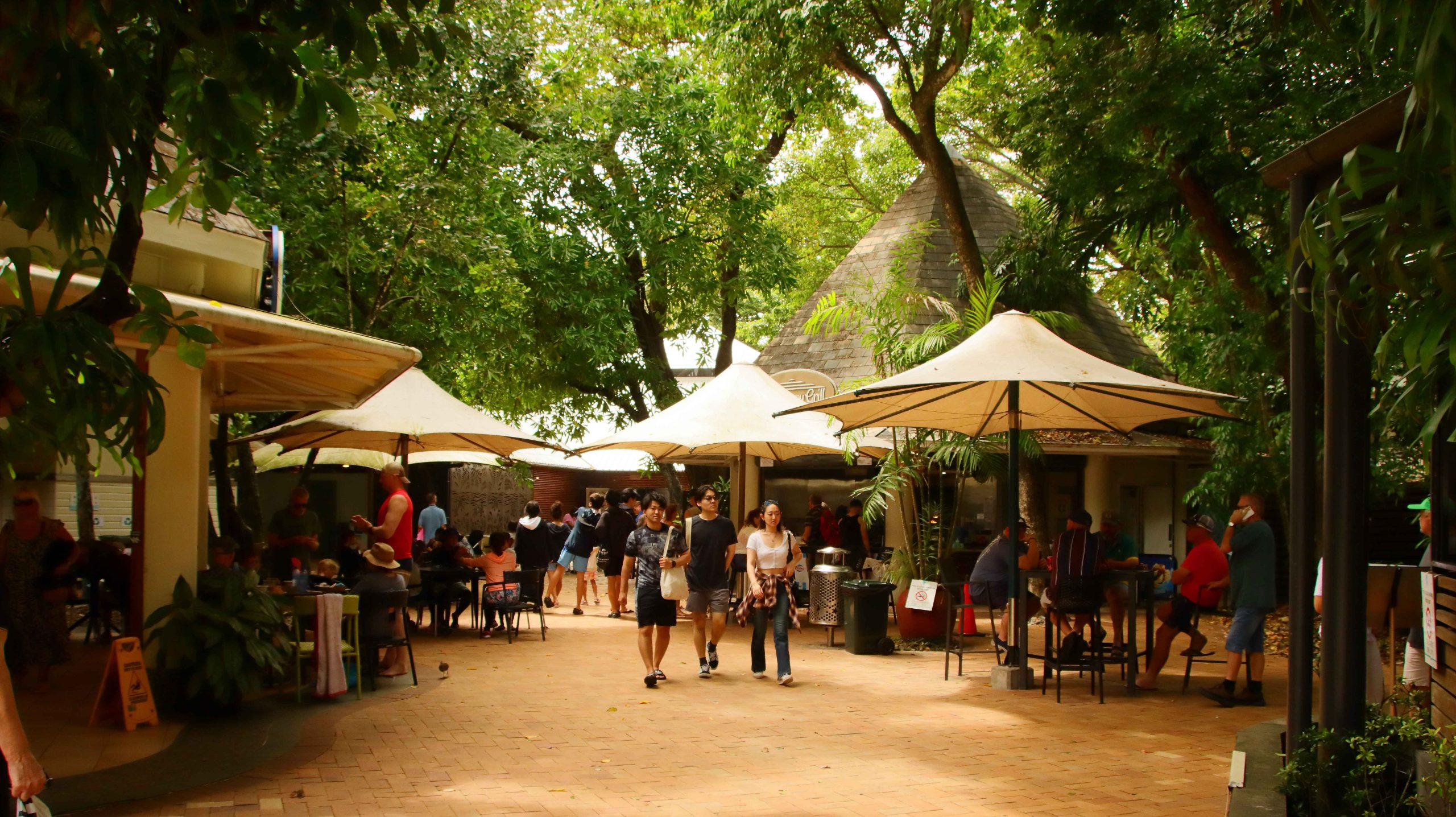
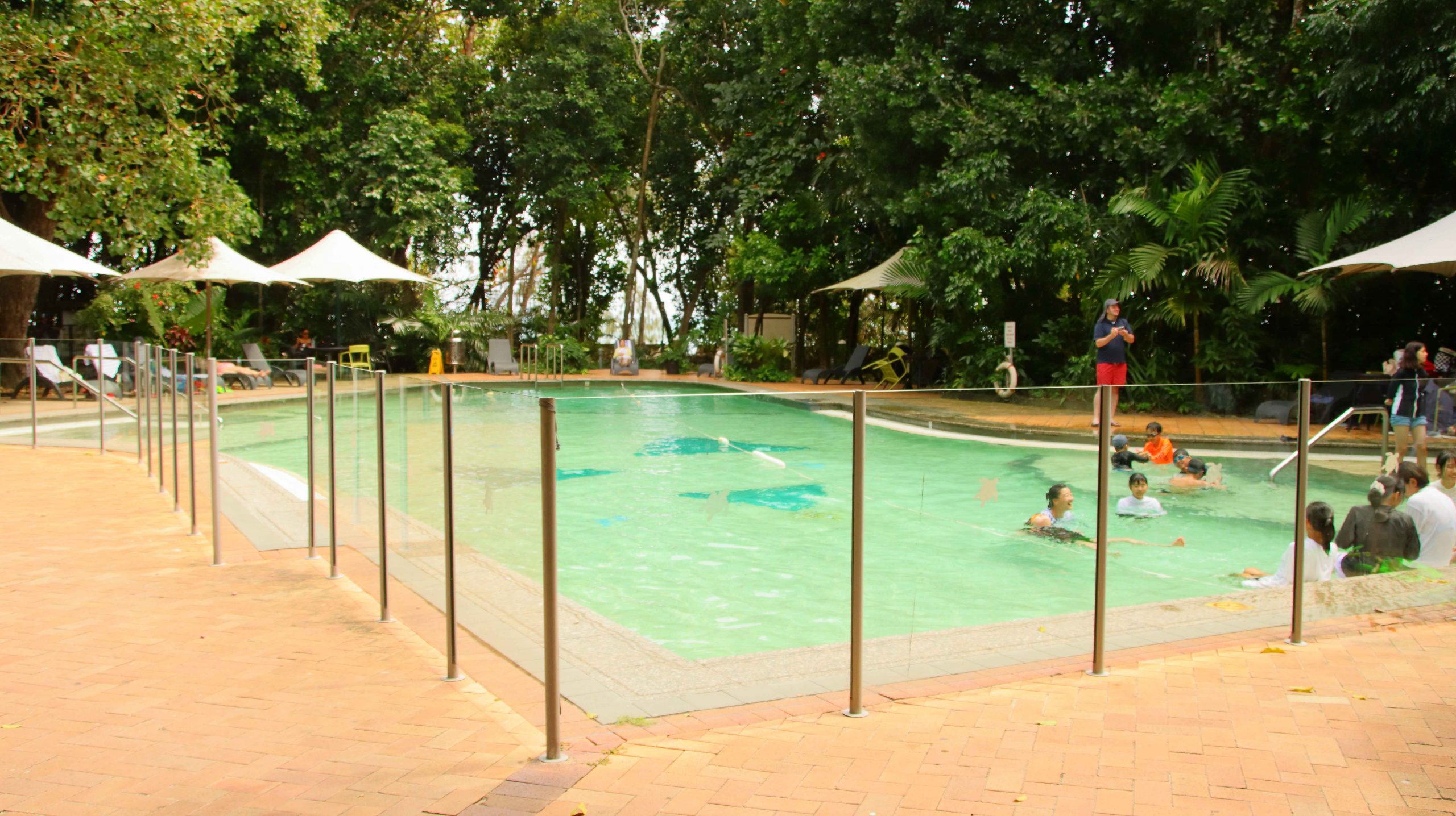
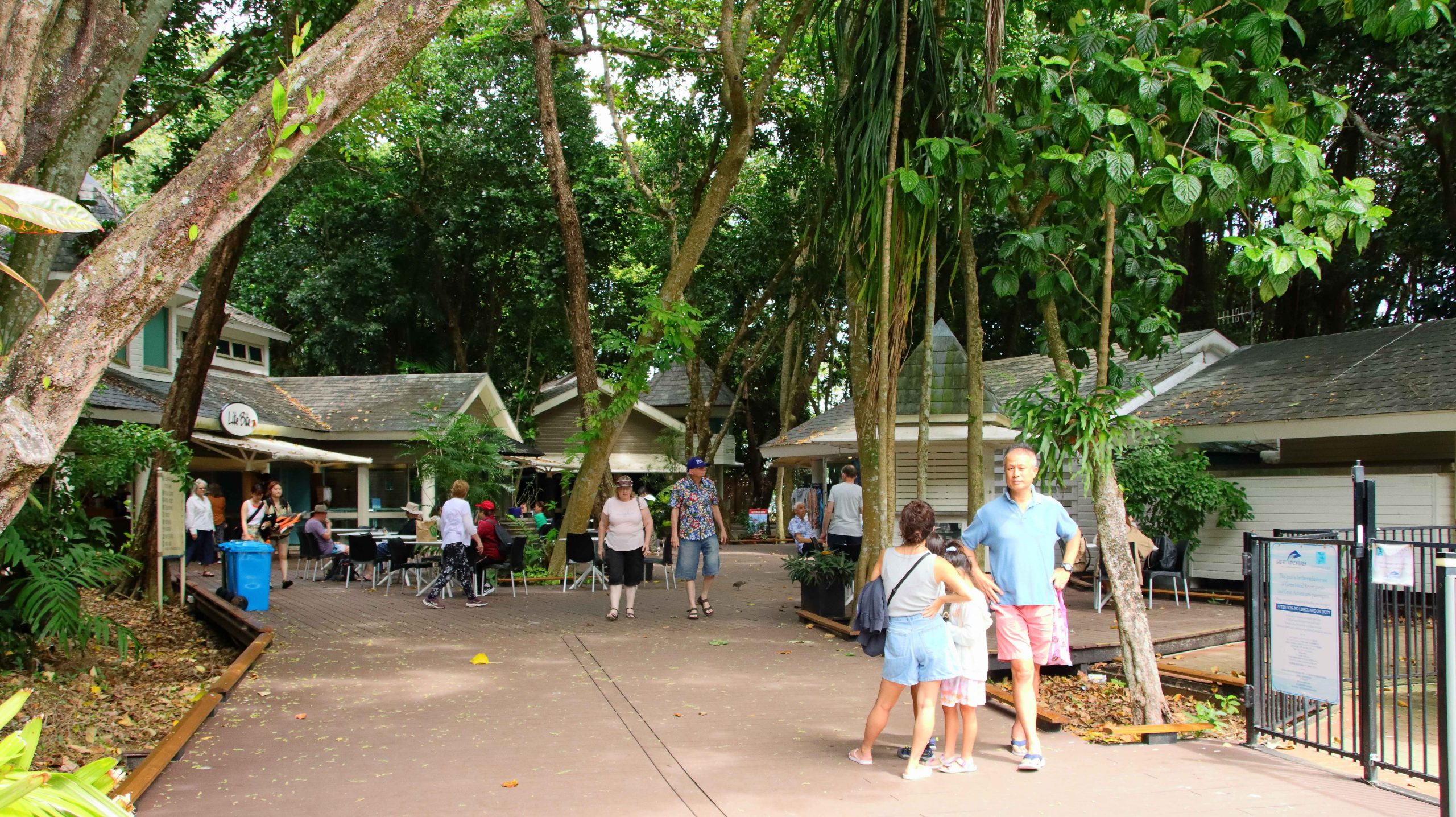
It was not a brilliant day, with strong winds and drizzle periods. The sun was in hiding for most of the day, but it was still about 25C, and comfortable if you were sheltered from the direct wind. We established ourselves in the public area near to the resort reception. There were lots of youngsters about. The pool generated a continual cacophony of sound.

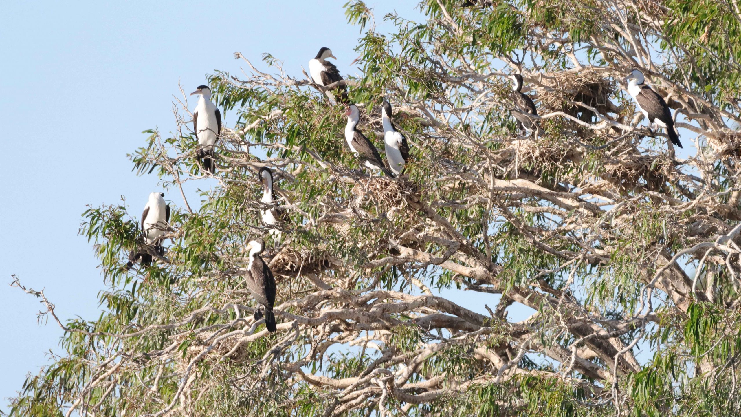
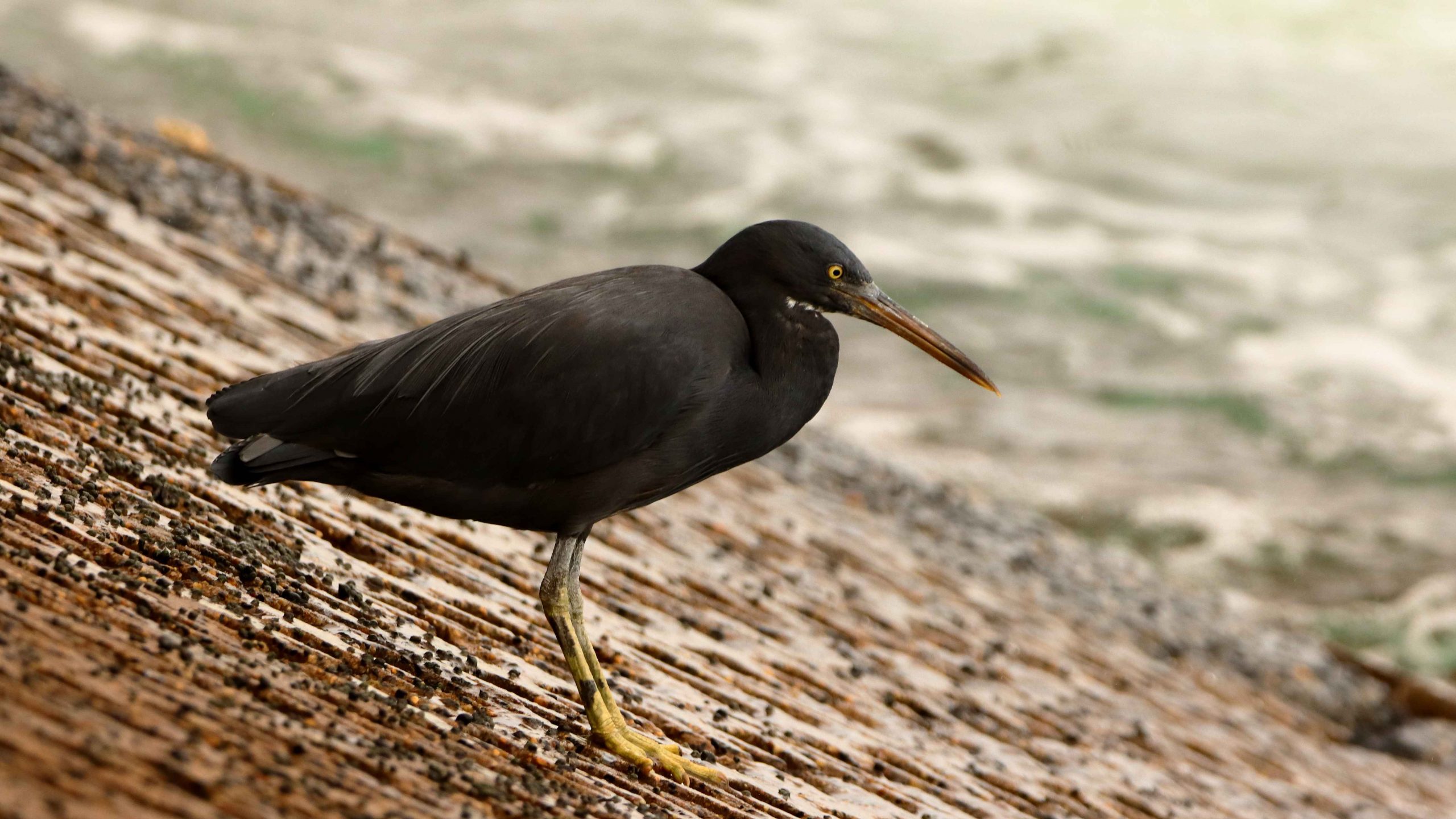
The first time that I photographed a Buff-banded Rail, I thought that I had found something special. But at Green Island they are as common as Pigeons in a city park. They feed off tourist food scraps and are deliberately fed by some tourists, including us.
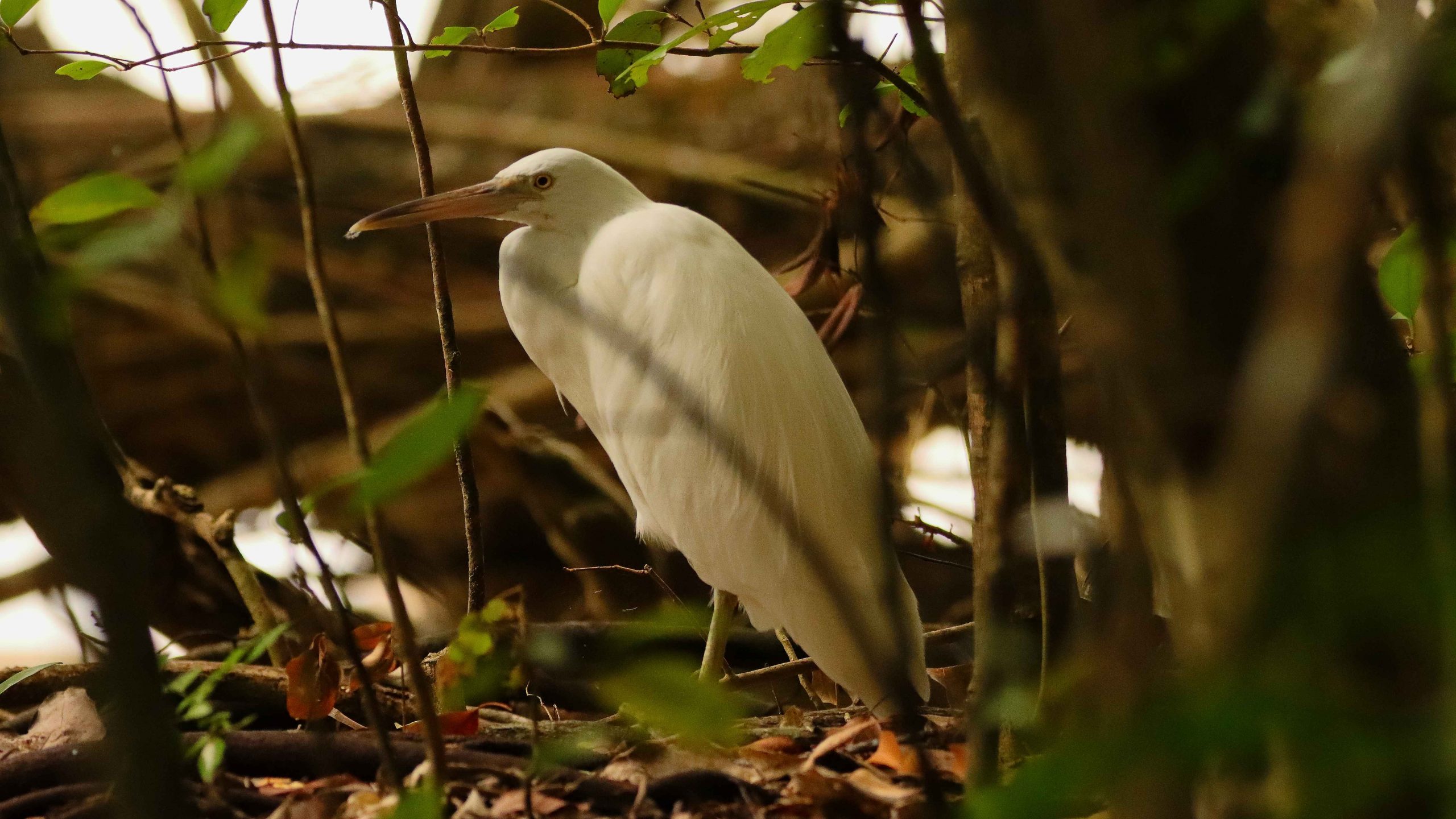
Green Island is a true coral cay. To make walking easier than ploughing through soft sand, extensive boardwalks have been built, including one that leads to the far south-east corner. Visitors go there to swim on calmer days or to kitesurf on days like we were experiencing. I walked there looking for birds that some claim to be quite profuse. But that must be on days with less wind. I found a few, but they were all in hiding from the wind. They included two Eastern Osprey hiding behind a chain-wire fence. They must be regularly fed, so don’t need to go fishing. Or perhaps it was too windy for them too.

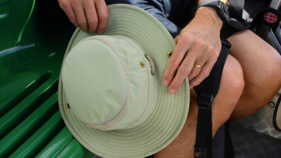
With departure time near and rain squalls about, we made for the ferry. On the last unprotected stretch a gust of wind took my prised Tilley hat, which will now be on the floor of Davy Jones Locker. Pity! I will need to replace it as I had become quite attached to it. But obviously it was not attached to me quite well enough.
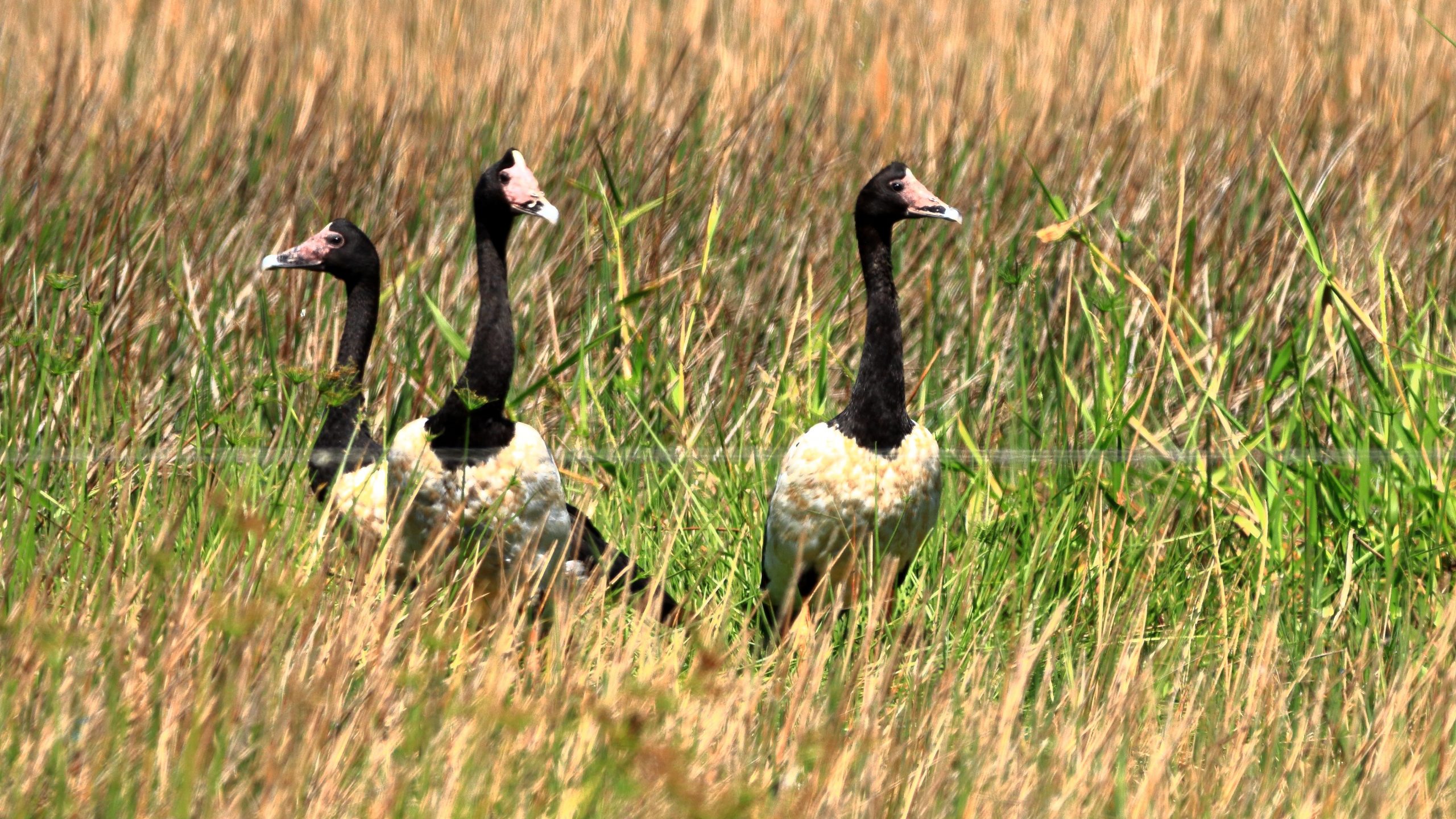
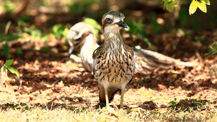
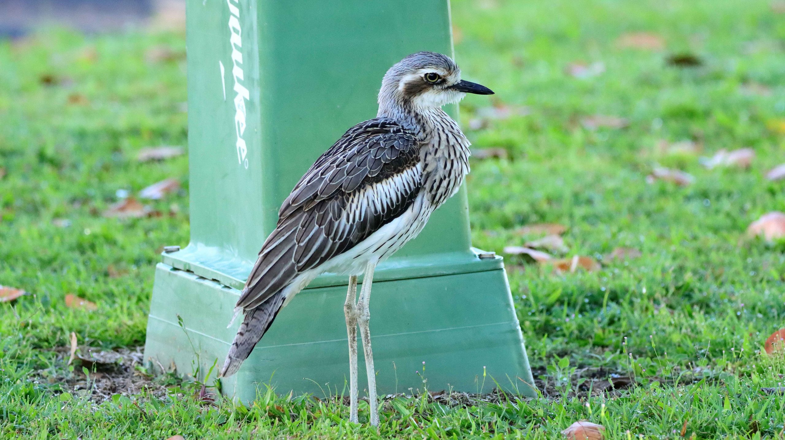
Back in Cairns the weather was fine. We were welcomed back to our parked car by the largest group of Bush-stone Curlews that I had ever seen. But my hands were too full of bits and pieces from the day out for me to take a photo.
We returned to our unit via a laundromat. The washing had been accumulating.