Our intention has been to spend just one night at Alice Springs. Now it seems that we are to be here for a week. The main issue has been the uncertainty of weather predictions. We abandoned plans to take the van into the ranges to the east and west of the town in favour of setting up in a central location and doing day trips. Saturday was to have been very windy and it was to start raining on Sunday, continuing into Monday. The strong winds did not eventuate and the rain has been deferred until Tuesday and Thursday. Patience is called for!
And to demonstrate meteorological variability we had a minimum of 3 C on Saturday and a maximum of about 32 C yesterday.
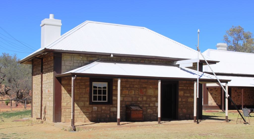
The original telegraph station and post office in Alice Springs
Having passed two historic telegraph stations on the way south, we thought we should take a closer look at the restored station at Alice. The buildings were initially well built and have been carefully restored. A restoration of the original office environment, in the original office, has been well done, including sound effects of messages being transmitted by Morse code. Residential buildings have been fitted with furniture of the period and a school room is functional. School children are able to stay overnight, playing the roles of original characters.
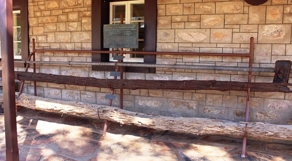
Samples of original and replacement telegraph poles
The tour guide’s spiel covered the explorations of John McDowell Stuart, who made no less than six trips into the area. The telegraph line was built along the route of his final exploration, under the supervision of Charles Todd. The line was built with poles cut locally as they progressed, but termites proved the folly of that option, so the timber posts were soon replaced with telescopic tubular steel posts.
Where I got my warm inner glow
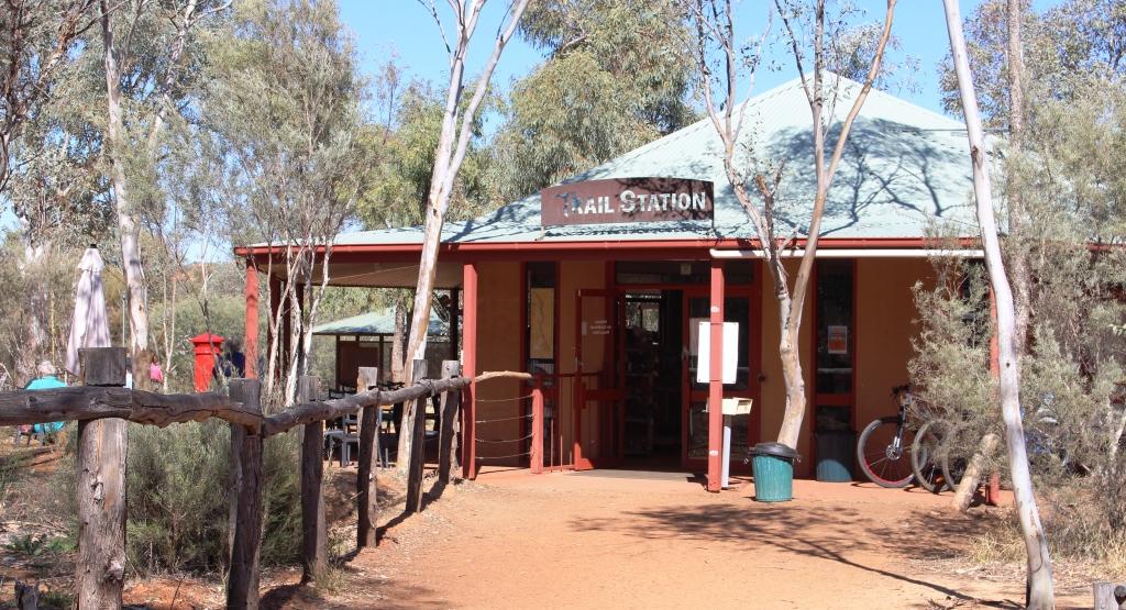
The spiel also included a section on the “Stolen Generation” and included several highly contestable claims. One of the buildings has been used to set up a display on the subject. I guess it gives some visitors a warm inner glow. I achieved my warm inner glow from a cup of coffee and an excellent vanilla slice at the Trail Station coffee shop that also acts as the gateway to the Telegraph Station.
The telegraph line was an important step in Australia’s development as it linked to the newly laid cable under the Timor Sea and ended our communication isolation from the world, particularly from England.

The grave of Rev John Flynn outside Alice Springs. The stone came from The Devils Marbles near Tennant Creek
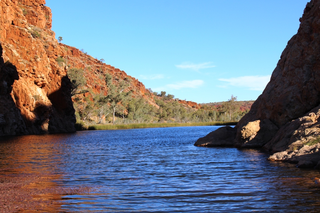
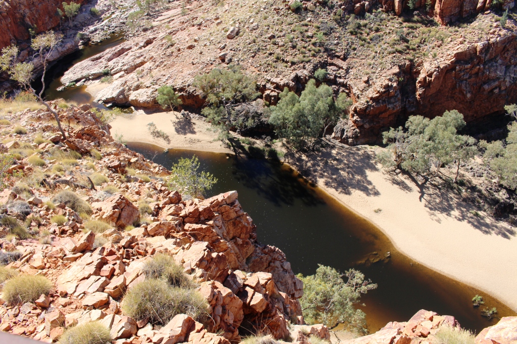
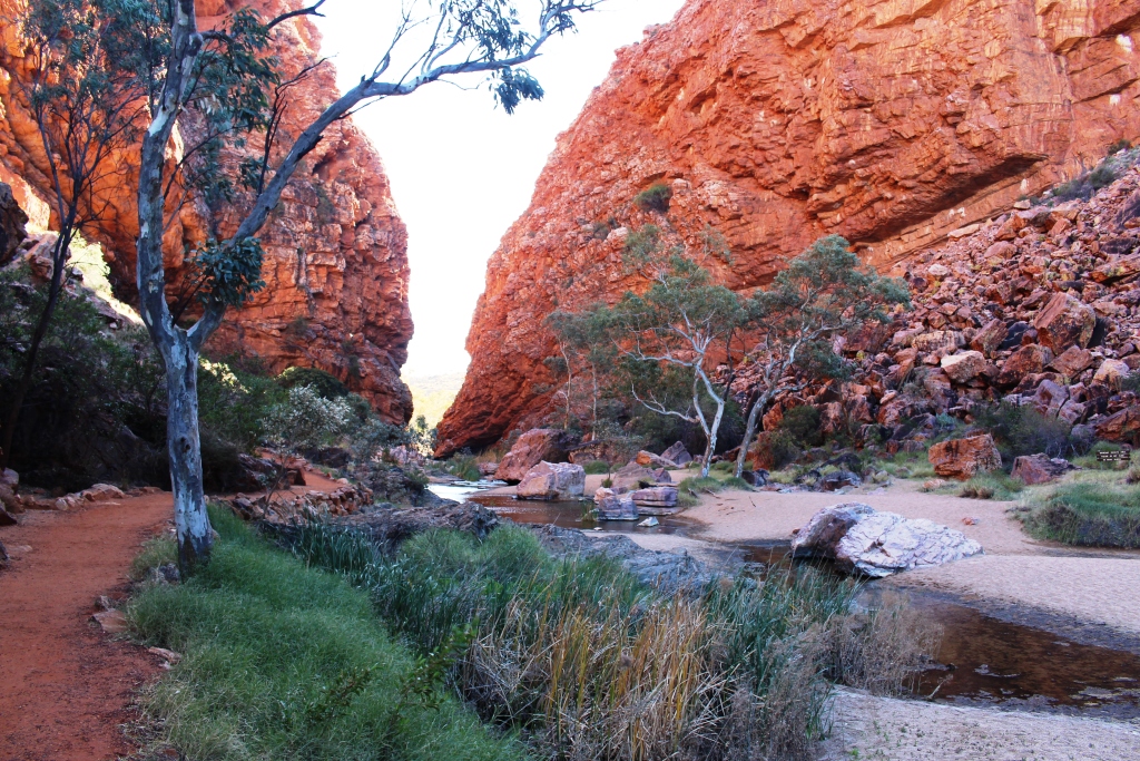
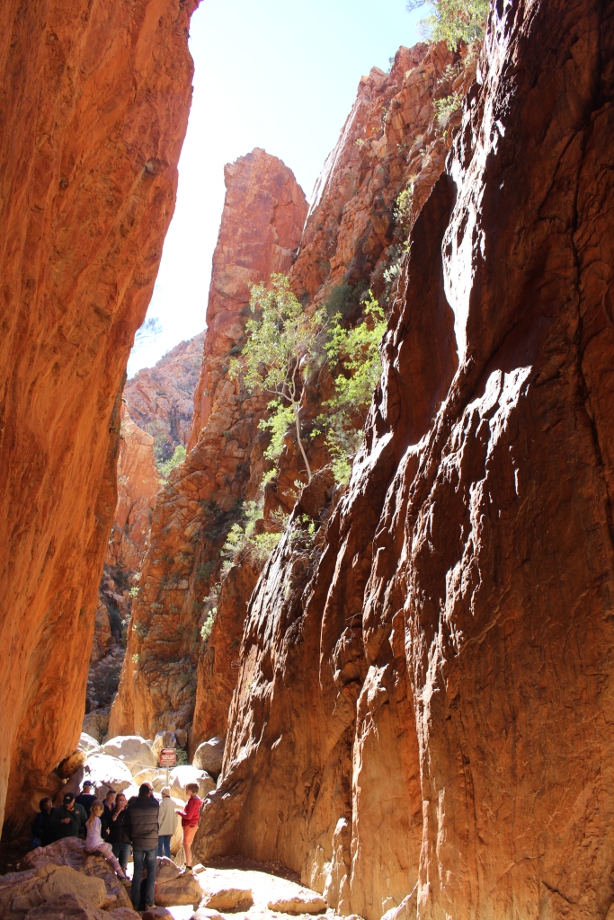
In the afternoon we drove out to the near west McDonnell Ranges, pausing at the grave of Rev. John Flynn, and then took another look at Simpsons Gap. There was water in the gap, as usual, and a cool breeze was blowing through.
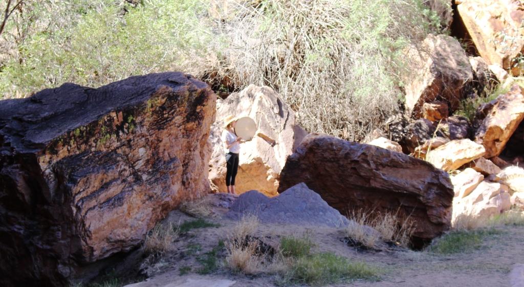
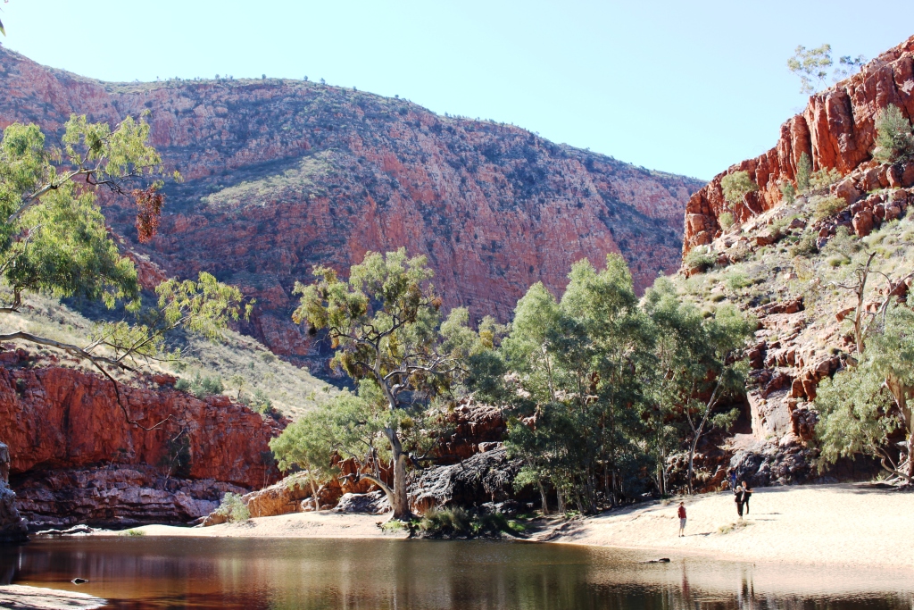
The performer in the Gap
We could hear an pleasant vocal sound, not words but a musical tone, from a pure clear female voice, accompanied by a slow drum beat, coming from the gap. As we walked in we could see a young woman, positioned to gain the advantage of the acoustics of the gap. It was a pleasant accompaniment to viewing such spectacular scenery
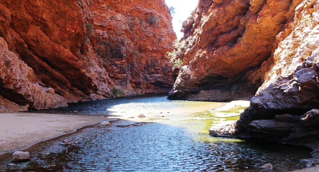
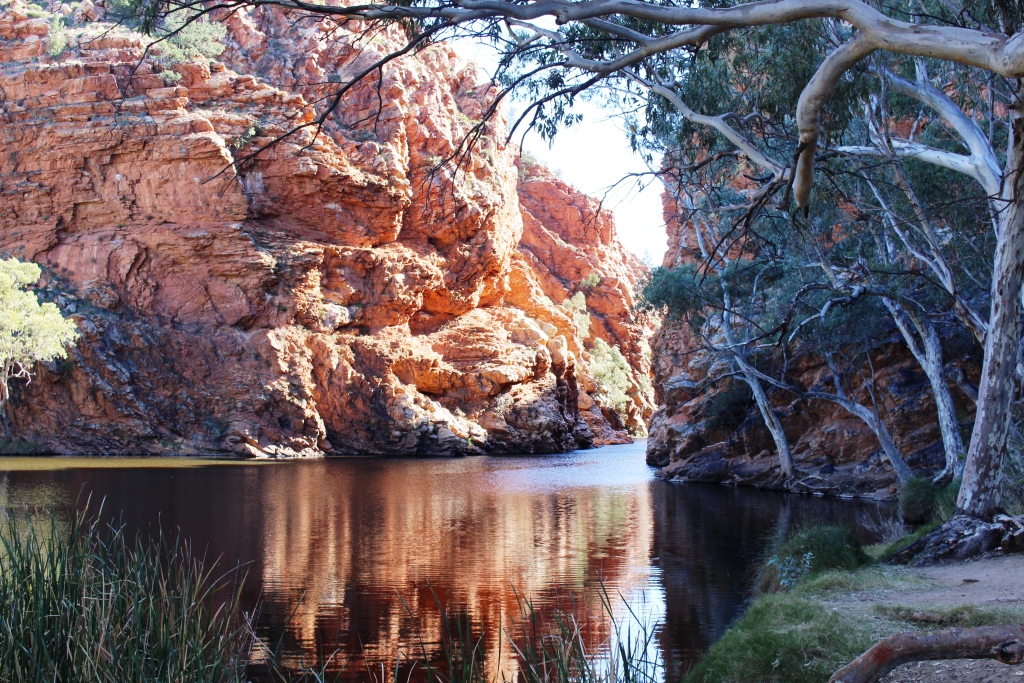
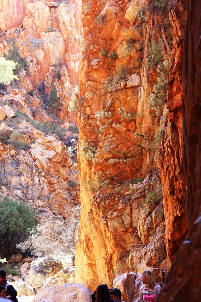
Simpsons Gap
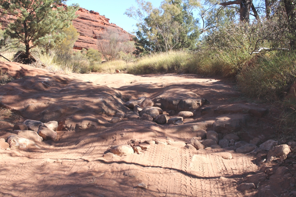
We then headed further out Larapinta Drive and drove the northern section of the Owen Springs Track that leads through historical relics and geographical features to the Stuart Highway. The first cattle station in the Northern Territory was established at Owen Springs. Ruins of station buildings remain. It was getting late in the day so we turned back sooner that we had hoped, so didn’t get to see them. The consolation was that we drove back beside the long stone capped mountain ranges, displayed to advantage in the light of the afternoon sun.
The Bluff at the foot of Trephina Gorge
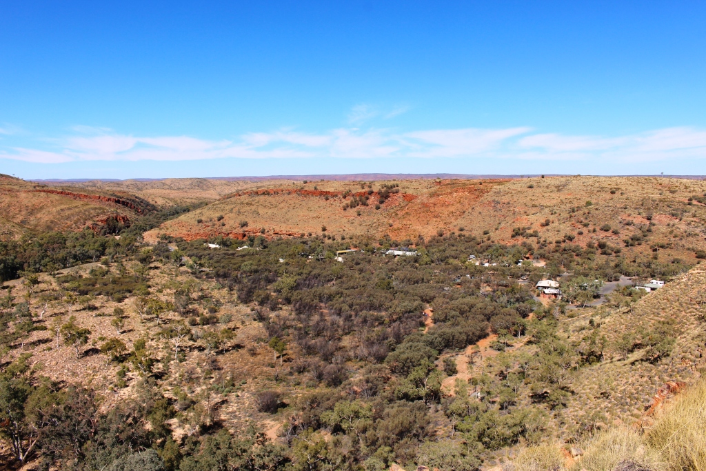
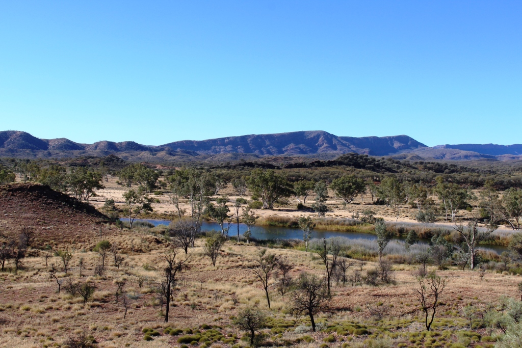
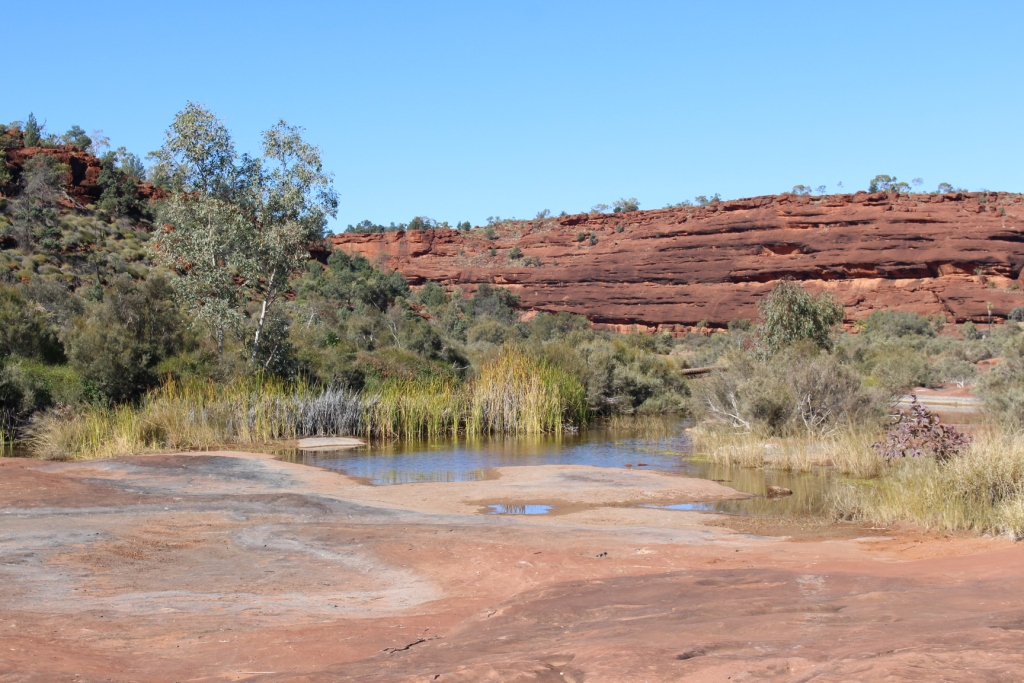
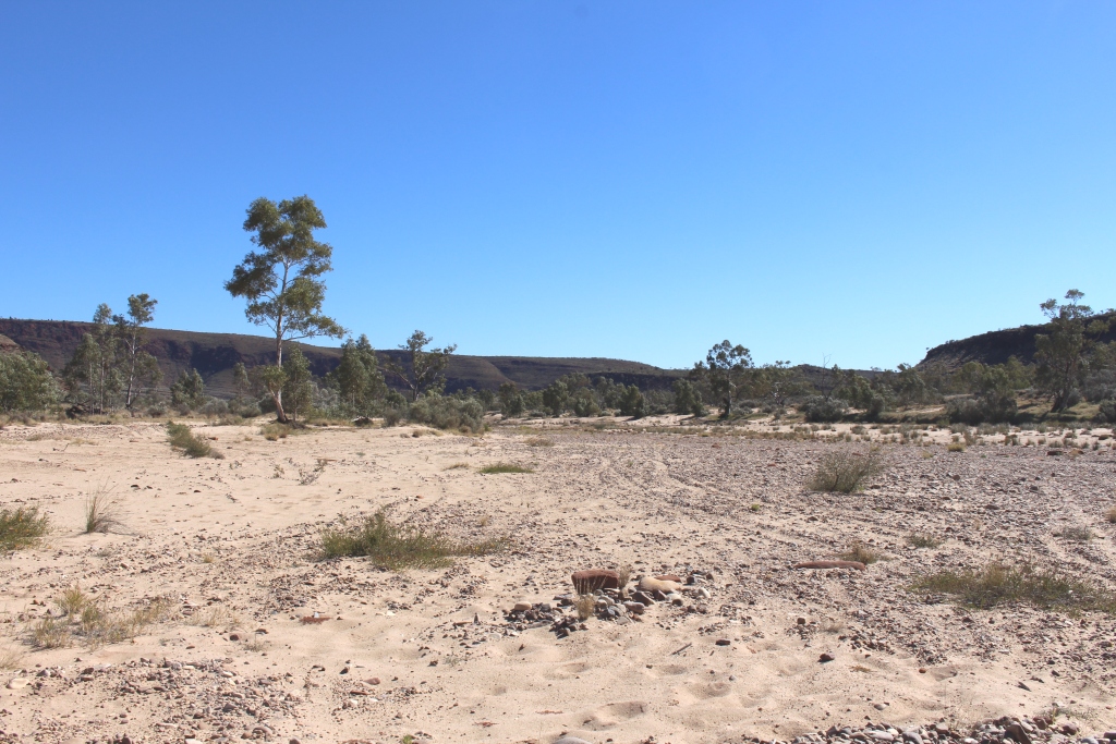
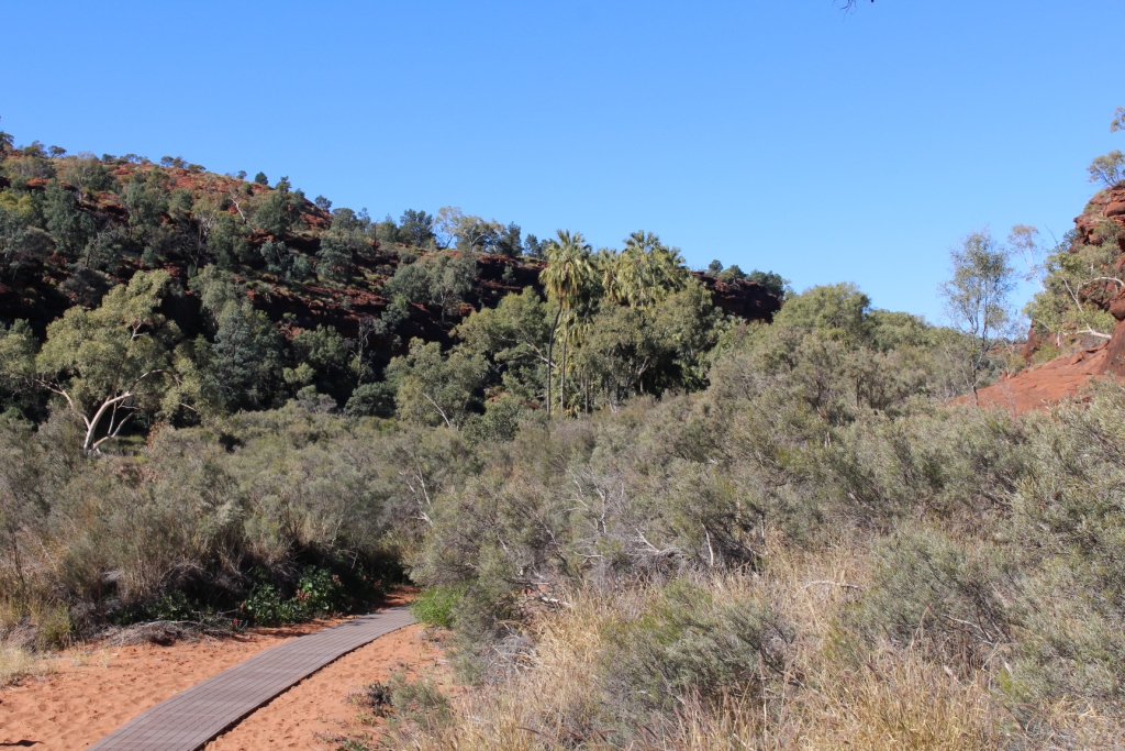
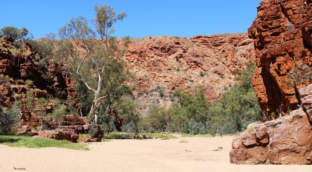
We returned, yesterday, to one of our favourite places on the East MacDonnell ranges. Trephina Gorge is yet another gap in the range through which a stream passes, on its way to the desert. The Ross Highway runs between red stone capped mountains and passes at least three other gaps through which streams flow when there is rain. The best known of the gaps are Emily and Jessie Gaps. The other main feature of interest is Corroboree Rock, a striking rock formation where, you guessed it, corroborees were held.
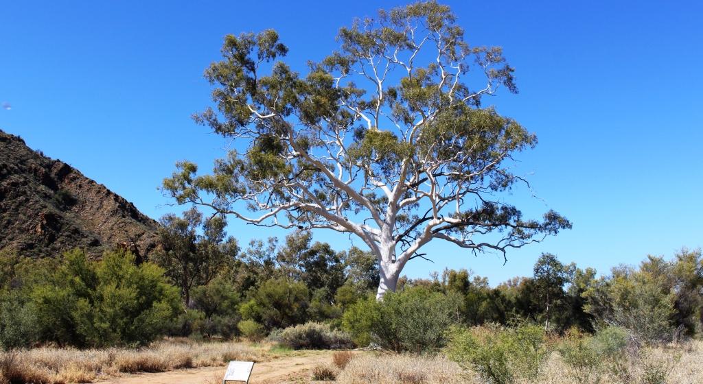
The tallest Ghost gum
Trephina Gorge has been cut by the passage of water through red rock that now direct its flow. At least that is the case when it is flowing, which it was not doing yesterday. After exiting the gorge the stream passes at the foot of a huge mound of red stone named The Bluff. From there it makes its way out of the mountains to join those other streams that dissipate into the desert. The gorge also contains the largest Ghost gum in Australia.
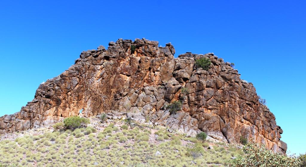
Corroboree Rock
There was a final touch of drama as we travelled home. While driving on the gravel road out of the gorge we noticed a continuous trail of fluid. So we were not surprised, just after rejoining the Ross Highway, to see a vehicle stopped part way off the road, with a couple of other vehicles nearby. The fluid trail on the road was transmission fluid. They had damaged something important.
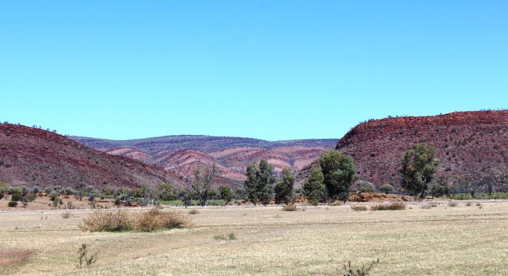
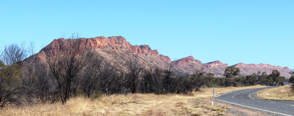
The beauty of the East McDonnell Ranges
The vehicle was an aged Ford Maverick and its occupants were a couple of French back packers whose English was inadequate, to say the least. Neither we nor the other vehicles that stopped were able to agree any assistance with them as they preferred to wait for some folk who they had met in the Gorge who were travelling a distance behind them. We can only hope that it worked out for them.
We have been into town on two or three occasions. It is unchanged from last time. Out of town locals wander the streets and seem to be the taxi companies best customers. Security is everywhere, particularly where there are liquor stores. But the commercial centre seems busy and a parking space can be hard to find.
At the caravan park there is an endless procession of arrivals and departures. One night stopovers are common, as visitors restock and head for the scenic areas to the east and west. Much as we had intended. It is hard to detect the colour of some vehicles through the coating of mud that they carry. I suspect that they have come in off the Tanami Track that has had rain in recent days.
So now we wait on the weather. I will deal with that in the next post.