Far North Queensland 2024 – Days 7 & 8 – Port Douglas & Green Island

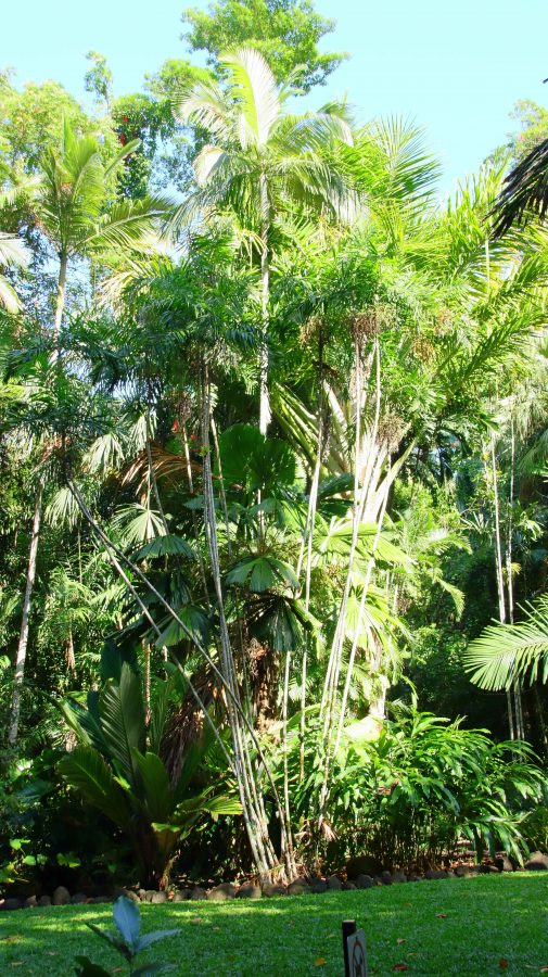
a typical part of Cairns Botanic Gardens

I don’t think that we have ever visited Cairns without also visiting Port Douglas. Oh wait! On our first ever trip to Cairns, a road trip from Melbourne, at Christmas, about 56 years ago, we hadn’t even heard of Port Douglas and neither had most other Melbournians. We hadn’t heard of Christopher Skase, either.

As Thursday was the only day without a fixed starting activity, I took the opportunity to walk to The Esplanade. Reports suggested that the beach and water side parklands was a great bird photography sight. But not that day. I arrived at about 7.30 am but it seemed that half of Cairns had beaten me there. Clearly it is a favourite aera for morning exercises and there were many exercising. But they weren’t doing it quietly. I took some photos, but mostly birds with which I am already familiar.

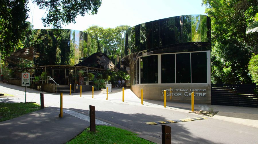
First of all, we visited the Cairns Botanic Gardens. Unsurprisingly, it is a tropical rain forest paradise. A day at least could be spent wandering around the paths and roads. Even longer if you include the visitor centre and its coffee shop. I limited myself to about half an hour, but it was time well spent.

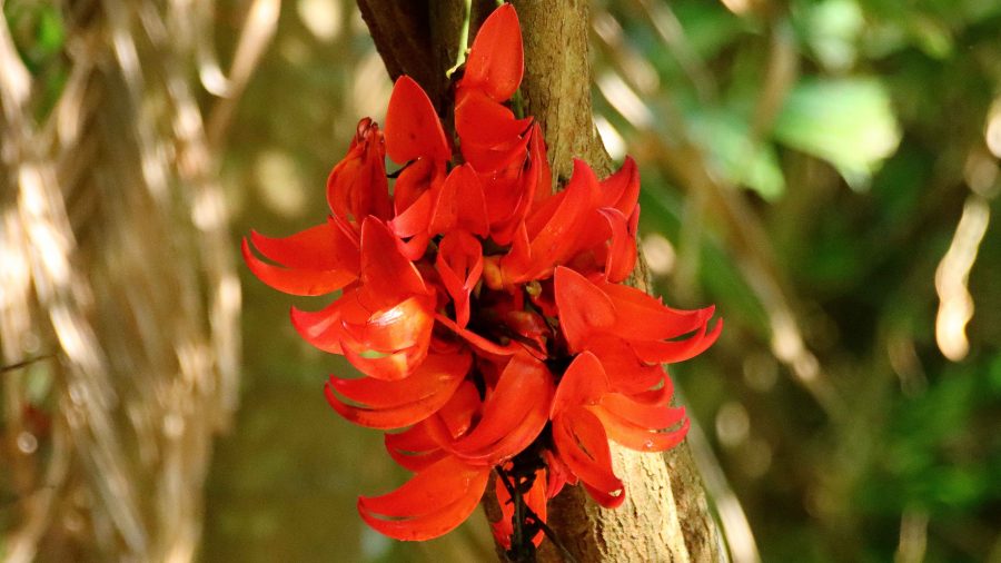
Tropical flower in the Gardens
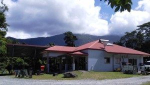
Botanic Gardens Visitor Centre including a cafe.

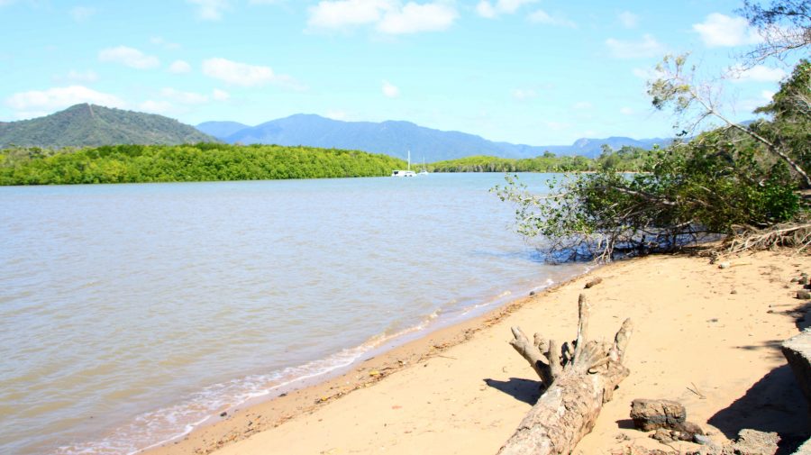
From the gardens we drove to Machins Beach to see the mouth of the Barron River. The banks of the stream and the beach seem to be popular fishing spots and a location for some quiet free camping. But I could sense those Crocodiles lurking just beneath the surface of the water. Much happier in our unit.

Barron River a little upstream from the mouth
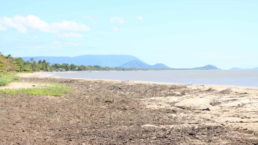
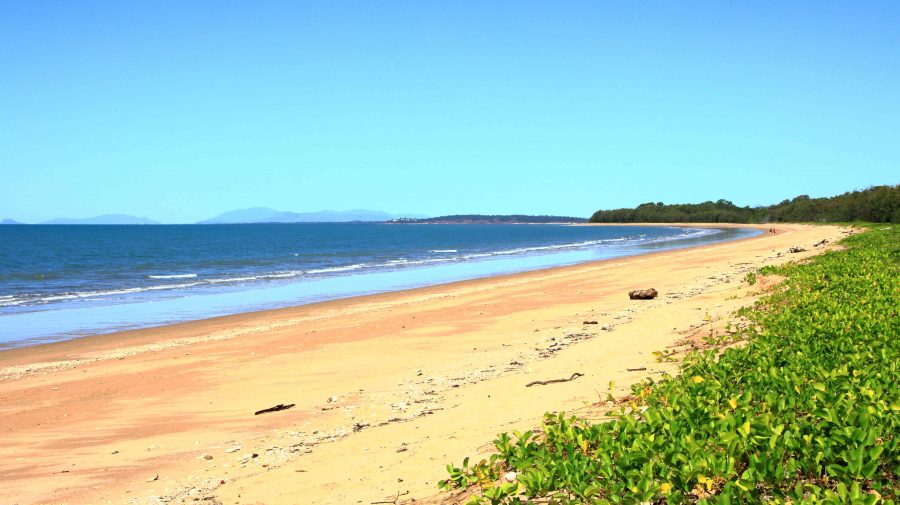
Machins Beach near the Barron River mouth looking north
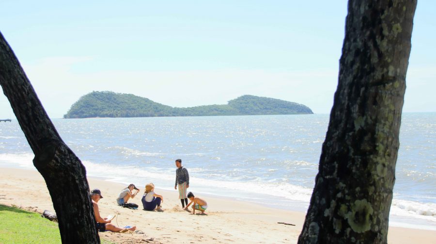
Double Island off Palm Cove Beach.

Palm Cove is one of our favourite places. We have fond memories of our brief stay there a couple of years ago. As we were passing, we called in for coffee and the views of the Coral Sea and Double Island. Double Island used to be home to a luxury resort. Cairns council is conducting a public conversation in an attempt to decide its future tourist use. A decision in principle seems to have been reached to redevelop it.

We drove on along that magic stretch of coast. Work is still in progress to fully restore the parts of the Cook Highway damaged in the deluges that followed Cyclone Jasper in December last year. Just a couple of delays were involved.

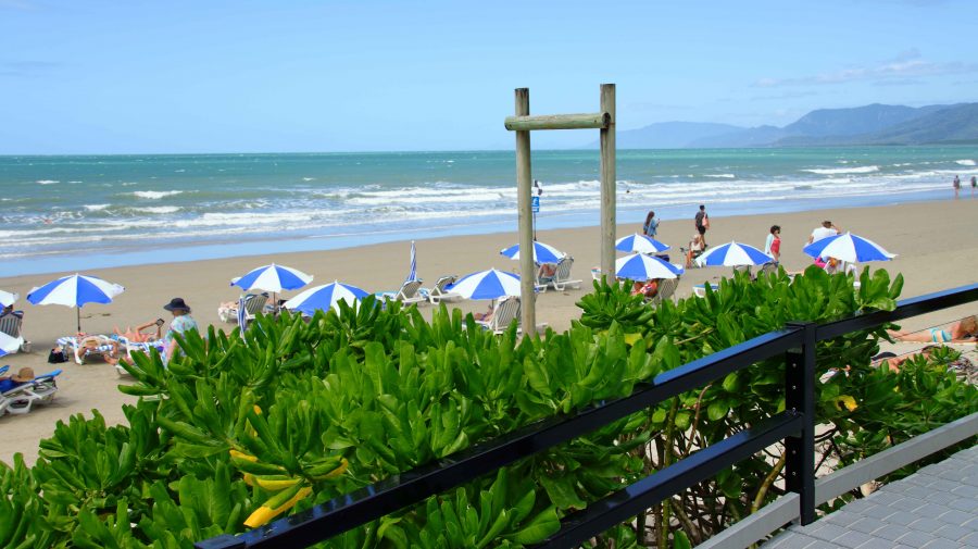
Shading umbrellas at Four Mile Beach

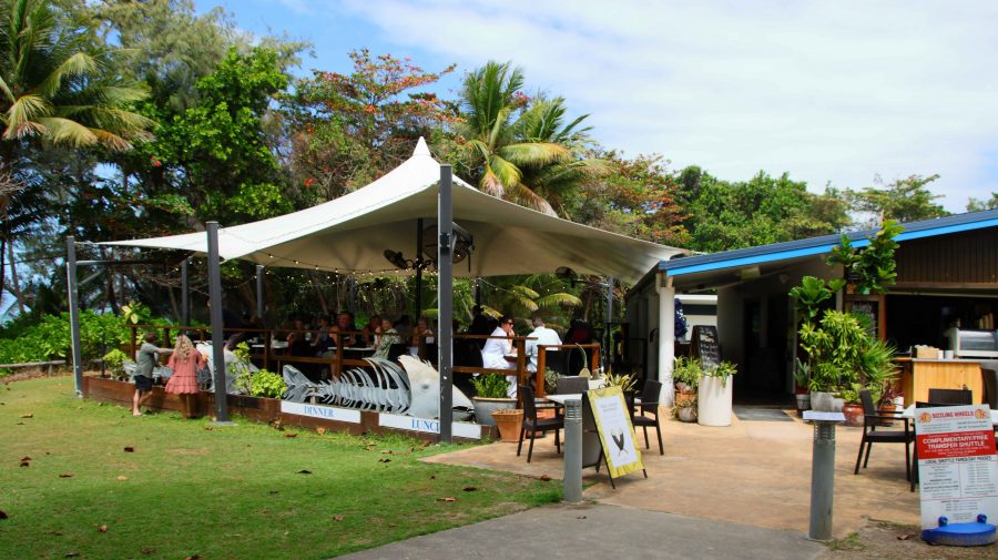
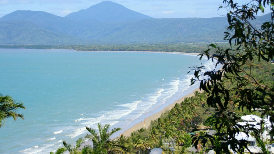
Four Mile Beach has seen some improvements at its northern end since we were last in Port Douglas. A new amenities block with changing facilities has been completed. Two new casual dining establishments now offer food and drink. New ramps and stairs provide improved access to the beach. In addition, there is now an area of striped umbrellas providing shade from the sun over sun lounges. The beach is rather a windy spot so I am not sure how they get the umbrellas to stay in place.

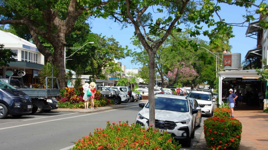
We made our normal visit to Flagstaff Hill to view, and photograph, the town and beach. Then off in search of a parking spot near Macrossan Street so that we could find a place for lunch. We chose a street side eatery called the Iron Bar. It was a bar, substantially constructed of corrugated iron. We dined from large share taste seafood platter.

A new eating location at Four Mile Beach. The new bathing facilities are right next door.
Four Mile Beach from Flagstaff Hill Lookout
Macrossan Street near where we lunched

The drive back to Cairns was incident free, with a repeat of the road works stops on the way up, but with us facing the opposite direction.

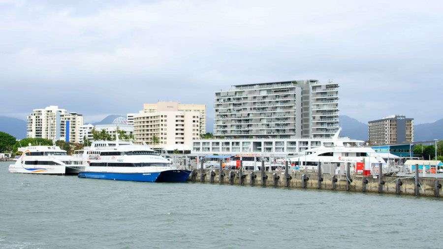
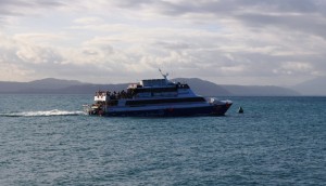
Cairns Harbourside from Green Island Ferry

Friday was our last day in Cairns. We had booked a ferry trip to Green Island. It was over fifty years since we had last visited. Since then the Jetty has been extended, the underwater observatory had gone and a resort has been built.

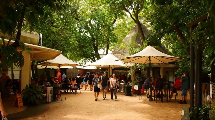
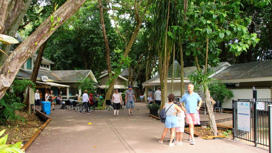
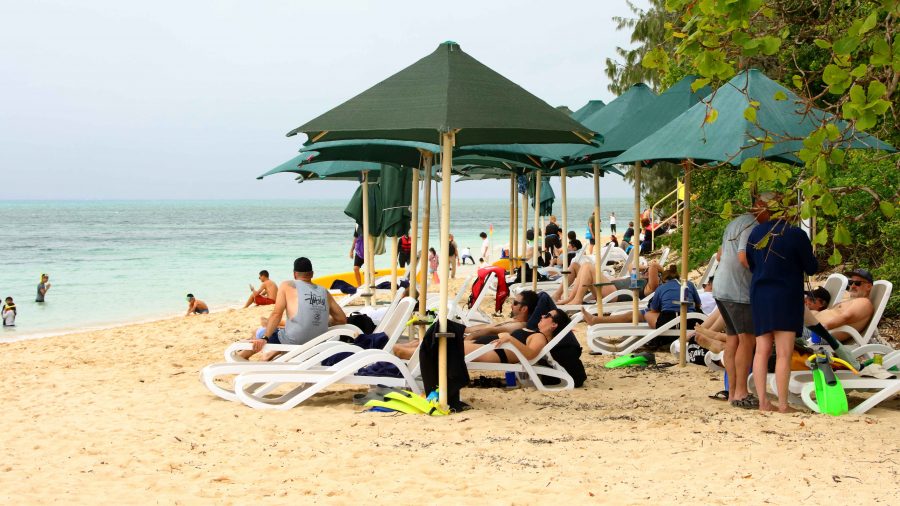
Part of the public area at Green Island

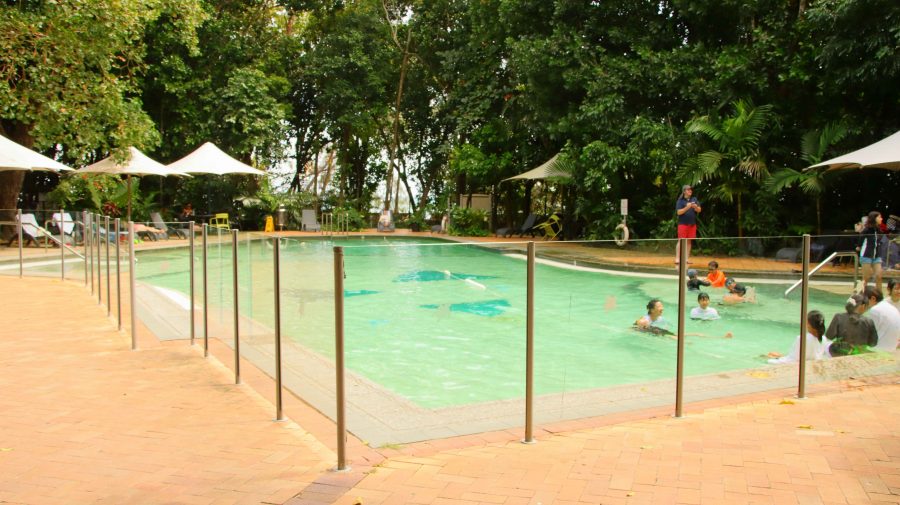
It was not a brilliant day, with strong winds and drizzle periods. The sun was in hiding for most of the day, but it was still about 25C, and comfortable if you were sheltered from the direct wind. We established ourselves in the public area near to the resort reception. There were lots of youngsters about. The pool generated a continual cacophony of sound.

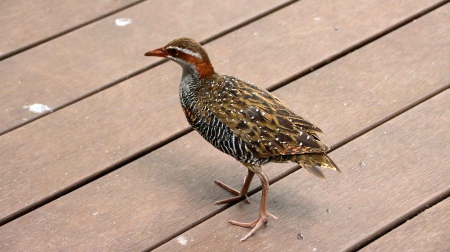
Buff-banded Rail. Green Island pigeons

The first time that I photographed a Buff-banded Rail, I thought that I had found something special. But at Green Island they are as common as Pigeons in a city park. They feed off tourist food scraps and are deliberately fed by some tourists, including us.

Green Island is a true coral cay. To make walking easier than ploughing through soft sand, extensive boardwalks have been built, including one that leads to the far south-east corner. Visitors go there to swim on calmer days or to kitesurf on days like we were experiencing. I walked there looking for birds that some claim to be quite profuse. But that must be on days with less wind. I found a few, but they were all in hiding from the wind. They included two Eastern Osprey hiding behind a chain-wire fence. They must be regularly fed, so don’t need to go fishing. Or perhaps it was too windy for them too.

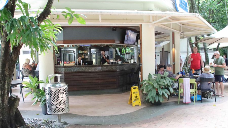
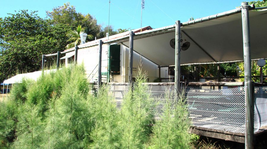
This is where you get coffee at Green Island
Green Island Public Pool later in the day with only a few children
Another view of Green Island public area

With departure time near and rain squalls about, we made for the ferry. On the last unprotected stretch a gust of wind took my prised Tilley hat, which will now be on the floor of Davy Jones Locker. Pity! I will need to replace it as I had become quite attached to it. But obviously it was not attached to me quite well enough.

The swimming beach faces North, away from the prevailing south-easterlies
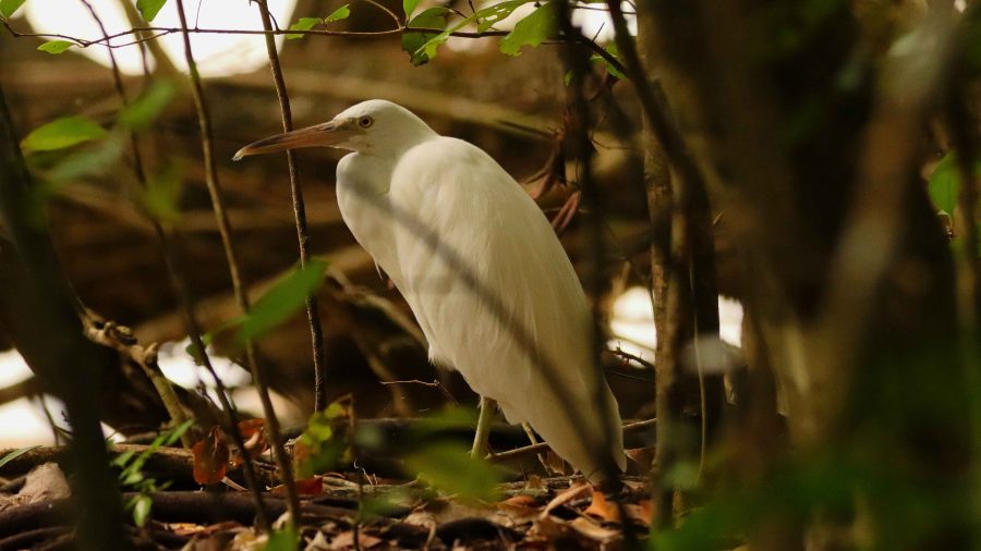
An Intermediate Egret sheltering from the wind
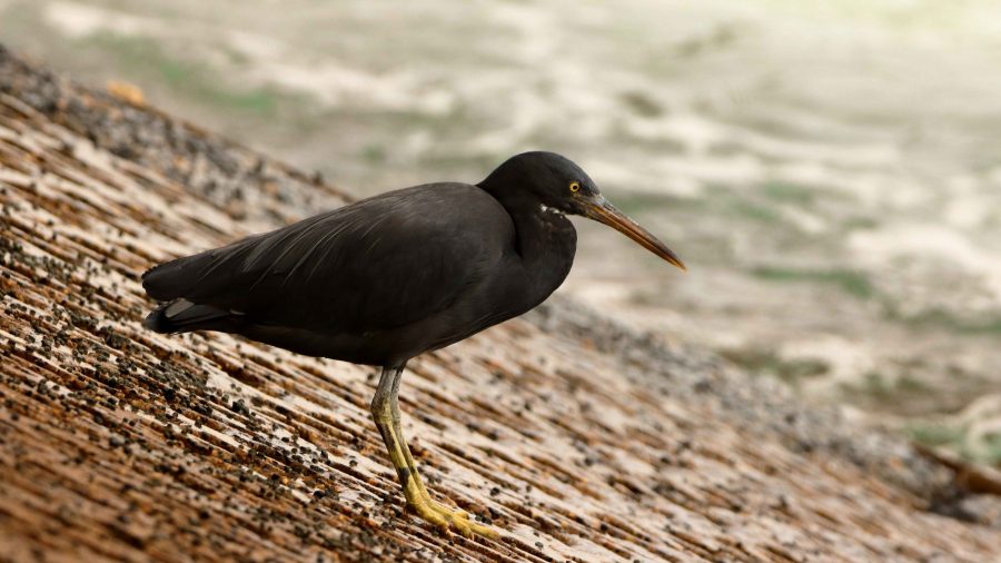
This Eastern Reef Egret looks like it is a bit cold

Back in Cairns the weather was fine. We were welcomed back to our parked car by the largest group of Bush-stone Curlews that I had ever seen. But my hands were too full of bits and pieces from the day out for me to take a photo.
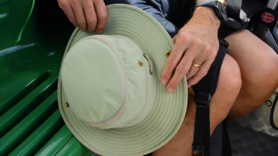
My lost and lementad hat
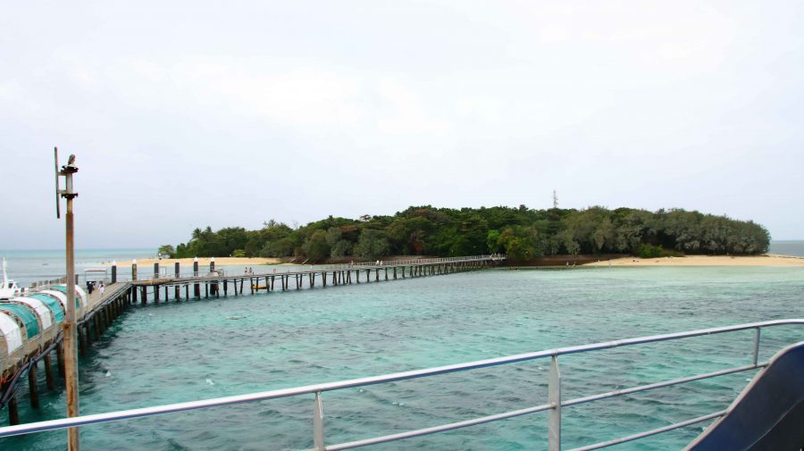
Green Island and ferry jetty, from the ferry
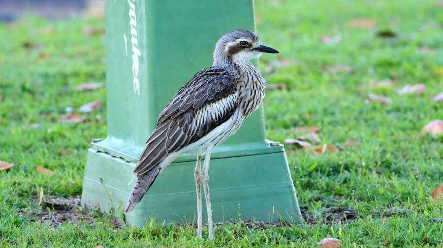
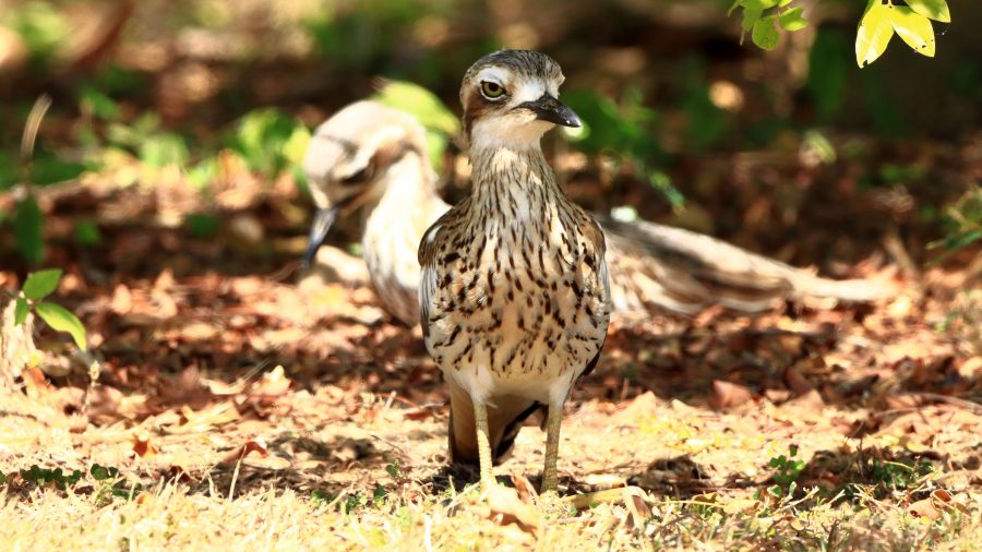
A photo from the previous day of a Bush-stone Curlew

We returned to our unit via a laundromat. The washing had been accumulating.

Interrupted Journey – North Queensland 2022 – Part 2

Part 2 – North to Port Douglas via The Atherton Tablelands

Note: A video link appears at the bottom of this blog post.

Coral Princess lying off Airlie Beach.

When you have a view like we did at Airlie Beach, the first thing that you do when you get up of a morning is open the blinds. We opened our blinds on Sunday morning and there in the middle of our view was the Coral Princes, in port for a visit. Our friends Jim and Frances Weir were on board, but we were gone by the time that they come ashore.

Sunday was one of making distance up the coast. Our Sunday night overnight stop was at Innisfail.   The sun shone on us all day. We struck some low-lying fog both on land and over the bay as we approached Bowen, making slower progress than we had hoped as we coped with the long slow kilometres of roadworks. Almost the entire length of road from where we entered the highway just north of Proserpine to Bowen, was limited to 60 and 40 kph with a few areas of 80 kph.

Balgal Beach. The view goes all the way to Magnetic Island and Townsville.

The run for the rest of the distance to Innisfail was much better, but still with a lot of areas of road works. We bypassed Townsville on the convenient ring road, as you do now, but called in a Balgal Beach. near Rollingstone. We knew where we could get near the beach for lunch, from previous visits.

Fisherman’s Landing at Balgal Beach. The restaurant overlooks the jetty where fishing boats dock.
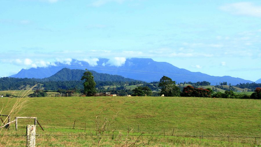
The mountains northwest of Innisfail

We had a quiet night in Innisfail. The motel was right in town but quiet. All we wanted was somewhere to eat and sleep.

A cap of cloud was sitting on the top of that mass of mountains to our north as we left Innisfail. The mountain ranges inland from the coast are home to Queensland’s two highest mountains, Bartle Frere at 1,611 metres and Bellenden Ker which reaches a height of 1,593. At those heights they and the surrounding ranges rise well above the Atherton Tablelands, to which they provide a backdrop to the east.

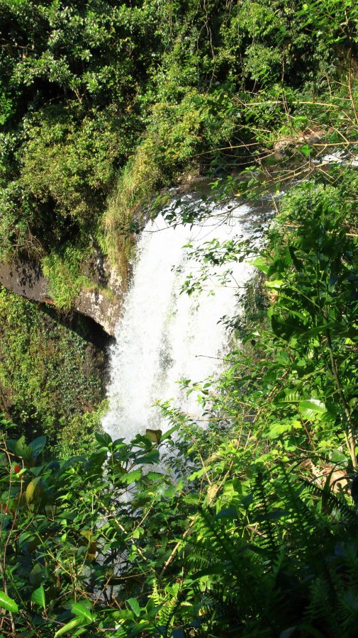
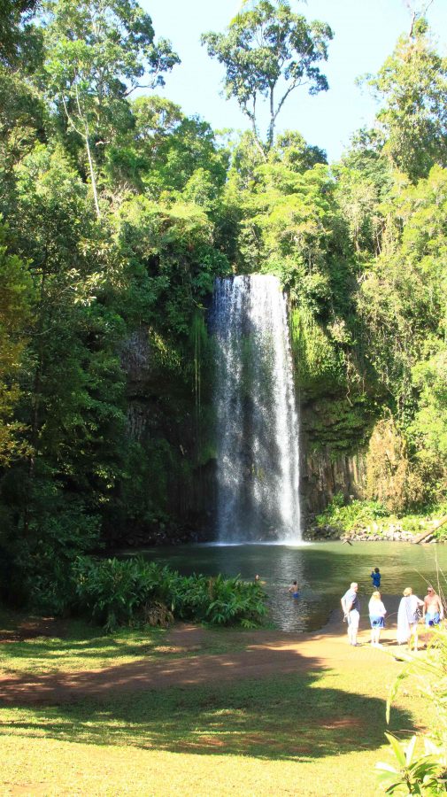
The drive from Innisfail ascends some steep grades but on a good road. When you reach the edge of the Tableland the height gain from the coast is obvious. The first town is Millaa Millaa, but first you will see signs that point to a drive that leads you past four waterfalls, before returning you to the main road. We have done this drive before but did it again before stopping for coffee at the park in the main street. The town has a couple of good café/coffee shops as well.

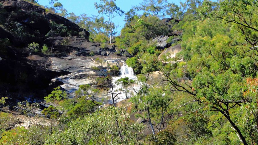
Zillie Falls on the Falls Circuit near Millaa Millaa.
Millaa Millaa Falls also in the Falls Circuit.
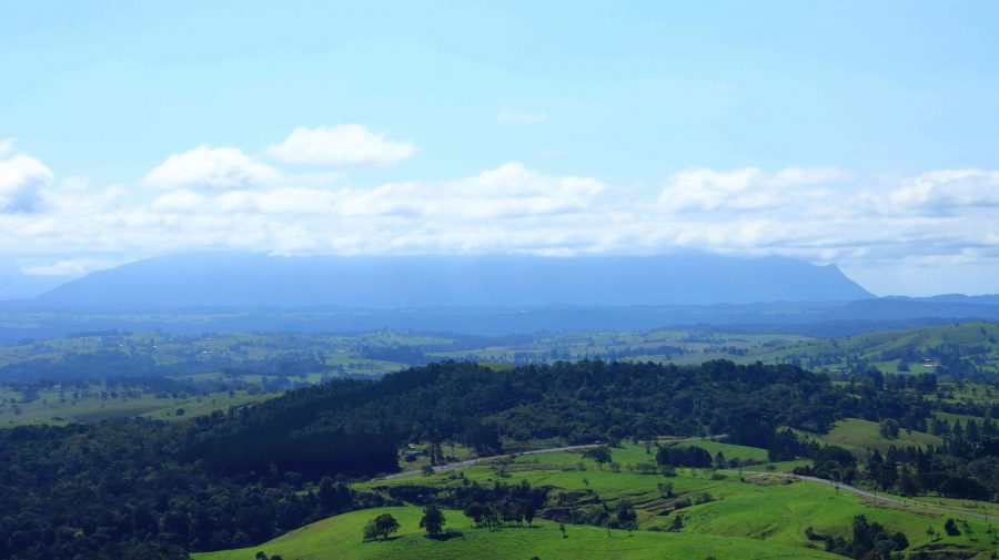
The mountain ranges viewed from Millaa Millaa Lookout.

 We then crossed to Herberton to look at the tin mining museum. Soon after you leave the town of Millaa Millaa, you reach a steep ascent. Just before the summit, a left-hand turn takes you to a lookout which, unsurprisingly is named Millaa Millaa Lookout. Equally predictably the lookout provides fine views back over Millaa Millaa and the ranges nearer to the coast. We were greeted on our arrival by some domestic hens.

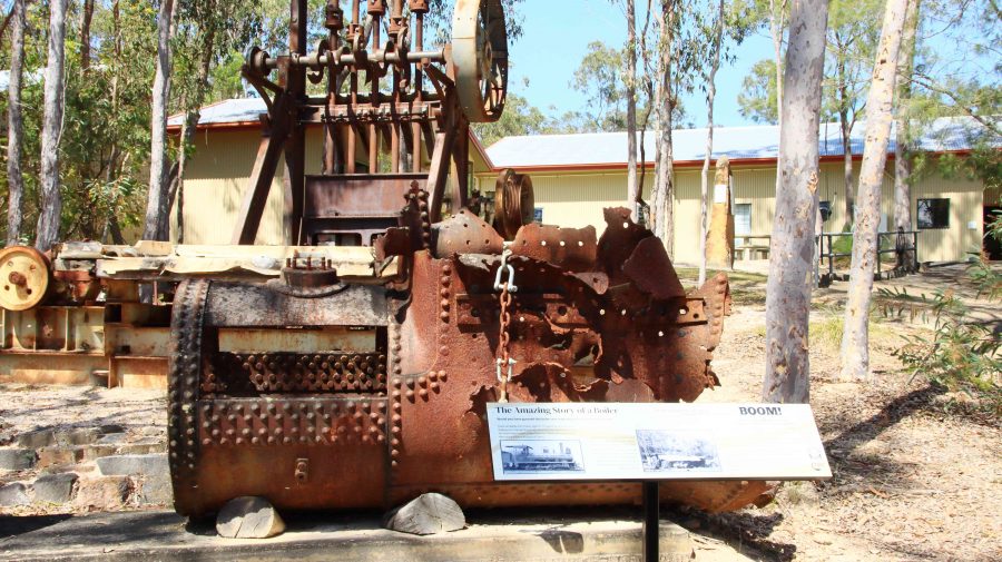
Mining machinery and buildings at Herberton Mining Museum.

There is much to see at the Herberton Museum, particularly for those with an interest in old machinery and historic mines. You could spend quite some time there if that were the direction in which your interests lay.

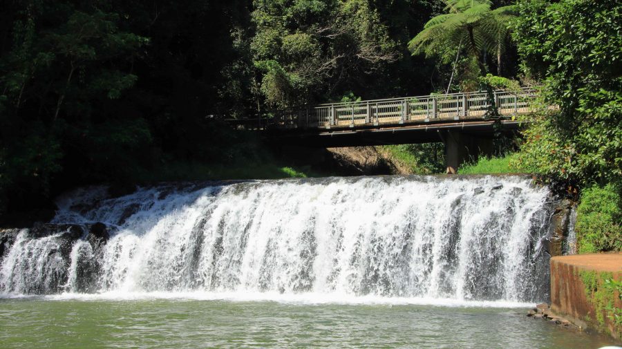
Malanda Falls is located in parkland near the town.

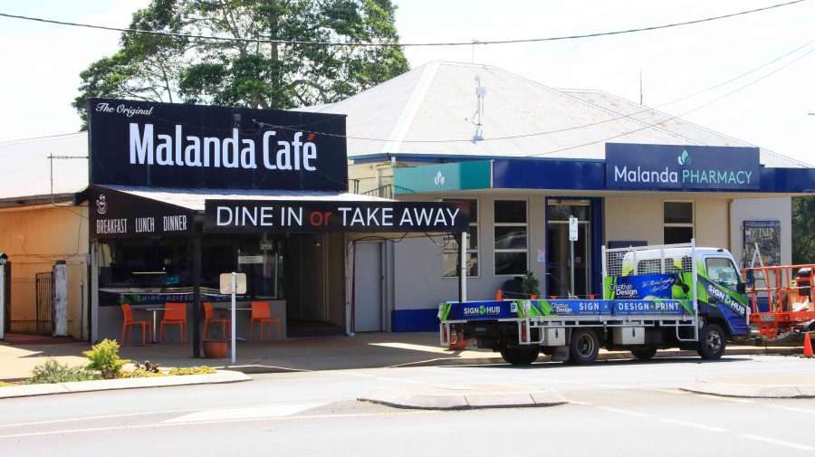
We then turned back to the east to Malanda. We wanted to lunch at Gallo Dairyland but research had shown them to be a Wednesday to Sunday operation, which seems to be quite common in areas that are within an easy weekend drive of major population centres.

Malanda Café, our lunch location.

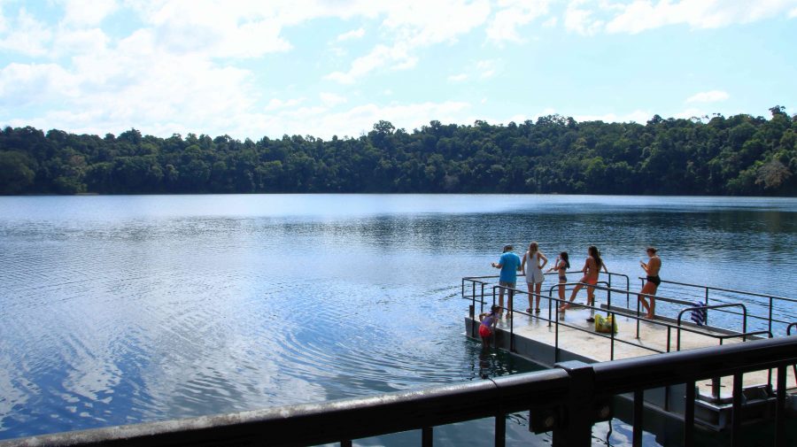
So, after visiting Malanda Falls we lunched at a café in town before making a return visit to Lake Eacham, where some hardy souls were swimming and sun baking. It is a beautiful location and wasn’t all that cold but not my idea of swimming weather.

Lake Eacham with bathers.
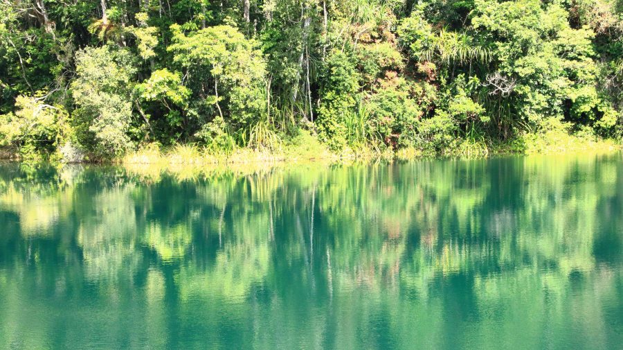
Reflections in Lake Eacham.
We passed through the attractive town of Yungaburra on our way to Tinaroo Dam.
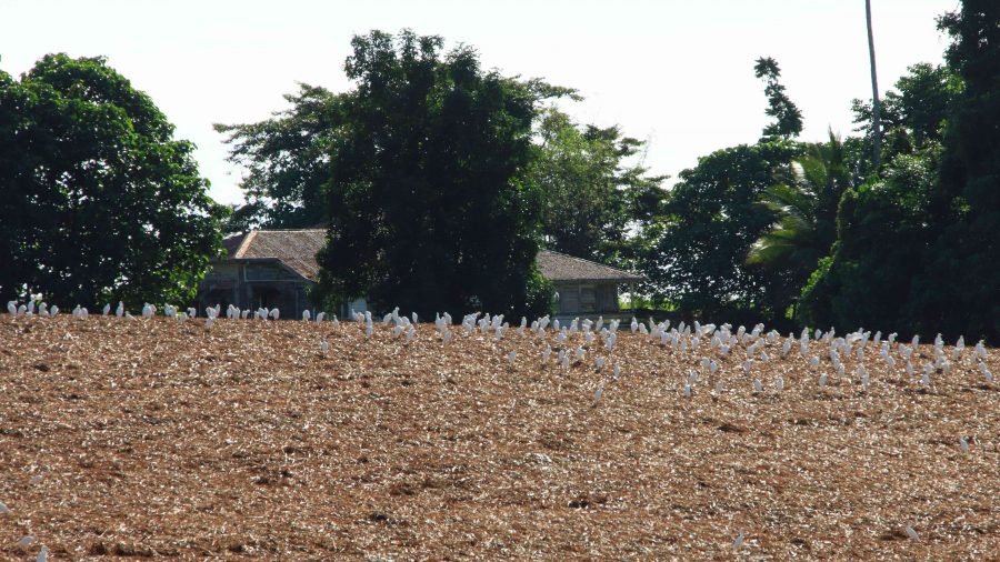
Patient Cattle Egrets waiting for the cane harvest to move on.

We had seen a large flock of Cattle Egrets (the little white Egrets that are often found where cattle are grazing) back nearer to Innisfail. They were waiting for a cane farmer to finish harvesting a field. Some were near to the road, but all took off and flew to the top of a hill overlooking the cane fields when we stopped. Newly cut cane must produce good eating grounds for them. We saw the same phenomenon at a couple more cane harvesting sites the following day, but other harvest sites had no birds at all.

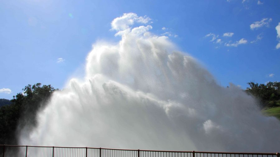
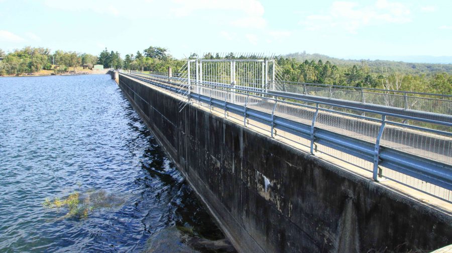
To complete the day, we drove to Tinaroo Dam, where operators were discharging quantities of water, no doubt to the delight of tourists who see it flowing down the Baron Falls as they look down from the Kuranda train or the cable Skyway. There is plenty more where that is coming from. The dam is near to full.

Rather spectacular water discharge from Lake Tinaroo.
Tinaroo Dam
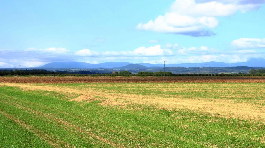
Agricultural land, irrigated by water from Lake Tinaroo.

We then drove on to Atherton and checked into our motel. It was a shorter and easier day. We travelled just over 200 km. Yesterday was a little over 600 km.

We departed Atherton on the morning of Tuesday 16th August, heading for Mareeba initially but with Port Douglas as our end-of-day goal. We turned east at Mareeba to drive to Emerald Falls. The facilities at the car park suggest that it is quite popular with visitors.

The top section of Emerald Falls.
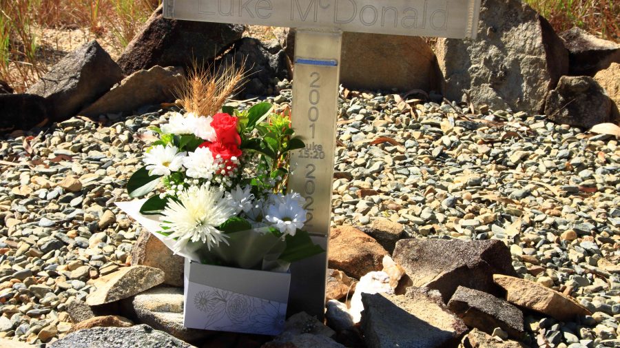
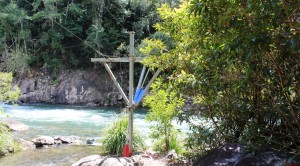
The memorial to Luke McDonald who lost his life in the waters of Emerald Creek
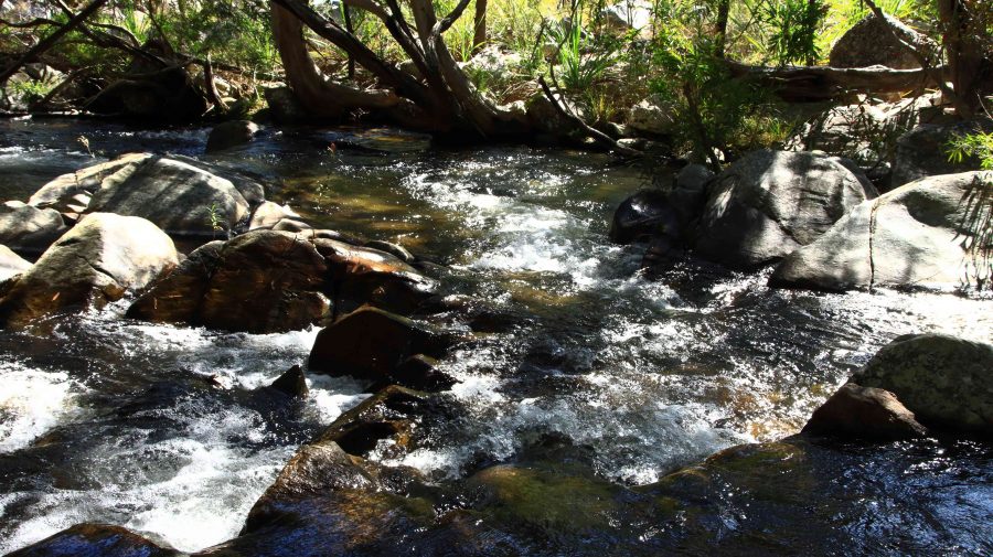
Emerald Creek below the falls and series of rapids.

The walk to the falls is a little under a kilometre one way and quite easy until the last couple of hundred metres, when a series of well-built stone steps lead to the lookout and a rougher path to the foot of the falls. Visitors are reminded of the perils of mountain streams by a memorial, built by the side of the track, to a young man who perished in the stream.  Being conscious that we were there on our own and that I am not as young as I once was, I gave the walk away when the top of the falls were in sight. Thy are partly obscured by vegetation. But a great spot for a picnic and walk.

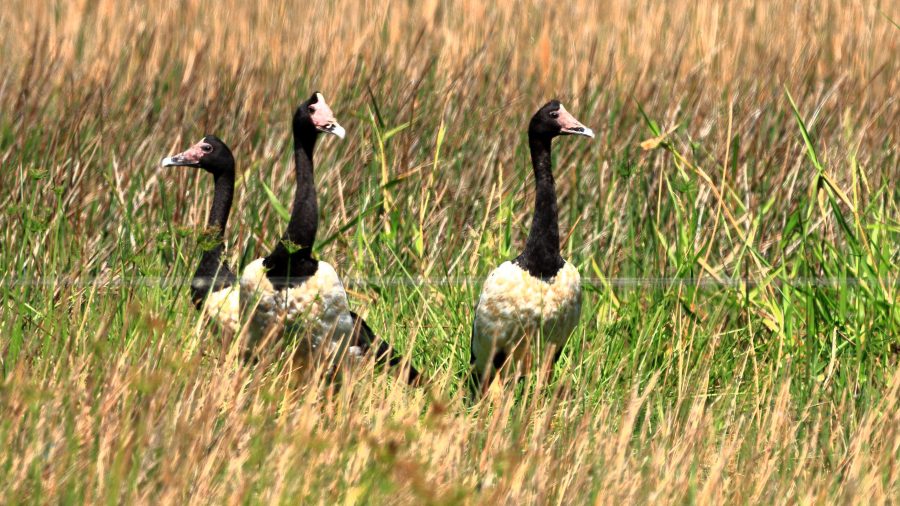
Magpie Geese near Mount Molloy on the Mulligan Highway.

We returned to Mareeba to revisit Coffee Works, a local success story, for morning coffee, before continuing north on the Mulligan Highway. We had intended to call into the nature reserve at Lake Mitchell, but the gate was closed, and the track did not look very inviting. We drove on. The highway runs beside a wetlands area that is part of the dam. There we found a Great Eastern Egret and a flock of Magpie Geese, both feeding in the pools. There was also a Pelican, but out of camera range.
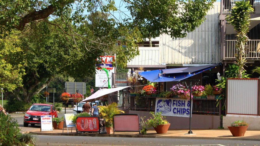
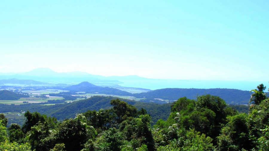
View north east from the highway above Mosman.
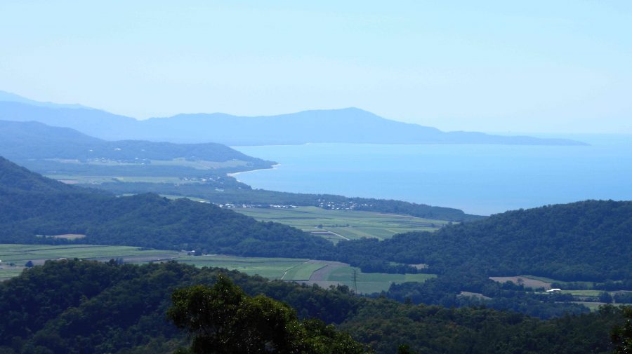
The coast towards Daintree National Park
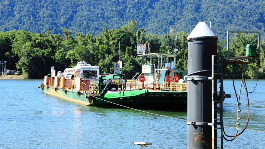
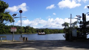
Daintree River ferry that provides the road link to Cape Tribulation.

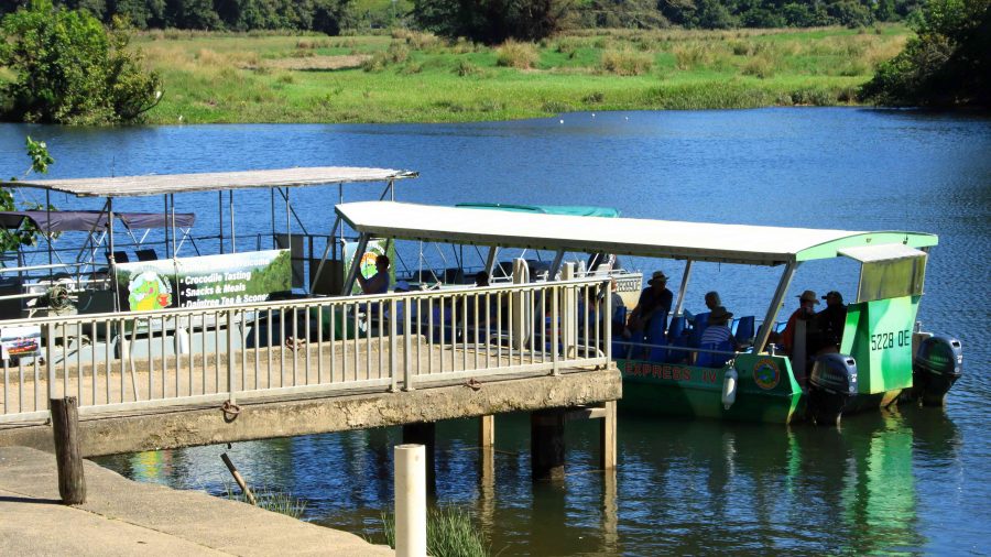
We passed through Mount Molloy and took the right hand turn towards the coast and Mossman. There are two lookouts as the road begins its decline to the coast. Both give excellent views of Mossman and the coast to the Daintree River and to the ranges of the national park. We lunched at Daintree Village and photographed some Straw-necked Ibis in the park, before driving down to the Daintree River ferry. The crocodile tours along the Daintree River were doing a great trade, boosted by visitors from Coral Princess.

Crocodile viewing cruises on the Daintree River.
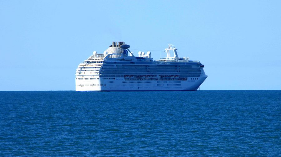
Coral Princess awaiting its passengers.

As we approached Port Douglas, we could see the Coral Princess anchored off the port. We called our passenger friends, but they were still on a day tour near Daintree. They are probably thankful that they missed us as I, at least, was incubating Covid at the time.

A view south from Flagstaff Hill at Port Douglas.

We had two nights at the Ramada Resort at Port Douglas. Since we had been through the area a number of times on previous trips we had decided on a quiet day. We checked out Four Mile Beach and spent time in the town area, We had visited the famous Flagstaff Hill Lookout, with its views along the beach to Cairns, the previous afternoon. We finished the day with room service dinner, a bit later than planned because the hotel lost our order.

We made a pre-breakfast start from Port Douglas next morning, as we had a 400+ km drive to catch the ferry at Townsville, to cross to Magnetic Island. We breakfasted at North Cairns and continued south. We diverted at Cardwell into the cyclone damaged Hinchinbrook Resort. There we found that most houses seem to have been repaired and reoccupied, but the marina, which was the centrepiece of the resort, remains in ruins, so there is no real resort anymore. But I did spy a pair of Bush Stone-curlews in the shade of a shrub on the rather broad media strip and got some photos. I had not previously photographed this bird. So, another “lifer” on my list.

Bush Stone-curlews at Hinchinbrook Resort at Cardwell.

I wasn’t feeling particularly well from the start of the day, so before we joined the queue for the Magnetic Island vehicle ferry, I decided to do a test for Covid-19. I returned a positive test so that was effectively the end of this trip.

Getting home was not a great amount of fun but with a highlight. We reached Proserpine at dusk and as the sun set, we were enveloped in a radiance of colour that reached across the sky from East to West and in front of us to behind us as well. The colour was a golden purple that faded as night fell. I was too intent on getting home to stop for a photo, but I now regret not doing so. But I do wonder if the camera would have done the colours justice.

The rest of the trip was to have taken us not only to Magnetic Island but then to Mackay and through the coal fields of the Bowen Basin to Emerald, Longreach and Winton. We are hopeful of completing the trip around the end of September.

Days 29 to 33 – Cape York Adventure – Daintree & Tully Gorge

We had originally intended to spend a couple of days at Cape Tribulation on our return from Cape York, but returning south on MV Trinity Bay meant that we had landed further south so had to decide whether or not to take the van back north. We finally decided to reduce that part of the plan to a day trip, even though to do so meant that we would not have time to drive the Bloomfield Track as we had planned. When we visited Cooktown in 2010 we had driven the northern end of the track, south to the Bloomfield River. During the planned stay at Cape Tribulation we had intended to fill the gap on our “where we have been” map, between Cape Tribulation and the Bloomfield River. But you can’t do everything.
In the park by the waterfront

In the park by the waterfront

IMG_3796

Water front high rise at Cairns

We had based ourselves at Lake Placid Tourist Park, which is the northern most caravan park in suburban Cairns. But to visit the Cairns area without paying a visit to the city itself was unthinkable, so we spent our second morning pounding the pavement and wandering the waterfront. There is always something going on in this ever expanding tourist Mecca. Tourist boats were coming and going, helicopters were fetching and taking passengers and people were moving around as they went about their business or leisure. There was a set for some kind of circus under construction on the grass near the large swimming pool.
Of course, most tourists were out doing tourist things. Cairns central would come alive at night as the restaurants and bars began to fill. The street that runs adjacent to the waterfront seems to be an endless succession of such establishments, punctuated by tour booking offices.

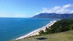
The coast south of Port Douglas

The coast south of Port Douglas

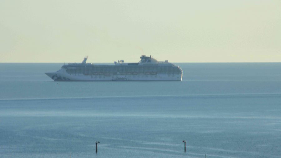
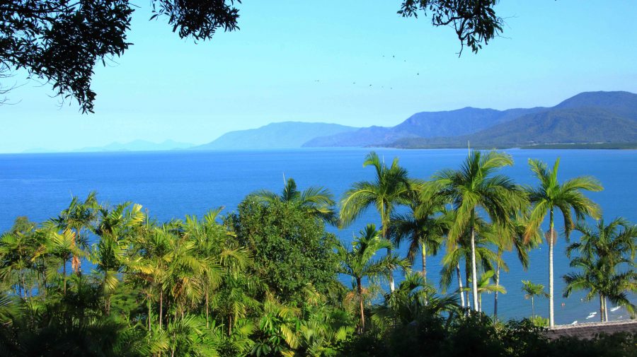
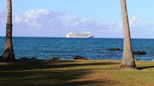
I have probably said in previous blog posts that the coast between Cairns and Port Douglas is one of the most attractive drives in Australia, particularly the section where the road hugs the coast. We had struck a fine sunny day, so the sea and most of the sky was blue and the traffic was not too heavy. A cruise liner was off the coast as we approached Port Douglas, but we drove on, with still some distance to go to reach our destination.

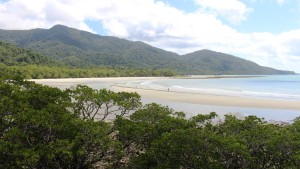
Cape Tribulation Beach

Cape Tribulation Beach

The picnic shelter where we had morning coffee at Mossman was shared with another couple just returned from Cape York. Returning Cape travelers are rather thick on the ground at this time of the year around Cairns.

We reached Cape Tribulation in good time and spent the remainder of the morning looking around. This included a walk to the beach, which

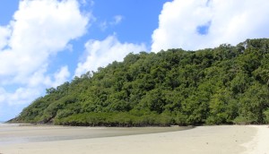
Rain forest on Cape Tribulation

Rain forest on Cape Tribulation

can now be viewed from a vantage point accessible by a wheel chair friendly concrete path. As usual, the sand on the beach was firm, almost wheel chair friendly.

Following lunch at Mason’s Café, we headed back south, but as on a previous occasion, stopped in at the place where they make ice-cream from local native and

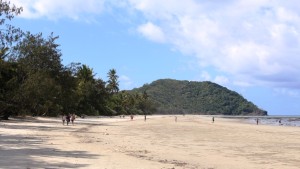
Myall Beach is immediately south of Cape Tribulation

Myall Beach is immediately south of Cape                                         Tribulation

introduced fruit. How fashionable is that? The main luncheon course at one establishment and desert at another?


Mason's Cafe at Cape Tribulation

Mason’s Cafe at Cape Tribulation

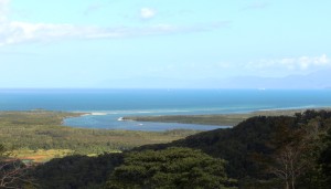
The Daintree Estuary

The Daintree Estuary

Before reaching the Daintree River ferry, we made the mandatory stop at the lookout that provides such superb views of the Daintree estuary and the coast south towards Port Douglas. Last time that we were here the area was enveloped in cloud so low that there was no view at all.


The Daintree Ferry

The Daintree Ferry

The Pacific Dawn at anchor off Port Douglas

The Pacific Dawn at anchor off Port Douglas

As we approached Port Douglas, we noticed that the cruise liner that we had seen in the morning off the coast was actually at anchor. Passengers were obviously having a day ashore. So we drove in to take a look. The town was busy as usual with lots of people still on the beach at 4.00 pm. The harbor was busy too, with boats that normally take people out to the Great Barrier Reef running shuttle services transporting passengers back to

Ferrying passengers back to Pacific Dawn

Ferrying passengers back to Pacific Dawn

the cruise liner from their day ashore. We believe that the cruise liner was the Pacific Dawn.


The following morning we left to spend a couple of nights at Kurrimine Beach. We had selected it as a base to explore the Tully Gorge. Not long after our arrival we received news of the passing of a colleague from transport industry days. Our association was at both a business and family level, so our spirits were rather dampened. We received information about funeral arrangements next morning, so were able to plan to be back in Brisbane for the funeral service.

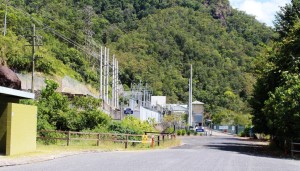
Power substation in Tully Gorge

Power substation in Tully Gorge

Timing still allowed us a day to visit Tully Gorge. This part of our plan was a legacy of our trip to the Atherton Tablelands in 2010. On that occasion we had driven in to the point where the Tully River tumbles over the edge of the Tableland and down a series of waterfalls, to the valley floor below. The initial fall is in a deep gorge and cannot be seen from the lookout, but after heavy rain it can certainly be heard. We decided then that we would like, one day, to see it from the bottom.

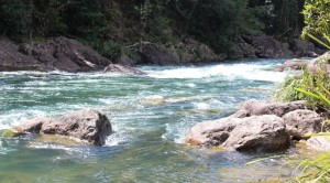
Tully River white water

Tully River white water

Tully Gorge is known throughout the tourist industry as a popular white water rafting location. As we drove in we saw vehicles associated with rafting but did not see any rafting groups. Water levels are low in the river at the moment, making it more suitable for kayaks than for inflatable rafts.

The river end of a raft lalunching system

The river end of a raft lalunching system

The drive in is about 50 km to the point where the road terminates at an electrical substation that we think takes power from a hydro plant at the dam on the river above the falls. This effective barrier prevents you from reaching the falls, but you can see the white water cascading down the side of the gorge further up but too far away for a good photo.

The first part of the drive is through cattle country with abundant grass reaching well up the sides of the grazing animals. Cattle properties are interspersed with the odd sugar plantation. Then comes the banana plantations. Reaching back into the foothills on both sides of the valley, they line about 15 km of roadside. Plantations are enclosed in new barbed wire fencing with locked gates and “Keep Out” signs. Employee vehicles are parked on the roadsides. Owners are serious about keeping the disease that is damaging banana crops in North Queensland, out of their plantations.

Tully Gorge National Park camping area

Tully Gorge National Park camping area

At the mouth of the gorge the road crosses to the south bank of the river and follows the stream quite closely, to the end of the road. Thick roadside vegetation hides the river for much of the drive but there are a number of vantage points and access roads used by the tour operators to reach the river. At a number of locations flying fox type structures make transporting the rafts to the water’s edge easier than it would otherwise be possible.

The retrieval pond at the NP camping area

The retrieval pond at the NP camping area

The Tully Gorge lies within the Tully Gorge National Park. Park authorities have provided an extensive day use and camping area with toilets, showers and change facilities that doubles as a local base for tour operators and provides facilities for overnight or more extended accommodation.

The road is sealed over its entire length. The gorge is deep with towering escarpments, covered by lush rain forest that rises directly from the river banks.

Tully Gorge is a worthwhile drive for anyone wanting a break from the beach and humiditywhile holidaying in the Tully and Mission Beach area.