Ducks around a roadside pond as we left Rockhampton
According to Google Maps, by the time we turn south at Boulia, we will be 1,288 kilometres by road from the coast at Yeppoon. This will have taken about eight days, so you can see that we are not in a hurry. But we will have covered about 200 extra kilometres by turning south at Barcaldine, then travelling west to Isisford and then back to the Capricorn Highway at Ilfracombe, before turning west again to Longreach.
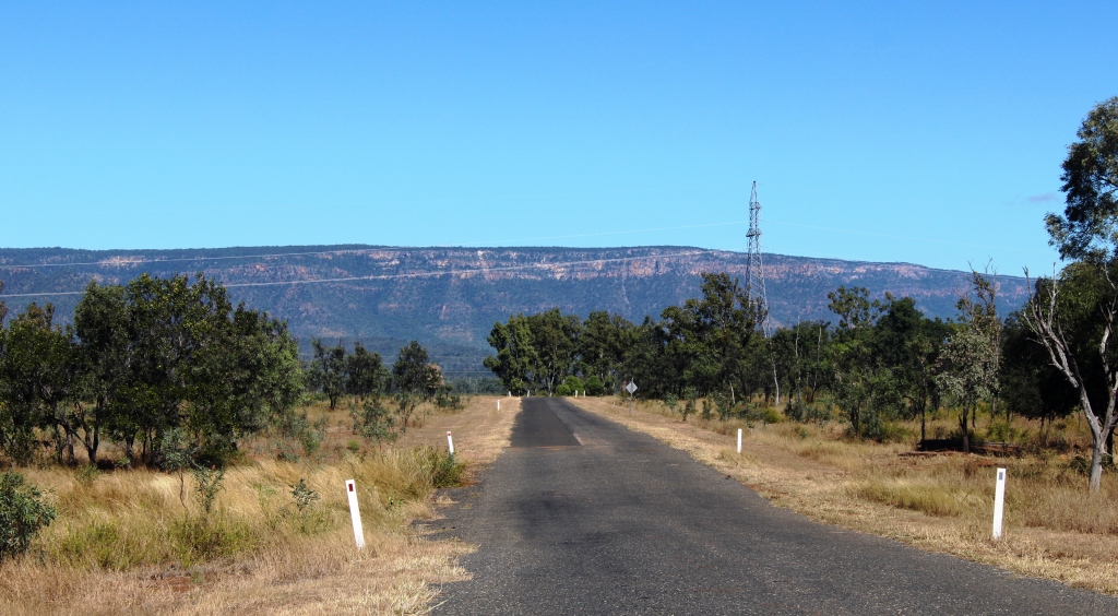
The coastal area is relatively flat and there is no real sensation of gaining elevation as we travel towards the Central Highlands until quite some distance west of Rockhampton. At a couple of places the climb is steep but generally the country undulates with each up grade taking us higher than the last.
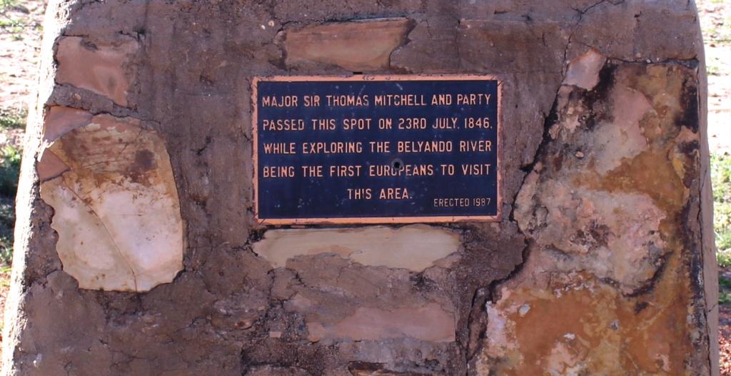
A commemorative plaque to Major Sir Thomas Mitchell who explored this area
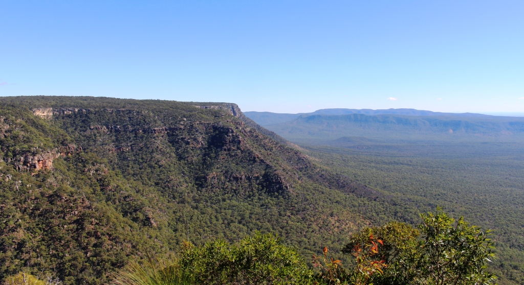
After Dingo, the road flattens and points like an arrow or wavers slightly toward the ever moving horizon which may be a distant arc where sky meets the plain or the variable outline of a range of hills. We are surprised to find that we are just 20 kilometres east of Alpha, or 460 kilometres from our starting point at the coast, before we reach the summit of the Great Dividing Range. The whole 444 metres of it! We are then in the Lake Eyre catchment. We feel as though we are getting somewhere.
Our first night was spent at Duaringa, in a council sponsored camping area, which we shared with about 40 other vans and motor homes. Late in the afternoon we were visited by a representative of the local Lions Club, with a notice that they will be serving breakfast the following morning. Egg and bacon muffins were our choice, with fruit juice.
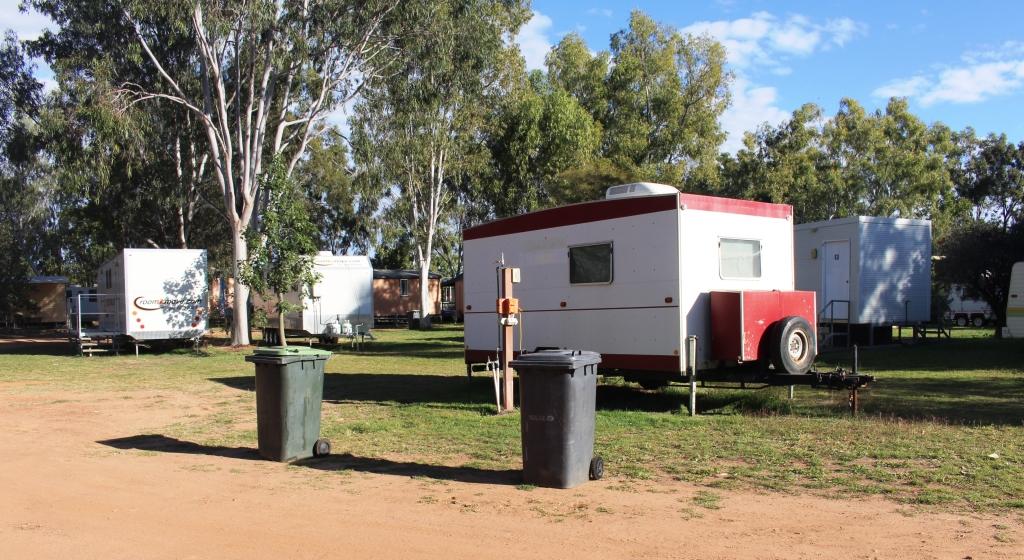
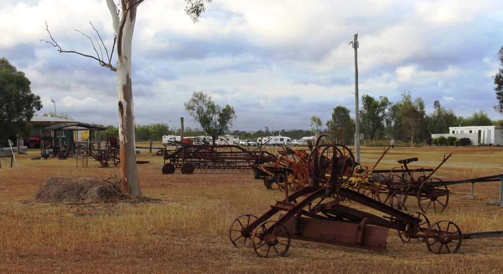
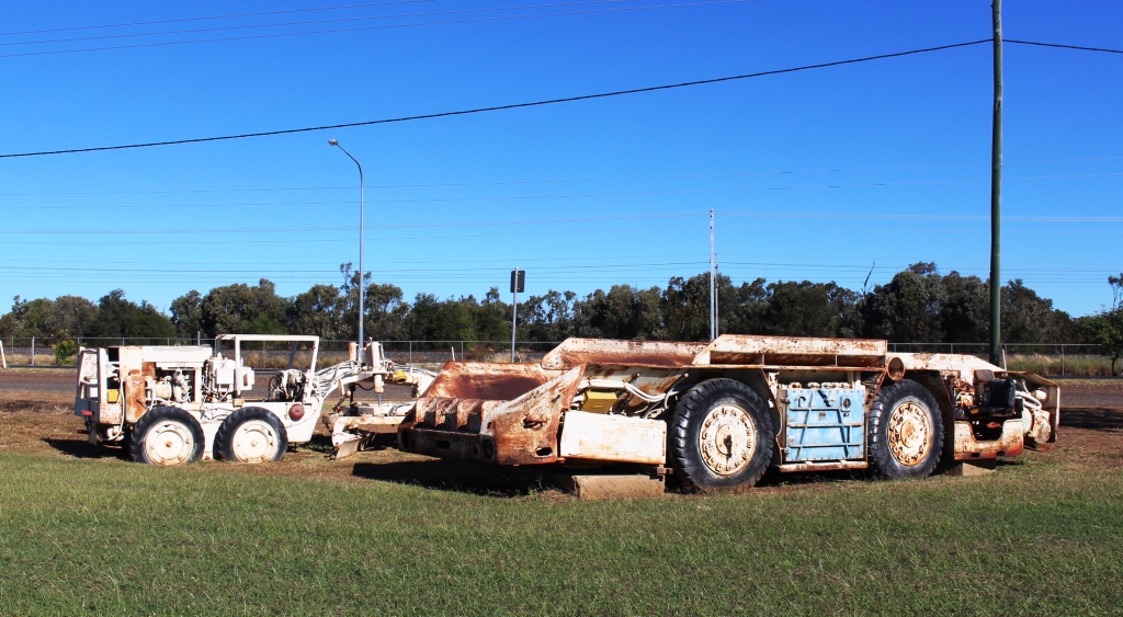
Mobile worker accommodation at Alpha
A new shopping centre has been built on the eastern fringe of Emerald, where we stopped to buy some required items. We had intended another roadside stop that night but nothing took our fancy, so we continued to the Alpha caravan park. Alpha is near to the location of the proposed coal mine that is causing some controversy at the moment. Project type accommodation units in the park suggest that some of the development team have been accommodated here.
Next we passed through Jericho, where a road side sign proclaimed that Jericho is the only town in Australia that has crystal trumpeters. Well they would, wouldn’t they?
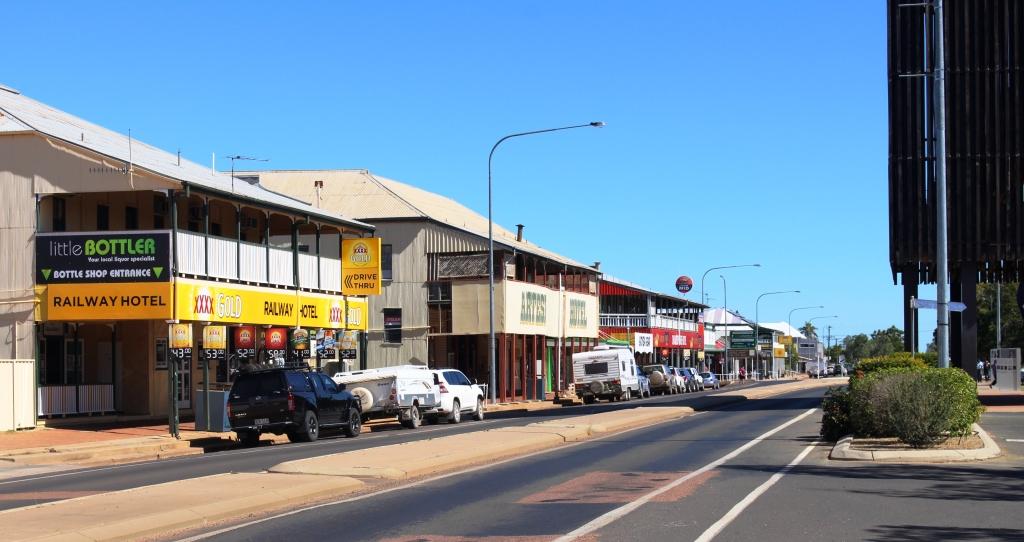
Part of the long main street of Barcaldine
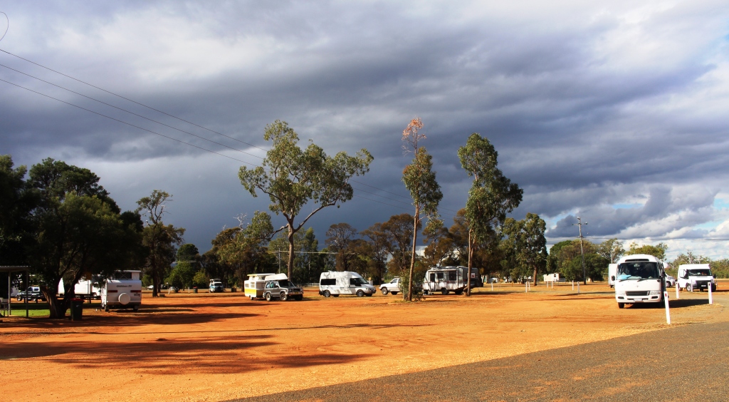
Since we left Rockhampton we have met an endless parade of caravans and motor homes. You name a brand and we have probably seen it. Strangely, there has been very little traffic, caravan or otherwise, going in our direction. When on country highways we cruise at about 80 kph. Most vans and almost all other vehicles, road trains included, travel much faster than we do, particularly when the speed limit is 110 kph. Perhaps it was because we were travelling on Saturday and Sunday. I think the lack of caravans going our way has to do with the direction in which southerners do their loops through NSW and Queensland. The majority seem to travel north inland and return home via the coast.

Inside the Tree of Knowledge memorial
Barcaldine is reached next. It has historical fame as the birth place of the Australian Labor Party. Shearers famously went on strike here in the late nineteenth century. By the look of the main street on Sunday, when we passed through, no one much has gone back to work. Caravans and motor homes lined both sides of the long main street but barely a shop was open to serve them. Is this the dead hand of unionism or high Sunday penalty rates? Or perhaps trading laws?

Set up among the trees at Barcaldine South
Barcaldine marked the temporary ending of our westward passage as we turned there to go south to Blackall. A convenient roadside rest area about 30 kilometres south provided a suitable over night stopping place. And with a bonus! Some kind soul had left a small pile of firewood right where we parked the van for the night. So we had dinner under the stars by firelight. Adding to our carbon footprint, of course! We thank the kind prior occupant.
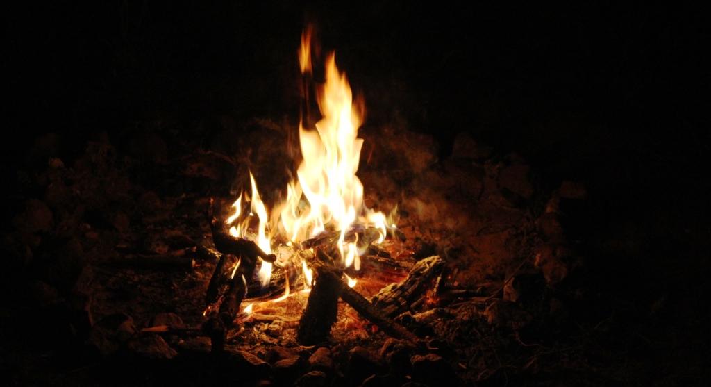
Our one and only camp fire for the trip so far
The Barcoo River at Blackall
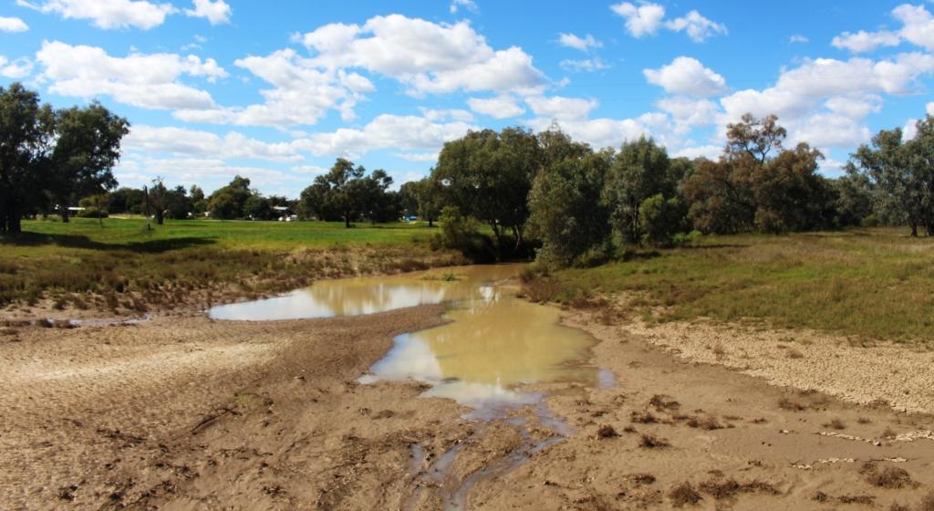
The following day we continued south to Blackall. This substantial town is on the Landsborough Highway and on the Barcoo River. After refueling we turned wast to travel across the rich flood plains of the Barcoo River system. Like many rivers in this area it is not a single stream but a series of channels and water holes that only flow when there is significant rainfall.
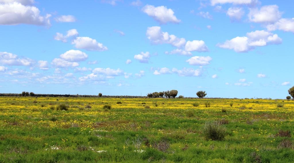
Yellow daises adorn the Barcoo flood plains
The recent rains have done their work and what was barren drought afflicted earth is now brilliantly green, with grazing stock and expanses of wild flowers. We think the flowers are daises, some white but mostly yellow. It was a very pleasant drive along a good sealed road that was almost normal double carriage way width most of the way.
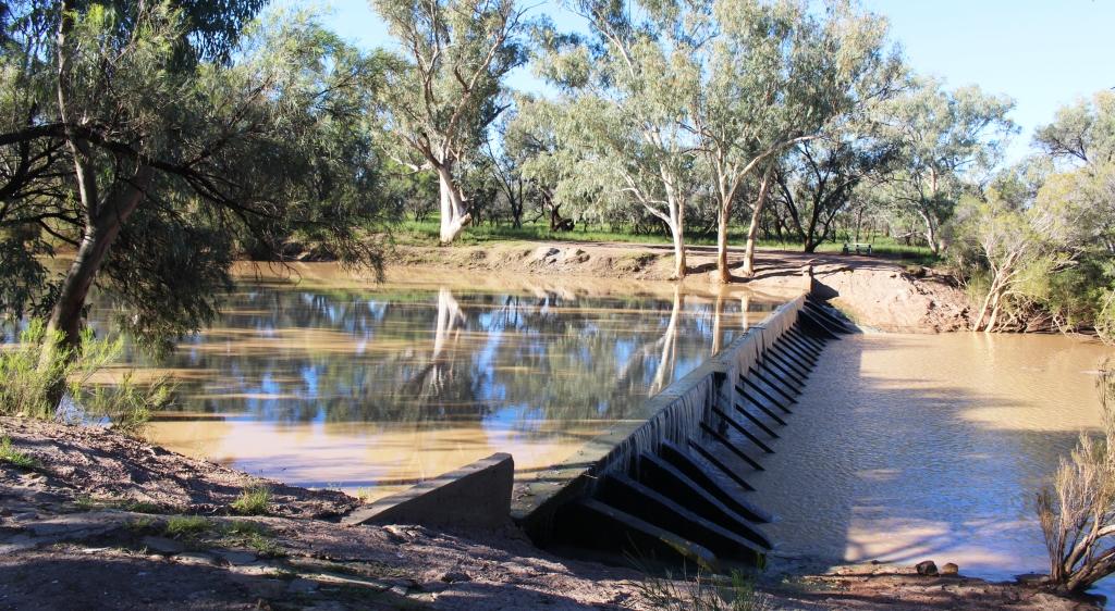
Weir on the Barcoo at Isisford
At Isisford we set up the van for the night in a council supplied area beside the weir that retains some of the water in the Barcoo. We slept to the gentle rumble of water cascading over the spillway as the recent rains make their way down stream to join with the Thompson River near Jundah to become the famous Cooper Creek.

Set up on the river bank as Isisford
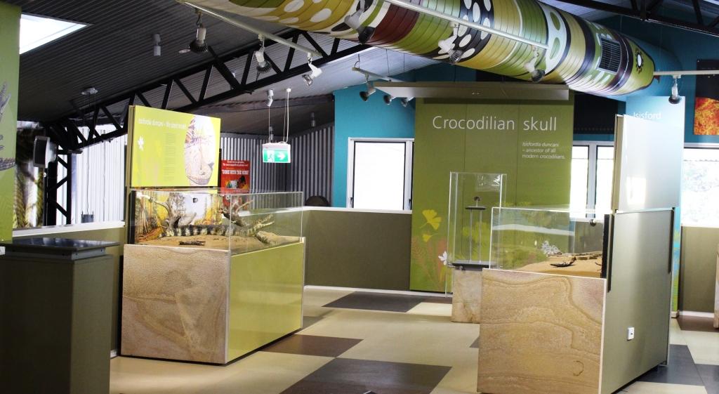
Inside the crocodile museum at Isisford
During the afternoon we took a walk through the small town. We were surprised to see a modern coffee shop with alfresco tables. On closer scrutiny, we realised that it was part of museum for the display of fossils of a prehistoric crocodile found in the area some years ago. The Isisford croc, scientifically known as Isisfordia Duncania (the last part for the discoverer whose surname was Duncan). The Isisford croc is believed to be the ancestor of the 20 plus species of crocodile and alligator known today.
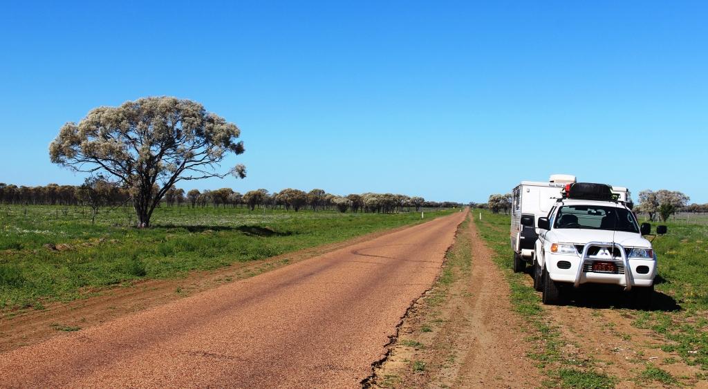
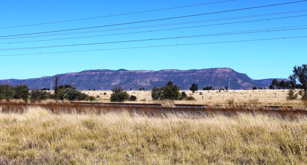
The road between Isisford and Ilfracombe is not as wide as that traveled the previous day
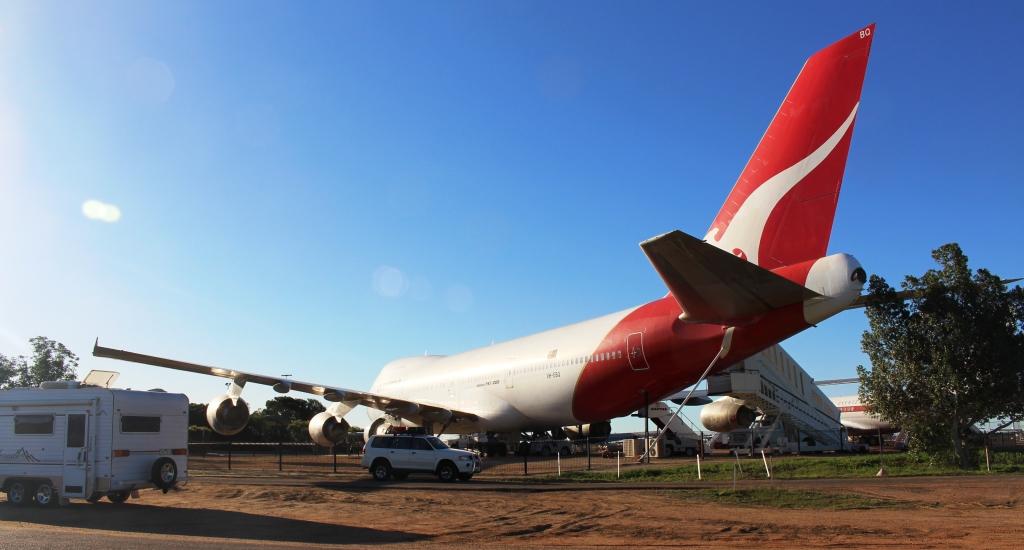
A jumbo jet at the Qantas Founders Museum
The Thompson is the river at Longreach. We arrived here yesterday. We have visited and blogged about Longreach before and have previously visited its main attractions. The Qantas museum is obvious as you drive into town. A jumbo jet parked by the road in a country town can hardly be missed. The Stockman’s Hall of Fame is almost directly opposite on the other side of the highway.

The Stockmans Hall of Fame
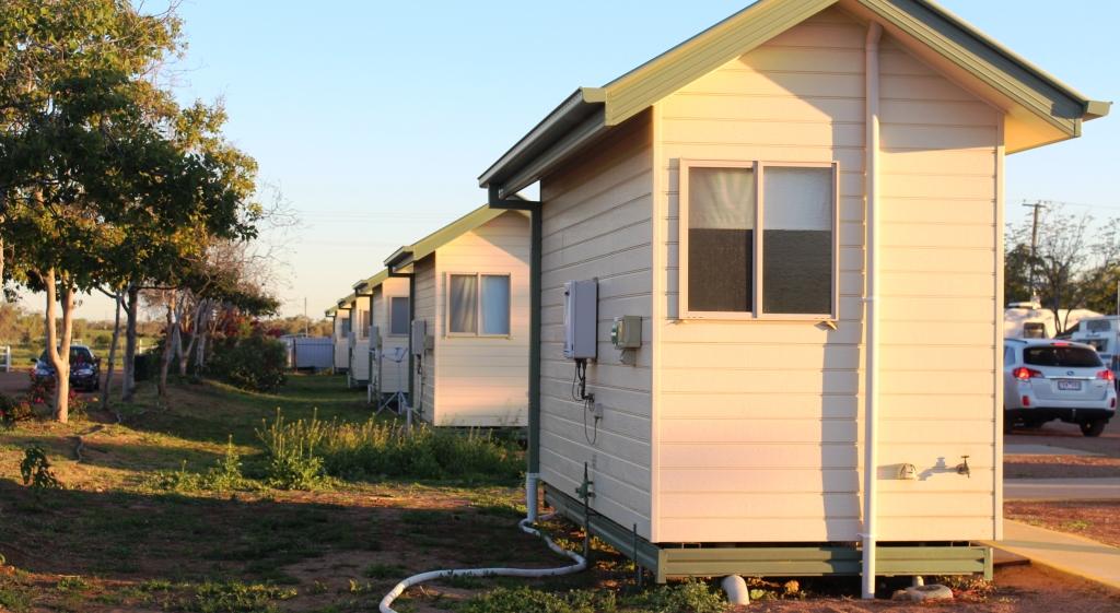
En suit units at the caravan park. A row of what?
We are at the Longreach Tourist Park and have declared a lay day. That means that we have delayed moving on for a day. It was time for a breather after five days on the move.