Interrupted Journey – North Queensland 2022 – Part 5

Dinosaurs and Brolga

Note: A video link appears at the bottom of this blog post.

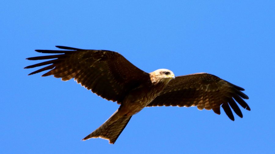
A gliding Black Kite.

All along the highway from about Blackall, roadkill was attended by birds that I thought were a type of Kite and black Crows. Once I got a photo, I was able to identify them as Black Kites. Their appearance and behaviour, such as their swooping flight and that they were in flocks. I posted about Plumed Whistling Ducks and Crested Pigeons in the previous post. So that’s it for Birds at Longreach.

We departed Longreach early to reach Winton in good time as we had a drive of about two and a half hours after Winton, to reach our overnight stop at Hughenden.
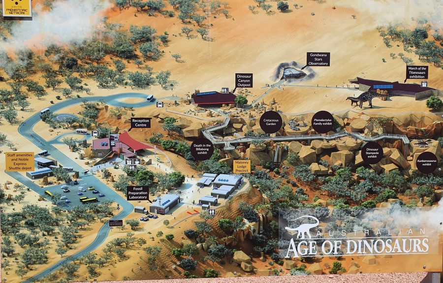
Australian Age of Dinosaurs layout. Entrance road is in the lower left hand corner.
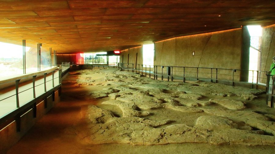
The Dinosaur footprints, recovered from swamp country and reinstalled in a temperature controlled building for display and preservation.

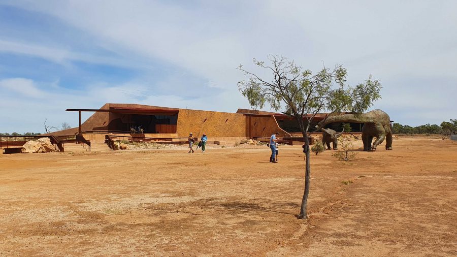
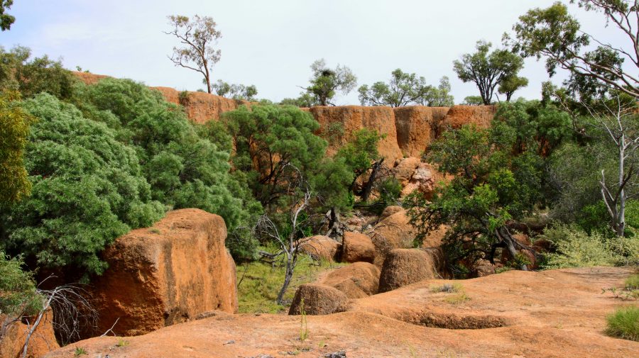
The location of The Australian Age of Dinosaurs is on the Longreach side of Winton, so that helped. Part of the success of this attraction is the brilliant sighting on top of a jump up. The top is quite flat, probably a couple of hundred metres above the grassy plains of the grazing area. Huge rocks have broken away around the edge and moved a short distance to where they have become stable. All of the buildings are on the plateau, but some displays have been built on and among those huge rocks around the plateau rim.

March of the Titanosaurs Building where the footprints are displayed.

We arrived about an hour ahead of our tour and presented ourselves at reception. We were given an earlier tour start. The session required a short trip on a shuttle to the Dinosaur Canyon Outpost. This part is relatively new. It is in a large fully enclosed building into which has been moved a large area of fossilised rock that was found in the lower country. It is part of an ancient swamp where Dinosaur footprints of various sizes have been frozen in time. The guide points out some differences between the footprints and what it is thought the creatures were doing at the time.
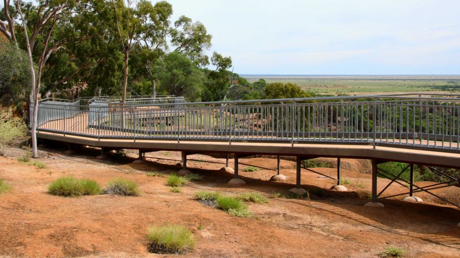
A board walk extends to the Dinosaur Canyon Walk.
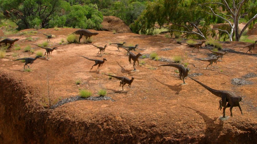
A diorama of Dinosaurs in stampede mode.
Tumbled boulders at the edge of the Jump Up.

The displays that have been built among the rocks on the side of the jump up, are in this area.

About 50 km away on the Jundah Road south of Winton is the site of the dinosaur stampede. We saw it years ago and found it to be most interesting but inconvenient to get to, because of the condition of the road. So to have this display of similar footprints so easily accessible is a great convenience.
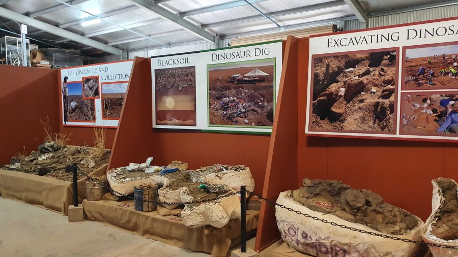
Digs, recovery of fossils and storage of fossils awaiting processing.

The next part of the tour required a drive or walk of about 500 metres to the laboratory, where the fossils are prepared for display or further research. We were taken through the detail if how digs for fossils are conducted and the fossils secured and brought back for further processing so that the item can be positively identified. Finally we watched as the workers used a variety of tools to remove foreign material without causing damage to the fossil.
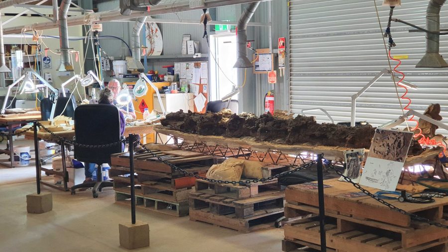
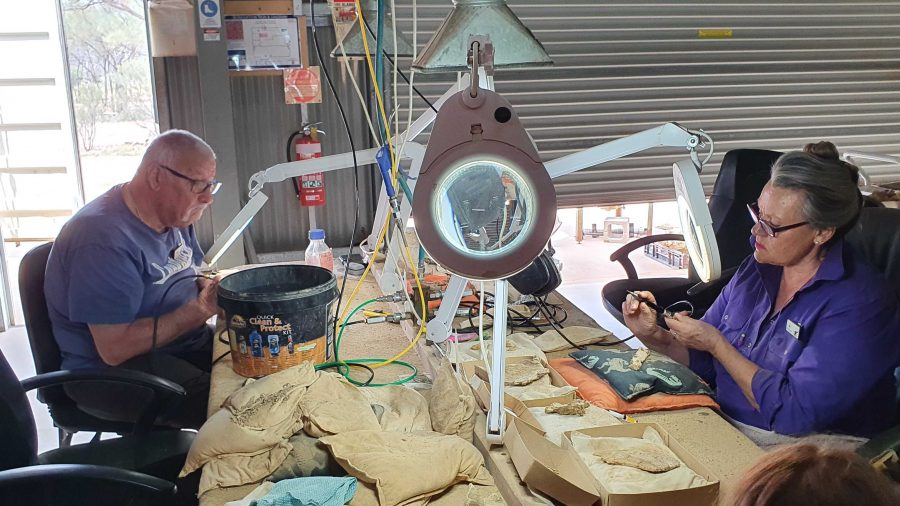
Work in progress
Two volunteers working to on fossils.
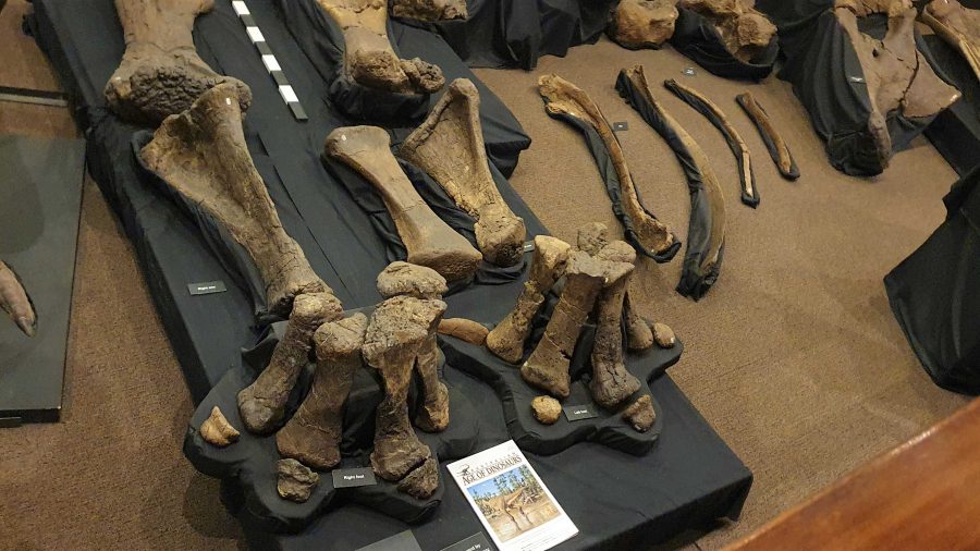
Recovered and restored fossils.

Finally, we returned to the museum at the main building for a presentation of how the finished fossils are used to recreate the original creature, or part of a creature, using genuine parts or parts fabricated to replace the missing bit. These are displayed as models, a leg for example, and in photographs or sketches. There is an interesting display of parts that don’t fit with anything else but are genuine.
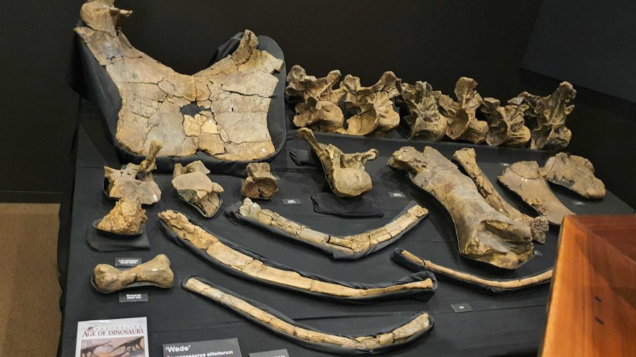
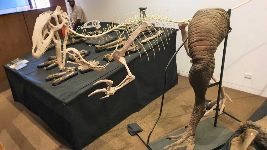
More recovered and processed fossils.
An example of the use of fossilised parts to recreate a body part,

Since the café is in the same building as the museum, we had coffee and a sandwich and drove into Winton for a petrol refill at $2.02 per litre. But that now seems cheap compared to $2.15 that I saw on a pump at Redcliffe yesterday.
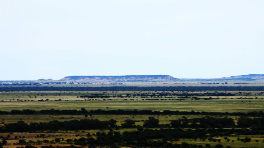
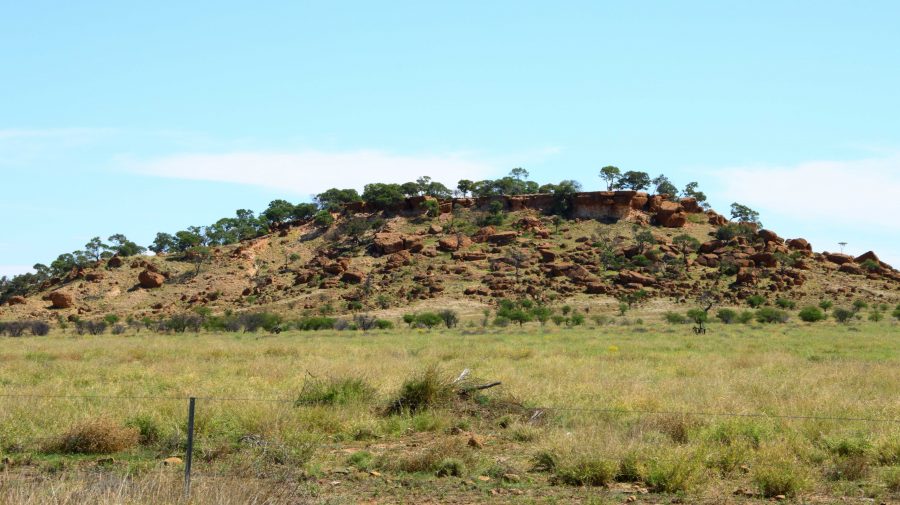
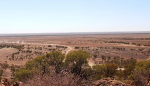
A view from the museum grounds of a distant jump up. Part of Winton about centre left, just below the skyline. The flat topped mountains are a feature of this part of Queensland.
A typical small jump up or mesa in the area.
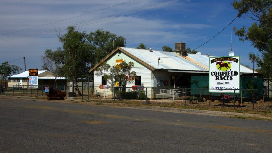
Corfield Hotel, currently closed.

The drive to Hughenden is on sealed road except for the first 15 km that is currently a dirt side track running parallel with an almost completed new road. We stopped at the tiny town of Corfield for a break. This “town” boasted a pub and racetrack. The pub is now permanently closed but I am not sure about the racetrack. They used to conduct a “Corfield Cup” but a lot of those country events were cancelled during the Covid epidemic and have not restarted.

 There are no real towns along this road, just one other notable locality, Stamford that has a school.
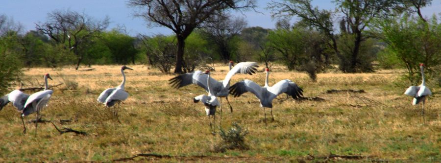
Brolga near Hughenden
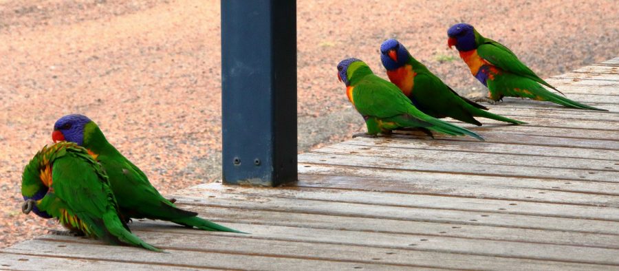
Rainbow Lorikeets on our door step at Hughenden.

About 30 km short of Hughenden, we came across a group of Brolga. The Brolga were in a paddock about 30 km south of our destination. I was separated from the Brolgas by a 4 strand well maintained barbed wire fence, when I took some photos. They kept moving away until I reached the fence. Then they turned around and looked at me. I wonder if they knew that I could not get through the fence.

On our arrival at the caravan park in Hughenden, our doorstep was taken up by Rainbow Lorikeets being fed by a resident. Most flew away but some stayed to see if there was more food on offer.
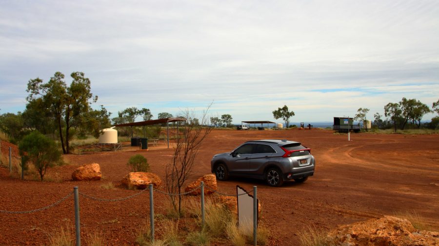
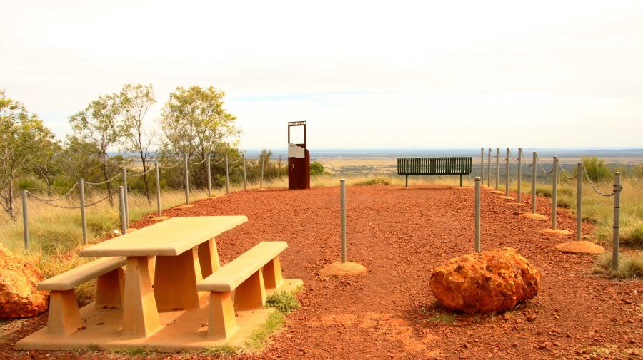
The area at the summit of Mt Walker. All lookouts are joined to the central area by gravel paths.
Lookout to the Southeast.

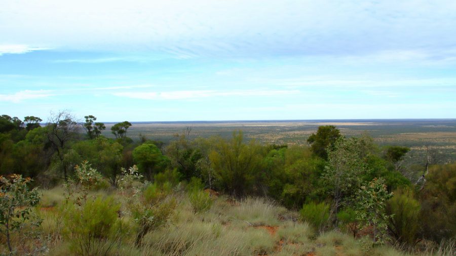
About 10 km south of Hughenden is Mount Walker, named in memory of the leader of an expedition to find Bourke & Wills. It is about 450 metres above sea level but stands well above the surrounding terrain. It is part of two adjoining stations, the owners of which combined with the local council to install a road and visitor facilities. There are about six lookouts that face in all directions, each one providing panoramic views. We made it our first call of the morning, before heading east.
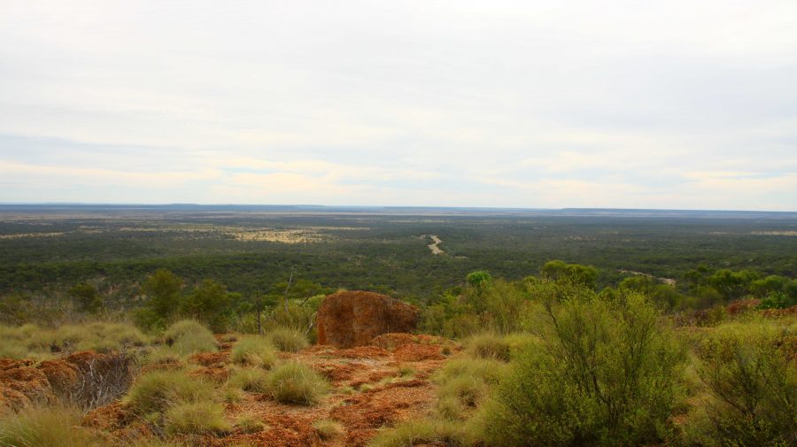
View to the Northeast. The road to Hughenden can be seen below.
Tables and seats are scattered around the area.
White Mountain National Park near Torrens Creek

There are only small towns on this stretch of road, until we reached Charters Towers with its approximately 9,000 population. We did coffee at Torrens Creek and experienced the “excitement” of a 60-truck fertiliser train passing through.
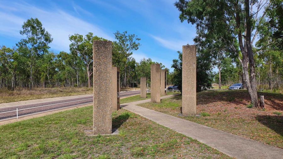
Memorial to the Completion of the Sealing of the Hervey Range Road.

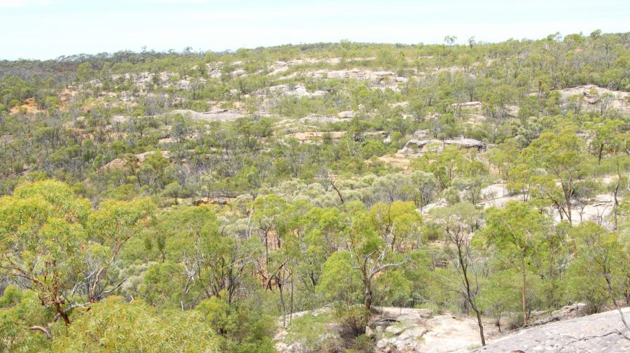
A geological feature of some note, the White Mountain National Park, is a further 30 km. You need a 4WD to get into the park but some of its signature white stone is visible from a rest stop by the highway.

We continued amid little traffic to Charters Towers, where we arrived at about 1 pm. It was pleasing to see petrol at around $1.70 per litre.

After a restful afternoon and evening, we left next morning for Townsville and the ferry terminal, but went the long way. We drove north-west on the Gregory Highway until we reached a place called Basalt, where we turned east into the Hervey Range Road. We stopped to see a memorial to the completion of sealing the road. Hervey Range Road is part of the network of “beef roads” that criss-cross Northwest Queensland. This one takes beef to the processing works at Townsville.
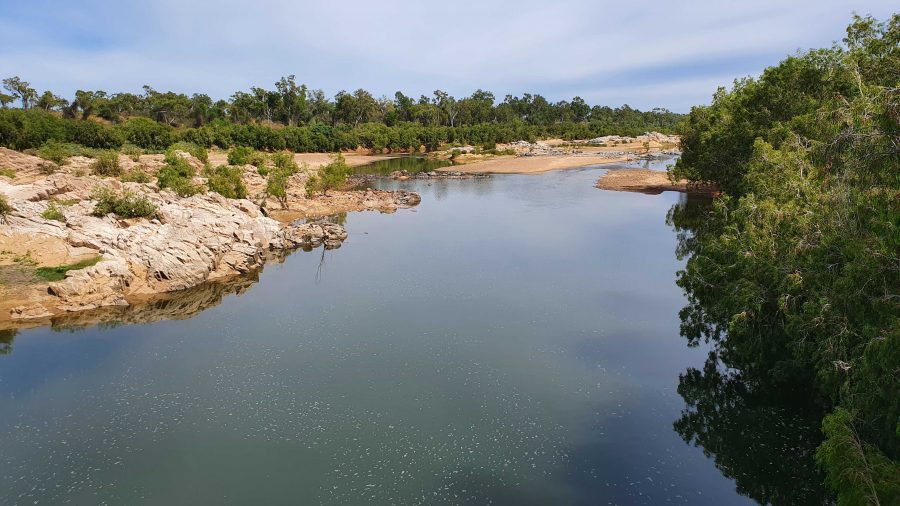
The Burdekin River upstream of the Hervey Range Road Crossing.
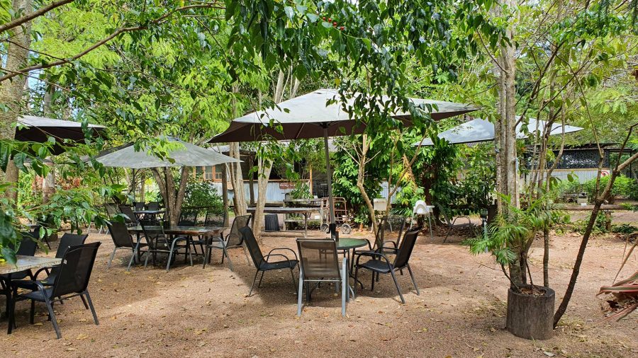
The Hervey Range Tea House without customers. A very present place to stop for a break, Wednesday to Sunday.
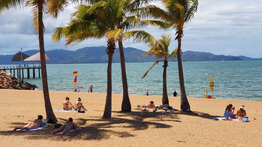
Ah! The Tropics! Beach goers relaxing on Townsville Beach.

We then crossed the Burdekin River and stopped at the Hervey Range Tea House. The day was Monday, and this is a weekend drive location for Townsville residents. The tea house is closed on Mondays and Tuesdays, but we knew that. There were no coffee stops available until we reached the suburbs of Townsville. Topped up with coffee and with some time to fil in before the departure of the ferry, we found a parking space in The Esplanade where we were able to see Magnetic Island and enjoy the beach, fresh air and sunshine. We caught our ferry with time to spare,
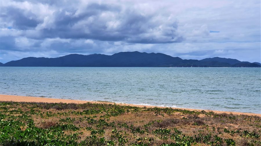
Magnetic Island from Townsville beach.

Interrupted Journey – North Queensland 2022 – Part 3

Heading for Dinosaur Country

Note: Two video links appears at the bottom of this blog post.

Please note the video link at the foot of this post to the Carnival of Flowers.

We set off on the morning of Monday 26th September to complete our Covid interrupted tour. Instead of going back to Townsville to start where we left off, we travelled inland via Toowoomba and took the opportunity to visit the Carnival of Flowers as we passed through, spending our first night at Chinchilla.

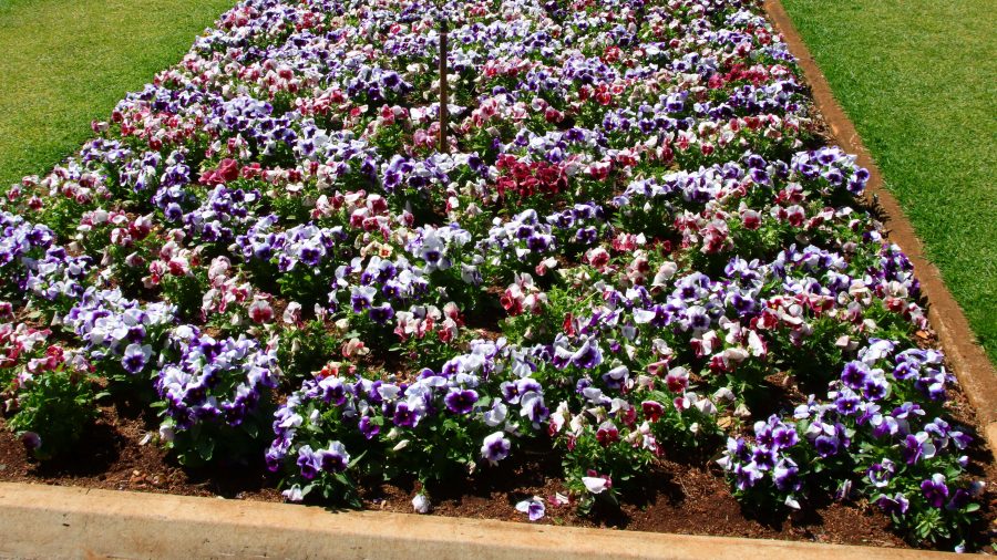
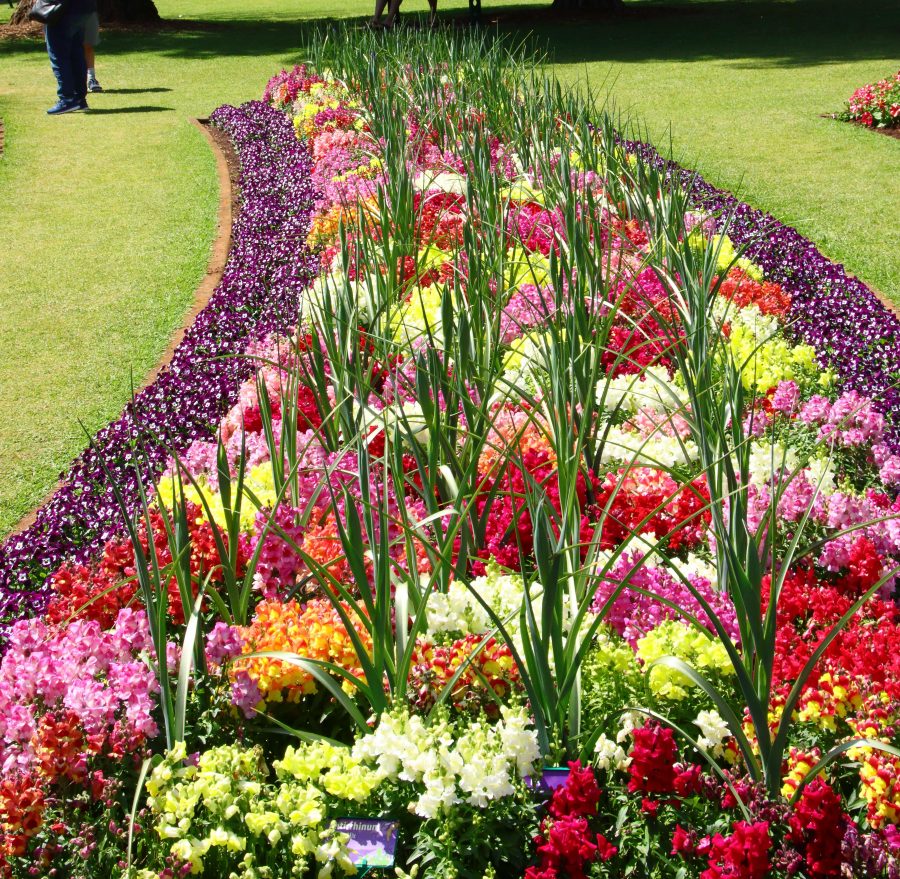
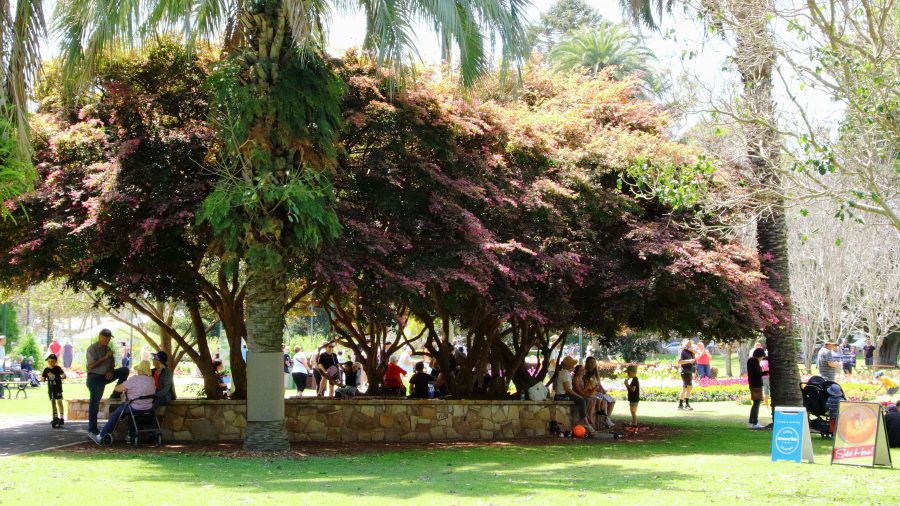
The flowers at Toowoomba were up to the normal high standard. As our visit was late in the carnival, most of the additional activities had finished. The flowers and a few food vans parked down the back was all that remained of the festive area. But we were there to see the flowers and were well satisfied with the offerings on display. The greatest challenge was to take a photo of a flower bed without an Asian tourist in the foreground having their photo taken.

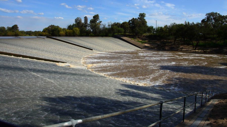
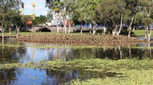
A thin sheet of water over the face of Chinchilla Weir as the water flows towards the Murray River.

We drove on to Dalby for lunch having skipped morning coffee. In planning I had identified some likely bird locations to try before reaching our overnight stop at Chinchilla. I had no luck until Chinchilla Weir where we found greatly improved camping conditions from those we remembered from our previous visit. And we found a flock of Apostle Birds. I believe these birds are so named because of their practice of flocking in groups of about a dozen. Water was cascading over the weir.

A thin sheet of water over the face of Chinchilla Weir as the water flows towards the Murray River.
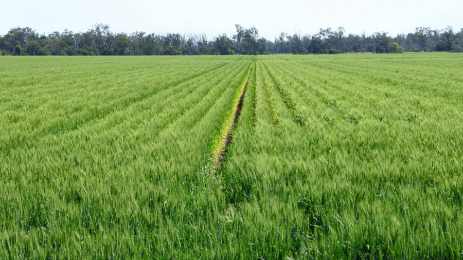
Recently germinated crops line the roadside in this part of the Darling Downs.
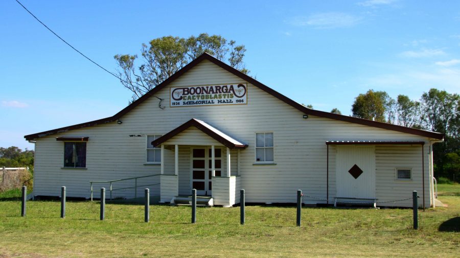
Boonagara, reached just before Chinchilla, built a public hall to commemorate success in using a grub to defeat cactus infestation.
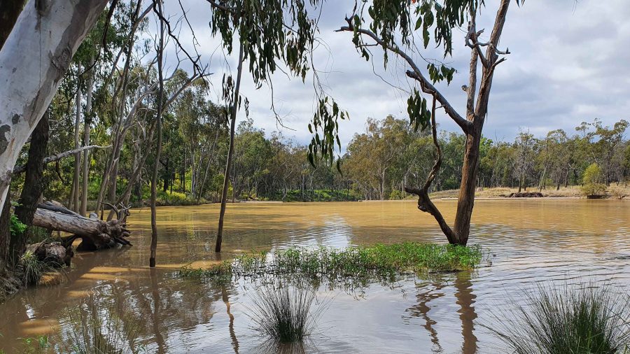
Gil Weir is located just west of the Leichardt Highway, south of Miles

Friday saw us headed for Morven, a very small town where the Landsborough Highway branches from the Warrego Highway. It leads to Longreach as the major town in that direction. This piece of road is also known as the Matilda Way, but that is more for promotional purposes that accurate geography.

We checked for birds at Gill Weir, south of Miles and Judd’s Lagoon, south of the highway, closer to Roma. All that we found in both places was overflowing weirs and long term bush campers, most of which were in their highly equipped caravans. Rising water levels inundate water bird feeding grounds and I imagine, causes the birds paddle harder to stay in the same place. The birds are not silly. Thy go somewhere else.

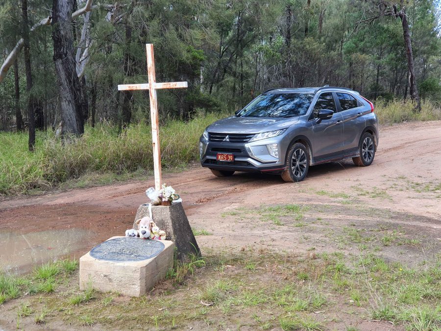
Memorial to fettlers wives near Dulacca
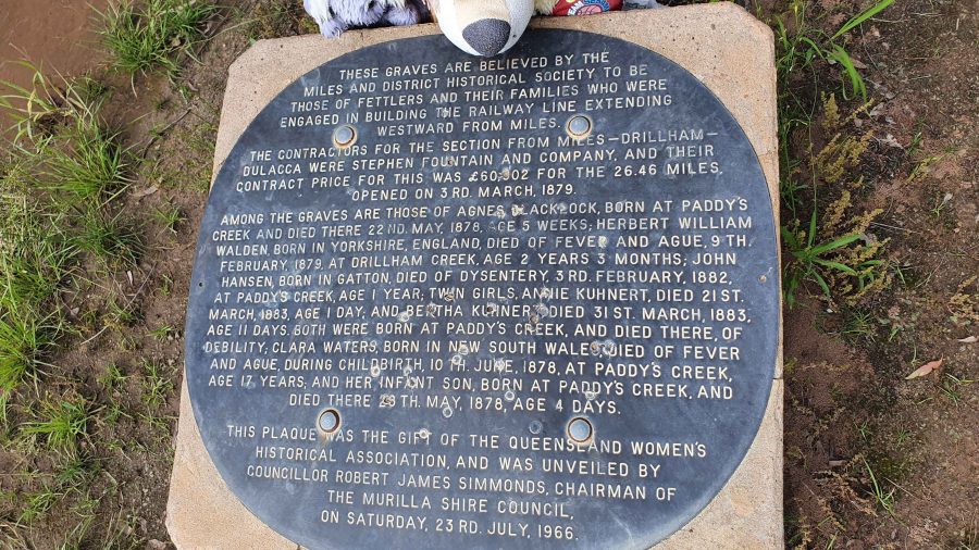
The informative plaque that is part of the memorial.

Roadside, just before Dulacca out towards Roma, we came upon a memorial to the railway fettlers and the women who supported them while building the western railway line from Miles to Dulacca in 1978-79. In those days families had to travel with their breadwinners if they wanted to see them. No FIFO in those days.

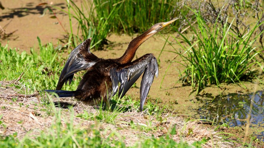
Australian Darter, drying off following a fishing session.

After morning coffee at Roma’s Big Rig, we had a look at Roma Bush Gardens, located just off the highway past the town centre. Walking around the lake was restricted by flooding but I did see some Mallards and an Australian Darter, drying its wings in the morning sunshine after fishing excursion.

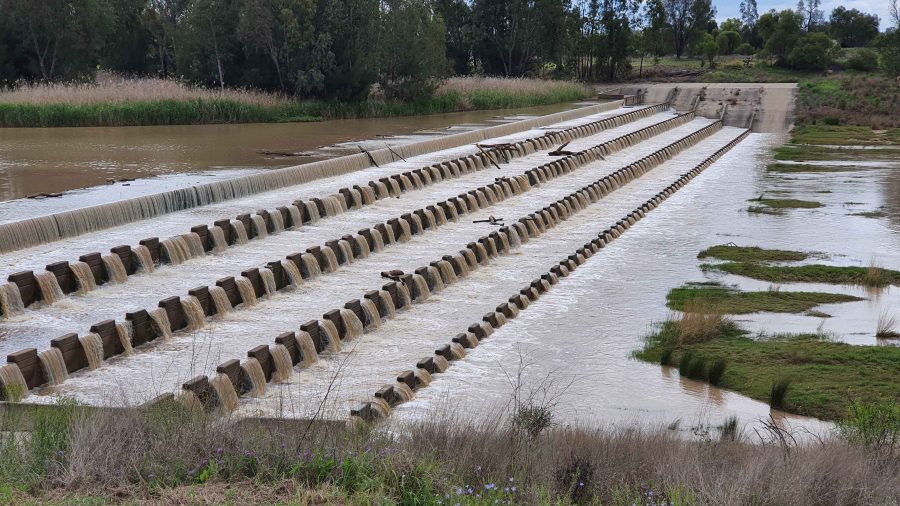
Neil Turner Weir on the Maranoa River at Mitchell was overflowing. We have not seen this in several visits.

We took our lunch break at Neil Turner Weir, a water storage on the Maranoa River near Mitchell. Mitchell is probably best known for its therapeutic artesian spars. We have used the camping area at the weir on several occasions but had not seen the dam overflowing before. It reminded us that so much of our travel through Australia’s outback occurred during the drought years.

The Pick-a-Box Motel at Morven
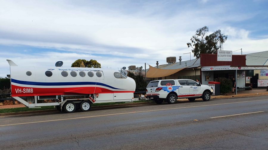
A Royal Flying Doctor Promotional Van Parked Outside The Motel.

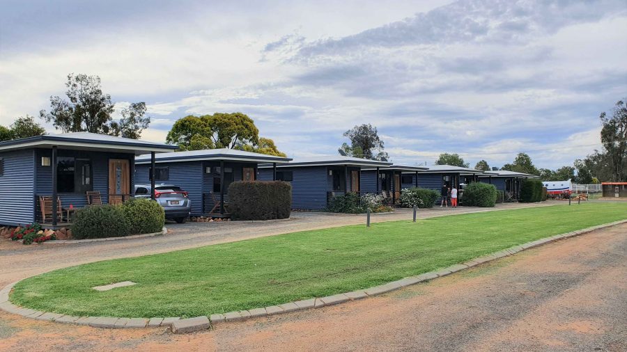
The Pick-a-Box Motel was our resting place for the night. The motel is a small group of newish iron-clad cabins near to and managed by the Morven Hotel, recently rebuilt following a fire. The only excitement in town was a Royal Flying Doctor Service caravan in the shape of an aircraft fuselage, parked in the street outside.

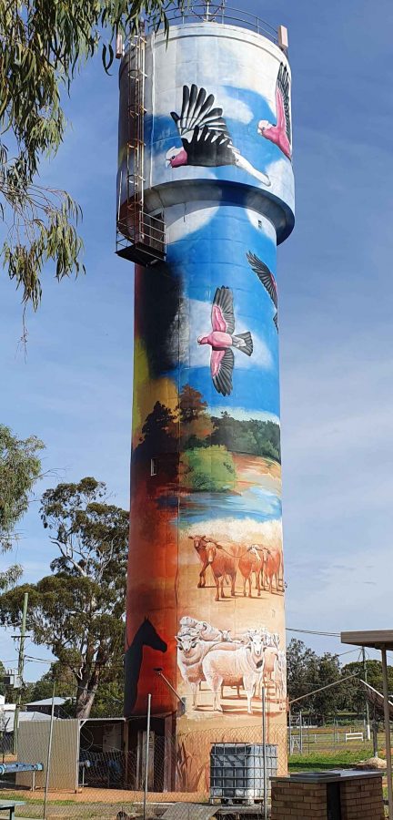
So, from Morven on Wednesday morning, we turned north-west on the Landsborough Highway. First stop was a call at the first town, Augathella, a distance of about 90 km. The town is quite old and has been supporting the local agricultural community since its founding in 1883. Like many outback towns, it has upgraded its visitor facilities for grey nomads. Artists have painted pictures on its water tower, art silo fashion.

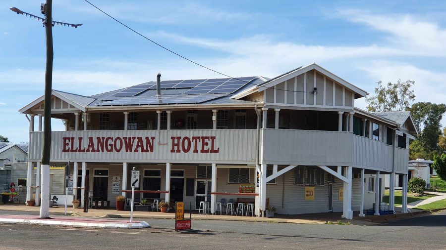
The Ellangawan Hotel bears Augathella’s original name.
The list of local water birds at Tambo. Most on the list were conspicuous by their absence.

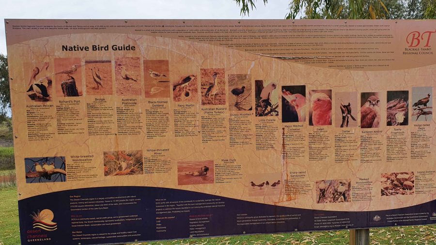
Next, about the same distance further north-west, we arrived at Tambo, another pioneering town (1868) with good visitor facilities. We paused for morning coffee beside the small dam at the entrance of the tow. By the lake there is an information sign providing details of the many water birds to be found in the area. There were very few on display for us, although small birds such as Noisy Miners were busy in the tree.

Continuing, we crossed the Barcoo River and arrived at Blackall, which was built on the banks of that stream. Major Thomas Mitchell explored this part of Australia in 1846. The town developed in the 1860s as an agricultural service centre. Again, it has good tourist facilities. It is surrounded by vast expanses of open naturally grassed pasture, as is much of this area. We had been driving through it all morning.
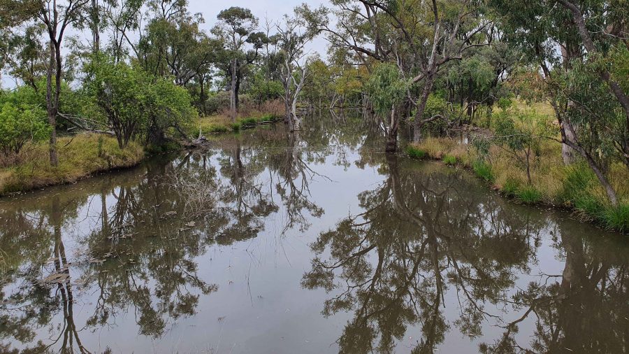
The Barcoo River at the Landsborough Highway crossing.
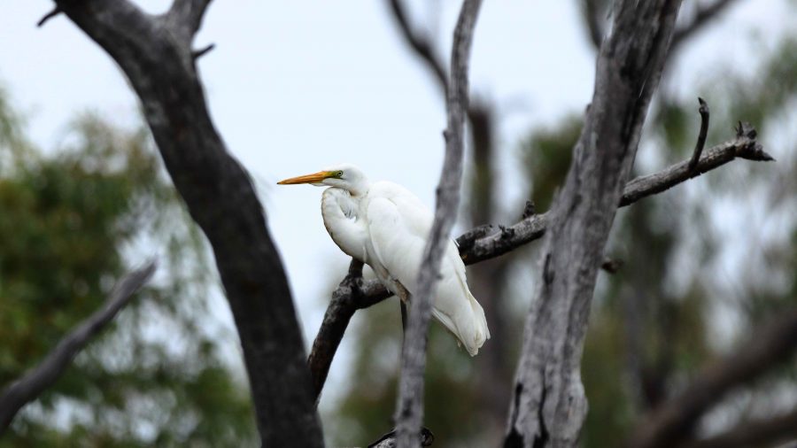
An Eastern Great Egret perched in a tree over the Barcoo River.
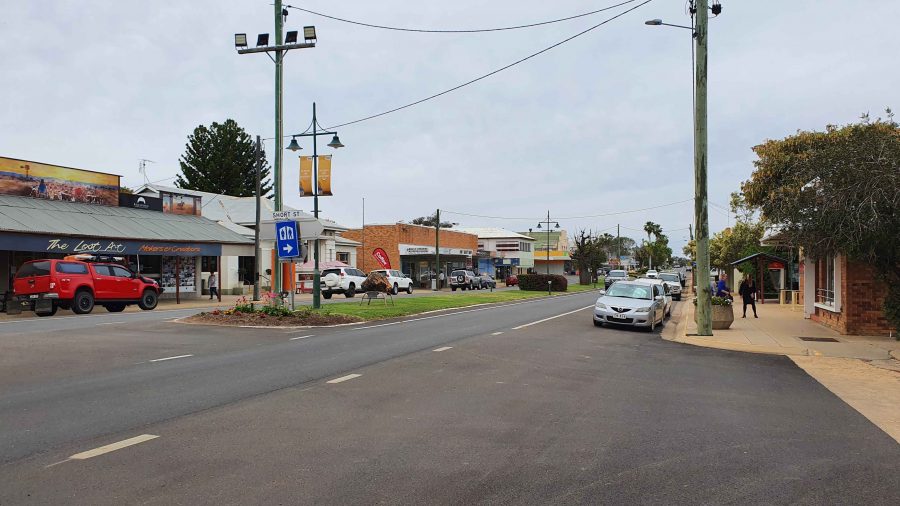
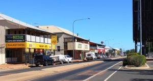
Blackall main street is the highway.
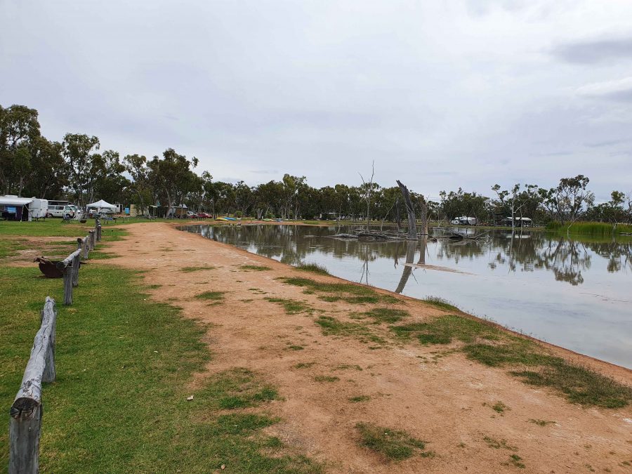
Part of the billabong and camping area at Lara Wetlands

The next town along this highway is Barcaldine, but about 45 km before that we turned off to the left and drove the 16 km of dirt station road to look at Lara Wetlands. This is a camping area that almost surrounds a large waterhole filled with dead trees, so is probably the result of a dam. Lara Station is an operating cattle station. They run the camping ground in conjunction with the station. There are reported to be 164 species of birds identified in the area. But there is no power and only one cabin. Interesting spot, all the same.
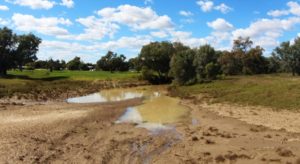
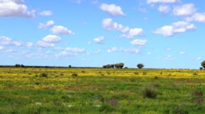
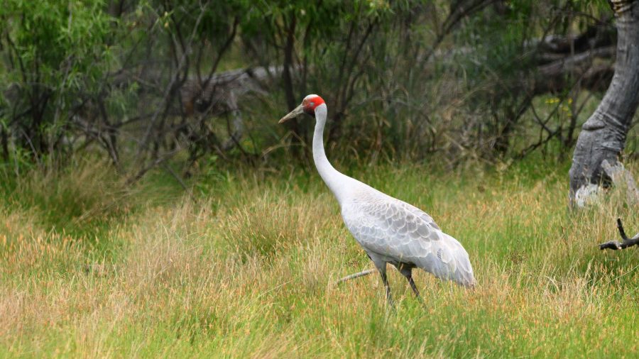
A Brolga by the road as we drove into Lara Wetlands.

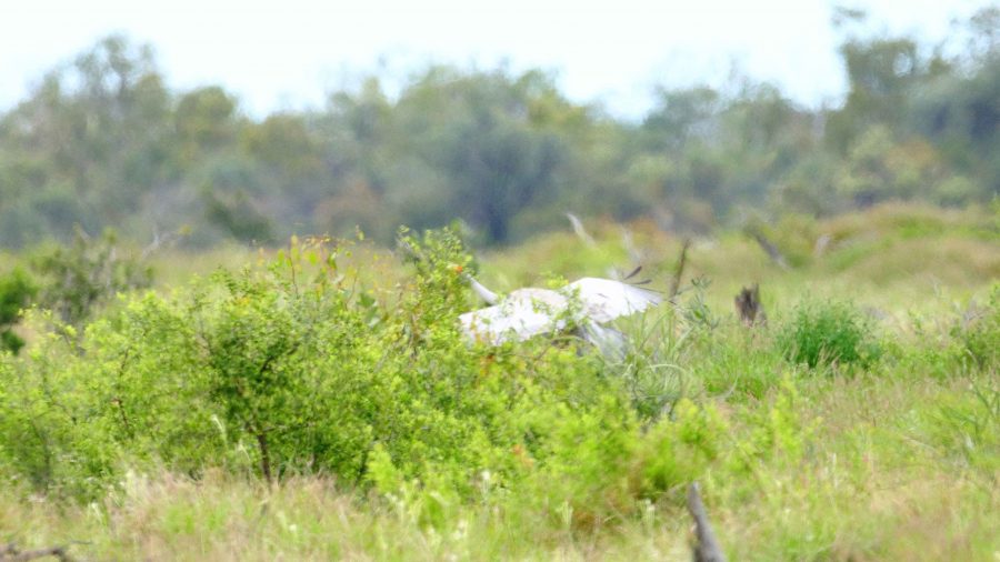
As we drove into the Lara Station, Ruth saw a large grey bird at the edge of the trees. I stopped and got some good photos of a Brolga. It was wandering up and down and seemed quite settled but as I turned back to the car, I heard the whoomp whoomp whoomp of large wings as the Brolga took to flight. I turned just in time to snap it disappearing behind some brush. Not a very good photo, sadly.

The Brolga landing in the brush by the roadside.

We refuelled at Barcaldine, paying for the first time just over $2 per litre for unleaded petrol. At Barcaldine the highway turns left and west through Ilfracombe to Longreach. Scattered cloud meant that the western sun was not too much of a problem. We had travelled quite a distance in pursuit of the setting sun since leaving Brisbane, so the days were ending quite a bit later.

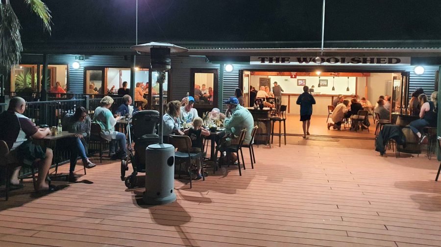
The deck at the Woolshed Restaurant at Longreach.

We were able to get a booking at the Woolshed Restaurant at Longreach Tourist Park, where we had a cabin. Last time we were here they were booked out. They were again but we had booked in time. An excellent meal even if the entertainment was a bit loud.

While at Longreach we returned to Ilfracombe and also drove south to Isisford. That drive is covered in the next blog post.

West, Centre and Flinders – Days 12 to 17 – Traveling West

Ducks around a roadside pond as we left Rockhampton

Ducks around a roadside pond as we left Rockhampton

According to Google Maps, by the time we turn south at Boulia, we will be 1,288 kilometres by road from the coast at Yeppoon.  This will have taken about eight days, so you can see that we are not in a hurry. But we will have covered about 200 extra kilometres by turning south at Barcaldine, then travelling west to Isisford and then back to the Capricorn Highway at Ilfracombe, before turning west again to Longreach.

The coastal area is relatively flat and there is no real sensation of gaining elevation as we travel towards the Central Highlands until quite some distance west of Rockhampton. At a couple of places the climb is steep but generally the country undulates with each up grade taking us higher than the last.


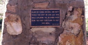
Inscription from the Mitchell plaque

A commemorative plaque to Major Sir Thomas Mitchell who explored this area

After Dingo, the road flattens and points like an arrow or wavers slightly toward the ever moving horizon which may be a distant arc where sky meets the plain or the variable outline of a range of hills. We are surprised to find that we are just 20 kilometres east of Alpha, or 460 kilometres from our starting point at the coast, before we reach the summit of the Great Dividing Range. The whole 444 metres of it! We are then in the Lake Eyre catchment. We feel as though we are getting somewhere.

Our first night was spent at Duaringa, in a council sponsored camping area, which we shared with about 40 other vans and motor homes. Late in the afternoon we were visited by a representative of the local Lions Club, with a notice that they will be serving breakfast the following morning. Egg and bacon muffins were our choice, with fruit juice.

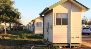
Mobile worker accommodation at Alpha

Mobile worker accommodation at Alpha

A new shopping centre has been built on the eastern fringe of Emerald, where we stopped to buy some required items. We had intended another roadside stop that night but nothing took our fancy, so we continued to the Alpha caravan park. Alpha is near to the location of the proposed coal mine that is causing some controversy at the moment. Project type accommodation units in the park suggest that some of the development team have been accommodated here.

Next we passed through Jericho, where a road side sign proclaimed that Jericho is the only town in Australia that has crystal trumpeters. Well they would, wouldn’t they?

Part of the long main street of Barcaldine

Part of the long main street of Barcaldine

Since we left Rockhampton we have met an endless parade of caravans and motor homes. You name a brand and we have probably seen it. Strangely, there has been very little traffic, caravan or otherwise, going in our direction. When on country highways we cruise at about 80 kph. Most vans and almost all other vehicles, road trains included, travel much faster than we do, particularly when the speed limit is 110 kph. Perhaps it was because we were travelling on Saturday and Sunday. I think the lack of caravans going our way has to do with the direction in which southerners do their loops through NSW and Queensland. The majority seem to travel north inland and return home via the coast.

Inside the Tree of Knowledge memorial

Inside the Tree of Knowledge memorial

Barcaldine is reached next. It has historical fame as the birth place of the Australian Labor Party. Shearers famously went on strike here in the late nineteenth century. By the look of the main street on Sunday, when we passed through, no one much has gone back to work. Caravans and motor homes lined both sides of the long main street but barely a shop was open to serve them. Is this the dead hand of unionism or high Sunday penalty rates? Or perhaps trading laws?

Set up among the trees at Barcaldine South

Set up among the trees at Barcaldine South

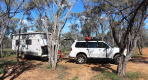
Barcaldine marked the temporary ending of our westward passage as we turned there to go south to Blackall. A convenient roadside rest area about 30 kilometres south provided a suitable over night stopping place. And with a bonus! Some kind soul had left a small pile of firewood right where we parked the van for the night.  So we had dinner under the stars by firelight. Adding to our carbon footprint, of course! We thank the kind prior occupant.

Our one and only camp fire for the trip so far

Our one and only camp fire for the trip so far

The Barcoo River at Blackall

The Barcoo River at Blackall

The following day we continued south to Blackall. This substantial town is on the Landsborough Highway and on the Barcoo River. After refueling we turned wast to travel across the rich flood plains of the Barcoo River system. Like many rivers in this area it is not a single stream but a series of channels and water holes that only flow when there is significant rainfall.

Yellow daises adorn the Barcoo flood plains

Yellow daises adorn the Barcoo flood plains

The recent rains have done their work and what was barren drought afflicted earth is now brilliantly green, with grazing stock and expanses of wild flowers. We think the flowers are daises, some white but mostly yellow. It was a very pleasant drive along a good sealed road that was almost normal double carriage way width most of the way.

Weir on the Barcoo at Isisford

Weir on the Barcoo at Isisford

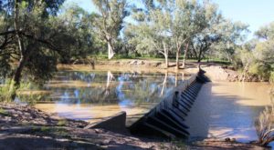
At Isisford we set up the van for the night in a council supplied area beside the weir that retains some of the water in the Barcoo. We slept to the gentle rumble of water cascading over the spillway as the recent rains make their way down stream to join with the Thompson River near Jundah to become the famous Cooper Creek.

Set up on the river bank as Isisford

Set up on the river bank as Isisford

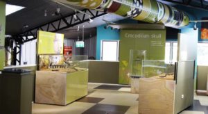
Inside the crocodile museum at Isisford

Inside the crocodile museum at Isisford

During the afternoon we took a walk through the small town. We were surprised to see a modern coffee shop with alfresco tables. On closer scrutiny, we realised that it was part of museum for the display of fossils of a prehistoric crocodile found in the area some years ago. The Isisford croc, scientifically known as Isisfordia Duncania (the last part for the discoverer whose surname was Duncan). The Isisford croc is believed to be the ancestor of the 20 plus species of crocodile and alligator known today.

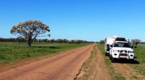
The road between Isisford and Ilfracombe is not as wide as that traveled the previous day

The road between Isisford and Ilfracombe is not as wide as that traveled the previous day

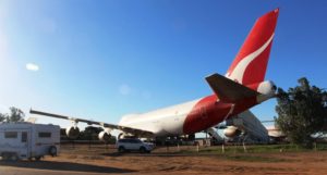
A jumbo jet at the Qantas Founders Museum

A jumbo jet at the Qantas Founders Museum

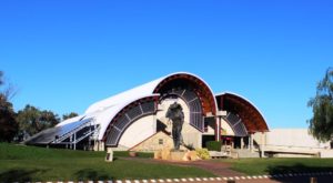
The Thompson is the river at Longreach. We arrived here yesterday. We have visited and blogged about Longreach before and have previously visited its main attractions. The Qantas museum is obvious as you drive into town. A jumbo jet parked by the road in a country town can hardly be missed. The Stockman’s Hall of Fame is almost directly opposite on the other side of the highway.

The Stockmans Hall of Fame

The Stockmans Hall of Fame

En suit units at the caravan park. A row of what?

En suit units at the caravan park. A row of what?

We are at the Longreach Tourist Park and have declared a lay day. That means that we have delayed moving on for a day. It was time for a breather after five days on the move.

A Short Northern Safari – The Last of the Dinosaurs & Rivers Through Parched Lands

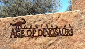
Australian Age of Dinosaus sign at the Dinosaur museum and laboratory

Australian Age of Dinosaurs sign at the Dinosaur museum and laboratory

We made an early start from Porcupine Gorge. Squally winds had roared through the trees all night so we were awake early and took advantage of the situation. The road back to Hughenden was a downhill run most of the way assisted by a brisk following wind. Refuelling in Hughenden took only a few minutes and we departed this pleasant town for Winton, the remaining corner of the Dinosaur Triangle. From Hughenden it is a run of 212 kilometres over flat grazing land on a single lane sealed road with some wider passing sections. We made two stops, the second of them at a place called Corfield pronounced the same as Caulfield in Victoria. And like its differently spelled namesake it runs, annually, a race meeting with – you guessed it – a Corfield Cup. The town contains a pub, two houses, a rest stop and, of course, a race track.

We had spent time at Winton in 2009 during our Big Lap and although there are still things that we want to do they could not be fitted into this trip. However, we did fill one gap by dining in Banjo’s Bar where the park offers a nightly three course dinner and then enjoyed the entertainment of Suzie the resident comedian bush poet. A great night’s entertainment provided by a very funny lady.

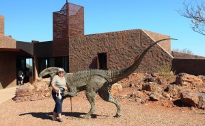
Ruth meets a dinosaur

Ruth meets a dinosaur

The third corner of the Dinosaur Triangle is provided in part by the Australian Age of Dinosaur Centre located about 20 kilometres out of Winton. The other dinosaur highlight is Lark Quarry, the sight of the dinosaur stampede. But we saw that in 2009 and a repeat was not a possibility, or of interest for that matter. The turn to the Age of Dinosaur is on top of a mesa, or jump up, just 13 kilometres on the road to Longreach. Gravel starts immediately you leave the highway, so we followed the dusty road across the flat lands and up the jump up to the very adequate parking area. The facility was quite new and very modern. There is a shop, coffee shop and display at this sight. About 500 metres away there is a laboratory where restoration work is done.

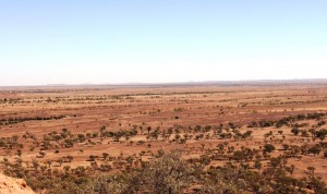
Pastures toward Winton viewed from the dinosaur centre

Pastures toward Winton viewed from the dinosaur centre

The tour covers both locations but takes about 90 minutes and costs $28 each for seniors. This tested the level of our interest in pre-historic creatures. Coffee and cake won out. After partaking we returned to the low lands and made our way to Longreach. It is an easy drive. The road is reasonably wide and quite flat, although we initially climbed slowly from the Diamantina and then descended to the Thomson.

The road from the highway to the "Jump Up"

The road from the highway to the “Jump Up”

At a couple of locations quality facilities have been provided including regularly maintained toilets, spacious picnic shelters and enough space for overnight campers to keep out of each others hair. We arrived to find the caravan park in which we had  stayed last time greatly enlarged. We had a site with the caravan between ourselves and the sun. This was most welcome as the temperature was around the mid 30s by mid-afternoon.

Goos water levels in the Thompson River at Longreach

Good water levels in the Thomson River at Longreach

Our original intention had been to continue along the Landsborough Highway until it became the Capricorn Highway at Barcauldine. From there we had intended to visit the gem fields of Sapphire and Rubyvale before turning for home. But back along the road a bit we had changed our minds and decided to continue south. Well, south west actually. So on departure next morning, after a brief shopping excursion, we called to look at the well known, among its adherents, free camping area beside the Thomson River.

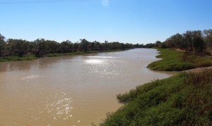
We found a few vans in a spacious area beside a river that contained much more water than we had expected. This is, of course, one of the wonders of the main waterways in the Channel Country. They have an ability to hold large pools of water for very long periods during hot weather.

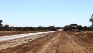
Only one sealed lane but wilh well maintained shoulders

Only one sealed lane but with well maintained shoulders

The Longreach Windorah Road follows the Thomson River between these towns, although most of the journey the river is out of sight. This is grazing country, mostly cattle but with some sheep for wool and meat production. The road is mostly unfenced and there are numerous cattle grids across the road. We saw some stock but not much as conditions are dry out there and areas of pasture are rested regularly and for long periods, so the stock could be somewhere else on the property. Of the 314 kilometres length of this road, most runs through the Barcoo Shire. This remote municipality of just 460 people covers 62,000 km2. The Thomson River runs through its length and is joined by the Barcoo in the south. Jointly they become Cooper Creek which flows, sometimes, into Lake Eyre.

Stonehenge - the entrance to and a large part of the town

Stonehenge – the entrance to and a large part of the town

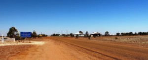
We paused for morning tea at the roadside and then continued to the mini town of Stonehenge. This tiny community of about 100 people has, of course, a pub but no store, and it has a caravan park. The council has installed power heads, an amenities block with toilets, showers and a washing machine. Visitors may stay by paying, by an honesty system, $10 per night.

Long term Indigenous water supply

Long term Indigenous water supply

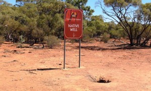
Soon after leaving Stonehenge the road rose steeply and levelled to a plateau. There, by the side of the road, is a well that indigenous people used as a water supply for who knows how long. Water is visible about 25 cm below the ground.

Jundah Store with unknown photographer

Jundah Store with unknown photographer

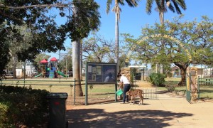
All passengers need a drink

All passengers need a drink

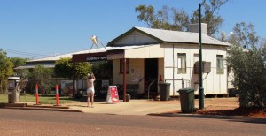
The next town is along this road is Jundah, the adinistrative centre of the Shire. It has about the same population as Stonehenge but appears to be a bit more substantial. It has a small store but no obvious fuel supply. There is a school and a police station. A small caravan park operates providing an alternative to the free camping areas on the banks of the Thomson. Beside the park, which is also the war memorial, the council has built a quality amenities block for the use of campers and other members of the travelling public.

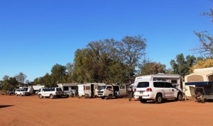
Vans at Windorah. Most are bound for Birdsville races.

Vans at Windorah. Most are bound for Birdsville races.

The road crosses the Thomson River at Jundah and continues through flat riverplains until the Diamantina Developmental Road is reached just east of Windorah. Which, of course, brings us to  the third of the three towns that comprise the urban areas of the Barcoo Shire.

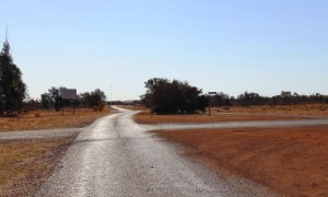
The road out of Windorah to Birdsville. There is 388 Km of it.

The road out of Windorah to Birdsville. There is 388 Km of it.

Windorah is the last town before Birdsville which is 388 kilometres further along the Diamantina Develpmental Road and the Birdsville Developmental Road. The greater part of the 200 kilometres of the Birdsville Developmental Road is sand, dirt and gravel. Consequently Windorah has businesses that offer succor to both traveller and vehicle. Long term blog readers will remember our failed attempt to reach Birdsville via the Birdsville Track in 2011 when we were thwarted by rain. We have not had the opportunity to try again so you can imagine my feelings as I gazed along that part of the road out of town that I could see from the gate of the caravan park.

The caravan park is operated by the council and it is another low cost park. Just turn up and sellect a site and a council employee will find you and collect $10 per van or tent. The amenitius were solid but very useable. Surprisingly it was possible to produce a lather under the shower. Our visit coincided with the annual pilgrimage to the Birdsville cup. Most of our fellow campers were headed there together with most of the several hundred vehicles that we met as we travelled east over the next couple of days. We heard estimates of 8,000 to 10,000 revellers at Birdsville for the Cup. In a town with a permanent population of less than 300 this is not the time of the year that I would want to visit.

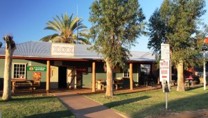
Windorah Hotel with parking meters

Windorah Hotel with parking meters

Windorah does not look to be a prosperous town but it must be. Every person who passes through spends money there. Most vehicles would need to refuel and many would top up supplies. The hotel offers rooms and cabins and there is another establishment that offers cabin accommodation.

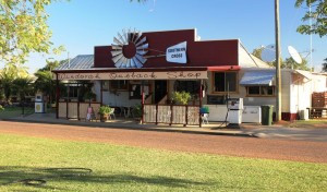
Windorah shop with fuel pumps

Windorah shop with fuel pumps

The normal flow of travellers south on the Birdsville Track and west over the Simpson Desert grows annually. In addition, increasing numbers are travelling this way to the Red Centre through Windorah to Bedourie and Boulia and then over the Donohue and Plenty Highways to Alice Springs. Councils, understanding the value of the tourist dollar, are putting more effort into road maintenance which means more regular grading. The dust is much easier to take if it doesn’t have bumps under it.

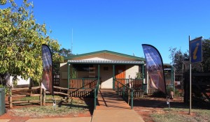
Windorah has a handy information centre

Windorah has a handy information centre

We were were much impressed by the effort by the Barcoo Council to encourage tourism. Not only are the caravan parks inexpensive, adequate and well maintained but the roads are in much better condition than in the neighbouring shires of Longreach and Quilpie. The quality of the roads literally change at the boundary. Barcoo puts great effort into keeping the shoulders graded with soil packed right to the edge of the single lane sealed strip. This reduces the risk of damage to tyres significantly.The only thing missing from the three Barcoo towns that would be useful is mobile phone coverage. With this service available we would return and spend a while. The camping places along the Thomson and Cooper looked quite attractive.

This was to have been the last blog in this series but I have too much material that won’t fit in. So watch out for the final part of the story as we share our trip home from Windorah.