Interrupted Journey – North Queensland 2022 – Part 5

Dinosaurs and Brolga

Note: A video link appears at the bottom of this blog post.

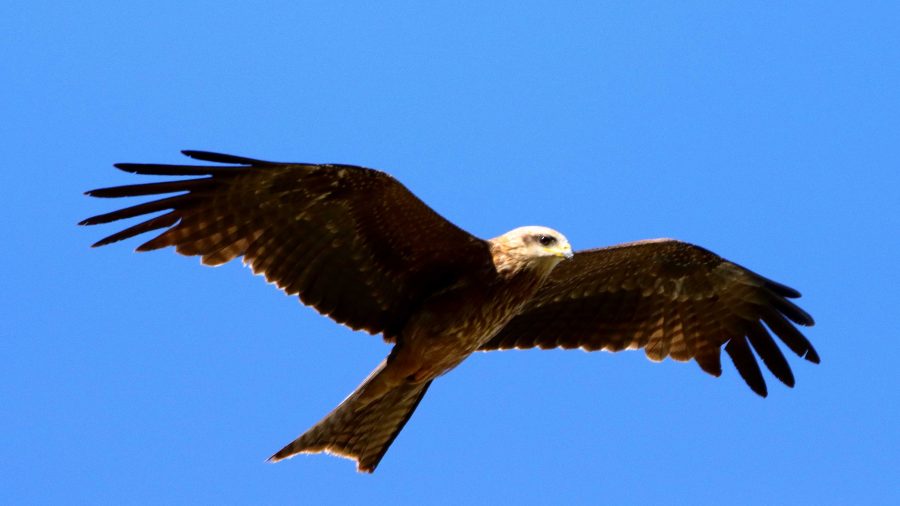
A gliding Black Kite.

All along the highway from about Blackall, roadkill was attended by birds that I thought were a type of Kite and black Crows. Once I got a photo, I was able to identify them as Black Kites. Their appearance and behaviour, such as their swooping flight and that they were in flocks. I posted about Plumed Whistling Ducks and Crested Pigeons in the previous post. So that’s it for Birds at Longreach.

We departed Longreach early to reach Winton in good time as we had a drive of about two and a half hours after Winton, to reach our overnight stop at Hughenden.
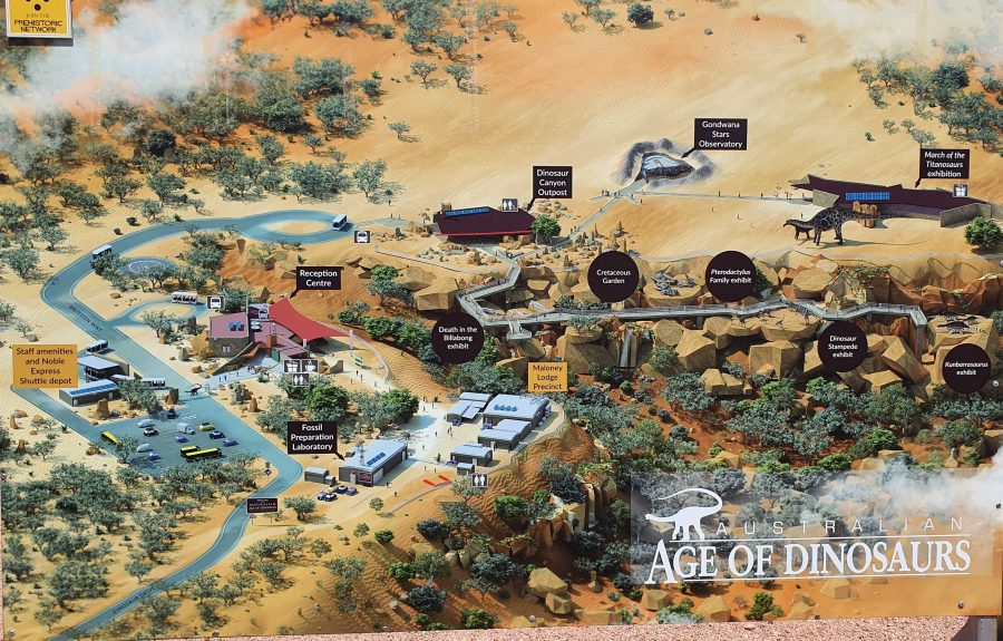
Australian Age of Dinosaurs layout. Entrance road is in the lower left hand corner.
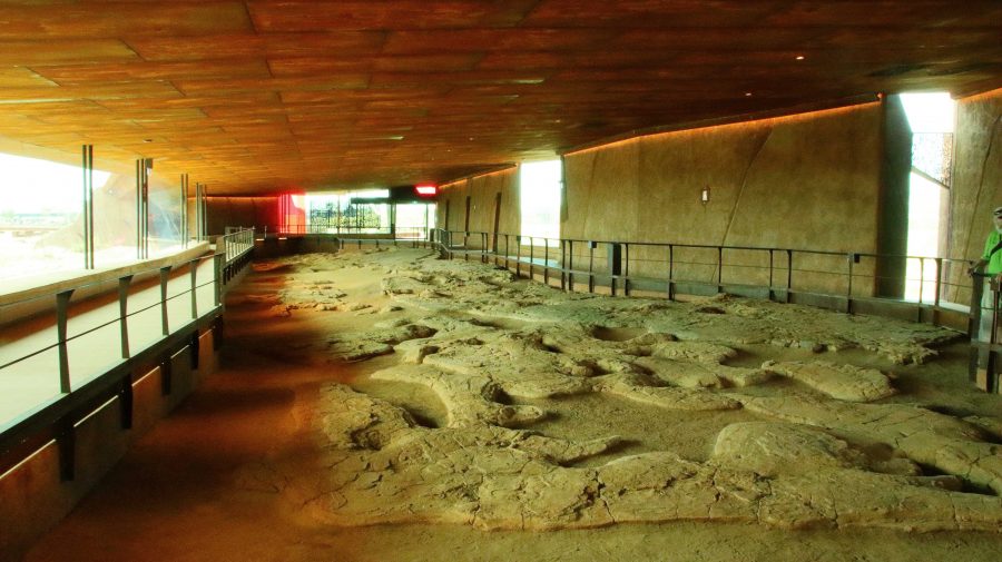
The Dinosaur footprints, recovered from swamp country and reinstalled in a temperature controlled building for display and preservation.

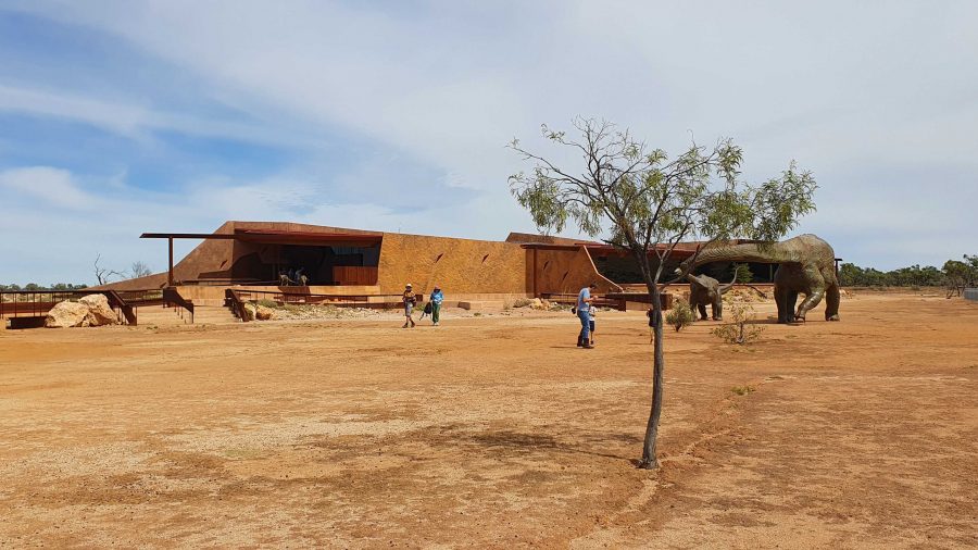
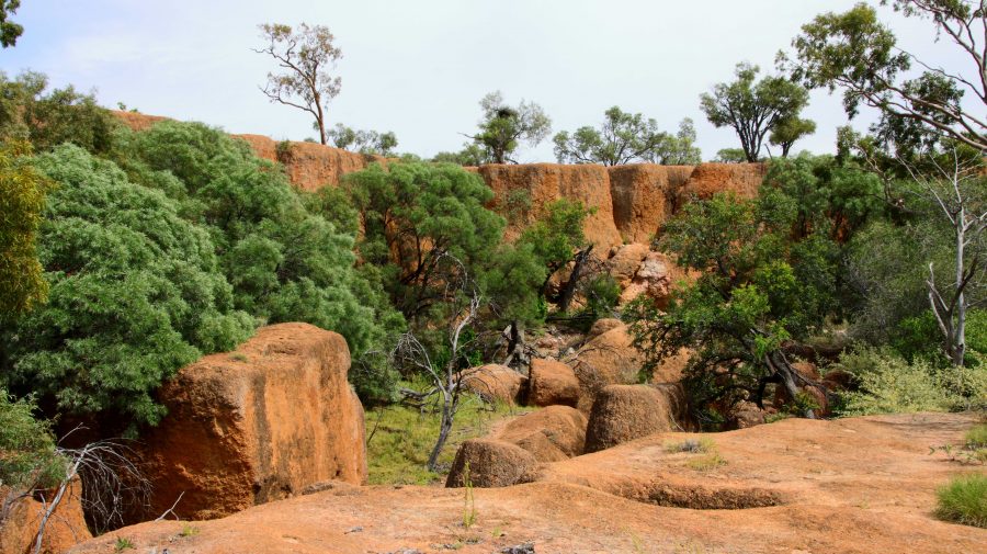
The location of The Australian Age of Dinosaurs is on the Longreach side of Winton, so that helped. Part of the success of this attraction is the brilliant sighting on top of a jump up. The top is quite flat, probably a couple of hundred metres above the grassy plains of the grazing area. Huge rocks have broken away around the edge and moved a short distance to where they have become stable. All of the buildings are on the plateau, but some displays have been built on and among those huge rocks around the plateau rim.

March of the Titanosaurs Building where the footprints are displayed.

We arrived about an hour ahead of our tour and presented ourselves at reception. We were given an earlier tour start. The session required a short trip on a shuttle to the Dinosaur Canyon Outpost. This part is relatively new. It is in a large fully enclosed building into which has been moved a large area of fossilised rock that was found in the lower country. It is part of an ancient swamp where Dinosaur footprints of various sizes have been frozen in time. The guide points out some differences between the footprints and what it is thought the creatures were doing at the time.
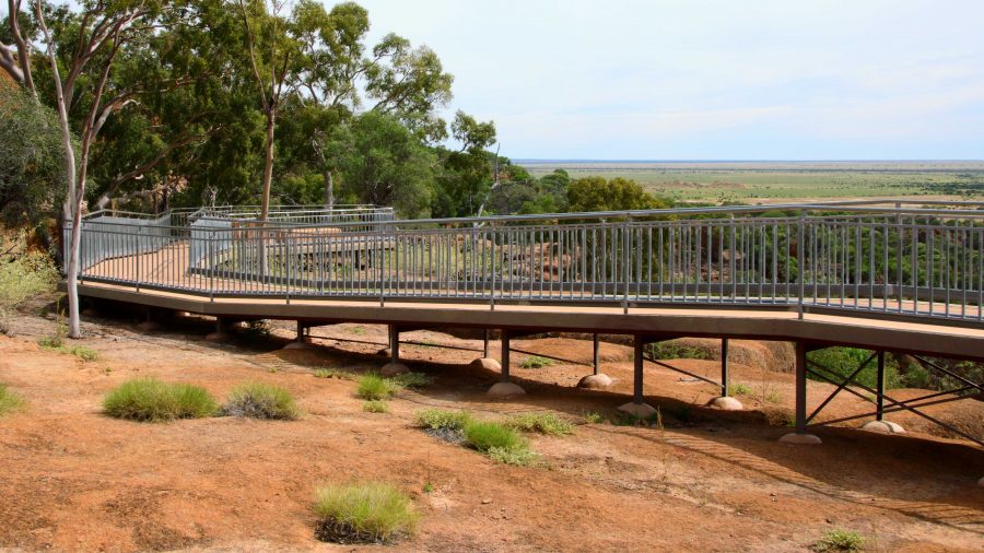
A board walk extends to the Dinosaur Canyon Walk.
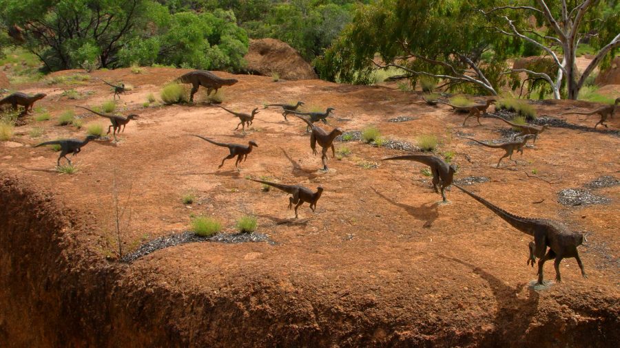
A diorama of Dinosaurs in stampede mode.
Tumbled boulders at the edge of the Jump Up.

The displays that have been built among the rocks on the side of the jump up, are in this area.

About 50 km away on the Jundah Road south of Winton is the site of the dinosaur stampede. We saw it years ago and found it to be most interesting but inconvenient to get to, because of the condition of the road. So to have this display of similar footprints so easily accessible is a great convenience.
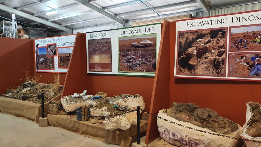
Digs, recovery of fossils and storage of fossils awaiting processing.

The next part of the tour required a drive or walk of about 500 metres to the laboratory, where the fossils are prepared for display or further research. We were taken through the detail if how digs for fossils are conducted and the fossils secured and brought back for further processing so that the item can be positively identified. Finally we watched as the workers used a variety of tools to remove foreign material without causing damage to the fossil.
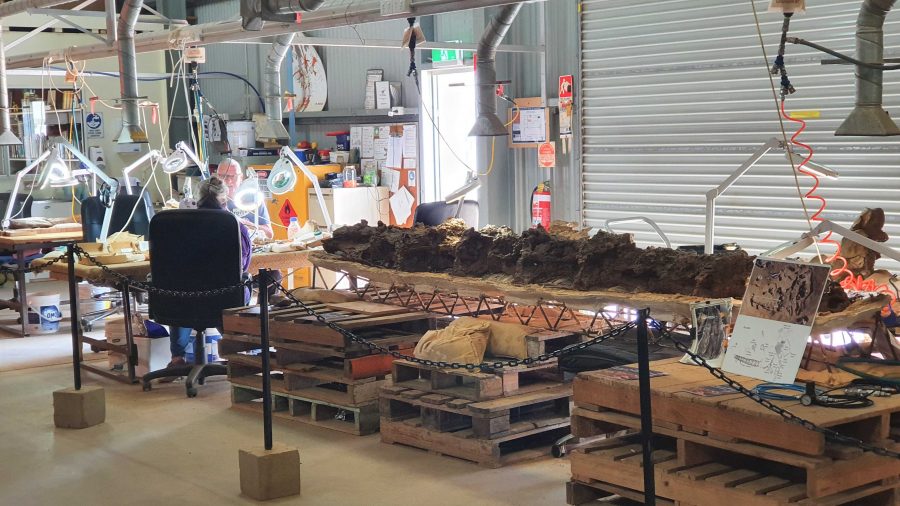
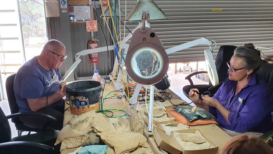
Work in progress
Two volunteers working to on fossils.
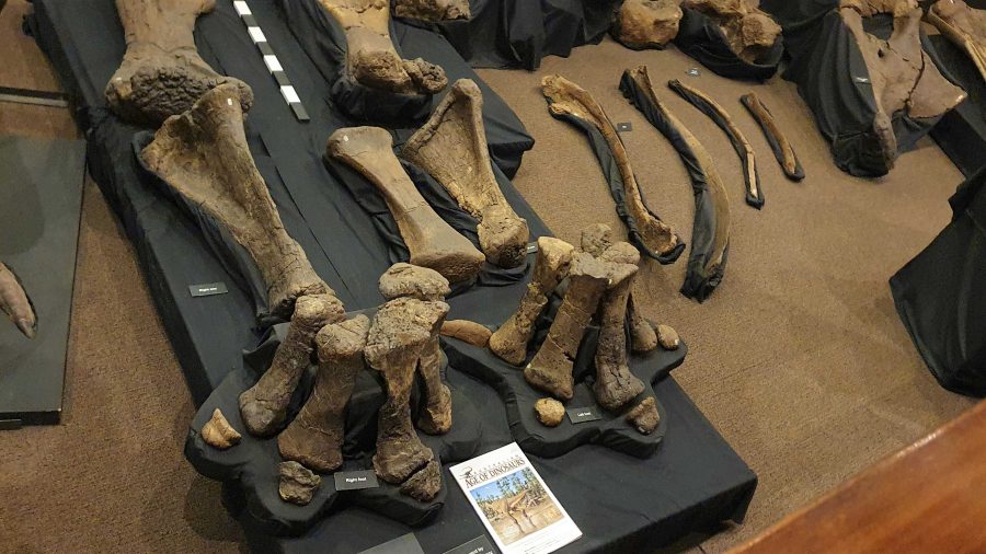
Recovered and restored fossils.

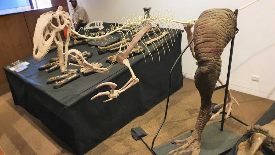
Finally, we returned to the museum at the main building for a presentation of how the finished fossils are used to recreate the original creature, or part of a creature, using genuine parts or parts fabricated to replace the missing bit. These are displayed as models, a leg for example, and in photographs or sketches. There is an interesting display of parts that don’t fit with anything else but are genuine.
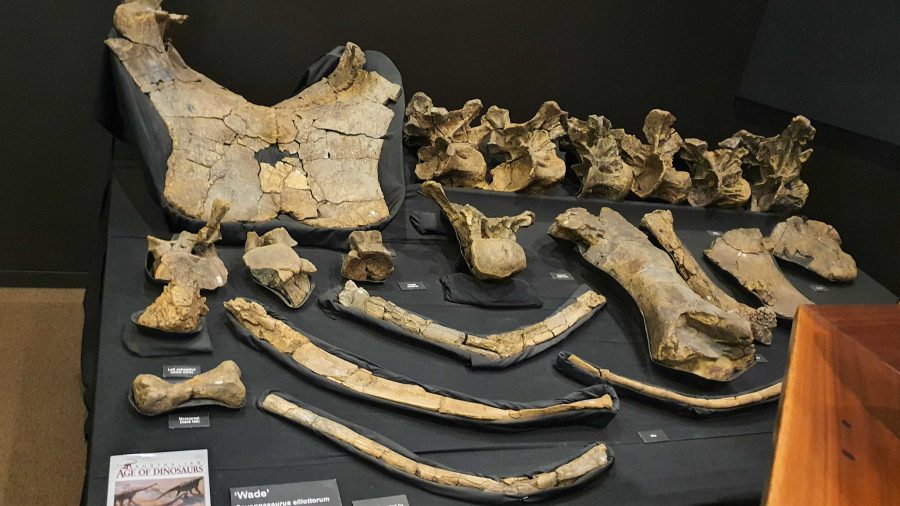
More recovered and processed fossils.
An example of the use of fossilised parts to recreate a body part,

Since the café is in the same building as the museum, we had coffee and a sandwich and drove into Winton for a petrol refill at $2.02 per litre. But that now seems cheap compared to $2.15 that I saw on a pump at Redcliffe yesterday.
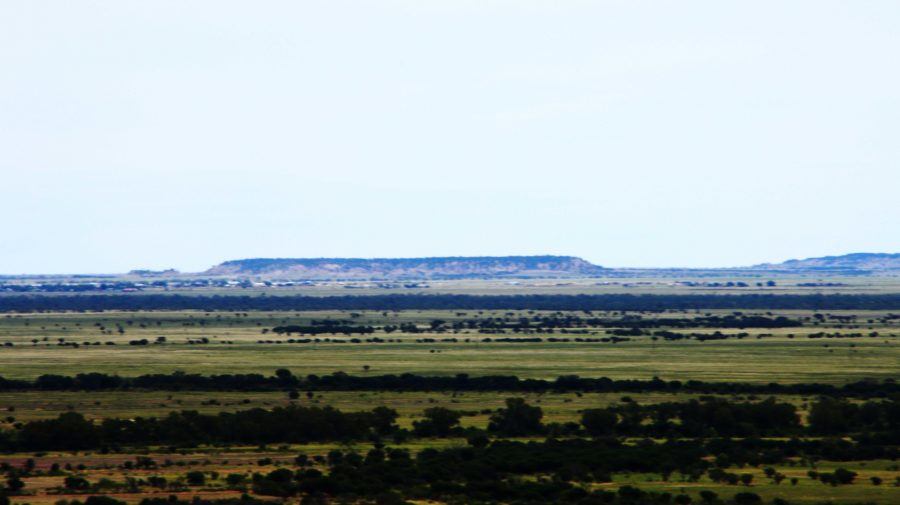
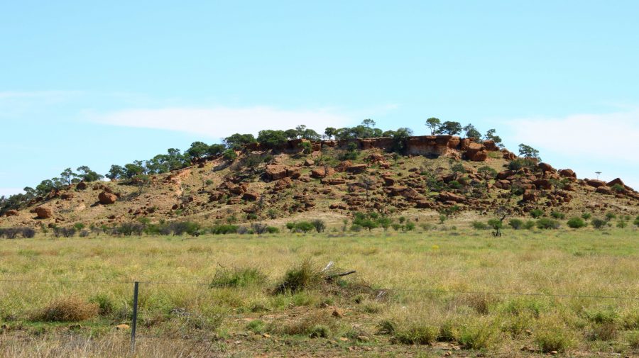
A view from the museum grounds of a distant jump up. Part of Winton about centre left, just below the skyline. The flat topped mountains are a feature of this part of Queensland.
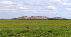
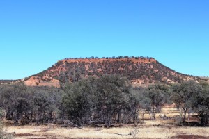
A typical small jump up or mesa in the area.
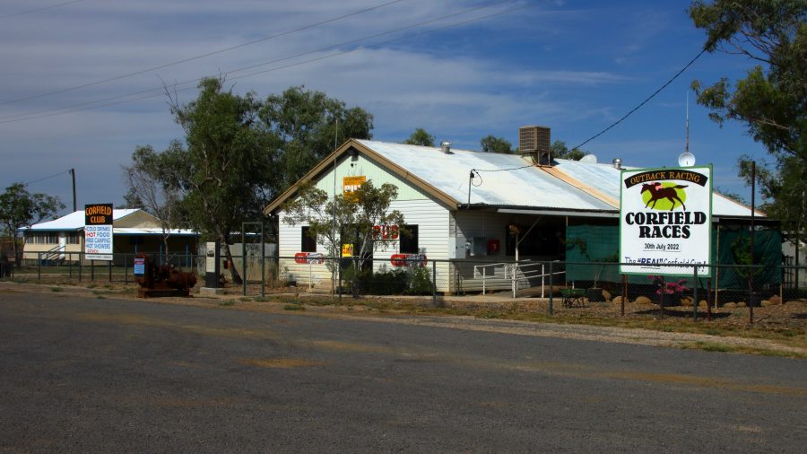
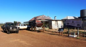
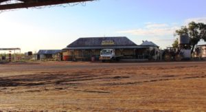
Corfield Hotel, currently closed.

The drive to Hughenden is on sealed road except for the first 15 km that is currently a dirt side track running parallel with an almost completed new road. We stopped at the tiny town of Corfield for a break. This “town” boasted a pub and racetrack. The pub is now permanently closed but I am not sure about the racetrack. They used to conduct a “Corfield Cup” but a lot of those country events were cancelled during the Covid epidemic and have not restarted.

 There are no real towns along this road, just one other notable locality, Stamford that has a school.
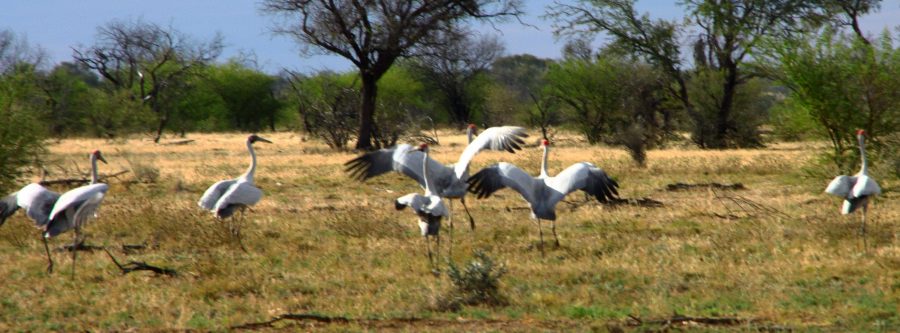
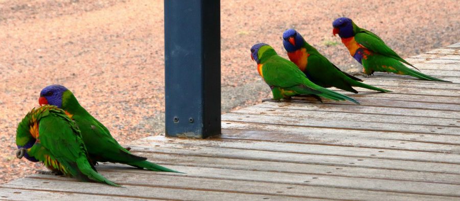
Brolga near Hughenden
Rainbow Lorikeets on our door step at Hughenden.

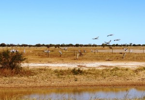
About 30 km short of Hughenden, we came across a group of Brolga. The Brolga were in a paddock about 30 km south of our destination. I was separated from the Brolgas by a 4 strand well maintained barbed wire fence, when I took some photos. They kept moving away until I reached the fence. Then they turned around and looked at me. I wonder if they knew that I could not get through the fence.

On our arrival at the caravan park in Hughenden, our doorstep was taken up by Rainbow Lorikeets being fed by a resident. Most flew away but some stayed to see if there was more food on offer.
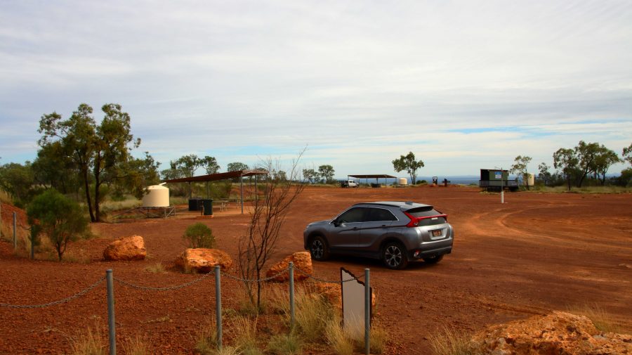
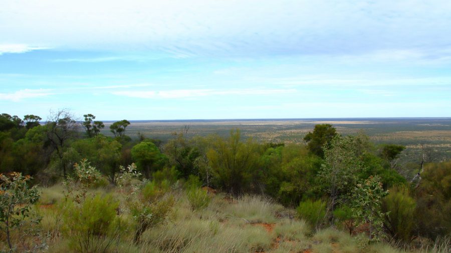
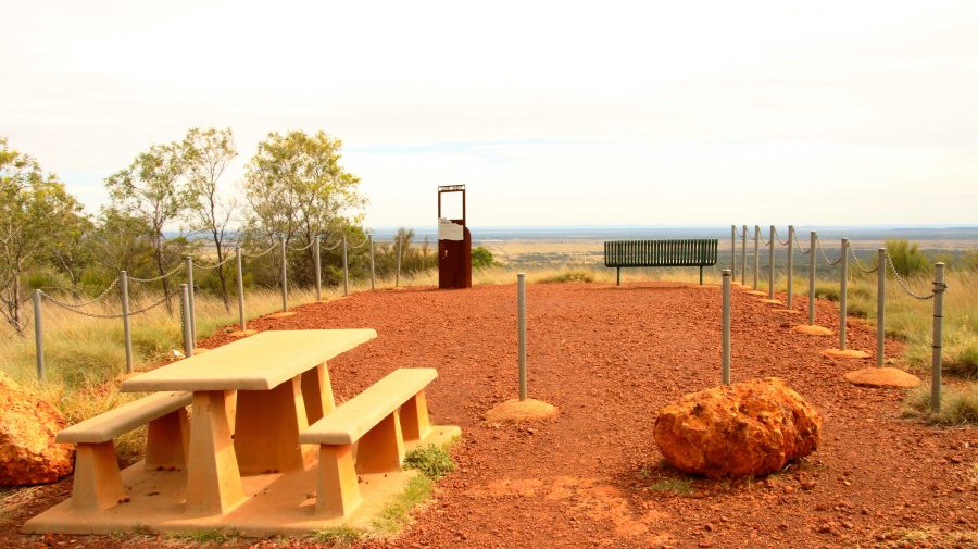
The area at the summit of Mt Walker. All lookouts are joined to the central area by gravel paths.
Lookout to the Southeast.

About 10 km south of Hughenden is Mount Walker, named in memory of the leader of an expedition to find Bourke & Wills. It is about 450 metres above sea level but stands well above the surrounding terrain. It is part of two adjoining stations, the owners of which combined with the local council to install a road and visitor facilities. There are about six lookouts that face in all directions, each one providing panoramic views. We made it our first call of the morning, before heading east.
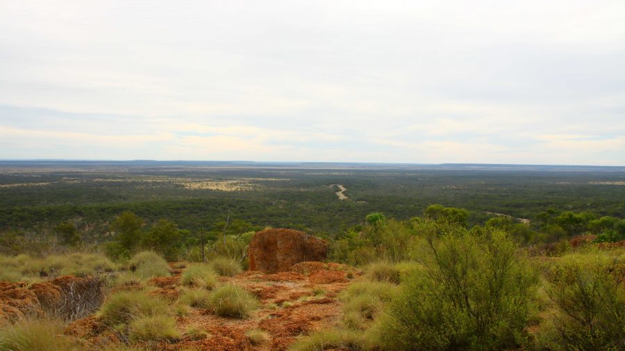
View to the Northeast. The road to Hughenden can be seen below.
Tables and seats are scattered around the area.
White Mountain National Park near Torrens Creek

There are only small towns on this stretch of road, until we reached Charters Towers with its approximately 9,000 population. We did coffee at Torrens Creek and experienced the “excitement” of a 60-truck fertiliser train passing through.
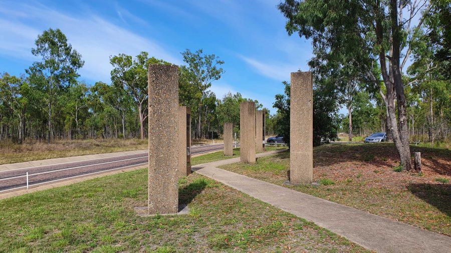
Memorial to the Completion of the Sealing of the Hervey Range Road.

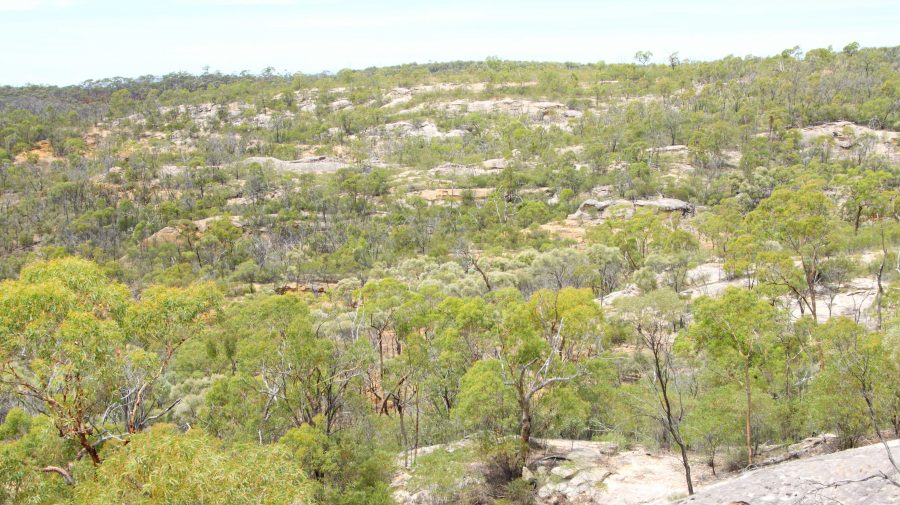
A geological feature of some note, the White Mountain National Park, is a further 30 km. You need a 4WD to get into the park but some of its signature white stone is visible from a rest stop by the highway.

We continued amid little traffic to Charters Towers, where we arrived at about 1 pm. It was pleasing to see petrol at around $1.70 per litre.

After a restful afternoon and evening, we left next morning for Townsville and the ferry terminal, but went the long way. We drove north-west on the Gregory Highway until we reached a place called Basalt, where we turned east into the Hervey Range Road. We stopped to see a memorial to the completion of sealing the road. Hervey Range Road is part of the network of “beef roads” that criss-cross Northwest Queensland. This one takes beef to the processing works at Townsville.
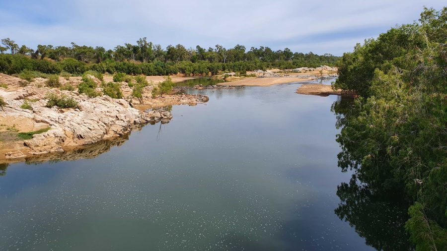
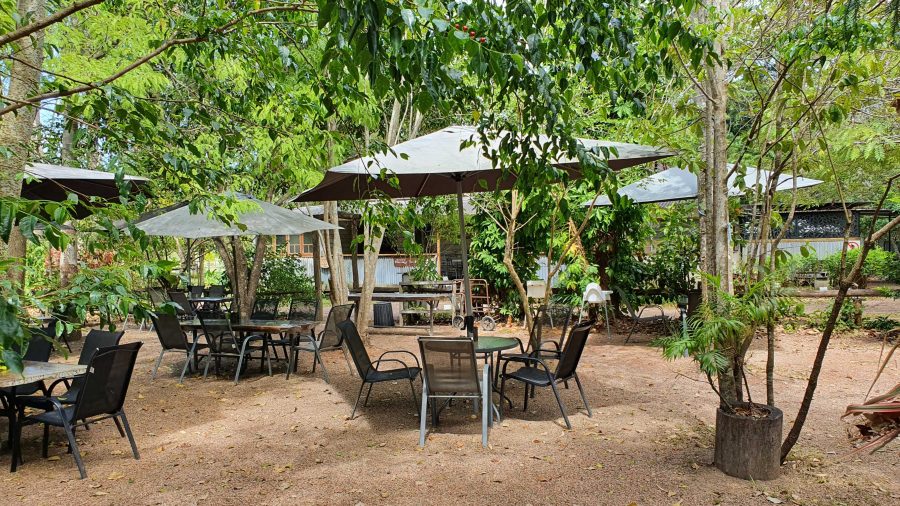
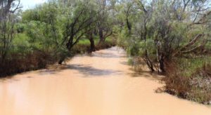
The Burdekin River upstream of the Hervey Range Road Crossing.
The Hervey Range Tea House without customers. A very present place to stop for a break, Wednesday to Sunday.
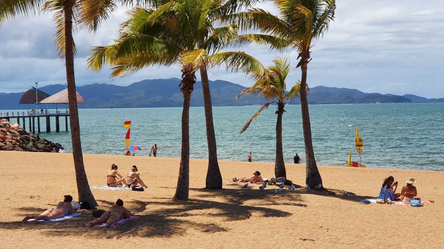
Ah! The Tropics! Beach goers relaxing on Townsville Beach.

We then crossed the Burdekin River and stopped at the Hervey Range Tea House. The day was Monday, and this is a weekend drive location for Townsville residents. The tea house is closed on Mondays and Tuesdays, but we knew that. There were no coffee stops available until we reached the suburbs of Townsville. Topped up with coffee and with some time to fil in before the departure of the ferry, we found a parking space in The Esplanade where we were able to see Magnetic Island and enjoy the beach, fresh air and sunshine. We caught our ferry with time to spare,
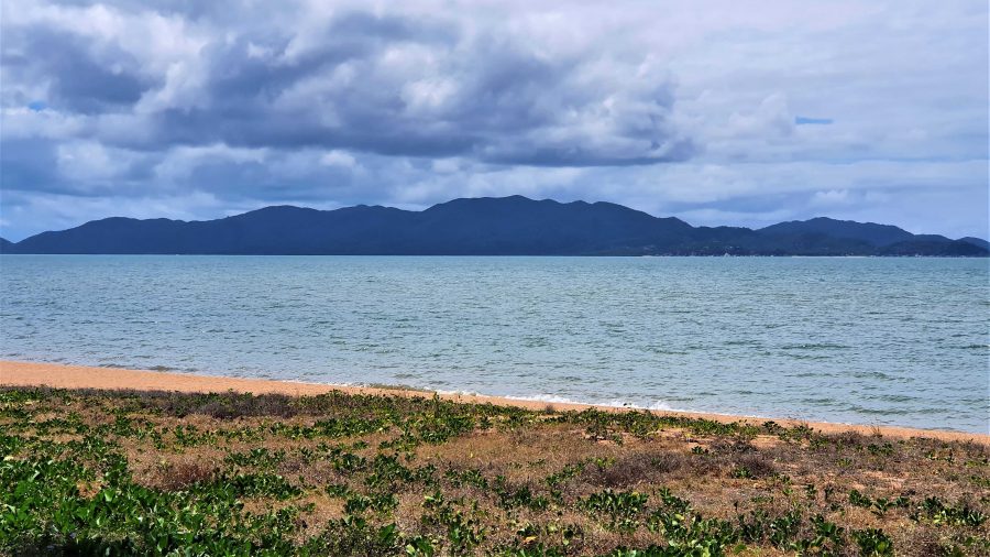
Magnetic Island from Townsville beach.

West, Centre & Flinders – Days 24 to 29 – Mt Isa and Other Things

This is the sign that welcomes you to Birdsville. We photographed it on the way out

This is the sign that welcomes you to Birdsville. We photographed it on the way out. The +/- 7000 relates to visitors at major events

The next two days were spent travelling back to Boulia, so there is not much to be said, as we were covering ground already covered in this trip. But we did take some photographs, of things that we had missed on the way down.


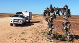
People hang the strangest things beside the road

People hang the strangest things beside the road

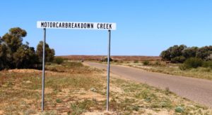
Have you ever seen such a descriptive name?

Have you ever seen such a descriptive name?

But Boulia to Mount Isa represented new fields as we had not travelled this road before.

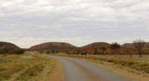
The ranges near Dajarra

The ranges near Dajarra

This part of the Diamantina Developmental Road can be best described as a single lane ribbon of tar punctuated periodically by wider stretches of pavement, officially named Passing Opportunities –  and Dajarra. Dajarra is a predominantly Aboriginal town about 140 kilometres north of Boulia. It is situated near the only decent range of hills that is encountered on the entire journey, until nearing Mount Isa.

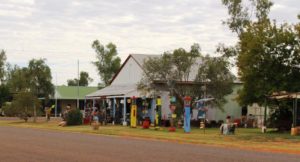
The Museum in Dajarra

The Museum in Dajarra

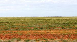
Much of the country is treeless plains of varying quality but a good portion carried good grass. Other parts are not so lush and have the appearance of not having received as much rain as pastures further south.

I mentioned in a previous post the lack of cattle grazing on the fresh grass. It appears that cattle are being trucked into the area from

Grazing lands south of Mt Isa

Grazing lands south of Mt Isa

further north. Someone to whom I spoke suggested that the cattle were sourced from the area around Catherine in Northern Territory. We camped at a rest area about 60 kilometres north of Boulia and during late afternoon and early evening saw around 10 double deck three trailer road trains, fully loaded and heading south. Just before we reached the rest area we had seen a herd of several hundred beasts that looked to have been recently unloaded.

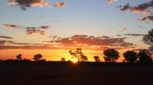
Sun sett at our Peek Creek Bore camp sight north of Boulia

Sun sett at our Peek Creek Bore camp sight north of Boulia

This stop, at Peek Creek Bore afforded us the opportunity for a second camp fire for this trip. But the fire did not produce enough quality coals to try using the camp oven.

Mount Isa is a shopping and washing stop for us. We have been here at least five times so there is not much new to see. This time we approached from the south so passed not one but two power stations that we had not seen before. Mount Isa is a substantial centre dominated by the huge mine operated by Mount Isa Mines.

One of the power stations at Mt Isa

One of the power stations at Mt Isa

The stage at the Drovers Museum. Anne Kirkpatrick, daughter of Slim Dusty, will perform here during the festival

The stage at the Drovers Museum. Anne Kirkpatrick, daughter of Slim Dusty, will perform here during the festival

This stop over was for Friday and Saturday nights, so on Sunday morning we continued north west to the border town of Camooweal. You may recall that two of our fellow dinner guests at the remote Middleton Hotel were on their way to Camooweal to assist with preparation for the annual drovers’ festival. Camooweal has a drovers’ museum which is the base for the festival. This is where we found the folk that we met at Middleton. I had told them that we would call but they were still surprised to see us.

Ruth talking to our new acquaintance at the museum

Ruth talking to our new acquaintance at the museum

The museum has the normal memorabilia but also a great deal of cattle droving related artifices, dozens of artists portraits of droving identities and several displays that tell the history of cattle droving in northern Australia. All this is supplemented by a video made of a conducted tour of the museum. We had no trouble in spending 90 minutes there before taking our leave of our new friends.

Model stock yards are used to demonstrate cattle handling techniques

Model stock yards are used to demonstrate cattle handling techniques

Cattle grazing against the background of a grey sky

Cattle grazing against the background of a grey sky

Mount Isa is in a mountainous area but is surrounded to the south, west and north by the flat sweeping plains.  The pastures through which we drove are not as green as to the south as they have not had the same amount of rain. The border between Queensland and Northern Territory is a line drawn across a featureless plain that stretches to the horizon in every direction.

This is the Barkly Tableland, that covers a large part of Northern Territory and encroaches well into North West Queensland. It is prime grazing land and produces a substantial proportion of Australia’s beef.

Some of our fellow campers at Avon Downs

Some of our fellow campers at Avon Downs

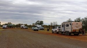
Our journeys on this Sunday has brought is to Avon Downs Rest Area, about 60 kilometres inside the NT border. Avon Downs cattle station surrounds us and the Avon Downs police station, the first in NT, is across the road. We are sharing the space with about twenty other vans, motor yard. Occasionally another road train thunders by, but less frequently as the night passes, we hope.

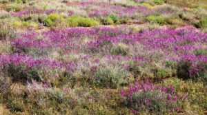
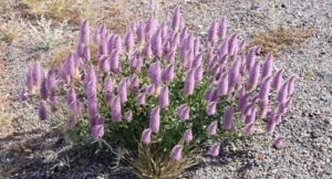
Some wild flowers along the way

Some wild flowers along the way

We had set an easy task for Monday (22nd August) with only 190 kilometres to get us to Barkly Homestead Roadhouse. Cloud started to build yesterday and there were some blustery winds during the night. Lots of blue sky this morning but it did not last. Grey skies soon set in. As we pulled in to the fuel pumps at Barkly Homestead rain spots appeared on the windscreen. Rain has been forecast throughout the area for about this time. We thought we might be far enough to the north to miss it, but no such luck.

Flowers road side at Mt Isa

Flowers road side at Mt Isa

About the most exciting things to happen to us on the drive this morning was to be passed by two road trains. As an interest, as we have crossed this part of the Barkly Tableland, Ruth has been keeping an inventory of the traffic we met. That is, east bound traffic. I will include the details in a future post. But one comment can be made. If you remove the caravans and motor homes there is not much traffic left.

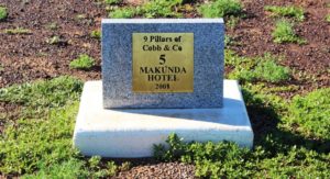
The Nine Pillars of Cobb & Co

The Nine Pillars plaque at Middleton. Under the sign on the right.

The Nine Pillars plaque at Middleton. Under the sign on the right.

To back track a bit, during our stay at the Middleton Hotel our host pointed out to us a plaque declaring his establishment to be the Fourth Pillar of Cobb & Co. When a mail contract was awarded to Cobb & Co in 1892 the Middleton Hotel was already operating, having opened in 1876. It was soon joined by others that also became horse change stations and providers of food and overnight accommodation for coach passengers. All other hotels are gone with the only relic being the chimney of the Hamilton Hotel. That hotel, well known to locals was sighted on the Hamilton River nearer to Boulia.

Makunda Hotel was where the coaches from Winton and Boulia met. No sign of the hotel remains.

Makunda Hotel was where the coaches from Winton and Boulia met. No sign of the hotel remains.

We found some of the plaques as we drove the rest of the way to Boulia. Number 1 is in Winton and Number 9 is outside the Min Min Experience at Boulia. A brochure that gives details of the old mail run, presented as a tour, is available at information centres. It includes a return route that includes the Diamantina Lakes National Park and points of interest along the Diamantina River.

West, Centre & Flinders – Days 18 to 19 – Further West

It is not easy to predict the movements of the travelling public. On our first night at the Longreach Tourist Park the place was near to full. After we arrived, about mid-afternoon, the vans flooded in and flooded out again next morning. But on the second night

Sweeping plains near Winton

Sweeping plains near Winton

occupancy would have been no more than 40%. Perhaps folk had been in to complete the census. Forms were available at the office. We opted to complete it on line and couldn’t even log in. Perhaps we will try again at Alice Springs.

We left Longreach at the start of Day 18 driving towards Winton, about 180 kilometres to the North West.

North Gregory Hotel where legend has it Waltzing Matilda was first performed

North Gregory Hotel where legend has it Waltzing Matilda was first performed

Winton has always been a prosperous place but the drought has taken its toll. There are several empty shops in the main street. But the pubs continue to thrive. The Tattersals’  hotel that occupies a corner had about 20 tables set up for lunch on the pavement and more inside. Many caravans and their towing vehicles were parked in the street. Winton must be a favored lunch stop among grey nomads.

The vacant space was once occupied by The Waltzing Matilda Centre

The vacant space was once occupied by The Waltzing Matilda Centre

As some of you will know, Winton lost its famous Waltzing Matilda Centre to fire a year or so ago. That was a serious blow to the town. But they have bounced back with a new museum called the Qantilda Museum. It is much smaller, as a great deal of history was lost in the fire, but deals with Winton’s two main claims to fame. Winton  is the birth place of Qantas Airways and Waltzing Matilda was written by Banjo Patterson at Dagworth Station to the north of Winton and was first performed in public at Winton’s North Gregory Hotel.
Self explanatory!

Self explanatory!

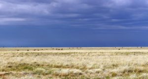
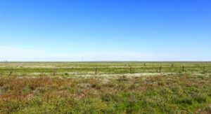
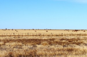
The “sweeping plains” continue to Winton and beyond. Green as far as the eye can see.  But in most of the pasture there are no cattle eating the lush grass. Drought plays havoc with stocking density and it takes a long time to rebuild a production herd.


The first real jump up on the way to Middleton

The first real jump up on the way to Middleton

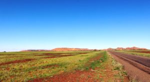
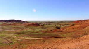
When we came this way last year on our way to The Centre, I said that the road from Winton to Boulia was one of the most attractive outback drives in Queensland and having done it a second time I have not changed my mind. Along the first section, until just past the multiple channels of the Diamantina River, the terrain is fairly flat. Some areas are so green with lush growth that they look like a planted crop. Then  Mount  Booka Booka appears to the left of the road. From there, for the next hundred kilometres or so, the road passes through the Sword Range which is mostly a series of jump ups, or mesas, with their defining crowns of red rock and slopes clad with small bushy vegetation of brilliant green.
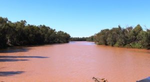
A main channel of the Diamantina River almost full of water

A main channel of the Diamantina River almost full of water

Last time through we did Winton to Boulia, a distance of 360 kilometres, in a day. This time, having started the day at Longreach we have broken our journey at the lonely road side pub at Middleton. There was a town of Middleton but it is long gone and only the 130 year old hotel remains. Free camping is available over the road. Most who use the area express their appreciation by patronising the hotel.

Middleton Hotel

Middleton Hotel

We went over for a drink after setting up and then later, went back for dinner. Dinner guests included a couple from Taroom in Queensland on their way to Camooweal to help run the annual drovers festival. An other couple have just travelled the Birdsville Track and were able to give us some good information on road conditions.

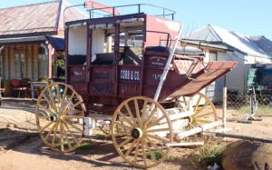
An old Cobb & Co coach stands outside the Middleton Hotel

An old Cobb & Co coach stands outside the Middleton Hotel

The Middleton Pub is over 130 years old. The area was first explored by John McKinley who was leading a group searching for lost explorers Bourke and Wills. W Middleton was second in command. The area when opened shortly afterwards was named Middleton in his honour.

The publican and his wife are elderly but are assisted by younger family members. They were most welcoming. The menu was surprisingly extensive but we chose the “house” meal of corned beef with potato, cabbage and white sauce. The serving was generous. The facilities were basic with outside toilets and showers constructed of corrugated iron. The plumbing for the shower looked like a plumber’s nightmare but the rusty shower head was large and hot water cascaded out.

We went to sleep to the gentle lowing of cattle in a yard behind the hotel, probably waiting for a truck to take them to market.

Approaching Cawnapore Lookout

Approaching Cawnapore Lookout

The overnight stay at Middleton produced an unexpected bonus. Soon after leaving Middleton, jump ups start to appear on the horizon. The road turned towards them and as we drew closer the morning sun illuminated the red stone caps and eroded upper reaches turning them to shades of deep red. The green vegetation that clings to the slopes takes on a brilliancy that makes it look painted on.

A path for the fitter leads to the summit if the Cawnpore jumpup

A path for the fitter leads to the summit if the Cawnpore jump up

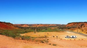
A picnic shelter marks Cawnpore Lookout, a vantage point that stands above a cutting through the hills. To reach it you must scramble up a steep gravel path but the effort is well worth while. The views through 360 degrees are stunning. Those fitter than I can follow a path that leads to the very top of the jump up for even better views, I imagine.  Accompanying photos illustrate.

A view from the lookout

A view from the lookout

From here the dramatic hills reduce in frequency. The final 80 kilometres or so into Boulia returns to endless green planes with scattered trees. The only dense vegetation lines the many water ways, most of which retain some of the recent rain.


Car and van from the lookout and hills to the west

Car and van from the lookout and hills to the west

The Min Min Centre in Boulia

The Min Min Centre in Boulia

We have reached Boulia and are in the caravan park, with the Bourke River only a few metres from the back of our van. Boulia is a small service town at the junction of Kennedy and Diamantina Developmental Roads. The Donohue Highway that leads to Alice Springs via the Plenty Highway branches off just out of town. The town has museum displays of dinosaur fossils and other items relating to the past when where Boulia stands was part of an inland sea. It also has the Min Min Experience, an animated show that tells of the mysterious Min Min Lights.

A full Bourke River at Boulia.

A full Bourke River at Boulia.

Weather has been brilliant. Morning temperatures have been around 10 C with day temperatures in the mid twenties. We experienced some cloud and a few spots of rain on the windscreen as we approached Middleton, but by evening the stars shone from a cloudless sky. But we have had some chilly breezes from east to south west, but they are easy to avoid or you put on something warmer.

Tomorrow we head south for Bedourie and Birdsville.


A Changed Itinerary – Part 1

As we listened to the patter of the rain on the roof of our van, we were aware that it was washing away our immediate plans. We have been caught before by the inability of the Department of Meteorology to predict conditions west of Toowoomba. Its predicted 5 mm of rain became 25 mm a couple of years ago and we were left wallowing in the mud of the Dowling Track. History was repeating its self.

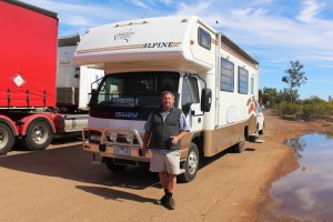
Graeme and his motor home

Graeme and his motor home

The next day, on our way to Windorah, we experienced again firsthand what an inch of rain can do in this area. We had made the acquaintance by two way radio of another traveler, this one in a Winnebago motor home and had agreed to stop for lunch at the same place so that we could have a face to face chat. I chose the site of yesterday’s afternoon tea stop, but when I turned in to the proposed stopping place our wheels started to sink in the mud that had, two days earlier, been a firm parking area. New acquaintance saw what was happening and pulled off to the other side of the road and sank to his axles in even worse mud. A quick selection of 4WD had saved us. He didn’t have that option.

But we were lucky. A couple headed for the Simpson Desert, equipped with a winch, came along, so with them winching and me in the Suzuki that he was towing, giving a push, we got the motor home back into the black top. We moved a bit further along to firm ground and discovered that Graeme is travelling alone while his wife is in England. He asked if he could tag along and he stayed behind us until our paths diverged at lunch time the following day.

From the information center at Windorah and from talking to passing motorists on the two way radio, we learned that the Birdsville Developmental Road was a mess and would not be suitable for us to drive on for several days, so we turned north, spending the night in the caravan park at the Jundah Hotel, and then on to Winton. Graeme left us at Longreach.

Farmed camels near Winton

Farmed camels near Winton

The drive from Winton to Boulia is along the first part of the Min Min Byway. Boulia has built a tourist industry on the phenomenon of the Min Min Lights, unexplained lights that some people claim to have seen at night as they have travelled the road. But since most people travel the road by day, reported sightings are rare.

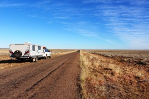
Our rig beside the long road

Our rig beside the long road just west of Winton

To travel this road at night would be a grave mistake as it is one of the prettiest outback drives in Australia. The first part is fairly ordinary with open grass country on the higher ground and scrubby trees in the gullies, but after crossing the extensive flood plains of the Diamantina River, the road plunges into a series of mountain ranges of the “jump up” or mesa variety.

One of the many channels of the Diamintina

One of the many channels of the Diamintina

These are the hills that are capped with mini precipices of red sandstone from which the slopes covered with rough green grass or stunted vegetation, descend to tree clad lower slopes and gullies. The

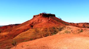
A typical jump up or mesa

A typical jump up or mesa

sandstone caps weather into some interesting shapes such as the one that stands above the Castle Hill Rest Area. At the western end of the series of ranges a picnic shelter has been built on hill top that provides panoramic views along the valley through which the road passes.

The isolated Middleton Hotel

The isolated Middleton Hotel

There are other things of interest along the way.  About half way stands the Middleton Hotel, not so named because it is half way but after an explorer who passed the spot many years before this rather elderly building was built. It is a favorite lunch stop. Perhaps that explains the Min Min Lights.

Brolgas by the road

Brolgas by the road

Not far out of Boulia we stopped at a rest stop that marks the site of the long demolished Hamilton Hotel. There we received a tip to look out for brolgas at a creek beside the road. There were dozens of them in clear view. As I walked towards them for a picture they moved away, many of them performing the sort of flying dance for which they are noted.

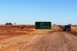
The start of the Donohue Highway

The start of the Donohue Highway

After a night in Boulia we took on the Donohue Highway that runs west to the Northern Territory border and there becomes the Plenty Highway. These highways are our first long run on dirt roads.

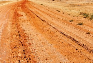
Wheel tracks from recent rain

Wheel tracks from recent rain

Combined they extend a about 750 km across the southern end of the Barkley Tableland. We knew that the road had been affected by the rain and were warned to watch for wheel tracks. The road was quite badly damaged on the west bound side but surprisingly good on the east bound side. So we pretended to be driving in the USA, returning to the correct side for approaching traffic, when we reached crests or when the consensus tracks changed sides.

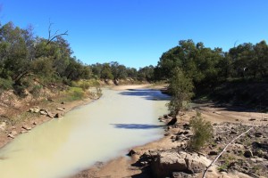
A waterhole in the Georgia River

A waterhole in the Georgia River

The main feature of this drive through far western Queensland is crossing the Georgia River. When the wet season, often augmented by a cyclone, dumps large quantities of rain south of the Gulf of Carpentaria a large proportion of the water flows down both the Georgia and Diamantina Rivers. In a wet year the flood waters reach, not directly but by various means, the vast expanse of salt pans that is Lake Eyre. The flood plains associated with these rivers are vast. It is probably not possible to visualise the sight of them in full flood without actually having seen them.

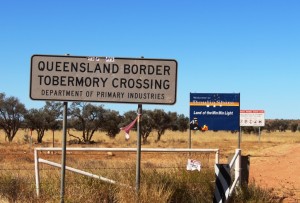
The Qld/NT border

The Qld/NT border

Our destination for the day was Tobermorey Station. It is located 250 km west of Boulia and just 4 km past the Queensland /NT border. We parked the van on grass in a camping area that we almost had to ourselves. We wound our watches back by 30 minutes and I prepared myself for a restful couple of hours, but I was wrong!


Here is the video. It covers this post and the next one too.

https://www.youtube.com/edit?o=U&video_id=czHbkrloHVc

A Short Northern Safari – The Last of the Dinosaurs & Rivers Through Parched Lands

Australian Age of Dinosaus sign at the Dinosaur museum and laboratory

Australian Age of Dinosaurs sign at the Dinosaur museum and laboratory

We made an early start from Porcupine Gorge. Squally winds had roared through the trees all night so we were awake early and took advantage of the situation. The road back to Hughenden was a downhill run most of the way assisted by a brisk following wind. Refuelling in Hughenden took only a few minutes and we departed this pleasant town for Winton, the remaining corner of the Dinosaur Triangle. From Hughenden it is a run of 212 kilometres over flat grazing land on a single lane sealed road with some wider passing sections. We made two stops, the second of them at a place called Corfield pronounced the same as Caulfield in Victoria. And like its differently spelled namesake it runs, annually, a race meeting with – you guessed it – a Corfield Cup. The town contains a pub, two houses, a rest stop and, of course, a race track.

We had spent time at Winton in 2009 during our Big Lap and although there are still things that we want to do they could not be fitted into this trip. However, we did fill one gap by dining in Banjo’s Bar where the park offers a nightly three course dinner and then enjoyed the entertainment of Suzie the resident comedian bush poet. A great night’s entertainment provided by a very funny lady.

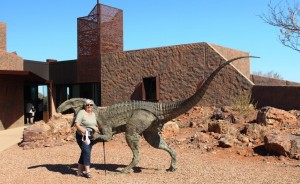
Ruth meets a dinosaur

Ruth meets a dinosaur

The third corner of the Dinosaur Triangle is provided in part by the Australian Age of Dinosaur Centre located about 20 kilometres out of Winton. The other dinosaur highlight is Lark Quarry, the sight of the dinosaur stampede. But we saw that in 2009 and a repeat was not a possibility, or of interest for that matter. The turn to the Age of Dinosaur is on top of a mesa, or jump up, just 13 kilometres on the road to Longreach. Gravel starts immediately you leave the highway, so we followed the dusty road across the flat lands and up the jump up to the very adequate parking area. The facility was quite new and very modern. There is a shop, coffee shop and display at this sight. About 500 metres away there is a laboratory where restoration work is done.

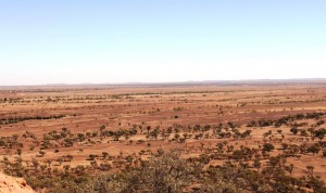
Pastures toward Winton viewed from the dinosaur centre

Pastures toward Winton viewed from the dinosaur centre

The tour covers both locations but takes about 90 minutes and costs $28 each for seniors. This tested the level of our interest in pre-historic creatures. Coffee and cake won out. After partaking we returned to the low lands and made our way to Longreach. It is an easy drive. The road is reasonably wide and quite flat, although we initially climbed slowly from the Diamantina and then descended to the Thomson.

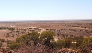
The road from the highway to the "Jump Up"

The road from the highway to the “Jump Up”

At a couple of locations quality facilities have been provided including regularly maintained toilets, spacious picnic shelters and enough space for overnight campers to keep out of each others hair. We arrived to find the caravan park in which we had  stayed last time greatly enlarged. We had a site with the caravan between ourselves and the sun. This was most welcome as the temperature was around the mid 30s by mid-afternoon.

Goos water levels in the Thompson River at Longreach

Good water levels in the Thomson River at Longreach

Our original intention had been to continue along the Landsborough Highway until it became the Capricorn Highway at Barcauldine. From there we had intended to visit the gem fields of Sapphire and Rubyvale before turning for home. But back along the road a bit we had changed our minds and decided to continue south. Well, south west actually. So on departure next morning, after a brief shopping excursion, we called to look at the well known, among its adherents, free camping area beside the Thomson River.

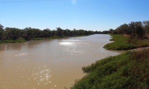
We found a few vans in a spacious area beside a river that contained much more water than we had expected. This is, of course, one of the wonders of the main waterways in the Channel Country. They have an ability to hold large pools of water for very long periods during hot weather.

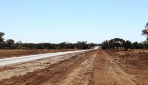
Only one sealed lane but wilh well maintained shoulders

Only one sealed lane but with well maintained shoulders

The Longreach Windorah Road follows the Thomson River between these towns, although most of the journey the river is out of sight. This is grazing country, mostly cattle but with some sheep for wool and meat production. The road is mostly unfenced and there are numerous cattle grids across the road. We saw some stock but not much as conditions are dry out there and areas of pasture are rested regularly and for long periods, so the stock could be somewhere else on the property. Of the 314 kilometres length of this road, most runs through the Barcoo Shire. This remote municipality of just 460 people covers 62,000 km2. The Thomson River runs through its length and is joined by the Barcoo in the south. Jointly they become Cooper Creek which flows, sometimes, into Lake Eyre.

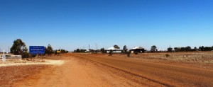
Stonehenge - the entrance to and a large part of the town

Stonehenge – the entrance to and a large part of the town

We paused for morning tea at the roadside and then continued to the mini town of Stonehenge. This tiny community of about 100 people has, of course, a pub but no store, and it has a caravan park. The council has installed power heads, an amenities block with toilets, showers and a washing machine. Visitors may stay by paying, by an honesty system, $10 per night.

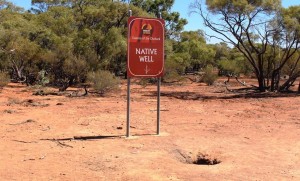
Long term Indigenous water supply

Long term Indigenous water supply

Soon after leaving Stonehenge the road rose steeply and levelled to a plateau. There, by the side of the road, is a well that indigenous people used as a water supply for who knows how long. Water is visible about 25 cm below the ground.

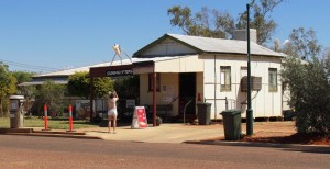
Jundah Store with unknown photographer

Jundah Store with unknown photographer

All passengers need a drink

All passengers need a drink

The next town is along this road is Jundah, the adinistrative centre of the Shire. It has about the same population as Stonehenge but appears to be a bit more substantial. It has a small store but no obvious fuel supply. There is a school and a police station. A small caravan park operates providing an alternative to the free camping areas on the banks of the Thomson. Beside the park, which is also the war memorial, the council has built a quality amenities block for the use of campers and other members of the travelling public.

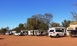
Vans at Windorah. Most are bound for Birdsville races.

Vans at Windorah. Most are bound for Birdsville races.

The road crosses the Thomson River at Jundah and continues through flat riverplains until the Diamantina Developmental Road is reached just east of Windorah. Which, of course, brings us to  the third of the three towns that comprise the urban areas of the Barcoo Shire.

The road out of Windorah to Birdsville. There is 388 Km of it.

The road out of Windorah to Birdsville. There is 388 Km of it.

Windorah is the last town before Birdsville which is 388 kilometres further along the Diamantina Develpmental Road and the Birdsville Developmental Road. The greater part of the 200 kilometres of the Birdsville Developmental Road is sand, dirt and gravel. Consequently Windorah has businesses that offer succor to both traveller and vehicle. Long term blog readers will remember our failed attempt to reach Birdsville via the Birdsville Track in 2011 when we were thwarted by rain. We have not had the opportunity to try again so you can imagine my feelings as I gazed along that part of the road out of town that I could see from the gate of the caravan park.

The caravan park is operated by the council and it is another low cost park. Just turn up and sellect a site and a council employee will find you and collect $10 per van or tent. The amenitius were solid but very useable. Surprisingly it was possible to produce a lather under the shower. Our visit coincided with the annual pilgrimage to the Birdsville cup. Most of our fellow campers were headed there together with most of the several hundred vehicles that we met as we travelled east over the next couple of days. We heard estimates of 8,000 to 10,000 revellers at Birdsville for the Cup. In a town with a permanent population of less than 300 this is not the time of the year that I would want to visit.

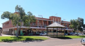
Windorah Hotel with parking meters

Windorah Hotel with parking meters

Windorah does not look to be a prosperous town but it must be. Every person who passes through spends money there. Most vehicles would need to refuel and many would top up supplies. The hotel offers rooms and cabins and there is another establishment that offers cabin accommodation.

Windorah shop with fuel pumps

Windorah shop with fuel pumps

The normal flow of travellers south on the Birdsville Track and west over the Simpson Desert grows annually. In addition, increasing numbers are travelling this way to the Red Centre through Windorah to Bedourie and Boulia and then over the Donohue and Plenty Highways to Alice Springs. Councils, understanding the value of the tourist dollar, are putting more effort into road maintenance which means more regular grading. The dust is much easier to take if it doesn’t have bumps under it.

Windorah has a handy information centre

Windorah has a handy information centre

We were were much impressed by the effort by the Barcoo Council to encourage tourism. Not only are the caravan parks inexpensive, adequate and well maintained but the roads are in much better condition than in the neighbouring shires of Longreach and Quilpie. The quality of the roads literally change at the boundary. Barcoo puts great effort into keeping the shoulders graded with soil packed right to the edge of the single lane sealed strip. This reduces the risk of damage to tyres significantly.The only thing missing from the three Barcoo towns that would be useful is mobile phone coverage. With this service available we would return and spend a while. The camping places along the Thomson and Cooper looked quite attractive.

This was to have been the last blog in this series but I have too much material that won’t fit in. So watch out for the final part of the story as we share our trip home from Windorah.