The rain actually amounted to quite a lot. It started with sprinkles during the afternoon and intensified during the evening. Come Tuesday morning the sky was still black, with periods of heavy rain. So we decided to stay put at Barkly Homestead and paid for another night.
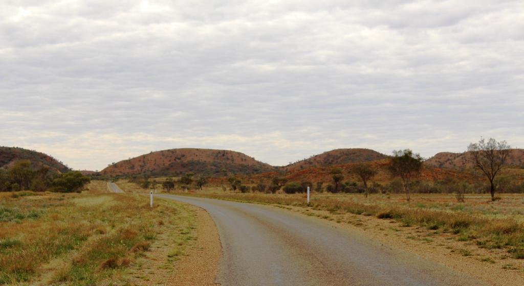
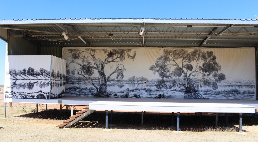
The broad plains of the Barkly Tableland
Before the rain came we were considering our options. If we are to continue to Alice Springs our arrival will be greeted by a number of mornings with lowest temperatures of 2 to 4 degrees C. To turn north to Cape Crawford and Borroloola would see us with top temperatures of about 34 to 36 degrees C. To be hot or cold became the question.
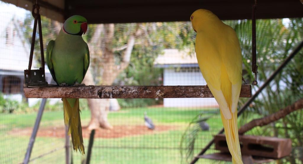
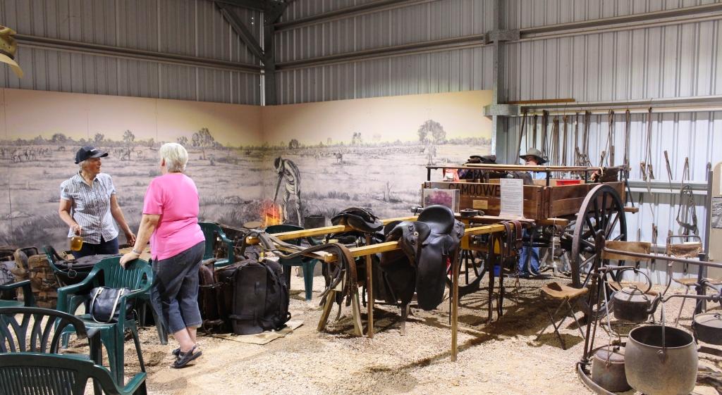
Caged birds on display at Barkly Homestead
But the rain changed the equation completely. The Tablelands Highway, that leads north from Barkly, is a single lane sealed road that carries many road trains. When you meet a road train on such roads it is necessary to pull right off the road to leave the sealed road clear. I didn’t fancy pulling off on to rain soaked shoulders, so Alice Springs and cold mornings, here we come!

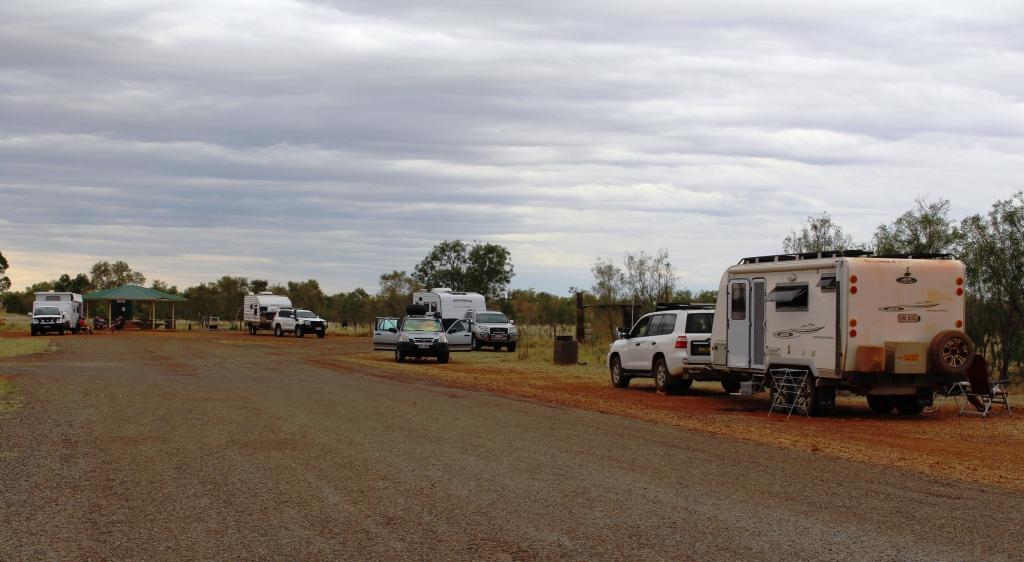
Caravan parking layout at Barkly Homestead
Spending a day at Barkly Homestead has been quite pleasant. A few vans had declared a lay day. We have carried out a few chores but mainly sat and read. The caravan park here is designed for one night stopovers with vans remaining hooked up to tow vehicles. The grounds are laid out in a series of parking lanes separated by a raised gravel area and with a section of artificial grass placed to be directly outside of the door of the van. This provides a refuge from the inevitable mud that occurs whenever the rains descend in torrents, as they tend to do in this part of Australia.
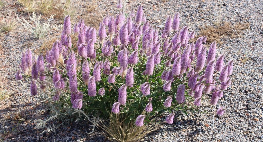
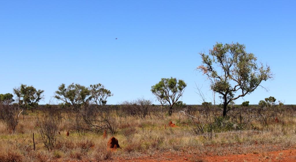
Wednesday dawned with some cloud to the west but it soon cleared to a cloudless warm day. I enjoy driving the Barkly Highway. It is one of the best quality country highways in Australia. The tablelands change from flat to undulating and back to flat again, with open grassland changing to low wooded scrub land. Sprinkled through the scrubby vegetation are eucalypts with white boughs (Ghost gums, I believe) that branch a couple of metres above the ground, producing trees that seem to have been designed for climbing.
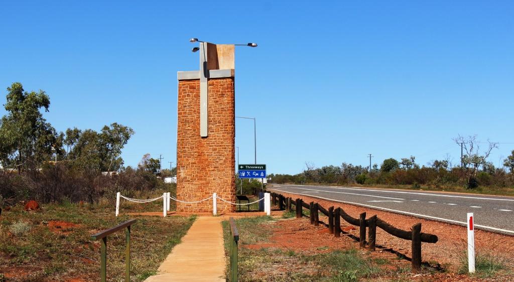
The memorial to Rev. John Flynn beside the Stuart Highway at Three Ways north of Tennant Creek
We turned south at Three Ways, where the Barkly Highway intersects with the Stuart Highway, but first we made the 200 metre journey north to visit the pillar built in memory of Rev. John Flynn, founder of the Royal Flying Doctor Service. It stands prominently beside the highway.
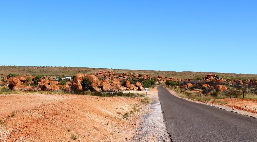
Approaching the Marbles from the North
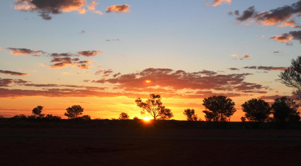
Out destination for the day was the camping reserve at the Devils Marbles. We set up for the night, before taking a long stroll around and among these amazing boulders with their endless variety of shapes and sizes. The information displays at the day use area inform us that the boulders are slowly breaking down and become rounded as they shed their “skin”, a bit like peeling an onion. As the day ended, I found a large slab of rock like a ramp and was able to walk to an elevated level to watch the sun disappear for the day.
So we woke to the sun shining on the pile of rocks that comprised our private view, before packing and setting off to Alice Springs. The morning was cold but the day quickly warmed. Again, clear blue sky with a few scattered clouds, as we approached our destination.
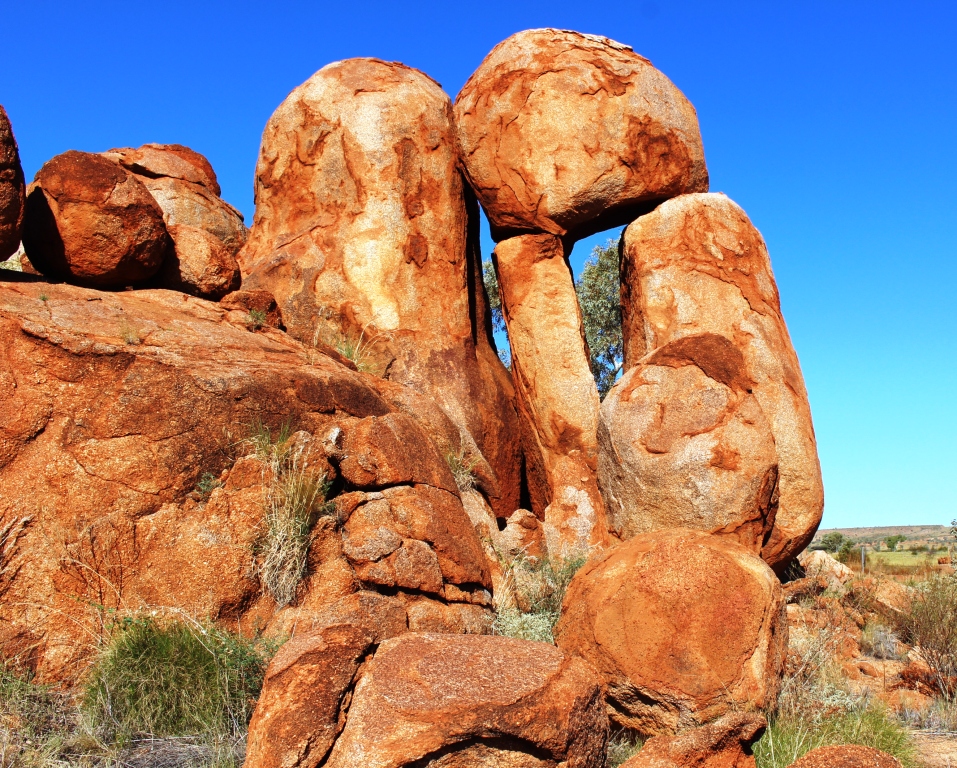
Strange balancing arrangements are common
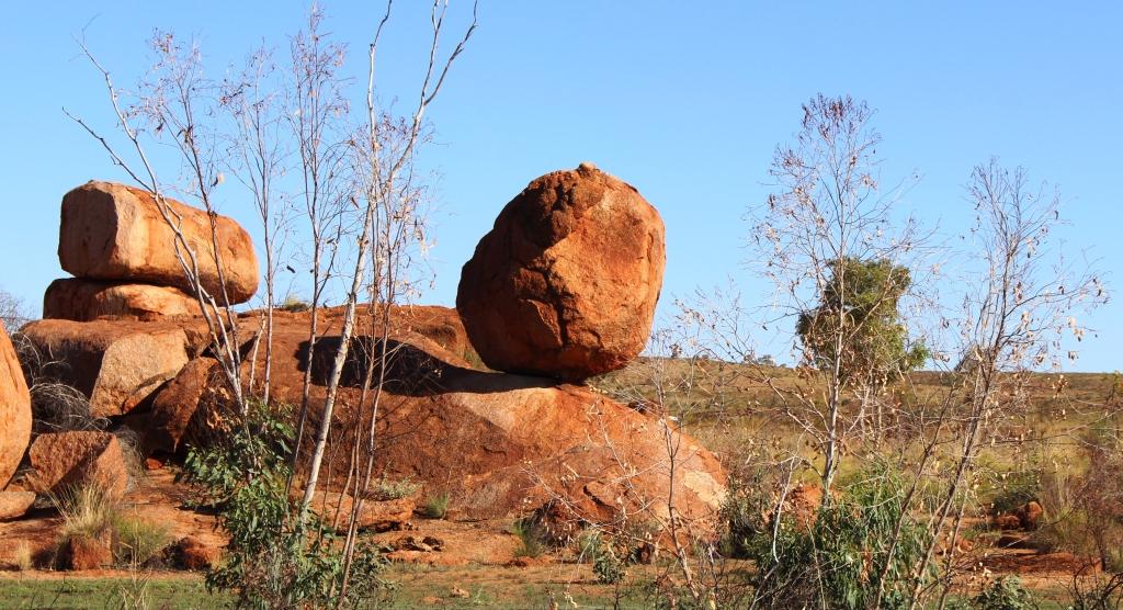
You would think that someone would have pushed it over by now!

You do have to wonder how it got there

The cairn marking the highest point on the Stuart Highway north of Alice Springs
Although the highest point of the road is a bit to the north of Alice Springs there is no feeling of climbing. The terrain appears quite flat most of the way but with some ranges of hills beside the road or visible in the distance. After turning south at Three Ways the Davenport Range and the national park of the same name can be seen to the east. Approaching Tennant Creek from the north a low range of hills dissects the highway while on both sides of Barrow Creek, on both sides of the road, hills with stone caps, like battlements, add a fortress quality to this tiny town. They remind of the Great Wall of China.
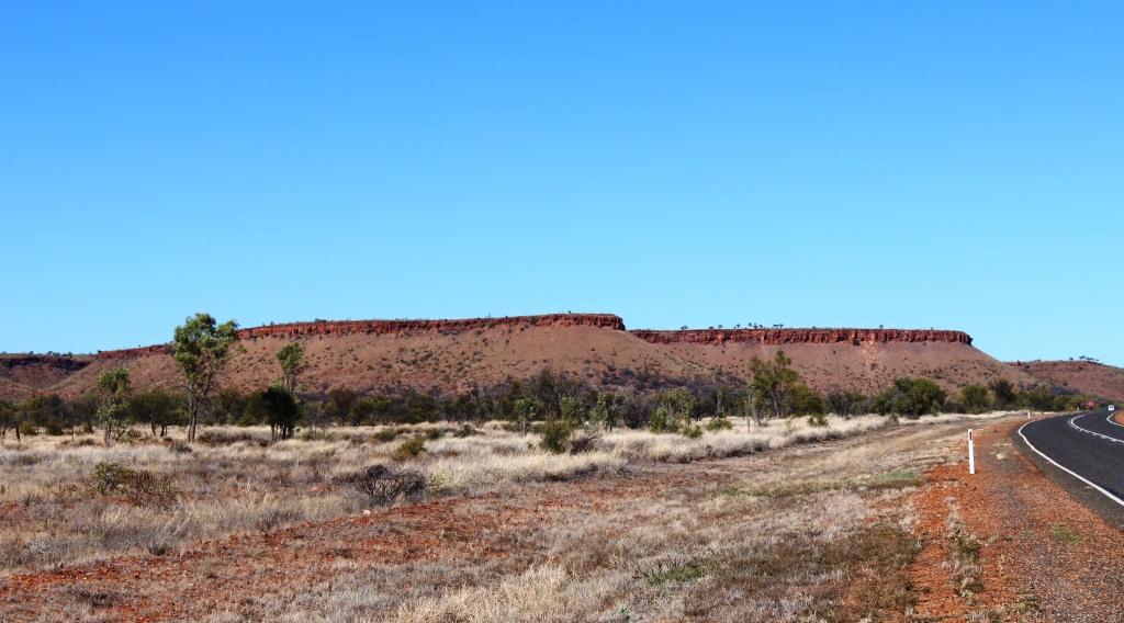
Capped hills near Barrow Creek
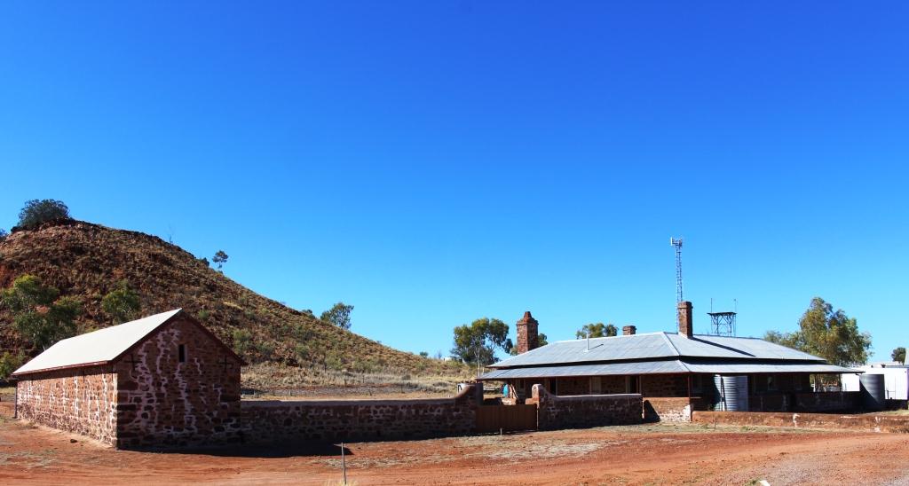
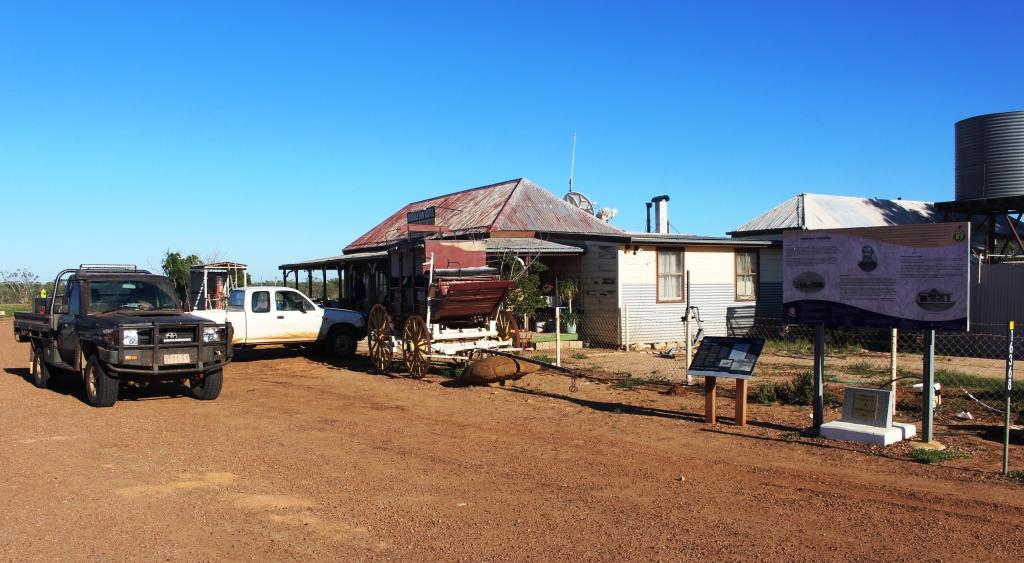
Barrow Creek Telegraph Repeater Station
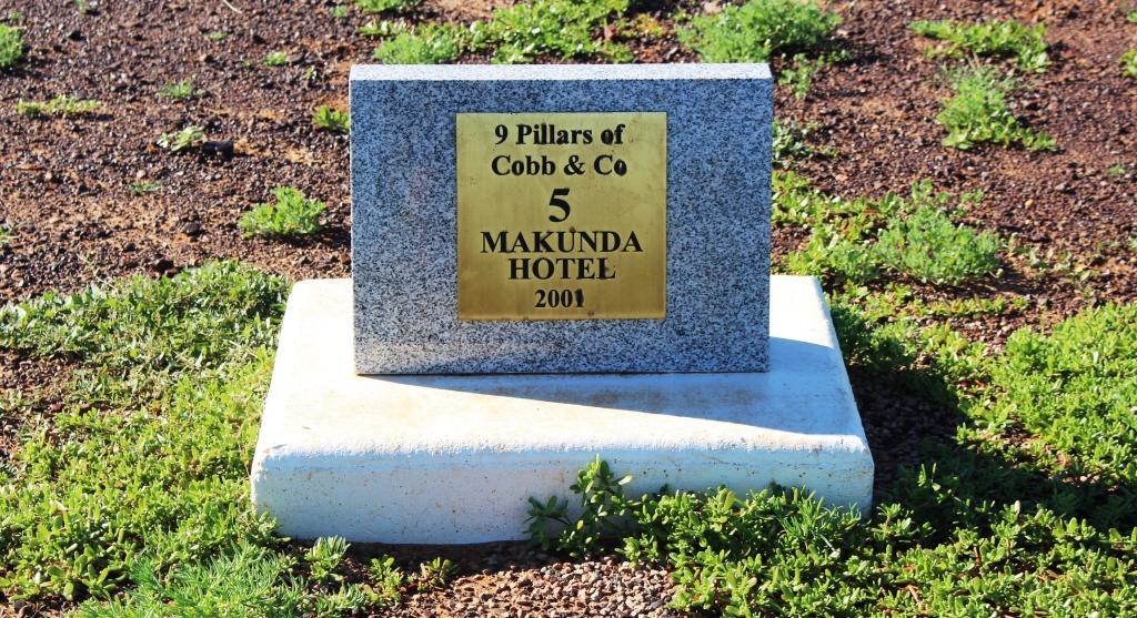
There is a great deal of history along this road. Not only does the Stuart Highway generally follow the route of the Overland Telegraph Line but telegraph repeater stations have been preserved at Barrow Creek and Tennant Creek. Road side monuments honour explorers like Stuart and Warburton. We again crossed the Tropic of Capricorn.
The Stuart Highway was not as busy as the Barkly. For substantial periods we had the highway to our selves, sometimes in the centre of a straight section of highway that extended to the horizon in both directions. Parts of the highway that we drove today had sections with no speed restrictions at all. The rest mainly had a limit of 130 KPH but at no time did we see fellow road users doing excessive speed.
So here we are at the Wintersun Caravan Park, for three days, during which we will wash cloths, shop, have haircuts and look at some things that we have missed in previous visits.