Far North Queensland – 2024- Days 14 to 16 – Airlie Beach to Home

We woke early on Thursday morning, as daylight flooded into our bedroom.  I arose to greet the morning and to photograph the sunrise. Out on the horizon was an inbound cruise ship, sister ship to the boat in port yesterday.
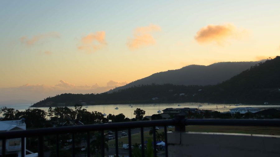
As sunrises go, this one’s a bit disanointing

There was little cloud, so no early indication of where the sun would rise. I waited well beyond the published time of sunrise and then realised that old Sol was coming up right behind the highest mountain peak opposite to Airlie Beach. So, there was no brilliantly coloured sunrise to photograph.
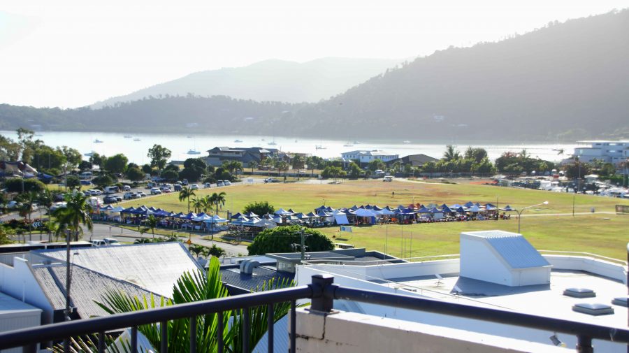
Our view towards the ocean with the
cruise day markets in the open space

In the open area between the town and Port of Airlie, a market was taking shape. I assume that it is there for the additional visitors that the cruise ships bring to town. Even with the extra numbers, the town did not seem all that busy. But I guess many of the day visitors were doing things among the islands or on the reef.
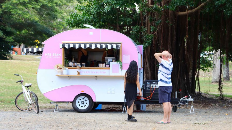
Coffee was on offer here but there was no
seating or view

Around mid-morning we went out looking for coffee and headed towards Cannonvale, hoping for a water view. The only place that fitted our specifications was crowded. I took a walk along the Bicentennial Walking Track to build my days step count. We then went back to the town area of Airlie Beach where we achieved our coffee location objectives.
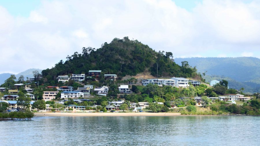
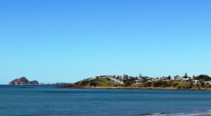
A small residential enclave at Cannonvale
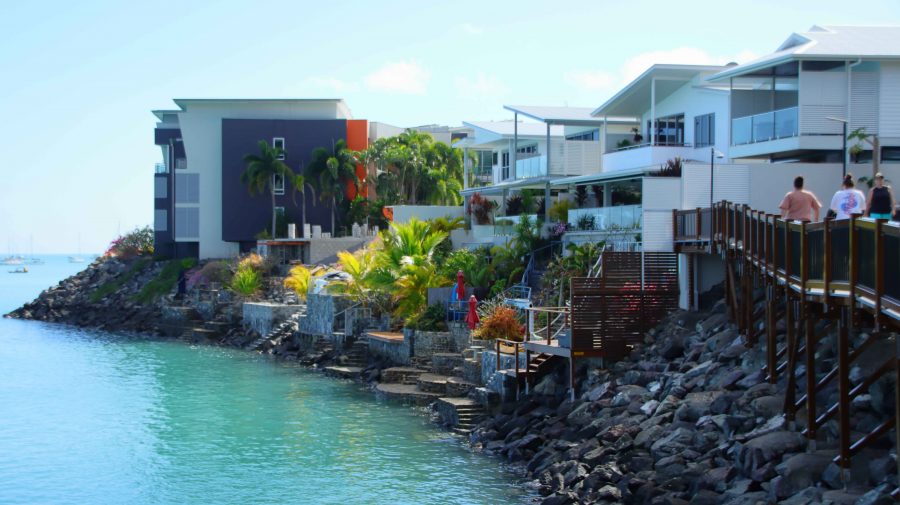
Part of the Bicentennial waterside walking track
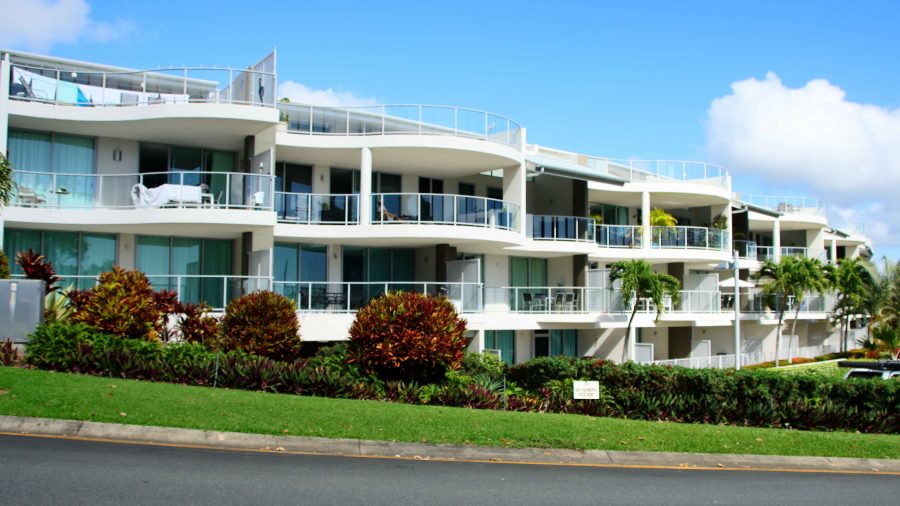
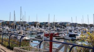
Marina Shores apartments neat the Airlie Beach boat harbour
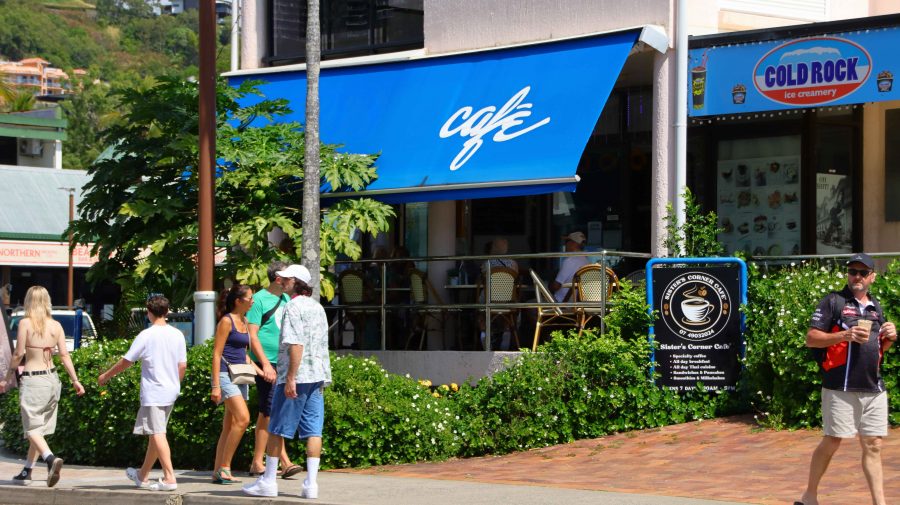
Our eventual coffee venu in Airlie Beach

The man who took our coffee order asked if we were off the cruise ship. That lead to a discussion during which he told us that he was a retired charter skipper, so we talked Whitsunday Islands and cruising for a few minutes. As a retired recreational sailor myself and having chartered a catamaran in the Whitsundays with a group, this was something of a reminiscence, bringing back pleasant memories.

Our Airlie Beach stop was for two nights, for a bit of a break. We did not have a fixed program. We looked around at familiar sights, then returned to our unit to enjoy the view, lunch and a sleep, in that order.
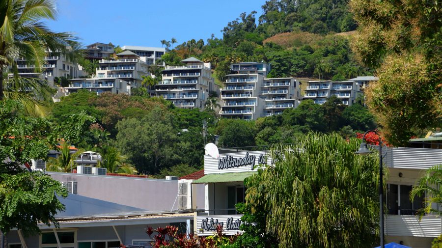
Hillside residential has views that bring visitors back
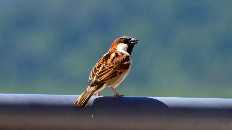
A House Sparrow briefly alighted on our balcony rail
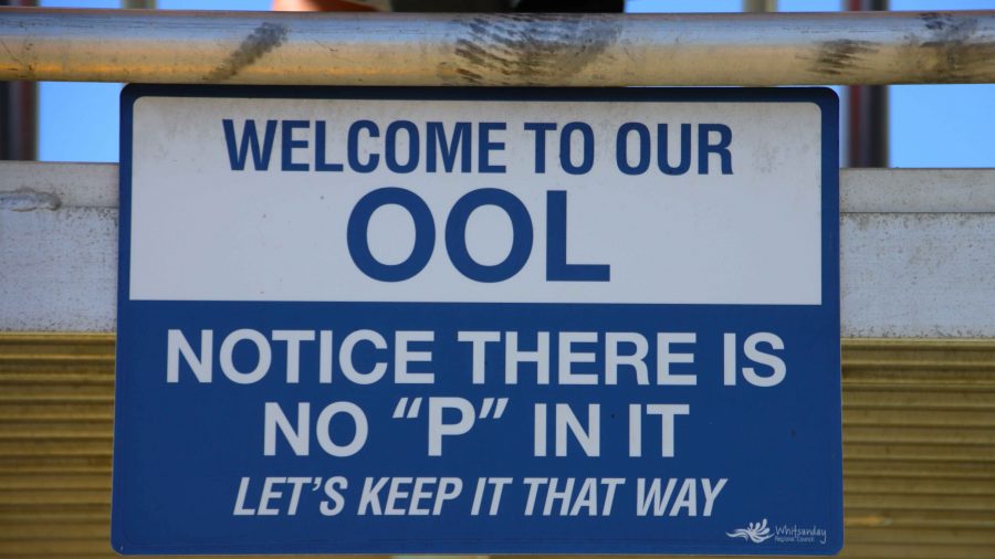
Tongue-in-Cheek sign at the Airlie pool
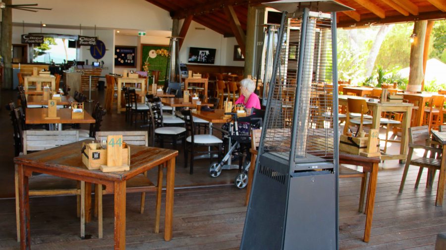
Ruth seated in part of the bar dining area at Northerlies Bar

Suitably rested, we drove out through Cannonvale to Woodwark to check out Northerlies, a large pub and bistro that provides magnificent views back to Airlie Beach. Too soon to eat again, we made do with one drink and returned to our unit for another restful evening.
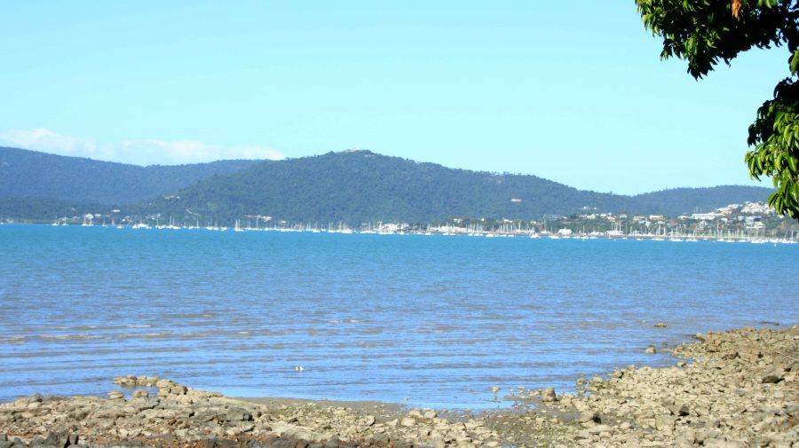
Airlie Beach from Northerlies at Cannonvale

There had been speculation about morning fog at Cannonvale on the evening news. Airlie was clear and almost cloudless as we checked out, but heavy banks of fog blanketed most of Cannonvale but only effected the road in a couple of places.
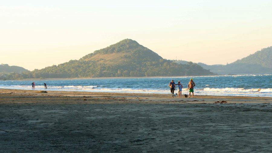
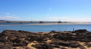
A mostly deserted Kinka Beach

Yeppoon, on the coast near Rockhampton, was our destination for the day. There is a good rest stop at Waverley Creek, north of Marlborough, that we have used for years. Once again, we stopped there for lunch. A fellow traveller stopped by to tell us of an explosion that had closed the highway south of Gladstone. We were not going that far on this day, so we paid little attention and continued on to Yeppoon and then Kinka Beach for the night.
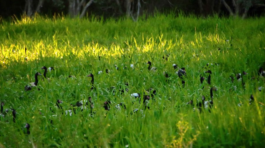
A small sample of the Magpie Geese in the
swamp at Emu Park

After booking in to our motel, we drove to nearby Emu Park for supplies. I noticed some Magpie Geese beside the road on the way in. On our return we stopped to have a closer look, The geese had taken over a large area of swamp with heads poking out of the reeds. Hundreds of them.

Later, on the evening news, we heard all about the explosion and learned that the highway would be closed for several days. The explosion had been caused by a double road train carrying a full load of Ammonium Nitrate, the explosive used in the coal mines inland from the coast. The explosive had become mixed with diesel from the prime mover and did exactly what it was designed to do. BOOM.

On Saturday morning, when we reached South Rockhampton, signs confirmed Highway closure near Bororen, south of Gladstone. A section of two-lane highway had been demolished. No traffic could pass.

We considered back roads to take us to our next accommodation at Bargara, on the coast near Bundaberg. Finally, we decided to make directly for home. Our new route led through Mount Morgan, Biloela, Monto and Mundubbera, returning to the Bruce highway at Gympie, less than 150 km from home.
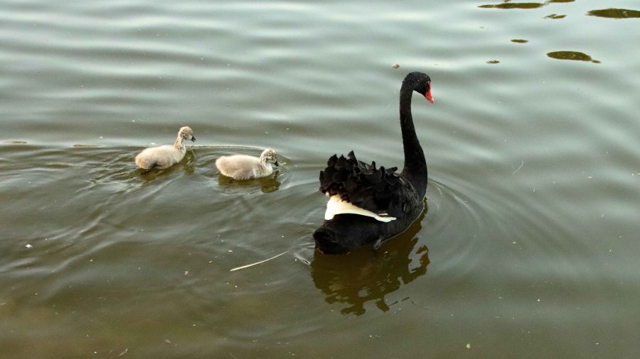
Swan and Cygnets at Lake Alford, Gympie

Weekend traffic meant fewer large trucks. The section of the road between Dululu and Biloela was undergoing extensive repairs necessitated by recent high rainfall. We were stopped at red lights for roadwork probably between fifteen and twenty times. Despite such interruptions we were making good time. We stopped at Biloela for a refuelling break for the car and ourselves and for a late lunch break at the road junction at Ban Ban Springs, east of Gayndah.
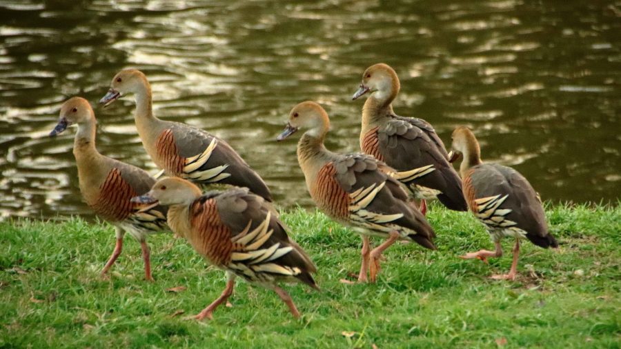
A flock of Plumed Whistling Ducks

Then, at Gympie, we took a final break at Lake Alford, the rest area just south of the town. The lake is a water bird sanctuary. I fitted the birding lens to my camera and took a stroll. The sun was about to set and the birds were active as they so often are at the end of the day. The result was some good bird photos and shots of the setting sun and afterglow, for good measure.

It was an easy run from there on divided highway all the way to our turn from the highway at Burpengary.
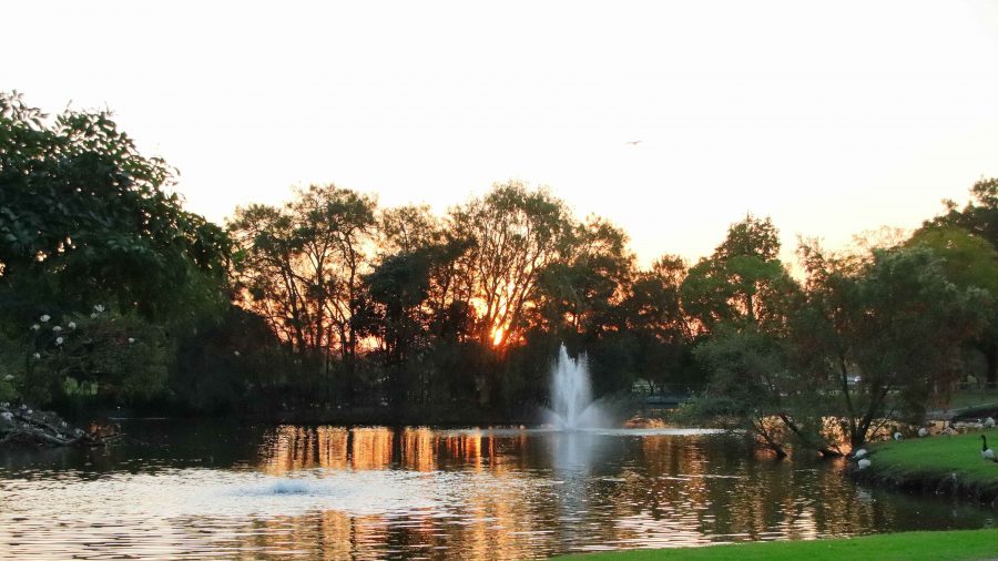
Dusk at Lake Alford, Gympie

Now in our mid-eighties and with Ruth’s mobility issues we have handled this trip quite well, we think. Well enough to have our next trip planned. Late in October we intend to go south again, to meet relatives and see more of this wonderful country in which we live.

West, Centre and Flinders – Days 9 to 11 – Relatively Speaking

My Nexus 7 tablet developed charging problems before we left home. They became worse as we travelled. I use navigation apps on the Nexus which run while we travel. Normally, because it is plugged into a 12 volt charger all day, we arrive at that days destination with the Nexus fully charged. Now it slowly goes flat during the day.

After a few tries I found a repairer in Rockhampton who was prepared to look at it. His diagnosis is that wires that connect the USB port are loose and need soldering. But on such a device the repair requires micro soldering and that is not a common process and probably not available outside of Brisbane at best. So the much loved Nexus is out of service, at least until we are back in Brisbane.

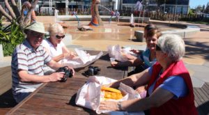
Ready to deal with the fish and chips

Ready to deal with the fish and chips

Fortunately I have another tablet, a Samsung Tab 3, which I received from Telstra as a reward for upgrading the data package on my phone. I have transferred the navigation apps to the Tab 3 but it has a larger screen that the Nexus so won’t fit in the frame attached to the dash board of the car. So I have had to order a larger size which, hopefully, will meet us in Longreach, on Tuesday. We will, of course, spend at least part of Tuesday night filling in our Census form.

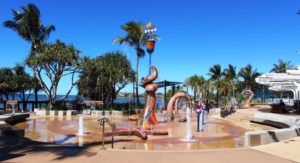
The wet play area at Yeppoon

The wet play area at Yeppoon

But back to the narrative! The distance from Gracemere to Kinka Beach is only 60 km, so even with a stop at the shops in North Rockhampton, we were at Kinka Beach by 11.30 am.  Registration formalities complete, we proceeded to park the van beside the allotted concrete slab. No easy task, as there was a large tree in the way. We finally prevailed, had lunch and settled in to wait for the arrival of Sister Aileen and brother-in-law Colin and their friends Marj and Vic.

View south from Yeppoon. Rosslyn Bay is on the left

View south from Yeppoon. Rosslyn Bay is on the left

We didn’t do a great deal during the two days.  An outing to Emu Park the first day to stock up on food. Ruth went with the others while I stayed behind to get my blog up to date. On day two we drove up to Yeppoon for lunch (excellent fish and chips followed by coffee) and then drove steadily back down the coast road, known as Scenic Highway, taking in the panorama of beach, ocean and islands and stopping in at the Rosslyn Bay marina, where we sat and watched what little activity there was while soaking up some wonderful sunshine. Here I write particularly on behalf of the four Victorian visitors.

Boats and residential area at Rosslyn Bay

Boats and residential area at Rosslyn Bay

In between, we spent a considerable amount of time chatting, as we caught up on news of the Victorian branch of our family, seated in the sunshine and protected as much as possible from a pesky chilly south westerly wind. Daytime temperatures were low to mid twenties, but overnight got down to below 10 C most nights. But that is mostly how it has been since we left home.

West, Centre and Flinders – Days 5 to 8 – Filling In Time

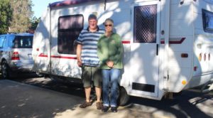
Keith and Linda. Van packed and hitched and ready to go

Keith and Linda. Van packed and hitched and ready to go

Our original plan, on which we set our departure date, had us meeting Keith and Linda (see previous post) further north, possibly as far north as Airlie Beach. But their progress down the coast was a bit faster than we had anticipated so we met them at Bundaberg, as most readers will already be aware.


Near the mouth of the Burnett River at Burnett Heads

Near the mouth of the Burnett River at Burnett Heads

When we parted with them at Burnett Heads we had five days in hand for which we had no predetermined plans. Not a problem! There are always things to look at and places to go.

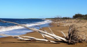
Beached flood debris on Rules Beach near Baffle Creek

Beached flood debris on Rules Beach near Baffle Creek

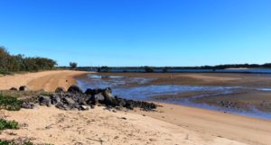
We decided to spend a couple of days at Agnes Water/Seventeen Seventy, but a lot of other people had made the same decision. All caravan parks were fully booked. As an alternative we chose Baffle Creek Caravan Park, located about equidistant from Bundaberg and Seventeen Seventy.

If you want other residents to talk to you at Baffle Creek Caravan Park it is best to arrive with a boat on top of your car, or at least have a conspicuous fishing rod on board. This is a fishing area and people go there to fish. We used it as a base for a day trip to Agnes Water and Seventeen Seventy.

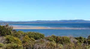
Sand banks in Round Head Creek at Seventeen Seventy

Sand banks in Round Head Creek at Seventeen Seventy

We have visited this area before and I have blogged about it. The day was near perfect. Clear skies and a gentle breeze, although up on Round Hill Head, the headland that stands above the town of Seventeen Seventy, the wind was stronger. We did a couple of walks to take in the rugged scenery and the panoramic views of the ocean provided by this vantage point, before returning to the water side park, near the Seventeen Seventy hotel, where we settled ourselves in a picnic shelter for a leisurely lunch.

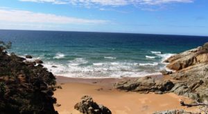
A small bay on the ocean side of Round Hill Head

A small bay on the ocean side of Round Hill Head

Boats at anchor in Round Hill Creek

Boats at anchor in Round Hill Creek

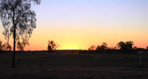
The sun sets over the agricultural fields at Biloela

The sun sets over the agricultural fields at Biloela

That took care of the first two days. For the remaining three days we decided to go inland to Biloela via Calliope and the Dawson Highway. We wanted to cross from Miriam Vale to the Boyne Valley, as an alternative road to Calliope, but tales of horrendous road conditions on the first part of that road put us off, so we stayed on the Bruce Highway.

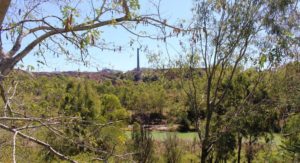
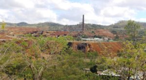
The 70 metre chimney at Mount Morgan gold mine

The 70 metre chimney at Mount Morgan gold mine

We returned to the Queensland Heritage Park at Biloela for the night. In our short trip north in June we had spent a night here so were on familiar tertiary.

The logical path to the Yepoon area from Biloela took us through Mount Morgan. I think we had only driven through this historic gold town previously but our plans for a closer look were made a bit more difficult when we found that the only decent caravan park in Mount Morgan was booked out.

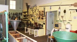
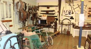
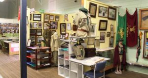
Mount Morgan museum display

Mount Morgan museum display

Mount Morgan museum display

Mount Morgan museum display

Mount Morgan museum display

Mount Morgan museum display

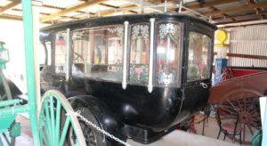
A rear view of Mount Morgan's first motor hurse

A rear view of Mount Morgan’s first motor hurse

The old gold mine, viewed from a vantage point in the town

The old gold mine, viewed from a vantage point in the town

So we booked two nights at Gracemere, a town that is now almost a suburb of Rockhampton, but still close enough to Mount Morgan to make a day trip back. On our way through the town we drove around to get our bearings and to find mine viewing vantage points. We then visited the superb museum in the town. The vast collection of historical memorabilia is divided into categories and themes, with the mine dominating. But other sections contained material related to the hospital, armed forces, scouts and guides, religions, local aboriginal history and more.

We found that a tour of the mine was available on a daily basis so when we reached Gracemere we phoned to make a reservation for the next day.

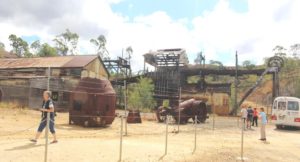
The head equipment of the shaft that took miners to their work

The head equipment of the shaft that took miners to their work

Gold mining was commenced by two Morgan brothers in 1882 but the scale of operations increased in 1888 when a company was formed and more finance became available. Mining finally ceased in 1990 but there was a period in the late 1920s when the mine was closed for five years, due to flooding to extinguish a fire in the mine shafts.

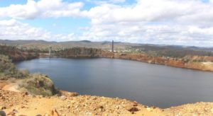
The pit, one of the largest in the Southern Hemisphere, is now almost full of water

The pit, one of the largest in the Southern Hemisphere, is now almost full of water

But it was a very successful mine for most of its one hundred year life and many fortunes were made. One example of this was Walter Hall who was an early shareholder and director. Some of his fortune was later used to found the Walter and Elisa Hall medical research foundation.  This is just another example of the extent to which gold played such a dominant role in the foundations of Australia.

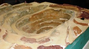
A model of the Mount Morgan pit displayed in the museum section of the company office

A model of the Mount Morgan pit displayed in the museum section of the company office

Our return to the caravan at Gracemere brought to a conclusion the brief period of filling in days. The next day we travelled to Kinka Beach, south of Yepoon, for our few days with sister Aileen and brother-in-law Colin, before we head west for the main part of this trip.