Sydney & Blue Mountains – Katoomba, Blackheath & Home

The Three Sisters were a bit further away than yesterday.

Wednesday was a day out of the tourist brochure, but Thursday dawned with total cloud cover. Happily, rain held off until about 3.00 PM. Aileen had had another bad night with her back and needed the services of another chiropractor. She found an appointment in Blackheath at mid-day. That left us with a morning to fill in.

Scenic World is high on the cliff edge.

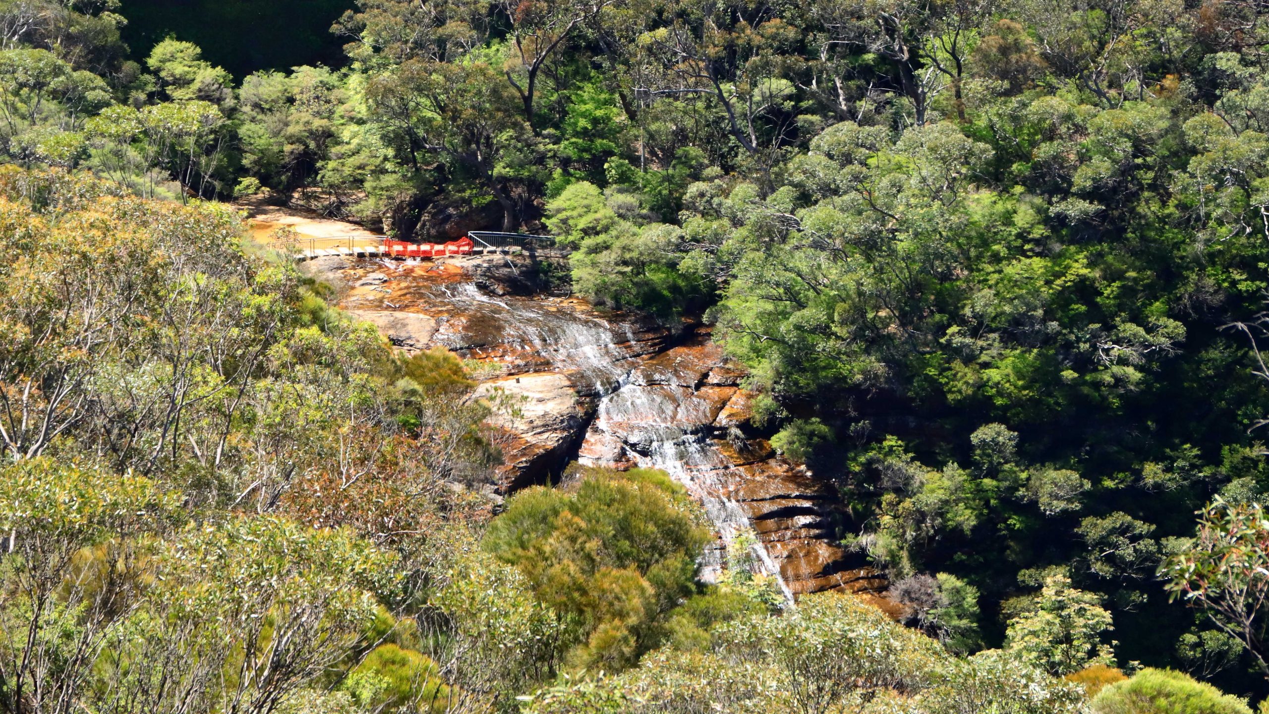
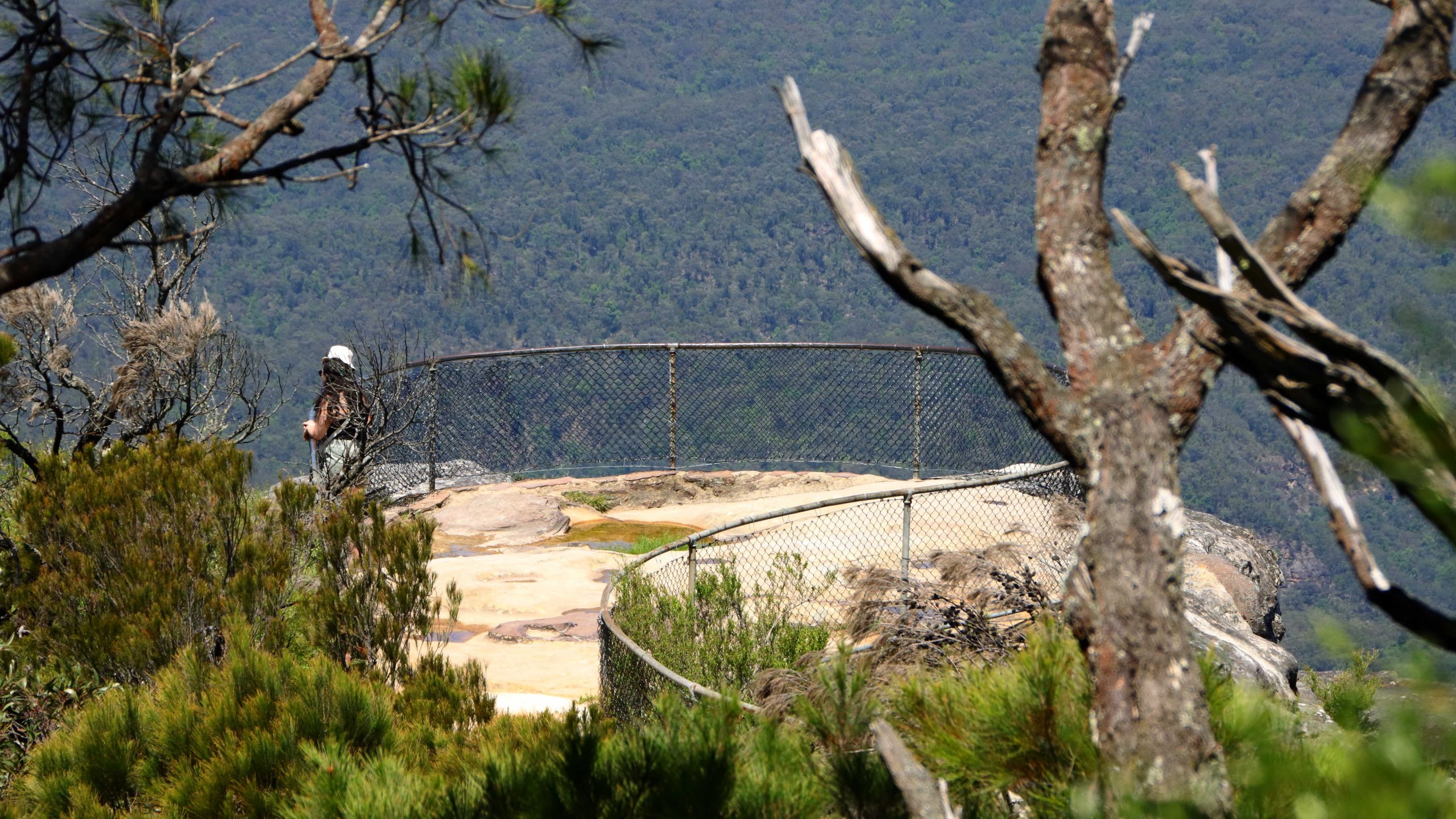
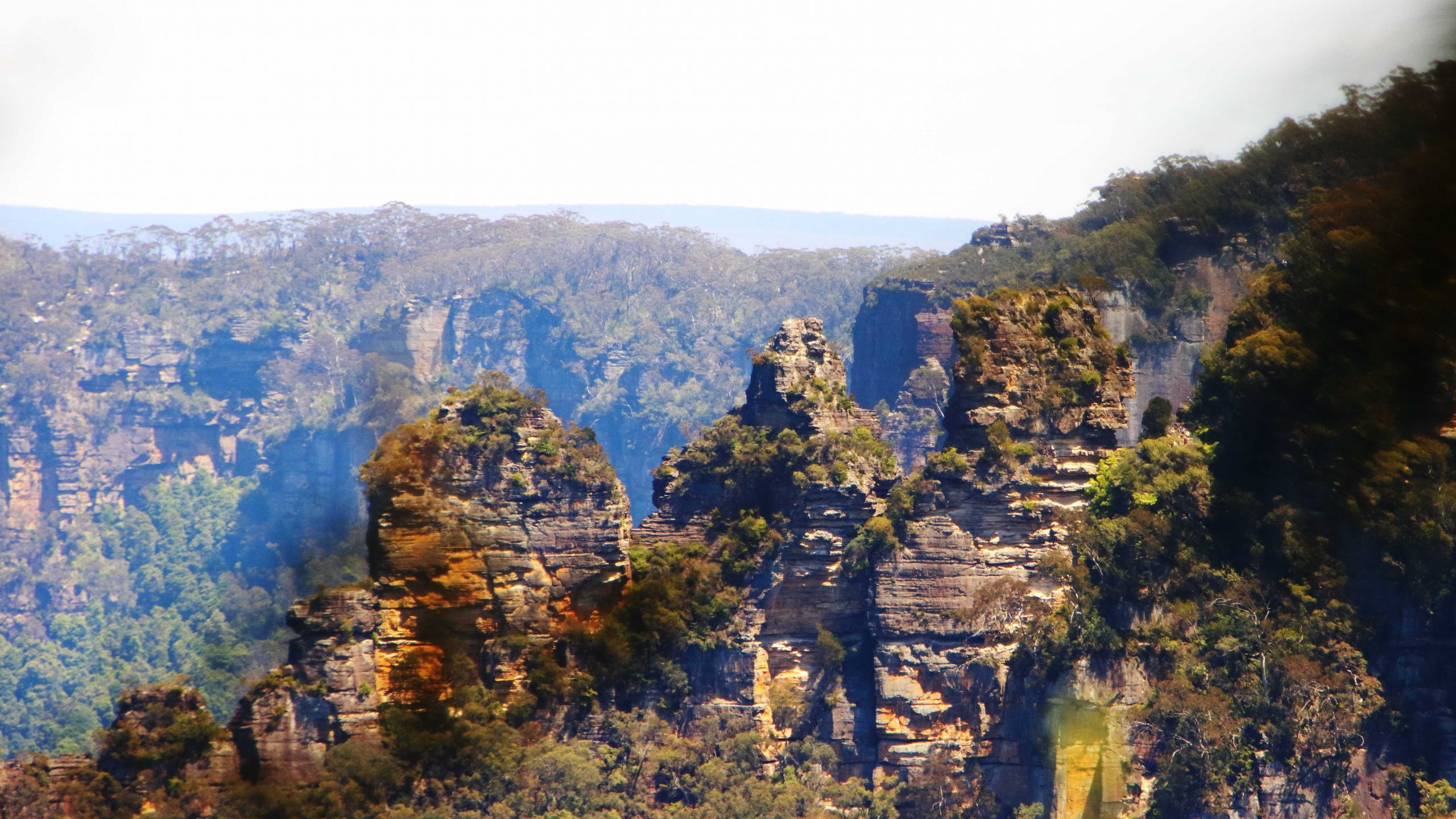
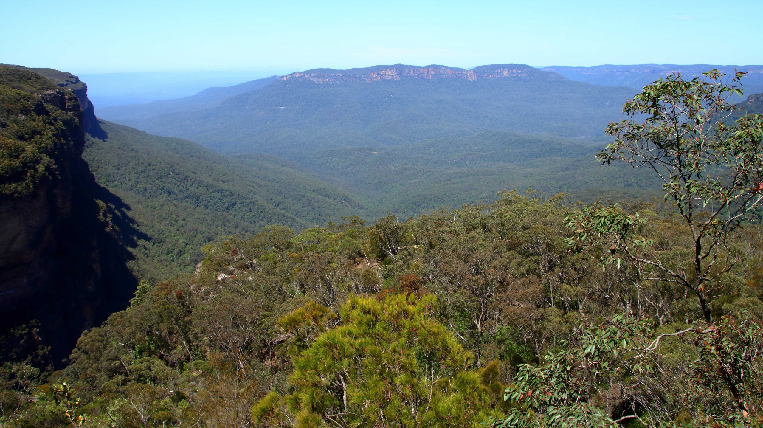
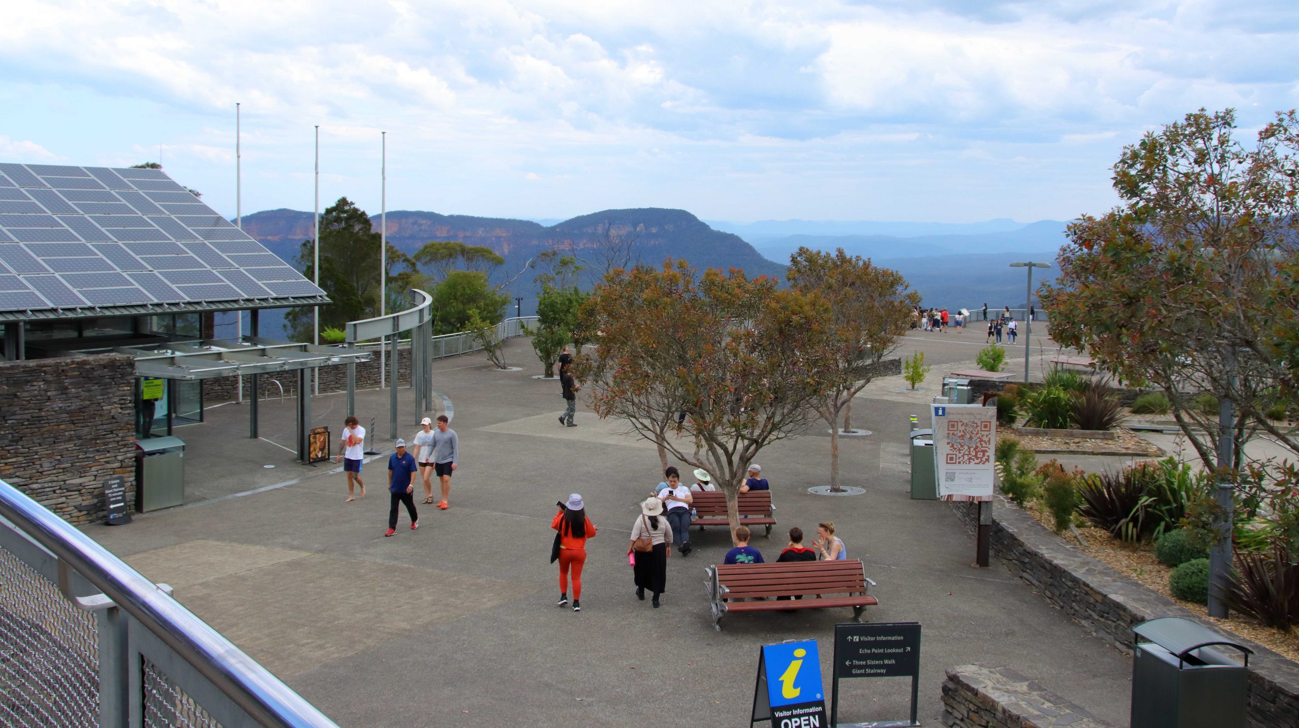
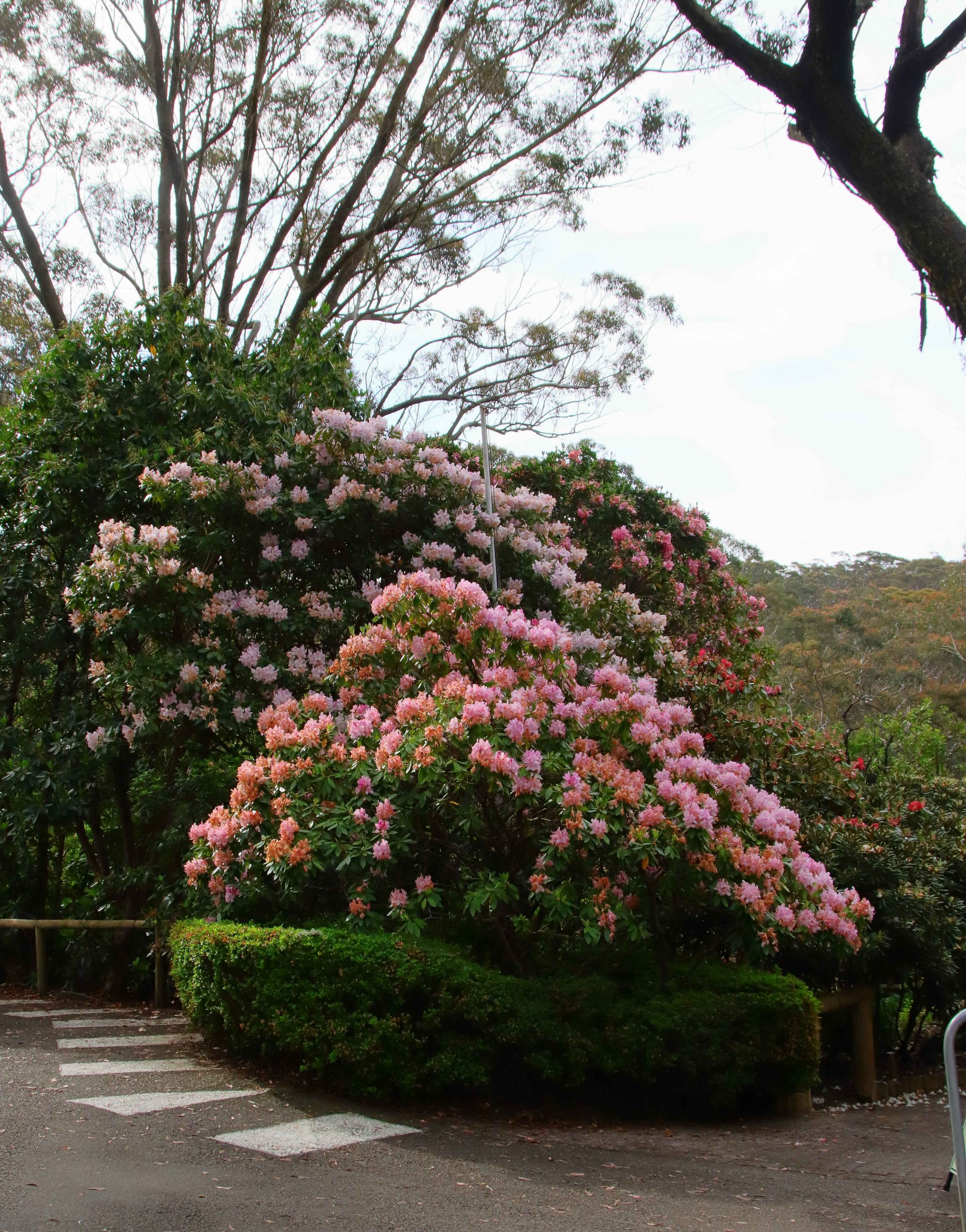
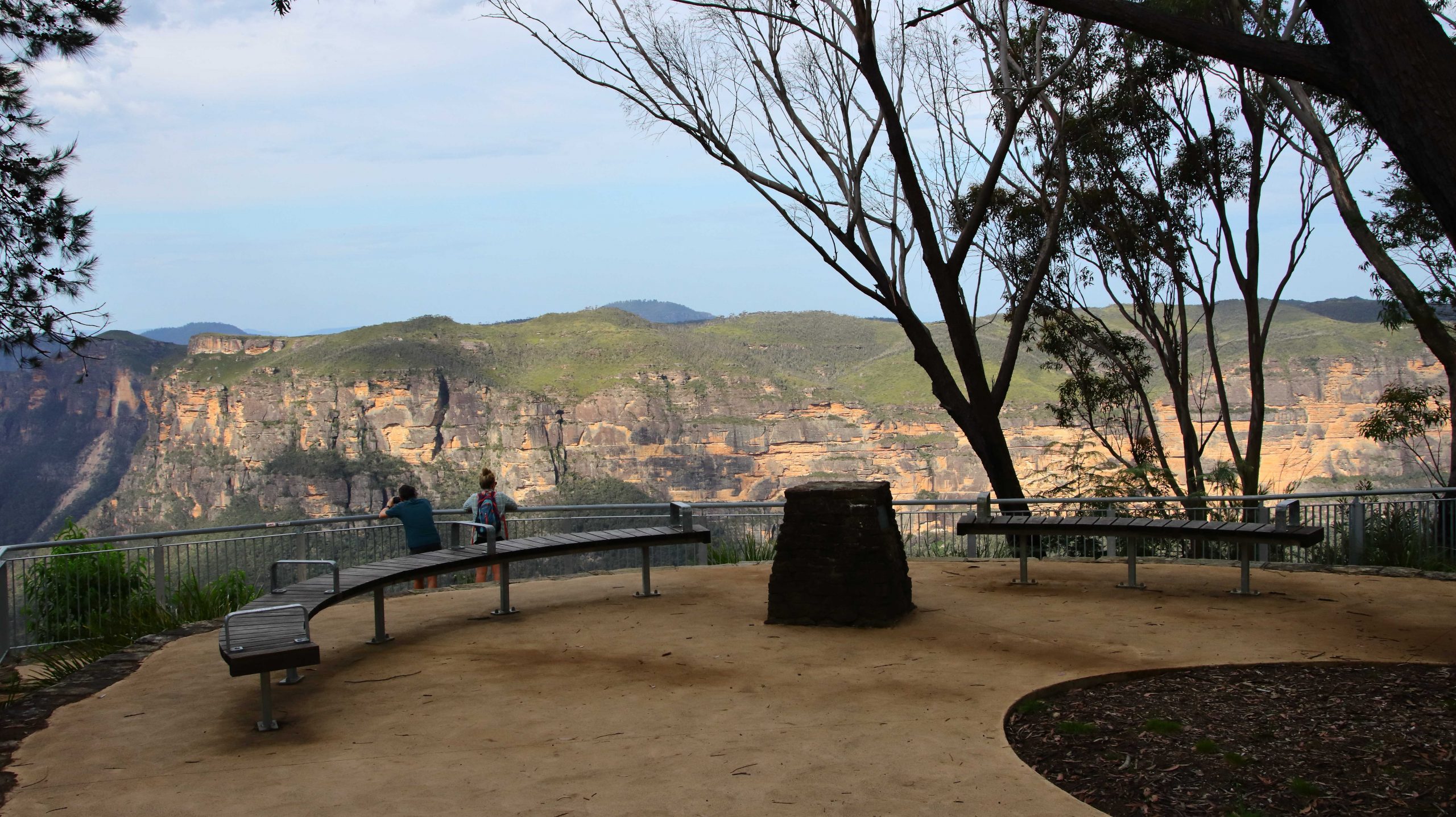
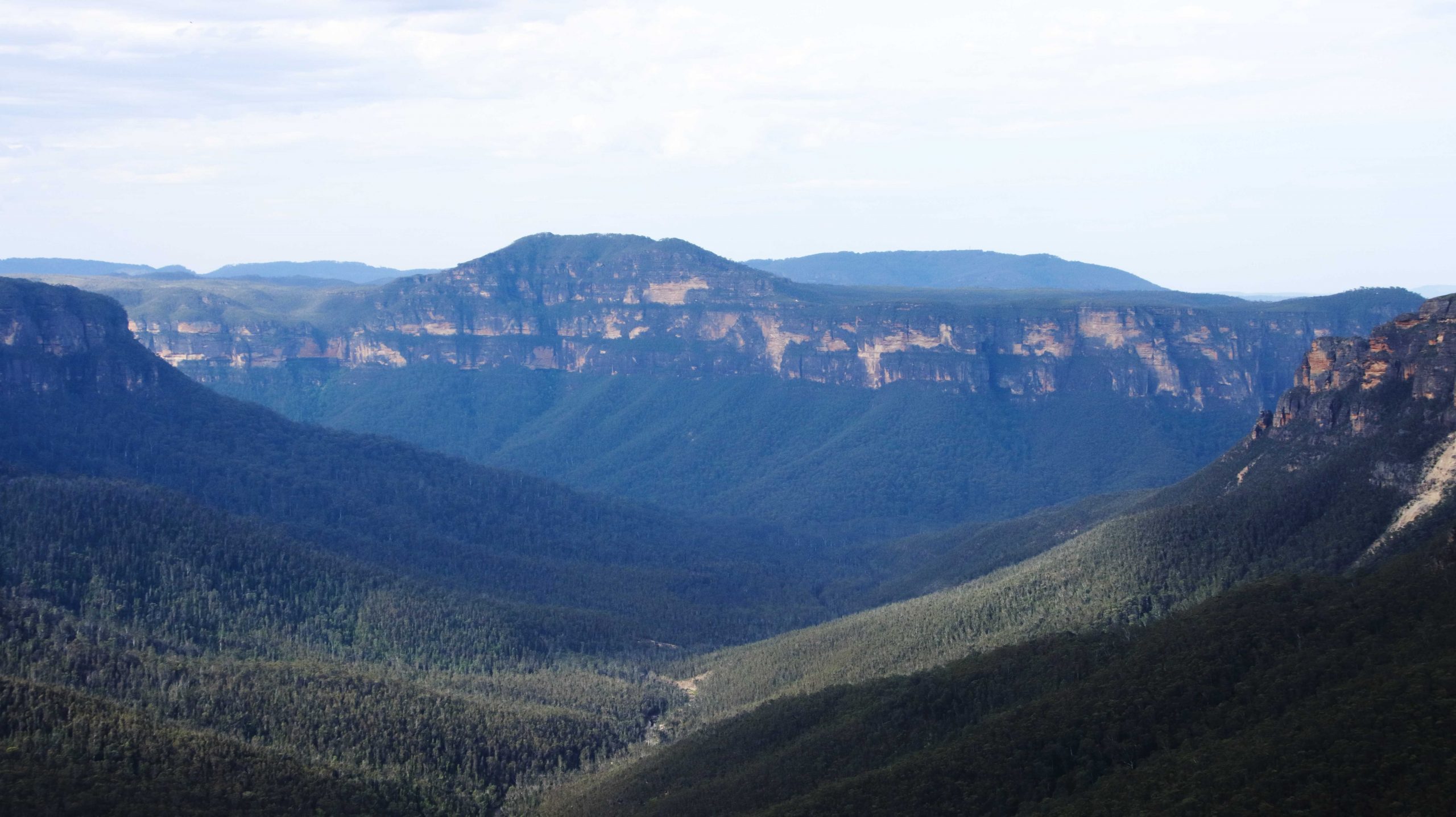
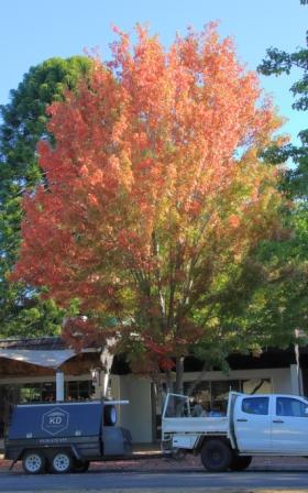
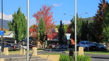
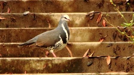
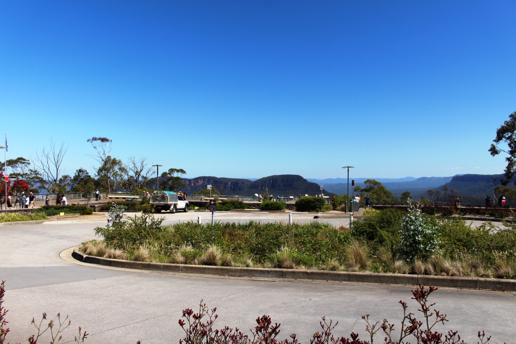
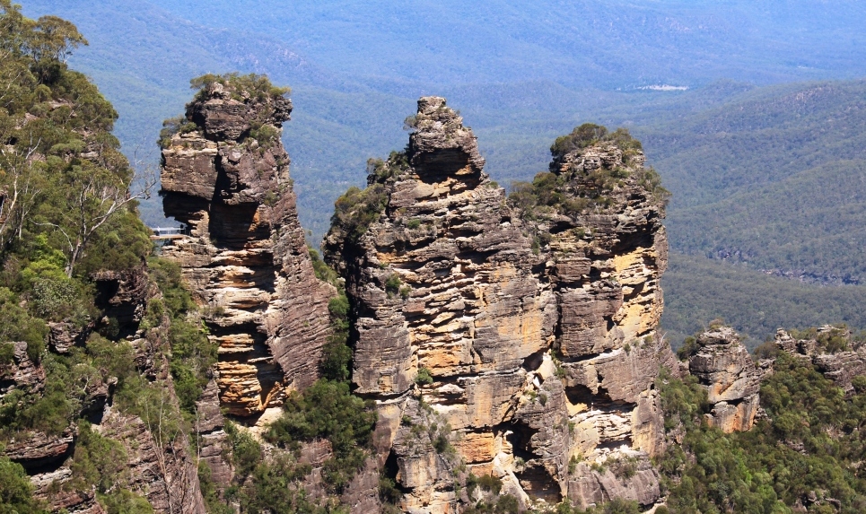
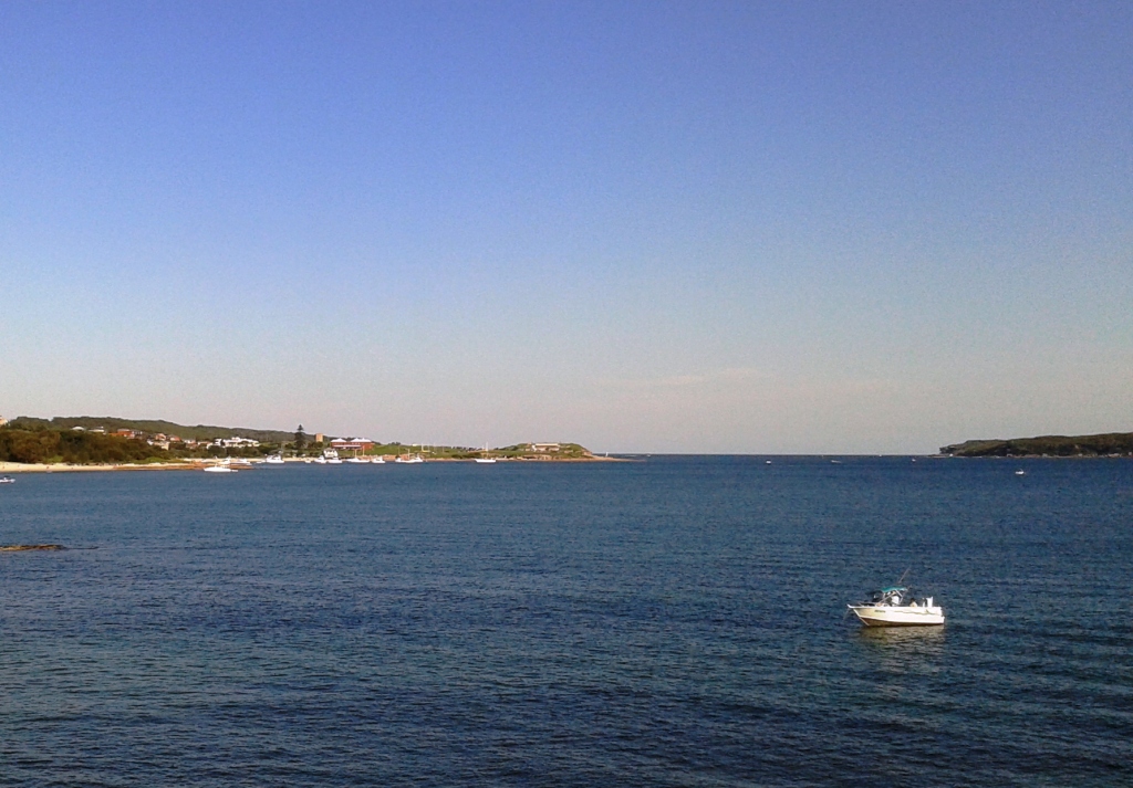
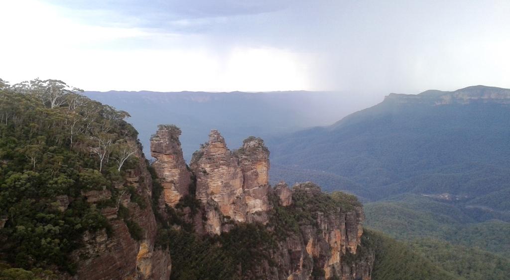
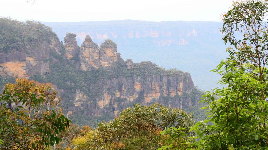
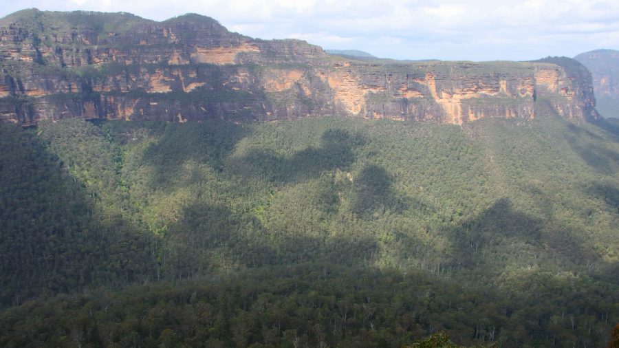
We returned to Katoomba to drive some of the cliff top roads that provide views to the Jameson Valley. It was more of the same from the two previous days, but Blue Mountain scenery can stand some repeats. We stopped at a couple of lookouts, but the heavy cloud meant that the colours were subdued and nowhere near their best.

The Six Foot Track start.

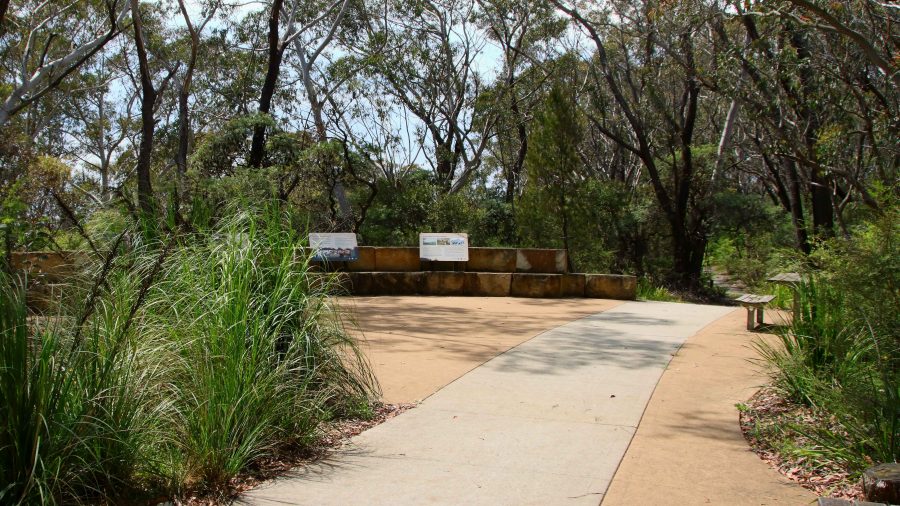
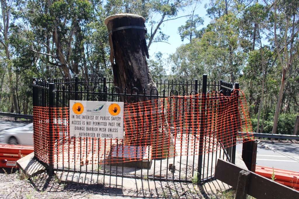
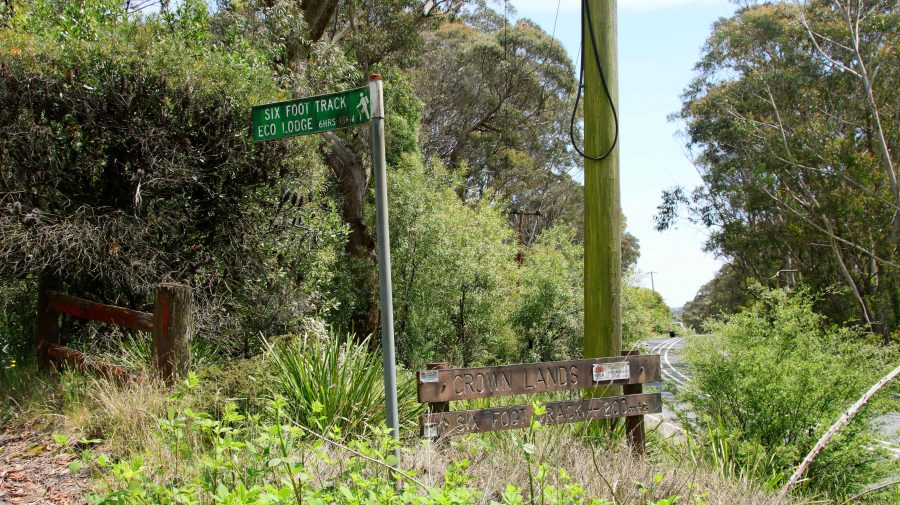
For some older scenery we returned to the old site of Explorers Tree and confirmed that the rellick was no longer there. But on the other hand we did discover the Katoomba end of The Six Foot Track. It now begins at an eco-cultural plaza, I guess you would call it, with history and Aboriginal culture sharing prominence. The quality of the trail head path does not continue very far.

The former site of the Explorers Tree.

We returned to Blackheath for Aileen to subject herself to another pummelling. Then lunch at a gourmet sandwich shop in the main street of Blackheath. Different and very tasty.

Sadly, this is where my photos of the Blue Mountains end. I took some shots at Mount Wilson and on the way down the mountain to Lithgow but they are not on my camera or phone. It is a mystery.

A mural on the old theatre in Blackheath.

We still had an afternoon to fill. The last time that Ruth and had driven west to east over the Blue Mountains we had used the Bells Line of Road, the main link between Lithgow and Richmond on the Nepean River. I had noticed a turn to the left east of the small town of Bell, to Mount Wilson.  This small town became our destination.

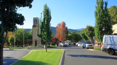
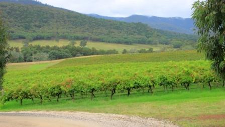
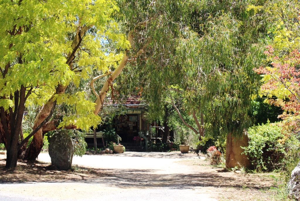
From Blackheath we had a 32 km drive, the last 10 km or so on winding mountain roads. We found that we were in an area not unlike some of the less developed parts of the Dandenong Ranges in Victoria. The area is elevated with roads leading to large acreages blocks containing substantial houses with extensive gardens.

Another view into the Grosse Valley

There is a small commercial centre but no one was there. The area offers a number of walks but it would require a much better day to entice me onto any of them. At least we now know what is there.

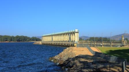
Returning to Bell, we continued on towards Lithgow, hoping to take a look at the Zig Zag Railway, the heritage listed original railway that climbed the mountain from Lithgow. When I planned the trip, a ride on the railway was to have been on our itinerary, until I discovered that the train only operated on Friday to Monday. Rain had started by the time we reached Clarence Station, the top station of the Zig Zag Railway, so we drove past.

Anvil Rock

To cover new territory, we continued down the mountain to Lithgow, returning to Blackheath via Hartley and the Mount Victoria Pass. Beside the highway, we could see the new road being constructed, towards the base of the mountain where the tunnel will start.

Each time we drove to or from Katoomba we passed, in Blackheath main street, the Blackheath fish and chip shop. We subsequently discovered that the shop had opened about a year after Ruth and I had honeymooned in Katoomba. So, when dinner time approach Bernard and I sallied forth and acquired four seafood boxes. They provided a very satisfactory meal.

Thelma, Ruth flanked by old friends.

On Friday morning we were out of bed early as we all had a distance to cover before nightfall. We left Blackheath at around 8.30 AM, Aileen and Bernard bound for Cooma and Ruth and I for Coffs Harbour. It was a long day, but we used the tollway tunnel system to escape Sydney. Further north,we were interested to see the scope of the highway extensions under way to link the northern end of the Newcastle Bypass with the highway north of Raymond Terrace.

The birthday cake became desert.

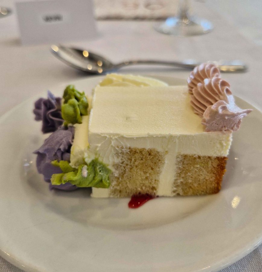
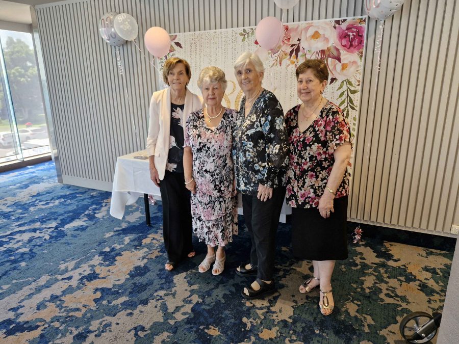
A short drive on Saturday morning brought us to the RSL Club in Ballina and the eightieth birthday celebration that was the gneisses of the whole trip south. It was a successful event. We renewed acquaintances with folk from our days in Melbourne who we have not seen for a very long time.

Next morning, with the family of our new eighty-year-old, we enjoyed the views over Shelly Beach from a café, as we shared brunch with visitors who had come to Ballina for the celebration. Suitably refuelled, we climbed back into the car for the last three hours of our trip.

Sydney and The Blue Mountains – Lookouts and Gardens.

Aileen had hurt her back yesterday morning, of all things, putting her trousers on. Tuesday night had been a bad night for her, so the priority for Wednesday morning was to find a chiropractor. She located one in Katoomba, with an appointment just after lunch. That determined the direction in which our sightseeing lay that day, but it was not much different to what we had in mind.

Wentworth Falls

We started our tourist day at Wentworth Falls. As we approached the parking area for the walk to the viewing point we noticed smoke in the air, then spotted a helicopter with a water bucket underneath. Must only have been a small fire as the smoke reduced quickly but was still a bit of an obstacle to clear photos. Views into Jamieson Valley were good but when we moved along to the viewing Point for Wentworth Falls, the flow of water over the drop was a bit disappointing.

Sublime Point Lookout
The less seen side if Thr Three Sisters.
View into the Jamison Valley from Wentworth Falls

The next stop was Sublime Point, where we walked down to the top viewing area that gave us a view of the lower lookout. Sublime Point protrudes into Jamieson Valley further than any of the other promontories, so does provide a top vantage point. It also provides a view of the back of The Three Sisters.

Next in order was Leura and the Leura Cascades but most of the area was closed to the public with car parks sealed off with temporary gates.

By now it was nearing lunch time. We found a parking space under the library and took the lift up to a cafe on an upper level. The chiropractor was located just over the street. I walked Aileen over while Bernard and Ruth waited.

The viewing area at Echo Point
The fire control helicopter at Wentworth Falls. Note the bucket in the lower left hand corner.

Aileen felt better, so we continued our drive. As we were close to Echo Point we resumed there, taking in the views of mountains and valley and taking those mandatory photos. We went back to have another look at Leura Falls area but had no better luck. Finally we drove to Katoomba Falls. Again, there was not much flow in the stream and as it is quite a long walk out to the point where the water actually falls, we decided to give it a miss and move on.

That mandatory photo but I didn’t get the Sisters in the background.

The Jamison Valley terminal of the Scenic Railway.

A Sulphur-crested Cockatoo at Katoomba Falls
Heads down and eat. Wood Ducks also at Katoomba Falls.
The Waratah, floral emblem of New South Wales.

With the Katoomba area pretty much done, we returned to Blackheath to visit the Campbell Rhododendron Gardens. Rhododendrons grow well in the mountains with specimens of this family of shrubs adorning private gardens at evert turn. Despite the uniform floral theme, the gardens are worth a visit. Ruth and I previously visited about six years ago.

The gardens are spread over a timbered hillside with the blooms juxtaposed with native trees that provide natural shelter. A stream runs through the lower area with lagoons that provide reflections and a home for water birds. Sadly, many of the blooms were past their best but still provide a blaze of colour over the hillside. There is an entry fee of $5.

A Rhododendron in the gardens
A pool in the stream that runs through the lower levels of the gardens.
Evans Lookout and Grosas Valley

There is another verry good lookout in this area, just south of Blackheath. Evans Lookout provides views into the Gross Valley and of some of the best Sandstone cliffs in the area. It provides parking for one end of the Evans Lookout to Govetts Leap walk, a very popular walk through what is known as the Grand Canyon. This is a walk that I would have loved to do but I am afraid that time has passed me by.

A view over the Grosse Valley from Evans Lookout.

By this time Aileen was feeling the effects of the chiropractor’s pummelling so we returned to our cabin to rest and prepare for dinner. Bernard is a keen golfer so decided that we should patronise the Blackheath Golf Club for dinner. We had another pleasant meal and had the dining room almost to ourselves.

That was not, however, the end of our day. Aileen turned eighty on 28th November this year. We could not pass up the opportunity to celebrate. We had shouted her dinner and Ruth had purchased a birthday cake and candles. When we returned to our cabin we continued the birthday celebration with cake. The candles could not be lit because we did not have matches and it was too late to try to borrow some. We sang “Happy birthday” and talked.

Then bed time. That is always a great time of day at our age.

The Family Responsibilities Tour – Part 3

Note: A video covering the material in this post can be found at the foot of this blog post.

Excess water released from Hume Dam

We left Phillip Island amid showers sweeping across Westernport Bay and the adjoining coastal plains. Our route lead along the South Gippsland Highway, Monash Freeway, skirting around the city to reach the Tullamarine Freeway and finally to the Hume Highway. We were headed to Bright to see if Autumn had yet reached the area, famous for its Autumn colours.

Afternoon tea on the lawn
Bright Cenotaph
More colour in Bright
Rosella in the tree on the lawns

We only took necessary breaks, arriving in Bright in the late afternoon. Our motel backed onto lawns that run down to the path that runs along Ovens River. We look our afternoon tea to the lawn and were joined by some Parrots.

Early Autumn at Bright

The Liquid Amber trees were turning nicely but the Poplars and other deciduous trees had only just started to put on their show.

We left town next morning via Yackandandah, a nearby town also known for its colours, but it seemed to be running later than Bright.

We were bound for Hume Dam on the Murray River to see what it looked when when full. Excess water was being released to a huge roar, in sufficient quantities to fill the river down stream to the top of its banks. When we came through there on our way home from Tasmania two years ago the water level was well below the spillway and further up stream, cattle were grazing on river flats that had been exposed for years but now are inundated by the water in the dam.

Sunlit clouds over Goulburn.
Lake Hume, full to the brim

We made our way to the Hume Highway and continued on to Goulburn for the night.

Heavy rain was forecast for the recently flooded North Coast of NSW so we decided to cross the Blue Mountains and make our way home inland. But first we wanted to see the recently overflowing Warragamba Dam. Warragamba was not far off our track.

Warragamba Dam, also full to the brim
Water released into the Warragamba River.

We thought that refreshments might be available at the visitor center at the dam, but no such luck. We did our tourist thing under increasingly threatening skies. Walking back from an observation point I took a wrong turn and came upon a pair of Rosellas. Then a Wonga Pigeon landed on stairs behind me, the first of this type that I had seen.

The visitor centre overlooks the dam

Soon, after departing the dam, the sky opened and stayed that way. As we approached the Great Western Highway, traffic congestion was becoming an issue so a quick change of plans and we were on the highway heading west. With the rain still falling and a stop becoming necessary, we found a convergent McDonald’s and stopped for lunch. Back on the road the rain continued to well on the way to Mudgee, our next overnight stop.

Wonga Pigeon at Warragamba Dam

Mudgee is a week end town, thriving on visitors from the coast, so they have their weekend on Monday and Tuesday. We were there on Monday night and found most restaurants were closed. The Chinese restaurant at the Gold Club was recommended. They served excellent food in huge quantities. We only eat half the food served to us but were able to take the leftovers. They were sufficient for dinner the following night.

Silo artwork at Dunedoo in Central NSW

Next morning, we had passed through Gulgong and Dunedoo when a phone call from last night’s motel advised that I had left my binoculars behind. So, after returning the necessary 85 kilometres, we had coffee and started again. We left Mudgee, this time by the Ulan Road, then through Binnaway so saw some new country. Lunch at Coonabarabran and a stop for the last night at Moree to rest and deal with leftover Chinese food.

Vineyard near Mudgee

The plan was to do the last leg of the journey via the Gore Highway to Toowoomba and then the Warrego Highway to Brisbane but as we left Goondiwindi a roadside sign advised that the Gore Highway was closed. So on through continuing rain with a stop at Warwick and arrived home mid afternoon. 

Eighteen days and a bit over 5,000 kilometres with average weather and escalating petrol prices. But we saw all of the relatives that were planned and respects paid at two grave sites. In all a successful trip. 

Sydney 2014 – Day 12 – 28th January – Megalong Valley Plus

I have wondered for years what is in the Megalong Valley. The answer is – not much!

We started the day with a visit to the business district of Katoomba to collect mail and do some shopping. That done, we packed lunch and headed back to Blackheath, from where the road descends into the Megalong Valley.

The historic Explorers Tree

The historic Explorers Tree

On the way we made a call at a historic site known as the Explorers Tree. As the  photograph shows, the tree is now a stump, but it’s significance is that it was marked by explorers Lawson, Blaxland and Wentworth in their first crossing of the Blue Mountains. Obviously it needs some TLC.

Eight kilometres of sealed, narrow and winding two way road leads to the tiny town of Megalong and for a surprising distance beyond, given that it leads to a dead end.

Shady café in Megalong.

Shady café in Megalong.

The Megalong Valley is another area of former shale mining, but that was long ago and there are no obvious signs of it today. The area is mostly rural with a little tourist activity. There are a couple of horse trail riding operations and a surprisingly successful cafe/restaurant, judging by the number of laughing and chattering people seated at tables beneath shady trees. Through the town are

Shale mining memorabilia.

Shale mining memorabilia.

at least three free camp areas with toilets provided, which seem to be favoured by motor homes.

Back at the top of the mountain we turned left to visit Hargreaves Lookout and in so doing drove through the Shipley Plateau area that the tourist brochure claimed to be worth visiting for the orchards there. Obviously the material was written a long time ago and no one has bothered to update it. There is really nothing to see. Prominent signs lead to one apple orchard that clearly has been closed for years.

The Hydro Majestic Hotel at Medlow Bath from the Megalong Valley.

The Hydro Majestic Hotel at Medlow Bath from the Megalong Valley.

Viewing area at Echo Point.

Viewing area at Echo Point.

So, feeling that we had given the Blue Mountains a pretty good going over we came back to Echo Point to once again view the Three Sisters. We had one of the clearest views possible on what was a near perfect summer afternoon. And, unlike most other sisters that I know, they do not look a day older. On the way back to the van we took the short stroll

Classic view of the Three Sisters.

Classic view of the Three Sisters.

to Cliff Lookout where we had excellent views of the Skyway, Scenic Railway and the newer cable way that also runs to the valley floor. We also saw where Katoomba Creek plunges into the valley from a different view point and Ruth caught a glimpse of Katoomba Falls.

The Skyway car passed over on our walk.

The Skyway car passed over on our walk.

The complex at Scenic World

The complex at Scenic World


Where Katoomba Creek takes its final plunge.

Where Katoomba Creek takes its final plunge.

This visit to the Blue Mountains has been mainly about looking at iconic tourist sites. I would like to return for long enough to do some of the many walks, particularly those that run along cliff tops or descend into the valleys.

And where are the best mountain views? Govett’s Leap, without a doubt!

A Different Way There ….. and Back – Post 4

Day 15 – 10th April – Mudgee to Woodbury – 310 Km

Day 16 – 11th April – Woodberry

The run to Newcastle was pleasant. The road is good but hilly, so a bit slow towing the van. The coal mines at Ulan seemed larger than last time. We took a morning tea break where the Ulan Cassilis Road meets the Golden Highway and stopped for lunch at a small park in Singleton. We arrived at Woodberry mid-afternoon.

Woodberry is just off the New England Highway, just north of the Hexham Bridge over the Hunter River on the Pacific Highway. Ivan is older than me by about six years and is very active for his age, still caravanning, gardening and wood turning. He recently distinguished himself in the wood turning area by winning this segment at the Newcastle Show.

We spent most of the time just catching up, but he did take us to meet a lady with whom I used to walk, with others, to the Boolambayte School about 65 years ago. The walk was mostly across farm land and bush tracks and was 7 km each way. Neither of us has suffered for the exercise. Indeed, we both should have kept the exercise up! Boolambayte School no longer exists but used to stand by the road now known as The Lakes Way that runs between Bulahdelah and Forster on Lake Wallace.

Ivan and Marjorie (his wife) live just a couple of hundred metres from the main north coast railway line, which is the main coal carrying line from the Hunter Valley coal mines to the Port of Newcastle. Trains of up to four locomotives and 100 wagons ply the line day and night, a train passing every few minutes. Rather interesting sleeping in the caravan in their drive way. But we got enough sleep … between trains.

Day 17 – 12th April – Woodberry to North Ryde – 146 Km

Ruth has a sister who lives with her husband at Hamlyn Terrace, near Wyong just north of Sydney. We had lunch and a chat, partly about our respective travels. They are more ardent travellers than we are but love to travel by train where possible. Their next trip includes Townsville to Mt. Isa which they are doing now in case the service is closed.

We came on to Sydney after lunch and established ourselves at the Lane Cove River Caravan Park. After setting up, we drove to Erskineville (Ersko to the locals) to see our daughter Briony’s new unit, where she has only been in residence for a short time. After delivering a huge bag of Tupperware that we had been storing she took is for a short stroll to where the action is in King Street for a meal in a noisy pub. But the meal was good, particularly the chips. Then home to the van for a good night’s sleep. I have managed to pick up a cold so my sleep was not so good.

Day 18 – 13th April 2013 – North Ryde

Briony was busy today so we had a day to do washing and to catch up on some work responsibilities. The weather continues to produce days in mid 20s and cool to cold nights. It is ideal weather for travelling. Long may it last!

Day 19 – 14th April – Eastern Sydney Coast

The plan was to spend time with Briony. We decided on fish and chips for lunch from the take away at Doyle’s famous sea food restaurant at Watsons Bay. It was a warm day with blue sea and sky so half of Sydney’s population seems to have had the same idea. Not to worry! Let’s drive down the coast until we find a place where we can park. It was a popular beach day and no spot was to be found as we drove past those well known eastern beaches. Finally we gave up and went instead to Eastgardens shopping centre (a big one) where we found a Japanese restaurant and a very tasty and inexpensive meal.

The trip continued south to La Perouse, past Port Botany and onwards until we crossed the Georges River. We turned west returning to Erskineville via the Princes Highway.

La Perouse & Botany Bay Entrance

La Perouse & Botany Bay Entrance

I’m sorry folks, but as I was driving and there were not many opportunities to park I do not have many photos.

Day 20 – 15th April – Blue Mountains & Jenolan Caves – 351 Km Round Trip

Briony doesn’t have a car so we asked her if there was anywhere she would like to go that was not readily accessible to her. After overnight consideration she asked “Is Jenolan Caves too far?”  As it happened Jenolan had been in our original itinerary but we had cut it out to make some other things fit in.

Caves House at Jenolien

Caves House at Jenolien

Caves House through Autumn tints

Caves House through Autumn tints

We collected Briony from the Kiss N Ride at North Ryde station and dived into Sydney peak hour traffic. We were travelling in the opposite direction to most of it but it was bad enough. But the worst part was crossing the Blue Mountains. Most of the distance from Penrith has a top speed of 80 kph but there was road works going on in many parts with speeds down to 40 kph in many places. I almost envied explorers Lawson, Blaxland and Wentworth.

The result was that the trip out took almost 3½ hours. But we don’t get to have long conversations with our youngest daughter very often and besides, Adam Scott winning the US Masters took up some of the journey.

The Grand Arch leads to the cave entrances

The Grand Arch leads to the cave entrances

We arrived at the cave precinct at about 11.00 am, booked a mid-day cave tour and went off to have a late morning tea at the Caves House cafeteria. Caves house looks the same as I recall it from our visit on our honeymoon almost 51 years ago.

A good example of a shawl formation

A good example of a shawl formation

Briony and I did the combined Imperial and Diamond cave tour while Ruth sat it out and continued work on the latest trauma teddy. There are a lot of steps in all the caves. The one we chose had about 500 but even the easy caves have at least 280. Ruth doesn’t feel very confident about dealing with steps these days.

A Pillar formation

A Pillar formation

The cave was magnificent. The tour was of 90 minutes duration so there was a lot to see. The cave contains several long galleries that are lined with a constant succession of stalagmites, stalactites, columns, shawls and all the other features that are seen in limestone caves. On the lowest level of the cave an underground stream of the purest and clearest water flows beneath the walkways. We were told that divers descend 100 metres in the stream and could go further if they could dive deeper.

Another shawl formation

Another shawl formation

We emerged none the worse for wear at the conclusion of the tour and went for a late lunch and a much needed cup of coffee. I handled the cave without problem. The cave was a medium standard cave so on that basis I would be prepared to try a difficult cave next visit. Some say that the more difficult caves have the best features.

More formations from the cave

More shawl formations

More shawl formations

More formations from the cave

 
More formations from the cave

But a word of warning! If you visit the caves try to avoid a group that contains a shutter happy Japanese tourist who wants to photograph his wife and children against a background of everything. Try even harder to avoid a group that contains two of them.

Three Sisters and storms

Three Sisters and storms

Briony had tried to see The Three Sisters at Katoomba a few months ago but they were totally obscured by cloud. To correct that misfortune we decided to visit Echo Point on our way back to Sydney. It was late afternoon by the time we arrived and storms were sweeping over the mountains that are visible from Echo Point, but The Three Sisters were clear of visual obstruction so Briony had a clear view.

Ruth, Briony and the Three Sisters

Ruth, Briony and the Three Sisters

We were disappointed with the support facilities at Echo Point. They do not do justice to the superb view that Echo Point provides. This place is a true Australian tourist ikon.

We did the Cliff Drive to once again take in the magnificence of the views. Towards the end of the drive we turned off into the Narrow Neck lookout and met a sight that we did not expect. We looked down and there was a small car, complete with P plate, with its bonnet resting against the very last tree that could stop it from going over about a 500 foot precipice.

It is a long way down!

It is a long way down!

We could not tell if occupants were still in the car and it was far too dangerous to climb down. So we called the police who took details and asked us to wait until someone arrives but called back shortly after to let us know that they knew that the car was there and that a tow had been arranged. It seems unlikely that anyone would have been injured badly but the occupants are some of the luckiest people on earth. Or should that be still on earth?

It was dark by the time we reached the outer suburbs of Sydney and the onset of rain did not help matters. We decided that a quick and easy evening meal was the way to go so just before reaching Briony’s unit we detoured to collect some KFC which we helped Briony demolish. We then returned to the van for a well earned night’s sleep.