Four hundred kilometres per day keeps oldies like us occupied in just making progress. We stopped for photographs as we could, so there are some distances between the areas covered in this gallery.
Coonabarabran and Gilgandra
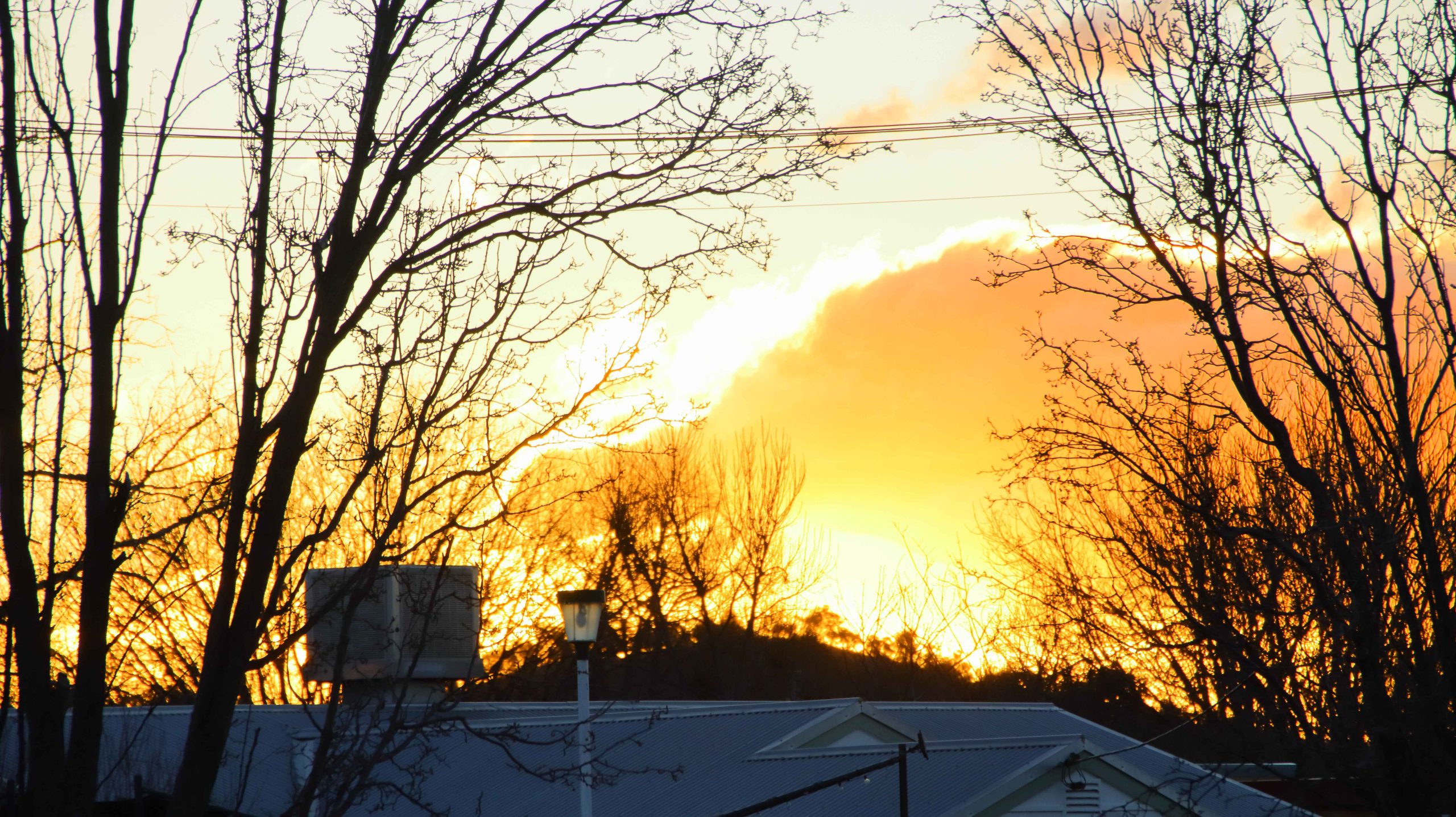
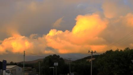
Sunset at Coonabarabran NSW.
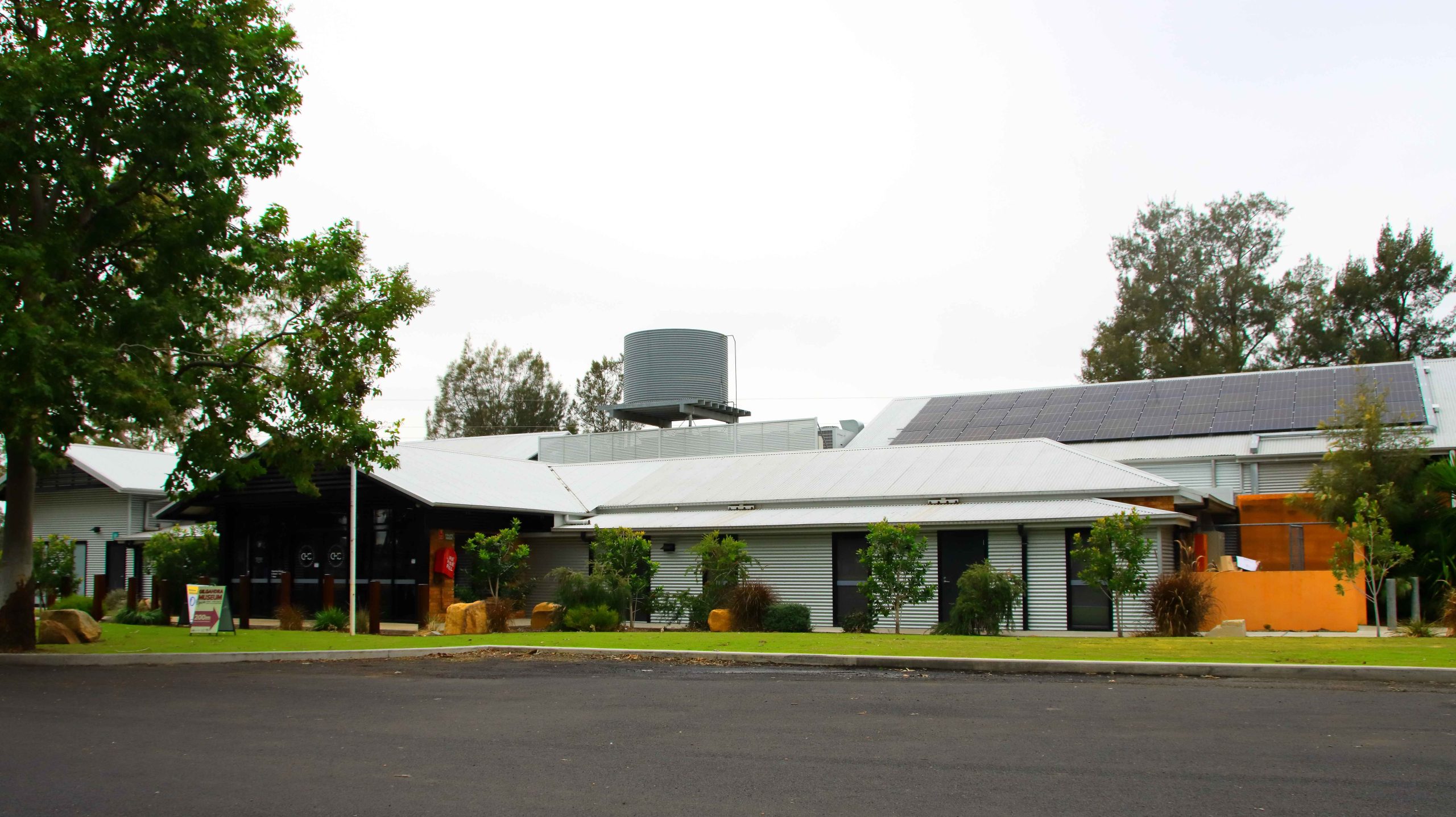
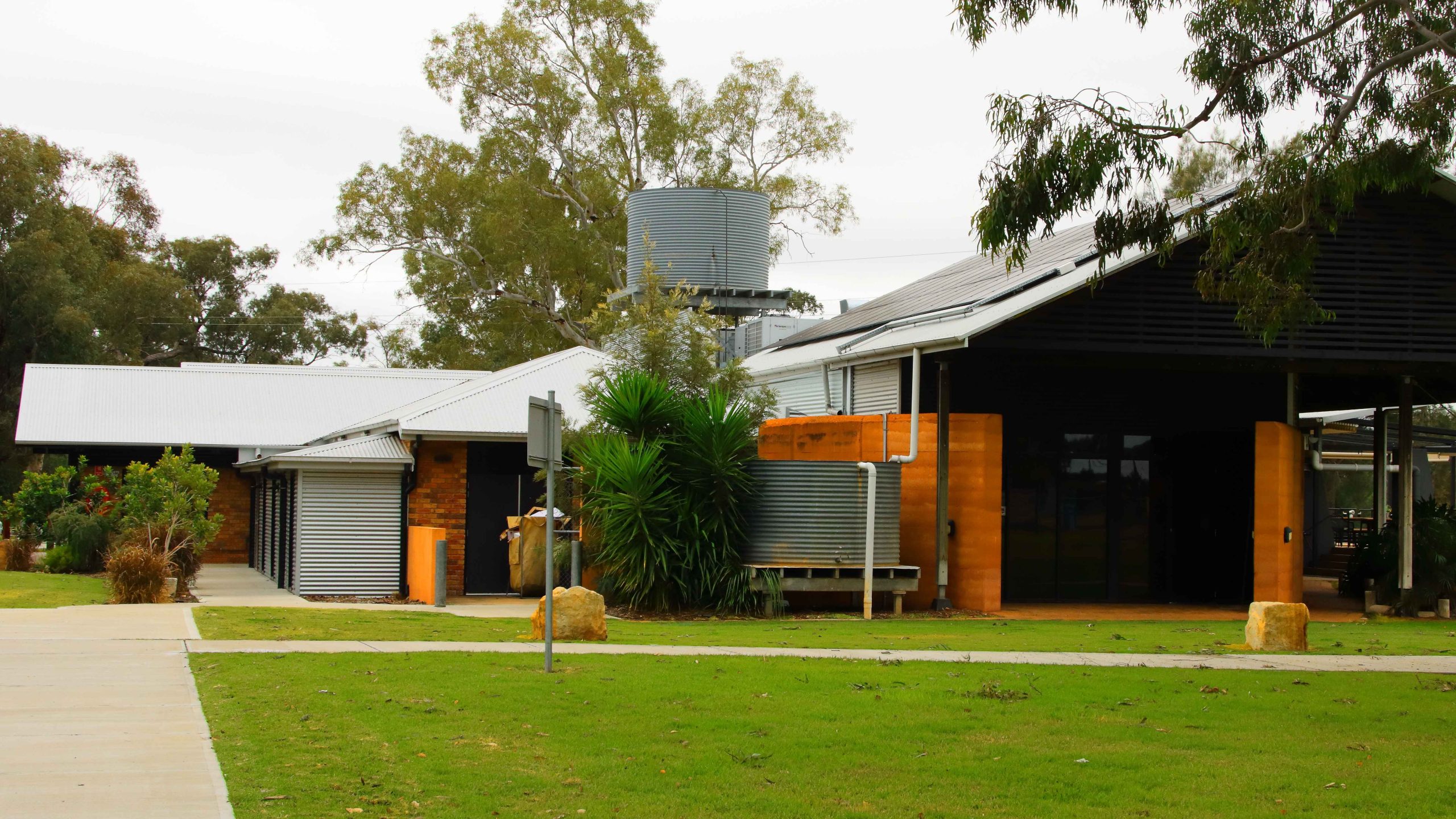
Cooee Information Centre, Gilgandra NSW
Cooee Information Centre, Gilgandra NSW
Cooee Information Centre, Gilgandra NSW
Cooee Information Centre, Gilgandra NSW
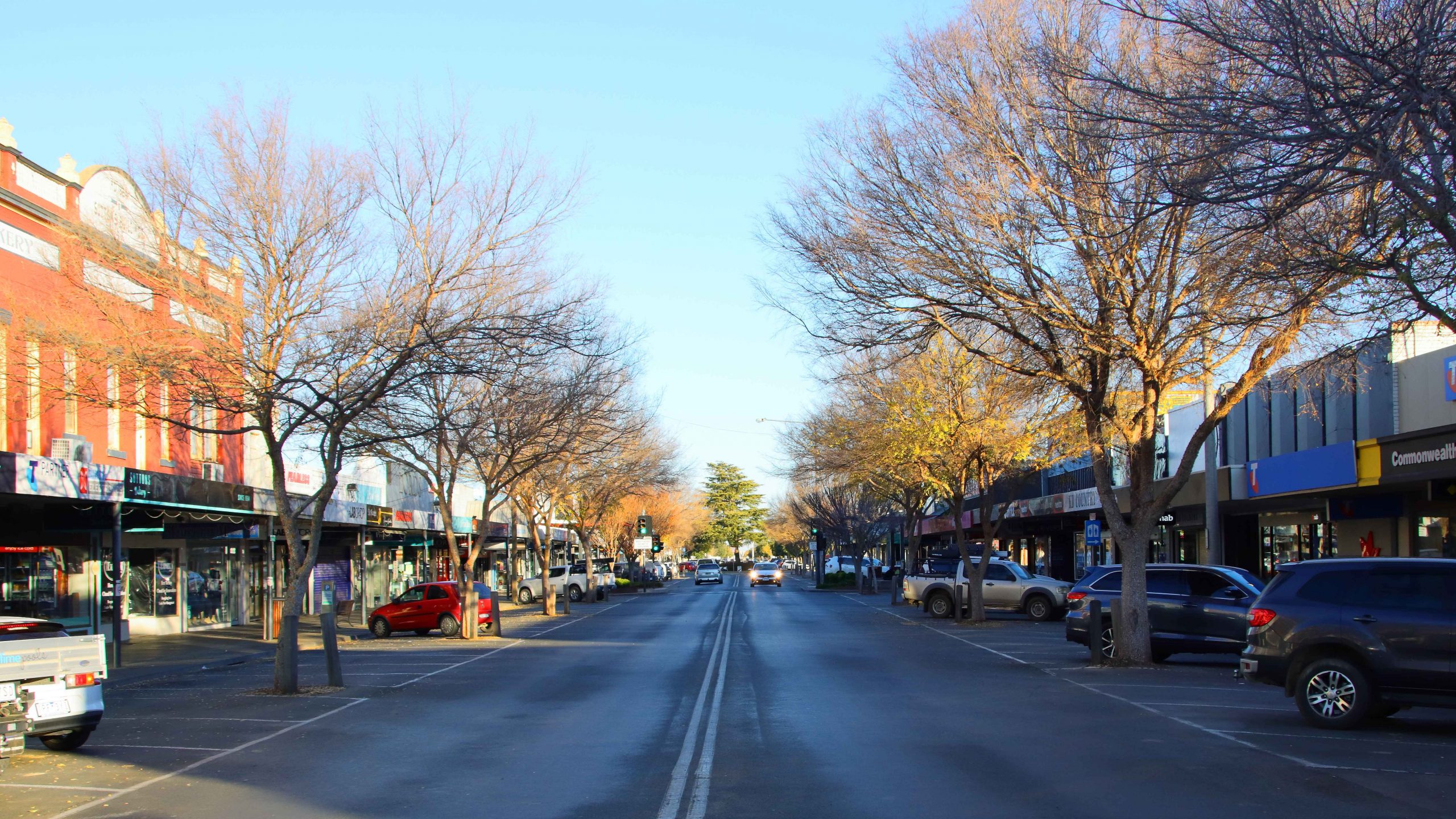
Deniliquin
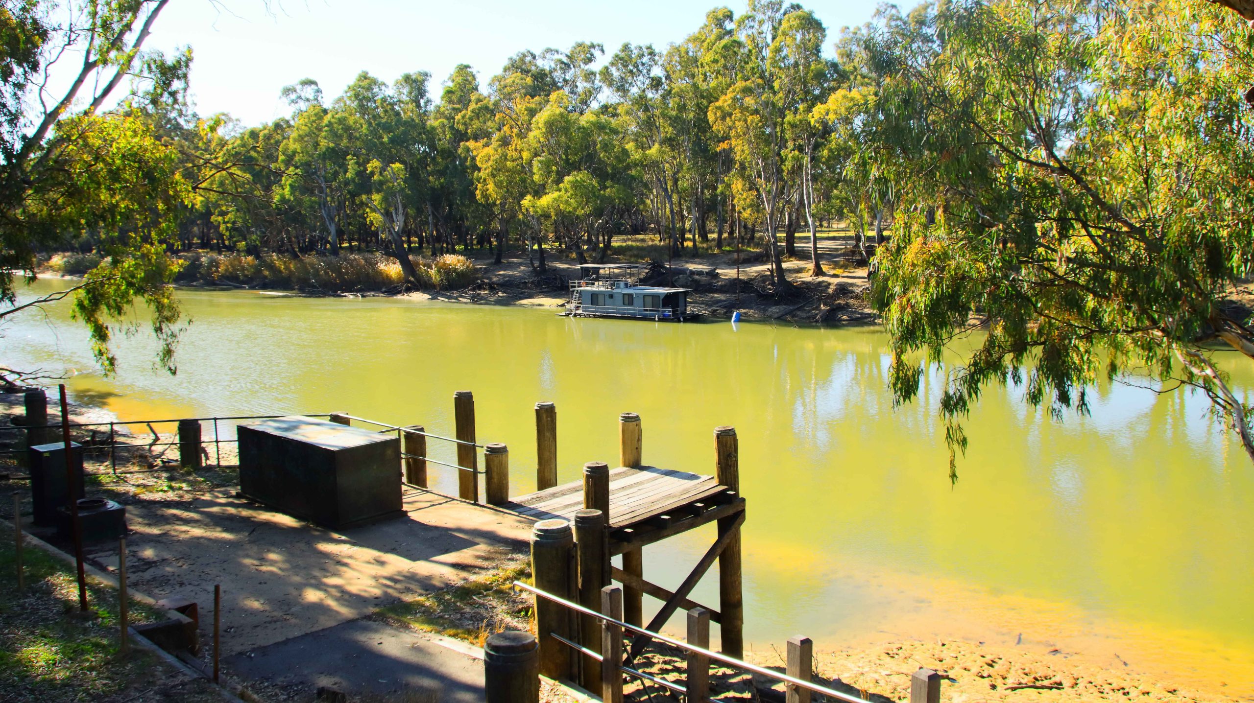
Landing, Edwards River,Deniliquin NSW
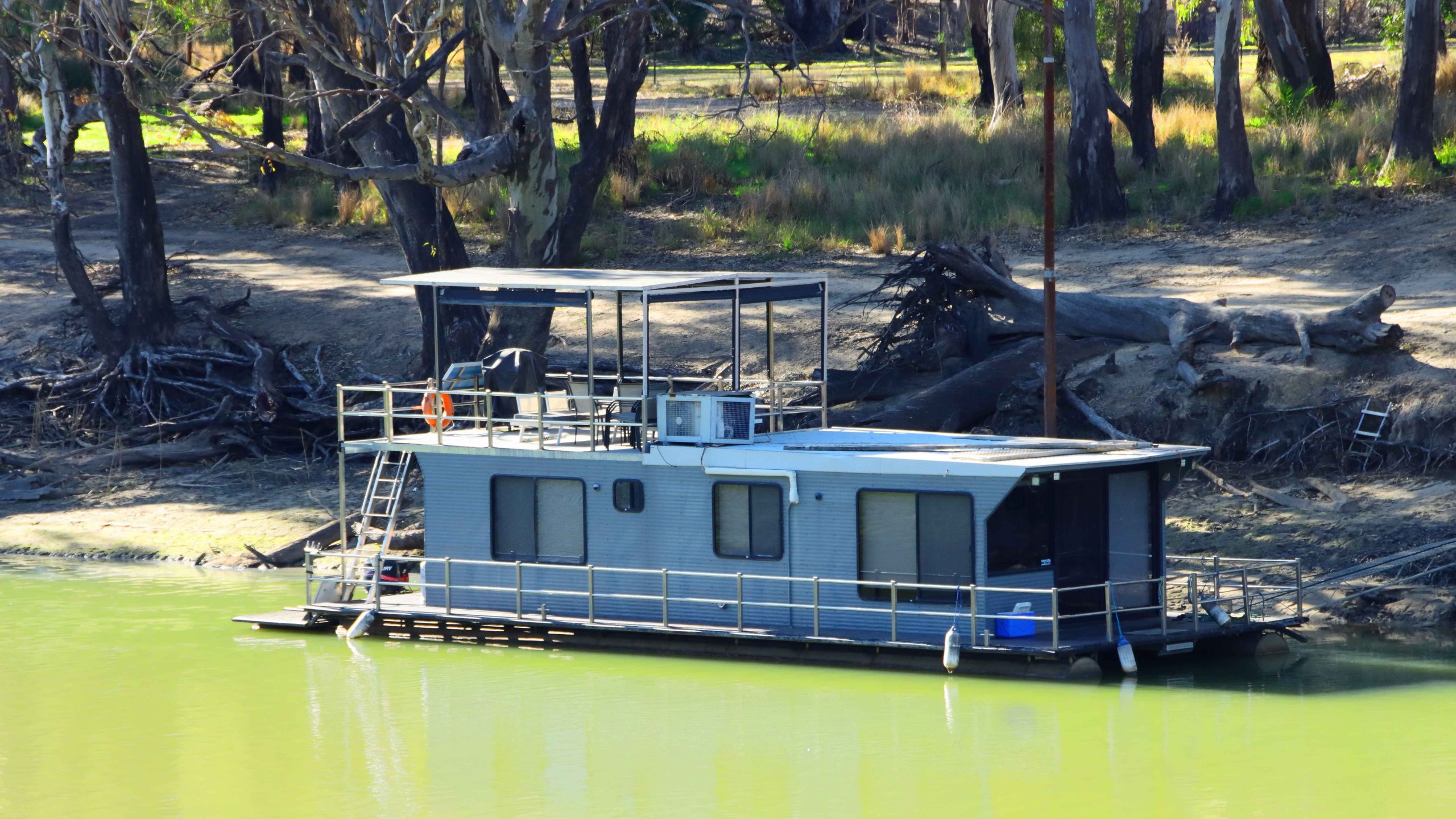
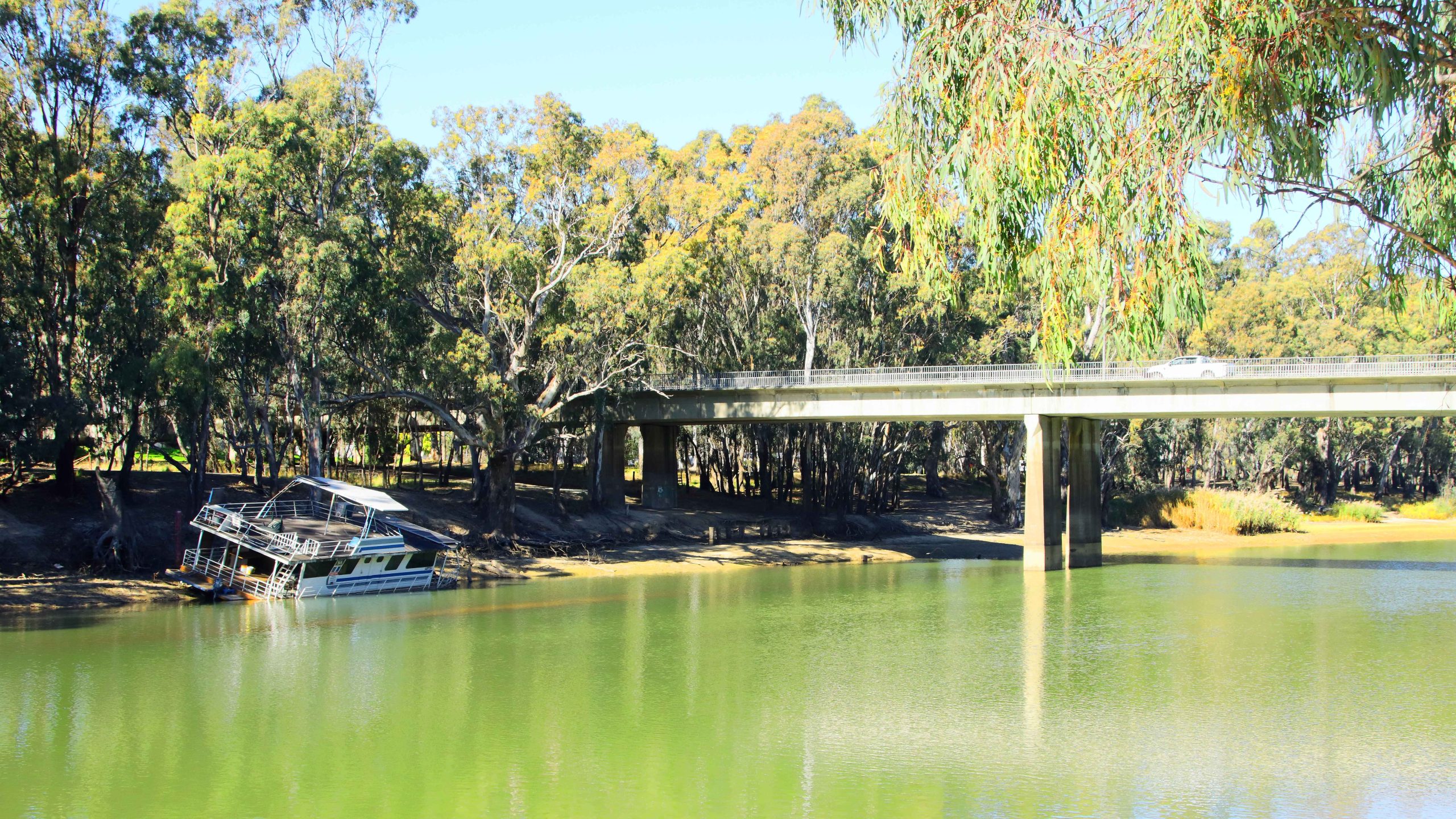
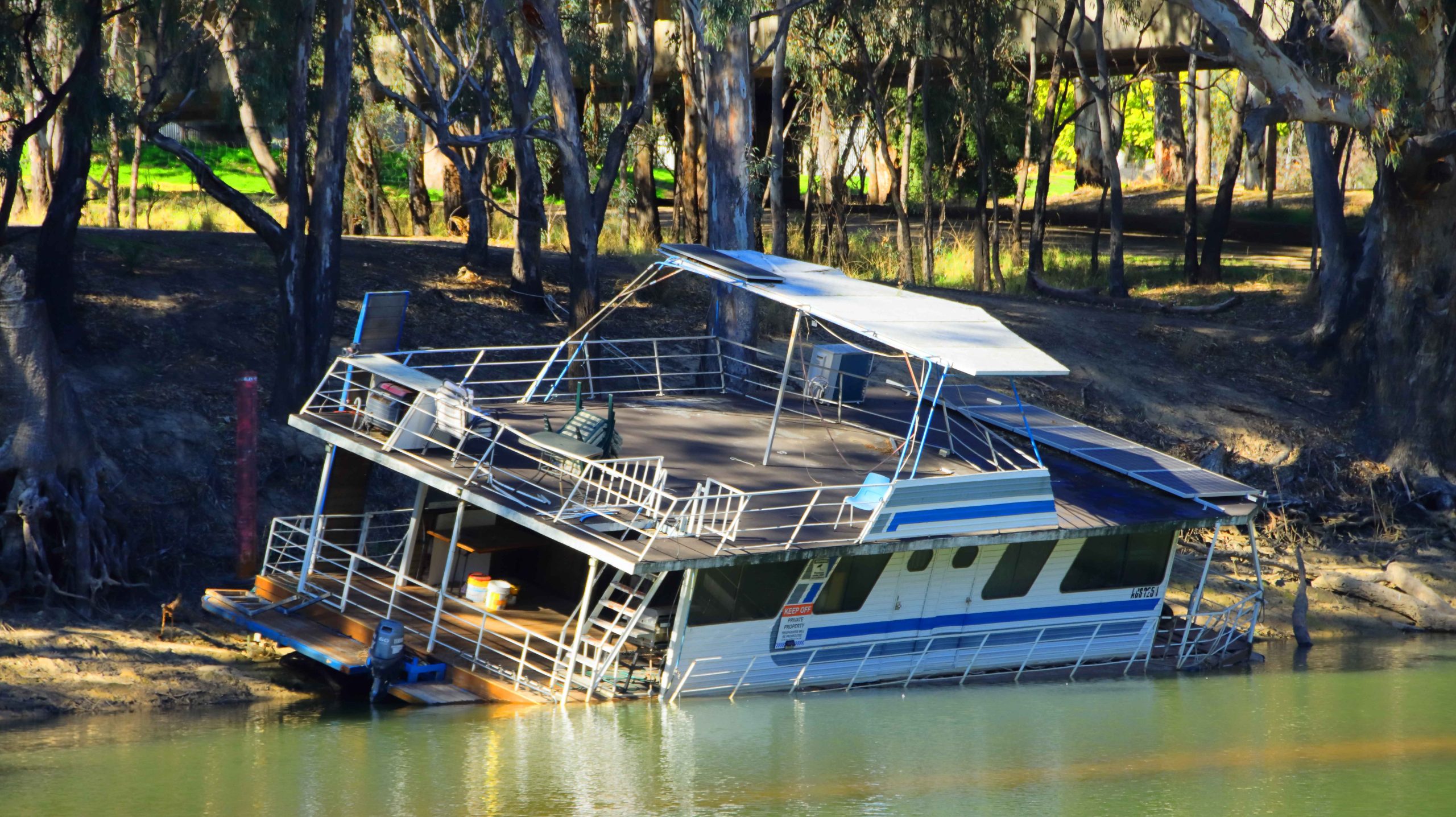
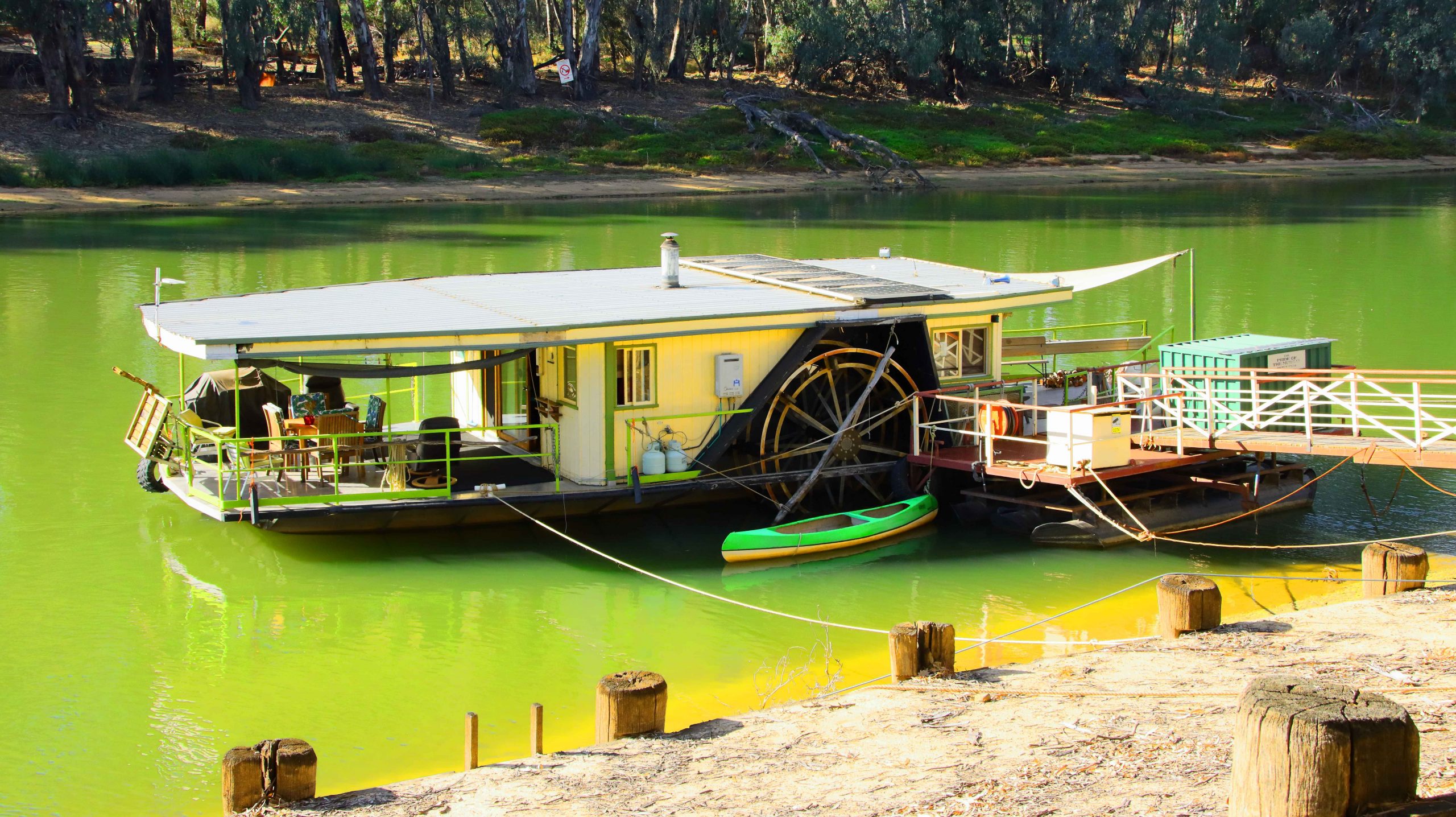
Houseboat, Edwards River, Deniliquin NSW
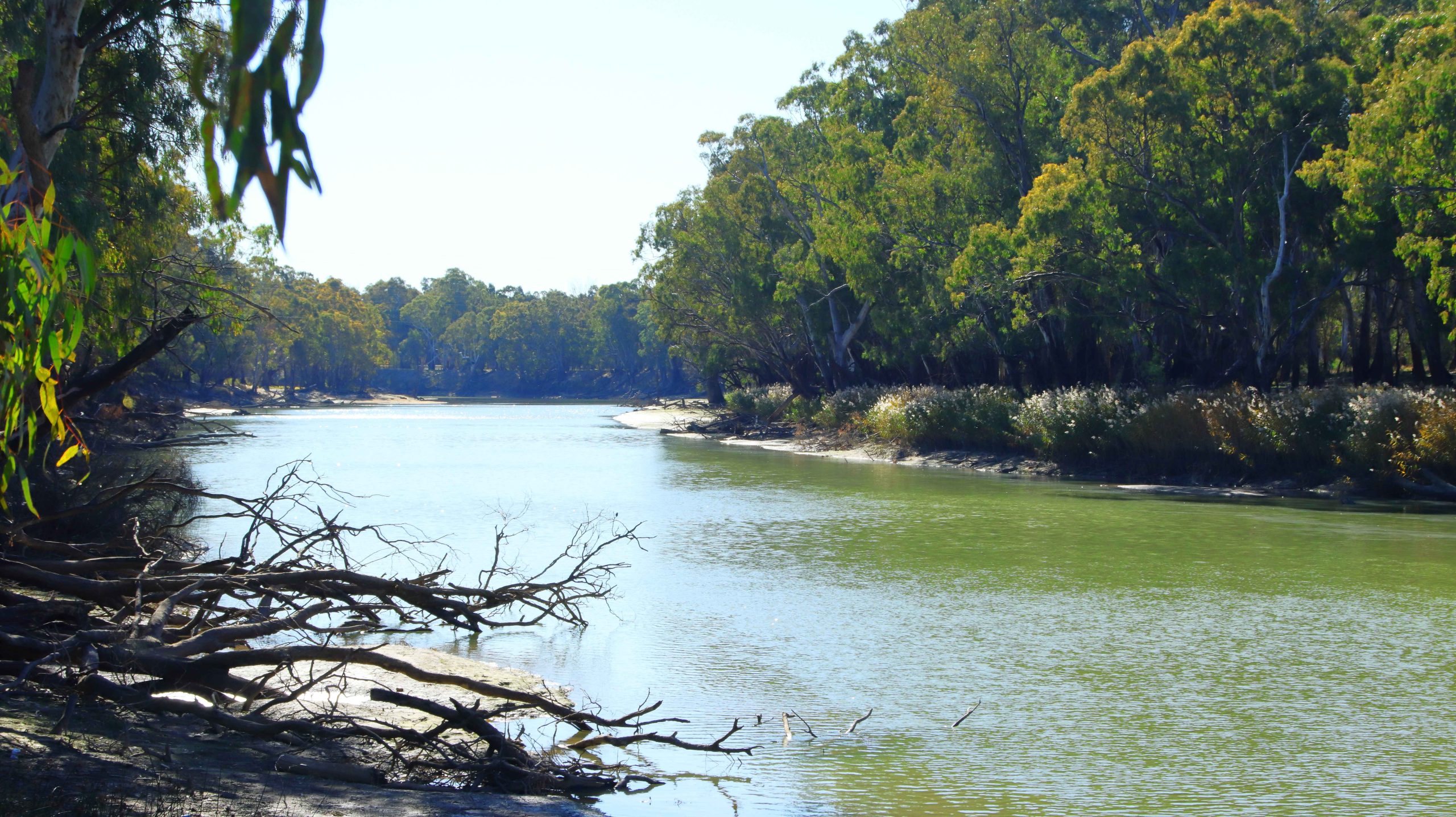
Edwards River, Deniliquin NSW
Bridge on Edwards River, Deniliquin NSW
Beached River Boat, Deniliquin NSW
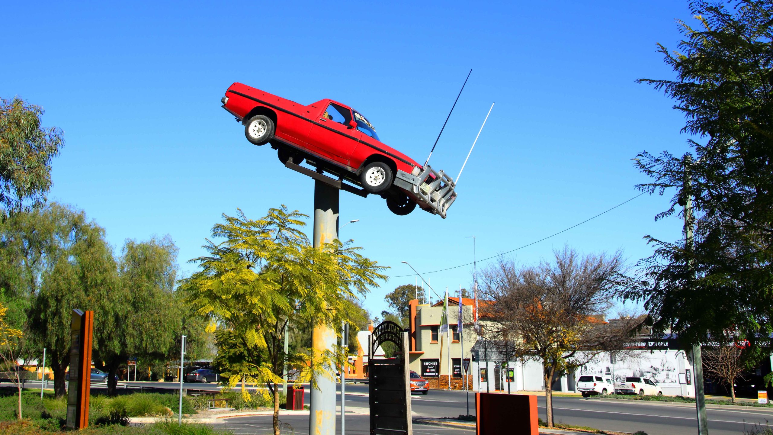
Utility Muster Sign, Deniliquin, NSW
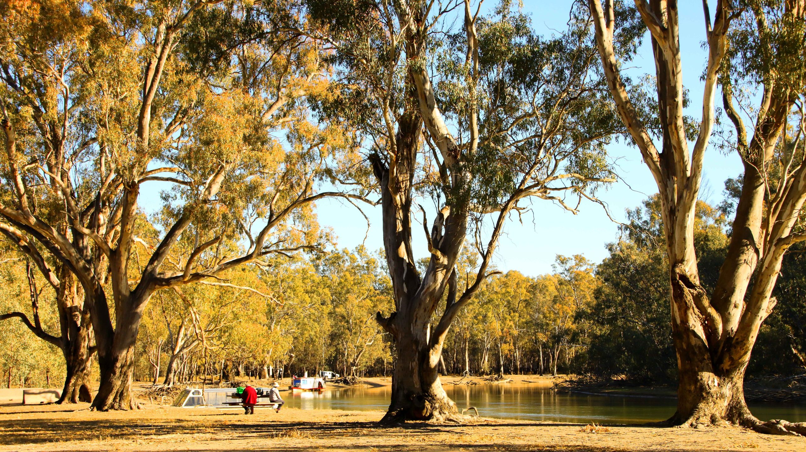
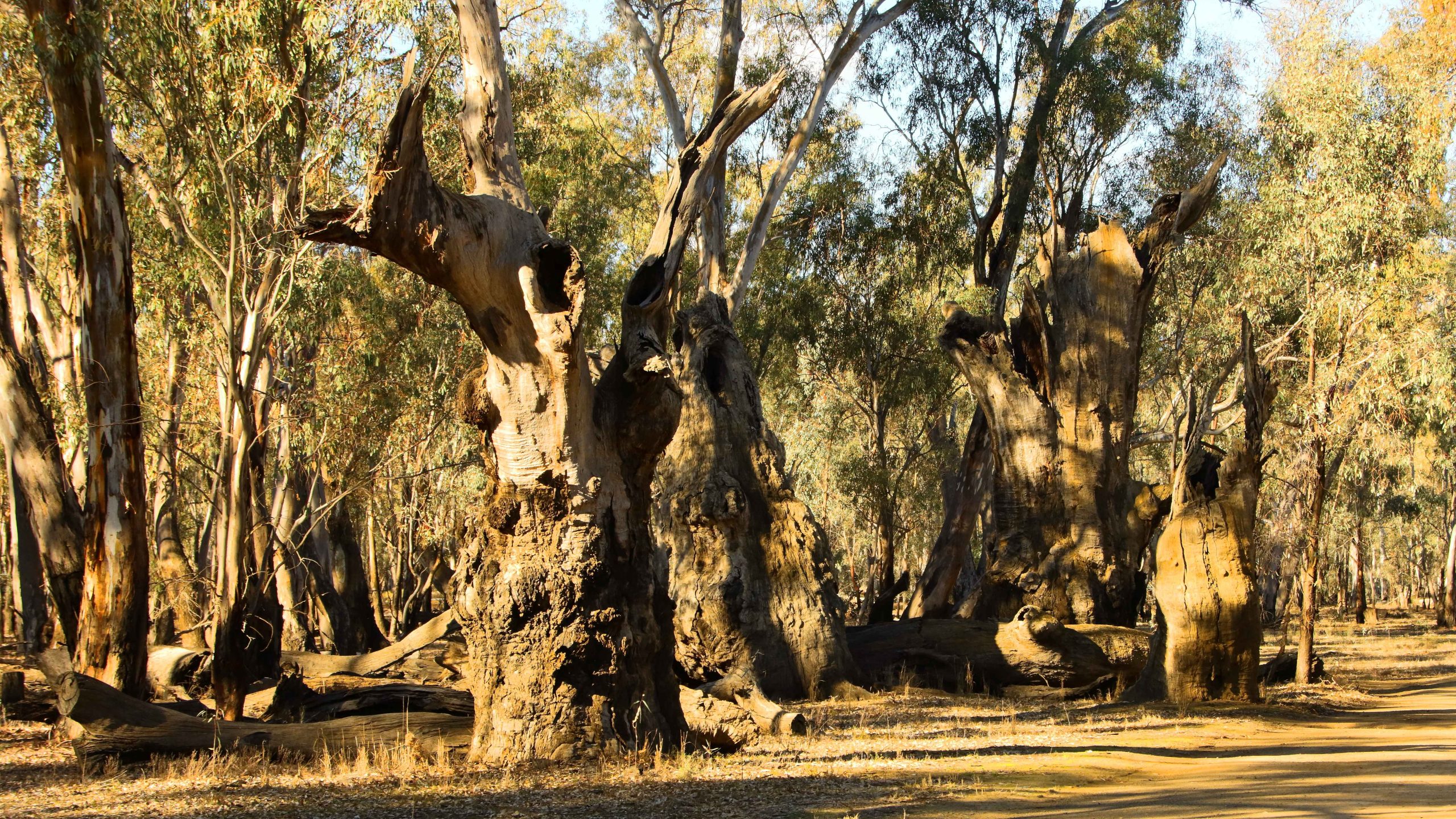
Barmah National Park
Forest Flood Plains, Barmah National Park, Near Echuca
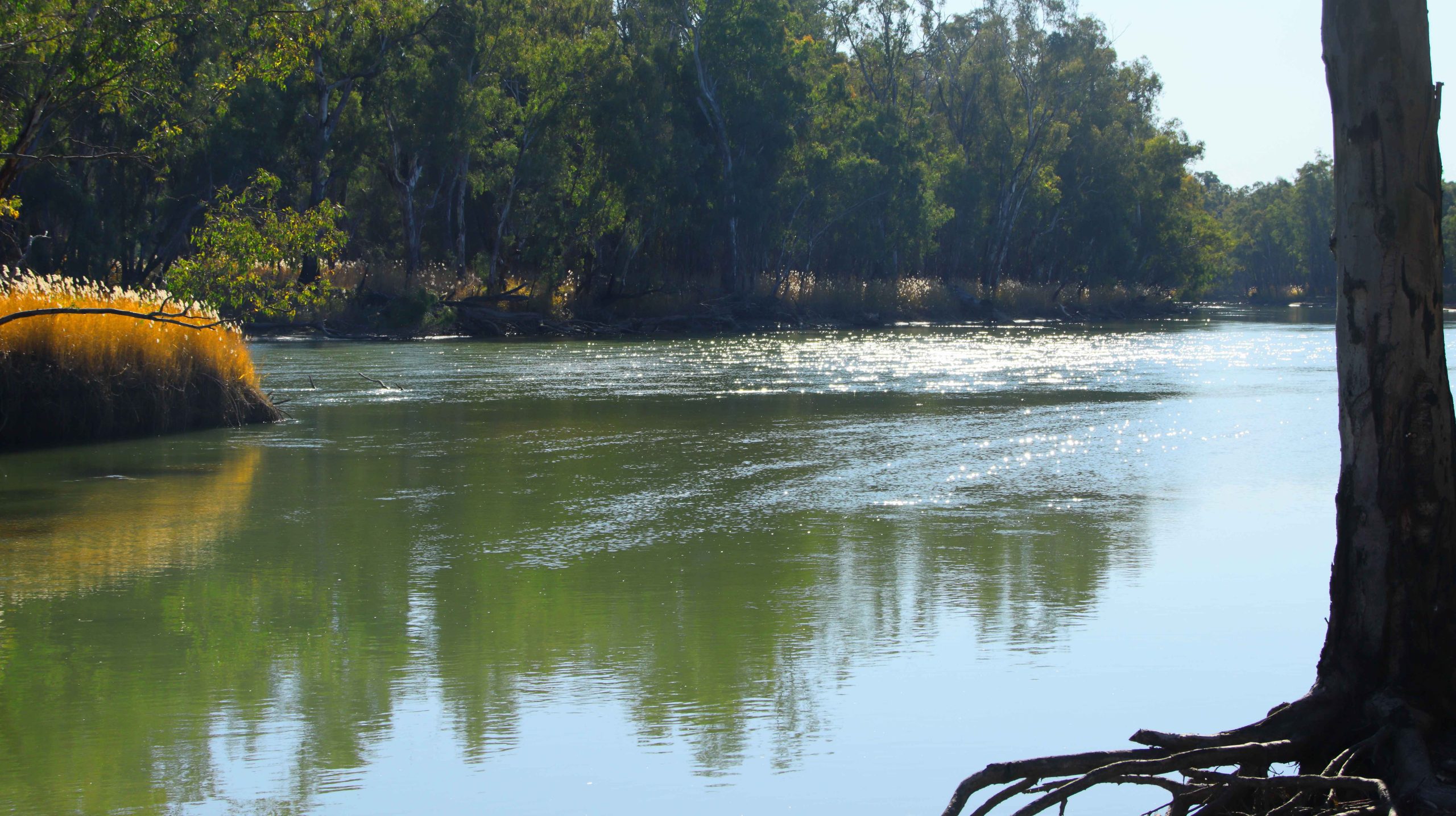
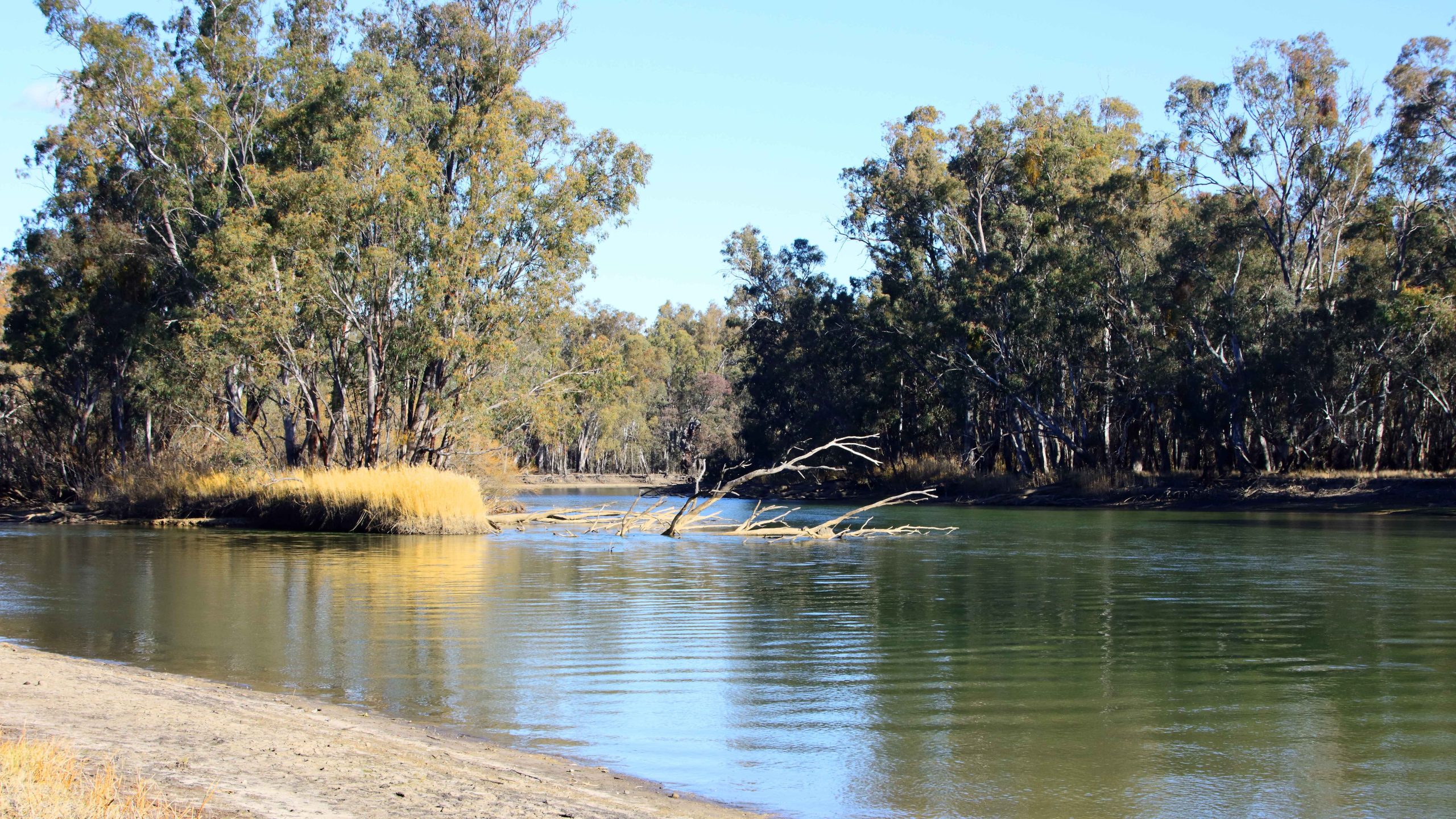
Murray River, Barmah National Park, Near Echuca
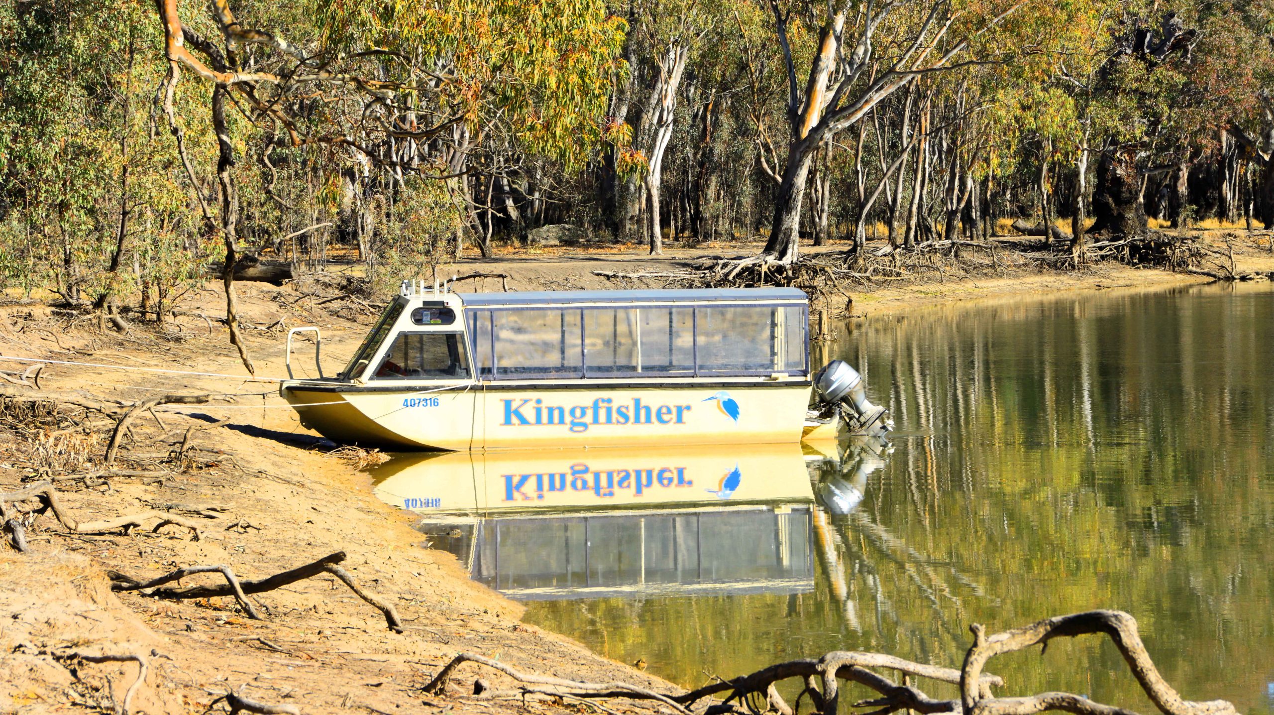
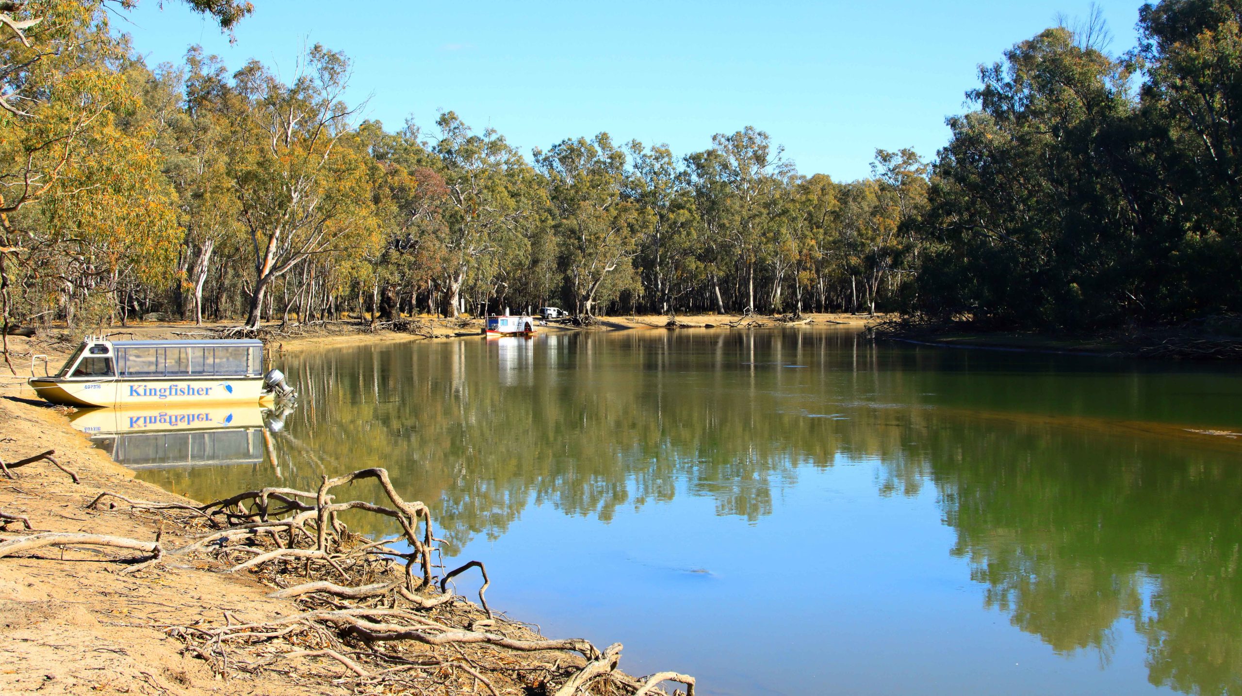
Lake Cruise Boat, Murray River, Barmah National Park, Near Echuca
Lake Cruise Boat, Murray River, Barmah National Park, Near Echuca
Murray River, Barmah National Park, Near Echuca
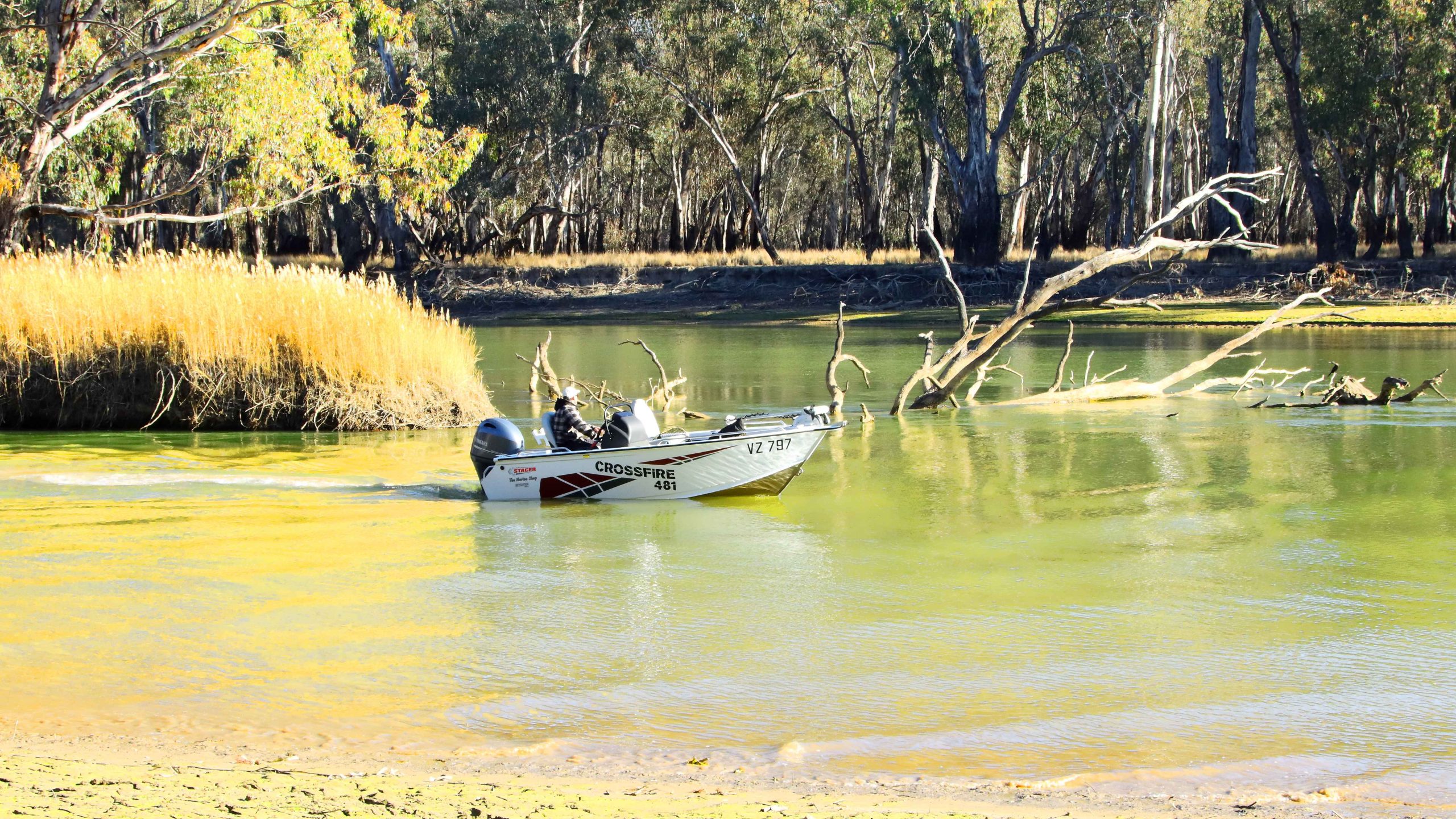
Powerboat Navigating Shallow Water, Murray River, Barmah National Park, Near Echuca
Murray River, Barmah National Park, Near Echuca
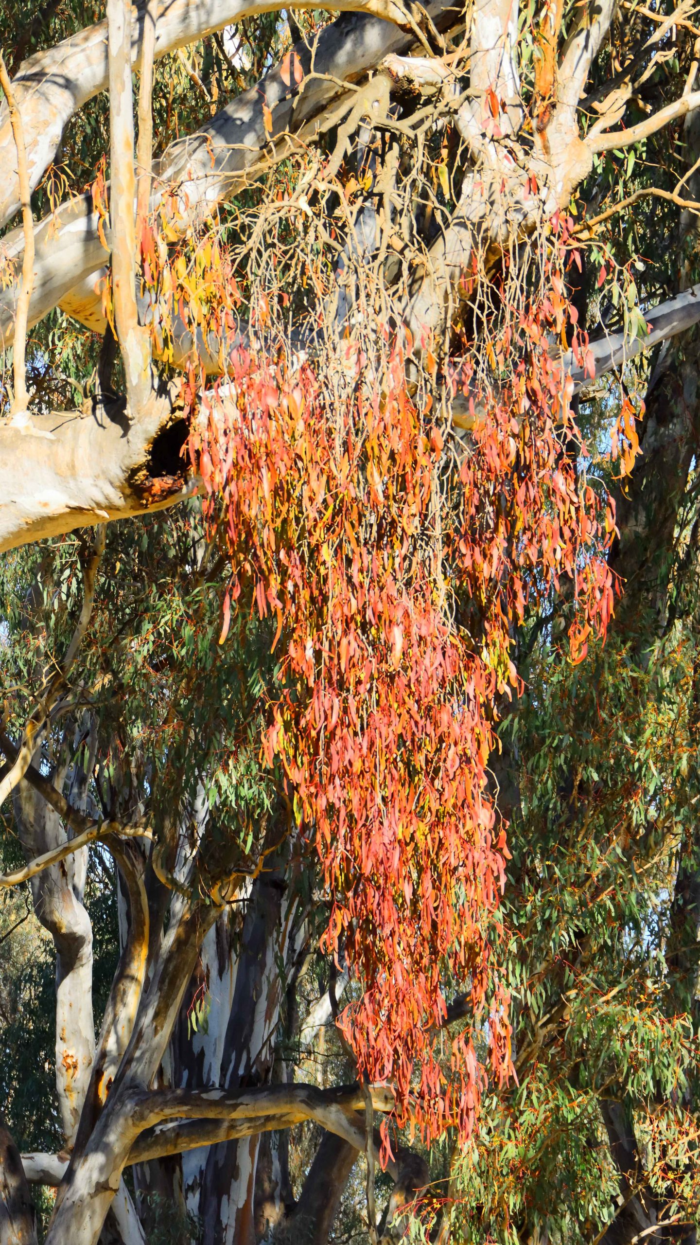
Mistletoe, Murray River, Barmah National Park, Near EchucaMurray River, Barmah National Park, Near Echuca
Mistletoe, Barmah National Park near Echuca
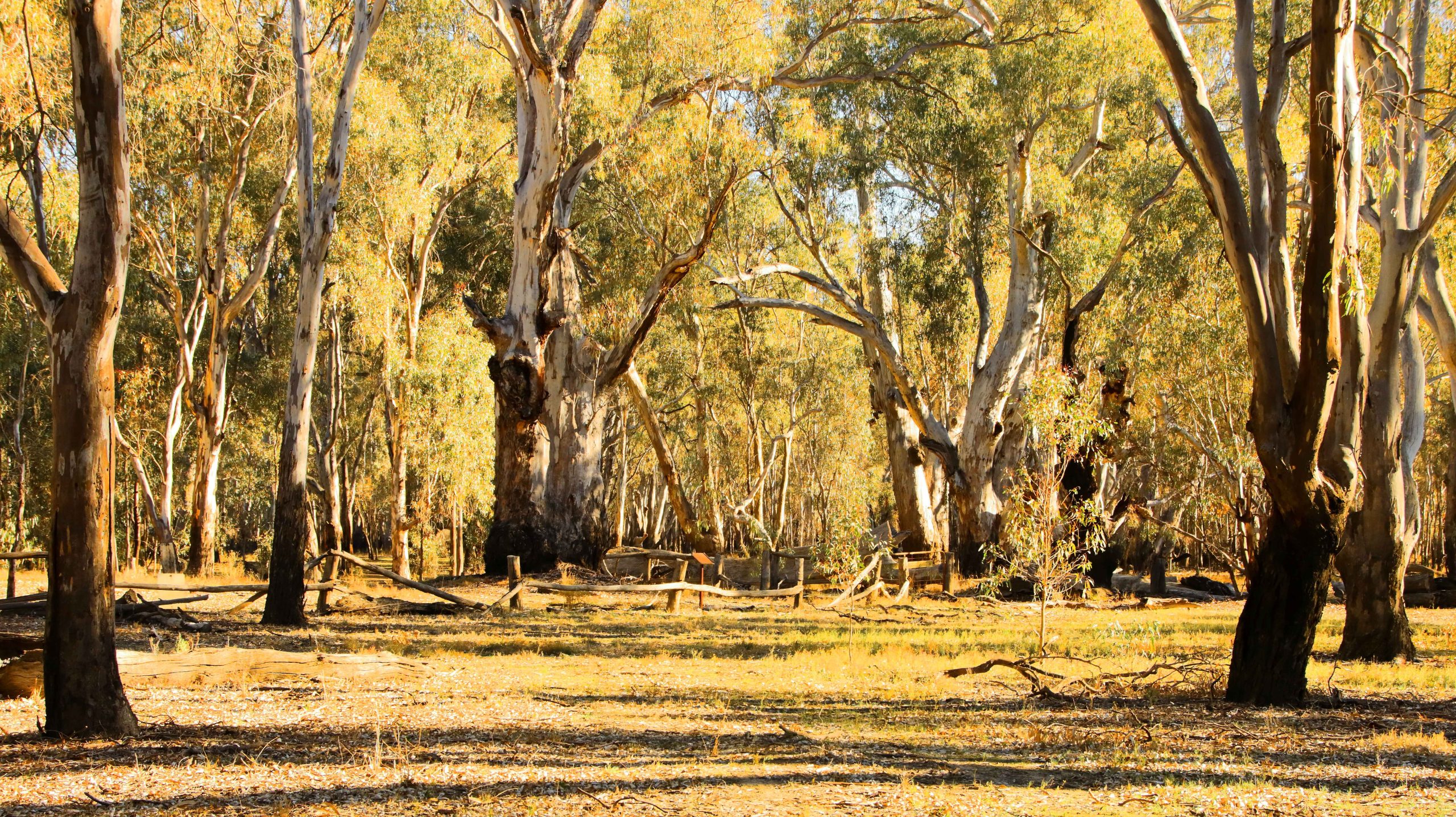
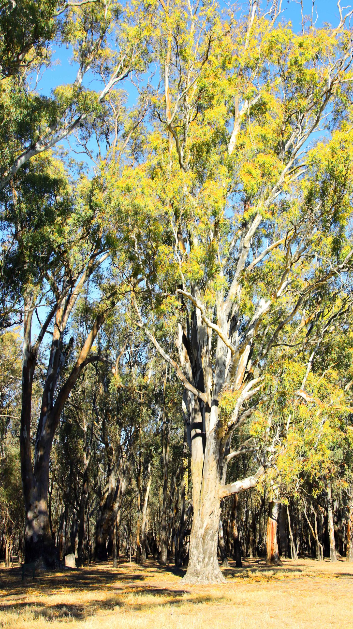
Murray River, Barmah National Park, Near EchucaRiver Red Gums. Barmah National Perk near Echuca,
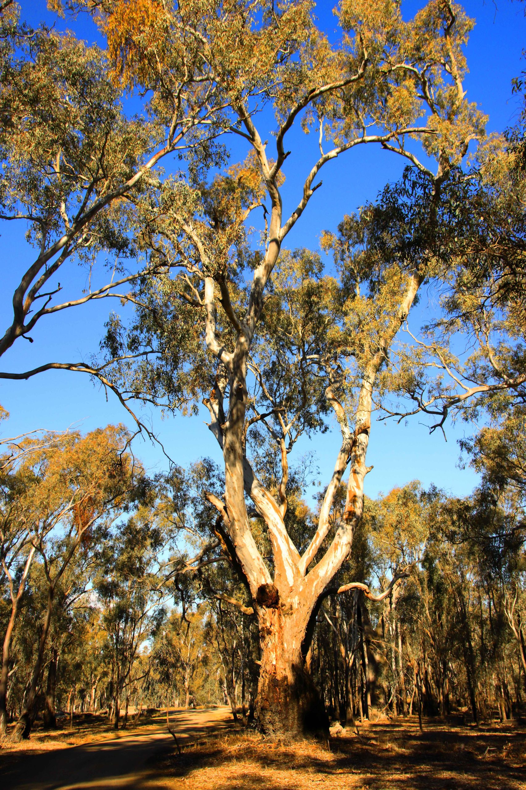
A River Red Gum in the Barmah National Park near Echuca
Boat Mooring Area, Barmah National Perk near Echuca,River Red Gum Stumps, Barmah National Perk near Echuca,
River Red Gum, Barmah National Perk near Echuca,
River Flood Plains, Barmah National Perk near Echuca,River Red Gum Stumps, Barmah National Perk near Echuca,
In our caravanning days, one rule was that we avoided the south east of Australia during the colder months. Anywhere, south of Brisbane was out of bounds.
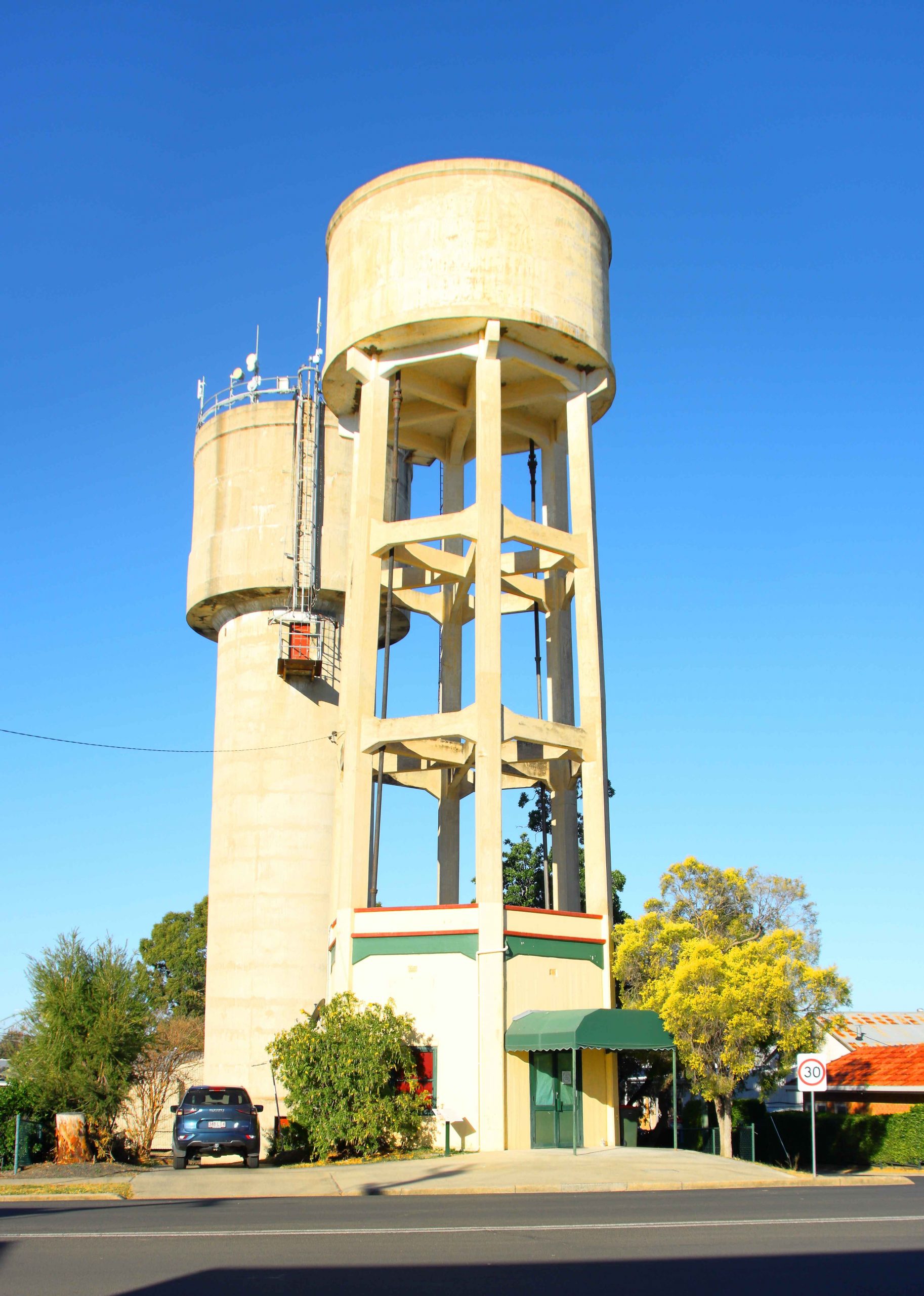
The Goondiwindi water pressure tower was near to our motel.
So our decision to visit my siblings in Gippsland was taken with much thought, but finally decided on reluctantly. We have been gone from being residents of Melbourne for more than forty years, so we do not like cold weather at all.
But my one and only sister has recently been moved into care and seemed to be making hard work of it, so we decided to make the trip south. For additional incentive our plans included a call on Ruth’s debilitated younger brother at Bowral in the NSW Southern Highlands and to catch up with our younger daughter in Sydney, but only for dinner.
We set off on 1st July via the Warrego Highway and the Toowoomba Bypass, stopping in for lunch at Millmerran. Shortly after getting back on the road, we were held up by a tourist having laid their caravan on its side on the shoulder of the road. Problem free from there on. The Gore Highway had been improved since we last used it. Busy too, with trucks and caravans, mostly going towards Toowoomba.
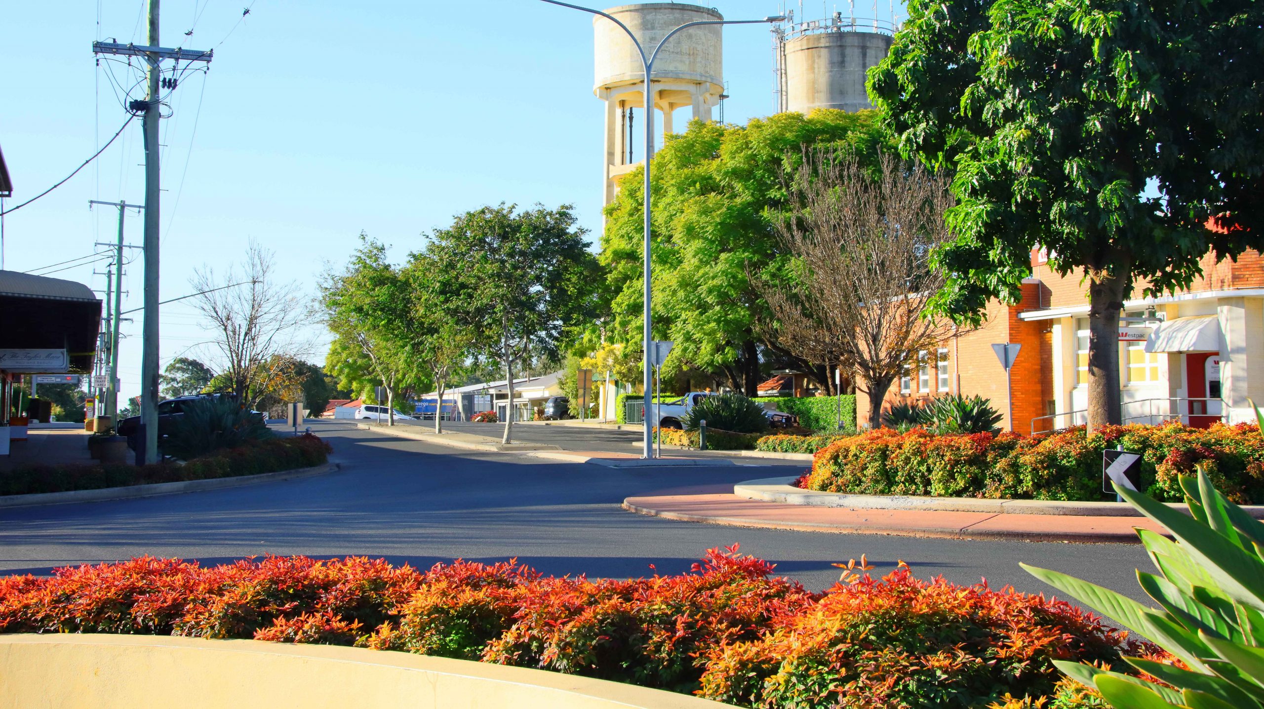
Part of the Goondiwindi CBD
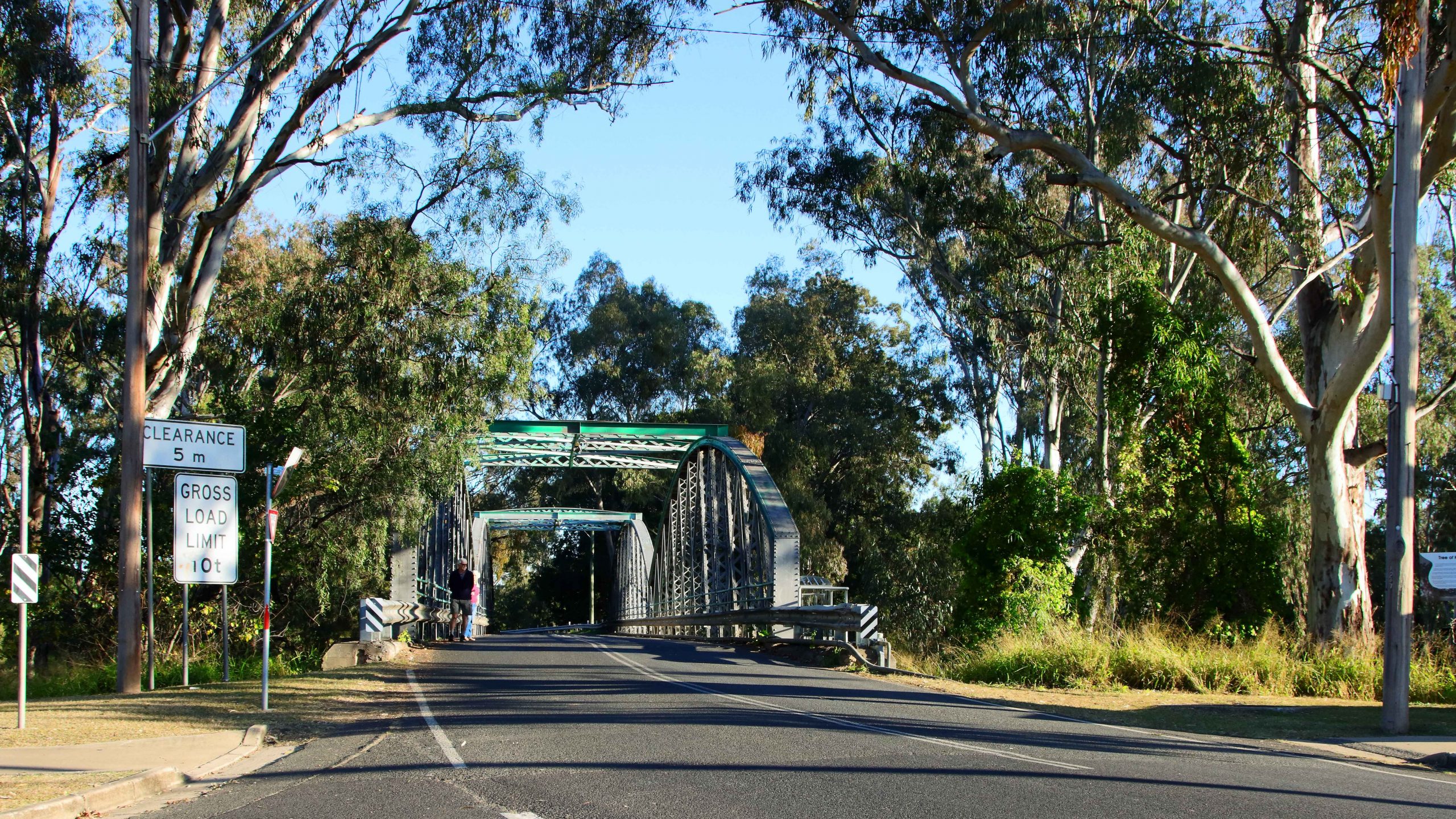
This bridge over the Macintyre River leads to NSW and used to be the main crossing between the two states.
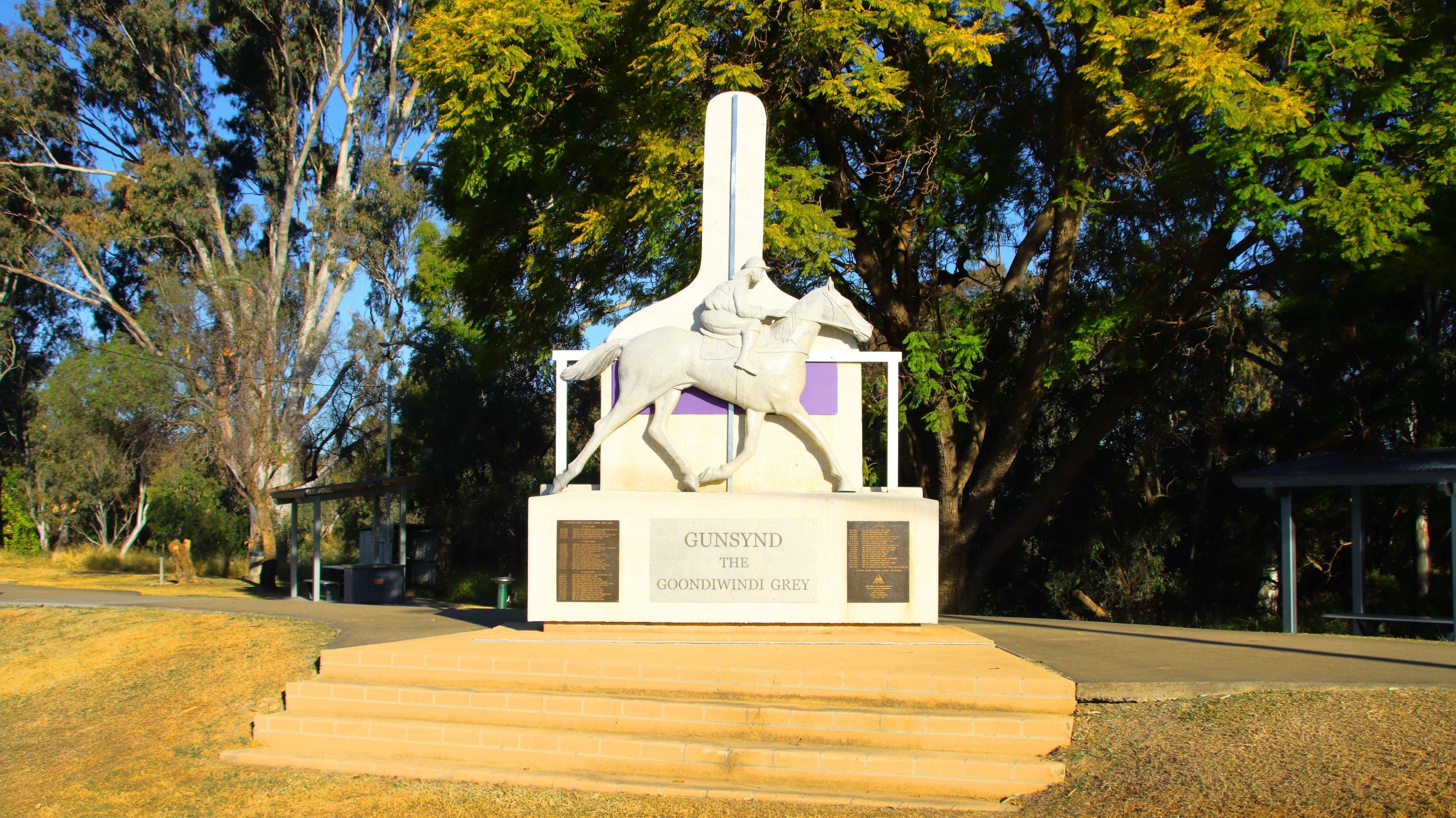
A memorial on the bank of the Macintyre to champion racehorse Gunsynd, known as “THe Goondiwindi Grey”.
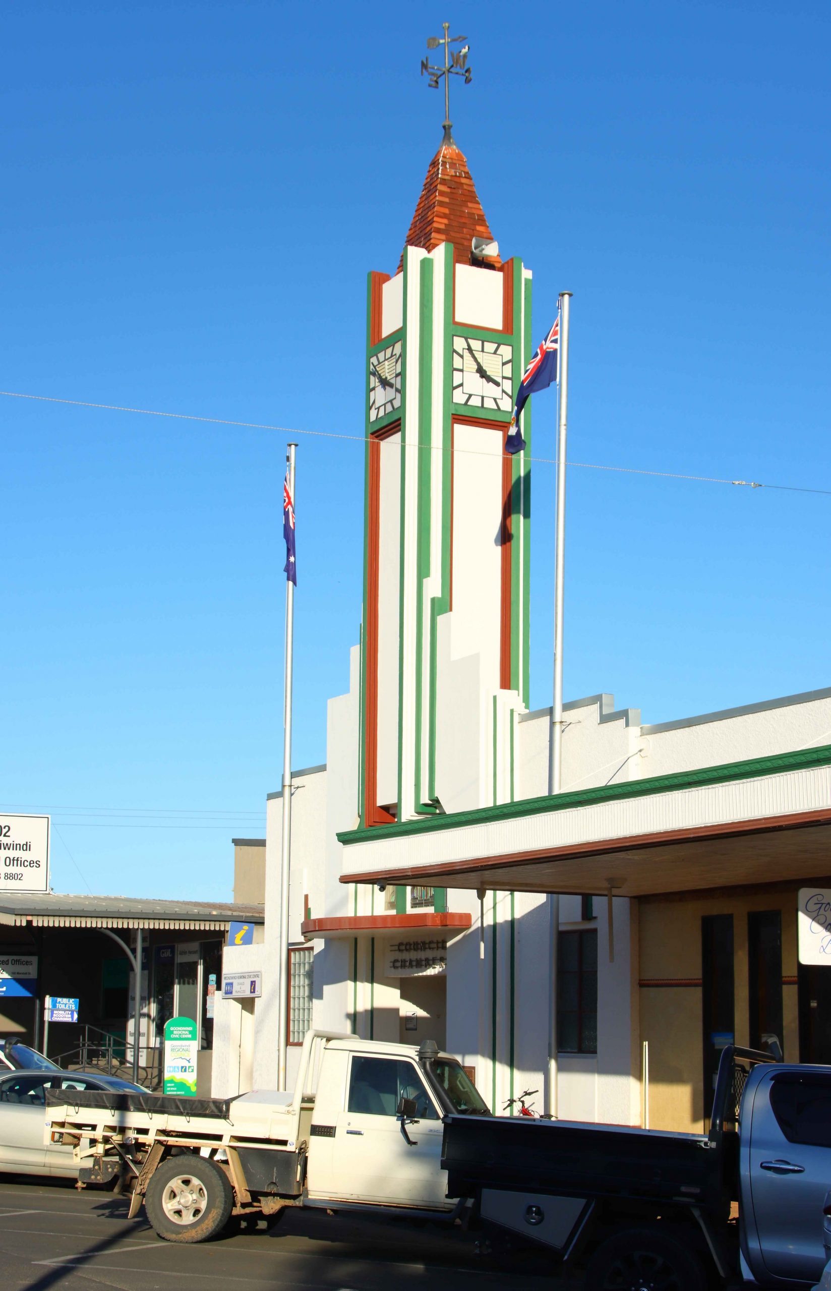
Goondiwindi’s main street clock tower.
A mid-afternoon arrival at our Goondiwindi accommodation. The timing allowed me to do an afternoon walk with my camera, through the central town area and to explore the area near the Macintyre River. Goondiwindi is a substantial town with a population of around ten thousand people.
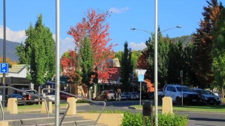
Day two was a run along the Newell Highway with the overnight stop at Coonabarabran. By the time that we booked into our motel the evening chill had set in, so I squibbed on a walk and stayed inside in the warm motel room instead.
As a concession to advancing age we had broken the trip into shorter daily distances. Our third night was at West Wyalong. We took a break in Gilgandra at the historic Coo-ee Heritage and Information Centre, built to commemorate the start of the famous World War 1 recruiting march that commenced in Gilgandra and concluded at the recruiting office in Sydney. Lunch at Parkes, shopping at Forbes and the night at West Wyalong.
The Coo-ee Heritage and Information Centre at Gilgandra.
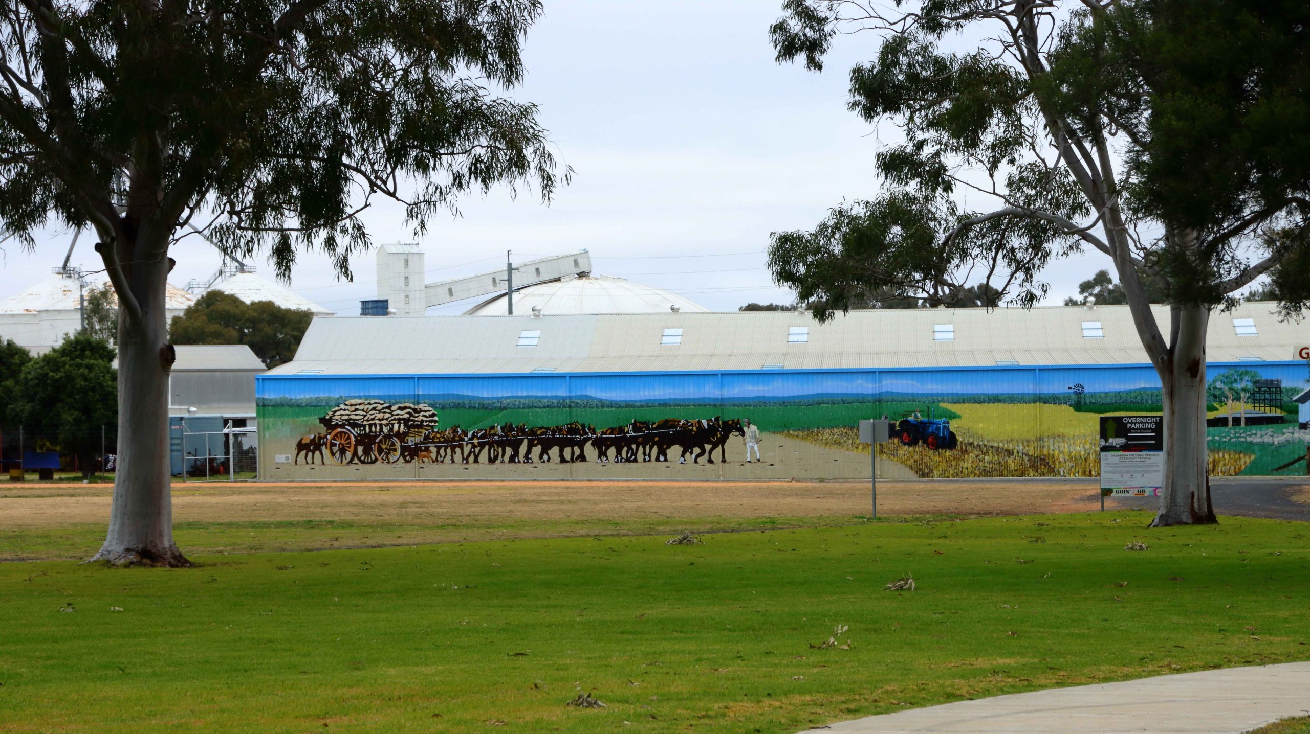
A muraL at the Coo-ee Centre almost appears to be part of the landscape.
The Edwards River at Deniliquin.
Day four took us further along the Newell Highway until we reached Jerilderie, where we turned left to reach the Cobb Highway at Deniliquin. This town, famous for its annual Utility muster, is on the Edwards River, a tributary of the Murray. Here we were introduced to paddle wheel steamer country, with examples of these historic craft and shallow draft houseboats, moored to the bank or aground on the bank of the river.
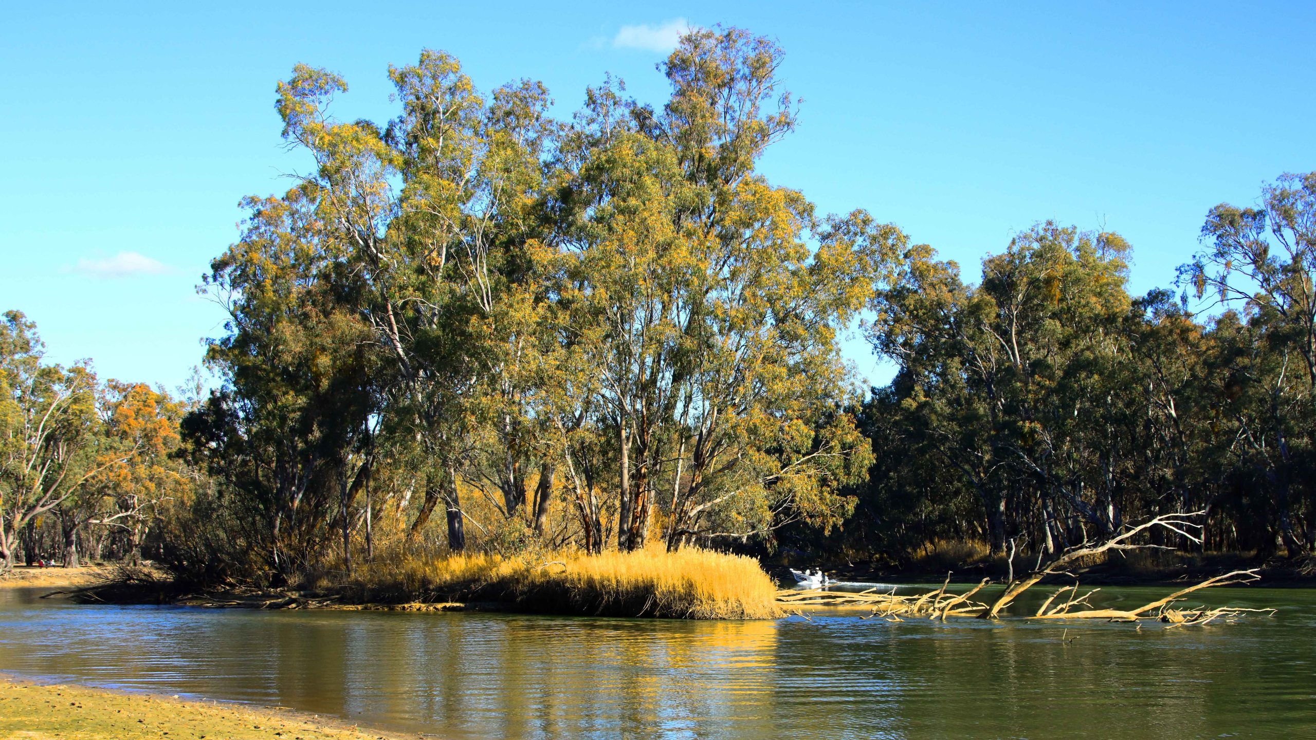
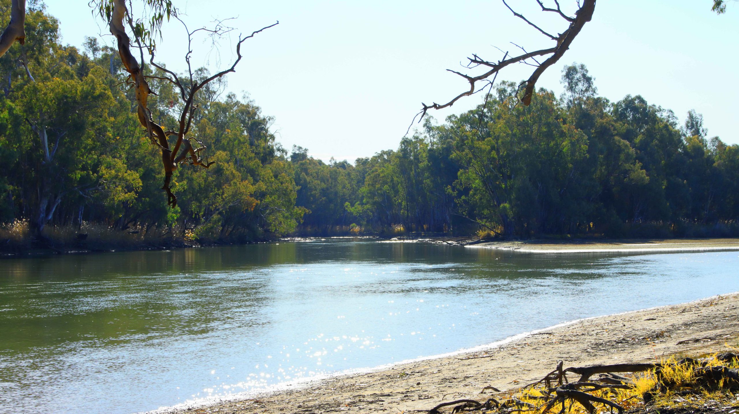
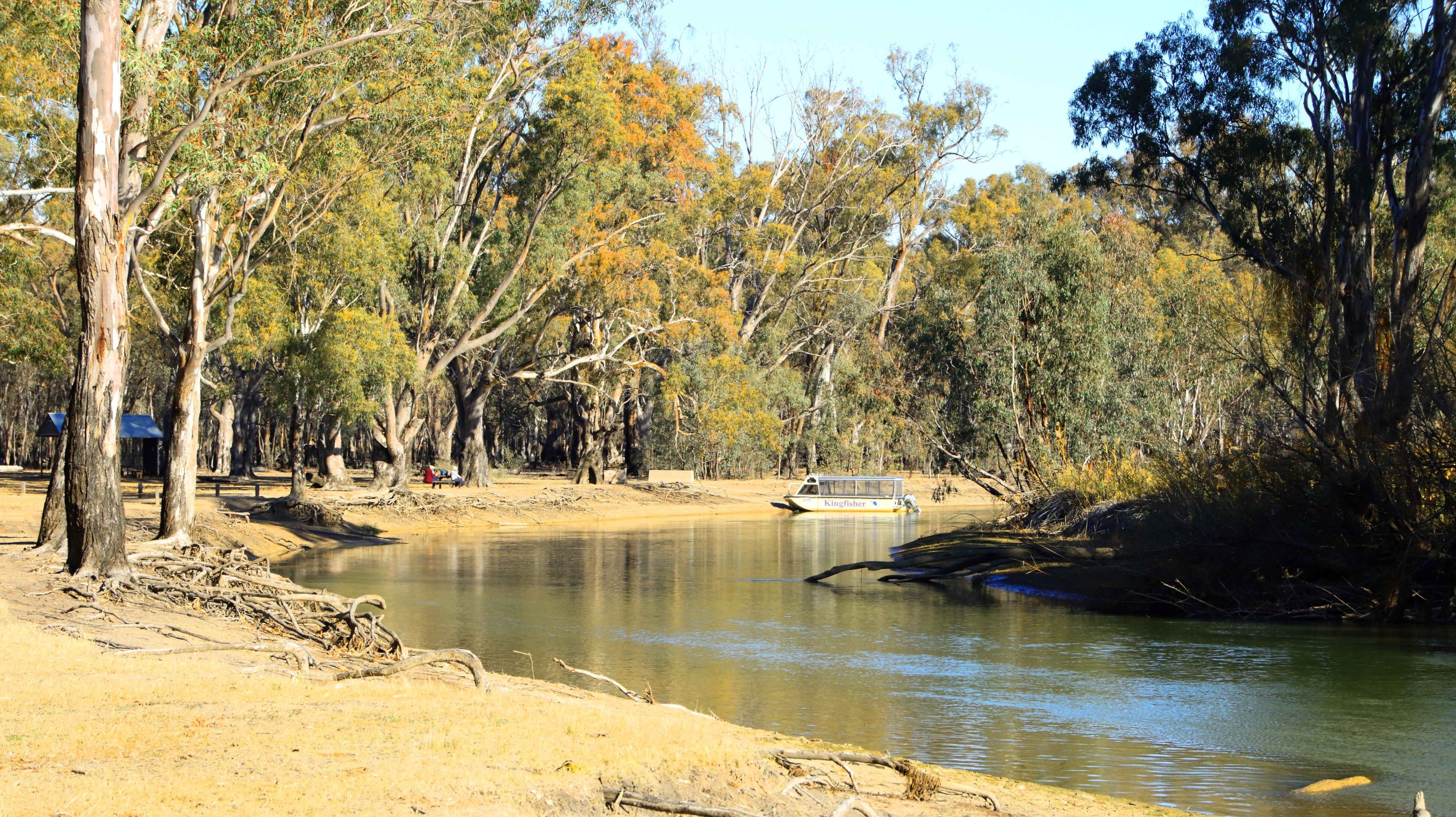
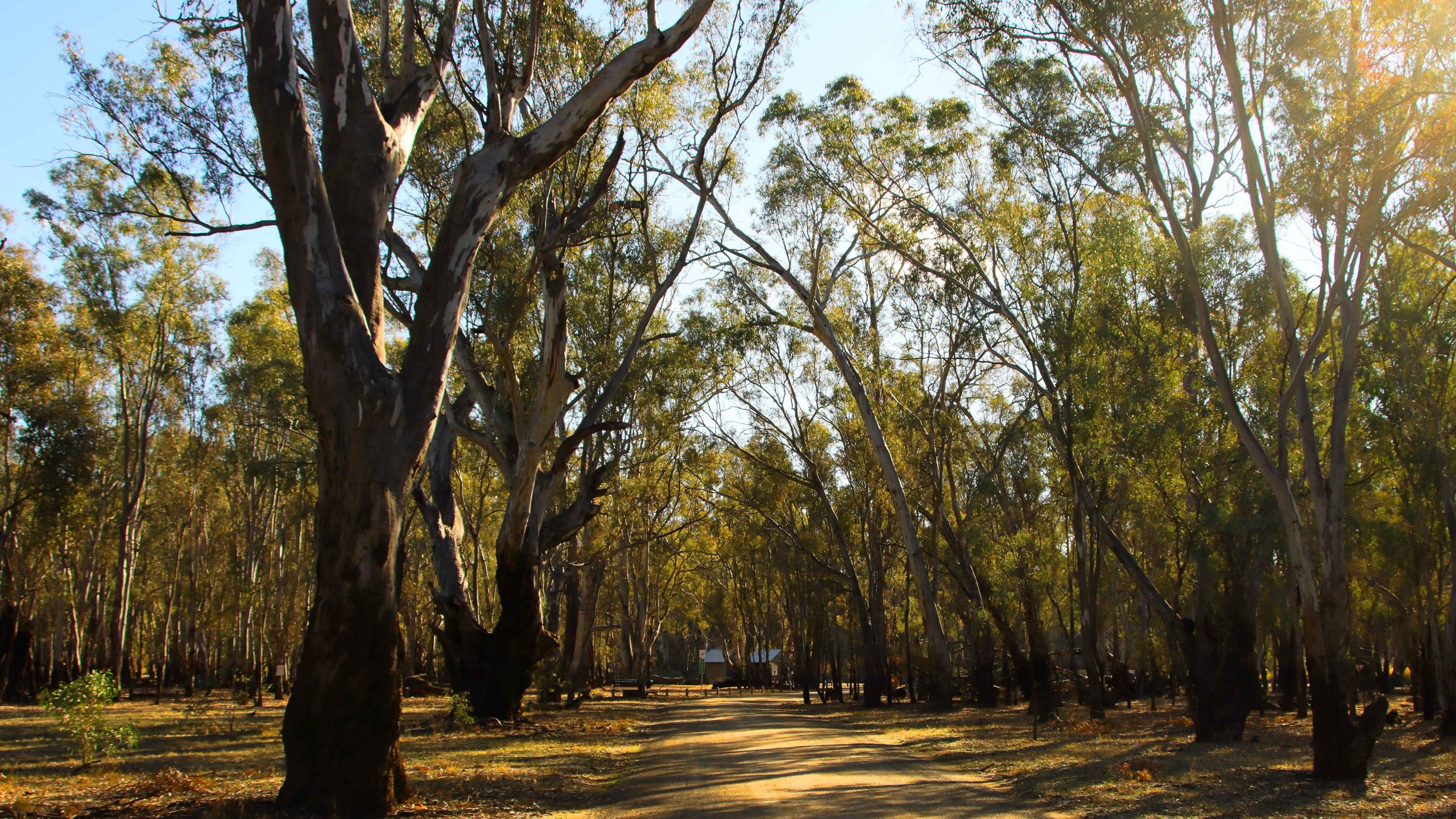
With time in hand, we decided to turn into the Barmah National Park, a lake and flood plain area on the Murray, not far from Echuca. It was on our list to visit so the call today saved us returning the next day. It is only about 20 km off the Cobb Highway.
The Deniliquin Ute Muster is held in the town annually.
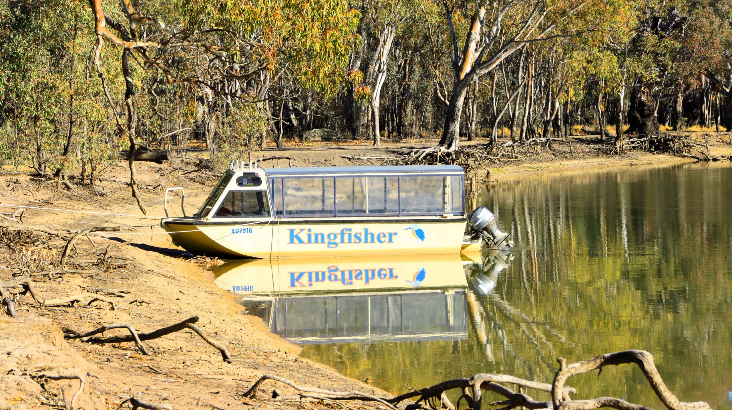
Cruises of the lakes at Barmah National Park are available.
The Murray River at Barmah National Park.
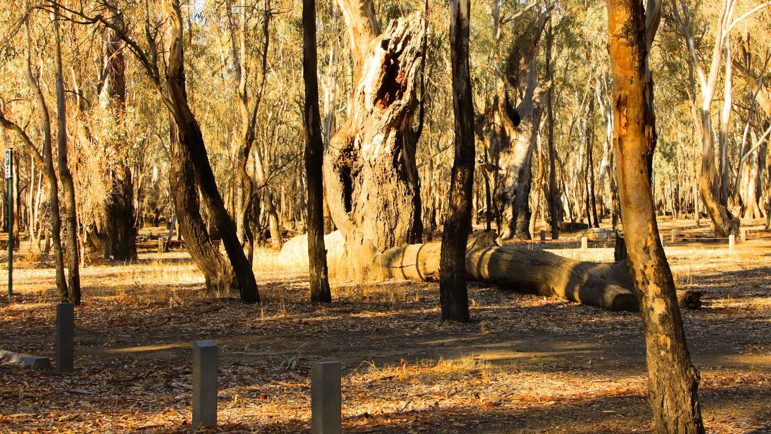
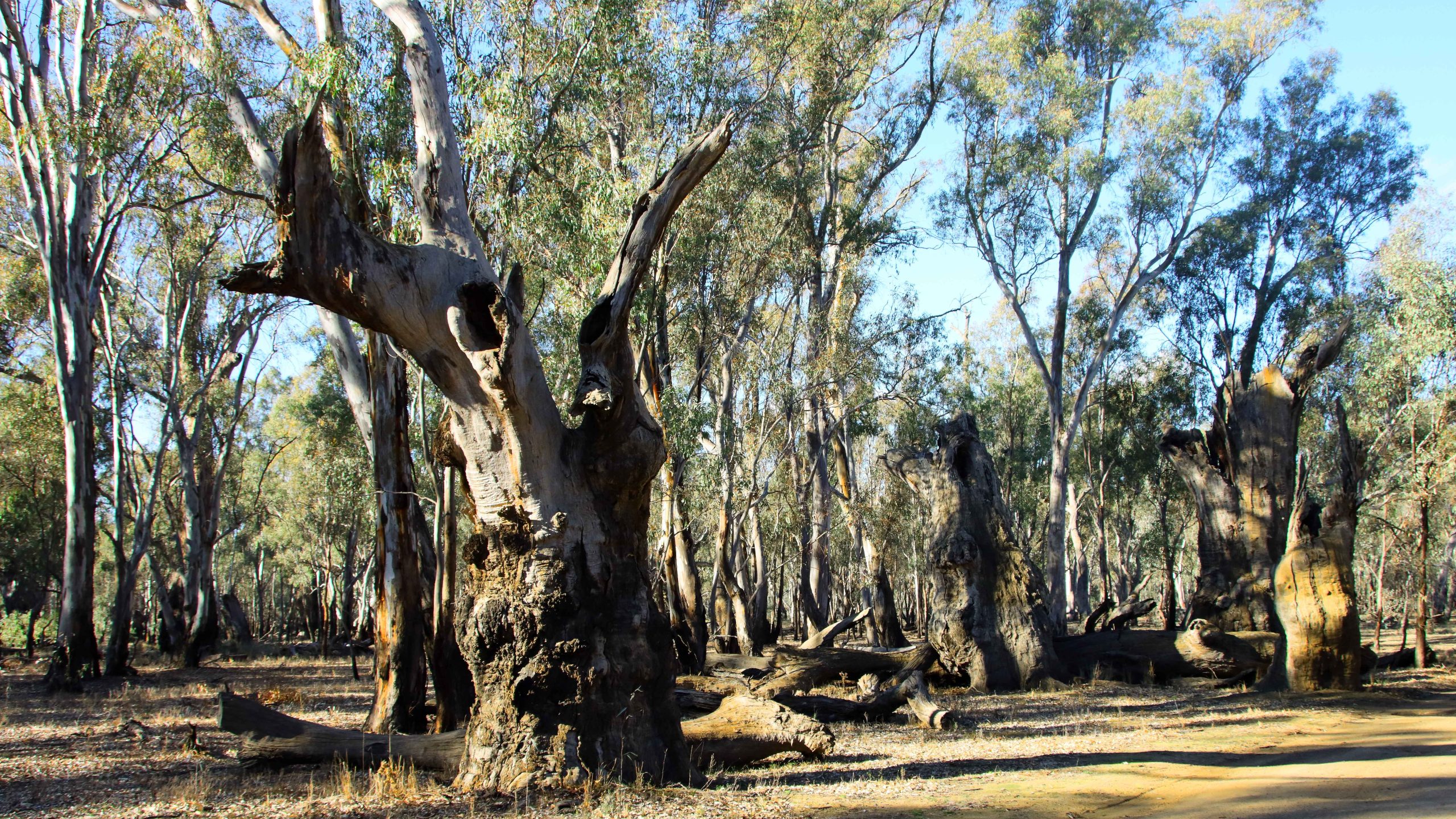
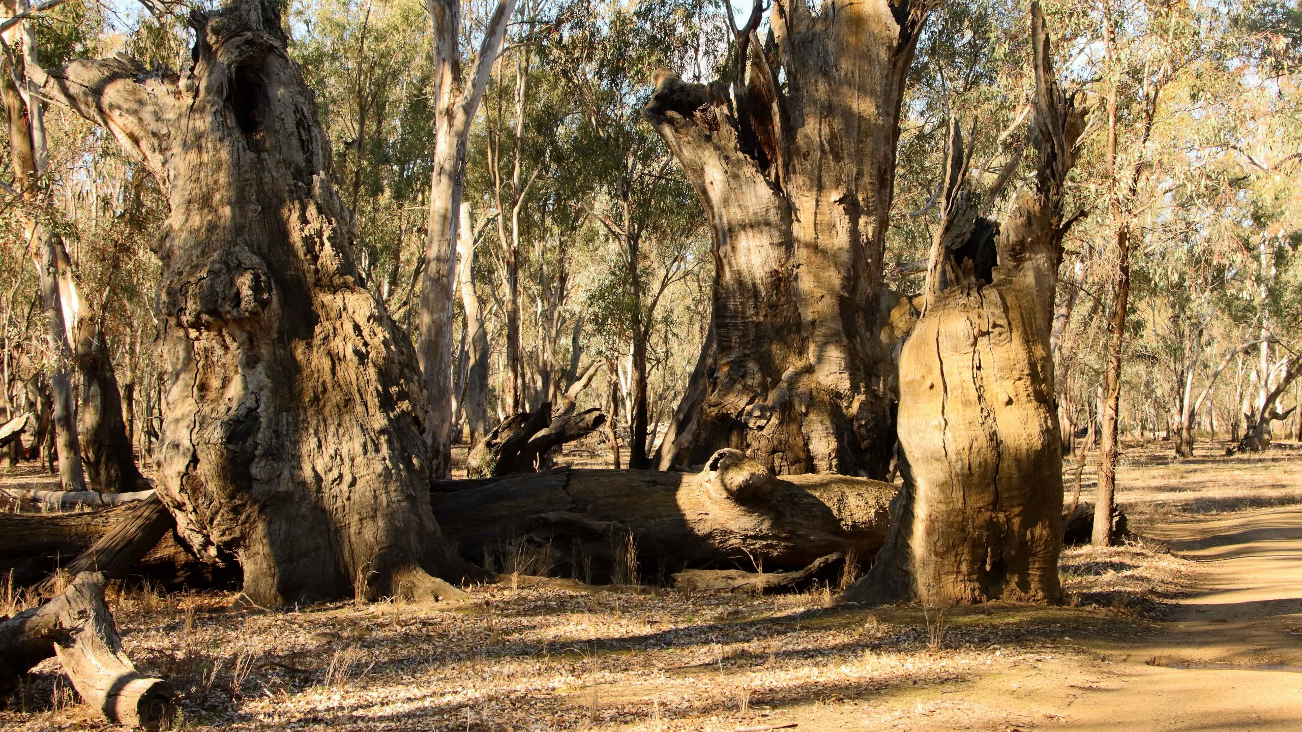
Remains of River Gun giants of the past.
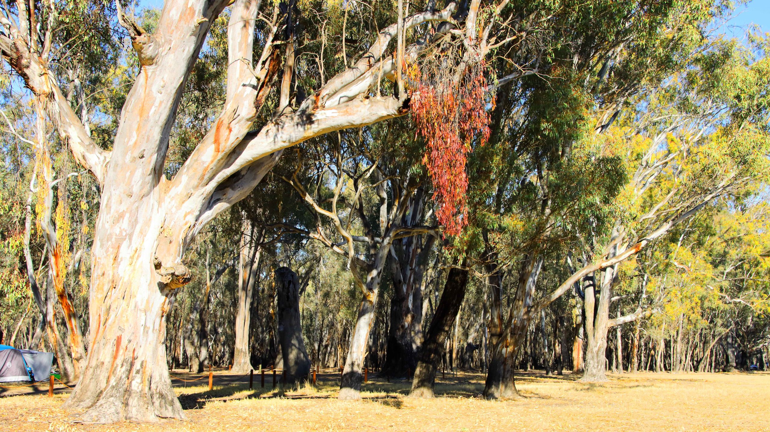
Barmah is a popular area and offers visitor facilities including a cruise boat for tours of the lake. Campers have ready access to a launching ramp near the camping ground and several hundred meters of shore at which boats can be moored. The entire public area is flood plain and evidence of flooding is everywhere. The forest is dotted with huge river gums, most still standing but some have succumbed to the rigors of nature and are slowly crumbling back to vegetable matter. It is worth a visit if you are in the area.
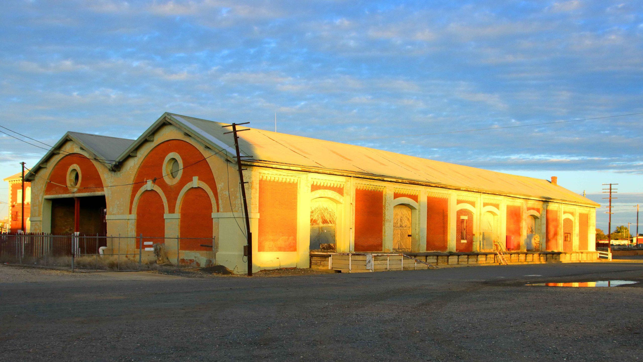
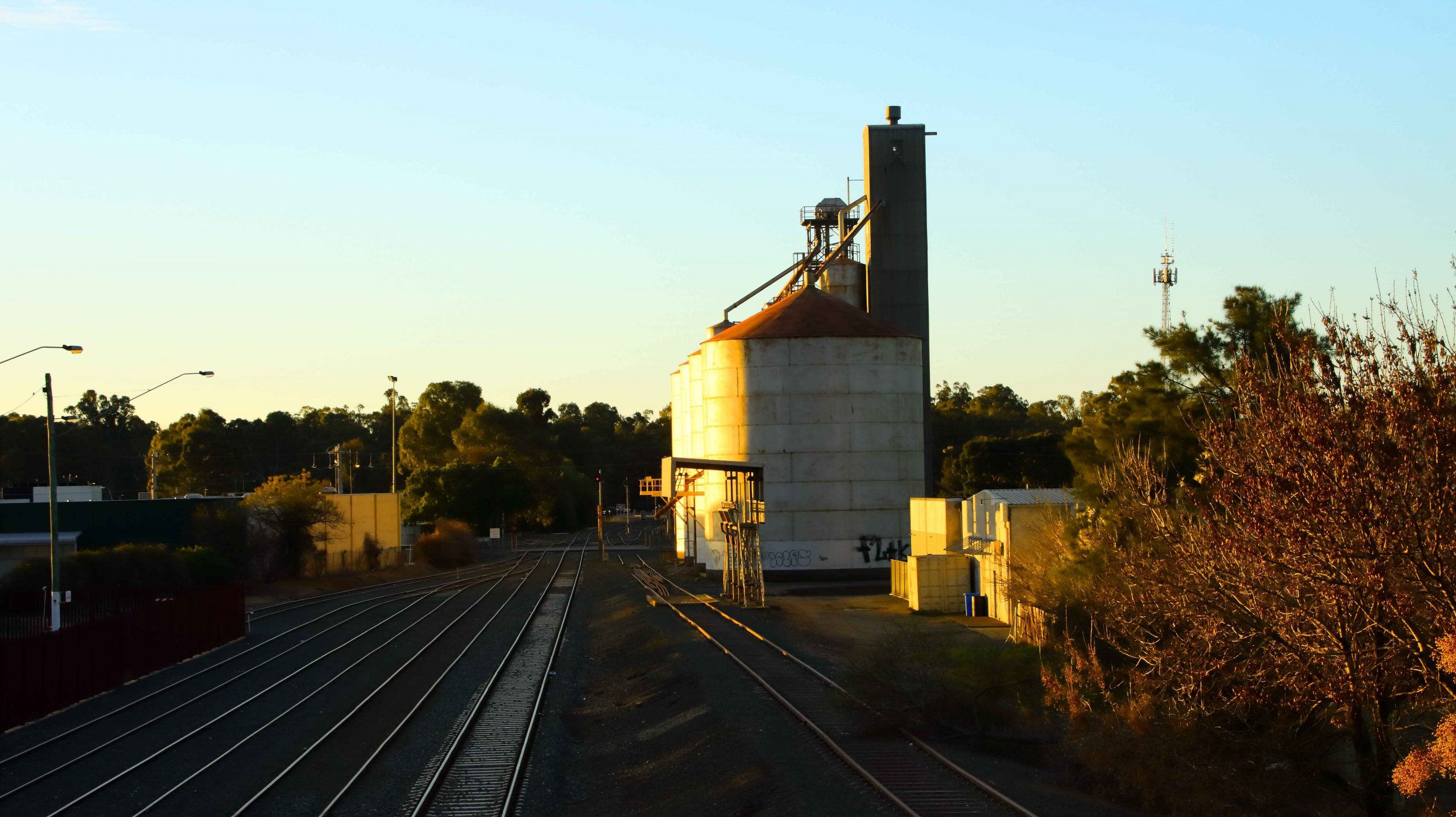
We reached the sizeable town of Moama, on the northern shore of the Murray, in good time and took the new concrete bridge, opened in 2024, over the river, to our hotel on the edge of the CBD. I had time for a camera walk before settling for the night. The evening light was very gentle on the historic buildings of the railway station where I took my walk.
Railway freight sheds in the evening light.
Grain Silos by the railway line that runs on into NWS.
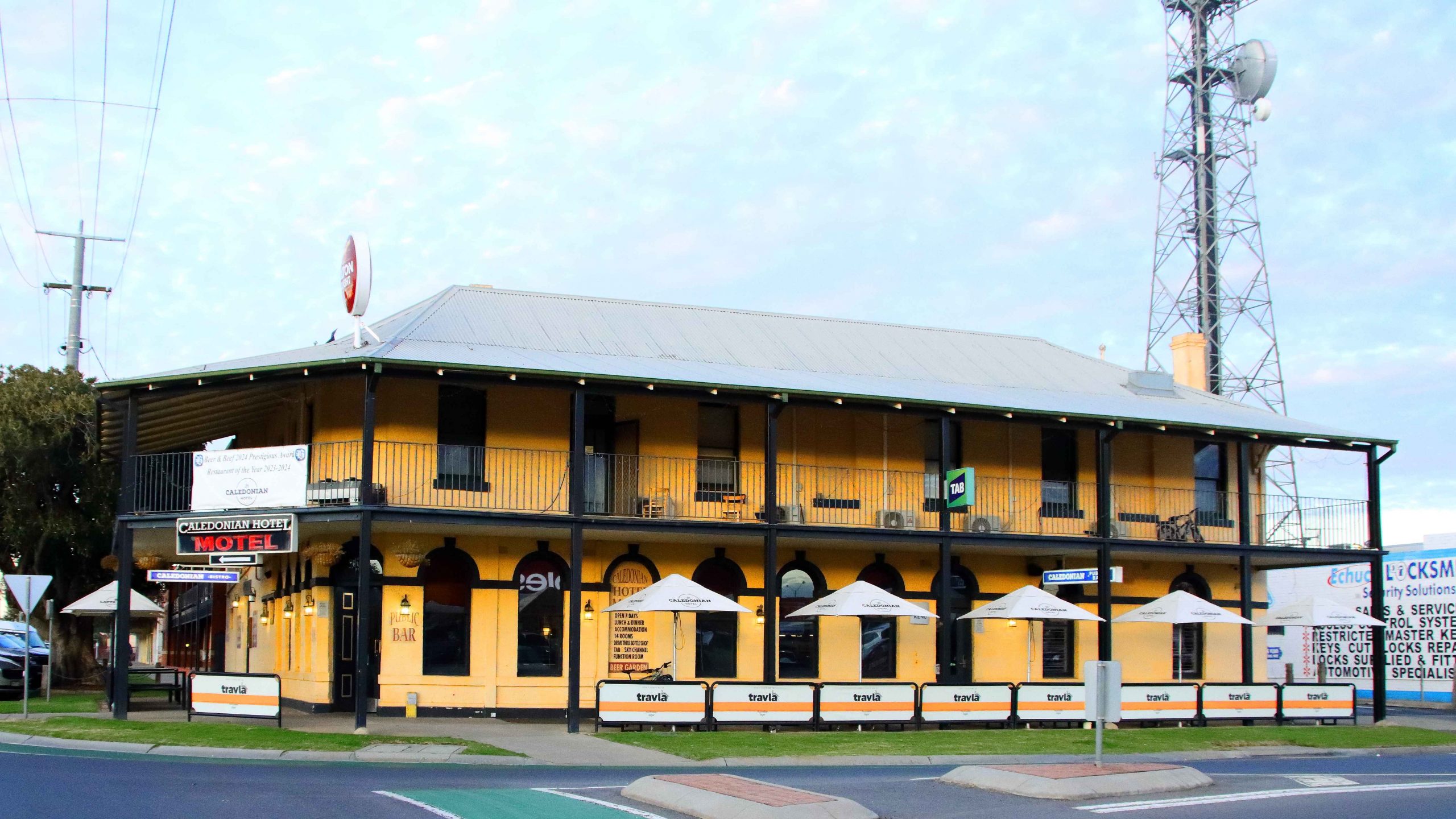
The Caledonian Hotel-Motel, our residence in Echuca
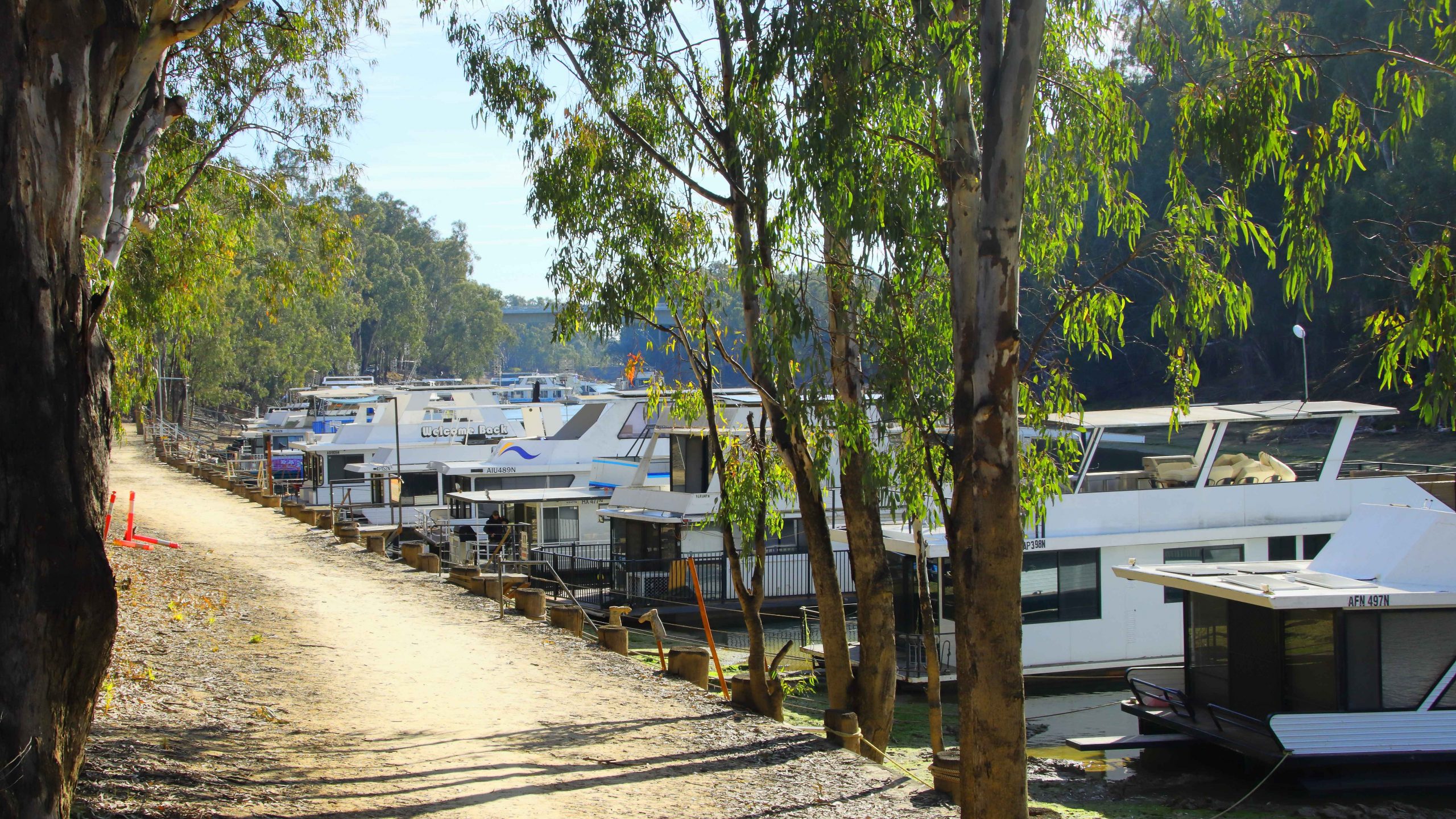
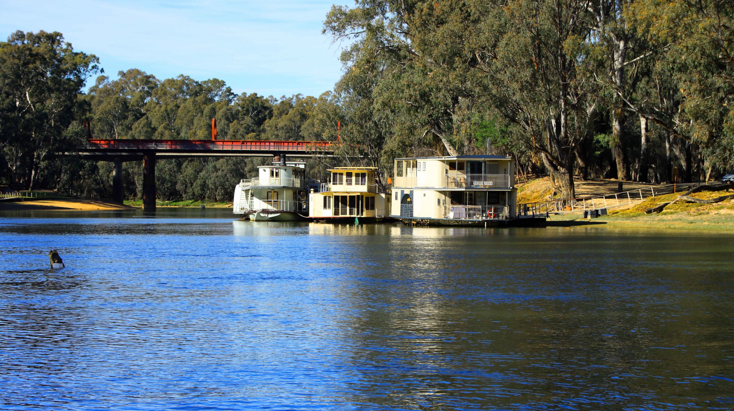
Houseboats moored to the Victorian bank of the Murray River.
A paddlewheel houseboat
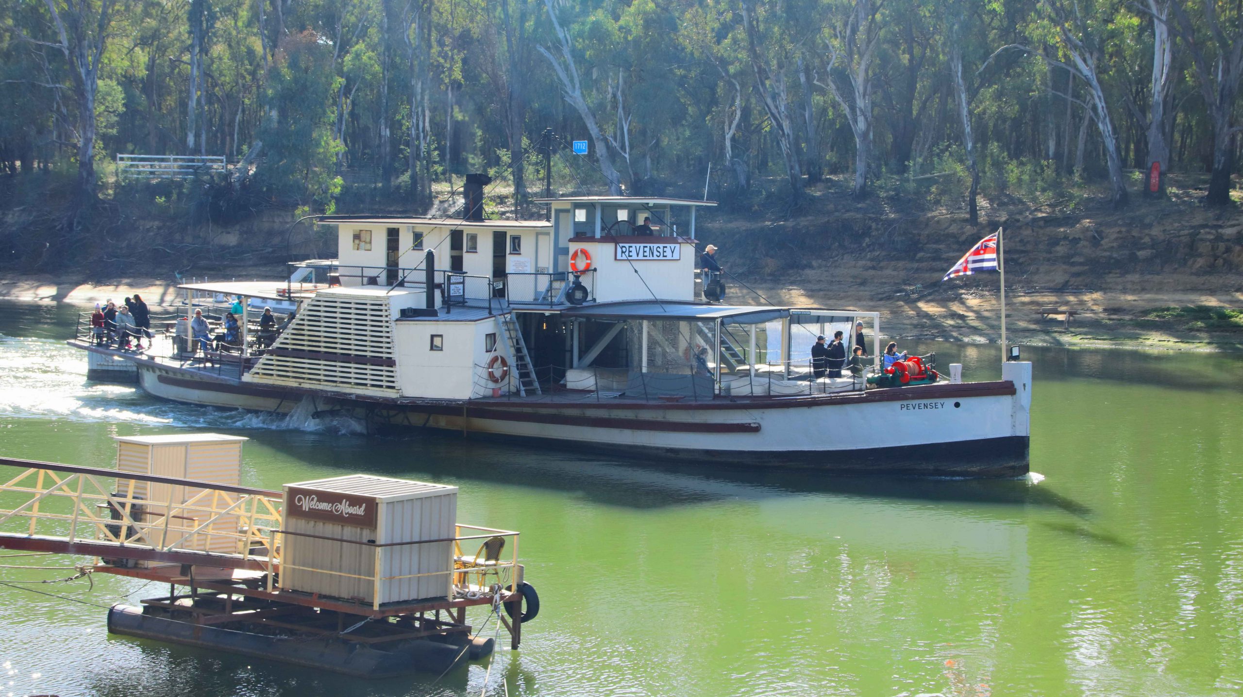
On Saturday morning, day six, we set out initially to find the location of our cruise paddle wheeler. Boating activity is centered on the old port area where the famous high-level wharf, so often seen in photos of the port, is to be found. Two boats were providing paddle wheeler rides, PS Pevensey, which was operating from the old wharf, and PS Canberra that was working from a floating dock a little further down-stream. Both boats were using the same section of the river, virtually taking turns in using the narrow strip of river provided by the low water levels currently in the Murray. The Darling River has had a boost from rains in Queensland but the catchment area for the Murray has received much less rain. It will get a boost from snow melt at the end of winter.
Having located the boarding place, we then went to find the mouth where the Campaspe River joins the Murray. Sadly the road in was only passable to four-wheel drive vehicles. It was a bit too far to walk.
The PS Pevensey, one of the oldest boats on the river.
Houseboats moored near the old river crossing at Echuca
The port precinct is the centre of tourist activity.
High Street, Echuca
We returned to our unit for an early lunch, to make sure that we were in time for boarding at 1.15 PM. During our morning reconnoiter we had established that Ruth would not be able to board, due to the steep angle of the boarding ramp. So we found a parking space that overlooked the boarding area. That was the best that we could do. Mobility limits can be challenging and lead to disappointment at times.
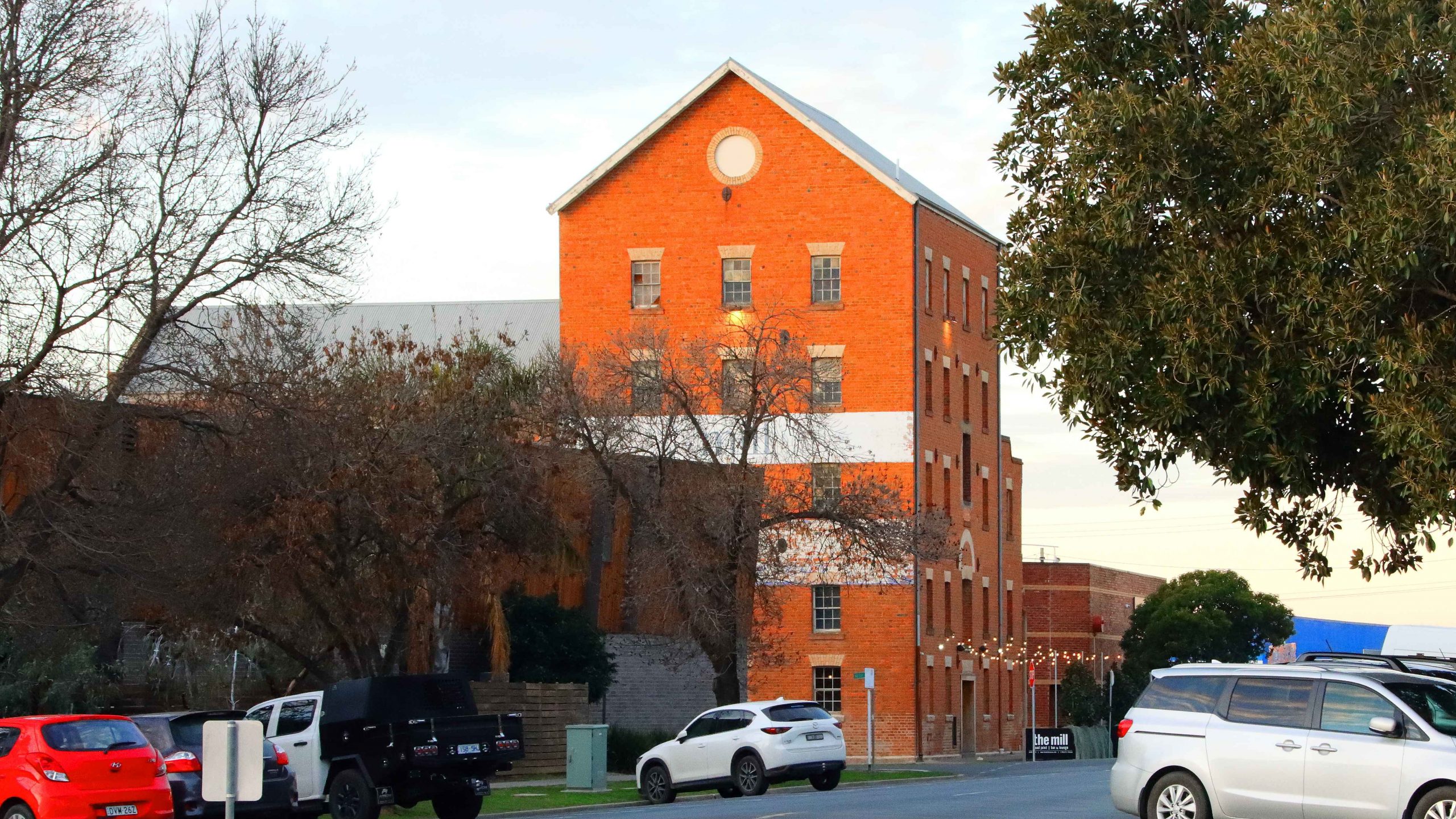
The Old Mill is now home to a restaurant of that name
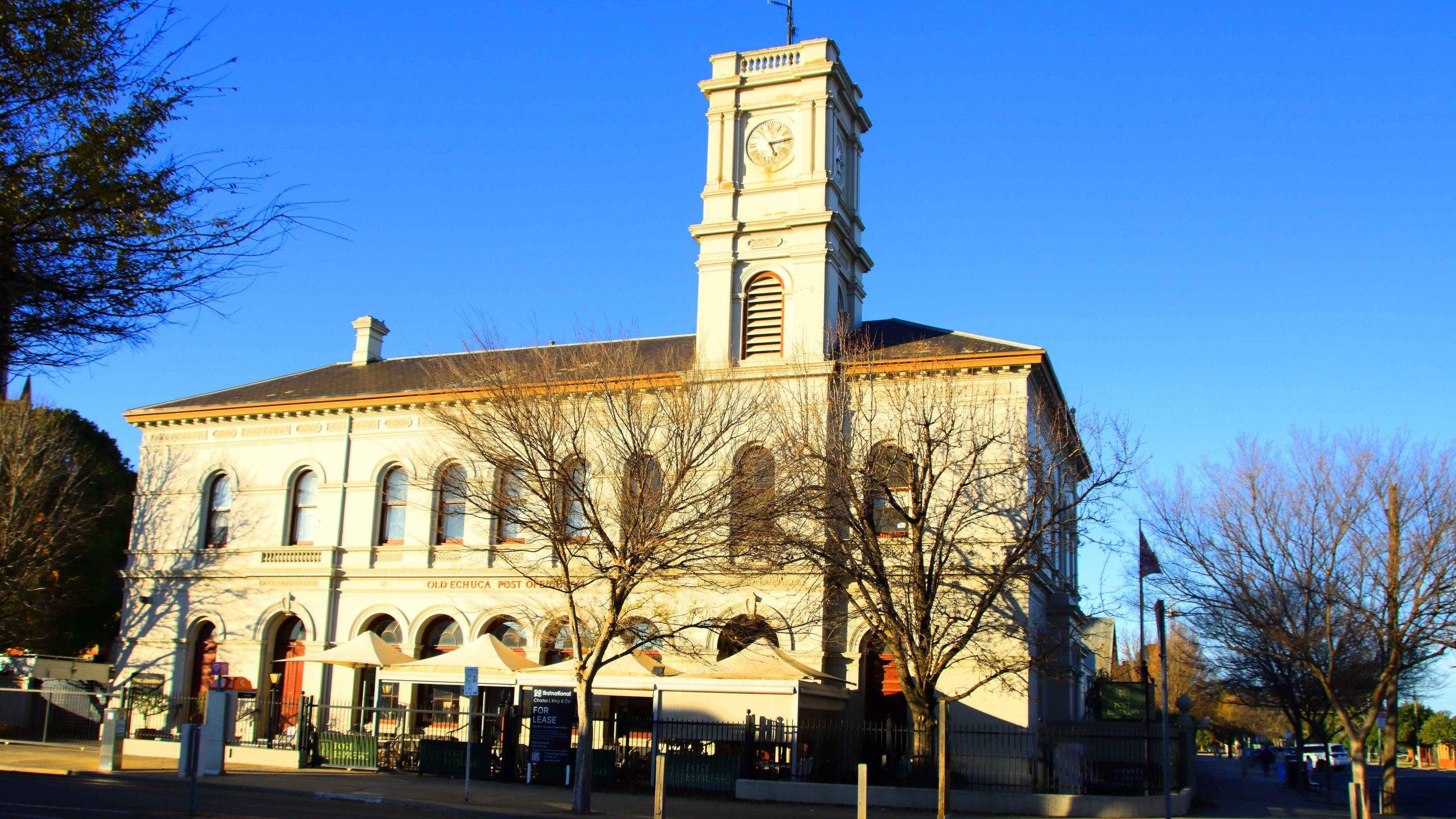
Echuca’s Old Town Hall.
The cruise lasted an hour. We proceeded up stream to look at the historic wharf structure from the water. Then we turned down stream to retrace our course and paddle our way for about three kilometres. The scenery was mainly exposed river banks and rows of houseboats. Renting a houseboats is one of the things that tourists do when they visit Echuca. But many boats are privately owned. Some of those were in use, with owners basking in the afternoon sun, sheltered from the wind by the banks of the river.
PS Canberra, pictured at the start of this blog, was launched in Mildura in 1913 as a single deck fishing boat. There was a change of ownership, a second deck added and she became a river cruise boat. Canberra was moved to Echuca in 1966 and has remained there ever since.
I shot video during the cruise. Here it is in edited form.
Rain came in over night and produced intermittent showers for the first hour or so of our trip south to Melbourne and then Warragul. Traffic increased as we approached Seymour and stayed with us much of the way to and beyond Melbourne. The rain did not follow us into Gippsland but the weather was cool for our arrival. We booked into our accommodation and called my sister and my brother to announce our arrival and make arrangements to meet the next day.
A huge mistletoe on a River Red Gum at Barmah National Park
When away from home, conveniences that you take for granted are just not there. Our motel room was too small to spend much time with four adults in it, so we opted for lunch at a shopping centre where we could escape the cold wind, get coffee (tea for Bernard) and food and talk in some degree of comfort.
I should ad that we had been joined by my youngest brother Bernard, who lives on his farm outside of Drouin, and has done for most of his life. We had collected him in Drouin on our way through.
We had headed back towards Melbourne to the Westfield Fountain Gate centre at Narre Warren. This part of Melbourne we know well, but it is so changed. Ruth and I rented a flat near the railway station at Narre Warren about sixty years ago. It was our third home. Our move there had occurred as a consequence of me changing my job from Drouin to North Clayton. We had taken the first step towards becoming city dwellers.
We found a corner table in a food court. But it was a battle, as we were in the middle of Victorian school holidays. But we found shelter and sustenance, so had a good discussion before returning to Warragul and returning Aileen to her residence.
The next day we were joined by my sister-in-law Helen, widow of my younger brother Winston. I had four siblings, three brothers and a sister. Sister was youngest in the family. My elder and younger brothers passed away over recent years, as did my brother-in-law, leaving my only sister a widow.
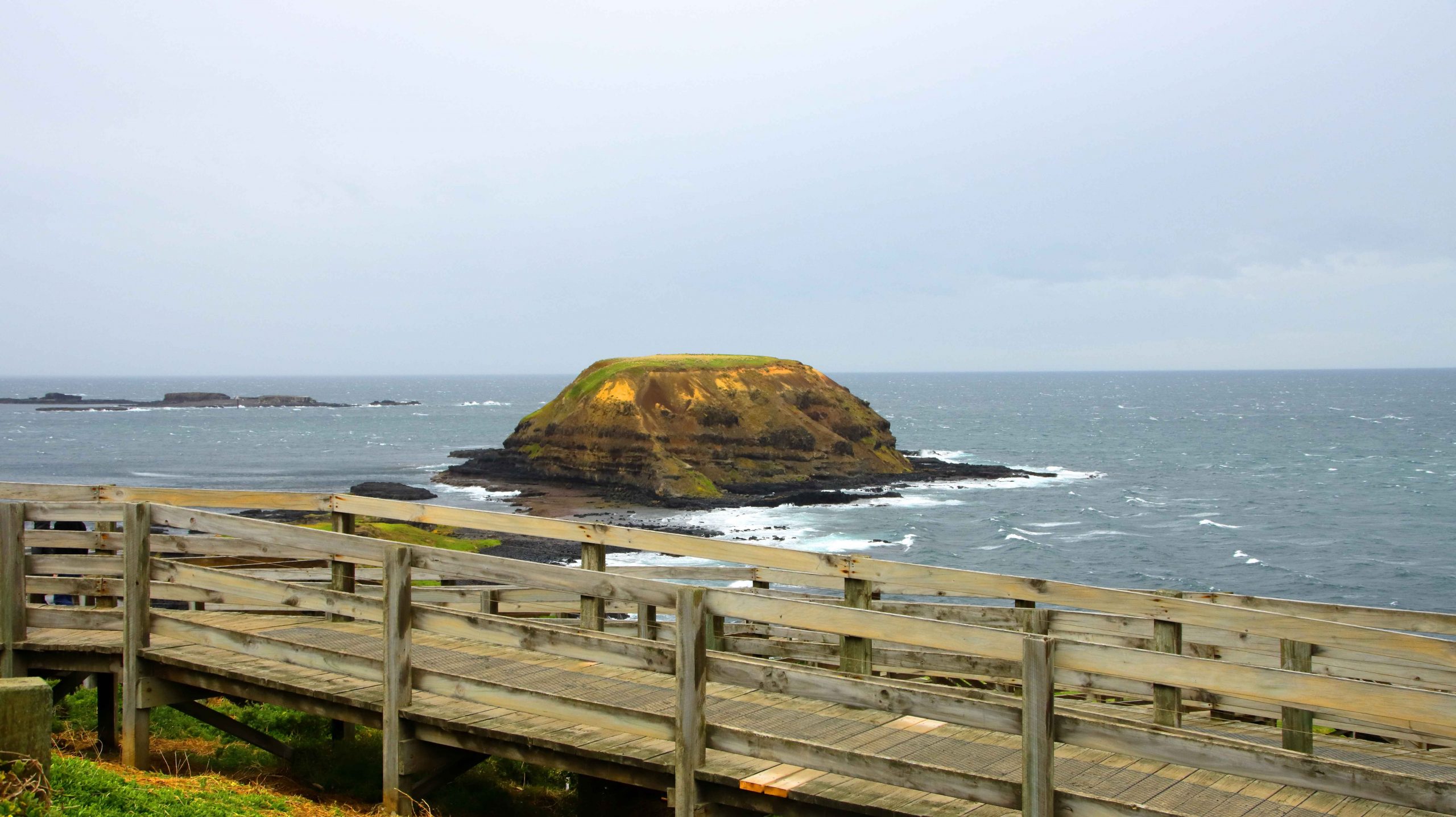
Round Island off The Nobbies with the ramp to sea level in the foreground.
We collected Aileen and drove to Bernard’s farm where we moved into his larger car. Helen met us along the way. She is like Bernard, a retiring farmer. By retiring I mean that they have both ceased dairy farming and now raise beef as they wind down their level of productive involvement. Even farmers have to give up work some time.
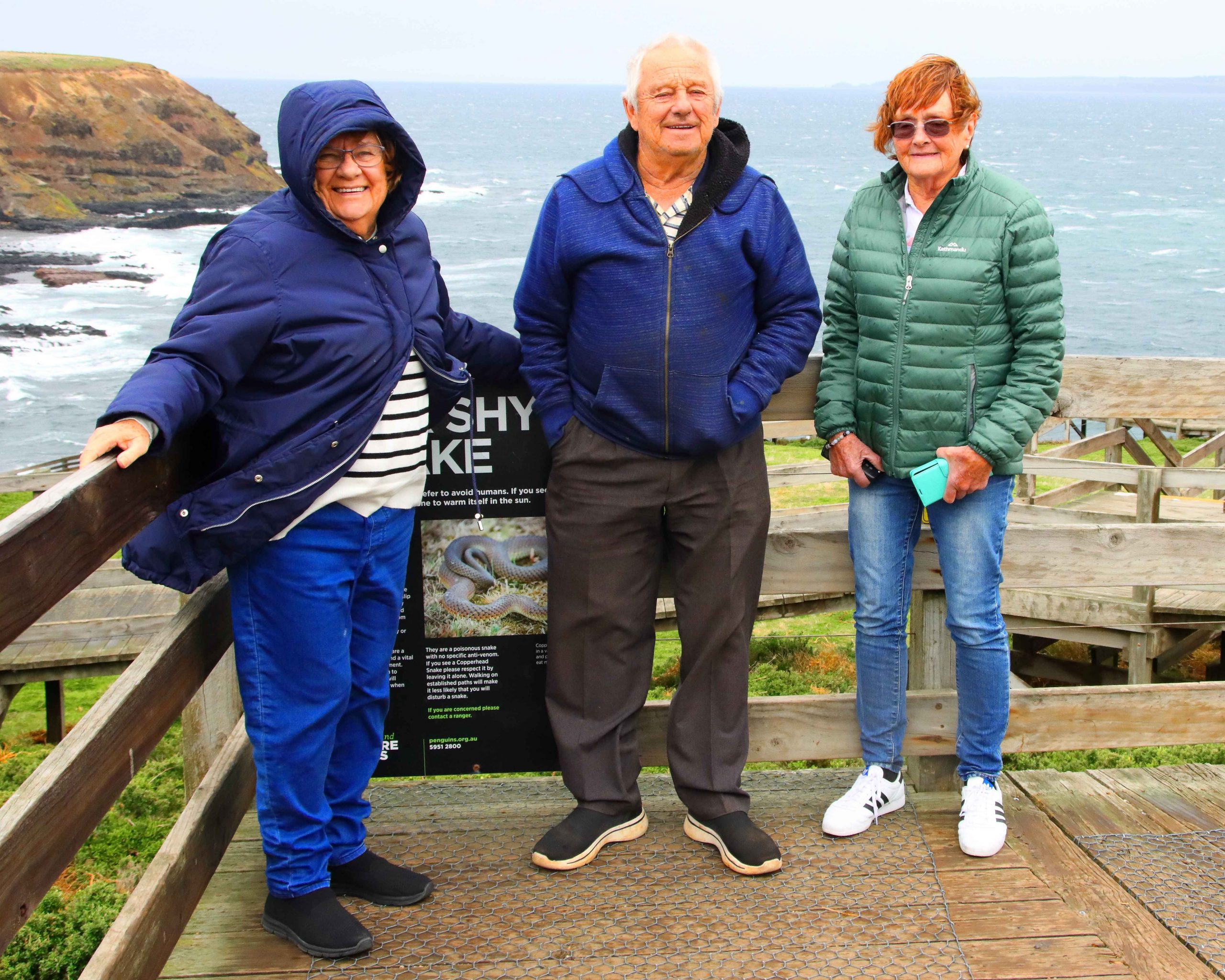
A quick photo at Nobbies Lookout with Round Island in the top left hand corner. From left Aileen, Bernard and Helen. Ruth was smart and stayed in the car.
Our first stop for the day was San Remo. Talk about bleak weather. Even the life long Victorians were trying to avoid it. We gave up on fish and chips for lunch, got back into our cars and crossed the bridge into Phillip Island, continuing to Cowes, where we found a parking space in front of a suitable eating establishment. Phillip Island Coffee provided shelter, food and coffee. What more could we ask for?
There really isn’t much to do in Cowes on a cold winter day, but knowing how bleak it would be, we still drove out to The Nobbies and experienced the kind of weather that we had anticipated. Just a quick look and a couple of photos and we were back into the cars.
We took a longer way back to Warragul, following the Bass Highway to Wanthaggi where we stopped for coffee and comfort. We then followed the most logical way back to Ripplebrook, the location of Bernard’s farm. Then back to Warragul to deliver Aileen before returning to our motel and turning on the heater.
Standing behind Ruth, from the left, Helen, Bernard, Me, Cousin Kelvin and Aileen.
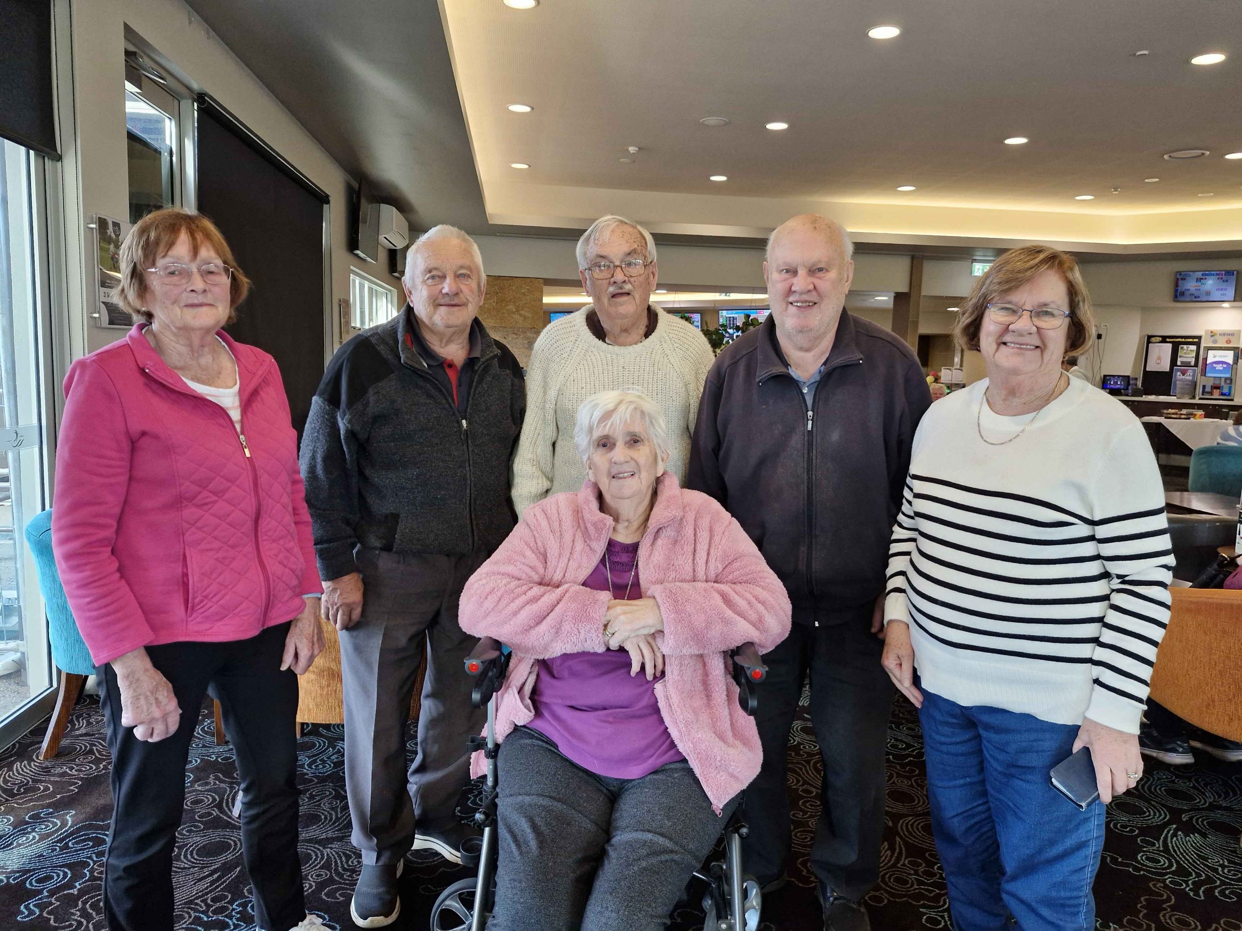
Wednesday was our last day. Ruth and I joined Aileen for very leisurely coffee at the coffee shop at her residence. We then moved on to The Warragul golf club restaurant where we met again with Helen and Bernard, plus a cousin, Kelvin Sheather, who also lives in the area.
We normally use the golf club for family catch ups and have been doing so for several years. It provides all the facilities that we need for lunch plus a lounge area where we can spend extended time in each other’s company. We went for a bit of a drive around the newer parts of Warragul before saying our farewells to my little sister.
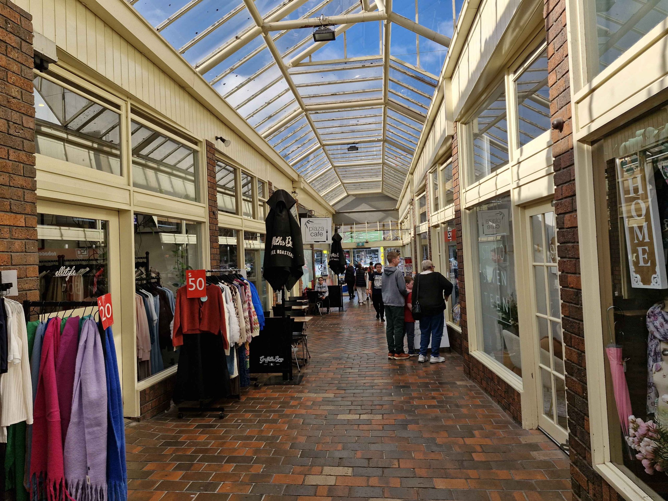
The arcade where the gas company office was located is to the right. The main change since our time there, is the glass roof.
Warragul has grown and matured since our departure. I know its streets intermittently because for about four years I tramped them once a month, reading gas metres, as part of my clerical employment, by first The Colonial Gas Association and later The Gas & Fuel Corporation of Victoria, after a company take over. The office is still there after about sixty five years but is now a coffee shop.
Thursday morning and time to head on back towards home. Catchups planned for Bowral, Sydney and Toronto.
We both felt a bit under the weather from the start. We had developed coughs and congested airways. We didn’t think we had the dreaded Covid, as part of checking into Aileen’s accommodation was facial recognition, including a temperature check. Neither of us had elevated temperatures. We stopped at Morwell for Strepsils to ease throats but continued on to Orbost for our first night. The weather was still very cold and windy.
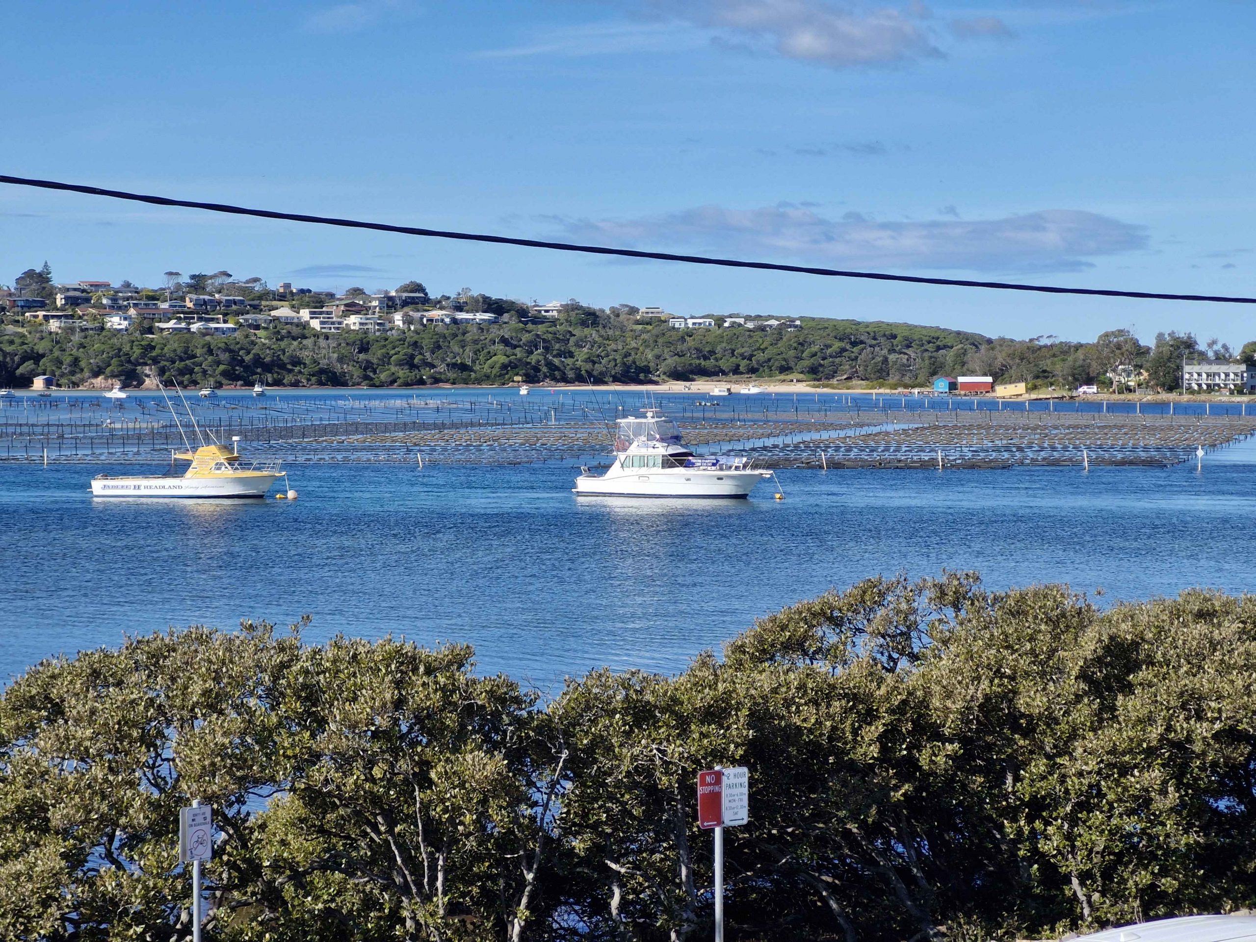
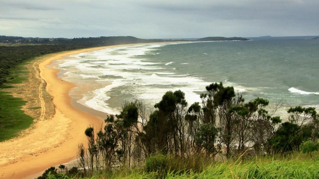
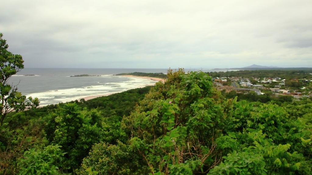
Boats and Oyster beds at Merimbula, NSW.
Next morning, at Eden, we called at a pharmacy for something to suppress Ruth’s cough and came away with three medications. We stopped for lunch at Merimbula but then made a detour to Bermagui to see if we could spot a coastal rock feature known as the Horses Head. We could see no sign of it where I thought it to be, so we moved on to our motel at Moruya.
We were on full health watch as we were now to within twenty-four hours of our next family call, this one with the most critical health aspects attached. We continued up the coast to Wollongong before turning inland to spend the night at Picton, at a motel on the old Hume Highway. We stopped for lunch at Kiama, along with most of the tourists visiting the area south of Sydney that day. Or so it seemed.
During the evening we talked to our family at Bowral and decided that the risk of passing on our ailments was too great. That was a good decision, because on returning home Ruth was diagnosed with influenza, despite having had anti flu injections. Our daughter Briony took a pass on our dinner arrangement. She is busy at work and doesn’t need a dose of the flu.
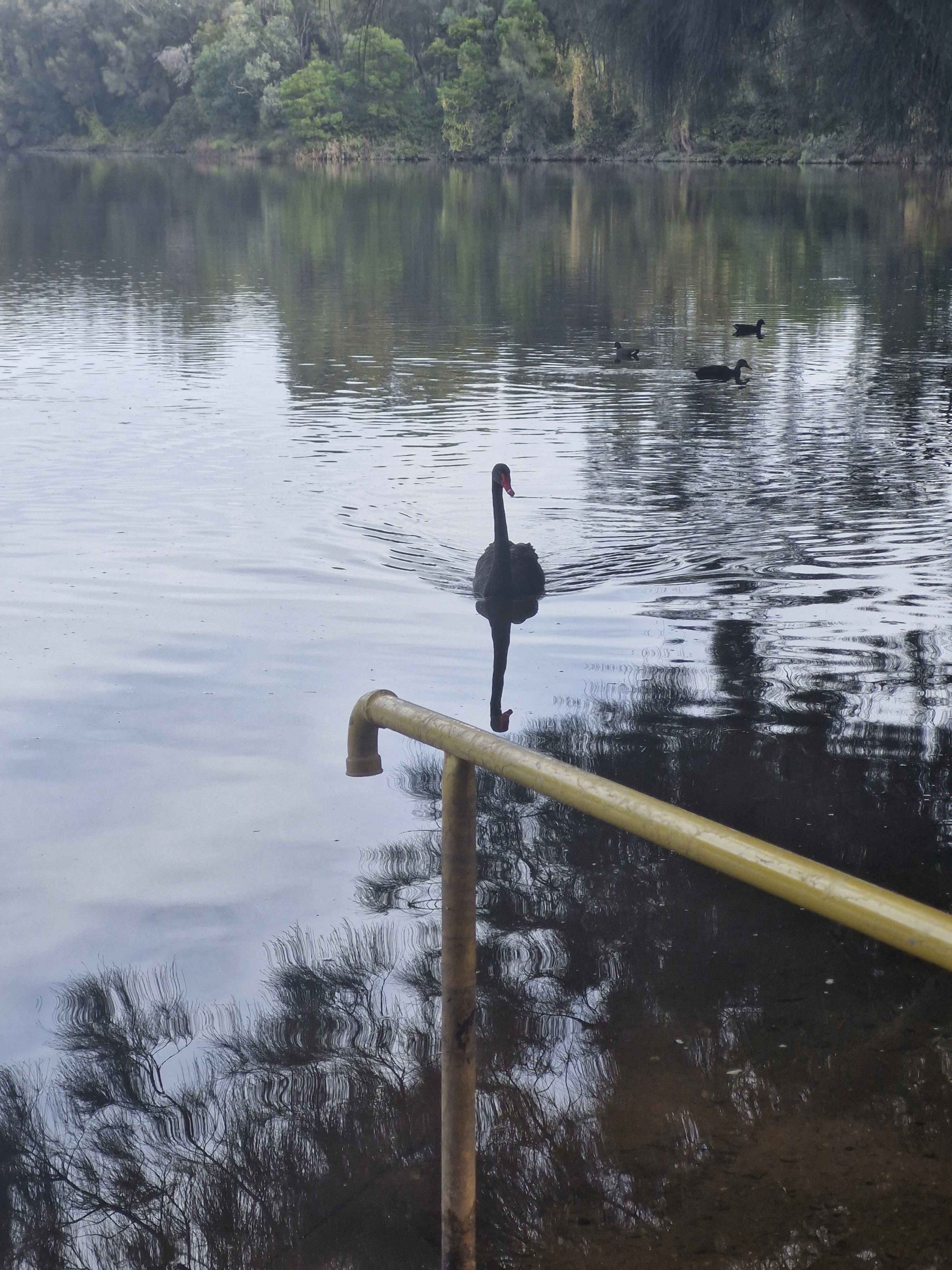
An inquisitive Swan on Georges River, Liverpool
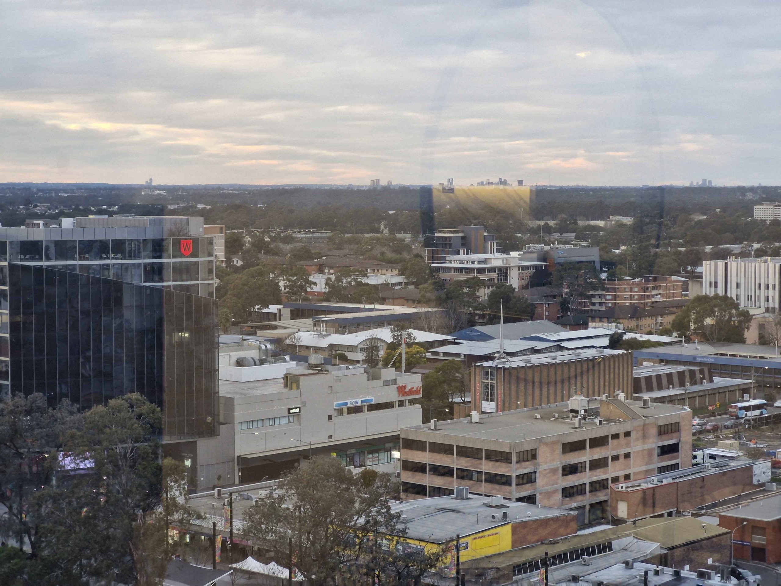
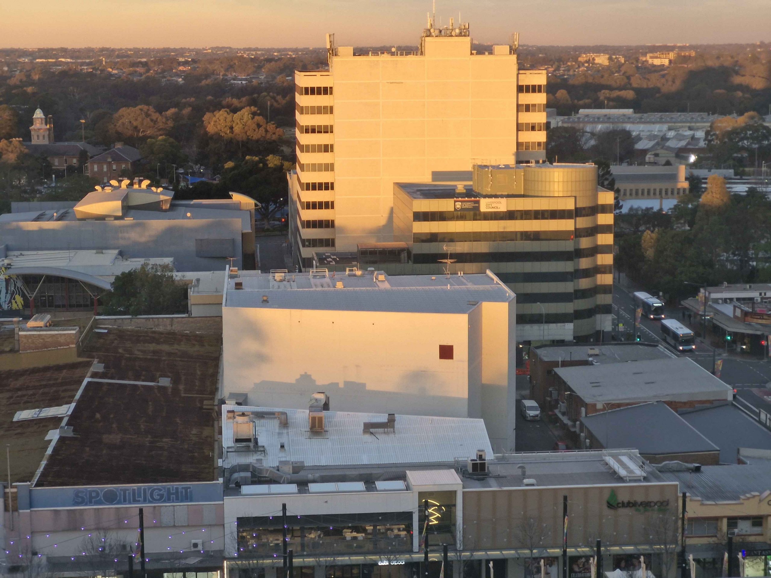
Evening light on Liverpool buildings.
Our Sydney accommodation at Liverpool had been booked and paid for, with a check in time of 2.00 PM. So we found a sunny spot in a park by the Georges River and sat and read. I did a short walk. Then we found a place for lunch and then booked in to our hotel. Our tenth floor room provided views att the way to the City of Sydney particularly as the sun set.
This brought us to Monday morning again, so we made our way through Sydney morning traffic to that strip of adventure known as the Pacific Highway to Newcastle. We were impressed by the progress made on the Raymond Terrace bypass.
The Camden Haven River at Laurieton NSW.
Our stop was at Laurieton for the night. Chinese takeaway for dinner. We had planned a stop for the following night at Yamba, with a final run home the next day. But we decided to abandon the Yamba booking and drive through. We were again impressed with progress on the Coffs Harbor bypass. It is a bit hard to work out how much longer the construction will take, as so much of it can’t be seen from the existing road.
A clear run to home with only a modest delay on the Gateway Arterial. As we had travelled north the weather had improved, warmer and with less wind. After the first day with a soar throat, my symptoms had disappeared and I felt quite well. Not so Ruth, who coughed and slept her way home.
So, we arrived home on Tuesday and achieved a doctor appointment on Thursday. Ruth was diagnosed with influenza, right on the cusp of phenomena. But she responded well to antibiotics and is now back to near normal.
We felt the trip was worth while, despite the disappointments of the second half. But the experiences did teach us that Melbourne and Gippsland are not a good idea for us in Winter.
Note: A video covering the material in this post can be found at the foot of this blog post.
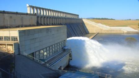
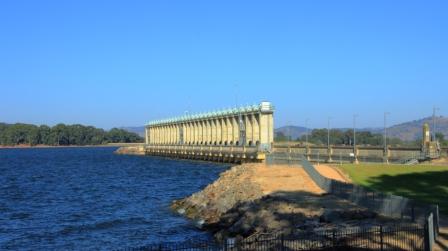
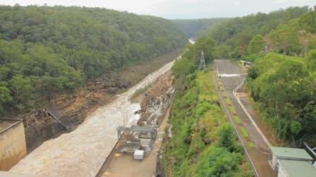
Excess water released from Hume Dam
We left Phillip Island amid showers sweeping across Westernport Bay and the adjoining coastal plains. Our route lead along the South Gippsland Highway, Monash Freeway, skirting around the city to reach the Tullamarine Freeway and finally to the Hume Highway. We were headed to Bright to see if Autumn had yet reached the area, famous for its Autumn colours.
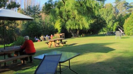
Afternoon tea on the lawn
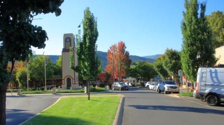
Bright Cenotaph
More colour in Bright
Rosella in the tree on the lawns
We only took necessary breaks, arriving in Bright in the late afternoon. Our motel backed onto lawns that run down to the path that runs along Ovens River. We look our afternoon tea to the lawn and were joined by some Parrots.
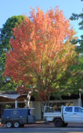
Early Autumn at Bright
The Liquid Amber trees were turning nicely but the Poplars and other deciduous trees had only just started to put on their show.
We left town next morning via Yackandandah, a nearby town also known for its colours, but it seemed to be running later than Bright.
We were bound for Hume Dam on the Murray River to see what it looked when when full. Excess water was being released to a huge roar, in sufficient quantities to fill the river down stream to the top of its banks. When we came through there on our way home from Tasmania two years ago the water level was well below the spillway and further up stream, cattle were grazing on river flats that had been exposed for years but now are inundated by the water in the dam.
Sunlit clouds over Goulburn.
Lake Hume, full to the brim
We made our way to the Hume Highway and continued on to Goulburn for the night.
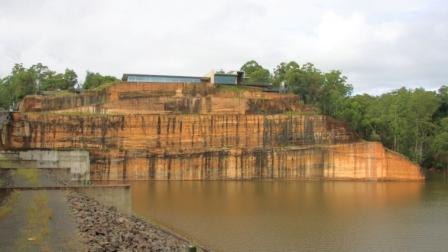
Heavy rain was forecast for the recently flooded North Coast of NSW so we decided to cross the Blue Mountains and make our way home inland. But first we wanted to see the recently overflowing Warragamba Dam. Warragamba was not far off our track.
Warragamba Dam, also full to the brim
Water released into the Warragamba River.
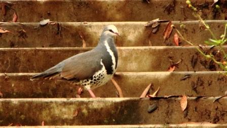
We thought that refreshments might be available at the visitor center at the dam, but no such luck. We did our tourist thing under increasingly threatening skies. Walking back from an observation point I took a wrong turn and came upon a pair of Rosellas. Then a Wonga Pigeon landed on stairs behind me, the first of this type that I had seen.
The visitor centre overlooks the dam
Soon, after departing the dam, the sky opened and stayed that way. As we approached the Great Western Highway, traffic congestion was becoming an issue so a quick change of plans and we were on the highway heading west. With the rain still falling and a stop becoming necessary, we found a convergent McDonald’s and stopped for lunch. Back on the road the rain continued to well on the way to Mudgee, our next overnight stop.
Wonga Pigeon at Warragamba Dam
Mudgee is a week end town, thriving on visitors from the coast, so they have their weekend on Monday and Tuesday. We were there on Monday night and found most restaurants were closed. The Chinese restaurant at the Gold Club was recommended. They served excellent food in huge quantities. We only eat half the food served to us but were able to take the leftovers. They were sufficient for dinner the following night.
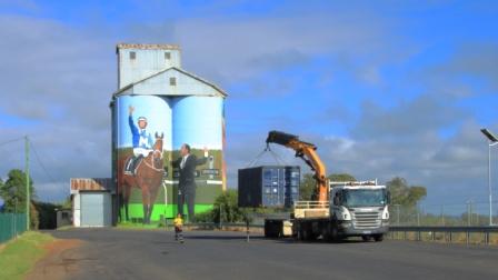
Silo artwork at Dunedoo in Central NSW
Next morning, we had passed through Gulgong and Dunedoo when a phone call from last night’s motel advised that I had left my binoculars behind. So, after returning the necessary 85 kilometres, we had coffee and started again. We left Mudgee, this time by the Ulan Road, then through Binnaway so saw some new country. Lunch at Coonabarabran and a stop for the last night at Moree to rest and deal with leftover Chinese food.
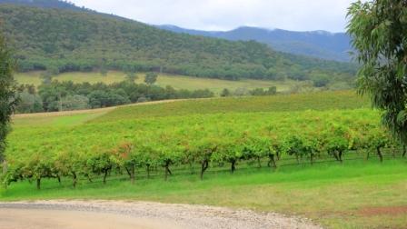
Vineyard near Mudgee
The plan was to do the last leg of the journey via the Gore Highway to Toowoomba and then the Warrego Highway to Brisbane but as we left Goondiwindi a roadside sign advised that the Gore Highway was closed. So on through continuing rain with a stop at Warwick and arrived home mid afternoon.
Eighteen days and a bit over 5,000 kilometres with average weather and escalating petrol prices. But we saw all of the relatives that were planned and respects paid at two grave sites. In all a successful trip.
At breakfast, I confirmed with my niece that a left turn back at the main road, the Old Hume Highway, would take us through Camden and Picton. I used to know that road well until it changed its character completely, when multiple suburbs were built along it and it ceased to be the Hume Highway. But I forgot the second left turn at Narellan town centre. We were crossing Peter Brock Drive at Oran Park before I realised my mistake.
We turned and allowed Google Maps to guide us over several country roads, including one called Sheather Lane, until we reached Camden. The Old Hume Highway then lead us over The Razorback to Picton, where we stopped for coffee. The wrong turn had cost us time, so the quickest route, out to the motorway and directly to Bowral, was needed to bring us to our destination on schedule. We didn’t want to be late for lunch.
The next call was very much of the reason for the trip. Ruth’s youngest brother lives with his wife in the beautiful eastern suburbs of Bowral, in the NSW Southern Highlands. Wallace and Virginia (Wall & Jinny) have lived in Bowral for many years. As time passed they bought the block in a then new area to the east of the town and built a nice house around which they have laid out beautiful gardens.
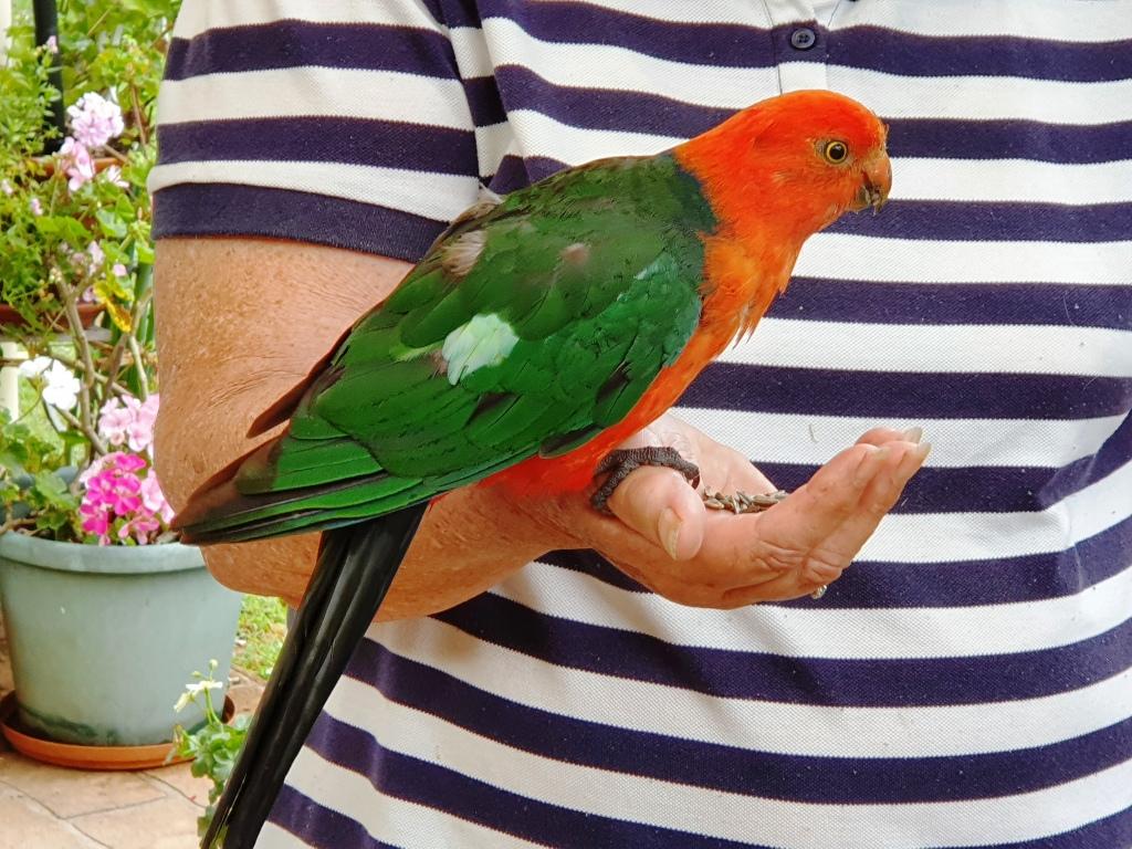
Our hostess with a regular visitor. Guess why it calls?
Sadly Wall is in advanced stages of Parkinson’s disease. Jinny is his devoted carer these days. We spent a night with them and left next morning. We had as pleasant a time together as circumstanced would allow. It was pretty good.
Not only is Jinny a keen gardener but loves birds. Local birds know it as a good place for a regular feed. The current favourite is a Crimson Rosella that sits on Jinny’s thumb and eats out of the palm of her hand. Kookaburras call and laugh and other Australian native birds in the vicinity drop in.
For a couple of days we had been watching wet weather approach from the south. As we departed Bowral on that Saturday morning, it was clear that we were heading towards the front of the change. We reached Goulburn in slight drizzle. After coffee we took the Crookwell Road to the north, heading for a lunch stop at Bathurst. Beyond Crookwell the road passes through several kilometres of mountains, resulting in steep winding roads. It was on this section of road that the weather caught up with us. Heavy rain and gusty winds added to the challenge but there was not much other traffic.
Approaching Bathurst, we attempted to take a drive around the Mount Panorama circuit. It was not to be. From the foot of the serious mountains until the outskirts of Bathurst, road side signs warned of cycling activity in the area. We discovered that the centre for this Lycra clad event was the straight and buildings of the Mount Panorama racing circuit. Spectators were driving into parking areas and barriers protracted the track.
From Bathurst we drove through intermittent rain to Orange, Wellington and finally Dubbo, where we spent the night. The next day we followed the Newell Highway to Coonabarabran where we turned for Gunnedah. We enjoyed views of lush green Western Plains, so different to the drought conditions of recent trips. The grasshopper plague, part of which spread itself over the front of the car, was less welcome. We progressed under sunny skies having temporarily left the rain behind. It really was a pleasant drive. Morning coffee was taken at Coonabarabran and lunch at Gunnedah.
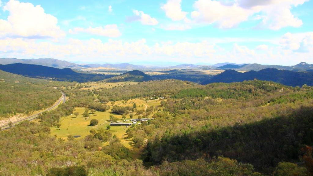
The lookout on Moonbi Hill
We joined the New England Highway at Moonbi after skirting to the north of Tamworth. This is quite a good alternative if you want to avoid Tamworth and interesting scenery, as the road runs through the collection of huge boulders known as the Moonbi Gap. A short side trip took us to the summit of Moonbi Hill. From there we drove to Armidale for the night.
The view Tamworth from Moonbi Lookout
Sunday 14th April dawned in Armidale with blue skies overhead but heavy cloud to the south west. We could have kept to the New England Highway by continuing north, but we figured that we could make it along the Waterfall Way and check out the area after recent rain, before more rain fell. So off we went.
Bakers Creek Falls are a series of smaller falls
There is a lot to see along this road but we stuck to waterfalls. The first call was at falls that we had not previously visited. About 20 km east of Armidale you turn to the right into Old Hillgrove Road, which starts as a narrow sealed road but quickly changes to corrugated gravel. The road leads down a hill, over an old wooden bridge over Bakers Creek and up the other side to a small car park hidden behind trees. A rough bush path leads to a surprisingly elaborate timber viewing platform that provides good views of the falls. It is a good spot and worth the roughish road.
Bakers Creek flows down this gorge from the falls.
From Bakers Creek Fall you can continue on Old Hillgrove Road to the historic mining town of Hillgrove, returning to the Waterfall Way via Stockton Road, that is now the main access to Hillgrove. We retraced our steps to Waterfall Way, having visited Hillgrove on a previous journey.
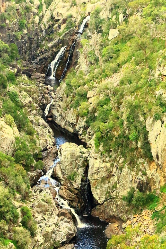
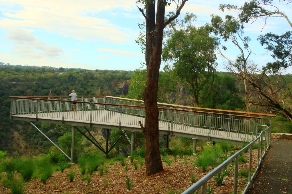
Wollomombi Falls viewing deck
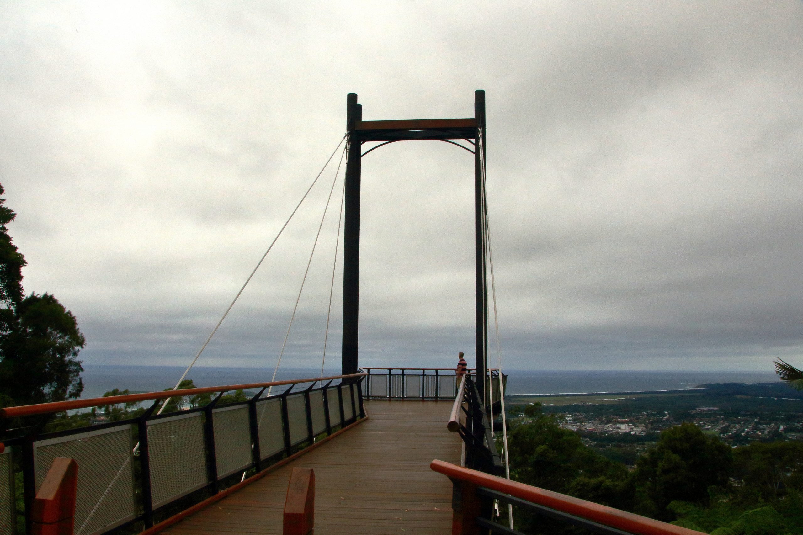
Next up was the Wollomombi Falls. Just a few kilometres along the Waterfall Way the turn again is to the right. A sealed road leads for about a kilometre, through a farm, into the Oxley Wild Rivers National Park. It is then only a few hundred metres to the day visitors’ area located on the edge of the gorge. The falls can be viewed through the trees at the edge of the picnic area, but a better view is had by taking a short walk to a commodious viewing platform.
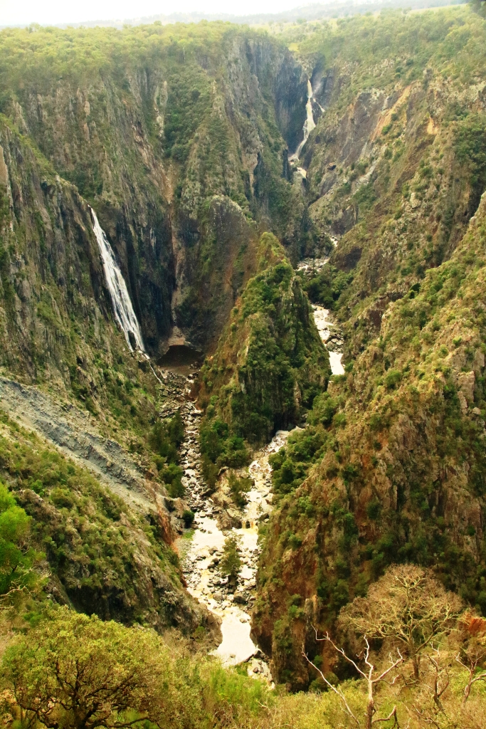
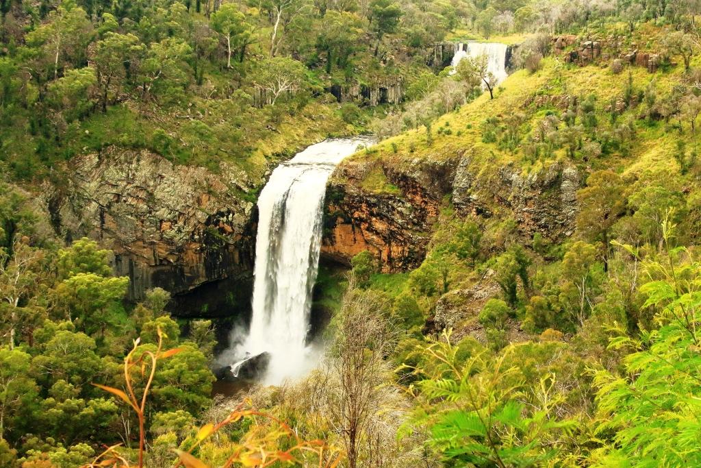
Wollomombi Falls
The falls, which are on the Wollomombi River, are a spectacular 150 to 230 metre drop into Wollomombi Gorge. The elevation of the top of the falls above sea level is 907 meters.
At our last visit there was no water at all so it was great to see the falls flowing. Just downstream of the falls the Wollomombi River joins the Chandler River which empty into other rivers until the water reaches the Macleay River which flows through Kempsey and enters the Pacific Ocean at South West Rocks.
Not far along the highway, a turn to the left leads over a rise to the village of Wollomombi, where the general store provided acceptable coffee and with morning nibbles or lunch. It was too early for lunch so we nibbled with our coffee.
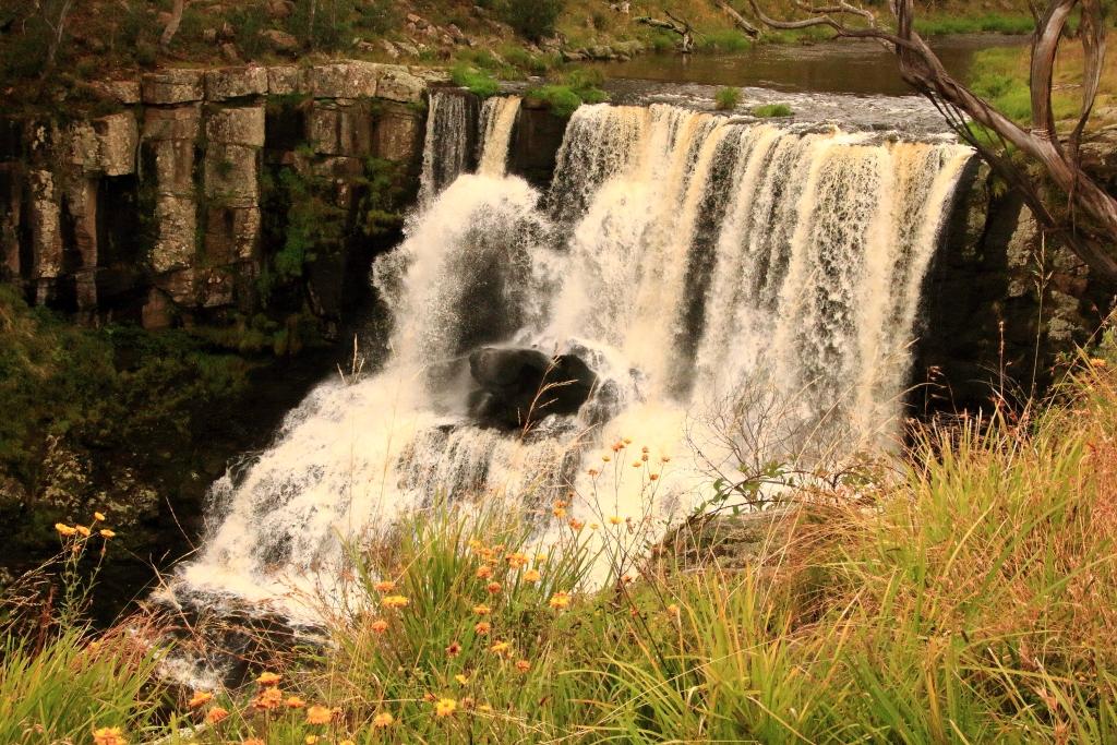
The top fall at Ebor Falls
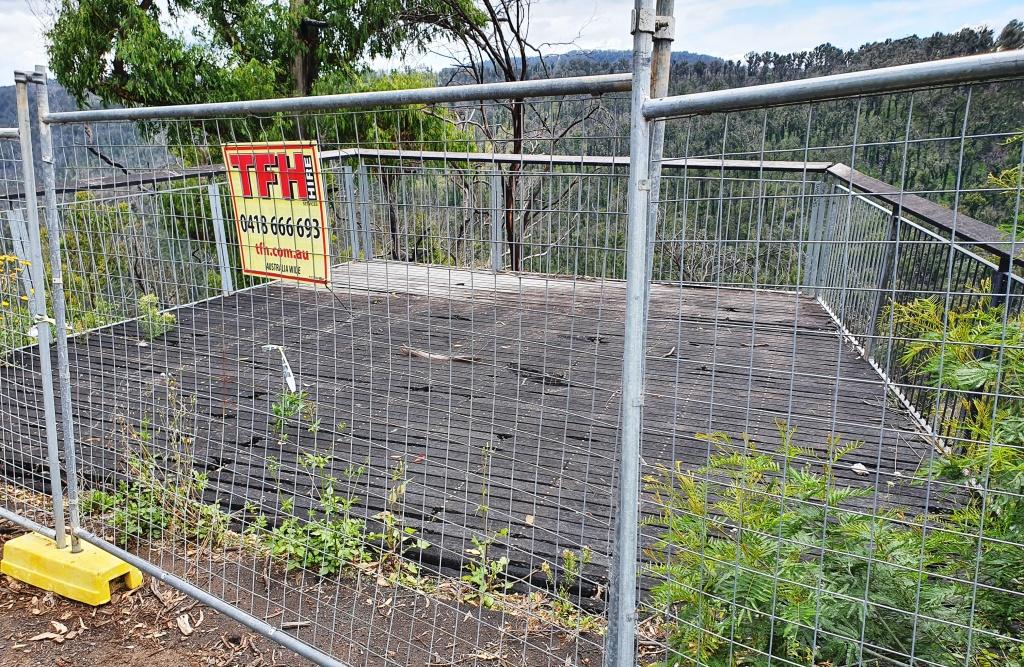
Ebor is the next waterfall stop along the road but to get there you pass the turn on the right that leads to the magnificent views of Point Lookout and a trout hatchery that offers smoked trout. Today the views would probably be of clouds and fog. On the left you pass the Cathedral Rock National park and the road to Guyra. Ebor falls are to the left before you reach the town. Views of the cascades in this impressive river are unfortunately marred by wire mesh barricades. As is so often the case, NSW authorities find it easier to erect a fence instead of maintaining tourist facilities. This is a very odd approach at a time when they are spending big on advertising programs to entice tourists to holiday in their own state. But we don’t do public tourist facility maintenance very well anywhere in Australia.
Barricades preventing access to the viewing platformAn example of deteriorationBoth of the cascades of Ebor Falls
From Ebor we drove the undulating plateaux to Dorrigo where we headed to the Canopy Café at the Dorrigo National Park, for lunch. We took the mandatory walk along the Skywalk Lookout before returning to the car. As we returned to the highway the first sprinkles hit the windscreen but the deluge waited until we had descended the mountain to Urunga before it started. By the time we reached Coffs Harbour almost all of the deceased grasshoppers that had spread themselves over the front of the car were washed away.
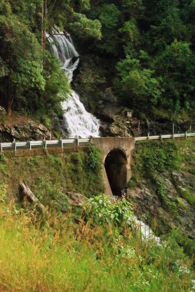
A waterfall beside the road between Dorigo and Urunga
We stayed two nights at Coffs, in a small apartment a little to the north of the main area, with glimpses of the ocean. The heavy rain experienced over night withdrew sufficiently for us to visit the lookout on the mountain behind Coffs Harbour and to drive to Sawtell where we had lunch in a pleasant cafe in the main street. We checked out the observation points in the area before returning north along the road nearest the coast. Just a quick look in at the harbour area and back to the unit as the rain became serious again.
Observation deck at the lookout on the hill behind Coffs HarbourA view from the deck over Coffs Harbour and the harbourBoambee Beach near Coffs Harbour airportSawtell Beach and Bonville Head
The trip ended with the drive home from Coffs Harbour the next day. We had been away for exactly two weeks.