We have just returned from a 20 day excursion to Sydney. A visit to Sydney for daughter Briony’s birthday celebrations (she likes to refer to it as her “f” birthday) had been intended as the first part of a rather longer trip, but circumstance necessitated a return to Brisbane for a few days. We hope to set off again around the middle of March, unless something else happens to derail the plan.
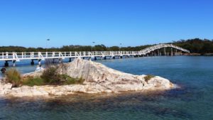
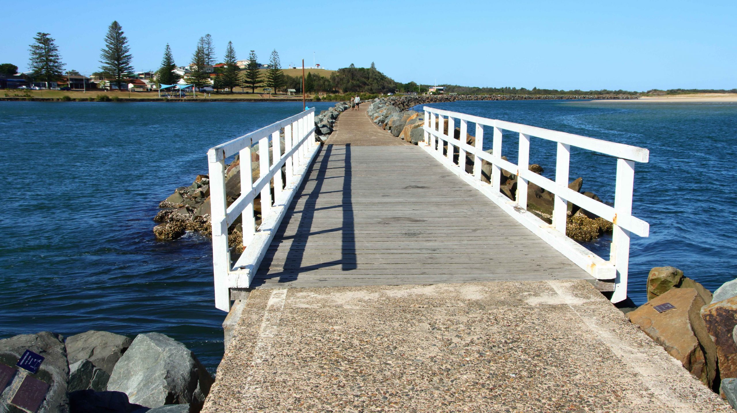
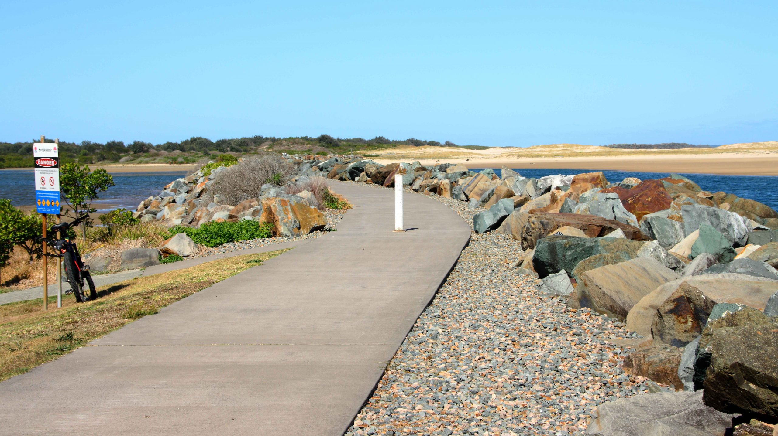
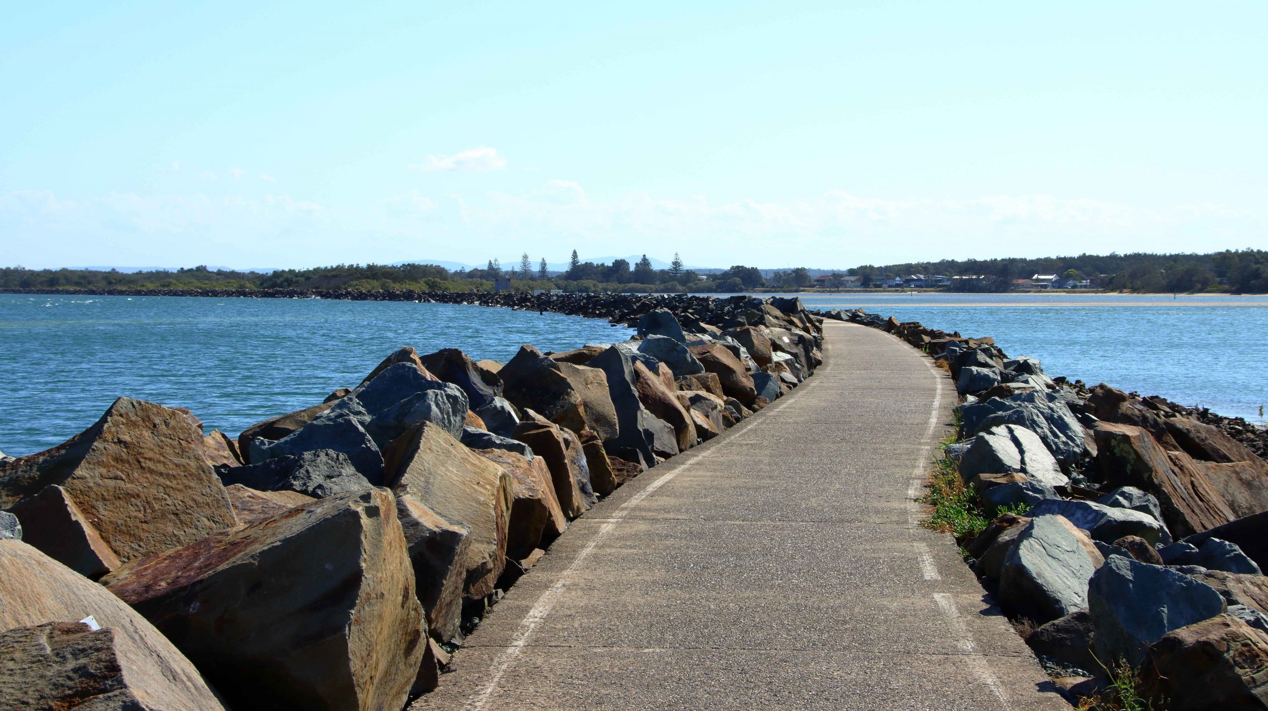
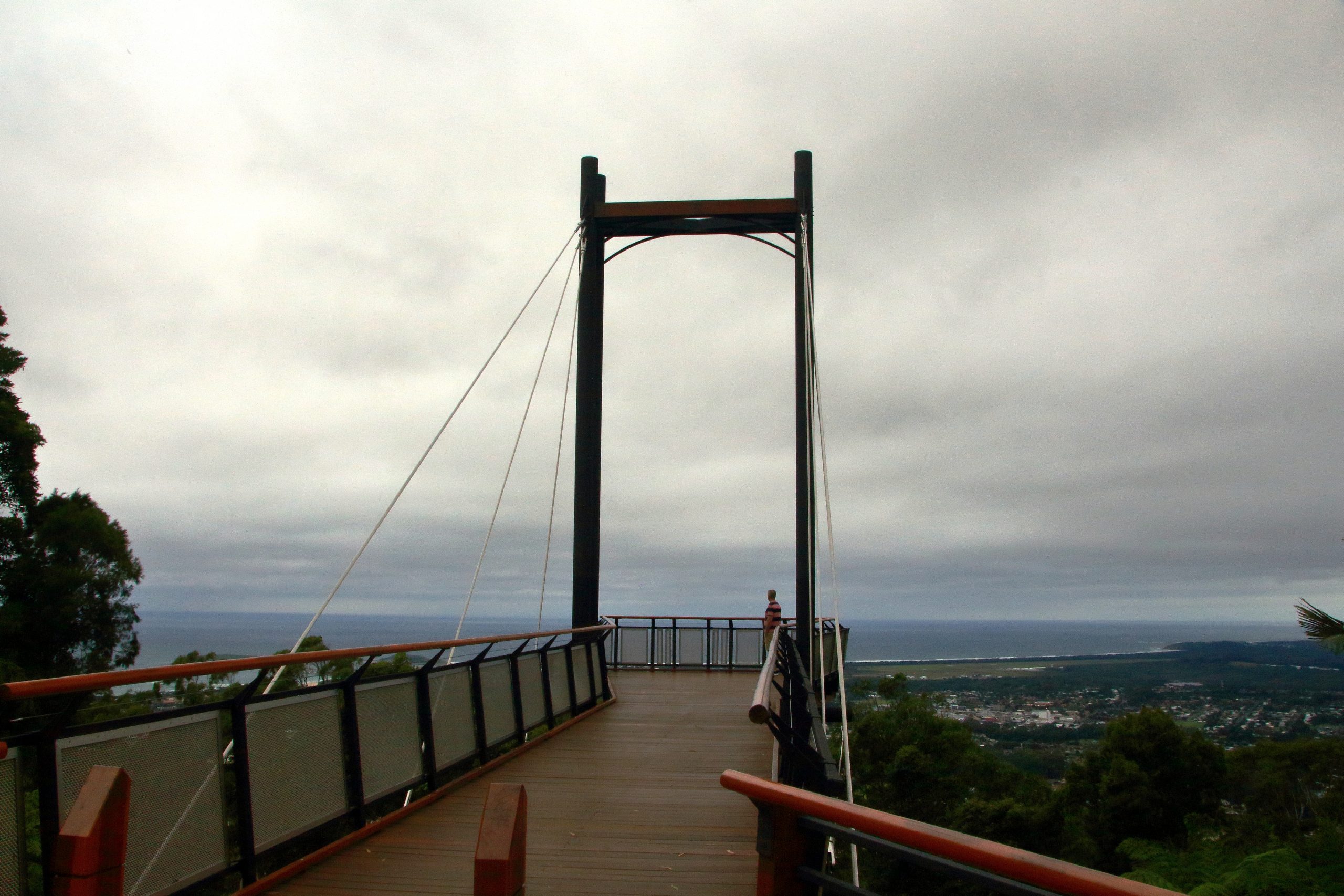
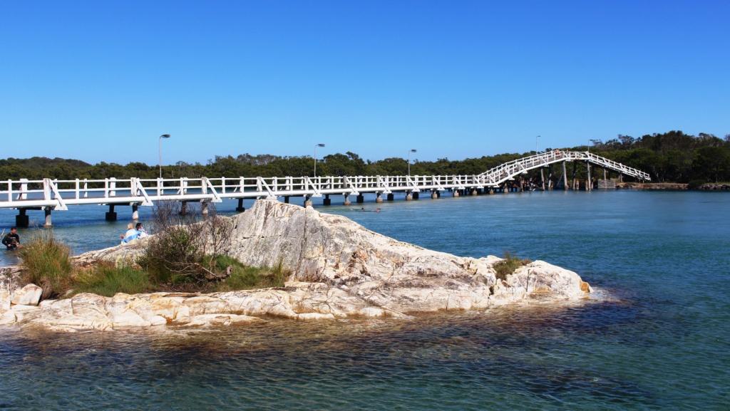
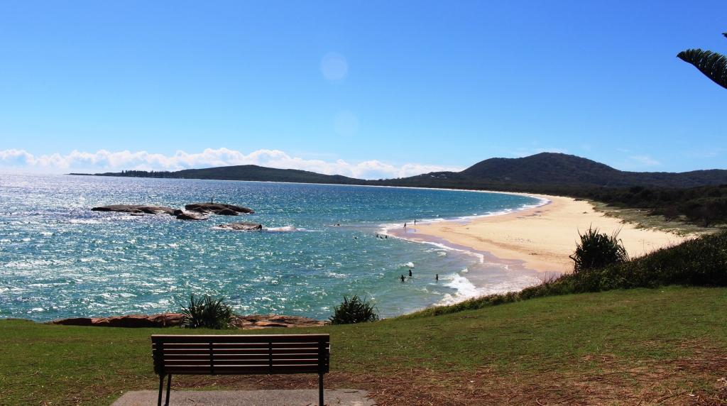
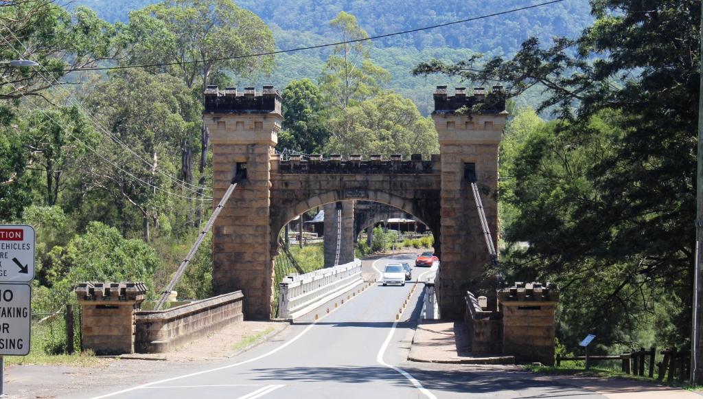
The foot bridge near the mouth of South West Rocks Creek
We left Brisbane on 27th January for Maclean, on the Clarence River, where we paused for a night to call on Ruth’s youngest sister Kathy and her husband Barry, who live in the area. We then had a couple of days set aside for the Gloucester and Barrington area but high inland temperatures persuaded us that it was much smarter to stay on the coast.
The result was two nights at South
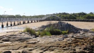
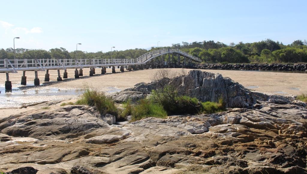
The same bridge with the tide out
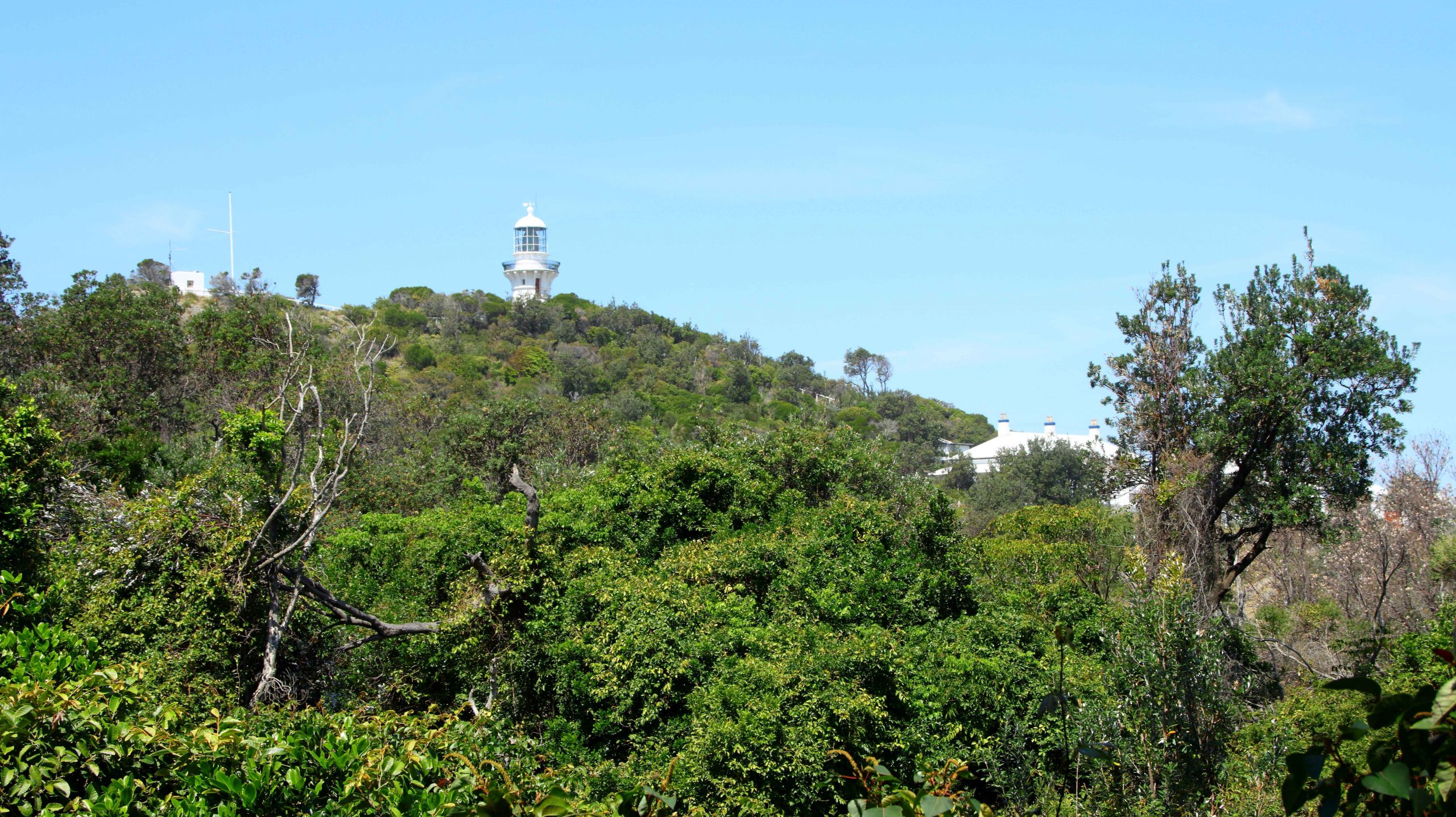
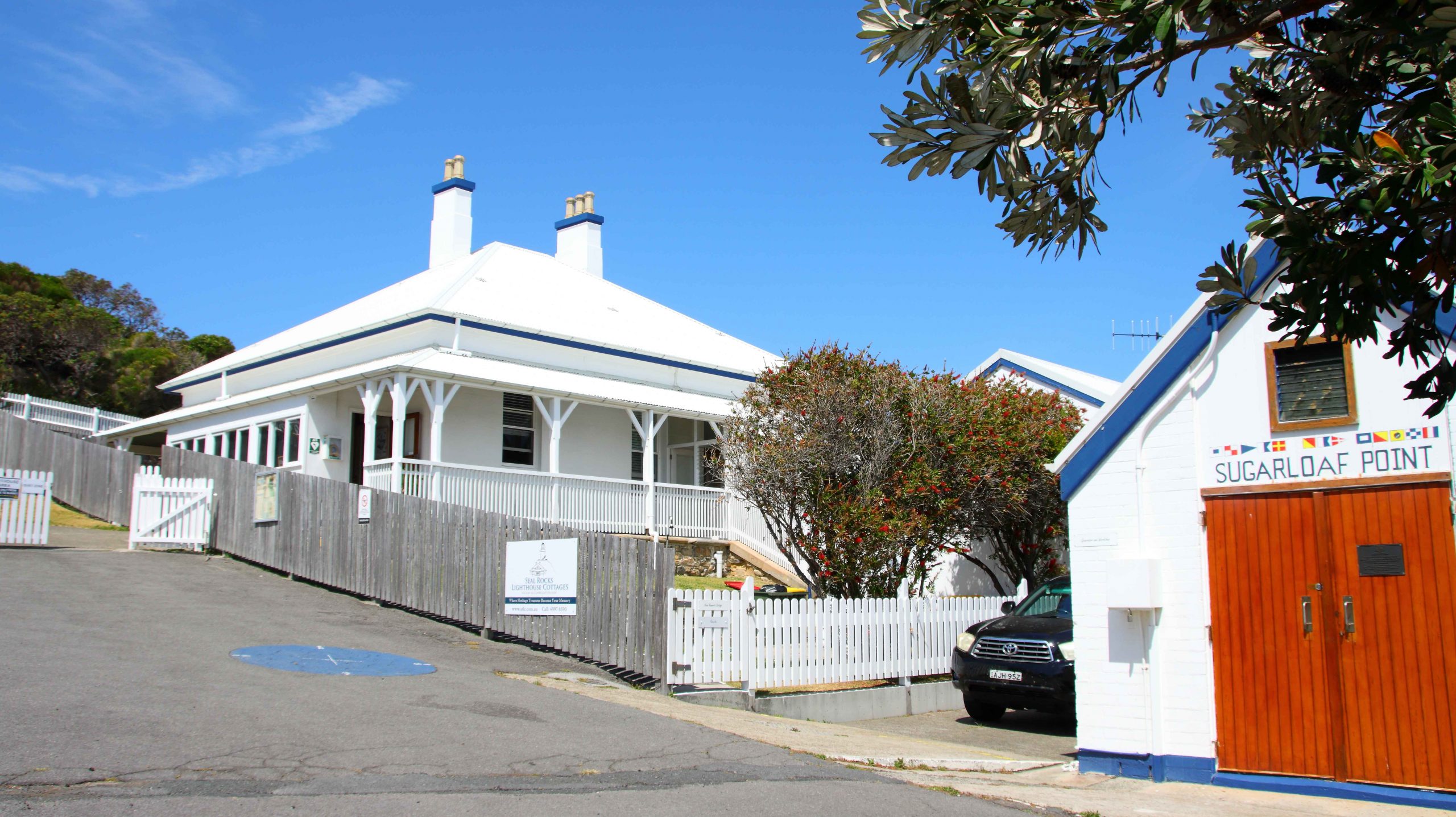
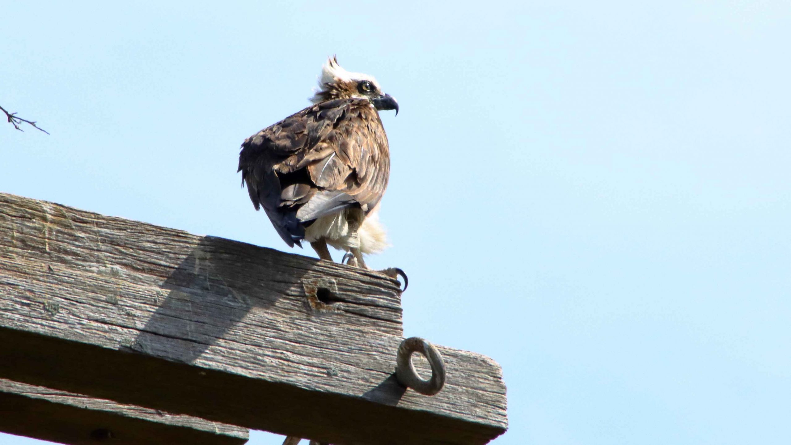
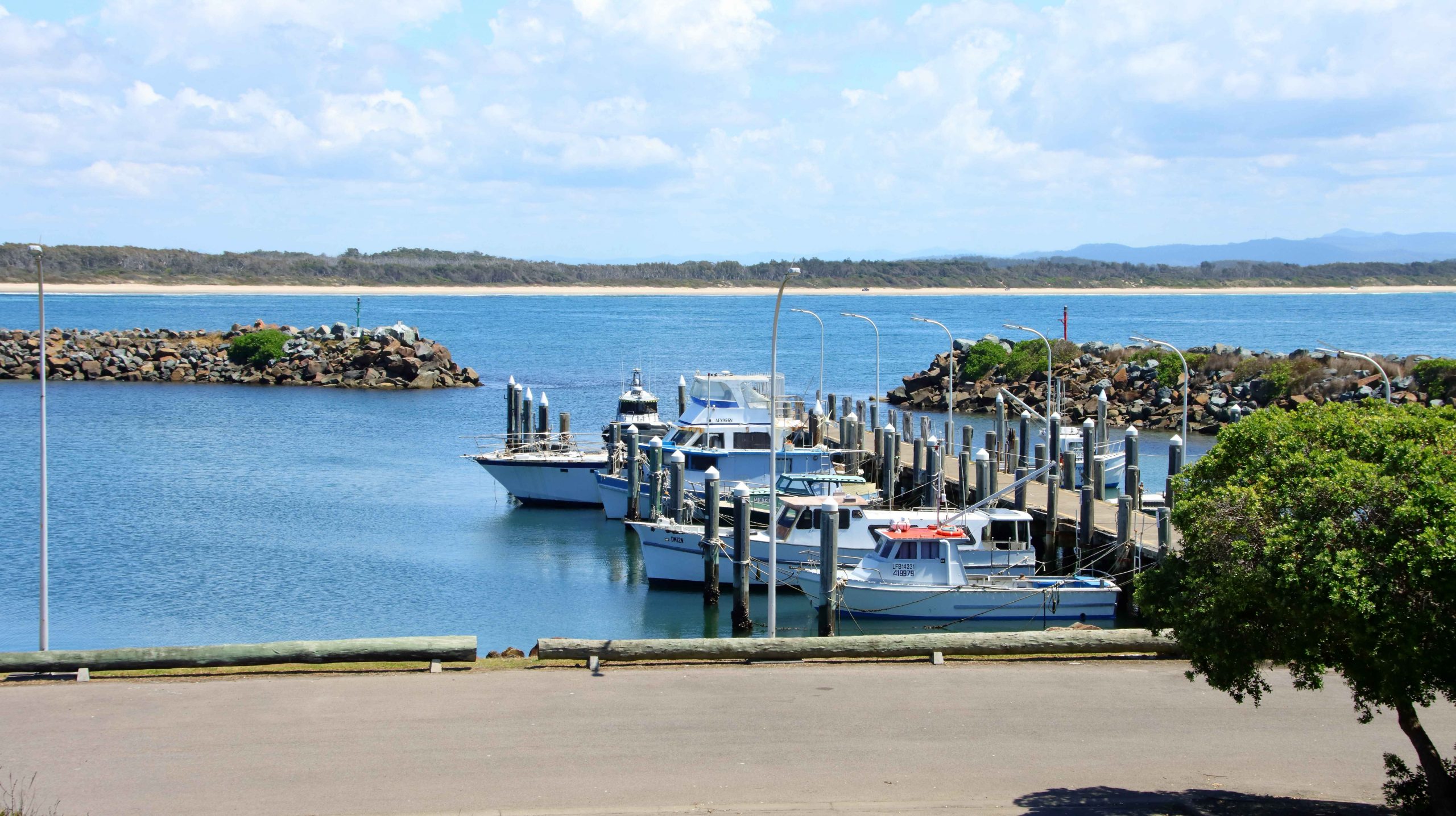
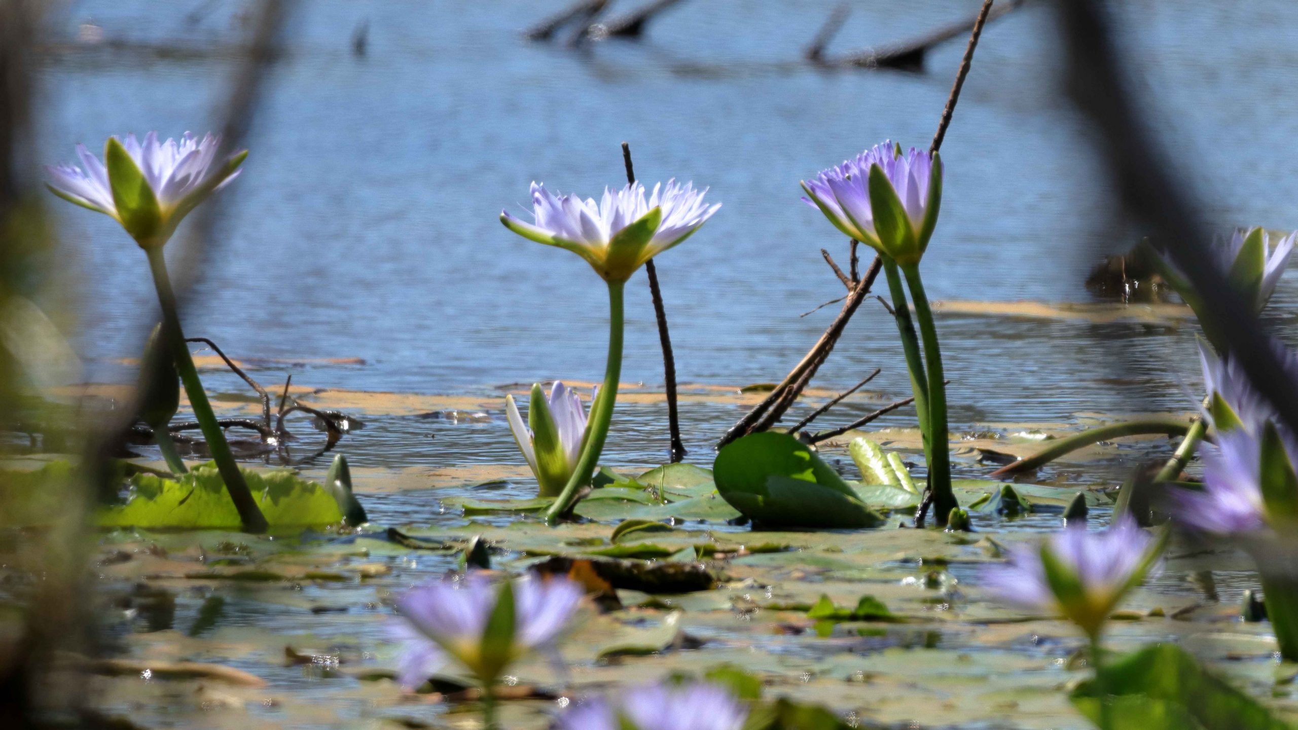
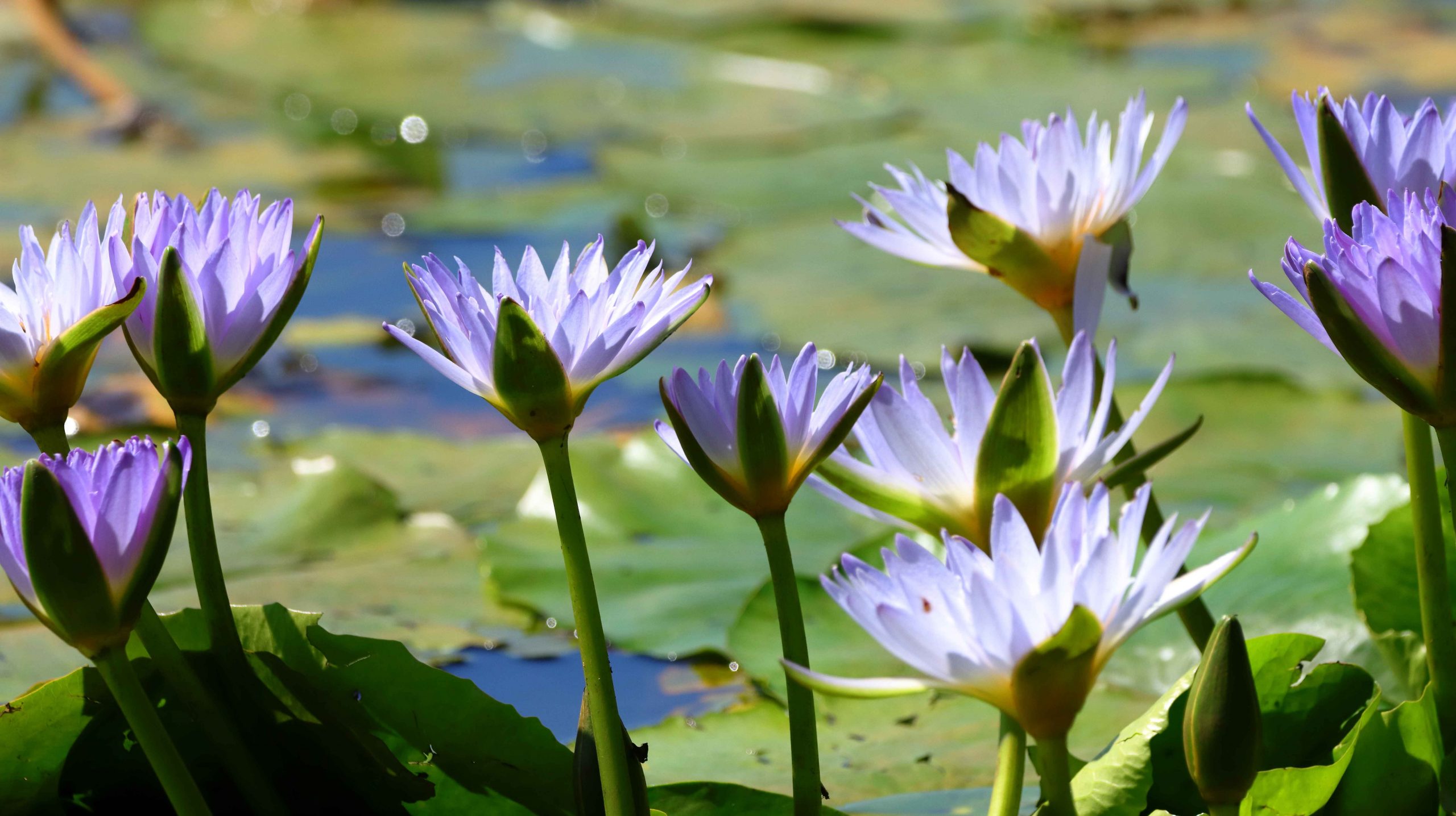
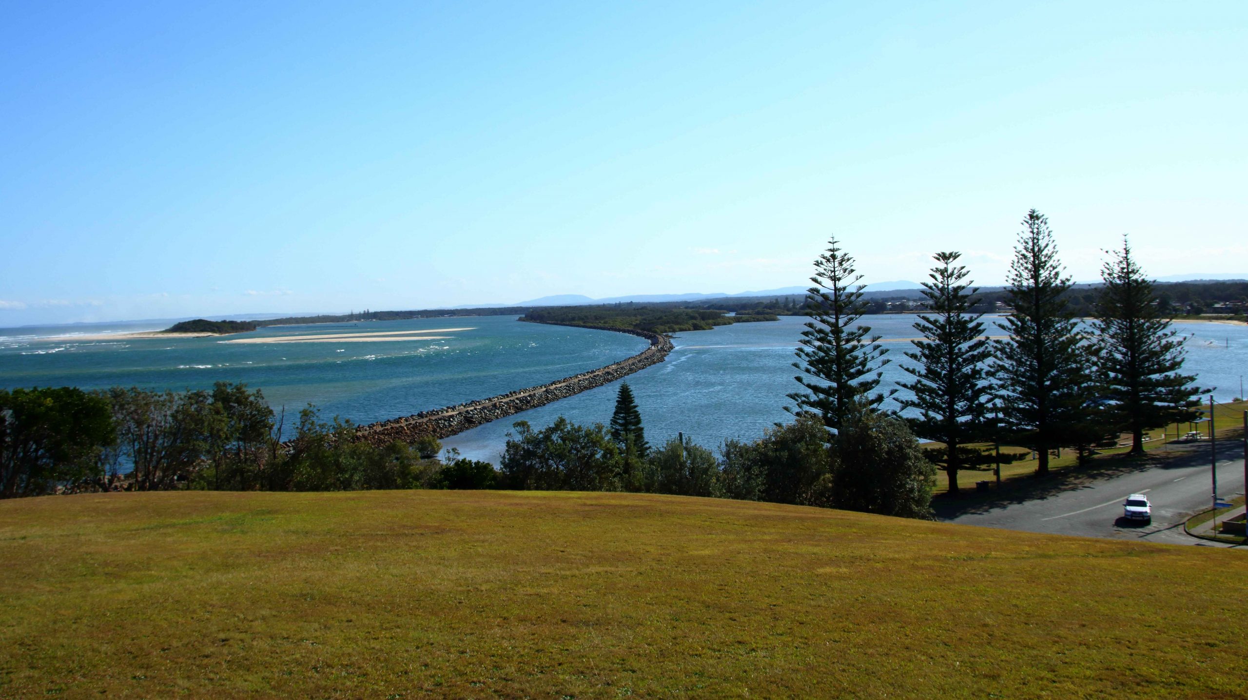
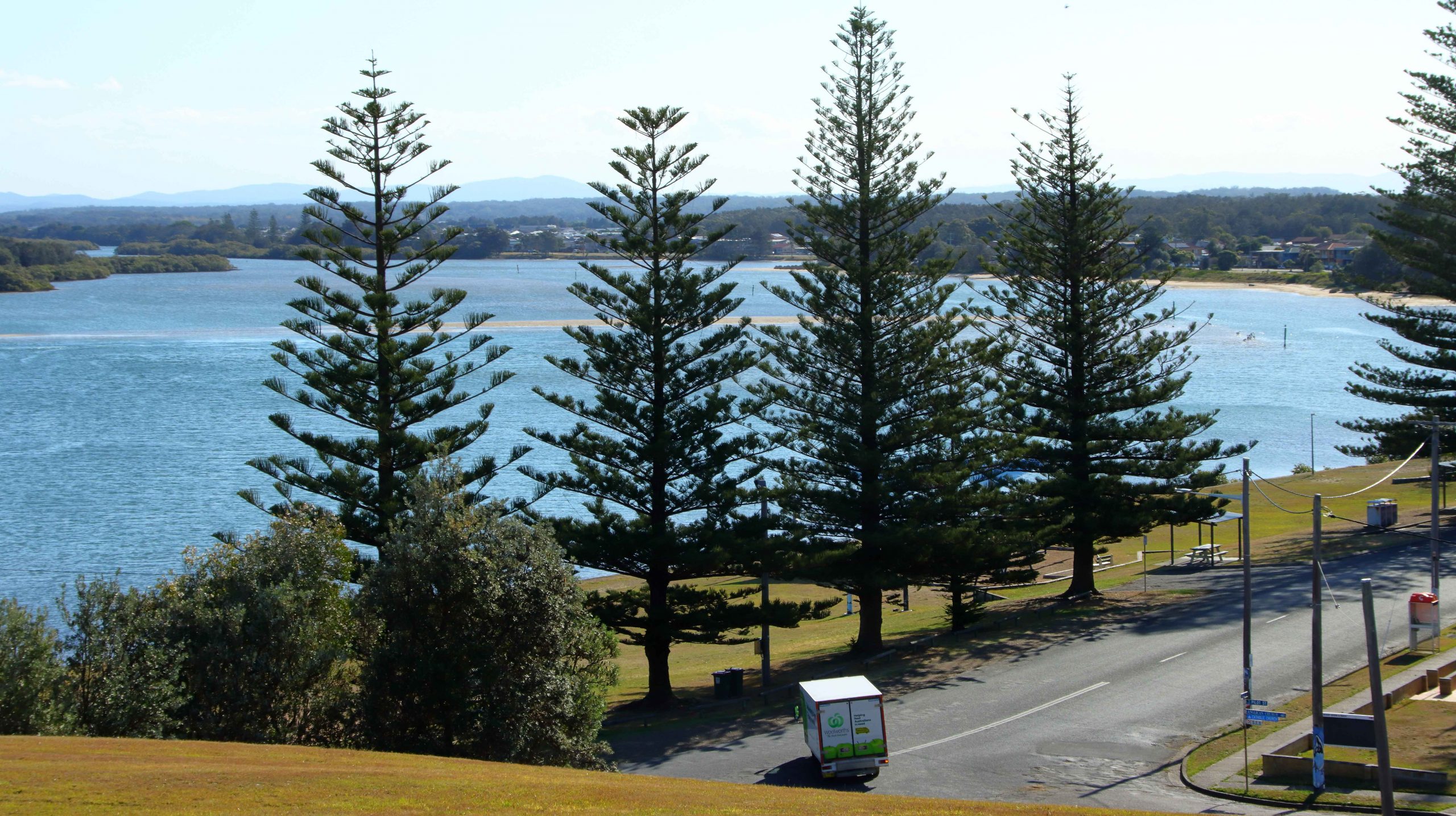
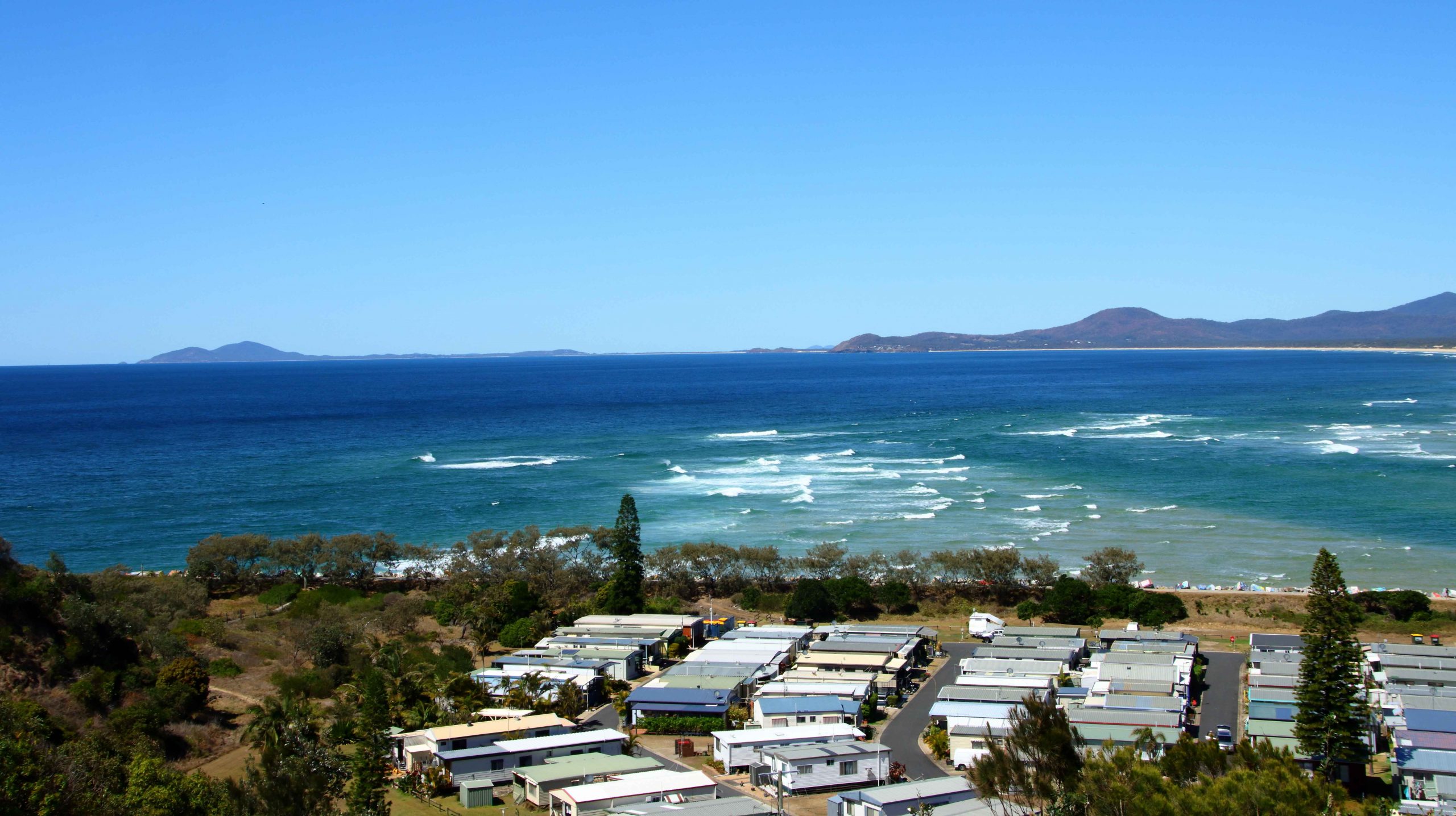
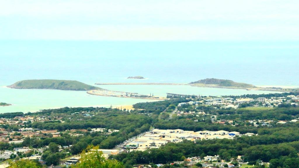
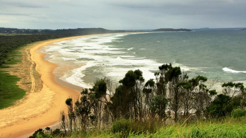
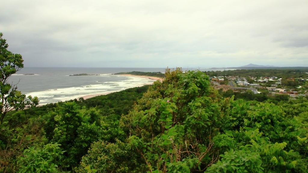
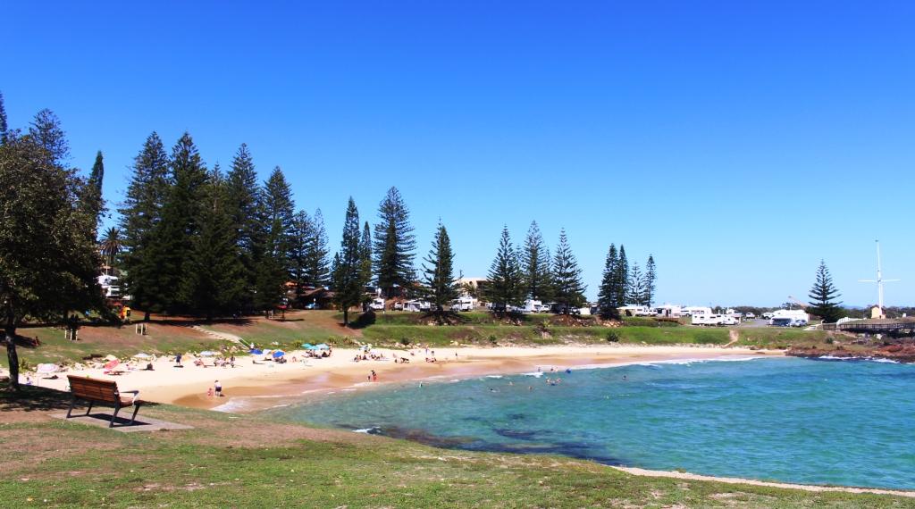
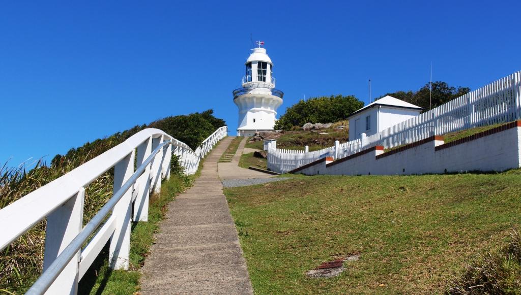
West Rocks, which increased to four nights when we saw how hot it was to be at our intended next destination, just to the north of Newcastle. So we opted for temperatures in the low 30s instead of the low 40s. We used the time to enjoy sea breezes, check out South West Rocks and the adjacent area of Trial Bay. We drove out to Smokey Cape where I climbed up to the lighthouse to take in and photograph the 360 degree views.
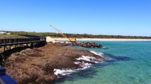
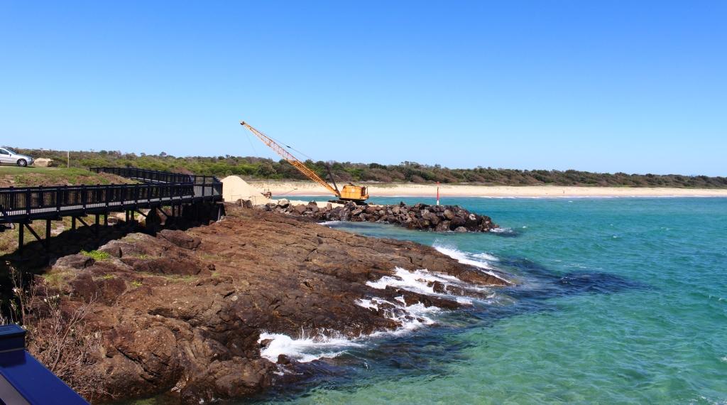
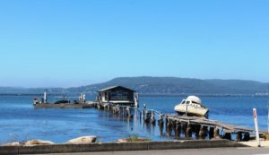
Dredging at the mouth of South West Rocks Creek
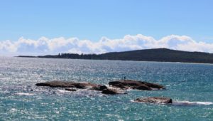
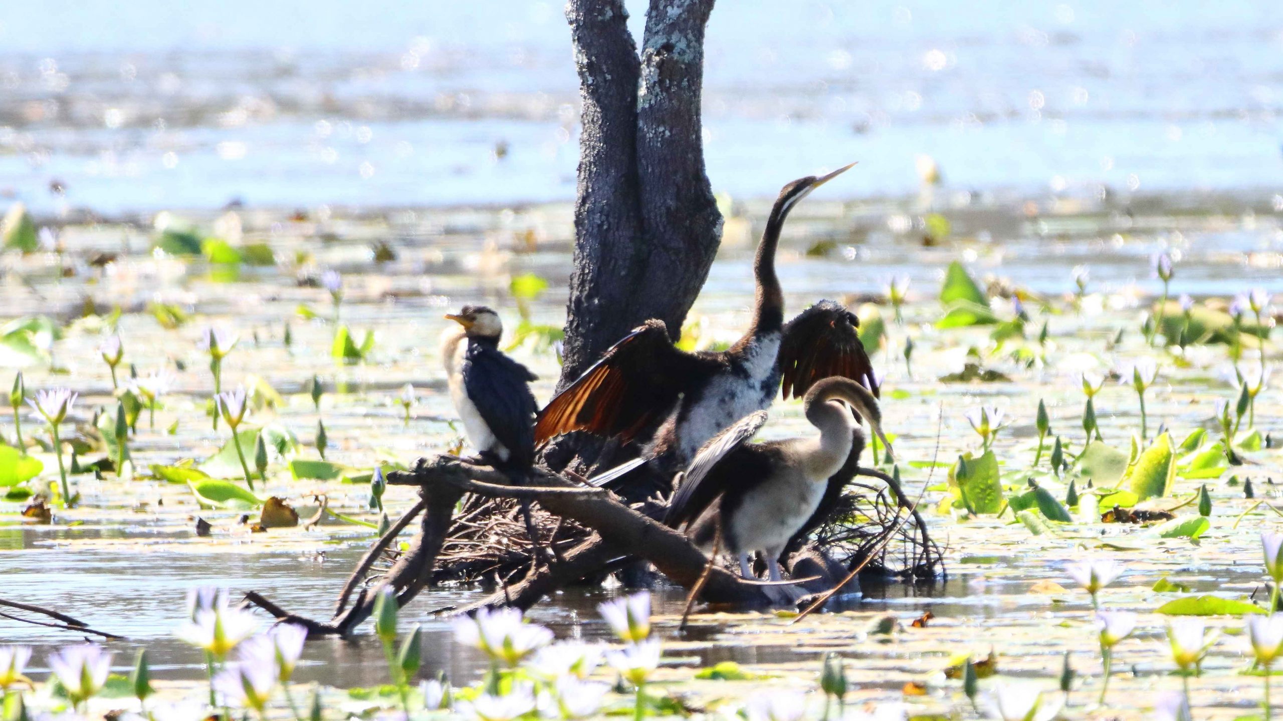
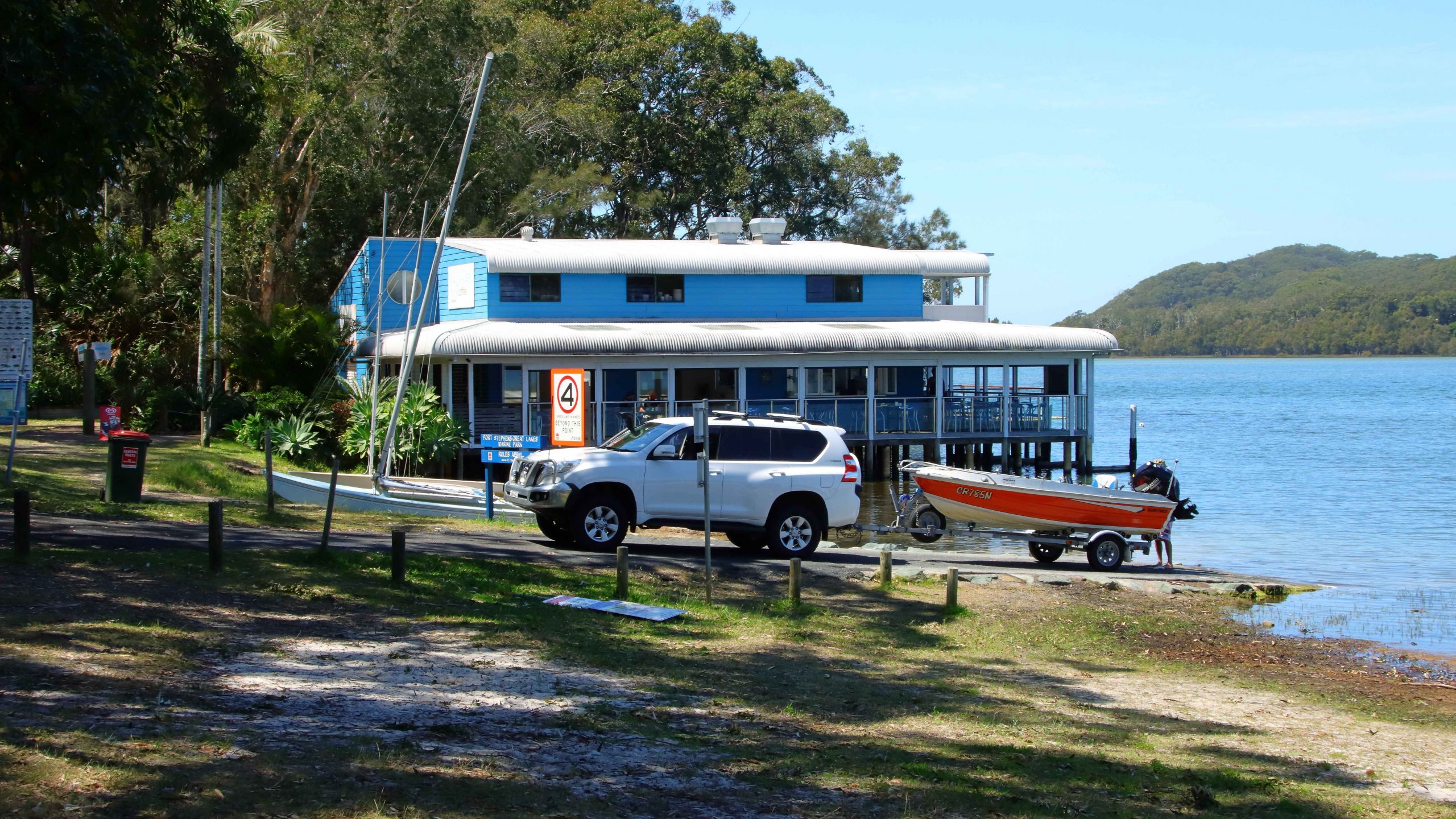
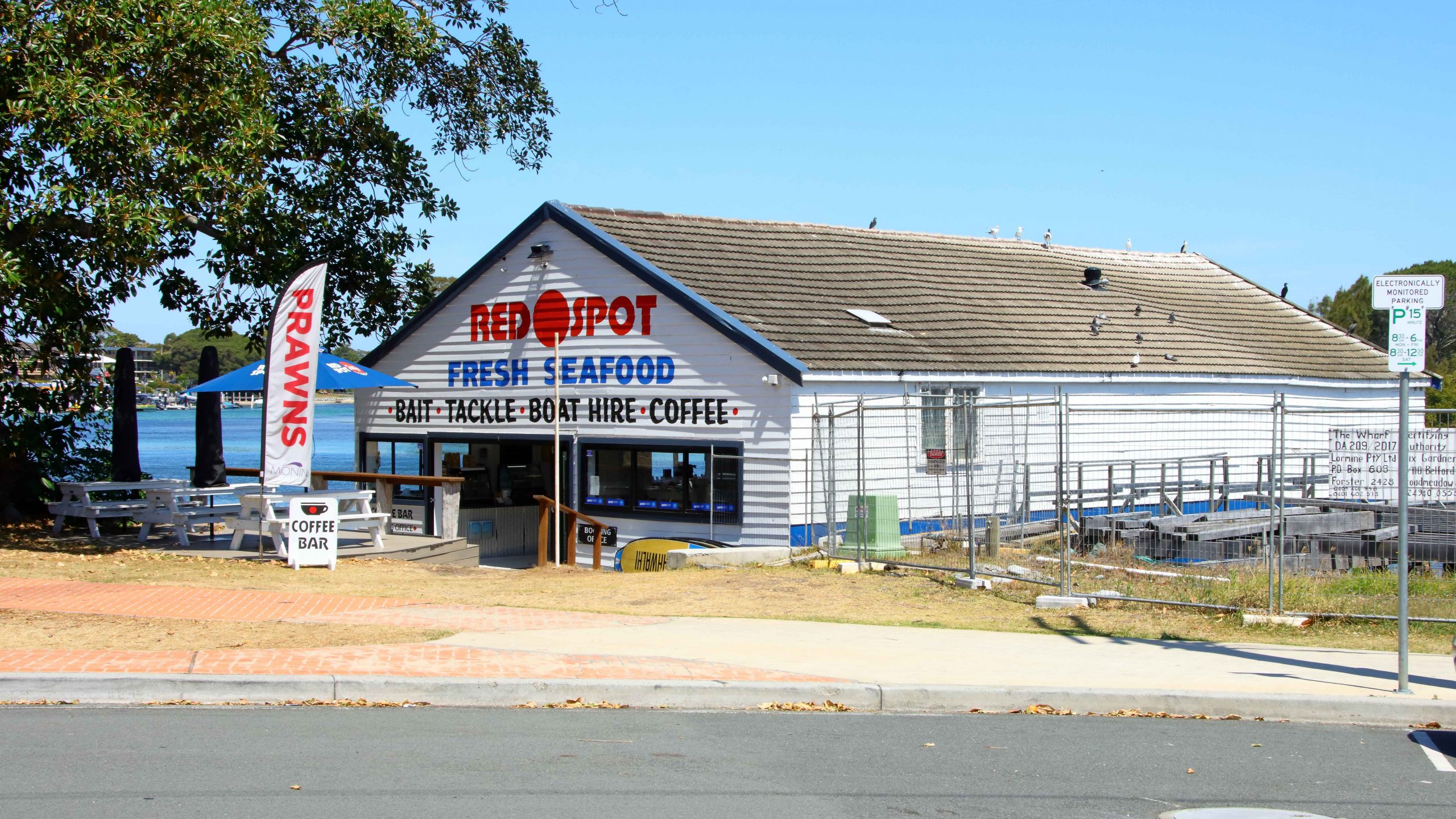
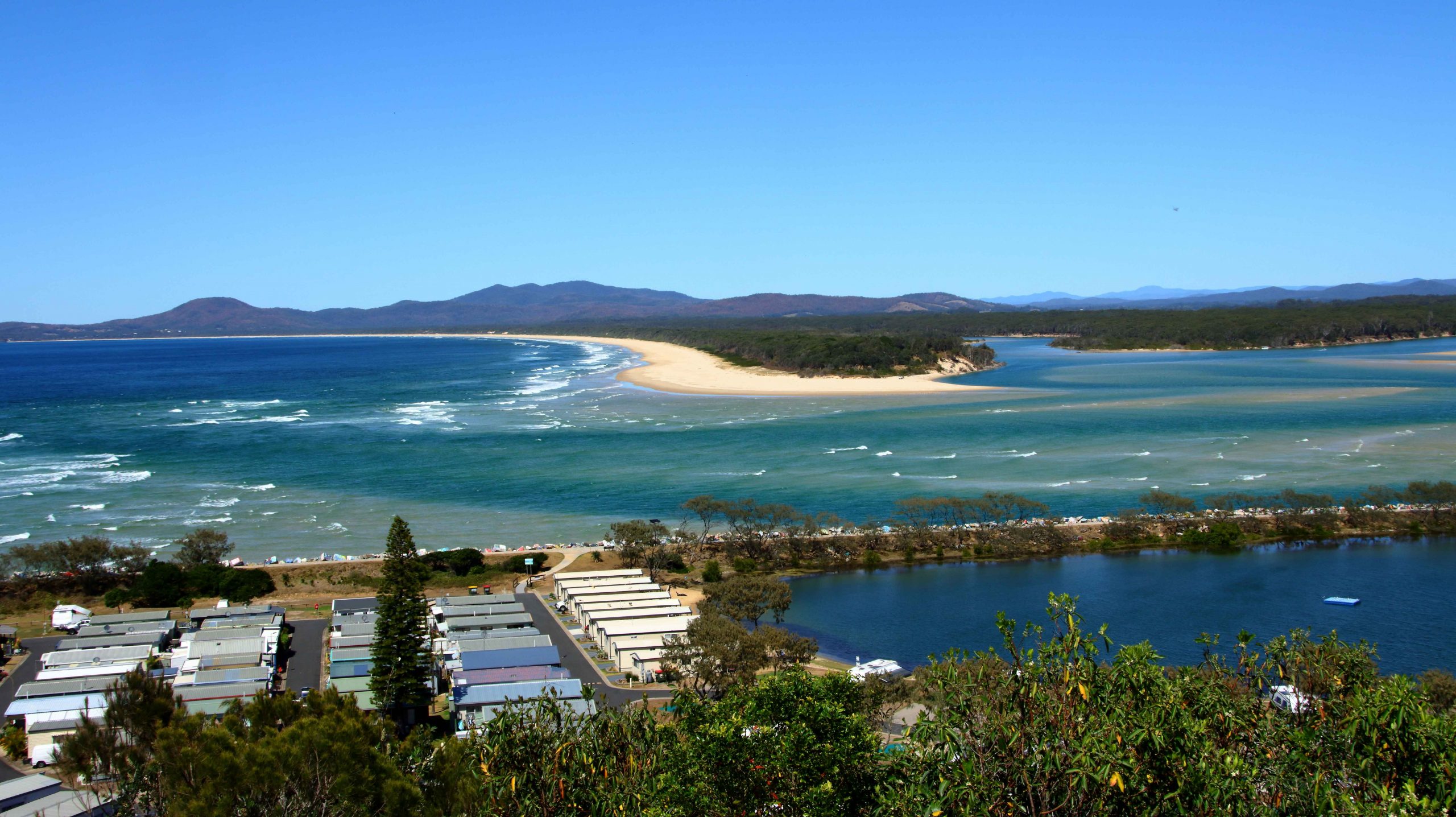
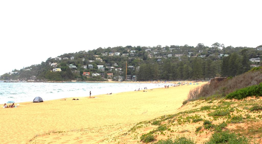
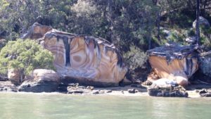
The actual South West Rocks at South West Rocks. The town’s name was derived from the instruction giver to early ships captains to “Anchor with the rocks to the south west”.
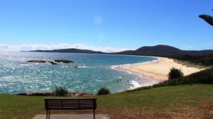
View over Trial Bay to the old prison on the point
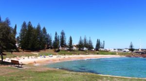
The beach side caravan park. We were at a different park.
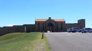
The old Trial Bay Goal, formally the home of convicts.
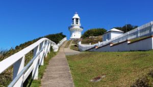
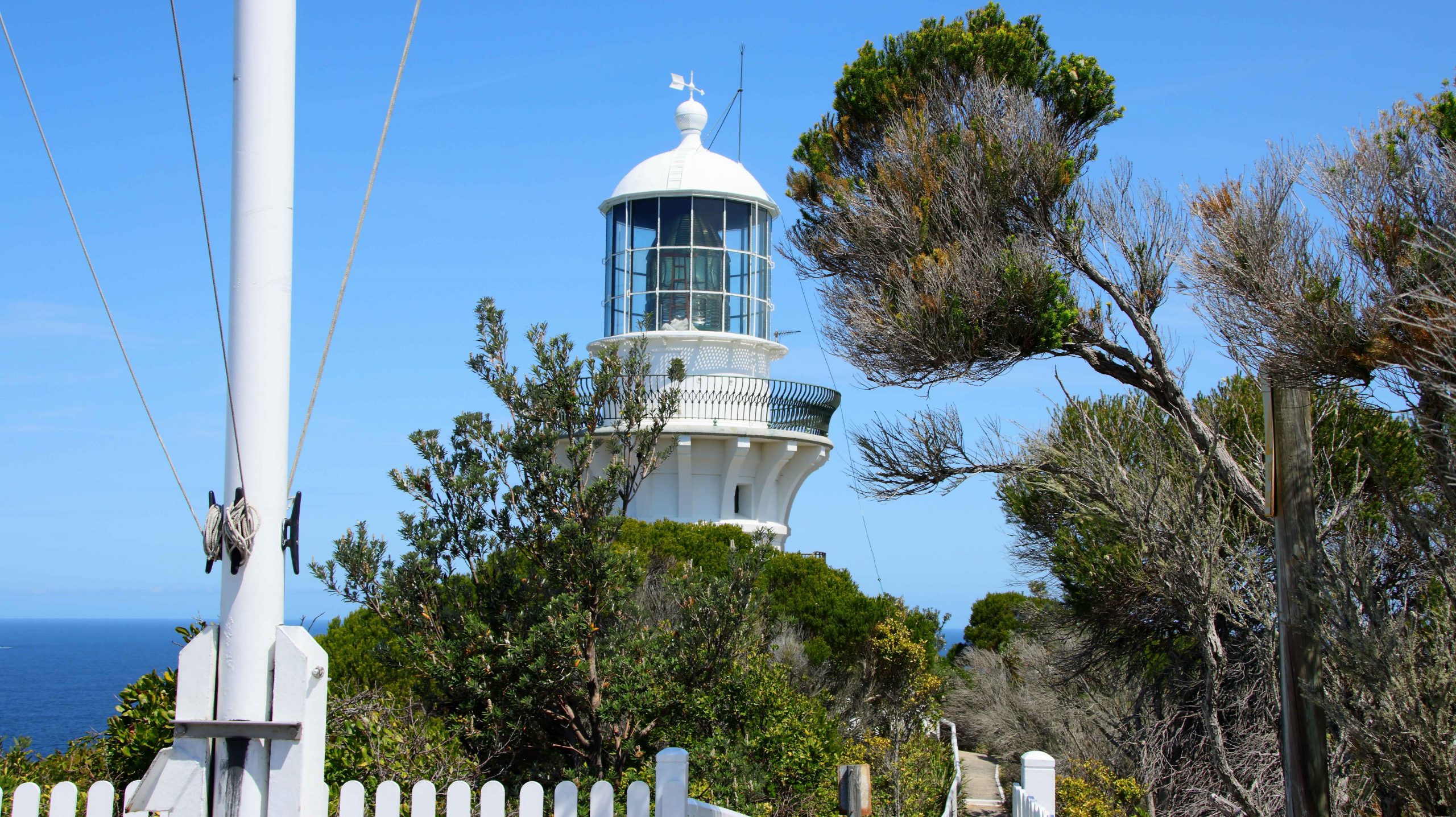
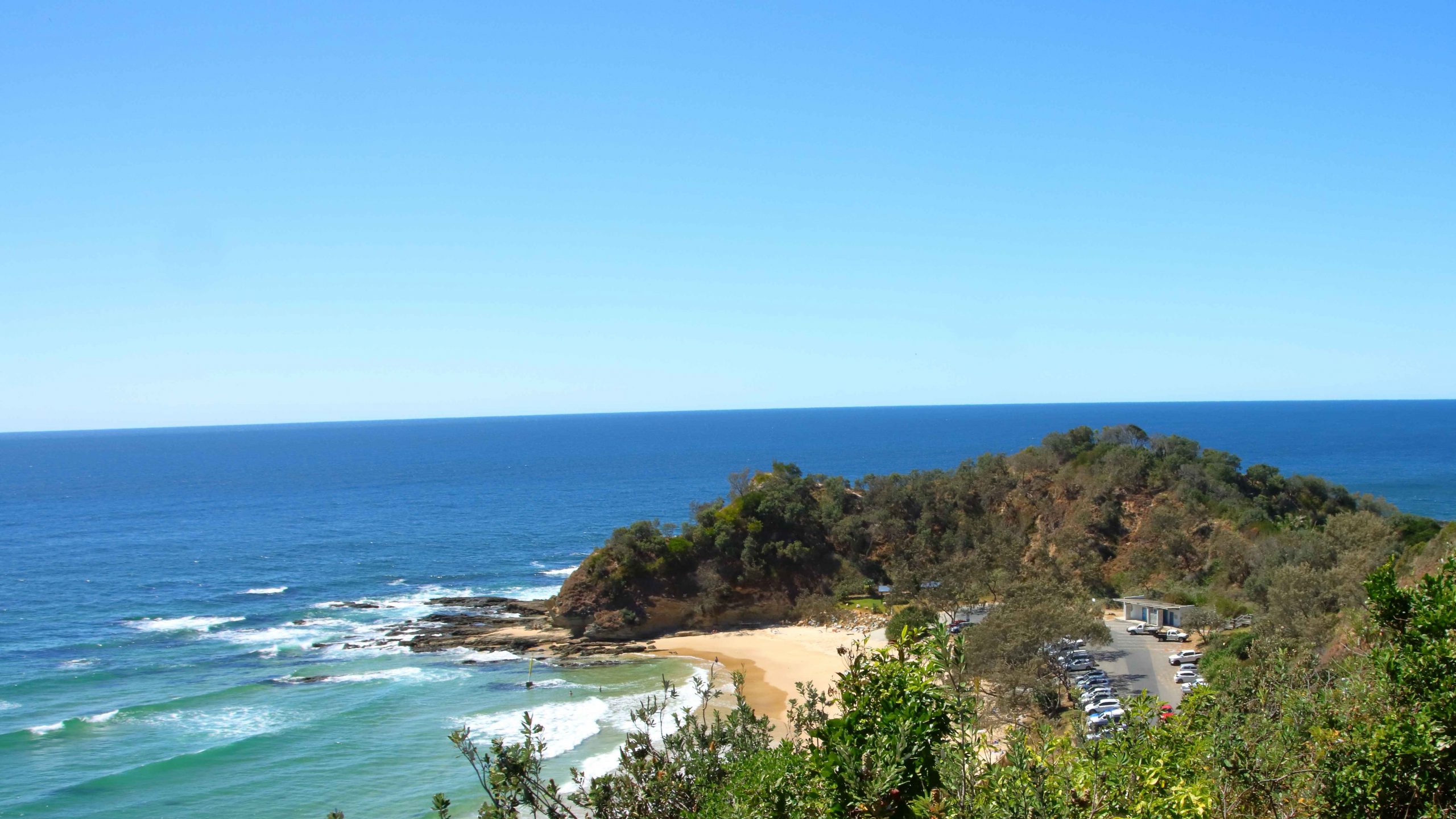
Smokey Cape lighthouse

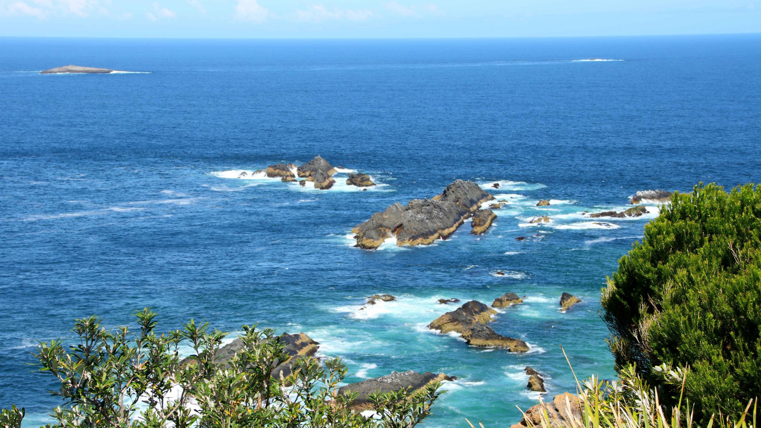
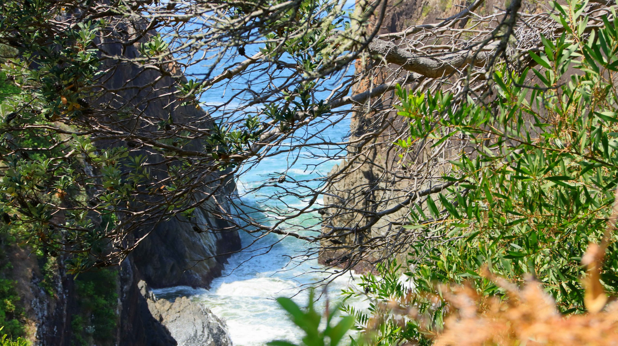
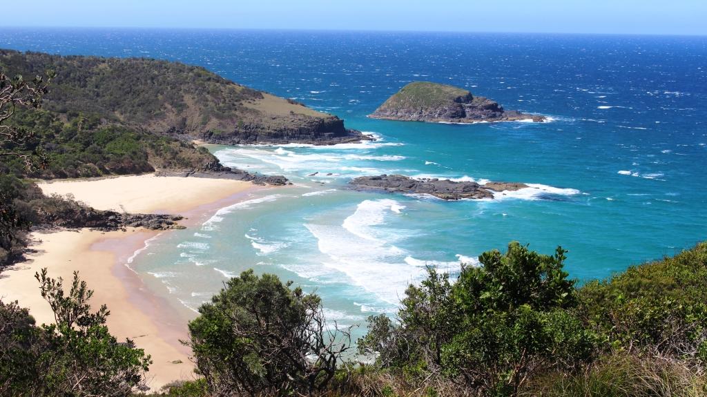
Secluded bays to the north of the lighthouse are accessed mostly by walking tracks.
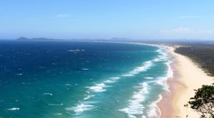
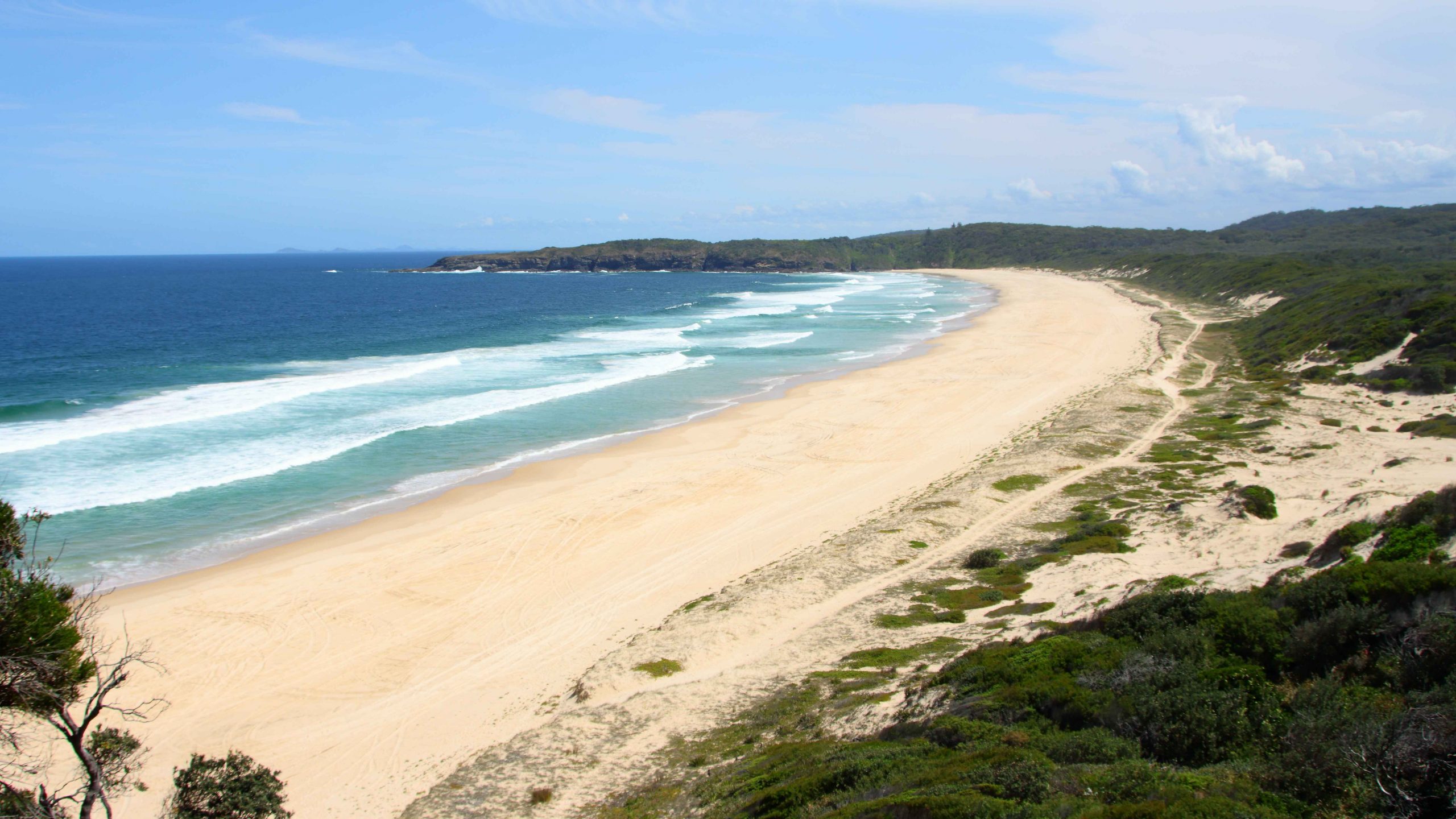
The view to the south of the lighthouse towards Hat Head
We spent the next evening parked in my Brother Ivan’s driveway at Woodberry while we enjoyed hospitality provided by Ivan and Marjorie, his wife. Next day, a lunch stop at West Wallsend allowed us to spend time with Ruth’s Sister Judy and husband Alan and one of Ruth’s cousins and husband. Then it was on to Sydney to our space at the Lane Cove River Tourist Park on the edge of the Lane Cove National Park, at suburban Macquarie Park.
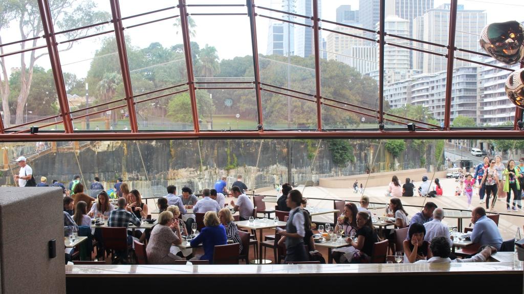
Bennelong Restaurant at the Sydney Opera House
All this brought us to the day. February 3rd is Briony’s birthday. Don’t tell her that I told you, but counting this one, she has had 40 of them. This was a BIG one.
We made our way to Briony’s Erskineville unit, arriving just before lunch. With Briony and her house guest Tiani, over from Perth for the celebrations, we made our way into Sydney for a delightful lunch at the Bennelong Restaurant at the Sydney Opera House. Excellent food and service, outstanding views and the reason that we were there, made it an event to remember.
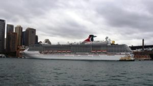
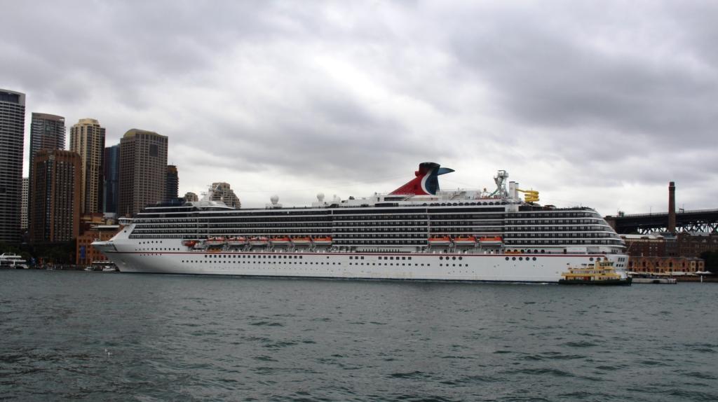
We had great views of a cruise liner from the restaurant.
Time then for a bit of a rest while the guest of honor visited the hair dresser and then it was time for the main event. Briony had booked an upstairs room at the Rose of Australia Hotel at Erskineville. The event was a cocktail party with finger food. The 75 guests, about 20 of whom travelled from Brisbane for the occasion, were adequately provided with both food and drink. For us it was an evening of meeting friends whose names we knew from Briony’s interaction with them on Facebook and renewing some old acquaintances. We met some of Briony’s Sydney friends for the first time.
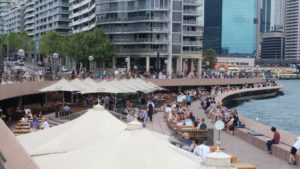
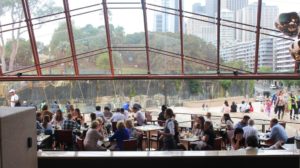
The general restaurant and bar area at the Opera House.
The following day Briony had arranged for bare foot bowls and lunch at the Erskineville Bowls Club but the day was hot and only the hardy saw the game to its conclusion. I retired to the shade and a long cool drink after bowling only two ends. Ruth had opted to be a spectator.
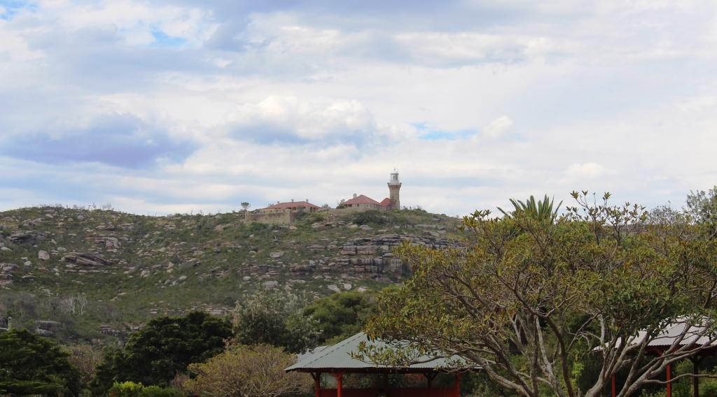
The lighthouse on Barrenjoey Headland at the northern end of Palm Beach.
We then had two quite hot days to get through before we left Sydney to go further south. The first we split between lunch at a local shopping mall and a drive to Palm Beach. The air-conditioning in the car was almost as good as the cool of the shopping mall but had the additional advantage of the fantastic views of and from Sydney’s northern beaches.
Luxury homes overlooking Palm Beach
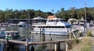
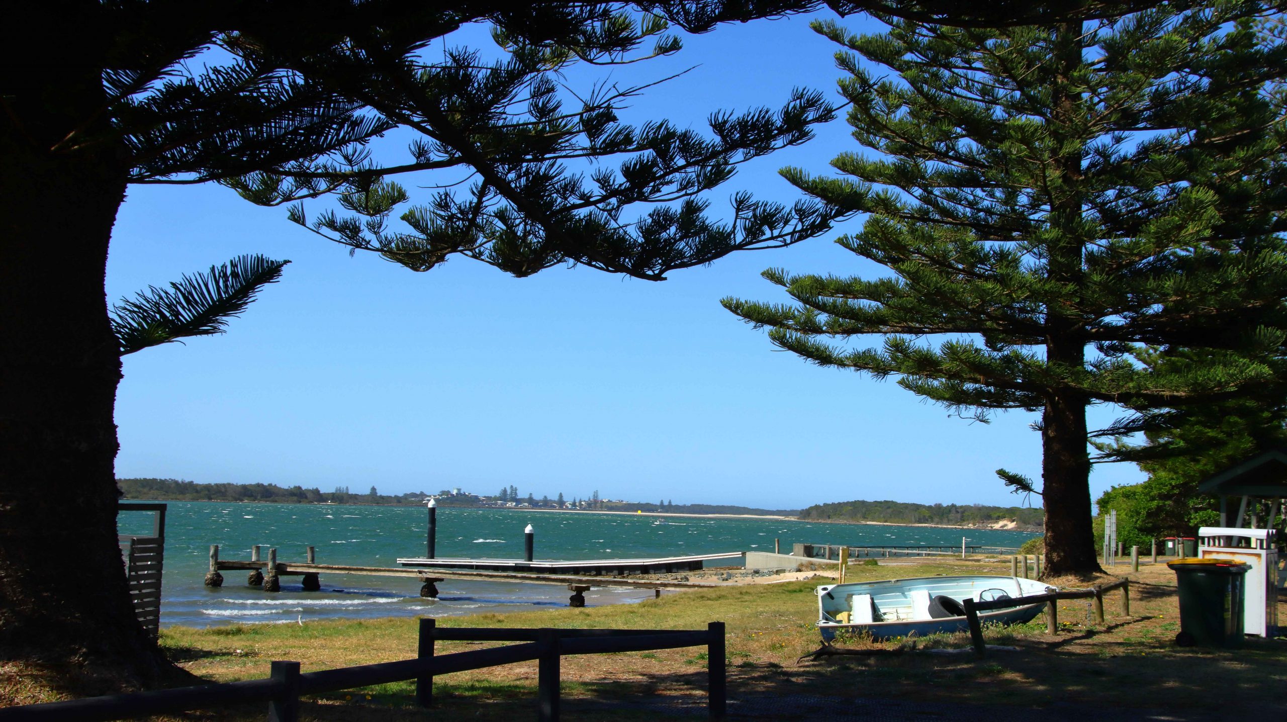
Our ferry at the Brooklyn ferry terminal.
On the second hot day, the Monday, we had booked a cruise with the Riverboat Mailman on the Hawkesbury River. An air-conditioned passenger catamaran fulfils the twin functions of providing an informative and scenic tour of part of the river north of Brooklyn and delivering the mail to a number of small riverside communities.
Naturally decorative rocks on the shore of Long Island Nature Reserve near Brooklyn
The tour lasts for three hours, includes morning tea and lunch and includes delivery and collection of mail to the small river communities whose only access to the outside world is by the river. Mario, the skipper, provided an interesting and at times humorous commentary about the history of the river and life upon its banks. The passage of the boat provided cooling breezes that supplemented the AC and made life on the upper deck tolerable, but only for short periods. The mercury was at around 38 Celsius.
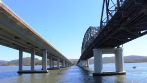
The road bridges over the Hawkesbury near Brooklyn. The new highway bridge is on the left.
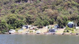
A small community on the river
A real estate investment opportunity at Marlow, the most distant mail drop of the day.
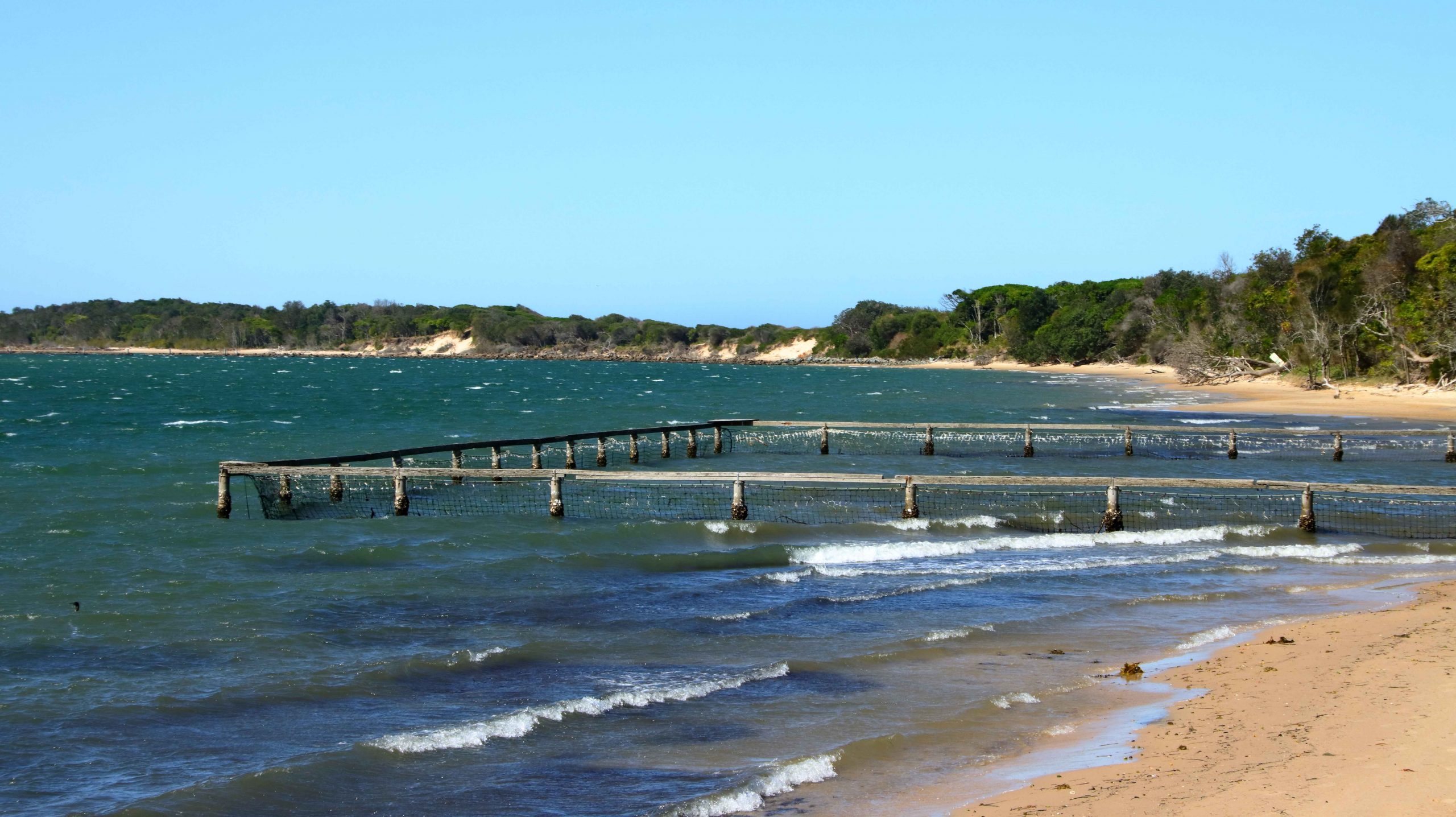
A derelict oyster wharf near the site of the former Sheather’s Wharf.
When the cruise finished at 1.00 pm we still had half of a hot day to deal with, so we went in search of Sheather’s Wharf. We had seen a photo in our local pharmacy’s calendar of this jetty. Not everyone has a wharf in the family. Naturally we wanted to see it. Alas, it is no more but appears to have been demolished relatively recently to make way for a marina and restaurant. I photographed its poor relation near by to give you the idea. If you want to see the real thing simply Google “Sheather’s Wharf” and you will see it in all its splendour. If I were to reproduce the photo here I would probably be breaching someones copyright.

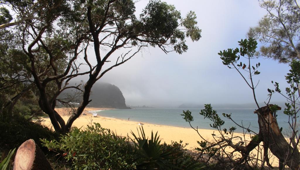
Fog obscuring the view near Patonga.
Because I had never been there before, we drove on to Patonga. This small hamlet is located on a beach on the northern shore of the Hawkesbury. Glimpses of Barrenjoey Headland are to be had from the right spot. A passenger ferry service links the town to Palm Beach.
The surprise to me of the area was the thick banks of fog rolling in on such a hot day. There was not much wind so the fog was rolling in slowly, obscuring the scenery as it rolled.

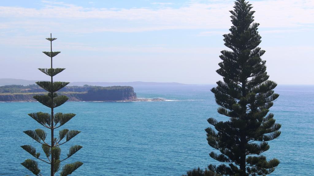
Point Perpendicular would you believe? It is located just north of Kiama.
The plan had been to move on to Camden for three nights before heading home, but the weather intervened again. Temperatures in the low 40s were predicted for the days that we were to head back north so, as a compromise, we decided to stay on the coast and booked six nights at Shellharbour, just south of Wollongong.
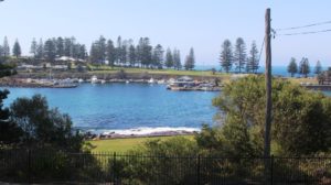
Kiama harbour and headland
So on Tuesday we drove to Shellharbour. After packing up in drizzling rain we drove through a thunder storm as we crossed Sydney’s near western suburbs and then, at the top of the range before descending to Wollongong, we struck fog so thick that the road side warning signs instructed us to turn on our hazard lights. That has never happened to us before. It was a bit spooky driving down a very steep gradient with no visibility and have sets of flashing lights coming out of the fog behind us and disappearing again into it ahead of us. Thankfully we were on a divided highway.
The view from the Shellharbour Caravan Park.
The caravan park at Shellharbour is on a headland and rather exposed. On Tuesday evening a rain cell made its way up the coast from the south and tipped torrents of rain onto us for about three hours. There were reports of flash flooding next morning but we didn’t see any excess water as we made our way to Bowral.
Ruth’s youngest brother Wallace and his wife Ginny have been residents of Bowral for many years. We have visited them many times before but never via the Macquarie Pass. Bowral has an altitude of 680 metres while Shellharbour is at about 10 meters, so it is a sharp ascent. Part way up, the rain started again and the fog came down. No divided highway today but the winding road was mercifully quiet.
We spent a pleasant day with Wall and Ginny and many mutual experiences were relived. We than took ourselves off to visit Ruth’s younger half-sister Dorothy and her husband Peter, where we enjoyed dinner and the company of their two daughters and one boyfriend and spent the night in a comfortable air-conditioned room.
The Brackens are a working family so it was an early start to be out of their way as they commenced their day. Our next call was with retired friends who live in a retirement complex on the northern beaches of Wollongong. Marion is a friend from Ruth’s childhood. I have known her and Cliff, her husband, since their marriage. They stayed with us on their honeymoon trip to Tasmania all those years ago, when we lived in suburban Melbourne. Again much reminiscing! How good those old times were! That’s how we remember them, anyway.

Hampden Bridge in the Kangaroo Valley, inland from Kiama.
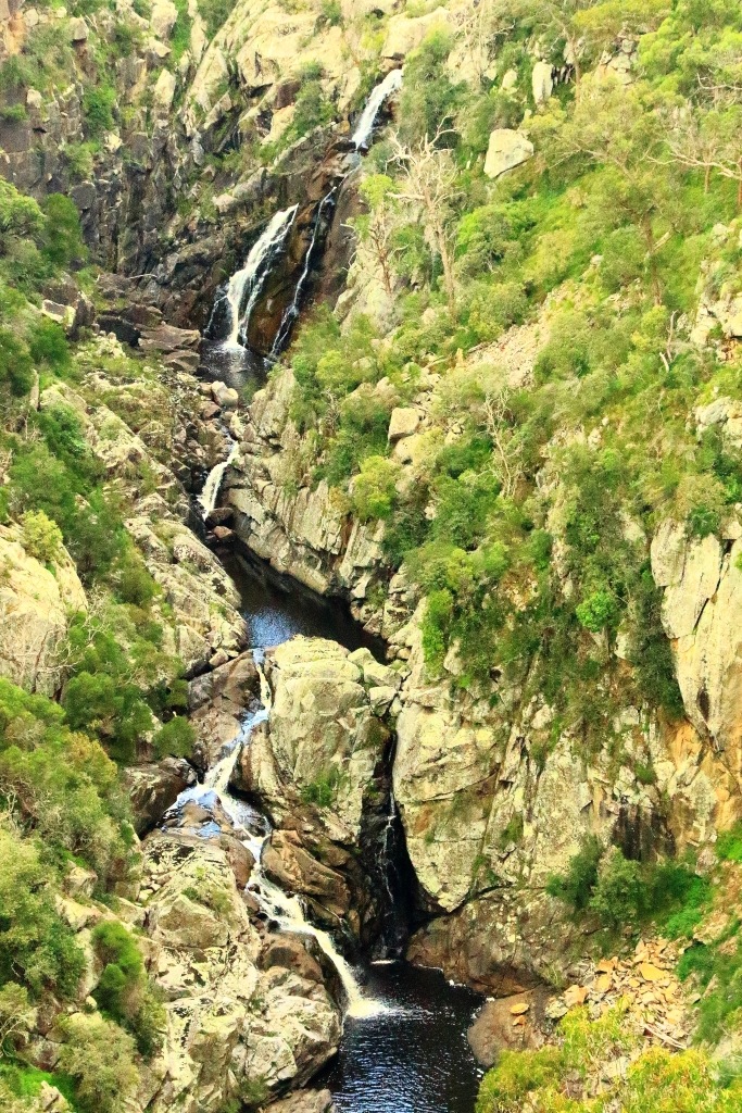
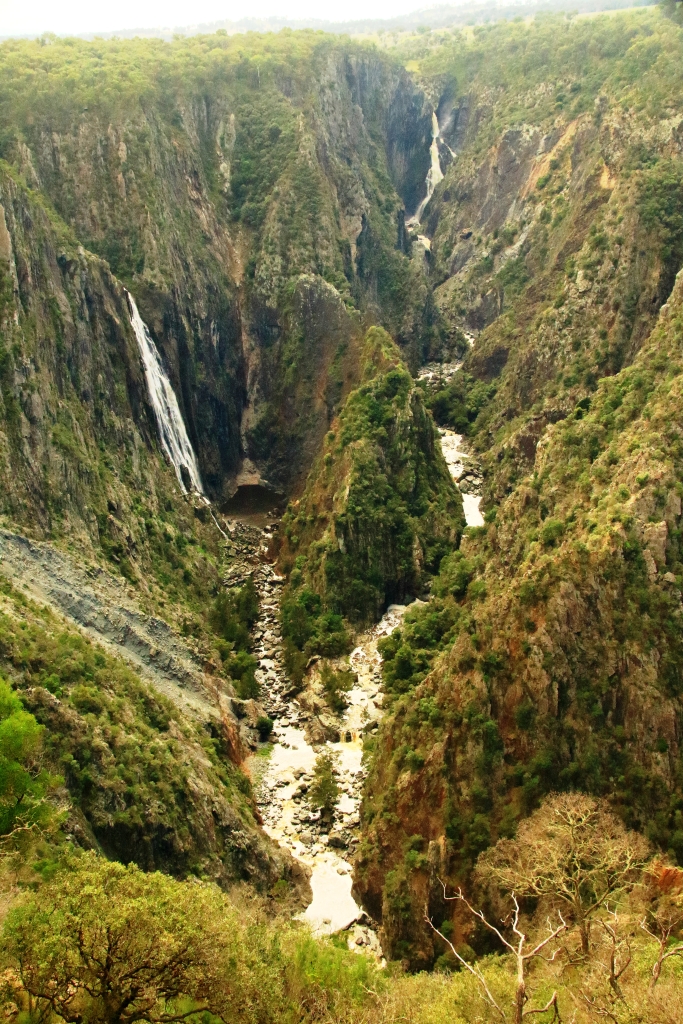
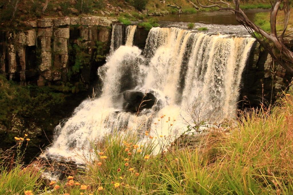
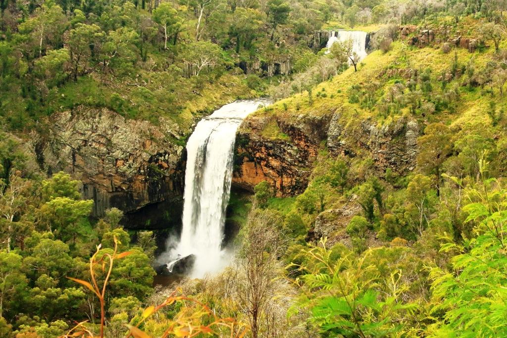
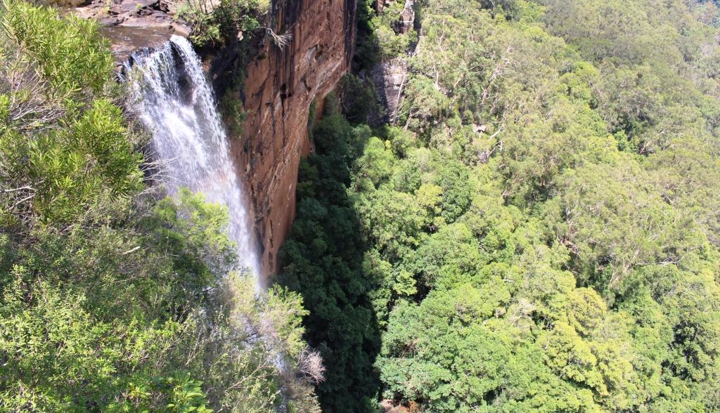
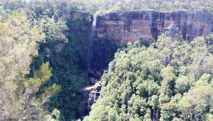
We now were faced with a hot Friday and weekend, before we made our way home. Friday was spent partly shopping, partly sitting in the sea breeze and the rest in the relative comfort of the caravan. On Sunday we opted for the AC in the car again and went for a drive. First to Kiama and then inland, over the coastal range to Kangaroo Valley and then up the escarpment to Fitzroy Falls. The walk to the falls, although short was warm, with the temperature around 38. I walked on another 800 meters to another
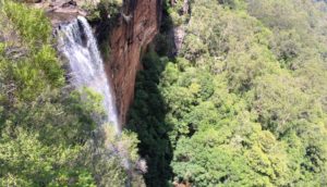
Fitzroy Falls up close …
viewing point for the falls and wondered part way if that was a wise move, but I made it back without harm.
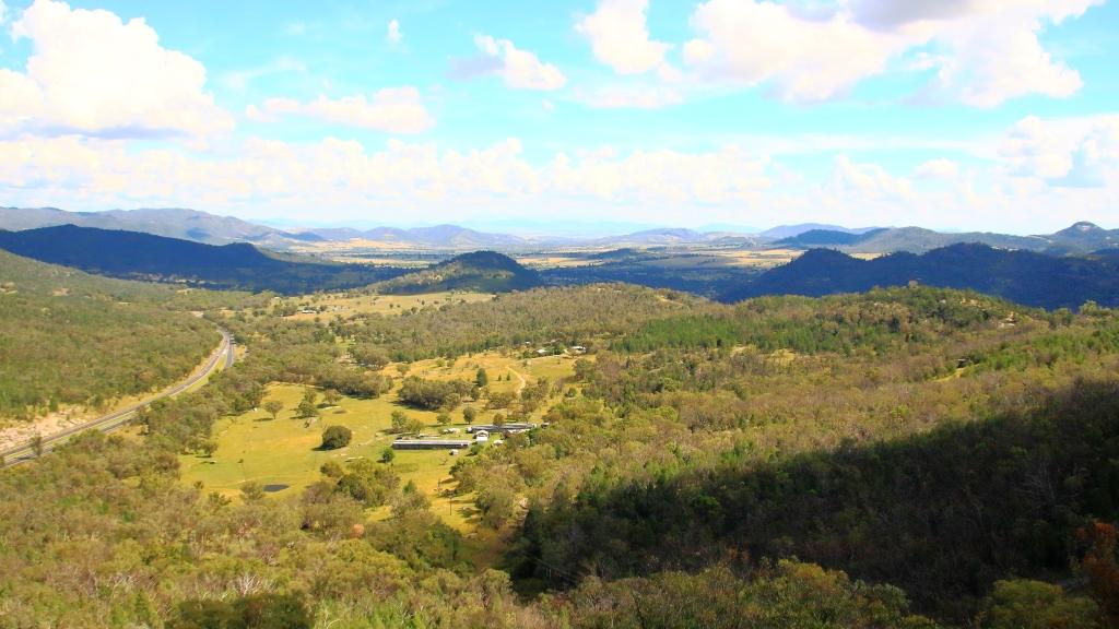
We lunched and then returned down the mountain by a different road, calling in to an excellent lookout that provided views over the coastal plain around Kiama before returning to the van via the rather attractive rural town of
… and from a vantage point gained by a hot 500 meter walk in 38 degrees.
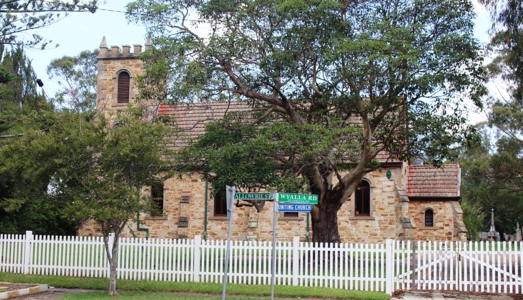
Jamberoo, with its streets lined with flowering trees and its quaint brick churches complete with square battlement topped steeples.
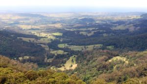
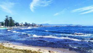
A view over the coastal plane near Kiama.
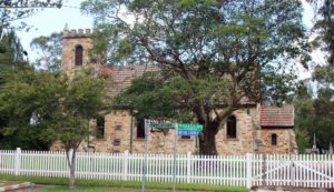
Formally a church, this historic building is now a restaurant.
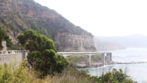
This cliff foot Sea Cliff Bridge spans the breakers beneath.
The weather cooled on Sunday and was much more pleasant. Initially we drove north along the coast to Stanwell Park, past the many historic coal mining towns and over that stretch of highway built out over the ocean around the foot of the cliffs. We did that drive from both directions with the action video camera in operation. The results are attached for you to see.

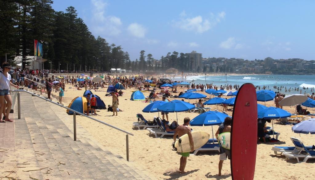
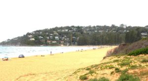
Busy Manly Beach
From Stanwell Park we drove up to Helensburgh, parked the car and caught the train to Sydney. Circumstance had prevented us from going afloat on Sydney Harbour and we had never before travelled into the city from the south by train. The tip took an hour to Circular Quay where we caught the ferry to Manly.
Manly was a popular place that day. The crowd on the ferry was reminiscent of a morning commute. But the sun was out and so were the pleasure craft. Having sailed my own yacht on Sydney Harbour I derive much pleasure from watching the variety of craft on its waters.
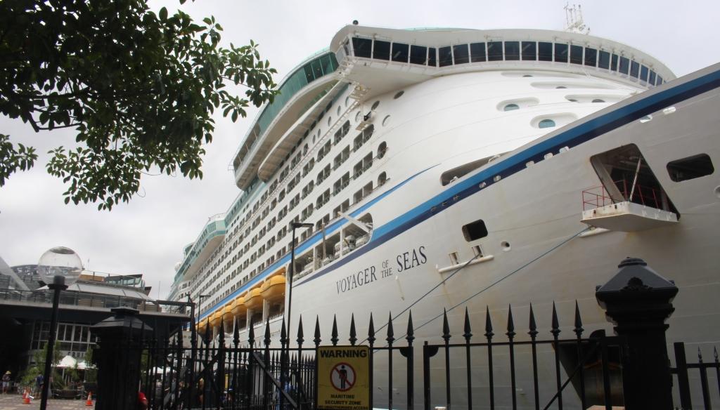
Another cruise liner at the Circular Quay passenger terminal.
The beach was busy with a couple of surf related activities under way which partly explained the crowds. We found a vacant table on the footpath at a restaurant within view of the beach and within reach of the sea breeze, where we dined on good old Sydney sea food.
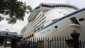
Lunch over, we made our way back by ferry and at Circular Quay, took a walk to see the cruise ship “Voyager of the Seas” that was in at the adjacent cruise liner birth. Then we were back on the train to Helensburgh.
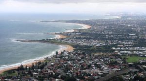
The south coast of NSW near Wollongong as viewed from Sublime Point.
On the way back to Shellharbour we called in at Sublime Point for that stunning view of Wollongong and travelled down Bulli Pass to remind ourselves why we do not use that road when towing the caravan.
On Monday morning we were homeward bound! We spent Monday night with my Brother near Newcastle to make up for the night that we had missed on the way south.
Although I had lived in the area in my early years I had never been on what was the Old Pacific Highway that ran through Gloucester and Krambach to Taree. These days, it is called The Buckets Way. So this time we did the detour. Much of the road needs maintenance but parts have been rebuilt. It is quite a pretty drive.
Two more nights spent one each at Old Bar, near Taree, and Ballina and we were home again, just before lunch on Thursday.
Here is the video of the drive along the Sea Cliff Bridge near Wollongong.
A Drive Along the Sea Cliff Bridge