The Road Home – The Manning Coast & Home – October 2023

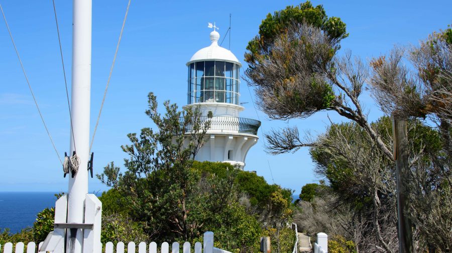
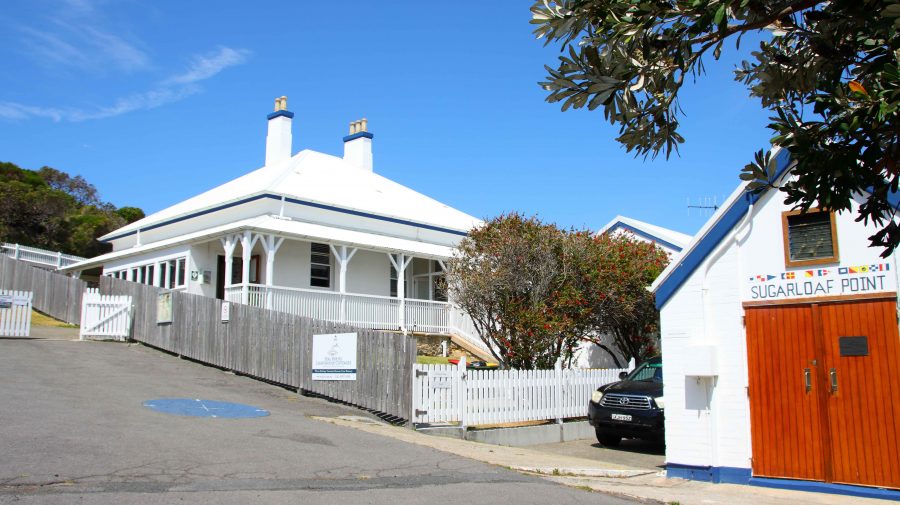
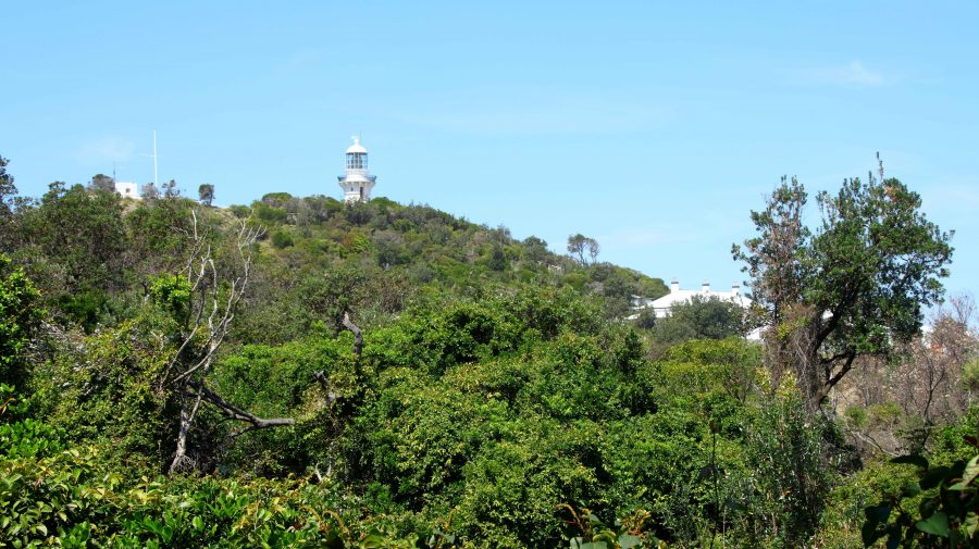
First glimpse of the Sugarloaf Point Lighthouse at Seal Rocks near Bungwahl, NSW.

Our destination that day, Tuesday, was Harrington at the mouth of the Manning River, near Taree, the town where I was born almost eighty-four years ago. We stopped for coffee at Raymond Terrace, then kept to the highway that now bypasses Bulahdelah, the town of my youth. We were headed for Seal Rocks, on the coast near the eastern end of the Myall Lakes.

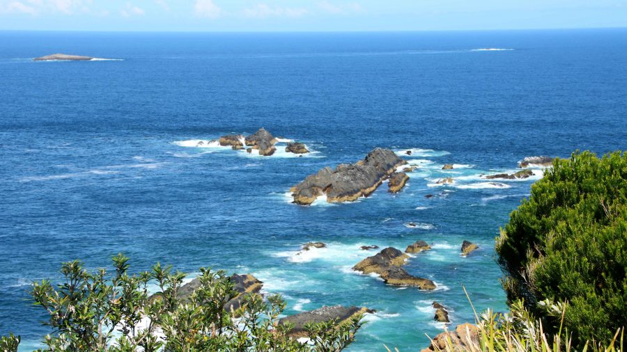
The rocks on which the sighting of Seals generated the name of the area.

Seal Rocks has some significance to me as it was a place that my father always wanted to go to fish. But around thirty years ago it was the first landfall sighted on the second morning of our voyage when I sailed a yacht bought in Sydney up the coast to Brisbane. I climbed to the lighthouse on my recent visit to look down onto the rocks from which it gets its name. They are low and flat and not all that conspicuous from the water, hence the lighthouse that is still in operation. The rocks do however appear much more significant from the deck of a small yacht, particularly one that you own and must navigate safely past the rocks.

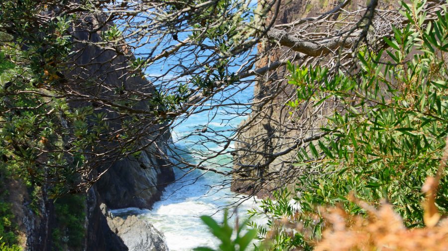
Surging waves at the base of the headland of Sugarloaf Point.
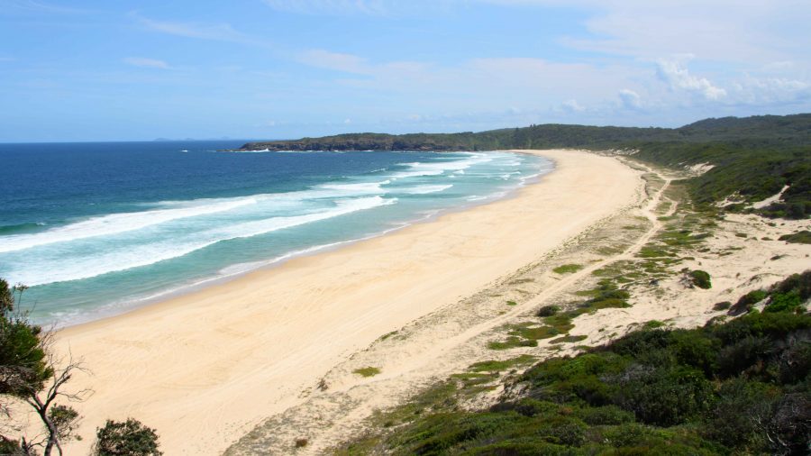
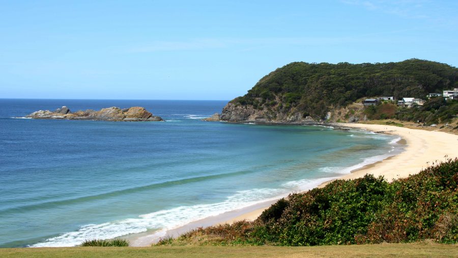
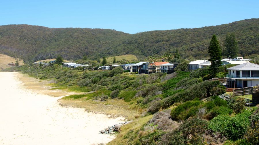
Lighthouse Beach at Seal Rocks, NSW.
Seal Rocks lighthouse is an active lighthouse but long since converted to automatic operation.

Like much of that coast, it is a very attractive with a surprising number of good quality houses and a caravan park. Its popularity is drawn from its kindness to the fishermen who visit it and the pleasant beaches that keep families happy and compensate for the attention of the fisherman (hunter gatherer?) being directed elsewhere.
An original lighthouse keeper residence and the local lifesaving club building at Sugarloaf Point.
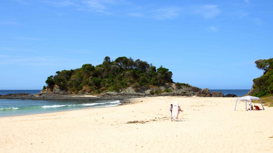
Boat Beach, Seal Rock. The lighthouse is over the hill to the right.
Number One Beach at Seal Rocks, NSW.
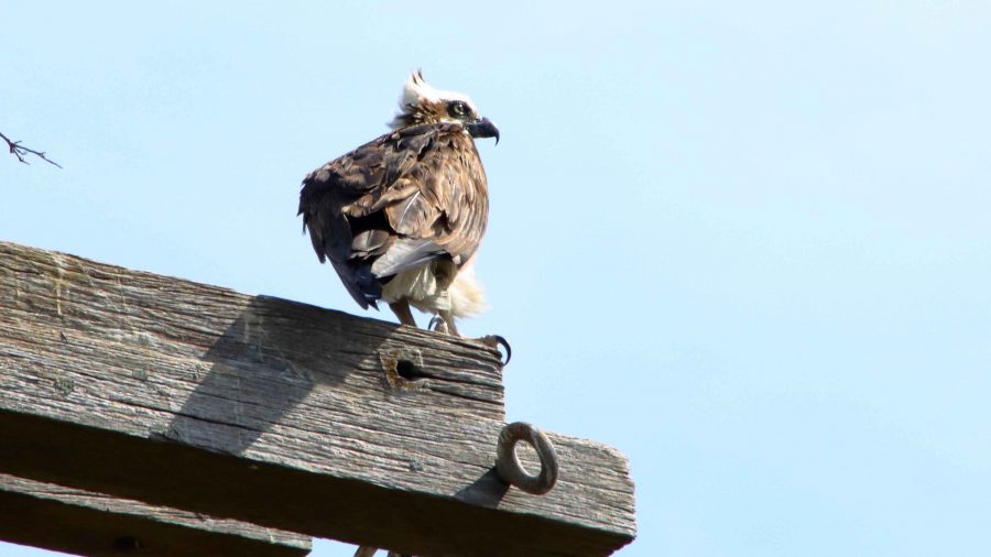
A juvenile Osprey waiting for food at its National Parks provided nesting platform north of Tiona on The Lakes Way, NSW.

After Seal Rocks we returned to The Lakes Way and continued towards Forster, pausing at a Osprey nesting platform to photograph a juvenile bird that was perched, probably waiting to be fed. After a quick lunch for ourselves in Forster, we continued on our way to Harrington to occupy our cabin.

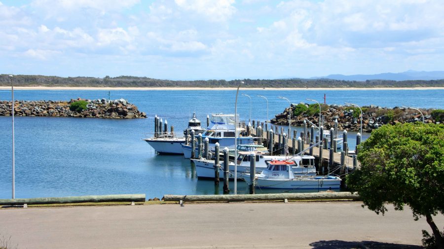
Crowdy Head Harbour at the mouth of the Manning River, NSW.

We had booked Harrington for two nights but were offered a third night at half rate, which we accepted. But when we checked in their booking system was down. “We will fix the problem tomorrow”, they said. But when tomorrow came and the system was back online, they discovered that the cabin had been booked by someone else for that night. They didn’t offer an alternative and we didn’t ask. Instead, we booked one night at a motel in Taree.

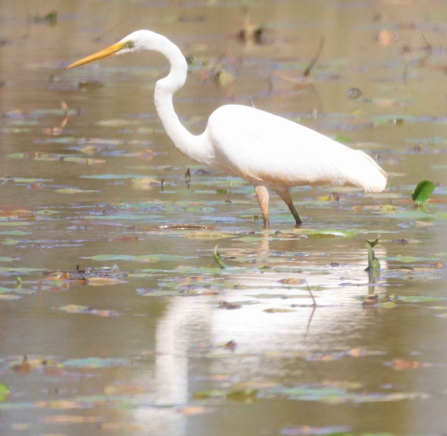
Great Eastern Egret at Cattai Wetlands, Coopernook, NSW.
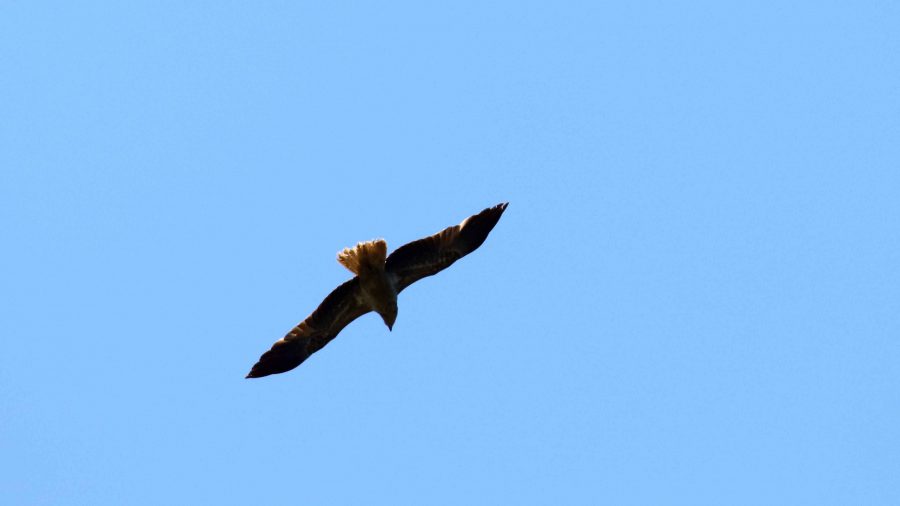
A gliding Brahminy Kite at Cattai Wetlands.
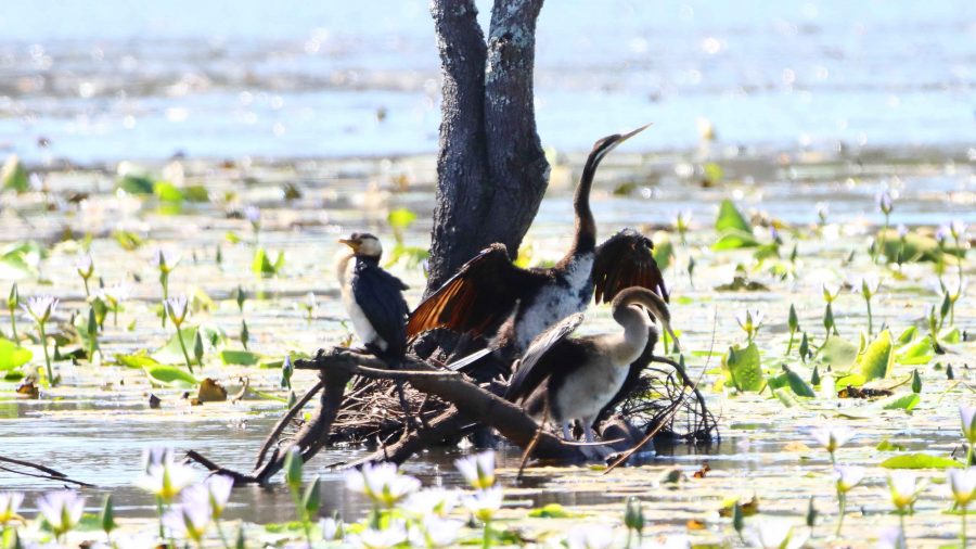
Australian Darter and Little Pied Cormorant. They wouldn’t need to travel far for food.

On our first day in Harrington, we spent the morning catching up on washing followed by a sea food lunch at neighbouring Crowdy Head. A sea food meal as we watched the sea, with Whales frolicking in Crowdy Bay wa just the ticket. We weren’t complaining at all.

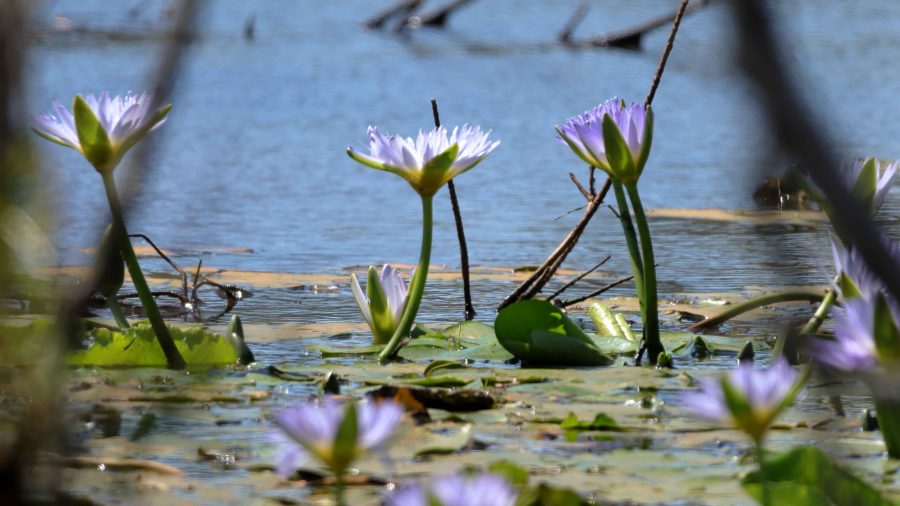
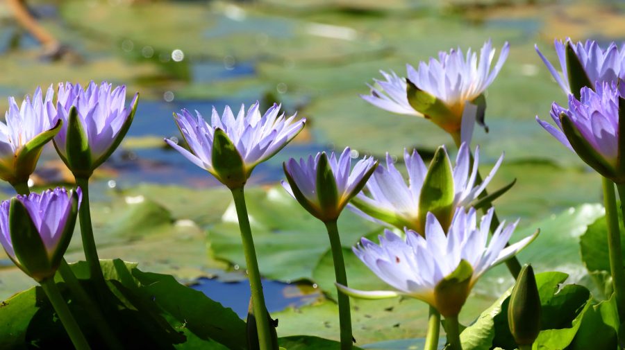
There were multiple hectares of waterlilies at Cattai Wetlands.
More waterlillies

After lunch we drove back past Harrington to the Pacific Highway at Coopernook so that I could take a walk around the 2.5-kilometre track at Cattai Wetlands. The position of the sun was a problem, morning would have been better, but I saw and photographed a few birds and viewed wide areas of water lilies. I am a bit of a fan of water lilies. The walk was most enjoyable but was terminated at increased speed when I realised, about three quarters of the way around, that I was running out of time. The area closed at 3.00 pm, just 20 minutes away.

The famous Gantry. So well known that an eating place in town is named after it, The Gantry.

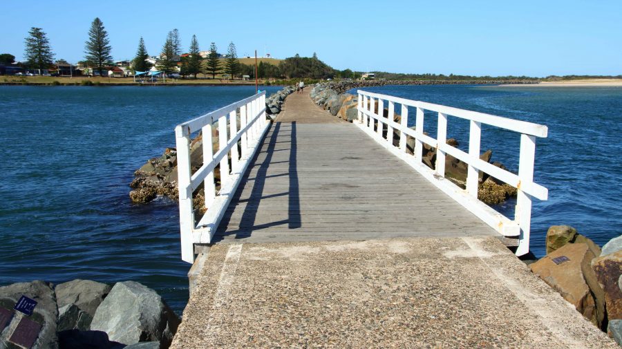
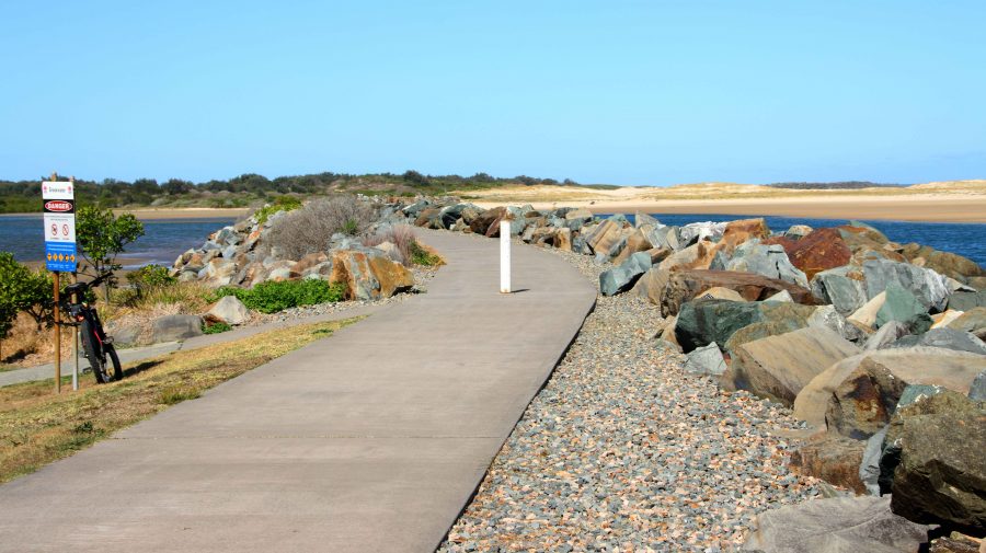
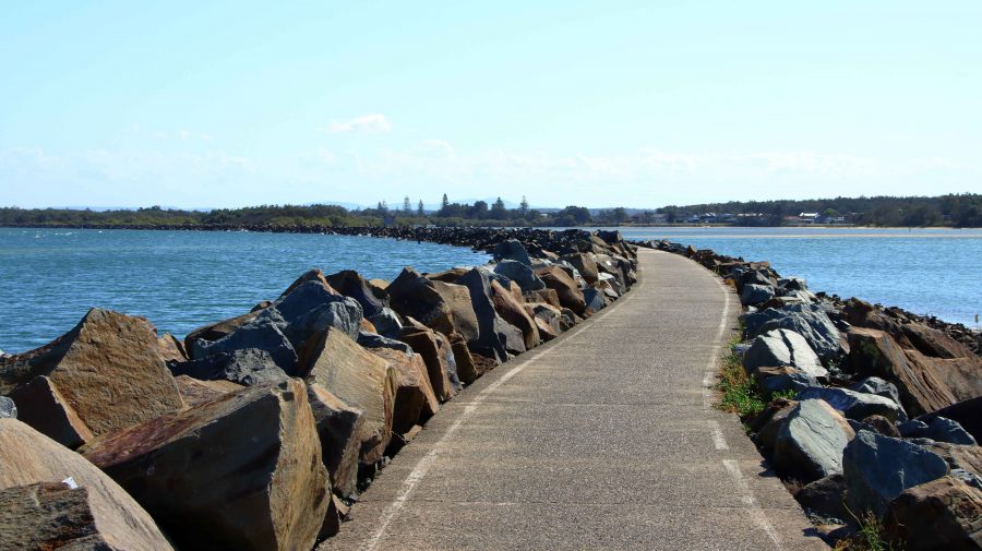
Finally, before we returned to our cabin, I did a walk along the rock training wall at Harrington. This wall was a favourite fishing site for my father from the days of his youth and a site to which he took us on holidays a number of times. It was also a favourite with my late brother Ivan. Despite the pleasantness of the afternoon there was not a fishing person in sight. I walked about 75% of its length, pausing to read many of the memorial tributes to departed fishermen that have been fixed to the rocks along the wall.

The stone wall has a bridged gap, known as The Gantry. I recall it being one of Dad’s favourites fishing spots. The wall is built out to an island that is near to the river bank which together with the wall forms an anabranch of the river. The Gantry allows for the ebb and flow of the tides into the lagoon, formed by the wall.
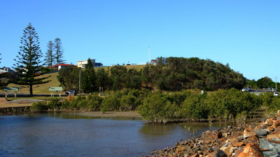
The Eastern end of the Harrington training wall.
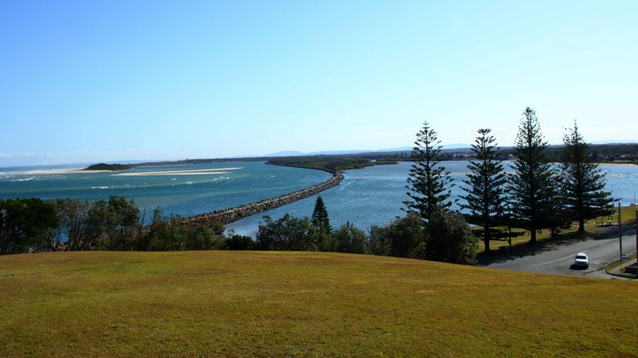
The main training wall at Harrington with the river to the left and the lagoon and anabranch of the river to the right.
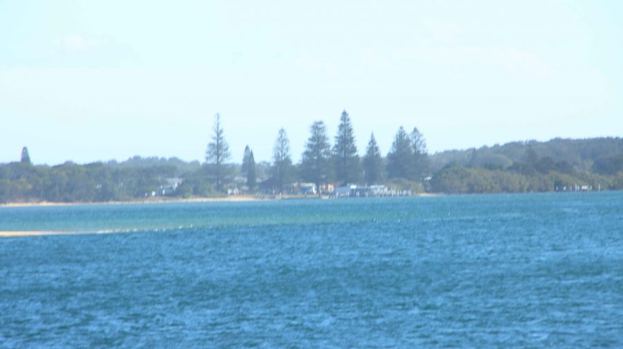
Manning Point on the southern bank of the Manning, through afternoon salt haze.
Pilot Hill at Harrington. Ships were guided over the bar from this vantage point in the early days of settlement.
The Training Wall and Manning Point from Pilot Hill. You can see the size of the lagoon. Tidal waters flow to and from it through The Gantry.
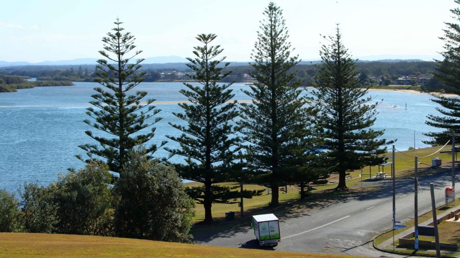
Norfolk Pines in Harrington’s main street with the lagoon behind.
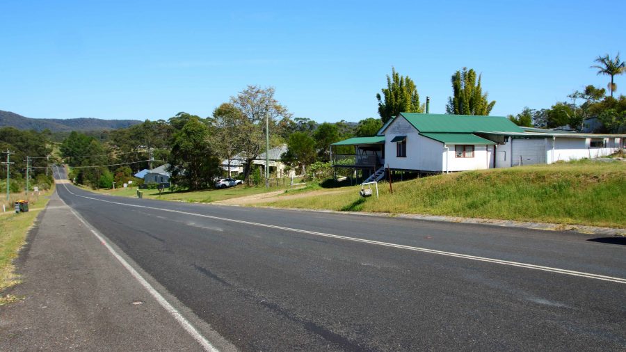
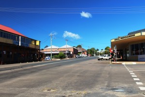
The main street of Wootton and The Wotton Way.

Thursday was exploring day. We turned south and turned into Wootton Way which, when we lived on it was called plain old Wootton Road. It was part of a string of roads that lead from near Newcastle to Taree. In their early married life my parents tried to eek a living out of a soldiers settlement block on Newmans Road, that joined Wootton Road at Wotton. The road is still mainly gravel with some patches of sealed road where the road crosses streams. I lived there as a baby and again about 75 years ago, so was not surprised that much did not look familiar. I suspect that the old house is long gone. I think I identified the location, but it was hard to be sure.

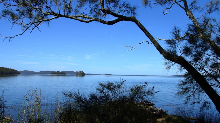
Myall Lake at Mayres Point on The Lakes Way.

From Wootton we accessed The Lakes Way via Wattley Hill Road, a road that has been there since first settlement in the area, but one over which I had never travelled. We drove in to Myall Lake to check out the sight of Sunday School picnics of three quarters of a century ago. It is now all overgrown.
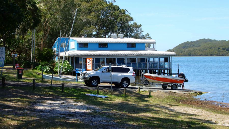
The Boat House at Smiths Lake, south of Forster, NSW. The building contains a cafe and boating facilities.
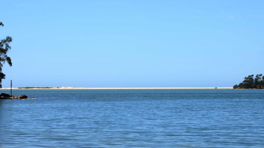
The sand bar that separates Smith Lake from the Pacific Ocean. The town of Sandbar is to the left, right on the coast.
Blueys Beach is just off The Lakes Way near Pacific Palms. It was favourite beach for locals in my youth and had only beach shacks.

We called in to several beaches that we frequented in younger days including Smith Lake, Pacific Palms, Blueys beach and Elizabeth Beach. We again stopped at Forster for lunch.

On our way from Forster to Taree we diverged so that we could look at Harrington across the river. The diversion lead us over some of the islands that make up the Manning River Estuary. Harrington is clearly visible from there. Manning Point has some tourist facilities but is much smaller than Harrington.

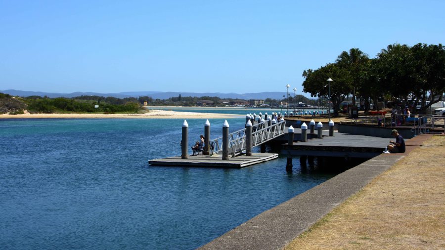
Jetty near the shopping centre at Forster, NSW.
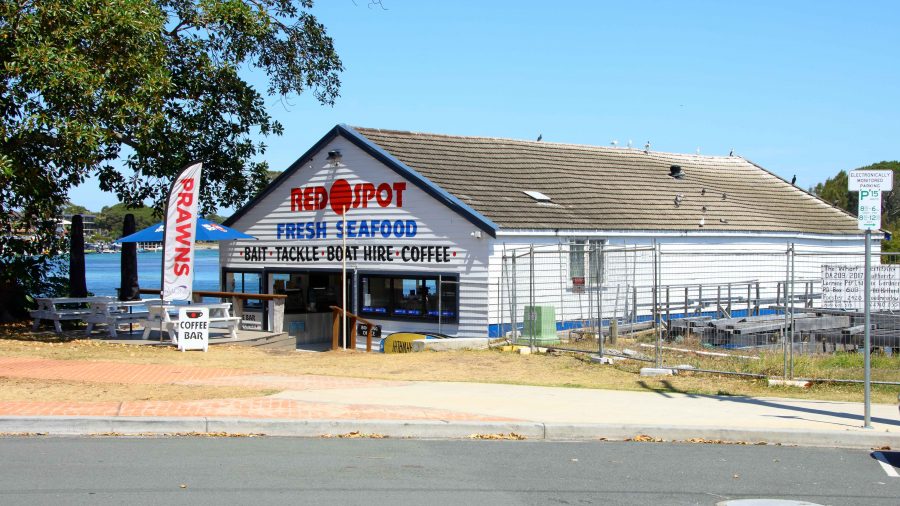
The old Forster fishing cooperative now sells fishing supplies, has a cafe which of course sells coffee.
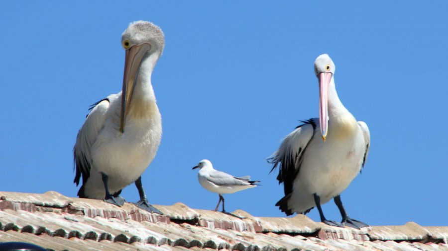
Pelicans roosting on the boat shed roof at Forster, NSW.
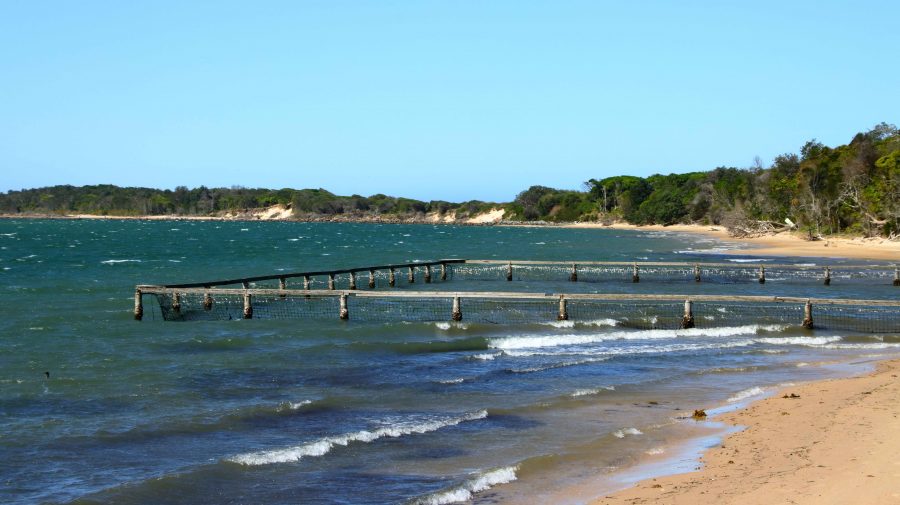
The shark proof swimming enclosure at Manning Point.
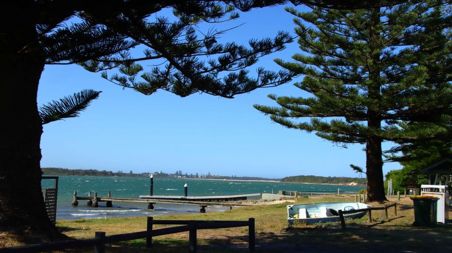
Harrington through the Pine trees at Manning Point.
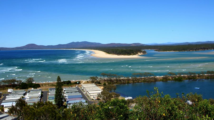
The mouth of the Nambucca River at Nambucca Heads, NSW.

We spent our night in Taree, setting out next day, our last day but one, on the four hundred plus kilometres to Ballina. We made two diversions. The first into Nambucca Heads trying to find a coffee shop. We ended up at the service centre back on the highway. The town was parked out, but we did get to a couple of lookouts and one beach. Nambucca Heads is worth a longer visit.

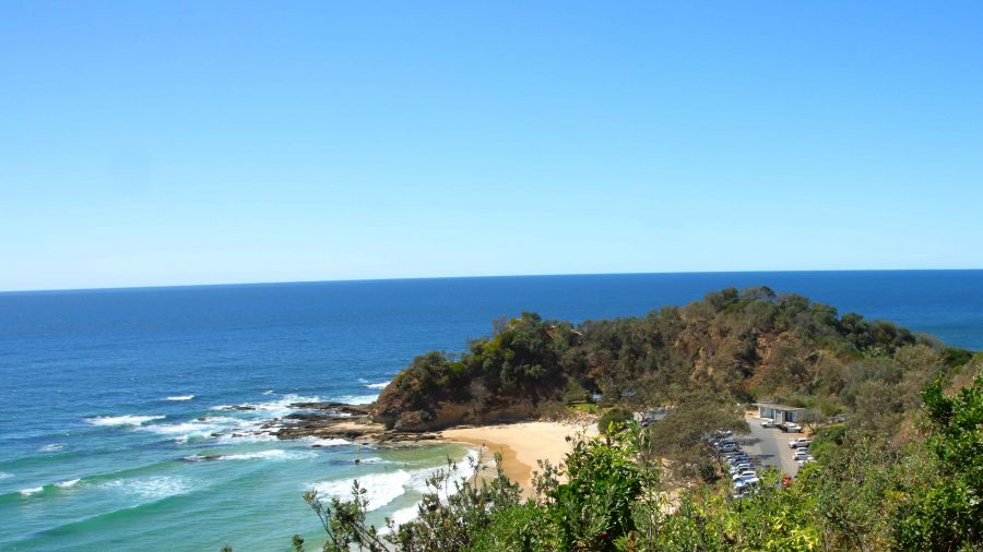
Shelly Beach at Nambucca Heads, NSW.
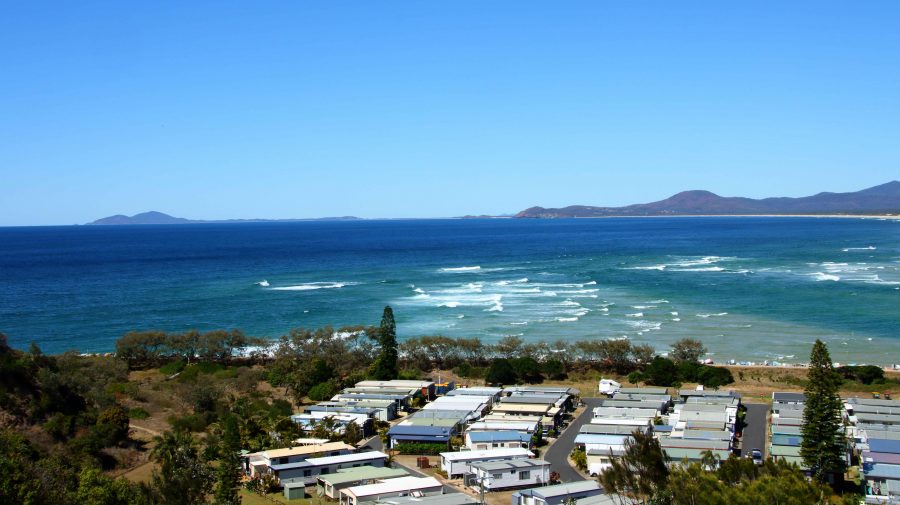
The coast south of Nambucca to Scotts Head and Smokey Cape (South West Rocks) in the far distance.
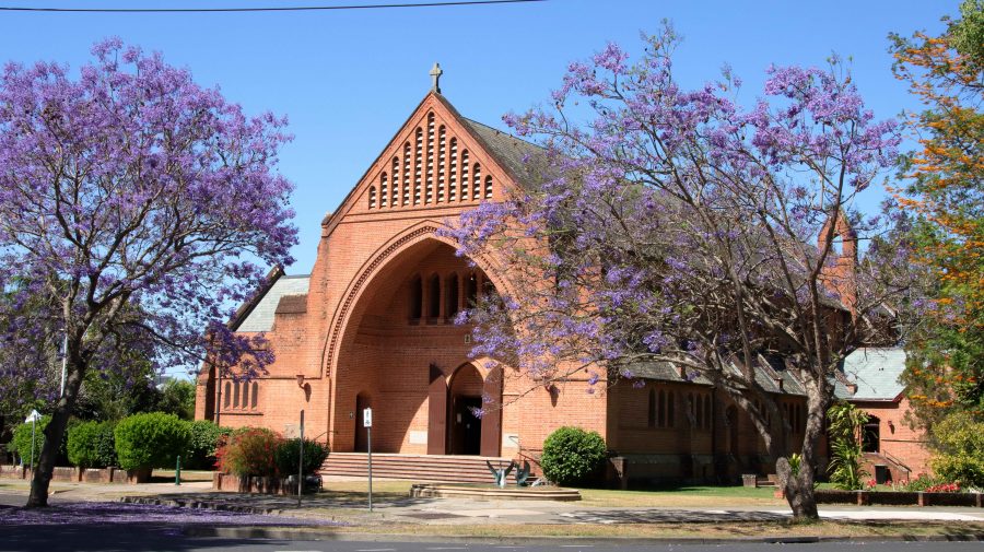
The Anglican Cathedral at Grafton, NSW.

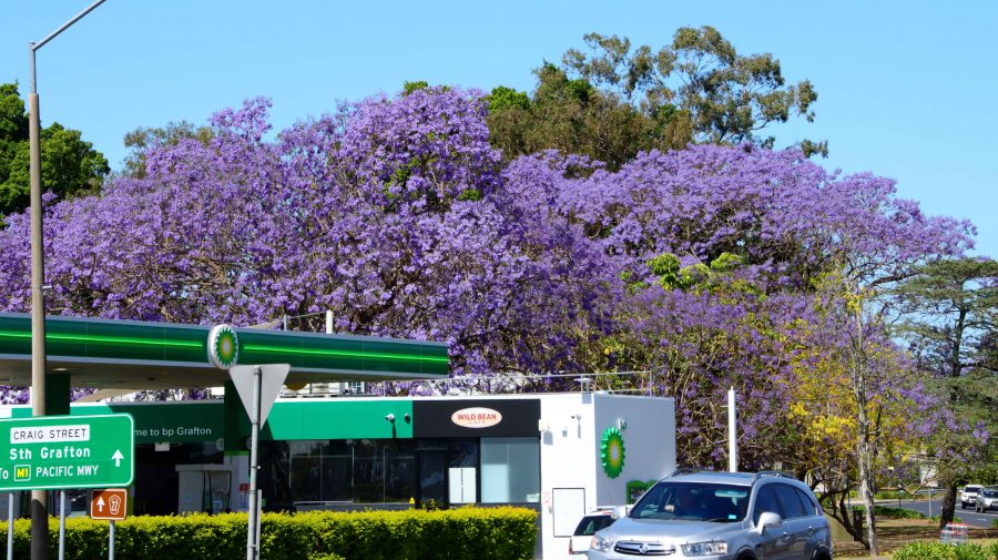
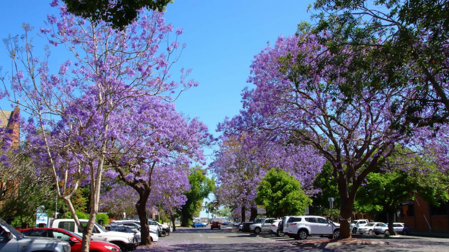
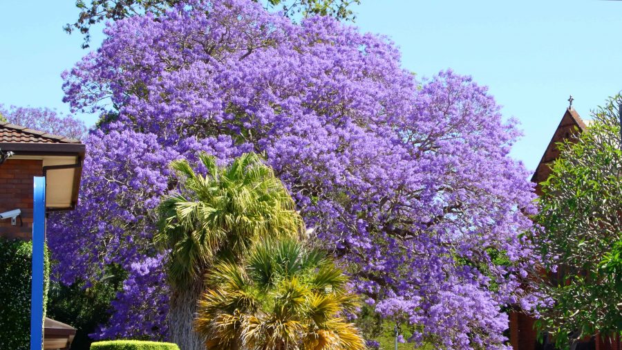
Finally, we drove through Grafton to find lunch and photograph Jacarandas. There seems to be less of the distinctive purple trees than I remember from previous visits. Lunch done, we departed the town over the new bridge over the Clarence River and re-joined the highway at Tyndale, to continue the drive to Ballina.

Jacaranda trees at Grafton NSW

After another brief and pleasant visit with Joe and Thelma we proceeded home, arriving mid afternoon. So ends another drive along that most familiar coast.

Sydney 2014 – Day 2 – 18th January – Grafton to Ebor via Dorrigo

Just to clarify. We did not share the facilities in Grafton with greyhound races. They had been on the night before. Instead we had a quiet night with little traffic and one train in the distance. We slept through anything else that happened.

The road from Grafton to Dorrigo runs through Coutts Crossing and then follows the Nymboida River into the mountains. The Nymboida canoe centre is on this road. On this river very game (or silly) people do heroic things in canoes and kayaks in white water.

Nymboida Canoe Centre

Nymboida Canoe Centre

No activity there today. There is probably not enough water coming down due to dry conditions. There are extensive facilities for visitors including camping areas, cabins and caravan sites. Just past the canoe centre and on the banks of the Nymboida River stands the quite new looking Nymboida Hotel, which appears to offer all the normal facilities for travellers and those who want to linger a bit longer.

Armidale Road

Armidale Road and power lines – both going up! Roads never look as steep in photographs.

Then the climb up the mountain starts. The road is narrow and winding. It mostly runs through thick bushland with the occasional cleared rural areas. While not an ideal road to tow a caravan it is quite safe if taken slowly. This is the Armidale Road which joins the Waterfall Way about 10 km north east of Ebor. We left this road at Tyringham and took a short cut through North Dorrigo to Dorrigo itself. Again some steep climbs but by this time we were driving through cleared farming country with rolling green hills almost a far as we could see.

Canopy Caffe Alfresco Area

Outdoor dining area – the Canopy Café, Dorrigo National Park

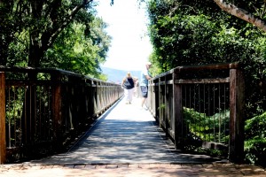
Sky Walk2 Sky WalkThe National Park is the key attraction at Dorrigo but as it was lunch time when we arrived we decided to try The Canopy Cafe. An excellent meal! Ruth’s club sandwich was big enough to feed more than one club member and my chicken, mushroom and sundried tomato pasta was to die for. And the chips? Made from Dorrigo potatoes, of course.

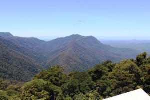
The main attraction at Dorrigo National Park is the Sky Walk, a sort of cat walk that extends out above the rain forest on the escarpment and provides stunning views over the forest, mountain ranges and down the Ballenger River valley to the Pacific Ocean.

Forest, Mountains & Sea

View from Sky Walk

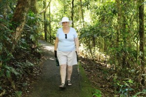
Knee Test in Progress

Knee test in progress

To give Ruth’s knee the promised workout we did an 800 meter rain forest walk with some downhill and up hull sections. The knee passed with flying colours.

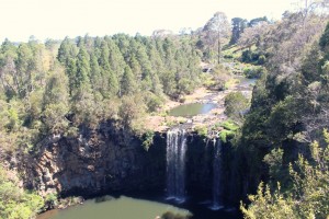
Danger Falls

Danger Falls is a popular swimming spot

This is the Waterfall Way after all, so for our first waterfall we took a short drive north of Dorrigo to Dangar Falls. We had been there before but this time there was much more water in the river so it was worth the effort.

Dorrigo Main Street

Main street in Dorrigo


Another unique feature of Dorrigo is that it is the largest railway graveyard in Australia. There are hectares of rolling stock and engines standing on the lines around the rail depot which was, in its day, was the end of the line. The track is so winding that the section to Dorrigo was recognised as the slowest section in all of NSW Rail. I think there were great plans for the collection of railway equipment but there was not much sign of action as we drove past.
 

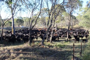
From Dorrigo we then proceeded along the Waterfall Way to Ebor. This piece of road has no flat sections. You are either ascending or descending and the grades are quite steep. But it is only about 47 kilometres so we were soon at the Ebor free camping area. We have only two caravan neighbours but for a while we had about 450 neighbours of the four legged variety. A local farmer was moving his herd between paddocks and was temporally holding them near the gate to the free camp.

Ebor Street

The leafy main street of Ebor


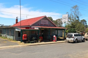
Fussypots at Ebor

Fussypots café at Ebor


Four Legged Neighbours

Four legged neighbours


Talk about noise! But he drove them via a stream for a drink and then moved them on to a paddock further away. We are fairly quick on the uptake, so two of our neighbours joined us for drink. Can’t let the cattle have all the fun!

So we three caravans have been joined by the farmer’s horse for the night, while he has driven home in his 70 series Toyota utility with his three cattle dogs on the tray. We really are in the rural scene.

Sydney 2014 – Day 1 – 17th January – Home to Grafton

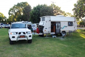
We are on the road again, but just for a month. It was a very familiar drive today, down the Gold Coast and Pacific Highways to Grafton, where the overnight stop is at a small caravan park at the Greyhound Racing Club. The “dish lickers” were performing last night, so all is quiet.
Just two stops along the way. Lunch by the Tweed River at Chindra and coffee at Ferry Park near Maclean. Somehow, with the time difference between Queensland and NSW at this time of the year, there is no time for morning tea. We no sooner leave home than it is lunch time.
On the green, green grass of Grafton

Chindra always has interest for us. Over 100 years ago my maternal grandfather operated the pedestrian ferry over the river. The family lived nearby and Mum’s playground was the river bank. She talked of playing with the soldier crabs on a small sandy beach. She had no siblings, so the crabs were probably her main play mates.  I think she enjoyed their stay at Chindra.

The plan for this trip is to stay as much as possible in the higher country to avoid crowded coastal caravan parks and for cooler nights. After a few days at Katoomba (where Ruth and I honeymooned over half a century ago) we will move on to Sydney where we will stay for a week. Daughter Karen is coming home from India for six weeks. She flies into Sydney on Friday 30th January. Younger daughter Briony has a birthday on 3rd February (now resident in Sydney) so we will celebrate her birthday and spend time together. A few days after we travel home, via the coast, Karen goes to Tasmania for a few days but then joins us for a month in Brisbane a couple of days after we get home. We will celebrate what Karen calls “the birthday season” while she is with us. She and Craig have birthdays only a few days apart near the end of February.

Ruth is travelling with a brand new knee. The entire process of the replacement has gone very well and eight weeks on from the big day she has almost full use of that vital joint and not much discomfort. On day 2 of our trip we will give it a bit of a work out as we travel along the Waterfall Way to Armidale.

Until then stay well.