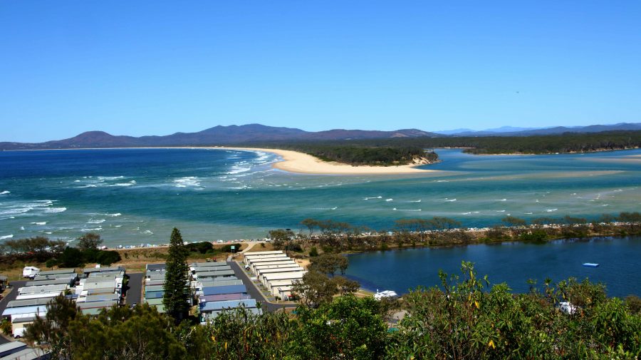
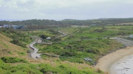
Our destination that day, Tuesday, was Harrington at the mouth of the Manning River, near Taree, the town where I was born almost eighty-four years ago. We stopped for coffee at Raymond Terrace, then kept to the highway that now bypasses Bulahdelah, the town of my youth. We were headed for Seal Rocks, on the coast near the eastern end of the Myall Lakes.
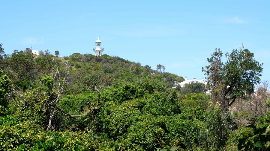
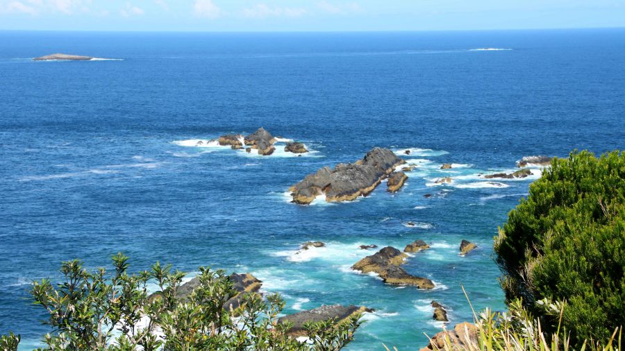
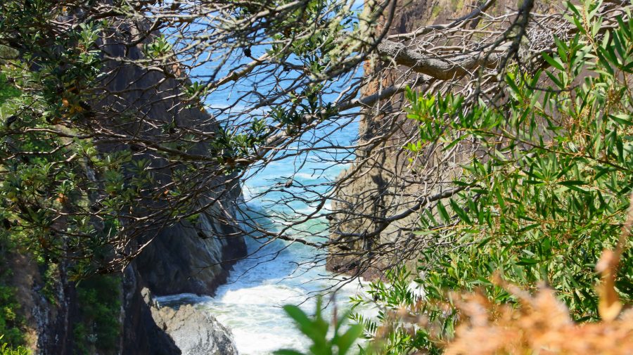
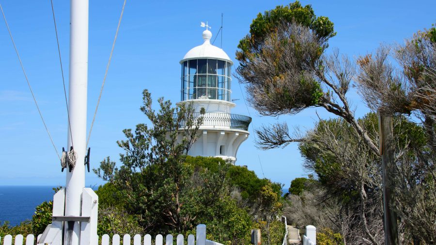
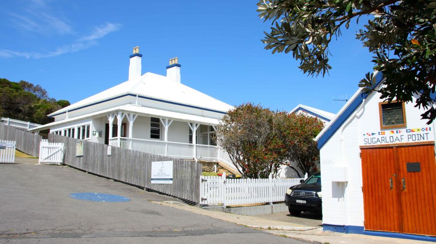
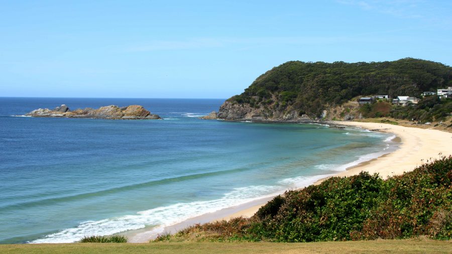
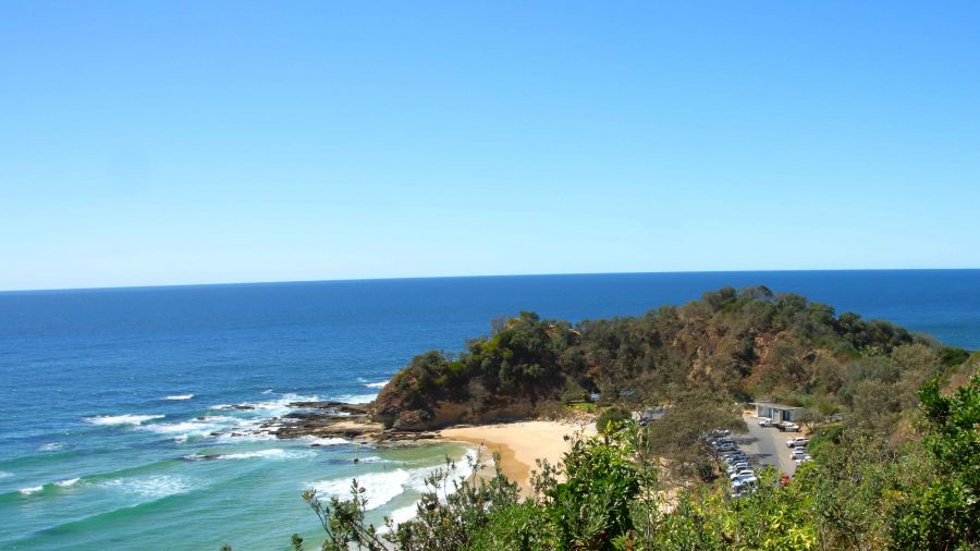
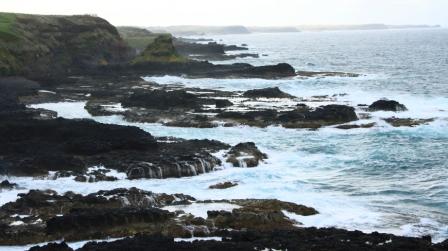
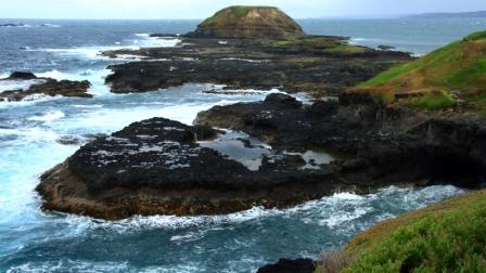
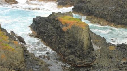
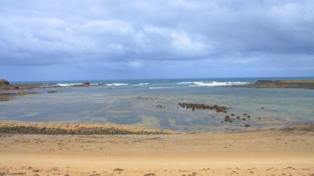
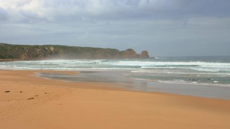
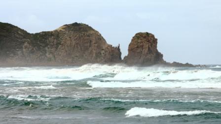
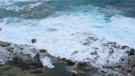
Seal Rocks has some significance to me as it was a place that my father always wanted to go to fish. But around thirty years ago it was the first landfall sighted on the second morning of our voyage when I sailed a yacht bought in Sydney up the coast to Brisbane. I climbed to the lighthouse on my recent visit to look down onto the rocks from which it gets its name. They are low and flat and not all that conspicuous from the water, hence the lighthouse that is still in operation. The rocks do however appear much more significant from the deck of a small yacht, particularly one that you own and must navigate safely past the rocks.
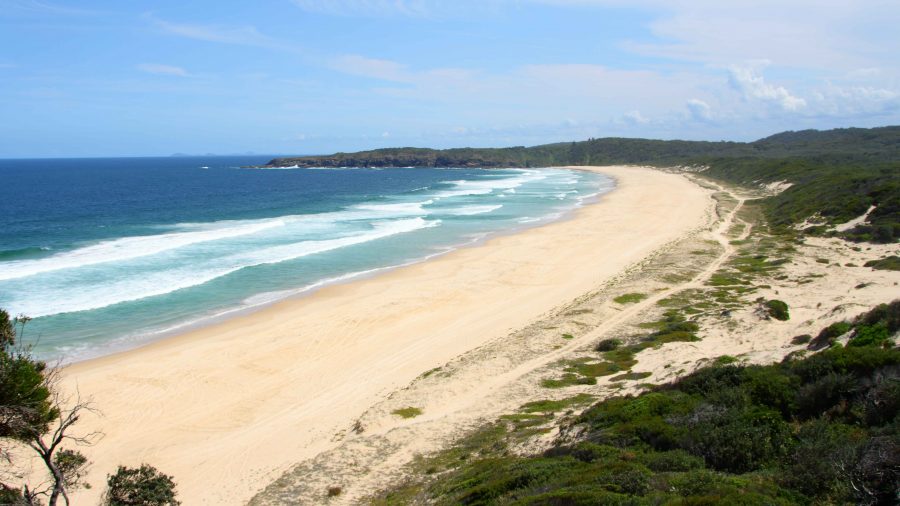
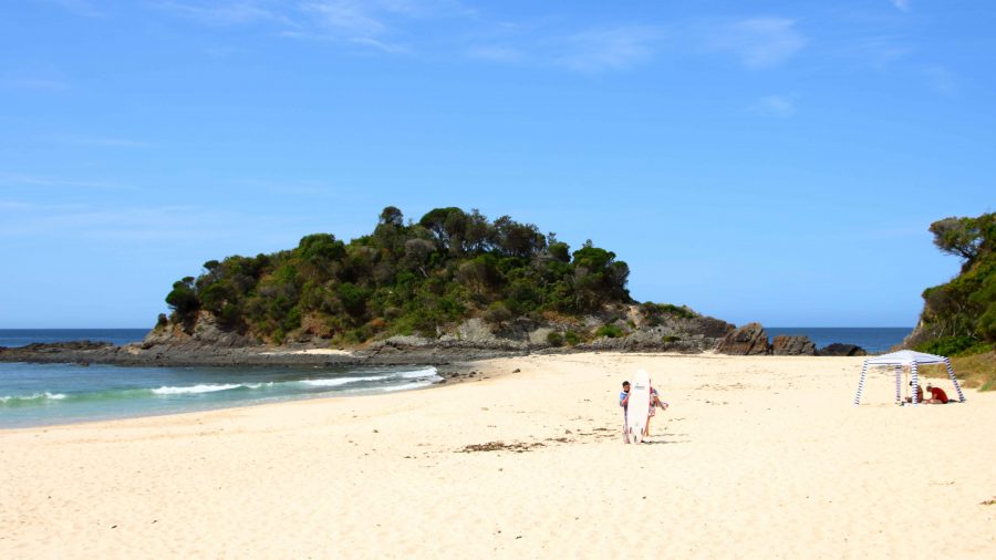
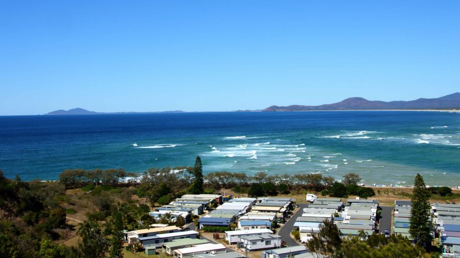
Like much of that coast, it is a very attractive with a surprising number of good quality houses and a caravan park. Its popularity is drawn from its kindness to the fishermen who visit it and the pleasant beaches that keep families happy and compensate for the attention of the fisherman (hunter gatherer?) being directed elsewhere.
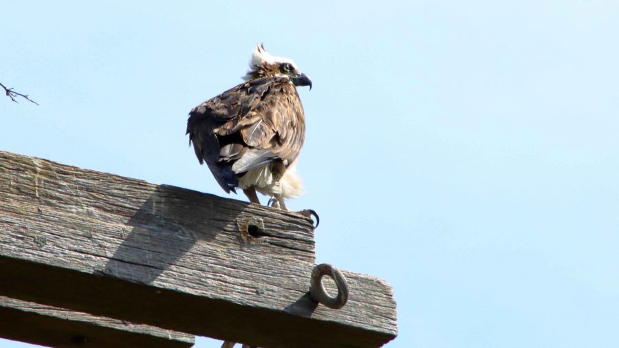
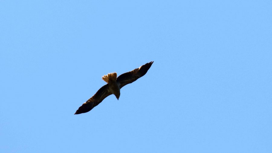
After Seal Rocks we returned to The Lakes Way and continued towards Forster, pausing at a Osprey nesting platform to photograph a juvenile bird that was perched, probably waiting to be fed. After a quick lunch for ourselves in Forster, we continued on our way to Harrington to occupy our cabin.
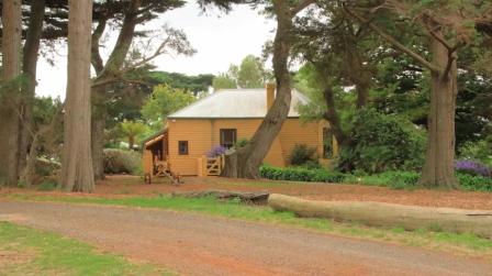
We had booked Harrington for two nights but were offered a third night at half rate, which we accepted. But when we checked in their booking system was down. “We will fix the problem tomorrow”, they said. But when tomorrow came and the system was back online, they discovered that the cabin had been booked by someone else for that night. They didn’t offer an alternative and we didn’t ask. Instead, we booked one night at a motel in Taree.
On our first day in Harrington, we spent the morning catching up on washing followed by a sea food lunch at neighbouring Crowdy Head. A sea food meal as we watched the sea, with Whales frolicking in Crowdy Bay wa just the ticket. We weren’t complaining at all.
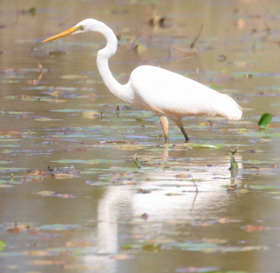
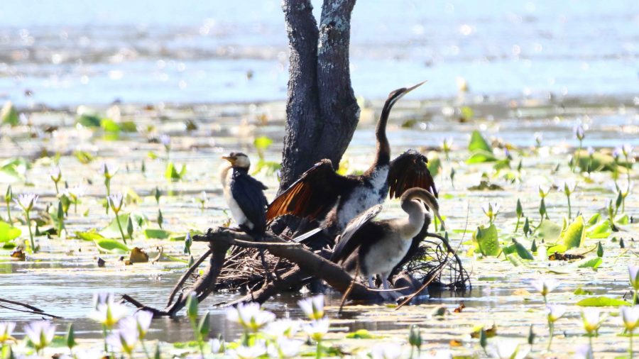
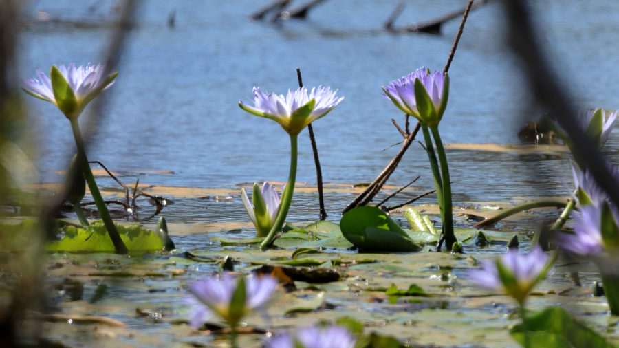
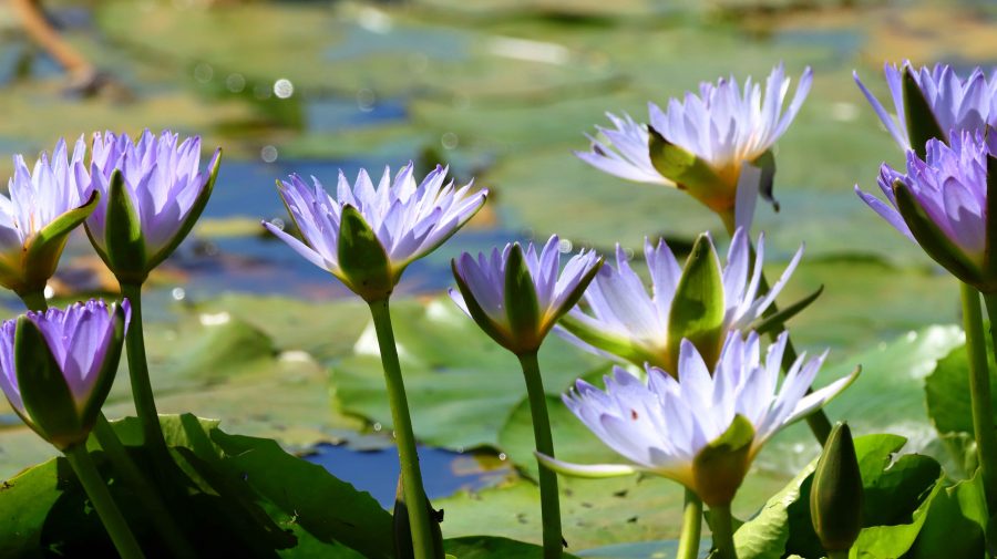
After lunch we drove back past Harrington to the Pacific Highway at Coopernook so that I could take a walk around the 2.5-kilometre track at Cattai Wetlands. The position of the sun was a problem, morning would have been better, but I saw and photographed a few birds and viewed wide areas of water lilies. I am a bit of a fan of water lilies. The walk was most enjoyable but was terminated at increased speed when I realised, about three quarters of the way around, that I was running out of time. The area closed at 3.00 pm, just 20 minutes away.
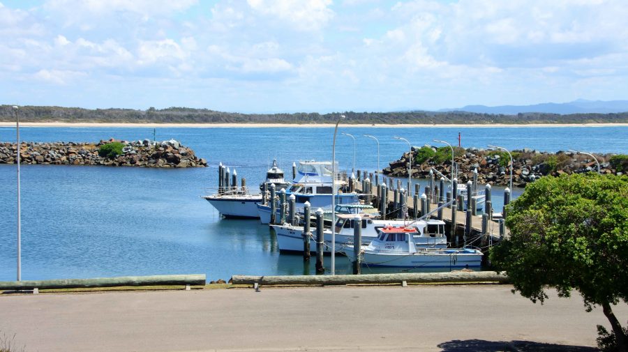
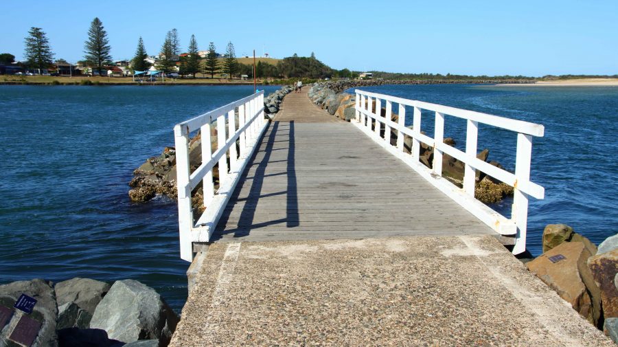
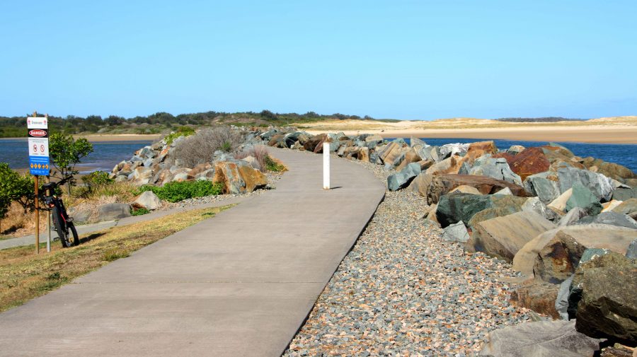
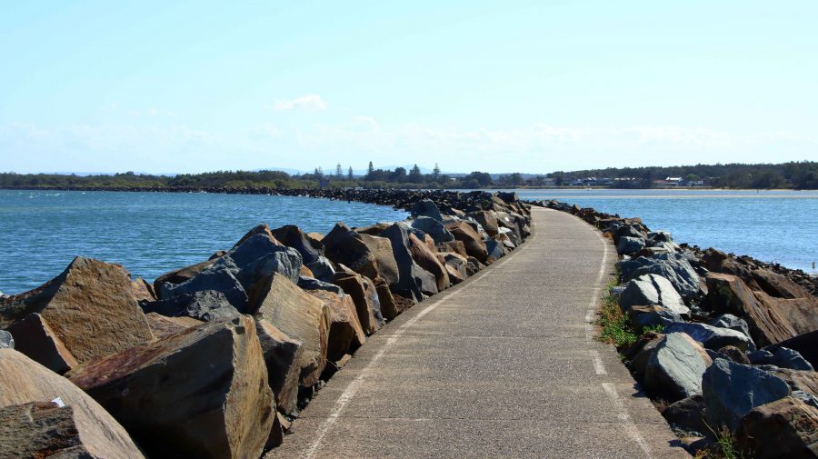
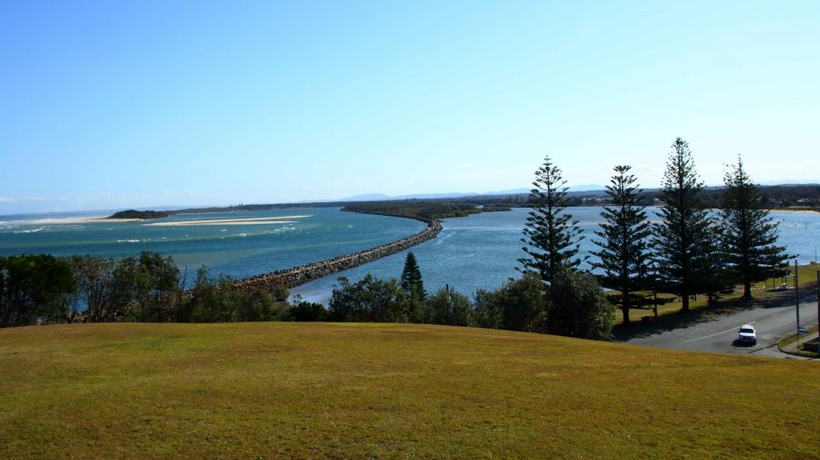
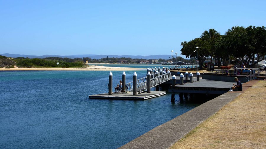
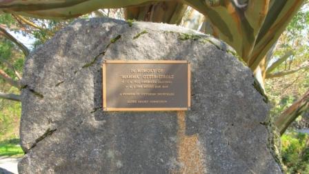
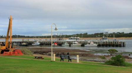
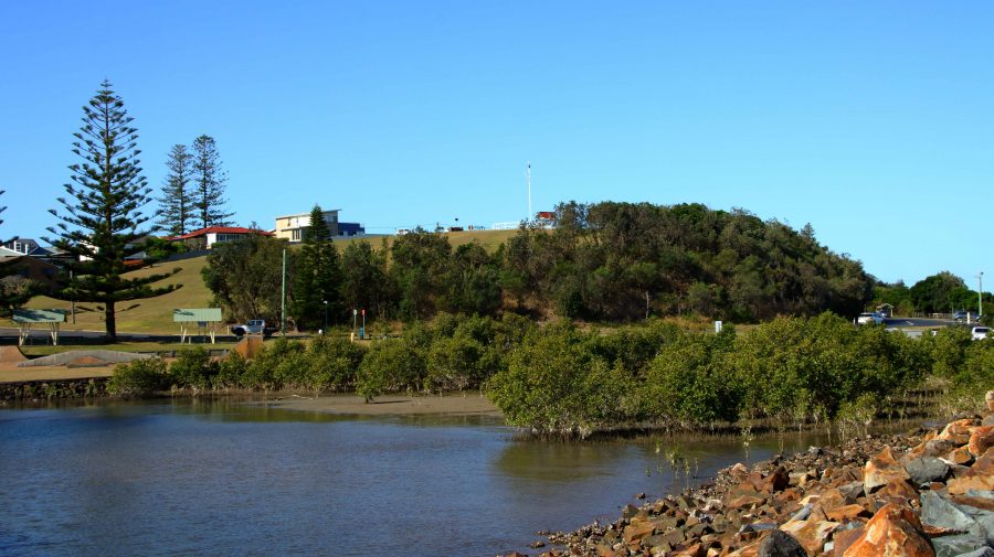
Finally, before we returned to our cabin, I did a walk along the rock training wall at Harrington. This wall was a favourite fishing site for my father from the days of his youth and a site to which he took us on holidays a number of times. It was also a favourite with my late brother Ivan. Despite the pleasantness of the afternoon there was not a fishing person in sight. I walked about 75% of its length, pausing to read many of the memorial tributes to departed fishermen that have been fixed to the rocks along the wall.
The stone wall has a bridged gap, known as The Gantry. I recall it being one of Dad’s favourites fishing spots. The wall is built out to an island that is near to the river bank which together with the wall forms an anabranch of the river. The Gantry allows for the ebb and flow of the tides into the lagoon, formed by the wall.
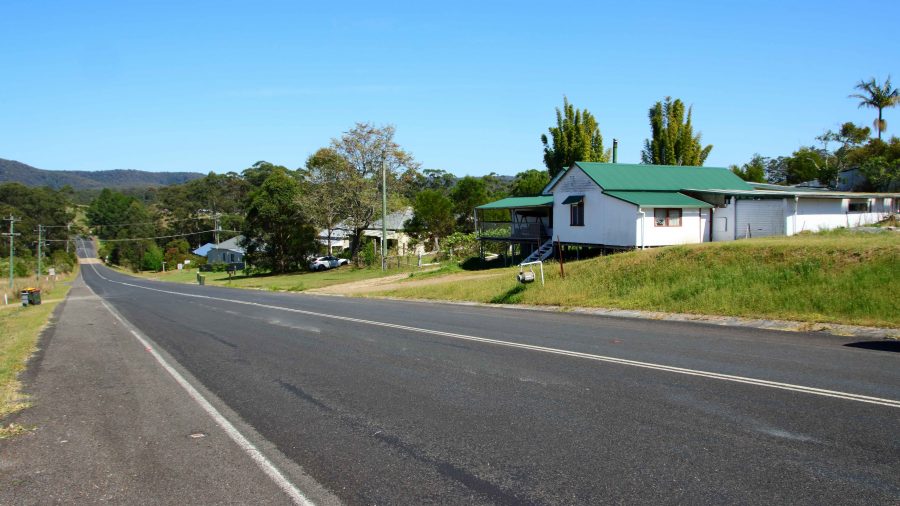
Thursday was exploring day. We turned south and turned into Wootton Way which, when we lived on it was called plain old Wootton Road. It was part of a string of roads that lead from near Newcastle to Taree. In their early married life my parents tried to eek a living out of a soldiers settlement block on Newmans Road, that joined Wootton Road at Wotton. The road is still mainly gravel with some patches of sealed road where the road crosses streams. I lived there as a baby and again about 75 years ago, so was not surprised that much did not look familiar. I suspect that the old house is long gone. I think I identified the location, but it was hard to be sure.
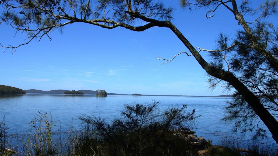
From Wootton we accessed The Lakes Way via Wattley Hill Road, a road that has been there since first settlement in the area, but one over which I had never travelled. We drove in to Myall Lake to check out the sight of Sunday School picnics of three quarters of a century ago. It is now all overgrown.
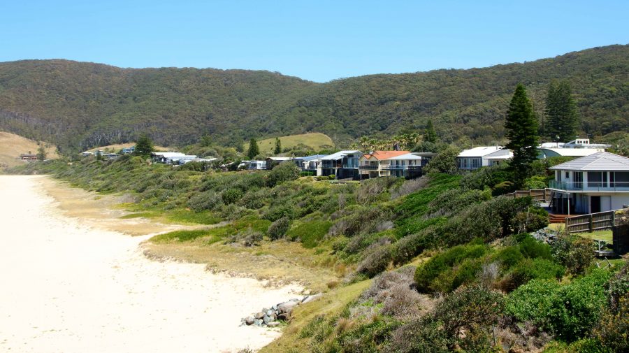
We called in to several beaches that we frequented in younger days including Smith Lake, Pacific Palms, Blueys beach and Elizabeth Beach. We again stopped at Forster for lunch.
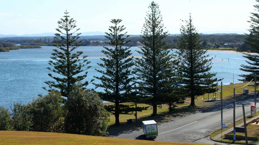
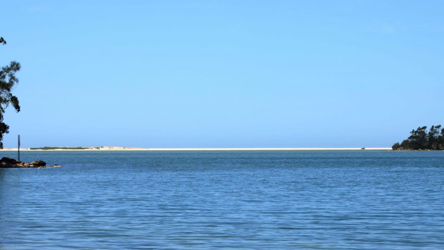
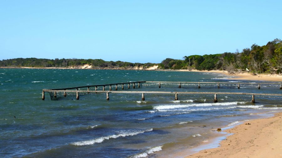
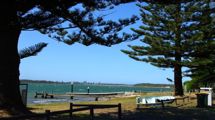
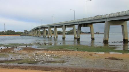
On our way from Forster to Taree we diverged so that we could look at Harrington across the river. The diversion lead us over some of the islands that make up the Manning River Estuary. Harrington is clearly visible from there. Manning Point has some tourist facilities but is much smaller than Harrington.
We spent our night in Taree, setting out next day, our last day but one, on the four hundred plus kilometres to Ballina. We made two diversions. The first into Nambucca Heads trying to find a coffee shop. We ended up at the service centre back on the highway. The town was parked out, but we did get to a couple of lookouts and one beach. Nambucca Heads is worth a longer visit.
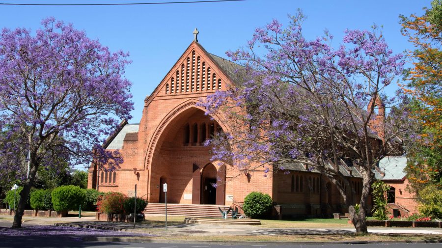
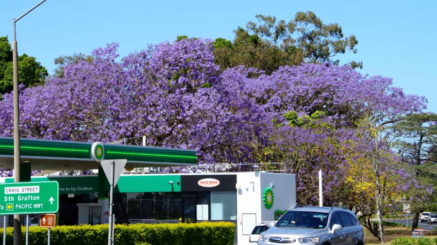
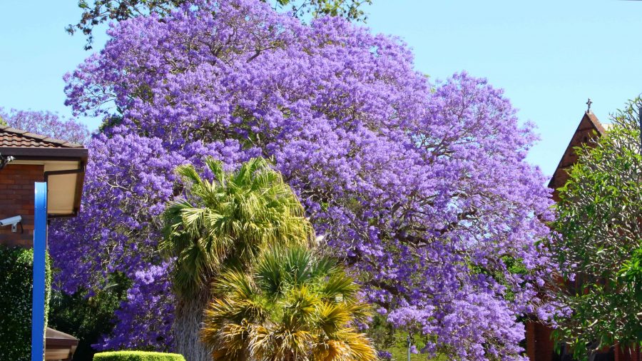
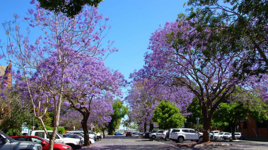
Finally, we drove through Grafton to find lunch and photograph Jacarandas. There seems to be less of the distinctive purple trees than I remember from previous visits. Lunch done, we departed the town over the new bridge over the Clarence River and re-joined the highway at Tyndale, to continue the drive to Ballina.
After another brief and pleasant visit with Joe and Thelma we proceeded home, arriving mid afternoon. So ends another drive along that most familiar coast.

