South in Winter

In our caravanning days, one rule was that we avoided the south east of Australia during the colder months. Anywhere, south of Brisbane was out of bounds.

The Goondiwindi water pressure tower was near to our motel.

So our decision to visit my siblings in Gippsland was taken with much thought, but finally decided on reluctantly. We have been gone from being residents of Melbourne for more than forty years, so we do not like cold weather at all.

But my one and only sister has recently been moved into care and seemed to be making hard work of it, so we decided to make the trip south. For additional incentive our plans included a call on Ruth’s debilitated younger brother at Bowral in the NSW Southern Highlands and to catch up with our younger daughter in Sydney, but only for dinner.

We set off on 1st July via the Warrego Highway  and the Toowoomba Bypass, stopping in  for lunch at Millmerran. Shortly after getting back on the road, we were held up by a tourist having laid their caravan on its side on the shoulder of the road. Problem free from there on. The Gore Highway had been improved since we last used it. Busy too, with trucks and caravans, mostly going towards Toowoomba.

Part of the Goondiwindi CBD
This bridge over the Macintyre River leads to NSW and used to be the main crossing between the two states.
A memorial on the bank of the Macintyre to champion racehorse Gunsynd, known as “THe Goondiwindi Grey”.
Goondiwindi’s main street clock tower.

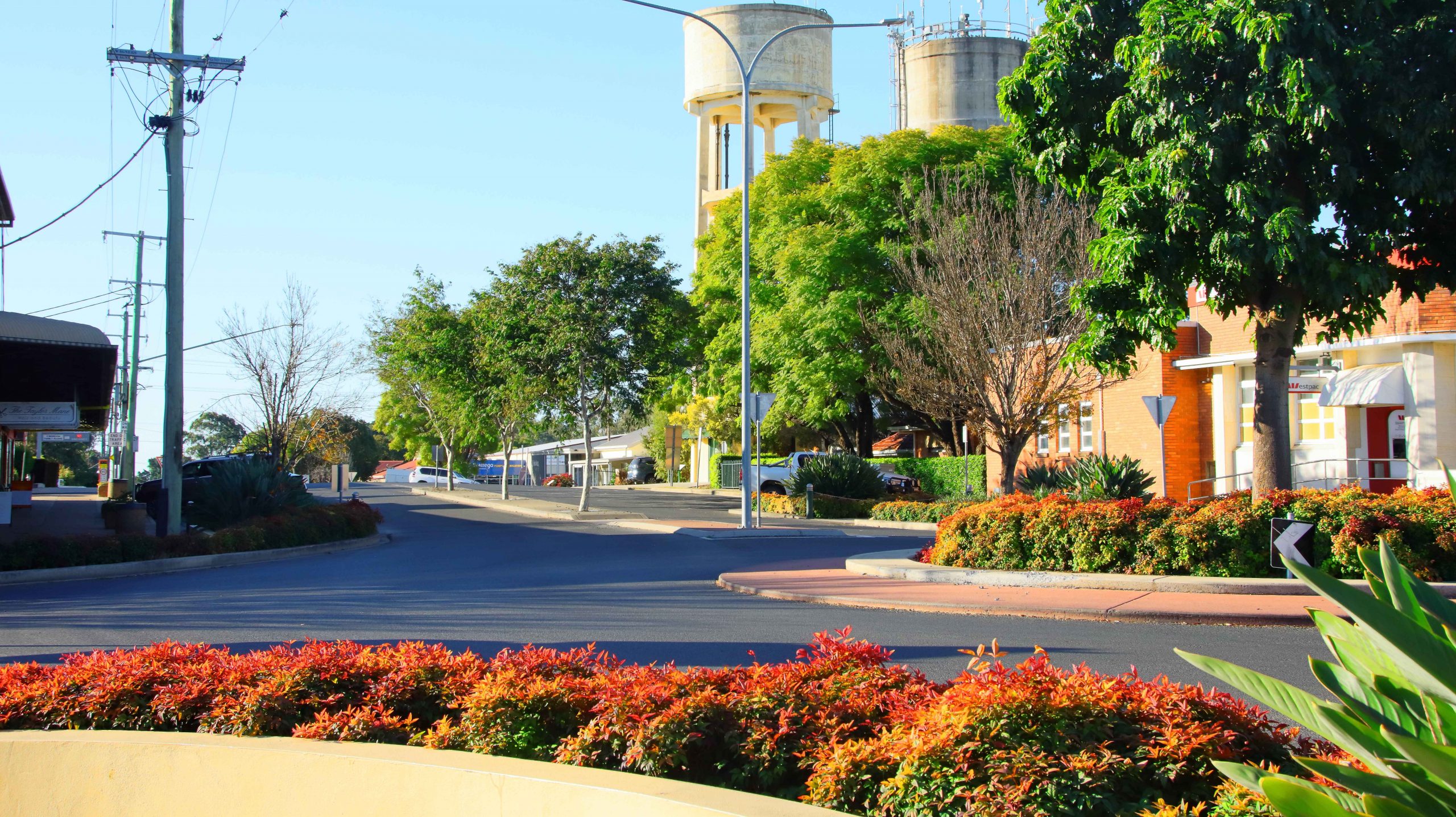
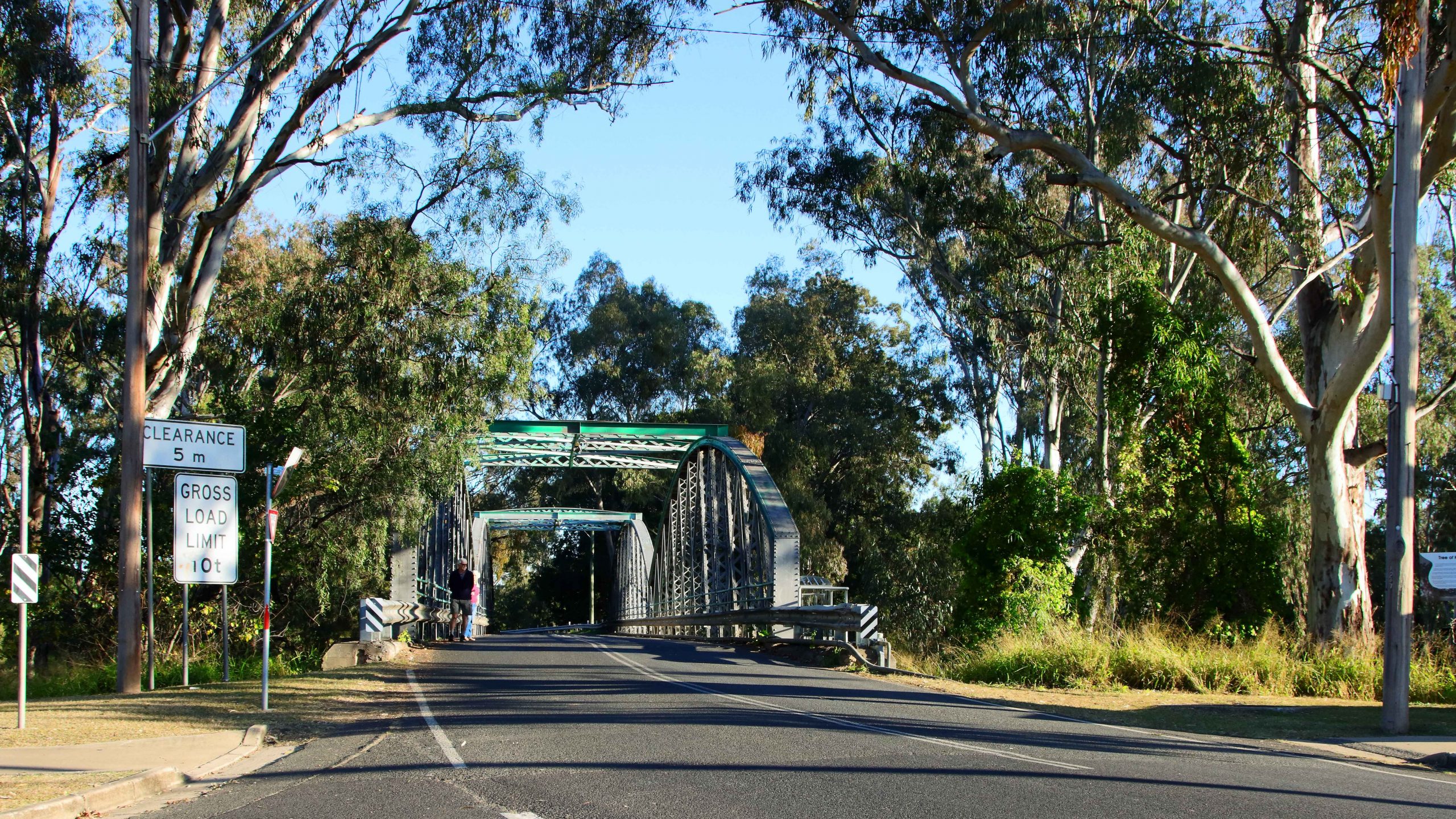
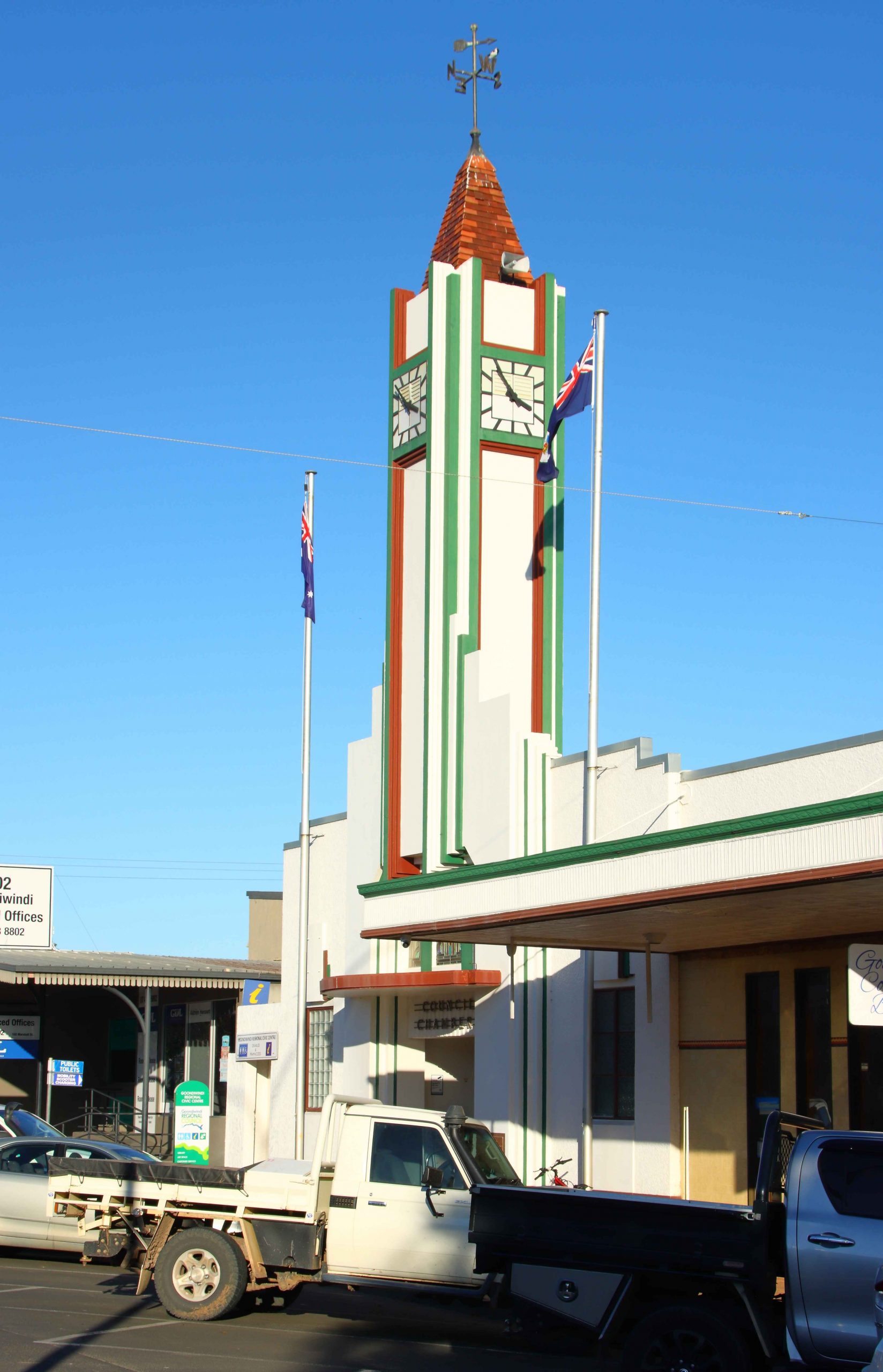
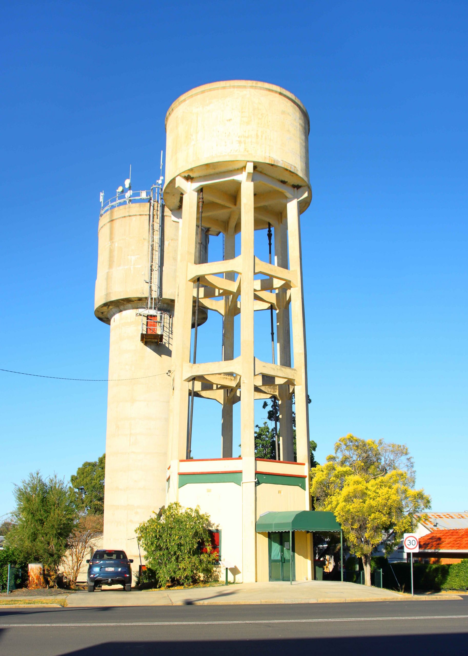
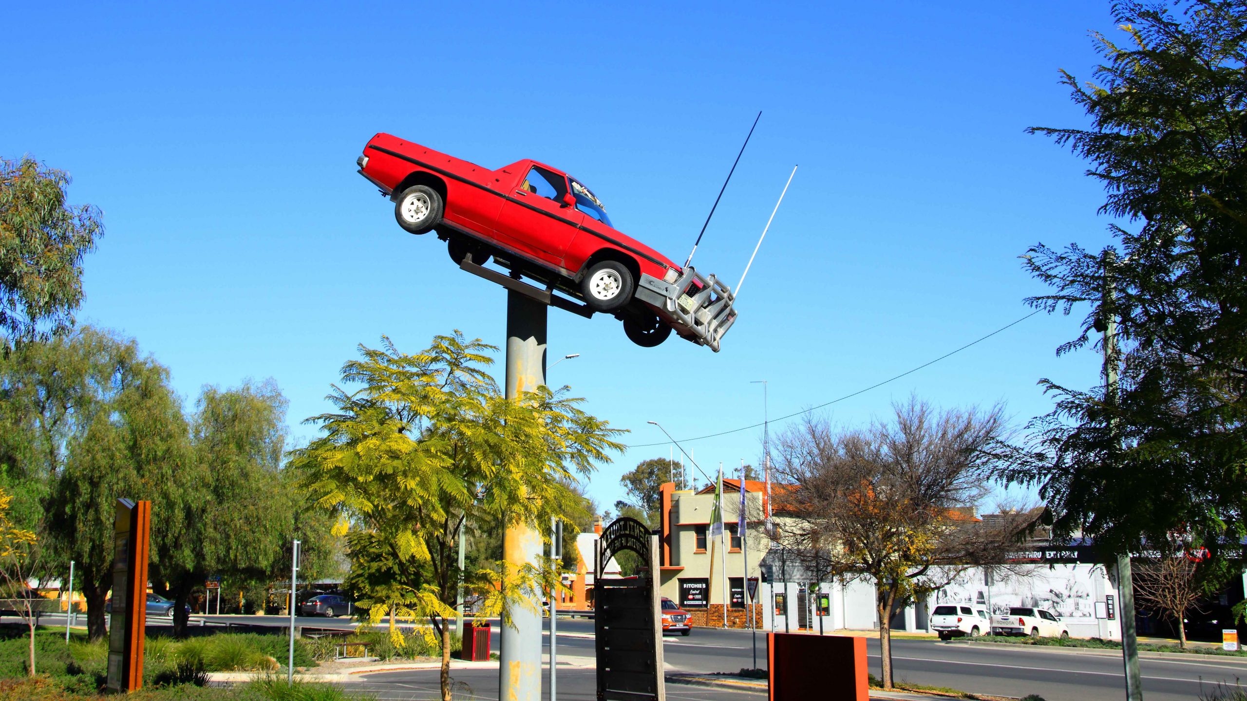
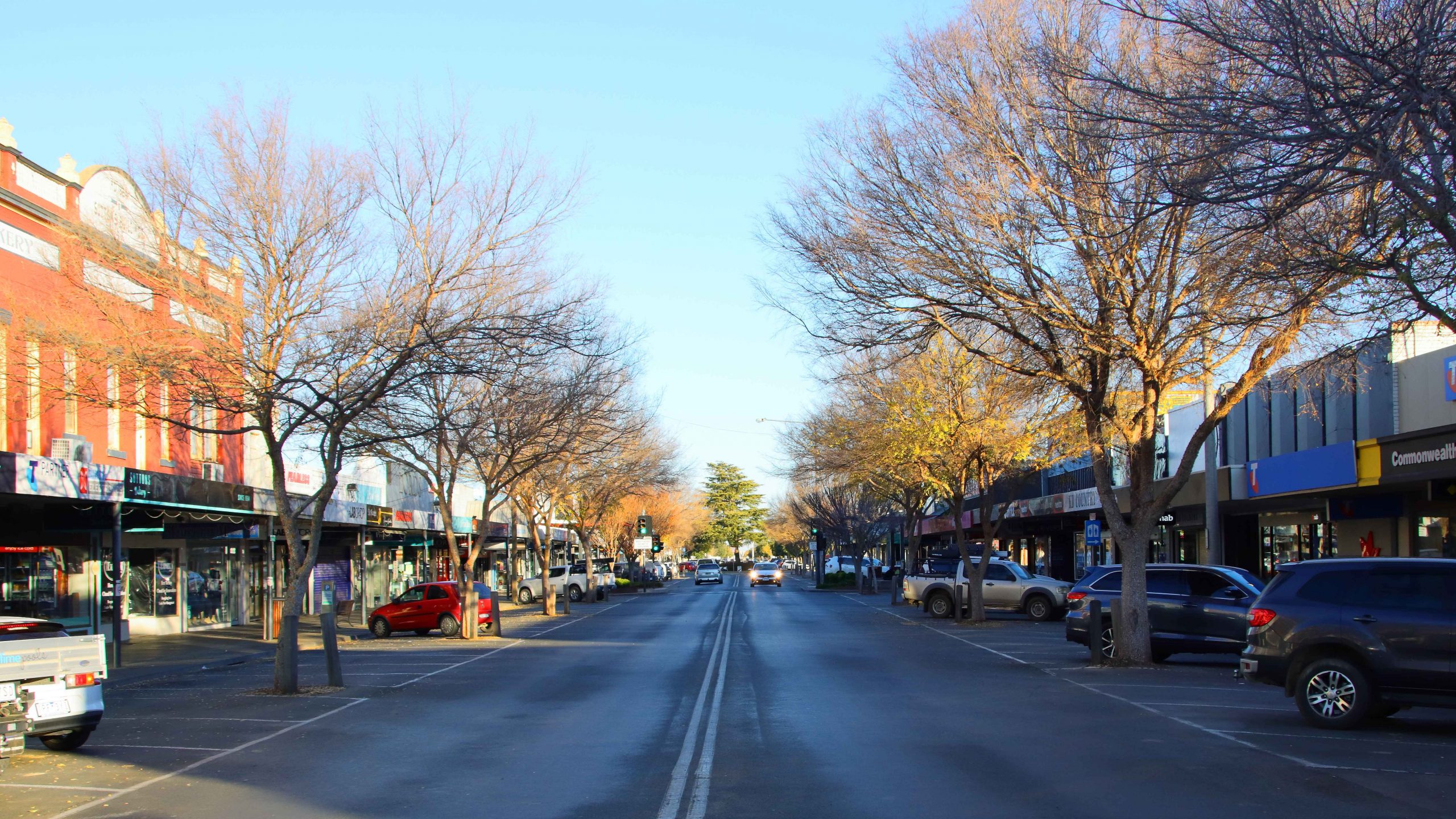
A mid-afternoon arrival at our Goondiwindi accommodation. The timing allowed me to do an afternoon walk with my camera, through the central town area and to explore the area near the Macintyre River. Goondiwindi is a substantial town with a population of around ten thousand people.

Day two was a run along the Newell Highway with the overnight stop at Coonabarabran. By the time that we booked into our motel the evening chill had set in, so I squibbed on a walk and stayed inside in the warm motel room instead.

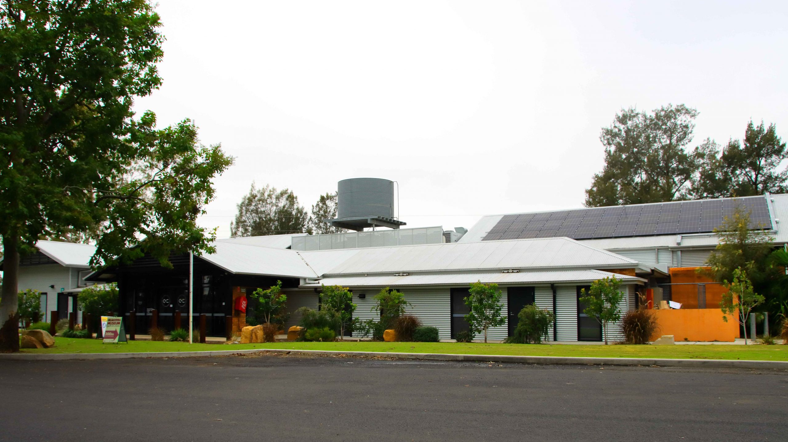
As a concession to advancing age we had broken the trip into shorter daily distances. Our third night was at West Wyalong. We took a break in Gilgandra at the historic Coo-ee Heritage and Information Centre, built to commemorate the start of the famous World War 1 recruiting march that commenced in Gilgandra and concluded at the recruiting office in Sydney. Lunch at Parkes, shopping at Forbes and the night at West Wyalong.

The Coo-ee Heritage and Information Centre at Gilgandra.
A muraL at the Coo-ee Centre almost appears to be part of the landscape.
The Edwards River at Deniliquin.

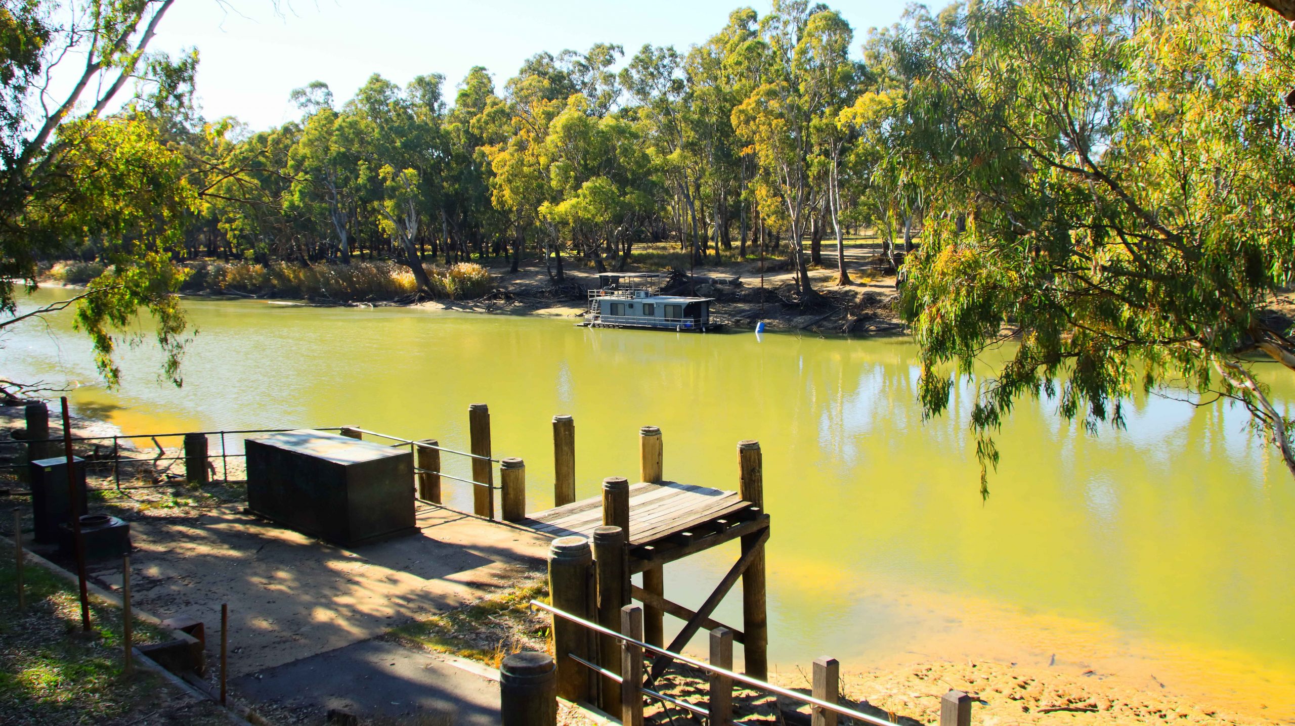
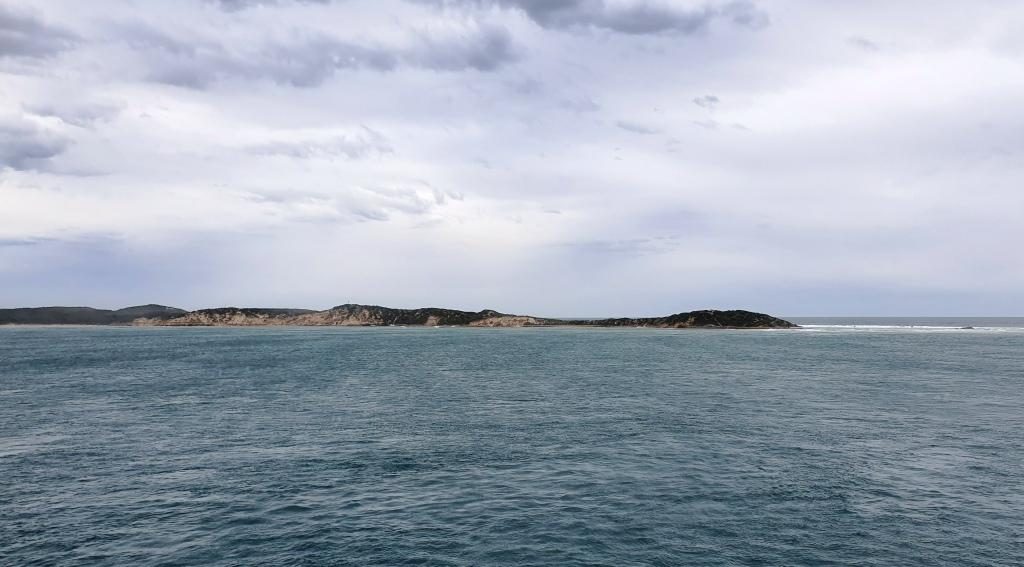
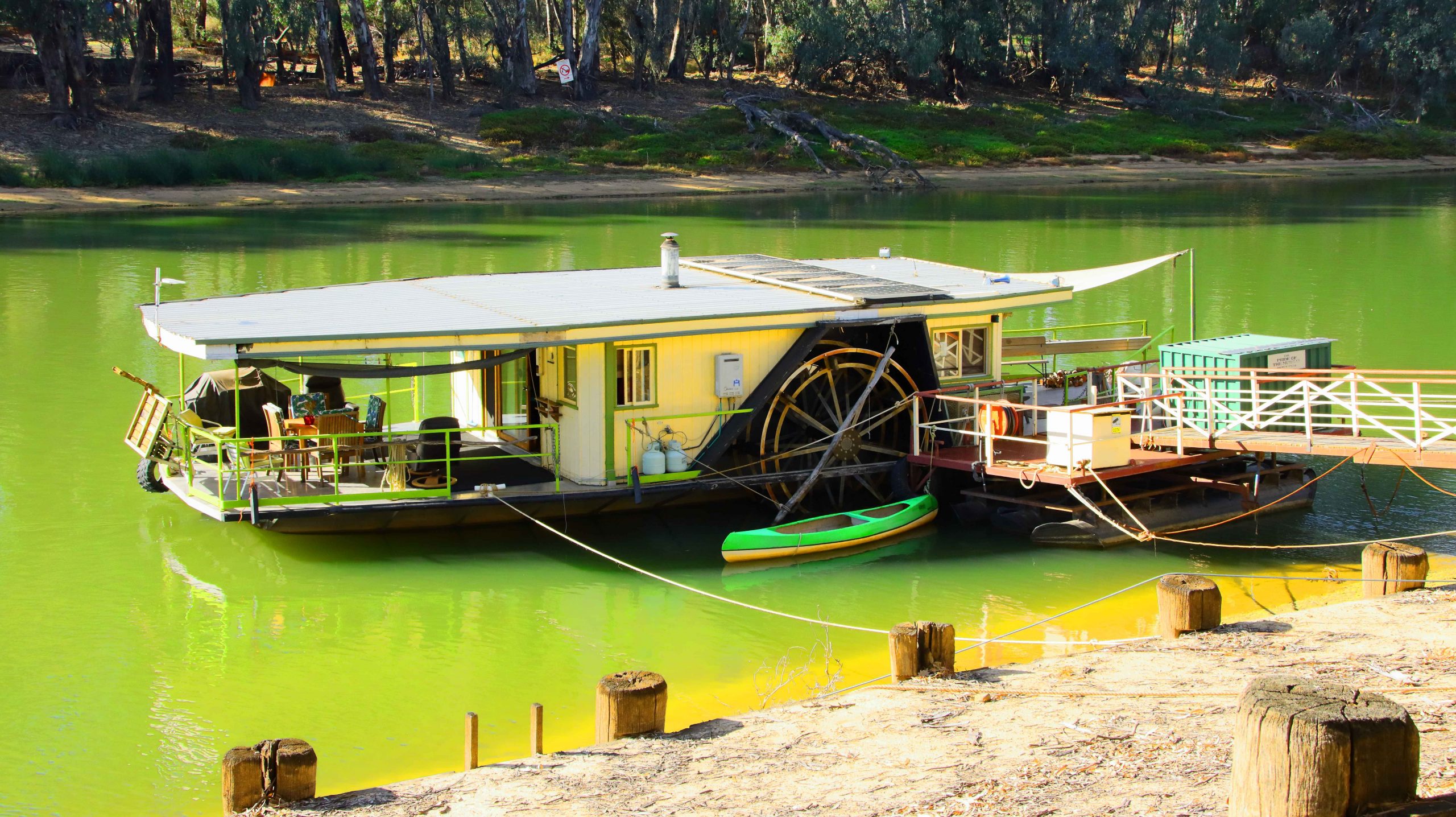
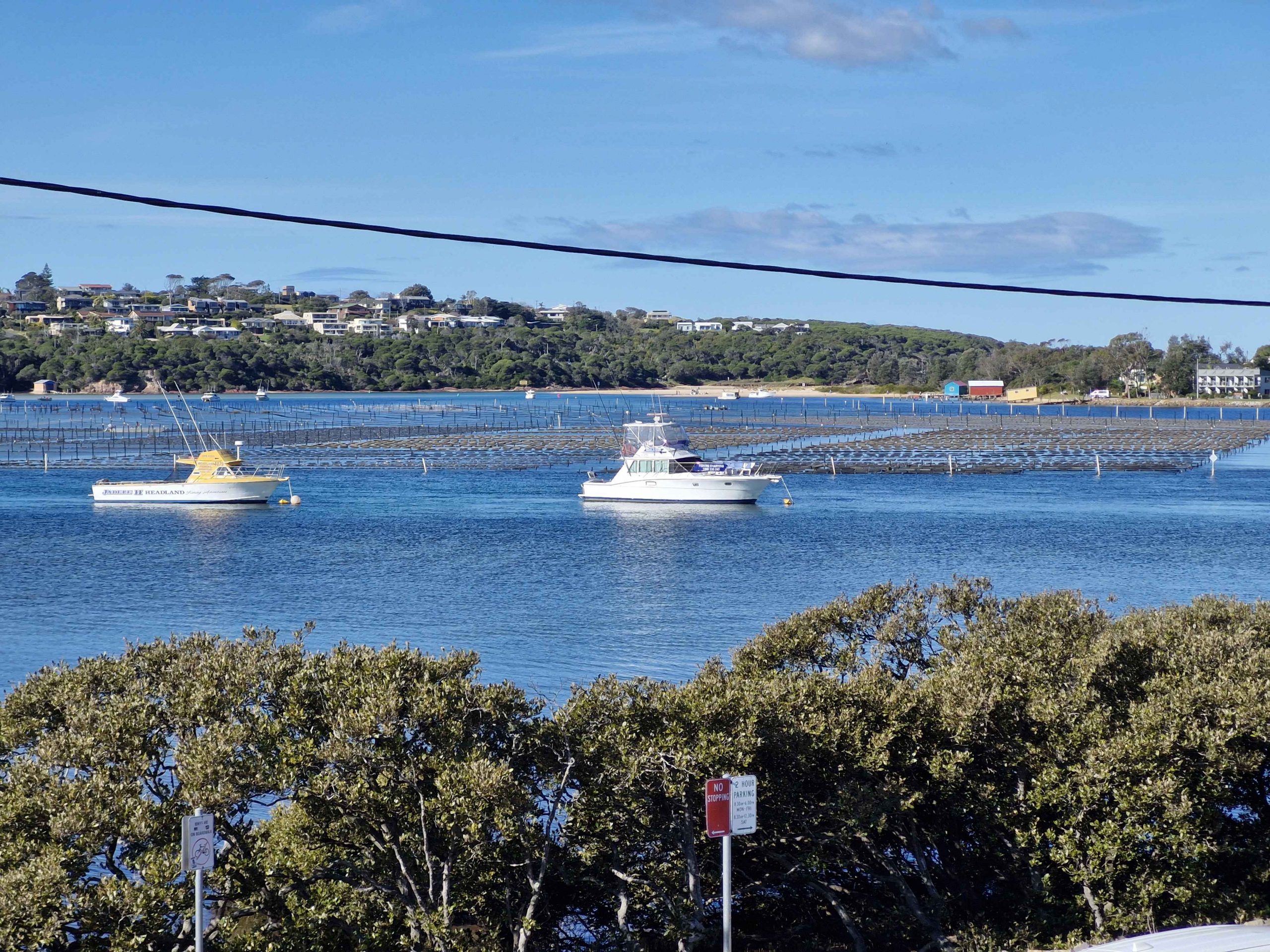
Day four took us further along the Newell Highway until we reached Jerilderie, where we turned left to reach the Cobb Highway at Deniliquin. This town, famous for its annual Utility muster, is on the Edwards River, a tributary of the Murray. Here we were introduced to paddle wheel steamer country, with examples of these historic craft and shallow draft houseboats, moored to the bank or aground on the bank of the river.

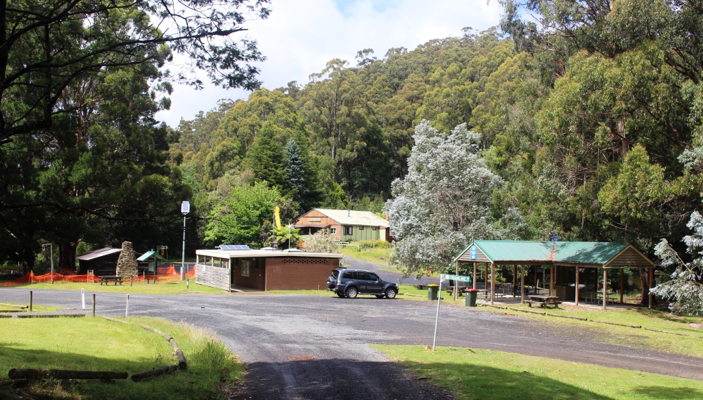
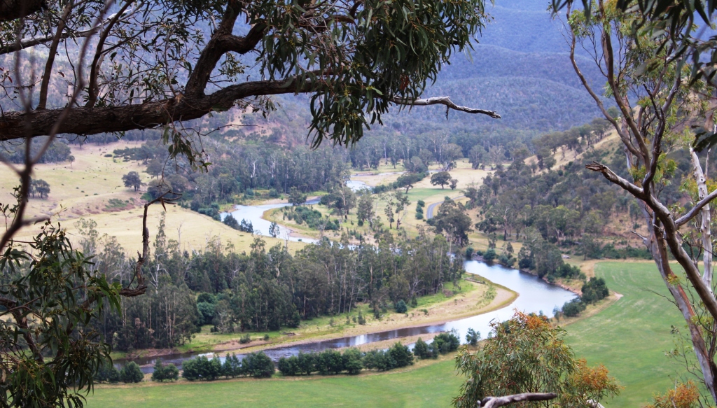
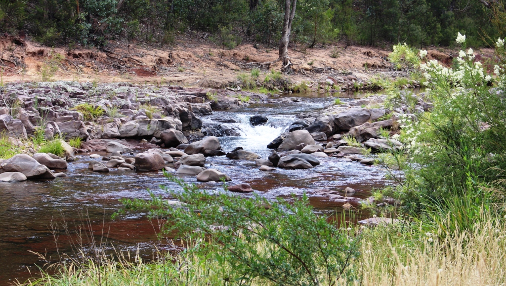
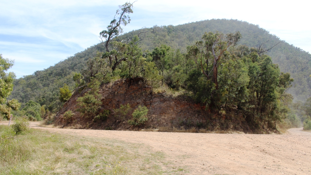
With time in hand, we decided to turn into the Barmah National Park, a lake and flood plain area on the Murray, not far from Echuca. It was on our list to visit so the call today saved us returning the next day. It is only about 20 km off the Cobb Highway.

The Deniliquin Ute Muster is held in the town annually.
Cruises of the lakes at Barmah National Park are available.
The Murray River at Barmah National Park.
Remains of River Gun giants of the past.

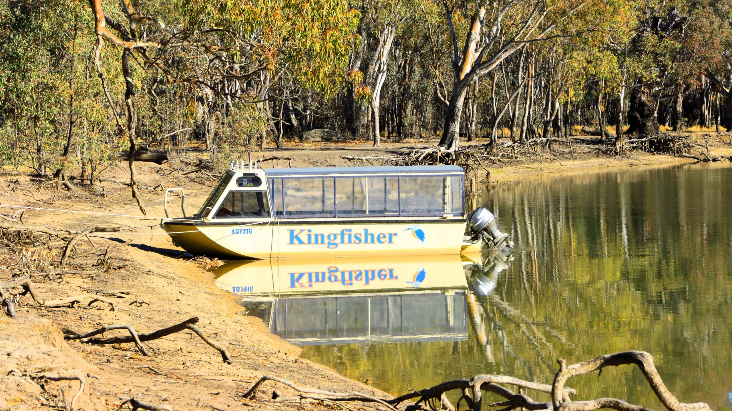
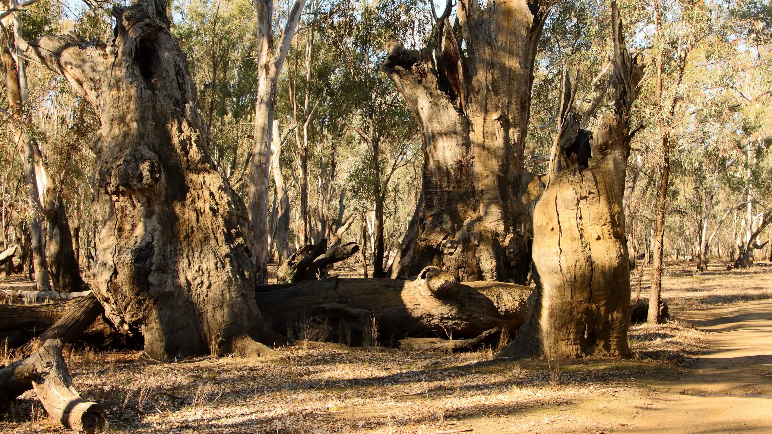
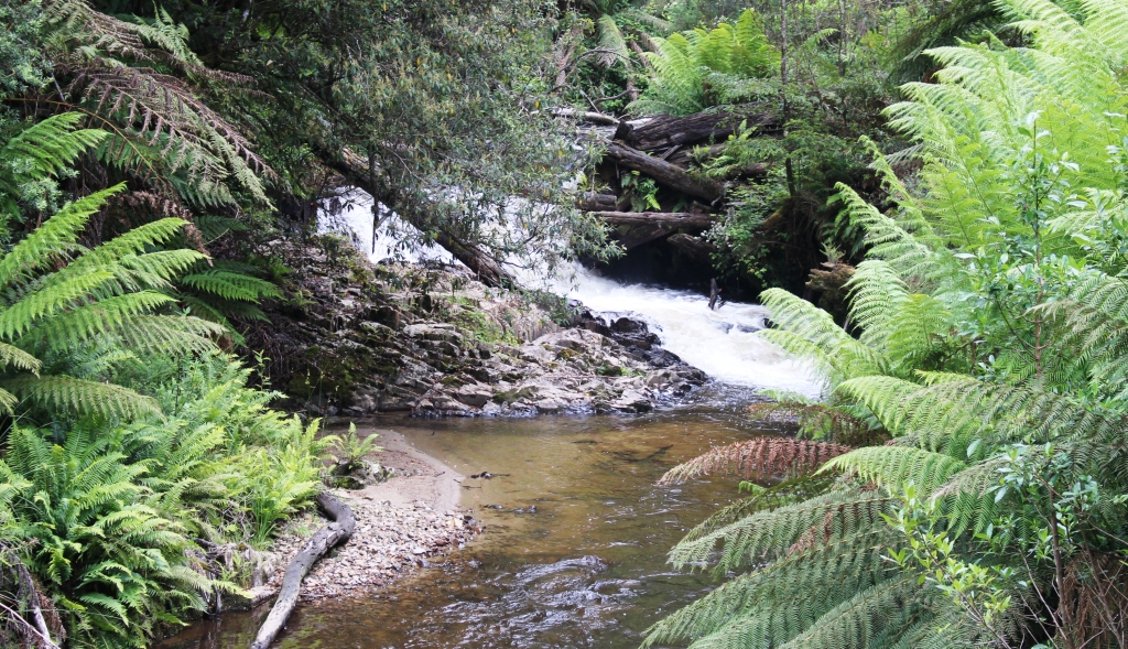
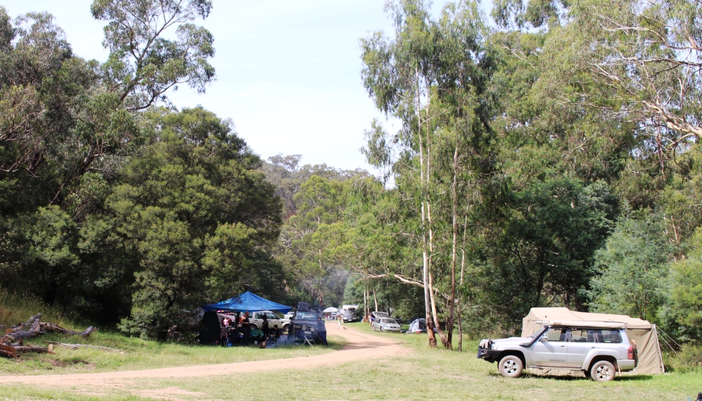
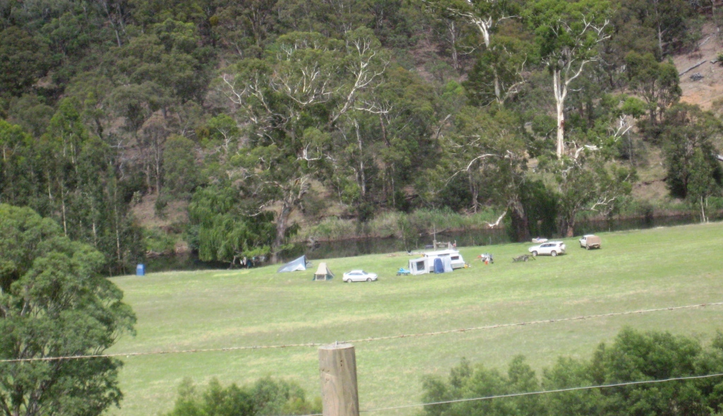
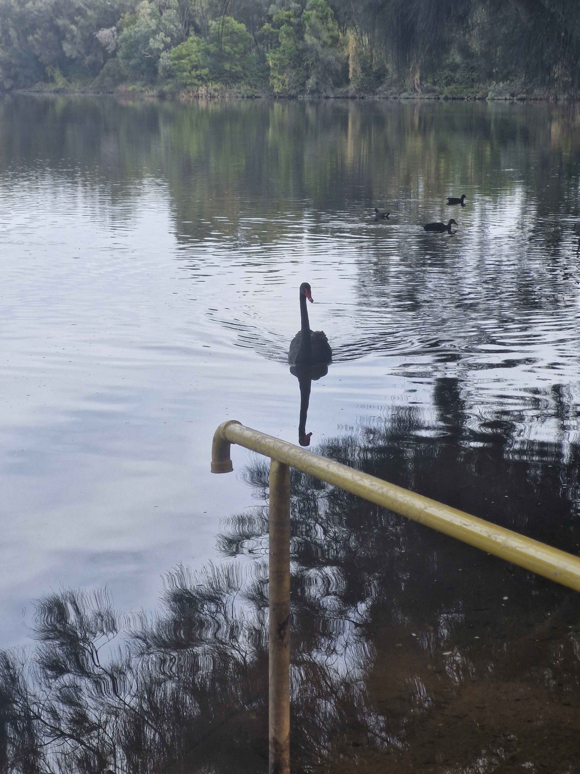
Barmah is a popular area and offers visitor facilities including a cruise boat for tours of the lake. Campers have ready access to a launching ramp near the camping ground and several hundred meters of shore at which boats can be moored. The entire public area is flood plain and evidence of flooding is everywhere. The forest is dotted with huge river gums, most still standing but some have succumbed to the rigors of nature and are slowly crumbling back to vegetable matter. It is worth a visit if you are in the area.

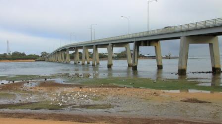
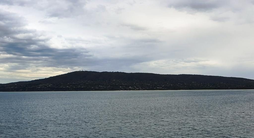
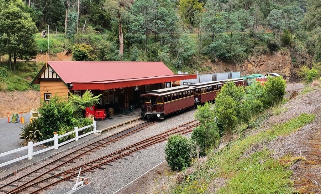
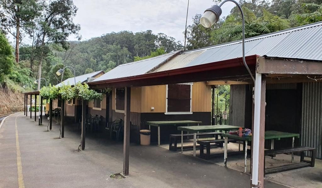
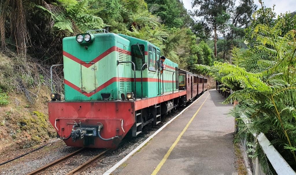
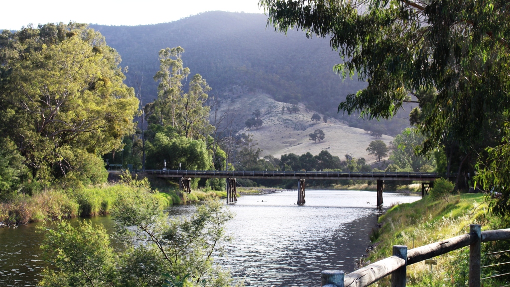
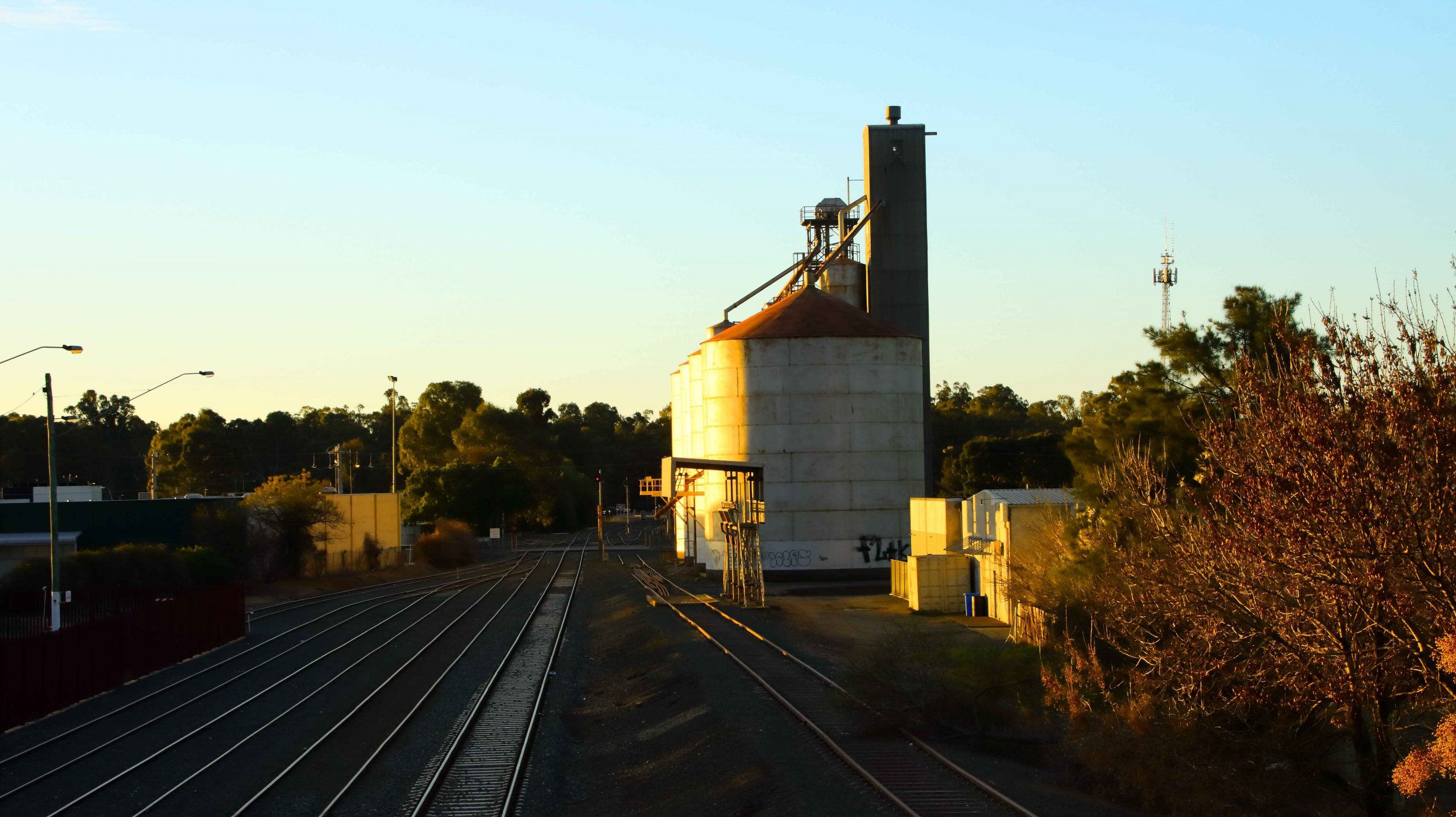
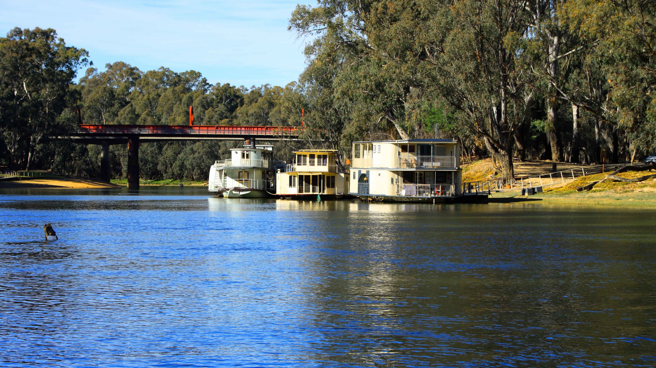
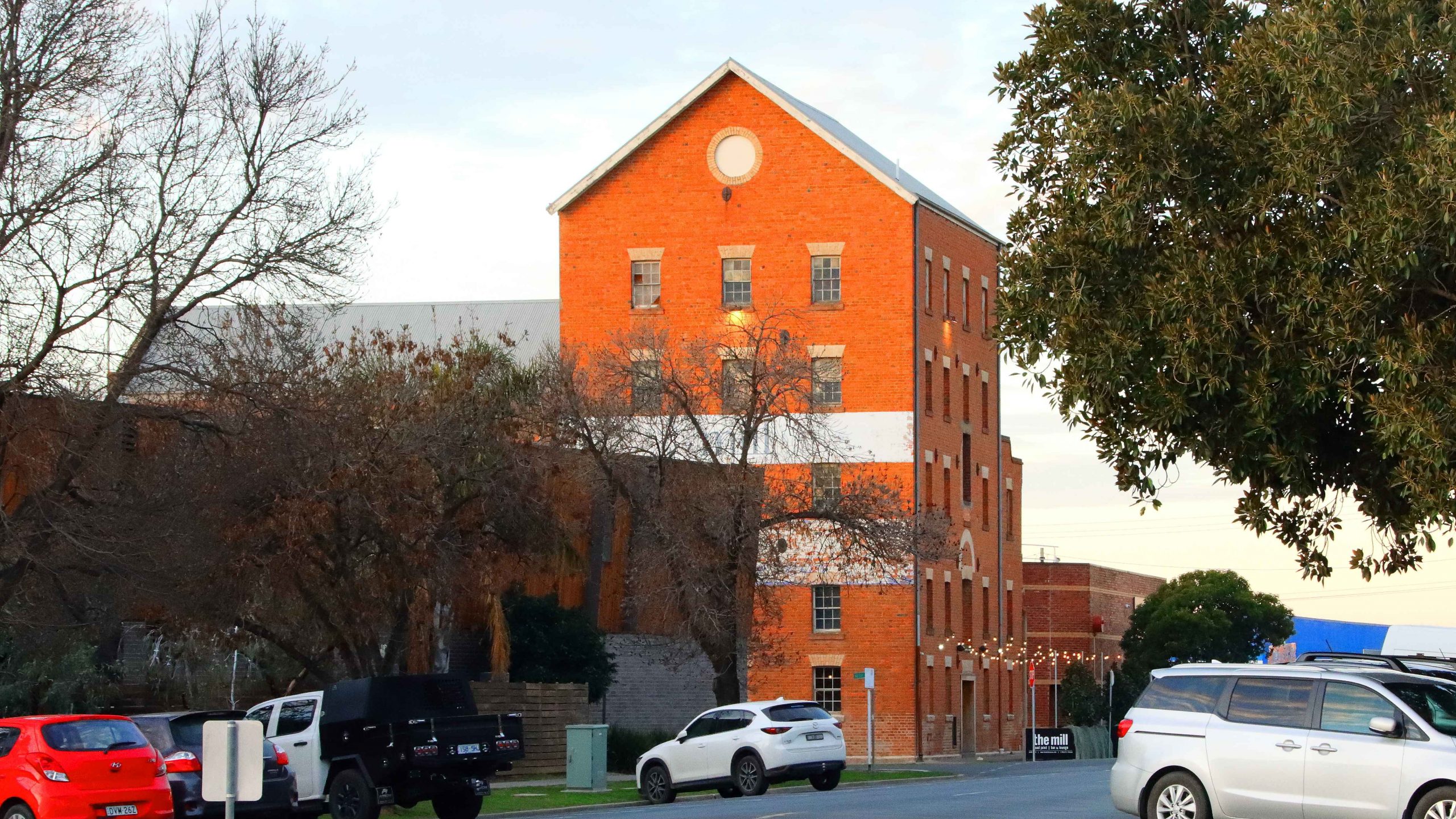
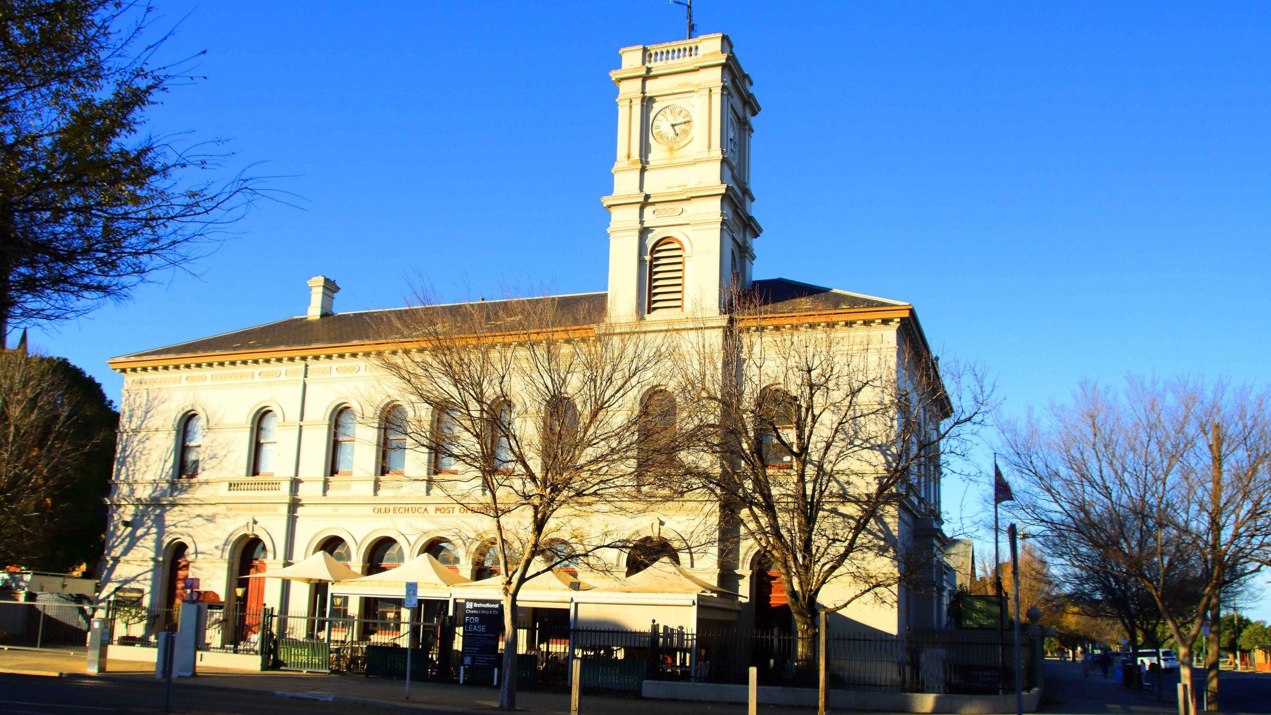
We reached the sizeable town of Moama, on the northern shore of the Murray, in good time and took the new concrete bridge, opened in 2024, over the river, to our hotel on the edge of the CBD. I had time for a camera walk before settling for the night. The evening light was very gentle on the historic buildings of the railway station where I took my walk.

Railway freight sheds in the evening light.
Grain Silos by the railway line that runs on into NWS.
The Caledonian Hotel-Motel, our residence in Echuca
Houseboats moored to the Victorian bank of the Murray River.
A paddlewheel houseboat

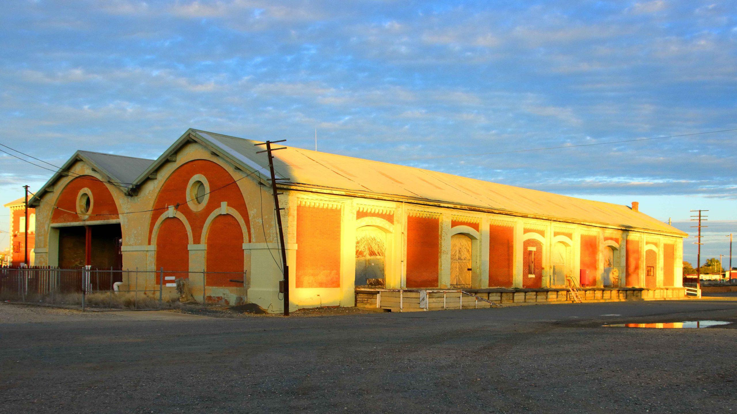
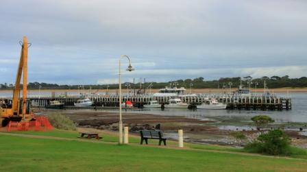
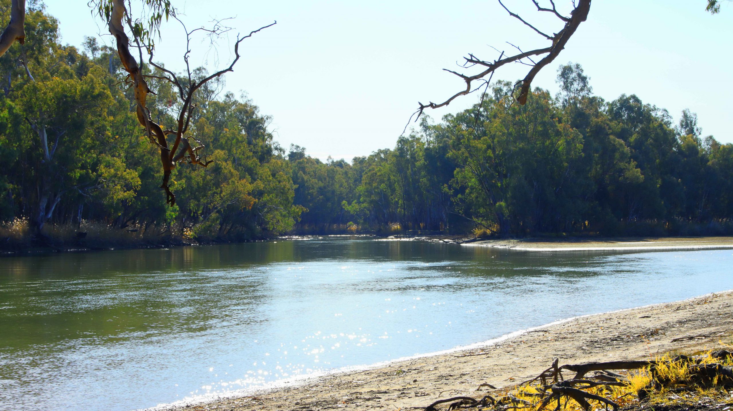
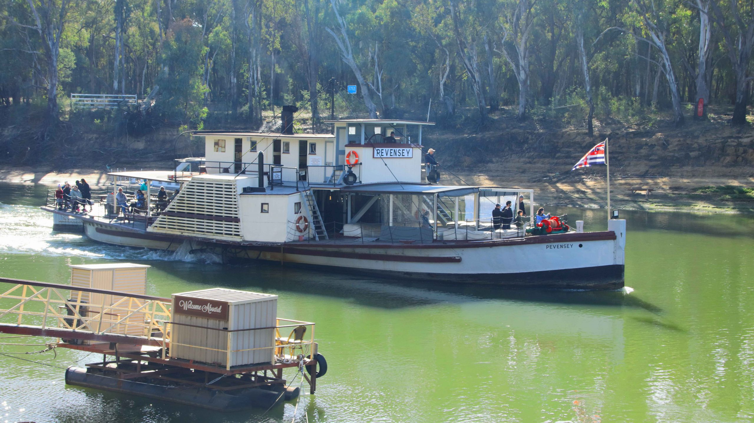
On Saturday morning, day six, we set out initially to find the location of our cruise paddle wheeler. Boating activity is centered on the old port area where the famous high-level wharf, so often seen in photos of the port, is to be found. Two boats were providing paddle wheeler rides, PS Pevensey, which was operating from the old wharf, and PS Canberra that was working from a floating dock a little further down-stream. Both boats were using the same section of the river, virtually taking turns in using the narrow strip of river provided by the low water levels currently in the Murray. The Darling River has had a boost from rains in Queensland but the catchment area for the Murray has received much less rain. It will get a boost from snow melt at the end of winter.

Having located the boarding place, we then went to find the mouth where the Campaspe River joins the Murray. Sadly the road in was only passable to four-wheel drive vehicles. It was a bit too far to walk.

The PS Pevensey, one of the oldest boats on the river.
Houseboats moored near the old river crossing at Echuca
The port precinct is the centre of tourist activity.
High Street, Echuca

We returned to our unit for an early lunch, to make sure that we were in time for boarding at 1.15 PM. During our morning reconnoiter we had established that Ruth would not be able to board, due to the steep angle of the boarding ramp. So we found a parking space that overlooked the boarding area. That was the best that we could do. Mobility limits can be challenging and lead to disappointment at times.

The Old Mill is now home to a restaurant of that name
Echuca’s Old Town Hall.

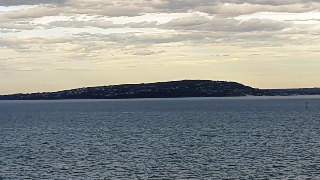
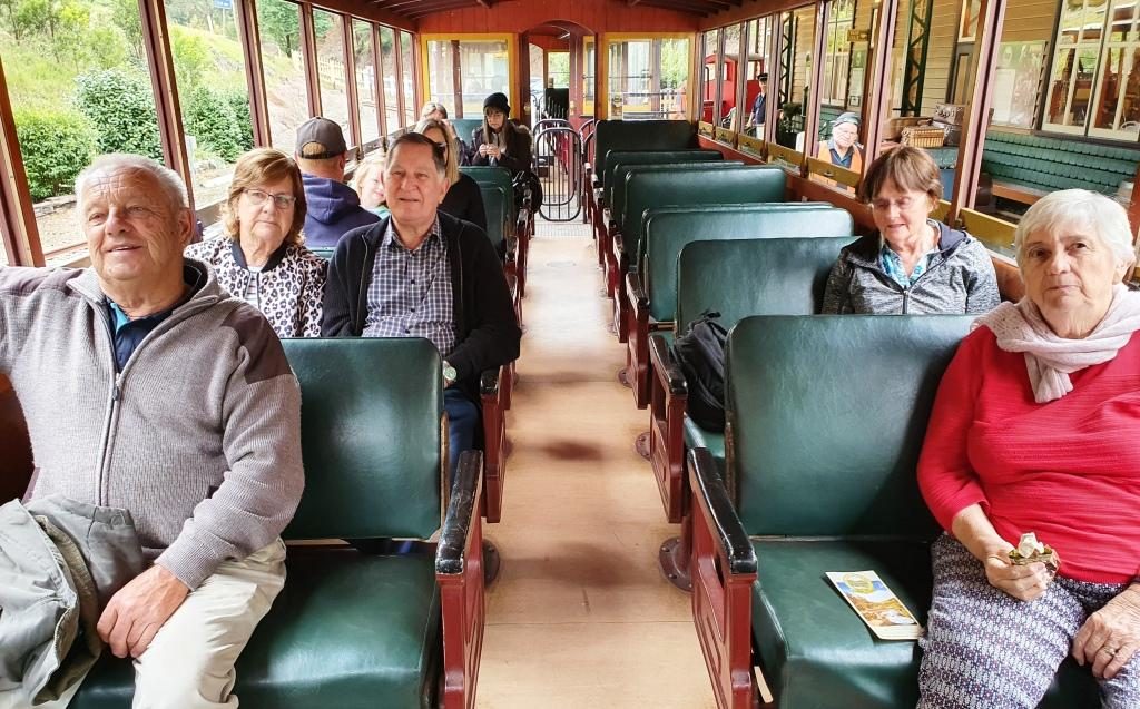
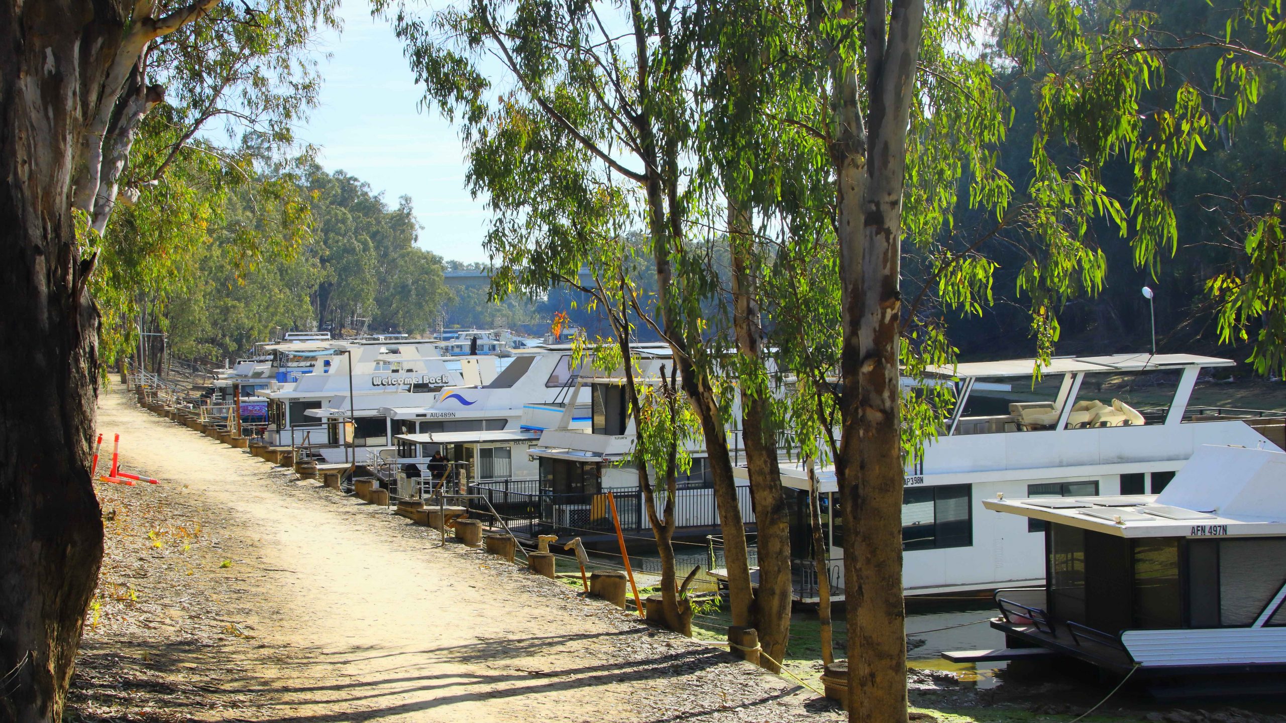
The cruise lasted an hour. We proceeded up stream to look at the historic wharf structure from the water. Then we turned down stream to retrace our course and paddle our way for about three kilometres. The scenery was mainly exposed river banks and rows of houseboats. Renting a  houseboats is one of the things that tourists do when they visit Echuca. But many boats are privately owned. Some of those were in use, with owners basking in the afternoon sun, sheltered from the wind by the banks of the river.

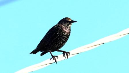
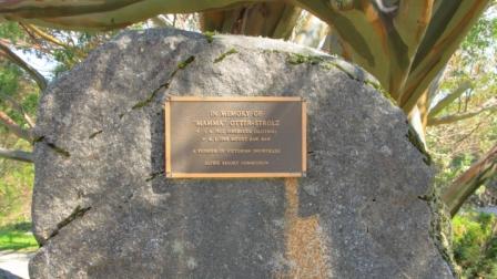
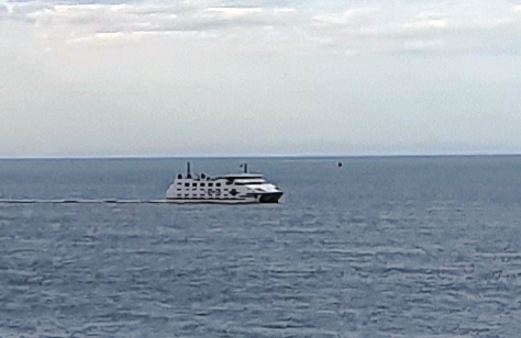
PS Canberra, pictured at the start of this blog, was launched in Mildura in 1913 as a single deck fishing boat. There was a change of ownership, a second deck added and she became a river cruise boat. Canberra was moved to Echuca in 1966 and has remained there ever since.

I shot video during the cruise. Here it is in edited form.

Rain came in over night and produced intermittent showers for the first hour or so of our trip south to Melbourne and then Warragul. Traffic increased as we approached Seymour and stayed with us much of the way to and beyond Melbourne. The rain did not follow us into Gippsland but the weather was cool for our arrival. We booked into our accommodation and called my sister and my brother to announce our arrival and make arrangements to meet the next day.

A huge mistletoe on a River Red Gum at Barmah National Park

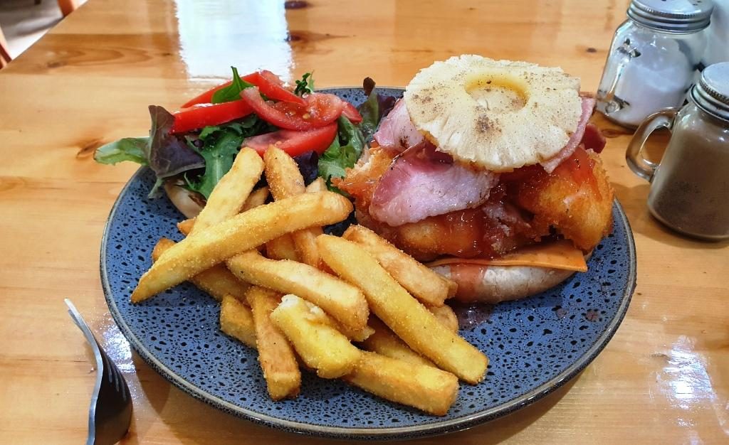
When away from home, conveniences that you take for granted are just not there. Our motel room was too small to spend much time with four adults in it, so we opted for lunch at a shopping centre where we could escape the cold wind, get coffee (tea for Bernard) and food and talk in some degree of comfort.

I should ad that we had been joined by my youngest brother Bernard, who lives on his farm outside of Drouin, and has done for most of his life. We had collected him in Drouin on our way through.

We had headed back towards Melbourne to the Westfield Fountain Gate centre at Narre Warren. This part of Melbourne we know well, but it is so changed. Ruth and I rented a flat near the railway station at Narre Warren about sixty years ago. It was our third home. Our move there had occurred as a consequence of me changing my job from Drouin to North Clayton. We had taken the first step towards becoming city dwellers.

We found a corner table in a food court. But it was a battle, as we were in the middle of Victorian school holidays. But we found shelter and sustenance, so had a good discussion before returning to Warragul and returning Aileen to her residence.

The next day we were joined by my sister-in-law Helen, widow of my younger brother Winston. I had four siblings, three brothers and a sister. Sister was youngest in the family. My elder and younger brothers passed away over recent years, as did my brother-in-law, leaving my only sister a widow.

Round Island off The Nobbies with the ramp to sea level in the foreground.

We collected Aileen and drove to Bernard’s farm where we moved into his larger car. Helen met us along the way. She is like Bernard, a retiring farmer. By retiring I mean that they have both ceased dairy farming and now raise beef as they wind down their level of productive involvement. Even farmers have to give up work some time.

A quick photo at Nobbies Lookout with Round Island in the top left hand corner. From left Aileen, Bernard and Helen. Ruth was smart and stayed in the car.

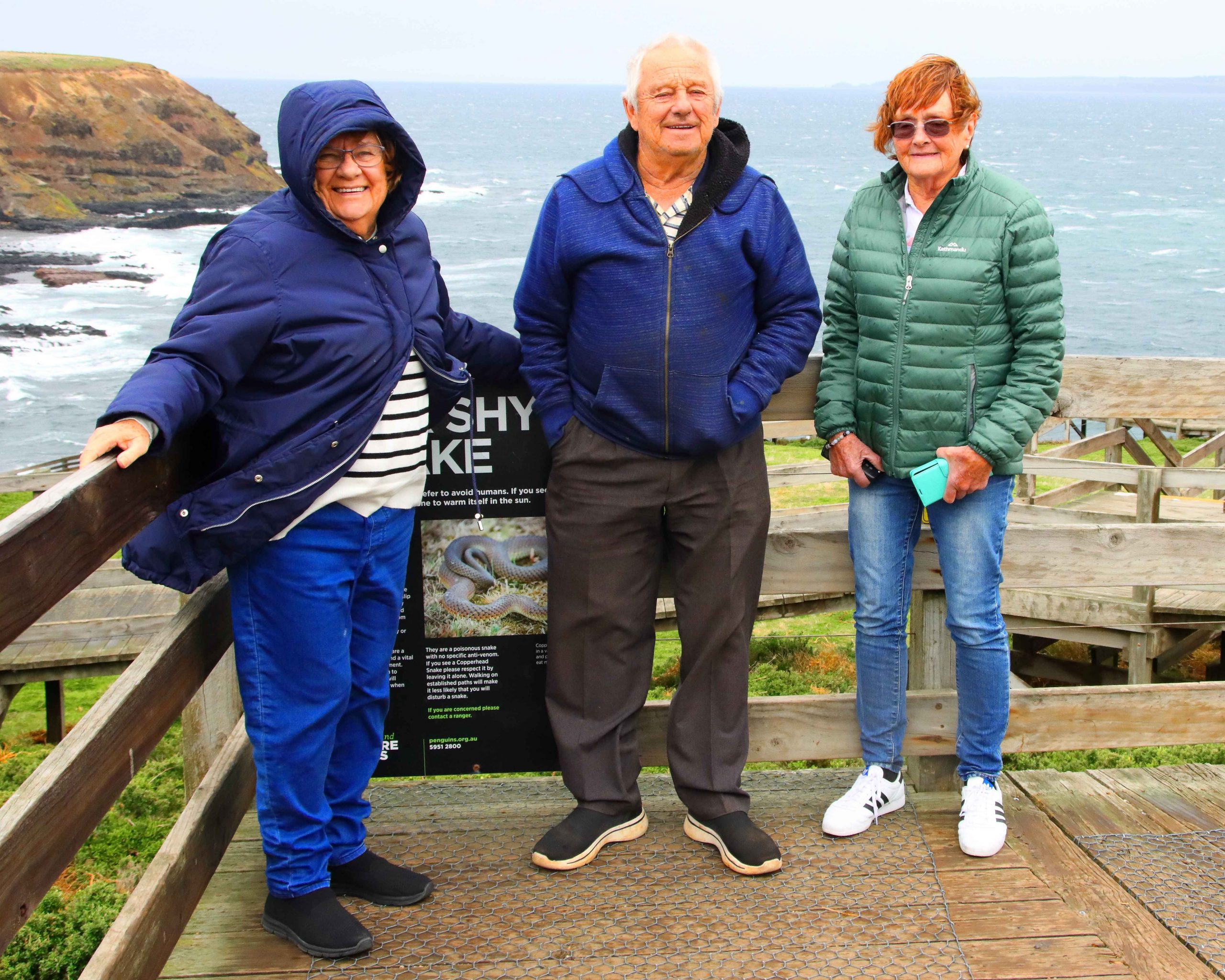
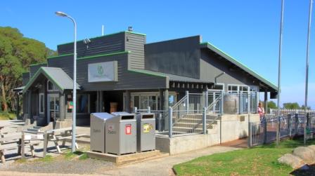
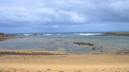
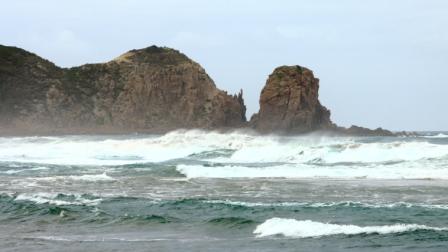
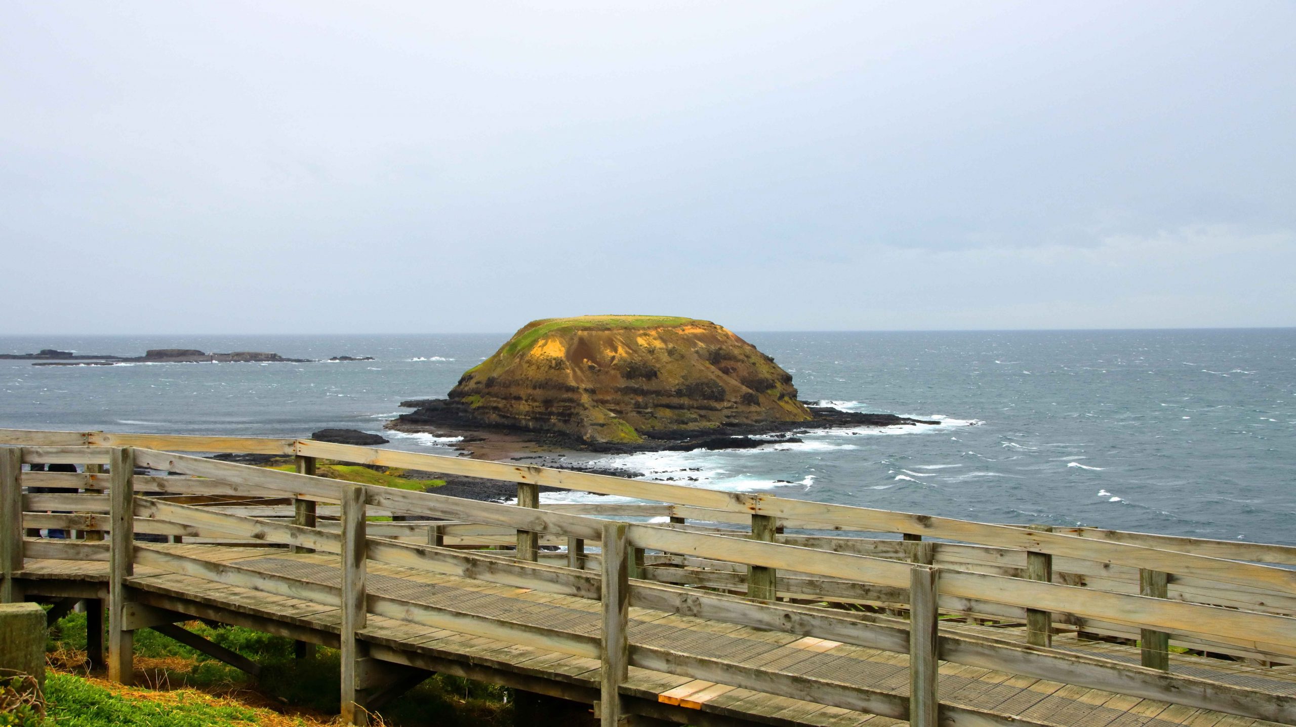
Our first stop for the day was San Remo. Talk about bleak weather. Even the life long Victorians were trying to avoid it. We gave up on fish and chips for lunch, got back into our cars and crossed the bridge into Phillip Island, continuing to  Cowes, where we found a parking space in front of a suitable eating establishment. Phillip Island Coffee provided shelter, food and coffee. What more could we ask for?

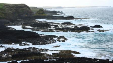
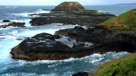
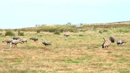
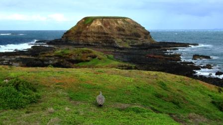
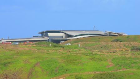
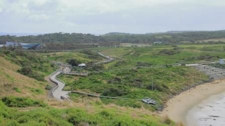
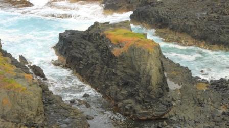
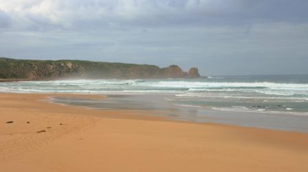
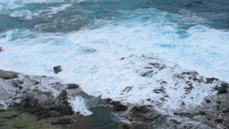
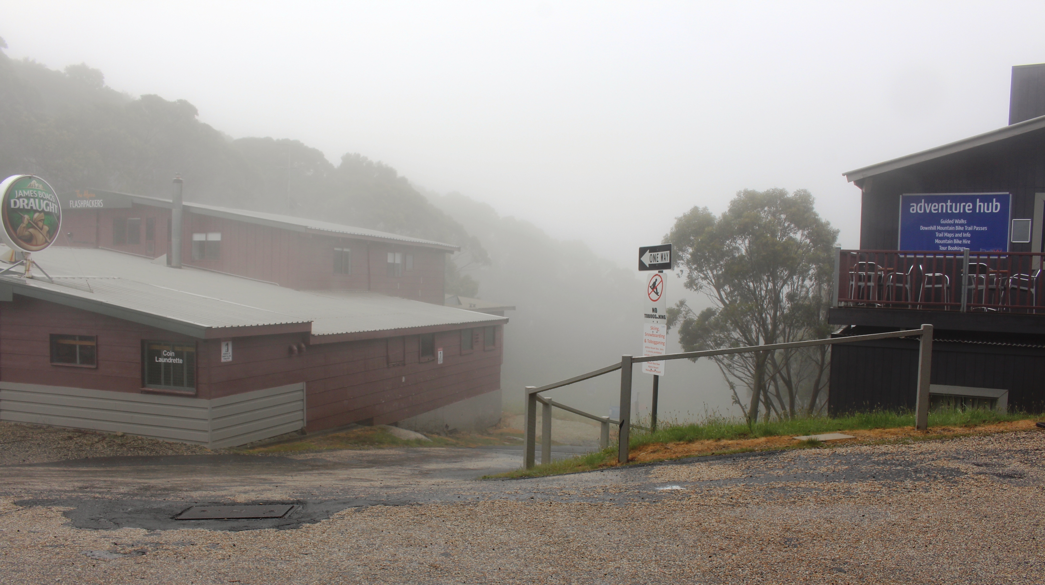
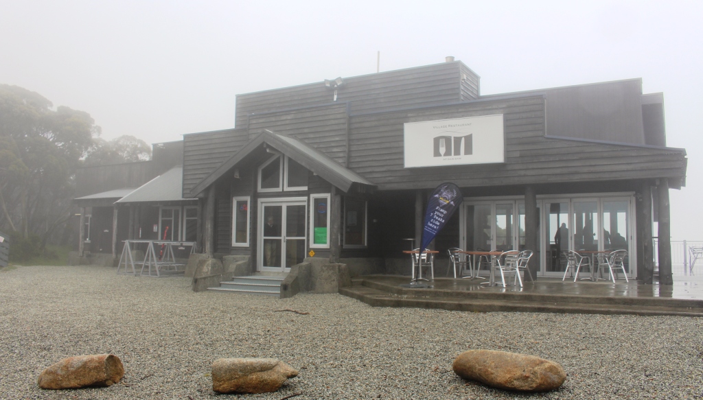
There really isn’t much to do in Cowes on a cold winter day, but knowing how bleak it would be, we still drove out to The Nobbies and experienced the kind of weather that we had anticipated. Just a quick look and a couple of photos and we were back into the cars.

We took a longer way back to Warragul, following the Bass Highway to Wanthaggi where we stopped for coffee and comfort. We then followed the most logical way back to Ripplebrook, the location of Bernard’s farm. Then back to Warragul to deliver Aileen before returning to our motel and turning on the heater.

Standing behind Ruth, from the left, Helen, Bernard, Me, Cousin Kelvin and Aileen.

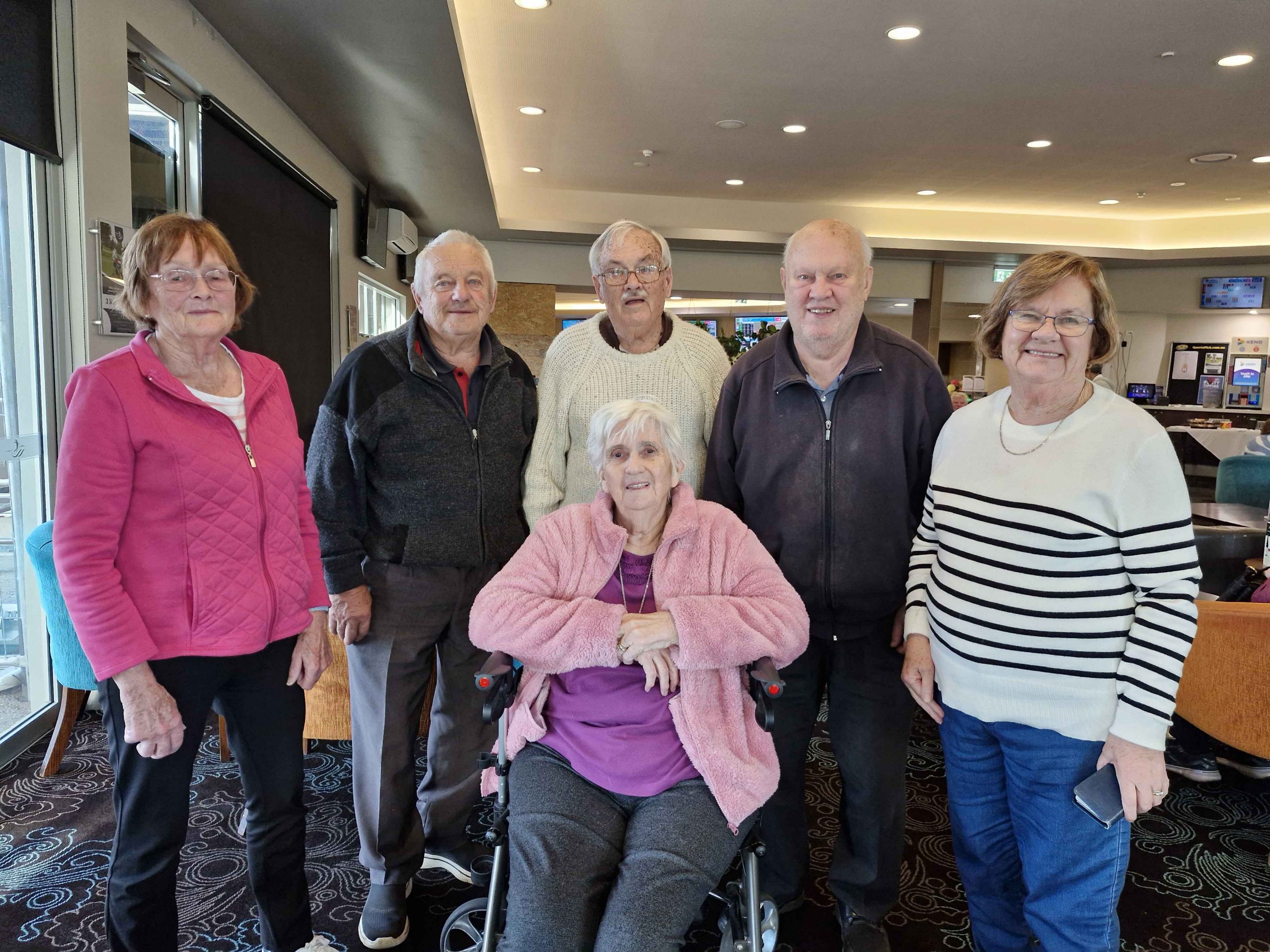
Wednesday was our last day. Ruth and I joined Aileen for very leisurely coffee at the coffee shop at her residence. We then moved on to The Warragul golf club restaurant where we met again with Helen and Bernard, plus a cousin, Kelvin Sheather, who also lives in the area.

We normally use the golf club for family catch ups and have been doing so for several years. It provides all the facilities that we need for lunch plus a lounge area where we can spend extended time in each other’s company. We went for a bit of a drive around the newer parts of Warragul before saying our farewells to my little sister.

The arcade where the gas company office was located is to the right. The main change since our time there, is the glass roof.

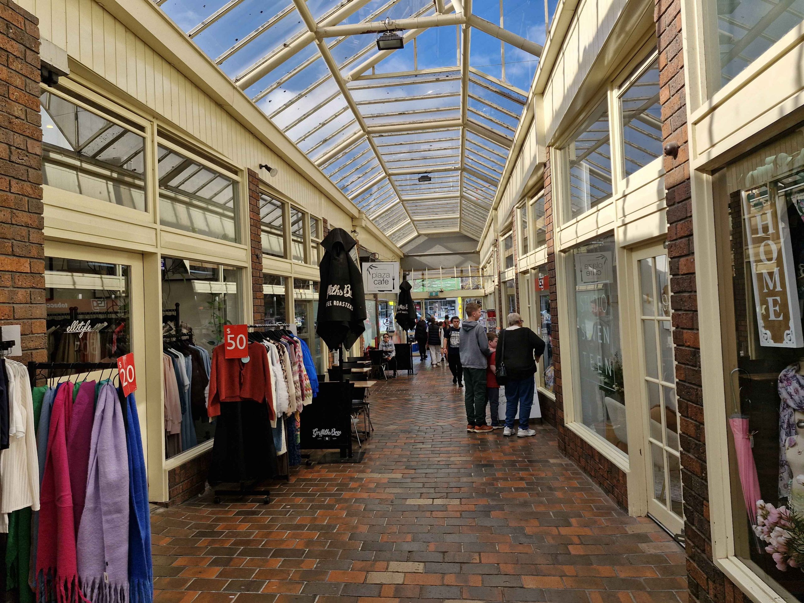
Warragul has grown and matured since our departure. I know its streets intermittently because for about four years I tramped them once a month, reading gas metres, as part of my clerical employment, by first The Colonial Gas Association and later The Gas & Fuel Corporation of Victoria, after a company take over. The office is still there after about sixty five years but is now a coffee shop.

Thursday morning and time to head on back towards home. Catchups planned for Bowral, Sydney and Toronto.

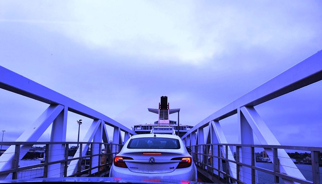
We both felt a bit under the weather from the start. We had developed coughs and congested airways. We didn’t think we had the dreaded Covid, as part of checking into Aileen’s accommodation was facial recognition, including a temperature check. Neither of us had elevated temperatures. We stopped at Morwell for Strepsils to ease throats but continued on to Orbost for our first night. The weather was still very cold and windy.

Boats and Oyster beds at Merimbula, NSW.

Next morning, at Eden, we called at a pharmacy for something to suppress Ruth’s cough and came away with three medications. We stopped for lunch at Merimbula but then made a detour to Bermagui to see if we could spot a coastal rock feature known as the Horses Head. We could see no sign of it where I thought it to be, so we moved on to our motel at Moruya.

We were on full health watch as we were now to within twenty-four hours of our next family call, this one with the most critical health aspects attached. We continued up the coast to Wollongong before turning inland to spend the night at Picton, at a motel on the old Hume Highway. We stopped for lunch at Kiama, along with most of the tourists visiting the area south of Sydney that day. Or so it seemed.

During the evening we talked to our family at Bowral and decided that the risk of passing on our ailments was too great. That was a good decision, because on returning home Ruth was diagnosed with influenza, despite having had anti flu injections. Our daughter Briony took a pass on our dinner arrangement. She is busy at work and doesn’t need a dose of the flu.

An inquisitive Swan on Georges River, Liverpool
Evening light on Liverpool buildings.

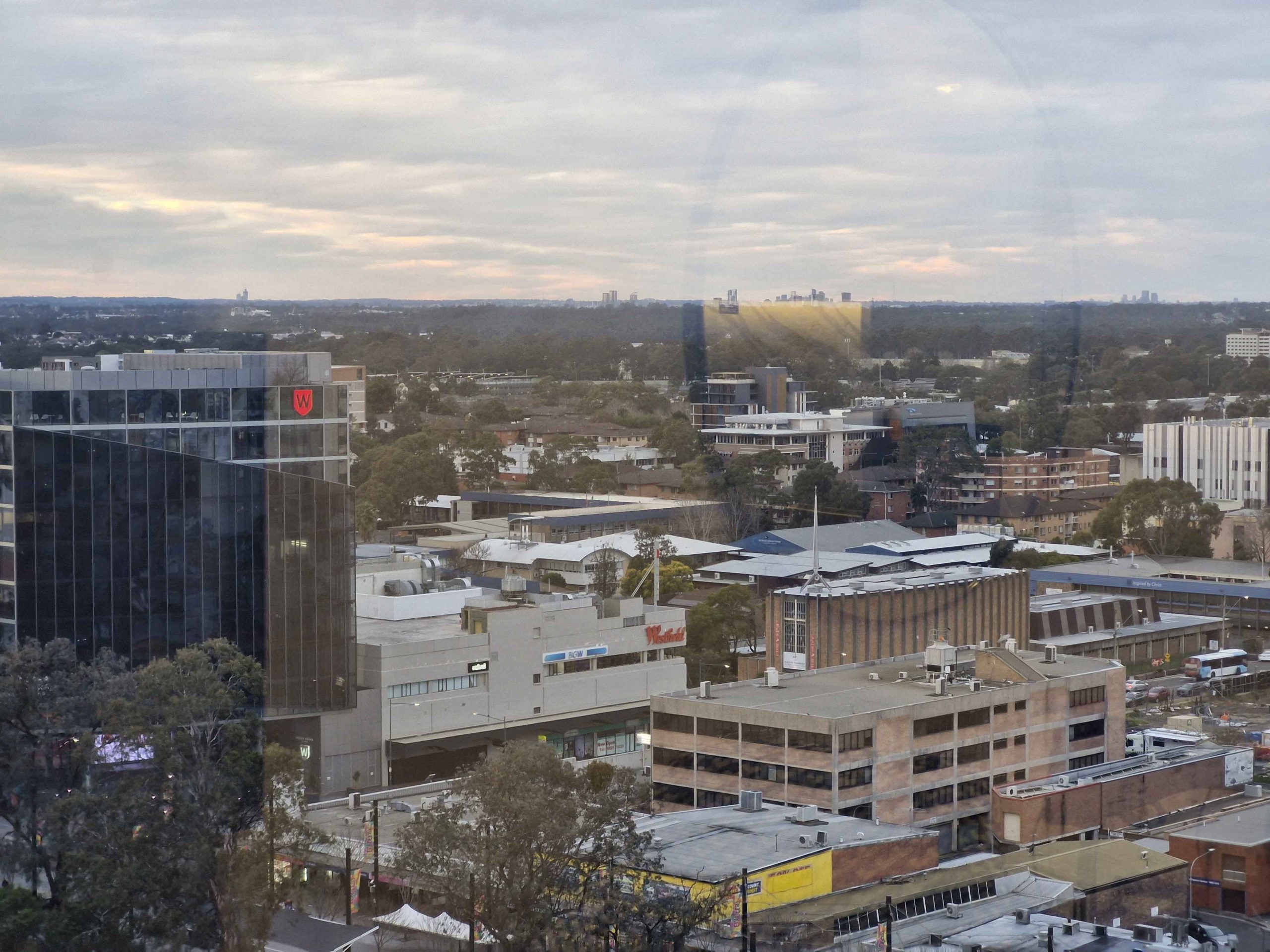
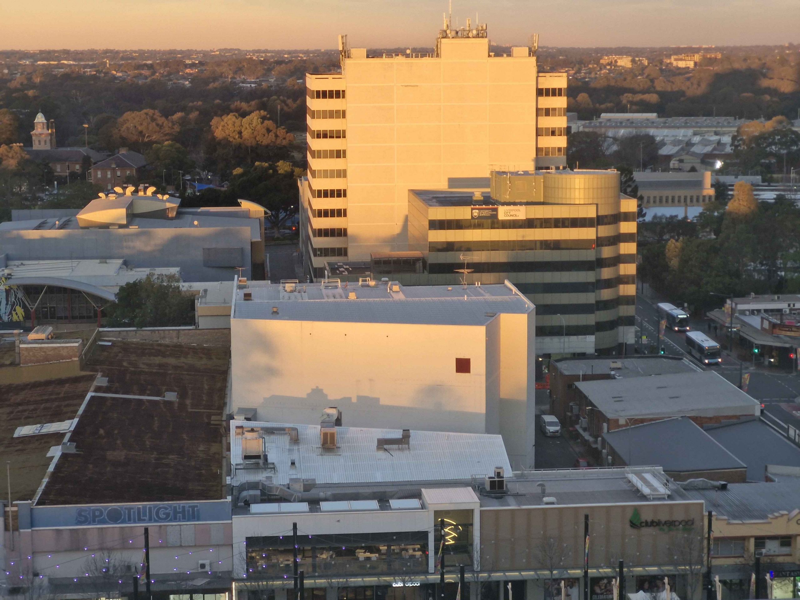
Our Sydney accommodation at Liverpool had been booked and paid for, with a check in time of 2.00 PM. So we found a sunny spot in a park by the Georges River and sat and read. I did a short walk. Then we found a place for lunch and then booked in to our hotel. Our tenth floor room provided views att the way to the City of Sydney particularly as the sun set.

This brought us to Monday morning again, so we made our way through Sydney morning traffic to that strip of adventure known as the Pacific Highway to Newcastle. We were impressed by the progress made on the Raymond Terrace bypass.

The Camden Haven River at Laurieton NSW.

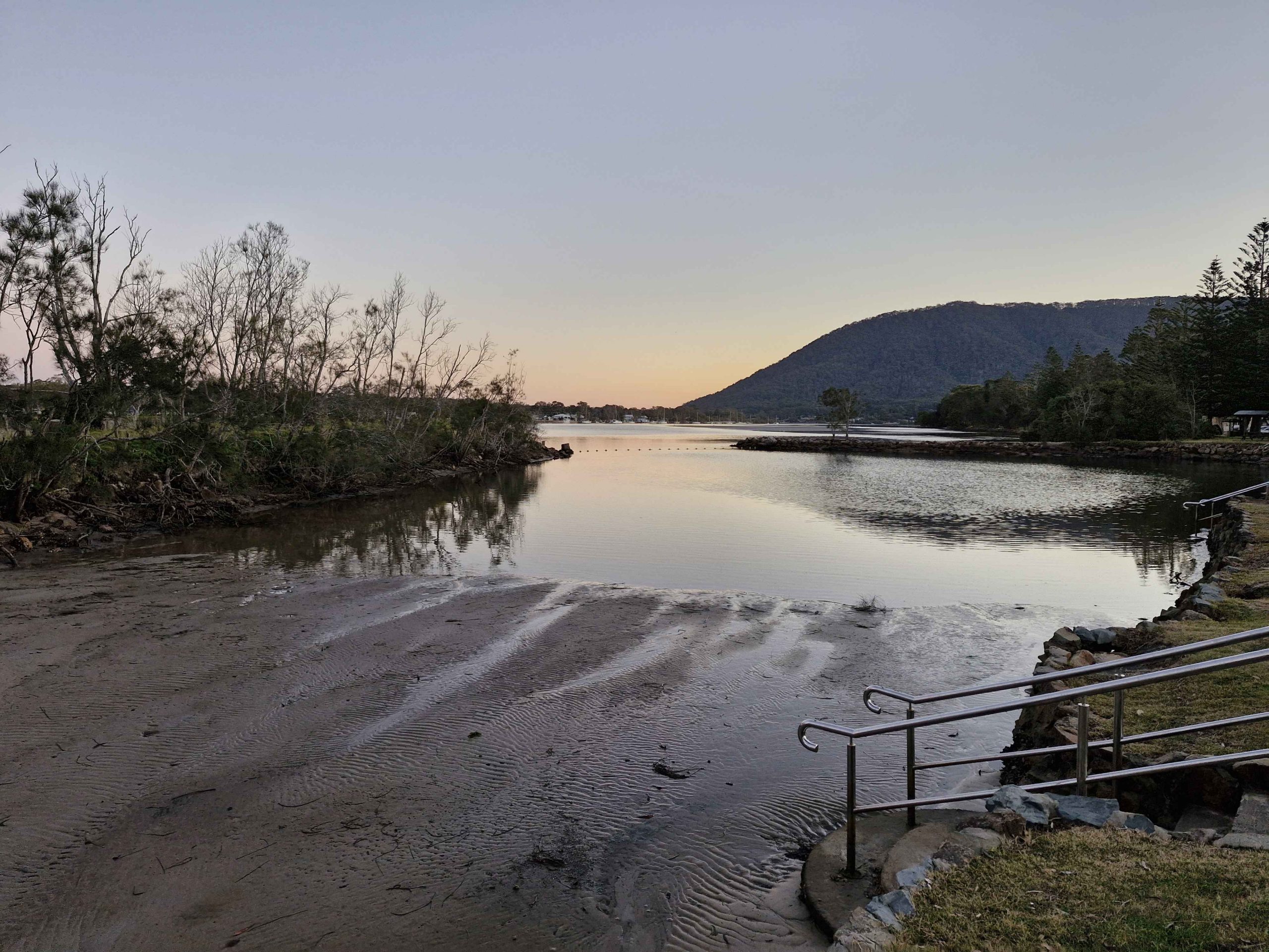
Our stop was at Laurieton for the night. Chinese takeaway for dinner. We had planned a stop for the following night at Yamba, with a final run home the next day. But we decided to abandon the Yamba booking and drive through. We were again impressed with progress on the Coffs Harbor bypass. It is a bit hard to work out how much longer the construction will take, as so much of it can’t be seen from the existing road.

A clear run to home with only a modest delay on the Gateway Arterial. As we had travelled north the weather had improved, warmer and with less wind. After the first day with a soar throat, my symptoms had disappeared and I felt quite well. Not so Ruth, who coughed and slept her way home.

So, we arrived home on Tuesday and achieved a doctor appointment on Thursday. Ruth was diagnosed with influenza, right on the cusp of phenomena. But she responded well to antibiotics and is now back to near normal.

We felt the trip was worth while, despite the disappointments of the second half. But the experiences did teach us that Melbourne and Gippsland are not a good idea for us in Winter.

The Family Responsibilities Tour – Part 2

Note: A video covering the material in this post can be found at the foot of this blog post.

Phillip Island south cost
A Common Starling greeted us at Trafalgar

We had chosen Trafalgar to stay because it was conveniently located to my Sister’s new place of residence, following the death of her husband, Colin. After breakfast we picked her up from Moe South and headed back towards Melbourne to reach our destination at the Drouin cemetery. Colin rests in a lawn grave but with an elevated headstone. My parents and younger brother Winston occupy similar graves in this cemetery. We quietly paid our respects before proceeding with our day, for which we had made no further fixed plans.

On our previous trips to the area, we had visited a bakery in Neerim South, a picturesque farming and now retirement town, in the southern foothills of the Great Dividing Range. Aileen’s doctor is located in the town, so she and Colin often visited here and took a coffee break at the excellent bakery. My Sister and Brother-in-law had got to know the very friendly Vietnamese female proprietor. Condolences were expressed during a very pleasant country chat. Good coffee and a delicious cake set the occasion off nicely.

Village Central Restaurant at Baw Baw operates all year
Small chalet with snow shedding roof

With most of the day still untouched, a suggestion to drive up to Mount Baw Baw was readily agreed to. We proceeded to the old timber town of Noojee and then followed the narrow winding road through Tanjil Bren to reach the 1,567-metre summit and site of the Baw Baw ski fields. There was no snow, thankfully, the day being mild. We probably would have launched on the sunny deck of the bistro if it had not been for the rather keen breeze blowing across the mountain. When we last visited, Boxing Day about three years ago, the mountain top was covered by thick cloud.

A memorial to one of the founders of the Mount Baw Baw ski village.

Part way back down the mountain a direct road to Moe turns off, so we took it, returning Aileen to her new home, a granny flat at the home of her daughter. We dropped her off and returned to our motel for a shower, as we were due back for dinner in the main house, with Aileen, her daughter and most of her family.

In our caravanning days we periodically met caravan owning siblings and others who hired a cabin, at a mutually convenient caravan park. We had decided to continue the practice notwithstanding our depleted numbers. For convenience we had booked for three nights at a caravan park at Cowes on Phillip Island, less than an hour’s drive from the area where our Victorian relatives live. And none of us are now caravan owners.

The weather was not brilliant but we were able to fit activities in between showers, without too much inconvenience. It was not beach weather but we are not beach people and the youngest of us doesn’t get much change out of eighty.

San Remo fishing port

Philip Island is an area familiar to us from our time of residence in this part of Victoria very early in our married life. There have been many changes over the years but the area has not changed that much either. There is much more accommodation on offer and increased opportunities to spend money, but Phillip Island still is essentially an area of farmland with a couple of towns. But it is scenic and relaxed and a suitable place to take a few days of relaxation, its charms increased because it is all on an island.

San Remo Bridge to Phillip Island
Part of the main street of San Remo
Round Island and The Nobbies

Tuesday was the day for travel to Cowes, but first we joined Aileen and a couple who are mutual friends, for coffee in Drouin. The road from Drouin to Cowes passes the front gate of youngest brother Bernard’s farm, so we headed off in convoy. At San Remo, where the bridge carries the road to Phillip Island, we stopped for lunch and probably overindulged a bit on local fish and chips.

Cape Barren Geese grazing. They are grass eaters.

San Remo to Cowes is a 16 km drive.  We checked into our cabins and settled in. Rain had commenced so we had a cuppa, while watching it though the window. For dinner we found a bistro at a local pub and fed ourselves again, but a bit more sparingly this time.

A Cape Barren Goose watching Round Island

Wednesday dawned, an improvement on the previous day, so we set out for The Nobbies, where a visitor information centre is located at the south west tip of the island. This is Seal and Penguin territory but there were no Seals visible on Seal Rocks and you really need to return at night for the Penguins. Many years ago, when we lived not too far away from here, you could walk near the Penguin burrows during the day and see a few birds. In this modern tourist era such are the demands of commercialism and environmentalism that the whole area is now behind security fencing, with tiered seating on the sand dunes and even dugout bunkers for those willing pay more to see the Penguins up close.

Rear view of Nobbies Visitor Centre

At The Nobbies, the visitor centre provides viewing areas in the rather elaborate National Parks souvenir shop which has an excellent café as well. The area overlooking Round Island and Seal Rocks is well supplied with boardwalks and wooden stairways, so viewing the scenery and the flora and fauna is easy. The wildlife available was the Cape Barren Geese that occupy the area in considerable numbers. An approaching rain squall encouraged us inside for coffee.

The Penguin viewing area at Summerland Bay, Phillip Island

Coffee done and rain gone too, we made our way along the south coast until we reached the Phillip Island Grand Prix Circuit, turning into each road that would take us to the coast. This part of the coast is a series of coast scapes that are a photographer’s delight. With the weather deteriorating, we returned to our cabins via the supermarket, to acquire toasting bread and soup to provide us with the ingredients for a suitable lunch on a cool and damp afternoon.

The clouds cleared later in the afternoon. A couple of our number went on separate walks. Aileen and I went looking for some birds for me to photograph, but we only found Kangaroos. We returned to the bistro of the previous night, for another excellent meal.

Part of Phillip Island’s south coast
Kitty Millar Bay
Woolamai Beach
Waves breaking on Cape Woolamai

On Thursday morning we finished our tour of Phillip Island’s south coast. We drove to the Woolamai surf beach, parked in the provided area and walked along the beach to the east, as close as we could get to Cape Woolamai. There was a decent surf running so the wave action against the cliff face and exposed reefs was producing lots of spray and froth. Near the end of the beach a flight of stairs leads to the walking tracks that give access to the elevated areas of the Cape and the lookouts that are provided on these vantage points. A full day would be required to do the area properly. Flocks of Shearwater can be seen in that area but we didn’t see any. But there were Pacific Gulls that we don’t usually see around Brisbane.

Pacific Gull

After coffee at Newhaven, we crossed the one lane bridge to Churchill Island. This island faces into Westernport Bay and was a farm. The old farm house is open for inspection and there are animals and historic displays. The elevated centre of the island provides good views of parts of Cowes and the waters that surround the island. These waters are home to many birds, including Black Swans, a variety of ducks, Ibis and others. In wetlands back on the main island there were more water birds, including Spoonbills and lots of Australasian Swamphens. Swamphens are common on Phillip Island.

A Donkey by on the walk near the old homestead
The old homestead on Churchill Island is open for inspection for a small fee

The afternoon was cool with a constant breeze. We repeated the previous day’s soup arrangements for lunch. It was both a soup day and a jacket day for us Queenslanders. The afternoon was spent quietly. I might even have had a nap. For dinner we feasted royally at a Chinese restaurant.

Waves break against the south coast of the island

That brought an end to this limited family reunion. We packed our gear into bags and the car and after breakfast headed off. The Victorians departed to their separate places of abode. Ruth and I went via the quickest route through Melbourne to the Hume Highway. Our journey home is covered in the next part of this story.

Destination Tasmania – Part 12 – Bass Strait & Walhalla

2nd to 5th March 2020

Please Note: At the foot of this post you will find videos covering the material that the blog post contains.

Our location for our last night in Tasmania provided a further benefit as we drove the short distance, through a morning shower, to the ferry. We had to turn at a roundabout that put all the traffic coming out of Devonport to catch the Spirit on our left, giving us right of way. But loading was still a slow progress as the ship arrived late from Melbourne. I felt sorry for the yellow coated attendants as they stood around in the rain waiting for something to happen.

Driving up the ramp to board the Spirit of Tasmania

We had another good Bass Strait crossing. The expected strong winds did not eventuate. There was a slight swell running through the Strait but not enough wind to produce white caps.

The wharves on the Mersey River and HMAS Stewart visiting its home port

We had travelled south on Spirit of Tasmania One and returned on Spirit of Tasmania Two. They appear to be identical twins and very suited to their task. We had no complaints at all about either of them.

The north coast of Tasmania sliding under the horizon. The flat coast does not suggest the mountainous nature of Tasmanian topography.

We had booked recliner seats for the return, as a cabin was not needed for a day crossing. The recliner seats are at the back of the vessel, facing towards the stern. There are four rows and the seats have full height backs so unless you are in the first row your view is of the back of the seat in front. So we spent much of the day in the top deck lounge where the view of the water was good and we were near food and coffee.

Point Nepean, the eastern headland of Port Philip Bay viewed from inside the heads

We reached Port Philip Heads in daylight and came up the bay as the daylight faded. We docked in darkness with the City of Melbourne a mass of lights ahead of us. Disembarking was a slow process as Melbourne’s peak hour traffic made it difficult for vehicles exiting the terminal to merge into the traffic flow.

Mount Martha and bay side suburbs of the Mornington Peninsula

But eventually we were moving and making our way through the near city streets to the Monash Freeway. Streets in the near city area have changed since we lived in Victoria and I was working in a near city location. Google maps didn’t have it quite right but we found our way to our hotel in Waverley, without too much drama.

Mount Eliza with its covering of prestigious homes

Friends who we had called on in Ballina on our way south were in Melbourne for a couple of weeks and staying quite near to where we were. So we arranged to meet them at a nearby shopping centre for morning coffee before we headed out to West Gippsland to where we were spending a few days with my sister and her husband.

A vehicular ferry operates from Sorento to Point Lonsdale

A visit to a supermarket indicated that the shelf stripping that we had seen in Launceston stores was more prevalent that we thought. We now know the full story, of course, but then we thought that the cause was the many Asian tourists with whom we had shared Tasmania. 

Empty shelves in a Melbourne supermarket

On Wednesday, after doing normal family catch ups, we joined our hosts and other family members in a day out into the mountains that are part of the southern Victorian Alps and lie to the north of the rolling hills of the agricultural country of West Gippsland.

Walhalla Town Ride. Left to Right: Brother Bernard, Sister Aileen, Brother-in-law Colin, Sister-in-law Helen (widow of deceased brother Winston) and Ruth.

Walhalla is a historic gold mining town about 90 km from Drouin. It takes about 90 minutes to drive there.  It is a well preserved heritage town with a full sized rebuilt railway that operates on several days of the week. It is popular with all ages and well patronised, particularly at weekends and very popular for school excursions.

The road bridge over the Tomson River

The original rail connection arrived in the mid 1920s, just as the gold started to be worked out and the town started its decline. In more recent years enthusiastic volunteers restored the line, rolling stock and infrastructure and volunteers continue to operate and maintain it.

Running along beside Springers Creek on the outward journey.

The final few kilometres of the road to Walhalla runs beside the Thomson River before crossing it to then follow its tributary, Springers Creek, to the town. Thomson River Station is located where the road bridge crosses the Thomson. It is to Thomson River Station that the train runs.

Walhalla Railway Station viewing outbound
The train ready for departure at Walhalla Station

The railway runs along Springers Creek opposite to the road and when fully operational turned downstream beside the river after Thompson River Station.  The ride is about 20 minutes out to Thomson River Station which is equipped with refreshment rooms just like the old days. The coffee was dispensed by a machine on the press of a button, so was not of coffee shop quality, but it was coffee and it was past coffee time by then. As we refreshed ourselves the train moved up the track so that the engine could be manoeuvred back to the front of the carriages for the return journey.

Thomson River Station with everyone aboard the train
The train about to move off to change the engine to the other end for the return journey
The Thomson River road and rail bridges viewed from the Thomson River Station

Train ride over, we drove up into the town and followed the main street as it wended its curving way through the narrow valley.  The commercial buildings stand beside the road and on the flat land beside the creek, but the rest of the housing steps up the steep hillsides. The accompanying photos tell more of the the story.

Trading continues in original and historic buildings in Walhalla

As you enter the town the mining area is on the left with convenient foot tracks and stairs leading to points of interest. We have looked at these before, when we were much younger. We had no difficulty in resisting the temptation to climb the steps that lead to the hillside path.

Band Rotunda, Star Hotel (closed) and a solicitors branch office.
The old Mechanics Institute building is now used for another purpose

The best known of the Walhalla gold mines is the Long Tunnel Extended Mine. Access to this mine has been preserved making it suitable for public inspection. Tours are conducted on a regular basis and have just recommenced following Covid-19 shut down. $20 will gain entry for adults or $15 if you rate as a senior.

Old buildings beside Springers Creek
More historic buildings that are still in use

From the train we had seen a group of teen age school children camping beside Springers Creek. As we came out of the pub after lunch we saw them again. They had made it back to town and had climbed to the hillside track to take a closer look at the mines.

The facade of the original gold storage vault
The stairway to the Long Tunnel Extended Mine

The only place available for lunch was the Walhalla Lodge Hotel which is a fairly typical country pub. The meals were generous in size and hit the spot after our train ride.

Out luncheon venue, the Walhalla Lodge Hotel
A more than adequate lunch for one
A Kookaburra waits patiently on the hotel sign. Waiting for scraps perhaps?

On our way back to Drouin we made a detour to look at a house that our niece (sister’s daughter) and her family had just bought but had not yet moved into. Such are the interests of family visits.

Visiting Old Stamping Grounds

Waterfall near Mt Baw Baw

Waterfall near Mt Baw Baw

Our visit to Victoria in 2013 included some forays into Victoria’s High County, that alpine range of mountains that extends from the Eastern end of the Victorian border with NSW to the near North East of Melbourne. We had decided that we would come back for a closer look. The decision to spend Christmas with my Victorian siblings provided the opportunity. You see, our children had deserted US for Christmas. Craig and Anne took their children off to the USA to visit Disney Land and Briony decided to join them. Karen remained in India for Christmas. That had always been her plan for this year. My sister Aileen, kindly offered us a place at the Victorian Christmas Dinner table.

Of course, there was also our friends Thelma and Joe Licheri’s 50th wedding anniversary a few days before Christmas. We caught up with a number of old friends and had a pleasant few days. The period with the Gardners at Drouin provided the opportunity for the first excursion to the High County. On Boxing Day we visited Mount Baw Baw, now one of Victoria’s popular ski resorts.

The picnic area at Tanjil Bren, on the way to Mt Baw Baw

The picnic area at Tanjil Bren, on the way to Mt Baw Baw

About 55 years ago, with me on a Vespa motor scooter and brother Winston on some sort of motor bike, we rode to the Baw Baw summit on the cusp of the ski season. Whether it was at the beginning or the end of  the snow season I do not recall, but I do recall that Winston stepped on some unsupported snow and disappeared from view. I had to haul him out.

Down a foggy street. There was not much doing down there at this time of the year.

Down a foggy street. There was not much doing down there at this time of the year.

In those days the resort was a few basic lodges with a gravel road of indifferent quality, leading to what passed as the resort centre. It is now a modem resort and can be reached by a good quality sealed road. We drove from Drouin, via Neerim South and Noojee, names familiar from years gone by. There are no guarantees when visiting mountain regions and we arrived at a mountain cloaked in mist to about 300 meters below the summit.

Our luncheon destination sans views

Our luncheon destination sans views

An Internet search and a phone call had assured us that food would be available and we lunched in a modern establishment with floor to ceiling glass that would have given us superb views of the mountains, except for the mist, of course. But lunch was most enjoyable and at its conclusion we returned below the mist line to return home via a partially different route.

How many cows? Our travels in the outback have made us unaccustomed to such stocking density.

How many cows? Our travels in the outback have made us unaccustomed to such stocking density. Photo in South Gippsland overlooking Corner Inlet.


We left Drouin on the day after Boxing Day to travel to South Gippsland. We spent two nights in Foster which we used as a base to make a day trip to Tidal River on Wilson’s Promontory. The popularity of this tourist spot has not diminished the stunning beauty of the area, even when shared with a large proportion of Victoria’s population. It is on our list for a longer visit at a quieter time.

The stunning Glennie Island group come into view as the road returns to the coast not far from Tidal River.

The stunning Glennie Island group come into view as the road returns to the coast not far from Tidal River.

Norman Beach and the mouth of Tidal River.

Norman Beach and the mouth of Tidal River.

Licola General Store. It has just about everything that a camper needs.

Licola General Store. It has just about everything that a camper needs.

The second excursion to the High County was again to visit a scene of my youthful activities. My first acquaintance with Wilson’s Promontory was to hike in to the lighthouse at the southern tip. Licola was another old hiking destination.  I went there to hike into secluded Lake Tali Karng. As I recall, and it was a long time ago, we drove several kilometres along

The Macalister River Valley as you approach Licola.

The Macalister River Valley as you approach Licola.

the Tamboritha Road, parked the car and began our hike. We spent the first night camped on the side of a hill. I remember hauling myself back into the tent a couple of times during the night, as the slope on which we had to camp made it difficult not to slide out, under the wall of the tent. We made it to the lake next morning, camped lake

The Bridge over the Macalister at Licola.

The Bridge over the Macalister at Licola.

side the second night, walking out by a different route on day three. This route brought us out further up the Tamboritha Road, giving as a longer walk along its muddy surface. Fortunately a utility came along, and in what would be illegal today, loaded us and our packs onto the back and delivered us back to our car.

Lake Tali Karng is located at the foot of this mountain. I\

Lake Tali Karng is located at the foot of this mountain.

The attraction of the lake is simply that it is there. Located in the midst of towering mountains it was formed about 1,500 years ago by a large rock fall from The Sentinel, the mountain peak that towers above it. The rock fall dammed the waters of two creeks, forming the lake. Water has never flowed over the rocks but seeps through them, the escaping stream forming the headwaters of the Wellington River.

The first river crossing on the Wellington River Track to Lake Tali Karng. There are 16 such crossings.

The first river crossing on the Wellington River Track to Lake Tali Karng. There are 16 such crossings.

Licola is a former timber milling town that now exists for the bush camping and four wheel drive fraternity. Now quite small, it snuggles in a ravine between the Macalister River and hills that encroach on the valley. The Macalister meanders through a narrow valley for most of its journey, presenting many idyllic views from the road that traverses the hills that constrain it.

The tranquil Macalister River beside the caravan park at Licola.

The tranquil Macalister River beside the caravan park at Licola.

Glenmaggie Weir, just north of the small town of Heyfield receives its waters.

A few kilometres up stream of Licola the Macalister is joined by the Wellington River and as you already know,Lake Tali Karng is located in the headwaters of the Wellington. The sealed road now ends 22 kilometres along the Tamboritha Road, at the car park at the start of the Tali Karng walk. The Wellington Track generally follows the Wellington Valley. The walking distance to the lake is 17 kilometres and 16 river crossings. Hikers on this walk expect wet feet.

The Wellington River ripples past free camping areas provided by Parks Victoria.

The Wellington River ripples past free camping areas provided by Parks Victoria.

Between Licola and the Tali Karng car park, the Victorian Parks Authority have provided about a dozen bush camps, all of them beside the river. All are free of charge to users and equipped with a single long drop toilet at each site. The sites are sufficiently extensive to provide privacy for campers who claim sites on a first in best dressed basis. A few campers had set up and there were lots of unoccupied sites.

Rather clever positioning of a cattle yard at Tamboritha Saddle, 1300 metres above sea level.

Rather clever positioning of a cattle yard at Tamboritha Saddle, 1300 metres above sea level.

We drove on past the Tali Karng car park, on the gravel road, for about another 15 kilometres, firstly to take in the view at Benison’s Lookout and then to the Tamboritha Saddle. Signage at Benison’s Lookout describes the mountain panorama, identifying the location of the lake and the prominent features of the terrain surrounding it. To me the list was a litany of forgotten names from the distant past.

A view along the Macalister Valley from the Licola to Jamieson Road.

A view along the Macalister Valley from the Licola to Jamieson Road.

We enjoyed our picnic lunch at Tamboritha Saddle, parked under a shady eucalypt, beside the rough log fence of a cattle yard that dates back to the days when grazing of cattle in the summer months was legal. The canny cattle men chose a site where twin trees, suitably spaced, support the rails of the cattle loading ramp.

We had reached an altitude of 1,300 meters, so jackets were necessary to deal with a strong cold wind, but it had been cool all day. Good old Victoria in the summer. Scorching one day; freezing the next.

Wonnangatta Caravan Park viewed from the road above.

Wonnangatta Caravan Park viewed from the road above.

The following day we moved beyond my youthful stamping grounds, but still within the High Country, to the Wonnangatta Caravan Park at Riverford near Dargo. This section of the Victorian Alps is particularly favored by the Victorian FWD community, so articles about it regularly appear in the FWD media. And I have long held a desire to drive over the

The broad spaces of the caravan park from ground level.

The broad spaces of the caravan park from ground level.

Dargo High Plains.

The Wonnangatta Caravan Park provides an excellent base for this part of the High County. Arriving on New Year’s Eve, as we did, we found ourselves in close proximity to a large group who had gathered there for the purpose of celebrating. But they were thoughtful and kept the volume of their boom box well down. We knew that 2014 had gone when we were woken by shouts and car horns. The celebrating group were packing when we left on our day trip. When we returned at the end of the day there was only unoccupied green grass to look at.

This sharp bend was the departure point for Collins Track and out eventual morning tea stop.

This sharp bend was the departure point for Collins Track and out eventual morning tea stop.

Our plan for the day was to get to the old gold mining area of Talbotville if possible, but generally to gain an appreciation of the Wonnangatta and Crooked River Valleys and the mountains that surround them.

Wonnangatta Road starts at the caravan park, running along the top of the hill above it. When studying the map I had noticed Collins Track turned off the road not far along and lead to Collins Hut, which I took to be one of the many miners and cattle men’s huts that dot the area. The map symbol suggested toilet facilities, which made it an ideal morning tea stop.

This is where we turned around on Collins Track.

This is where we turned around on Collins Track.

The track was in quite good condition but steep and it became steeper as we descended in low range and low gear. I glanced across at Ruth. The whiteness of her knuckles was plain to see. There are times when discretion is the better part of valor. “Should we turn around?” I received an immediate affirmative response. So we climbed back up to the road and

Coming back up Collins Track.

Coming back up Collins Track.

Farms continue to operate in the mountain valleys.

Farms continue to operate in the mountain valleys.

parked beside the entrance to the track. Ruth made coffee while I reduced tyre pressures to improve the quality of the ride.

Campers in a free Perks Victoria camp site. I excluded the long drop loo from the photo.

Campers in a free Perks Victoria camp site. I excluded the long drop loo from the photo.

A cloud of dust down the hill, in the direction that we were heading, suggested a 4WD convoy. The leader of a Great Divide Tours tag-along convoy paused to say “Good Morning” and plunged into Collins

Farm lands along the Wonnangatta River.

Farm lands along the Wonnangatta River.

Track, followed by 6 or 7 tag-along customers who each paused at the entrance to the track to sight the next vehicle, as protocol and safety requires, before themselves plunging down to track. About 10 minutes later we heard the leader inform his followers on the radio that the track was closed and they

would be moving to plan B. We heard them again later in the day but didn’t see them again. So we didn’t miss anything.

Kingwill Bridge over Crooked River west of Dargo.

Kingwill Bridge over Crooked River west of Dargo.

About 20 kilometres by road from the caravan park a rather rustic and attractive bridge spans the Wonnangatta. It is Kingwill Bridge. In earlier days it would have kept the main road open during times of higher river levels. So as not to spoil the fun, upstream from the bridge is a river crossing where 4WD enthusiasts can get their wheels wet. We were entertained by some of them when we later parked there for lunch.

Not far upstream from the bridge the Wonnangatta is joined by the Crooked River which is an extension of the Wongangarra River. The Wongangarra rises near Mount Hotham while the Wonnangatta continues to the north west towards Eildon Weir. Its headwaters are divided from those feeding Eildon by the highest ridges of the Great Dividing Range.

Water from the Wonnangatta, Wongangarra, and other rivers, flow into the Mitchell and then through Bairnsdale to the Gippsland Lakes. The waters then enter the ocean at Lakes Entrance to add to the waters of Bass Straight. Eildon waters, those that are not used for drinking and irrigation, flow to the Goulburn and thense to the Murray and the Southern Ocean at Goolwa in South Australia. Aren’t our rivers fascinating?

Members of the Four Wheel Drive community come to this area to drive the mountain tracks like this one to the summit of Billy Goat Bluff.

Members of the Four Wheel Drive community come to this area to drive the mountain tracks like this one to the summit of Billy Goat Bluff.

Ignoring for the moment the Talbotville Road sign at the near end of the bridge, we crossed and drove on for about another ten kilometres, travelling through grassy valleys with isolated farm houses and over ridges to reach the next valley and at times on ledges cut into the rocky cliffs that send the stream rippling off in another direction.

But if you can't drive them it is OK to look.

But if you can’t drive them it is OK to look. Note the track at the top of the range?

And then there are the camp sites. Mostly visible below the road, some are in officially sanctioned bush camps, sighted by a river and supplied with a solitary long drop toilet, but many more are on farm land nestled under shade trees where the green pastures meet the river bank. I wonder how they got to know the farmer to get permission.


These folk must know the farmer.

These folk must know the farmer.

The camps are not restricted to tents and camper trailers but include some of the largest caravans on the market. The roads are reasonably good but there are narrow parts where someone would have to back up. I thought of them later when we met a ranger in his utility on a very narrow section of the Talbotville Road. He reversed to find a wider place for us to pass but I think his outside wheels were supported by not much more than air as we squeezed between him and the side of the cutting.


The crossing near Kingwill Bridge allows 4WD owners to wash the dust from their wheels.

The crossing near Kingwill Bridge allows 4WD owners to wash the dust from their wheels.

We followed this road for about ten kilometres as well but not knowing how much further it was to. Talbotville and knowing that there were several water crossings of unknown depth, we decided to retrace our steps to Kingwill Bridge, where we parked on the river bank in the shade of a large tree.

There are 4WD tracks everywhere

And here is someone actually washing their wheels.

And here is someone actually washing their wheels.

in this area. Most people who come here do so for the tracks, although many simply like to camp beside the rivers and creeks. And we saw one man, dressed in what appeared to be trout fishing attire, closely examining a stream.

Our two way radio was scanning all 80 channels, so we could hear the chatter of groups in the hills near us. I lost track of the number of times that I heard the word “awsome” used to describe the track they were driving.

Farms continue to operate in the mountain valleys.

Farms continue to operate in the mountain valleys.

A group that we had been monitoring came out of a nearby track and  towards where we had stopped for lunch at Kingwill Bridge. Once the leader saw the water crossings the bridge was forgotten. First the leader crossed, exercising due caution as befits a leader. Then two girls in a twin cab ute carefully crossed. It may have been their first water crossing. Then the third and last crossed with speed, throwing water up in a great spray, just like the professionals do on TV. Finally numbers 1 and 3 raced each other back across, water spraying all over their vehicles. Perhaps they were just washing off the dust from the track.

Lunch complete, we made our way back to camp, pausing to use the hill behind the caravan park as a vantage point for photographs. But not before we had communicated with the outside world. We had virtually no Telstra coverage at the caravan park but 4 bars there in the middle of the mountains.

Our plan had been to leave next morning via the Dargo High Plains Road to Hotham, then on to Omeo to drive the Omeo Highway. But that was not to be. The camp manager came around on his quad bike to advertise that weather patterns had moved more quickly than expected so that the following day was forecast to be 40 degrees with a total fire ban.

We though about it overnight and decided that it would not be smart to go deeper into the bush in such weather, so decided to retrace our path to the coast. That took care of our plans to see more of the High County. So it is back on the bucket list with other new and unfinished adventures.