At breakfast, I confirmed with my niece that a left turn back at the main road, the Old Hume Highway, would take us through Camden and Picton. I used to know that road well until it changed its character completely, when multiple suburbs were built along it and it ceased to be the Hume Highway. But I forgot the second left turn at Narellan town centre. We were crossing Peter Brock Drive at Oran Park before I realised my mistake.
We turned and allowed Google Maps to guide us over several country roads, including one called Sheather Lane, until we reached Camden. The Old Hume Highway then lead us over The Razorback to Picton, where we stopped for coffee. The wrong turn had cost us time, so the quickest route, out to the motorway and directly to Bowral, was needed to bring us to our destination on schedule. We didn’t want to be late for lunch.
The next call was very much of the reason for the trip. Ruth’s youngest brother lives with his wife in the beautiful eastern suburbs of Bowral, in the NSW Southern Highlands. Wallace and Virginia (Wall & Jinny) have lived in Bowral for many years. As time passed they bought the block in a then new area to the east of the town and built a nice house around which they have laid out beautiful gardens.
Sadly Wall is in advanced stages of Parkinson’s disease. Jinny is his devoted carer these days. We spent a night with them and left next morning. We had as pleasant a time together as circumstanced would allow. It was pretty good.
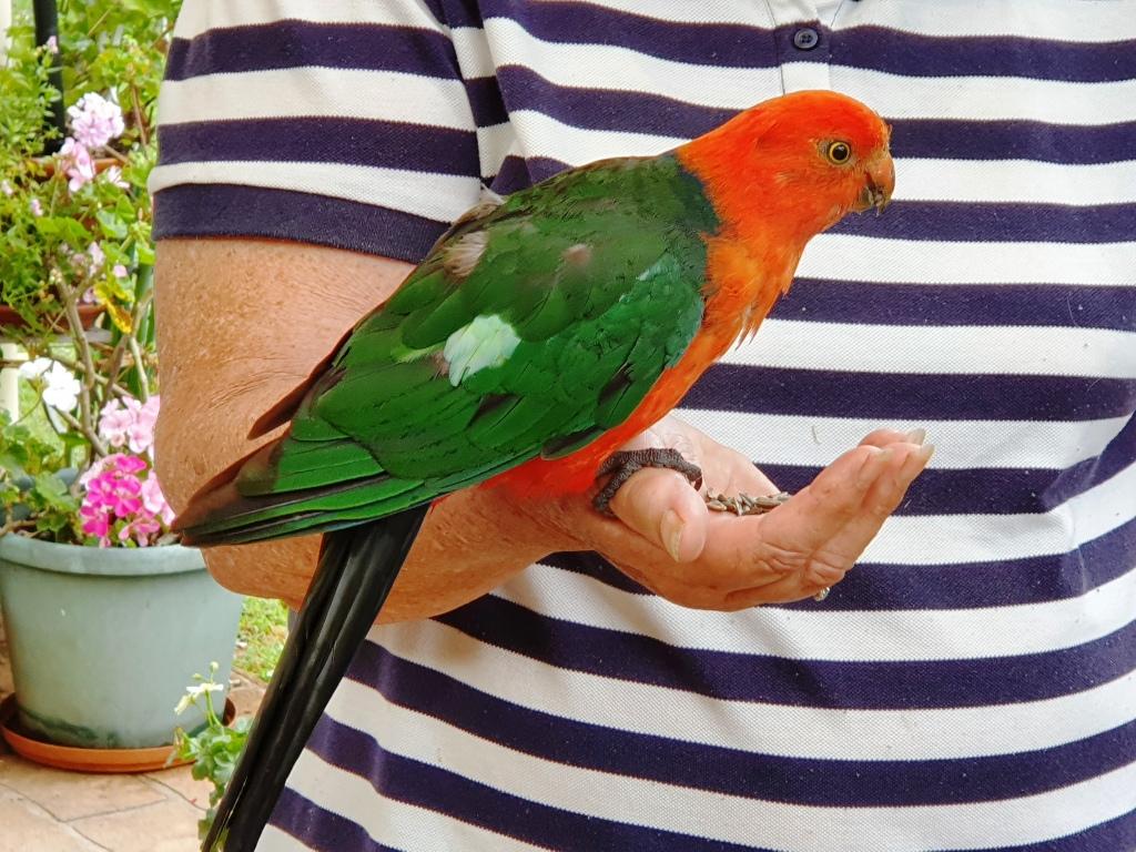
Not only is Jinny a keen gardener but loves birds. Local birds know it as a good place for a regular feed. The current favourite is a Crimson Rosella that sits on Jinny’s thumb and eats out of the palm of her hand. Kookaburras call and laugh and other Australian native birds in the vicinity drop in.
For a couple of days we had been watching wet weather approach from the south. As we departed Bowral on that Saturday morning, it was clear that we were heading towards the front of the change. We reached Goulburn in slight drizzle. After coffee we took the Crookwell Road to the north, heading for a lunch stop at Bathurst. Beyond Crookwell the road passes through several kilometres of mountains, resulting in steep winding roads. It was on this section of road that the weather caught up with us. Heavy rain and gusty winds added to the challenge but there was not much other traffic.
Approaching Bathurst, we attempted to take a drive around the Mount Panorama circuit. It was not to be. From the foot of the serious mountains until the outskirts of Bathurst, road side signs warned of cycling activity in the area. We discovered that the centre for this Lycra clad event was the straight and buildings of the Mount Panorama racing circuit. Spectators were driving into parking areas and barriers protracted the track.
From Bathurst we drove through intermittent rain to Orange, Wellington and finally Dubbo, where we spent the night. The next day we followed the Newell Highway to Coonabarabran where we turned for Gunnedah. We enjoyed views of lush green Western Plains, so different to the drought conditions of recent trips. The grasshopper plague, part of which spread itself over the front of the car, was less welcome. We progressed under sunny skies having temporarily left the rain behind. It really was a pleasant drive. Morning coffee was taken at Coonabarabran and lunch at Gunnedah.

We joined the New England Highway at Moonbi after skirting to the north of Tamworth. This is quite a good alternative if you want to avoid Tamworth and interesting scenery, as the road runs through the collection of huge boulders known as the Moonbi Gap. A short side trip took us to the summit of Moonbi Hill. From there we drove to Armidale for the night.
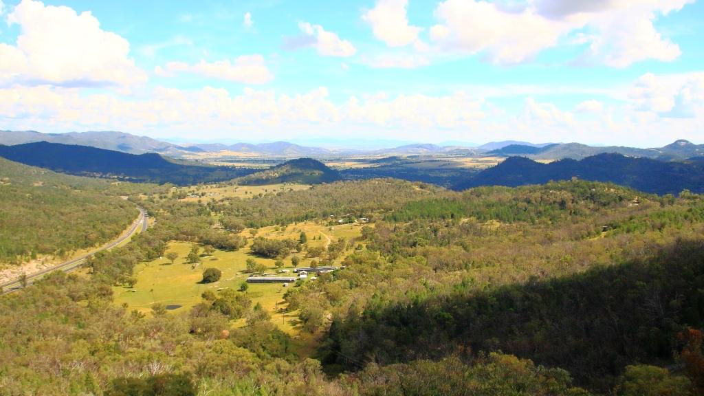
Sunday 14th April dawned in Armidale with blue skies overhead but heavy cloud to the south west. We could have kept to the New England Highway by continuing north, but we figured that we could make it along the Waterfall Way and check out the area after recent rain, before more rain fell. So off we went.
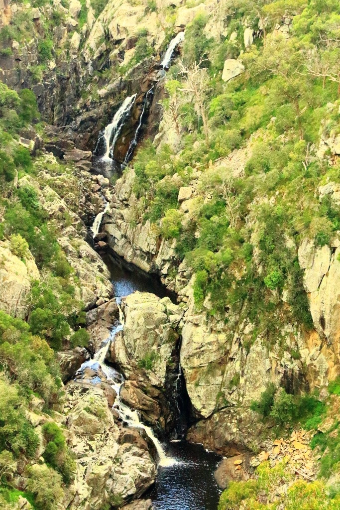
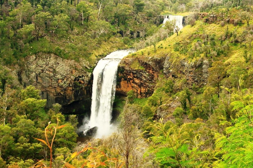
There is a lot to see along this road but we stuck to waterfalls. The first call was at falls that we had not previously visited. About 20 km east of Armidale you turn to the right into Old Hillgrove Road, which starts as a narrow sealed road but quickly changes to corrugated gravel. The road leads down a hill, over an old wooden bridge over Bakers Creek and up the other side to a small car park hidden behind trees. A rough bush path leads to a surprisingly elaborate timber viewing platform that provides good views of the falls. It is a good spot and worth the roughish road.

From Bakers Creek Fall you can continue on Old Hillgrove Road to the historic mining town of Hillgrove, returning to the Waterfall Way via Stockton Road, that is now the main access to Hillgrove. We retraced our steps to Waterfall Way, having visited Hillgrove on a previous journey.
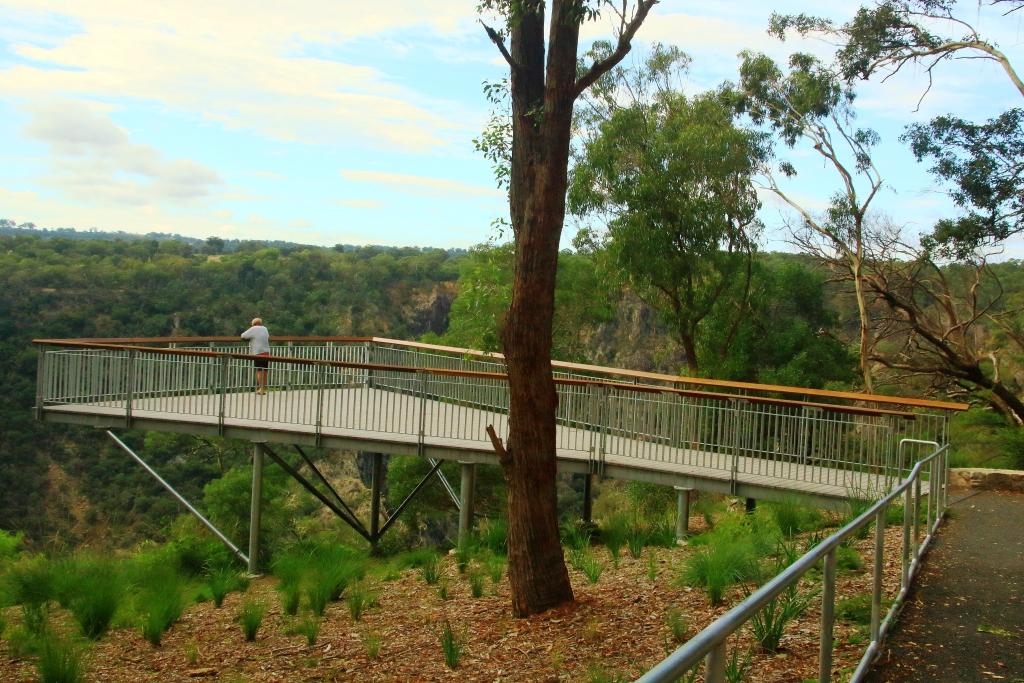
Next up was the Wollomombi Falls. Just a few kilometres along the Waterfall Way the turn again is to the right. A sealed road leads for about a kilometre, through a farm, into the Oxley Wild Rivers National Park. It is then only a few hundred metres to the day visitors’ area located on the edge of the gorge. The falls can be viewed through the trees at the edge of the picnic area, but a better view is had by taking a short walk to a commodious viewing platform.
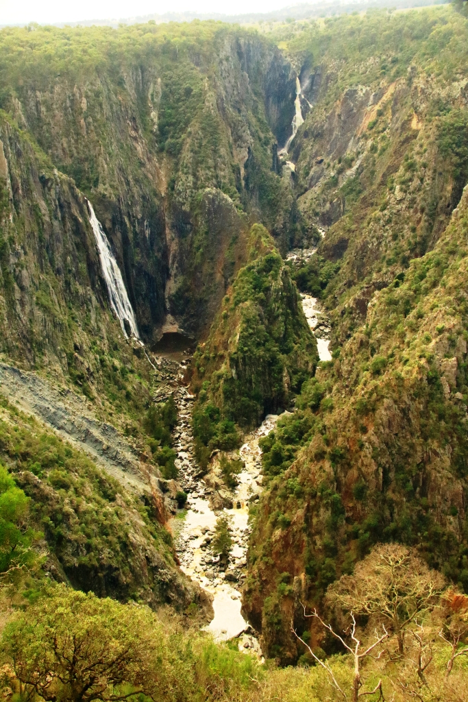
The falls, which are on the Wollomombi River, are a spectacular 150 to 230 metre drop into Wollomombi Gorge. The elevation of the top of the falls above sea level is 907 meters.
At our last visit there was no water at all so it was great to see the falls flowing. Just downstream of the falls the Wollomombi River joins the Chandler River which empty into other rivers until the water reaches the Macleay River which flows through Kempsey and enters the Pacific Ocean at South West Rocks.

Not far along the highway, a turn to the left leads over a rise to the village of Wollomombi, where the general store provided acceptable coffee and with morning nibbles or lunch. It was too early for lunch so we nibbled with our coffee.
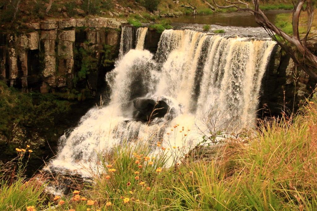
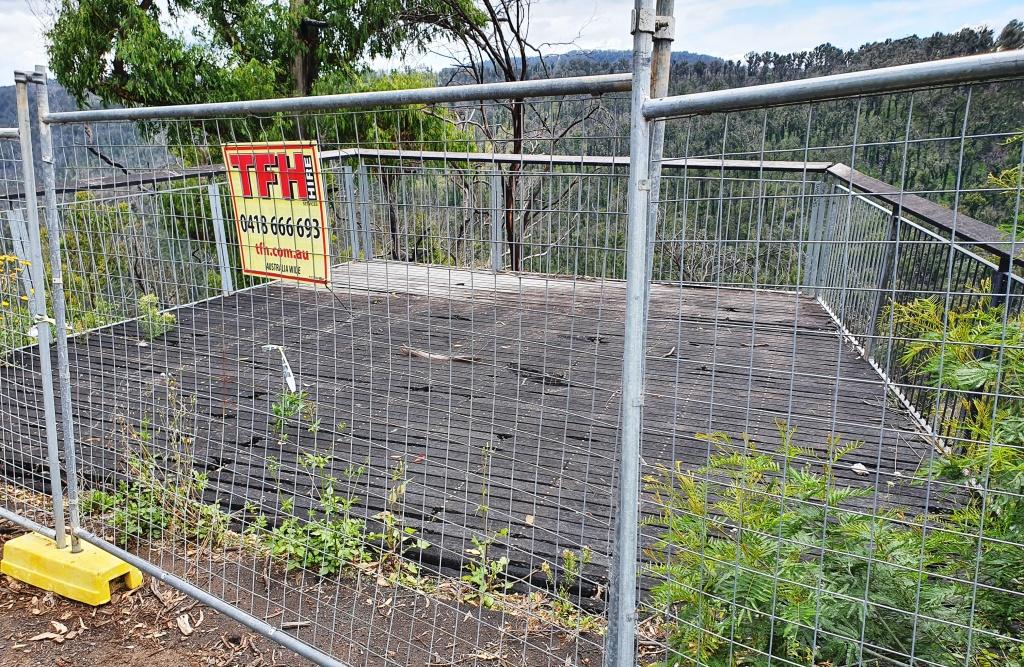
Ebor is the next waterfall stop along the road but to get there you pass the turn on the right that leads to the magnificent views of Point Lookout and a trout hatchery that offers smoked trout. Today the views would probably be of clouds and fog. On the left you pass the Cathedral Rock National park and the road to Guyra. Ebor falls are to the left before you reach the town. Views of the cascades in this impressive river are unfortunately marred by wire mesh barricades. As is so often the case, NSW authorities find it easier to erect a fence instead of maintaining tourist facilities. This is a very odd approach at a time when they are spending big on advertising programs to entice tourists to holiday in their own state. But we don’t do public tourist facility maintenance very well anywhere in Australia.

From Ebor we drove the undulating plateaux to Dorrigo where we headed to the Canopy Café at the Dorrigo National Park, for lunch. We took the mandatory walk along the Skywalk Lookout before returning to the car. As we returned to the highway the first sprinkles hit the windscreen but the deluge waited until we had descended the mountain to Urunga before it started. By the time we reached Coffs Harbour almost all of the deceased grasshoppers that had spread themselves over the front of the car were washed away.
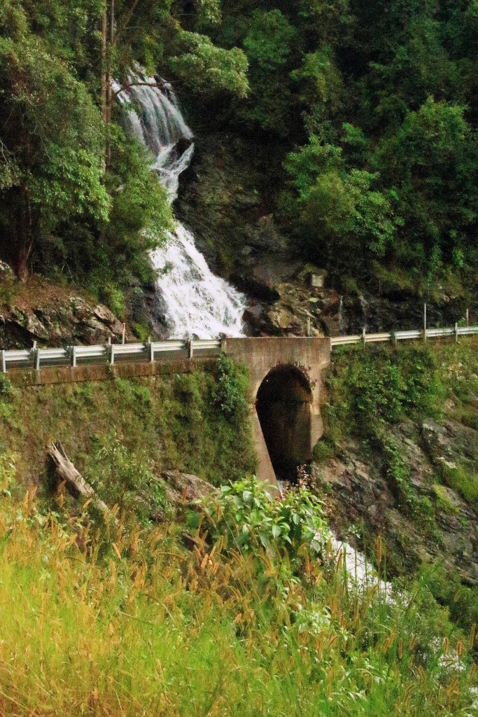
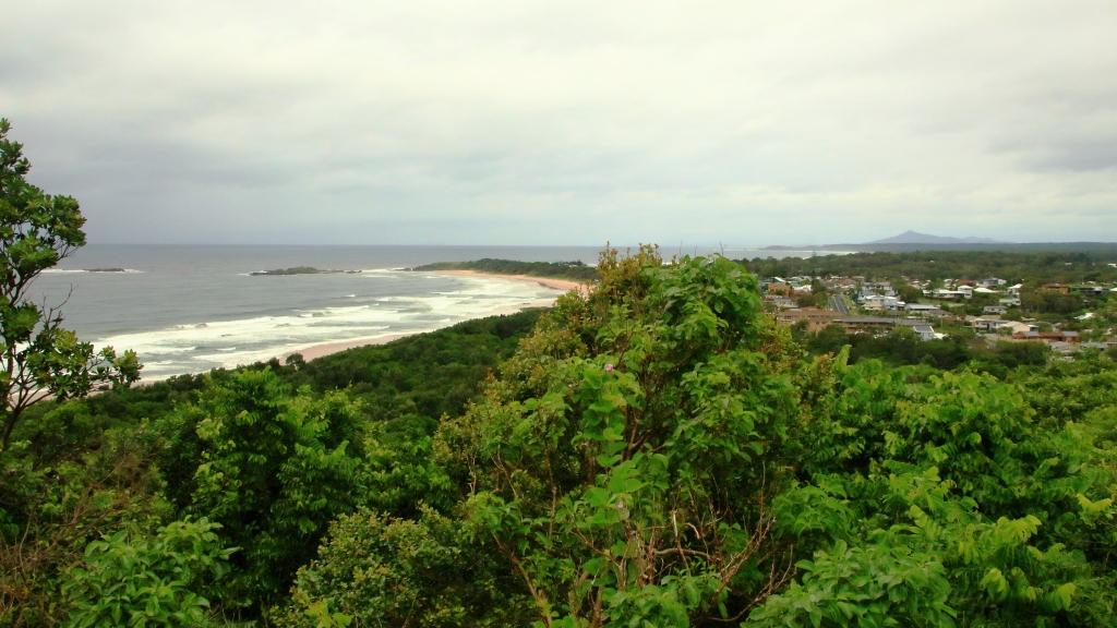
We stayed two nights at Coffs, in a small apartment a little to the north of the main area, with glimpses of the ocean. The heavy rain experienced over night withdrew sufficiently for us to visit the lookout on the mountain behind Coffs Harbour and to drive to Sawtell where we had lunch in a pleasant cafe in the main street. We checked out the observation points in the area before returning north along the road nearest the coast. Just a quick look in at the harbour area and back to the unit as the rain became serious again.
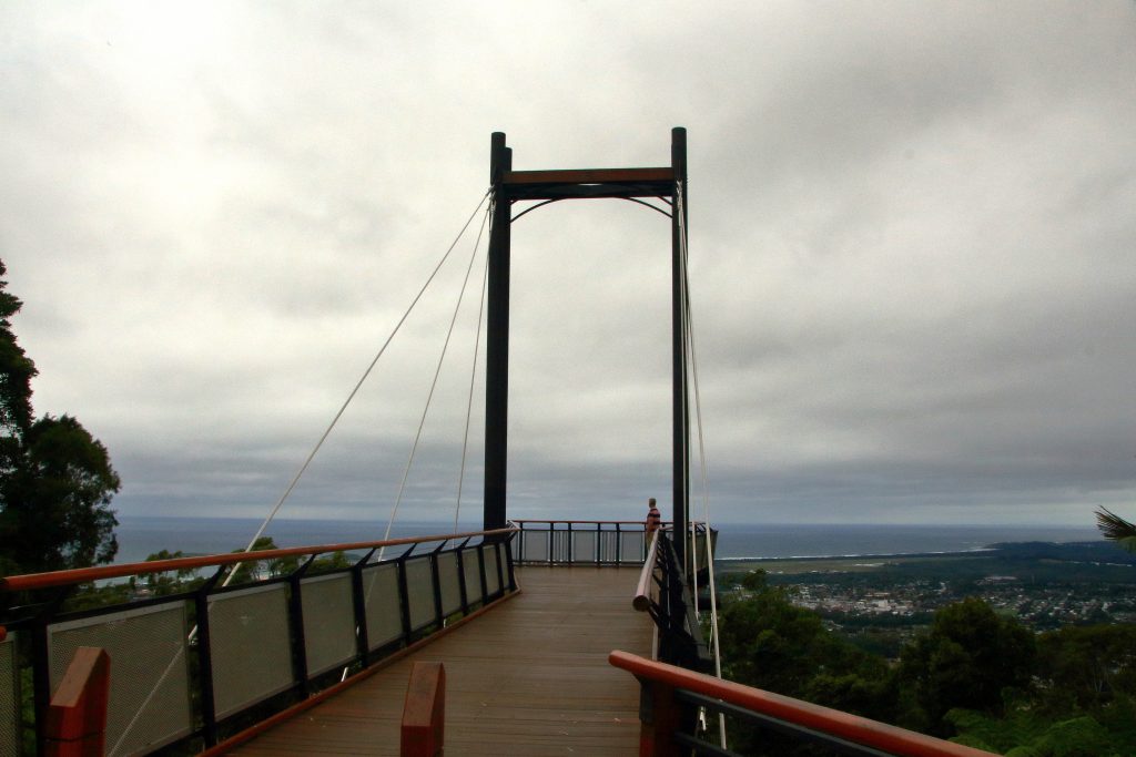
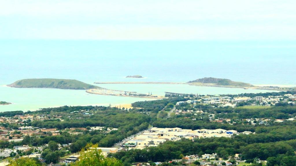
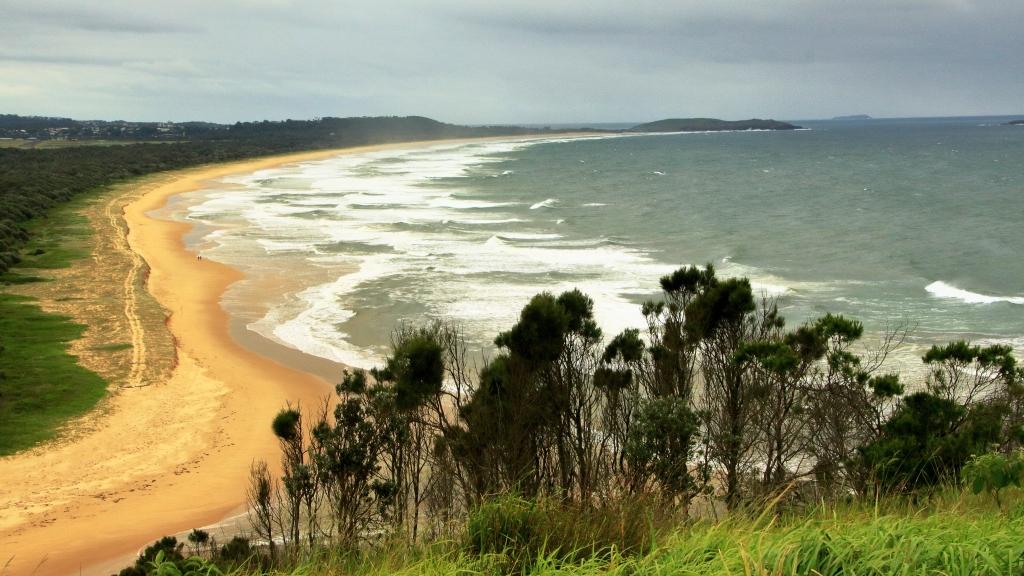
The trip ended with the drive home from Coffs Harbour the next day. We had been away for exactly two weeks.

