Sydney & Blue Mountains – Katoomba, Blackheath & Home

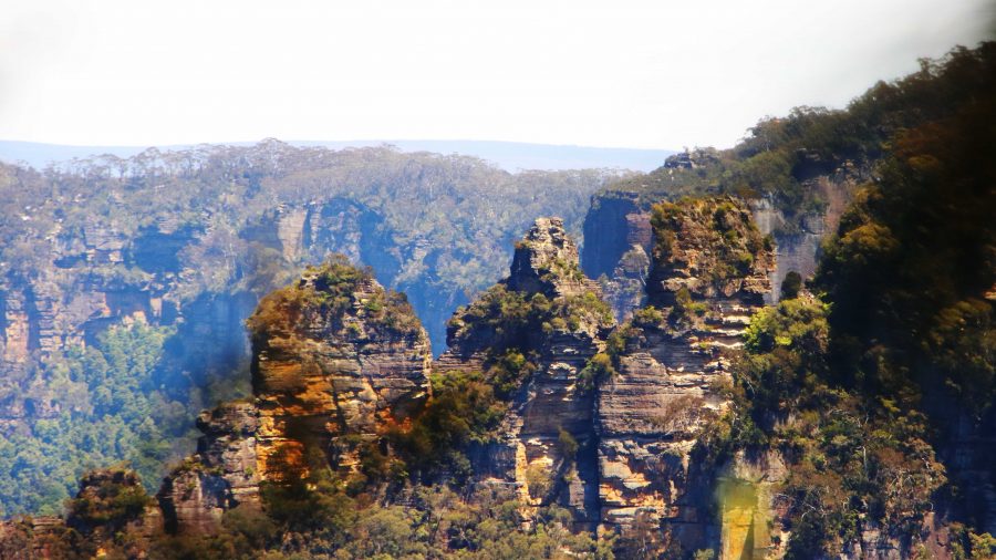
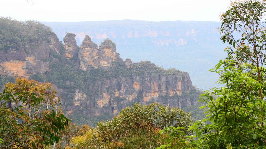
The Three Sisters were a bit further away than yesterday.

Wednesday was a day out of the tourist brochure, but Thursday dawned with total cloud cover. Happily, rain held off until about 3.00 PM. Aileen had had another bad night with her back and needed the services of another chiropractor. She found an appointment in Blackheath at mid-day. That left us with a morning to fill in.
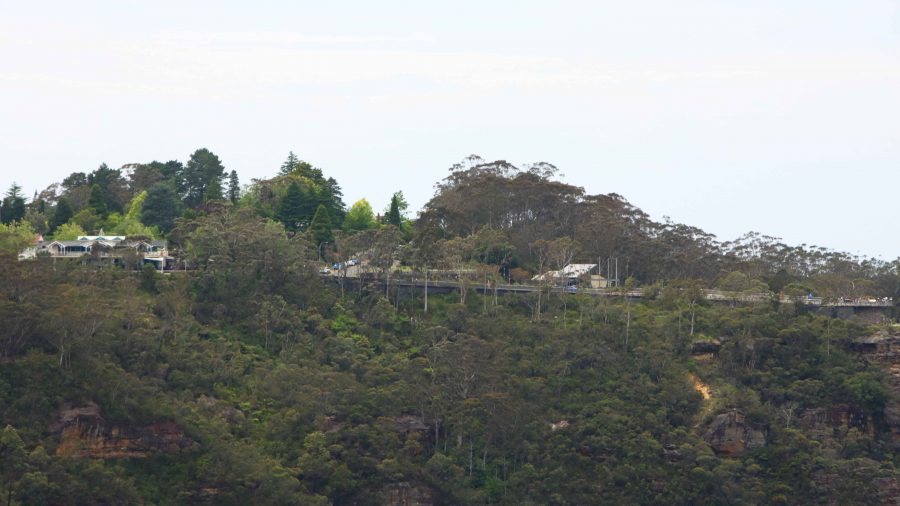
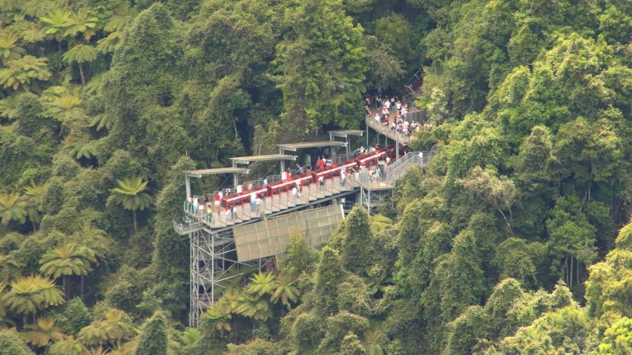
Scenic World is high on the cliff edge.

We returned to Katoomba to drive some of the cliff top roads that provide views to the Jameson Valley. It was more of the same from the two previous days, but Blue Mountain scenery can stand some repeats. We stopped at a couple of lookouts, but the heavy cloud meant that the colours were subdued and nowhere near their best.
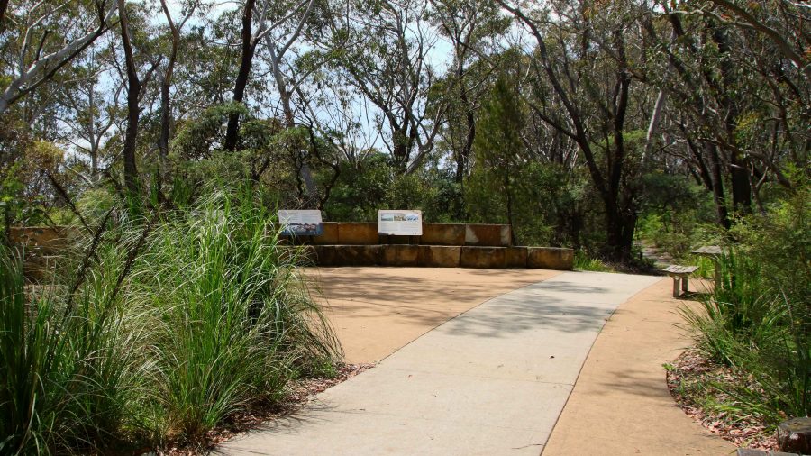
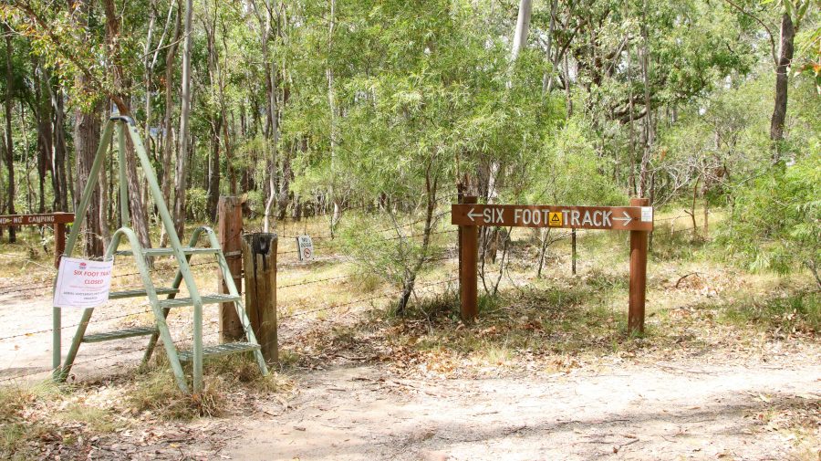
The Six Foot Track start.

For some older scenery we returned to the old site of Explorers Tree and confirmed that the rellick was no longer there. But on the other hand we did discover the Katoomba end of The Six Foot Track. It now begins at an eco-cultural plaza, I guess you would call it, with history and Aboriginal culture sharing prominence. The quality of the trail head path does not continue very far.
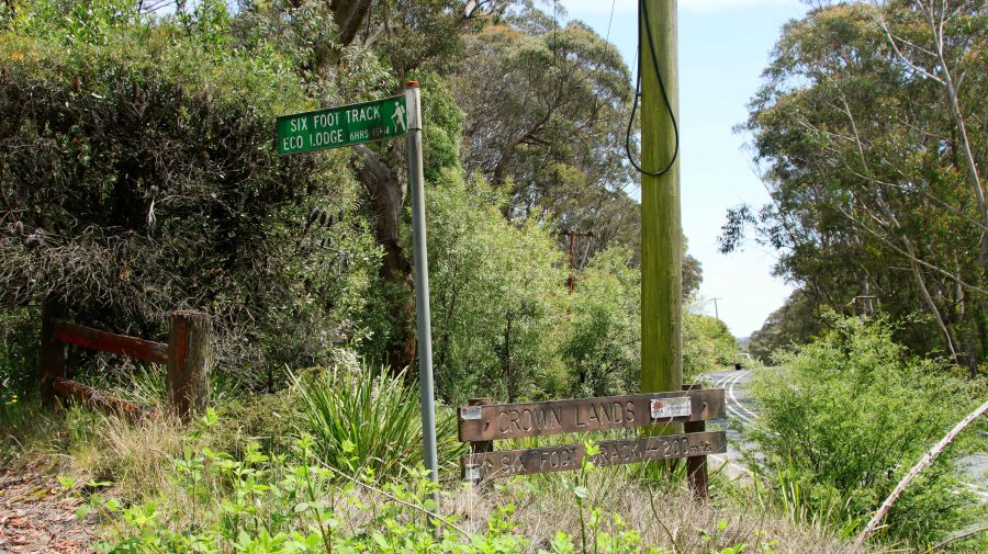
The former site of the Explorers Tree.

We returned to Blackheath for Aileen to subject herself to another pummelling. Then lunch at a gourmet sandwich shop in the main street of Blackheath. Different and very tasty.

Sadly, this is where my photos of the Blue Mountains end. I took some shots at Mount Wilson and on the way down the mountain to Lithgow but they are not on my camera or phone. It is a mystery.
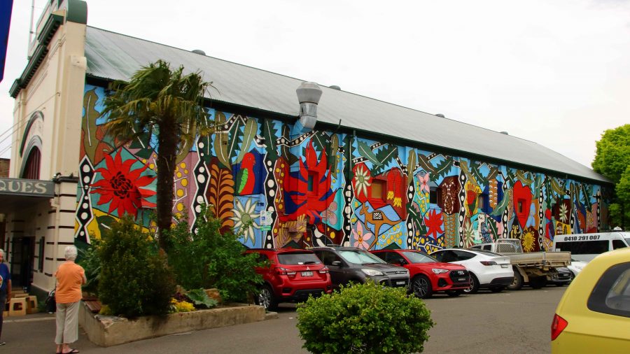
A mural on the old theatre in Blackheath.

We still had an afternoon to fill. The last time that Ruth and had driven west to east over the Blue Mountains we had used the Bells Line of Road, the main link between Lithgow and Richmond on the Nepean River. I had noticed a turn to the left east of the small town of Bell, to Mount Wilson.  This small town became our destination.

From Blackheath we had a 32 km drive, the last 10 km or so on winding mountain roads. We found that we were in an area not unlike some of the less developed parts of the Dandenong Ranges in Victoria. The area is elevated with roads leading to large acreages blocks containing substantial houses with extensive gardens.
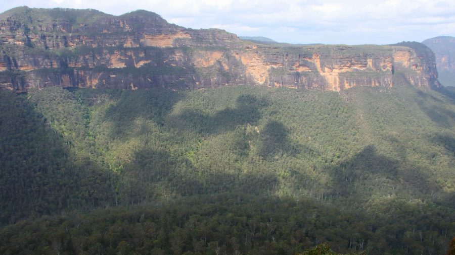
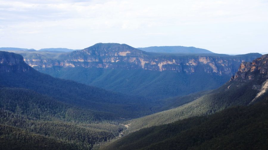
Another view into the Grosse Valley

There is a small commercial centre but no one was there. The area offers a number of walks but it would require a much better day to entice me onto any of them. At least we now know what is there.

Returning to Bell, we continued on towards Lithgow, hoping to take a look at the Zig Zag Railway, the heritage listed original railway that climbed the mountain from Lithgow. When I planned the trip, a ride on the railway was to have been on our itinerary, until I discovered that the train only operated on Friday to Monday. Rain had started by the time we reached Clarence Station, the top station of the Zig Zag Railway, so we drove past.
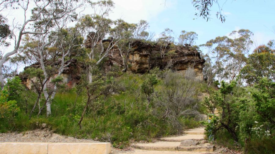
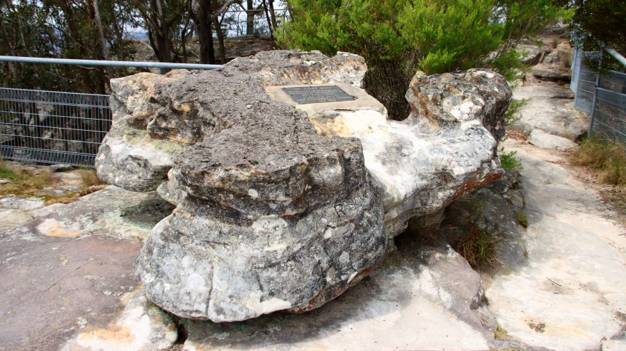
Anvil Rock

To cover new territory, we continued down the mountain to Lithgow, returning to Blackheath via Hartley and the Mount Victoria Pass. Beside the highway, we could see the new road being constructed, towards the base of the mountain where the tunnel will start.

Each time we drove to or from Katoomba we passed, in Blackheath main street, the Blackheath fish and chip shop. We subsequently discovered that the shop had opened about a year after Ruth and I had honeymooned in Katoomba. So, when dinner time approach Bernard and I sallied forth and acquired four seafood boxes. They provided a very satisfactory meal.
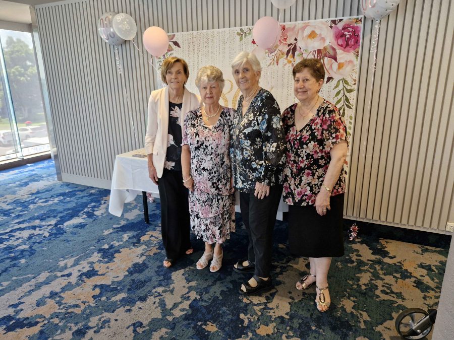
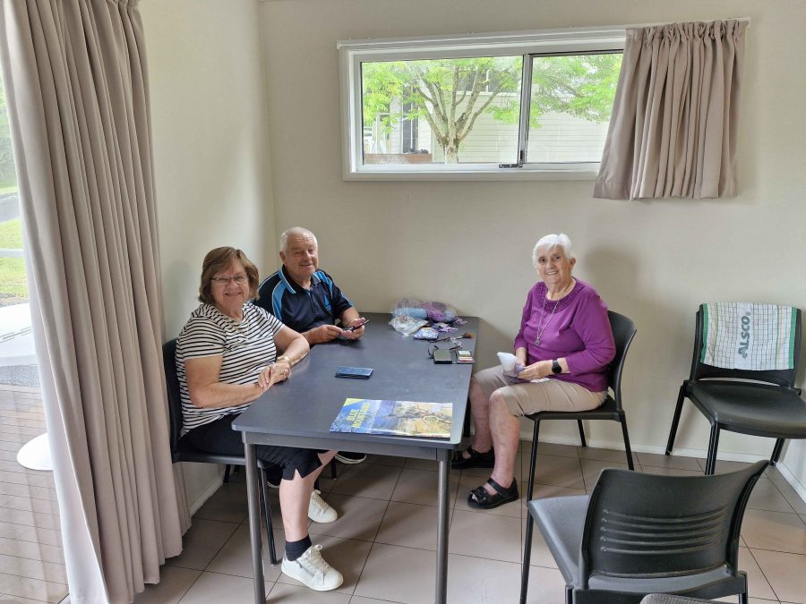
Thelma, Ruth flanked by old friends.

On Friday morning we were out of bed early as we all had a distance to cover before nightfall. We left Blackheath at around 8.30 AM, Aileen and Bernard bound for Cooma and Ruth and I for Coffs Harbour. It was a long day, but we used the tollway tunnel system to escape Sydney. Further north,we were interested to see the scope of the highway extensions under way to link the northern end of the Newcastle Bypass with the highway north of Raymond Terrace.
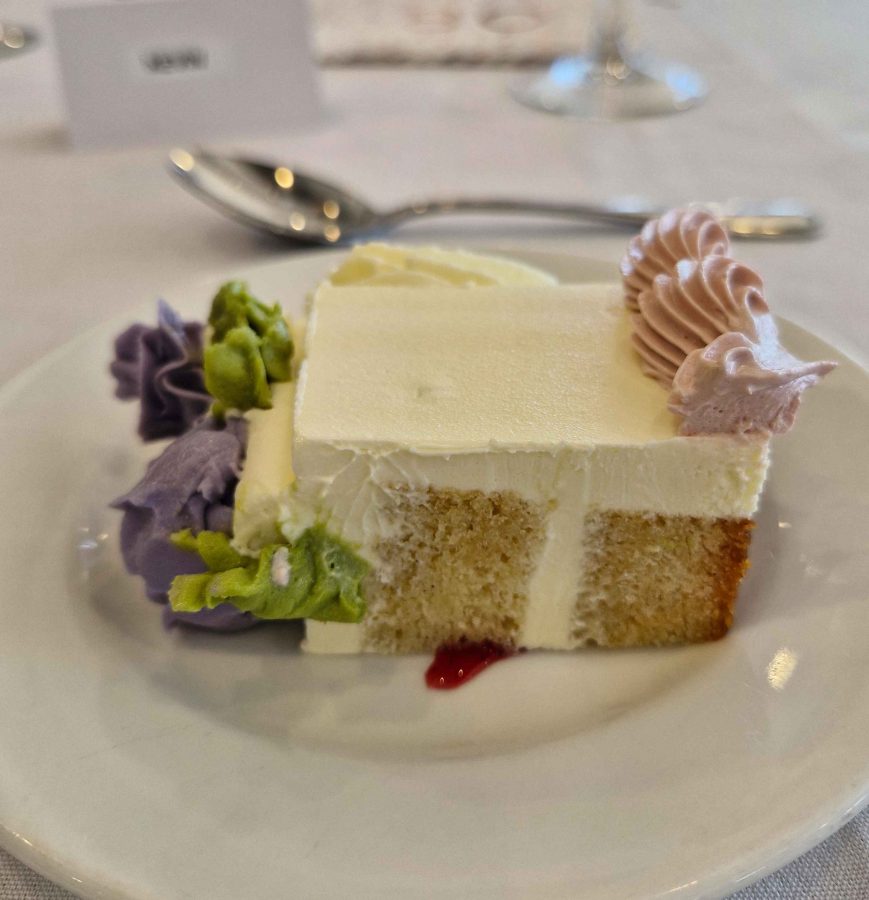
The birthday cake became desert.

A short drive on Saturday morning brought us to the RSL Club in Ballina and the eightieth birthday celebration that was the gneisses of the whole trip south. It was a successful event. We renewed acquaintances with folk from our days in Melbourne who we have not seen for a very long time.

Next morning, with the family of our new eighty-year-old, we enjoyed the views over Shelly Beach from a café, as we shared brunch with visitors who had come to Ballina for the celebration. Suitably refuelled, we climbed back into the car for the last three hours of our trip.

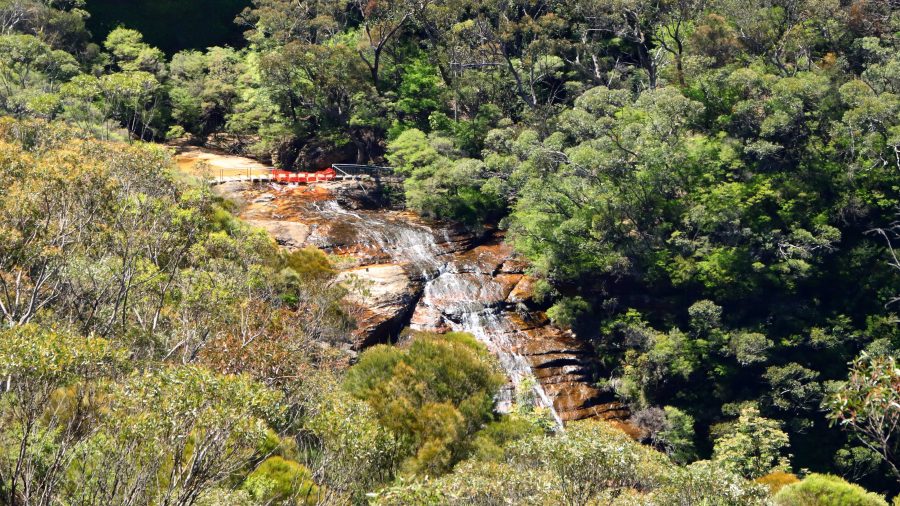
Sydney and The Blue Mountains – Lookouts and Gardens.

Aileen had hurt her back yesterday morning, of all things, putting her trousers on. Tuesday night had been a bad night for her, so the priority for Wednesday morning was to find a chiropractor. She located one in Katoomba, with an appointment just after lunch. That determined the direction in which our sightseeing lay that day, but it was not much different to what we had in mind.

Wentworth Falls

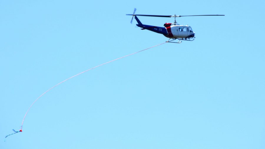
We started our tourist day at Wentworth Falls. As we approached the parking area for the walk to the viewing point we noticed smoke in the air, then spotted a helicopter with a water bucket underneath. Must only have been a small fire as the smoke reduced quickly but was still a bit of an obstacle to clear photos. Views into Jamieson Valley were good but when we moved along to the viewing Point for Wentworth Falls, the flow of water over the drop was a bit disappointing.

Sublime Point Lookout
The less seen side if Thr Three Sisters.
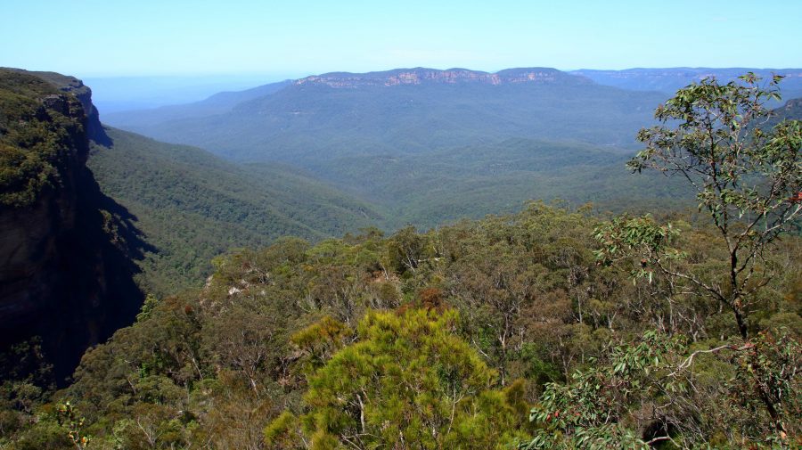
View into the Jamison Valley from Wentworth Falls

The next stop was Sublime Point, where we walked down to the top viewing area that gave us a view of the lower lookout. Sublime Point protrudes into Jamieson Valley further than any of the other promontories, so does provide a top vantage point. It also provides a view of the back of The Three Sisters.

Next in order was Leura and the Leura Cascades but most of the area was closed to the public with car parks sealed off with temporary gates.

By now it was nearing lunch time. We found a parking space under the library and took the lift up to a cafe on an upper level. The chiropractor was located just over the street. I walked Aileen over while Bernard and Ruth waited.

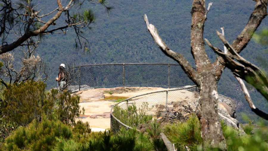
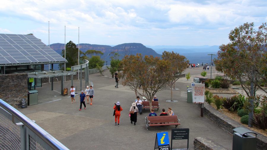
The viewing area at Echo Point
The fire control helicopter at Wentworth Falls. Note the bucket in the lower left hand corner.

Aileen felt better, so we continued our drive. As we were close to Echo Point we resumed there, taking in the views of mountains and valley and taking those mandatory photos. We went back to have another look at Leura Falls area but had no better luck. Finally we drove to Katoomba Falls. Again, there was not much flow in the stream and as it is quite a long walk out to the point where the water actually falls, we decided to give it a miss and move on.

That mandatory photo but I didn’t get the Sisters in the background.

The Jamison Valley terminal of the Scenic Railway.

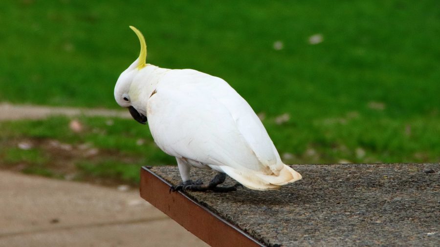
A Sulphur-crested Cockatoo at Katoomba Falls
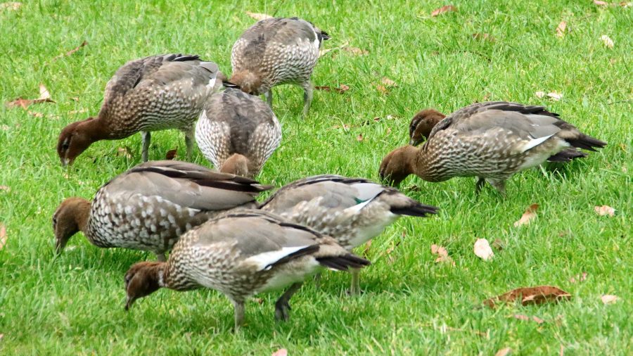
Heads down and eat. Wood Ducks also at Katoomba Falls.
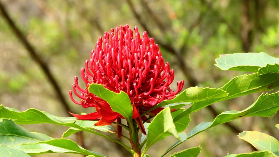
The Waratah, floral emblem of New South Wales.

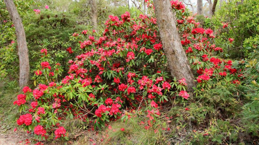
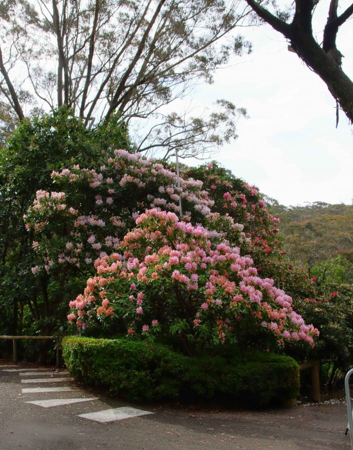
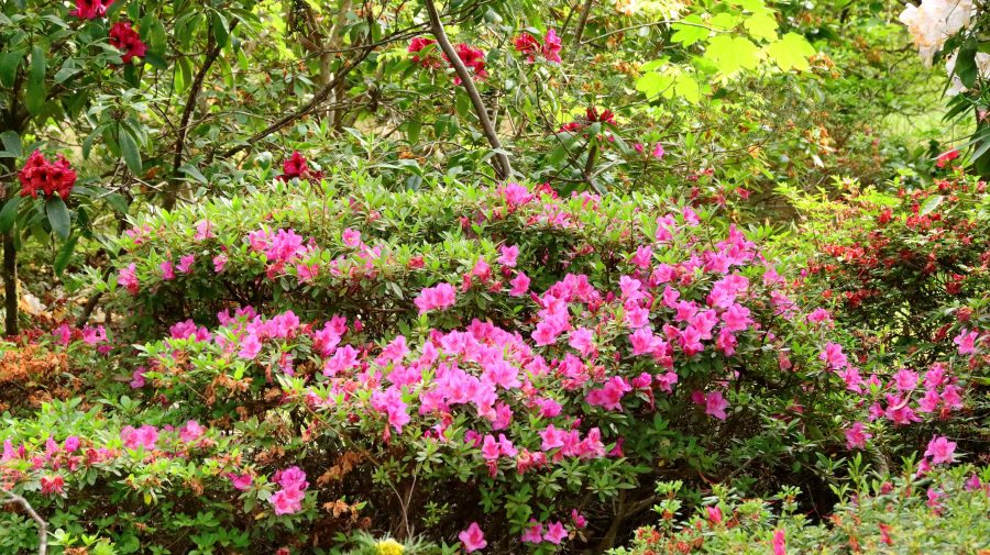
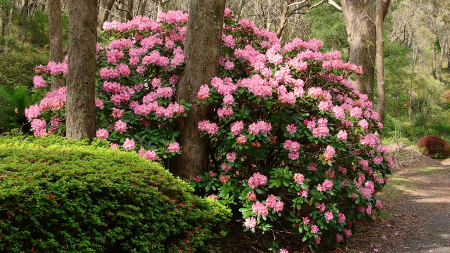
With the Katoomba area pretty much done, we returned to Blackheath to visit the Campbell Rhododendron Gardens. Rhododendrons grow well in the mountains with specimens of this family of shrubs adorning private gardens at evert turn. Despite the uniform floral theme, the gardens are worth a visit. Ruth and I previously visited about six years ago.

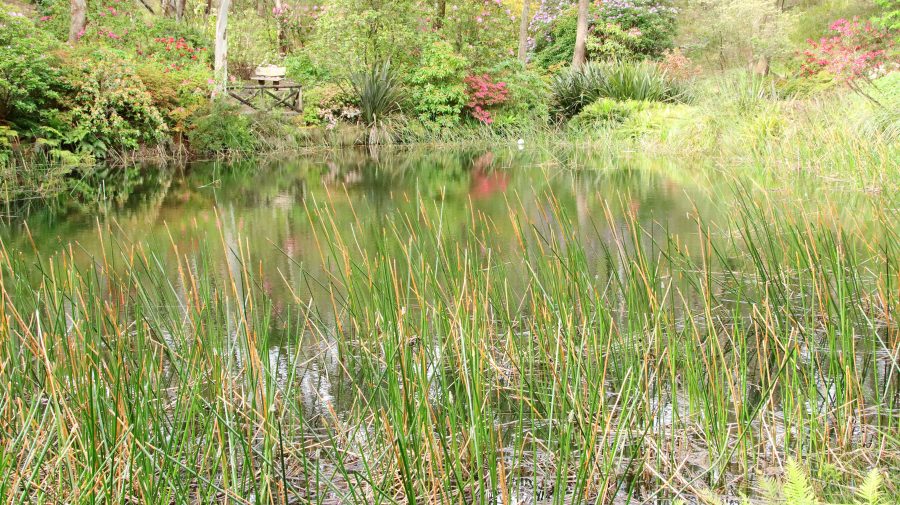
The gardens are spread over a timbered hillside with the blooms juxtaposed with native trees that provide natural shelter. A stream runs through the lower area with lagoons that provide reflections and a home for water birds. Sadly, many of the blooms were past their best but still provide a blaze of colour over the hillside. There is an entry fee of $5.

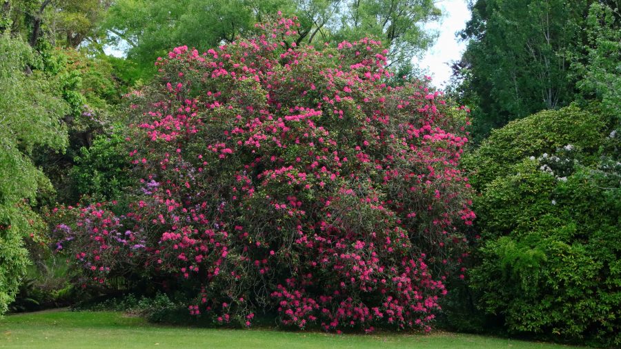
A Rhododendron in the gardens
A pool in the stream that runs through the lower levels of the gardens.
Evans Lookout and Grosas Valley

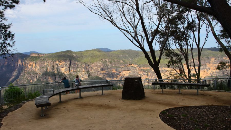
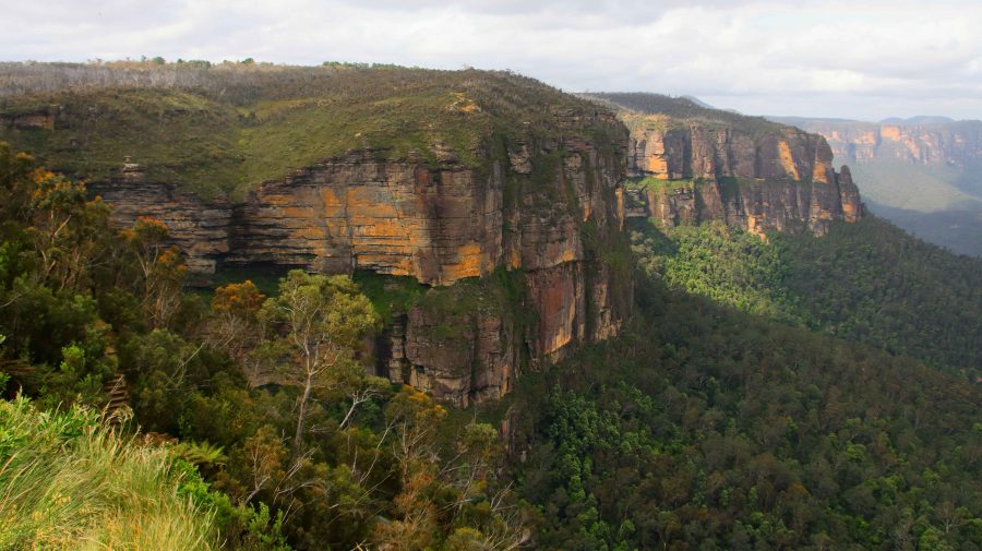
There is another verry good lookout in this area, just south of Blackheath. Evans Lookout provides views into the Gross Valley and of some of the best Sandstone cliffs in the area. It provides parking for one end of the Evans Lookout to Govetts Leap walk, a very popular walk through what is known as the Grand Canyon. This is a walk that I would have loved to do but I am afraid that time has passed me by.

A view over the Grosse Valley from Evans Lookout.

By this time Aileen was feeling the effects of the chiropractor’s pummelling so we returned to our cabin to rest and prepare for dinner. Bernard is a keen golfer so decided that we should patronise the Blackheath Golf Club for dinner. We had another pleasant meal and had the dining room almost to ourselves.

That was not, however, the end of our day. Aileen turned eighty on 28th November this year. We could not pass up the opportunity to celebrate. We had shouted her dinner and Ruth had purchased a birthday cake and candles. When we returned to our cabin we continued the birthday celebration with cake. The candles could not be lit because we did not have matches and it was too late to try to borrow some. We sang “Happy birthday” and talked.

Then bed time. That is always a great time of day at our age.

Sydney & Blue Mountains – In the Mountains

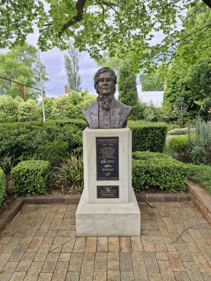
A statue to the memory of William Charles Wentworth in Wentworth Falls

Today is the day on which we meet Aileen and Bernard at Blackheath. They are arriving from an overnight stop at Cooma and Ruth and I from three nights at Cronulla.

With time to spare, we stuck to surface roads and left tunnels to the local commuters. We took a rest break at the large Penrith shopping centre, to purchase some necessary supplies and enjoy morning coffee. We proceeded via the old Great Western Highway, crossing the Nepean River on the old bridge and re-joining the new freeway at Blaxland.

The four-lane highway now reaches west of Katoomba and is kept clear of local traffic to some degree by service roads. That can make finding somewhere to pull off a bit more difficult. We did a bit of backtracking but finally found a cafe in the main street of Wentworth Falls for lunch. It was located in the old Wentworth post-office building and offered a pleasant environment for a break. We understand towns that have lost their post-office. We have lost our PO at Redcliffe, too.

We arrived at our lodgings at about 2.00 PM with our rellies arriving about thirty minutes later. Our cabin was on the side of a hill, giving us views over the park. We soon were settled in with a cuppa. I took a walk with my camera as the evening approached. We adjourned to a local pub for dinner.

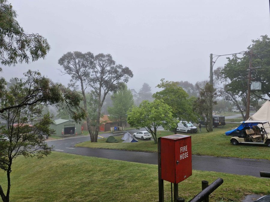
This photo understates the density of the fog.
Waiting for the fog to clear.
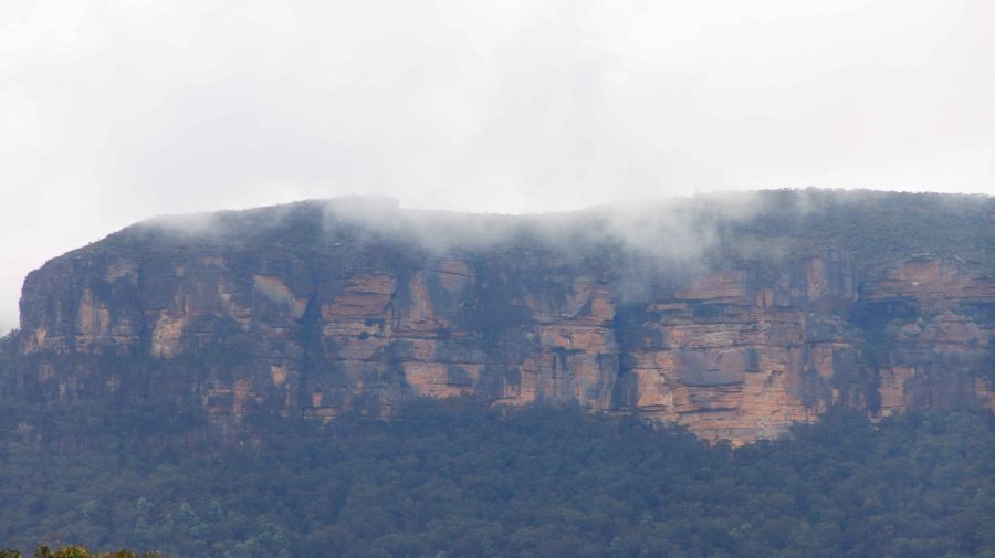
Fog rising from the escarpment. These cliffs are near Medlow Bath.

Tuesday dawned fog bound. It finally lifted at about 10.00 AM so we set off to explore. Govetts Leap with its views into the Gross Valley was just down the road from our cabin so we started there. As expected, it was still fog bound. So we set off for lower country, returning to Blackheath and making our way down the steep narrow road to Megalong Valley. And is was particularly narrow as several hundred meters of half of the road had slidden down the hill during recent heavy rain. A weight limit was in place that would impact larger vehicles.

Trees in bloom were everywhere. This one was over the road from the caravan park.

Our drive took us past the tea house, primary school and Megalong Creek to the point where the Six Foot Track crosses Megalong Road. During the period since we last visited, a couple of wineries and an eco lodge have been established.

The Six Foot Track was closed for pest eradication so there was no walkers. This track was built to provide access for passenger carrying horses transporting tourists from Katoomba to Jenolan Caves in the early days. The track is 42 km long and provides the running track for an annual marathon. It can be walked in about three days. Two if you hurry. It’s name is drawn from the original specification that required it to be built at least six feet wide to allow two loaded horses to pass.

The Six Foot Track where it crosses the Megalong Valley Road.
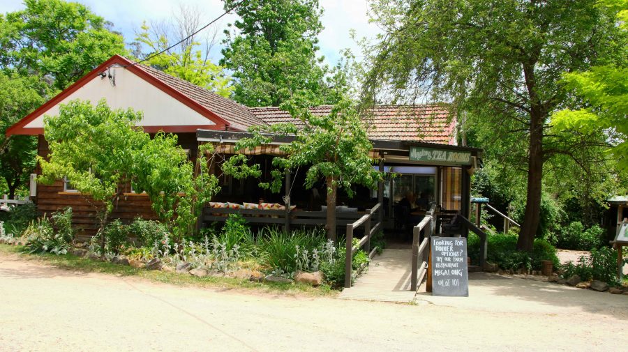
Megalong Valley Tea Rooms serves good coffee and food.

The Megalong Valley Tea House was our lunch destination and provided acceptable food and coffee. Or tea for Bernard. There were a few flies about and cicadas serenaded us from the trees, leaving us in no doubt that we were in the bush.

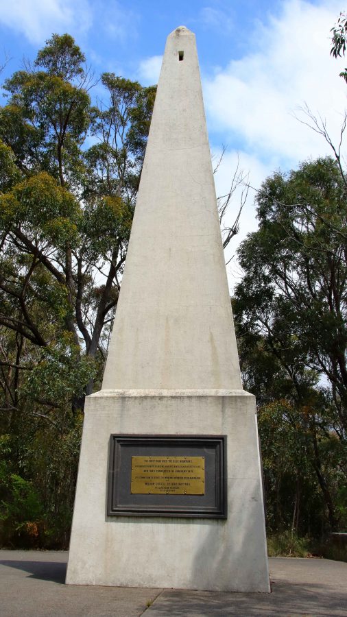
The memorial to the Blue Mountain Crossing. Each of its sides tell part of the story.

With a full afternoon ahead of us we drove first to Mount Victoria and then Mount York. Mount Victoria is on the Great Western Highway, just before it plunges down Mount Victoria Pass through Hartley. However the best views to the west are to be seen from Mount York, just 5.5 km along Mount York Road to the north west.

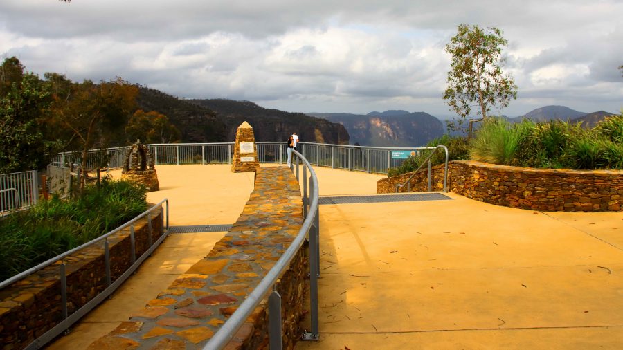
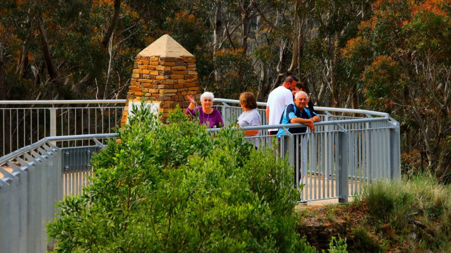
Mount York has a number of monuments to exploration, plus a parking and camping area. There are many mountain tracks and rock climbs in the area. Through a stone archway is a pointed rectangular based monument that commutates, among other things, the first crossing of the Blue Mountains.

Along another track is a fenced lookout and Eddy Rock. Eddy Rock is a memorial to Commissioner Eddy who was in charge of NSW Railways when the railway was extended from Sydney to beyond the mountains. The views from Eddy Rock are spectacular and reach from Hartley, over Cox’s River towards Lithgow. Much green grass and acreage living.

Part of the view from Mount York, towards Lithgow. The access lanes to the Mount Victoria tunnel are in the upper left of the photo.
Eddy Rock, the memorial to the NSW Railway Commissioner.

I had read reports of a tunnel to built to provide a less steep road from the west to the top of the Blue Mountains. We had seen significant road works at Medlow Bath. Standing on the lookout at Mount York we could see extensive road duplication approaching the steep mountain side where the Great Western Highway starts its climb. Some research provided the information that a tunnel is under construction. It will steadily climb from the west and join the current highway between Blackheath and Medlow Bath.

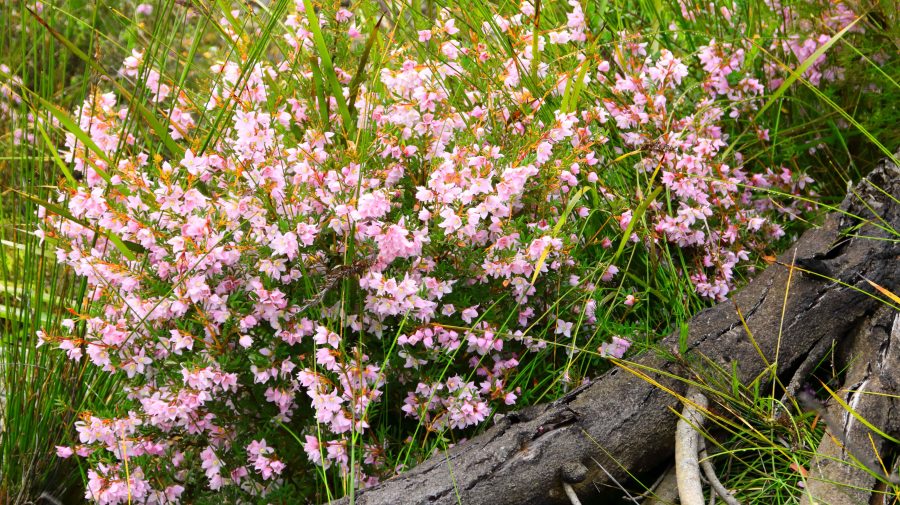
Boronia blooms at Anvil Rock carpark.

From Mount York we worked our way back to Blackheath via various lookouts including Anvil Rock, Perry Lookdown and finally Govetts Leap Lookout.

There was a good wildflower display at Anvil Rock car park and Perry Lookdown provided more views of the Gross Valley. I think it is called a lookdown because of the views that it provides of the forest on the valley floor.

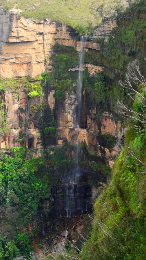
Bridal Veil Falls at Govetts Leap.

Govetts Leap is very popular as the size of the parking and viewing area suggests. It is said to have gained its name when a government surveyor named Govett jumped his horse over a cliff side fence, landing on a narrow ledge between the fence and a sheer drop of several hundred metres.

Govetts Leap Lookout provides excellent views into the Gross Valley and of the mountain ranges that form it. There are many broad expanses of Sandstone that reflects the sun’s rays on a sunny day. The lookout also provides stunning views of Bridal Veil Falls that drop 180 meters from a stream on the plateau to the valley floor. The water flow was not great but the sheer drop makes up for that. We have seen these falls with more water flowing and they look great. There are several walks in the area, some of them involving many hundreds of steps. Down and then back up!

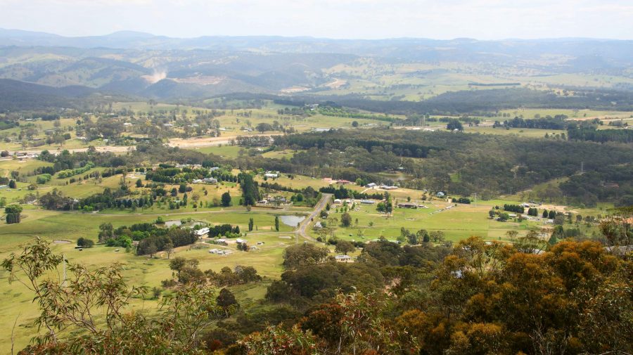
The mountains viewed from Govetts Leap across the Grosse Valley.
An almost deserted Govetts Leap Lookout.
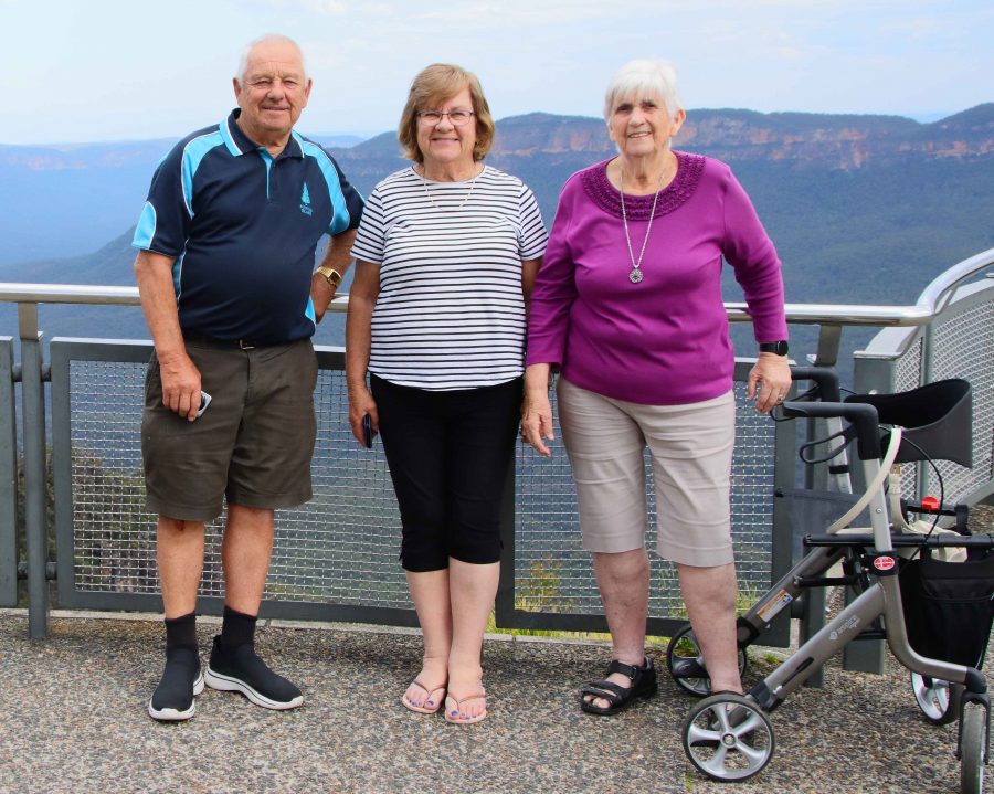
Ruth, Aileen and Bernard looking out from Govetts Leap.

We returned to the cabin to prepare for the evening. Bernard, a keen golfer, suggested the golf club. We enjoyed a very good meal, but almost had the club dining room to ourselves.

But the day was not quite over. On 28th November Aileen will turn 80. We could not let the event pass without celebrating, so we bought a birthday cake and some candles. We returned to the cabin after dinner to cut the cake and sing “Happy Birthday” but found that we had no matches to light the candles. Undaunted, the candles remained unlit and we dealt with most of the cake. finishing the task with coffee next morning.

Destination Tasmania – Part 16 – Southern NSW, Canberra and Home

14th to 18th March 2020

Please note: A link to a video covering material included in this blog post can be found at the bottom of the post.

We awoke to a view over Lake Hume and a chilly morning with blue skies. Great touring weather but the tour is almost over.

The plan had been to stay at Corryong or Khancoban the previous night and drive the Alpine Way to Jindabyne that day But we had not reckoned with the Bush Fire Relief Fun Day to be held that day in Corryong, or the weather. There was not a bed to be had in that area so we ended up at Hume Weir, as reported in the previous post. And despite our clear morning the forecast for Thredbo was snow above 1,400 metres, rain and temperatures ranging from zero to 6C. The chill wind was a north easterly, blowing from where we had intended to be. It felt as if the snow was already falling.

So we started the day by taking a look at the Hume Dam retaining wall and floodgates (pictured in the previous day’s post). The floodgates don’t appear to have been used recently. Then, rather than spend the day with the tedium of a four lane highway all the way, we added a side trip.

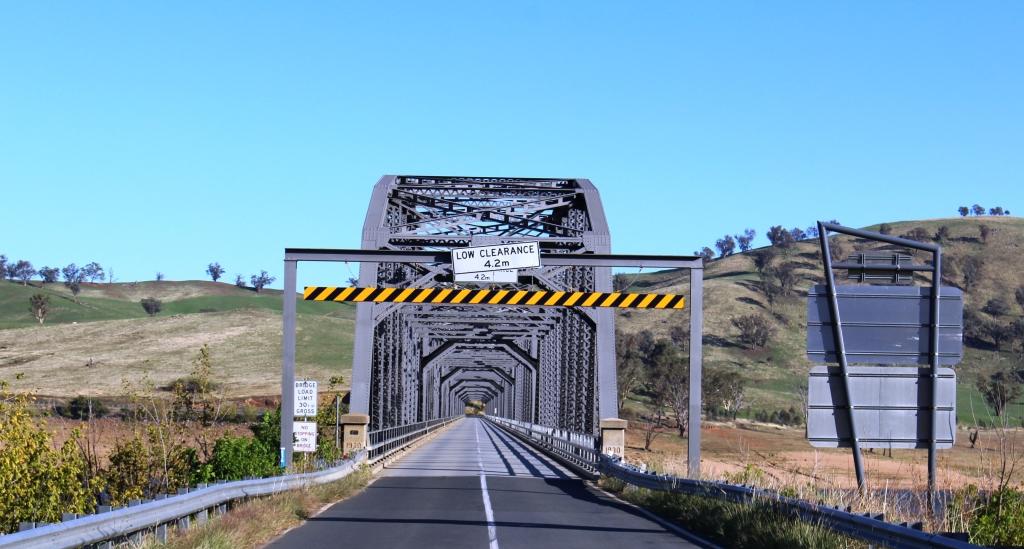
The bridge over the Murray River at Bellbridge, Victoria

We crossed the Murray River proper over a rather magnificent iron bridge just north of the dam, back into Victoria, at the small town of Bellbridge. The road that we had travelled the previous day followed the inlets on the south side of southern arm of Lake Hume that swing back into Victoria, the inlets created by streams flowing in from the south. Today we followed the NSW/Victorian border, which is the southern bank of the Murray, initially following the south bank of the northern arm of the lake and then driving mostly within sight of the stream.

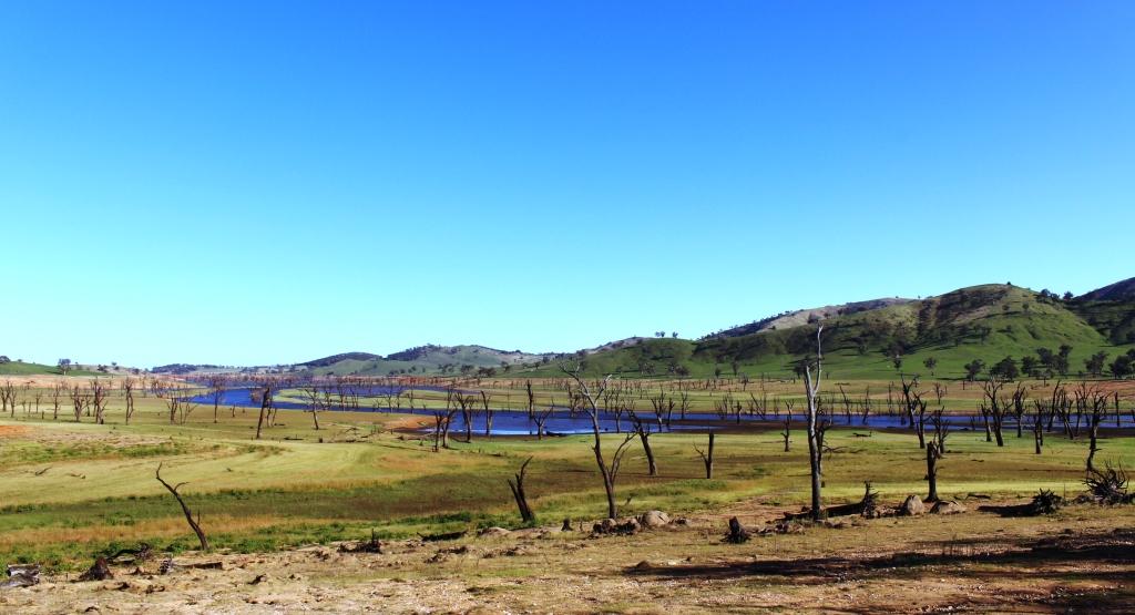
Trees that have died while inundated by the waters of Lake Hume now line the banks of the clearly defined original stream.

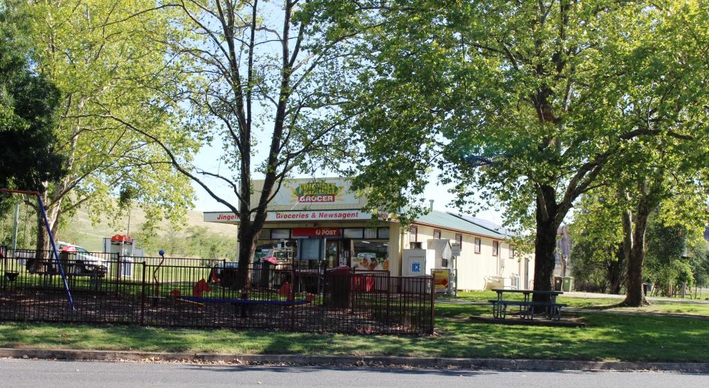
After 95 km we crossed the Murray at Jingellic, pausing there for coffee. It is a place that I had wanted to see, after passing signs on the Hume Highway that point towards it, for the better part of 60 years.

There is not much to the town. It has just a few houses, a general store, a show grounds that double as a low cost caravan park and a pub. We missed the pub. It was down a side road out of sight.

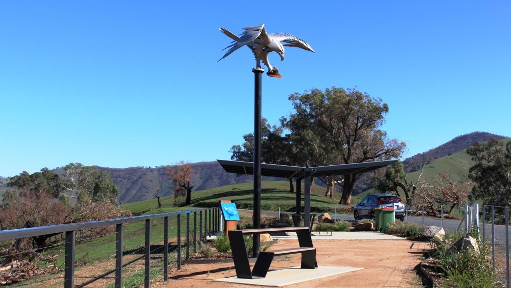
Mount Alfred Gap Lookout rests on a summit on the Victorian side of the border with NSW, provides picnic facilities and a view of the Murray valley. And a fine sculpture of a Wedge tailed eagle.

The countryside is beautifully green with mobs of cattle, mostly dairy cows, grazing on the lushness. Periodically, we came upon caravans parked right on the river bank. We passed the last of the backed up water well before we reached the point to which the water had backed in earlier days.

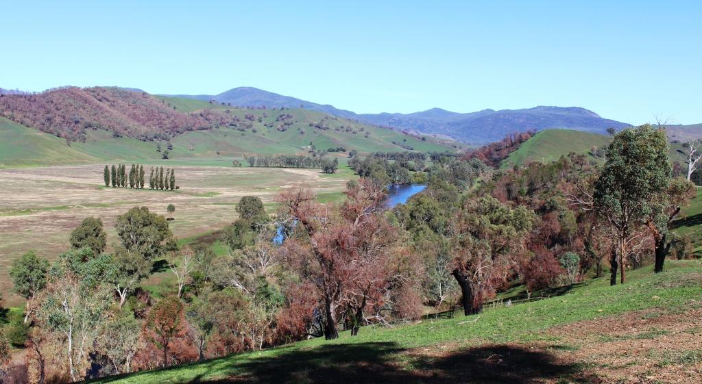
The view from Mount Alfred Gap Lookout

Just before we crossed the river at Jingellic we started to pass through extensive burned areas. Whole mountain sides of bush and pine plantations had been scorched. Jingellic had not been missed by much. Fires north of there, near Tumbarumba, were reported on news broadcasts as being quite severe with that town largely evacuated.

Jingellic General Store

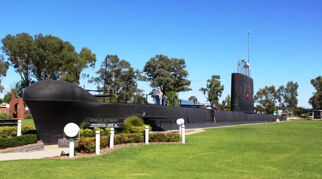
We returned to the Hume Highway at Holbrook, an inland town known as the home of a submarine. One of the Japanese subs that attacked Sydney Harbour during WWII was on display in a park for as long as I can remember. But the Japanese sub has gone and been replaced by the top half (cut off at the waterline) of HMAS Otway, a decommissioned Australian submarine.

The top half of the HMAS Otway on display by the roadside at Hollbrook, NSW

I can’t find what happened to the Japanese sub but I think it is in a museum somewhere. Or was it returned to the Japanese? Can someone tell me?

The Hume Highway was not carrying much traffic so we made good time, pausing at Gundagai for lunch and arriving at Canberra just as rain started to fall. We were booked into Canberra for two nights. There are always things to see in Canberra. A visit to the War Memorial is never a waste of time so was on the agenda.

Canberra is a widely spread city. Our accommodation was at a hotel at Gungahlin, in the outer northern suburbs. We had a drive of near to 20 km to our first visiting point.

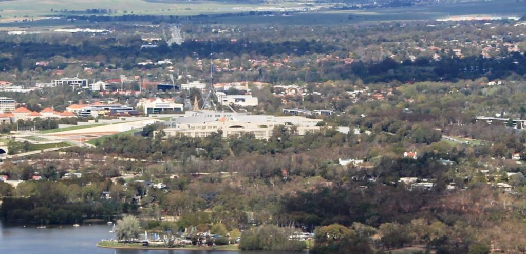
Parliament House from the Telstra tower

Two nights in Canberra meant a sleep in. Partly to let the clouds drift away and partly to be a bit lazy, we spent the morning in, delaying sightseeing until after an early lunch.

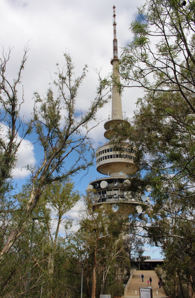
Telstra Tower viewed from the car park at the summit of Black Mountain.

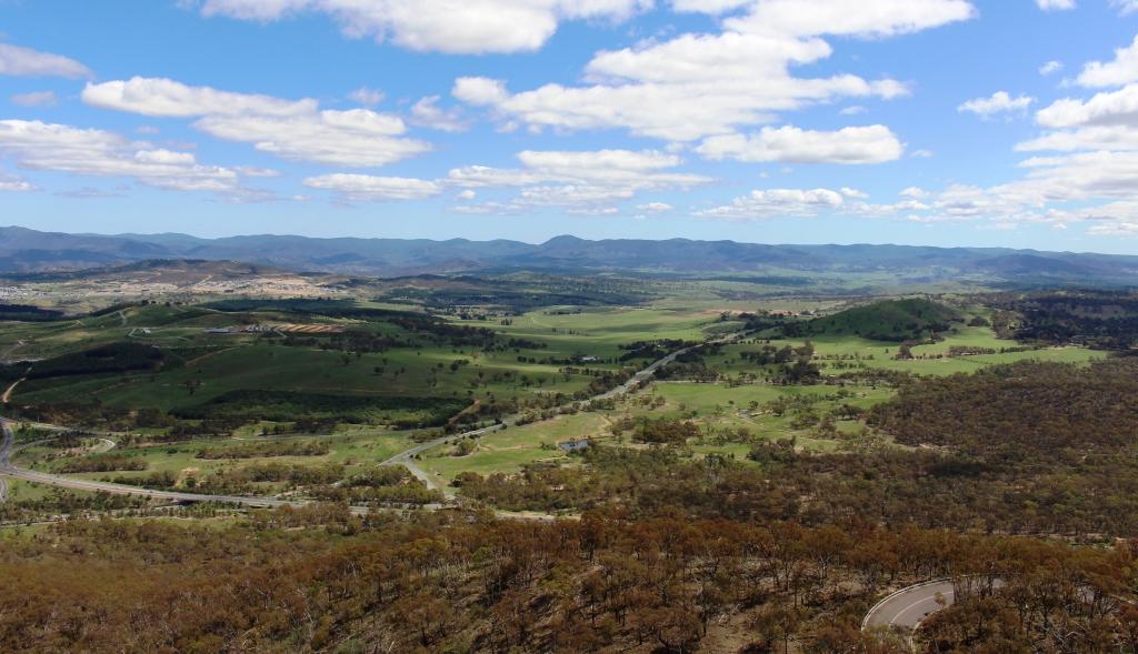
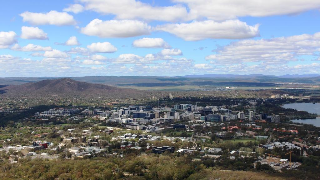
If you want to see all of Canberra there is only one place to go and that’s to the Telstra Tower on Black Mountain. This rocky peak is located in the middle of Greater Canberra. It rises to 812 metres above sea level. The Telstra Tower is at the top. Two levels of observation decks are accessible by elevator. This vantage point allows for a full overview of Canberra, its suburbs and the surrounding hills and countryside.

Parliament House and Lake Burley Griffin

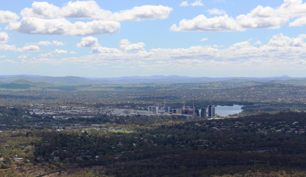
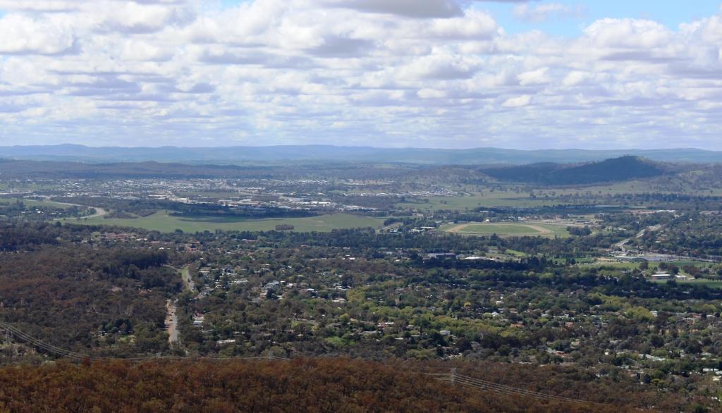
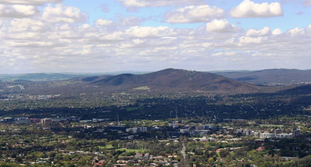
I took a series of photos giving views all the way around from the top open deck. A selection appears below.

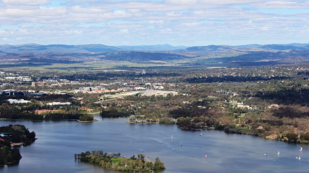
View to the south from Telstra Tower. Government House is located on the peninsula on the lower right.
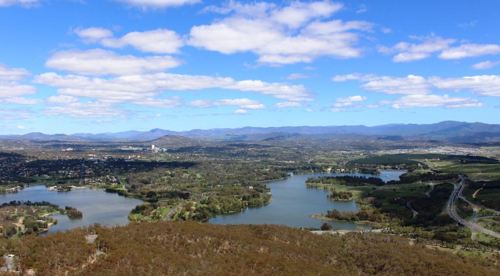
A view to the south west. Note new suburbs under construction
The high rise by the smaller lake is the suburb of Belconnen and its surrounds.
The view to the north east from Telstra Tower
Mount Majura provides a eastern boundary for Canberra suburbs.
Canberra city area. Canberra airport can be seen at the centre right of the photo.

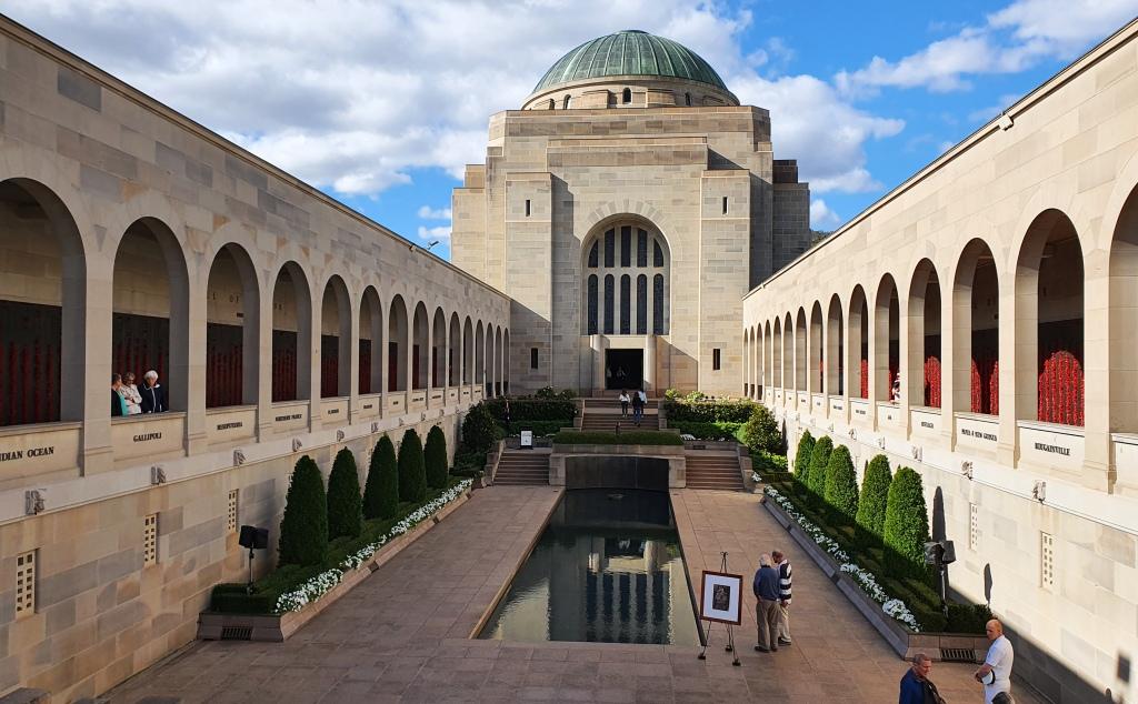
We then visited the Australian War Memorial. We normally spend some time there when we visit Canberra. There are normally changes and new exhibits, particularly if we have not visited recently.

The central courtyard at the War Memorial is flanked by the galleries that record the names of the fallen. Note the remembrance poppies that can be seen beside names in the gallery to the right.

I didn’t take any photos of the displays but only some outside shots. Because we were there towards the end of the day we were able to stay for the daily closing ceremony. We had time for a quick afternoon tea break at the conveniently located Poppy’s Café. We had to be quick as they were about to close.

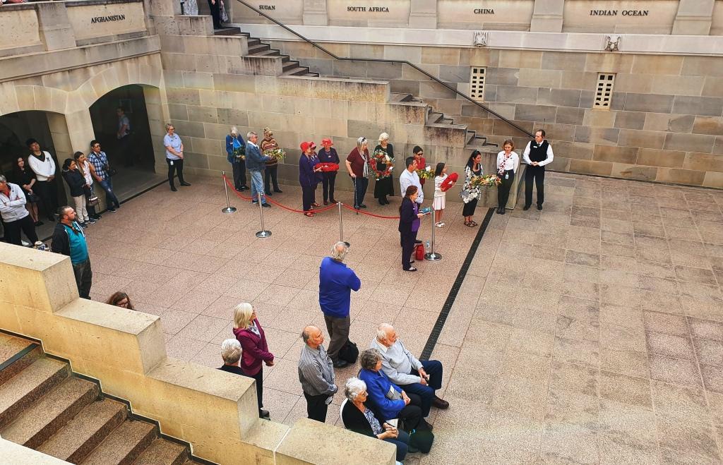
Family members and those laying wreaths wait for the start of the ceremony.

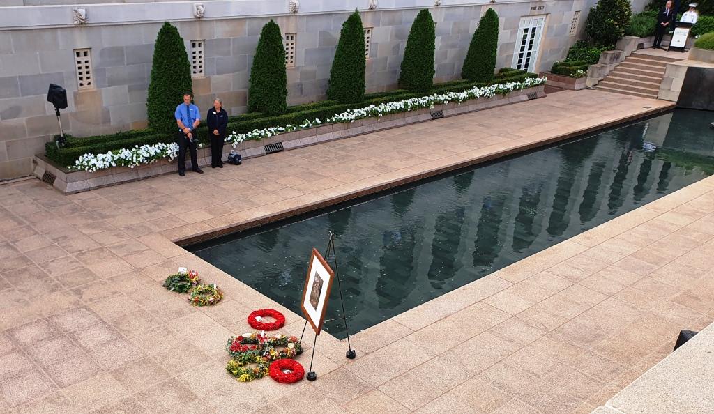
Each day a different service person who lost their life during hostilities is featured. Their photo is displayed and their story told by a currently serving member of the armed forces. Often relatives of the fallen service person are present and take part in a wreaths laying ceremony. The National Anthem is sung and the last post sounded. The ceremony is held in the central court near to the reflective pool and the eternal flame. It was a very moving experience.

The photo of the honoured service person of the day with wreaths placed during the ceremony.
The final message at the pedestrian entrance to the car park.

We had planned to spend a couple of days at daughter Briony’s unit in Sydney, as she was away for a few days. But with the seriousness of the corona virus situation becoming clearer, we had decided to give up on that plan and head home.

Our interim destination became Bowral, in the NSW Southern Highlands, to visit Ruth’s youngest brother and our sister-in-law. We had an invitation to lunch. Following this very pleasant occasion we departed mid afternoon for Katoomba, to spend the second last night of our trip.
Travel via Katoomba was a longer way home but we wanted to see fire damage in the Blue Mountains. We had heard that fire had burned very close to the Three Sisters. There was no sign of fire damage from the Great Western Highway.
It was drizzly and cold when we arrived at the motel so we deferred visiting Echo Point until next morning.

Big mistake! Next morning dawned with a thick fog over the mountains that hung well below the altitude of Katoomba. We didn’t break out of the fog until well on the way to Lithgow.

We spent one more night along the way at Moree, arriving home about mid afternoon on Wednesday 18th March.

In all we had driven just over 10,000 km and had been away for 50 days. The distance Melbourne – Devonport – Melbourne did not register on the odometer, of course but was a further 436 km each way.

Would we visit Tasmania again? Yes! But realistically, at our age, we don’t expect to have the opportunity again.