
Not much sightseeing today but endless ups and downs over considerable altitude. Last night was a doona night and the morning again dawned fine with the promise of a hot day. Once again the promise was kept.
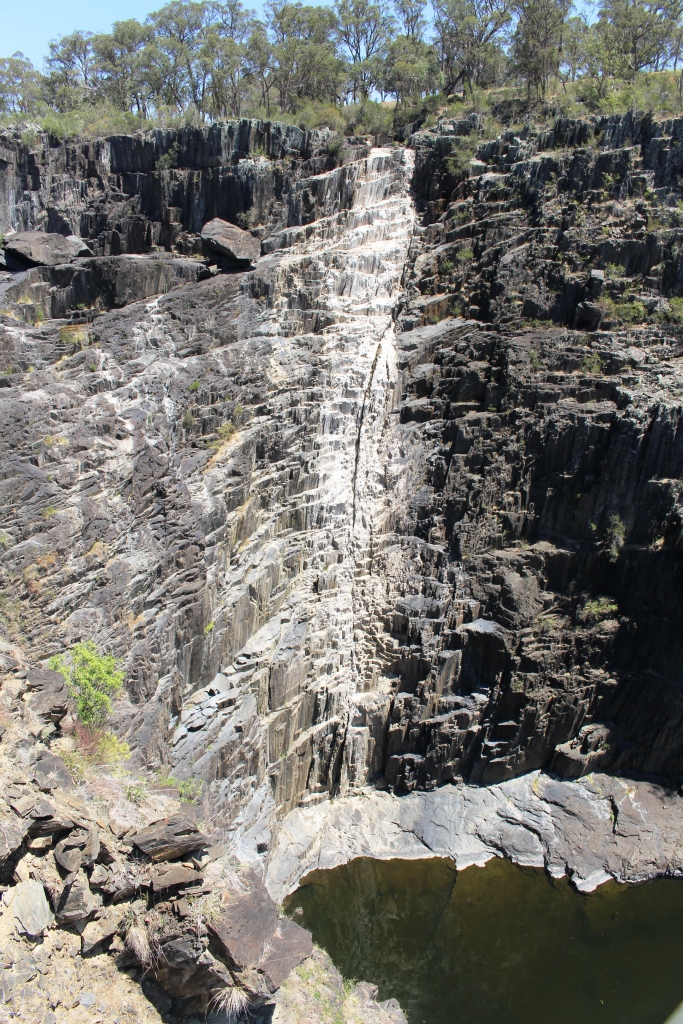
The white stain shows where the water normally is.
The drive from Armidale through Uralla and on to Walcha is through fairly gently undulating pasture land but Walcha is at the edge of the plateau and the hills start to the south and east. We took a side trip to visit Apsley Falls and Gorge which are about 20 km towards Wauchope and the coast so we started to experience hilly country.
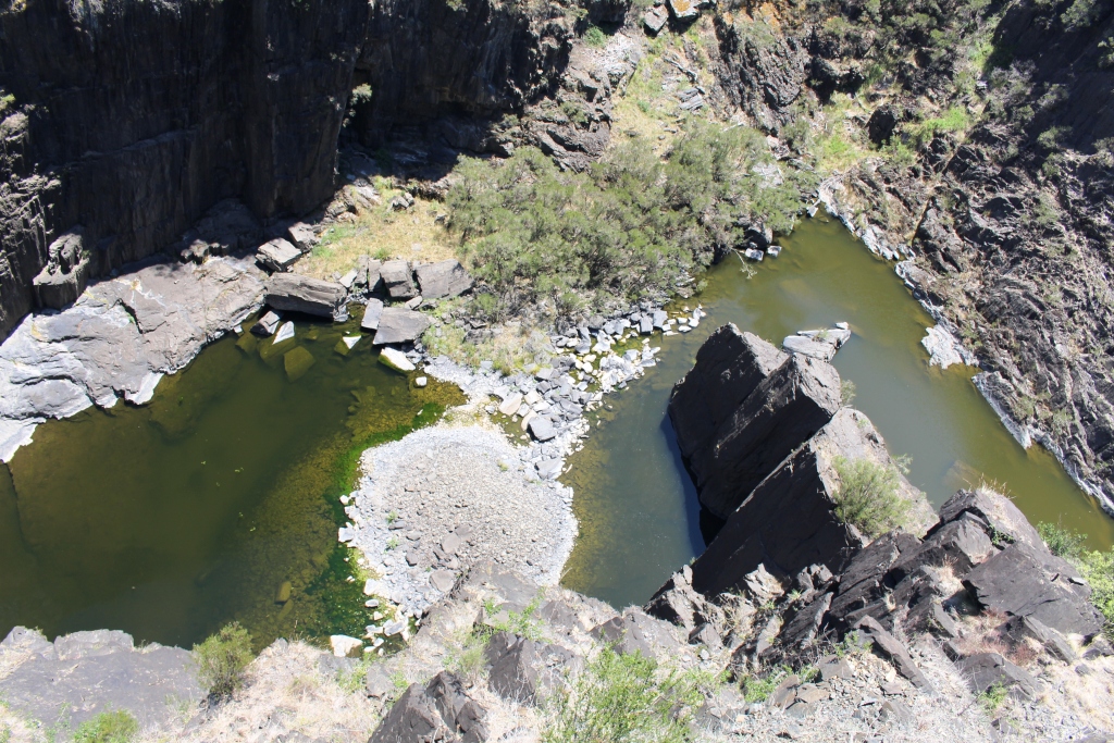
Only a couple of pools remain at the foot of the falls.
Apsley Falls must be magnificent when there have been good falls of rain but today were totally dry, with the exception of a few pools at the very bottom of the gorge. The area is well presented with excellent visitor facilities.
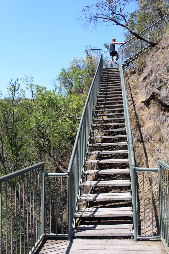
This is part of the 106 steps to the mid-level viewing platform.
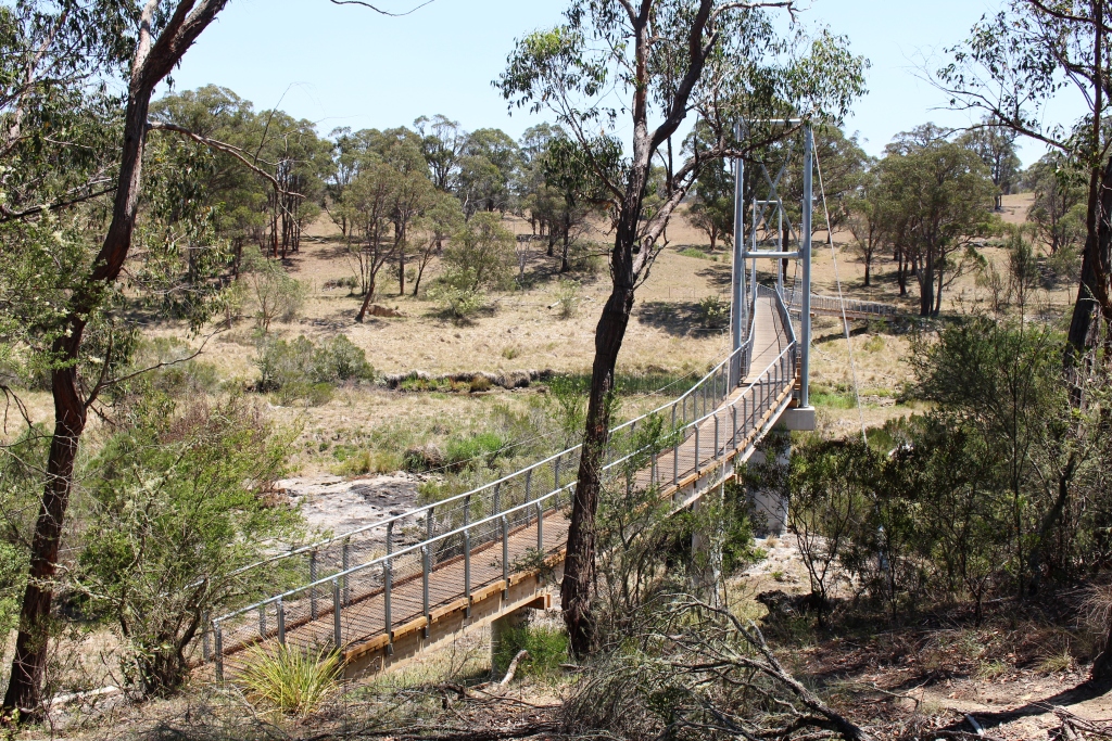
A suspension bridge provides access to the far side of the gorge.
A suspension bridge spans the stream above the falls to give access to the far bank. We didn’t do that walk today but it would be pleasant in cooler weather with water going over the falls. But I did the climb down 106 stars (and back up again) to the lower viewing platform. I felt the last few steps back up.
Apsley Falls are in the Oxley Wild Rivers National park and are on the Apsley River. The dry falls that we saw yesterday at Wollomombi are on the Chandler River. Both flow into the Macleay River which, after flowing a great distance, reaches the ocean at South West Rocks.
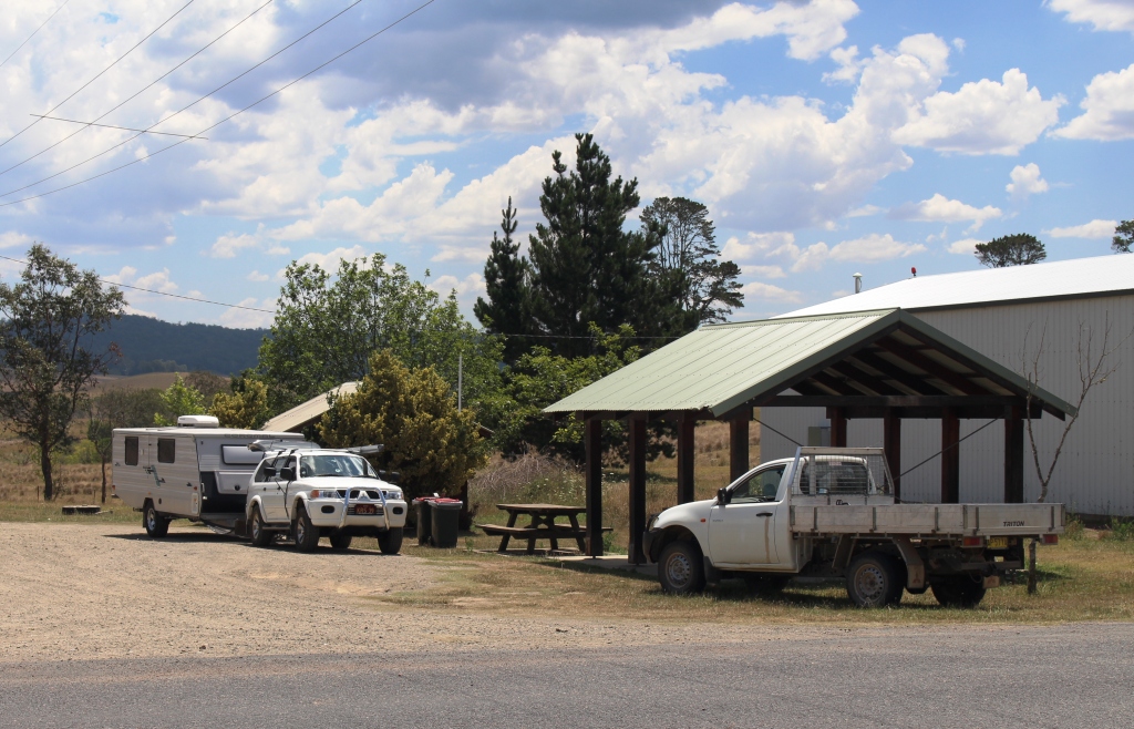
The rest area at Nowendoc provided a pleasant lunch stop.
Our path took us back to Walcha and then through Nowendoc to Barrington and then to Gloucester. As soon as we left Walcha the road started to climb. Past 1,100 meters, then past 1,200 meters, down a bit and then higher still. The altimeter on the GPS reached 1,332 meters and then we plunged. Down we went more than 400 meters in a few kilometres into the Nowendoc valley. Farming country extends almost to the edge of the plateau with pine plantations and virgin bush at the edge and on the decline into the valley. Then farm lands again..
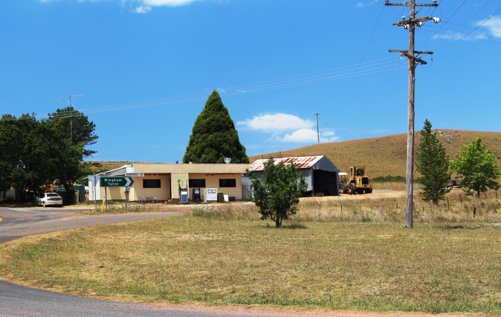
Nawendoc commercial centre
Nowendoc is a tiny town located about a kilometre from the main road. We visited and used their excellent travellers’ facilities, including a picnic shelter, for lunch.
Back on the road and it was back to climbing and descending again. Finally we came to Karo Mountain and a descent that was very steep. A sign at the top warned all vehicles to use low gear. What sound advice! The descent went on and on, around several sharp bends and past numerous signs to indicate that the slope still had some distance to go. Once we reached the bottom of this descent it was not far to Gloucester.
We had intended to take the van over Barrington Tops with a possible overnight stop somewhere near the top. But storms are forecast so we will make day trips into the area until we move on in a couple of days.