With the dirt roads closed for an unknown period, we needed to choose a new route to Trilby Station and we needed to be on sealed roads until the dirt roads dried out. To wait in Balranald until the dirt roads were usable would not give us time to use the roads along the Darling River as initially planned and still get to Trilby on time. The logical route was north on the Kidman Way to Cobar, as this would give the dirt sections of the road in via Louth time to dry out and become usable again.
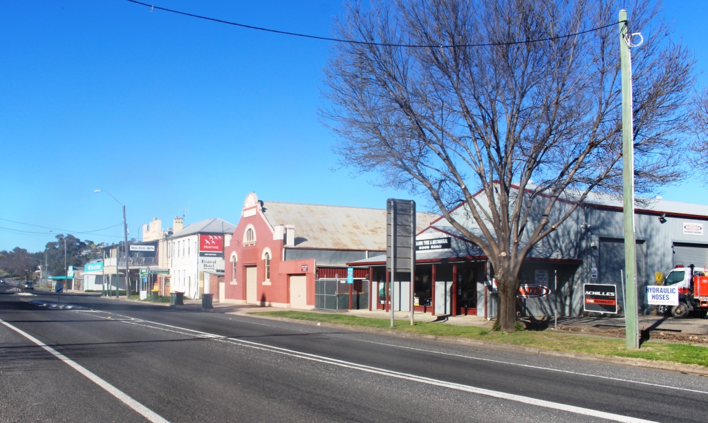
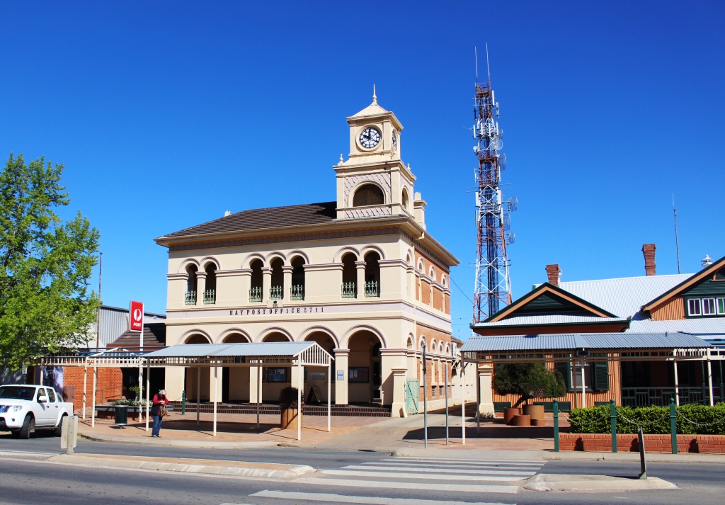
So we followed the rain back along the Stuart Highway, turning north at Darlington Point and detouring to have a look at Leeton on our way to Griffith, where we planned to spend the night. From the moment that we left Balranald we could see a large rain storm ahead of us, tracking along the Murrumbidgee. We finally caught it just before Hay, driving through its trailing end as it crossed the highway.

The court yard at Yanga Statiom
But before we caught up with the rain, just east of Balranald, we made a brief detour to Yanga Homestead, now located in a national park that takes its name. The homestead, which opens for tours at times, is still a magnificent structure, set on a hill overlooking the impressive Lake Yanga. Park HQ is located here and national parks rangers conduct the tours of

The view of the lake from the homestead.
the house and tag along tours of the property. Our schedule did not allow us to participate in such activities but it was interesting to see an example of how life was lived on a large station in times gone by. We were able to see into quite a lot of the rooms, still furnished, through the windows. A visitor centre in the old cook’s cottage contained a great deal of information about the station and the role that is played in the area.
We struck heavy rain between Leeton and Griffith. It conveniently removed all of the red mud that we had picked up on a short, but wet and muddy area of road works on the drive into Leeton. The extensive vineyards along this stretch of road are just coming to life after the winter hibernation, so the growers would have been delighted with the rain.

Lake Cargelligo
Instead of following the Kidman Way out of Griffith we took the Rankins Springs Road and continued from there to Lake Cargelligo, where we spent two days, doing nothing much. There really isn’t much to do there but, after all the driving we enjoyed the break. I remember Dad talking about Lake Cargelligo. I understand that he visited there during his time based at Condoblin. Lake Cargelligo is on the Lachlan River so has a sort of connection to Lake Mungo. Its water is used for irrigation.
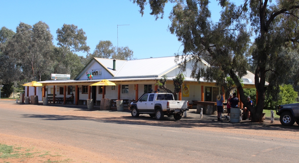
Louth Pub – Shindy’s Inn
Our path from Lake Cargelligo lead through the small town of Eubelong, then along a road that until recently had gravel sections but is now fully sealed, to join the Kidman Way at the old copper town of Mount Hope. An easy run on a good road, one that we had used only a little over a year ago, brought us to its intersection with the Barrier Highway at Cobar. The Bourke
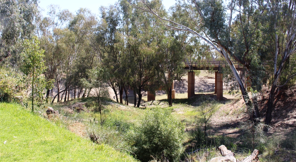
The bridge over the Darling at Louth
Shire web site declared the dirt parts of the Louth Road open to light traffic, so we were good to go next morning.
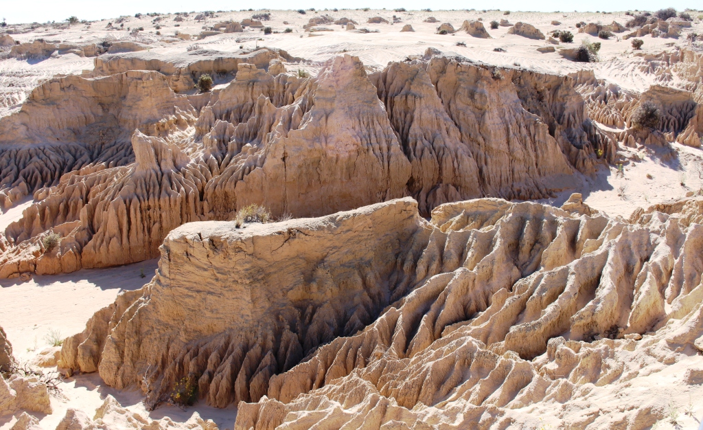
It is about 150 kilometres from Cobar to Trilby Station, the first third of which was a good sealed road with the balance varying between good and not so good dirt

Range lands west of the Darling River
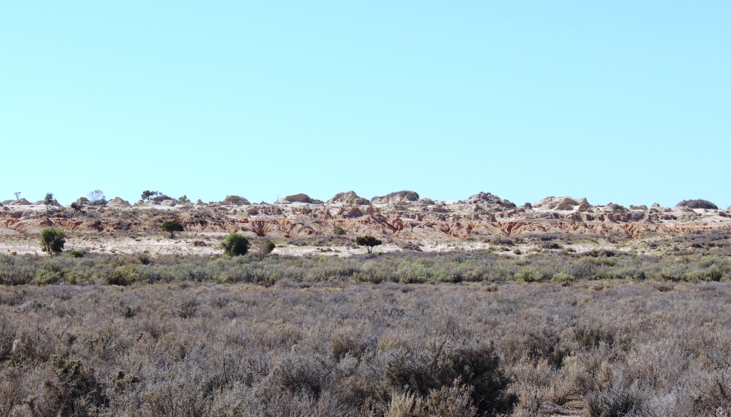
and gravel. The country side is fairly flat and scrubby with cleared areas for agriculture and grazing. There was not much road kill and we saw one kangaroo, hundreds of feral goats and more emu than I think we have seen anywhere.
A sign at the pub in Louth declares it to be the site of the “East Side Port”. The Darling River is currently at a level
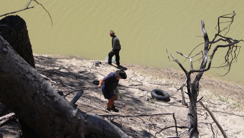
It’s a long climb down to the water
that would have made it unusable to paddle wheel steamers with not much water and plenty of exposed sand banks, but the height of the exposed banks shows the adequate navigable depth available when the river is running near to the top of the banks, or even when only partly full.
Louth is a very small town with a district population of 103 at the last census. The pub doubles as shop, restaurant and fuel supply. It has an attached camping park. The town also boasts a tennis club, and turf club. The annual race meeting attracts folk from near and far. It is an event of such significance that the Bourke Shire Council grades the approaching gravel roads in preparation. That all occurred not that long before we were there and the roads were generally in quite good condition as a result.
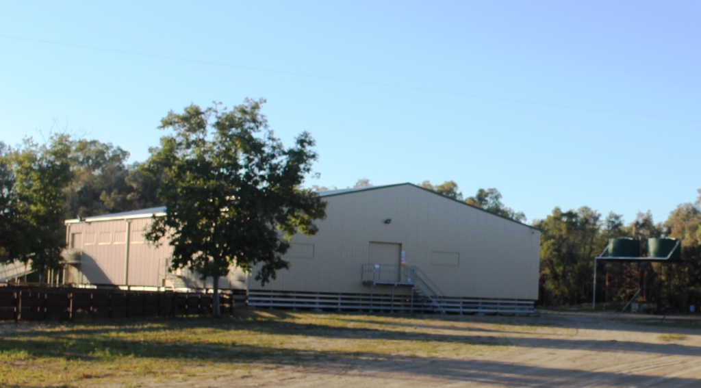
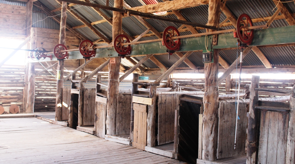
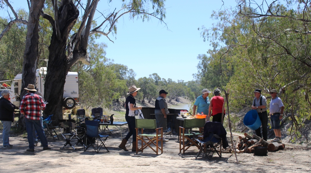
The wool shed provided a venue for our group activities
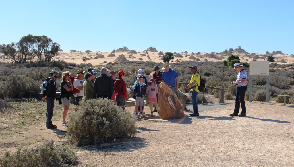
Trilby station is on the west side of the river, so we crossed the bridge over the Darling and drove the 25 km to our destination. Users of the ExplorOz web site (the one to which I direct you if you want to follow our movements) conduct what are known as “gatherings” at locations around Australia. They are self help ventures and can be set up by an individual. Interested

Accommodation is available on the shearers quarters, located among shady trees
members then indicate their interest and the convener makes sure that all of the details are pulled together.
About 120 of us gathered at Trilby Station. Some of us occupied powered sites near the homestead while others camped in a series of camp sites along the river. Trilby has Telstra Next G coverage so we were able to maintain contact with the outside world.
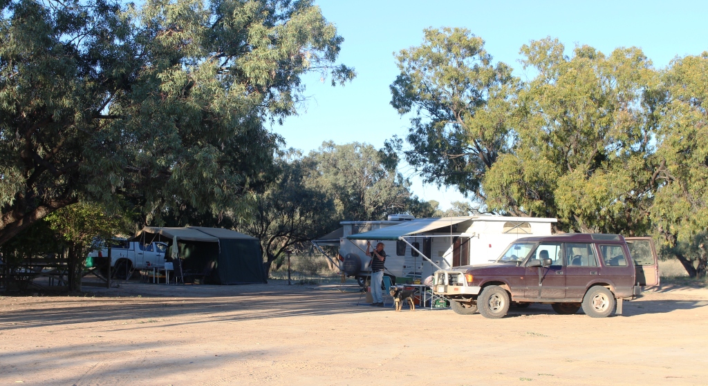
Vans on the powered sites near the shearers’ quarters
Gathering programs are not very formal and attendees are left to do what they like for most of the time. There is a formal meeting at around 3.30 each afternoon where fund raising activities take place. The station owners, the Murray family (Murrays living on the Darling), hosted a three course dinner in their modern wool shed on the Wednesday night which also saw some fund raising activities, including the rather unpredictable sport of yabby racing. The beneficiary of the charitable activity was the Louth committee of the Royal Flying Doctor Service to who we presented around $3,200. They were delighted!
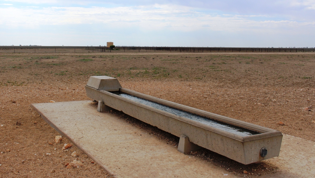
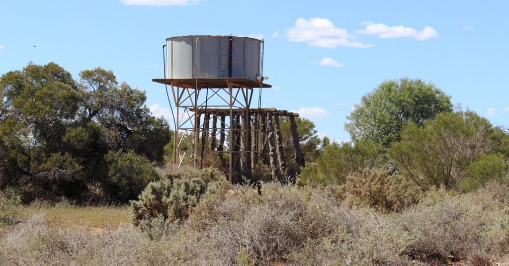
Water trough with a storage tank in the background.
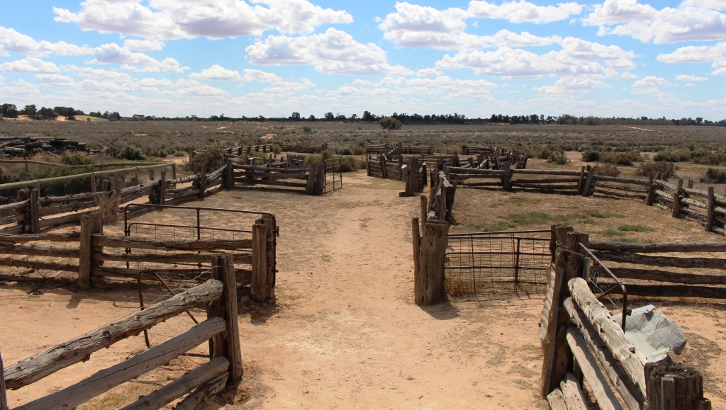
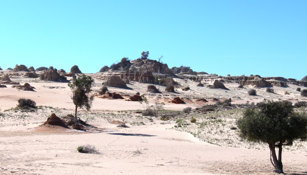
One available activity was to borrow a station “mud map” and take a look at the property. There is no shortage of roads to drive. Trilby Station covers 320,000 acres and supports up to 24,000 Marino sheep. On the day of our arrival they were sheering the station rams, of which there are about 300. Quite a hand full for even an experienced shearer! There are 6 sheering stands in the very modern
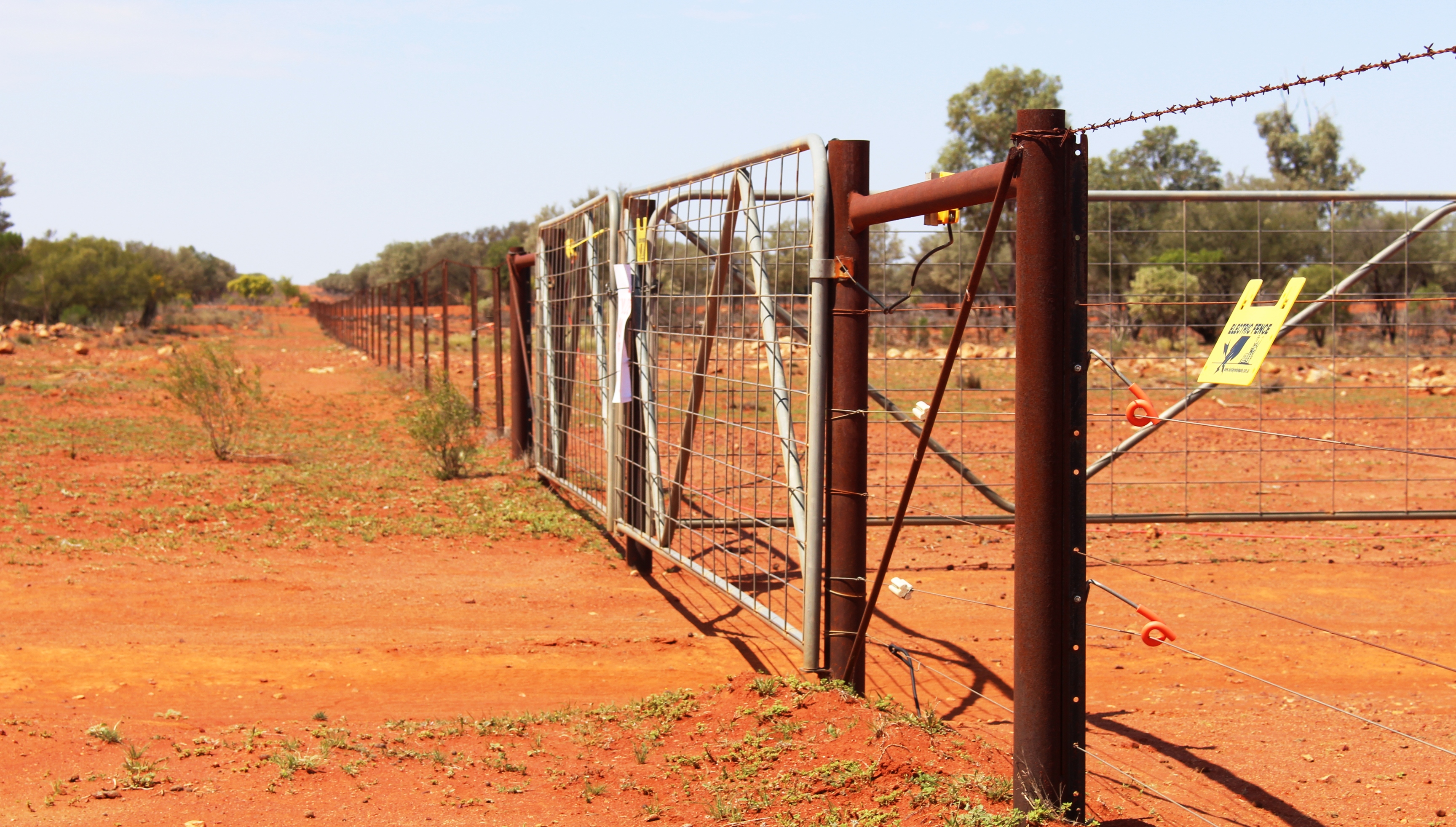
A long straight fence
and clean wool shed. Wool producing activities are supplemented by the capture of feral goats which are fattened for the export market.
We did both station drives on roads with multiple gates. Ruth says she opened and closed about 20 of them. The longest station tour was about 80 kilometres with a distance at one point of 8 kilometres between gates in a direct line. I think that was what they call the 50,000 acre paddock.
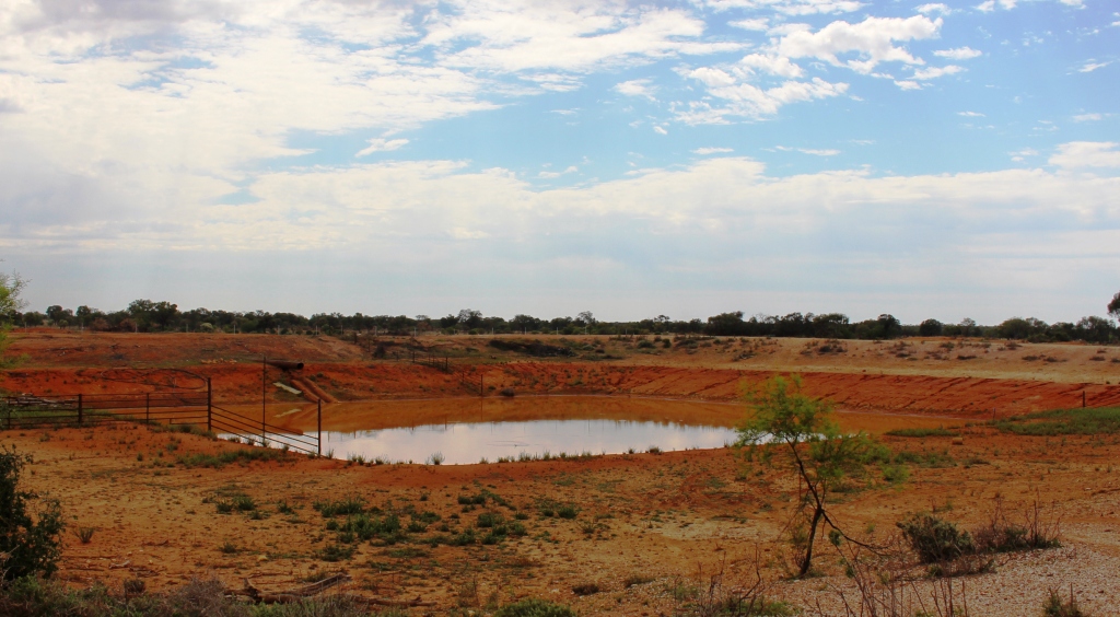
A ground storage tank or dam
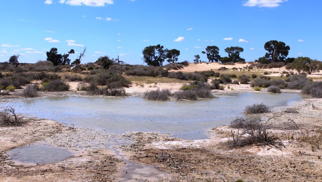
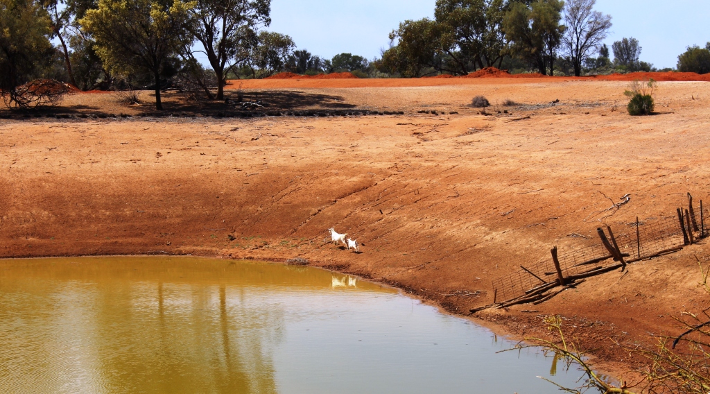
As you drive around this type of semi arid property the paramount value of water becomes very obvious. Tanks, both the conventional above ground type and those dug into the ground, appear at regular intervals with accompanying drinking troughs and windmills or pumps to lift the water. This country sits atop the Great Artesian Basin so that is the main source of water but rain is needed to provide feed for the sheep.
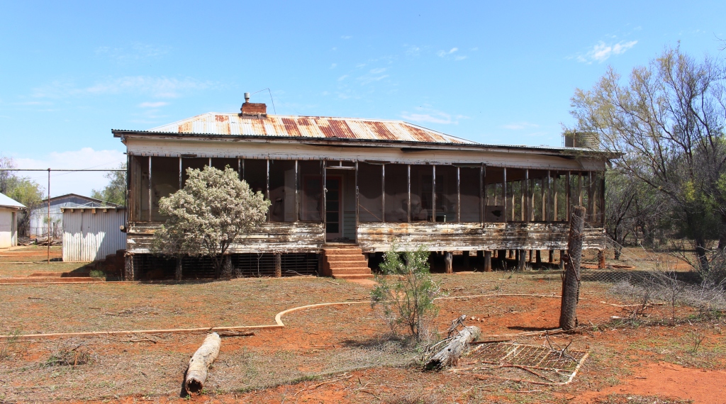
Abandoned New Chum homestead
In these days of increasing station size, properties are often merged. Sometimes the second homestead is used as a residence for station workers but at times these houses are no longer required. Such was the case on Trilby many years ago. The occupants of what had been the New Chum homestead were moving to a fully furnished house so just walked out, taking only
Ruth remembering going to work in Sydney
clothing and personal effects and left everything else there. In case someone was stranded and needed it, they said. The homestead is a feature of the drive, still remarkably intact, with packaged food items and crockery still in the cupboards.
Nearby a large tank or dam supplied many of the racing

Sheep on the higher country near New Chum homestead. The hills in the far distance are on the other side of the Darling
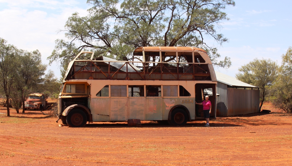
yabbies and continues to supply water to the stock. The aircraft hanger still stands and is host to a collection of old motor vehicles including a very old Sydney double decker bus. The air strip is still used for station activities.
The second mud map excursion, which we did a couple of days later, took us to the area where
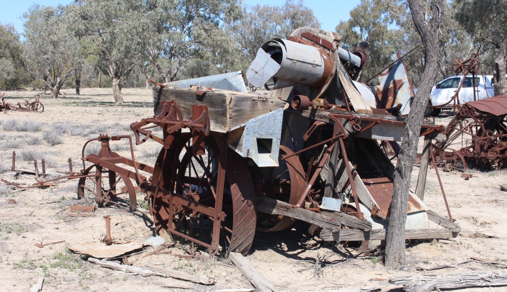
This machine appears to be a harvester of some kind
agriculture once flourished, mainly as a food source for the large number of animals that provided the energy to get things done on the property. The area is adjacent to the Darling River and is the final resting place of the early farm machinery. Name plates include some well known names such as H.V. McKay & Co.

The remains of the wood carrying jinker
Of particular interest to me was the remains of the jinker that was used to transport wood for the boiler that provided steam to drive the water pump that drew irrigation water and water for the stock, from the river. It had wheels made from sawn sections off a log.
The remains of the boiler stand on the edge of the bank above the river, and a pipe still connects to the pump that lies partly submerged at
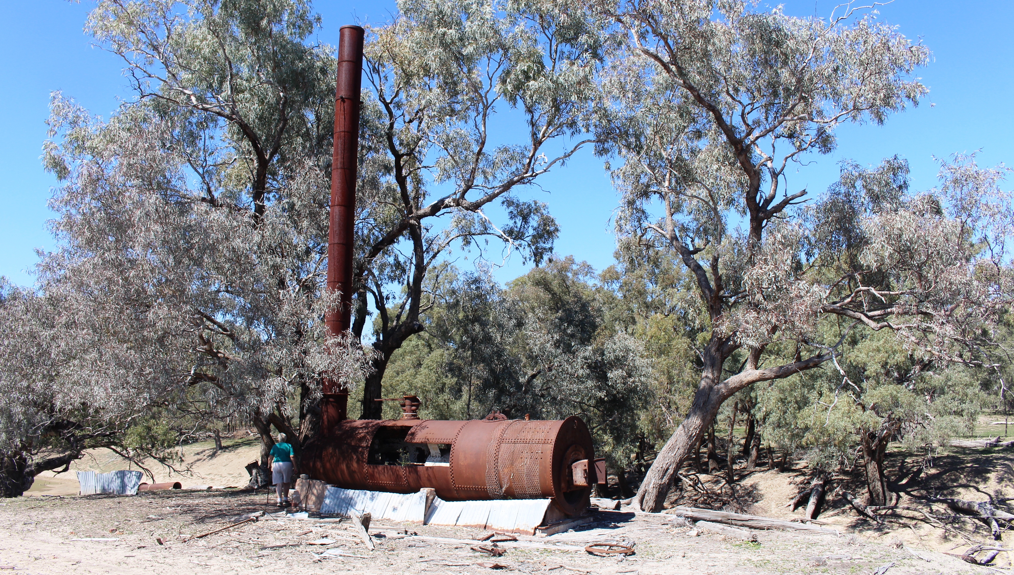
The steam boiler on the river bank
the edge of the river. The pump formerly resided under the bottom end of a slide wharf that was used to load wool and unload supplies, but has been left exposed as the timbers have rotted away.
Floods are quite common along the full length of the Darling and Trilby is no exception. There is no need for there to have been local rain as
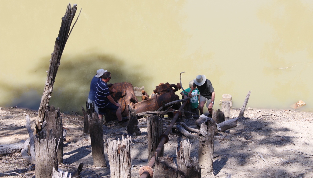
Members of our party examine the pump at the waters’ edge.
Darling River floods come from afar, mostly from the central highlands of Queensland. Rivers from this area, starting with the Paroo that raises North West of Charleville and then successively swing in an arc to the south east to the McIntyre River that forms the NSW/Queensland border, and several in northern NSW, all run into the Darling. So, a few weeks after places like Charleville and Roma flood the good folk at Trilby will find themselves isolated on their own island, formed by the levy banks that keep the waters of the Darling away from the homestead and other important buildings. It is just as well that the levy banks enclose the air strip and hangar. But that is by design.
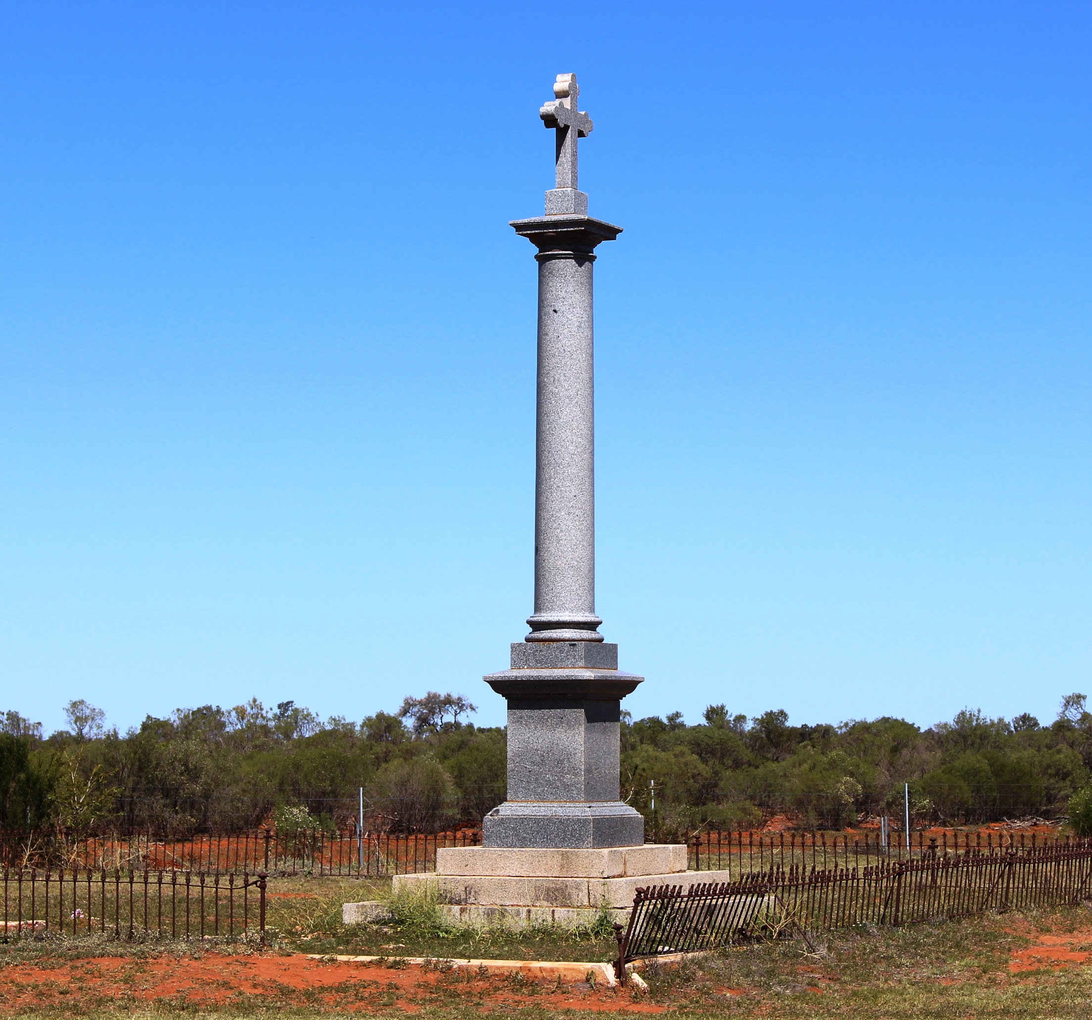
A memorial to Mary Mathews, first wife of TA in the cemetery. On the anniversary of her death the polished cross reflects light onto the spot where the house stood in which she lived.
One of the founding fathers of the district, an Irishman by the name of Thomas Andrew Mathews, later known as the King of Louth, was born in County Louth in Ireland, hence the name of the town. One of TA’s early business ventures was a pub on the river bank. There is a pub there today called Shindy’s Inn, which is the one that provides most of the services available in the town. On out last day in the area, in company with friends from the gathering, we adjourned to Shindy’s Inn for lunch. We were seated at a large table sawn from a large log and shaded by conveniently placed trees. The food was excellent and the beverages cold.
Liz Murray, hostess to guests at the station, came to the area to work in the late 1970s, met Garry Murray at Shindy’s Inn, married him and has never left the area. Garry is a descendant of early pioneers. At about the time that TA Mathews was establishing Louth the first Murray to the area built a pub further down the river. But he died in his thirty’s and his family decided that there was more money in cattle and sheep than beer, so he became a farmer. Garry and Liz continue the family calling.
The Darling River in the background of the cooking site
On Wednesday, the day between our two mud map tours, we took instruction from friends Trev and Marg in the art of damper baking. The first attempt was successful, producing an edible damper. Marg supervised, Ruth mixed and I watched. Much of the success, however, was due to Trev’s stewardship of the fire. He had prepared excellent quality red hot

The result of our cooking. Our damper is on the left
coals and skilfully heaped them around the base and on the lid of the camp oven. I then assisted by eating my share. On a future trip, when we can light a camp fire, we will have a go on our own. We will report results – perhaps!
And the recipe?
- Four cups of self raising flour
- A bit of salt (to taste)
- Water to produce suitable consistency (like scone dough)
Put it in the camp oven, add coals and keep taking a peep to make sure that it is not burning. Eat with butter and golden syrup, preferably while still warm.
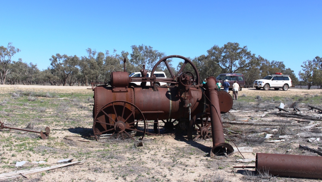
A steam traction engine lays where it was last used, about 80 years ago
Fellow attendees at the gathering had indicated that the road back to Bourke was a bit rough at the southern end (it is dirt all the way) but reports on the alternative road that runs on the western side of the river were much better, so we chose that road as our departure route. We were not disappointed and had a smooth road all of the way with the exception of some corrugated areas at cattle grids.
A alrge ground tank complete with a goat trap
We stopped for morning tea by a stream and found that it was the lower reaches of the Warrego River that flows through Charleville and Cunnamulla. This route brought us into Bourke from the north, past the site of Fort Bourke, established by Major Thomas Mitchell on his expedition through the area and past the cotton growing area that is irrigated from the Darling.
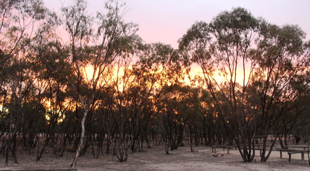
Sunset through the trees at Collarenabri
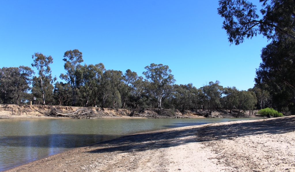
Two more nights spent along the way and we were home. Despite challenges from the rain we were able to visit most of the areas that we had planned. But the Darling River between Louth and Wentworth, where it joins the Murray River, remain as a challenge for another day.
Liz Murray has prepared a detailed history of the family, station and district, a copy of which was part of our arrival kit. So I am indebted to Liz for the historical detail that is included in this post.