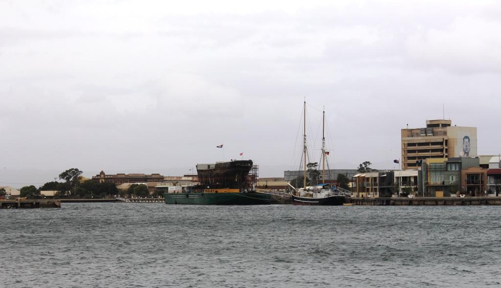
Sailing ship at Port Adelaide
Please Note: A link to a short video covering the material in this blog post can be found at the bottom of the blog.
Our first day in the Adelaide area started fine and calm but didn’t stay that way. We spent the morning in camp. The first job was to take in the awning in preparation for the wind. The blow started mid morning and continued until late. We went out to do some shopping after lunch. Heavy rain arrived soon after our return, but passed through in about an hour. Then it was wind and occasional showers until around dark when the rain ceased and the wind moderated. By 9.00 PM we had stars over the visible sky.
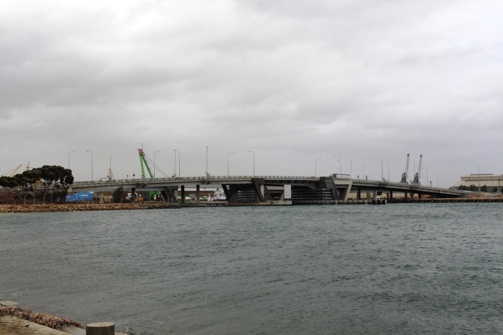
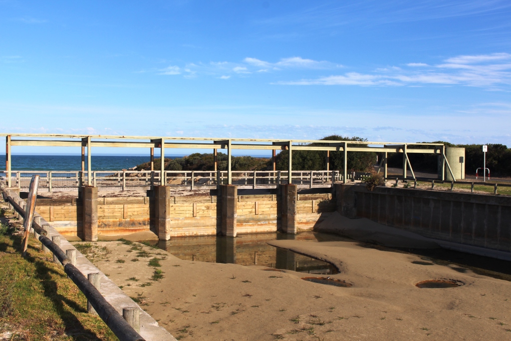
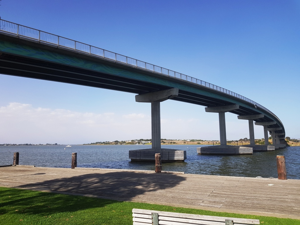
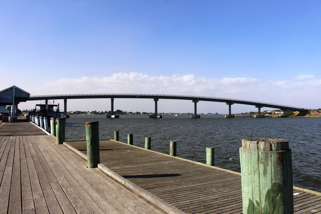
Lift bridge for access to boat harbour
On our second day in Adelaide, the morning was wet and windy. The rain abated at lunch time but the high winds continued. We took a drive.
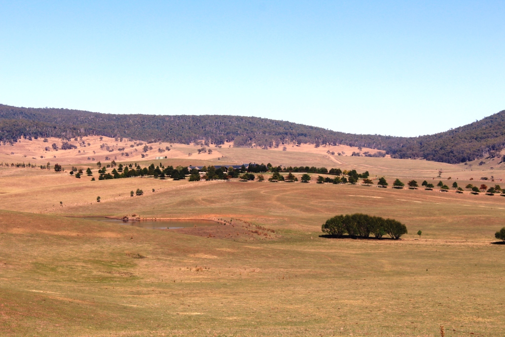
We went west to Virginia, a route that took us past the Edinburgh Air Force base. This is very flat country, formally an area of small crop farming. Green houses abound but most look disused. Property developer signs are starting to appear at the roadside. At least one new housing development has sprouted in the middle of formally productive agricultural land.

Reg Spriggs’ petroleum exploration submersible module
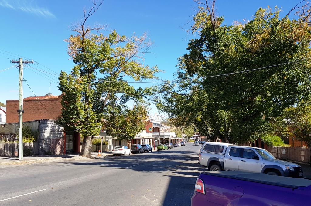
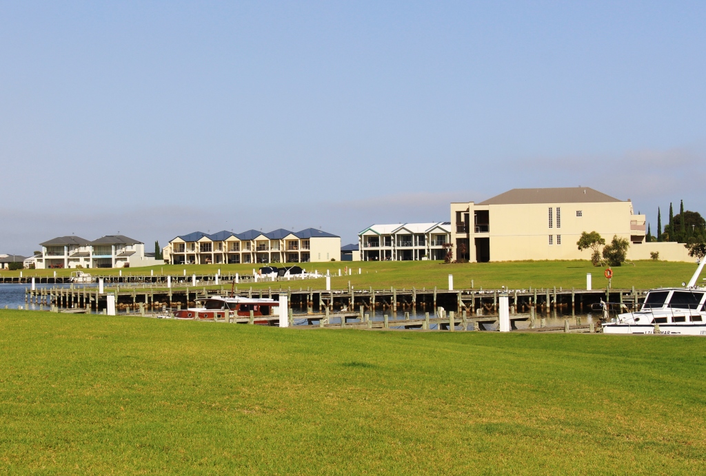
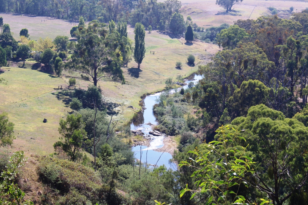
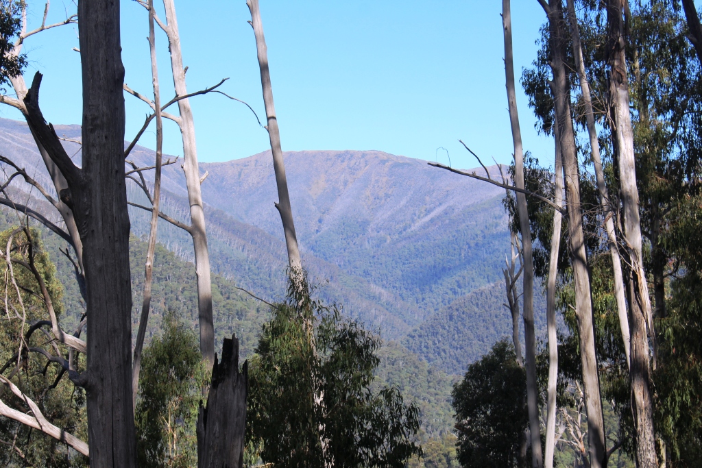
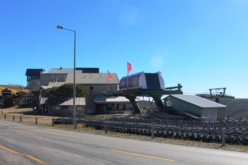
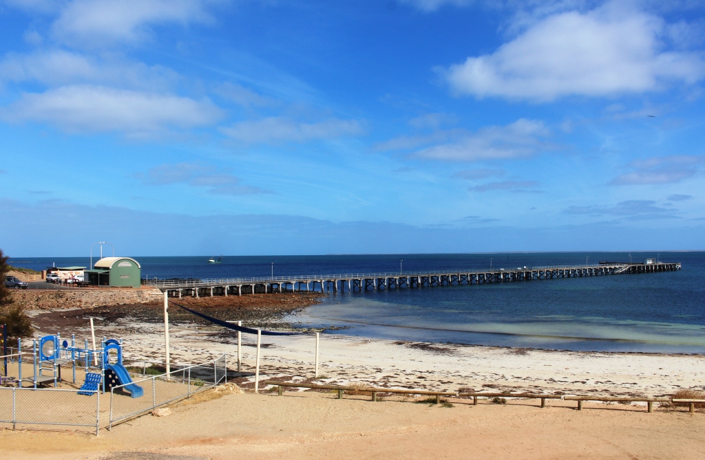
We continued south to Port Adelaide. There has been considerable development since we last visited, some of it industrial, but some related to residential and leisure activities.
Glenelg has always been one of my favorite parts of Adelaide, so that was the next point on the drive. Glenelg is near to both Adelaide Airport and the mouth of the Torrens River. It has its own inlet from the sea, around which there has been a great deal of high value residential development, a marina and hotels. Of particular interest to me is the diving chamber used by scientist and petroleum explorer Reg Sprigg during his search for off shore oil deposits. Reg Sprigg developed the ecological resort at Arkaroola in the northern Flinders Ranges and was heavily involved in the launching of petroleum companies Santos and Beach Petroleum. He was also a close associate of South Pole explorer Sir Douglas Mawson.

The statue of Colonel Light, designer of Adelaide City. Colonel Light is said to have used this point to lay out the design for his city.
From Glenelg we drove into the City via the Anzac Highway. Even on a windy Saturday parking spaces in the city were hard to find, so we drove through, west to east, then turned north to find the Colonel Light statue and viewing point. There used to be good city views from this point but they are now partly obscured by the huge white canopies of the football stadium.
One of the joys of driving through Adelaide is the superb homes and public buildings built from local stone. They are best viewed on foot, but on a day like we were experiencing, we settled for viewing them from the car.
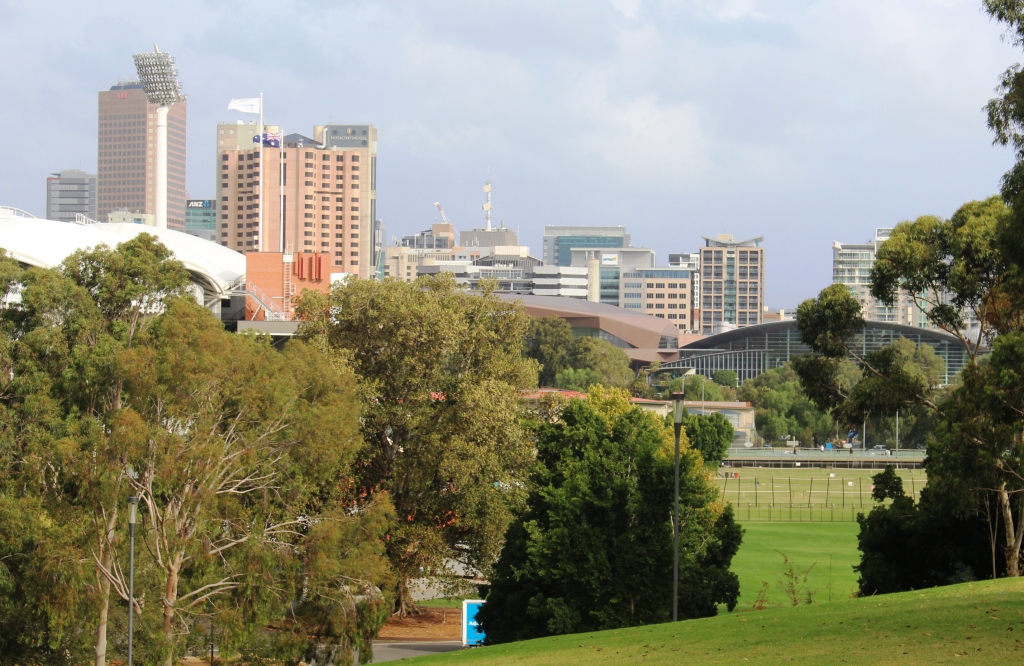
View of Adelaide City from the statue in North Adelaide
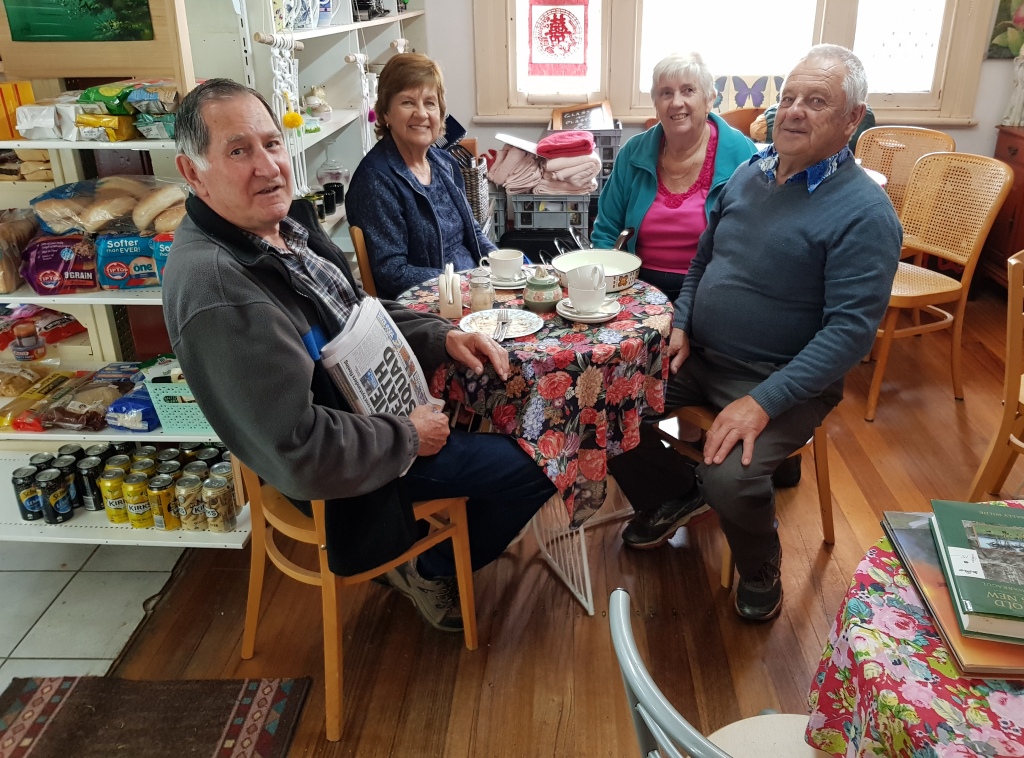
It was approaching 4.00 PM, so we sought coffee and found it with scones, jam and cream. Satisfied that we had made the best possible use of a bad afternoon, we returned to the caravan for the evening.

The roof on the football stadium now obscure some of the city views
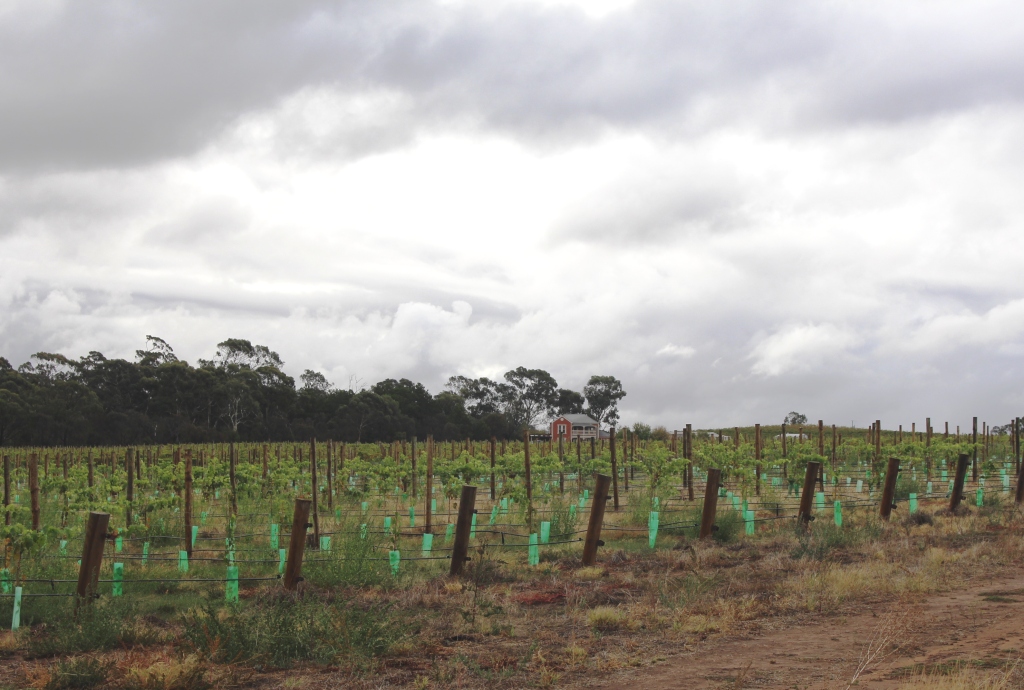
New planting of grape vines
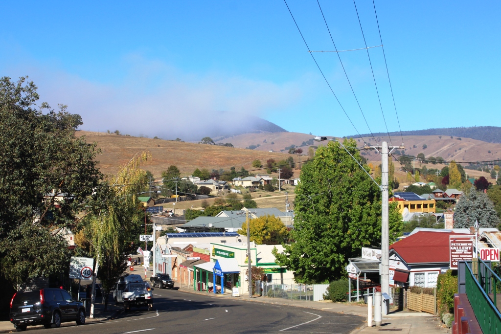
A wet morning greeted us on Sunday, so we stayed in for the morning, but ventured out after lunch to top up food supplies before we moved on from Adelaide. While out, we decided to have a bit of a run through the Barossa Valley between the rain showers. We drove through Gawler, Lyndoch, Tanunda and Nuriootpa before returning to base.
We called at a winery suggested by Briony, but it had closed by the time we arrived.
Post harvest grape vines
We did manage to stumble across Maggie Beer’s Farm Shop. The weather had kept most people away from the area, so the normal popular spots were quite. But Maggie had pulled a crowd. There was hardly a spare table in the coffee shop area. It just shows what a TV profile will do for your business.
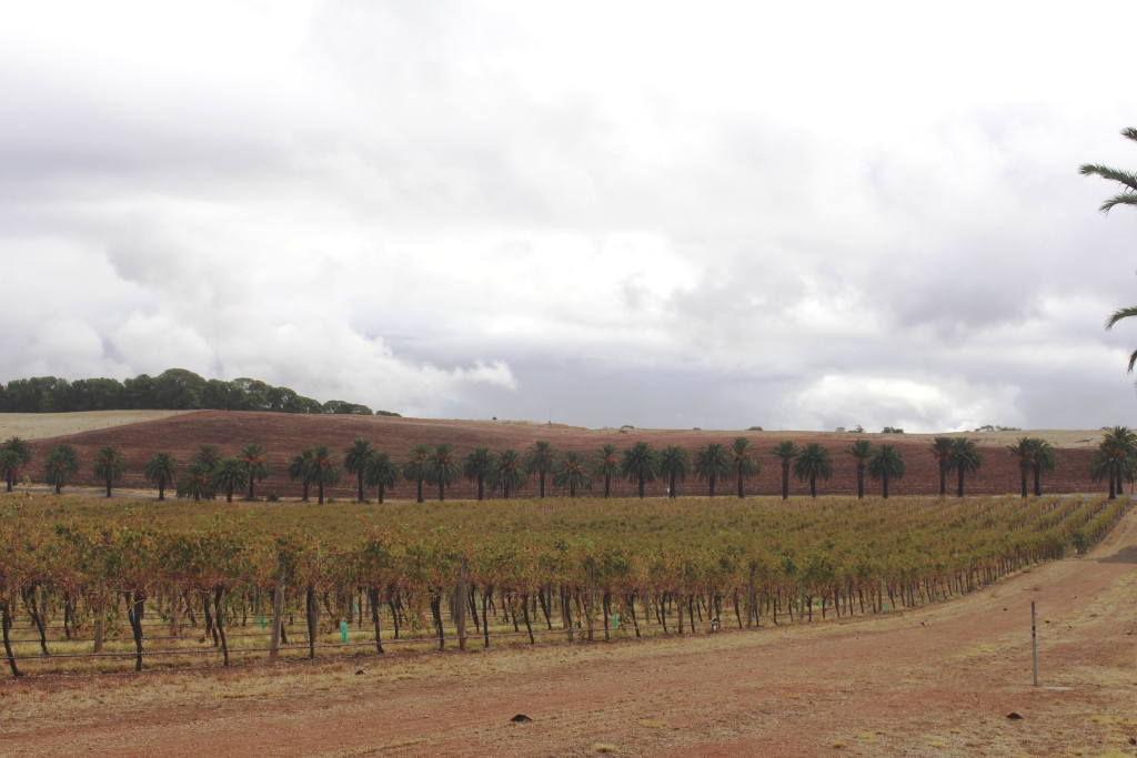
On our way back we passed the huge Seppelt winery at
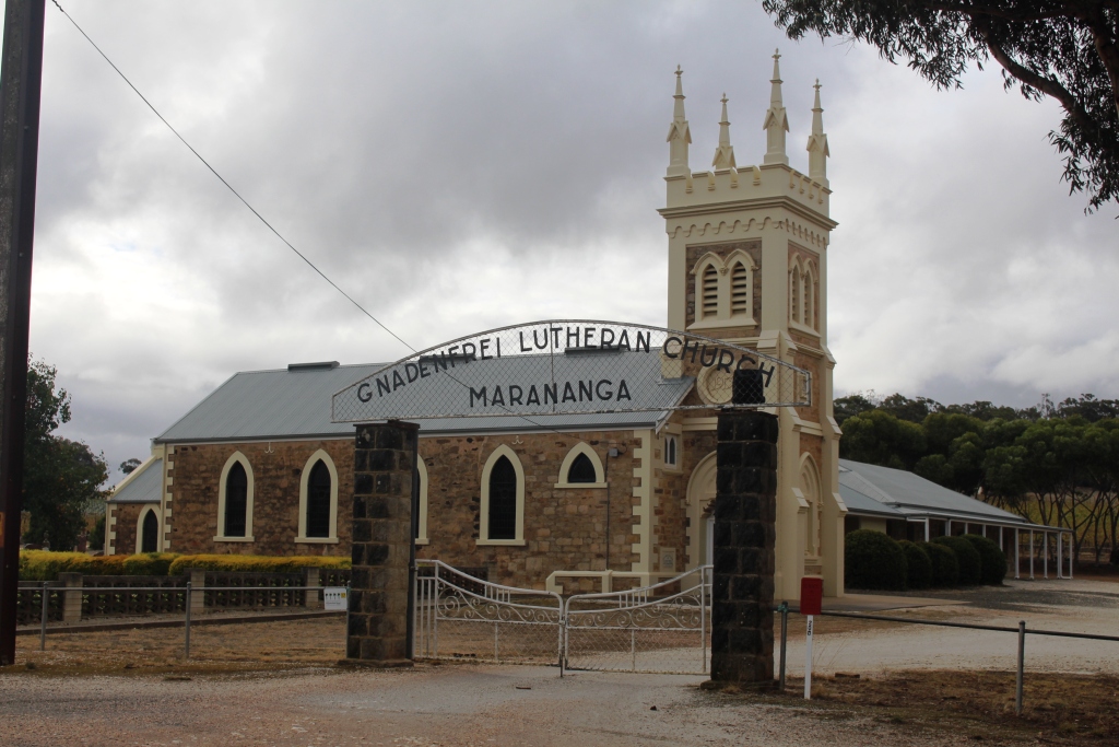
A Lutheran church among the vivyards
Seppeltsfield and saw the Seppelt family mausoleum, a large columned building on the side of a hill, at the end of an avenue of large palm trees. Most of the roads in the area are similarly lined with palm trees.
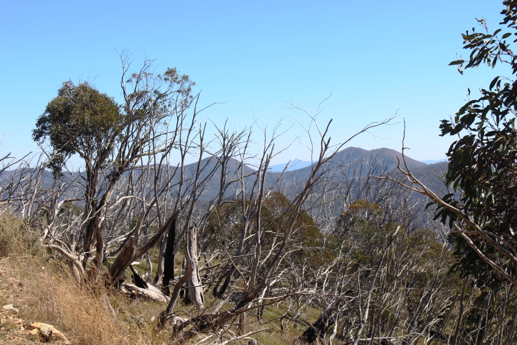
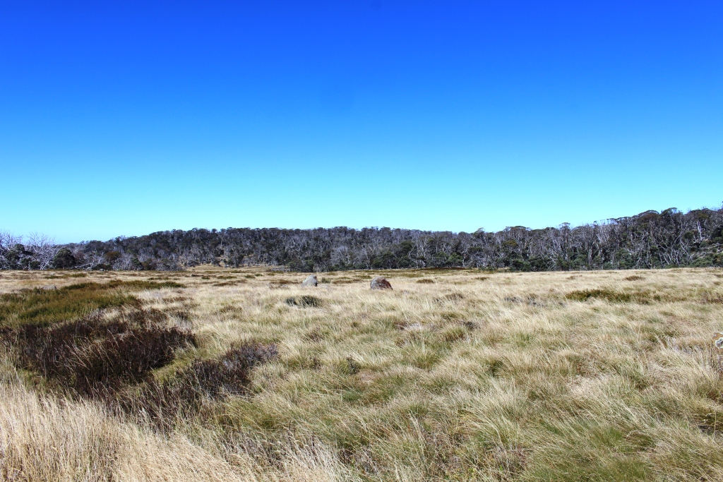
Regular rain showers swept over the area, one of them seemingly appearing each time that I wanted to take a photo. But there were some opportunities for photos, as the illustrations to this blog post attest.

The Seppelt mausoleum
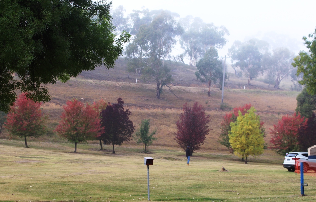
Come Monday morning, we packed up amid periods of drizzle, but not too much wind. The wind returned later to blow frequent rain showers across the flat landscape through which we drove, the dark grey cloud appearing to brush the ground.

Ardrossan jetty
The area north of Adelaide and the top of the York Peninsula are quite flat. We stared out over the same flat coastal agricultural plain that we had driven through on Saturday, past areas of swampy salt bush country and finally into the grain production areas of the York Peninsula. We detoured to visit the town of Ardrossan on the upper east coast, before turning west to cross the Peninsula to our destination at Port Victoria.
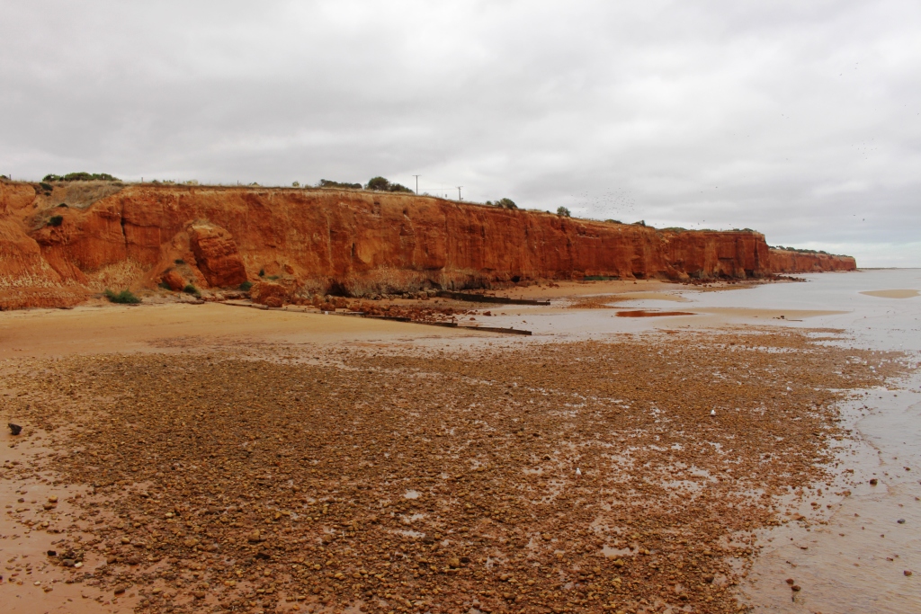
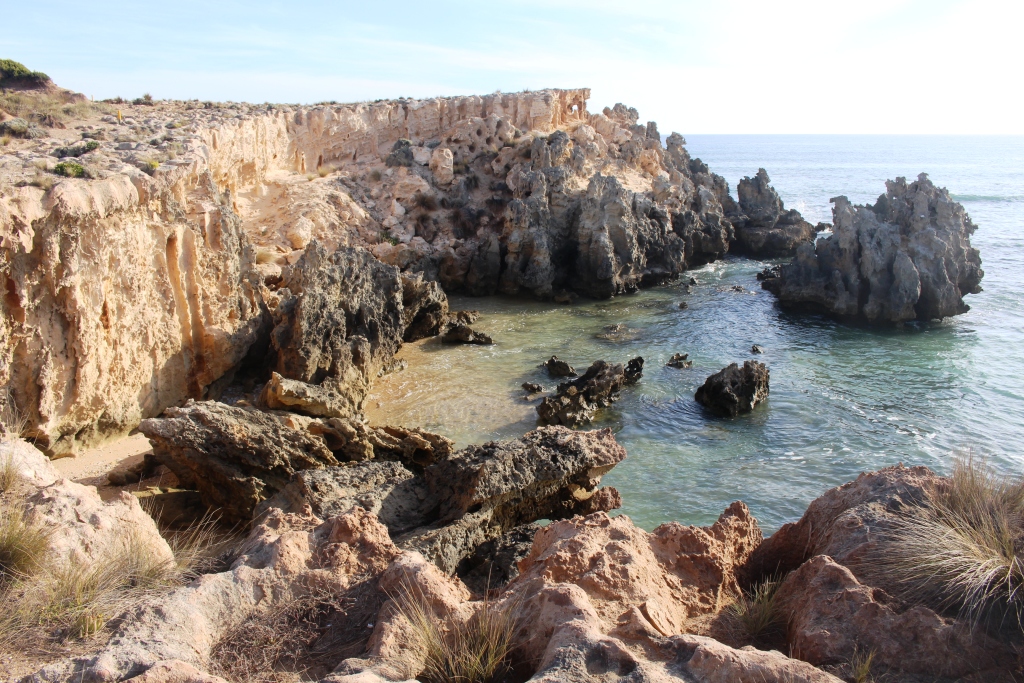
Red cliffs along the shore at Ardrossan
We had camped at Ardrossan about 45 years ago. I remembered a long jetty that is still there, although it doesn’t seem to be as long as I remember it. A second jetty at the grain silos, which I don’t remember, reaches much further to sea to provide deep water access for bulk carriers.
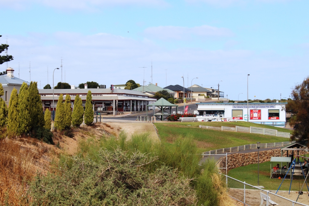
The rain moved on to the east about lunch time. We arrived at Port Victoria to a cool wind from the sea and grey skies, but things looked up later in the afternoon with the sun trying to break through. Expectations for tomorrow are much brighter.
Hotel and general store at Port Victoria
Tuesday started overcast but improved as the day progressed. We didn’t set out on the day’s activities until after morning coffee. Some days require a slow start.
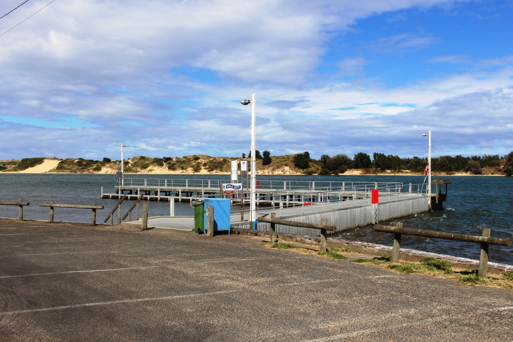
Port Victoria jetty
We took a gravel road nearer to the coast to reach Balgowan. This small town has been discovered by retirees, but in a limited way, as new land seems to be released sparingly, ensuring that it brings a good price and limiting growth in a small town with
Houses overlooking the sea at Balgowan
limited services. Like many towns on this peninsular it has a jetty, launching ramp, pub, general store and a caravan park. Largish quality houses occupy any high ground with sea views. The main leisure activity seems to be fishing. Some towns on the Peninsula have golf courses and bowling greens and, of course, an Australian Rules football ground.
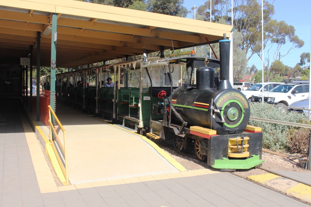
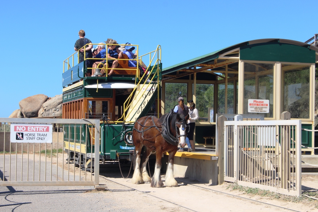
The excursion train at Moonta mining site
We continued on the gravel road until almost to Moonta, our main destination for the day. Moonta is a historic copper town, the heritage of which has been retained in its buildings and a museum. Copper was mined there between 1861 and 1923 during a period when prices for the commodity were high. Wealth and growth quickly followed. Copper development in South Australia closely followed gold discoveries in NSW and Victoria, to where many local men had departed to make their fortune. A shortage of labour resulted.
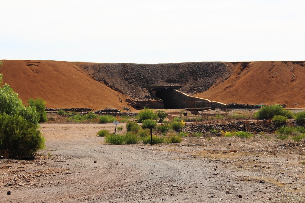
The excursion train passes under an old mullock pile
The need for a work force in South Australia coincided with the closure of copper mines in Cornwall so almost an entire workforce immigrated to the South Australian mining area. Claims are made that as much as 95% of the Moonta workforce were Cornish men and boys. To Cornish people that area was known as Little Cornwall. The traditional Cornish pasty, a staple of the diet of the day, may still be enjoyed in eating establishments in the town, as we proved.
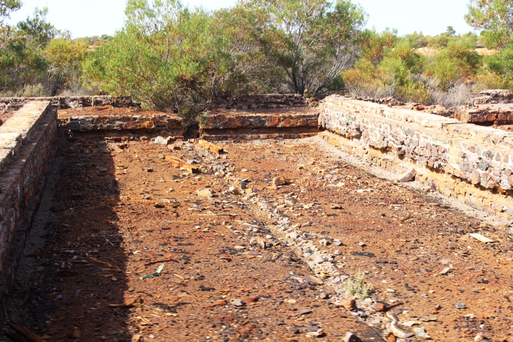
Part of the copper refining plant
It would not be difficult to spend a couple of days examining this town, but we had less than a day. So we decided on a tour on the narrow gauge railway that utilises the original railway station as its starting point. In the same area the original School of Mining has become an extensive mining museum, which time did not allow us to visit.
Copper was initially shipped from the area through the neighbouring port of Wallaroo, but later the area was connected to Adelaide by rail.
The old Town Hall in Moonta is now partly used as a picture theater
For almost an hour the train meanders through the mining area. It is a one man operation. Driver Ian not only drives but changes the points, collects the money and talks. During the entire tour he hardly stopped for a breath. But it was all interesting. He recited facts and figures, most of which we don’t remember, without hesitation.
The train stops at one point at the remains of the main processing plant where details of the very labour intensive process of extracting copper from the mined ore are set out on a wall in storyboard fashion. Stories included that of the discovery of commercial copper in the area being made by an alcoholic Irishman who drank himself to death on the proceeds. That seems to have happened in other places.
An old Methodist (now Uniting) church. Most Cornish miners were Methodists.

A partly eaten Cornish pasty with tomato sauce and cream
The tour completed, we drove back to town to lunch on the traditional Cornish pasty. Part of the ordering process was an explanation of this imported delicacy. We discovered that the traditional Cornish pasty is partly filled with meat and vegetables and partly with stewed apple, in about two thirds one third proportions. Ours were served with salad, tomato sauce and cream. I doubt that those served to the miners included these embellishments.
Houses overlooking the sea at Moonta Bay
With the day quickly ending, we visited the adjacent coastal towns of Moonta Bay and Port Hughes and found another coastal community that has been discovered by well healed retirees, with many modern houses lining the top of a miniature red cliff that seems to be a common feature of the York Peninsula coast.
We returned to Port Victoria on the sealed road, via Maitland.
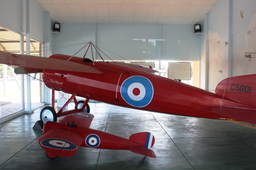
The Red Devil with a replica model at the Captain Harry Butler memorial
The days were improving. Early Wednesday was a bit cold but developed into a great day for our trip to the southern end of the York Peninsula. Innes National Park was our ultimate destination, but first we travelled through Minlaton where we stopped to buy a National Parks pass and to view the memorial to Captain Harry Butler AFC. Butler was another flying pioneer who got his start in England during WWI as an Air Force pilot. Back in Australia and his home town of Minlaton, he was famous for his small aircraft called “The Red Devil” in which he performed aerobatics and provided joy flights. His memorial is at the northern entrance to the town.
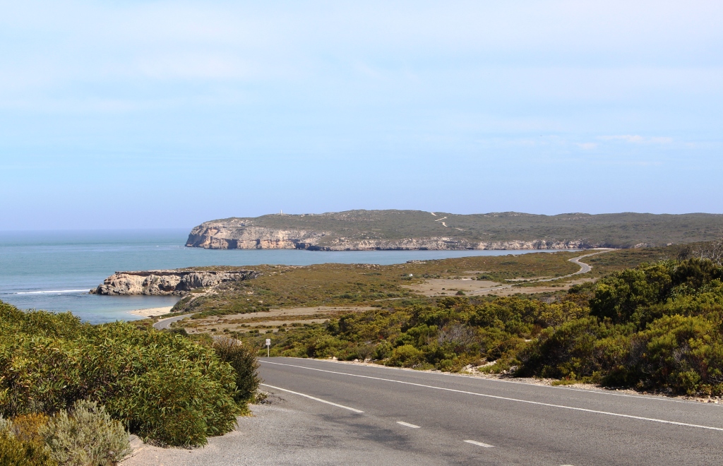
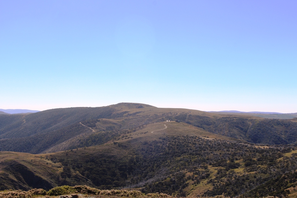
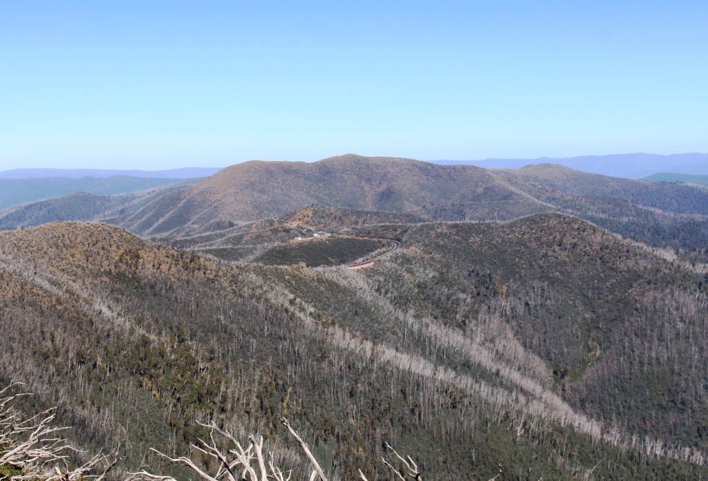
A scene from the road in Innes National Park
The small town of Warooka is the only settlement during the 90 km between Minlaton and Marion Bay, the small coastal town near the National Park entrance. Initially the road runs through fields that produce wheat, barley, canola, legumes and other grains, but as you travel further south the terrain becomes rougher and scrub covered. Sheep and cattle appear at the roadside. The grain fields contain only stubble, as the time for planting has not yet arrived.
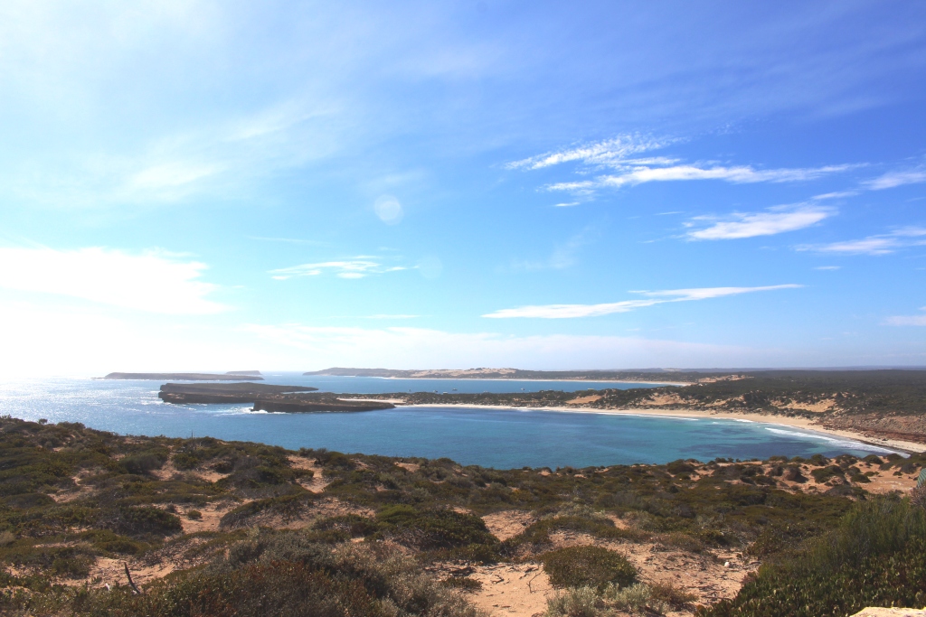
Another view of Innes National Park
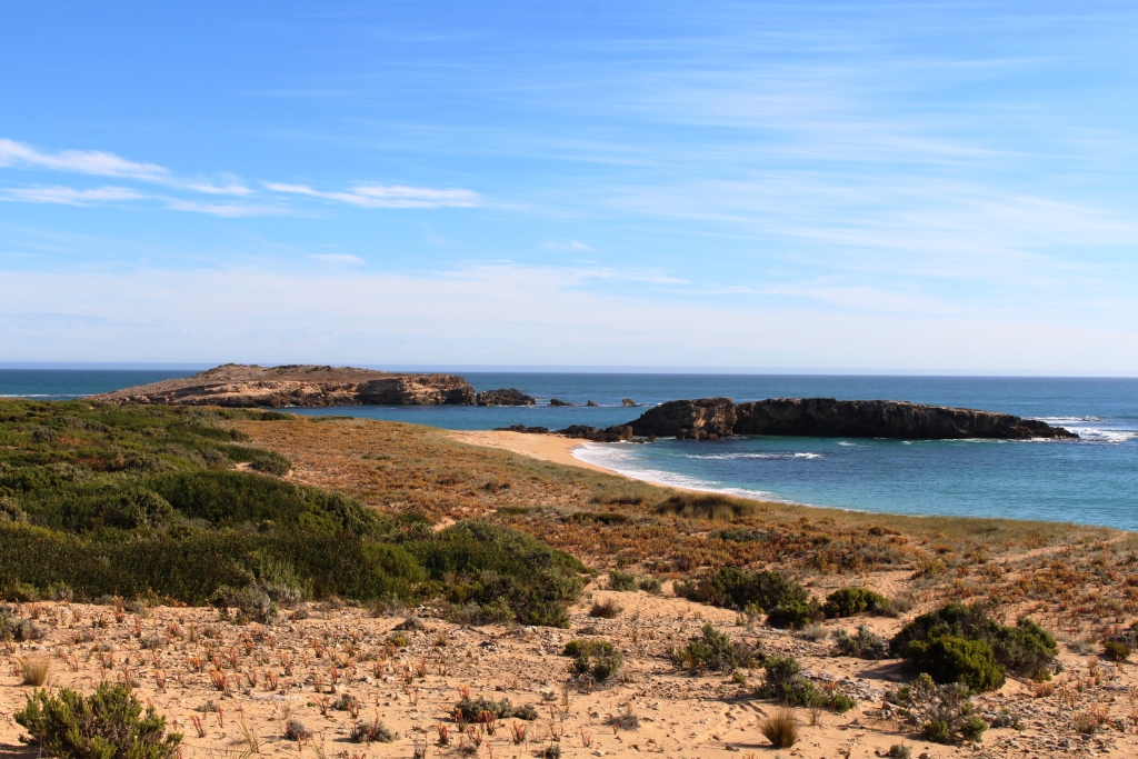
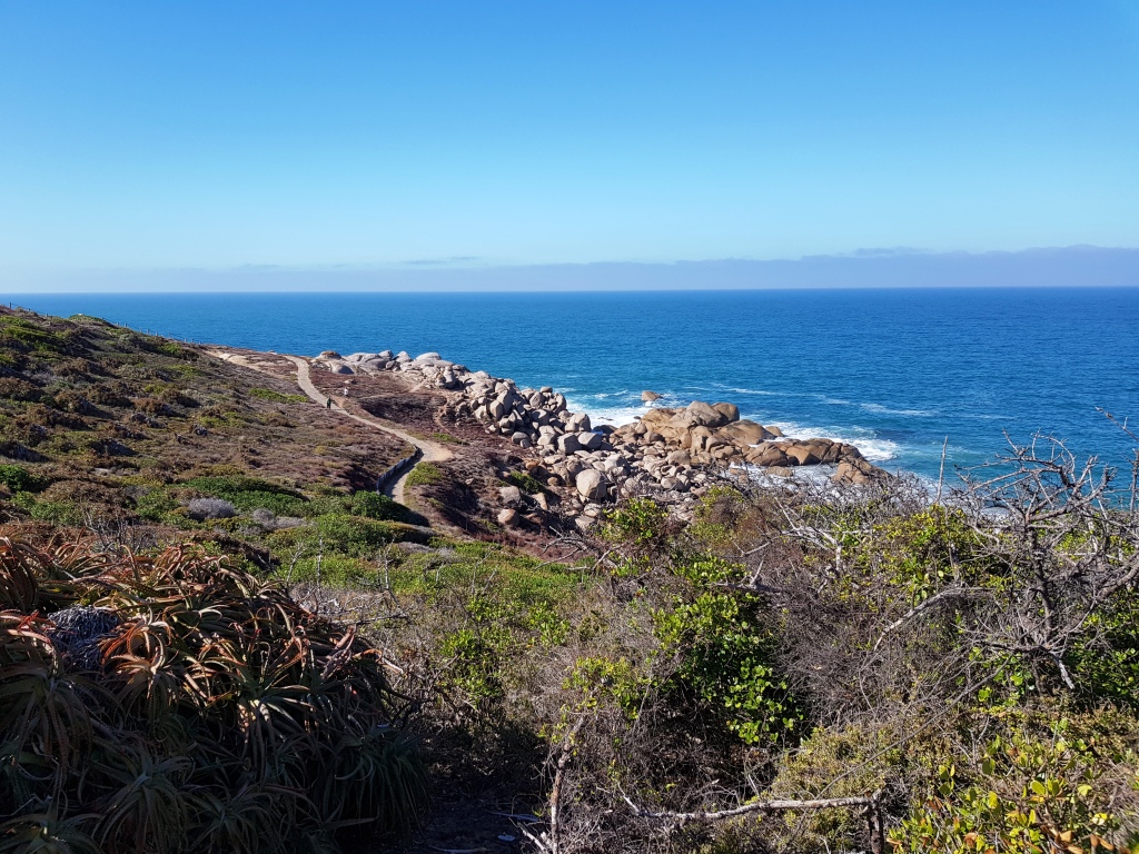
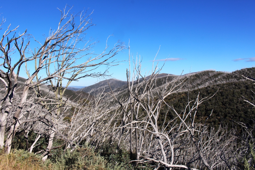
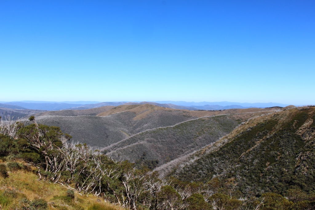
Innes National Park is truly a beautiful place. The southern extremity of the peninsula is rugged with promontories, bays, islands and off lying reefs. Over every hill top and around every corner a new view of headlands, bays, beaches and blue ocean appear, while the hills are blanketed in a hundred shades of green. One day is not enough to see it properly. Just to complete the walks would take several days.
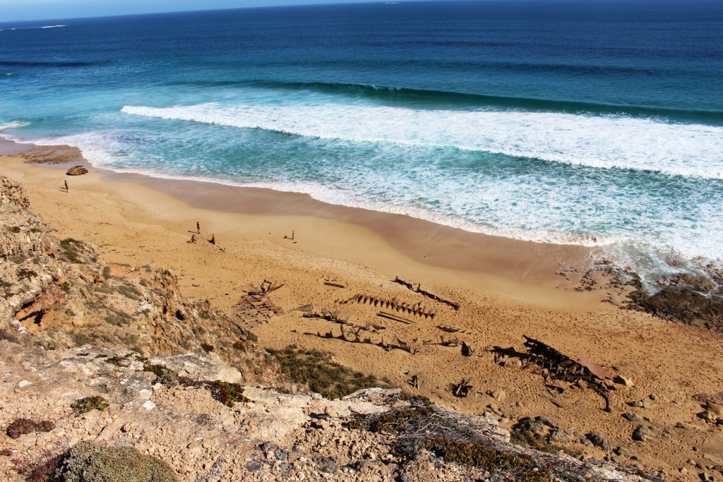
The remains of the sailing ship “Ethel” wrecked on this beach over 100 years ago
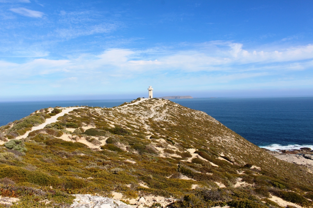
Cape Vincent lighthouse. There are about half a dozen lighthouses in the area
We drove as far as the fishing village at Pondalowie Bay before working our way back to the start via all of the points of interest along the way. It is an area well worth a visit.
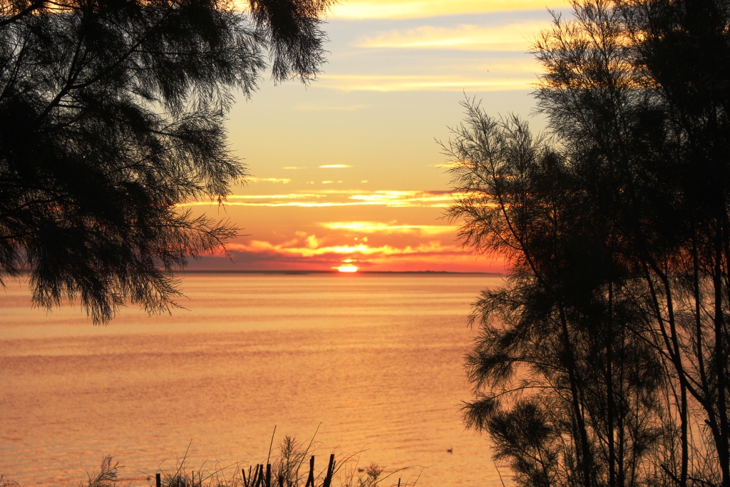
Sunset at Port Victoria
For a partly different route home we detoured at Warooka to drive through Yorktown, finding there a substantial but spread out town and a couple of really pink salt lakes. At this point we turned for home, travelling via Maitland. We arrived back in time to see a rather magnificent sunset.
Overnight, Ruth and I had a serious discussion about the future of our trip. We are aware that if we continue to Western Australia we will be placing ourselves in a position where we would not be available should something happen to brother Winston before the end of July, the time that we plan to
Sunset at Port Victoria
return home. Additionally, I have developed some health issues that need to be addressed by medical professionals. We have plans in place to fly back home for a few days for my quarterly endoscopy but we are now asking ourselves if it might not better to return home and see how things work out.

Later in the same sunset
Thursday dawned the best day for some time. We first drove north to look at the Port town of Wallaroo and the neighbouring town of Kadina. Copper ore from Moonta was originally shipped from Wallaroo before the railway line was built. The port facilities now handle export of much of the grain grown in the area.
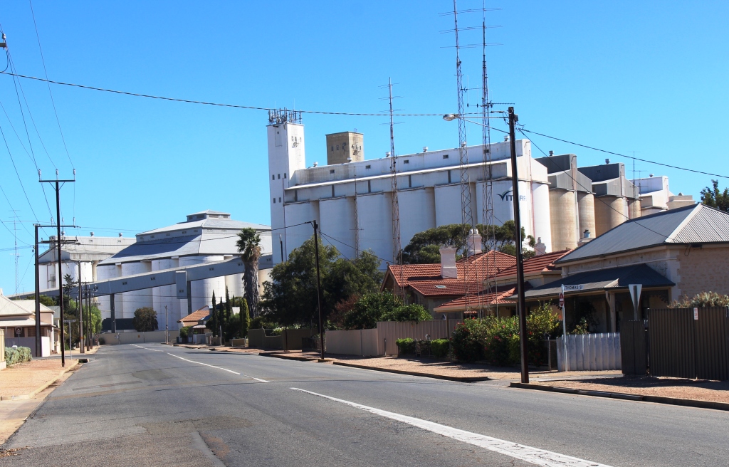
Grain silos at Wallaroo
From Kadina we travelled east towards Clare. The road that we were on, called the Alt 1, runs through endless grain production country, countless hectares of stubble. We did see one farmer ploughing, a huge array of earth tilling equipment and a seed or fertiliser bin behind a huge farm tractor, with a trail of brown dust rising into the sky.
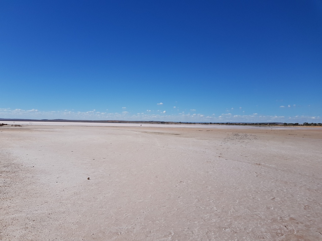
The pink lake at Lochiel
At the tiny town of Lochiel the road that we were on crosses the main Adelaide to Port Augusta Highway. The town is on Lake Bumbunga, one of South Australia’s pink lakes. Pink lakes are salt pans that have a marked shade of pink when the sun shines on them. As we had lunch we watched a succession of tourists walk onto the solid salty surface to take selfies with the pink salt in the background.
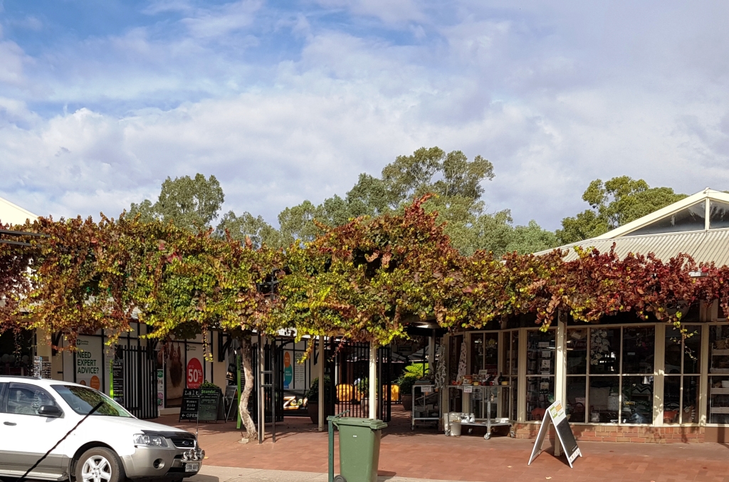
A vine covered arcade in Clare contains a rather good bakery and coffee shop
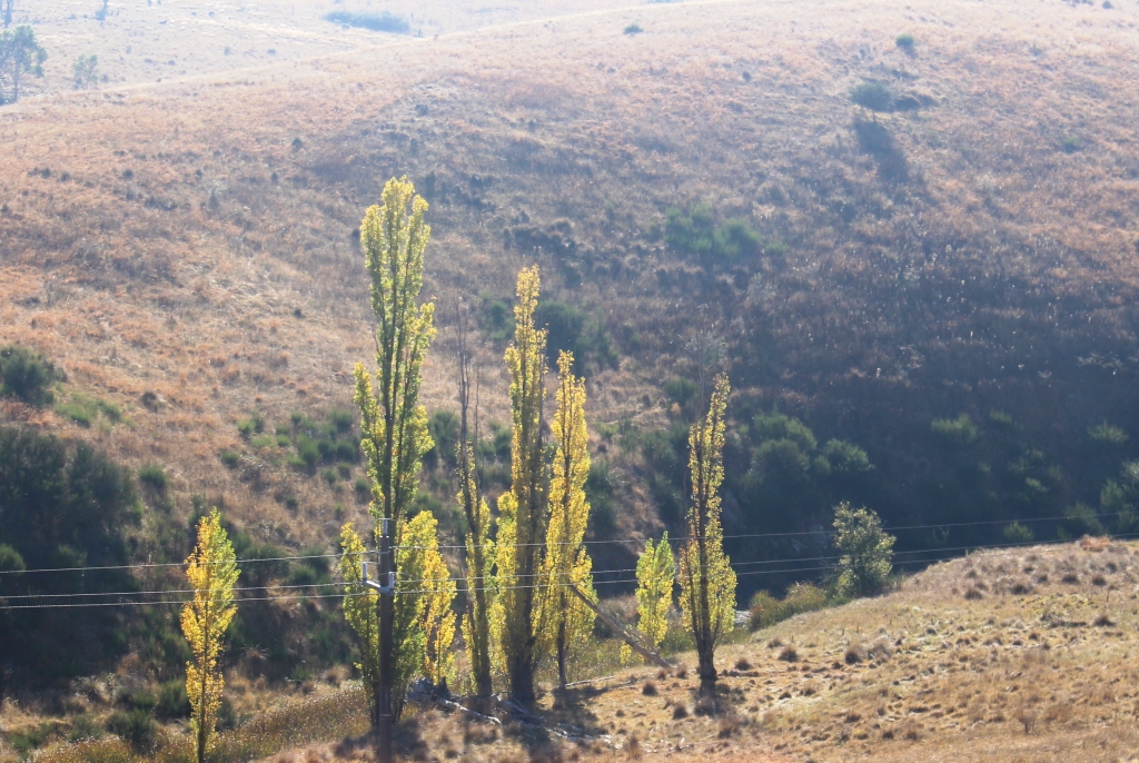
The vineyards start as soon as you top the hill driving into the Clare Valley. The town and its surrounds are most attractive. Many of the vine areas have achieved the russet colour of post harvest autumn and the deciduous trees are wearing their autumn outfits. We spent the night at the Clare caravan park.