Destination Tasmania – Part 10 – Bicheno to Launceston

26th & 27th February 2020

Please Note: Videos covering the material in this blog post appear at the bottom of this post.

When we drew back the drapes that morning the sun was a red orb in a strip of blue on the horizon. But that didn’t last for long. Grey clouds blew in from the west and wiped it all away.

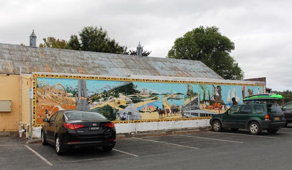
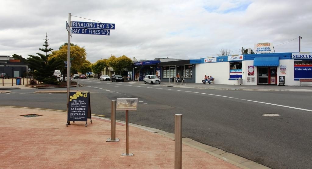
The day’s journey started as a repeat of the drive two days prior, as we needed to go via St Helens to reach the Tasman Highway to Launceston. We only just made it through morning coffee (made on a picnic table and taken back to the warmth of the car) before drops of rain appeared on the windscreen. A few minutes later, as we made our way out of town, we were in drenching rain.

Farming land near Ringarooma

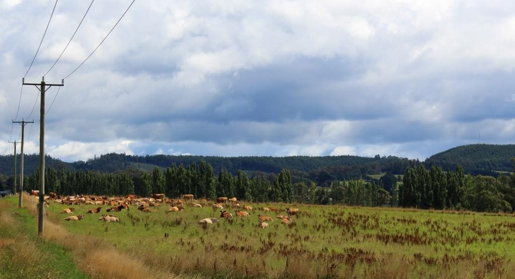
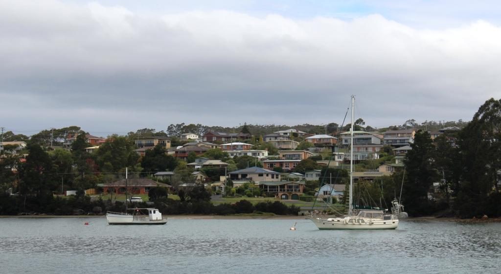
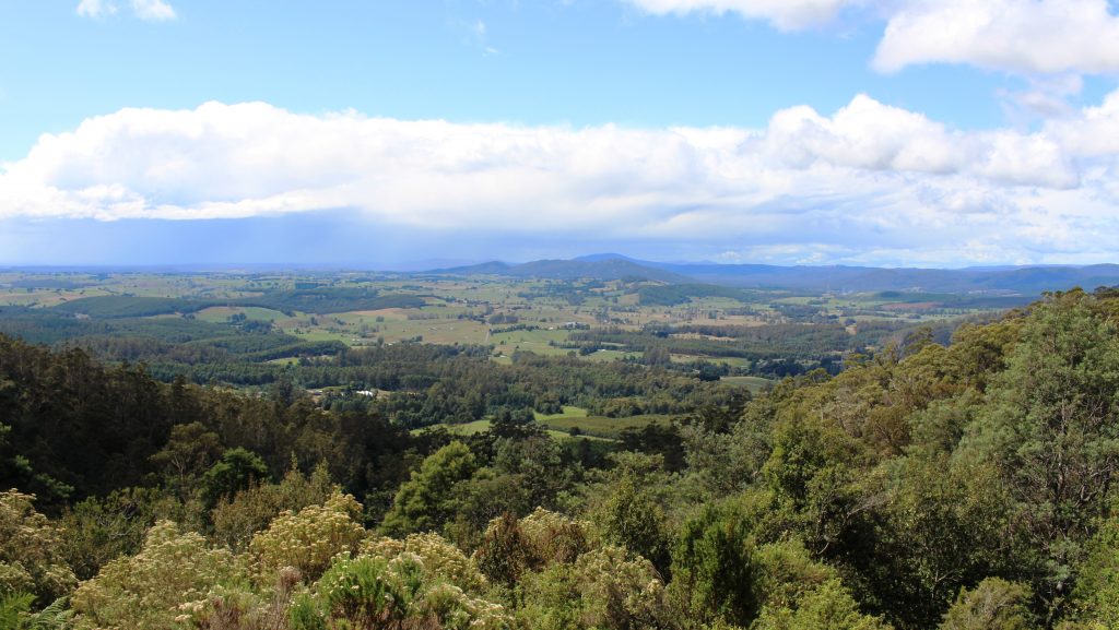
The first part of the drive was mostly beside the sea, with regular ocean views over calm and unruffled waters. The road turns inland at St Helens and meanders its way over mountain after mountain and through valley after valley, until it reaches Launceston. The mountains are almost all heavily timbered but much of the area in the valleys are cleared for farming. We at last saw the emerald green Tasmania of which we had so often been told.

Old cheese making equipment on the veranda of the cafe at Pyengana Cheese

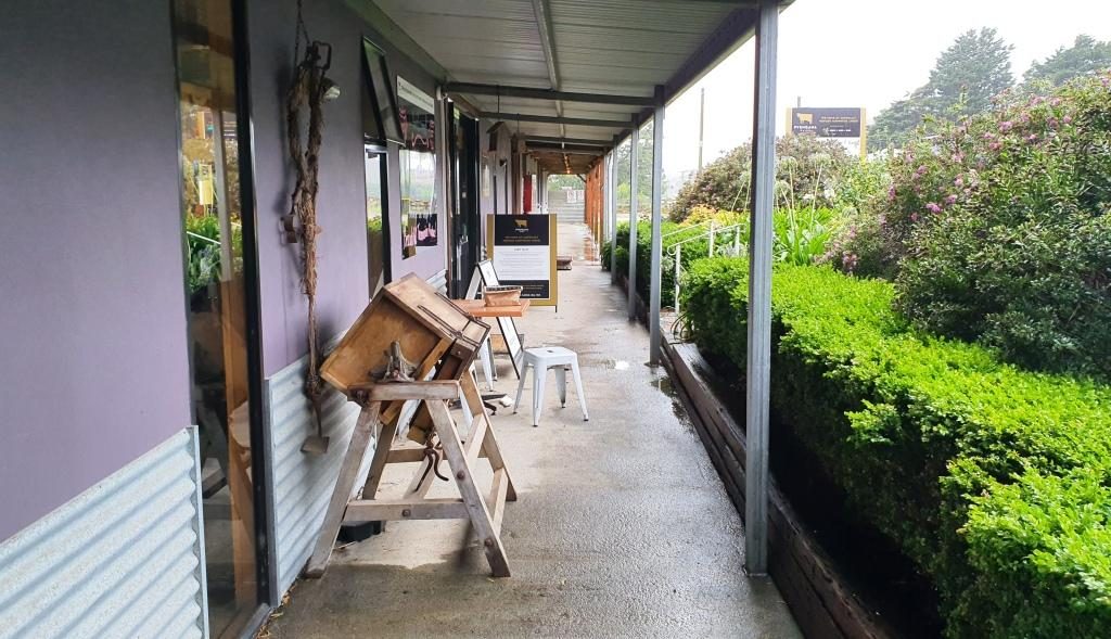
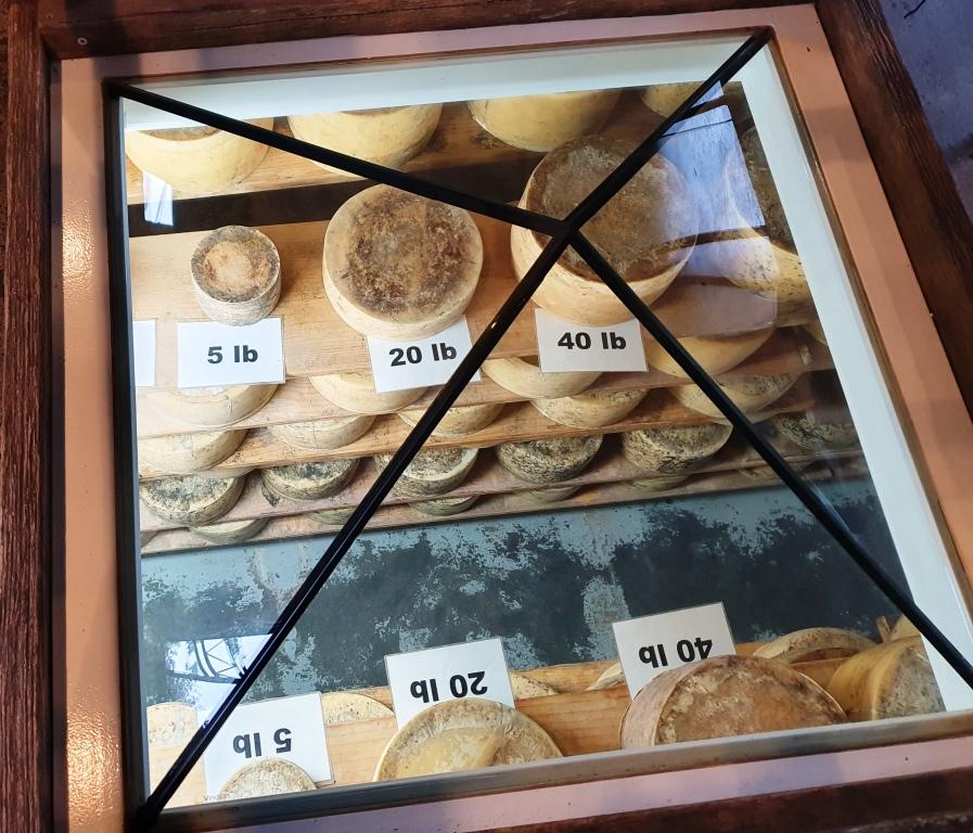
The plan for the day had included visiting a couple of waterfalls and doing some short scenic walks, but the rain put a stop to that. So our first tourist stop was at a farm and cheese factory. Just off the main road at Pyengana, right on the farm, the factory and a retail outlet and cafe attracts a large proportion of passing tourists from this relatively busy highway. We had to line up to sample. We bought two cheese flavours.

The Pyengana cafe

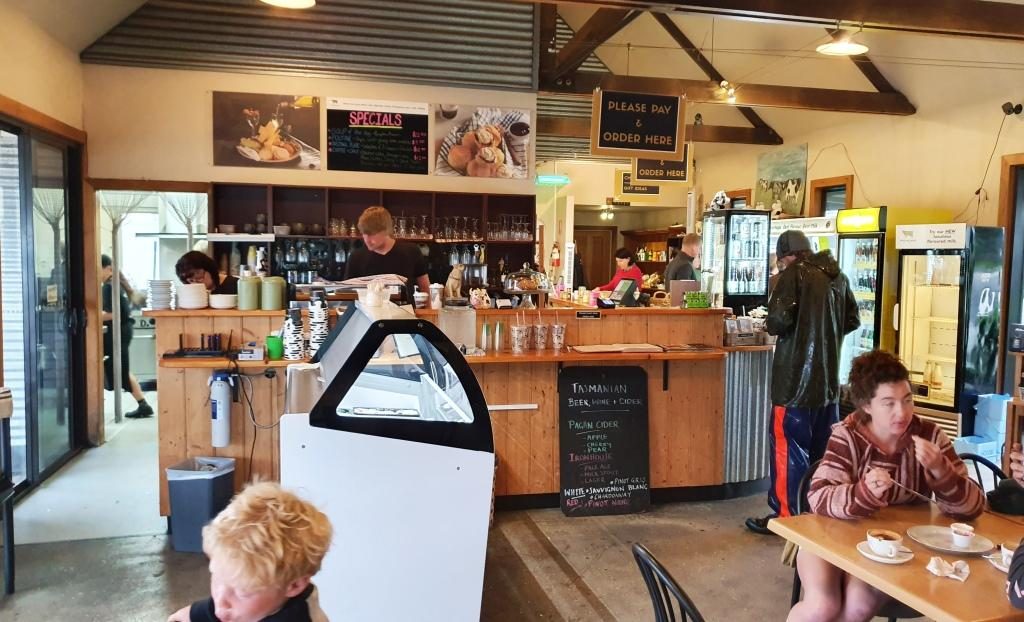
Immediately after we married, Ruth worked in the cheese producing Drouin Butter Factory in West Gippsland. We used to buy full cloth wrapped cheddar rounds, like those displayed at this cheese factory. On this occasion we satisfied ourselves with two small cheese wedges.

Cheeses on display under a glass pyramid in the cafe floor

Further down the road, past the farm, were a couple of waterfalls, but the rain was too persistent for us to see them and stay dry. So we returned to the highway and drove on steadily, because that is the only way to handle Tasmanian roads, particularly in the rain. But the scenery was attractive, even through the rain, so we did not feel robbed.

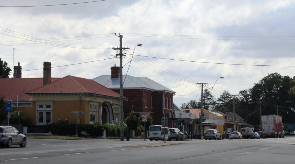
At about midday we reached the old tin mining town of Derby. The tin mines have long been closed but its history and its location on the road to the east coast has kept the town alive.

The mountain bike themed cafe at derby. Mullock heaps in the background.

The housing that remains lines the road that runs through the valley. To our right the hill was a large mullock heap from the mining activities.

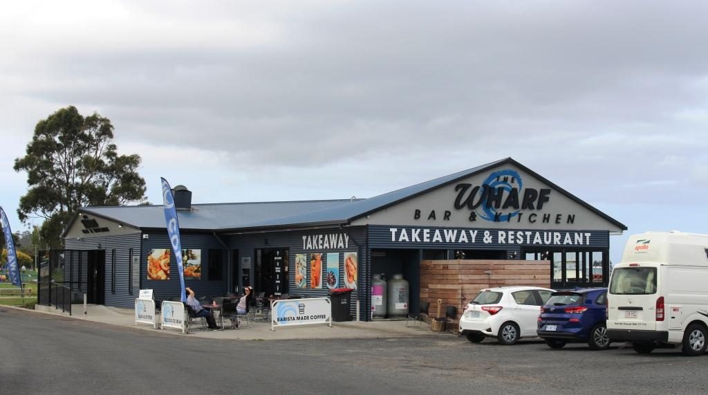
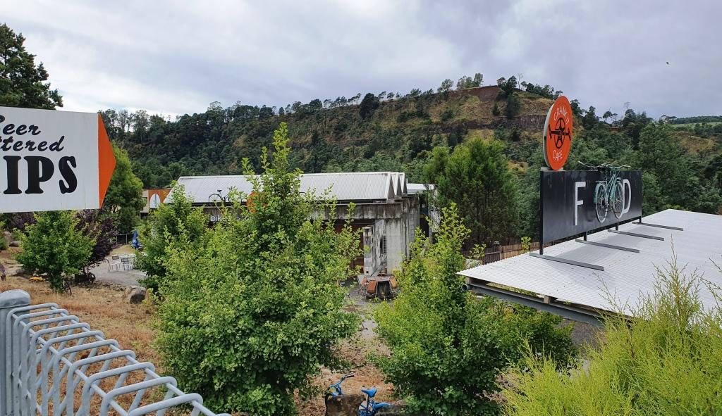
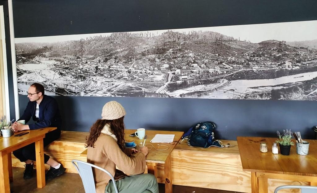
The mining long gone, Derby has reinvented its self.  It has become a Mecca for mountain biking. Bike tracks have been built in the surrounding hills that are drawing competition from around the World. One cafe has committed itself to mountain biking culture, whatever that is.

With rain abated we found the Two Doors Down Cafe (there has to be a story to that name) and enjoyed a pleasant lunch.  An interesting feature of the cafe was a large picture on the wall showing the town in its mining heyday.

The picture of the old town of Derby displayed on the cafe wall

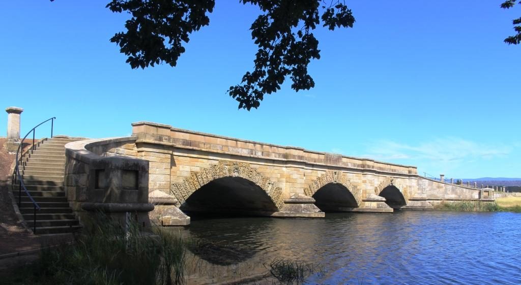
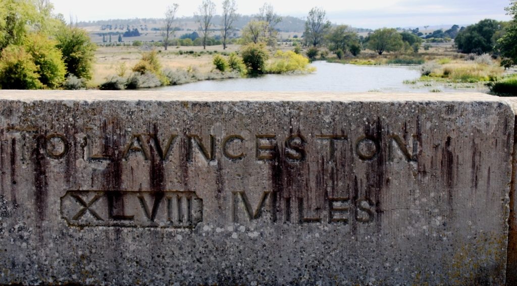
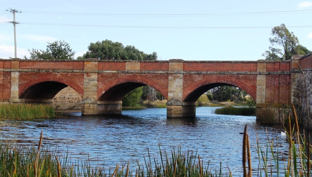
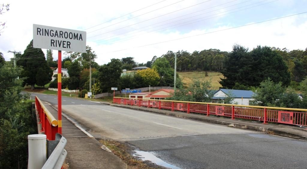
A bit further on we stopped at Branxholme to photograph the Chinese bridge over the Ringarooma River. Branxholme has a strong connection to the history of Chinese miners in Tasmania. It is a key point on what is known as The Trail of the Tin Dragon that links tin mining sites from Launceston to St Helens.

The Chinese bridge at Branxholme

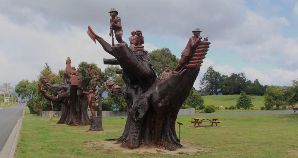
A short distance past Branxholme we detoured on what was not much more than a country lane, towards the town of Ringarooma  to find the small town of Legerwood its carved trees. In 1918 seven trees were planted beside the road at the location that in 1936 became Legerwood, one for each of the locals who did not return from WWI.

Memorial chain sawed tree stump at Legerwood

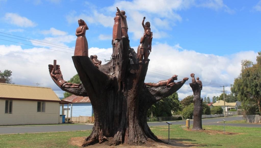
By 2001 the trees has become a safety risk so they were cut back and the stumps were carved into a memorial for each of the men. The carving was carried out using a chain saw. A plaque on a stand at each tree tells the individual serviceman’s story. A rest area has been built behind the memorial trees with space for a few RVs to park overnight.

A different perspective of the carved memorial trees

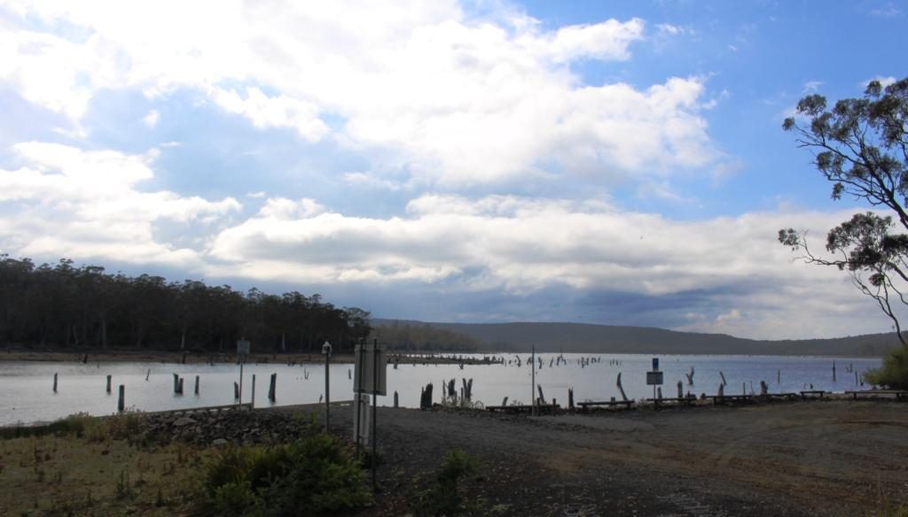
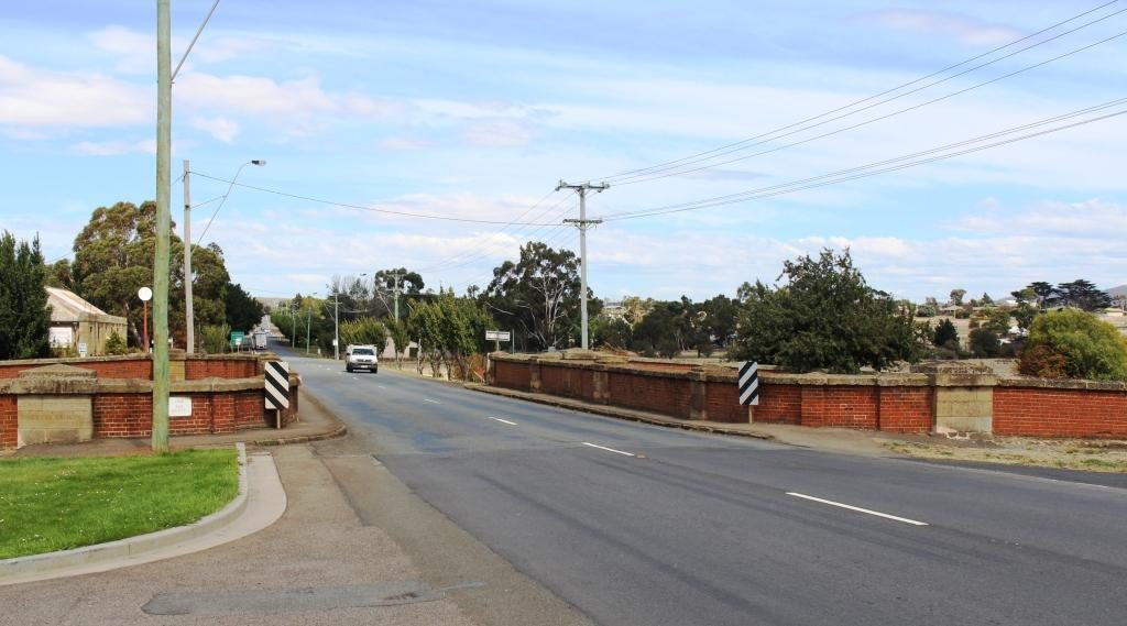
The only other stop was at Sideling Lookout near the summit of the Sideling Range, the last mountain before the commencement of the decent into Launceston. Even with low clouds the view was great. A sign says that on a clear day you can see features on the Bass Strait Islands to the north east.

View back towards Scottsdale from Sideling Mountain

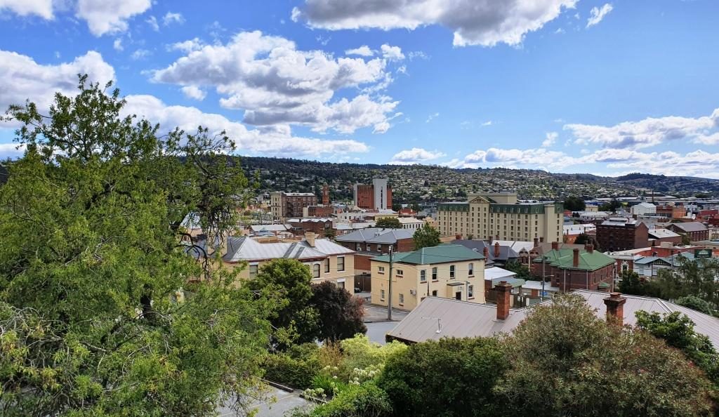
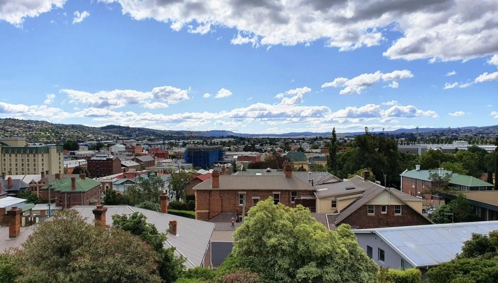
Our Launceston accommodation was at Adina Place Apartments on the steep slope above the Launceston central business district. Adina Apartments is a multi storey block with access to the rooms from a balcony that runs the length of the building, overlooking the road. The views from our windows were to the North and North West along the Tamar Valley.

View towards the north west from our Launceston accommodation
Looking north from our unit. The water in the background is the Tamar River

The first day in Launceston was not very holiday friendly. We started out at 14C and (according to the BOM) feeling like 12C, with a strong and cold north-easterly gusting in from somewhere around the freshly fallen snow. It may have got to 16C later in the day. It was hard to tell.

This historic water tower at Evandale is no longer used but kept full of water to help to preserve it.

We had intended to start the day with a visit Ben Lomond, one of the highest mountain peaks in Tasmania and host to some of the local ski fields, but that had to be scrapped with forecasts of low temperatures, wind and possible snow. The plan would have taken us south of Launceston so we stuck with that plan to visit the other items that we had identified. These were mainly National Trust managed homes. All are open to the public for a fee, but with only a morning to spare we were only intending to look at them from the outside and to drive through the country side.

The Evandale Bakery. It was really a licensed cafe but also fulfilled the role of a bakery.

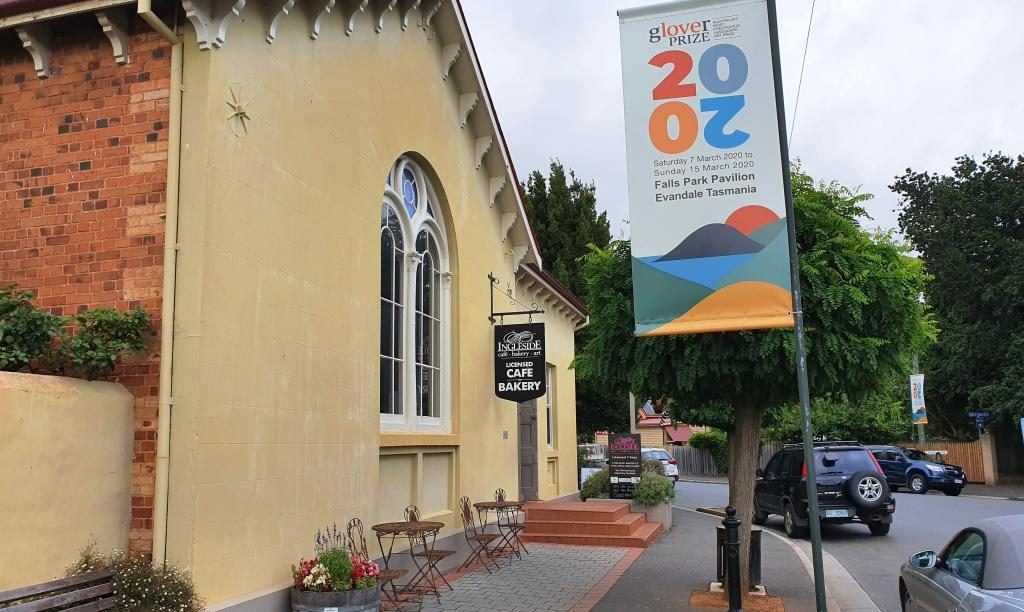
First we drove to Evandale, passing Launceston airport on the way. At Evandale we found a bakery so inviting that we went in for coffee. The warmth was very welcome as was the coffee smell and the wide range of cakes from which to choose.

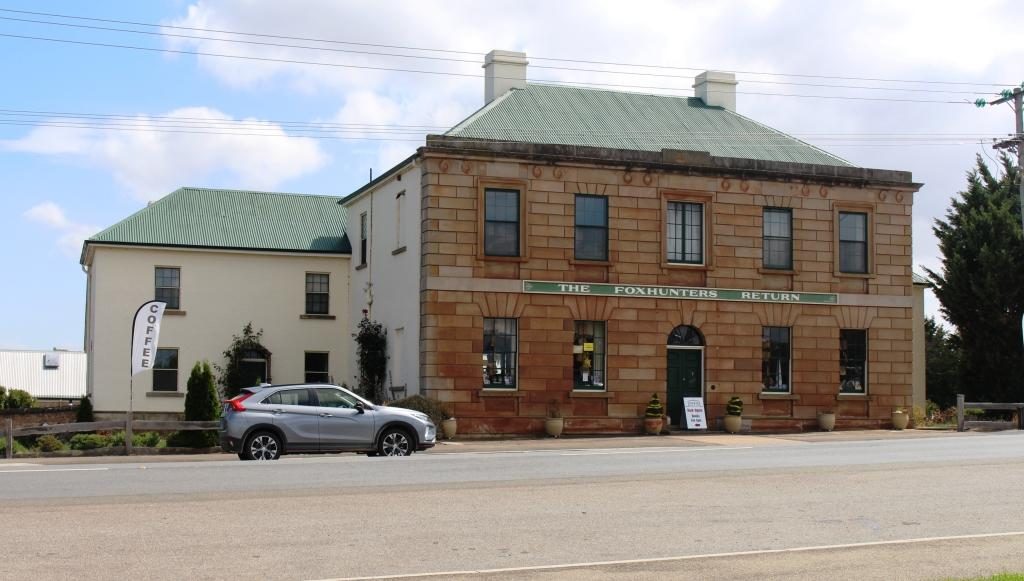
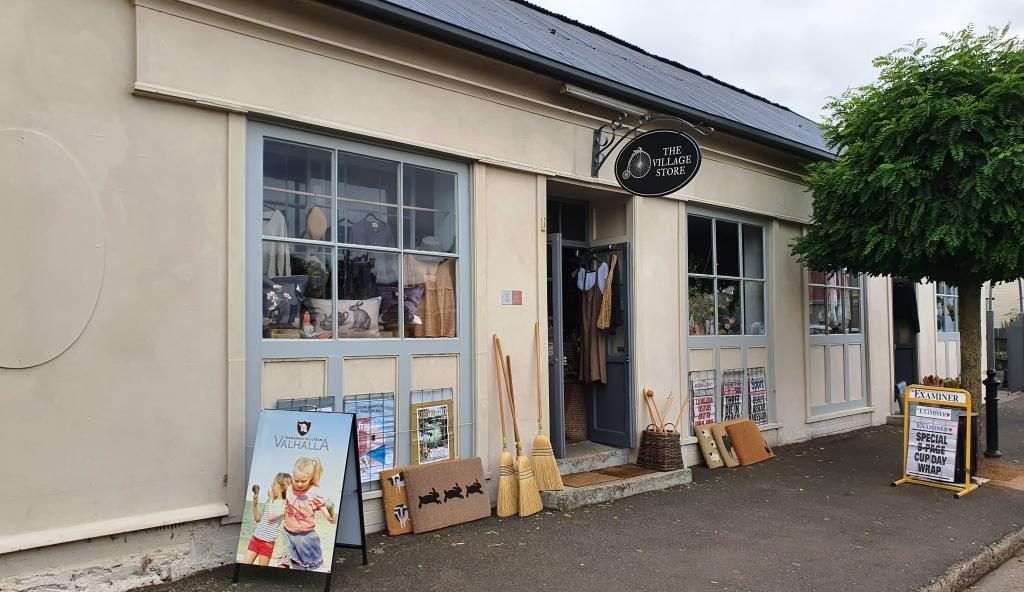
Evandale, on the old Hobart to Launceston road, has almost all historic houses. It is like an English village. If you built a new house I think that you would need to make it look old to fit in.

The Evandale Village Store

About a week before we were there Evandale hosted the annual penny farthing bicycle championships. The races are run over a triangular course in the village. A village fair forms part of the event featuring stalls, music, singing, dancing, vintage cars, historical costumes and a grand parade. It must be quite a day.

Antiques for sale from truly antique buildings.

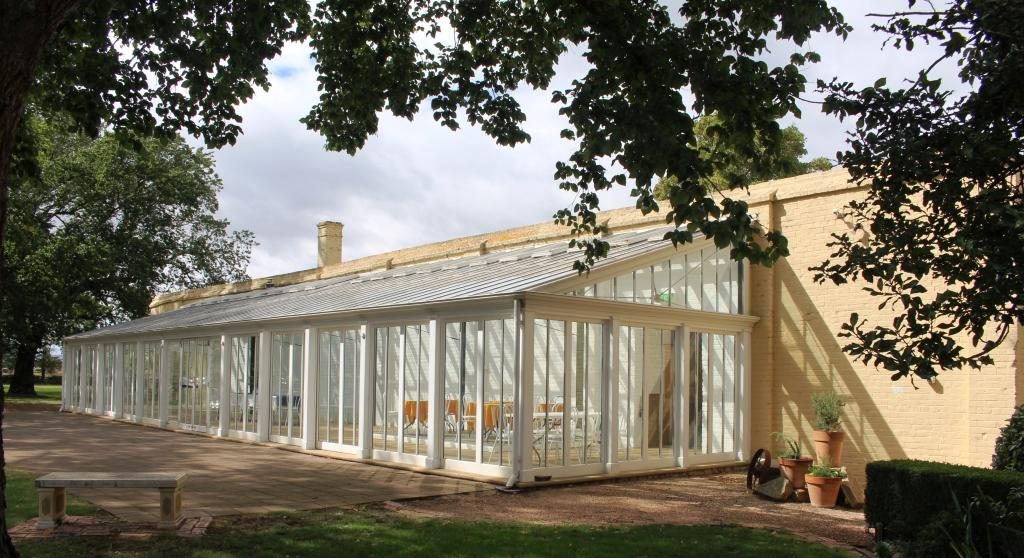
Of the National Trust homes that we visited, Clarendon is the stateliest. It was built in 1838 and must have been the centre of colonial social life in the area. Like its piers it is available to host special functions.

Extensions to Clarendon to accommodate functions such as weddings, balls and commercial promotions.

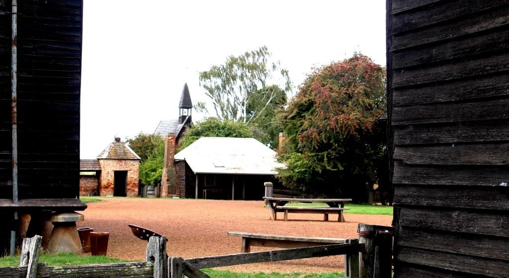
Brickendon and Woolmers Estate, near Longford, were built by the Archer brothers. Brickendon has been operated by the same family since 1824. Woolmers Estates dates back to 1817. Both properties were added to the National Estate in 1910 because their connection to convict history. Both were built by convict labour. The Archer brothers were regarded as humane masters. Jeffrey Archer became a member of parliament and played a role in the ending of transportation.

The visitors centre at Woolmers Estate. This National Trust property hosts functions and offers tourist accommodation.
A peep into the back door of Brickendon Estate. The back door is the tourist entrance.

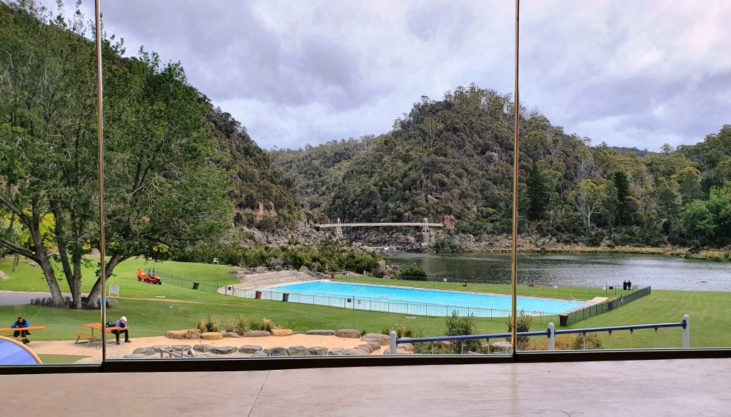
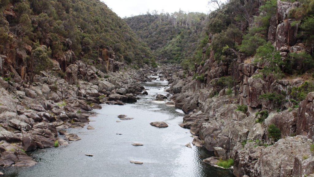
We came back to Launceston to pay a visit to some friends of Briony at their place of business and then made our way to Cataract Gorge. This geographic feature is quite close to the City and surrounded by suburbia.

The cafe at Cataract Gorge with the chair lift overhead.

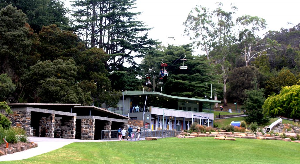
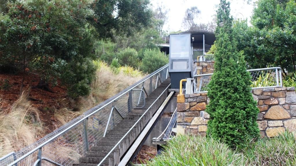
Some of the developments in the gorge have been there for a long time. We remember them from our previous visit. Other features are more recent. A suspension bridge and a chair lift carries people over a small lake and link to various walks. There is a swimming pool, surrounded by lawns, a cafe and a inclined elevator to make it easier for the less mobile to move between the various levels.

Chairlift and pool from the cafe at Cataract Gorge

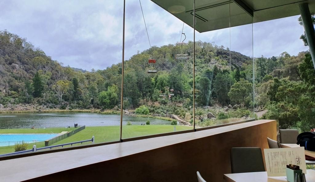
We started with late lunch in the café. Then I went for a walk past the pool, returning via the suspension bridge, while Ruth tried to hide from the cold. We gave the chair lift a miss, as did almost everyone else that day.

Cataract Gorge pool lake and suspension bridge
The South Tamar River flows through Cataract Gorge above the suspension bridge.
This inclined elevator connects three levels at the Cataract Gorge cafe.

We finished with a drive through city streets. Launceston is built in a narrow valley with city and suburbs spreading up the sides of and over the hills. There are streets that look like the plunge of a roller coaster.

By now there was not much of the day left so we returned to our apartment. It was pleasant to be able to turn the heat up on the air conditioner and settle back in warm comfort for a peaceful evening.

Destination Tasmania – Part 9 – The East Coast

23rd to 25th February 2020

Please Note: Videos covering the material in this blog post can be found at the bottom of this post.

There was no sign of Tom or Jane when we departed Windsong next morning but we now know that Jane exists. We heard her voice through the wall. The only sign of life was a group of small marsupials, one of which was peeping through our bedroom window.

We made our way back along the dirt track, through two closed gates, back to the highway and turned north towards Swansea. We passed the small roadside community hall that appeared to be Little Swanport as we headed for the turn off to Coles Bay and the Freycinet National Park.

On the way Ruth’s sharp eyes spied a tourist spot of which I had read. It was the Spiky Bridge. For some reason the builder finished its parapets with sharp stones on end. It is now bypassed by the main road but we drove across, just for fun. The bridge now leads to a farm gate.

The Spiky Bridge near Swansea, Tasmania

But there is a story. The government official who controlled the purse strings for such expenditure was holding out on providing funds for a bridge to span a troublesome stream. A local land owner took the official for a ride in his horse drawn cart and drove over the road through the creek bed at top speed. He proved his point. Money for the bridge was made available. The Spiky Bridge is the result.

The Spiky Bridge was built in 1843. Not bad for almost 180 years old.

Continuing on, we crossed a mountain range and came upon Devils Corner. An extensive vineyard has been established there with vines planted on the lower slopes, reaching down towards Oyster Bay. A three level viewing tower has been provided as part of a visitor facility. The vineyard is well known for its Pinot Noir based wines. Views from the deck are among the best to be had of Oyster Bay and the Freycinet Peninsula.

Devils Bend Vineyard and Winery
The vineyards slope towards Oyster Bay. The ranges of the Freycinet Peninsula are in the background.

After coffee at Coles Bay we headed on into the park to the parking area for the walks to Wineglass Bay (a long walk) and the lookout (a much shorter walk). I intended to have a go at getting up to the lookout although I was a bit daunted by the 600 steps involved. But there was not a parking spot to be had in any of the three levels of the car park. Vehicles that could not find a parking space were parked nose to tail well back along the road towards Coles Bay. We decided not to add to the number fighting for a parking space. It would have been a long walk back just to get to the starting point.

Cape Tourville Lighthouse
View south from the Cape Tourville boardwalk. Wineglass Bay is behind the rear headland on the right of the photo.

Instead we did the short but steep and winding drive to the Cape Tourville Lighthouse and lookout. The lookout is in the form of a board walk in a sort of semicircle around the edge of the cliff top, below the base of the lighthouse. The views south along the east coast are magnificent.

Ricky mountains at the northern end of the Freycinet Peninsula.
Coles Bay Jetty. The Pennicott Wilderness Journeys boat tour to Wineglass Bay departs from here. Mountains on the Freycinet Peninsula in the background.

We returned from the lighthouse to Coles Bay for lunch. At the bakery I finally found a scallop pie. It met expectations.  Not bad at all!

There is only one road in to Coles Bay so we retraced our steps to the highway and travelled another 12 km to Bicheno. Our accommodation for the next three nights is a ground floor studio apartment in an older two story house on the southern edge of town, overlooking the ocean.

The following day, Monday, the sun had fled. It was cloudy with that persistent Tasmanian cool breeze. The order of the day was a drive up the coast to St. Helens. But first some medical needs.

I’d had a sore on the side of my head for all the time we had been in Tasmania.Since I have had skin cancers taken off my head previously, we thought it should be checked. Or what if I was growing a second head?  So, I sought medical advice. It was just a persistent boil. The doctor squeezed it out (Ouch!) and prescribed some antibiotic cream to for me to apply.

Ruins of an old port building and The Gulch at Bicheno.

That got rid of most of the morning. We spent the remainder of the morning looking around Bicheno. The main town is a little way back from the water but the small harbour is worth a visit. It is the base for lobster fishermen who ply this rocky area of coast. The small harbour, known as the Gulch, is a narrow and deep channel between a large rook and the mainland, with another rock island of similar size close in and to the north east.

Fishing wharf and the south end of The Gulch

The buildings at the wharf include a very busy fish shop with dine in tables and a substantial take away business. Above the harbour, at the road side, a red building houses the Lobster Shack which features, as its specialty, the local lobster.

Seafood cafe and take away at The Gulch, Bicheno

After lunch (not at the Lobster Shack) we embarked on the activity of the day. St Helens is about an hour further up the coast. The town is located at the furthest point inland of the rather long Georges Bay. The bay runs to north east to south west and is contained on its south eastern side by a long and broad peninsula, largely composed of sand. The town of Akaroa and the small wharf at Burns Bay are at its north eastern end.

The fishing boat wharf at Burns Bay near St Helens, Tasmania

The first 10 km of the drive was along a decent road lined with houses, some of which enjoyed sweeping views of ocean and bay. Beyond the end of the road at the jetty the coast continues around to St Helens Point. The scenery is very attractive with white sand and large rocks, many of which are partly covered by red lichen.

Rock pool surrounded by lichen coloured rocks.
Ocean south of the beach near St Helens with St Helens Island in the distance.

We drove through St Helens and on the extra 10 km to Binalong Bay, mainly because Binalong Bay marks the southern end of the long series of indentations into the coast known as the Bay of Fires.  The bay was named by Captain Tobias Furneaux in 1773, because of the many fires that he observed along that strip of coast.

View north along Bay of Fires from Binalong Bay

The Bay of Fires runs all the way from Binalong Bay to Eddystone Point. That is 61 km by road but probably about 35 km in a strait line. The southern headland is formed by huge boulders with many smaller boulders surrounding them. Their unique feature is patches of rusty coloured lichen, like those that we saw at Burns Bay.

Lichen covered rocks at the headland at Binalong Bay make for a very pretty picture.
A mural on the side of a building in the main street of St Helens
The turn to Binalong Bay turn in the main street of St Helens

St Helens has a substantial fishing fleet. Oyster beds are located in many of its bays and inlets. It is the largest town on the east coast of Tasmania.

Houses over look Georges Bay and moored boats at St Helens
Fishing boats and wharf at St Helens
Tourist facilities at the St Helens port include eateries

The only other town that we drove through, both coming and going, was Scamander. It is located where a stream, which cuts the town in half, also cuts through the sand to reach the sea. Like every town along this stretch of coast, where hills overlook the sea, they are covered by houses built by those seeking that magic ocean view.

For the first time in Tasmania we were seeing green fields that were not the result of irrigation. It is mostly sheep country but vineyards regularly appear by the road side, many with cellar doors and restaurants. Tourism is as important to this part of Tasmania as to any other. The upper east coast is a very comfortable drive from Hobart and has a superior climate. Grey nomads and not-yet-grey backpackers are there in considerable numbers.

We used our second day at Bicheno to travel inland to see the area that we missed by not travelling directly between Hobart and Launceston. The route took us south, back past the road into Coles Bay and past Devils Bend. The road that we were seeking is called the Leake Highway. At its western end, it joins the Midland Highway just south of Campbell Town. About the midpoint of the morning drive is Lake Leake, from which the Highway takes its name.

Lake Leake at less than full capacity

The lake has tourist facilities, so we followed the 7 km of dirt road to the picnic area. It is a smallish dam that appears to hold water for release into a larger dam. The area seems popular with fisher folk and deer hunters. There is a sort of lodge/hotel adjacent to the retaining wall of the dam.

Another Queensland registered vehicle pulled in. We spoke to the occupants, as you do. They were a Redcliffe couple caravanning around Tasmania.

A view of Ross Bridge from the North. The bridge carries traffic over the Macquarie River.

We drove on to Campbell Town and turned south to the small historic town of Ross. The convict built bridge over the Macquarie River at Ross vies with the bridge at Richmond in claims of design and age. Richmond wins at 1825 but Ross is not far behind, built just eleven years later. The Ross bridge has a greater amount of intricate stone work.

Bridge parapets were engraved with distances. The distance to Hobart is shown on the opposite parapet

Ross has been bypassed by the highway. The town does not appear to have been adversely effected by the change. The streets are wide and lined with British Elms. Every building in the main street is old, many historic. Businesses operate from historic structures and people live in houses getting on towards 200 years old.

The Uniting Church at Ross viewed from the Ross Bridge.
The cenotaph at Ross

Ross has a wool centre building that tells the story of wool production in Tasmania and offers a range of woollen clothes for both ladies and men. There are samples of unprocessed wool and information on the development of merino sheep in Tasmania. Wool is still a vital product to this area. We drove past many flocks of sheep grazing on the pastures. The grass was not as lush as we had seen the day before but greener and more plentiful than in the west and highlands.

The Man O’ Ross Hotel (1835)

We found a bakery, one of two in town. Our choice was offering both scallop pies and “the world’s best vanilla slice”. And coffee! So the decision about lunch was easy to make. We chose the older establishment. It was the original bakery and flour mill. The old mill building is now tourist accommodation.

We sat in the shade of the tree to demolish our pies and vanilla slices
An old house with bicycle hire next door.
Ross Post Office, built in 1889 is a relative newcomer to Ross’ list of historic businesses.
Cupid’s Nest B&B in the main street of Ross, Tasmania

We then drove back to Campbell Town, about 10 km north. Yet another historic bridge carries highway traffic over Elizabeth River, a tributary of the Macquarie. This one is known as the Red Bridge and was convict built in 1838. Like the Ross Bridge, the Campbell Town Bridge assisted the flow of traffic between Tasmania’s two major centres and was on the same road until Ross was bypassed.

Campbell Town’s Red Bridge was built in 1838.

The Red Bridge at Campbell Town carries the Midland Highway over the Elizabeth River.

Campbell Town is substantially the larger centre and has a greater amount of more recent construction as well as renovated and modified buildings. But a great number of historic buildings remain, mostly still in use. We could have spent more time as there was more to see.

Part of this old hotel is now a book shop.

We returned home via the Heritage Highway that follows the Fingal Valley and a variety of rivers and creeks through to Conara, where it meets the Midland Highway. Then through Avoca, Fingal and St Marys. The road then crosses the coastal range over Elephant Pass on a narrow, steep winding route until it meets the coast highway about 17 km north of Bicheno.

It was quite a varied and interesting drive. For much of the distance we were running beside and continually crossing a railway line that showed evidence of use. At Fingal we saw a coal washing plant and a bit further on the turn to a colliery. Question answered.

Between Bicheno town and port a rocky hill rises with a lookout on top, which must have great views all around. I am left with this assumption unproved because after a full day, with much walking, I lacked the energy to climb it.