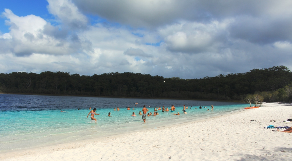
Our association with Fraser Island has not been close but it has been long. We first visited almost 40 year ago. We were on holiday from Melbourne towing an early model Jayco Swan wind up van. We did the Fraser Island tour from Urangan. In those days a passenger boat took tourists across to McKenzie wharf where the tour operators kept a covered truck with seats running length ways along its tray. We jolted over sand tracks to see the main sights, including Lake McKenzie, Central Station and various other points of tourist interest.

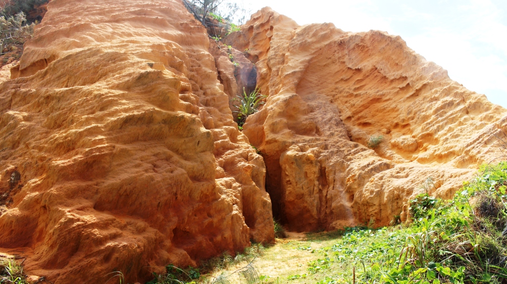
A final look at The Pinnacles
Then, about 25 years ago, with two mates, in my 28 ft yacht “Aegis”, I set out for Lady Elliott and Lady Musgrave Islands, which are like a couple of full stops at the southern end of the Great Barrier Reef. By the second night we were off Sandy Cape at the northern end of Fraser Island. There we ran into a night of storms. That was challenging but not much fun. Late the next day we encountered a 40 knot northerly gale that blew us all the way back to Mooloolaba. We abandoned our plans and came home.
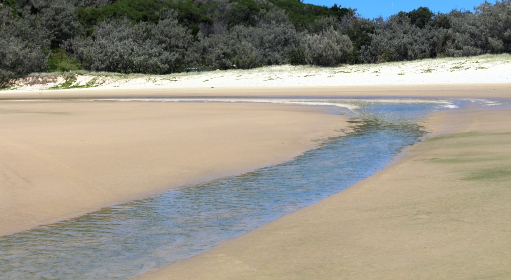
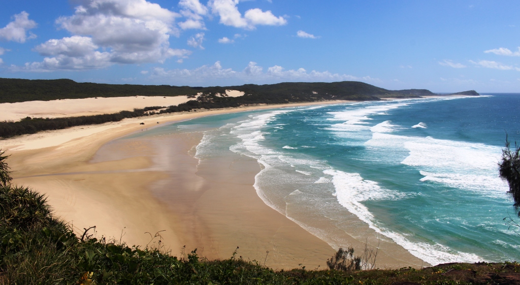
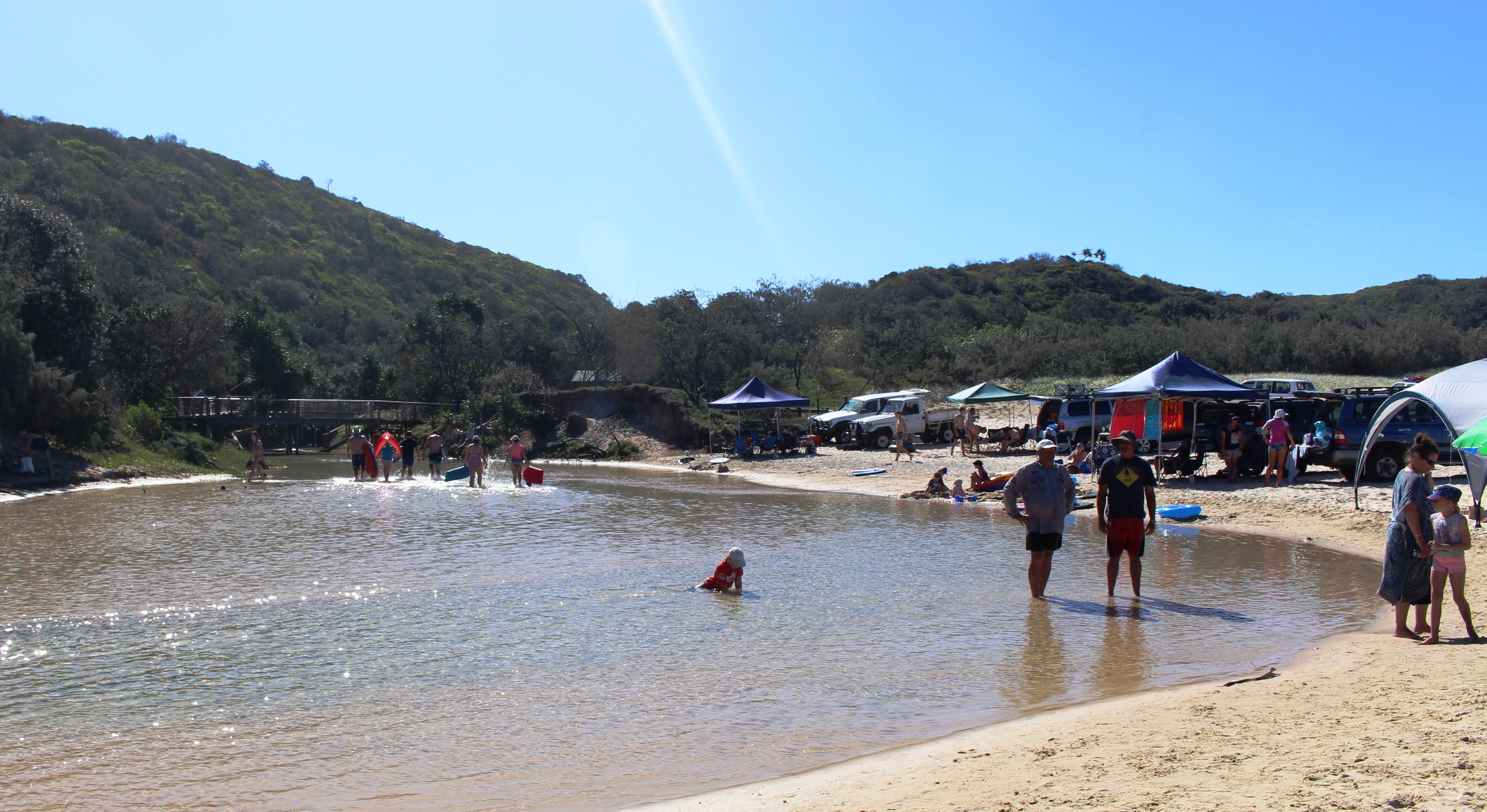
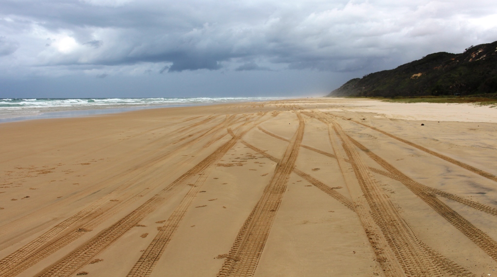
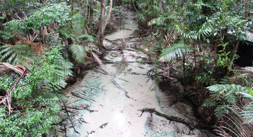
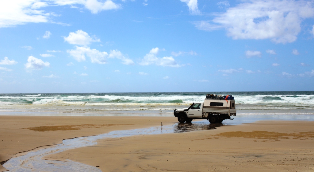
A fresh water stream makes its way across the beach to the ocean
The third visit was about 20 years ago. We came with friends and left our car at Urangan and travelled to the island in the back seat of their short wheel base Pajero. We stayed two nights at Kingfisher Resort, spending the intervening day being driven across the island to the eastern beach.
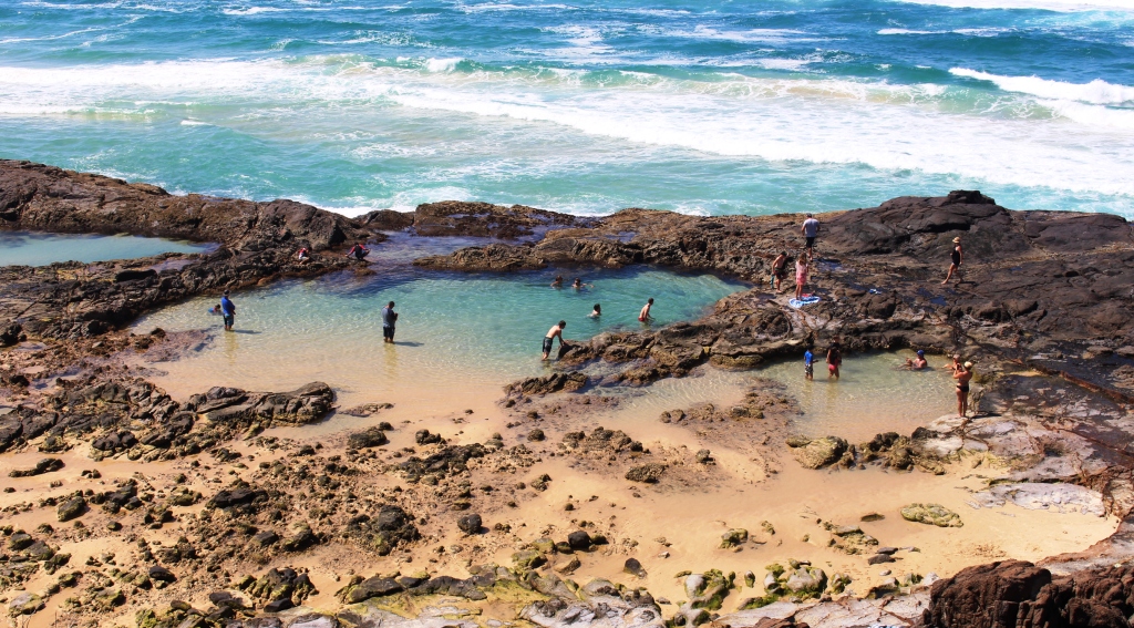
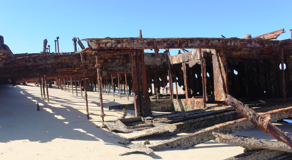
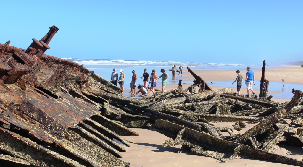
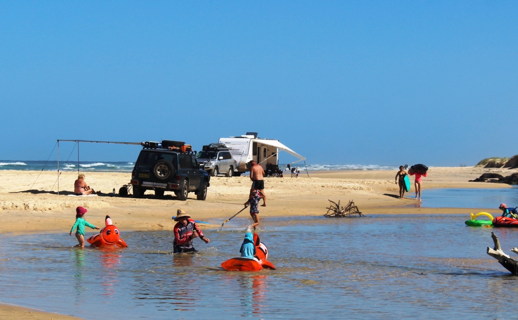
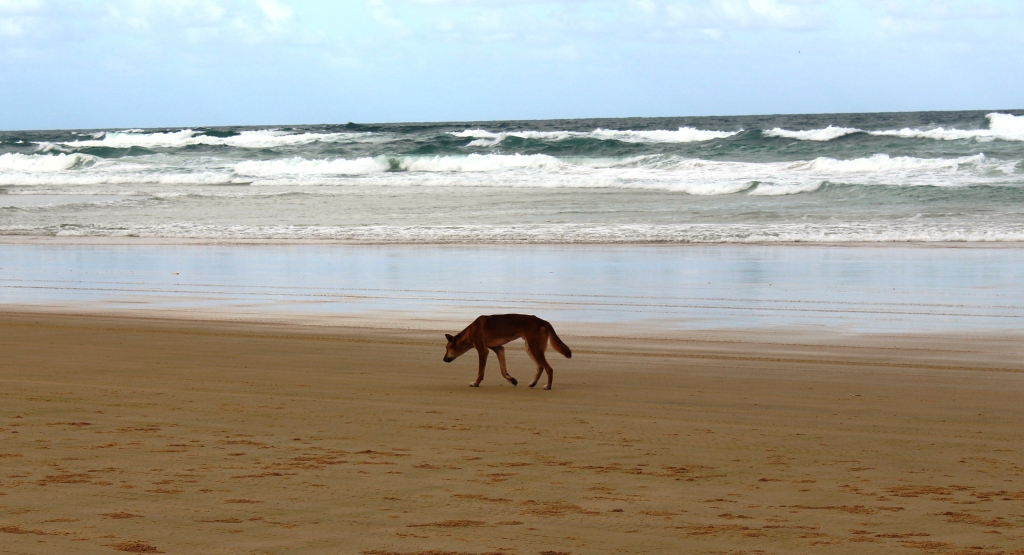
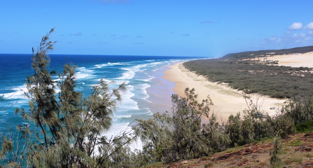
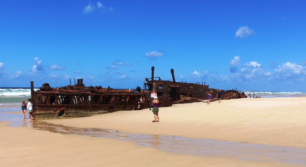
The first tour didn’t reach the beach and from the yacht the beach was a narrow strip of white against the green of the island’s vegetation. So, on this trip, we had our first introduction to Eli Creek, SS Maheno and Indian Head. As I recall, we had to reduce tyre pressures to get around Indian Head.
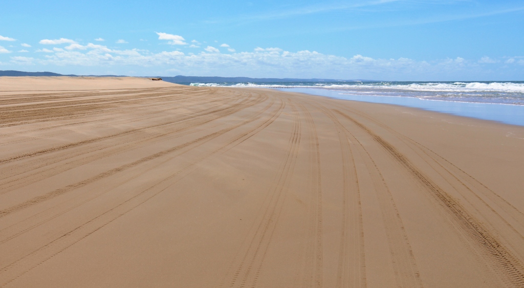
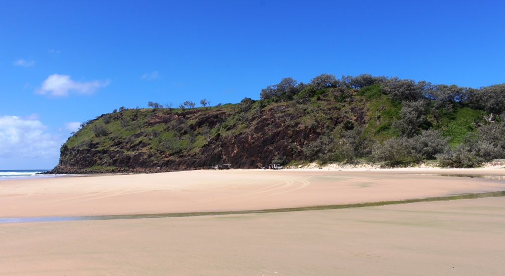
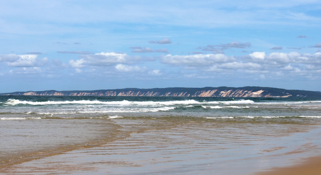
A last look back up the beach
And so, our fourth trip had reached its last day. Check out time was 10.00 am but we had to wait for the tide to recede a bit before starting home. So, while we waited, we spent most of the $20 refunded on the deposit on the amenities key on coffee.

Part of the bistro at Happy Valley
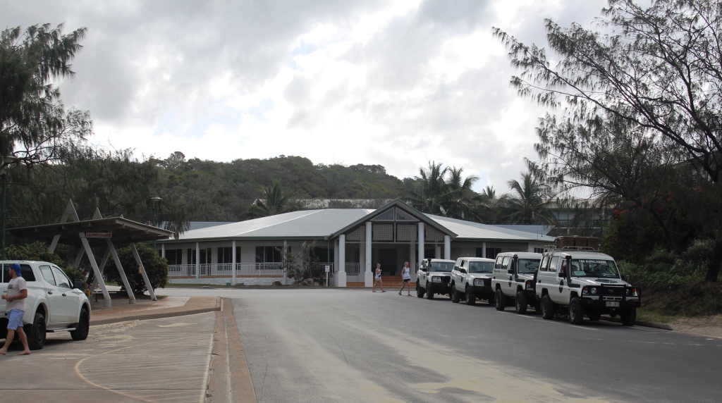
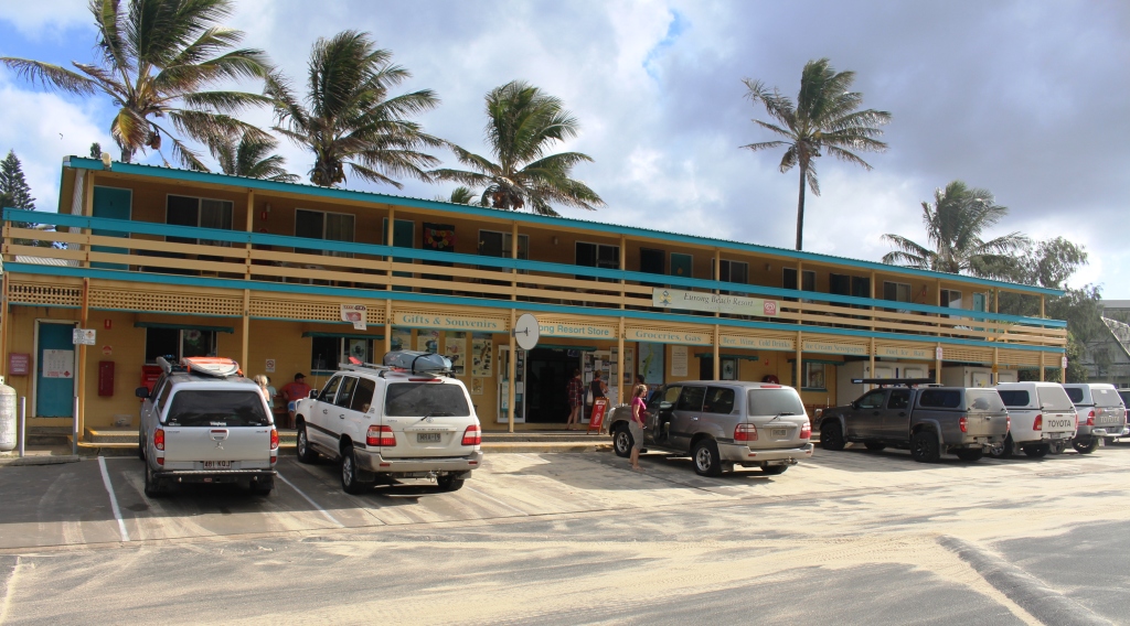
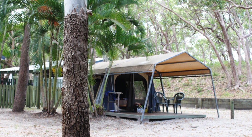
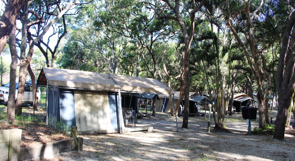
The only place of consequence that we had not visited was Happy Valley, so we made a short detour to check it out. The main store building has been rebuilt since we called there with our friends. It now includes modern flats and a complex containing store, coffee shop/cafe and a sizable bistro. The village now boasts a new holiday unit development. This looked most attractive, with its
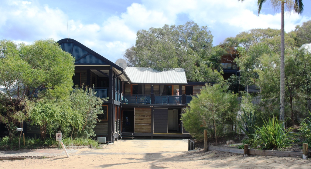
Accommodation units at Happy Valley
proximity to those trappings of civilisation just mentioned. Just a short walk but by the time you reach the bistro your shoes would be full of sand. Oh well. You can’t have everything!
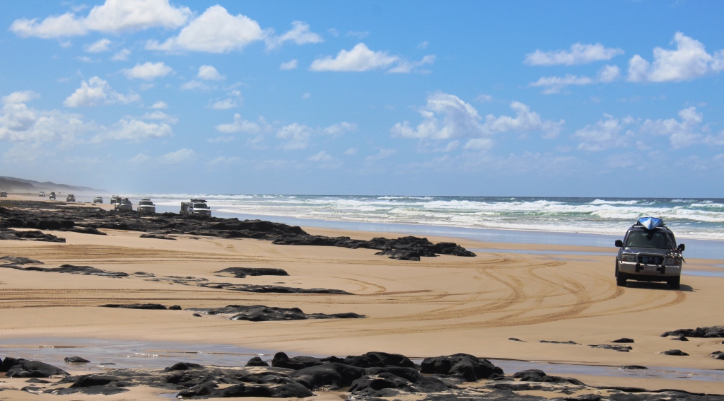
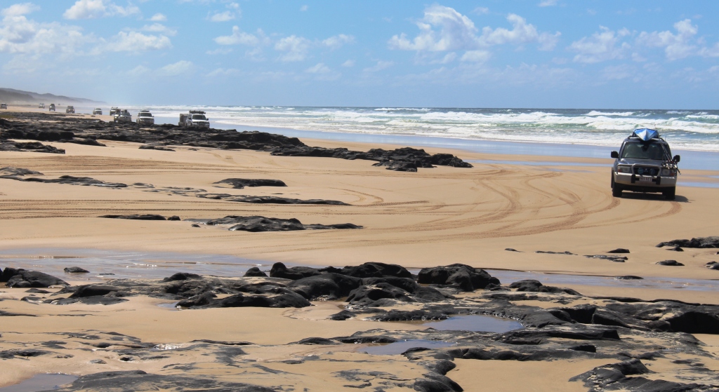
Approaching vehicles at Poyungan Rocks
Waves were still lapping at Yidney Rocks, mentioned in an earlier post, so we had to use the inland bypass. Further south the same situation appeared to be the case at Poyungan Rocks, at least when viewed from the north. So we used the bypass, only to find that, when viewed from the south, there was a clear passage between wave and rock. It was when we stopped to take a photo that we were overtaken by the avalanche of southbound vehicles featured in the second part of the video clip included in a previous post.
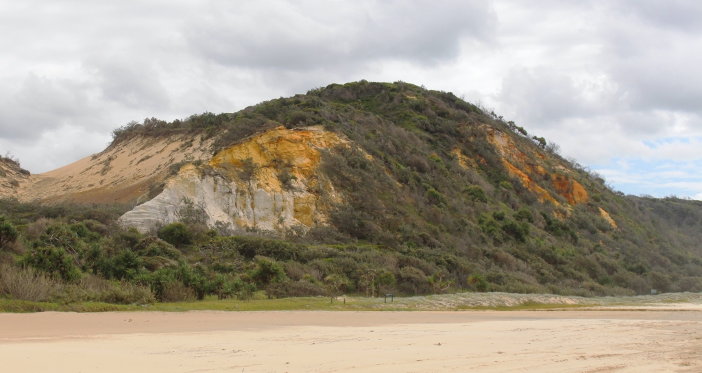
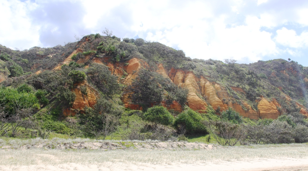
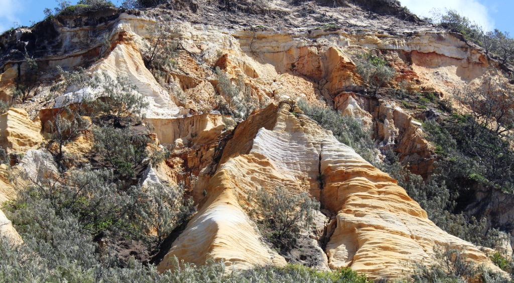
The coloured sands at Rainbow Beach
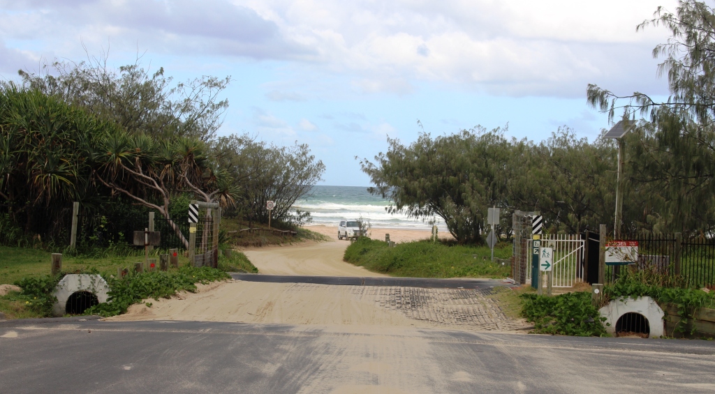
The final run along the beach provided some great views of the sand hills of Rainbow Beach. There was only a short wait for the ferry and we easily fitted on board. With tyre pressures at 18 psi we drove slowly into Rainbow beach to the under body car wash facility that has free air hoses for re-inflating tyres. Much quicker that the 12 volt compressor that we carry with us.

On the ferry (not our car)
With all that done we adjourned to a fish and chip lunch and then the 215 km drive home. The detailed washing and vacuuming of the vehicle will wait until the next day.
So Fraser Island gets a “thumbs up”. If we were to go back it would probably be to rent some more conventional accommodation, like a house or flat, for a week. That would give time to do some more exploring but provide time for leisurely walks along the beach and perhaps, even some fishing.
For anyone interested, the Inskip Point ferry costs $120.00 return. A Queensland National Parks pass for 1 month costs $46.65. One month is the minimum period for which a pass is available.
Five Days Playing in the Sand – Fraser Island 5 [youtube]https://youtu.be/itwnuWEmDQ8[/youtube]