Destination Tasmania – Part 10 – Bicheno to Launceston

26th & 27th February 2020

Please Note: Videos covering the material in this blog post appear at the bottom of this post.

When we drew back the drapes that morning the sun was a red orb in a strip of blue on the horizon. But that didn’t last for long. Grey clouds blew in from the west and wiped it all away.

The day’s journey started as a repeat of the drive two days prior, as we needed to go via St Helens to reach the Tasman Highway to Launceston. We only just made it through morning coffee (made on a picnic table and taken back to the warmth of the car) before drops of rain appeared on the windscreen. A few minutes later, as we made our way out of town, we were in drenching rain.
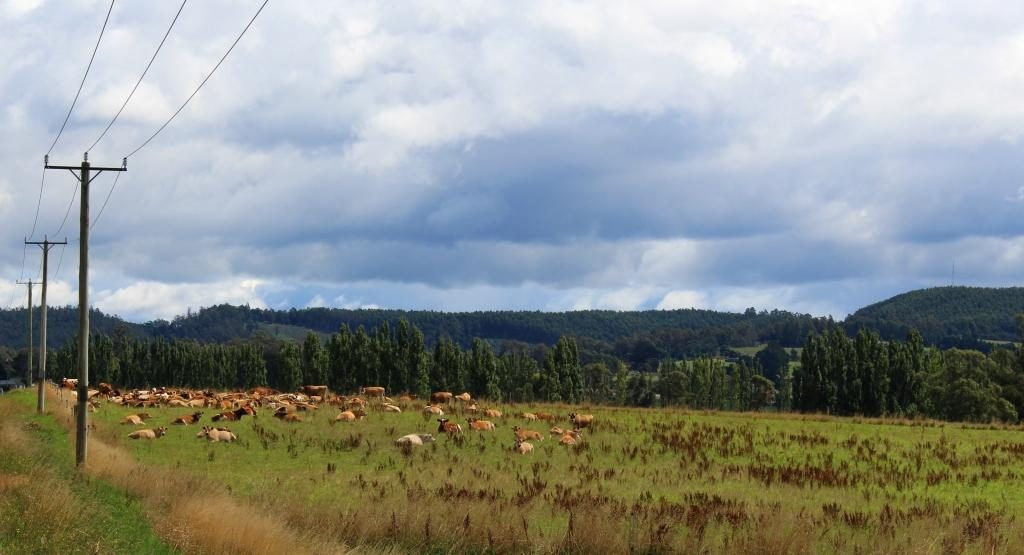
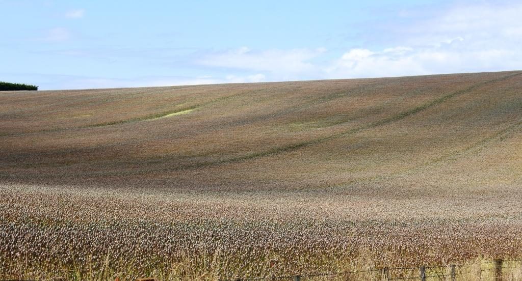
Farming land near Ringarooma

The first part of the drive was mostly beside the sea, with regular ocean views over calm and unruffled waters. The road turns inland at St Helens and meanders its way over mountain after mountain and through valley after valley, until it reaches Launceston. The mountains are almost all heavily timbered but much of the area in the valleys are cleared for farming. We at last saw the emerald green Tasmania of which we had so often been told.
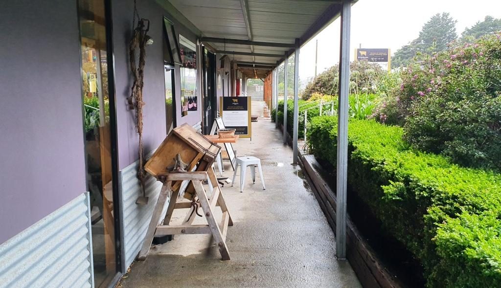
Old cheese making equipment on the veranda of the cafe at Pyengana Cheese

The plan for the day had included visiting a couple of waterfalls and doing some short scenic walks, but the rain put a stop to that. So our first tourist stop was at a farm and cheese factory. Just off the main road at Pyengana, right on the farm, the factory and a retail outlet and cafe attracts a large proportion of passing tourists from this relatively busy highway. We had to line up to sample. We bought two cheese flavours.
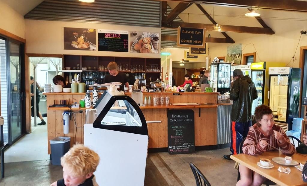
The Pyengana cafe

Immediately after we married, Ruth worked in the cheese producing Drouin Butter Factory in West Gippsland. We used to buy full cloth wrapped cheddar rounds, like those displayed at this cheese factory. On this occasion we satisfied ourselves with two small cheese wedges.
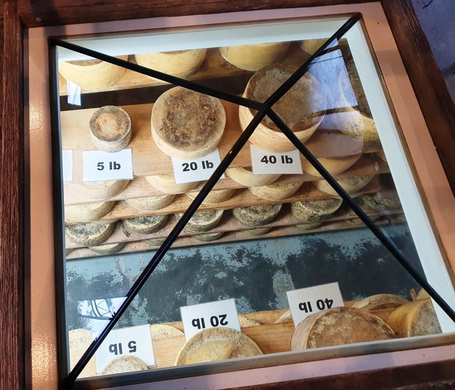
Cheeses on display under a glass pyramid in the cafe floor

Further down the road, past the farm, were a couple of waterfalls, but the rain was too persistent for us to see them and stay dry. So we returned to the highway and drove on steadily, because that is the only way to handle Tasmanian roads, particularly in the rain. But the scenery was attractive, even through the rain, so we did not feel robbed.

At about midday we reached the old tin mining town of Derby. The tin mines have long been closed but its history and its location on the road to the east coast has kept the town alive.
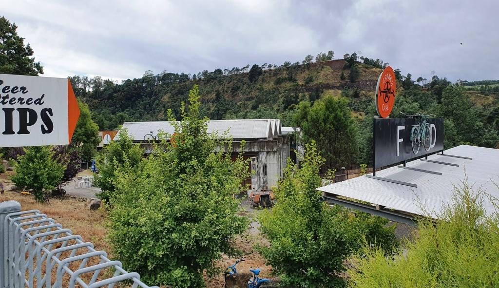
The mountain bike themed cafe at derby. Mullock heaps in the background.

The housing that remains lines the road that runs through the valley. To our right the hill was a large mullock heap from the mining activities.

The mining long gone, Derby has reinvented its self.  It has become a Mecca for mountain biking. Bike tracks have been built in the surrounding hills that are drawing competition from around the World. One cafe has committed itself to mountain biking culture, whatever that is.

With rain abated we found the Two Doors Down Cafe (there has to be a story to that name) and enjoyed a pleasant lunch.  An interesting feature of the cafe was a large picture on the wall showing the town in its mining heyday.
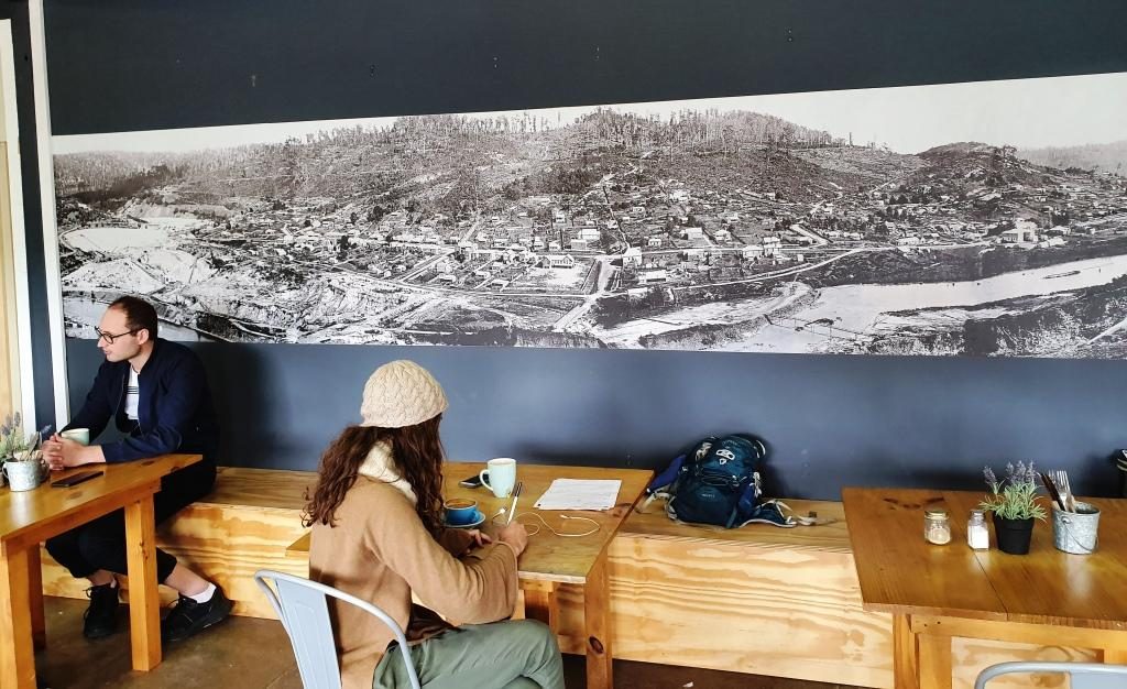
The picture of the old town of Derby displayed on the cafe wall

A bit further on we stopped at Branxholme to photograph the Chinese bridge over the Ringarooma River. Branxholme has a strong connection to the history of Chinese miners in Tasmania. It is a key point on what is known as The Trail of the Tin Dragon that links tin mining sites from Launceston to St Helens.
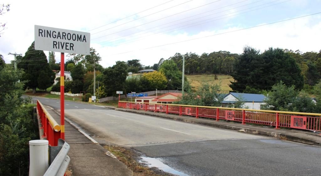
The Chinese bridge at Branxholme

A short distance past Branxholme we detoured on what was not much more than a country lane, towards the town of Ringarooma  to find the small town of Legerwood its carved trees. In 1918 seven trees were planted beside the road at the location that in 1936 became Legerwood, one for each of the locals who did not return from WWI.
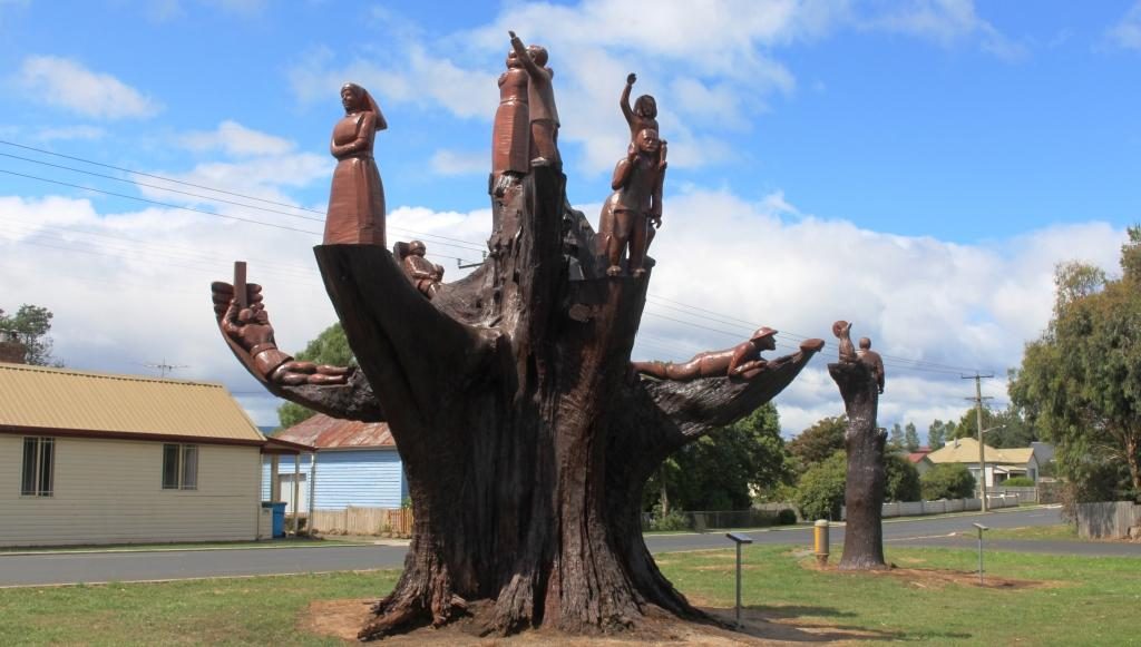
Memorial chain sawed tree stump at Legerwood

By 2001 the trees has become a safety risk so they were cut back and the stumps were carved into a memorial for each of the men. The carving was carried out using a chain saw. A plaque on a stand at each tree tells the individual serviceman’s story. A rest area has been built behind the memorial trees with space for a few RVs to park overnight.
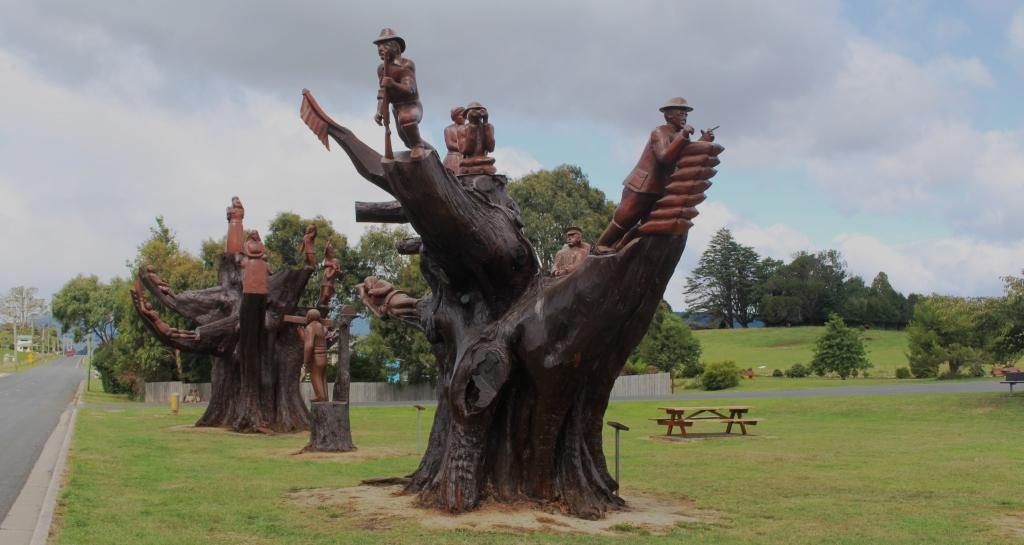
A different perspective of the carved memorial trees

The only other stop was at Sideling Lookout near the summit of the Sideling Range, the last mountain before the commencement of the decent into Launceston. Even with low clouds the view was great. A sign says that on a clear day you can see features on the Bass Strait Islands to the north east.
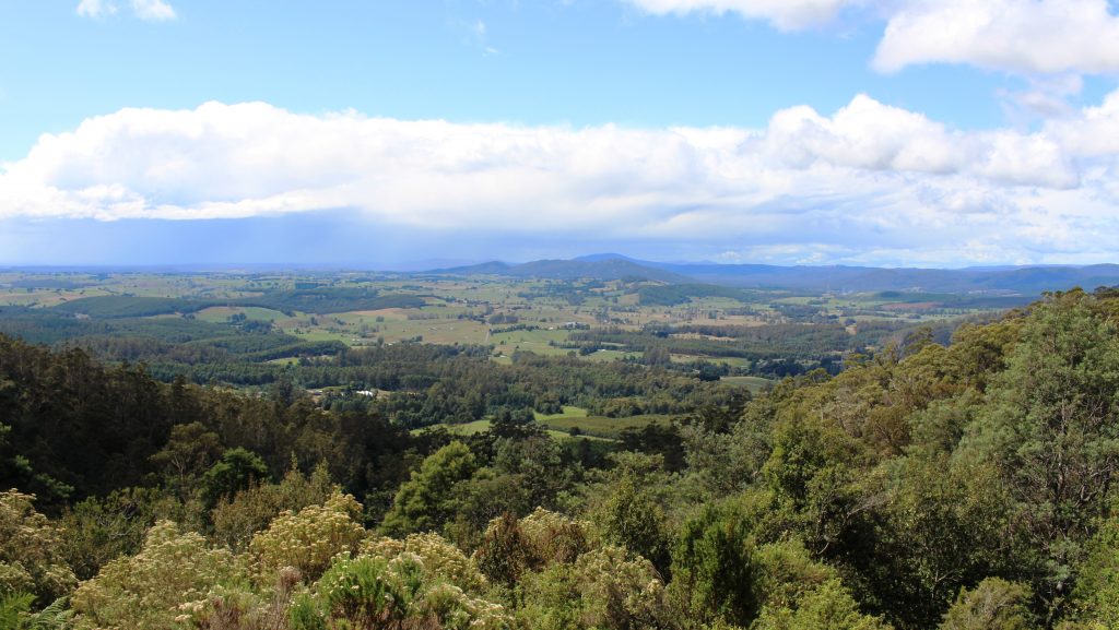
View back towards Scottsdale from Sideling Mountain

Our Launceston accommodation was at Adina Place Apartments on the steep slope above the Launceston central business district. Adina Apartments is a multi storey block with access to the rooms from a balcony that runs the length of the building, overlooking the road. The views from our windows were to the North and North West along the Tamar Valley.
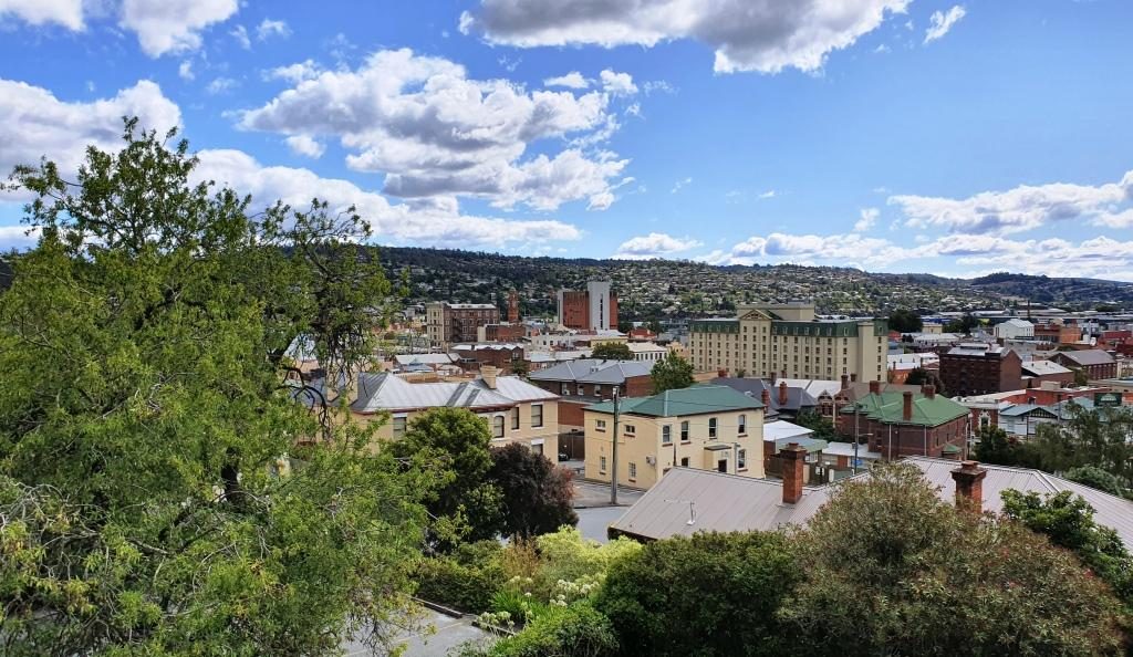
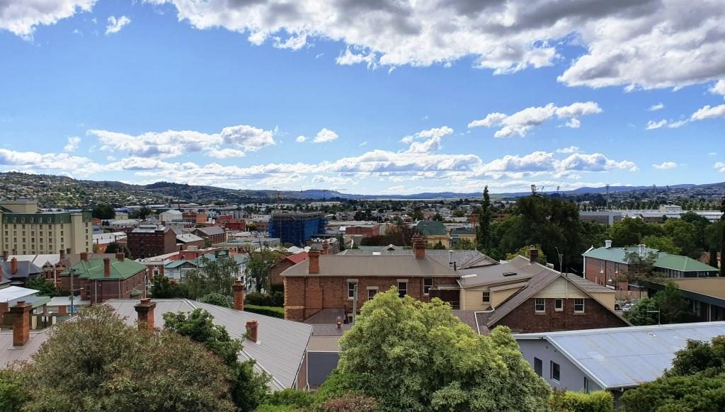
View towards the north west from our Launceston accommodation
Looking north from our unit. The water in the background is the Tamar River

The first day in Launceston was not very holiday friendly. We started out at 14C and (according to the BOM) feeling like 12C, with a strong and cold north-easterly gusting in from somewhere around the freshly fallen snow. It may have got to 16C later in the day. It was hard to tell.
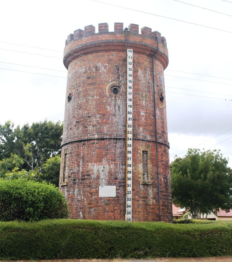
This historic water tower at Evandale is no longer used but kept full of water to help to preserve it.

We had intended to start the day with a visit Ben Lomond, one of the highest mountain peaks in Tasmania and host to some of the local ski fields, but that had to be scrapped with forecasts of low temperatures, wind and possible snow. The plan would have taken us south of Launceston so we stuck with that plan to visit the other items that we had identified. These were mainly National Trust managed homes. All are open to the public for a fee, but with only a morning to spare we were only intending to look at them from the outside and to drive through the country side.
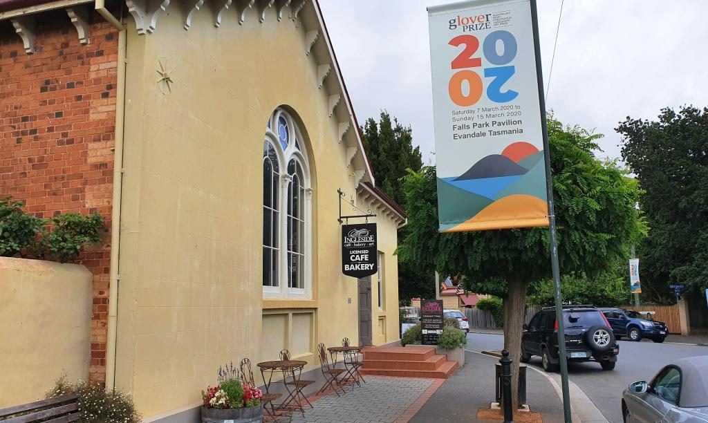
The Evandale Bakery. It was really a licensed cafe but also fulfilled the role of a bakery.

First we drove to Evandale, passing Launceston airport on the way. At Evandale we found a bakery so inviting that we went in for coffee. The warmth was very welcome as was the coffee smell and the wide range of cakes from which to choose.

Evandale, on the old Hobart to Launceston road, has almost all historic houses. It is like an English village. If you built a new house I think that you would need to make it look old to fit in.
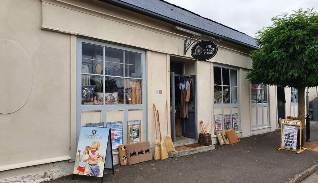
The Evandale Village Store

About a week before we were there Evandale hosted the annual penny farthing bicycle championships. The races are run over a triangular course in the village. A village fair forms part of the event featuring stalls, music, singing, dancing, vintage cars, historical costumes and a grand parade. It must be quite a day.
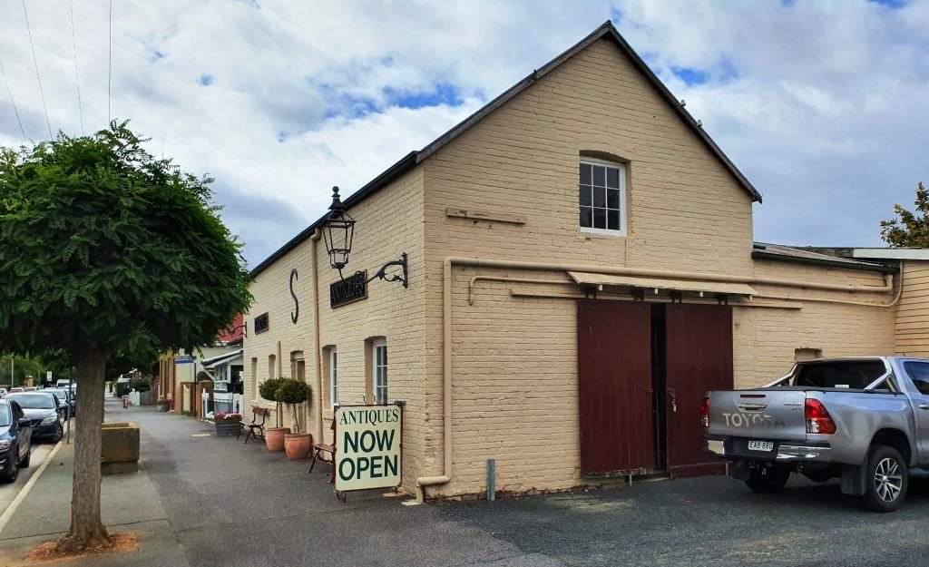
Antiques for sale from truly antique buildings.

Of the National Trust homes that we visited, Clarendon is the stateliest. It was built in 1838 and must have been the centre of colonial social life in the area. Like its piers it is available to host special functions.
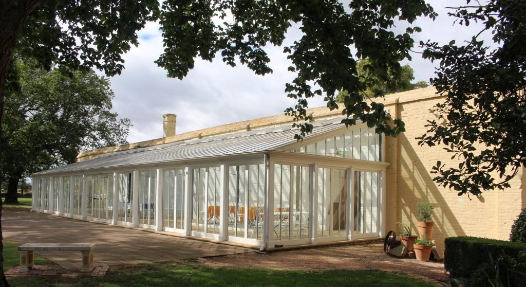
Extensions to Clarendon to accommodate functions such as weddings, balls and commercial promotions.

Brickendon and Woolmers Estate, near Longford, were built by the Archer brothers. Brickendon has been operated by the same family since 1824. Woolmers Estates dates back to 1817. Both properties were added to the National Estate in 1910 because their connection to convict history. Both were built by convict labour. The Archer brothers were regarded as humane masters. Jeffrey Archer became a member of parliament and played a role in the ending of transportation.
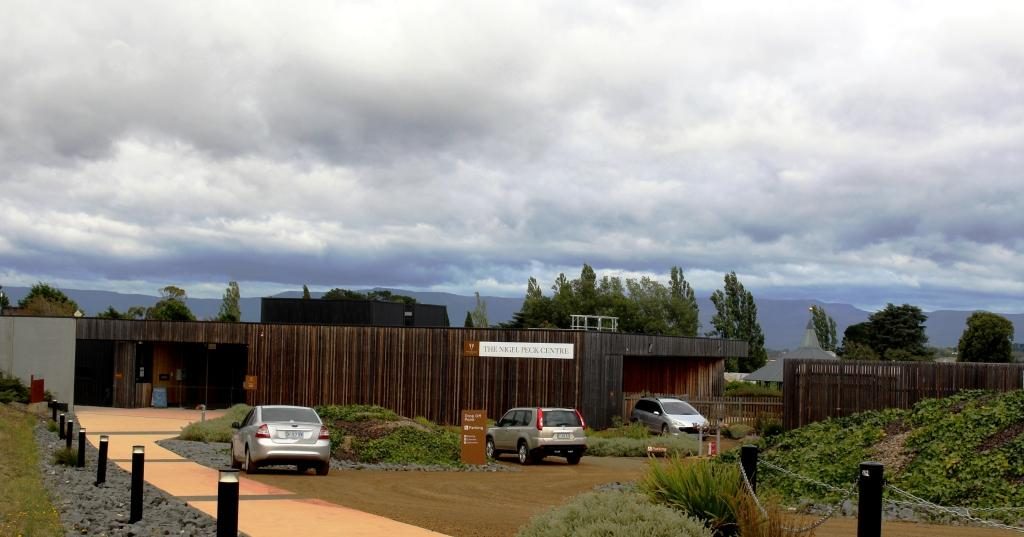
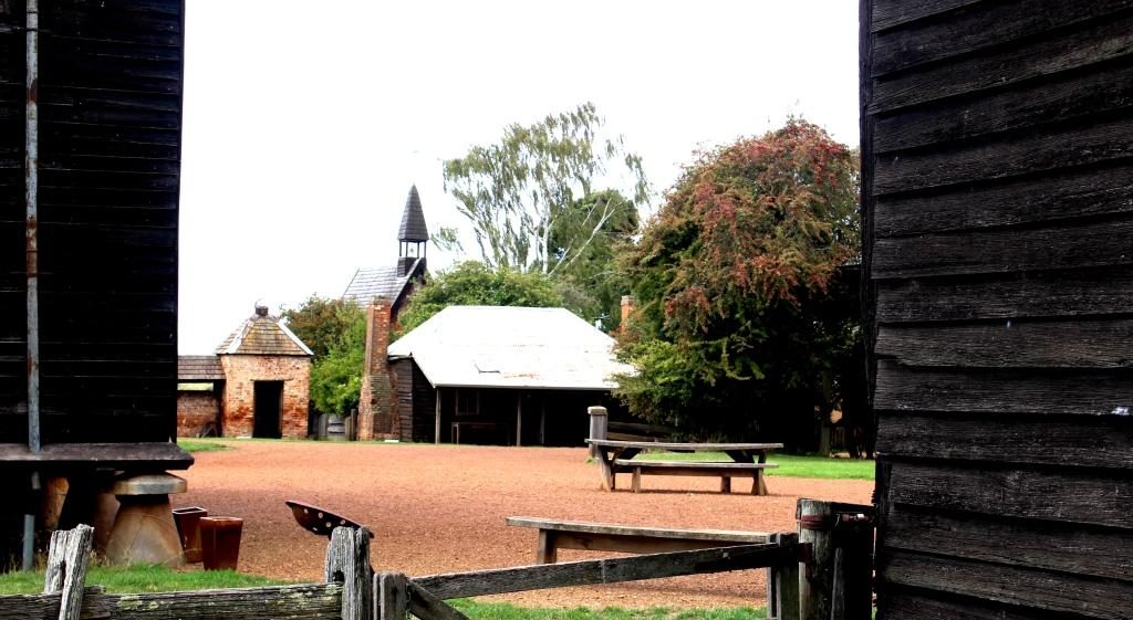
The visitors centre at Woolmers Estate. This National Trust property hosts functions and offers tourist accommodation.
A peep into the back door of Brickendon Estate. The back door is the tourist entrance.

We came back to Launceston to pay a visit to some friends of Briony at their place of business and then made our way to Cataract Gorge. This geographic feature is quite close to the City and surrounded by suburbia.
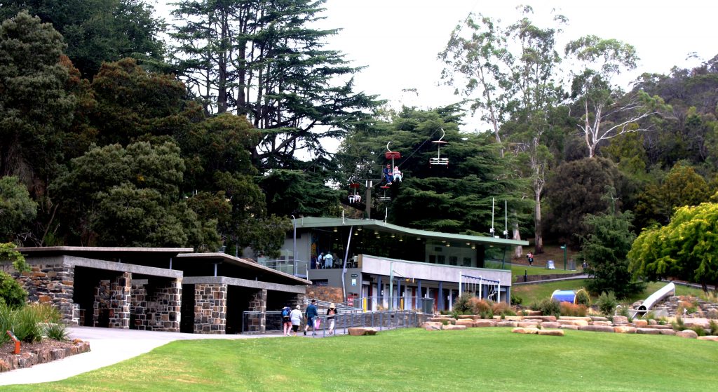
The cafe at Cataract Gorge with the chair lift overhead.

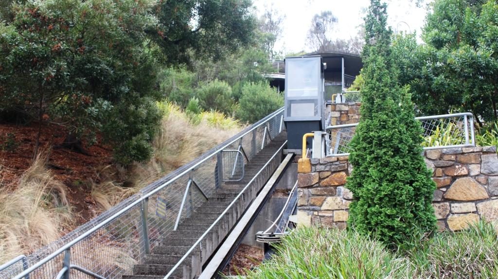
Some of the developments in the gorge have been there for a long time. We remember them from our previous visit. Other features are more recent. A suspension bridge and a chair lift carries people over a small lake and link to various walks. There is a swimming pool, surrounded by lawns, a cafe and a inclined elevator to make it easier for the less mobile to move between the various levels.
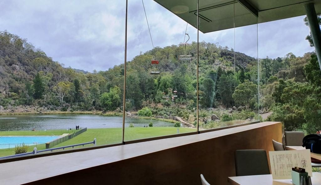
Chairlift and pool from the cafe at Cataract Gorge

We started with late lunch in the café. Then I went for a walk past the pool, returning via the suspension bridge, while Ruth tried to hide from the cold. We gave the chair lift a miss, as did almost everyone else that day.
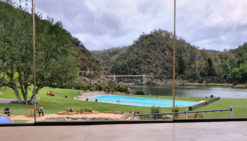
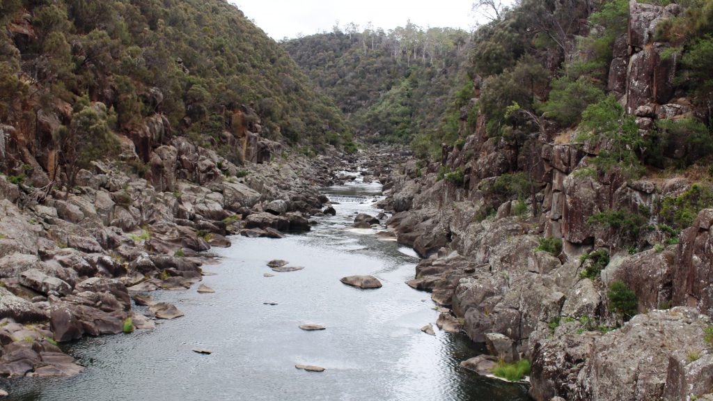
Cataract Gorge pool lake and suspension bridge
The South Tamar River flows through Cataract Gorge above the suspension bridge.
This inclined elevator connects three levels at the Cataract Gorge cafe.

We finished with a drive through city streets. Launceston is built in a narrow valley with city and suburbs spreading up the sides of and over the hills. There are streets that look like the plunge of a roller coaster.

By now there was not much of the day left so we returned to our apartment. It was pleasant to be able to turn the heat up on the air conditioner and settle back in warm comfort for a peaceful evening.

Destination Tasmania – Part 3 – North West Tasmania and the West Coast

8th & 9th February 2020

Please Note: Videos covering the material in this blog post can be found at the bottom of the post.

Leven River, Ulverstone

From Fourth we made the short drive to Ulverstone where we did morning coffee in a riverside park and had a drive around town. We then moved on to Penguin, where we again stopped to do the tourist thing. We were following the road nearest to the coast. Sometimes this was the Bass Highway and sometimes secondary coastal roads.

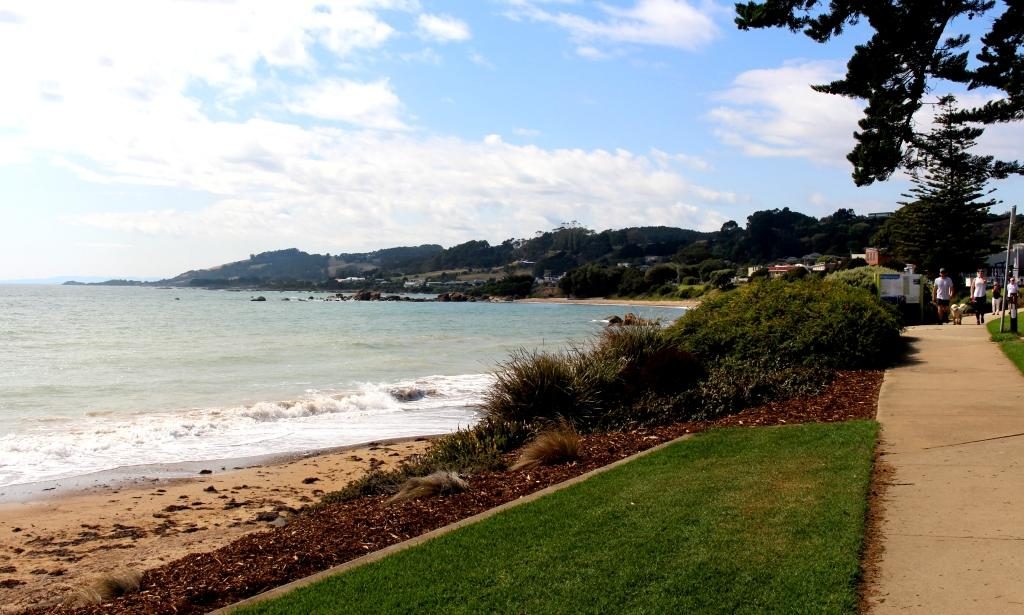
Sea side at Penguin
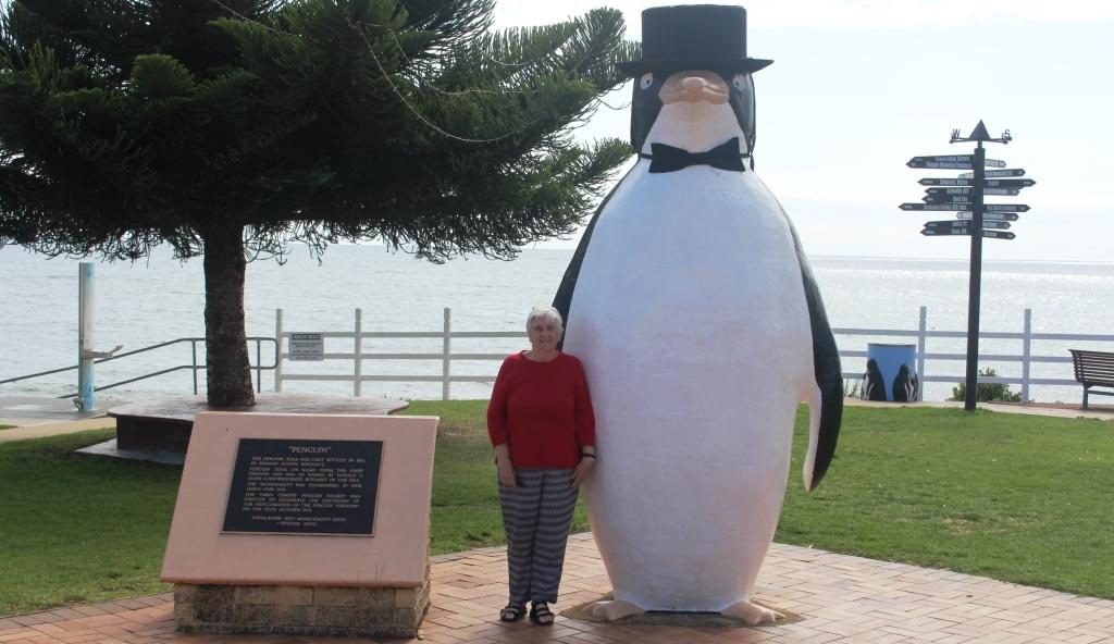
Ruth and the Big Penguin at Penguin
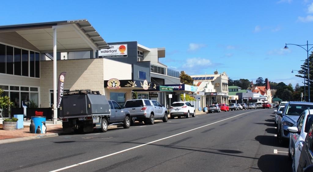
Penguin main street

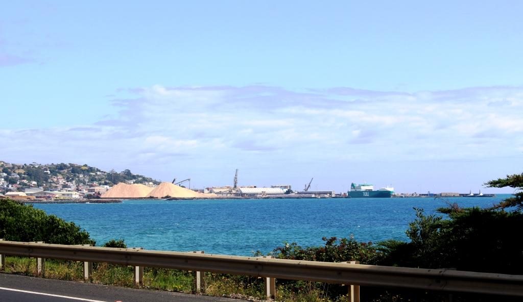
After Penguin, Burnie is the next major town. It is a significant sea port, handling export cargo such as wood chips and it handles much of the freight to and from the mainland. This port doesn’t have a harbour or major river mouth but the wharf area gets some shelter from a bit of a bulge in the coast. Burnie is probably the major industrial centre on the Bass Strait coast of Tasmania.

Port of Burnie from the Bass Highway

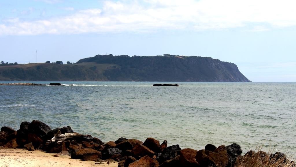
Wynyard is the next town and is home to the Burnie-Wynyard airport, which services the North West area. Wynyard has a beach and some retirement homes but not much more, other that to provide the eastern approach to and view of Table Cape, a flat topped promontory that pokes out into Bass Strait. 

Table Cape from Wynyard

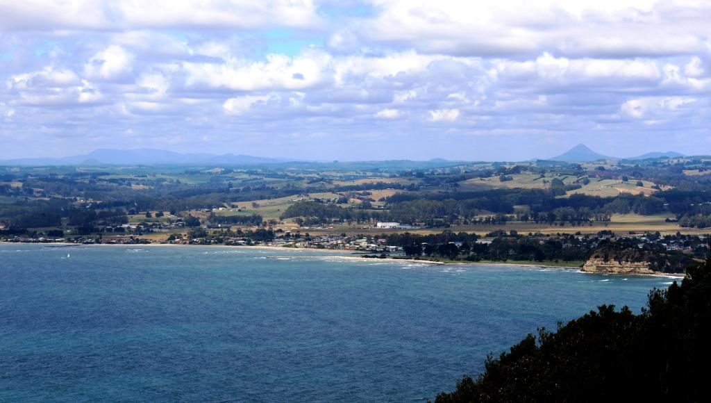
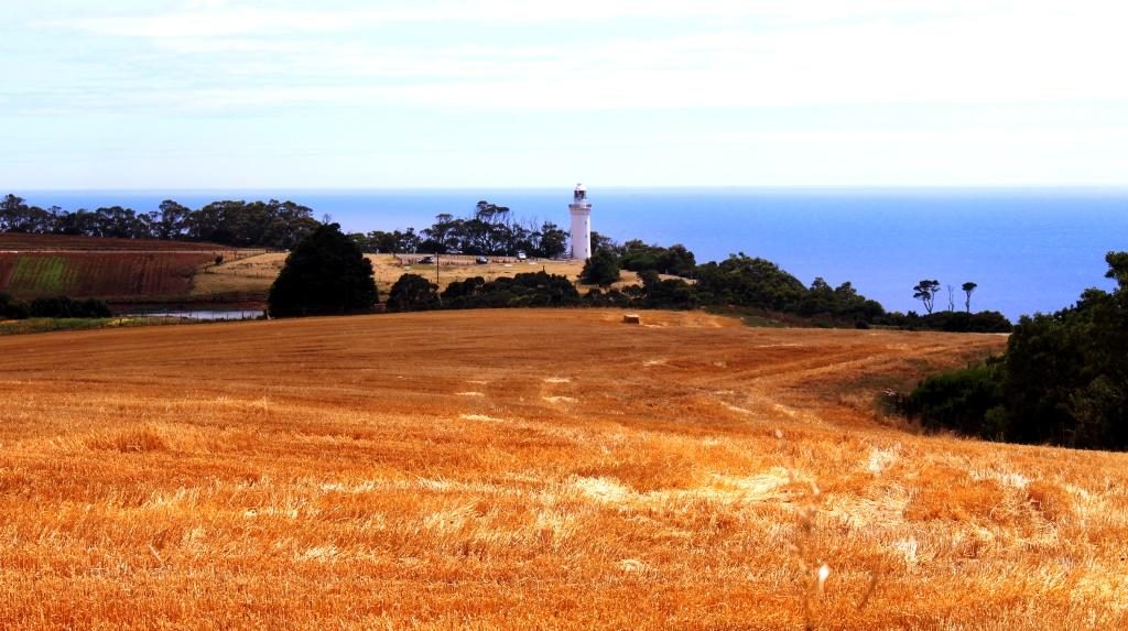
The cape is elevated and quite prominent. It is a rich agricultural area with crops rather that sheep and cattle. One of its crops is industrial poppies, grown under tight governmental control, for the pharmaceutical industry. At its highest point a lookout is provided near to its lighthouse. The views of the coast in both directions and to the mountainous inland are excellent. There is also a popular tulip farm but we were not there at tulip time.

Wynyard from Table Cape
Table Cape Lighthouse over harvest stubble
An industrial poppy field.
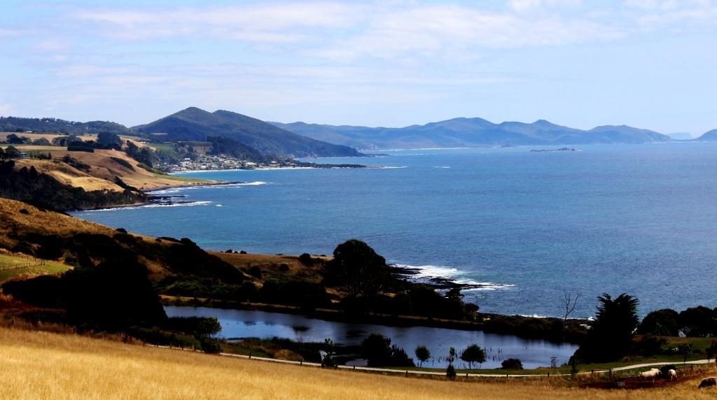
Boat Harbour and the western end of the North coast

We bypassed Stanley, our stop over place for the night, and passed through Smithton to join the road that would take us to Arthur River and the lookout known as The Edge of the World.

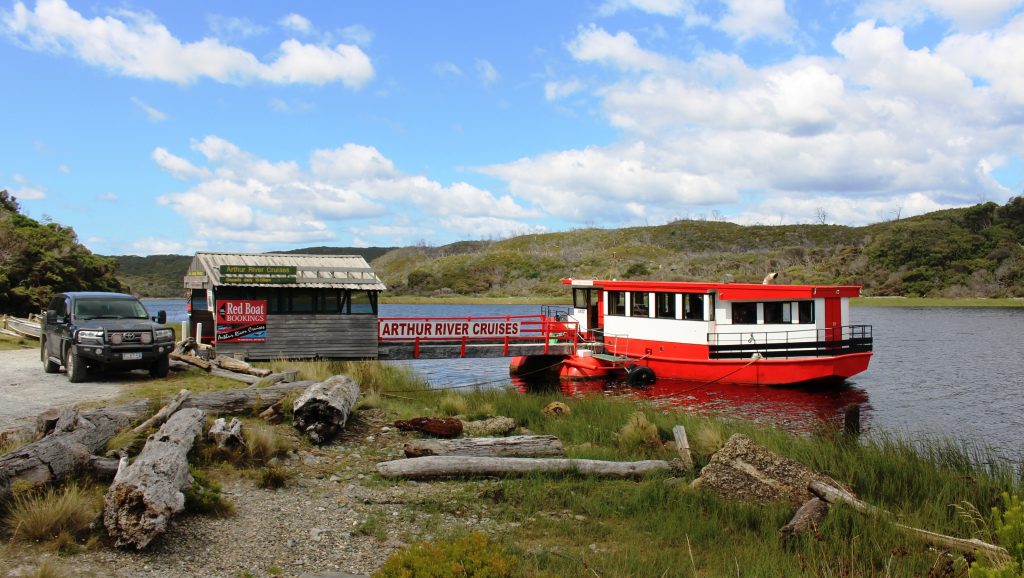
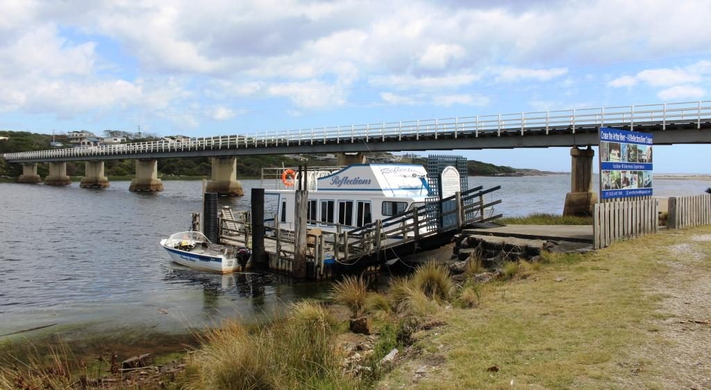
Arthur River is a small remote settlement in the Arthur-Pieman Conservation Area, a reserve that covers a substantial proportion of the northern part of the west coast of Tasmania. One of the tourist attractions is a cruise on the river. There appeared to be two cruise boats, a red boat and a blue boat, but I think they have the same operator. Under the right conditions the reflections in the river are said to be magnificent.

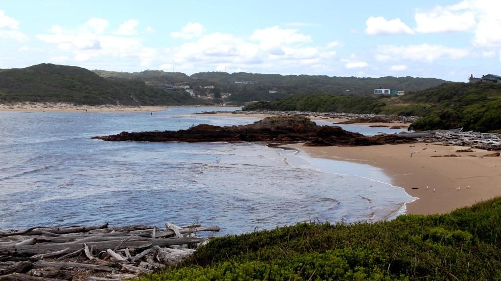
Arthur River estuary
The troubled waters of the Arthur River bar, on a calm day

But for those, like Ruth and I with less time, the attraction is the Edge of the World, a lookout on an elevated dune just south of the mouth of the Arthur River. It is so named because as you look west the next land is Argentina, 40,000 km away, so you can’t quite see it. When strong westerly winds blow, the waves can be huge. The light wind was out of the north, so it was relatively calm.

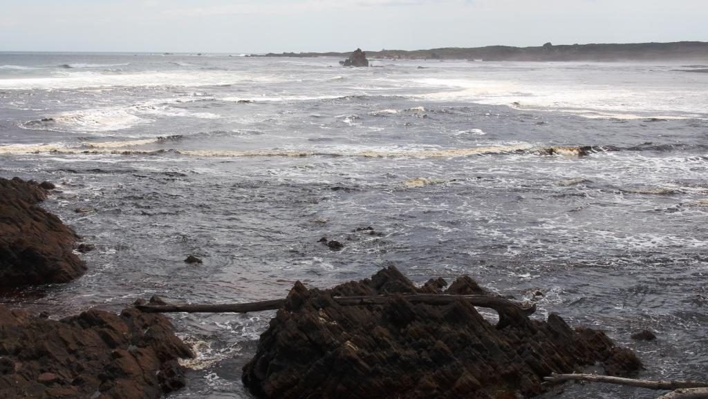
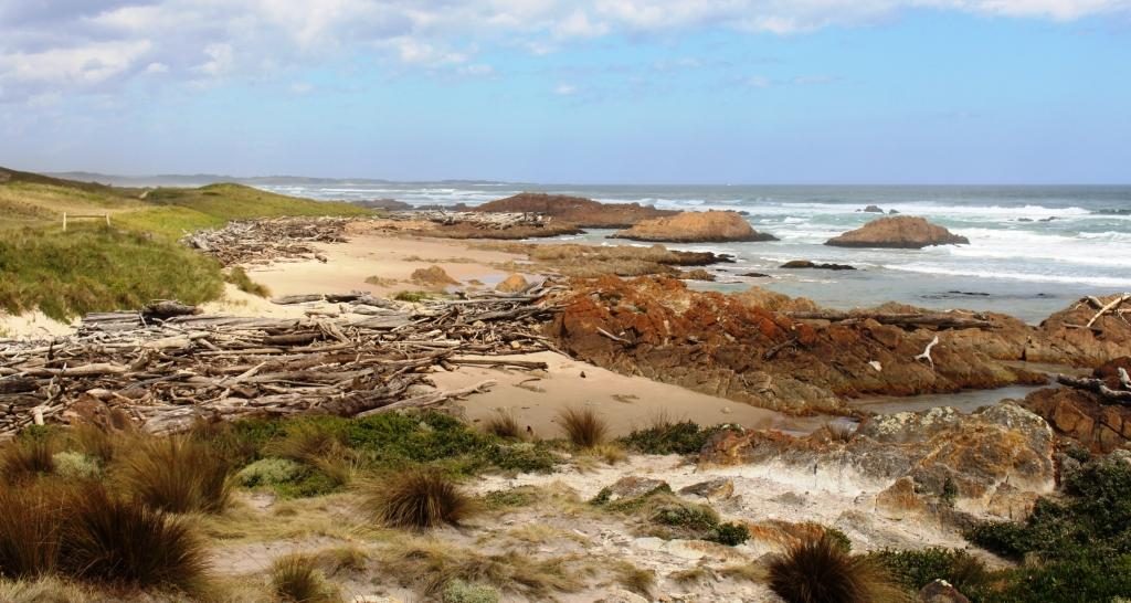
South from Arthur Mouth. Coloured rocks and drift wood
The Red Cruise boat at Arthur River
The Blue Cruise Boat and the Arthur River bridge.

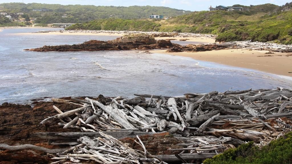
Apart from a great view of the Indian Ocean and the river mouth, you get to see a display of driftwood in its larger form. Logs that wash into the sea during floods, or perhaps fall off the decks of ships, end up washed ashore on this coast and into the small coves and exposed rocks of the river estuary. Some of it is said to be Huon Pine.

Serious drift wood at Arthur River

We found a cup of tea and a biscuit to nibble at the towns small general store, then returned to Stanley to spend the night in a very comfortable cabin in the Stanley Caravan Park. The plan was to explore Stanley and the famous Stanley Nut next morning.

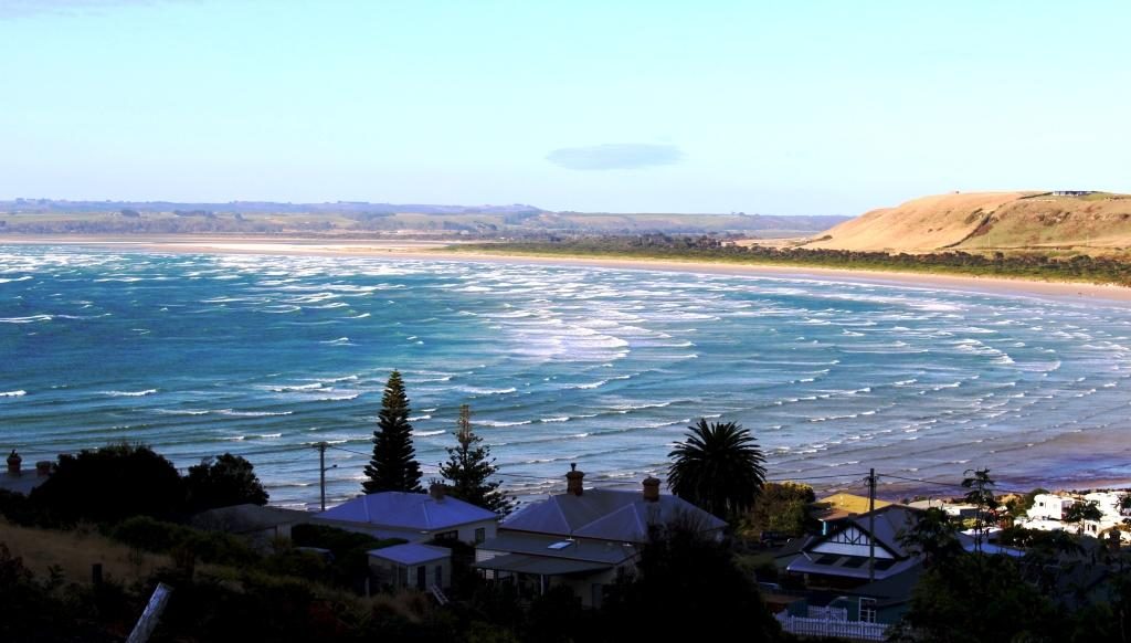
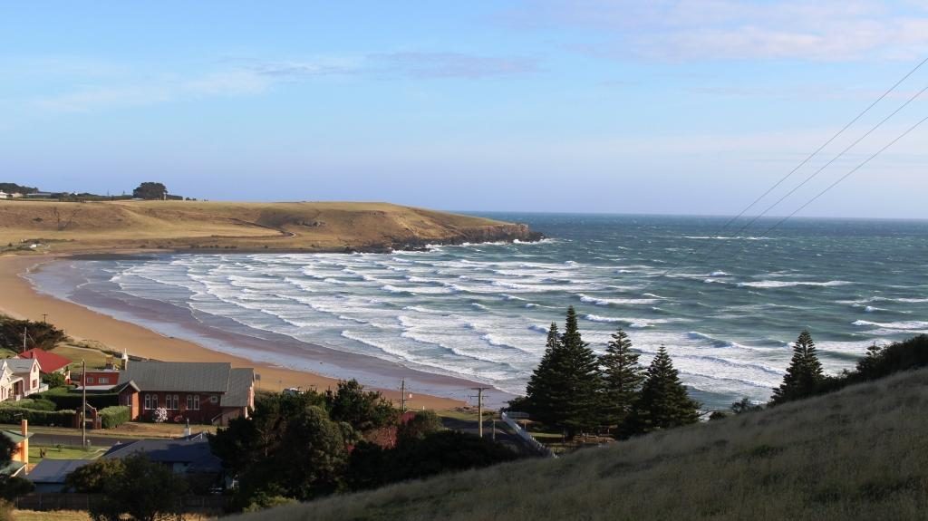
Sunday 9th February dawned in Stanley with the wind trying to blow the town into Bass Strait.  Overnight, yesterday’s mild northerly became a budding south easterly gale. It started howling around our cabin in the early hours of the morning and had lost none of its enthusiasm by get up time. Rows of white capped waves were dashing across the bay and dumping themselves on the beach.

Waves on Sawyer Bay, Stanley
And waves on Perkins Bay, Stanley.

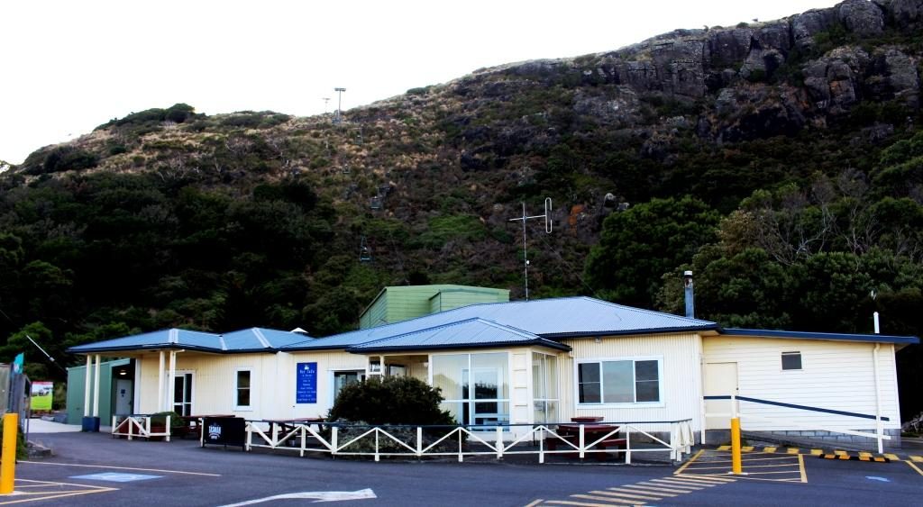
The wind strength at the summit of the Nut would require you to hold on to your hat with one hand and a stout post with the other. This being the case, we abandoned my plan to ride the chair lift to the summit. Instead we looked around town before starting on our drive for the day. On the way out of town (we had noticed it on the way in) a road turned to a lookout.

The chair lift at Stanley Nut

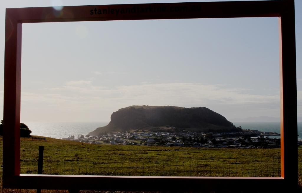
The lookout is located on the next hill inland from The Nut and provided an elevated viewing platform and a giant picture frame, through which to view or photograph Stanley. The view emphasised that Stanley Nut is a promontory with bays on each side. It also provided good views of the pasture land that surrounds Stanley.

Stanley Nut inside of the frame

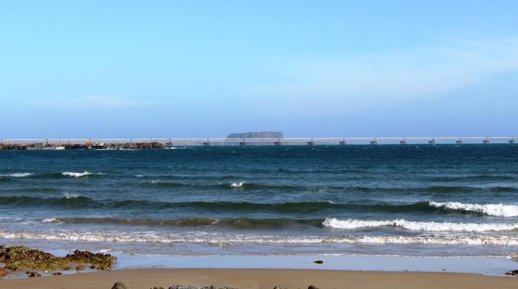
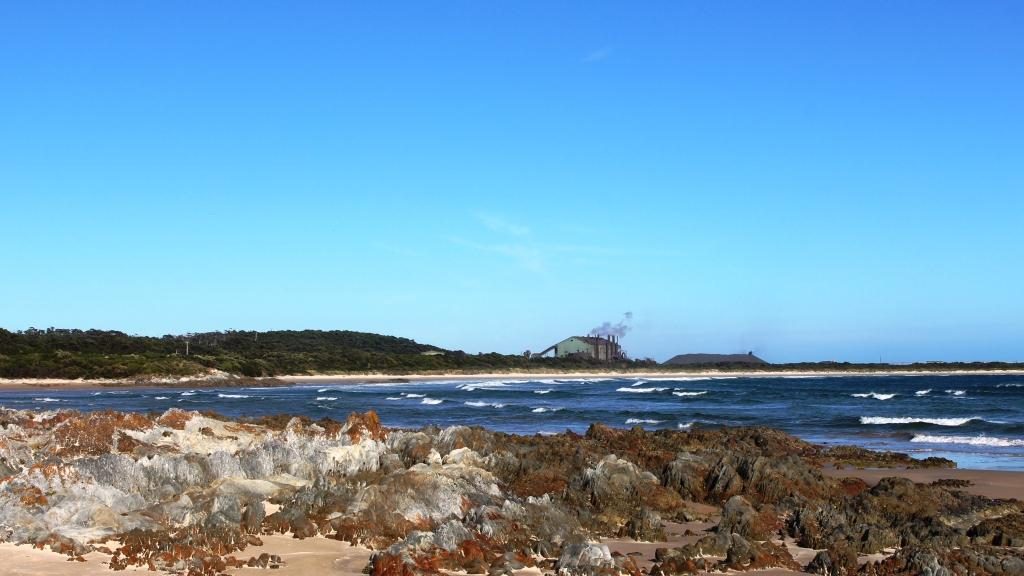
The road to the central west coast ( you can’t drive to the southern end of the west coast) turns near Burnie, so we had to retrace our route along the Bass Highway for about 50 km. On our way to the turn we stopped to take a closer look at the shipping wharf at Port Latta. This port is a long loading conveyor that makes its way out to deep water. Iron ore and magnetite are mined at Savage River near Queenstown and pumped as slurry through a pipeline. It is then solidified and converted to pellets at Port Latta and shipped overseas.

Loading conveyor at Port Latta. The Nut in the background.
Ore processing facility at Port Latta

We diverted to Burnie for a visit to a pharmacy. While we were there we had coffee, but at a handy McCafe, not at the pharmacy.

Burnie to Strahan is 180 km. After leaving the coast we travelled through dairy, beef and sheep country followed by endless forests, always with mountains in the far or muddle distance. About half way along, just off the highway to the right, is Waratah. About 40 km to the left, as the crow flies, is Cradle Mountain. You pass its turn to the left a bit further south.

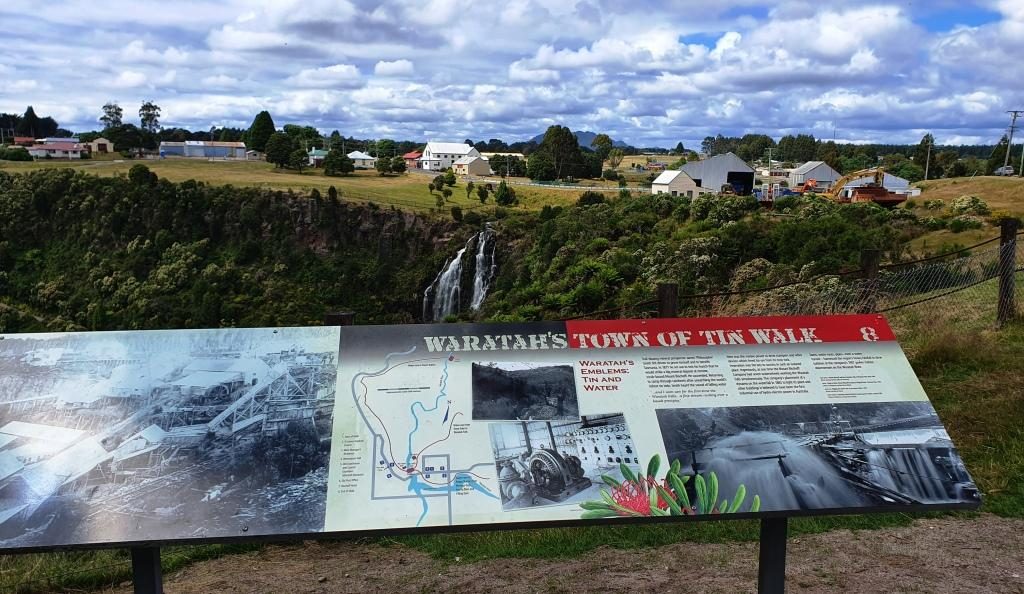
Waratah information, water fall and tow,
Old mining ruins can be seen during a walk through this gorge at Waratah

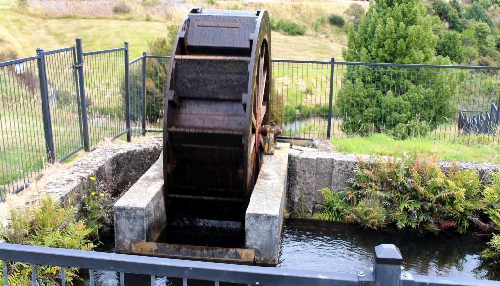
As I learned in primary school, Waratah is the home of the Mount Bischoff tin mine. The body of ore was discovered in 1871 and mining commenced, initially using water from the water fall in the middle of the town, in a sluicing process. Later the water fall was used to power one of Tasmania’s first hydro electric generators to power the tin refining process.

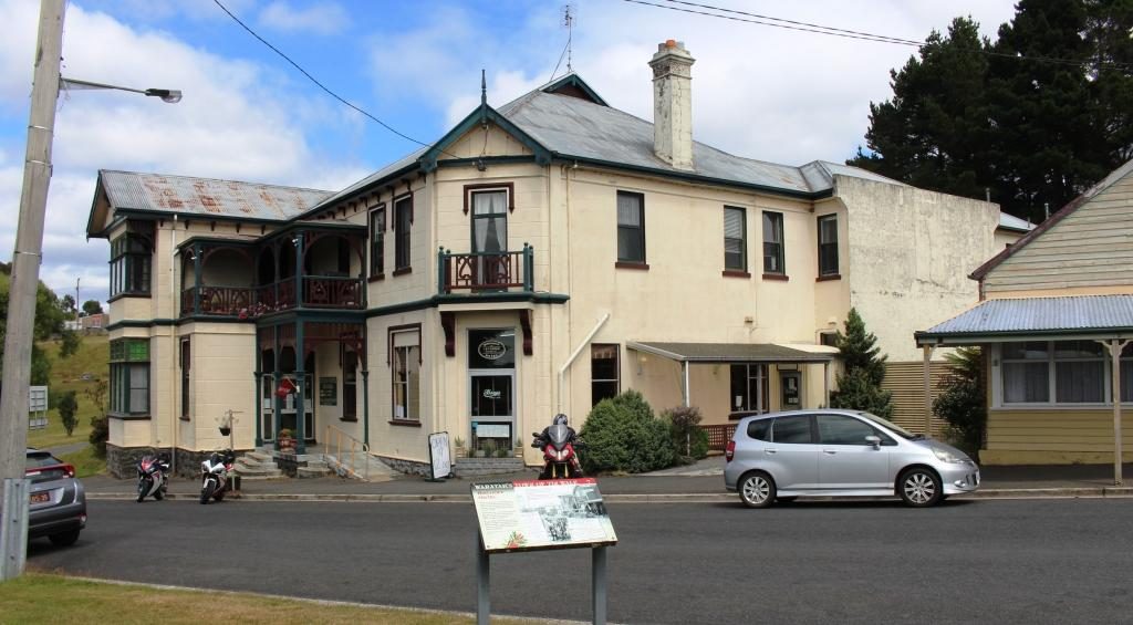
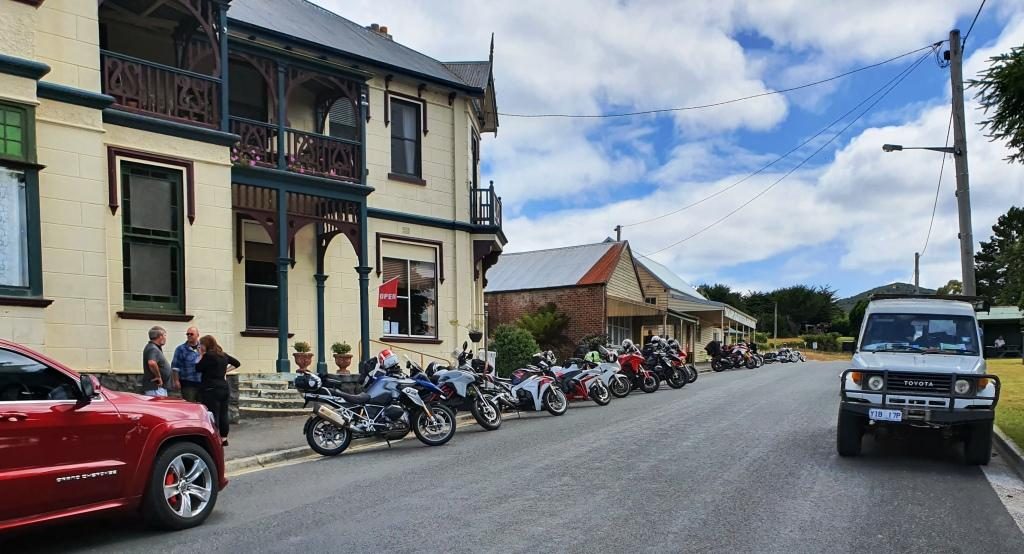
Bischoff Hotel, Waratah
The Bischoff Hotel seems to be a Sunday destination for bikers.
A water wheel now used for a display instead of work

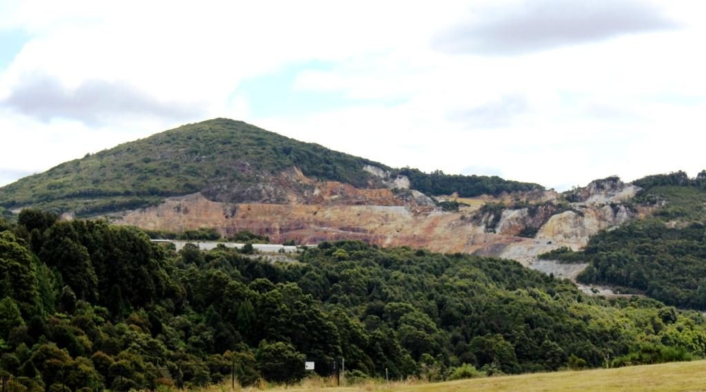
Tin mining continued until 1929, but was opened again in 1942, to support the war effort. It finally closed permanently 1947, about the time that I was learning about it at school.  Displays in the town relate to those times. A walking trail leads into the gorge where those with the time can see more of the mining relics. The excavation activities created a huge gouge into the face of the mountain, although much of the mining was under ground.

The above ground part of the Mount Bischoff tin mine
This hut was the home of James “Philosopher” Smith, one of the prospectors who discovered tin at Mount Bischoff

We continued south to Tullah, after which we had a choice of road. We chose the route nearest to the west coast, through Rosebery and Zeehan. Tullah is a Tasmanian Hydro Electricity town with some tourism based on two large man made lakes. Rosebery and Zeehan were both mining towns. Zeehan was a tin, silver and zinc mining town. We returned to Zeehan a couple of days later. Rosebery was a gold, zink and copper mining area.

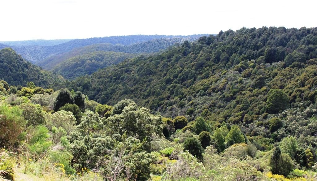
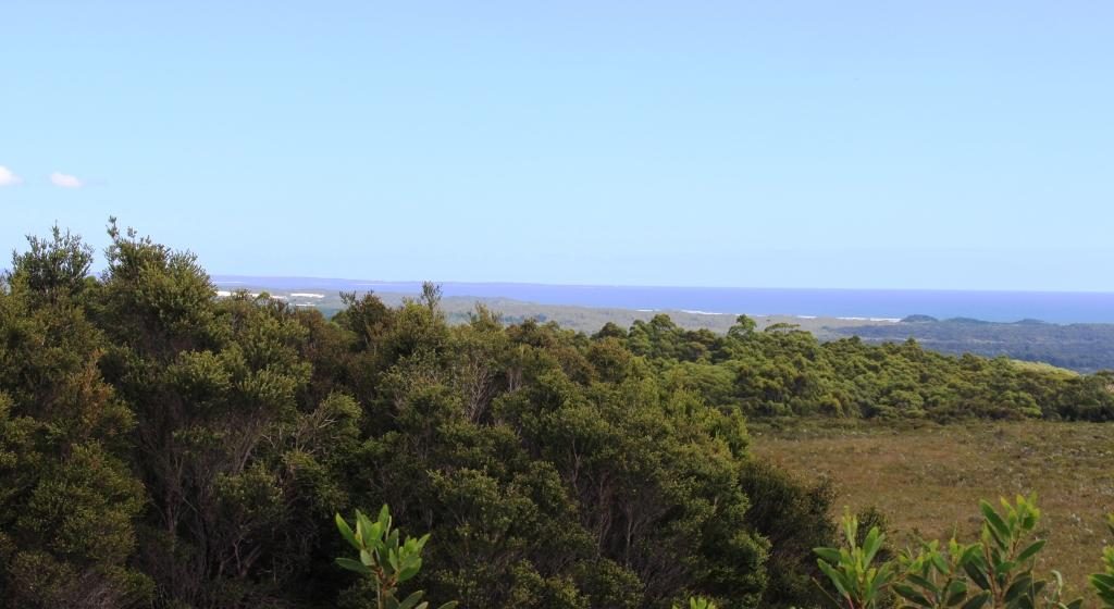
After Zeehan the road swings west towards the coast and crosses a winding mountain range, the road running through rain forest that is often like a tunnel. As the ocean comes into view a lookout has been provided. It gives sweeping views of the coast including the distant Cape Sorrel Lighthouse at the mouth of Macquarie Harbour, but you need a long lens or binoculars to see the lighthouse clearly.

A view of the west coast to the north of Strahan and Macquarie Harbour.

The drive to Strahan from here is along the coastal plain, mostly behind sand dunes. The road, known as the Murchison Highway, for the entire distance from Burnie is well formed and sealed throughout, although a bit on the narrow side, as are many of the secondary roads in Tasmania. Our accommodation for the next three nights was in a cabin in the Strahan Caravan Park.