
8th & 9th February 2020
Please Note: Videos covering the material in this blog post can be found at the bottom of the post.
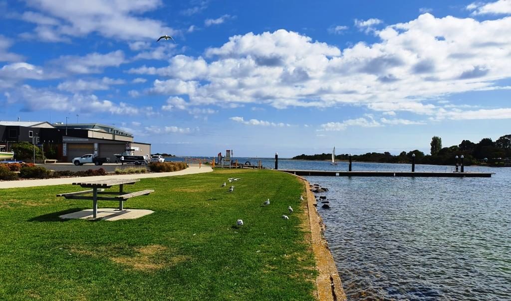
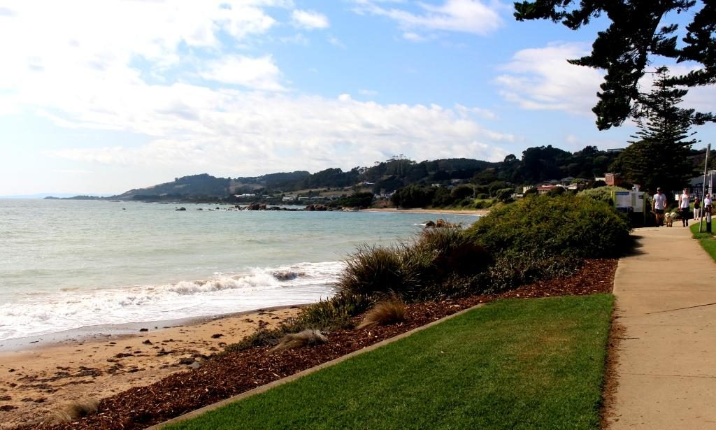
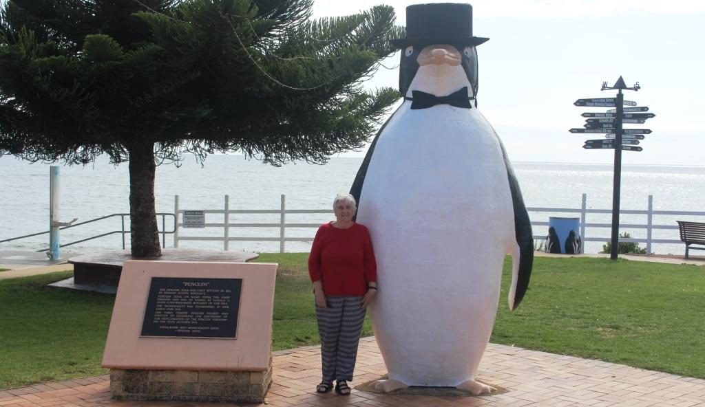
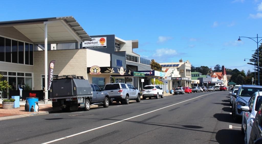
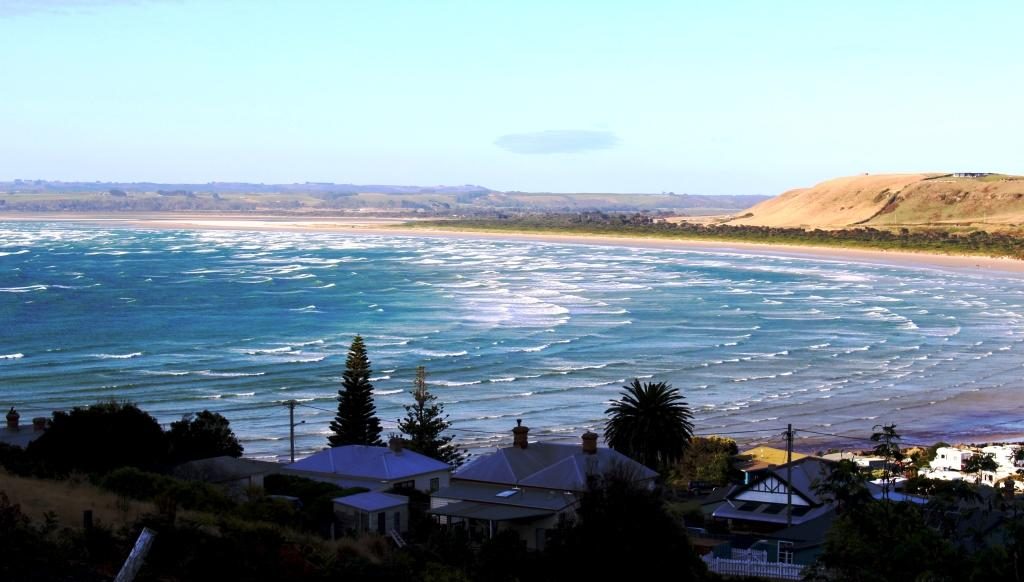
From Fourth we made the short drive to Ulverstone where we did morning coffee in a riverside park and had a drive around town. We then moved on to Penguin, where we again stopped to do the tourist thing. We were following the road nearest to the coast. Sometimes this was the Bass Highway and sometimes secondary coastal roads.
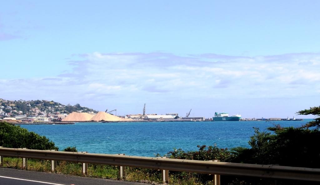
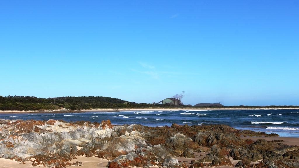
After Penguin, Burnie is the next major town. It is a significant sea port, handling export cargo such as wood chips and it handles much of the freight to and from the mainland. This port doesn’t have a harbour or major river mouth but the wharf area gets some shelter from a bit of a bulge in the coast. Burnie is probably the major industrial centre on the Bass Strait coast of Tasmania.
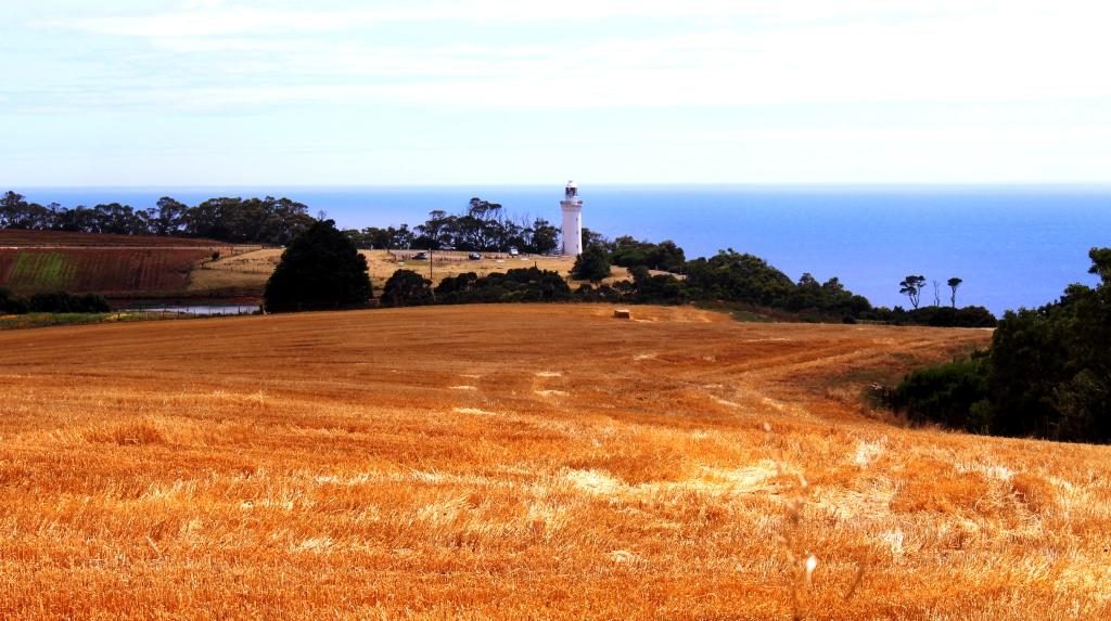
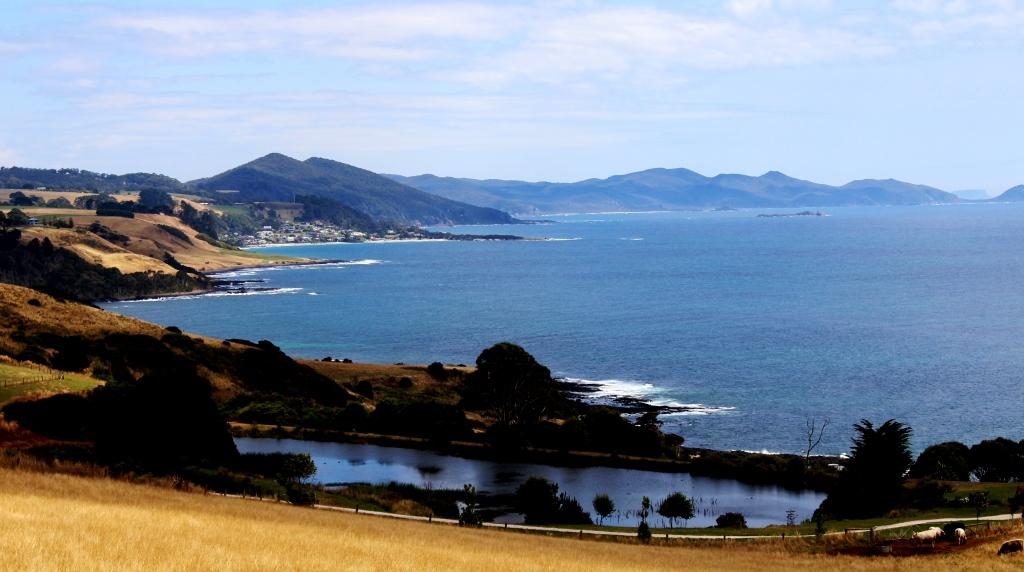
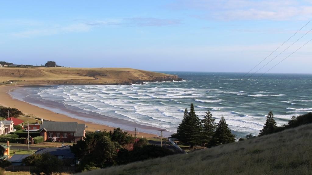
Wynyard is the next town and is home to the Burnie-Wynyard airport, which services the North West area. Wynyard has a beach and some retirement homes but not much more, other that to provide the eastern approach to and view of Table Cape, a flat topped promontory that pokes out into Bass Strait.
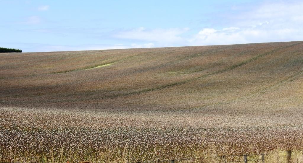
The cape is elevated and quite prominent. It is a rich agricultural area with crops rather that sheep and cattle. One of its crops is industrial poppies, grown under tight governmental control, for the pharmaceutical industry. At its highest point a lookout is provided near to its lighthouse. The views of the coast in both directions and to the mountainous inland are excellent. There is also a popular tulip farm but we were not there at tulip time.
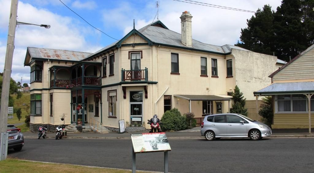
We bypassed Stanley, our stop over place for the night, and passed through Smithton to join the road that would take us to Arthur River and the lookout known as The Edge of the World.
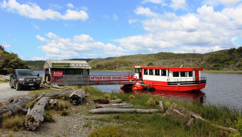
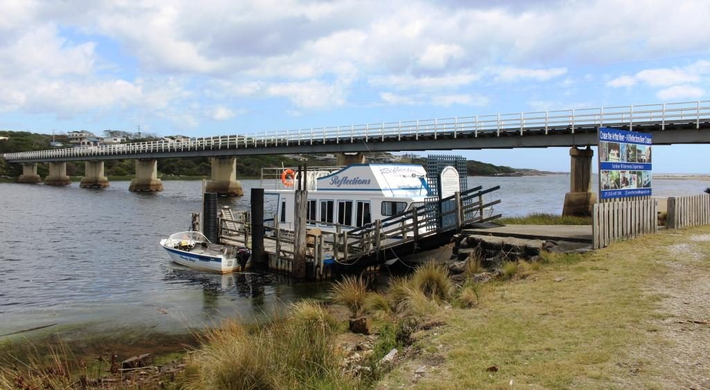
Arthur River is a small remote settlement in the Arthur-Pieman Conservation Area, a reserve that covers a substantial proportion of the northern part of the west coast of Tasmania. One of the tourist attractions is a cruise on the river. There appeared to be two cruise boats, a red boat and a blue boat, but I think they have the same operator. Under the right conditions the reflections in the river are said to be magnificent.
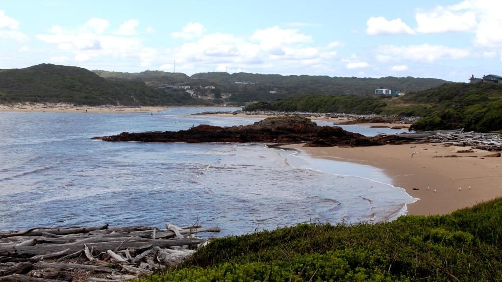
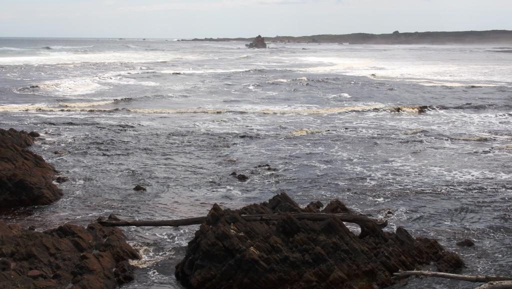
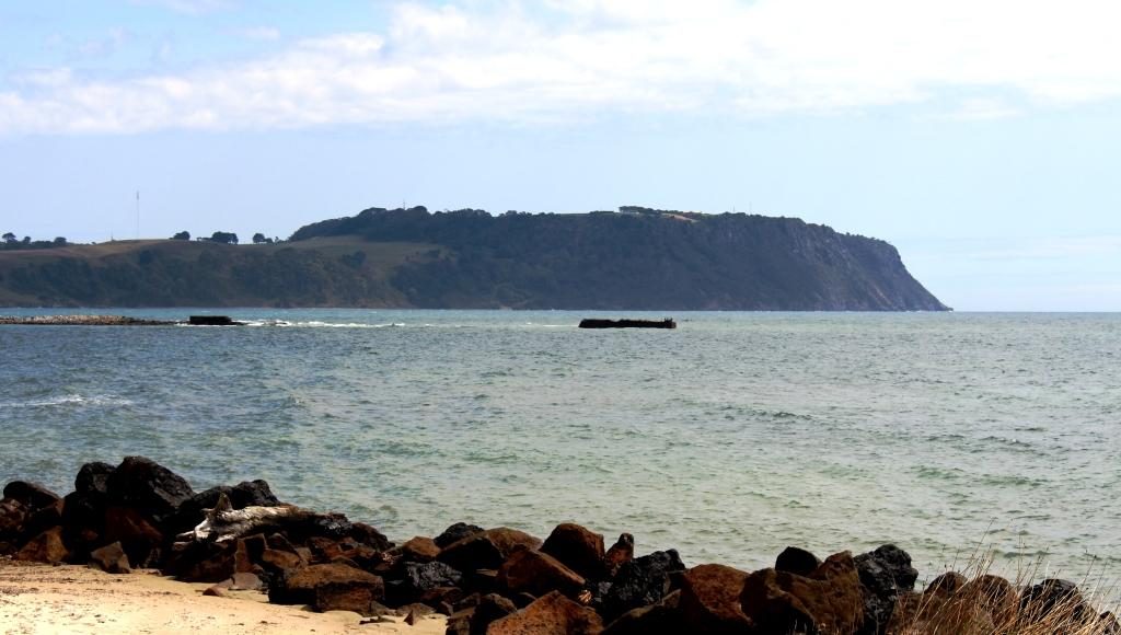
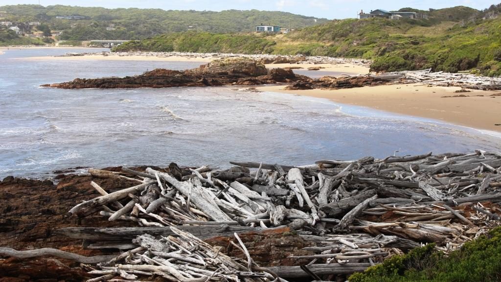
But for those, like Ruth and I with less time, the attraction is the Edge of the World, a lookout on an elevated dune just south of the mouth of the Arthur River. It is so named because as you look west the next land is Argentina, 40,000 km away, so you can’t quite see it. When strong westerly winds blow, the waves can be huge. The light wind was out of the north, so it was relatively calm.
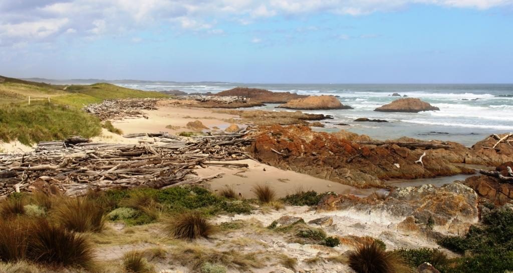
Apart from a great view of the Indian Ocean and the river mouth, you get to see a display of driftwood in its larger form. Logs that wash into the sea during floods, or perhaps fall off the decks of ships, end up washed ashore on this coast and into the small coves and exposed rocks of the river estuary. Some of it is said to be Huon Pine.
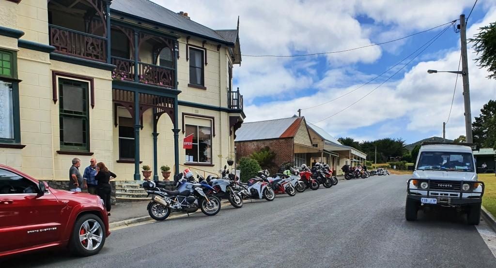
We found a cup of tea and a biscuit to nibble at the towns small general store, then returned to Stanley to spend the night in a very comfortable cabin in the Stanley Caravan Park. The plan was to explore Stanley and the famous Stanley Nut next morning.
Sunday 9th February dawned in Stanley with the wind trying to blow the town into Bass Strait. Overnight, yesterday’s mild northerly became a budding south easterly gale. It started howling around our cabin in the early hours of the morning and had lost none of its enthusiasm by get up time. Rows of white capped waves were dashing across the bay and dumping themselves on the beach.
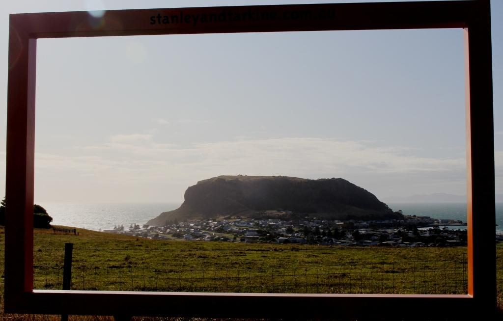
The wind strength at the summit of the Nut would require you to hold on to your hat with one hand and a stout post with the other. This being the case, we abandoned my plan to ride the chair lift to the summit. Instead we looked around town before starting on our drive for the day. On the way out of town (we had noticed it on the way in) a road turned to a lookout.
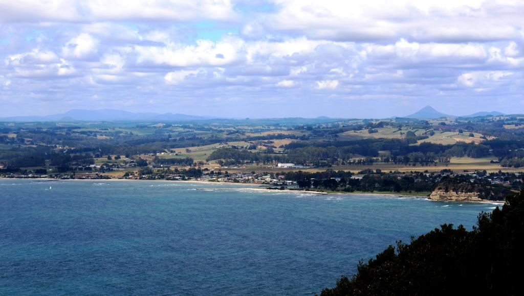
The lookout is located on the next hill inland from The Nut and provided an elevated viewing platform and a giant picture frame, through which to view or photograph Stanley. The view emphasised that Stanley Nut is a promontory with bays on each side. It also provided good views of the pasture land that surrounds Stanley.
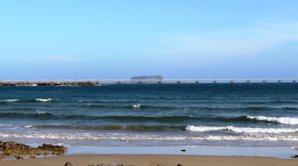
The road to the central west coast ( you can’t drive to the southern end of the west coast) turns near Burnie, so we had to retrace our route along the Bass Highway for about 50 km. On our way to the turn we stopped to take a closer look at the shipping wharf at Port Latta. This port is a long loading conveyor that makes its way out to deep water. Iron ore and magnetite are mined at Savage River near Queenstown and pumped as slurry through a pipeline. It is then solidified and converted to pellets at Port Latta and shipped overseas.
We diverted to Burnie for a visit to a pharmacy. While we were there we had coffee, but at a handy McCafe, not at the pharmacy.
Burnie to Strahan is 180 km. After leaving the coast we travelled through dairy, beef and sheep country followed by endless forests, always with mountains in the far or muddle distance. About half way along, just off the highway to the right, is Waratah. About 40 km to the left, as the crow flies, is Cradle Mountain. You pass its turn to the left a bit further south.
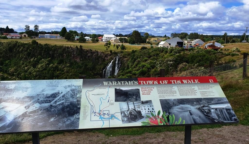
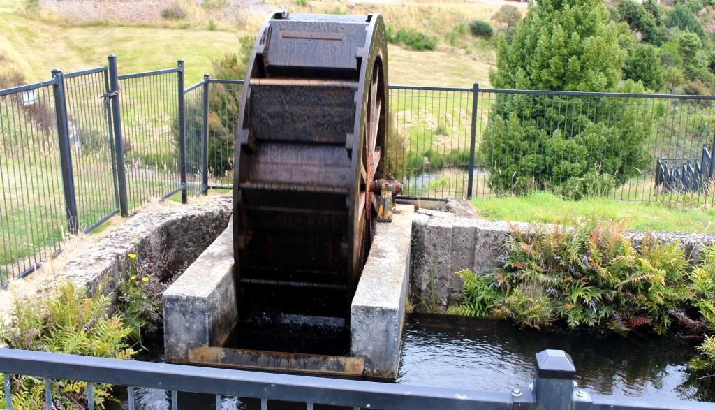
As I learned in primary school, Waratah is the home of the Mount Bischoff tin mine. The body of ore was discovered in 1871 and mining commenced, initially using water from the water fall in the middle of the town, in a sluicing process. Later the water fall was used to power one of Tasmania’s first hydro electric generators to power the tin refining process.
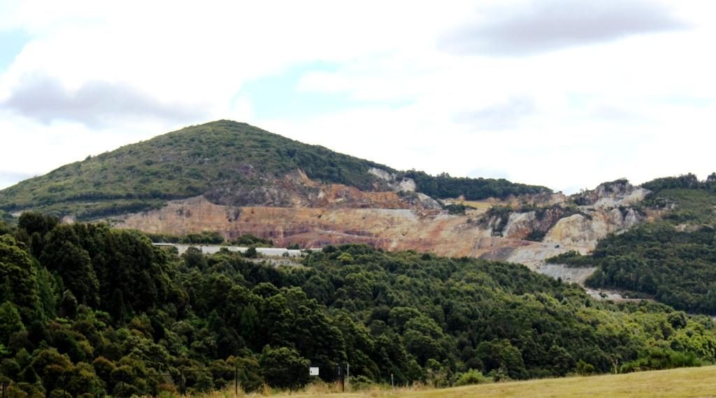
Tin mining continued until 1929, but was opened again in 1942, to support the war effort. It finally closed permanently 1947, about the time that I was learning about it at school. Displays in the town relate to those times. A walking trail leads into the gorge where those with the time can see more of the mining relics. The excavation activities created a huge gouge into the face of the mountain, although much of the mining was under ground.
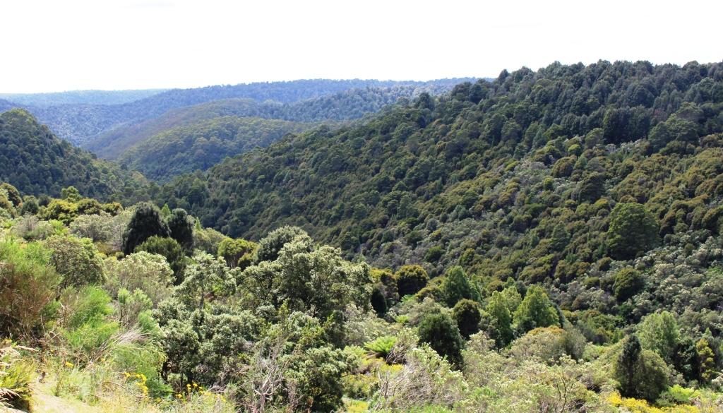
We continued south to Tullah, after which we had a choice of road. We chose the route nearest to the west coast, through Rosebery and Zeehan. Tullah is a Tasmanian Hydro Electricity town with some tourism based on two large man made lakes. Rosebery and Zeehan were both mining towns. Zeehan was a tin, silver and zinc mining town. We returned to Zeehan a couple of days later. Rosebery was a gold, zink and copper mining area.
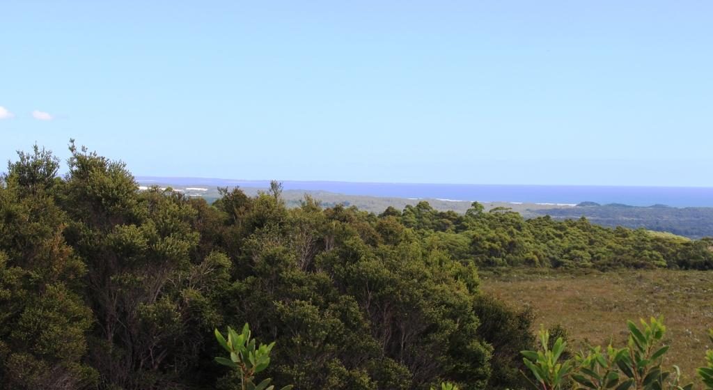
After Zeehan the road swings west towards the coast and crosses a winding mountain range, the road running through rain forest that is often like a tunnel. As the ocean comes into view a lookout has been provided. It gives sweeping views of the coast including the distant Cape Sorrel Lighthouse at the mouth of Macquarie Harbour, but you need a long lens or binoculars to see the lighthouse clearly.
The drive to Strahan from here is along the coastal plain, mostly behind sand dunes. The road, known as the Murchison Highway, for the entire distance from Burnie is well formed and sealed throughout, although a bit on the narrow side, as are many of the secondary roads in Tasmania. Our accommodation for the next three nights was in a cabin in the Strahan Caravan Park.