Day 47 – 13th May – Castlemaine to Kerang – 165 Km
At this point we deviated from the original plan, which was to turn south to Geelong, drive the Great Ocean Road and then turn north through Western Victoria. This part of the trip was predicated on reasonably warm weather so had been in some doubt since the weather had turned cold a couple of weeks before. But when we saw the forecast for wind, rain and very cold conditions we decided to keep moving north. In this decision Mildura was abandoned as well. We would go to Mungo National park via Balranald.
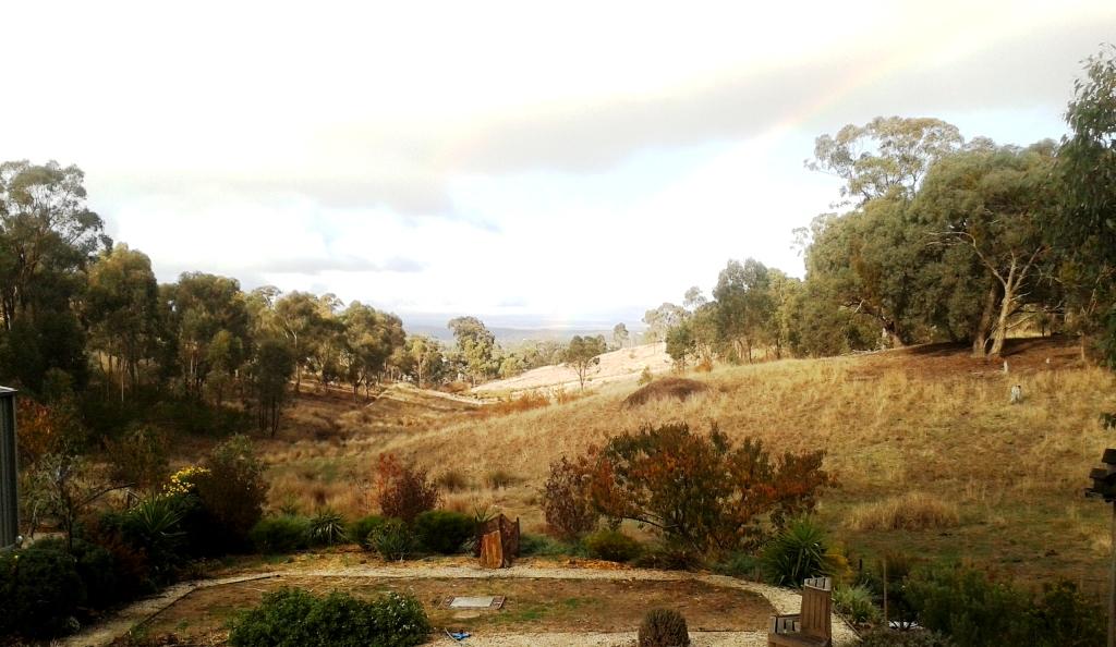
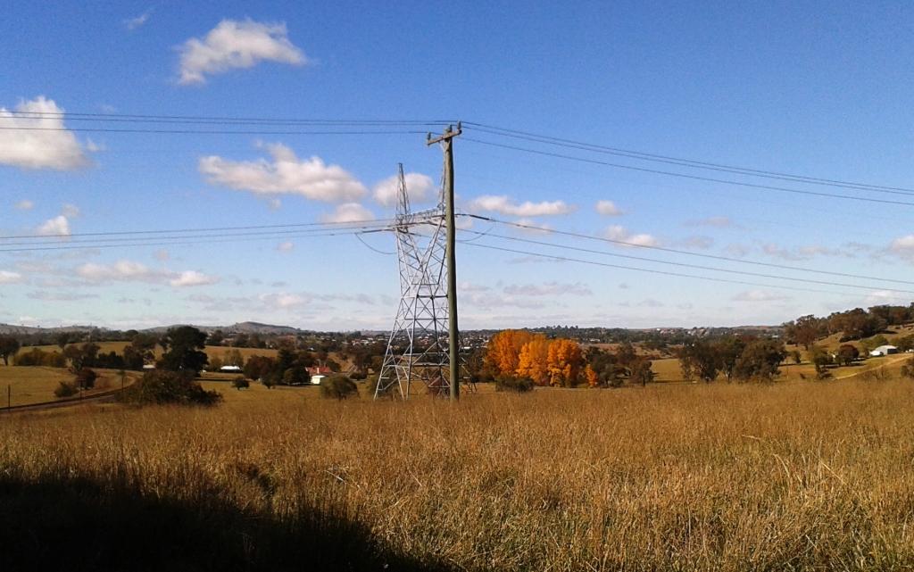
Once through the ever spreading suburbs of Bendigo the road to Kerang is on the edge of the Murray Valley. This area produces grain in copious quantities. The fields, often trimmed by rows of trees, alternated between last year’s stubble, ploughed awaiting grain and already planted. Many areas have had insufficient rain to plant yet so all eyes are turned to the sky. So were ours as a huge rain storm seemed to follow us for a while, but it crossed our path to the rear. We had heavy rain that night.
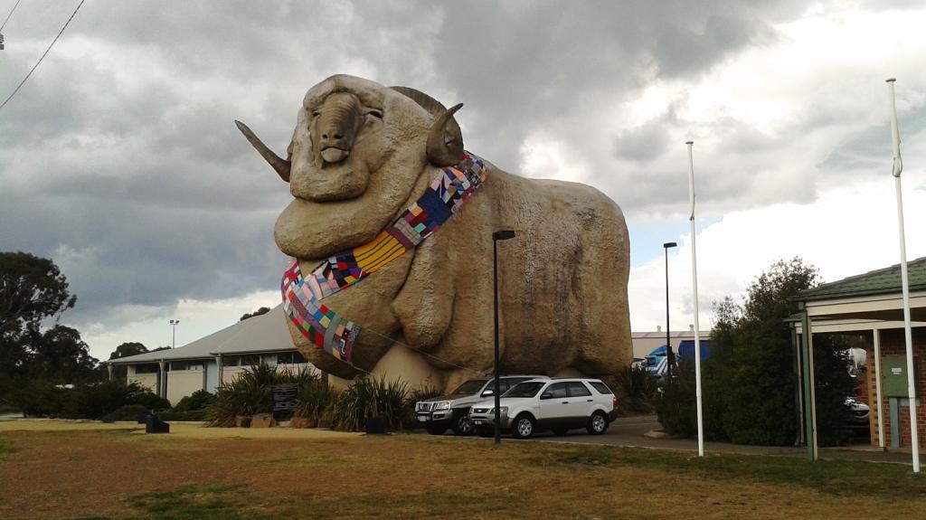
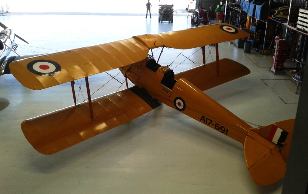
A surprise along the way, at our lunch stop, was the town of Serpentine. This small country town was the site of Australia’s very first air race. Four aircraft fought out the battle for first place. A small memorial commemorates the event.
Day 48 – 14th May – Kerang
Reporting deadlines were due in the next couple of days, so we stayed in Kerang for a second night. It was a good day to stay in the van and work. It was cloudy, windy and cold all day.
Day 49 – 15th May – Kerang to Griffith – 341 Km
Ruth’s knee continued to give her problems and the need to be constantly climbing into and out of both van and car was awkward and painful. Add to this that the coming couple of weeks of the trip would take us into much rougher country the sensible conclusion was that we should head for home. We decided against a dash and instead decided to make our way north via the Kidman Way.
To put this revised plan into action we started out to the north across the Murray River to Deniliquin, turned east to Finlay and then made our way along the Newell Highway to Jerilderie, where the Kidman Way commences. The Kidman Way, of course, is named in honour of Sir Sydney Kidman, one of Australia’s true beef industry pioneers.
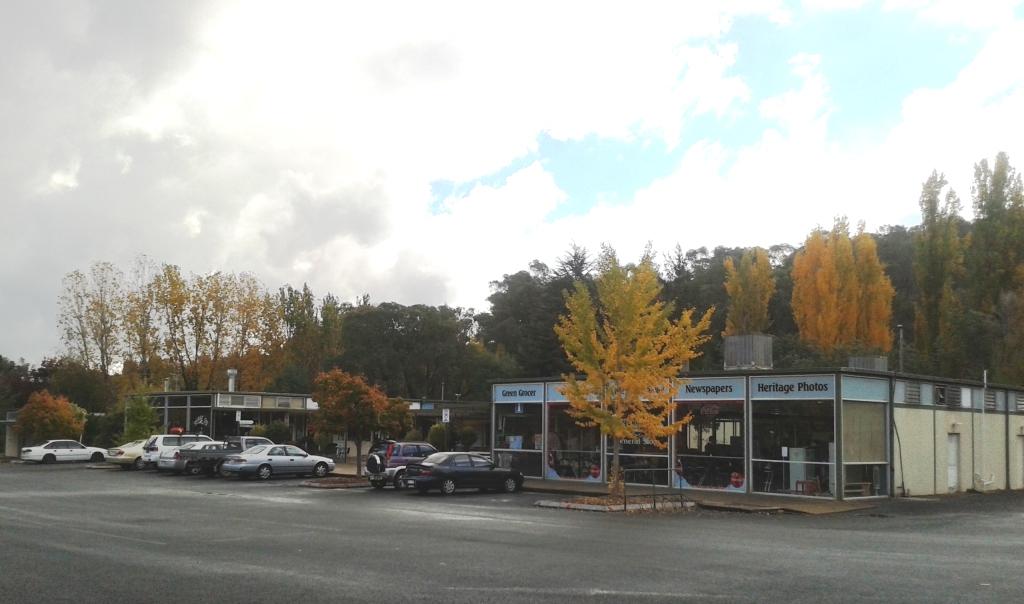
This southern area of NSW is flat grazing country with some agriculture. We travelled through this kind of country until we reached the irrigation area at Coleambally and then Griffith. As we approached Griffith the vineyards and orchards increased and lead into the commercial sprawl which seems to occupy the roadsides into towns of this kind.
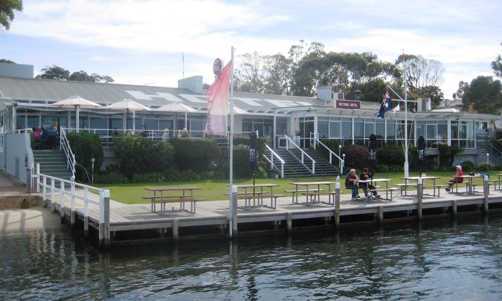
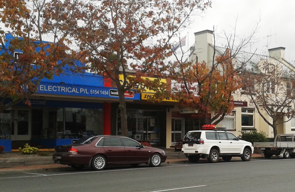
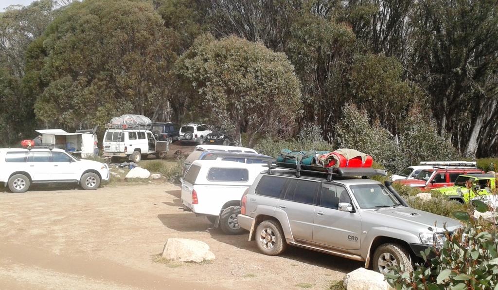
We found a parking spot near a grocery store to do some shopping. This activity took us along the main street both going and coming. It has to be one of the longest shopping strips we have seen and one of the busiest as well. We found a caravan park and settled for the night.
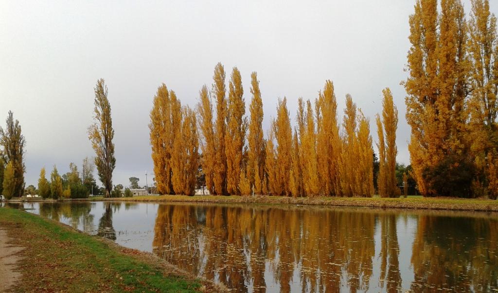
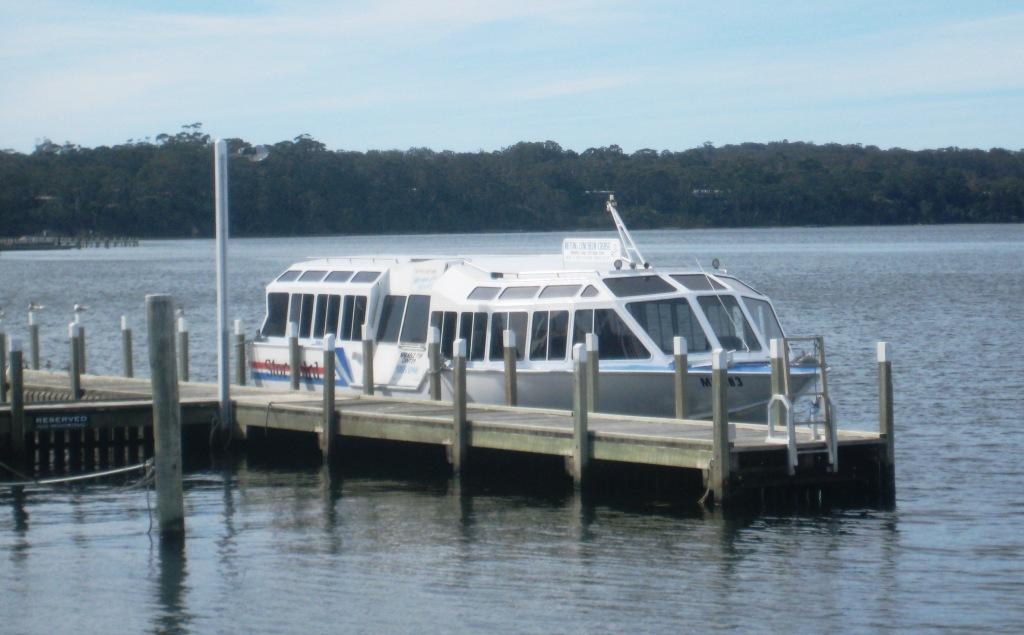
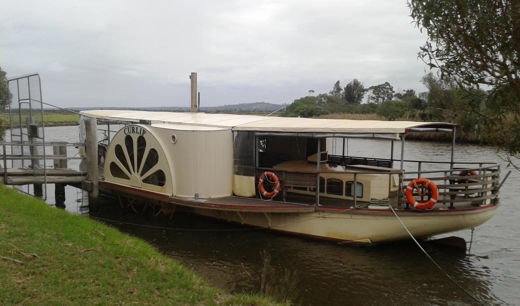
The RV parking area at Griffith is right by this attractive canal.
Day 50 – 16th May – Griffith to Cobar – 366 Km
The day dawned with a heavy fog blanketing everything but soon the sun started poking through with the promise of a better day. The gentle climb out of town took us past more vineyards and orchards but then the country flattened to rich agricultural and grazing land. We passed several large wheat silos with additional grain stored under tarpaulins. Last year must have been a good harvest.
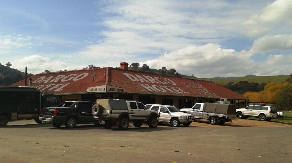
The main town on the way to Cobar is Hillston, a town about which I knew nothing. I joked to Ruth as we left Griffith “If there is a McDonalds at Hillston I’ll have a skinny chino”. There was no McDonalds but as we pulled into a caravan parking space (Hillston is a RV friendly town), to continue the joke, I said “I’ll have fresh scones for morning tea”. I didn’t even get a laugh!
As we got out of the car Ruth said, “Isn’t that a coffee shop over there?” So we were introduced to The Shed on the Lachlan, where we did enjoy a skinny chino and fresh scones with jam and cream. We were a bit early for sausage rolls. They were under construction in the food preparation area behind the counter. The building was in the style of a shed with the river literally at its back door.
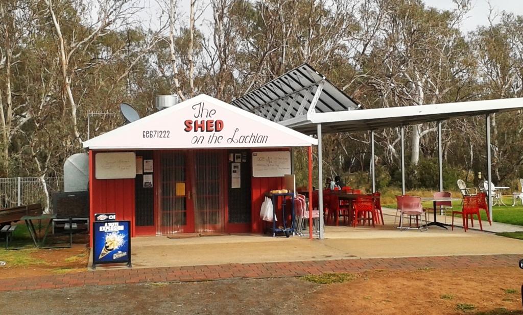
The Shed on the Lachlan. The coffee shop at Hillston.
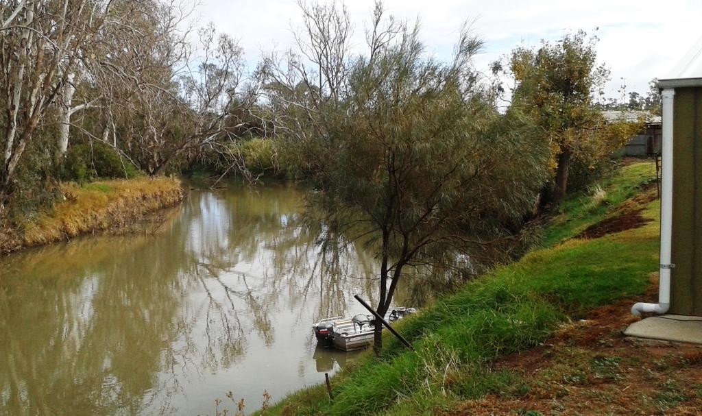
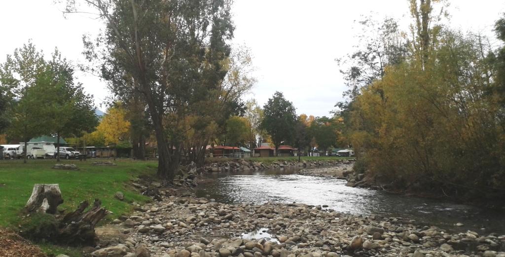
The Lachlan right behind the Shed.
Hillston is a substantial town and is a service centre to grazing and agriculture and cotton production. The cotton harvest has recently finished and large yellow wrapped cylindrical cotton bales were lined up in the fields waiting for transport.
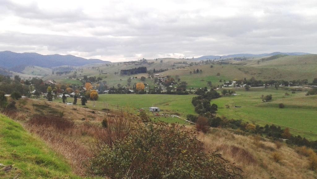
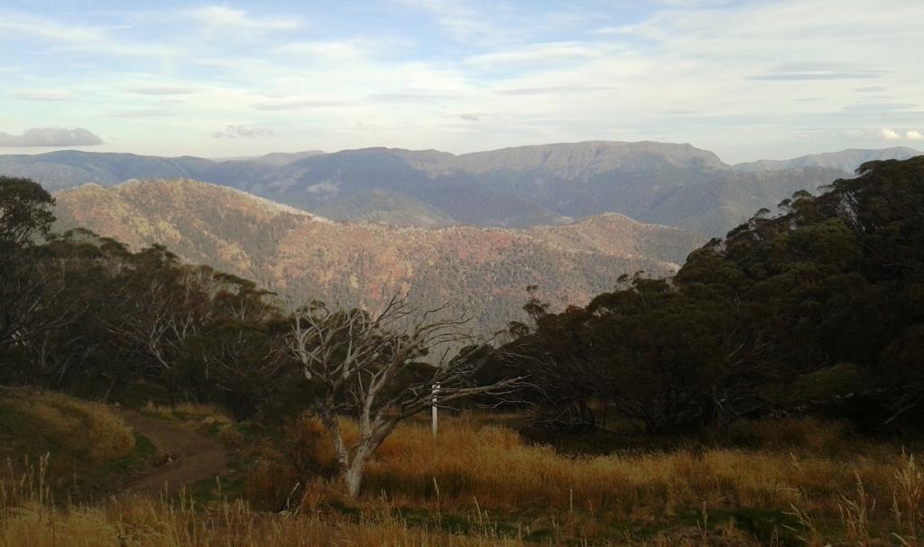
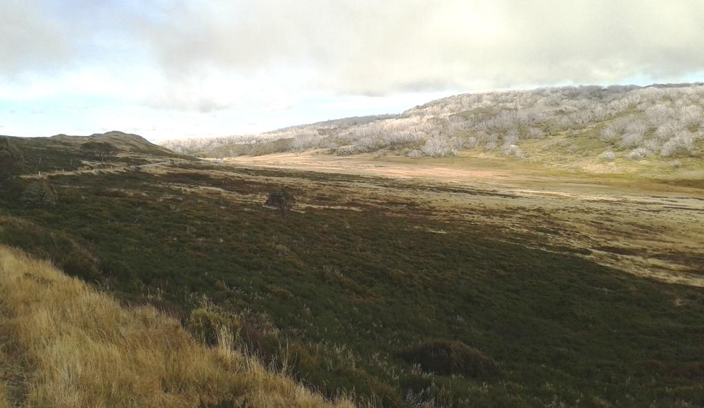
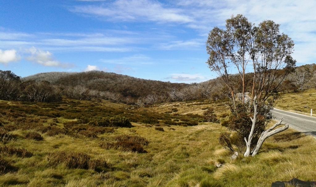
The country through which we travelled as we approached Cobar.
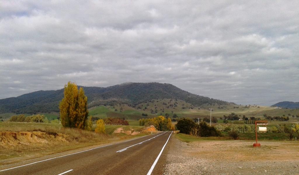
Finally the flat farming lands gave way to low hilly scrub covered country that continued until we reached Cobar. The initially fine day gave way to dark patches of rain clouds which moved in strips across the landscape producing alternatively wet and dry sections of road.
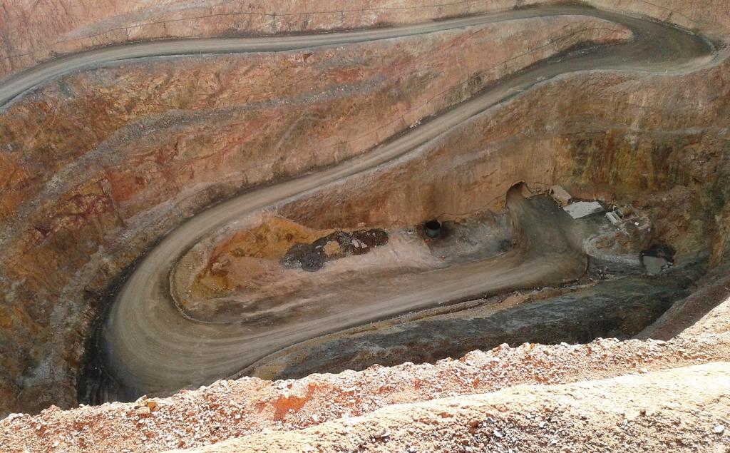
The deep hole of Cobar’s copper mine.
Cobar is a mining town with a very deep hole just outside the town where copper has been extracted. We drove to the look out where we could see to the very bottom of the hole and then drove around some of the back streets of town looking at the miners’ cottages. Most were small, many with clear signs of extension and a substantial proportion probably getting on towards the century mark.
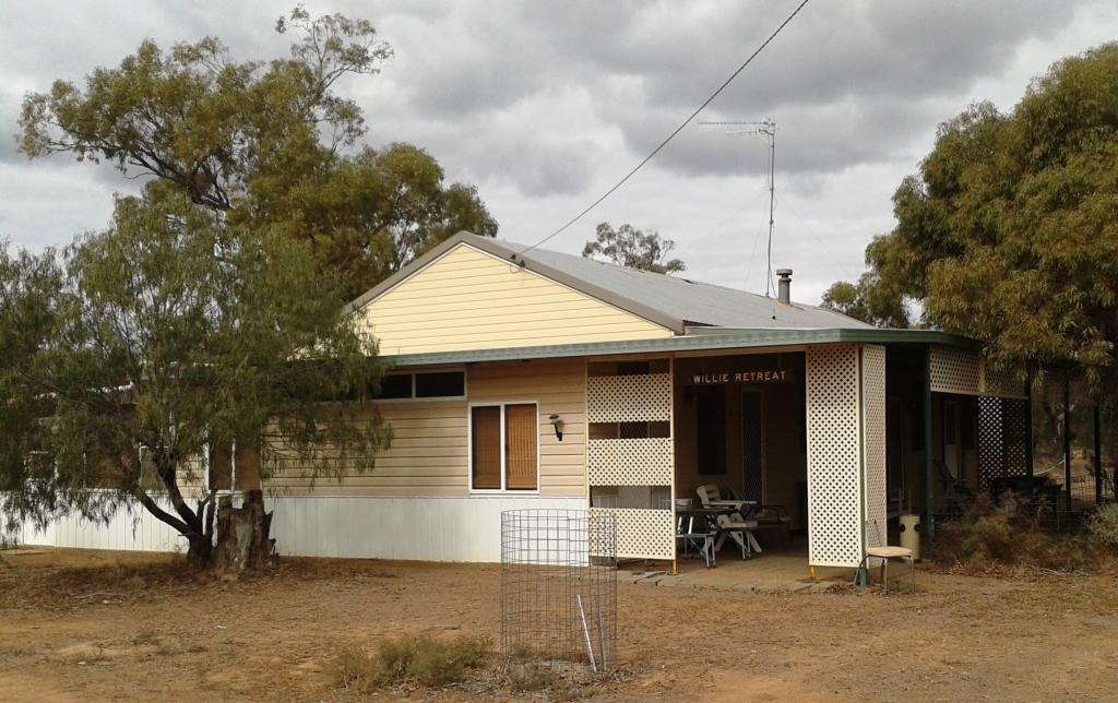
Day 51 – 17th May – Cobar to Willie Retreat – 235 Km
I have been interested in the Macquarie Marshes since reading about the grief they gave to some of Australia’s early explorers. They stretch from Warren in the south almost to Walgett in the north. A visit had been in our south bound itinerary but got bumped for other activities. Since the area was not too far from our path home we decided to visit for a couple of days and stay at Willie Retreat on Willie Station.
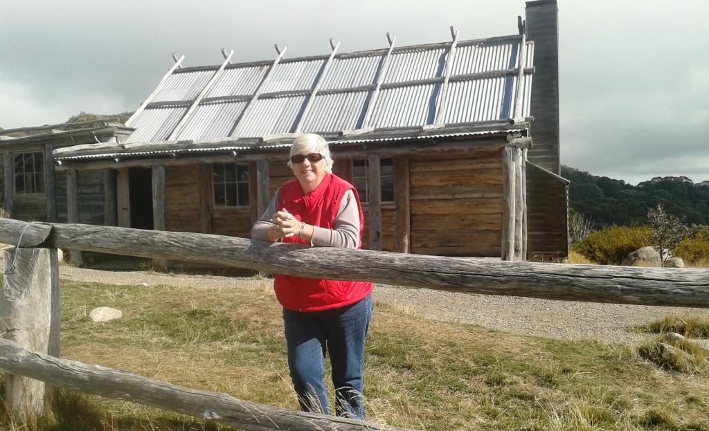
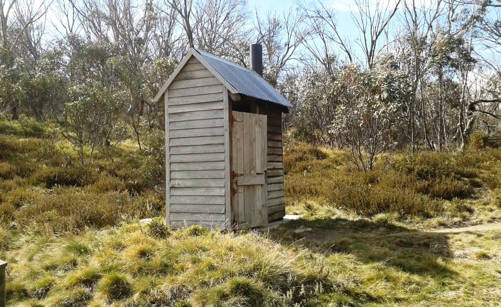
The shearers’ quarters anr the main accommodation building.
To get there we abandoned the Kidman Way at Cobar and turned east to Nyngan. Then we travelled in a north easterly direction for about 110 Km over sealed reads that started at full width but progressively narrowed until just wide enough for one vehicle. We were passed by two and met by only one vehicle in the whole journey. The country was uniformly flat with most trees along water courses and passed station homesteads or roads regularly both sides. We ran out of tar and onto a good dirt road about 10 Km from Willie Retreat. Our lunch stop was by Duck Creek without a single duck in sight.
Willie Retreat is on Willie Station which abuts the southern Macquarie Marshes. The station no longer runs cattle or sheep but Myra Tolhurst, survivor of a partnership with her late husband Philip, runs the Retreat for visitors to the marshes. In the few days before our arrival she played host to a national parks training group who were being taught how to shoot feral animals from a helicopter.
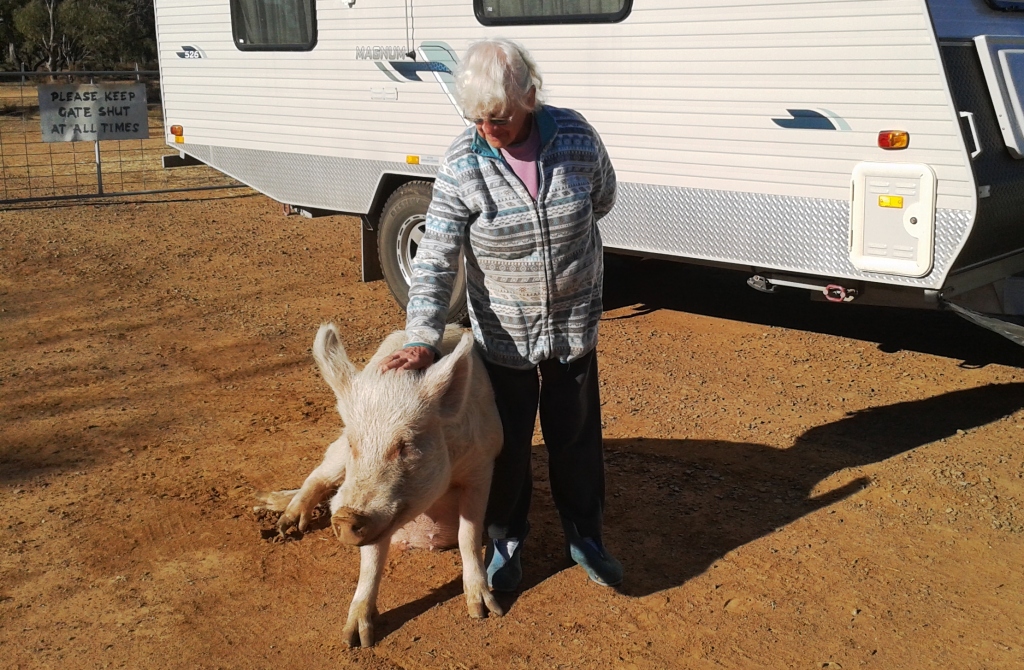
Myra with Patrick the pet pig.
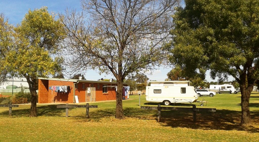
Willie Retreat is not a caravan park but a station stay with facilities suitable for that purpose. Like many such establishment the accommodation is based on the original shearers’ quarters. A bit rough but comfortable and supplemented by a bunk house, on site vans, powered van sites and an extensive camping area.
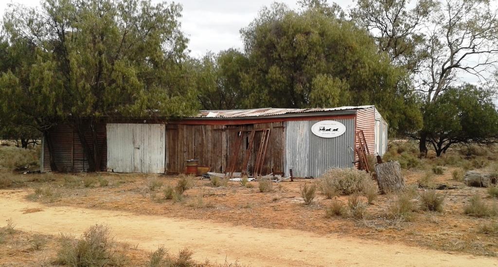
The station is on a historic road and hosts the remains of a Cobb & Co depot.
Day 52 – 18th May – Macquarie Marshes
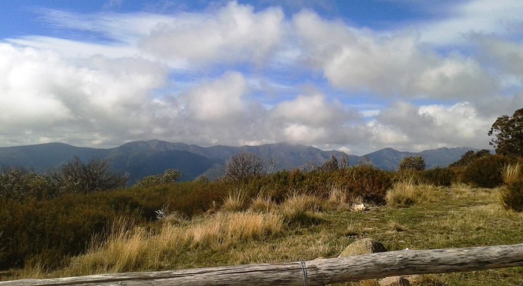
Yesterday’s sunshine was a memory and a cloudy cold day a reality. We made a late start and rewarded ourselves for our lack of application with bacon and eggs for breakfast. We walked around the property greeting the pet emus and examining the edge of the marsh which, at the moment, is more dry land than wet land. It has been dry in this part of NSW for the last year or so.
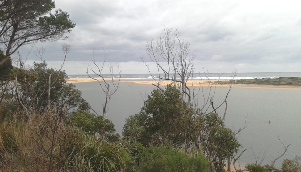
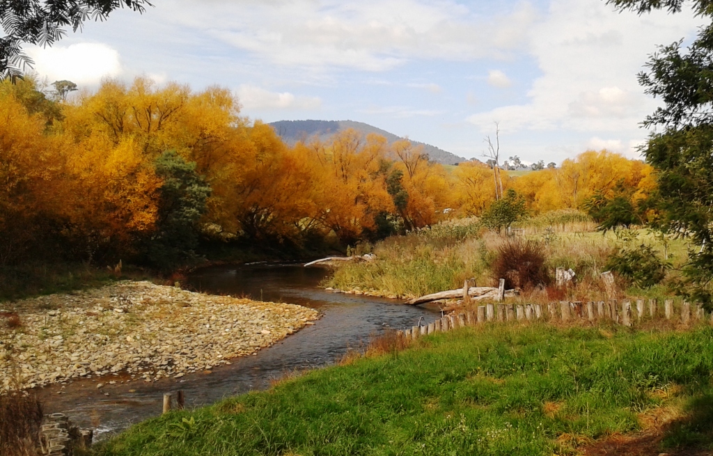
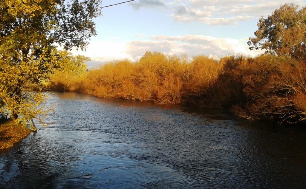
The Macquarie River near Willie Retreat.
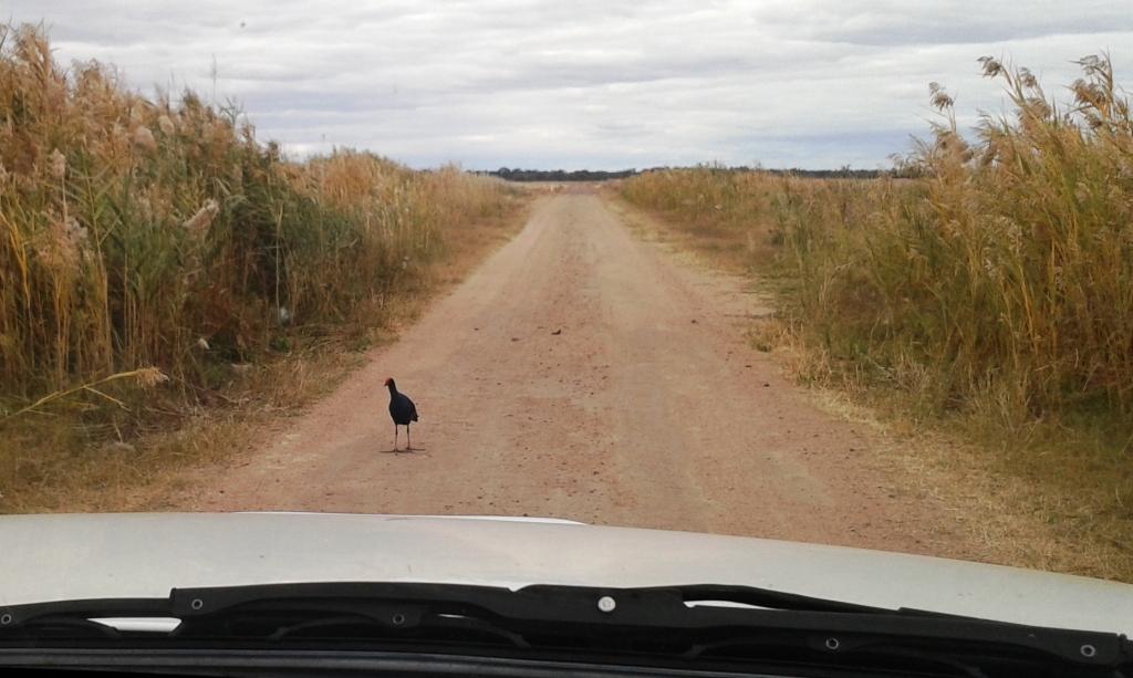
A black winged stilt blocking our way.
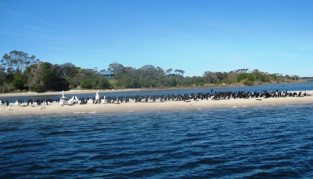
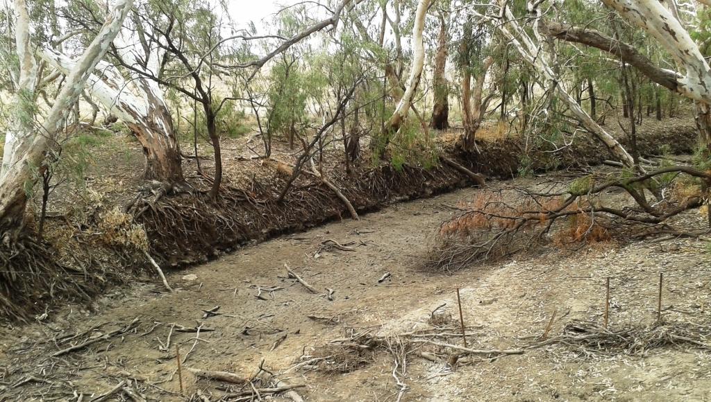
After lunch we drove along the dusty Gibson Way that runs through the middle of the marshes. This road is cut when the Macquarie is in flood. The Macquarie River, just 1 Km down the road, is totally dry but as we drove on we found a few places where we could see the marshes as they are in wet conditions. There were lots of water birds but few compared to the number involved in the mass breeding of recent years.

This picture should have contained water and birds.
The road is dirt and was in good condition but a bit dusty. Rain turns it into a quagmire. We decided to drive its full length to the small town of Quambone on the eastern side of the marshes. The sign at the entrance of the town advises that 197 people live in the Quambone district. That would include those residing on station properties.
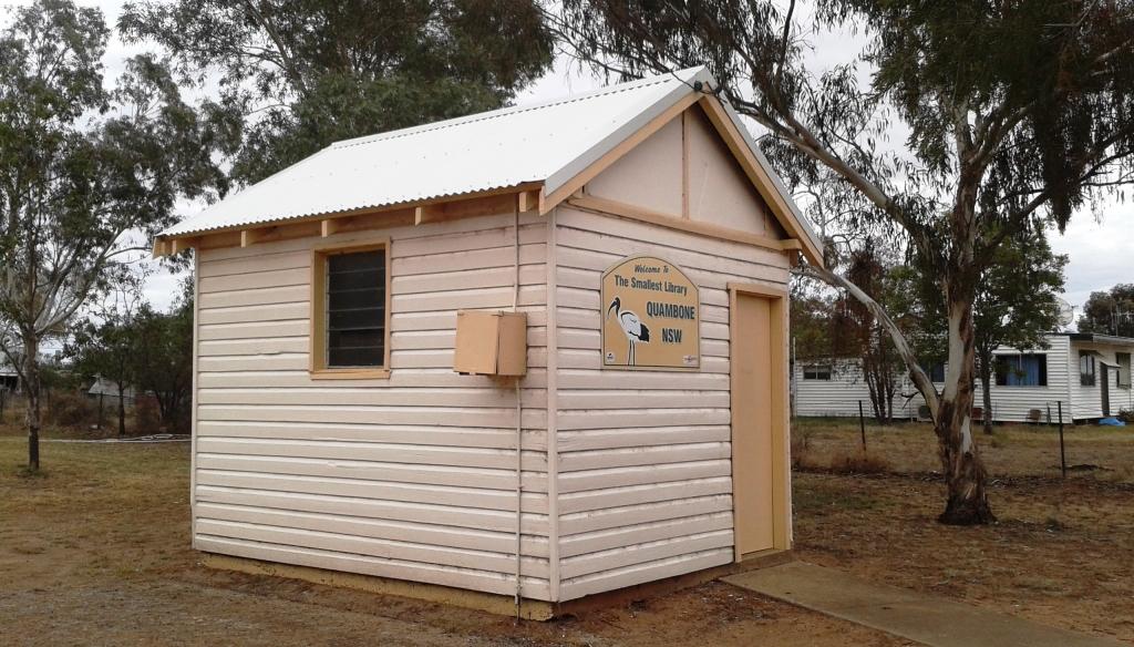
Quambone claims the smallest library. And it has propper sized books.
As we drove along the main street we noticed great activity around what appeared to be the only shop. We stopped to investigate when we saw a sign that said “Paint today, free lunch tomorrow”. It seems that the previous owner of the shop, which is also the post office, allowed it to almost run to a dead stop. A young couple from Perth have taken it over and are trying to turn it into a general store, coffee shop and take away business. But there is no quick fortune to be made here so getting it up and running was a real challenge.
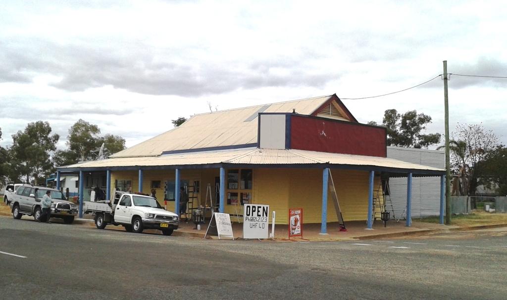
The working bee at the Quambone store.
Somehow the local Salvation Army rural chaplaincy found about the problem and with the help of a Rotary Club from Canberra set up a project to renovate the building. So a team of workers arrived in town and set to work. The team had to return home on the previous day but the painting had not been completed. So the Salvation Army chaplains (husband and wife) and some volunteer farmers were painting and putting on finishing touches. We contributed by having coffee and cake and posting it on Face Book. We chatted to the helpers. Lovely people all!
Day 53 – 19th May – Willie Retreat to Lake Keepit – 360 Km
Our journey east crossed our southbound track at Coonamble on the Castlereagh Highway. We left Willie Retreat at about 9.30 am after acquiring a bottle of Willie Retreat honey. River Red Gum flavour!
The first part of the journey retraced our drive of the previous day to Quambone, then to Coonamble, Baradine, Coonabarabran where we stopped to shop and for lunch and finally to Gunnedah and the caravan park overlooking the waters of the dam at Lake Keepit State Park.
It was a very cold night at Lake Keepit, with a minimum of around 0C.
Day 54 – 20th May – Lake Keepit to Warwick – 476 Km
We had not previously driven the length of Fossickers’ Way so this was a good chance to do so. The track or the day took us through Manilla, Barraba, Warialda, Texas, Inglewood and Warwick.
A slight mishap occurred as we passed through Manilla. The bridge over the Namoi River is narrow. Four vehicles were coming in the opposite direction as we drove onto the bridge. Number three vehicle was a little too close to the centre line of the roadway and hit and destroyed our right hand towing mirror with a frame to hold a towing mirror on his vehicle. So the left hand mirror had to be moved to the right hand side and we finished the trip with only one mirror.
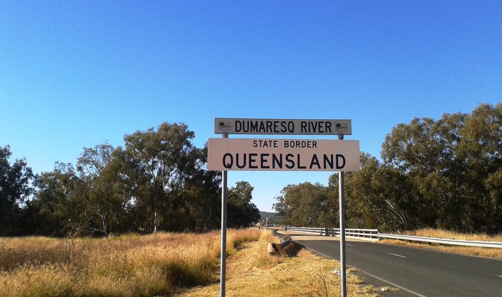
A blue sky welcome to Queensland.
We had started the day under cloudy skies but as we approached the Queensland border the cloud ended in a straight line across the sky and beyond this was clear blue. But it still wasn’t warm. The cold weather is following us, or perhaps it has come on ahead.
Day 55 – 21st May – Warwick to Home – 239 KM
There was frost on the ground in the caravan park at Warwick. The park manager had remarked, as we booked in the previous evening, that he had lit his fire the day before and did not expect to let it go out until September.
We avoided Cunningham Gap on the Cunningham Highway to miss the road works that are still under way repairing damage caused by the deluge over the area earlier in the year. We took the Clifton to Gatton Road instead. This is a fairly narrow road but is a pleasant drive through a gorge and then through farm lands culminating with the small crops of the fertile Lockyer Valley.
We arrived home at about 11.30 am to commence the inevitable task of unpacking the van and getting back into the routine of daily life.
Ruth has an appointment with the doctor tomorrow morning so we will keep that and see where it leads.
Footnote: The doctor prescribed physiotherapy. The first treatment occurred this afternoon