
6th to 8th February 2020
Please Note: Videos covering the material in this blog post can be found at the bottom of the post.
On our first day on Tasmanian soil our first priority was breakfast and then the purchase of some supplies. The food that we were able to take into Tasmania was limited to prepackaged items. We then drove south from Devonport to Sheffield.
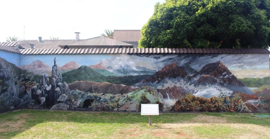
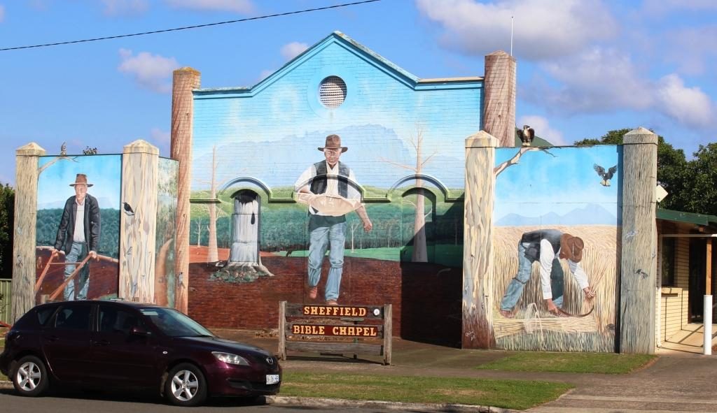
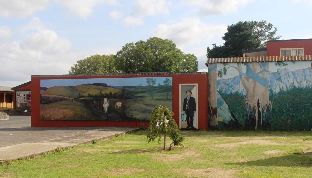
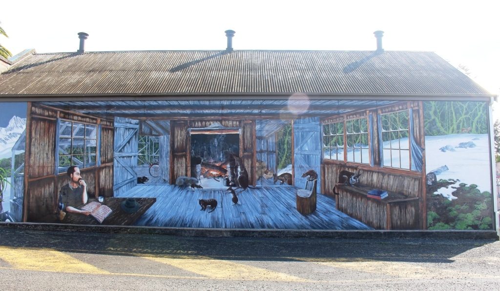
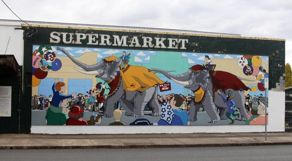
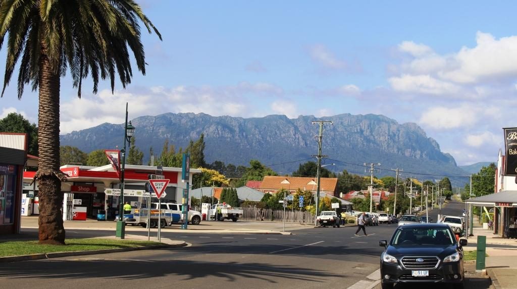
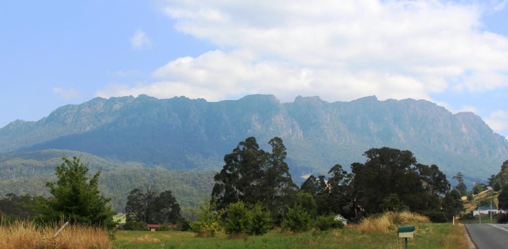
This farming town is famous for its murals. It is built atop a hill, providing rural views in all directions. The most arresting view is to the south west where the huge bulk of Mount Roland fills the lower sky. The mountain is a multi peaked rocky range reaching a height of 1,234 metres. It has a number of walking tracks, but they were not in our plans. Tasmania is a walkers’ paradise, but you need time. Before we went there we had not even heard of Mount Roland, let alone its walking tracks.
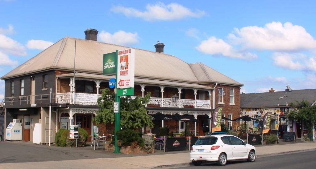
Sheffield is, like so many in Tasmania, comprised predominantly of older buildings. Many provide a suitable canvass upon which artists have painted expansive scenes. The town’s first mural was unveiled in December 1986. Since then over sixty murals, depicting the area’s rich history and beautiful scenery, have been painted on walls throughout the district.
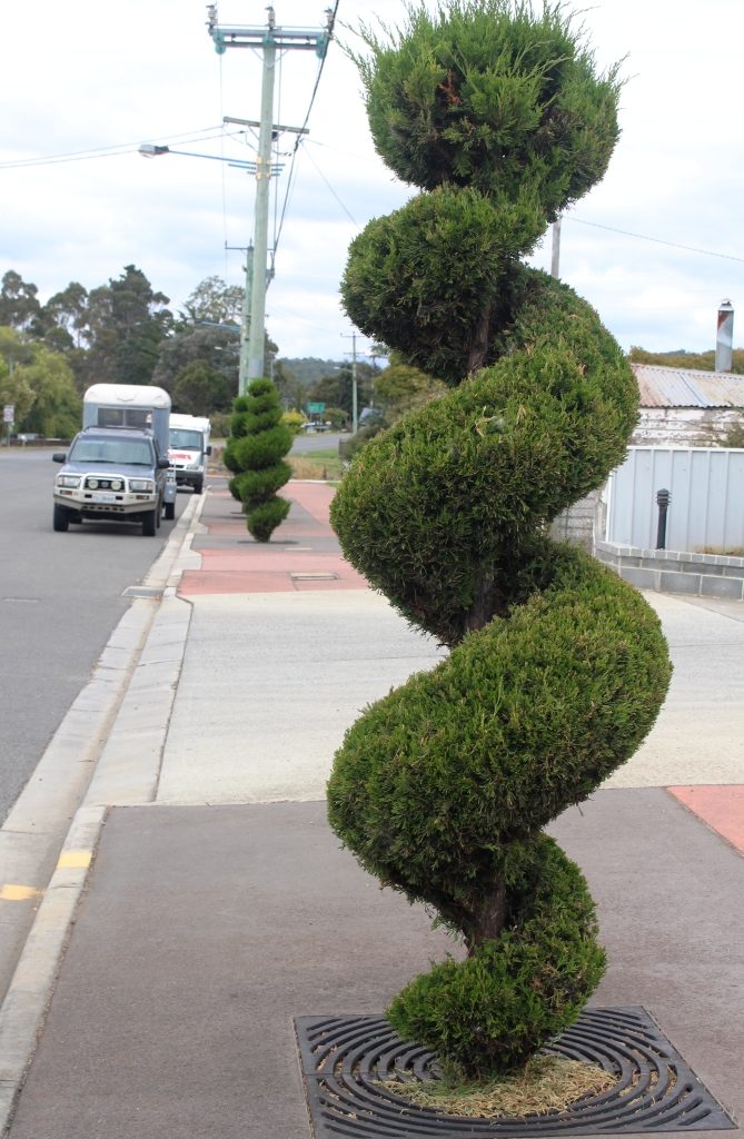
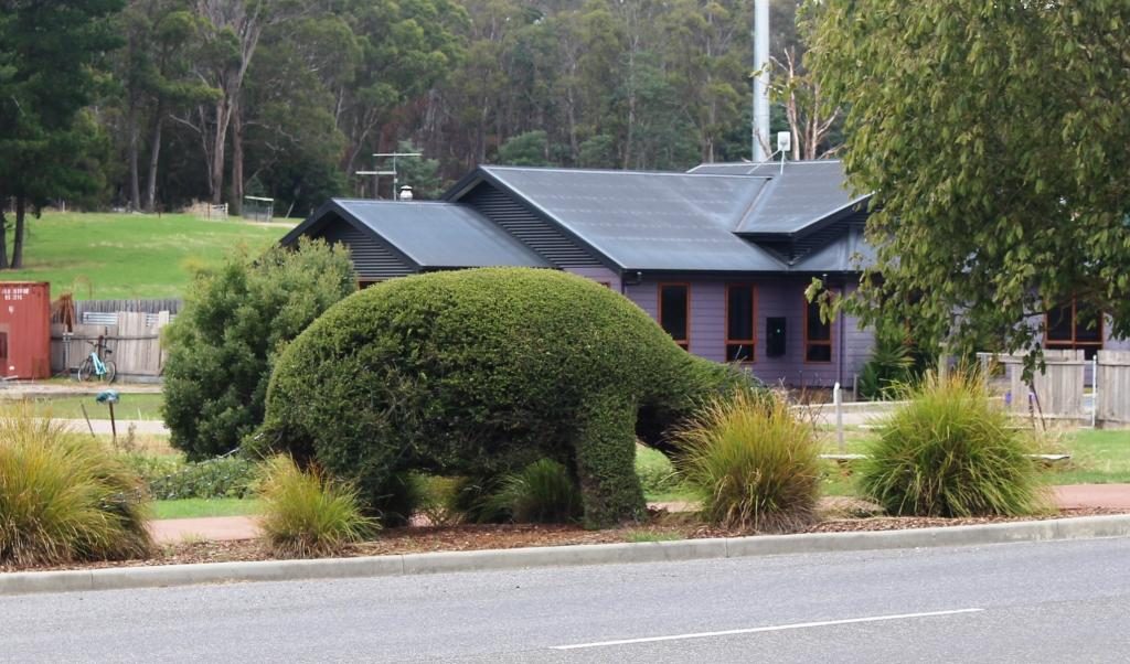
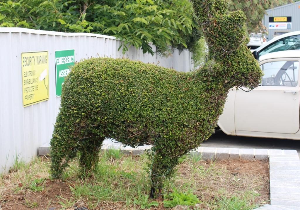
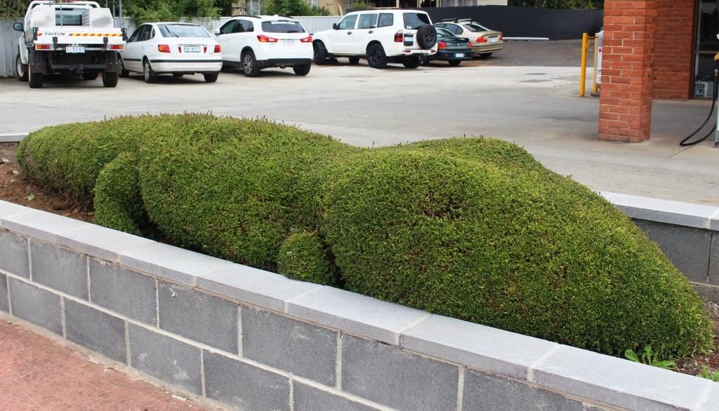
After coffee, we moved on to the neighbouring town of Railton, known for topiary, which I learned, is the art of shaping trees, shrubs, hedges etc., by trimming them.
We then moved on to Elisabeth Town by continuing on the same road, until it met the Bass Highway, the main road that runs along the north coast of Tasmania. We were looking for the Christmas Hills Raspberry Farm, the sign for which was not visible from the Railton Road, which we had just driven, or perhaps we missed it.
We turned left at the intersection, stopped and entered the name into Google maps. We were directed to drive the way we were facing until we reached a left turn 8 km further on. But the indicated road was not there so the navigator revised its instructions that included a large increase in the distance. We could see that we were well towards Latrobe, a town that we wished to visit, so we kept on going.
Latrobe is known for its antiques and I am known for not being very interested in them. Its other claim to fame is that the sport of wood chopping was developed there. As the son of a onetime timber cutter, that fact held interest for me. There is a museum there which we drove past, but did not have time to examine.
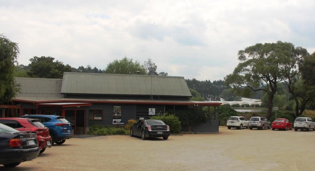
But the town supplied a lunch stop on the banks of the Mersey River and a helpful lady at the information centre who supplied a map that showed us exactly where the raspberry farm was. It was a couple of kilometers in the opposite direction at Elizabeth Town.
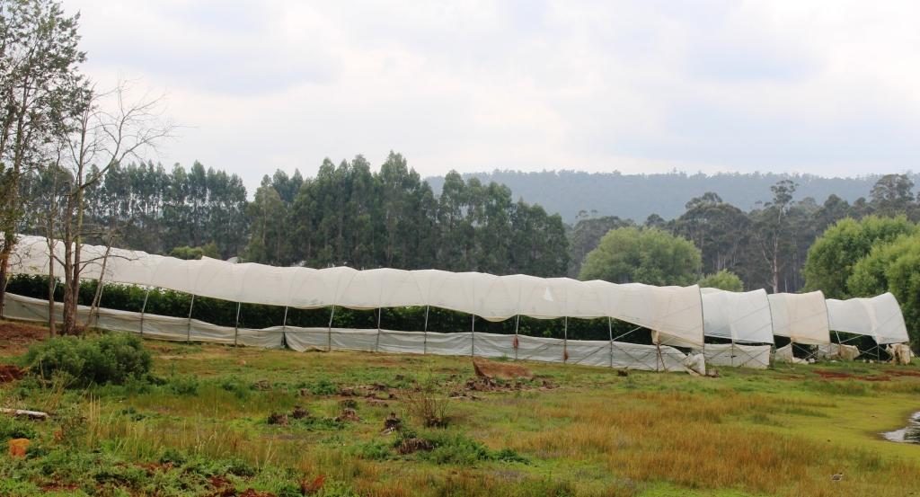
The raspberry then farm became our next destination. As a tourist attraction it is more a restaurant and ice-cream shop, but a walk leads past an ornamental lake (also their water supply) to the sheltered growing area. We had not long finished lunch, but ice-cream seemed appropriate. The raspberry flavour was delicious, as was the free sample chocolate coated raspberry.
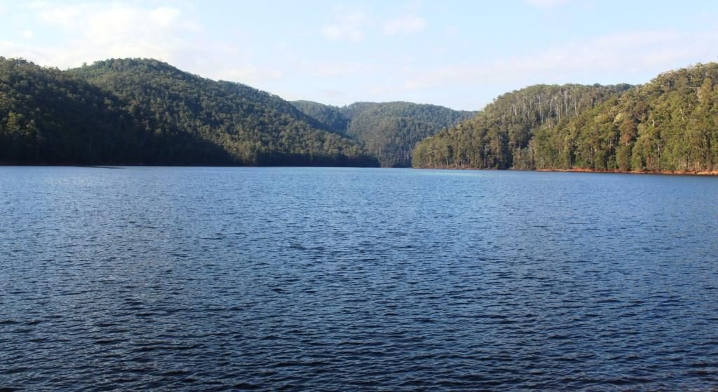
The day was slipping away so we moved on. To reach Moina, where we were spending a couple of nights, we continued south to the edge of Deloraine and took Mole Creek Road. Mole creek is one of the locations where Tasmanian Devils can be seen in captivity. Just past the township we turned right, crossed a mountain range to arrive at the town of Paradise and then turned left over more mountainous roads, past more mountains before descending sharply down a steep grade and over the bridge at the foot of Cethana Dam on the Fourth River. We then climbed back up the next mountain, equally steep, to reach Moina.
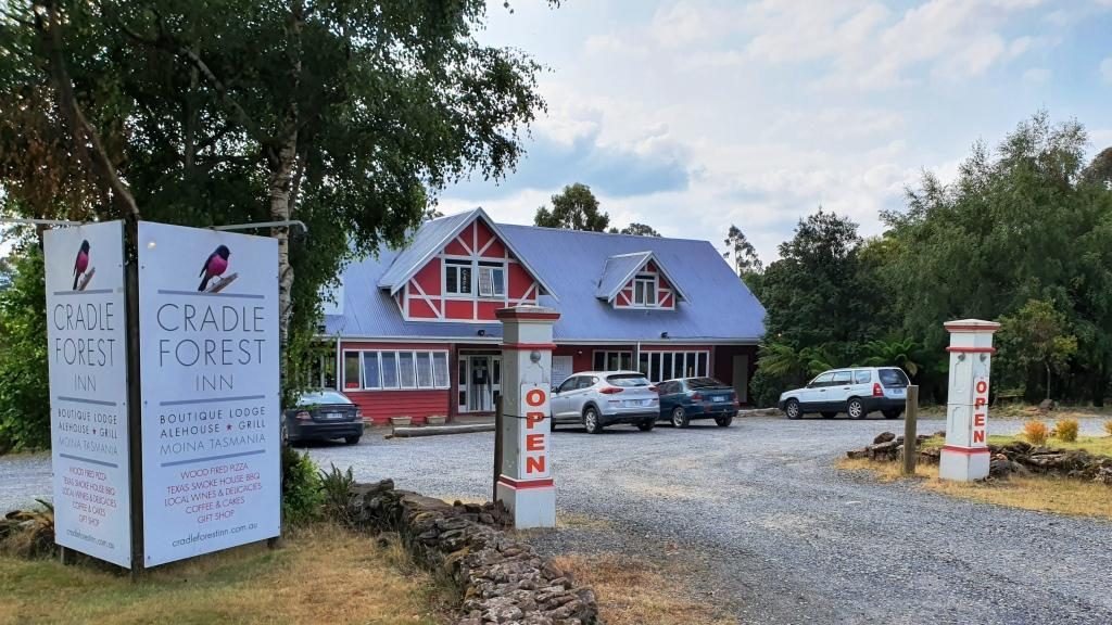
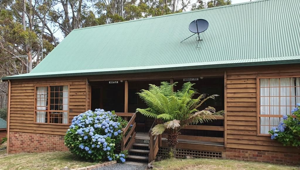
Moina is situated where the road that we were on intersects with the Cradle Mountain Road. We had a comfortable unit in a bush setting. It is part of the Cradle Forest Inn, a Swiss or Bavarian themed mountain retreat that offers a café/restaurant and bar as well as accommodation. There is not much else of Moina but the road side signs suggest that there is no shortage of accommodation in the area. Logical since it is such a short drive away from the more expensive accommodation at Cradle Mountain.
During the latter part of our drive we encountered a lot of smoke haze that made mountain photography a bit difficult. Someone suggested that the cause was fires near Launceston.
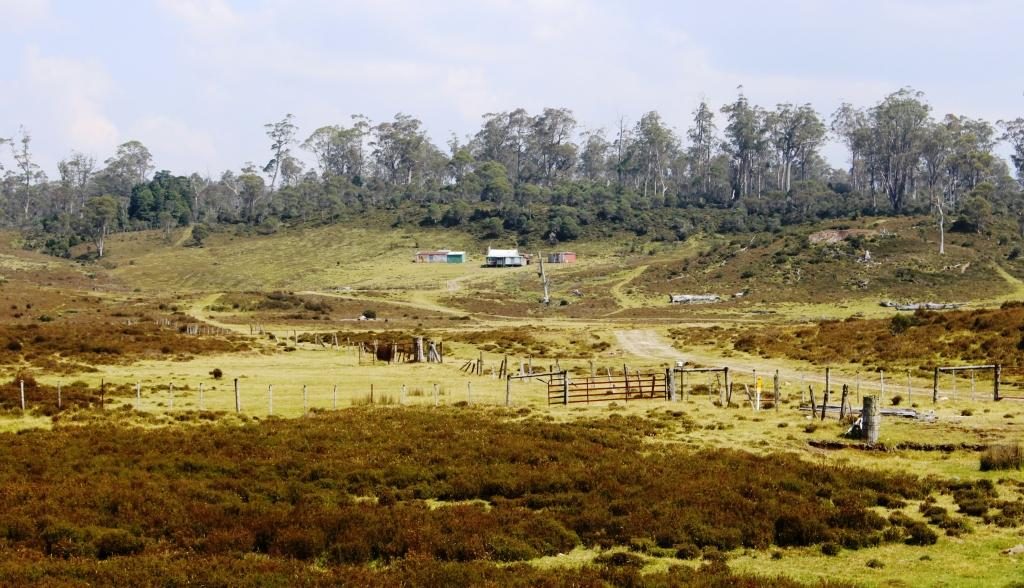
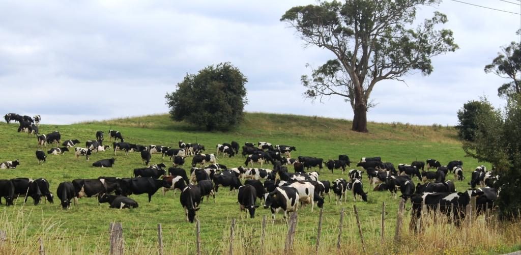
On our second day in Tasmania we started by driving the 26 km to Cradle Mountain. The road leads through mountain farm land with a few isolated farms. The area is around 500 metres above sea level.
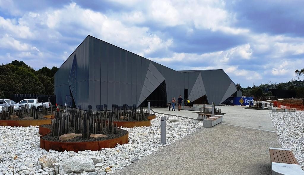
A new looking visitor centre has been built not too long ago, with a large parking area to handle the crowds. This is a popular place. The parking area was substantially full when we arrived at about 10.00 AM. It is possible to drive a bit further in, but our National Park pass provided free shuttle bus transport to the tourist area, so we chose that option.
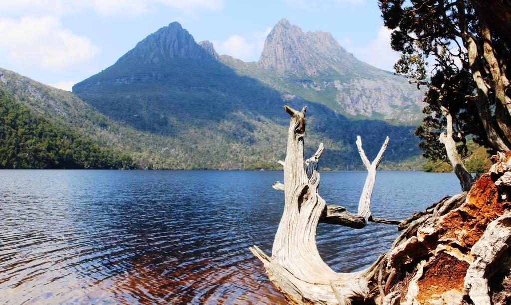
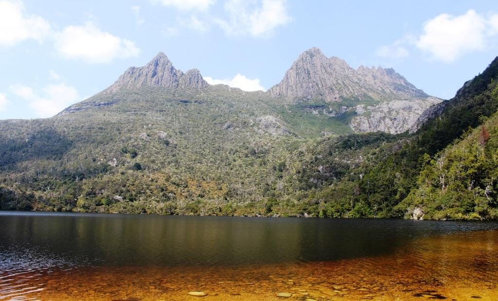
After coffee in the café, I left Ruth lingering over her refreshments and caught the bus. It was quite a thrill to see Cradle Mountain for the first time. It and the picturesque Dove Lake suddenly appeared as we rounded a corner.
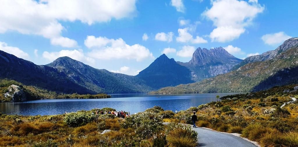
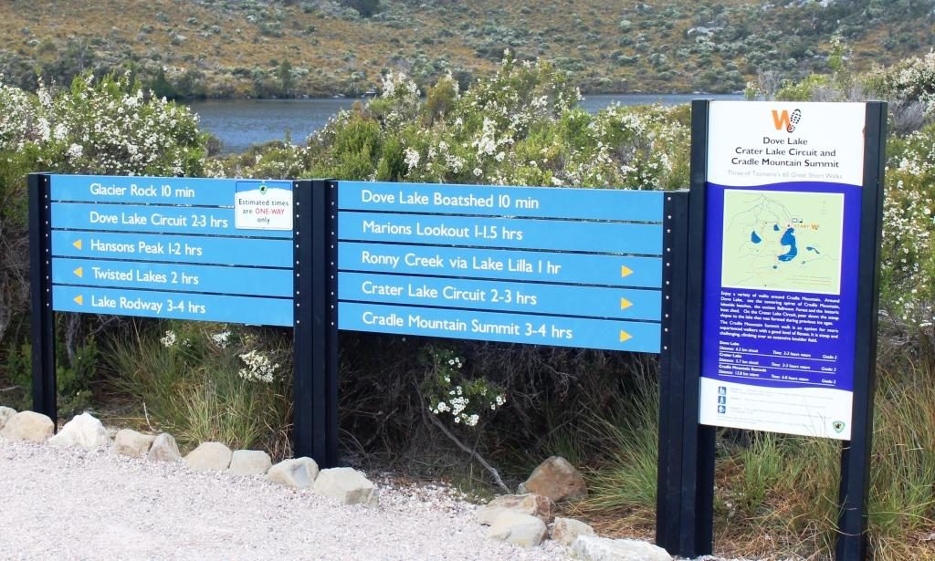
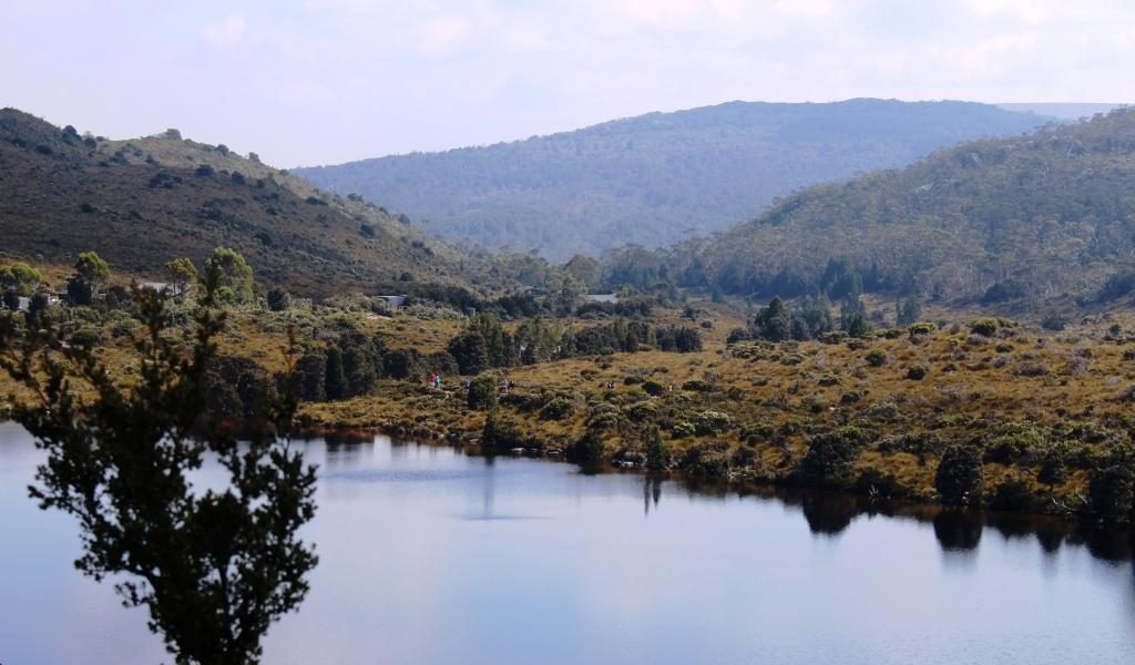
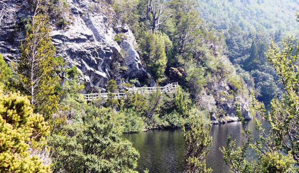
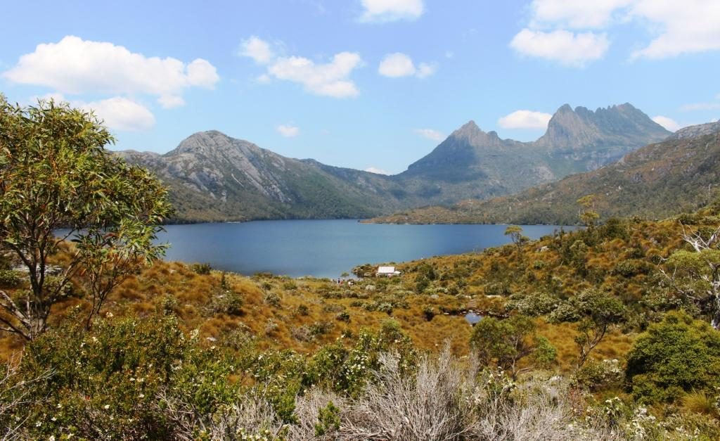
After departing the bus stop I set out on the 6 km walk around Dove Lake. It is one of many walks in the area, some of them much longer, like the overland track to Lake St Clair that takes several days to complete. Most of the Dove Lake track is an easy walk, good gravel and board walks with timber or stone steps where required. I walked clockwise as the earlier part of the walk is easier that way.
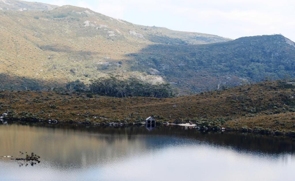
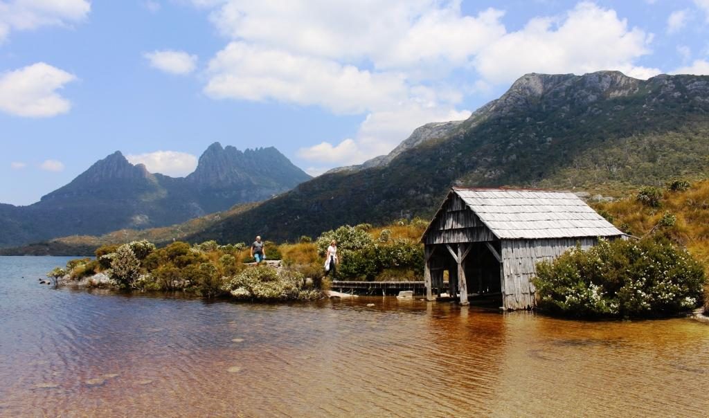
The walk follows the edge of the lake for much of the distance but at about 75% of the way around there is a steep climb over a promontory that juts out into the lake, named Truginini Point. That slowed me down a bit. I was quite happy to see the old boat shed come into view as I reached the top of the ridge. The boat shed is only 10 minutes from the car park and bus terminal, so the end was in sight. Ruth had caught a later bus and was waiting at the finishing line. I achieved the 6.1 km in 1 hour 37 minutes including rests. That’s an average of about 3.8 km/hr. A few breathers were necessary on the steeper climbs.
By the time we reached the visitor centre it was getting on for 2 o’clock, so we returned to the cafe for a late lunch and then returned to our unit at Moina. Then I had a nap. Totally appropriate for an 80 year old who had done all that walking.
We had planned Cradle Mountain at the start of our trip in the hope of getting good weather. The weather could hardly have been better. But it was now time to return to the coast and get on with our anti clockwise tour of the island.
So on day three in Tasmania, breakfast done, we finished packing and headed down the mountain. At Wilmot we made a short detour to see Barrington Dam, one of three long thin dams that have been built on the Forth River. It backs up to where we had crossed the Fourth two days before. We were following the Forth River valley and rejoined the Bass Highway near the town of Forth. But now it was the 8th, the story of which will continue in the next post.,