
When I walked into the office at Tobermorey, two young people were standing near the counter, but there was no vehicle outside. It turned out that the couple had stayed at Tobermorey the previous night and had left that morning bound for Alice Springs, but 53 km along the way had rolled their car. They were both uninjured but were worried about their belongings that they had been forced to leave beside the road, when they accepted a ride back to Tobermorey in a road train. Except for the lady in the office all station staff were out mustering.
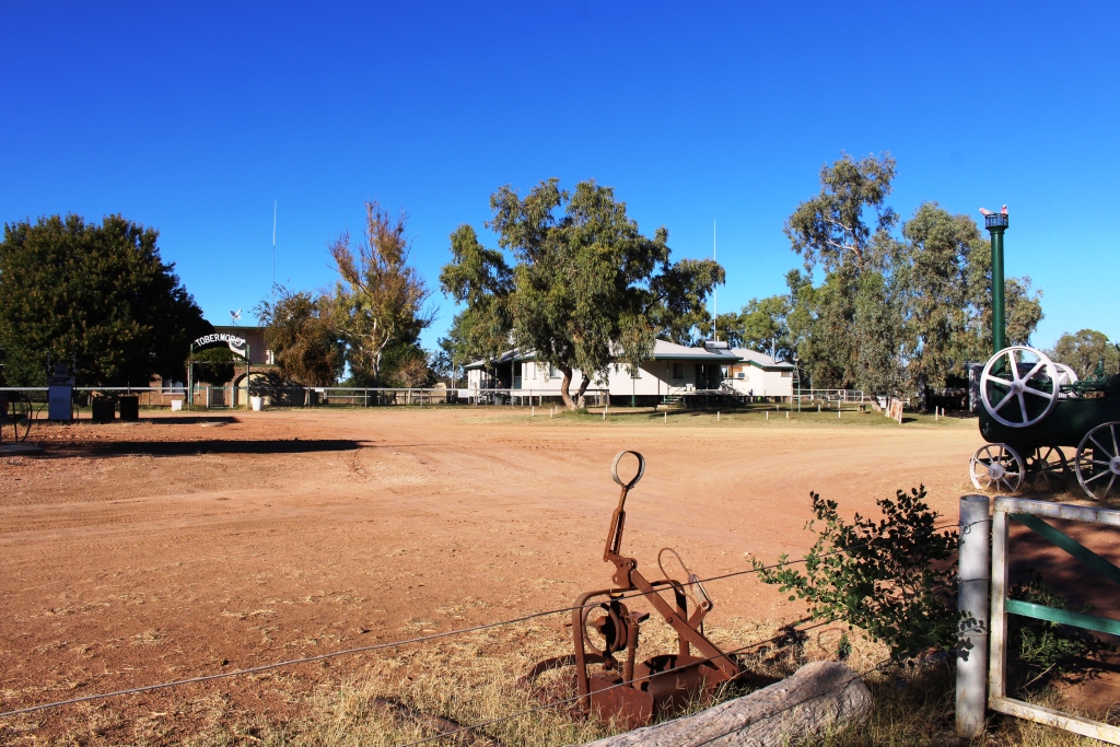
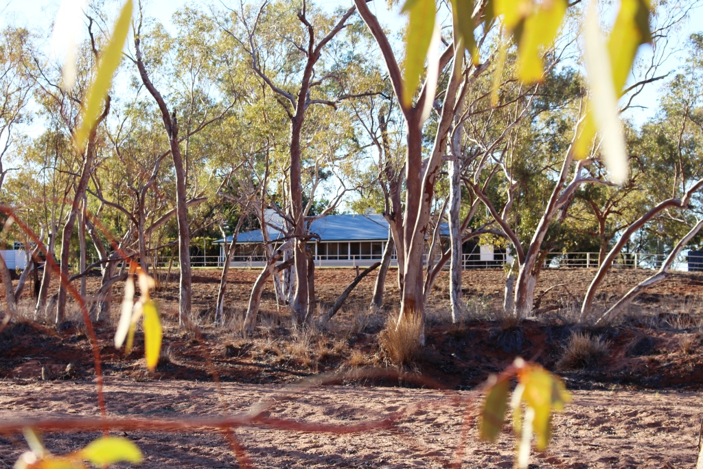
Tobermorey Homestead
In remote Australia you expect help and you give help. So we unloaded our car to make as much room as possible and the young German student and I set off to collect their possessions. That’s how I know that the accident took place 53 km along the road. The car, an aging Toyota Prado, had rolled once and landed on its wheels. Their belongings had remained in the back and two surf boards on the roof rack were undamaged. How does that work?
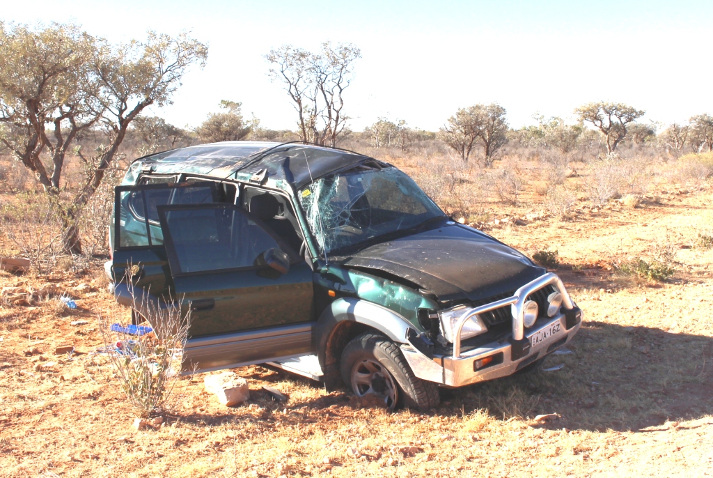
The wrecked Prado
The young man’s English wasn’t perfect so I had not understood about the surf boards. Surf boards heading for the Red Centre? He told me later that they were going to Cairns via Darwin. Surf boards don’t make much sense in Cairns either, but he didn’t know that.
We were scratching our heads about attaching two long surfboards to my roof rack when three 4WD vehicles pulled up. They were camping road side before Tobermorey, but would be happy to drop the surfboards off the next morning. We spent the evening with the couple, Germans studying in Sydney, trying to keep our selves warm on a rather cold night by a camp fire.
If I ever accuse anyone of speaking bull dust I will now do so with greater authority. We encountered much of it on our way to Jervois Station, our destination for the second day of our off road trip. We left Tobermorey at about 9 am after saying our goodbyes to our young friends and almost immediately met the folk delivering the surfboards.
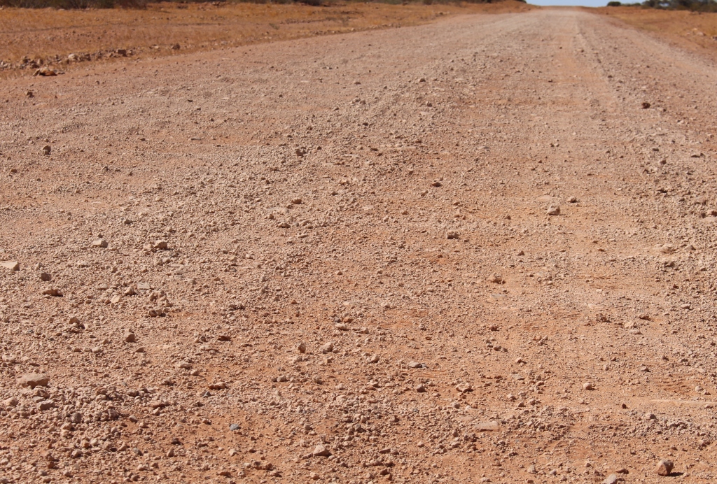
Plenty Highway Corrugations. There were plenty of them.
We stopped at the side of the road for morning tea. A station hand, driving a utility with all manner of equipment on the back, stopped to make sure we were OK. He was on for a chat and knew about the accident, as it happened on the station for which he worked. Roads go through and not around out here.
On a deteriorating road we passed the derelict Prado and soon started to come across bull dust patches. They had hardened with the rain so were not too much of a problem. For substantial distances half the road was corrugated gravel and the other half bull dust with heavy tyre marks embedded in it. Driving through it threw us around a bit but with reduced speed the bull dust gave a better ride than the corrugated gravel.
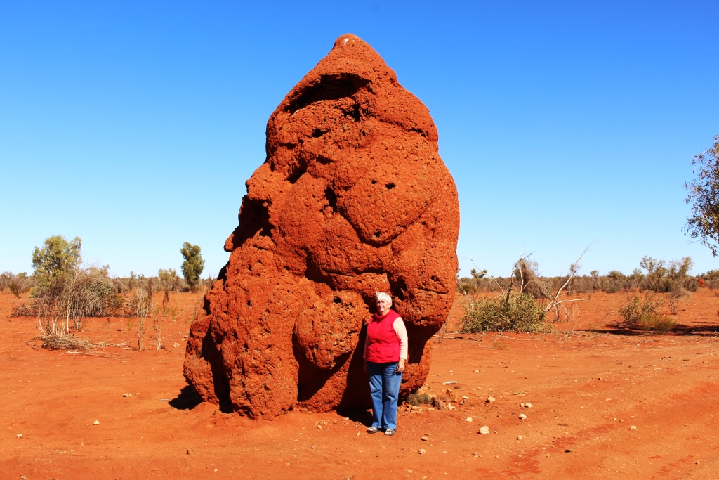
Ruth with ants nest
A little further on, after passing huge roadside ants’ nests, we reached the point where graders were working on a highway upgrade. Two graders, working in tandem were grading long stretches and
Jervois Station on the banks of the Marshall River
producing long sections of super highway. With the improved road we reached Jervois Station earlier than expected and settled in as the sole tenant in the red dirt camping area. Jervois Station takes its name from the
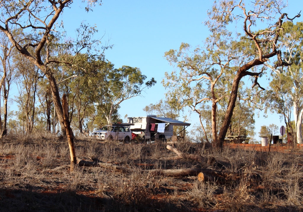
Our van viewed from the bed of the river
Jervois Range to its north. The camping area and homestead are on the banks of a wide, sandy and very dry Marshall River, which flows, when it contains water in sufficient volume, south to the Hay River which in turn flows into the Simpson Desert and disappears. Jervois is best known to Simpson Desertophiles who use it as a refueling point after completing a south to north crossing.
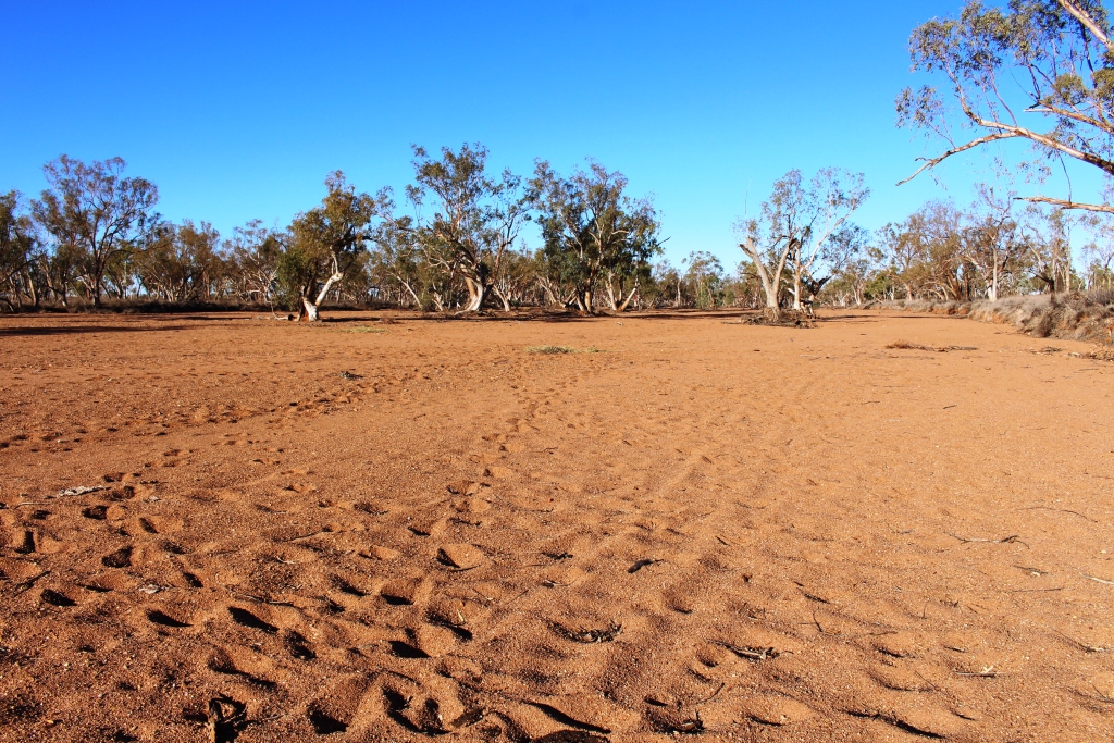
The dry sandy bed of the Marshall River
The final leg of this first long trip over unsealed roads was 220 km to Gemtree in the Harts Range. The name of our destination suggests gem stones, a commodity for which the area is world famous. Gemtree is a caravan park that specialises as a holidays location for gem hunters. But we will not be gem hunting. After five solid days of driving the time had come for a break.
The leg to Gemtree was a relatively easy drive. The early part of the trip was, like late the previous day, freshly graded, but as we progressed onto previously graded road the more previous it got the rougher it got, to the point where I was not unhappy to reach the sealed road just before Gemtree.
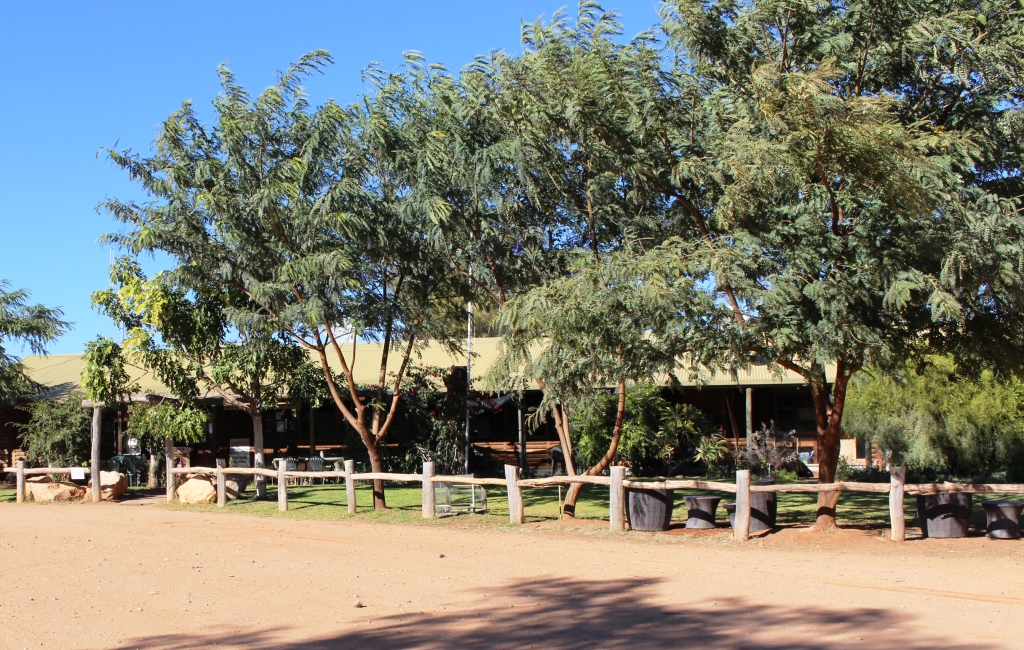
The administration building at Gemtree Caravan Park
So tomorrow we may ask for one of the park’s mud maps and do a bit of a tour of the local area. Or perhaps not! But we probably will go out to find some wood to feed the fire place beside our site so that we can spend the last night of the Donohue /Plenty crossing under the incredible array of stars that are visable when there are few lights to interfere with the view.
We have produced a video that covers this segment of the trip and the segment that precedes it.
https://www.youtube.com/edit?o=U&video_id=czHbkrloHVc