As we listened to the patter of the rain on the roof of our van, we were aware that it was washing away our immediate plans. We have been caught before by the inability of the Department of Meteorology to predict conditions west of Toowoomba. Its predicted 5 mm of rain became 25 mm a couple of years ago and we were left wallowing in the mud of the Dowling Track. History was repeating its self.

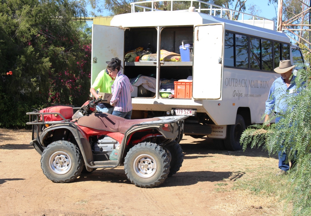
Graeme and his motor home
The next day, on our way to Windorah, we experienced again firsthand what an inch of rain can do in this area. We had made the acquaintance by two way radio of another traveler, this one in a Winnebago motor home and had agreed to stop for lunch at the same place so that we could have a face to face chat. I chose the site of yesterday’s afternoon tea stop, but when I turned in to the proposed stopping place our wheels started to sink in the mud that had, two days earlier, been a firm parking area. New acquaintance saw what was happening and pulled off to the other side of the road and sank to his axles in even worse mud. A quick selection of 4WD had saved us. He didn’t have that option.
But we were lucky. A couple headed for the Simpson Desert, equipped with a winch, came along, so with them winching and me in the Suzuki that he was towing, giving a push, we got the motor home back into the black top. We moved a bit further along to firm ground and discovered that Graeme is travelling alone while his wife is in England. He asked if he could tag along and he stayed behind us until our paths diverged at lunch time the following day.
From the information center at Windorah and from talking to passing motorists on the two way radio, we learned that the Birdsville Developmental Road was a mess and would not be suitable for us to drive on for several days, so we turned north, spending the night in the caravan park at the Jundah Hotel, and then on to Winton. Graeme left us at Longreach.
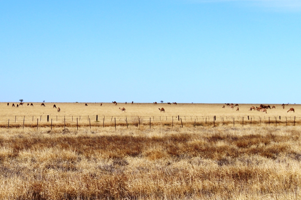
Farmed camels near Winton
The drive from Winton to Boulia is along the first part of the Min Min Byway. Boulia has built a tourist industry on the phenomenon of the Min Min Lights, unexplained lights that some people claim to have seen at night as they have travelled the road. But since most people travel the road by day, reported sightings are rare.
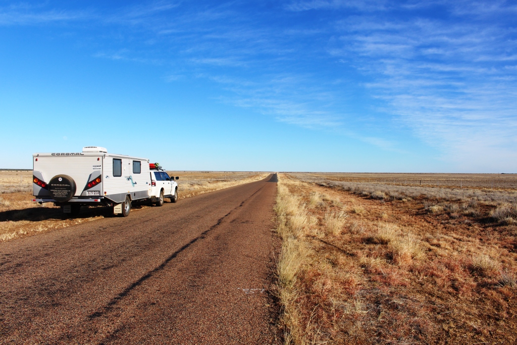
Our rig beside the long road just west of Winton
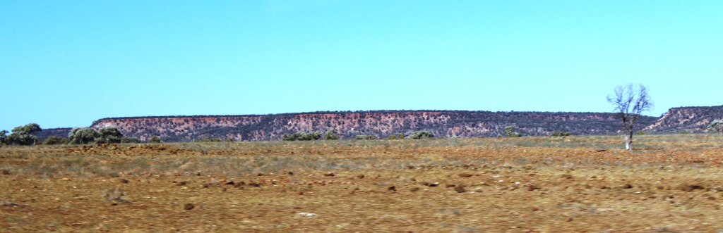
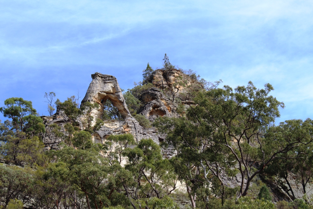
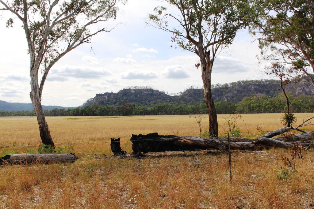
To travel this road at night would be a grave mistake as it is one of the prettiest outback drives in Australia. The first part is fairly ordinary with open grass country on the higher ground and scrubby trees in the gullies, but after crossing the extensive flood plains of the Diamantina River, the road plunges into a series of mountain ranges of the “jump up” or mesa variety.
One of the many channels of the Diamintina
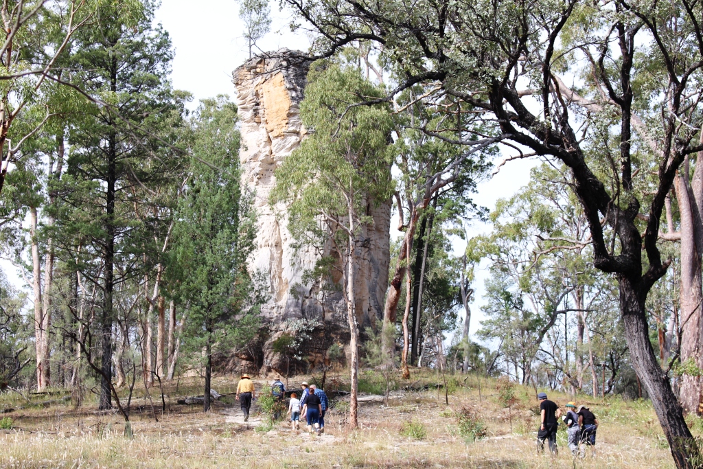
These are the hills that are capped with mini precipices of red sandstone from which the slopes covered with rough green grass or stunted vegetation, descend to tree clad lower slopes and gullies. The
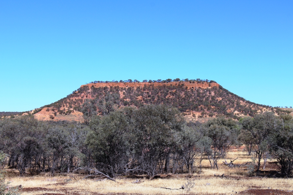
A typical jump up or mesa
sandstone caps weather into some interesting shapes such as the one that stands above the Castle Hill Rest Area. At the western end of the series of ranges a picnic shelter has been built on hill top that provides panoramic views along the valley through which the road passes.

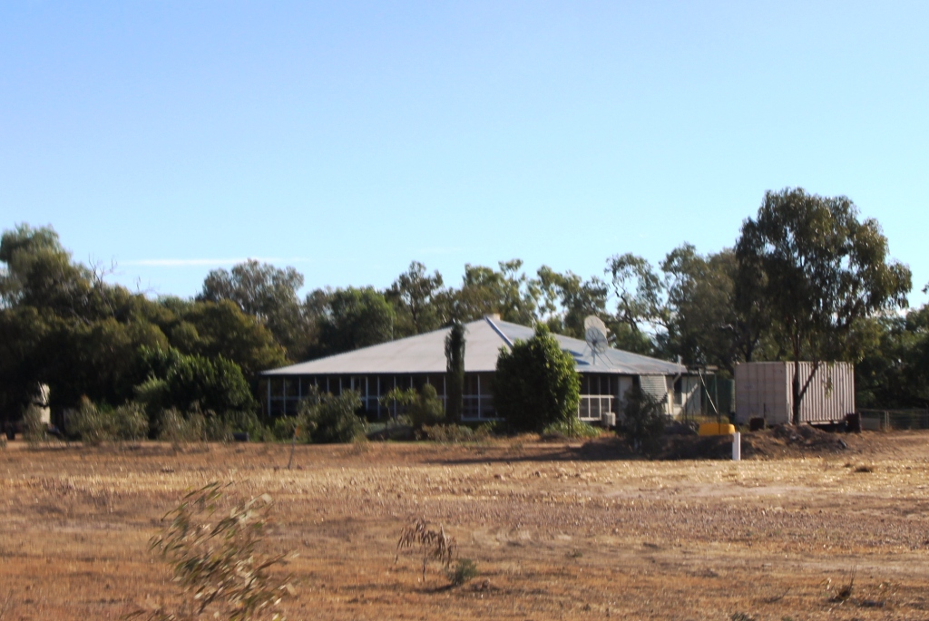
The isolated Middleton Hotel
There are other things of interest along the way. About half way stands the Middleton Hotel, not so named because it is half way but after an explorer who passed the spot many years before this rather elderly building was built. It is a favorite lunch stop. Perhaps that explains the Min Min Lights.

Brolgas by the road
Not far out of Boulia we stopped at a rest stop that marks the site of the long demolished Hamilton Hotel. There we received a tip to look out for brolgas at a creek beside the road. There were dozens of them in clear view. As I walked towards them for a picture they moved away, many of them performing the sort of flying dance for which they are noted.
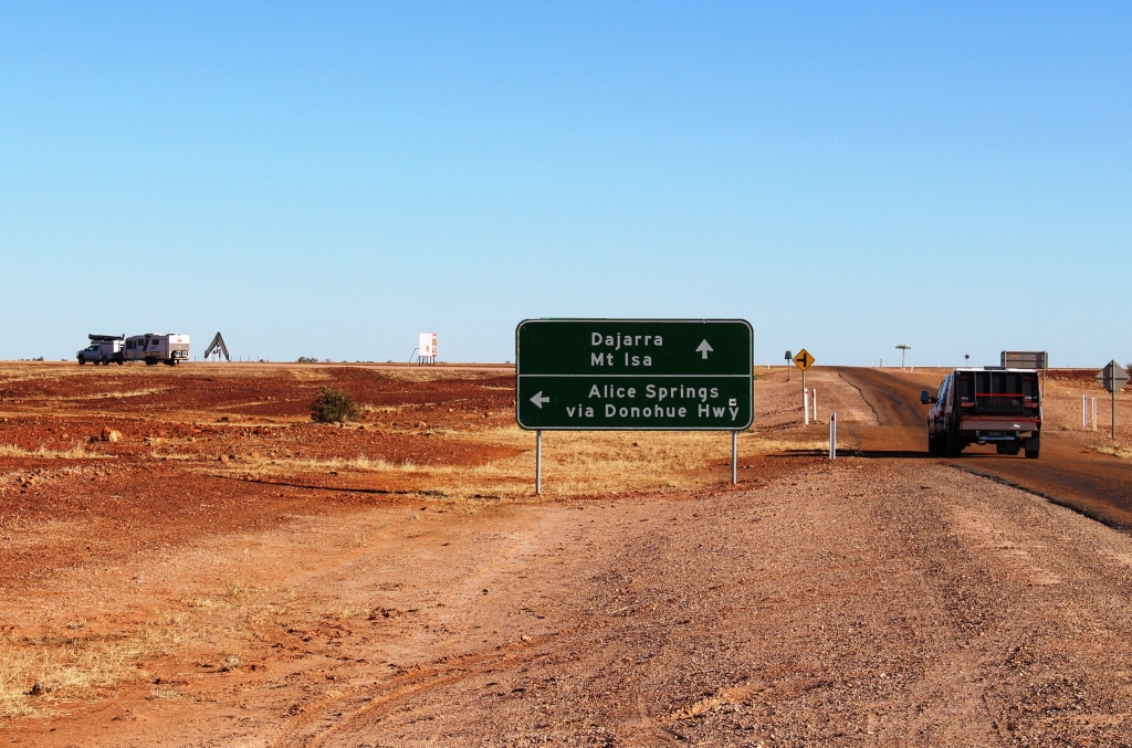
The start of the Donohue Highway
After a night in Boulia we took on the Donohue Highway that runs west to the Northern Territory border and there becomes the Plenty Highway. These highways are our first long run on dirt roads.
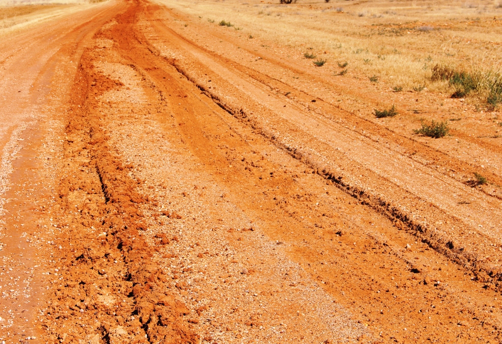
Wheel tracks from recent rain
Combined they extend a about 750 km across the southern end of the Barkley Tableland. We knew that the road had been affected by the rain and were warned to watch for wheel tracks. The road was quite badly damaged on the west bound side but surprisingly good on the east bound side. So we pretended to be driving in the USA, returning to the correct side for approaching traffic, when we reached crests or when the consensus tracks changed sides.
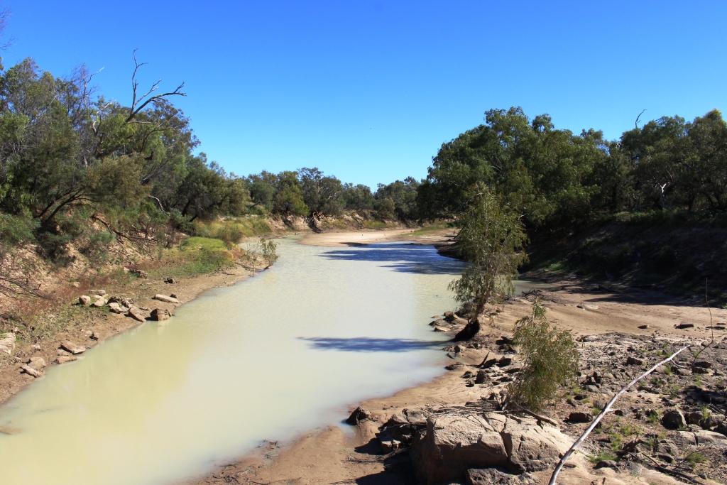
A waterhole in the Georgia River
The main feature of this drive through far western Queensland is crossing the Georgia River. When the wet season, often augmented by a cyclone, dumps large quantities of rain south of the Gulf of Carpentaria a large proportion of the water flows down both the Georgia and Diamantina Rivers. In a wet year the flood waters reach, not directly but by various means, the vast expanse of salt pans that is Lake Eyre. The flood plains associated with these rivers are vast. It is probably not possible to visualise the sight of them in full flood without actually having seen them.
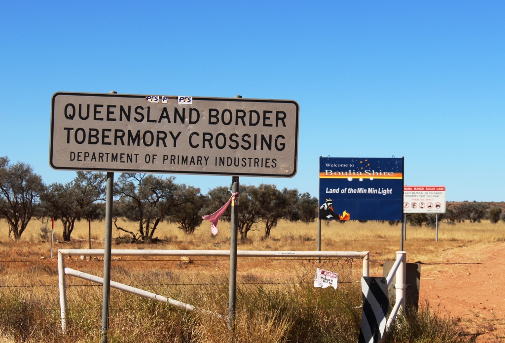
The Qld/NT border
Our destination for the day was Tobermorey Station. It is located 250 km west of Boulia and just 4 km past the Queensland /NT border. We parked the van on grass in a camping area that we almost had to ourselves. We wound our watches back by 30 minutes and I prepared myself for a restful couple of hours, but I was wrong!
Here is the video. It covers this post and the next one too.
https://www.youtube.com/edit?o=U&video_id=czHbkrloHVc