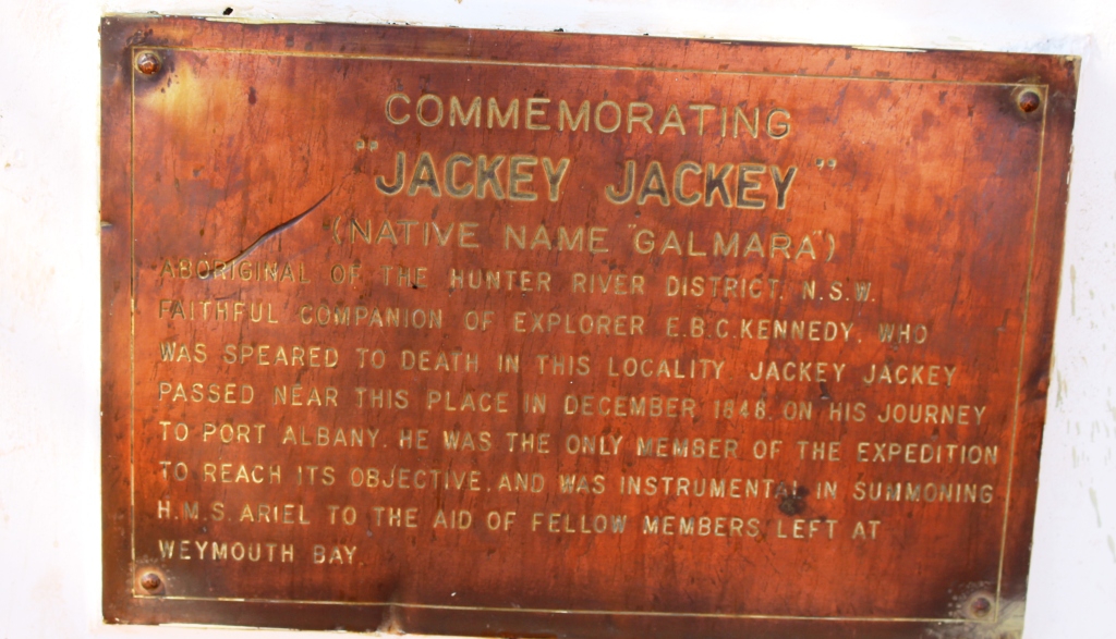
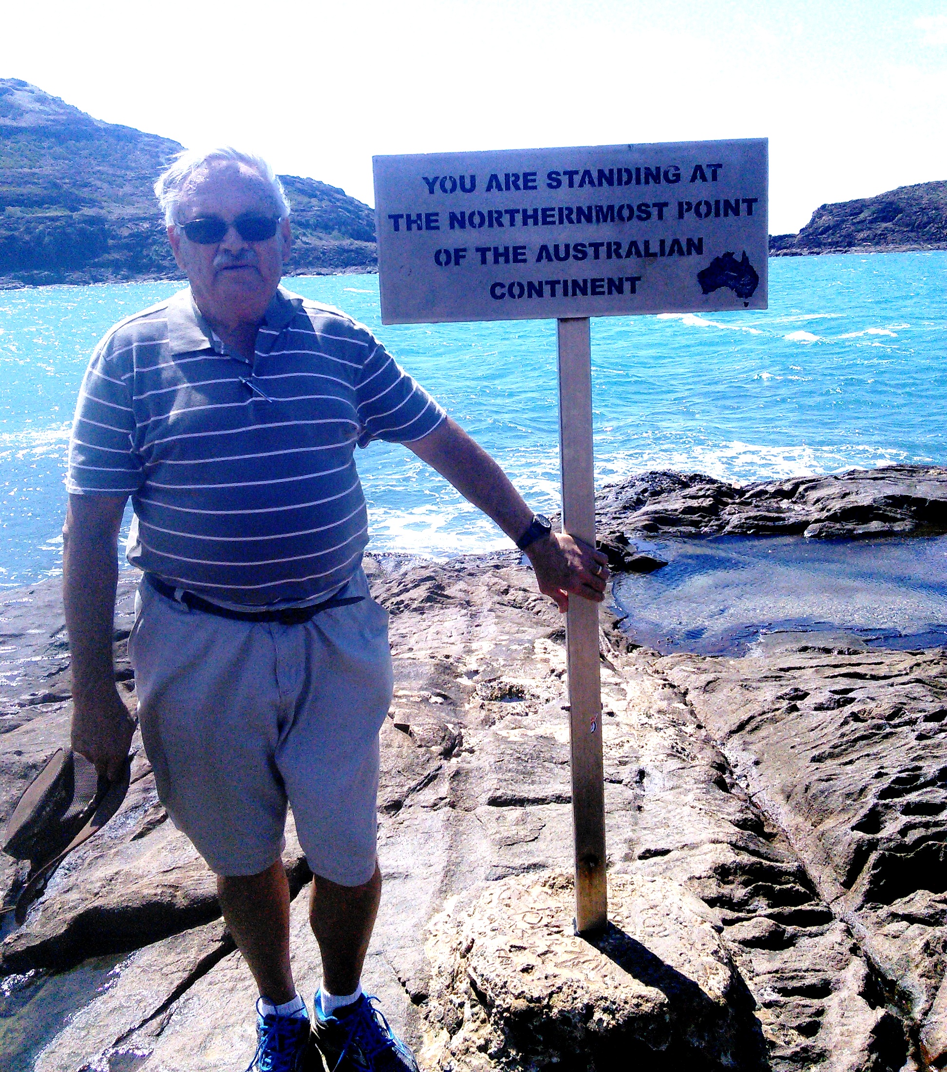
We had originally intended to spend a couple of days at Cape Tribulation on our return from Cape York, but returning south on MV Trinity Bay meant that we had landed further south so had to decide whether or not to take the van back north. We finally decided to reduce that part of the plan to a day trip, even though to do so meant that we would not have time to drive the Bloomfield Track as we had planned. When we visited Cooktown in 2010 we had driven the northern end of the track, south to the Bloomfield River. During the planned stay at Cape Tribulation we had intended to fill the gap on our “where we have been” map, between Cape Tribulation and the Bloomfield River. But you can’t do everything.
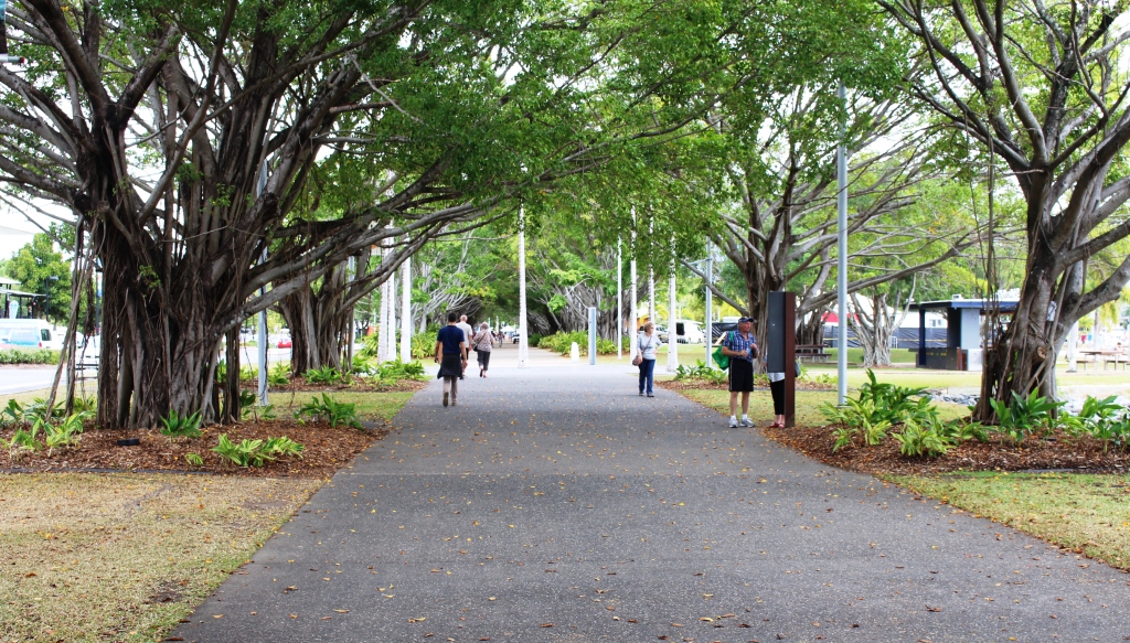
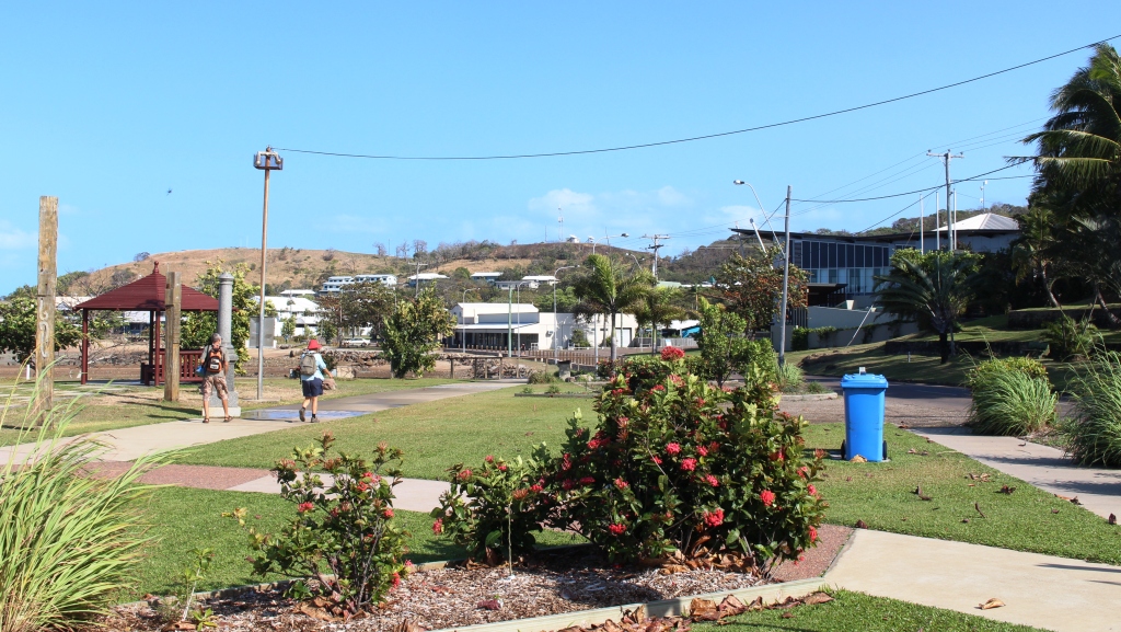
In the park by the waterfront
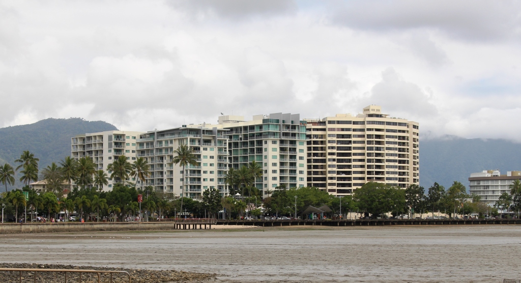
Water front high rise at Cairns
We had based ourselves at Lake Placid Tourist Park, which is the northern most caravan park in suburban Cairns. But to visit the Cairns area without paying a visit to the city itself was unthinkable, so we spent our second morning pounding the pavement and wandering the waterfront. There is always something going on in this ever expanding tourist Mecca. Tourist boats were coming and going, helicopters were fetching and taking passengers and people were moving around as they went about their business or leisure. There was a set for some kind of circus under construction on the grass near the large swimming pool.
Of course, most tourists were out doing tourist things. Cairns central would come alive at night as the restaurants and bars began to fill. The street that runs adjacent to the waterfront seems to be an endless succession of such establishments, punctuated by tour booking offices.
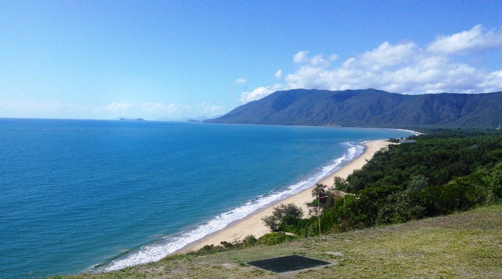
The coast south of Port Douglas
I have probably said in previous blog posts that the coast between Cairns and Port Douglas is one of the most attractive drives in Australia, particularly the section where the road hugs the coast. We had struck a fine sunny day, so the sea and most of the sky was blue and the traffic was not too heavy. A cruise liner was off the coast as we approached Port Douglas, but we drove on, with still some distance to go to reach our destination.
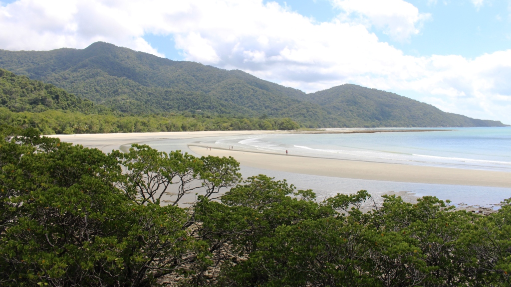
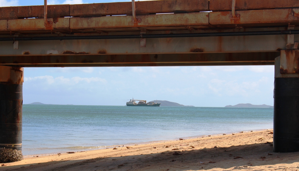
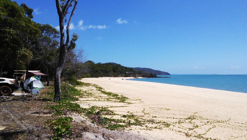
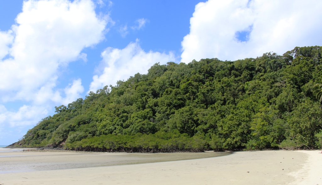
Cape Tribulation Beach
The picnic shelter where we had morning coffee at Mossman was shared with another couple just returned from Cape York. Returning Cape travelers are rather thick on the ground at this time of the year around Cairns.
We reached Cape Tribulation in good time and spent the remainder of the morning looking around. This included a walk to the beach, which
Rain forest on Cape Tribulation
can now be viewed from a vantage point accessible by a wheel chair friendly concrete path. As usual, the sand on the beach was firm, almost wheel chair friendly.
Following lunch at Mason’s Café, we headed back south, but as on a previous occasion, stopped in at the place where they make ice-cream from local native and
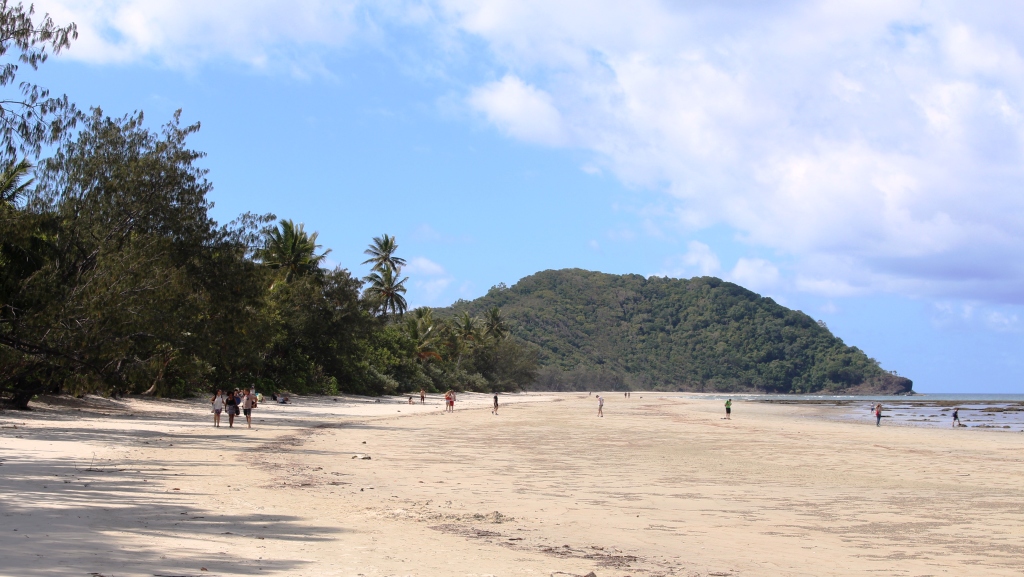
Myall Beach is immediately south of Cape Tribulation
introduced fruit. How fashionable is that? The main luncheon course at one establishment and desert at another?

Mason’s Cafe at Cape Tribulation
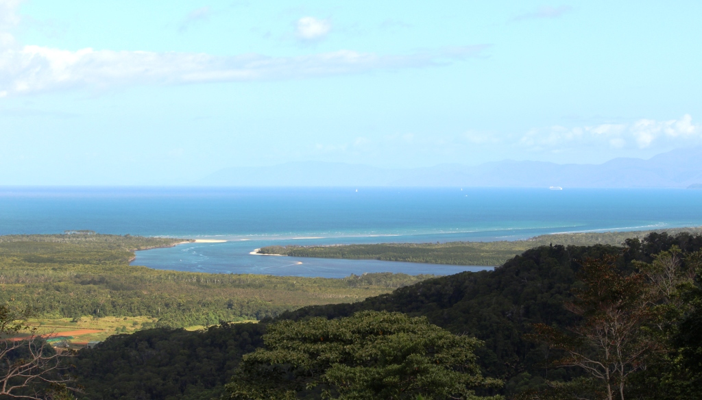
The Daintree Estuary
Before reaching the Daintree River ferry, we made the mandatory stop at the lookout that provides such superb views of the Daintree estuary and the coast south towards Port Douglas. Last time that we were here the area was enveloped in cloud so low that there was no view at all.
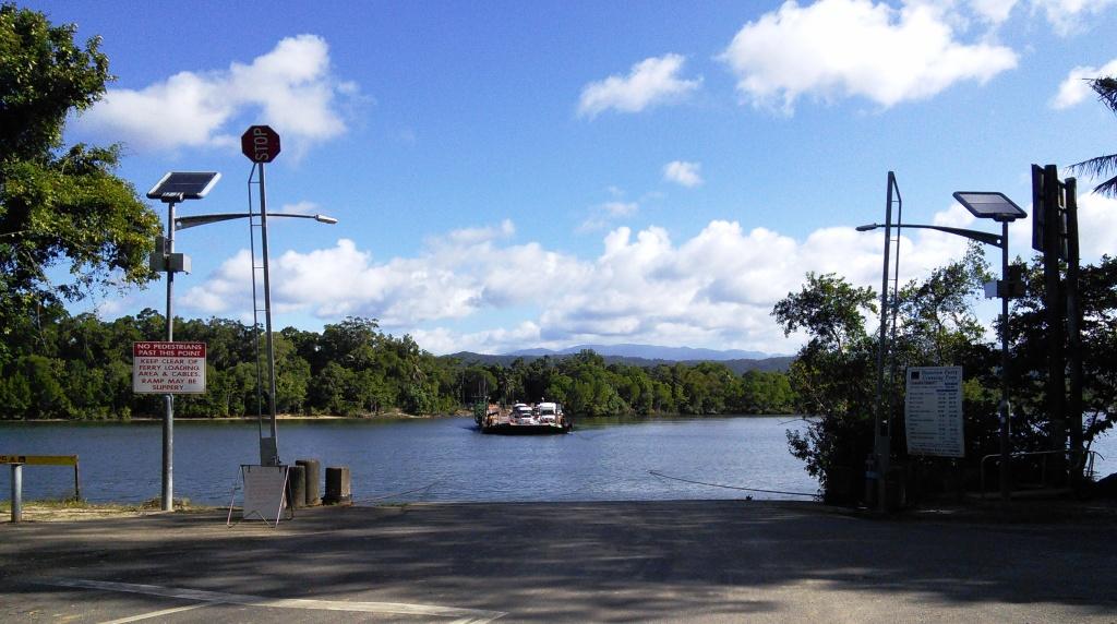
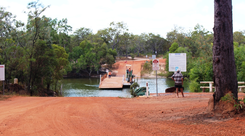
The Daintree Ferry
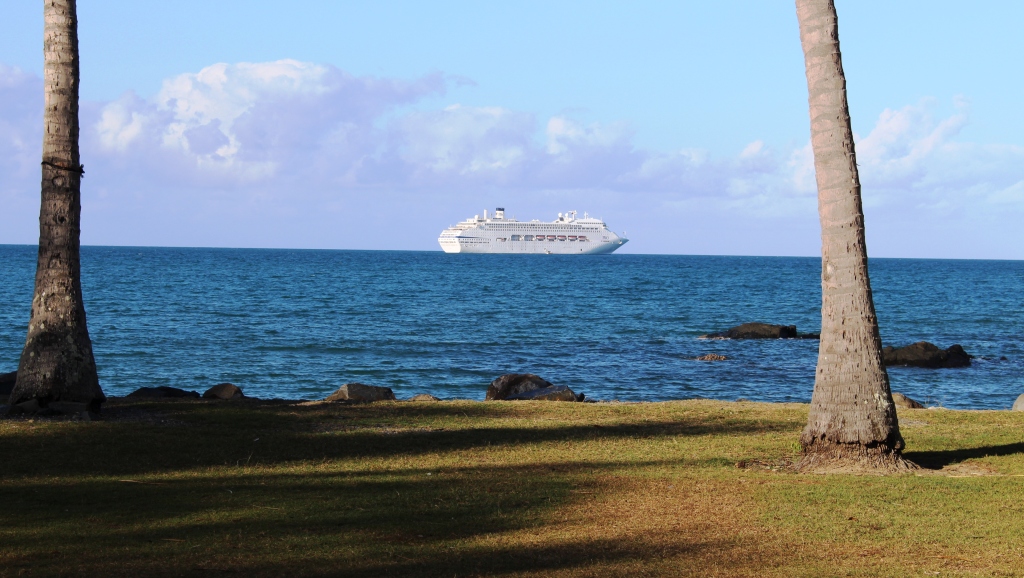
The Pacific Dawn at anchor off Port Douglas
As we approached Port Douglas, we noticed that the cruise liner that we had seen in the morning off the coast was actually at anchor. Passengers were obviously having a day ashore. So we drove in to take a look. The town was busy as usual with lots of people still on the beach at 4.00 pm. The harbor was busy too, with boats that normally take people out to the Great Barrier Reef running shuttle services transporting passengers back to

Ferrying passengers back to Pacific Dawn
the cruise liner from their day ashore. We believe that the cruise liner was the Pacific Dawn.
The following morning we left to spend a couple of nights at Kurrimine Beach. We had selected it as a base to explore the Tully Gorge. Not long after our arrival we received news of the passing of a colleague from transport industry days. Our association was at both a business and family level, so our spirits were rather dampened. We received information about funeral arrangements next morning, so were able to plan to be back in Brisbane for the funeral service.

Power substation in Tully Gorge
Timing still allowed us a day to visit Tully Gorge. This part of our plan was a legacy of our trip to the Atherton Tablelands in 2010. On that occasion we had driven in to the point where the Tully River tumbles over the edge of the Tableland and down a series of waterfalls, to the valley floor below. The initial fall is in a deep gorge and cannot be seen from the lookout, but after heavy rain it can certainly be heard. We decided then that we would like, one day, to see it from the bottom.
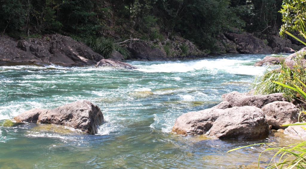
Tully River white water
Tully Gorge is known throughout the tourist industry as a popular white water rafting location. As we drove in we saw vehicles associated with rafting but did not see any rafting groups. Water levels are low in the river at the moment, making it more suitable for kayaks than for inflatable rafts.
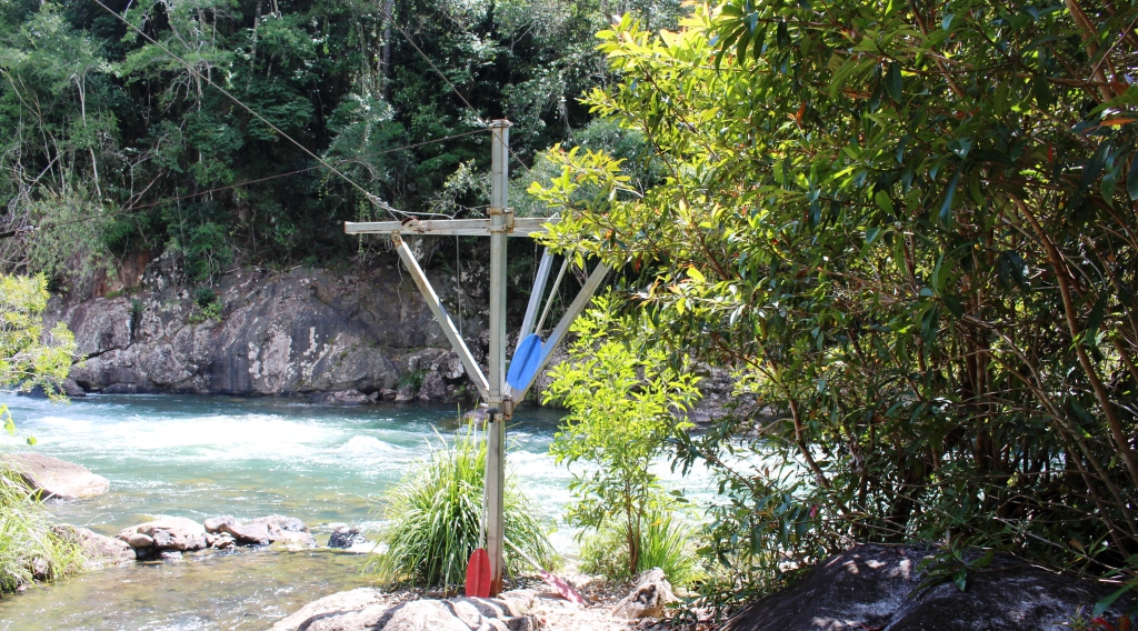
The river end of a raft lalunching system
The drive in is about 50 km to the point where the road terminates at an electrical substation that we think takes power from a hydro plant at the dam on the river above the falls. This effective barrier prevents you from reaching the falls, but you can see the white water cascading down the side of the gorge further up but too far away for a good photo.
The first part of the drive is through cattle country with abundant grass reaching well up the sides of the grazing animals. Cattle properties are interspersed with the odd sugar plantation. Then comes the banana plantations. Reaching back into the foothills on both sides of the valley, they line about 15 km of roadside. Plantations are enclosed in new barbed wire fencing with locked gates and “Keep Out” signs. Employee vehicles are parked on the roadsides. Owners are serious about keeping the disease that is damaging banana crops in North Queensland, out of their plantations.
Tully Gorge National Park camping area
At the mouth of the gorge the road crosses to the south bank of the river and follows the stream quite closely, to the end of the road. Thick roadside vegetation hides the river for much of the drive but there are a number of vantage points and access roads used by the tour operators to reach the river. At a number of locations flying fox type structures make transporting the rafts to the water’s edge easier than it would otherwise be possible.
The retrieval pond at the NP camping area
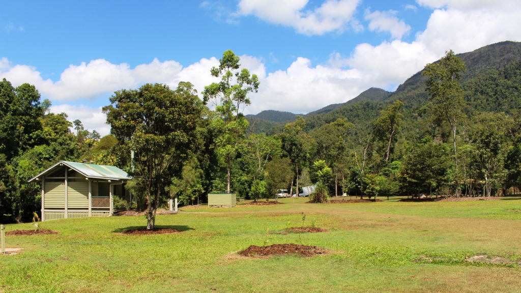
The Tully Gorge lies within the Tully Gorge National Park. Park authorities have provided an extensive day use and camping area with toilets, showers and change facilities that doubles as a local base for tour operators and provides facilities for overnight or more extended accommodation.
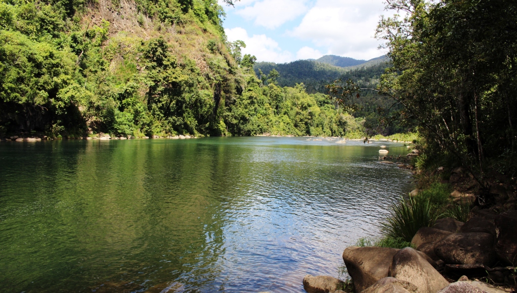
The road is sealed over its entire length. The gorge is deep with towering escarpments, covered by lush rain forest that rises directly from the river banks.
Tully Gorge is a worthwhile drive for anyone wanting a break from the beach and humiditywhile holidaying in the Tully and Mission Beach area.