Day 1 – Thursday 2nd June
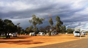
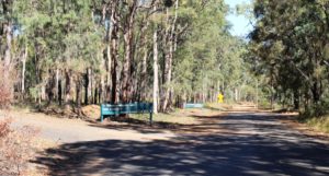
Free campers set up for the night at Gympie
Once again we were on the Bruce Highway, travelling north. We followed the Bruce to just past Gympie, turned left into the Wide Bay Highway for 20 kilometers, turned right to pass through Woolooga and ultimately to Biggenden, where we finally turned south west to our overnight stop at Ban Ban Springs.
The distance is 301 km. The map showed the road via Woolooga as being sealed all the way but there is an unsealed strip of about 20 km that winds its way over a range. We had been encountering showers all morning. A particularly heavy deluge arrived just as we hit the gravel. The wheel ruts almost immediately became rivulets that obscured the actual road surface. I thought we were going to arrive at our stopover with a dirty van but the rain continued for long enough after we came back on the tar to give us a quite effective wash.

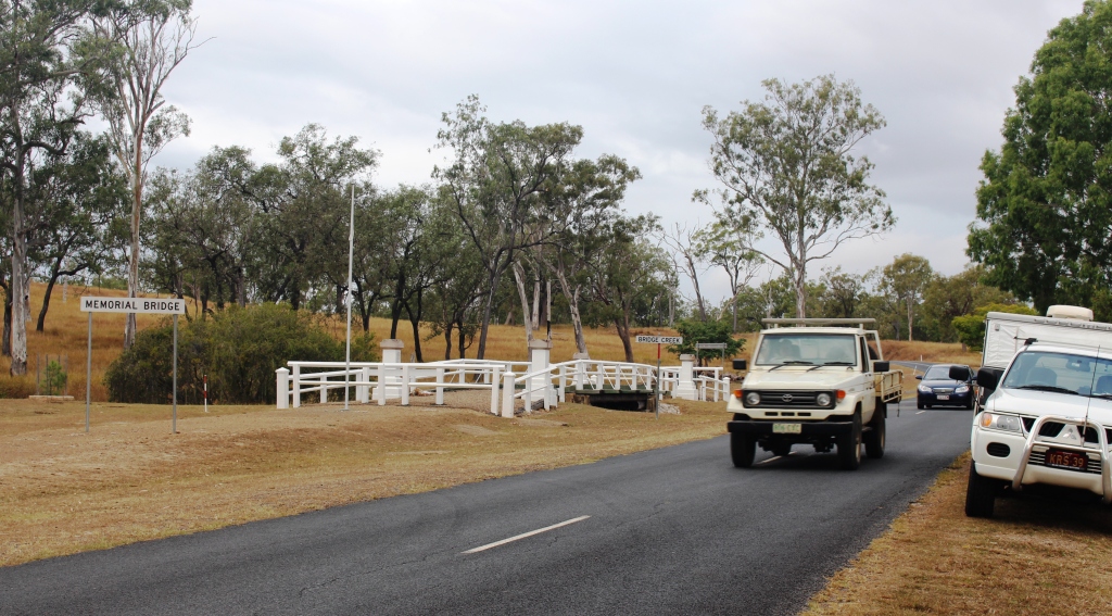
To preserve the memorial bridge it has been bypassed by the road
Further on, but before Biggenden, we came across (not literally) a memorial bridge, which used to be in service, but has now been preserved by the side of the realigned road. It spans Bridge Creek right beside it’s replacement. Signage claims it to be the only privately funded memorial bridge in Australia.
One of the pillar style end posts that commemorate local fallen from WWI
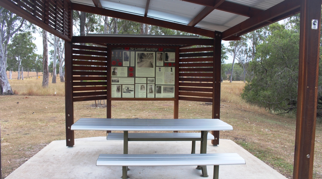
Adjacent to the bridge, but a bit further from the road, a picnic shelter has been erected. Its one wall (three sides are open) contains material about soldiers who did not return, including a letter from a soldiers fiance seeking information about his death. At both ends of each bridge rail stand small but monumental posts of stone. One of those at the northern end lists the local fallen from the First World War while the other lists those who served and returned.
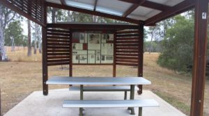
Memorabilia from WWI relating to locals who served

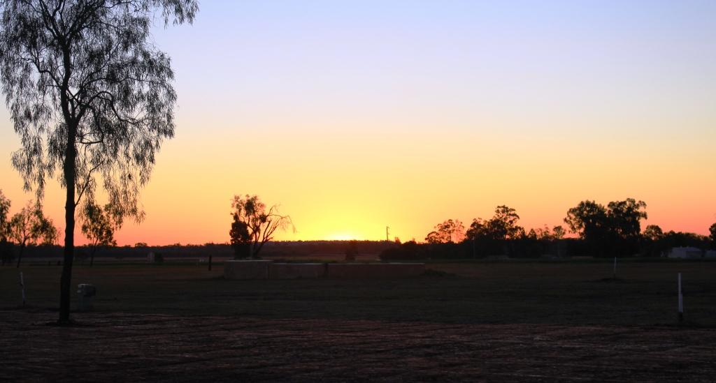
Light and shade on the hills as we approach Ban Ban Springs
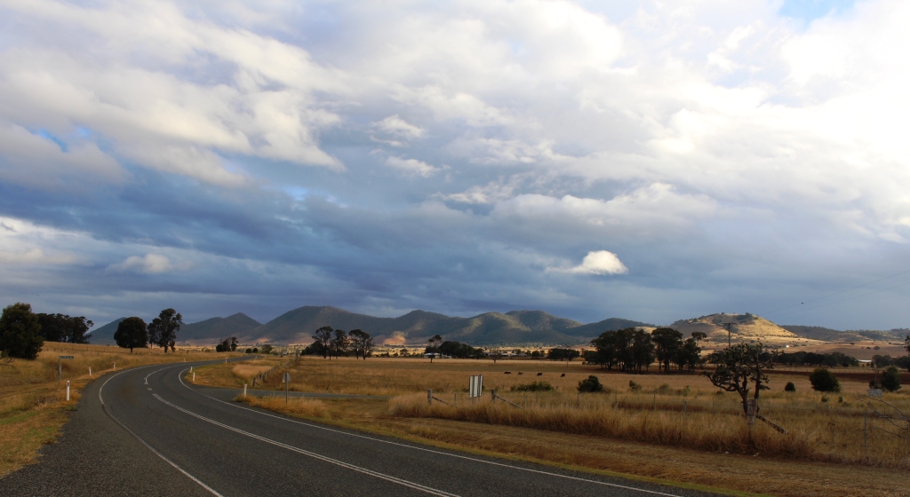
Rain was still falling as we reached Biggenden but cleared as we drove the 36 km to Ban Ban Springs. The sun broke through as we crested a hill to illuminate an agricultural valley. Clumps of trees stood out like stage props under a spot light, while cloud shadows patterned the hills that stretched across the scene like a backdrop.
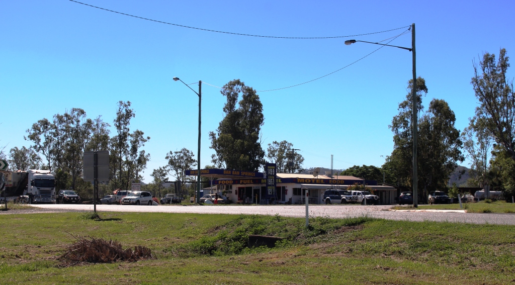
Ban Ban Springs is a roadhouse and motel at the junction of the Isis and Burnett Highways. The rest area, where caravans stop over night, is right across the road. Since arriving her I have remembered that this route is a favorite truckies short cut for heavy vehicles travelling between North Queensland and Melbourne and Adelaide. I’ll let you know how much sleep we get.
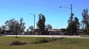
Ban Ban Springs Roadhouse
Day 2 – Friday 3rd June
The trucks did not interrupt out sleep. Traffic reduced after around 8.00 pm and we only heard the odd vehicle go by. In no time at all the sun was peeping through the overcast of cloud, something that it continued to do during the day. We encountered little of the forecast rain.
 We stopped at Mundubbera for morning coffee and at Monto for lunch, on both occasions using the excellent roadside facilities provided in this area. Both include driver reviver facilities for holiday periods.
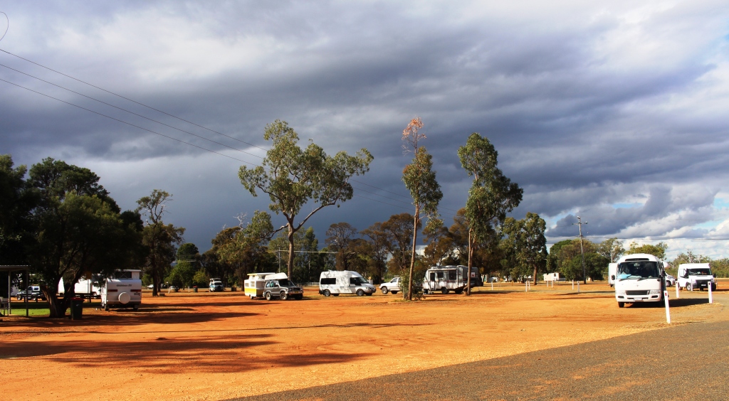
Traffic was relatively lite with not as many caravans as we expected. Caravans on the road were mainly travelling south with few moving in our direction. Caravan parks don’t seem to be busy either. Perhaps the Burnett Highway is not a popular tourist route.
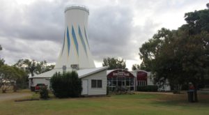
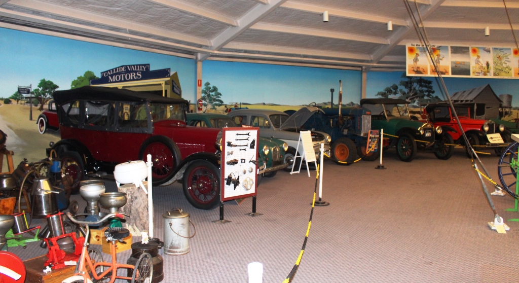
The main feature of Heritage Park is the ex Expo 88 Primary Industries silo
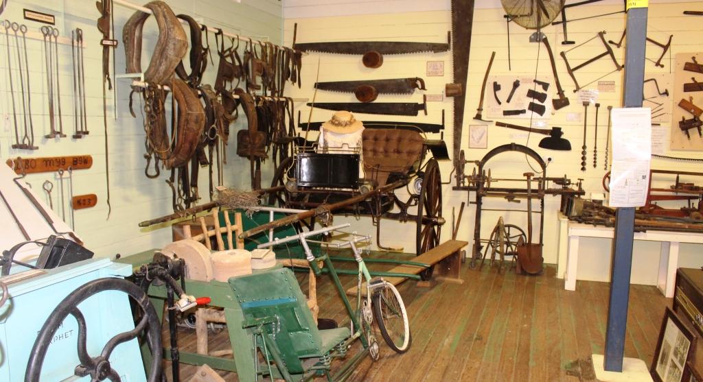
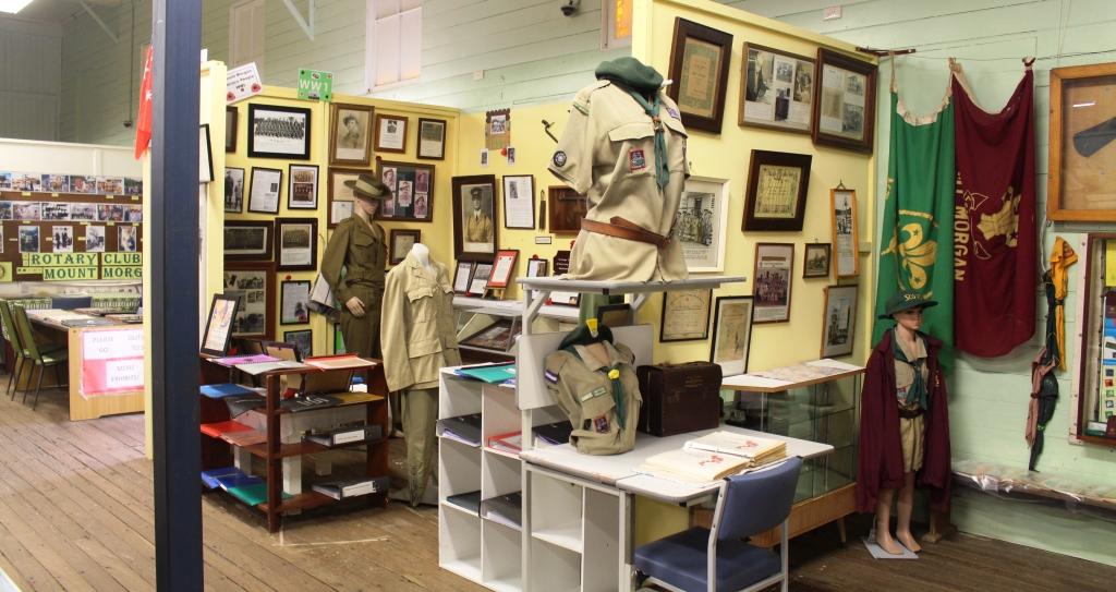
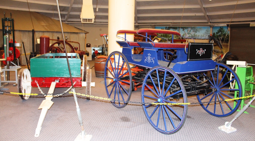
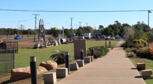
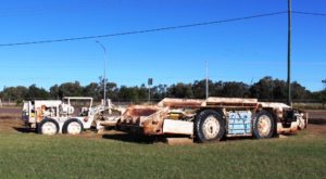
So it is not surprising that we are in a very lightly populated park tonight. We are in the 48 hour rest area that is part of the Queensland Heritage Park in Biloela. The park is managed by a club of historic machinery enthusiasts. They have a huge display of old agricultural machinery, small and large, and displays of the kind of household memorabilia with which I shared my early years. But much of the collection is older than I am. The central building of the complex that houses much of the display is the Primary Industries pavilion from Brisbane Expo 88. I had a close association with that particular building during Expo.
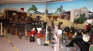
Part of the Heritage Park display – including a variety of cream separators

Motor vehicles have been lovingly restored to their former glory
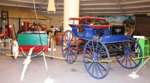
Transport from an era long passed

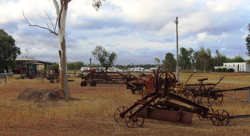
Old farm machinery with visiting caravans in the background
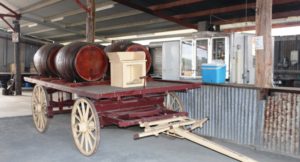
Wagon and wine barrels standing beside the bar in the function shed
Thunder storms are forecast for tonight but as yet only a few rain drops and no thunder. Perhaps we will sleep through the noise even if it does occur.
Day 3 – Saturday 4th June
The storm arrived at midnight and woke us with torrents of rain drumming on the roof of the van. Our first thought was for the lady travelling alone in a vehicle with a roof top tent parked next to us. My next thought was, “Did I close the window of the car after I wound it down to insert the card that opened the gate to the camping area?”. That question had to be answered so up I got, put on wet weather gear and ran around the front of the car to check. Yes, securely closed! So I dashed back into the van with wet PJ pants and black mud all over my feet. After a thorough foot wash and a change of PJs we had a cup of tea and went back to bed
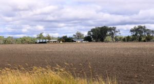
Recently plowed land with house and sheds north of Biloela
The rain had gone by the morning but the mud had not. Despite a covering of recently mowed grass the mud found its way through on to boots and shoes. Black mud and mower clippings make a challenging mess when clinging to the soles of said boots and shoes.
Today’s journey has taken us north to the Capricorn Highway via the small town of Dululu, where we made the mandatory stop at the loo. The overcast sky again gave way to sunshine but an unexpected storm came back from the opposite direction to that of the storm last night. It only lasted for 15 minutes or so.
Vans in the Duaringa camping area
We had intended to reach Dingo but the camping area at Duaringa looked inviting and with plenty of space, so we decided to stay. That decision was confirmed when we found the lady with the roof top tent from the previous evening. She joined us for a cup of tea and we found out a bit about her.
Her name is Annie. She is a single middle aged lady who loves to travel and particularly in Australia, as this is her third consecutive Australian winter. She has a Nissan Patrol with all necessary gear, which she leaves here in preparation for the next visit. She has covered a great deal of Australia, particularly the outback. She left the following morning, headed for a Simpson Desert crossing.

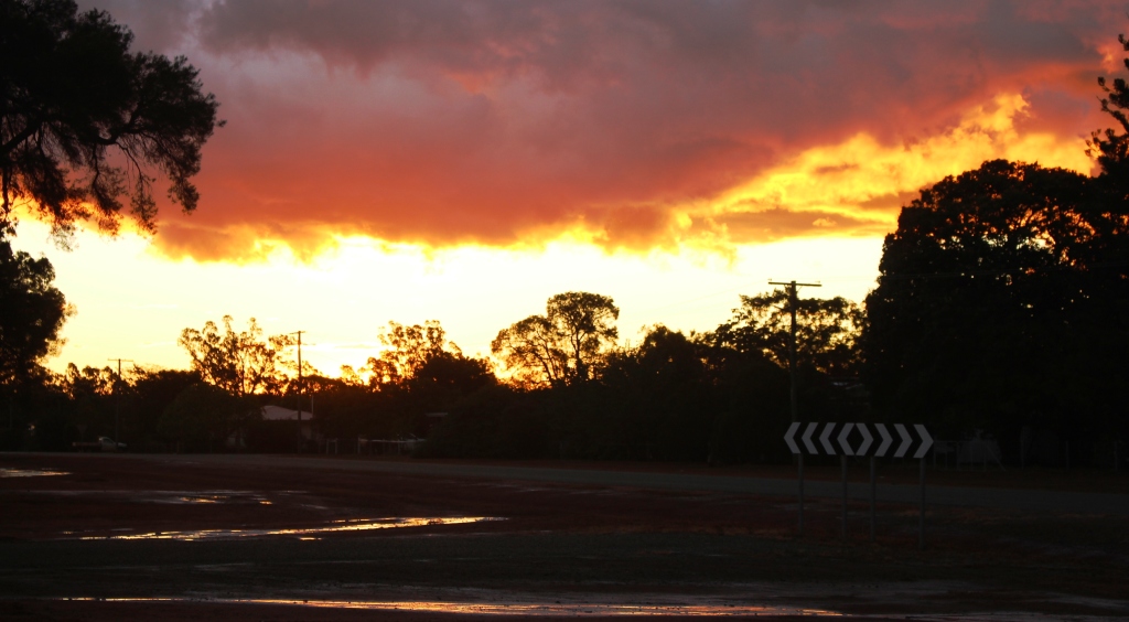
The setting sun lights up the edge of the departing storm clouds
After the storm the setting sun broke through to produce a stunning sunset that lit up the clouds through the entire 360 degrees of the horizon.
Day 4 – Sunday 5th June
The sun rose into a clear sky again. We didn’t see a cloud all day and at the end of the day, at Dingo, the sun set, producing a brilliant strip of orange light across a flat horizon.
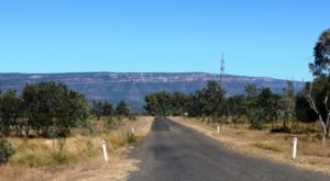
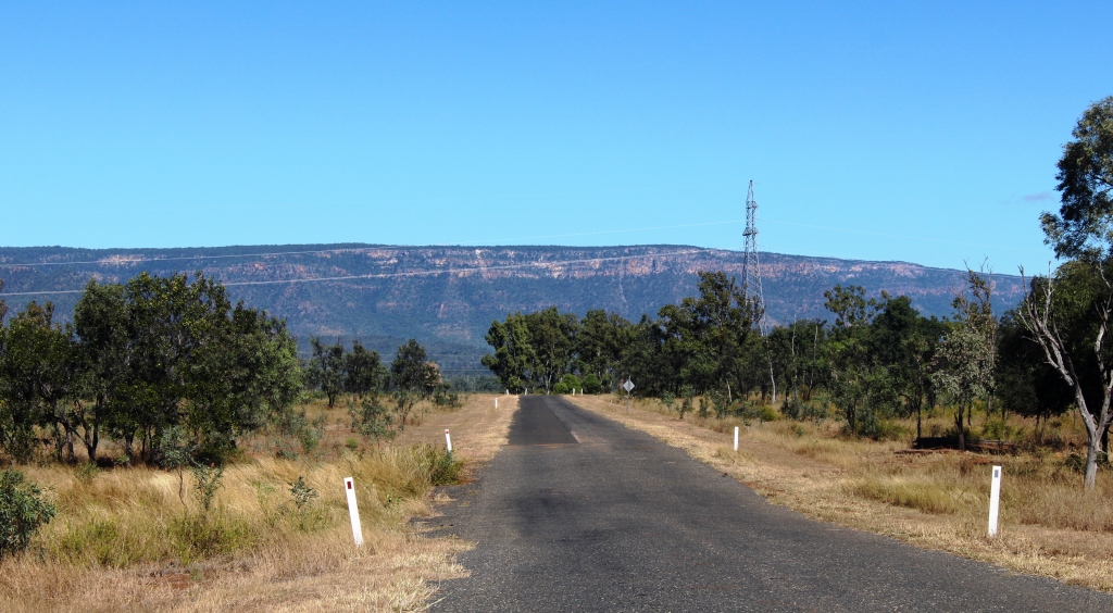
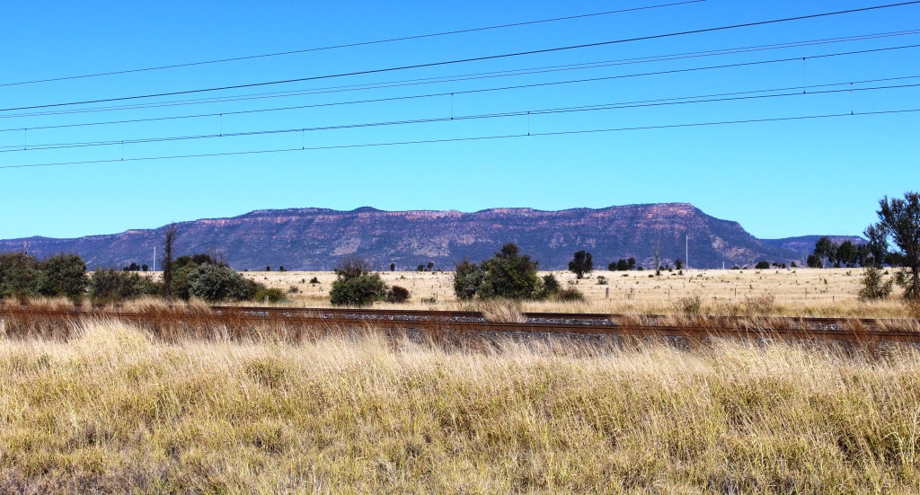
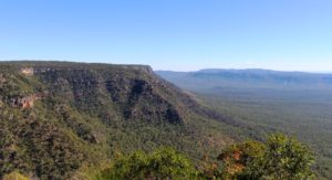
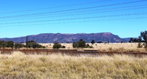
The view approaching Blackdown Tableland
We came on the final 36 km to Dingo, refueled and parked the van in a large parking area behind the Dingo Roadhouse. We set up, put our security arrangements in place, packed a picnic lunch and headed west on the highway for the 12 km to the turn to Blackdown Tableland National Park. The next 12 km to the foot of the mountain runs through unfenced cattle country with plenty of grazing stock that seem to prefer the roadside grass to that further away from traffic. They were healthy looking beef cattle of various breeds.
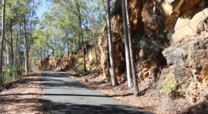
The road runs at the base of the cliff as the summit is neared
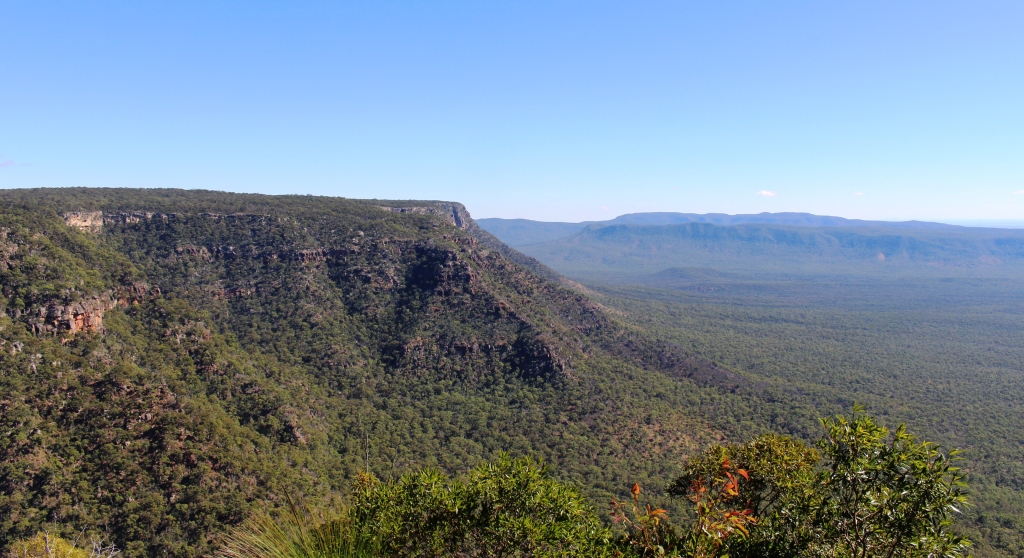
The road to the summit of Blackdown Tableland is sealed, but steep and winding. From the time that we left the highway we could see the long Cliffs of coloured sandstone that gives this mountain its special appearance. The climb was through dense forest for much of the way but near the summit the road runs directly below the cliffs.
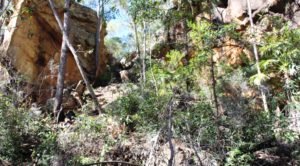
A gap in the cliff face beside the road
The end of the sealed road at the start of the park road
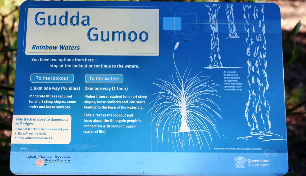
The sealed road ends at the information shelter but the dirt road was in good condition and adequate for the 60 kph speed limit within the park. We drove to the southern car park, which is as far as you can drive. Walks start there for what seems to be a significant waterfall but the distance and terrain was a bit much for the time we had available.
The view from the lookout that we reached
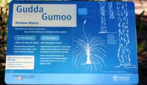
The sign for the walks that we did not do
We were thwarted in reaching a lookout by a chain locked across the access road, but did make it to the lookout that provides a view to the north and northeast. It was only a 100 meter paved walk but the view was fairly spectacular.
There is a camping area about 5 km past the information shelter where a few campers were in residence. The lengths of the walks are more suitable for campers than for day trippers unless the day trippers arrive early and are young and fit.
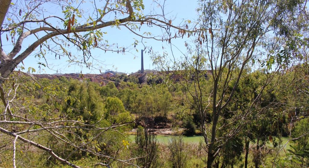
We finished the day by driving on to Backwater. The town is all about coal and promotes itself as the coal capital of Queensland. Apart from mining activity and coal trains the town was quiet on a Sunday afternoon.
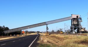
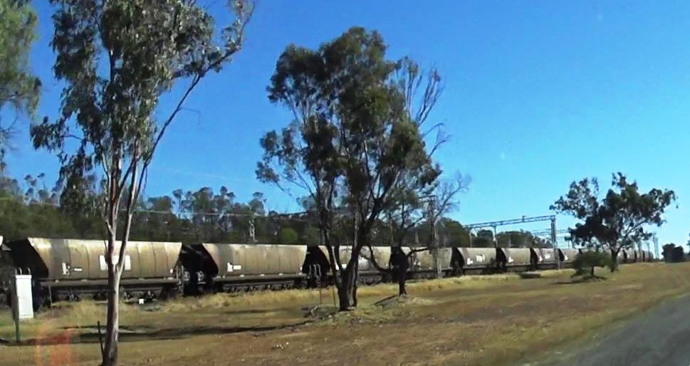
Coal conveyor and loaded train near Blackwater
The coal trains run along beside the highway in this area. At Dingo Roadhouse there is a truck parking area, the roadhouse, the highway and a strip of vacant land between us and the twin sets of rails of the coal line. A stiff south easterly breeze had been blowing the sound away from us but when the breeze dropped as evening fell it was as if the volume had been turned up.
The entrance path and old mining equipment at Backwater coal information centre
Retired underground mining equipment at Backwater
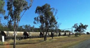
Driving past a long coal train
The trains are rather large, typically with about 100 coal wagons and three engines, with an engine at each end and one in the centre. So as they pass, you have the rumble of wheels and the scream of electric motors. The line is electrified. Trains go by at a rate of three to four per hour. So, yes, our sleep was a bit disturbed.
A final view of Blackdown Tableland as we drive back from Blackwater
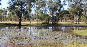
Massed water lilies in a roadside pond near Dingo